|
North & Middle Tripyramid day hike |
|---|
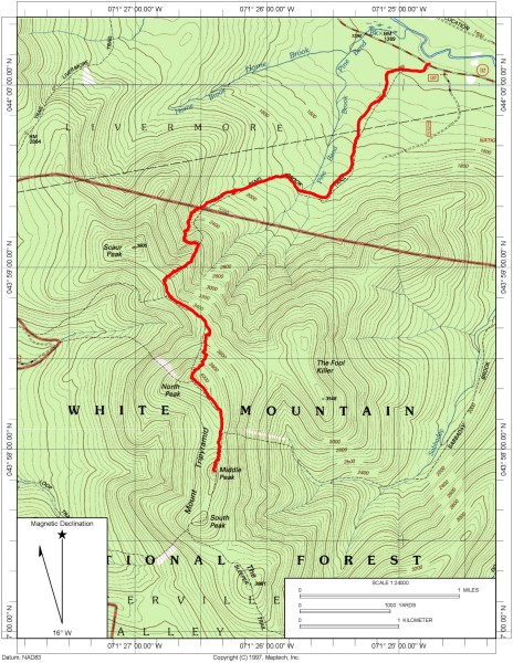
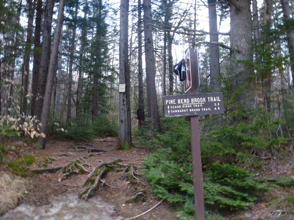
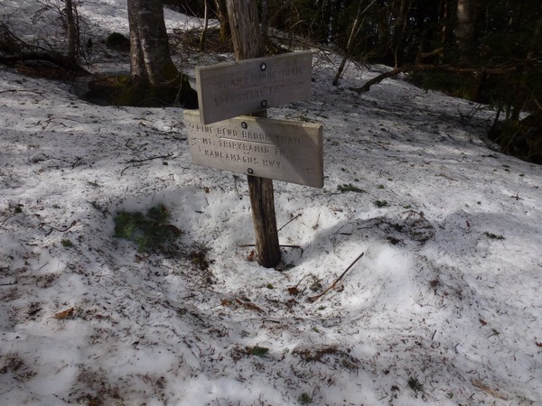
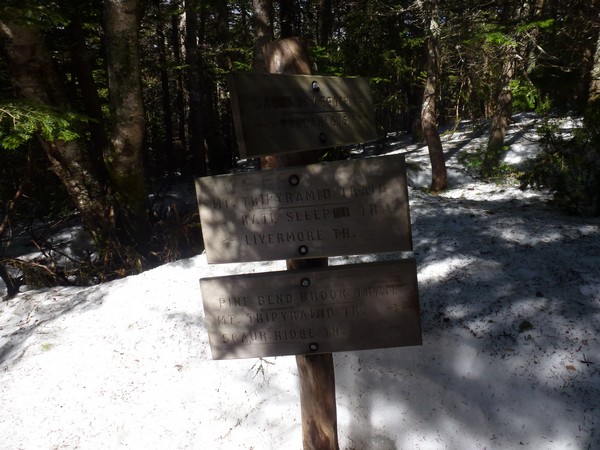
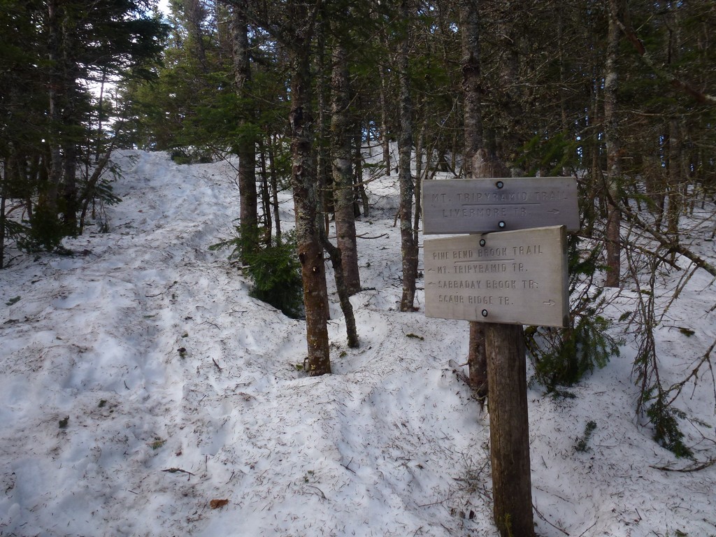
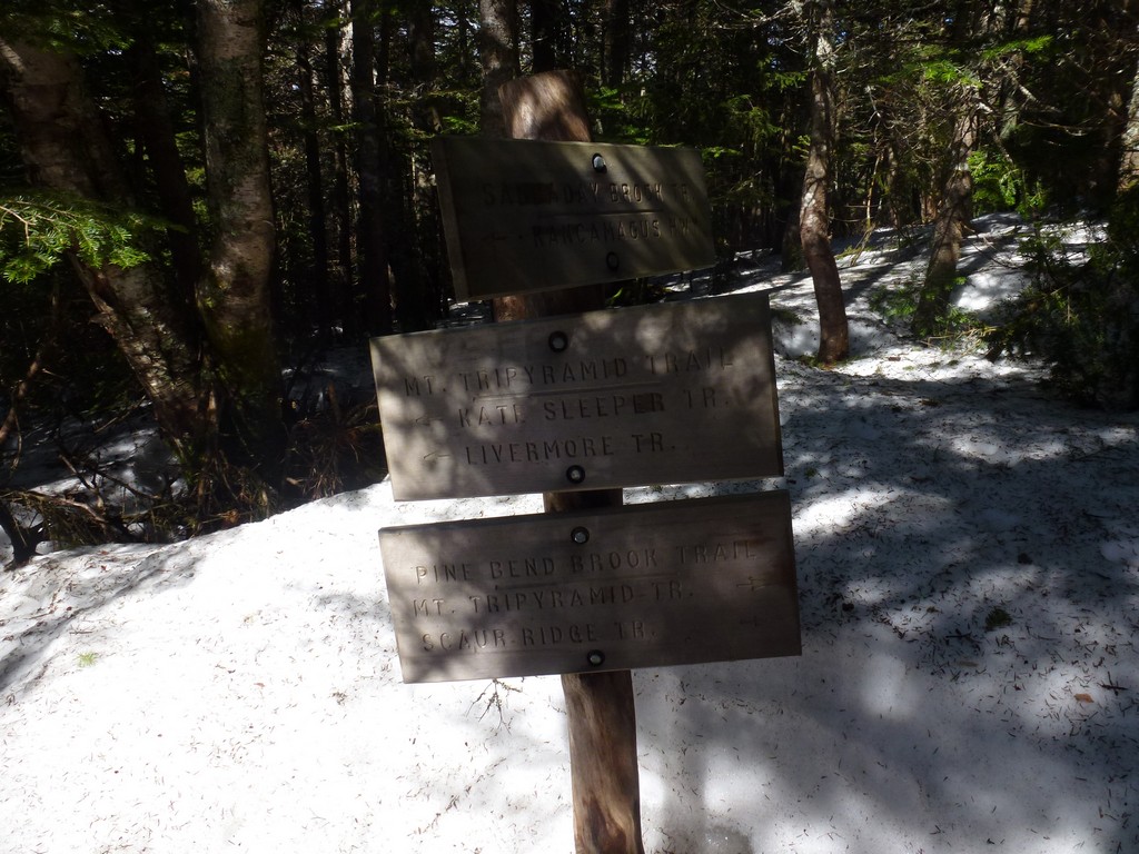
This day hike started at the trailhead for the Pine Bend Brook Trail on NH Route 112 (Kancamagus Highway) in Waterville Valley. There is no real parking area for the trailhead and most people park on the shoulder of the road opposite the trailhead. From the trailhead I followed the Pine Bend Brook Trail to the summit of North Tripyramid and then the Tripyramid Loop Trail to the summit of Middle Tripyramid, returning the same way.
|
The starting point for this hike was a small parking area on NH Route 112 (Kancamagus Highway), right across from the trailhead. These would be spring 4000-footers #4 and #5. Since I had already done them in summer, winter and autumn they would also be my first four season 4000-footers. I started this day very early and was at the trailhead and on the trail at 6:00, just a little after sunrise.
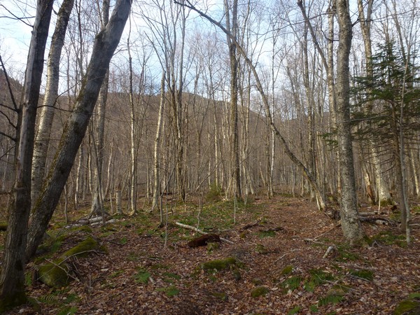
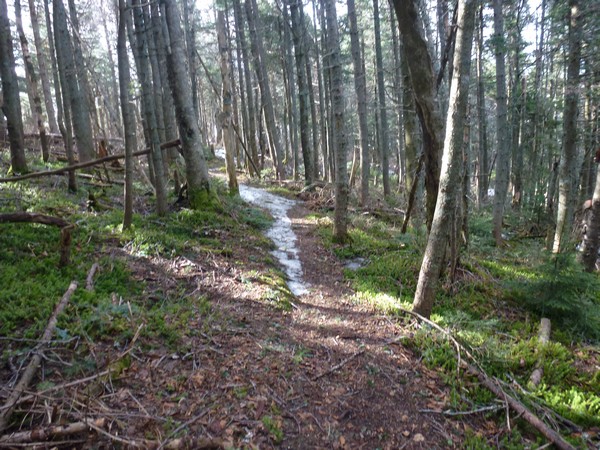
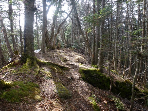
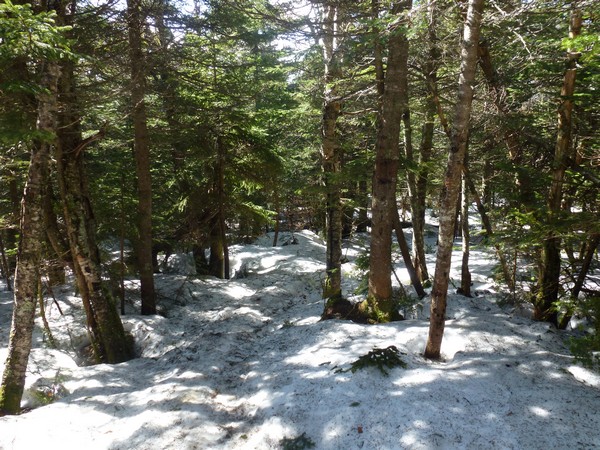
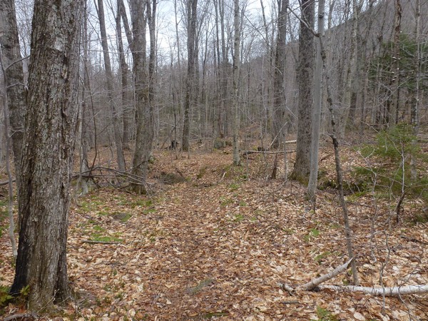
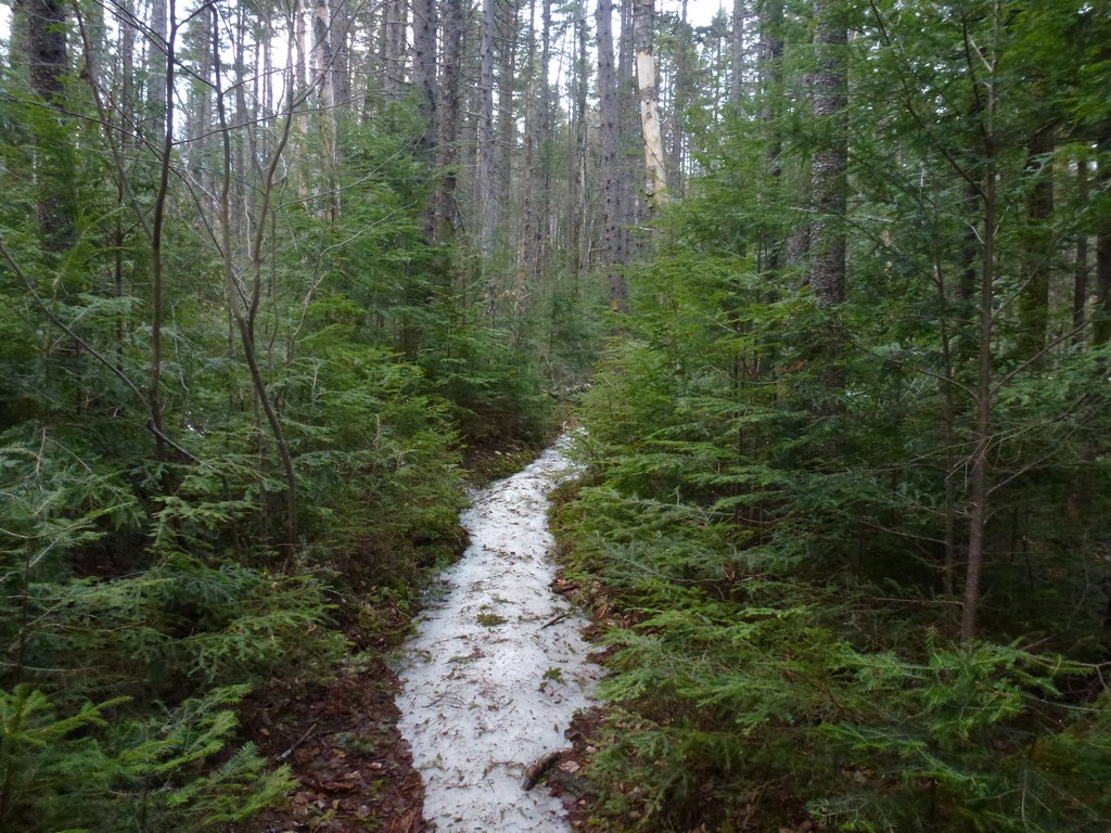
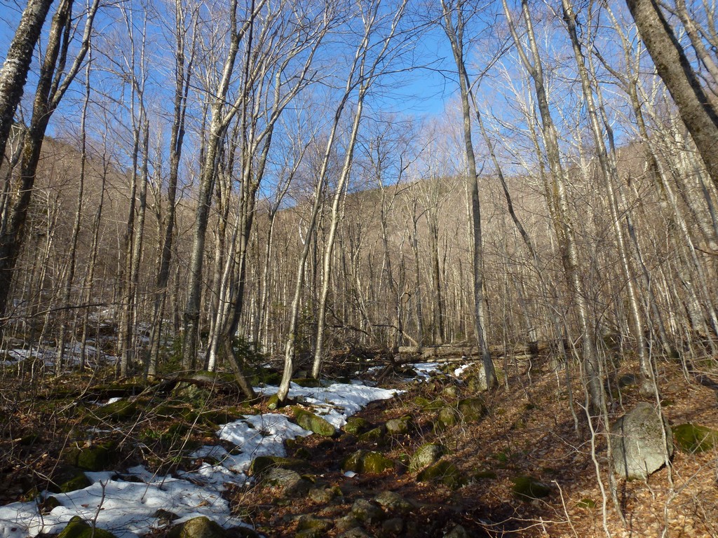
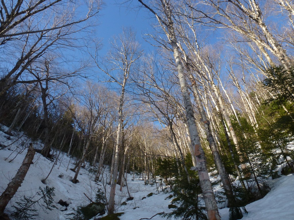
There was hardly any snow or mud on the lower portion of the trail and it was very easy going for the first hour or so. There was some monorail left in a few places but in most of these places it was easy enough to walk on dry trail to either side of it. There were not many places where it covered the trail entirely and even when it did it was not that difficult to walk on it for the short distances.
|
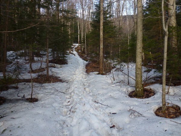
After I had been hiking for about an hour things started to change. I hit one snowy section that went on for a while before giving way to dry trail again. I still managed this bare booted but I was pretty sure it would not be long before I would be putting on the microspikes.
|
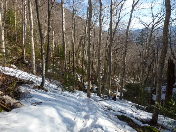
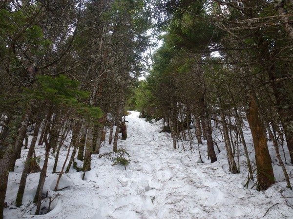
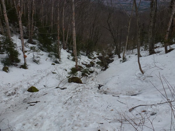
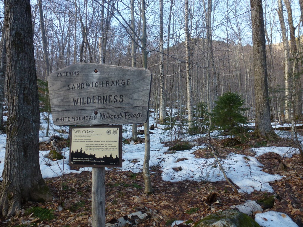
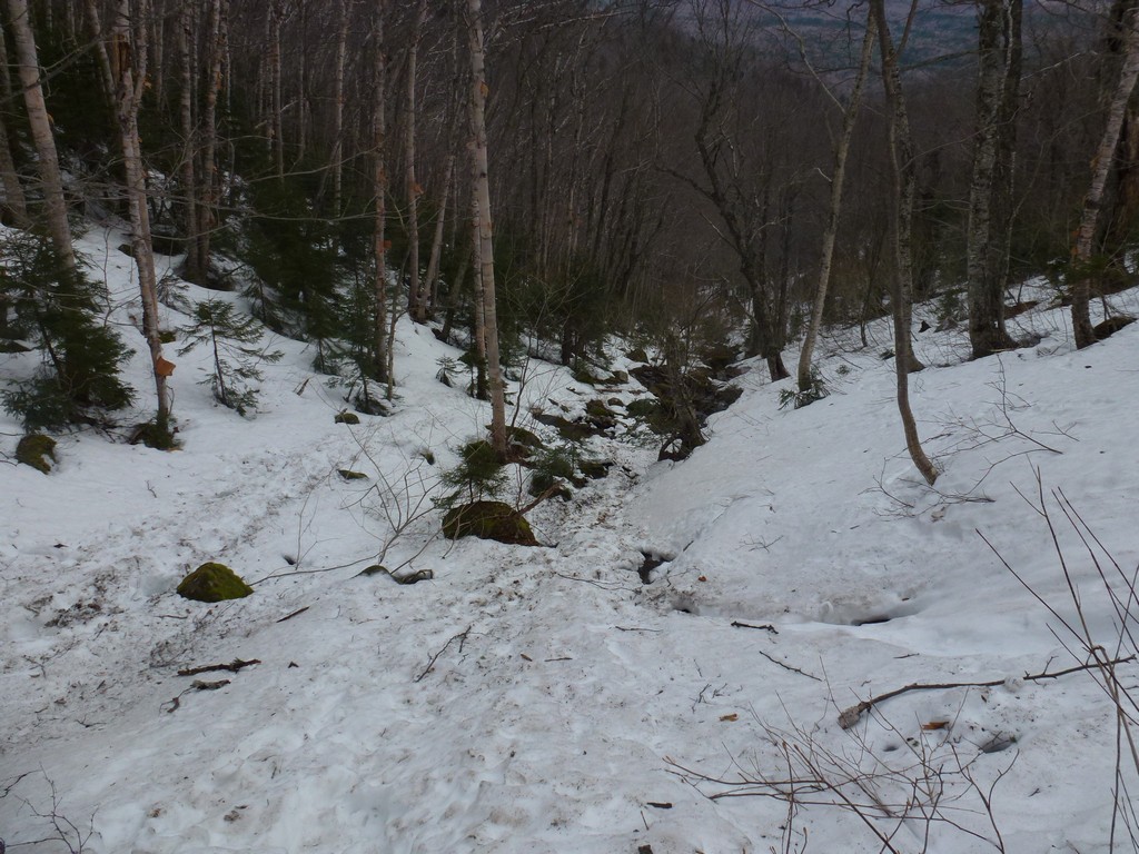
As soon as the trail started to gain some elevation I was in more and more snow. Just past the Wilderness Boundary the trail starts to climb more steeply and one section in there was a real mess with soft, mushy snow that I knew was going to be a lot softer and more mushy on the way back down. I wasn't looking forward to it.
|
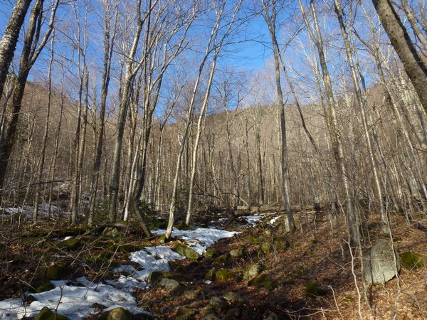
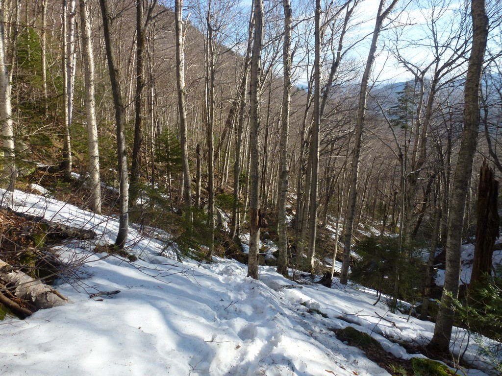
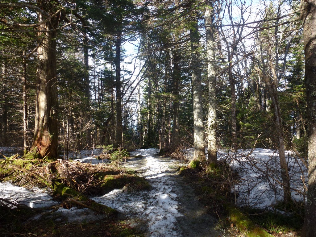
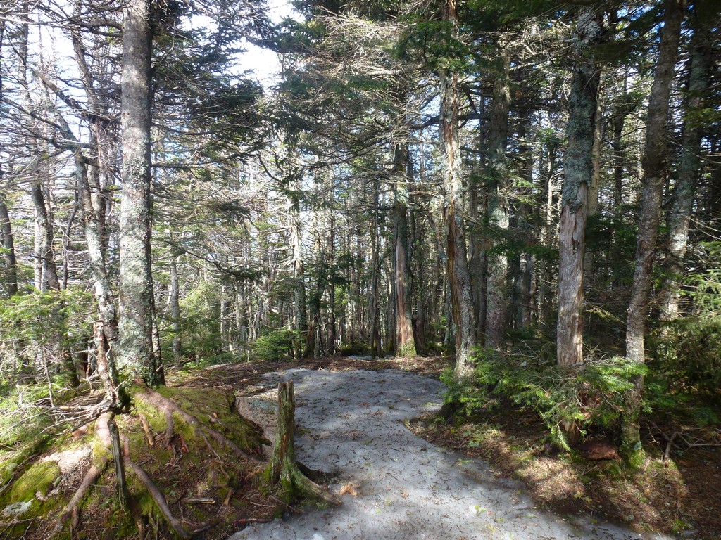
I was very happy when I got above that steep section and was on the lower ridge. There was less snow on top and there were even a couple of sections of bare trail.
|
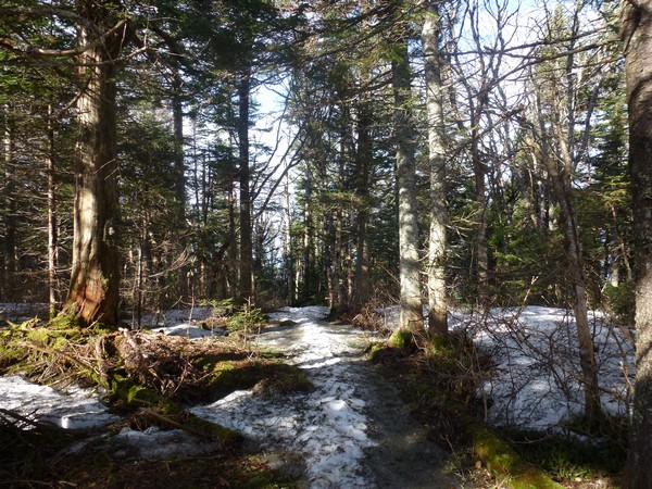
I was back in the snow as soon as the trail started to climb again but in a little more than a half of an hour I was on the north peak. The snow higher up was still pretty firm and easy to walk on but I knew that too was going to change in a few hours.
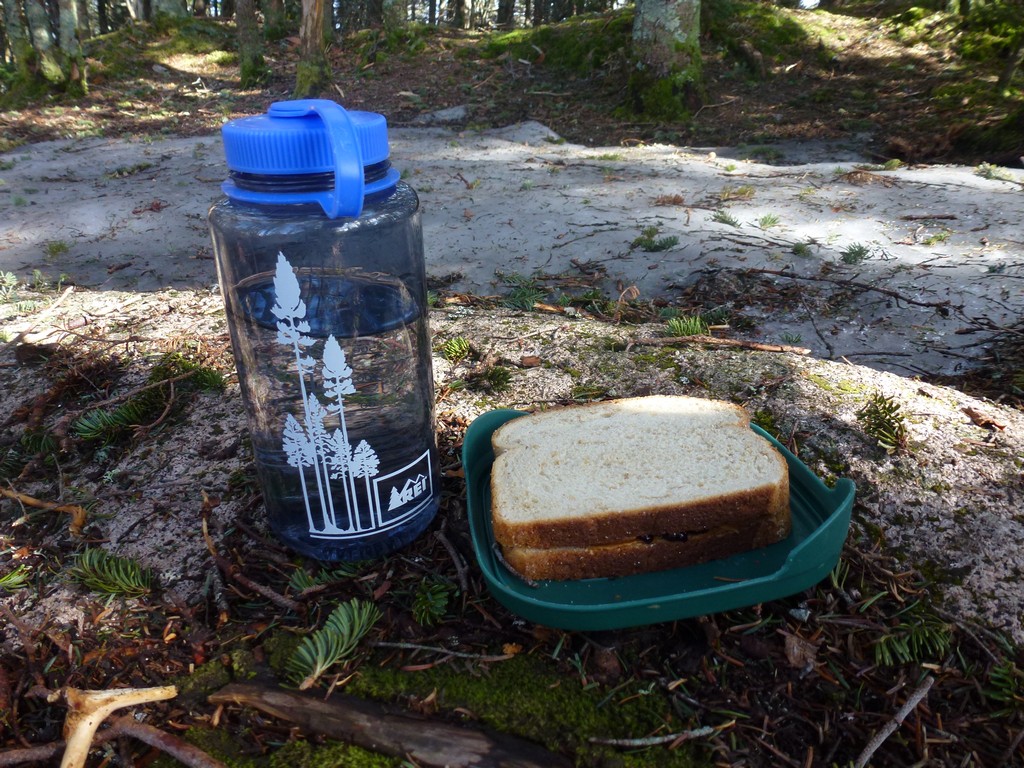
I decided to eat my lunch on North Tripyramid even though it was no where near lunch time. This hike had started early and would end fairly early and I was hungry after all of the climbing anyway.
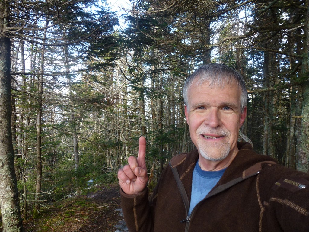
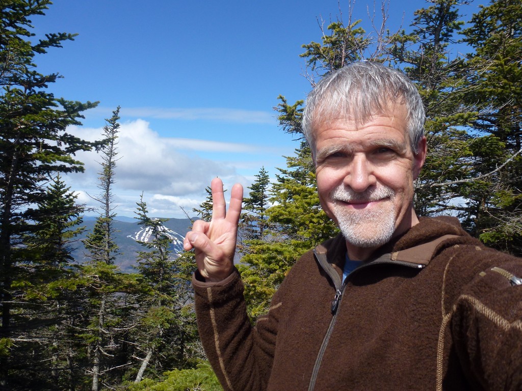
North Tripyramid was only the fourth 4000-footer that I had been on in the spring hiking season and was the first peak that I had completed in all four seasons so it was definitely a milestone.
|
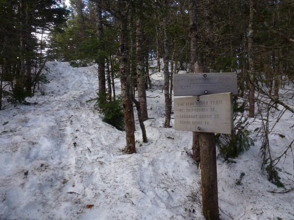
After a nice rest on the north peak I was off for the middle peak. It took just about a half of an hour to get there and I was there right around 10:00.
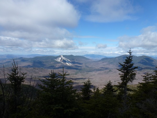
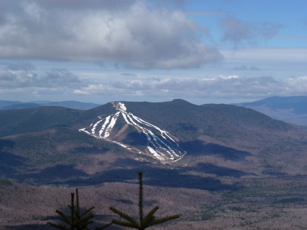
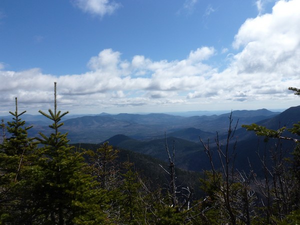
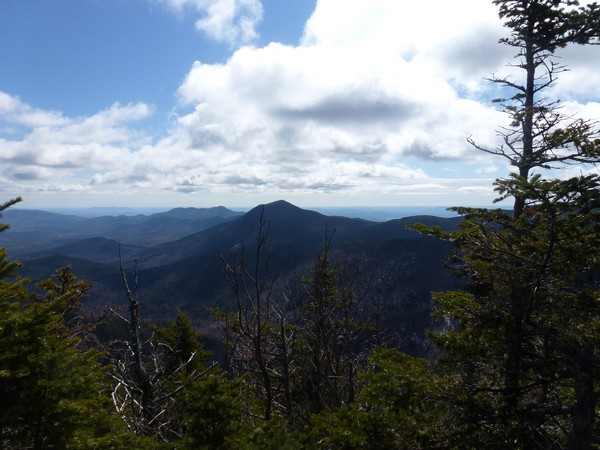
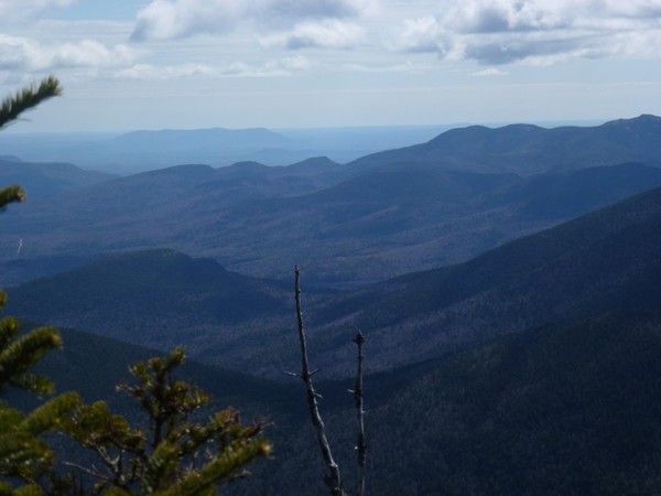
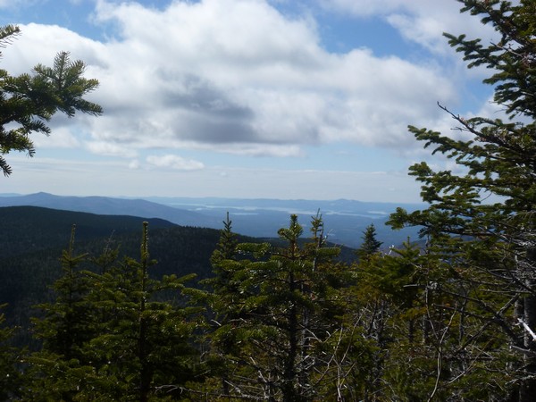
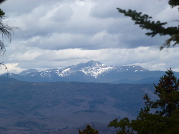
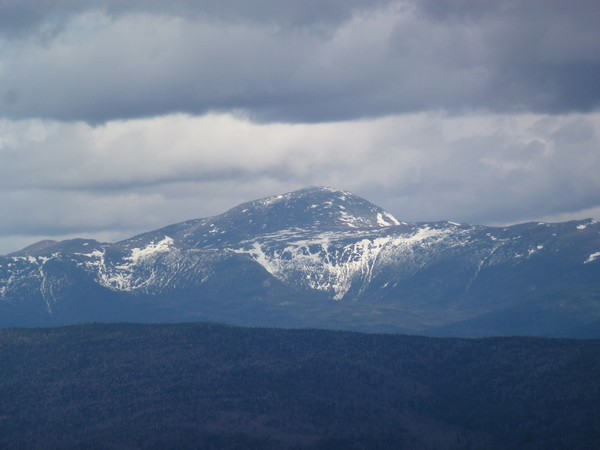
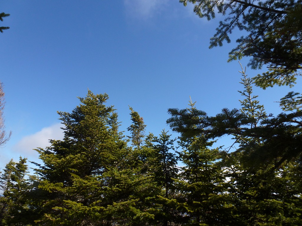
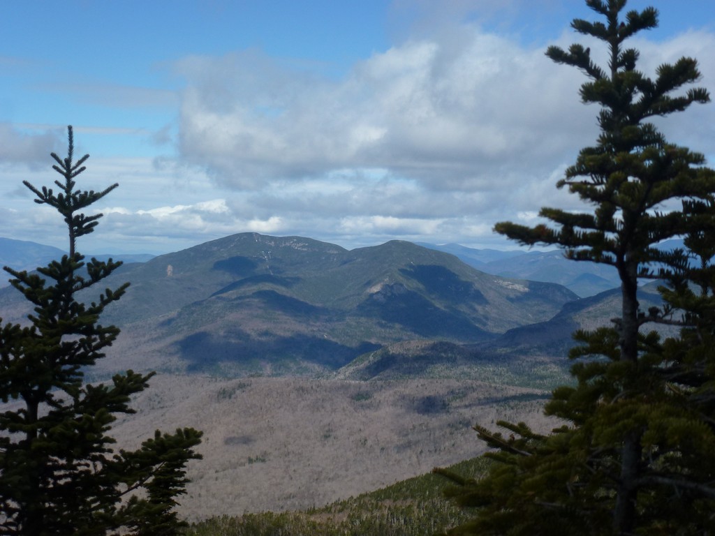
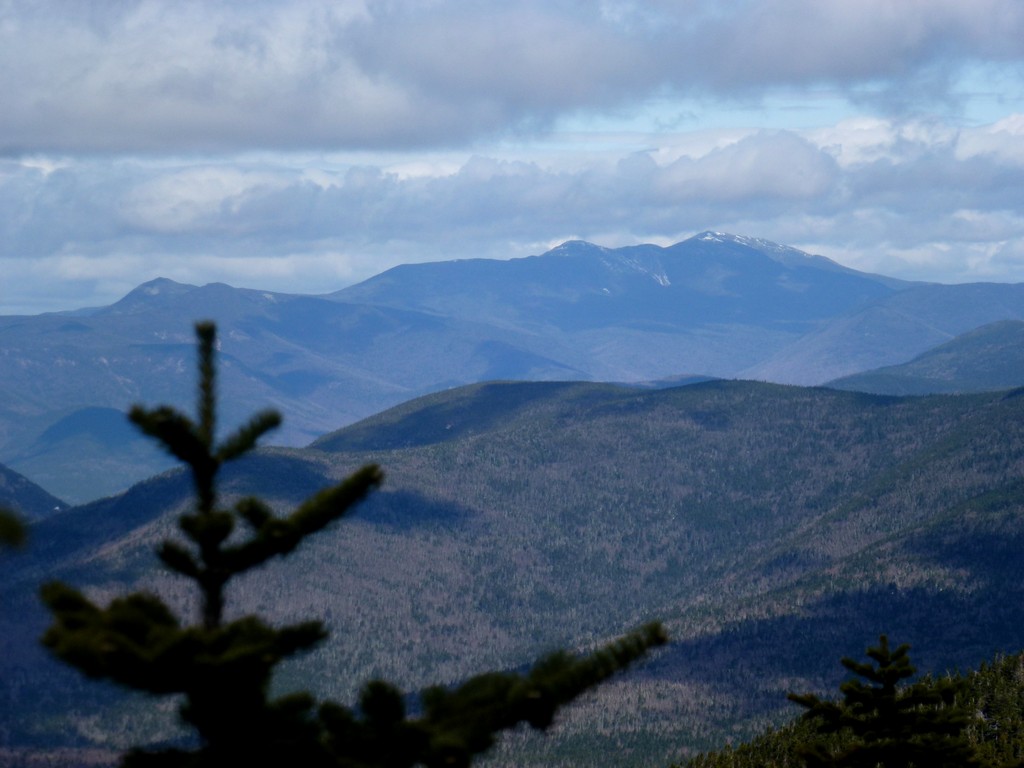
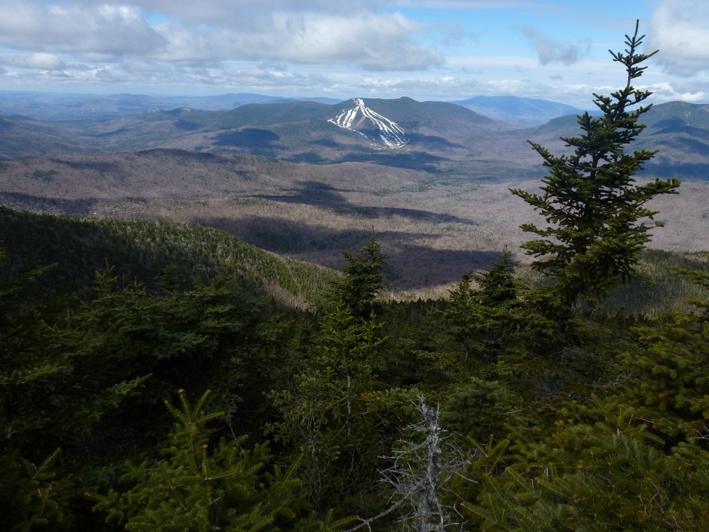
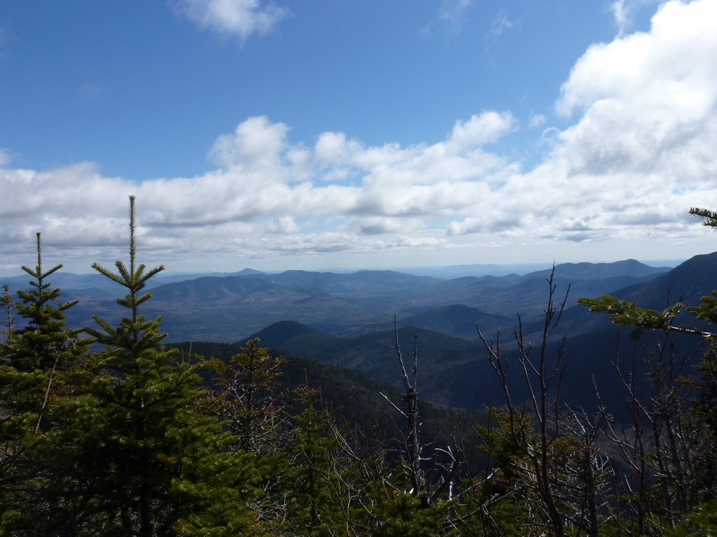
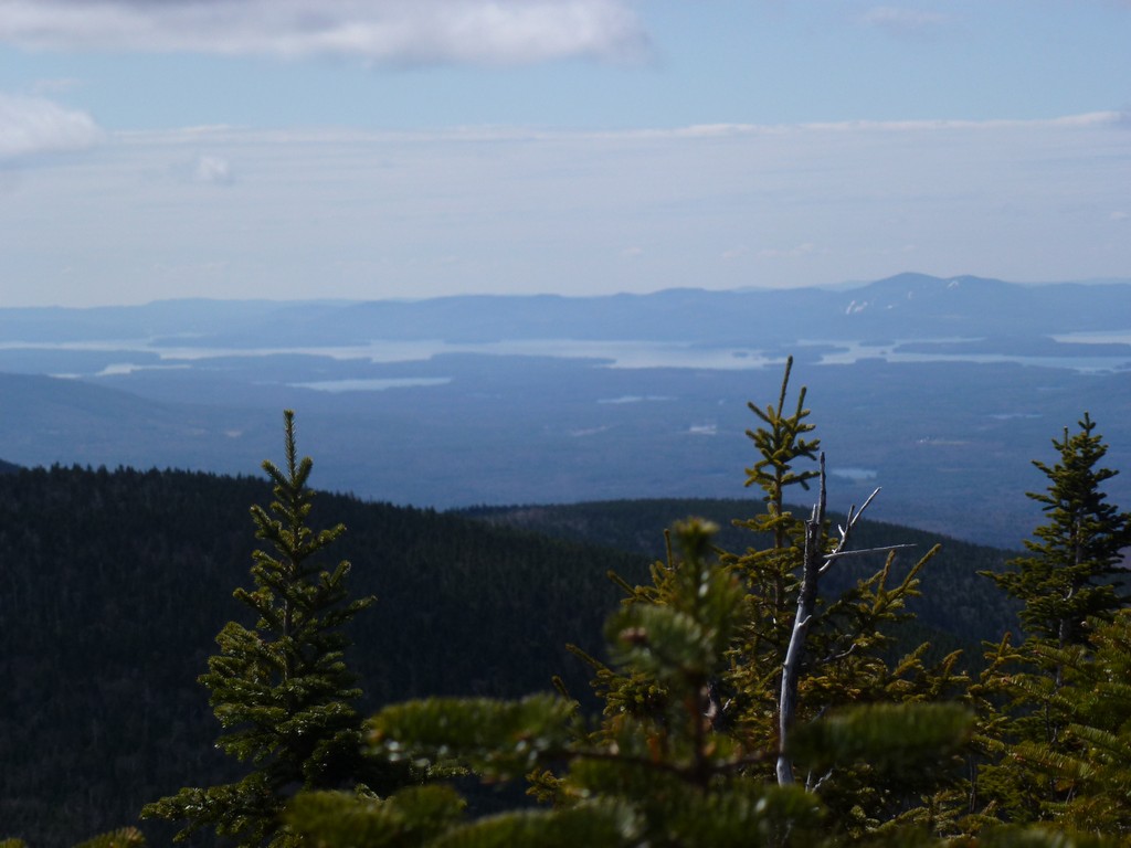
There are no views at all from North Tripyramid but the views from Middle Tripyramid were wonderful. It was still a very beautiful day with lots of sunshine and blue sky but the clouds were definitely starting to build. All of the peaks were still below the clouds however the visability was awesome.
When I had done these peaks as winter ascents back in mid-March of 2012 someone had hung Tibetan prayer flags along the view point to the east and they looked very pretty blowing in the wind up there. The summit was bare now though and the view was unobstructed.
|
Another hiker showed up just as I was getting ready to start down and that was the only person I had seen so far all day. He made a comment about how I must have started very early to be up there already and I told him I had started right at 6:00.
On my way back to the north peak I actually met someone I knew, Robie, who I had hiked with a few times a couple of years prior. We first met during my Owls Head hike when I was finishing my first round of the 4000-footers back in October of 2011. We hiked together a couple of times after that doing Mount Isolation in November of that year and then Cannon Mountain in December. He was curretly working on The Grid and the Tripyramids were a couple of the few that he still needed in May. We talked for a while before he headed off to bag Middle Tripyramid and I continued my hike up and over the north peak and then down the other side.
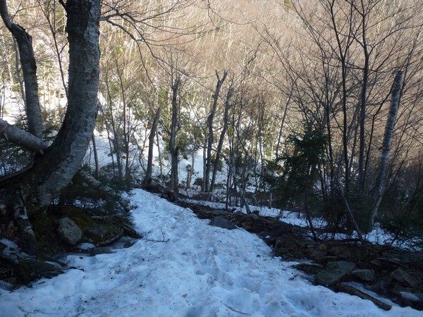
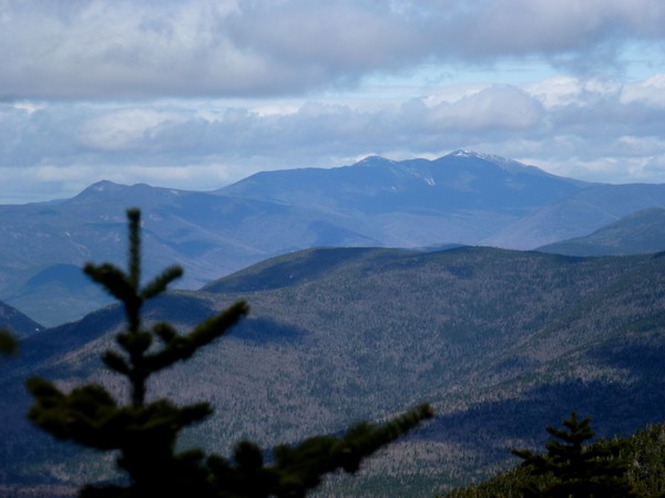
I had a really nice view of Mount Washington and the Presidentual Range through the trees right before I started down into the steep section of soft, mushy snow.
The descent through that section was as bad as I had feared and even my microspikes were very little help. Snowshoes might have been more helpful there but the trail was also very uneven so I don't know. Lukcily it was not a long section and I knew that when I got to the bottom I would be back on mostly bare and reasonably dry trail again.
|
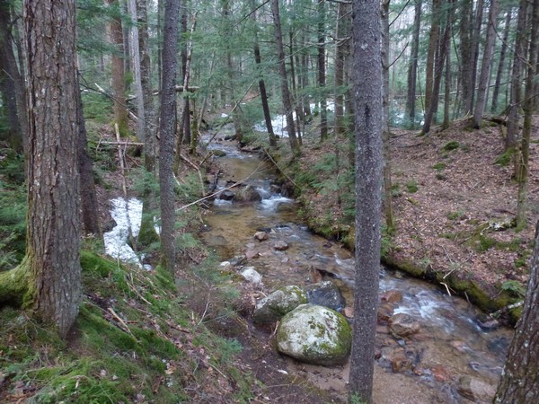
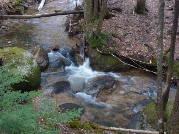
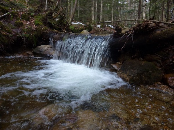
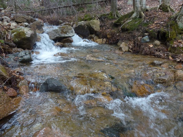
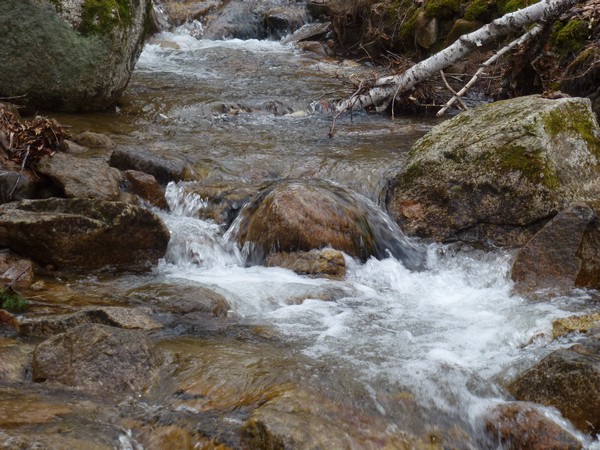
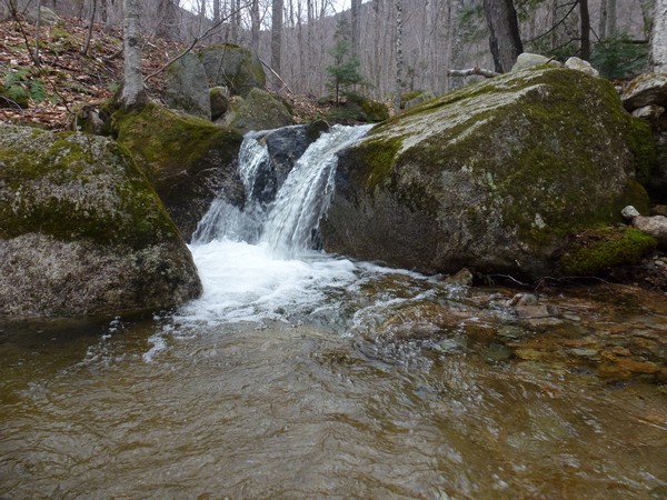
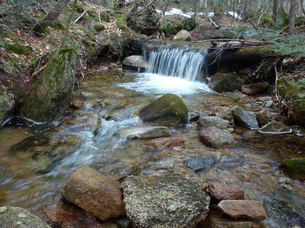
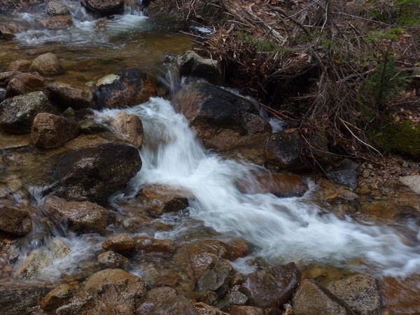
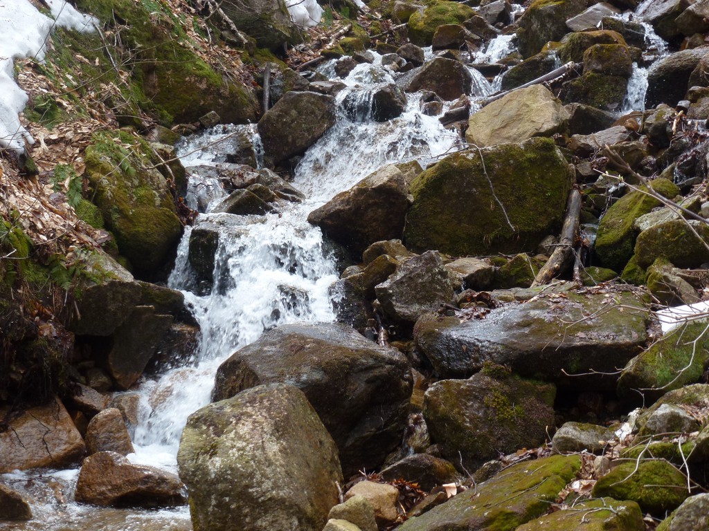
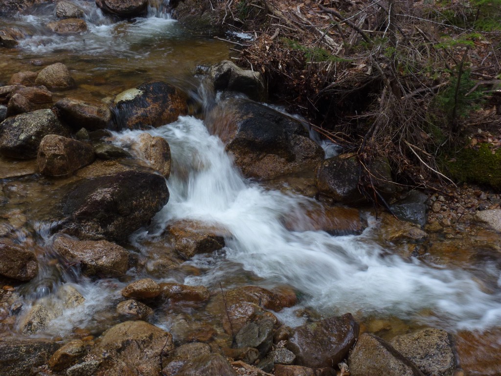
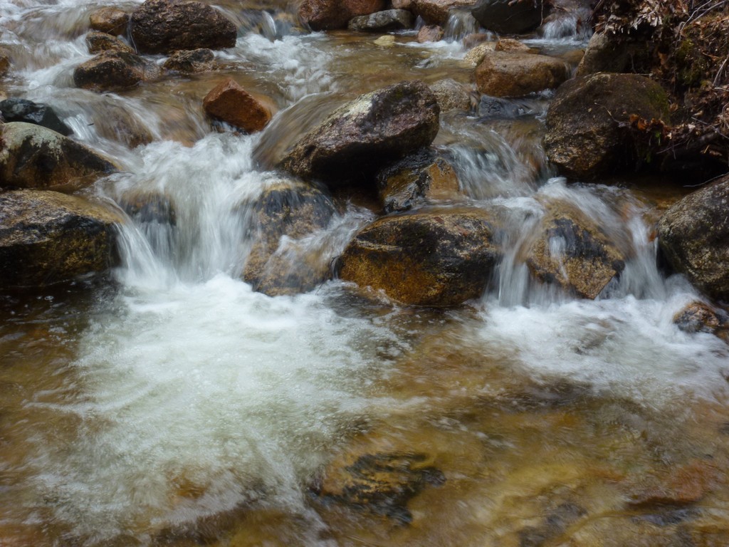
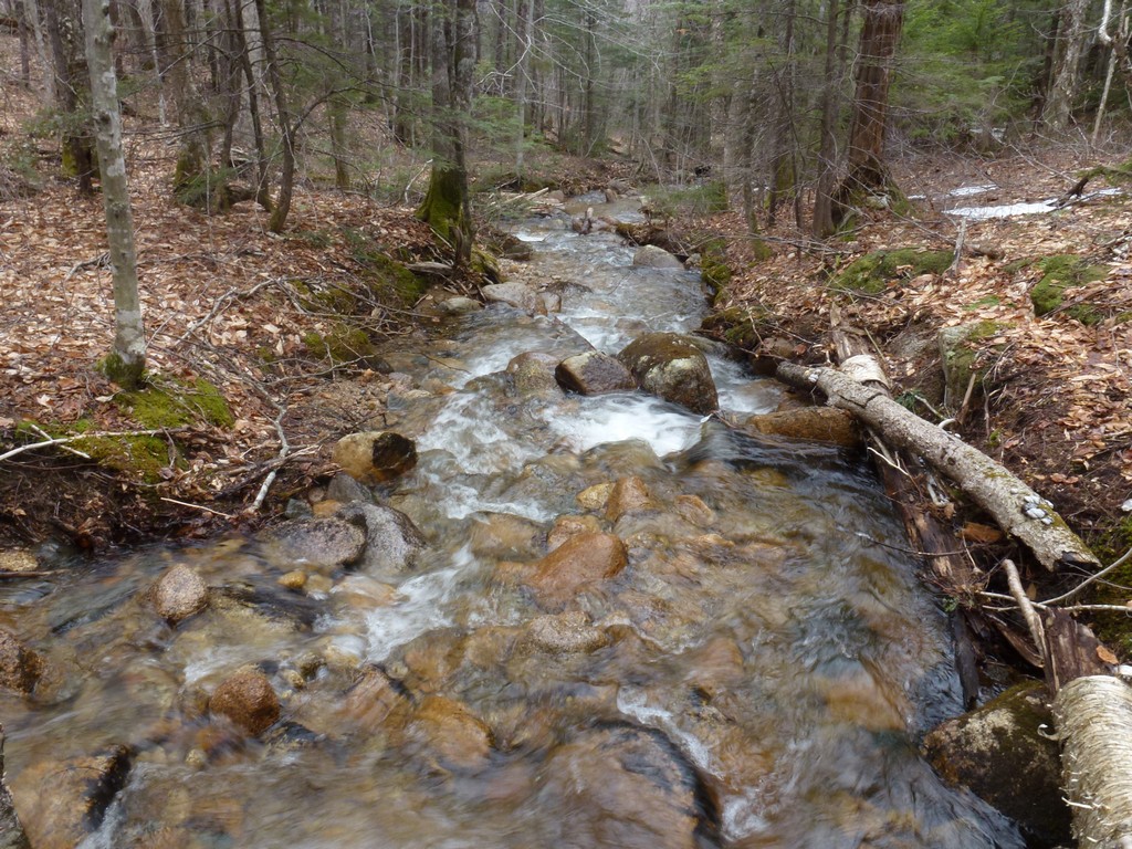
It was a very pleasant relief to finally be back on good trail again and walking along side the brooks. I actually slowed my pace a little so I could enjot the final streatch of trail back to the highway And I stopped quite a few times for photos of the little waterfalls and cascades.
|
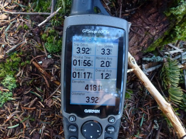
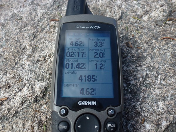
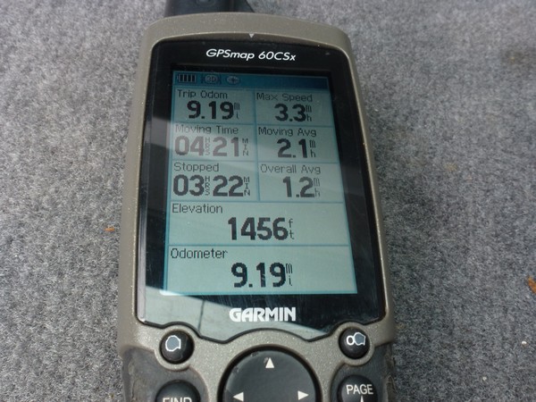
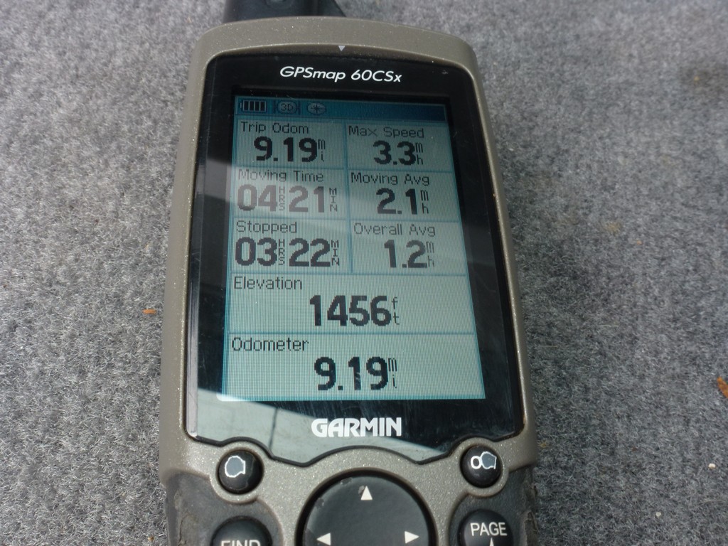
I still made pretty good time for the entire hike doing slightly more than 9 miles in slightly under 8 hours. As usual the GPS recorded a lot more stopped time than I knew I was actually stopped but I think I counts some of the steep uphill sections when I am not moving very fast as stopped. I was not moving very fast on that steep section of mush on the way down either. I did also stop for a lot of photos especially along the brook on the final section.
|
Since I was hiking alone I did not bother with any kind of post hike meal. It was way too early for dinner anyway and I was actually back home in time for dinner.
|
|
|---|
|
|---|


