|
North & Middle Tripyramid day hike |
|---|
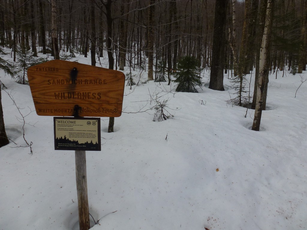
This day hike started at the parking area across the road from Forest Road FR25 right off of US Route 3 in Bethlehem. The road to the Gale River Trail trailhead is closed in winter which adds an addtional 1.6 miles each way to the hike. From the parking area we followed the road to the trailhead and then took the Gale River Trail, to the Garefield Ridge Trail, to the Frost Trail to the summit of Mount Galehead, returning the same way.
|
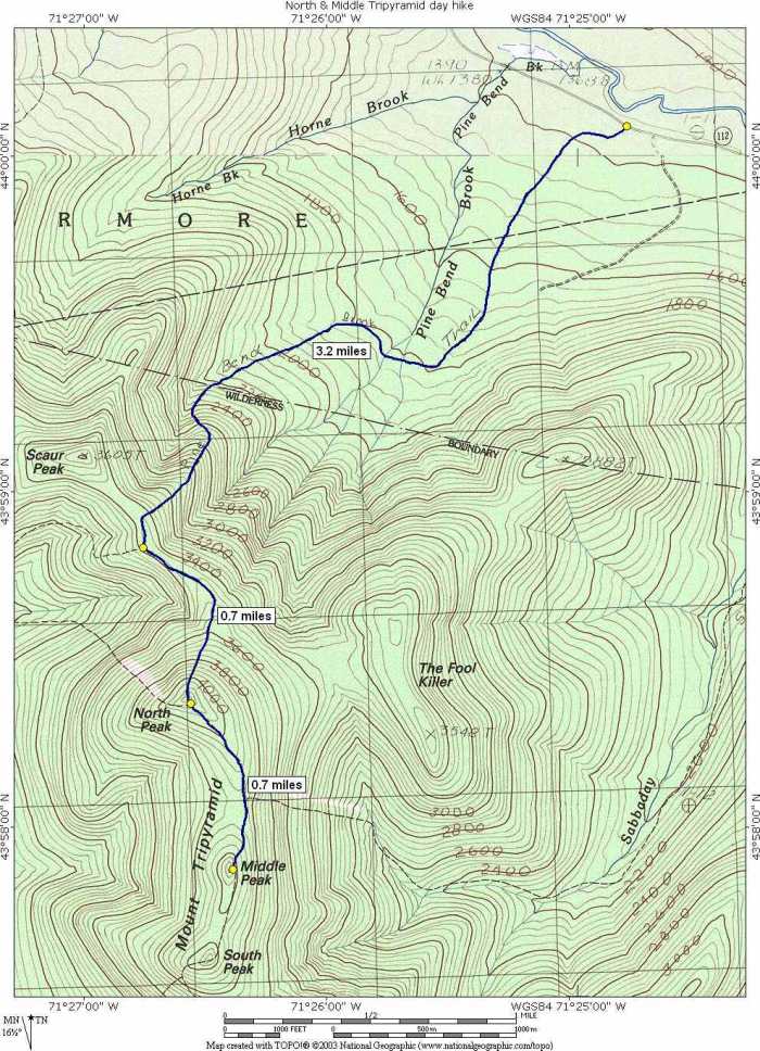
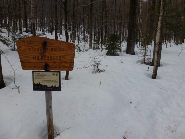
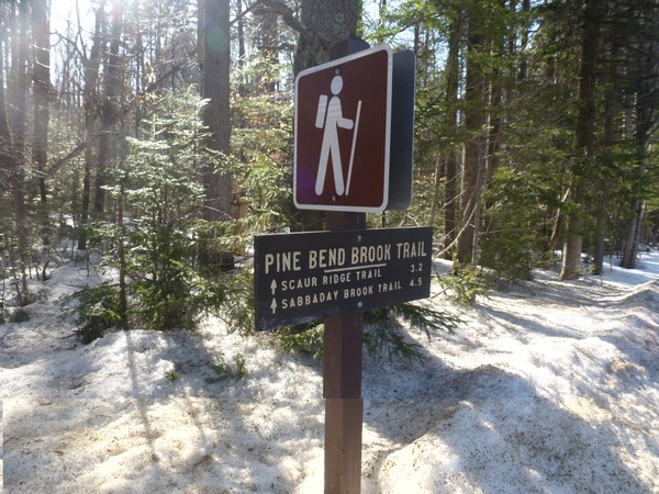
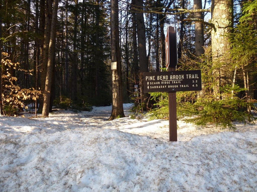
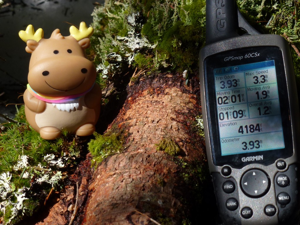
The starting point for this hike was a small parking area on NH Route 112 (Kancamagus Highway), right across from the trailhead. These would be winter 4000-footers #21 and #22 for me. I had hoped to start this hike much earlier, before the sun came up, but a mishap with my alarm clock had me sleeping about an hour later than I had wanted. As a result I did not start this hike until almost 8:00.
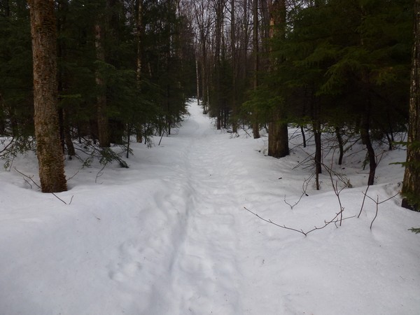
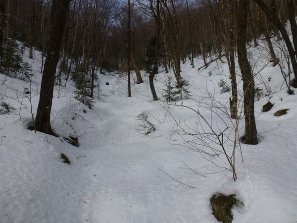
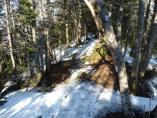
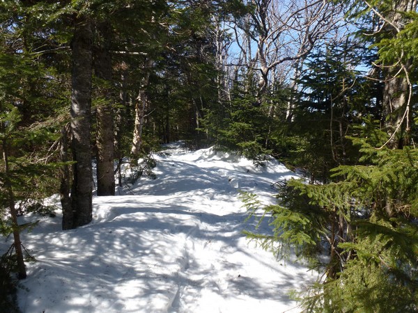
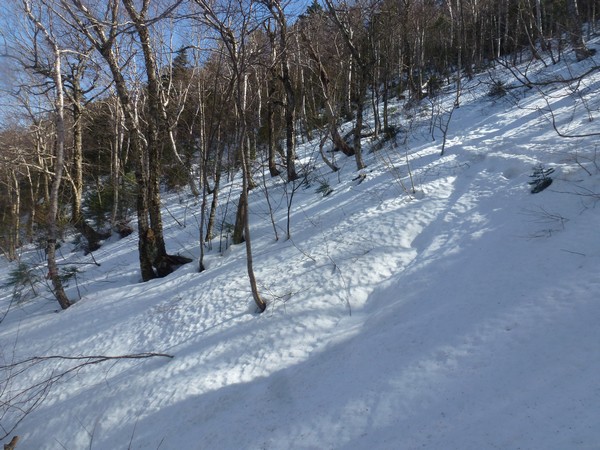
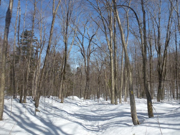
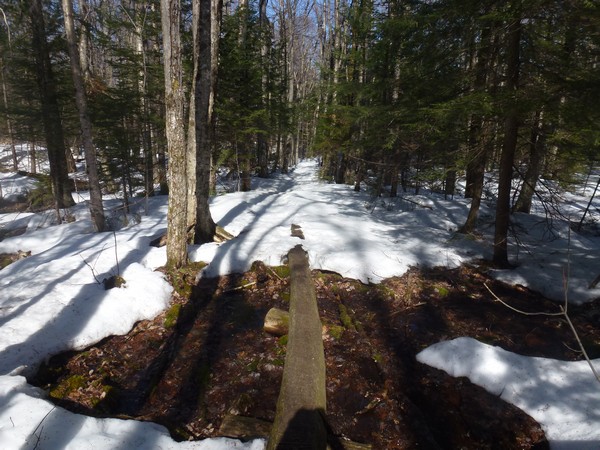
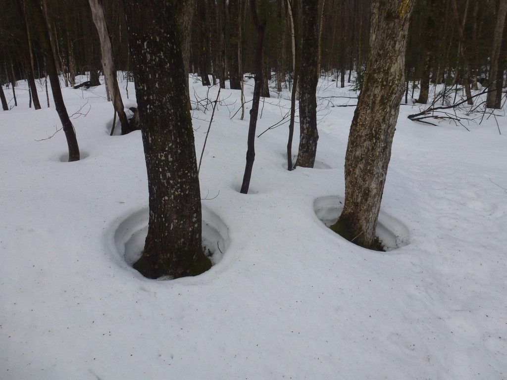
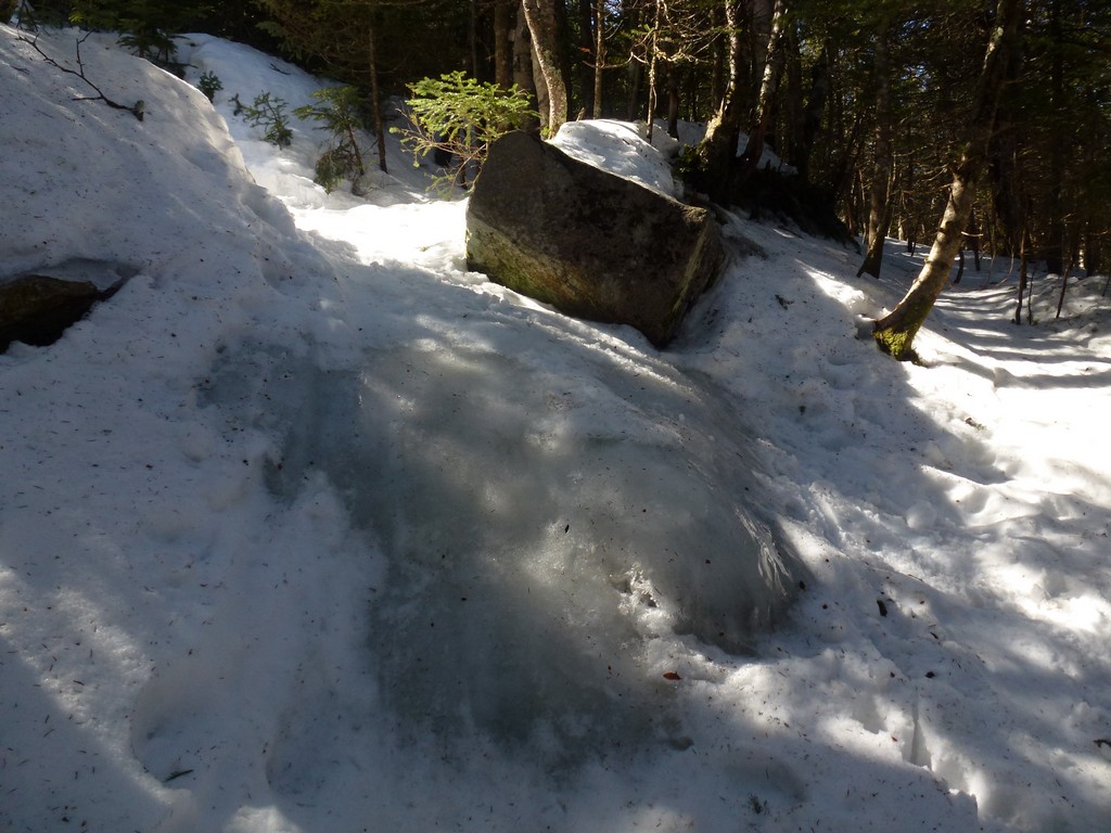
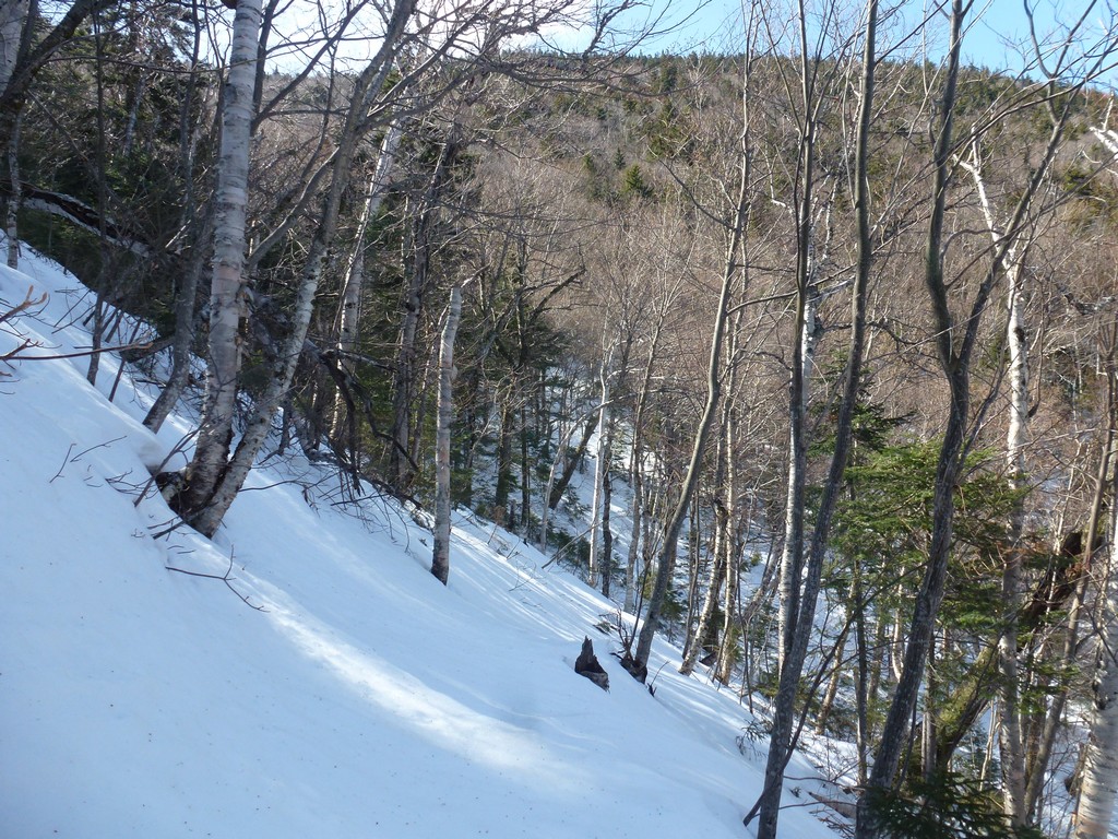
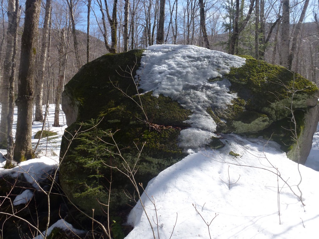
It was a warm and sunny day for mid-March in New Hampshire. The temperature never even went below freezing the night before and was already in the upper 30s when I started hiking. The trail as a result was not in the best of conditions. It was ok if you could manage to stay right in the center, where most people had been walking, but this was no always easy. The melting had caused the hard packed portion of the trail to become sort of rounded so if you were not right on top of it your foot could easily slide down the rounded part and into the unpacked, mushy snow to either side.
|
Things got worse the higher up I went as the snow got deeper, but was still wet and mushy. I had hoped there would be some re-freezing at night and I would have a more solid trail higher up but this was not the case. Now when my boot slid off the trail or I miscalculated the center I ended up in snow up to my knee. I couldn't count how many times this happened and I was regretting not having my snowshoes with me. I know they would have been useless on the steep upper reaches of this trail and also on the way back down but they would have help a little on the way up before the trail got steep. I really need to get some better snowshoes.
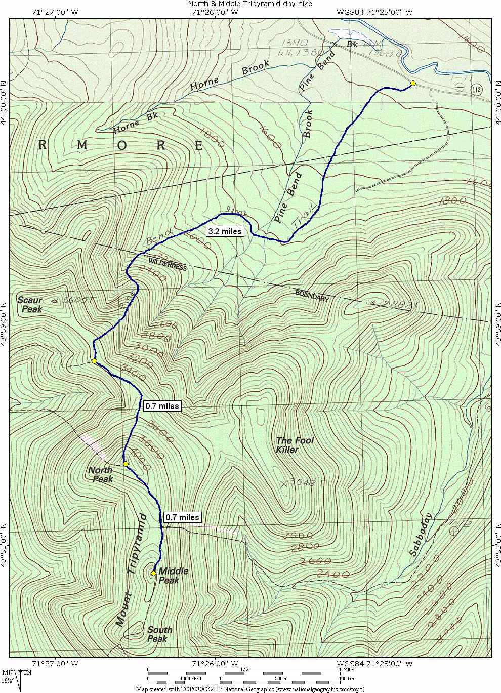
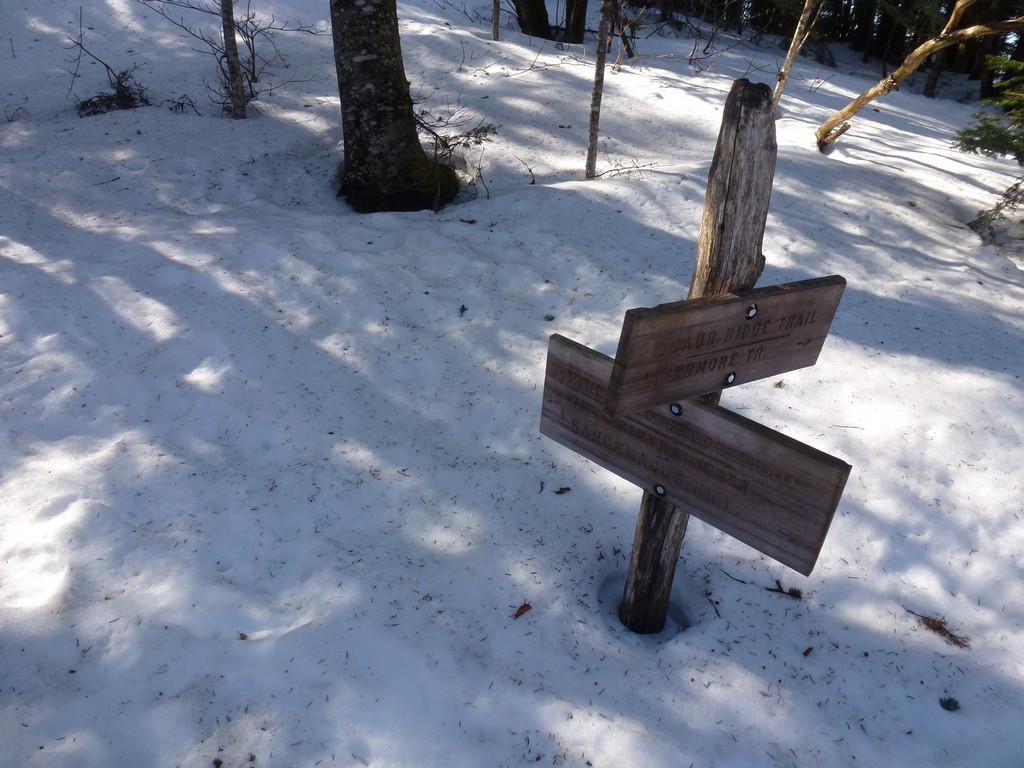
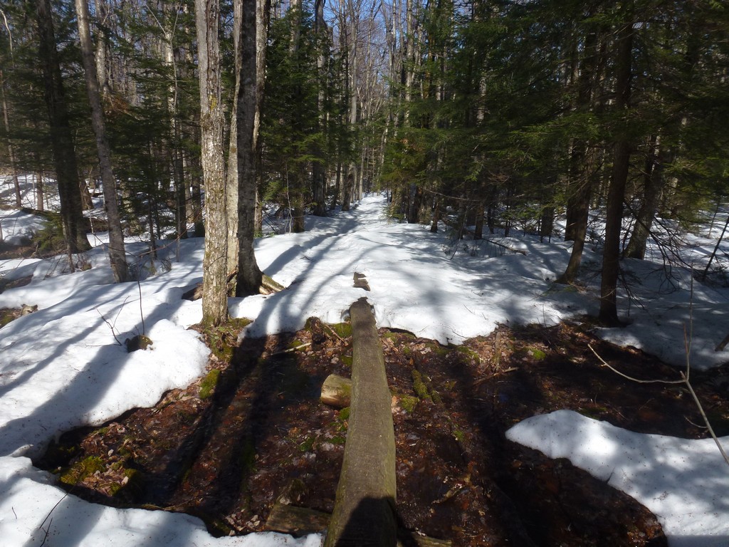
The plan for today had actually been to do the Tripyramids in the morning and then the Osceolas in the afternoon and as this hike progressed I knew that wasn't going to happen. I started this one too late and because of the trail it was taking way too long. It took over 2 hours to cover those first 3.2 miles to the Scaur Ridge Trail.
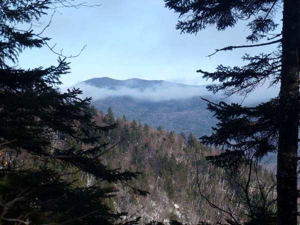
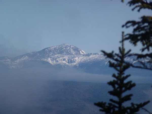
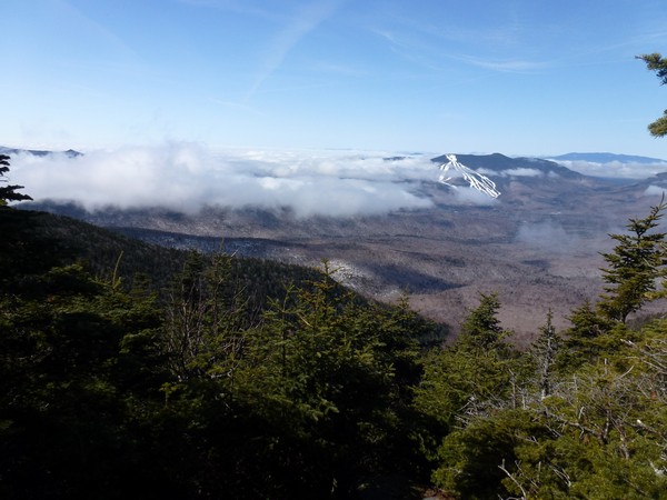
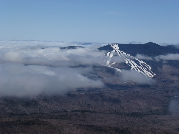
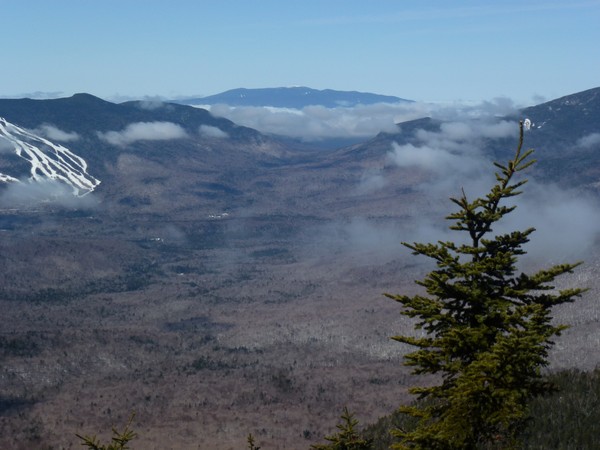
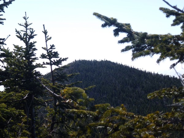
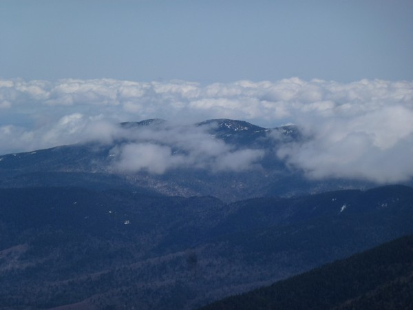
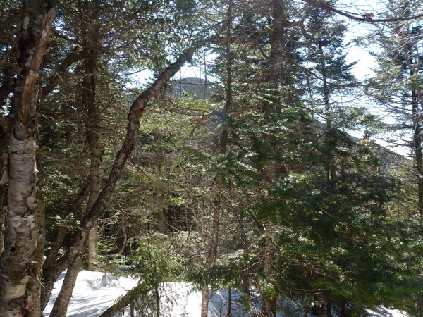
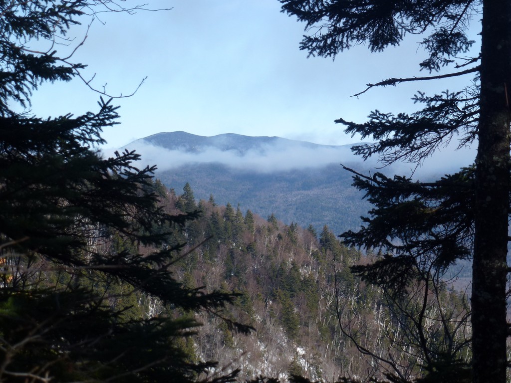
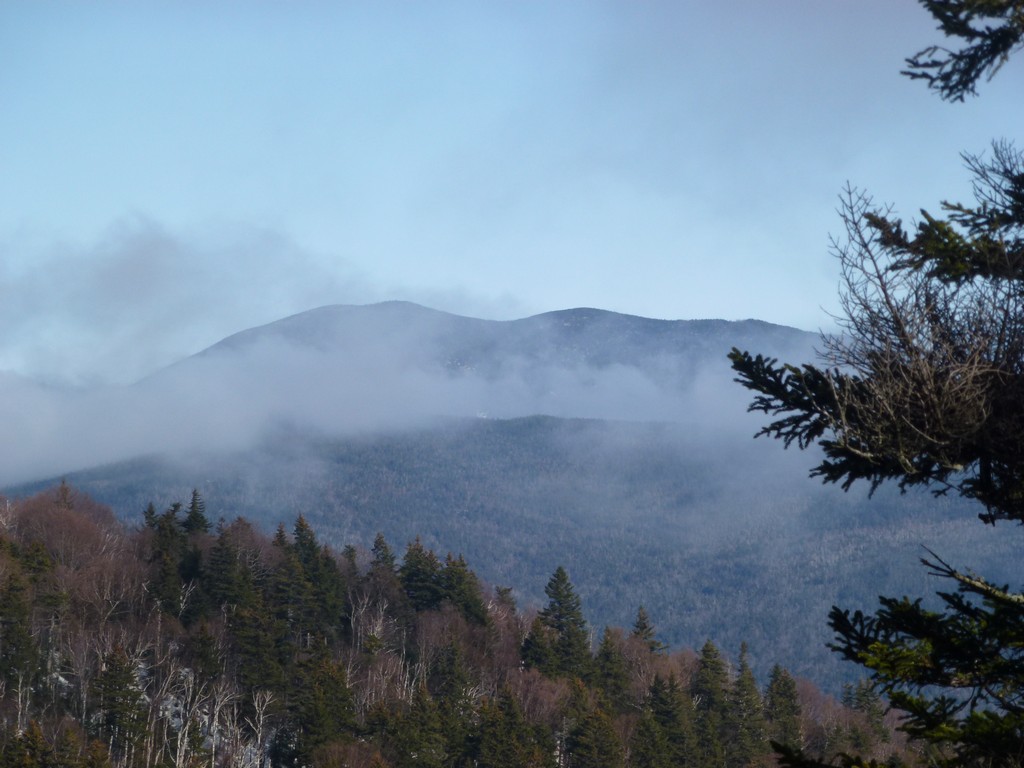
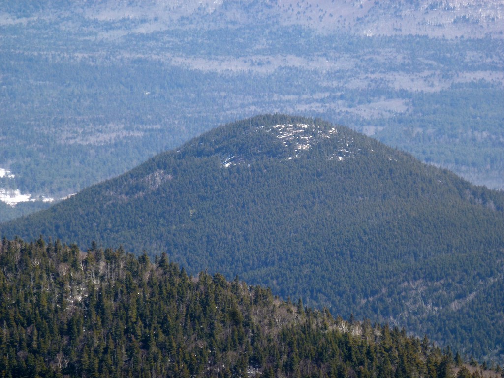
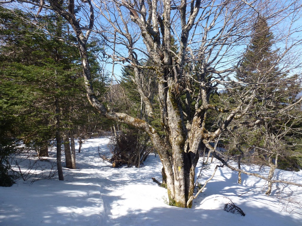
It was still a very pretty morning with lots of sunshine and I had some pretty amazing views of the clouds in the valleys through breaks in the trees when I got higher up.
|
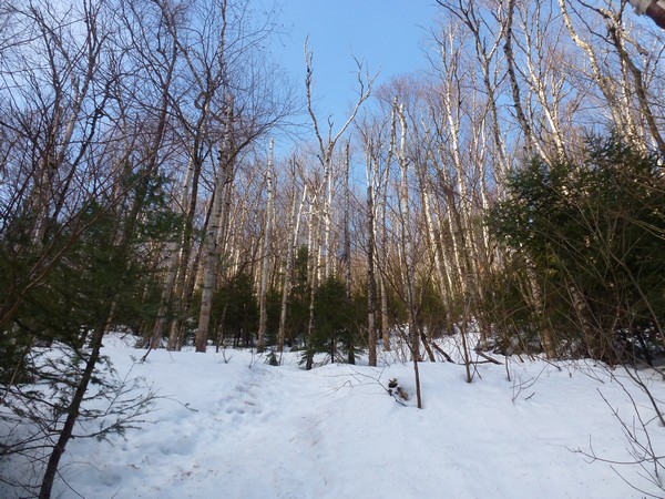
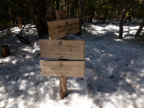
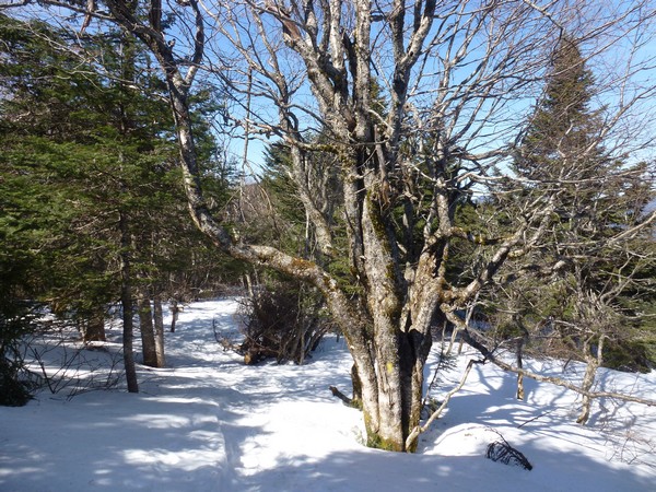
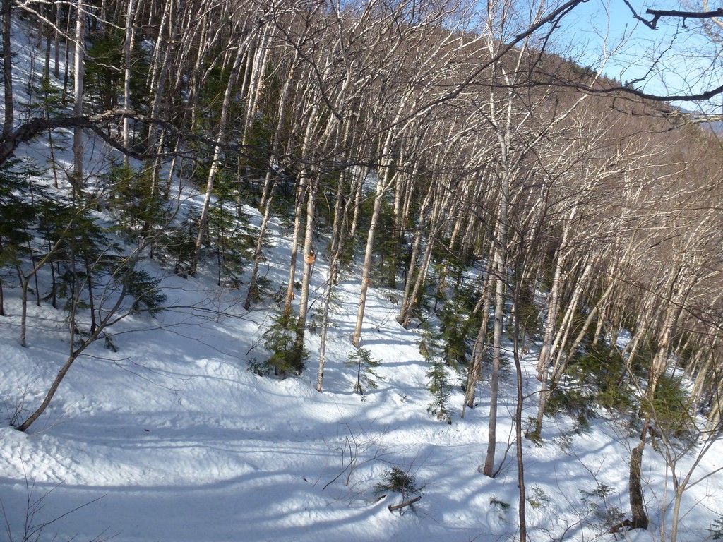
The trail was not that much better up on the ridge but at least I was above the steep stuff. There was actually the occasional spot where the snow had not been so deep and had already melted away entirely. It took about 45 minutes more to cover the 0.7 miles to the summit of the north peak.
|
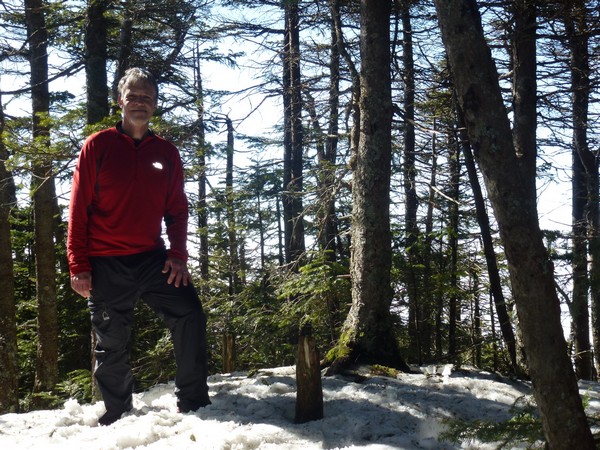
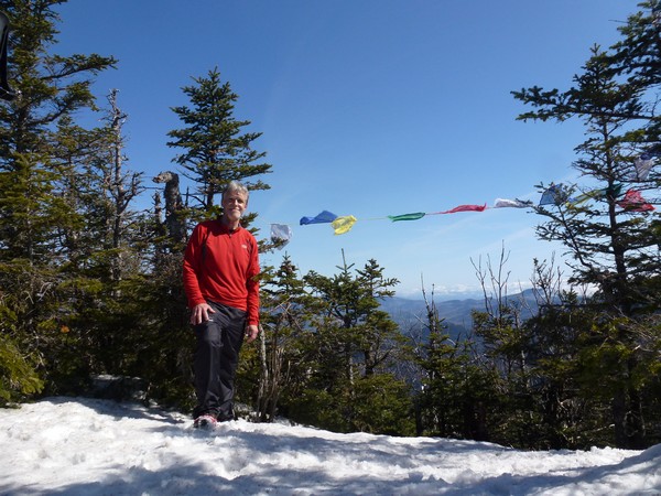
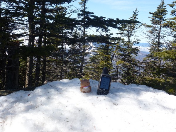
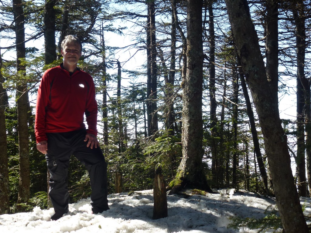
I didn't linger long on the north peak since it is all trees and there are no views. I just took a few photos and headed off for the middle peak.
|
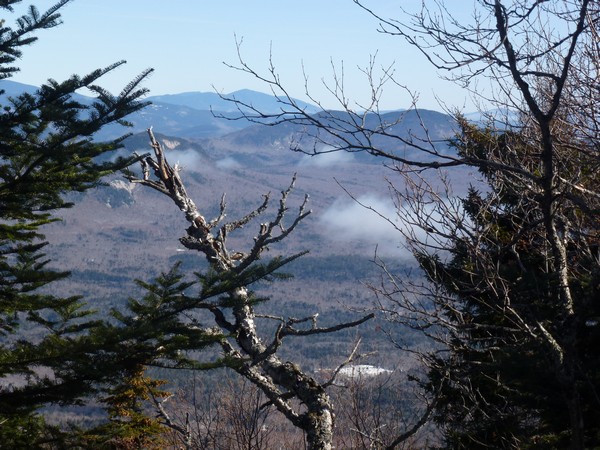
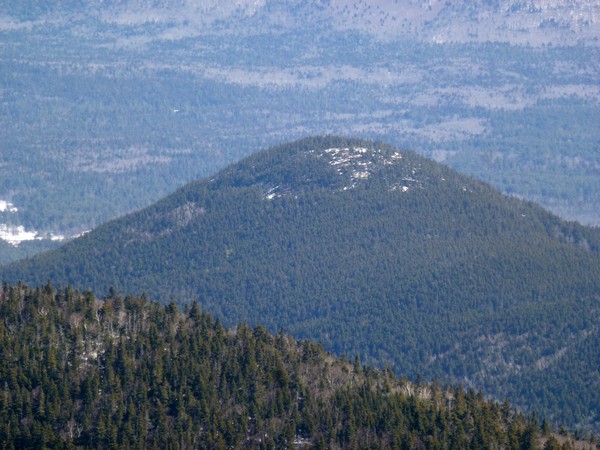
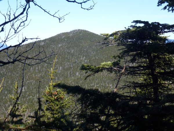
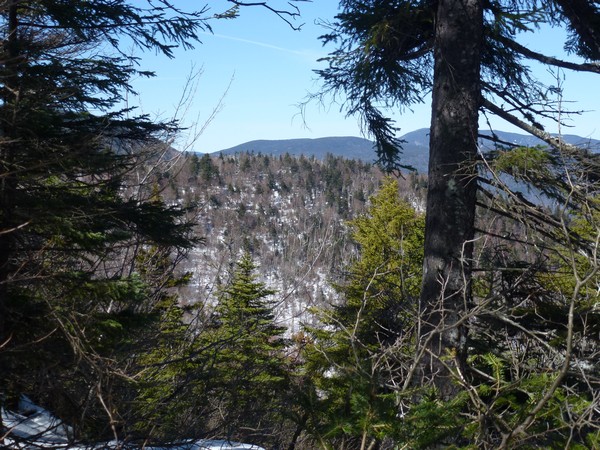
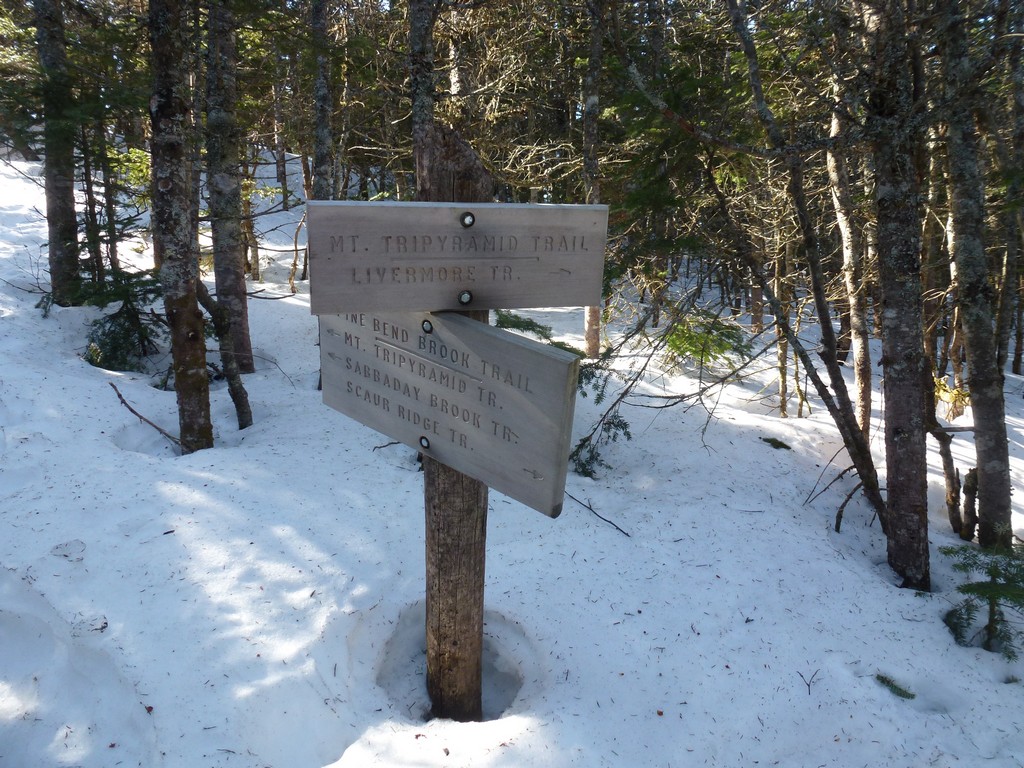
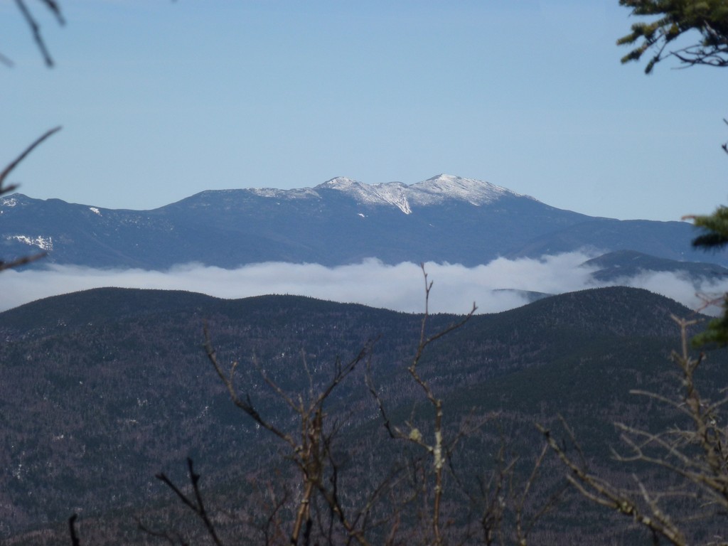
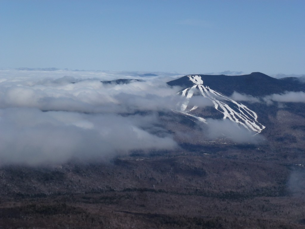
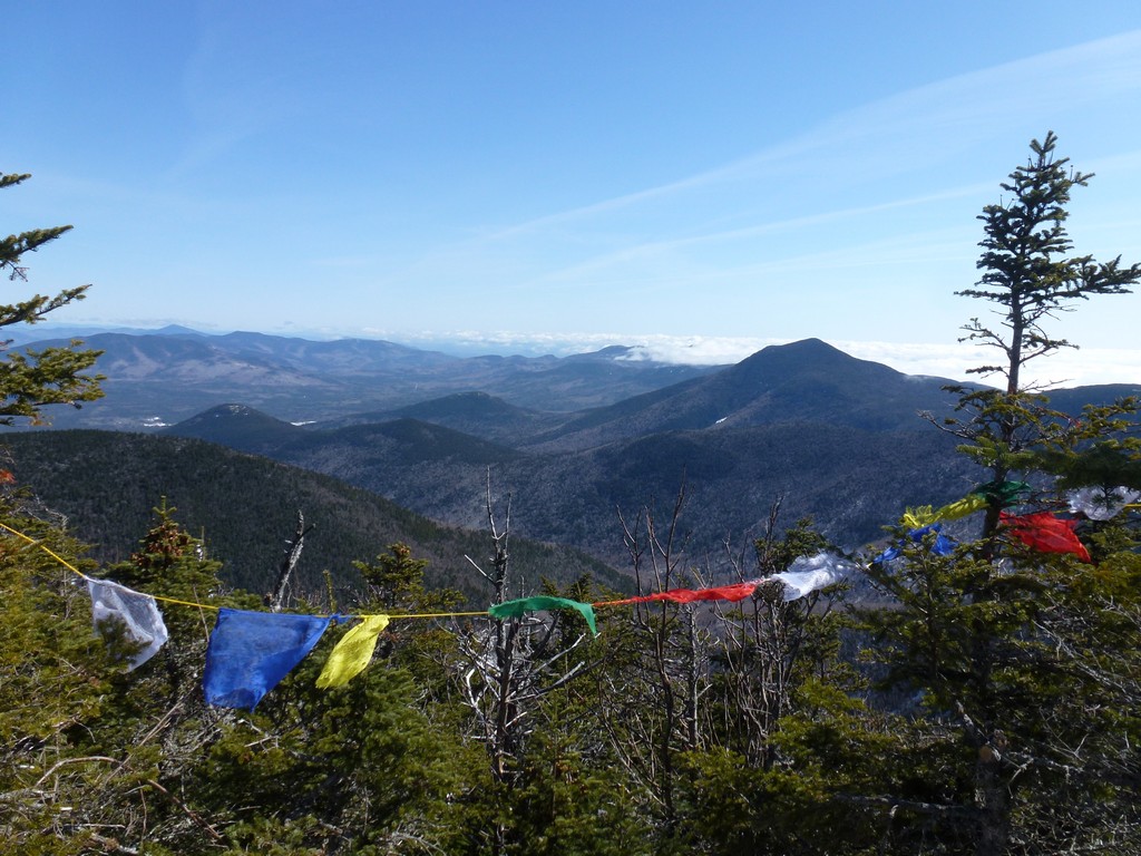
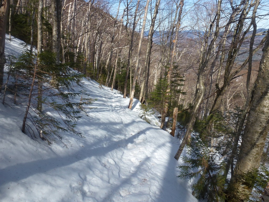
It took about 15 minutes to reach the junction with the Sabbaday Brook Trail and about 20 more minutes to get to the middle peak. There was a very nice overlook off to the right side of the trail right before middle peak and there were some amazing views of Waterville Valley from there.
|
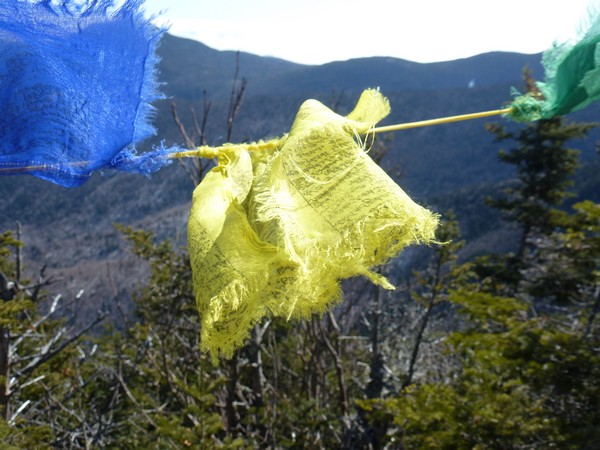
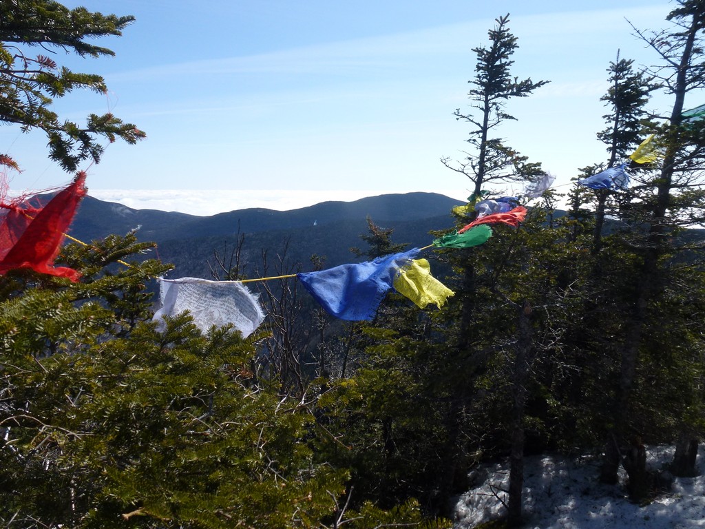
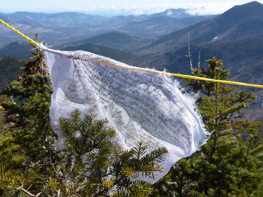
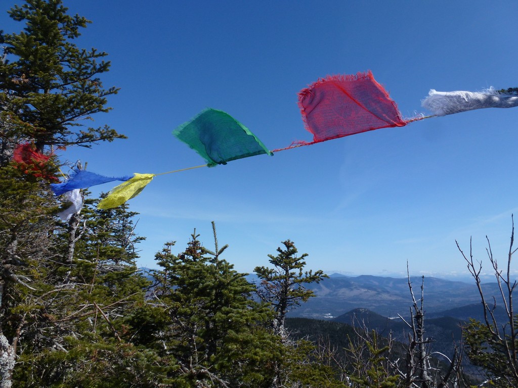
As I approached middle peak I could see that someone had hung some flags from the trees and at first I thought it was just leftover trash from someone's party. When I got closer I could see that the little flags actually had some kind of writing on them though and that they were Tibetean prayer flags. They were very colorful and looked pretty blowing in the wind even if they did obstruct the view from that side a little.
It really was a beautiful day up there and the temperature had to be close to 50°F. There was really no place to sit at the middle peak but I had noticed some bare rock at the other overlook a little lower down so I decided to go back there and have my lunch.
|
Another hiker showed up just as I was finishing lunch. He had snowshoes on and they looked like good ones. Smart man. I really was not looking forward to the descent in the soft, wet, mushy snow which was likely going to be even more soft, wet, and mushy later in the day with warm temperatures and the sun beating down.
|
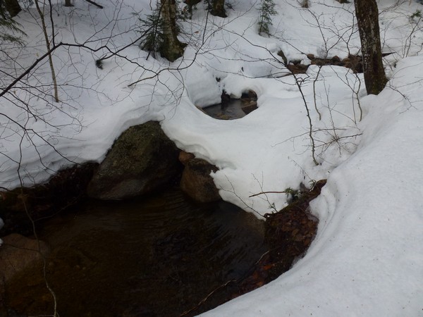
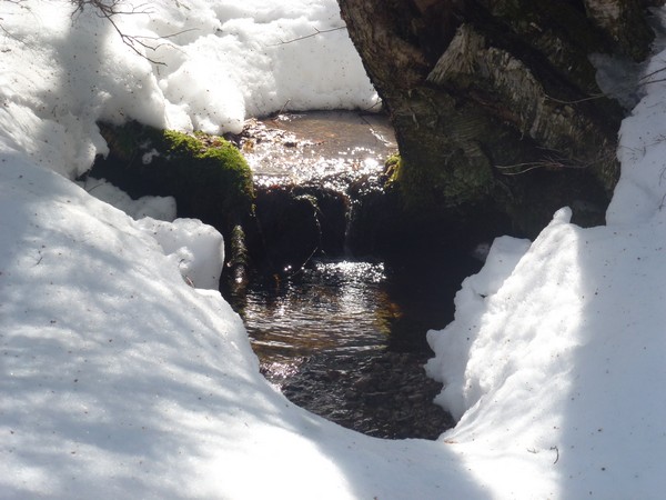
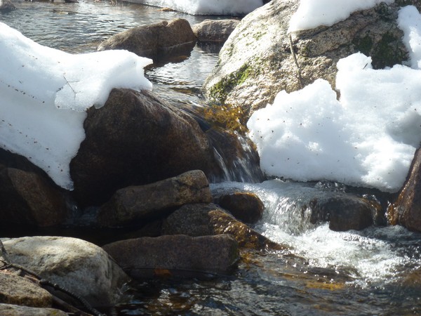
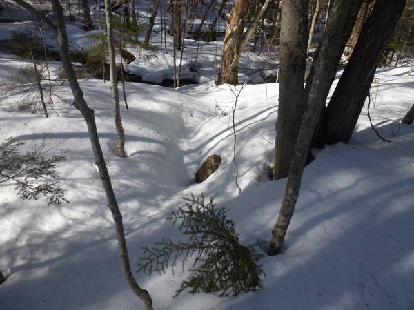
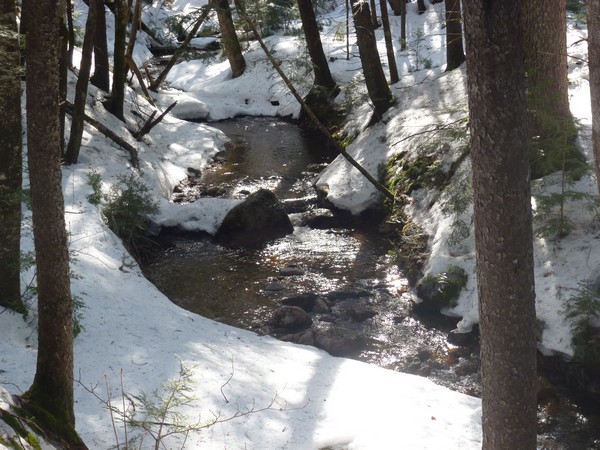
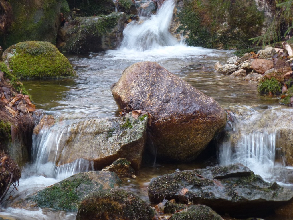
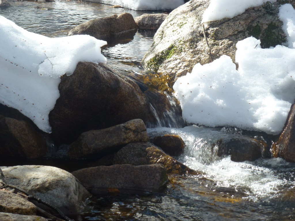
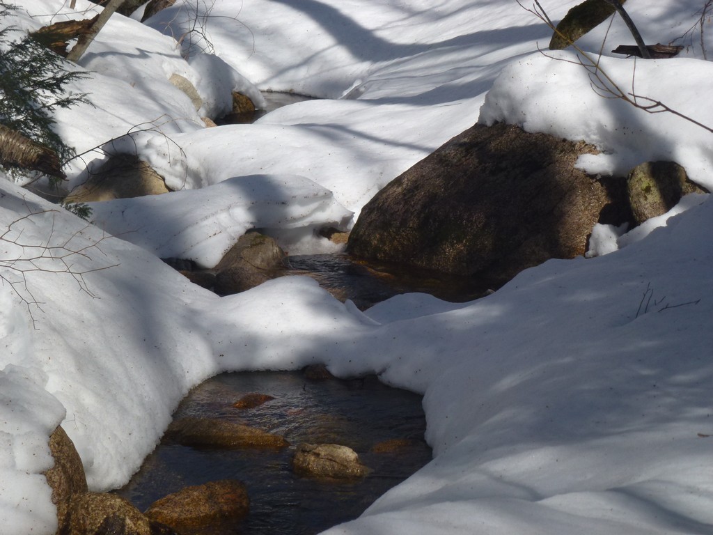
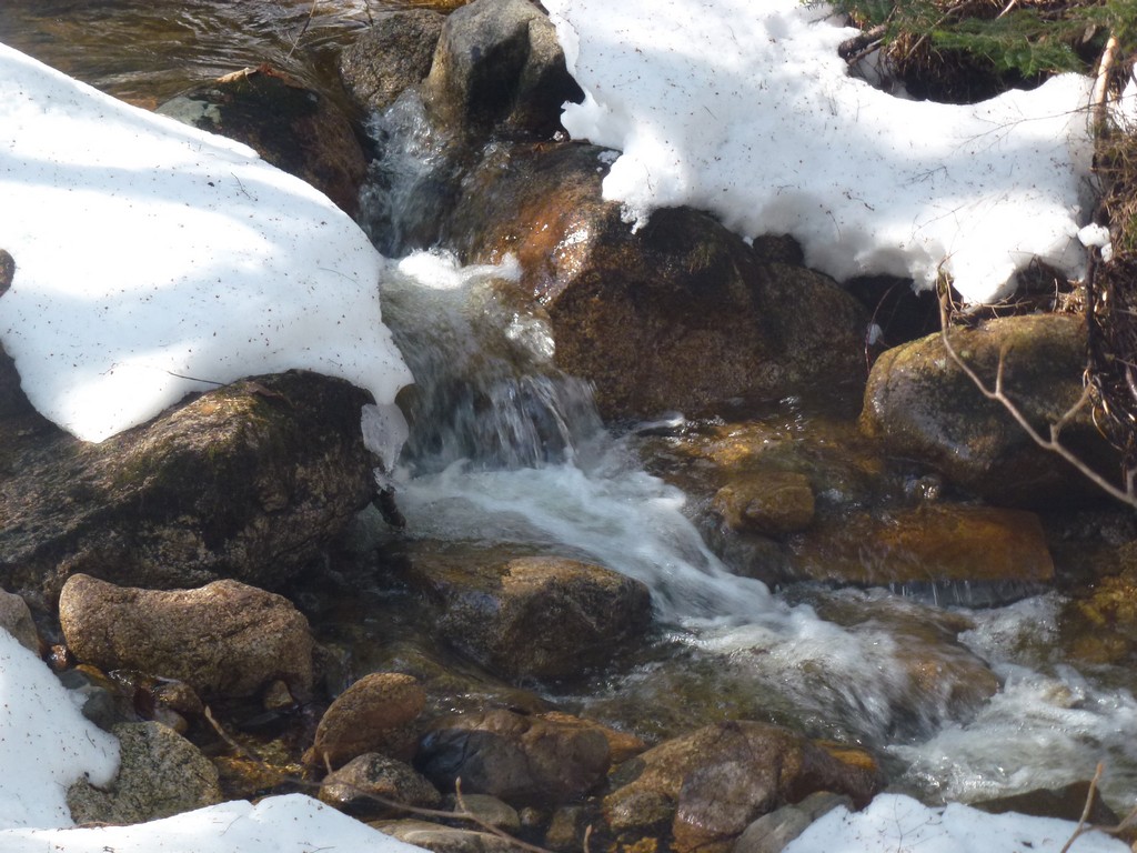
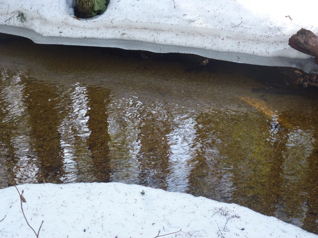
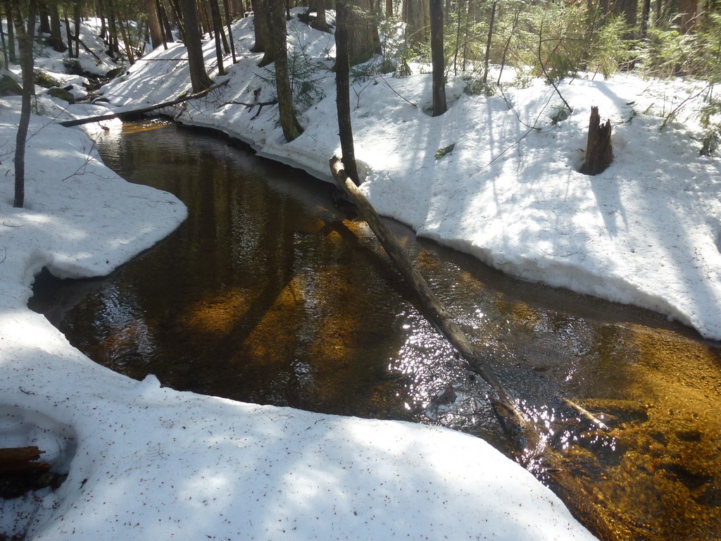
The conditions had not changed drastically on the ridge yet and the steep section was not as bad as I had expected. I could still sort of run and slide and the microspikes gave me enough traction to keep from sliding too far and I didn't slide off of the trail... too much. It was a little tiring though and when I found some more bare rock at one of the crossing of Pine Bend Brook I decided to stop for a while and have a little break. It was a beautiful place for a rest and the mostly clear brook bed was starting to look a little like summer.
|
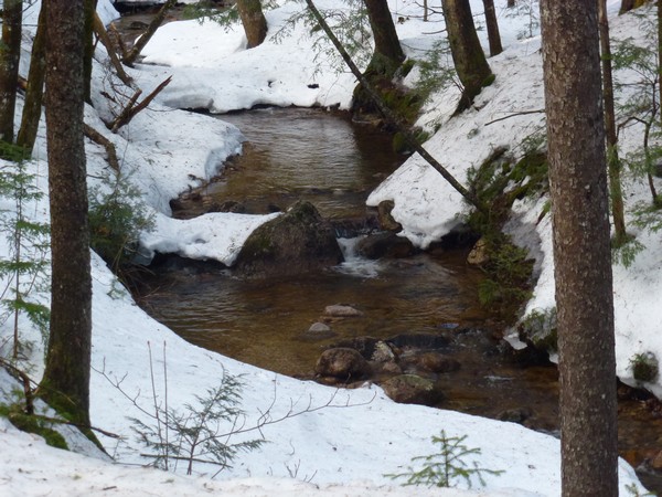
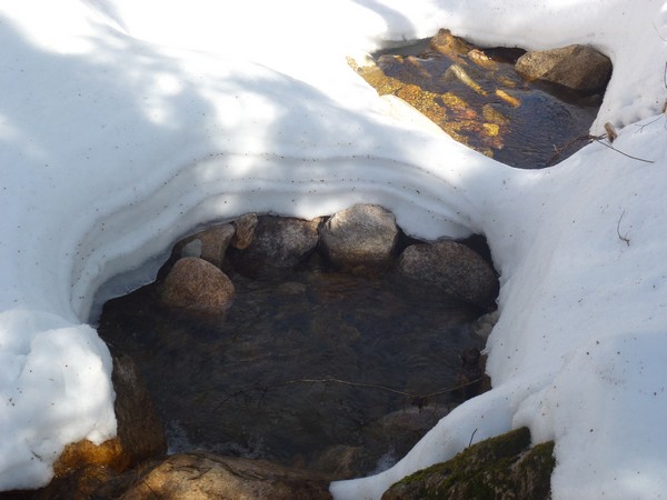
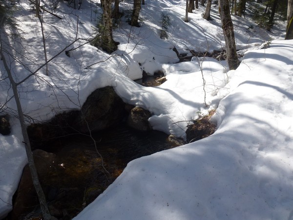
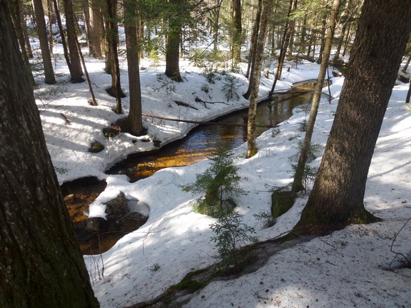
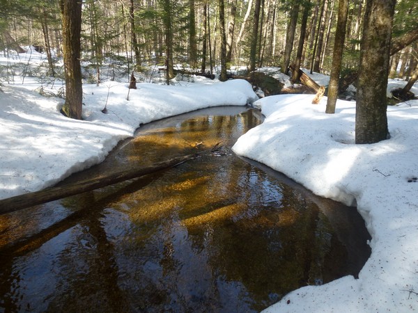
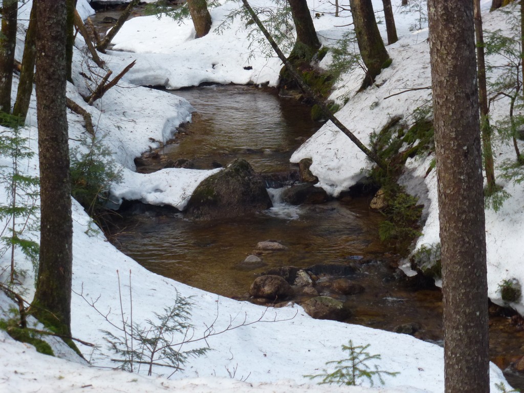
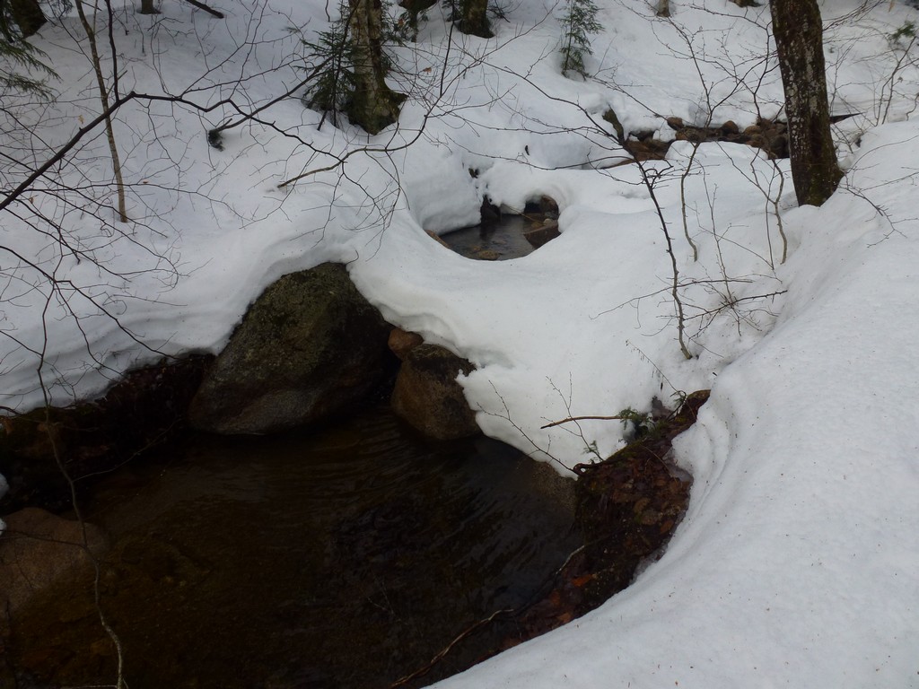
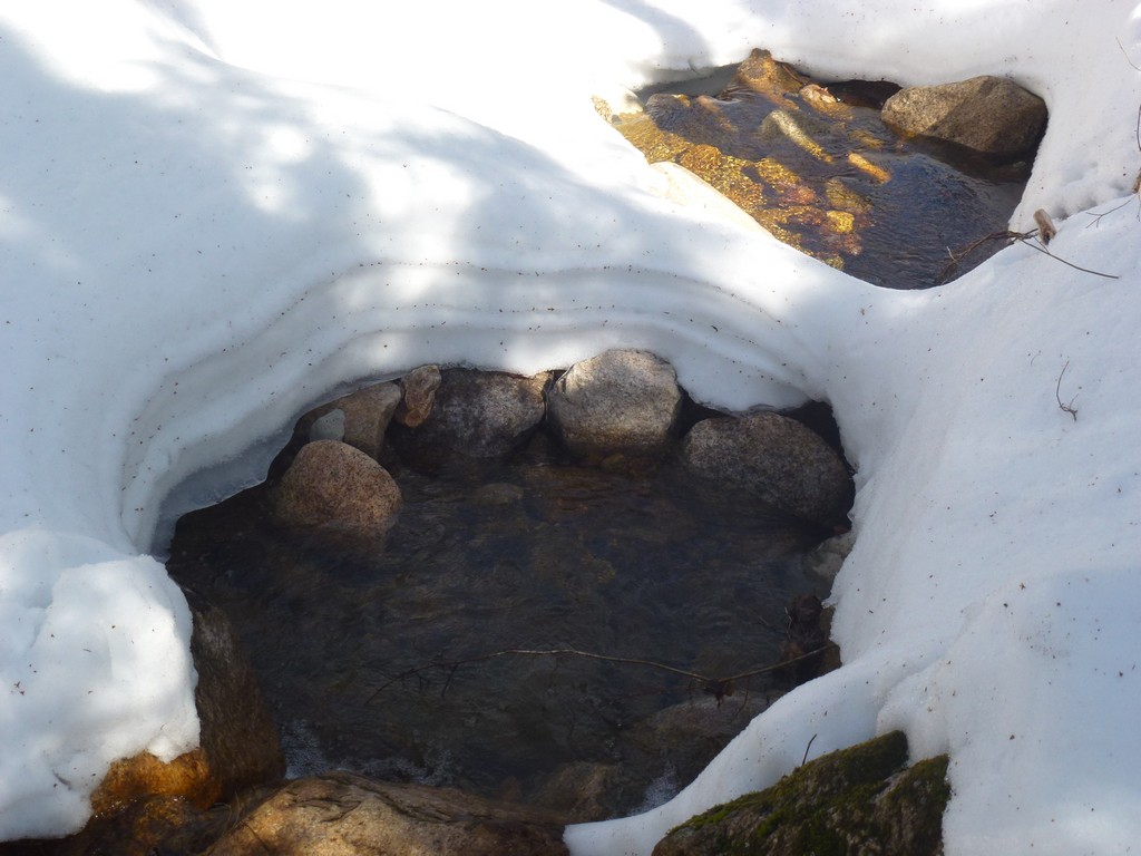
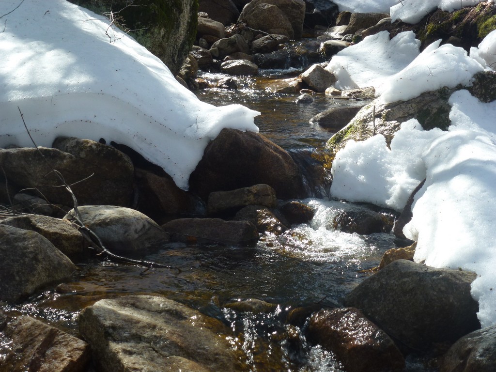
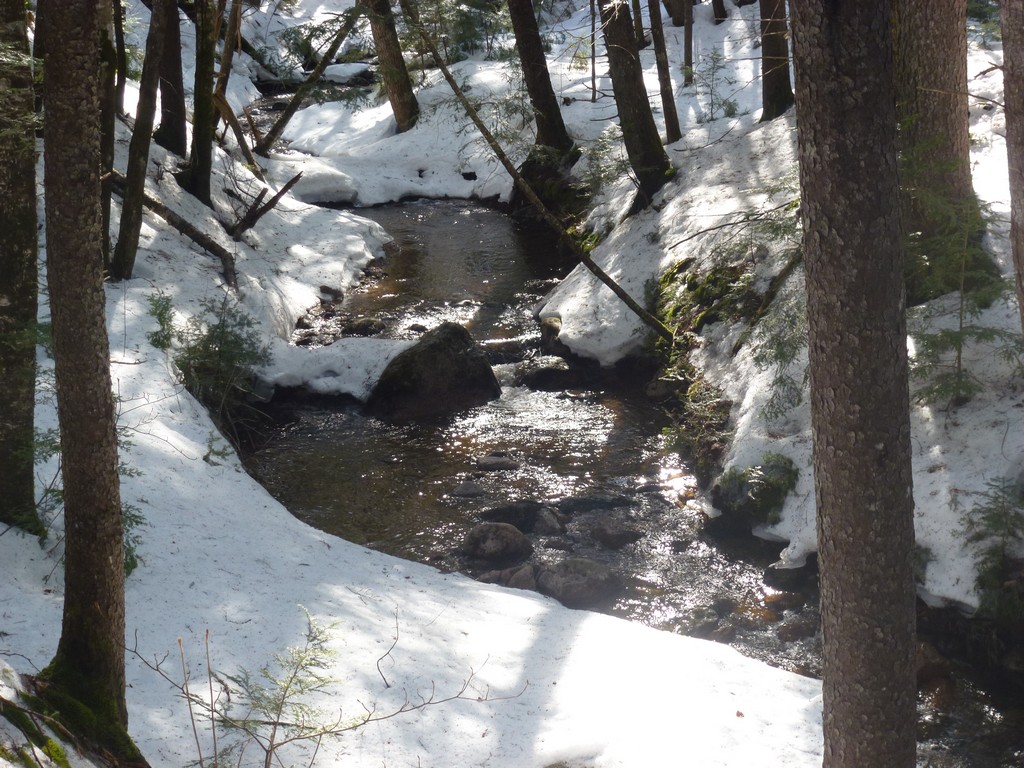
I found a very pretty section of Pine Bend Brook very close to the end of the trail. It was wide and shallow and not very fast moving. A little dam further down had created a shallow pond and the snow that remained on either side made for a most picturesque setting. I actually trudged through the soft snow to get closer and get some nice photos.
|
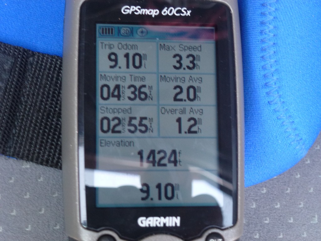
It was already well after 3pm by the time I got back to the highway and the car. I was already sure that there would be no other hike today. I was tired and my boots were thoroughly soaked from all of the wet snow and the slipping and sliding. I was a little upset as I had been hoping to get halfway through my winter 4000-footer list in the first year but I guess I would have to setting for 22 peaks instead of 24. That still isn't so bad considering it only took me 9 weeks to do it.
|
|
|---|
|
|---|


