|
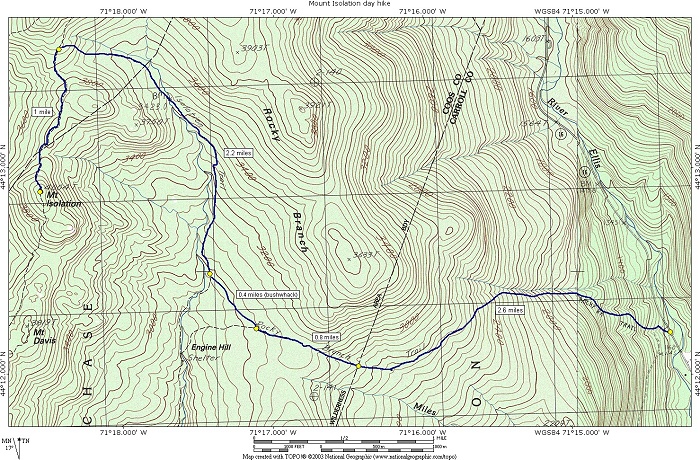
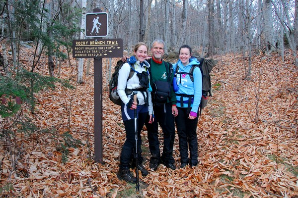
Mount Isolation day hike |
|---|
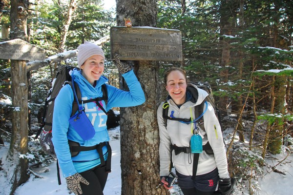
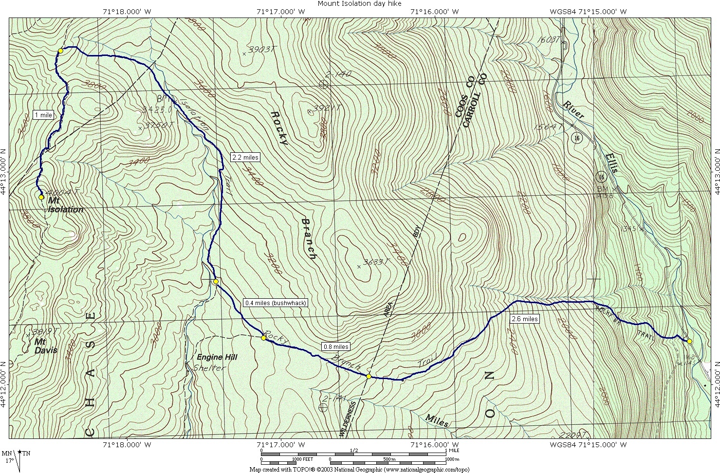
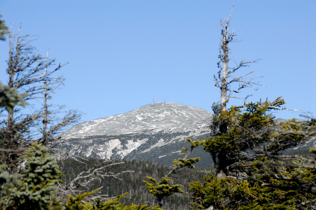
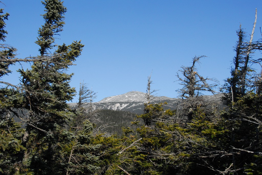
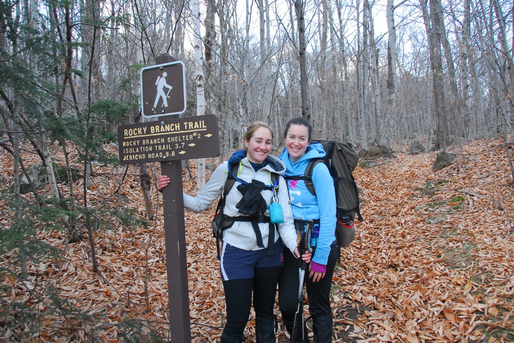
This day hike involved hiking the Rocky Branch Trail to a point about 0.5 miles east of Rocky Branch shelter #2. From there we did a bushwhack to the northwest to meet up with the Isolation Trail about 0.5 miles north of same, saving about 0.6 miles each way. We took the Isolation Trail to the Davis Path and that to the summit of Mount Isolation. We return via the same route.
|
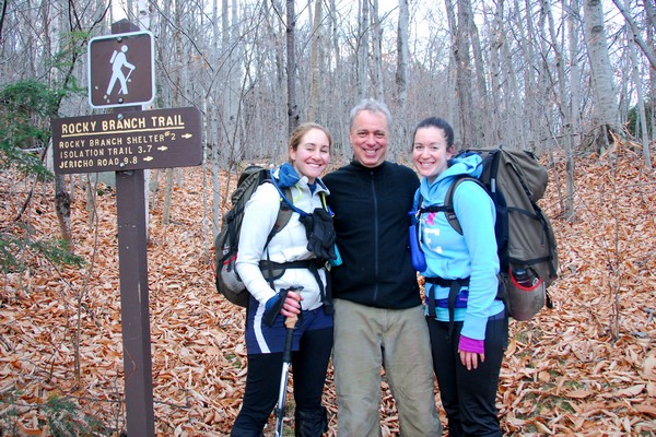
The starting point for this hike was the parking area for the Rock Branch Trail off of NH Rt. 16 about 5½ miles north of Jackson.
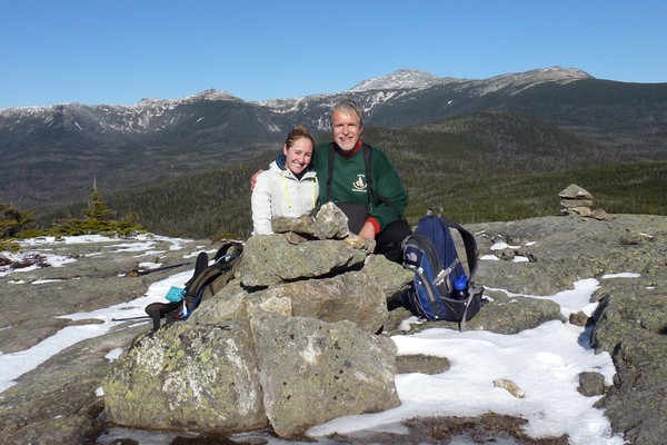
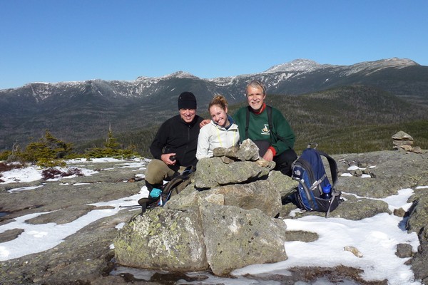
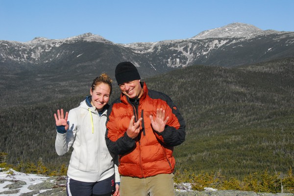
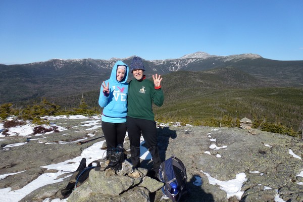
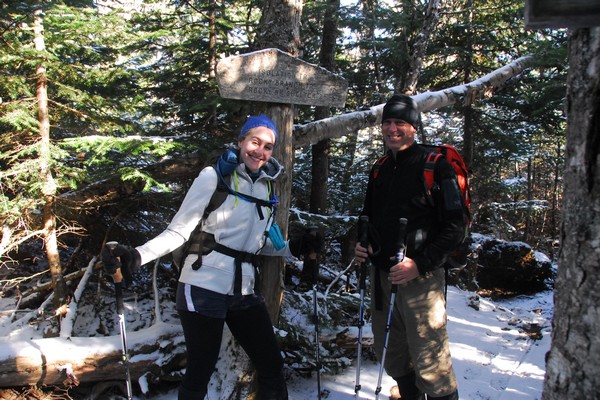
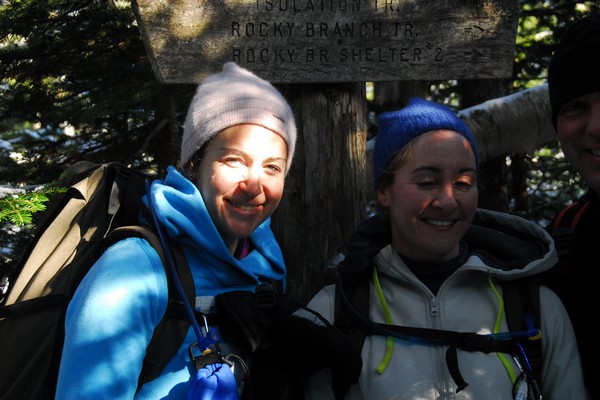
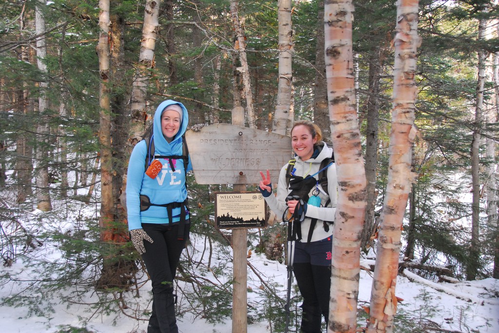
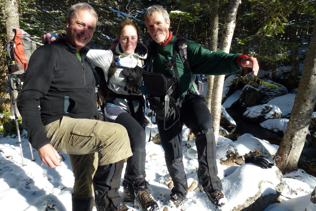
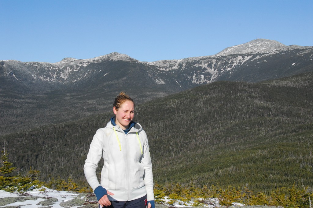
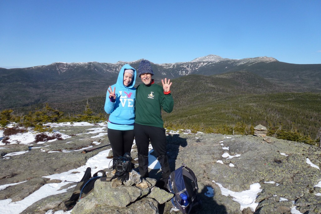
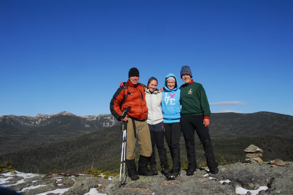
The purpose of this hike was for Pam to claim peak number 47 on her White Mountain 4000-footer list and for Katie to claim peak number 34.
I honestly had some serious misgivings going into this one. Pam and Katie had already made one attempt at Mount Isolation about a month prior using this route and it was not successful. They made it about 2 miles in on the Rocky Branch Trail and then Pam had twisted her ankle badly and they had to abort. Portions of the trail had been closed at the time because of damage caused by tropical storm Irene and they said that the trail had been washed out and it looked like a river was flowing down it now. I didn't see how these conditions could have improved much in a month and it was unlikely that any work had been done this late in the season to repair the trail so it did not sound like a lot of fun to me. I had suggested using the Glen Boulder Trail which was the way I went up to Mount Isolation when I made my own ascent back in July 2003 and I thought that was the way we were going. Pam had talked to people who said that it would be a lot easier using Rocky Branch and that's what she wanted to do so that's what we did.
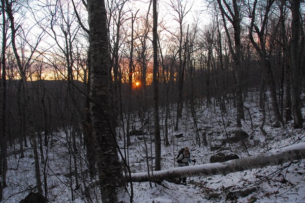
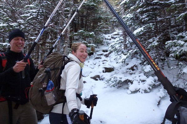
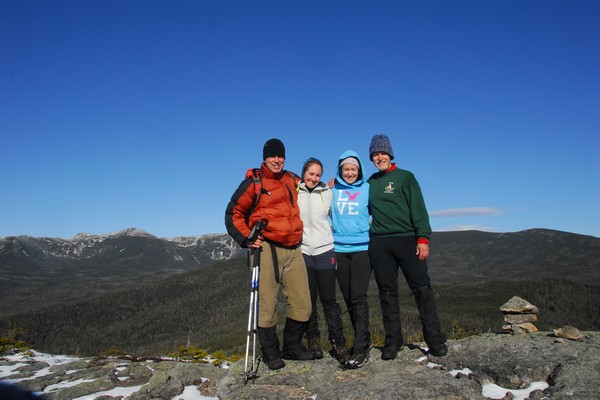
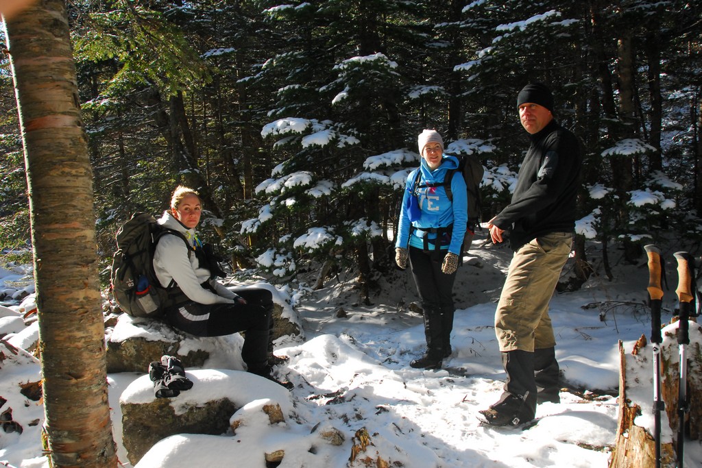
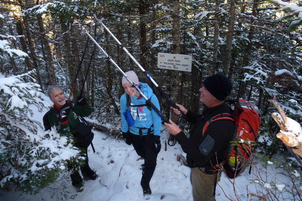
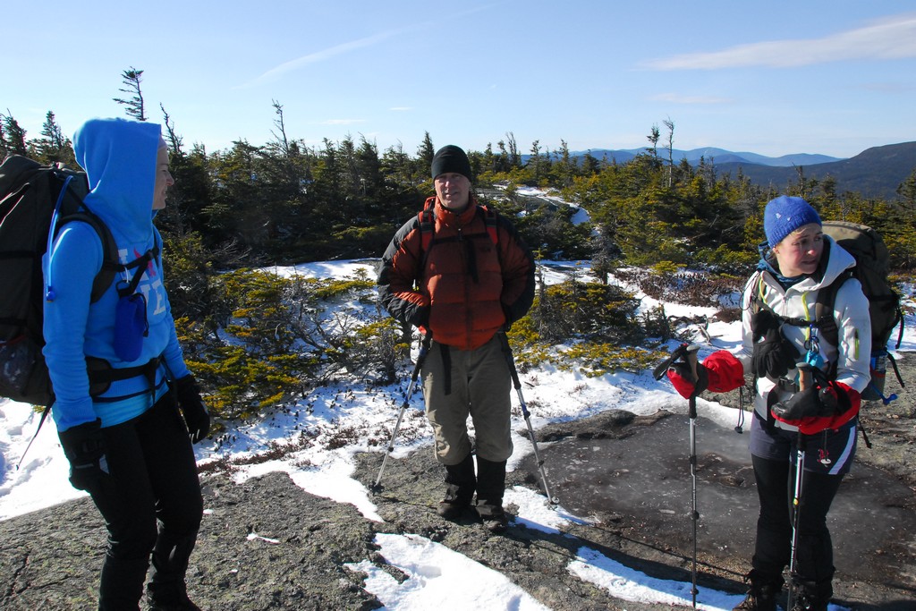
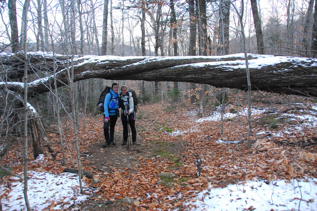
Pam, Katie and I headed up north right after work on Friday and stayed at a motel in Gorham that night hoping for an early start on Saturday morning. I really wanted to get everyone on the trail by 6am and we hit that target pretty close. Robie, the other member from our Owl's Head day hike in October, also met us at the motel on Friday night.
|
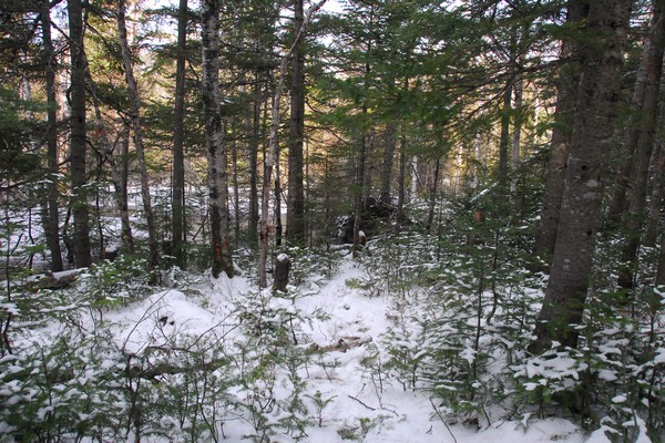
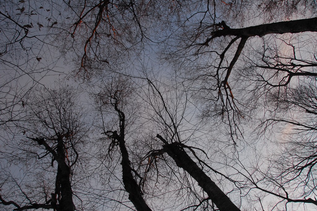
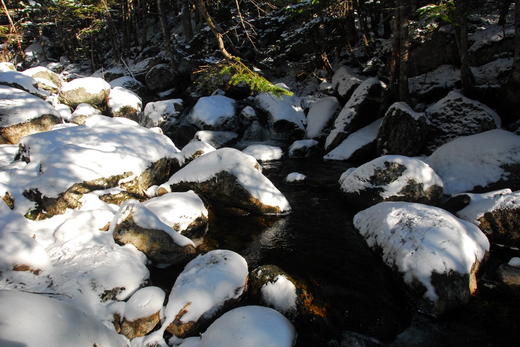
The lower portion of the Rocky Branch Trail did not seem bad at all to me. The trail starts climbing as soon as you leave the parking area and does let up at all until just before you reach the Presidential Range wilderness boundary. It was at that point that I asked Pam when the trail started getting bad when she and Katie did it. She did not recognize the trail we were on and thought that we should have already hit the bad part.
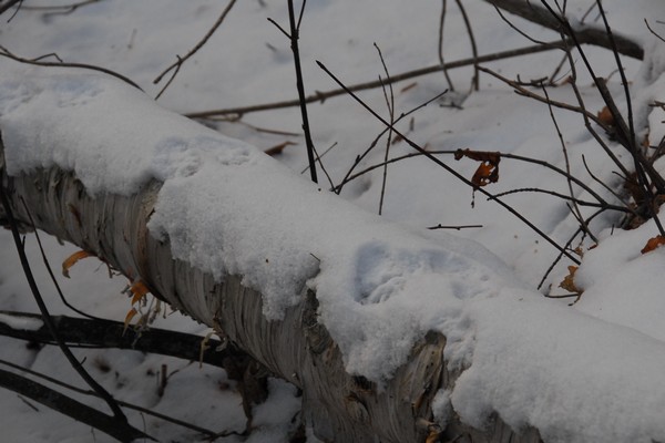
We had crossed a small brook about a mile back and I started to wonder about this as when we had crossed it looked like someone could very easy have missed the trail on the other side and stayed in the brook thinking it was the trail. In my mind I started flipping through some of the "bad trail" photos that Pam had posted on Facebook and they looked a lot like what this brook looked like when we crossed it. I was pretty sure that this was what happened and after that point they were no longer on the trail but rather hiking directly up the brook. At this point I started feeling a lot better about the route we were on because as trails go it really was a pretty good one. I was still a little concerned about the river crossings that we had coming up but at least the trail itself was no longer a concern.
|
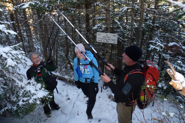
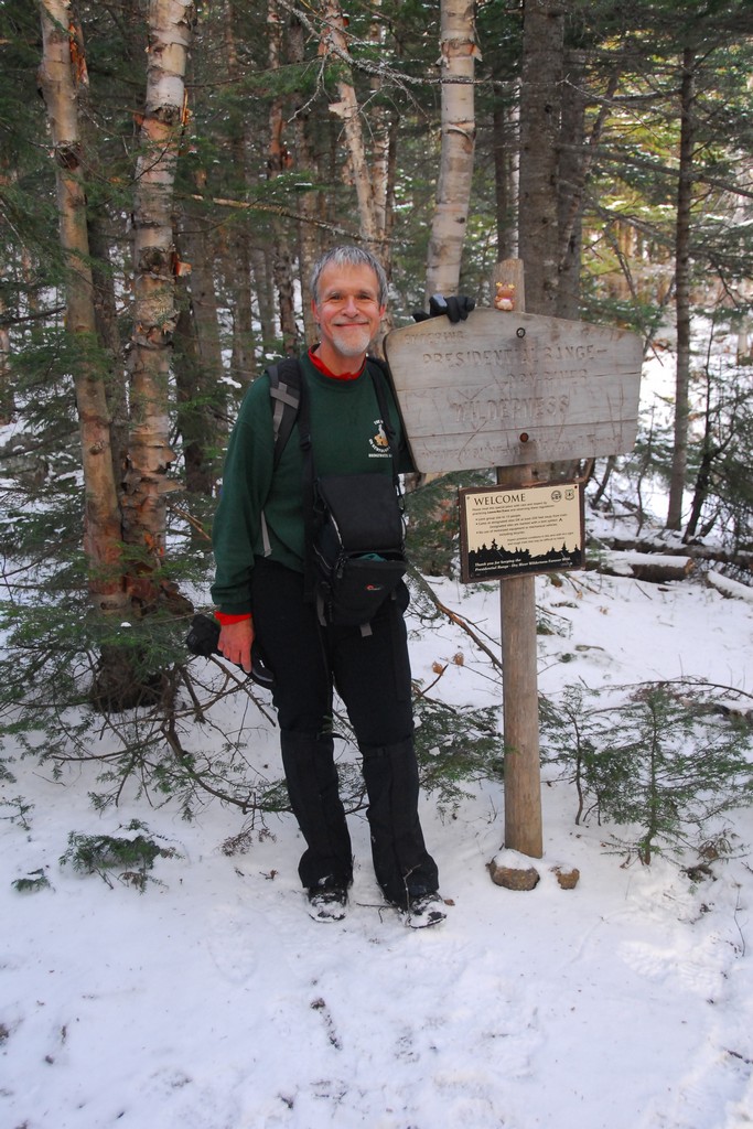
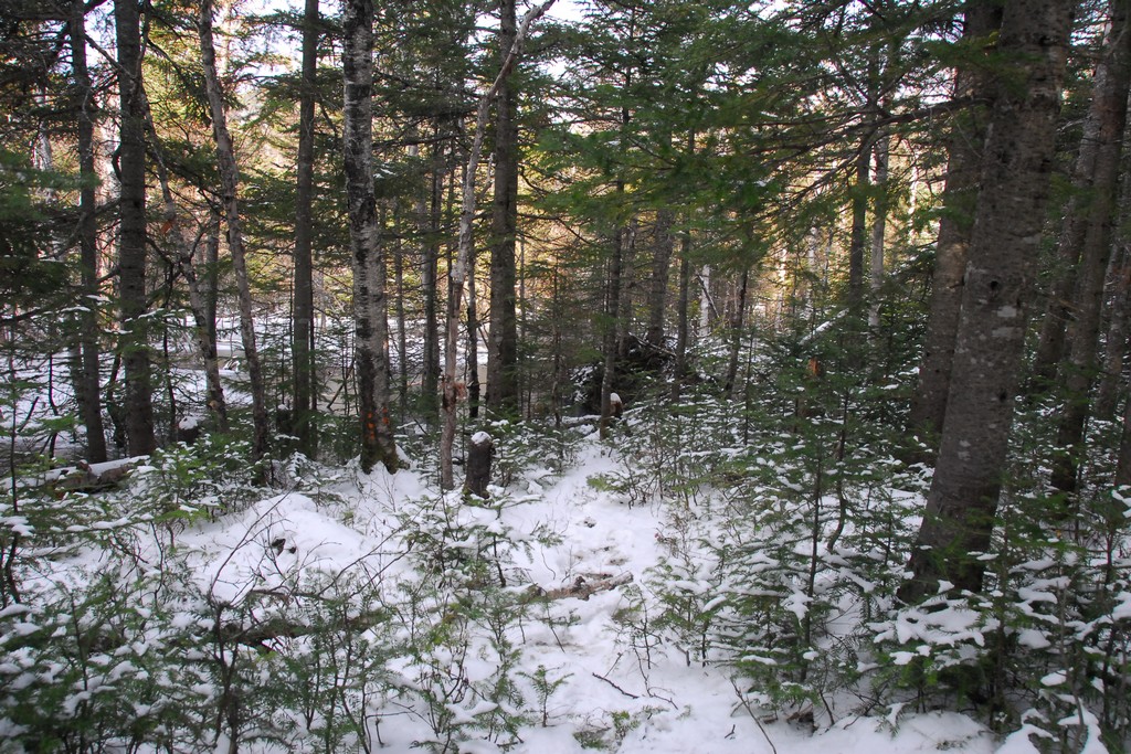
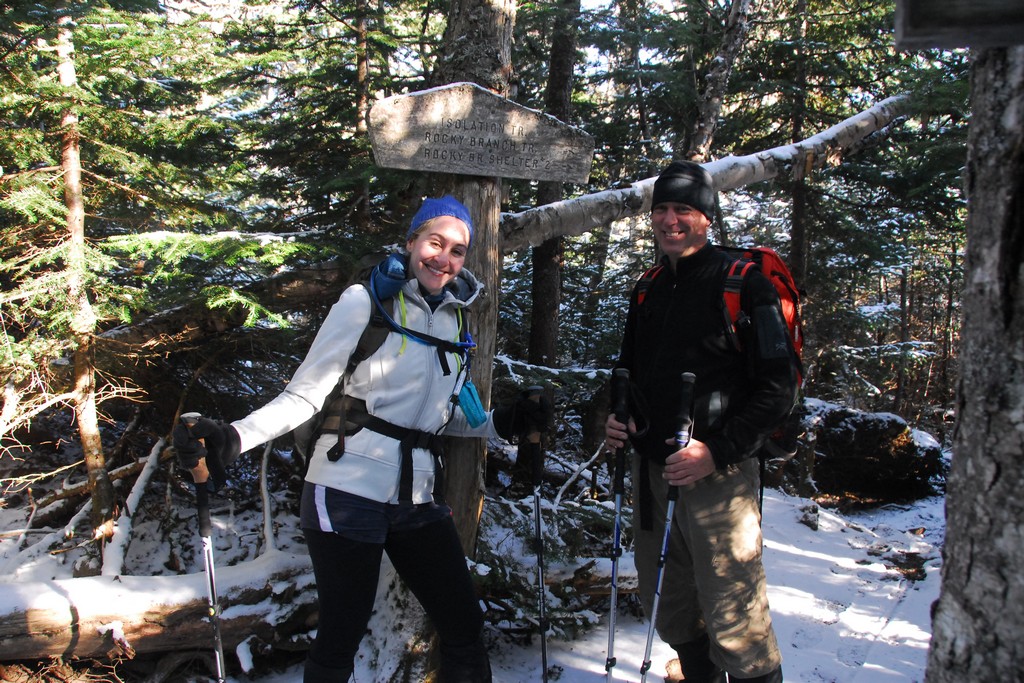
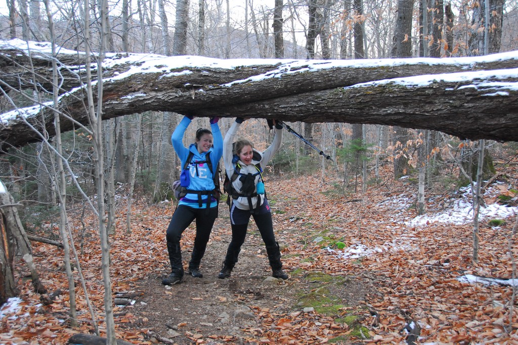
Shortly after we crossed the wilderness boundary we crossed over the top of Rocky Branch Ridge. Once on the other side of that we started a short bushwhack to the northwest, leaving the Rocky Branch Trail and planning to join the Isolation Trail about a half of a mile or more north of where the Rocky Branch and Isolation trails would have intersected. This bushwhack was not that difficult and probably saved us about 0.6 mile each way.
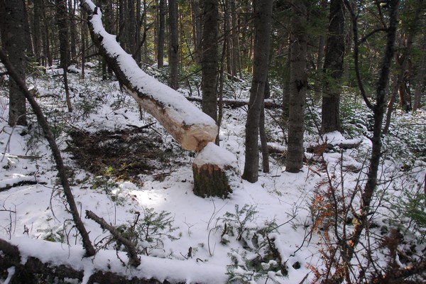
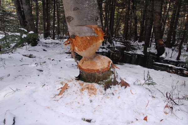
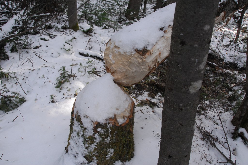
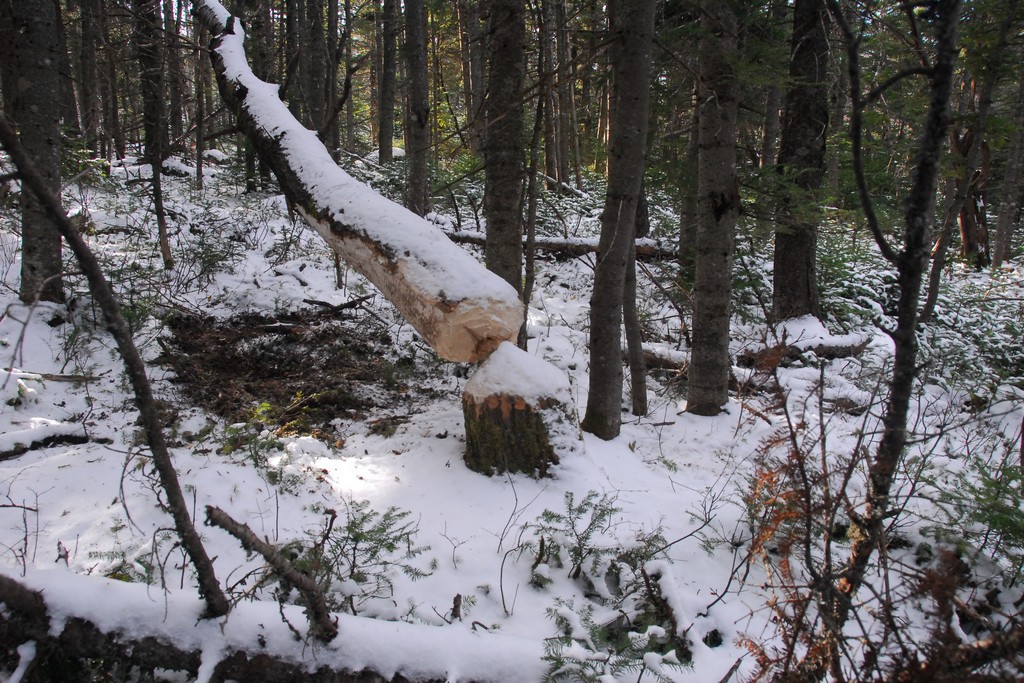
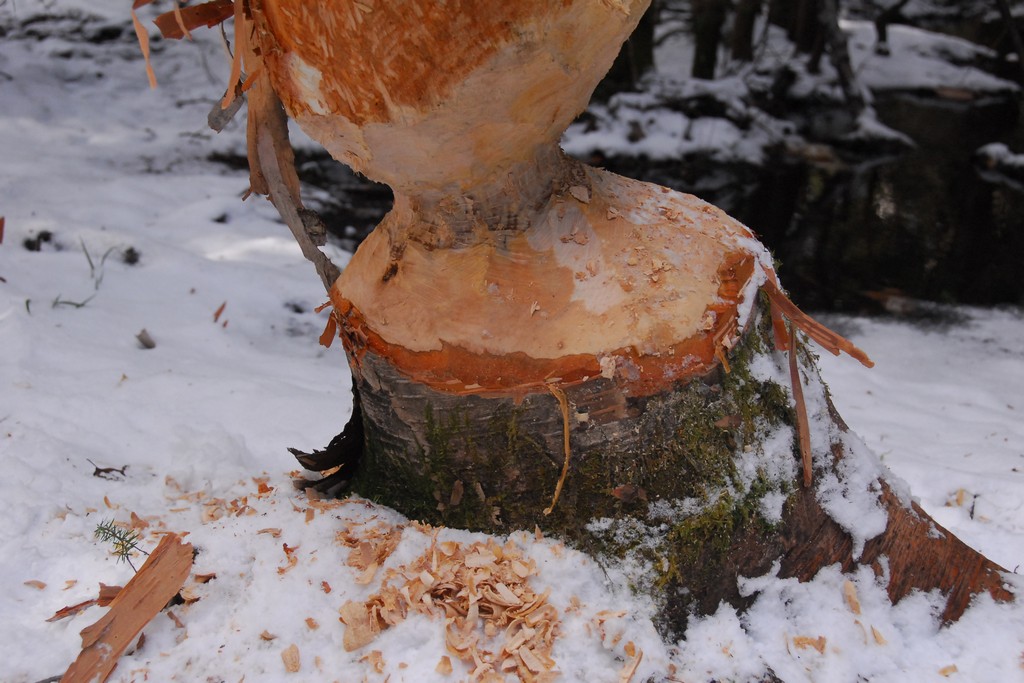
We passed considerable signs of beaver activity on the northern end of the bushwhack and a lot of it looked fresh, almost as if the beaver had just been there and maybe it had heard our approached and scampered away.
|
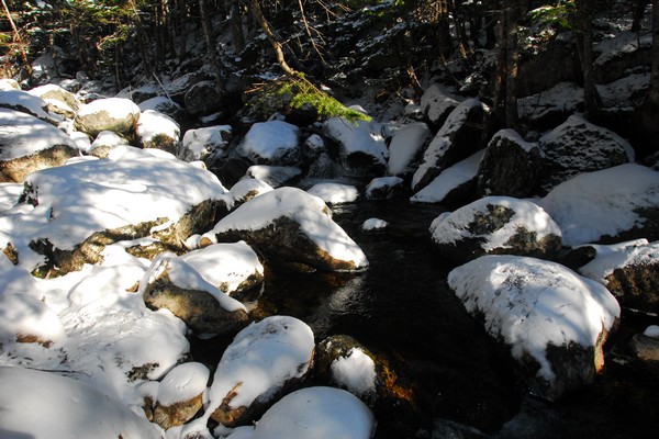
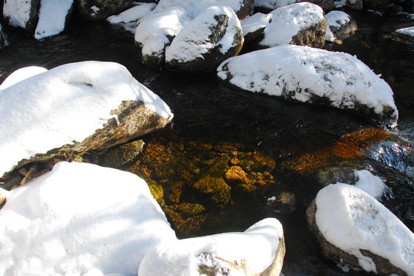
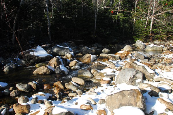
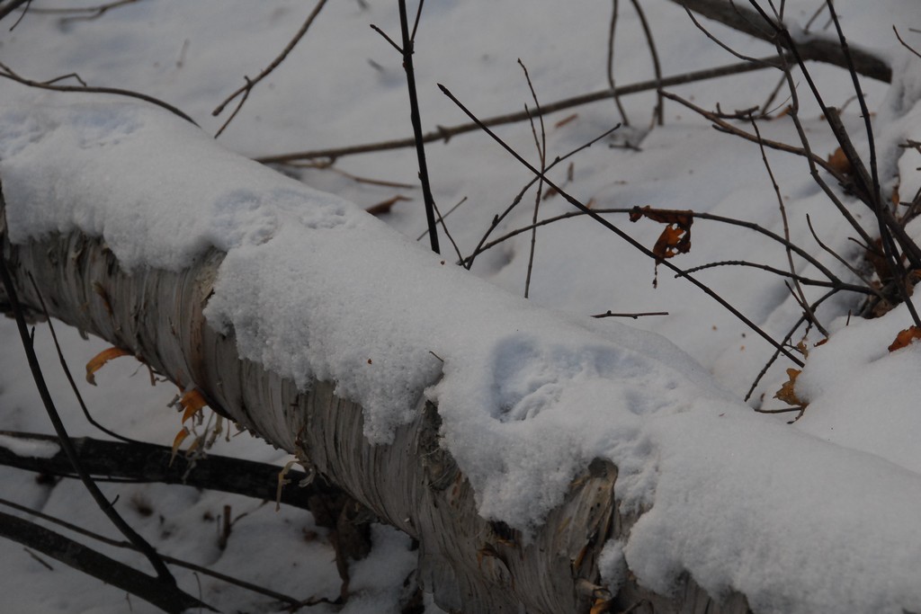
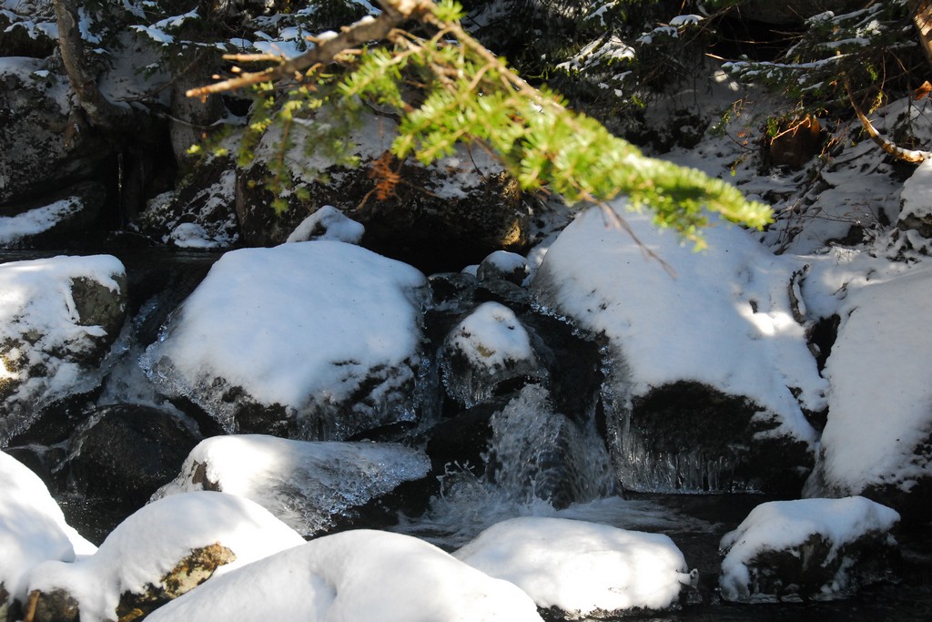
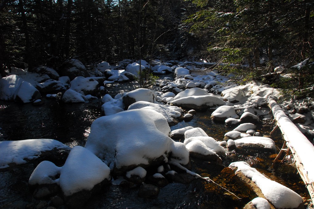
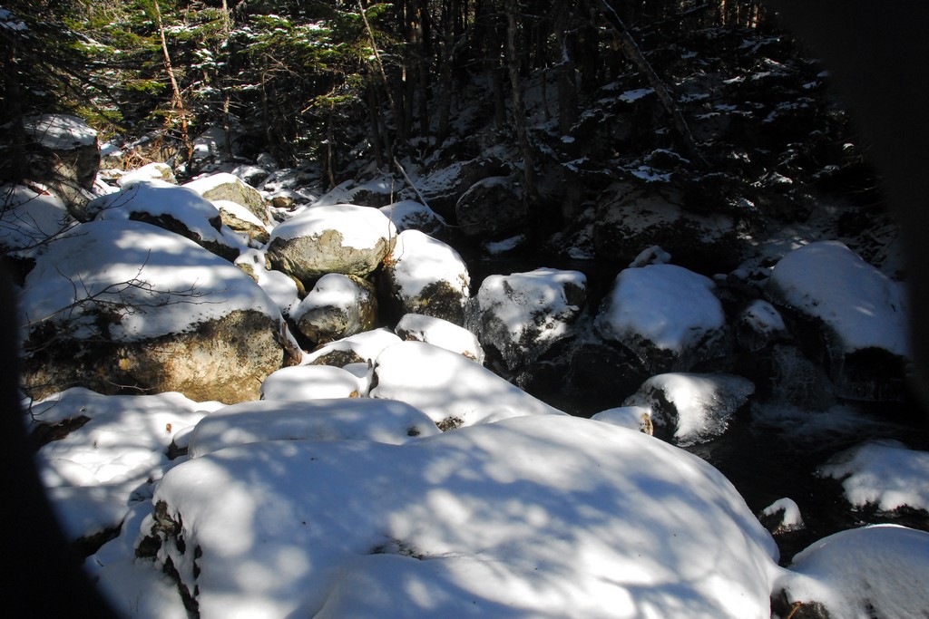
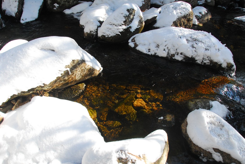
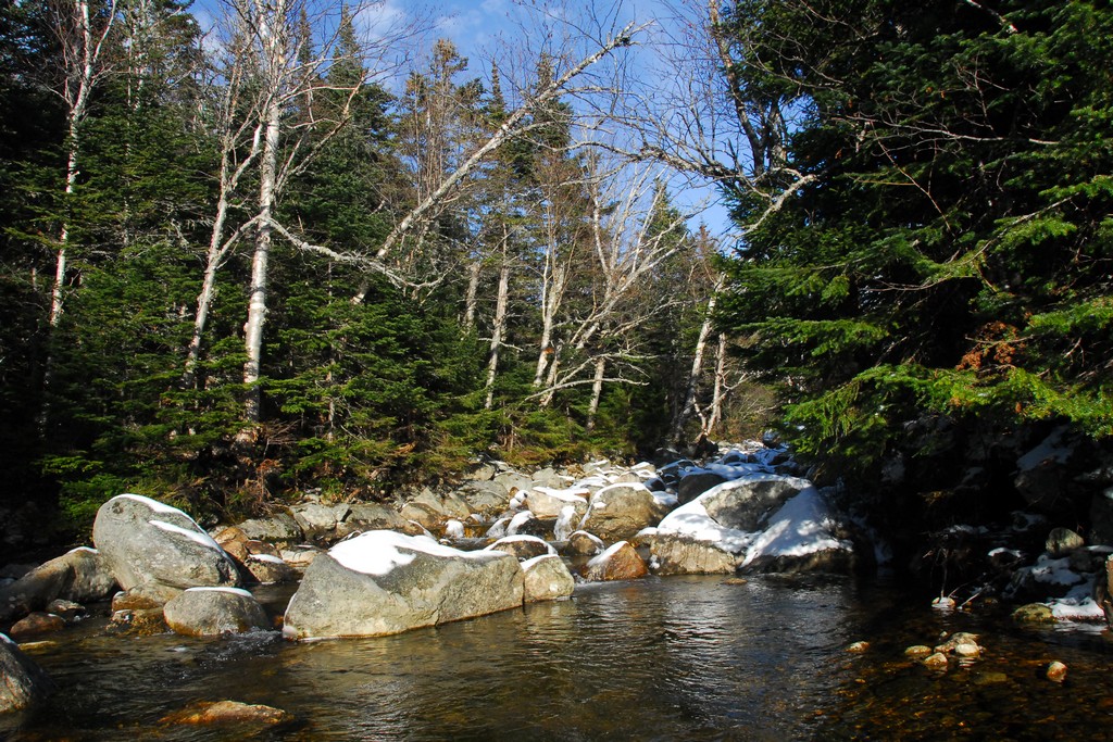
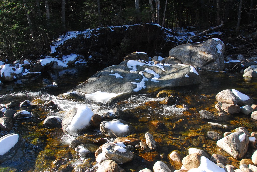
Once on the Isolation Trail we had three crossings of Rocky Branch to deal with. None of these was really that bad and I think we all made it across without getting wet.
|
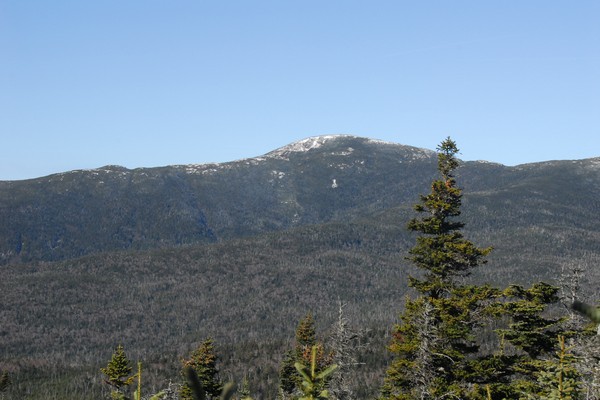
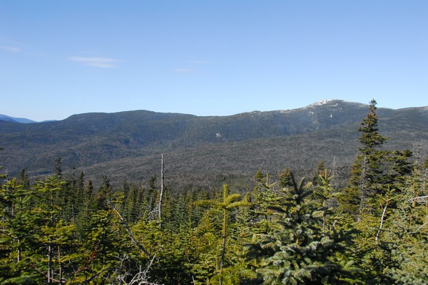
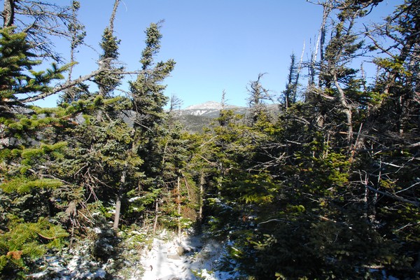
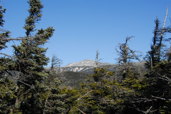
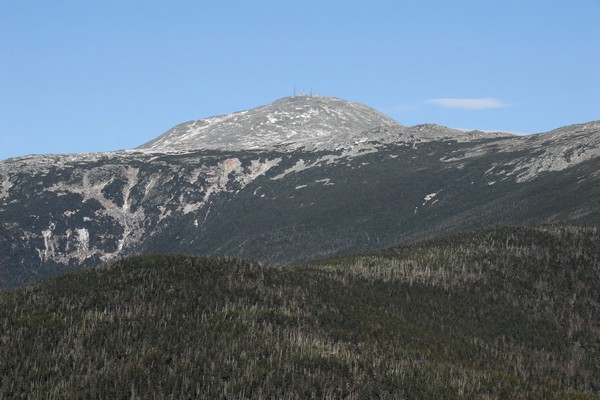
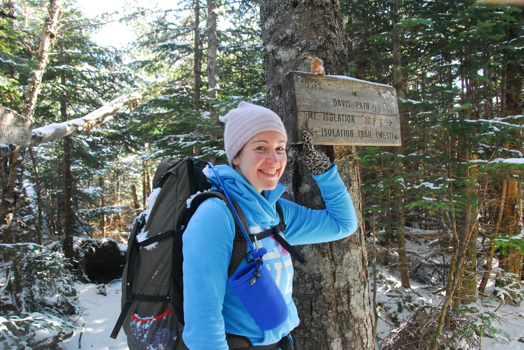
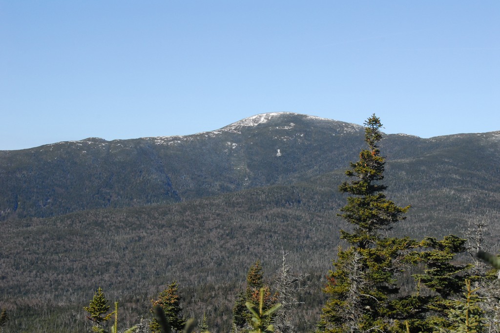
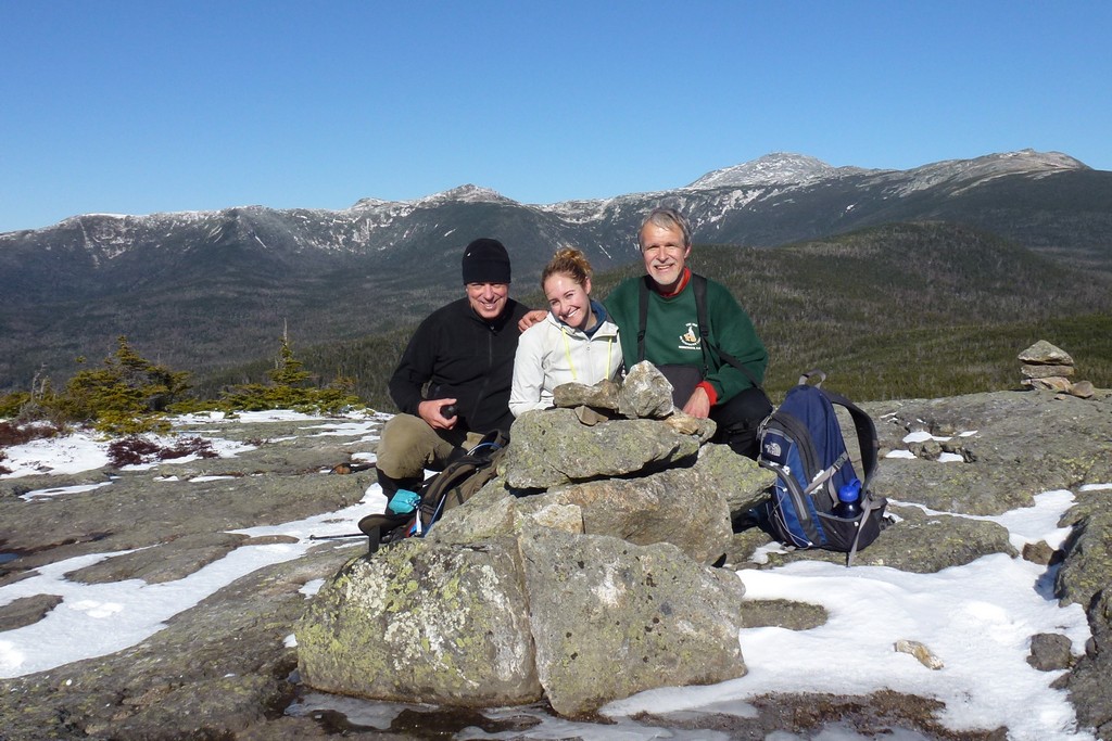
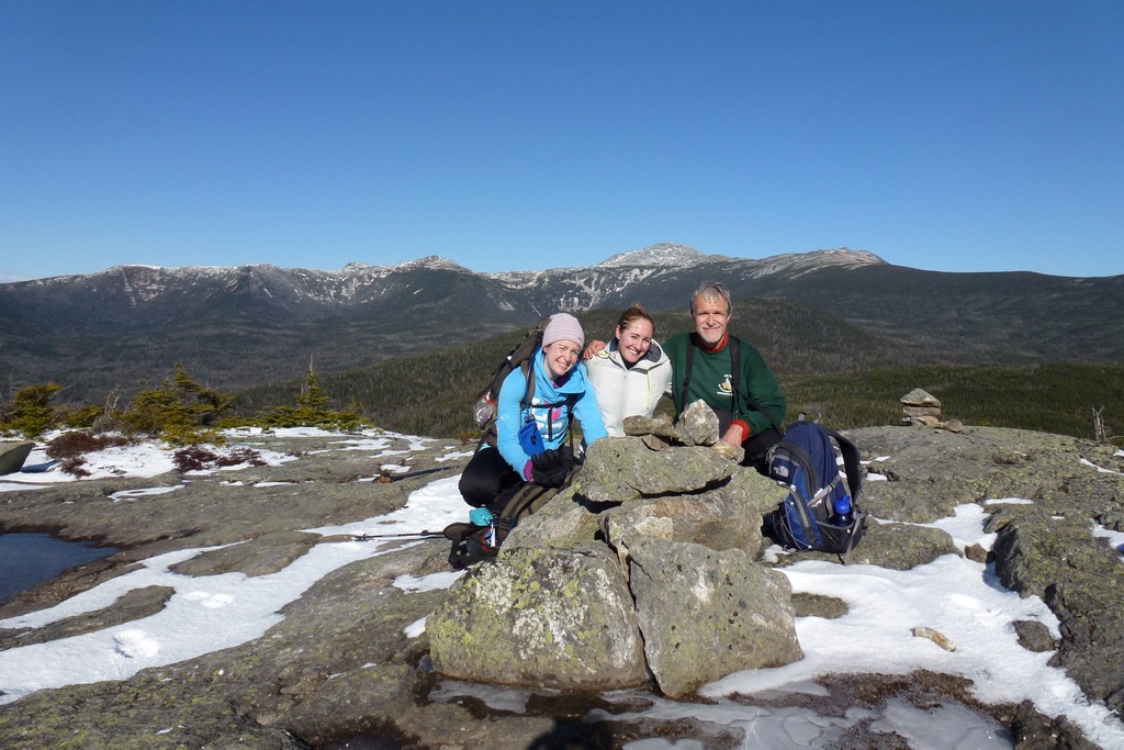
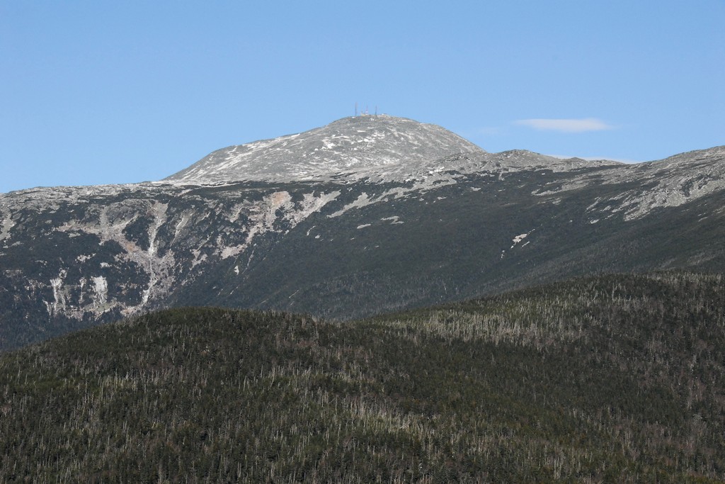
After the last Rocky Branch crossing it took a little less than an hour to make it to the junction with the Davis Path and about a half of an hour after that we were on the summit of Mount Isolation.
|
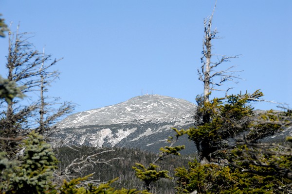
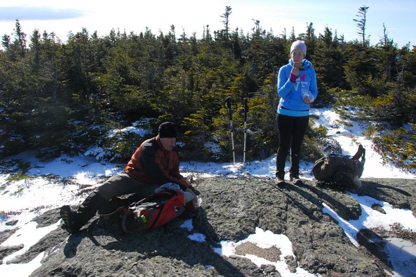
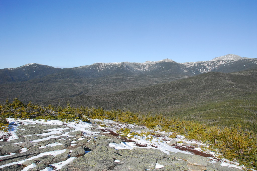
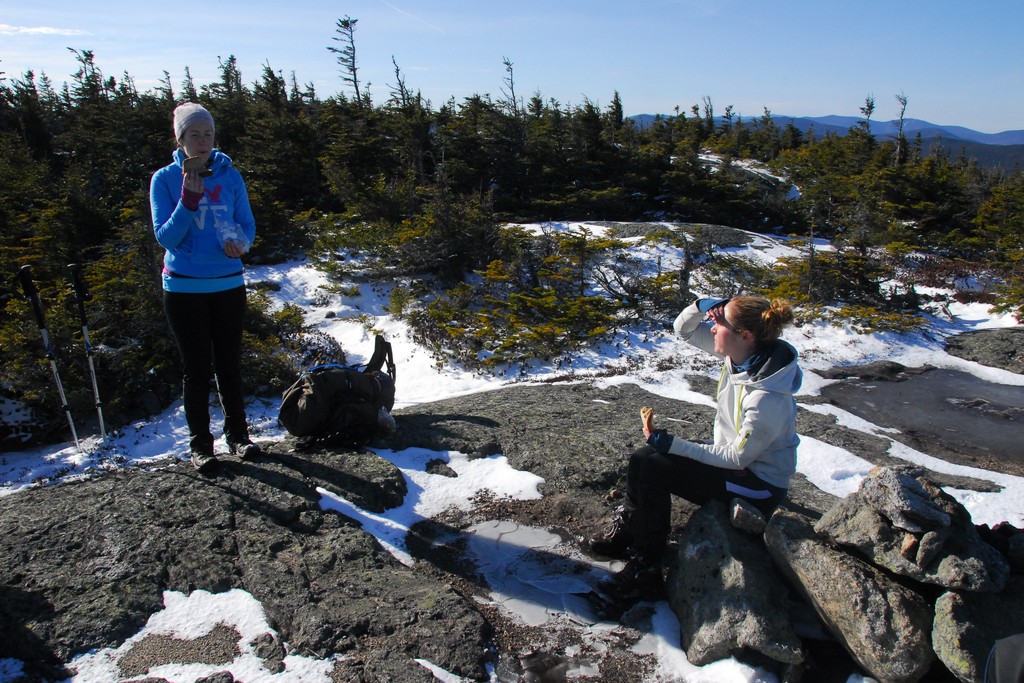
We arrived on the summit a little before 1130 and spent just about a half of an hour up there, having the place to ourselves for the entire time. We never actually saw any other people all day and to me that was pure perfection. Pam said that she heard a group behind us at one point when we wers till on hte Rocky Btranch Trail and we did see tracks from another group when we were on our way back so there were other people out there.
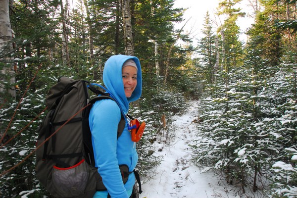
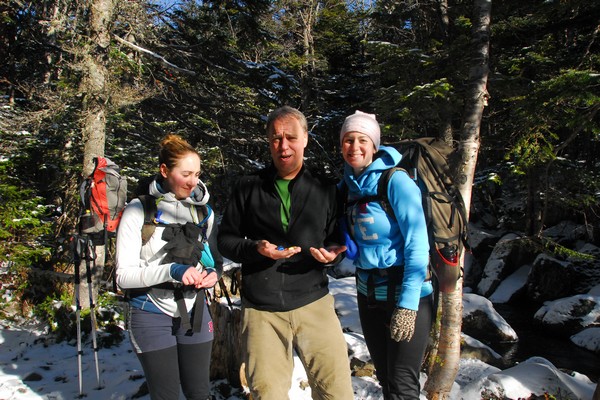
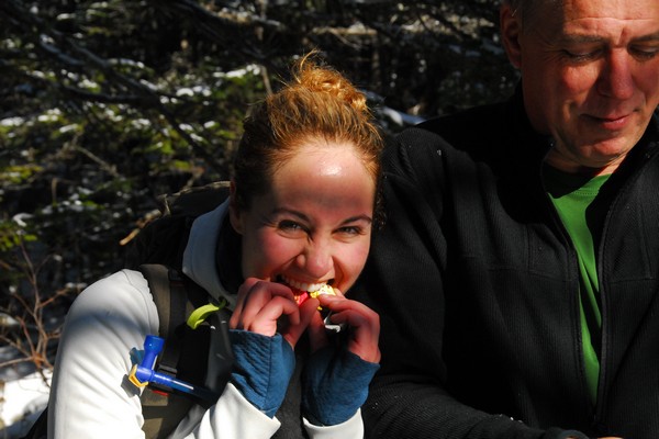
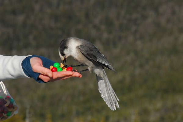
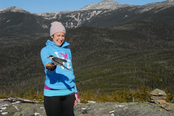
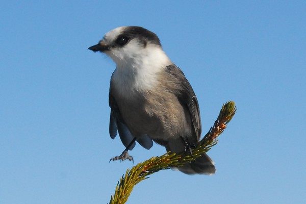
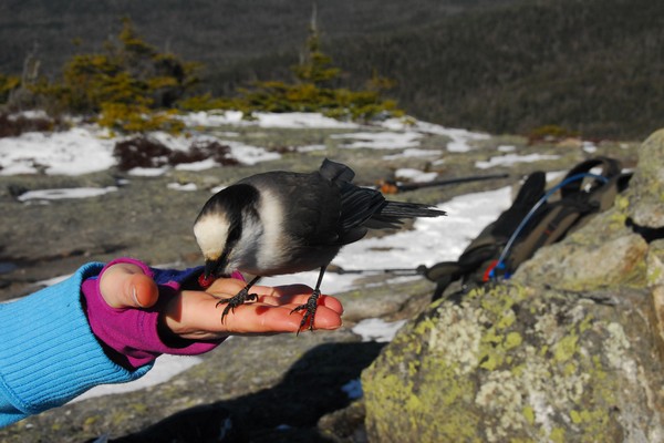
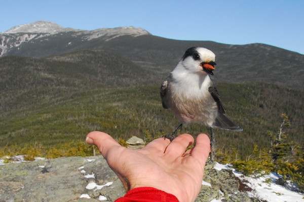
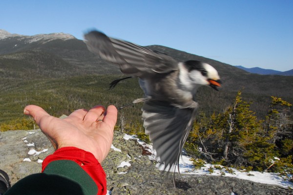
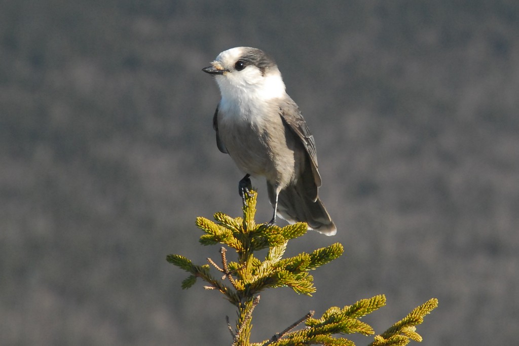
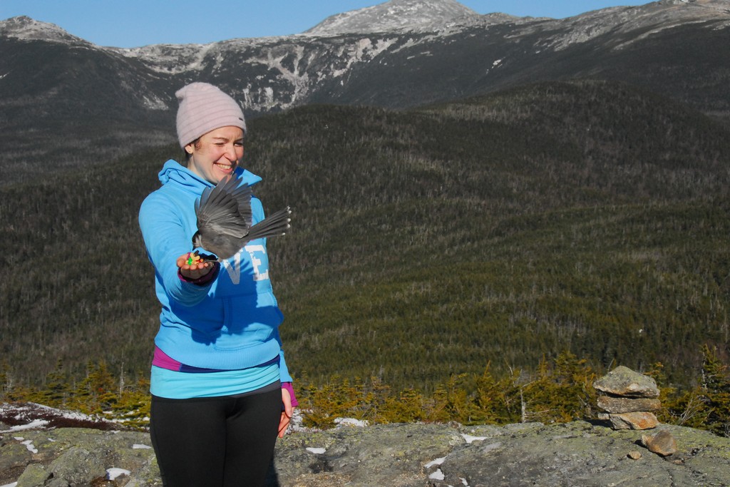
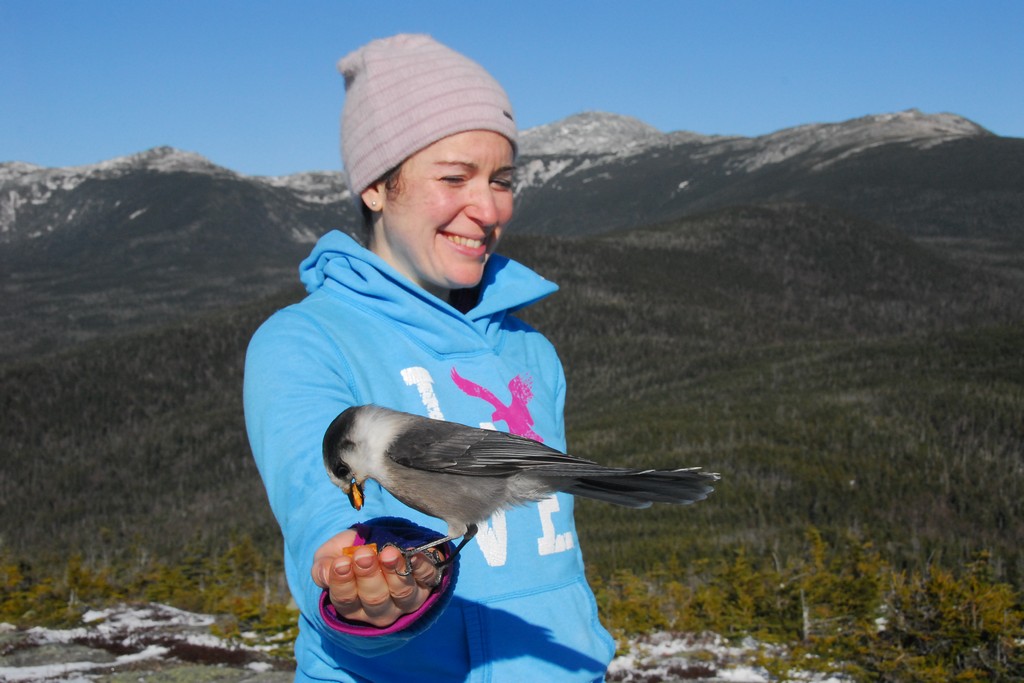
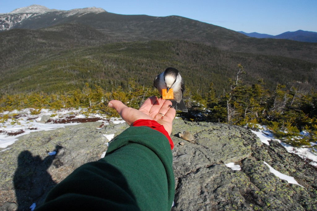
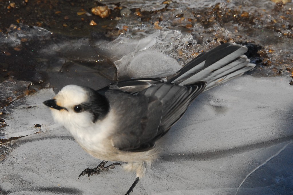
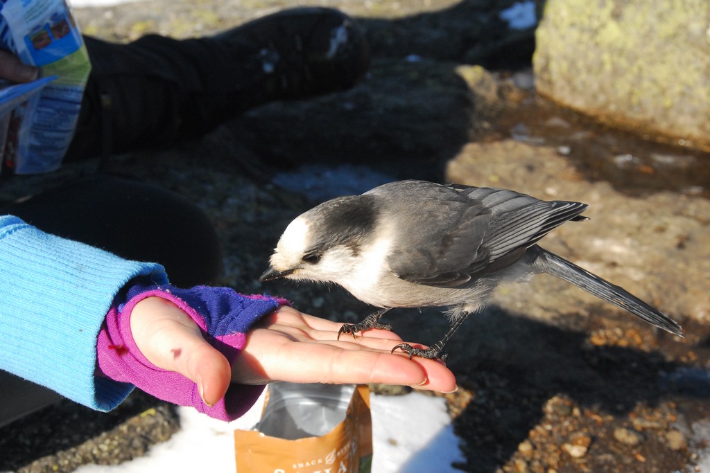
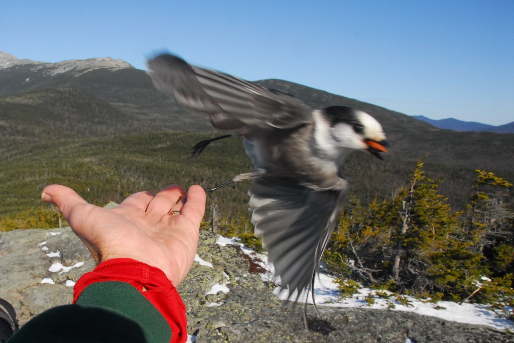
Pam was very happy to see the Gray Jays on top of Mount Isolation. She had seen them before on her first hike to Mount Hancock and was very disappointed not to see them when were there again just a couple of weeks before this hike. She was just all smiles now and it was so nice to see her enjoying them. We took lots of photos of the Gray Jays and ourselves and had a nice leisurely lunch on top before starting the trip back down.
There was a very brief discussion as whether to go back down the Rocky Branch Trail or hike the Davis Path to the Glen Boulder Trail and go down that way but we all knew that Rocky Branch would be a lot quicker. We did leave a car at the Glen Boulder trailhead just in case we had decided to do this but we were more interested in getting down before dark at this point... and that may not have been possible via Glen Boulder.
|
We did not stop much at all on the way down and at times we seemed to be traveling like greased lightning. Perhaps because of this we missed the tracks we were looking for that marked the bushwhack route we had taken on the way in. We ended up at another river crossing that we knew we had not done on the way in and had to backtrack to look for the bushwhack. We did stop and rest a short while at the river before doing this though.
|
There were a couple of other very short stops on the way back down after we left the river but we were determined to reach the trailhead before it got dark and we set a very brisk pace.
|
We made it back to the parking lot by just a little after 330, with probably a half of an hour to spare before sunset and maybe an hour or so of daylight left. It had been a wonderful day of hiking and I was not disappointed at all in the choice of trail. Well, maybe I was still a little disappointed at not getting to do Glen Boulder because I knew the views on this day would have been awesome. I always knew it would have taken a lot longer and we would not have finished before dark, espcially if we had gone up and down on Glen Boulder.
After we packed up my car we drove Robie back to his at the Glen Boulder trailhead and then we all headed to Lincoln for a celebratory meal.
|
|
|---|
|
|---|


