|
Owl's Head day hike |
|---|
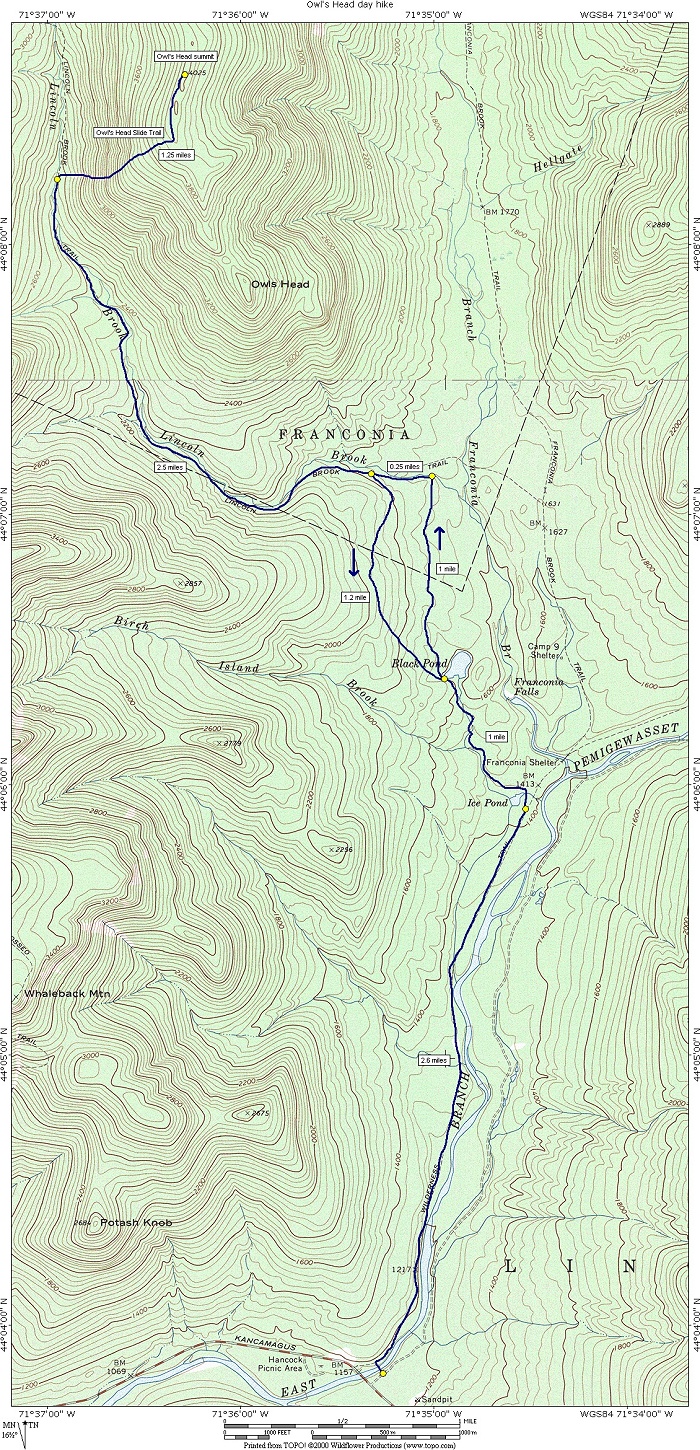
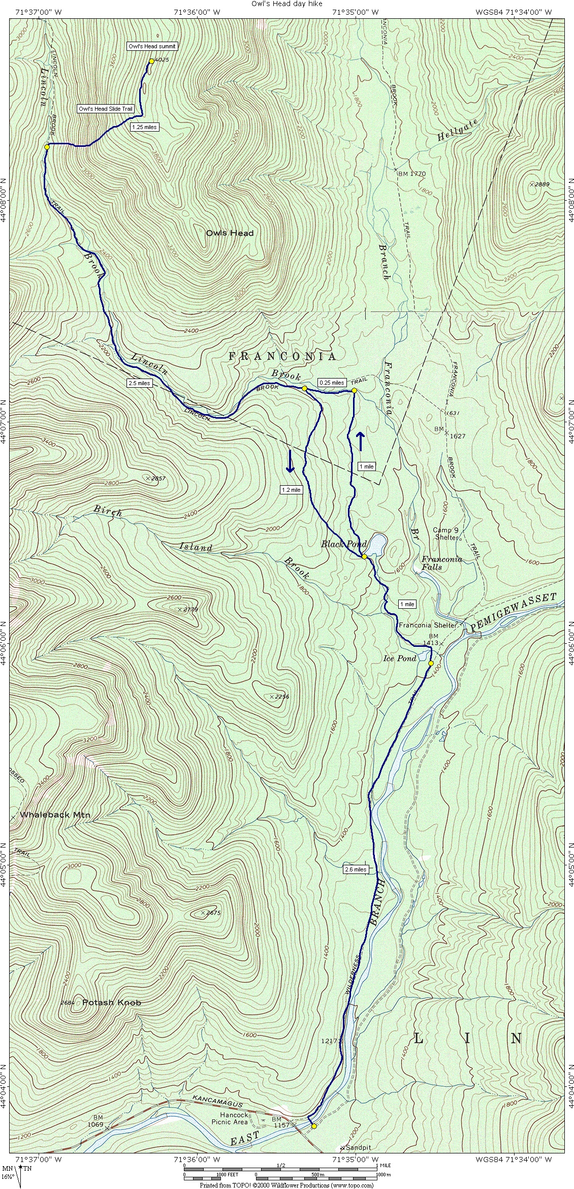
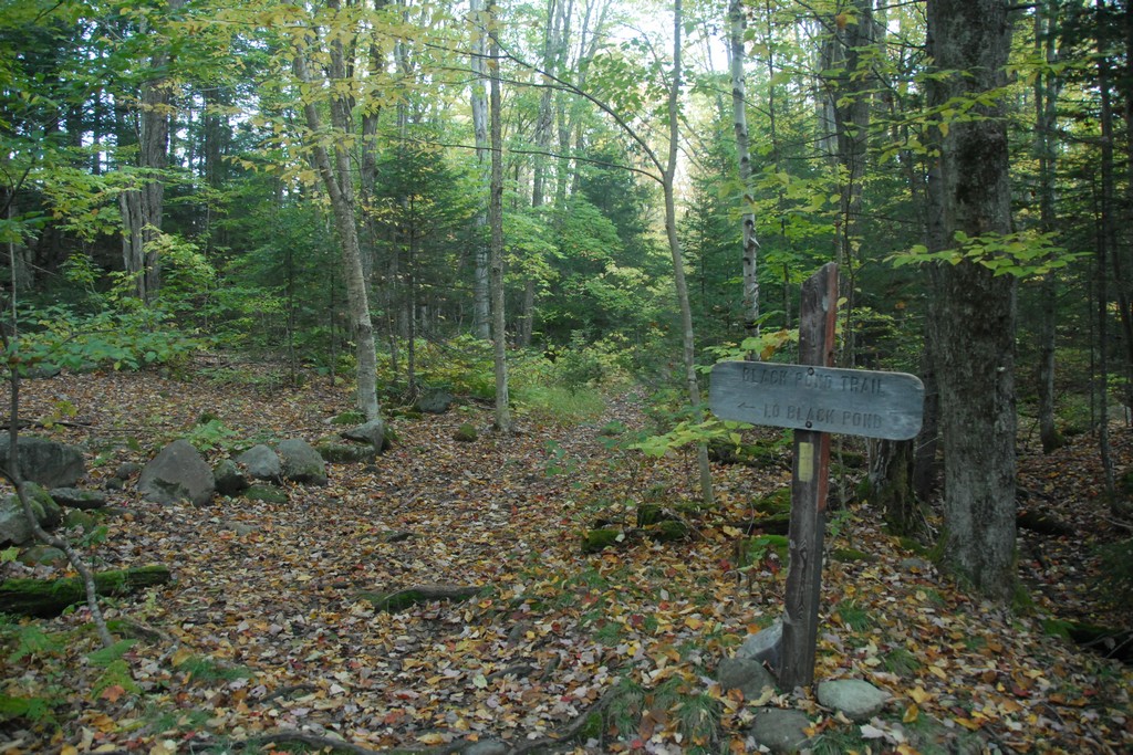
This day hike involved hiking the Lincoln Woods Trail and then the Black Pond Trail to Black Pond, using the Black Pond bushwack to get to the Lincoln Brook Trail, hiking along Lincoln Brook to the Owl's Head Slide and ascending to the Owl's Head summit by way of that. The return trip was mostly the same except for a slightly different variation of the Black Pond bushwack.
|
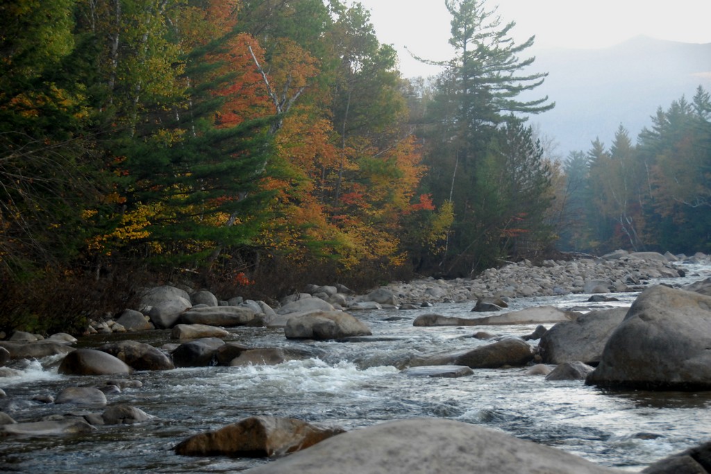
The starting point for this hike was the parking lot at the Lincoln Woods trailhead near the western end of the Kancamagus Highway (NH Rt. 112) in Lincoln.
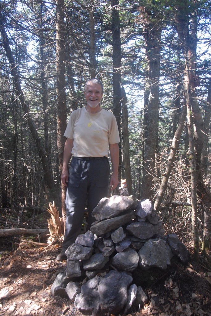
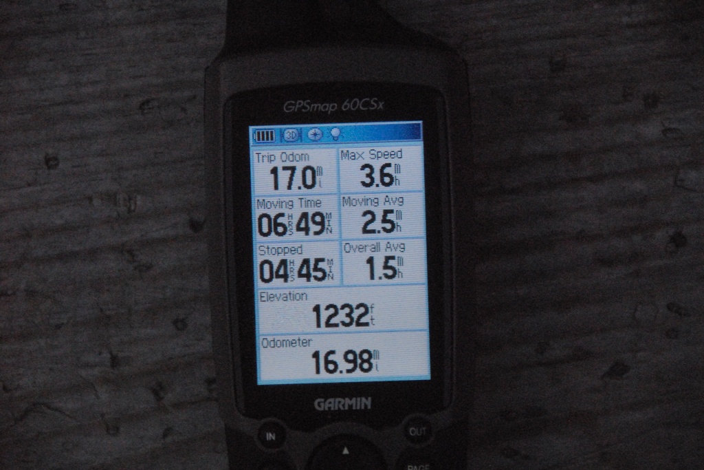
With this day hike I have finally completed the list of White Mountain 4000 Footers. The weather was gorgeous for hiking and I even met some very nice people along the way which made it that much more enjoyable. It was a long hike, probably about 1½ or 2 miles longer than the 16 mile estimate, and that was using the Black Pond bushwhack which cuts 1-1½ miles off each way. The GPS at the end came in at almost 17 miles even but it did not manage to sync up with satellites until I was about a half of a mile into the hike. I am also not sure how accurate the mileage is along the portion that is the Owl's Head slide since that is very vertical The total could be closer to 18 miles or more.
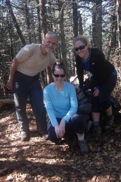
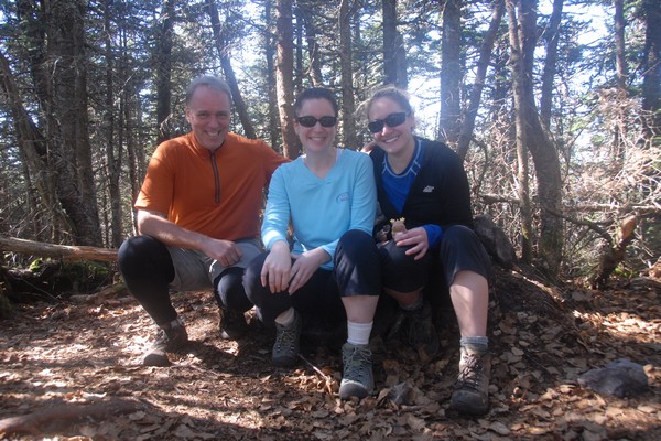
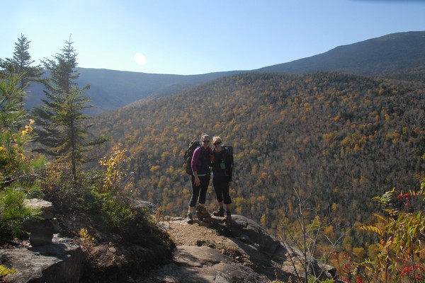
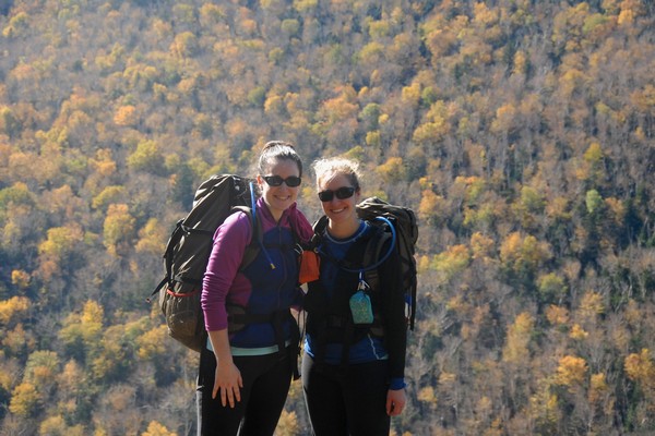
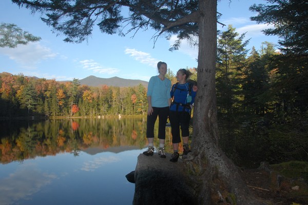
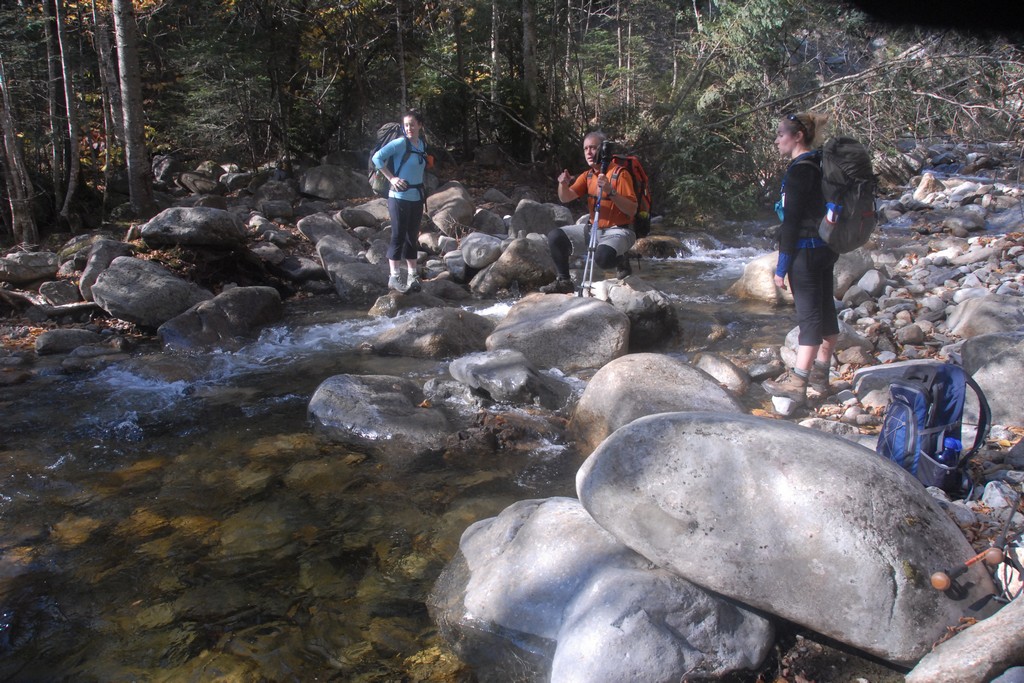
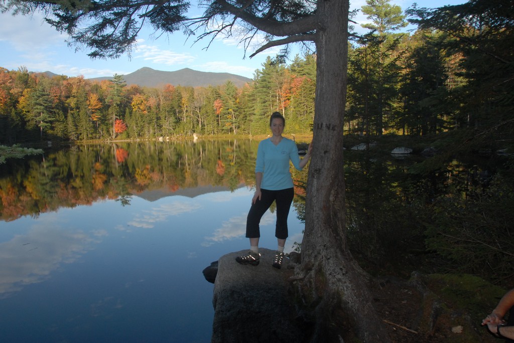
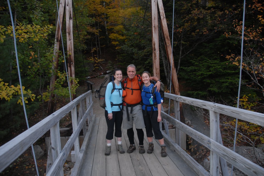
The people I met were also doing the 4000 footers as was just about everyone else we met and talked to on the trail. There really isn't much reason for going to Owl's Head unless you are doing this. It is very remote. The guy I was with, Robie, was working on completing the list for the fifth time around! He also wants to do something called "The Grid" where people will hike every peak on the list during every month of the year. Talk about extreme! I also hiked with two other women: Katie, who with Owls' Head had completed 46 out of the 48; and Pam, for which Owl's Head was number 27. Katie only had Mount Isolation and Cannon Mountain left to do.
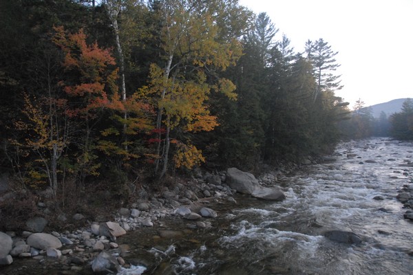
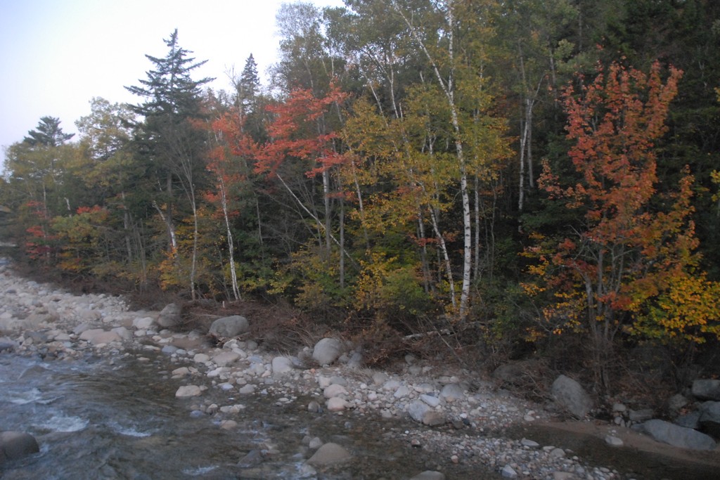
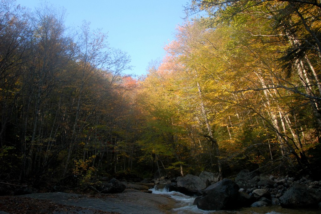
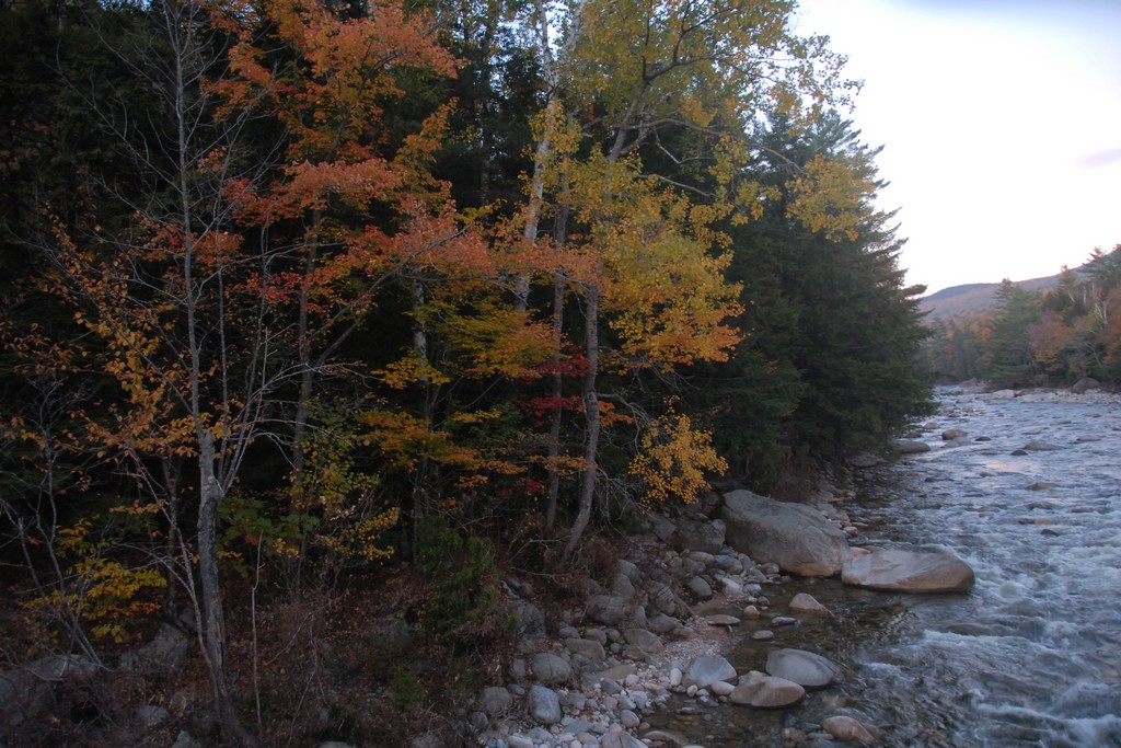
I got a later start than I wanted to for this hike. I had hoped to start closer to 6am and as it was I started after 6:30. I was a little worried about that at first because I knew it was going to be a long day but it all worked out. The morning was chilly along the river before the sun came up and I was wishing I had brought some gloves with me.
|
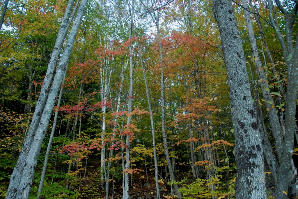
By the time I reached the junction with the Black Pond Trail I was finally starting to warm up. I set a pretty brisk pace along the Lincoln Woods Trail trying to make up some time and I did manage to make up a little.
|
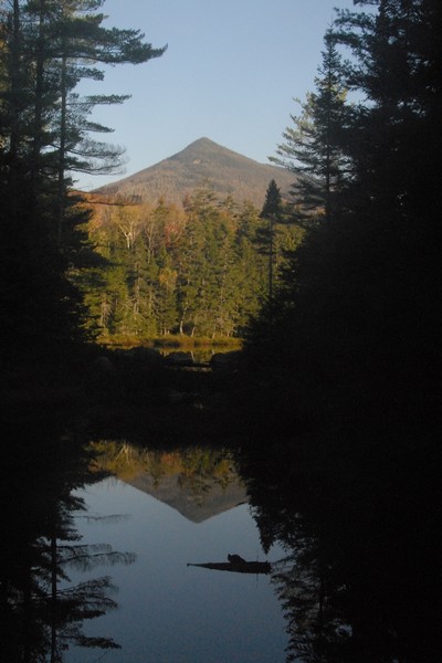
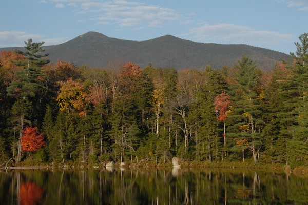
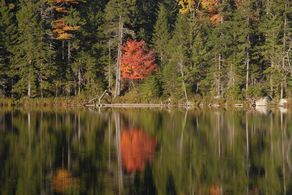
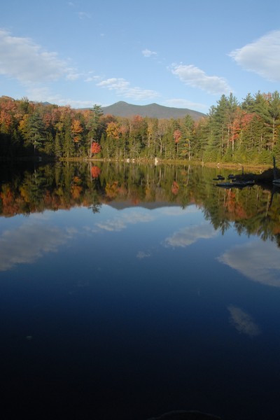
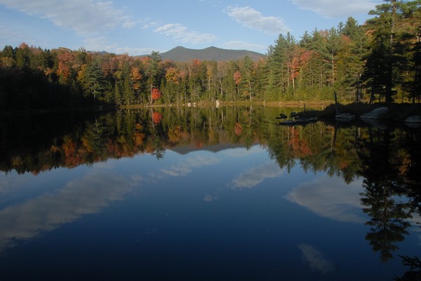
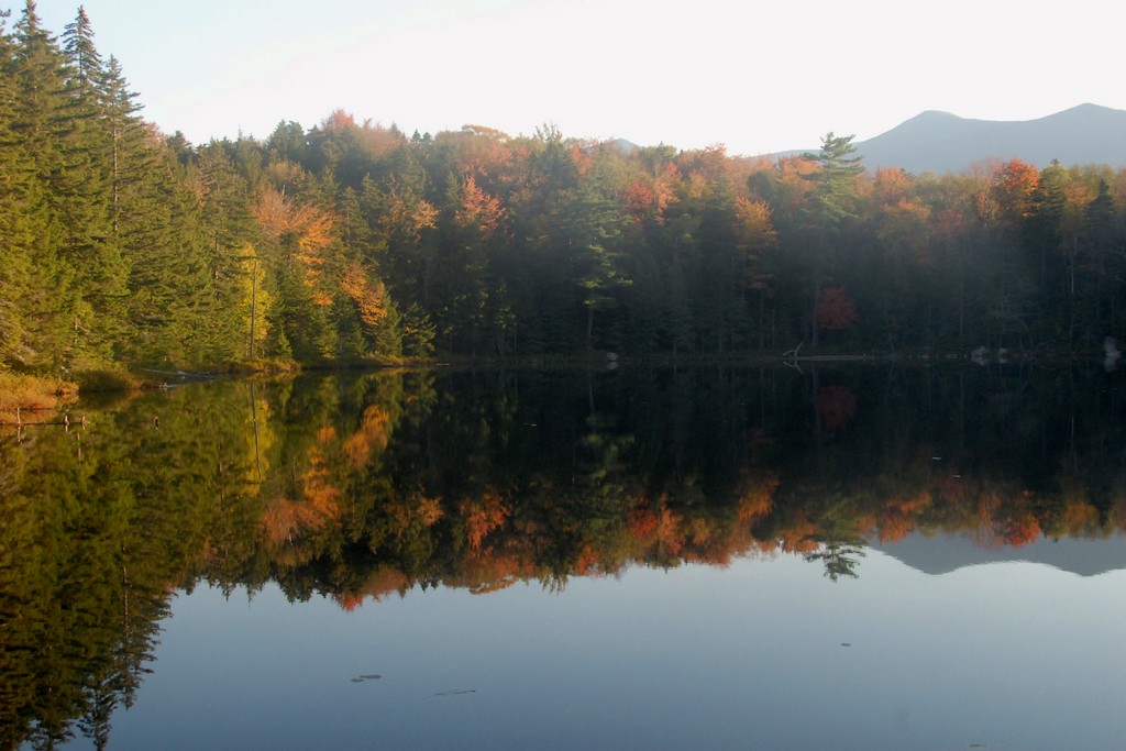
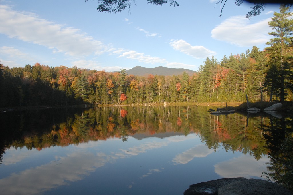
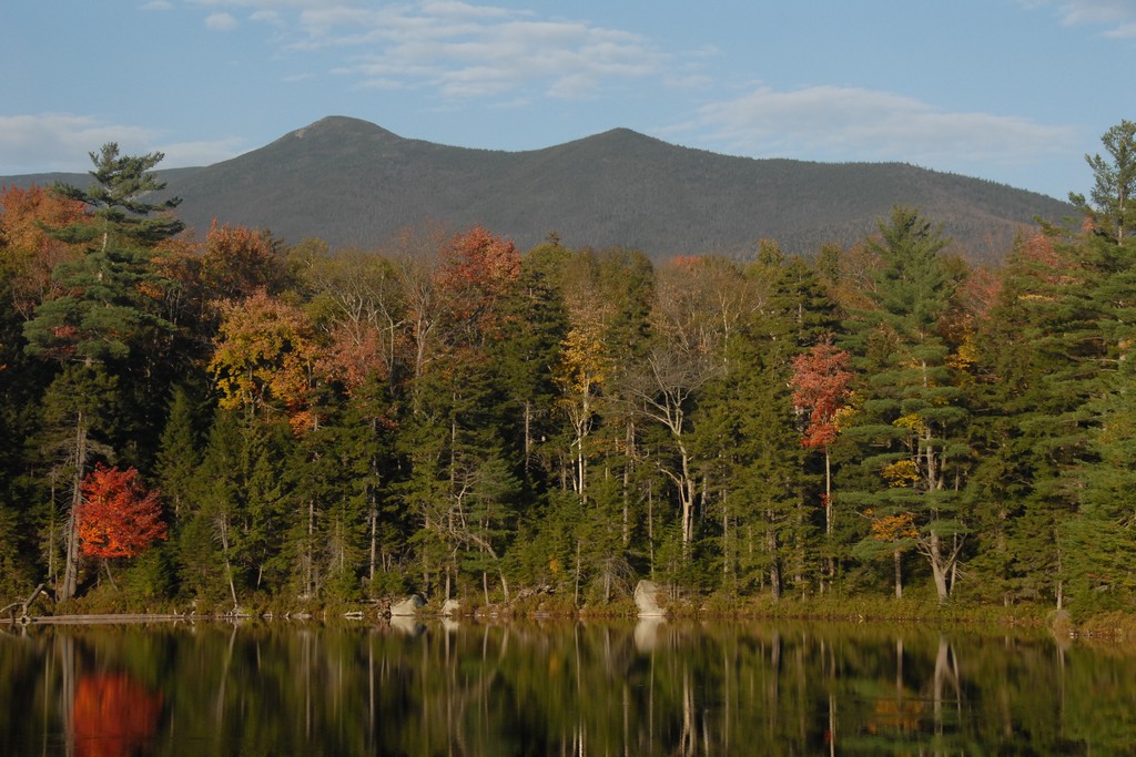
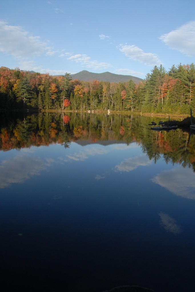
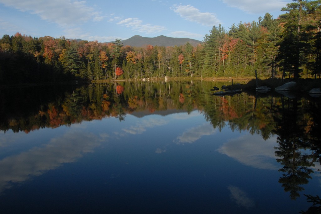
I made up a little more time on the Black Pond Trail and was feeling good about that. Black Pond was very pretty in the stillness of the early morning and I stopped for a short rest and to take some photos. A party of three passed me while I was there and then I passed them a little further up the trail after I started hiking again. We talked briefly and learned that we were both attempting the Black Pond bushwack to Lincoln Brook. I figured I would probably run into them again somewhere along the way again but since they were resting and I was ready to go we parted ways.
|
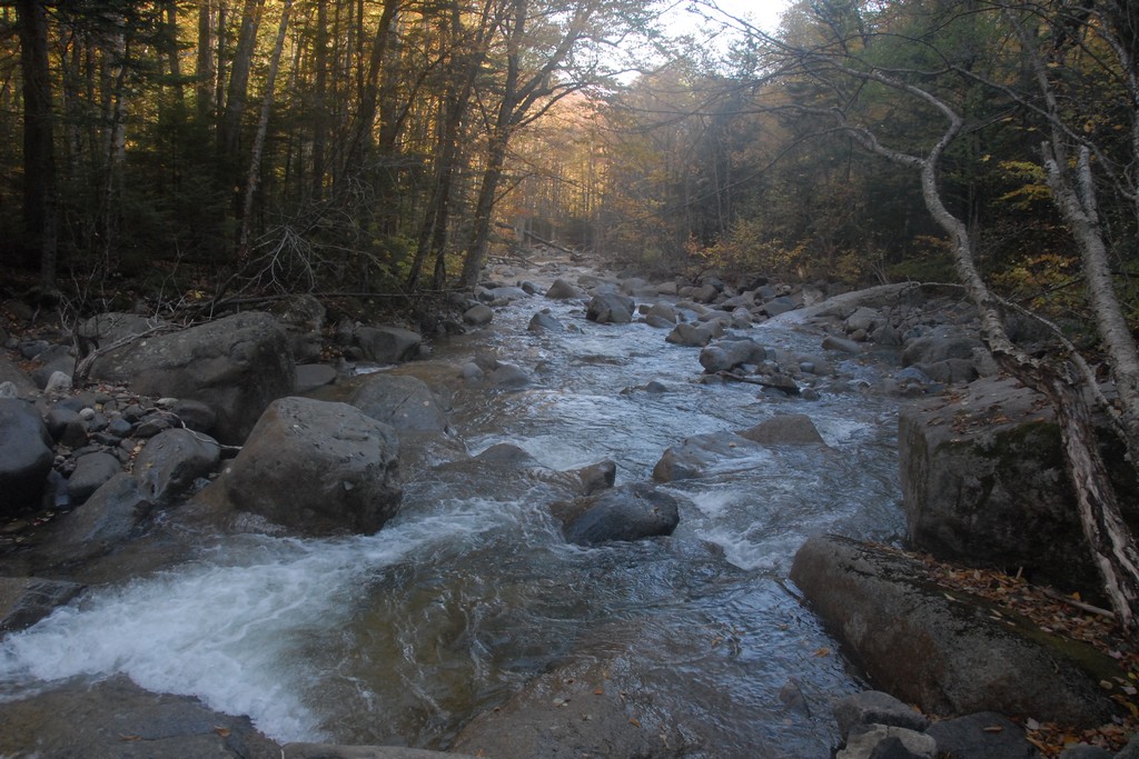
A lost time on the bushwack and even with the GPS ended up hitting Lincoln Brook about a quester of a mile east of where I wanted to hit it. The GPS kept telling me to go more to the west, which had me going higher and higher, and it just seemed like I was going too high based on what I remembered of the topo map. It was supposed to be more of a traverse but wasn't working out that way. I guess I should have gone higher at the start but didn't.
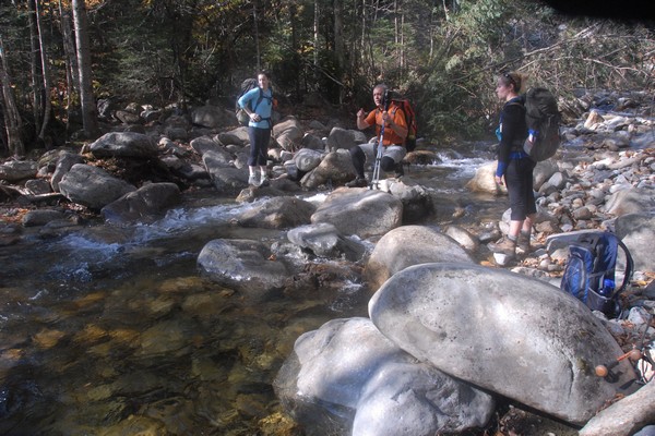
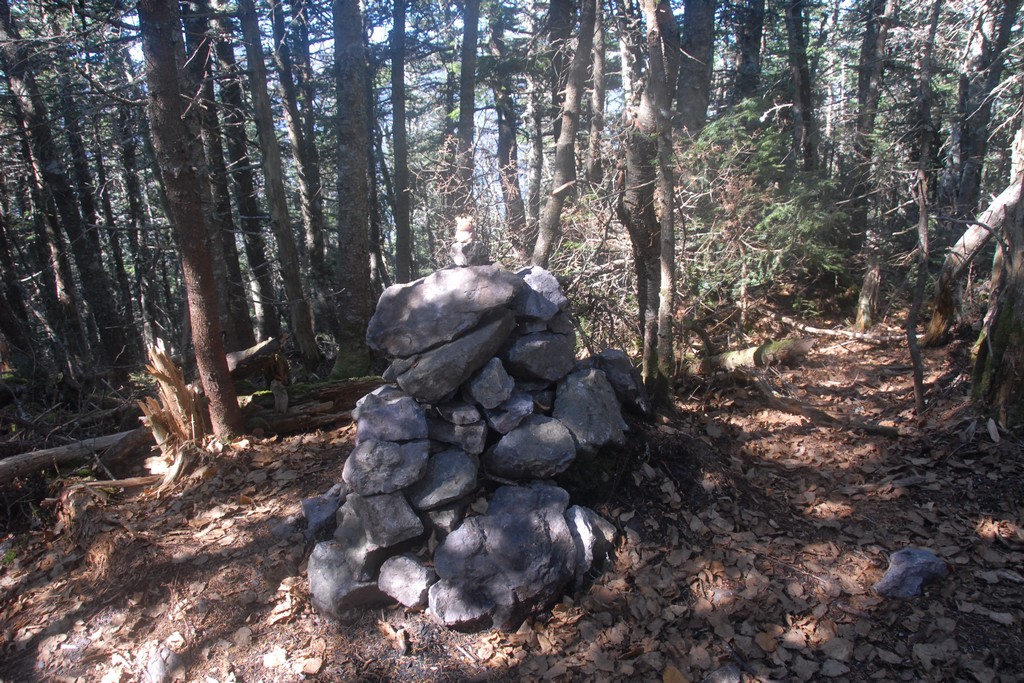
When I finally got the point I wanted to be on Lincoln Creek I ran into my soon-to-be hiking buddies again. I don't know if they hit it spot on or also came out to the creek somewhere else and wandered to this point but it was obviously the place where the bushwack was supposed to end up and was marked by a carin I would have to keep an eye out for on the way back. We talked again briefly and Robie told me where to look for the first brook crossing and I set off to find it.
|
I found a spot where I thought might be the brook crossing and while I was looking for a way across and taking some photos they passed me again. At this point I just decided to follow along. I knew Robie had done this trip a few times already and he knew where he was going.
|
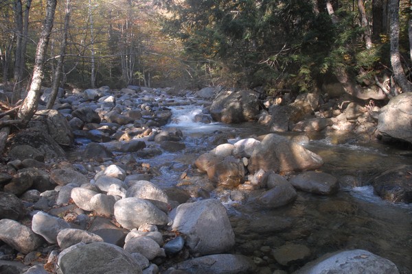
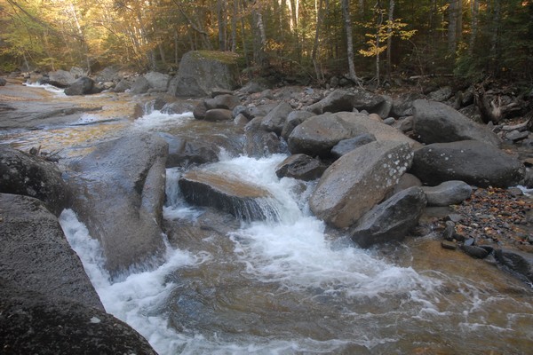
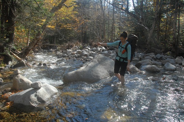
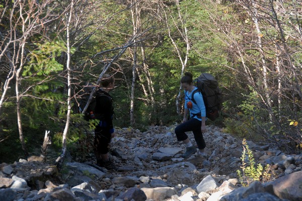
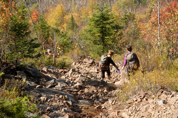
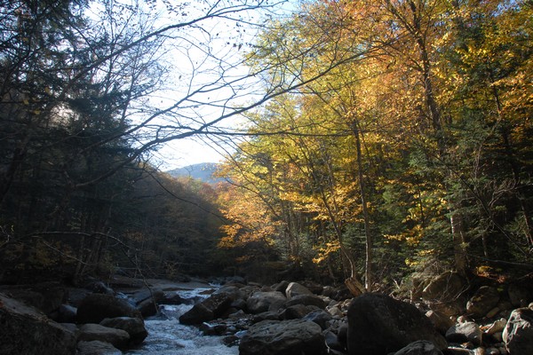
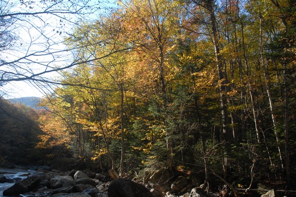
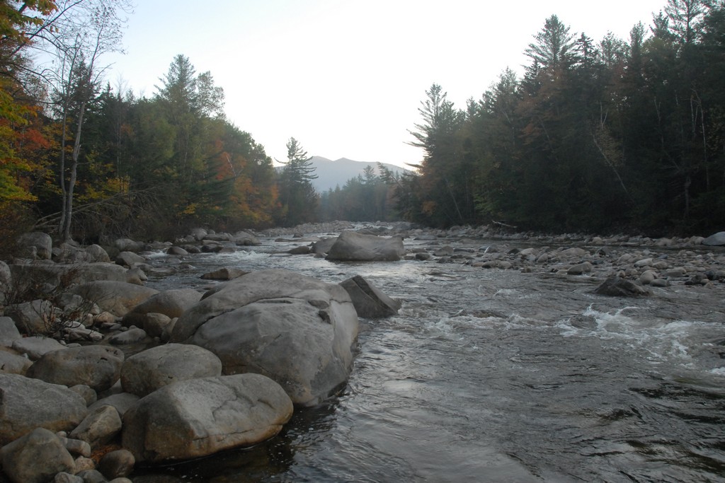
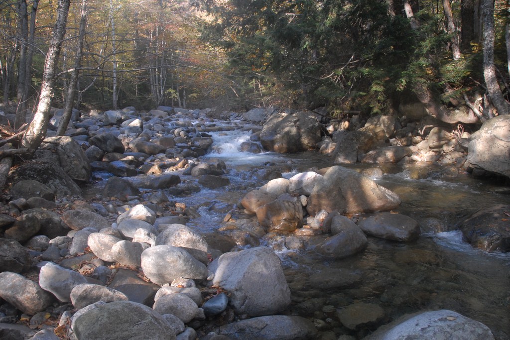
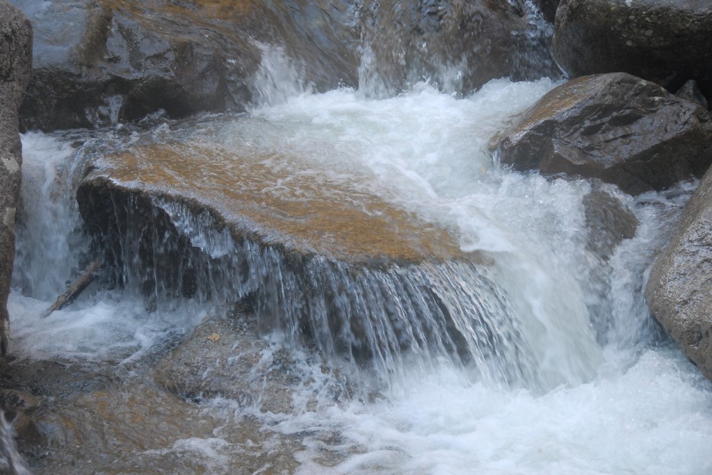
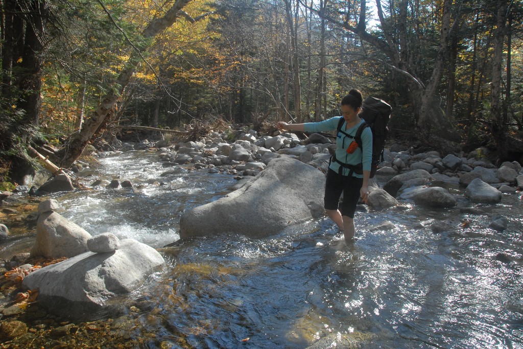
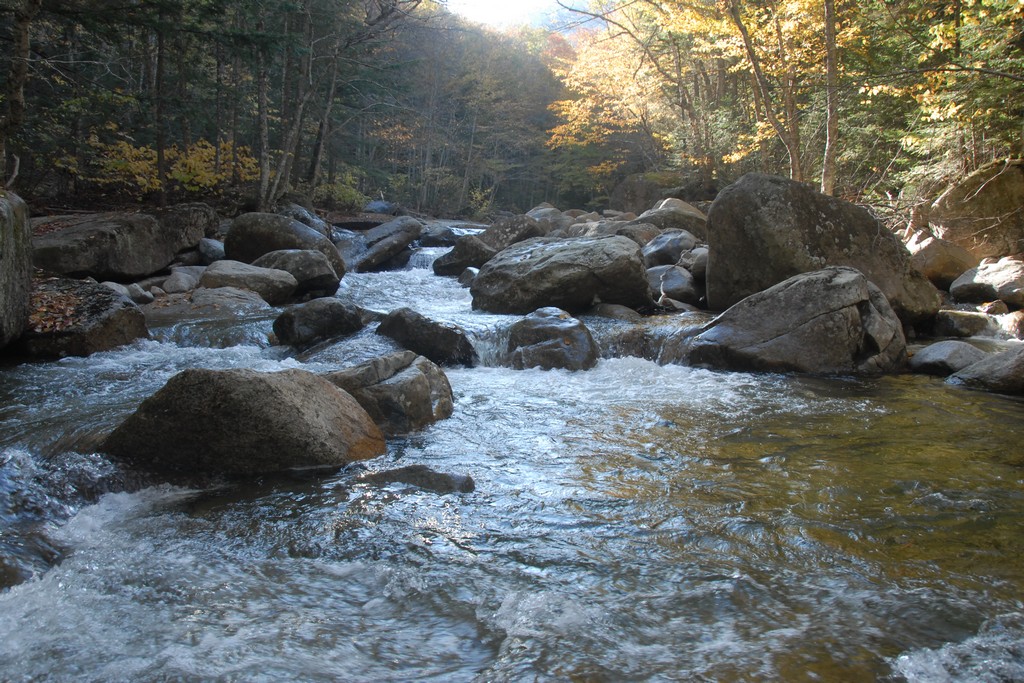
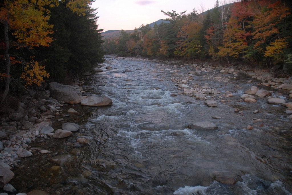
We ended up having to cross Lincoln Brook three times and luckily the water was not very high. The first crossing was very easy and the second a little more challenging. The third one basically took a small leap of faith but as long as you kept the momentum moving forward and did not try to stop mid-stream it also was not too bad. Katie could make that leap of faith and ended up wading the brook. On the way back she did manage to make it across though.
|
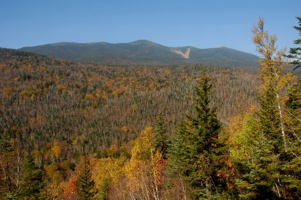
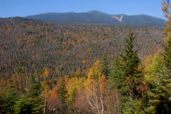
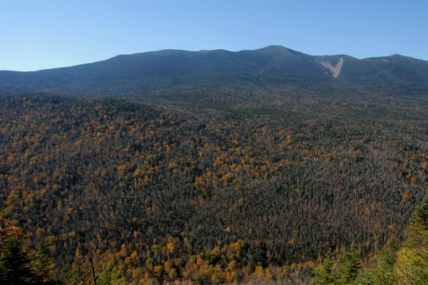
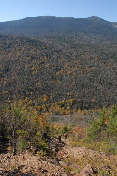
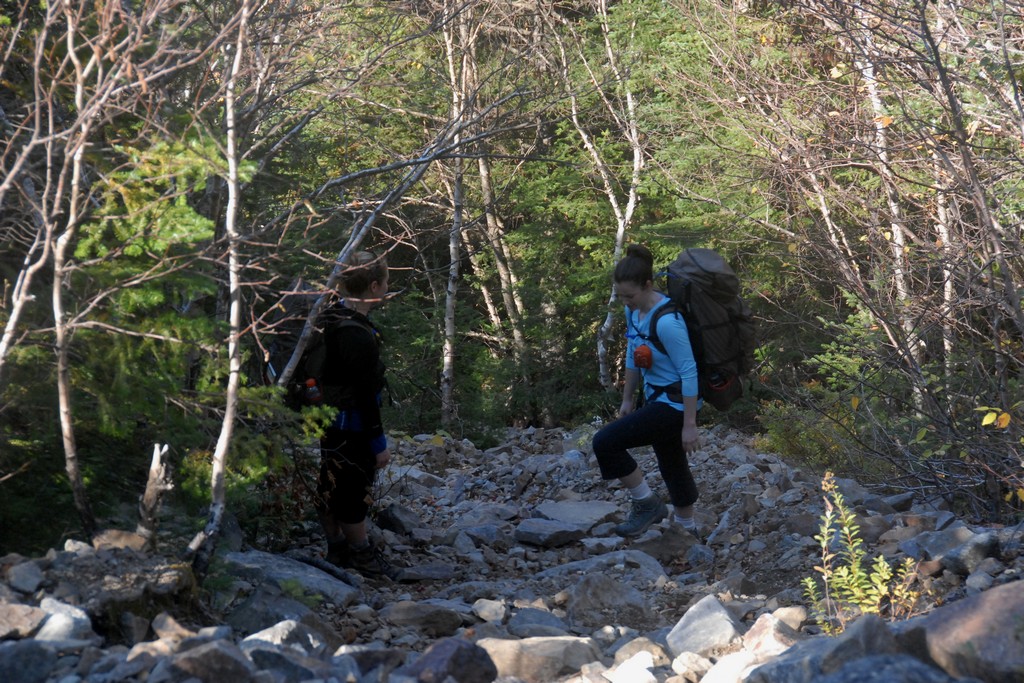
The Owl's Head slide was a lot more steep and lose than I thought it would be and reminded me of some backcountry routes I had been on in the Grand Canyon. There was no real trail and you basically just had to work your way up the slide and constantly look for the path of least resistence. It was often not safe being directly behind someone as large rocks frequently came lose and went tumbling down the slide.
|
We pnly spent a half of an hour or so up on top of Owl's Head, taking photos and having something to eat, before starting back down again.
|
It was already close to 2:30 by the time we got back to Lincoln Brook and I was beginning to wonder if we could possibly get back to the parking lot before dark. I really wasn't that worried as I was pretty sure we could at least make the Lincoln Woods Trail before darkness set in and I did have a headlamp with me.
|
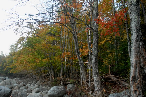
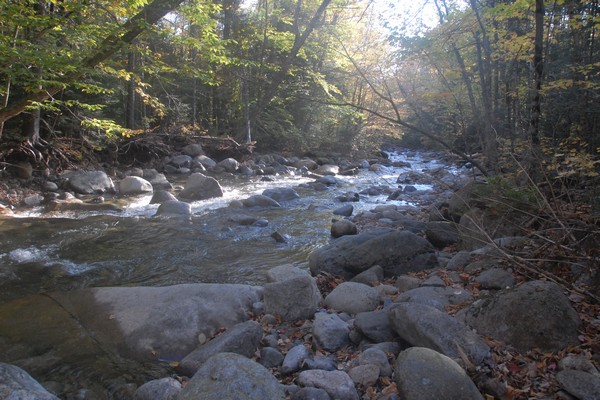
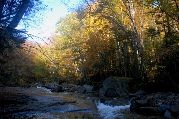
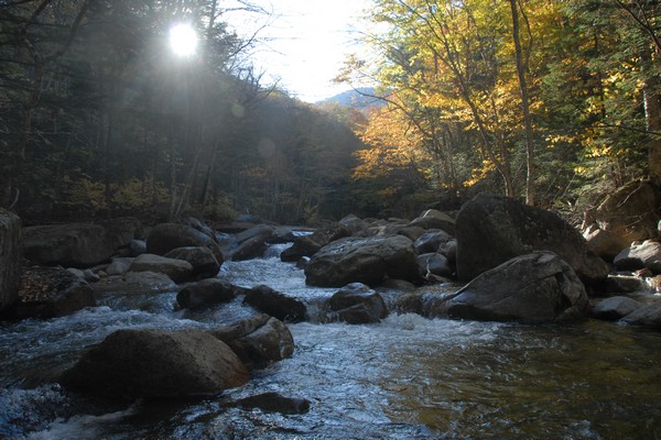
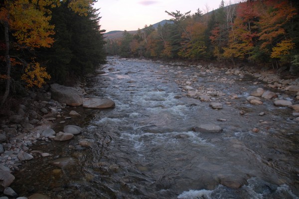
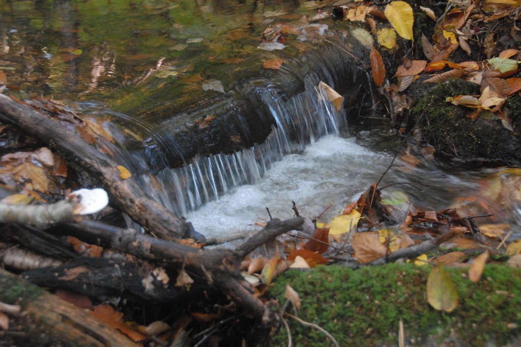
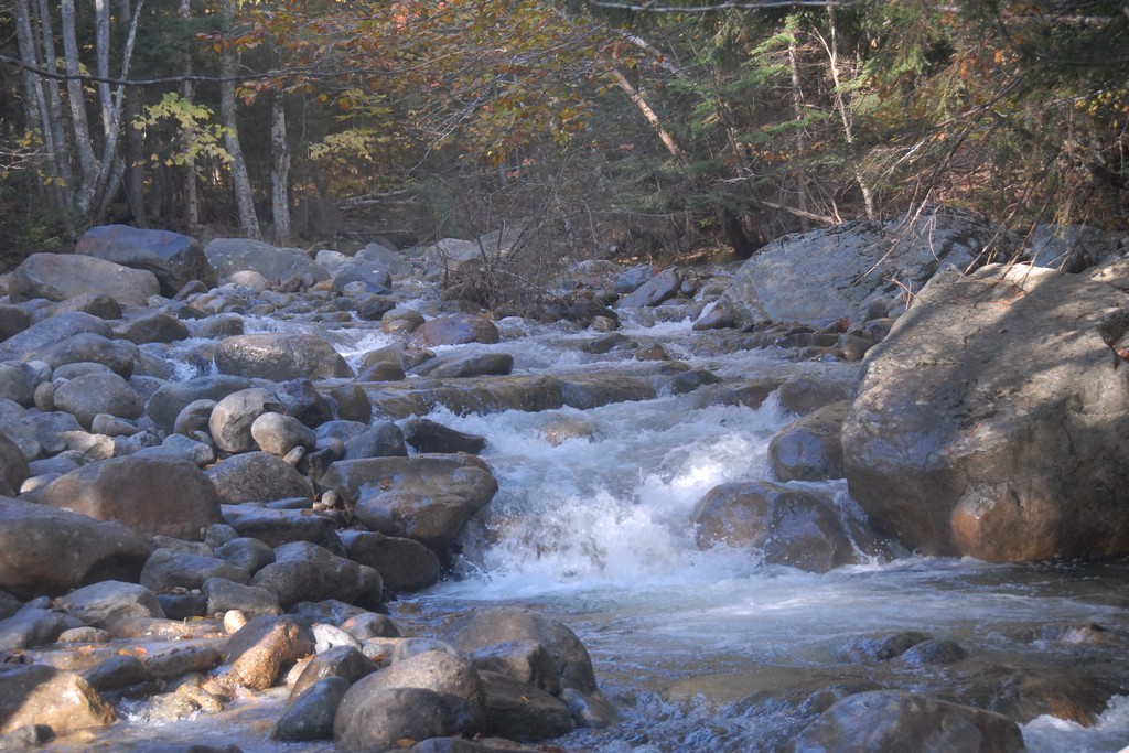
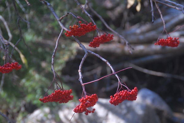
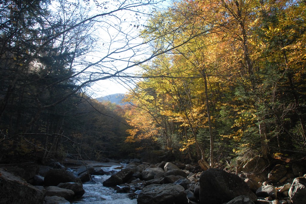
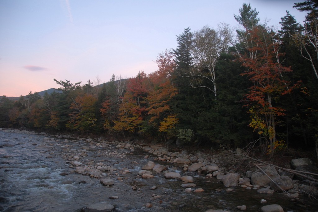
I knew we were starting to run out of daylight on the way back and it was starting to get dark along Lincoln Brook. When I found a little section of the brook that still had some sunlight on it I made my way down to it to grab a few more photos. I was at the end of the group and it didn't take long for Pam & Katie to realize that I wasn't behind them any longer. I found them waiting for me a little further up the trail once I started hiking again. All I said was "Kodak moment".
|
When we got back to the start of the bushwack we found Robie waiting for us. He asked for a show of hands as to who wanted to go back to Black Pond via the bushwack and who wanter the longer route around. We all voted for the bushwack. It was getting late in the day and I don't think anyone wanted to deal with the extra mile and more to go around the long way.
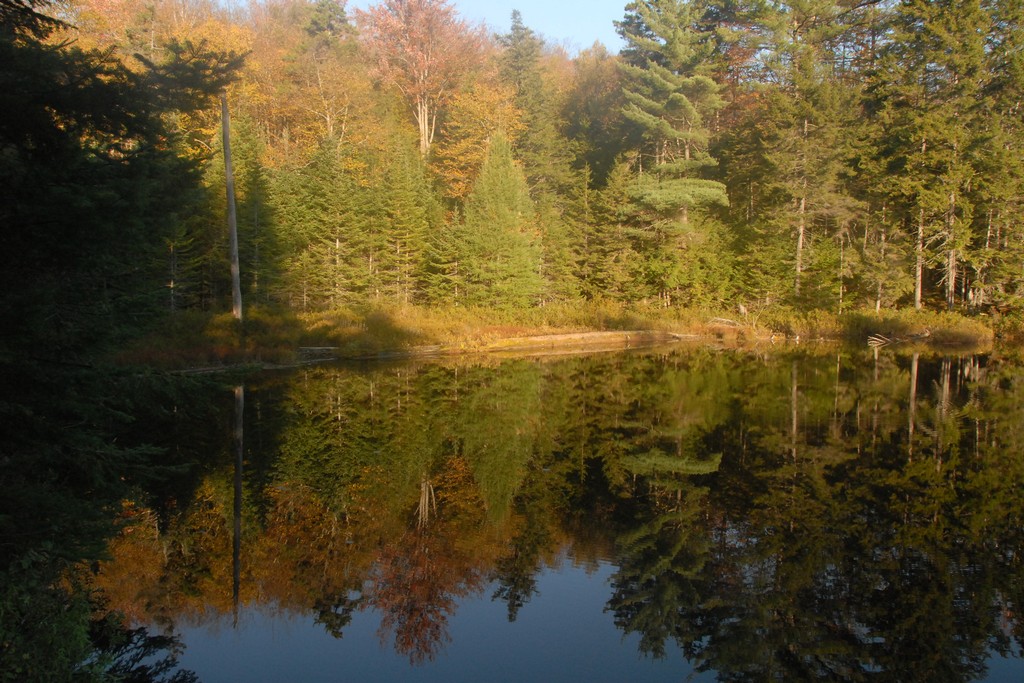
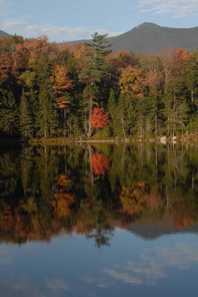
Robie was in the lead and I had a waypoint in my GPS for Black Pond and kept an eye on the course. We made some minor adjustments along the way but we pretty much made a beeline for Black Pond and seemed to arrive there in no time at all. There was even a little sunlight left and the pond was picture perfect in that late afternoon light.
|
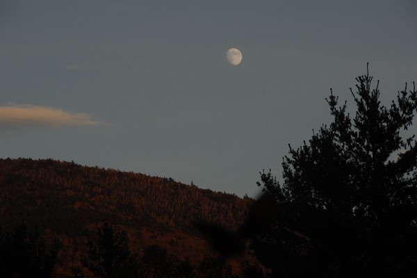
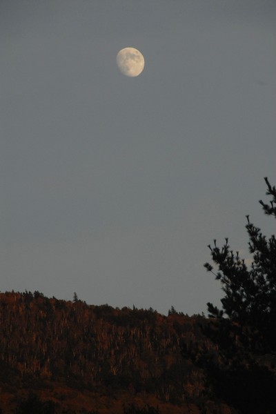
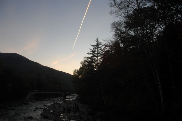
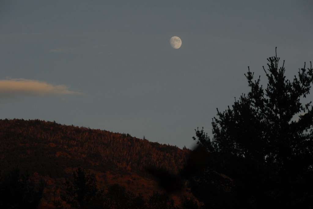
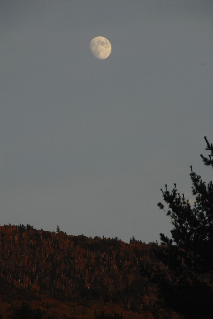
We left Black Pond right around 5pm and arrived back on the Lincoln Woods Trail about 15 minutes or so later. Daylight continued to wane as we made our way back to the parking lot and we were treated a spectacular moonrise over the east bank of the Pemigewasset River.
|
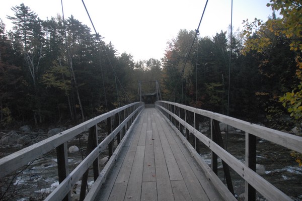
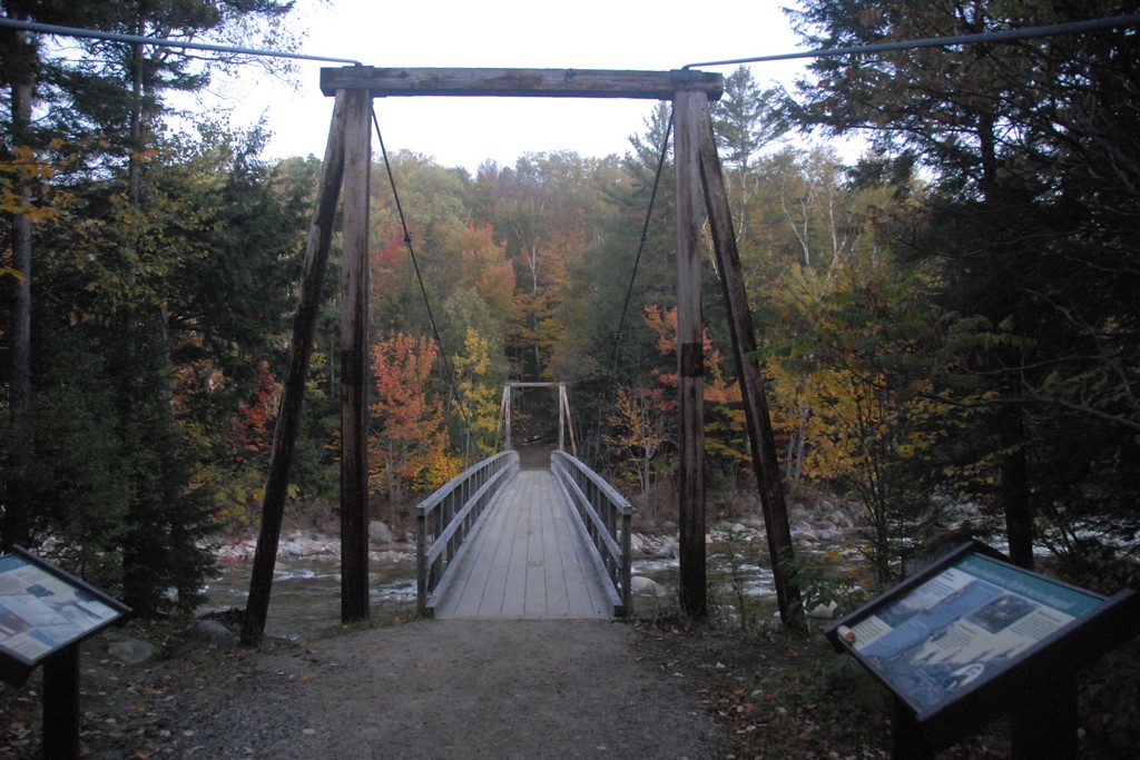
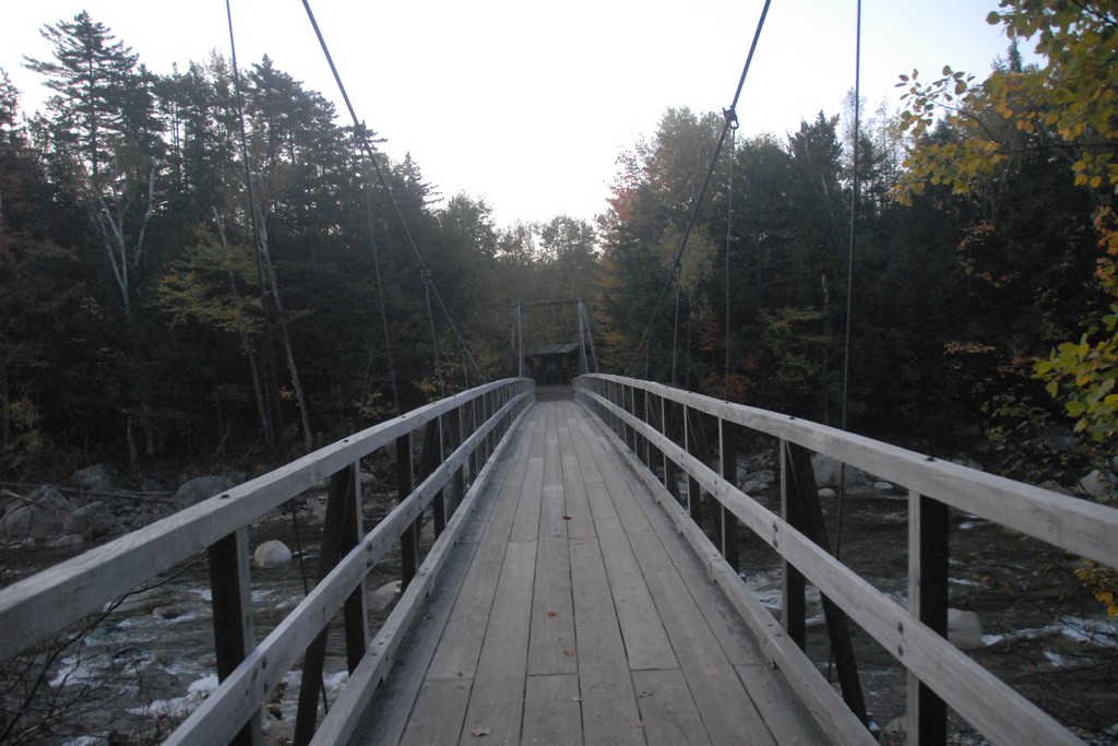
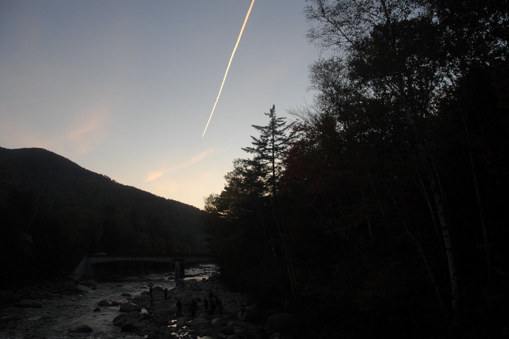
We arrived back at the bridge across the Pemigewasset River a little after 6:15. It was still late dusk and not completely dark yet but the remaining light was fading very fast. We managed to get a few photos in from the bridge in the little light that was left before calling it a day.
|
|
|---|
|
|---|


