|
Mount Tripyramid day hike |
|---|
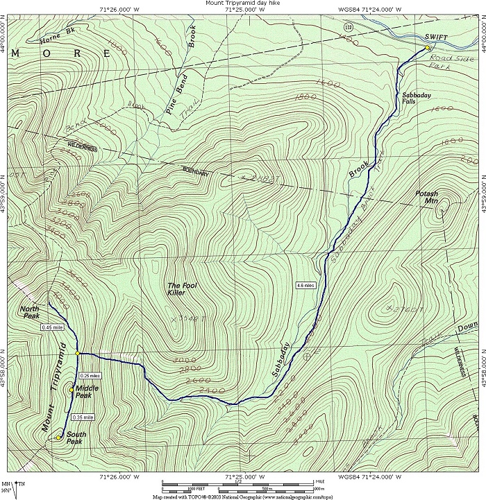
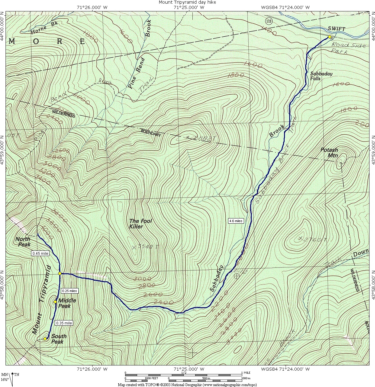
This day hike involved hiking the Sabbaday Brook Trail to the Tripyramid Loop Trail. We went to the North Peak first and had lunch there. We then went past Middle Peak to South Peak, returned to Middle Peak, descended and hiked back to the parking area using the same route as the way in.
|
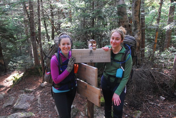
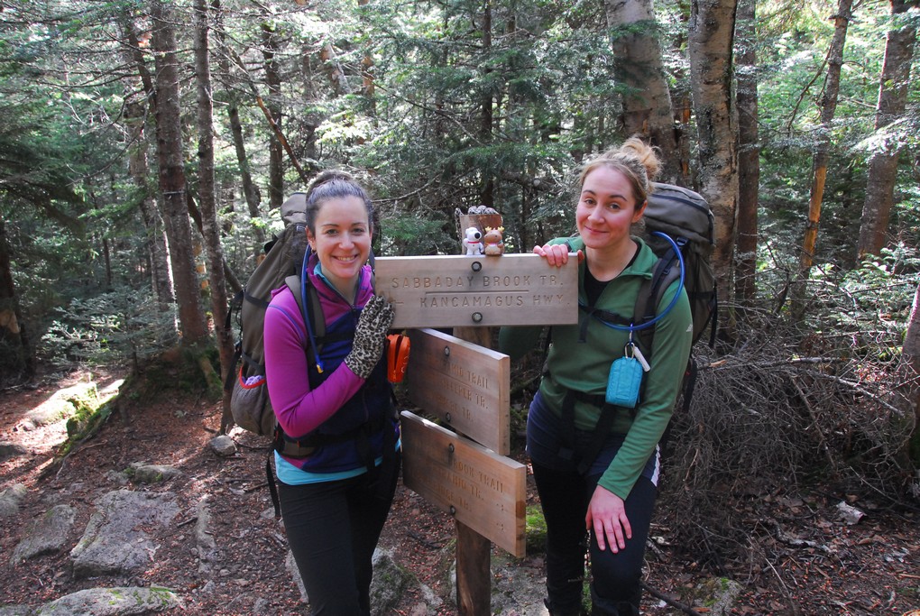
The starting point for this hike was the parking lot at the Sabbaday Falls parking area on the Kancamagus Highway (NH Rt. 112) about 20 miles east of Lincoln.
This was my third hike with Pam and Katie and by now I was already starting to enjoy these little adventures with them very much. I normally do not hike in White Mountains past October and now here I was doing my second hike in the month of November.
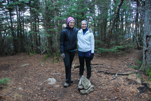
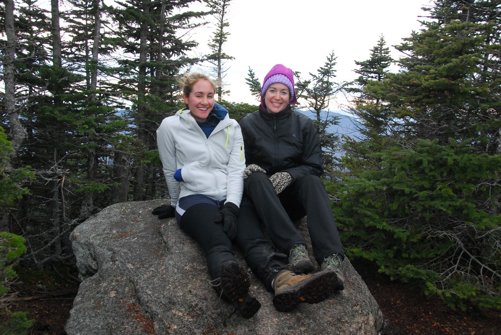
The main purpose of this hike was for Katie to bag peaks number 32 and 33 off of the 48 on the White Mountains 4000-footer list. Pam had already done the Tripyramids and I did them back in July of 2009.
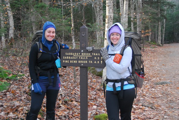
I met Pam and Katie at the Dunkin' Donuts in Lincoln for breakfast, as I had for the prior weeks hike, and then we drove to the trailhead at the Sabbaday Falls parking area.
|
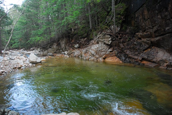
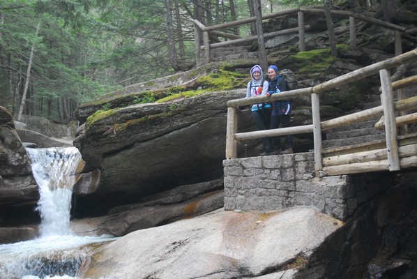
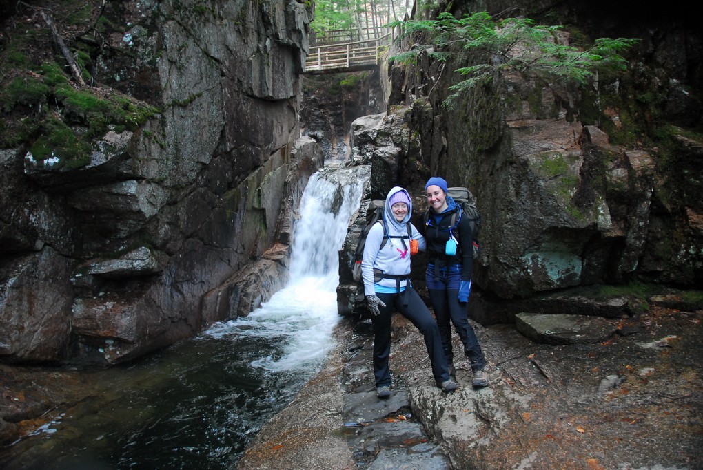
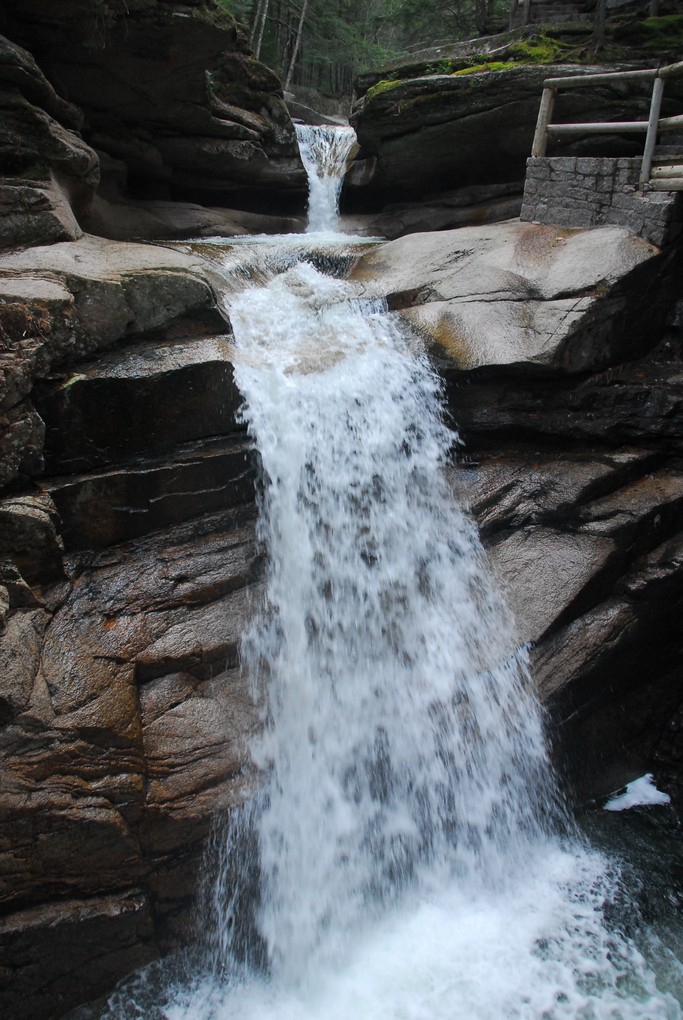
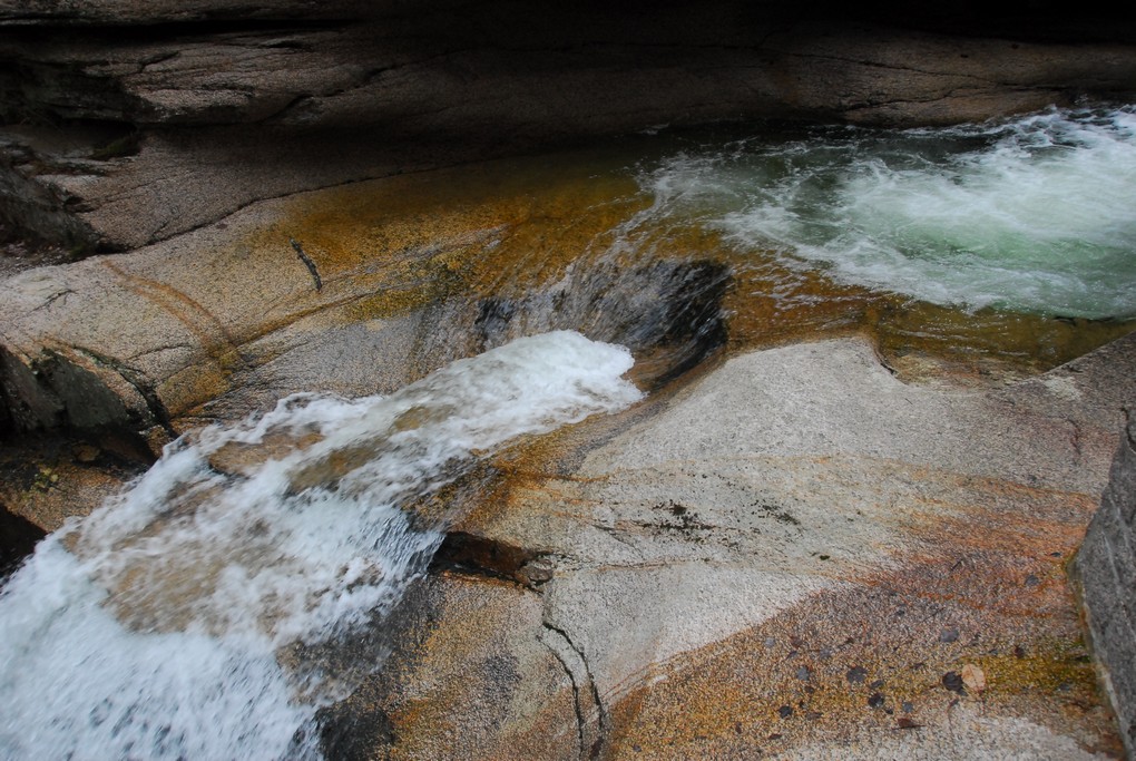
Our first stop was at Sabbaday Falls which was only a little more than a quarter than a mile from the parking area. With all of the time I have spent in the White Mountains and along the Kancamagus Highway I had never been there before. When I did the Tripyramid hike myself I went in by way of the Beaver Brook Trail because the water along Sabbaday Brook was reported as being very high and the crossings someway difficult in places.
|
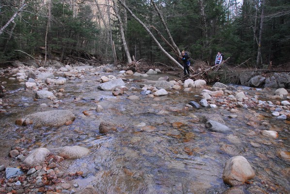
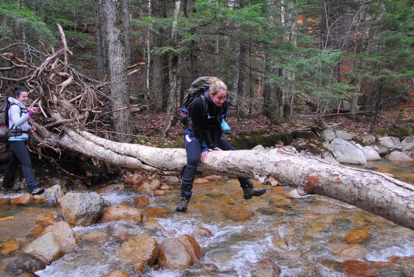
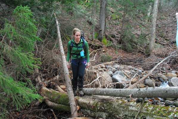
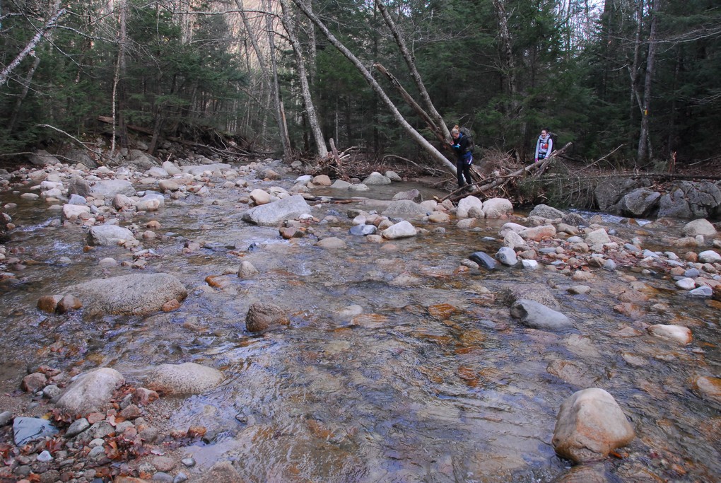
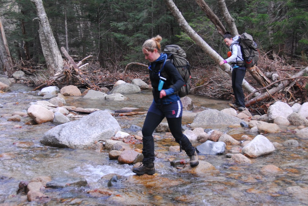
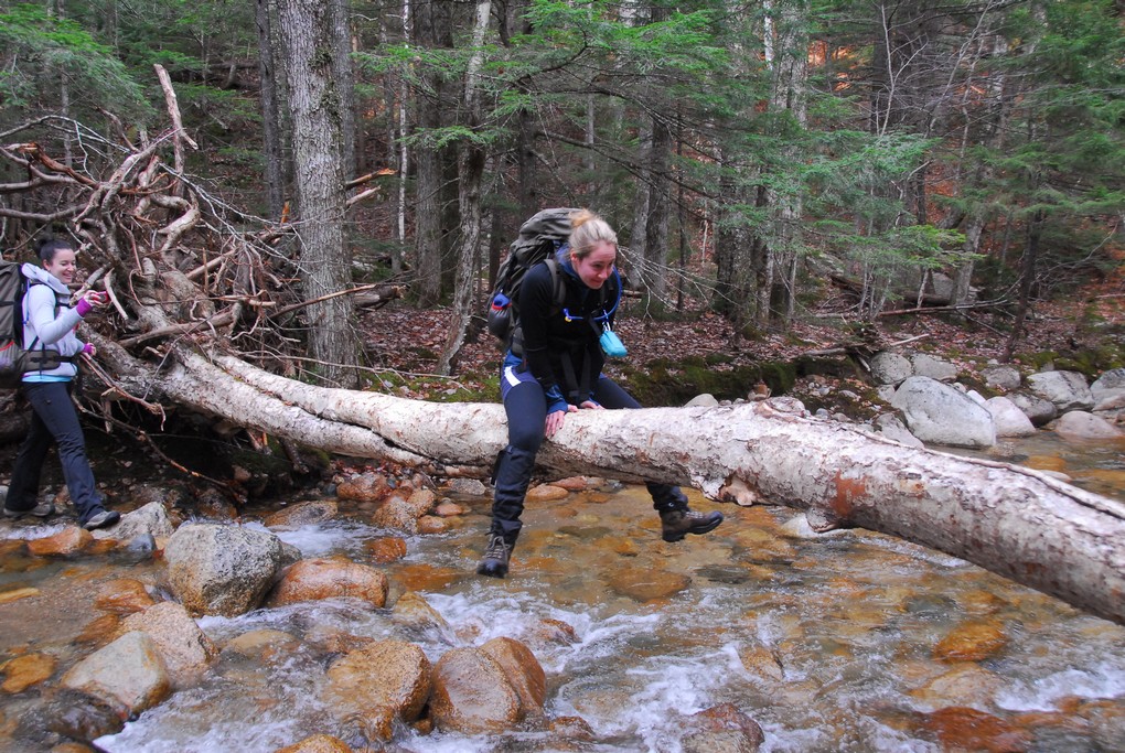
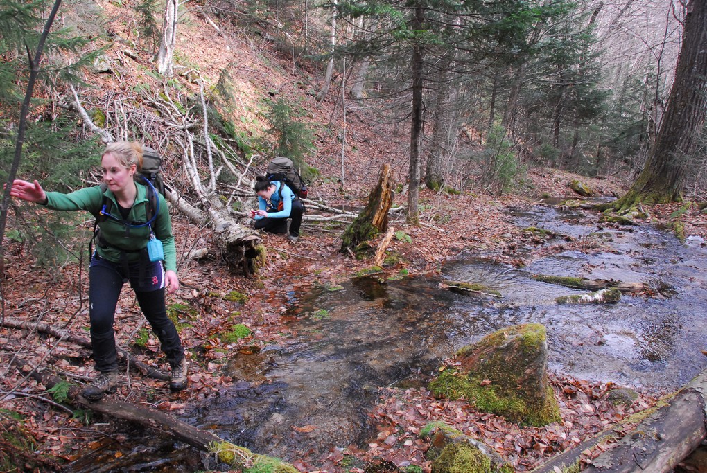
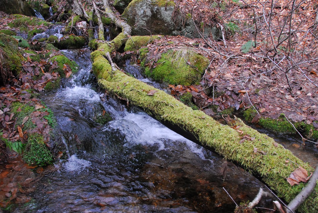
Our first crossing of Sabbaday Brook was a little challenging but we all made it across without gettin wet. The water was really not very high but finding the right stones to use to get across still took a little time. I could not imagine trying to get across the brook during really high water in some of these places.
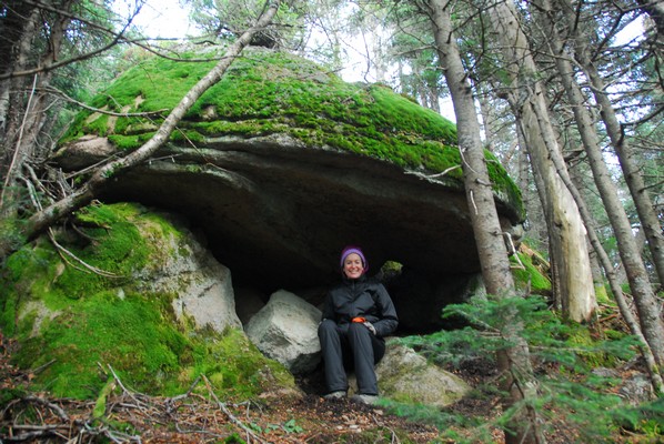
We lost the trail after this crossing and it took a while before we got back to it. Pam thought it would be easier to bushwhack along one side of the bank to avoid a couple of the crossings and I think that may have been true but then finding the trail again once we did cross proved to be somewhat daunting. It was still a heck of a lot of fun though.
|
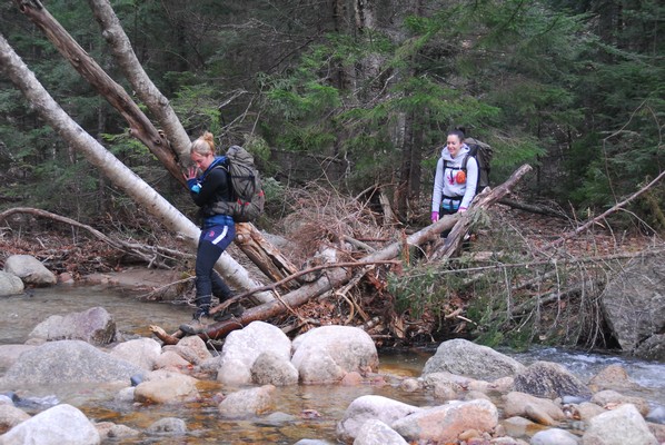
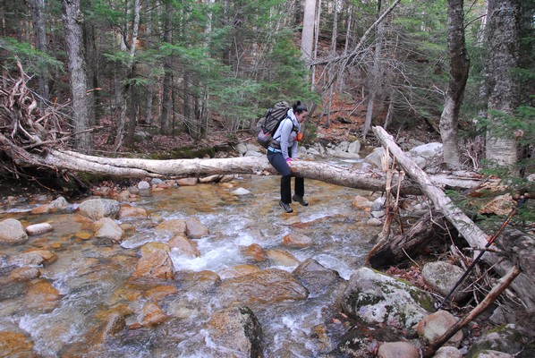
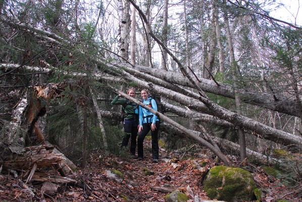
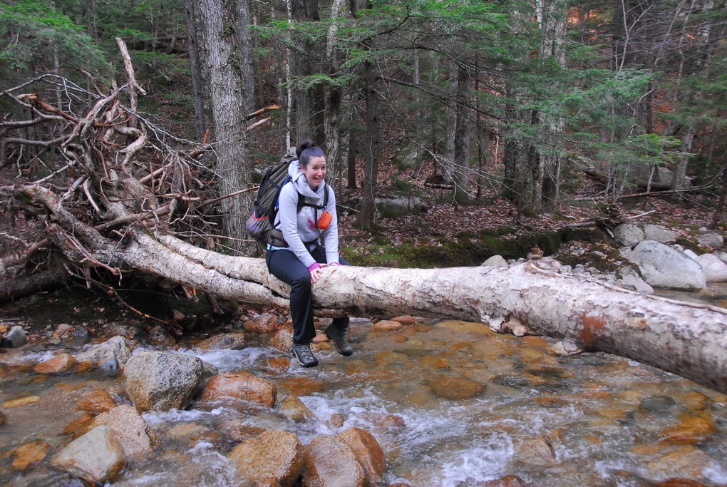
After a few more brook crossings, and searching around for signs of a trail after each one, we finally found it again.
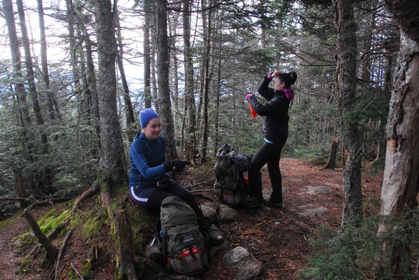
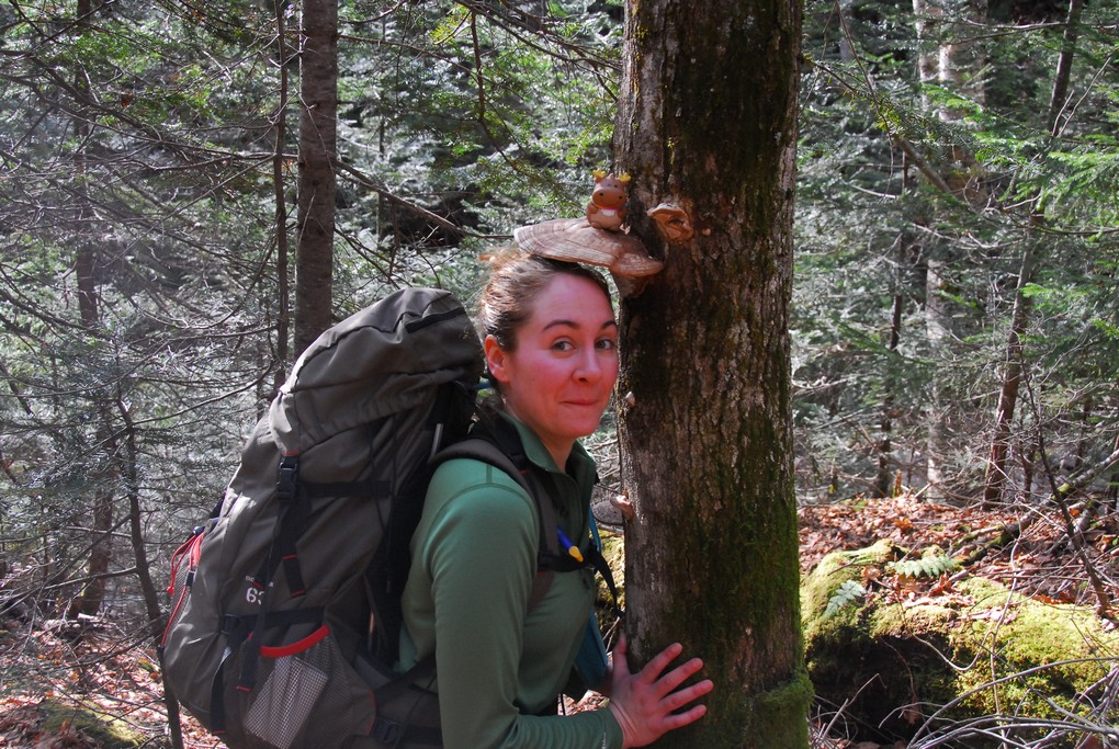
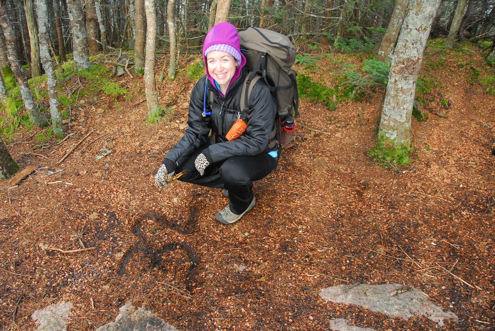
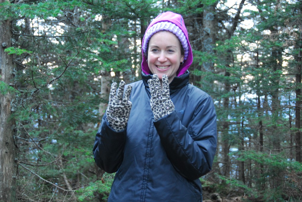
I just love this "Thank goodness" shot of Katie.
|
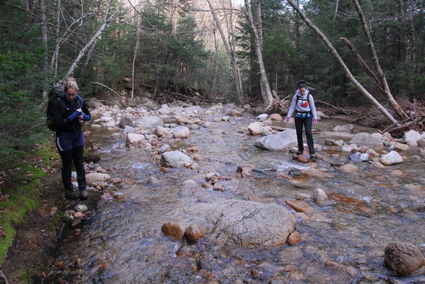
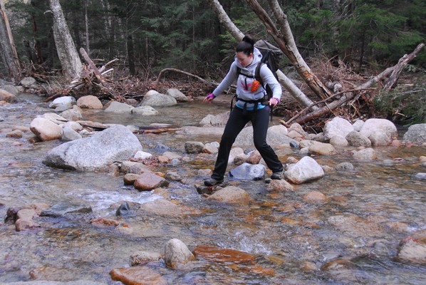
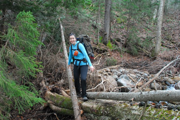
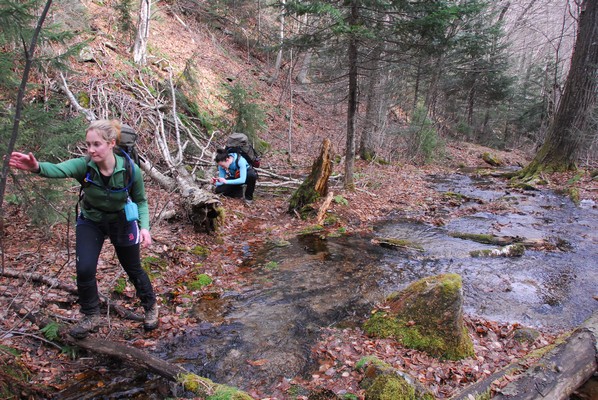
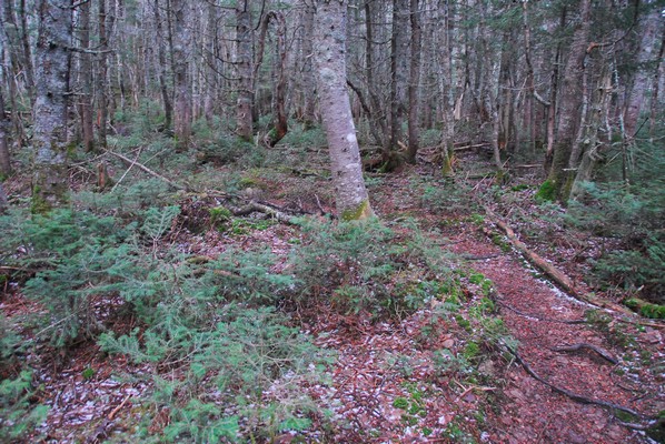
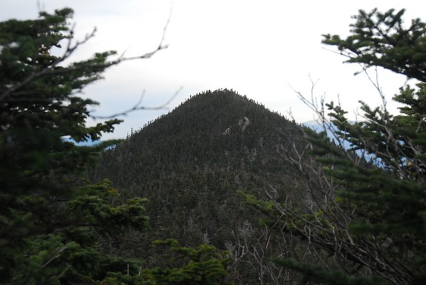
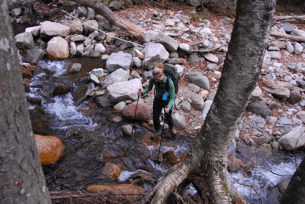
After a few more brook crossings, and one that was a bit of a challenge, we finally came to a point where the trail started to head up at more of an incline. We were just past the southern bend in Sabbaday Brook and at this point the trail starts to climb up a ravine between the Mount Tripyramid and The Fool Killer.
|
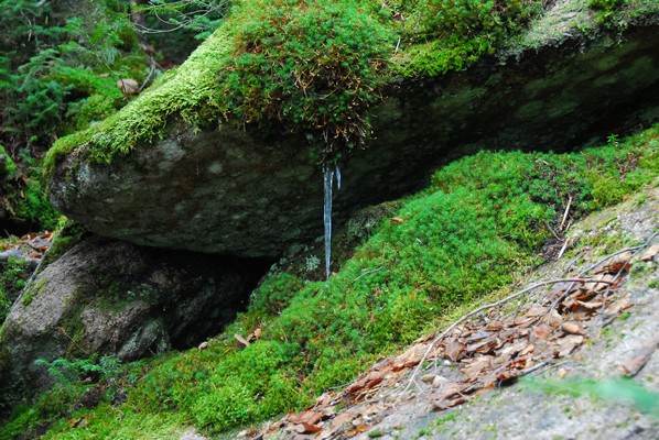
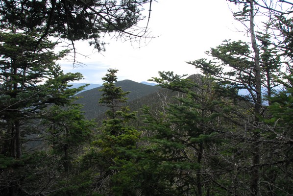
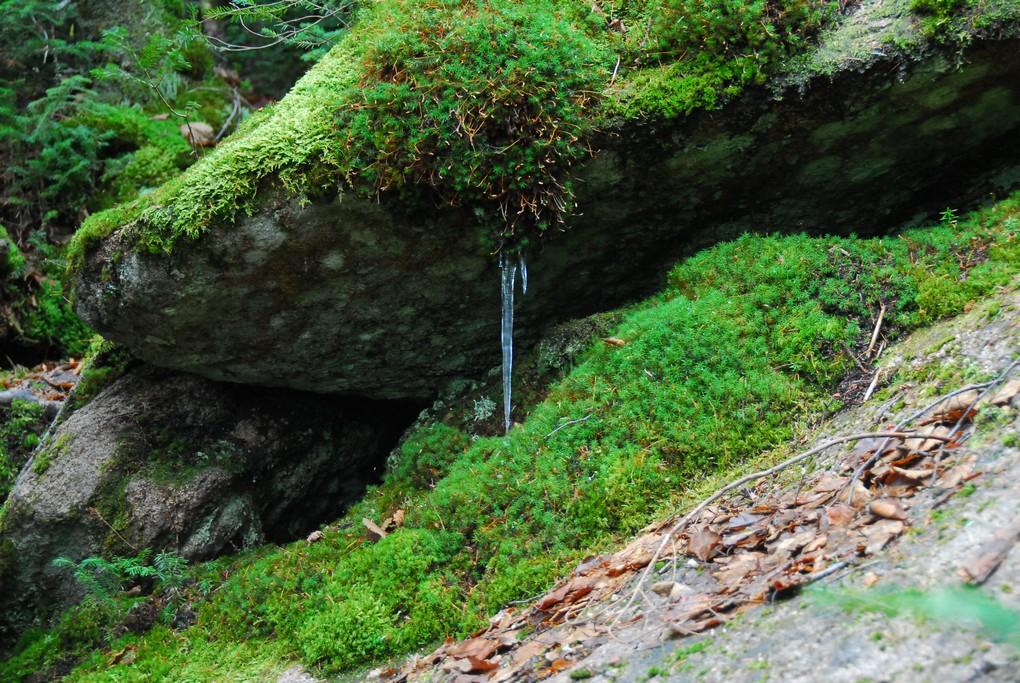
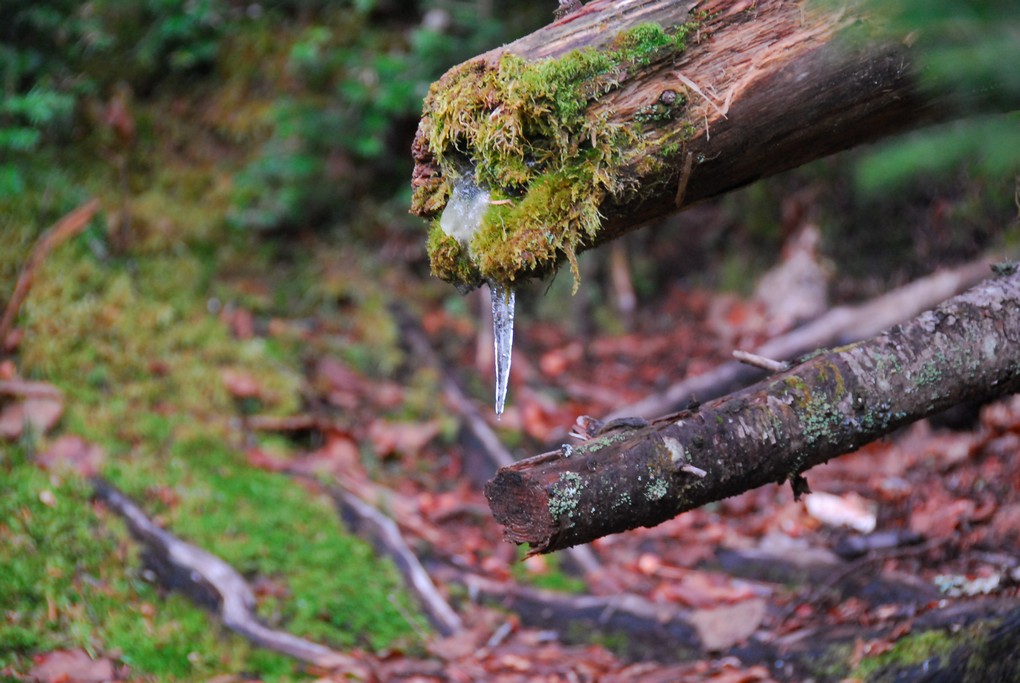
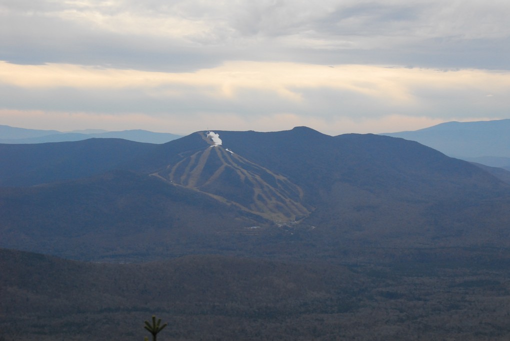
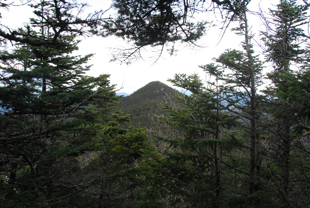
It got colder and colder as we climbed higher and higher and we started seeing little iciclies where there was water dripping. After about an hour and a half of pretty much constant climbing we finally reached the ridge and the junction with the Tripyramid Loop Trail. We took some photos there but did not linger long and header right for the North Peak.
|
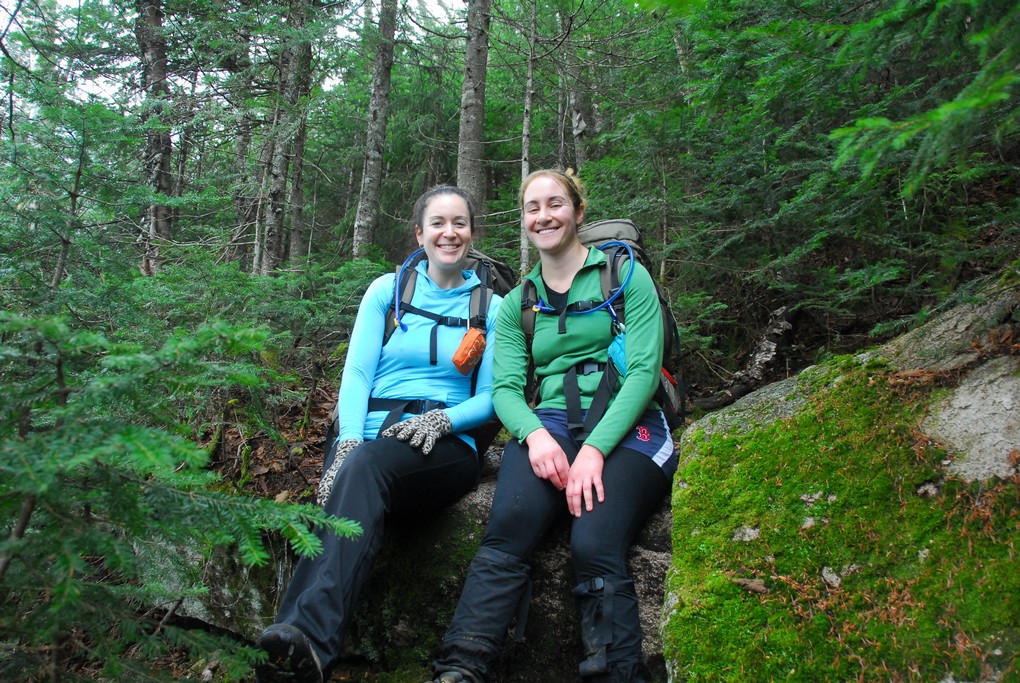
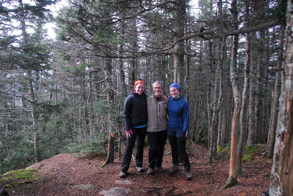
We had lunch at the north peak and also met some other people who were hiking the Tripyramids that day. We even met up with Robie, the other member of our Owl's Head hike from early October. Pam knew that he would be passing through and it was a pure stroke of luck that our paths managed to cross up there. We could not stay on north peak too long as by the time we finished eating out lunch we were all starting to get very cold.
|
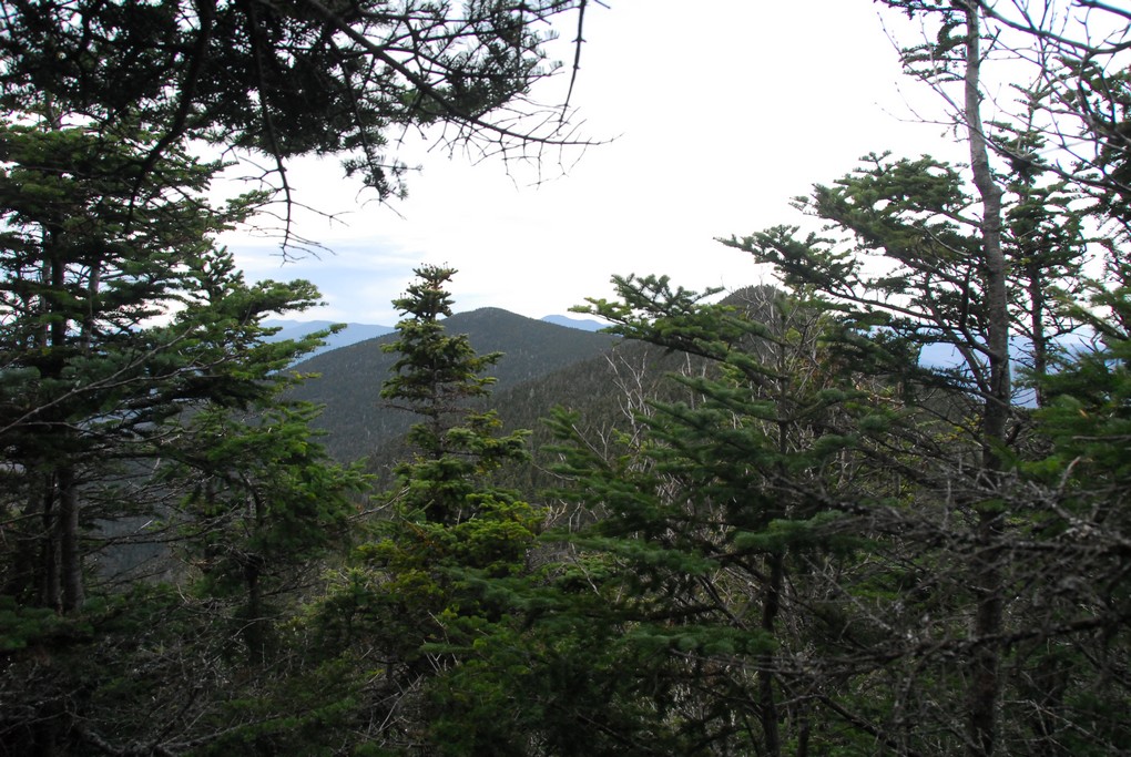
It took a little more than a half of an hour to get from the north peak to the south peak but we all managed to warm up nicely along the way. There was not so much wind once we left the north peak and that was the big problem with getting so cold up there.
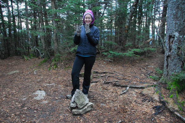
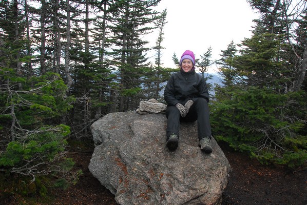
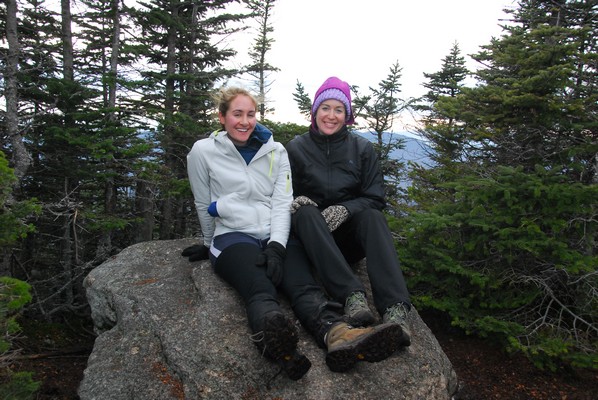
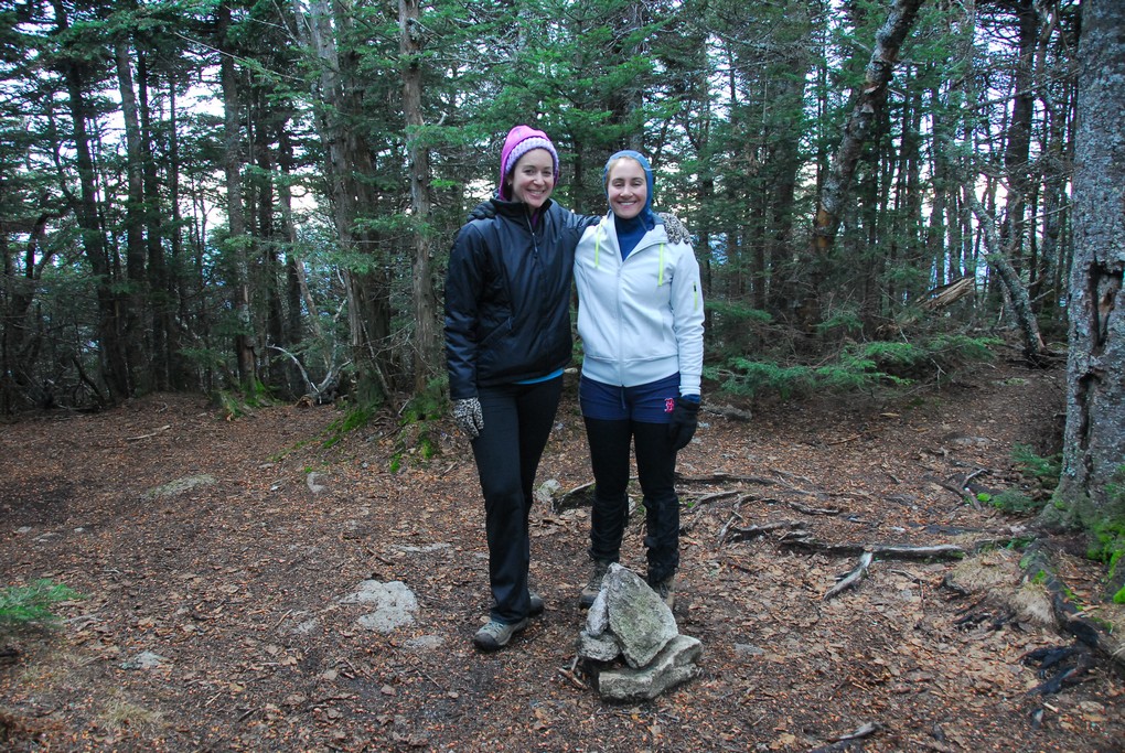
I had a major "Woops!" moment when putting togther the trip report for this hike and discovered that Tripyramid South Peak is NOT one of the official 4000-footers. It's the NORTH and MIDDLE peaks that are the official ones. It's no big deal since we stopped at the middle peak anyway but Katie's #33 photo was taken at the wrong spot, as was the one I took during my previous hike up there.
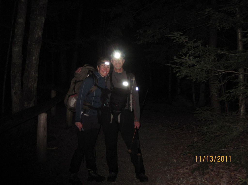
After a short stop at the middle peak for photos on the way back to the Sabbaday Brook Trail we started the hike down and we were racing against time the whole way because we knew it was going to get dark early and we really wanted to be past most of the brook crossings and on the good part of the trail before that happened. We didn't quite make it and ended up having to do the last few crossings with our headlamps. The first of these was not so bad because it was not completely dark yet but the second one was a bit of a challenge. We had a good idea of where the crossing was but finding the right rocks to do it with was not so obvious in the dark. The three of us were spread out on various rocks up and down the brook looking for he best way. I finally noticed a log on the other side and I knew we had come across that on the way in and knew there must bea path to connect to it. Katie was pretty close where she was but I found a couple of rocks a little further upstream that finally connected and provided access to the log. We still had one more crossing after that but it was an easy one. I think we bypassed a couple of crossing by staying on the east side of the brook on an older version of the trail that didn't seem to be used any longer. It was very damp and there were lots of tress down on it that we were constantly climbing over. It was running in pretty much a straight line back to the parking lot though so we decided it would be better to stick with it and avoid any unnecessary brook crossings in the dark.
|
|
|
|---|
|
|---|


