|
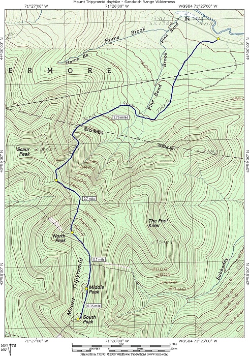
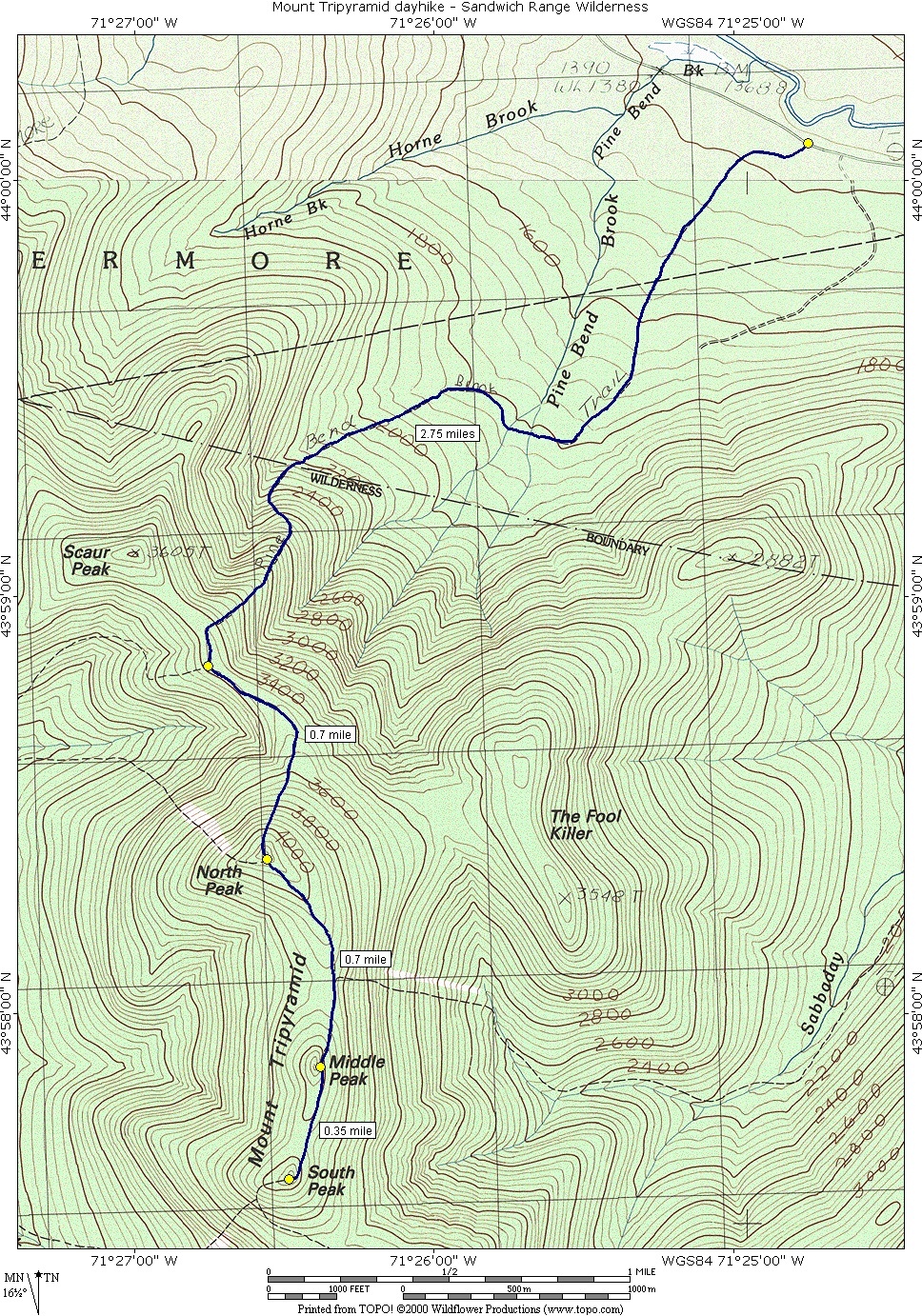
North, Middle and South Tripyramid via the Pine Bend Brook and Pyramid Loop Trails |
|---|
This day hike involved going up the Pine Bend Brook Trail to the smmmit of North Tripyramid and then taking the Plyramid Loop Trail from there to the summits of Middle Tripyramid and South Tripyramid. I returned to the parking area the same way I went up.
|
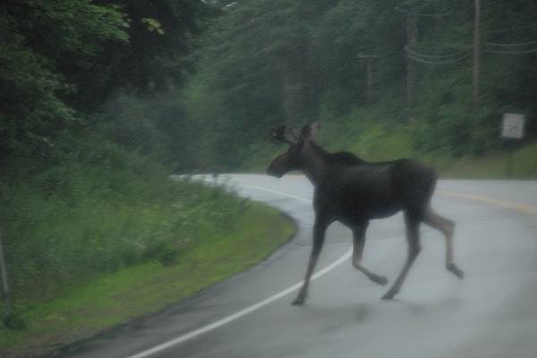
I had my first good New Hampshire moose sighting on the way to the trailhead too. I spotted one in a field off to the side of the road and I turned around as soon as I could to try and get a photo of it. Unfortunately it was just waiting for the car to pass and by the time I got back to where it was it was already starting across the road. By the time I had the camera ready it was almost to the trees on the other side and then very quickly disappeared into the forest. I did manage to get a shot off but it was not a great one.
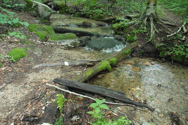
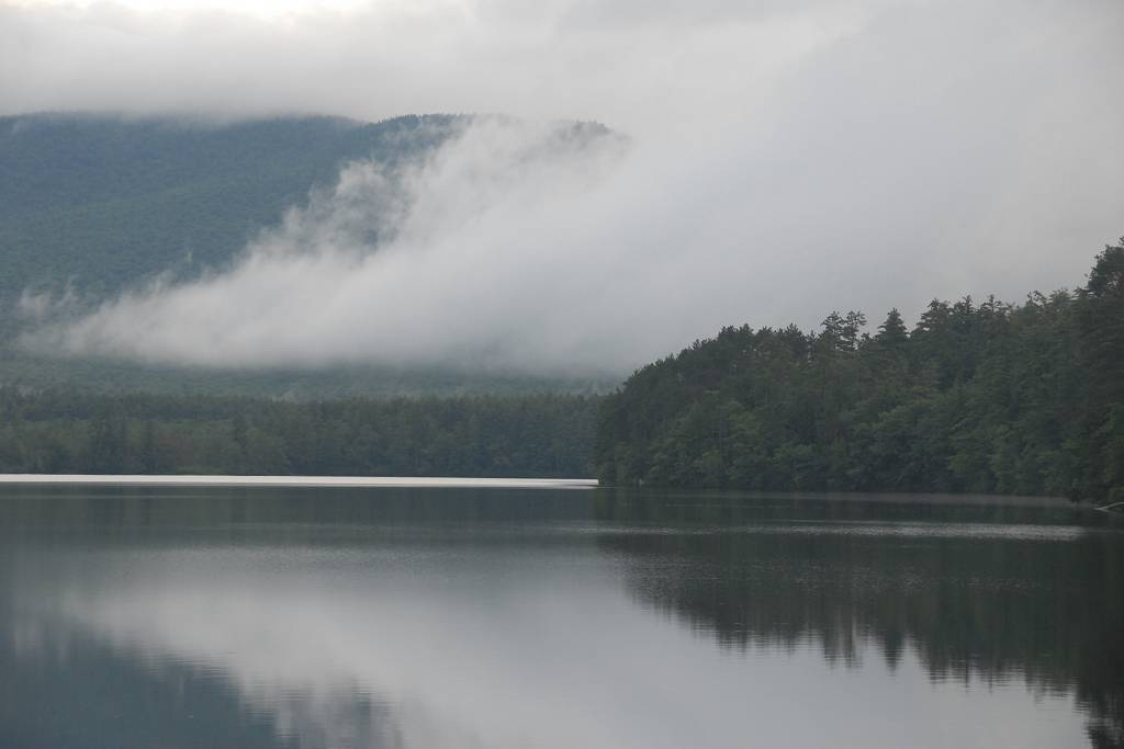
I had originally planned on doing the Tripyramid hike using the Sabbaday Brook Trail but all of the reading I had done about it said that there were numerous crossings of the brook and some were "very challenging" at high water. With all of the rain over the past week and again last night I was sure that the water was going to be very high and really did not want to attempt it. I discovered another option late on Friday afternoon and I had been thinking of doing a loop hike up Sabbaday Brook and returning via the Pine Bend Brook Trail which would come back out to the road about a mile away from the parking area. At the last minute I decided to just go up and down on Pine Bend Brook which also had a couple of stream crossings but nothing so bad as Sabbaday Brook. I stopped briefly at the Sabbaday Brook trailhead to pick up a parking pass and there was another couple there getting ready to hike and I hoped they knew what they were in for.
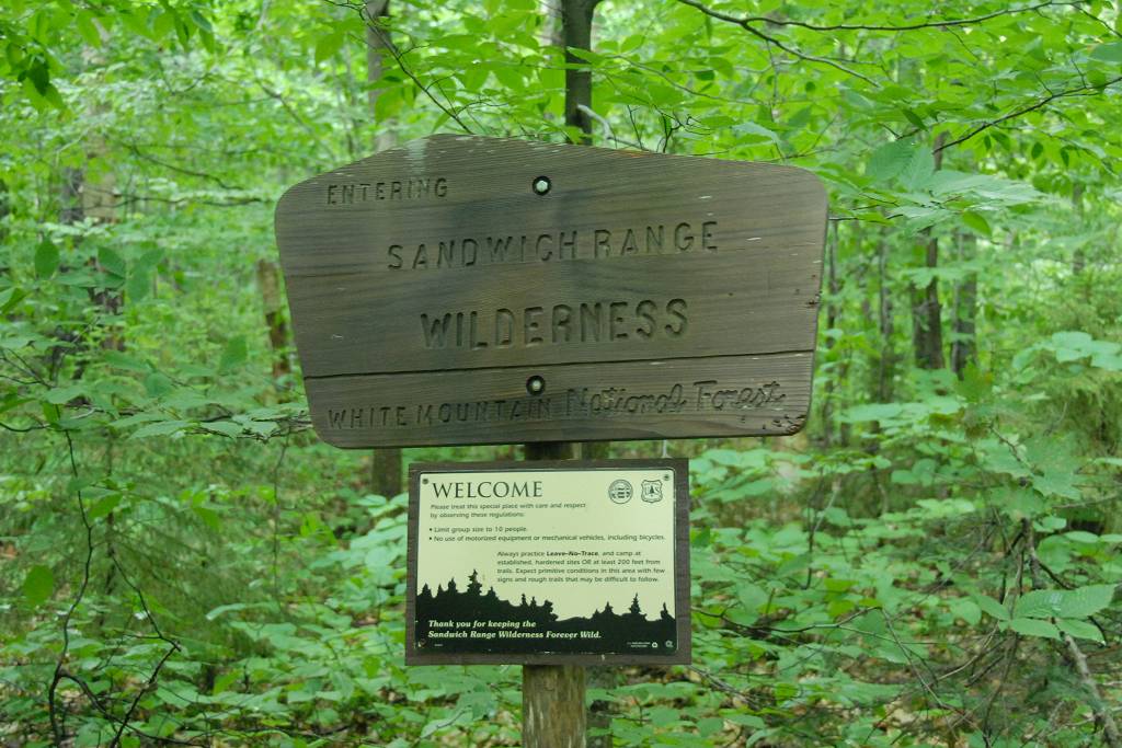
The starting point for this hike was the parking lot for the Pine Bend Brook Trail on the Kancamagus Highway (Route 112), one mile west of the Sabbaday Falls picnic area.
|
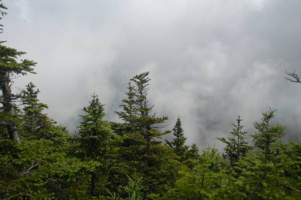
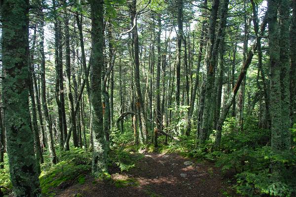
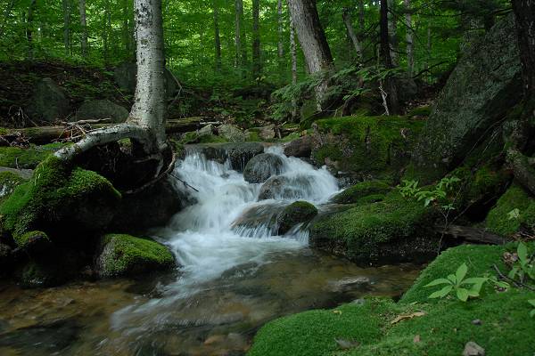
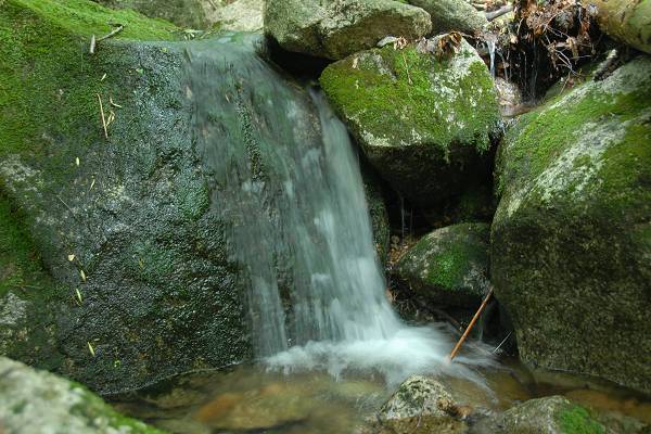
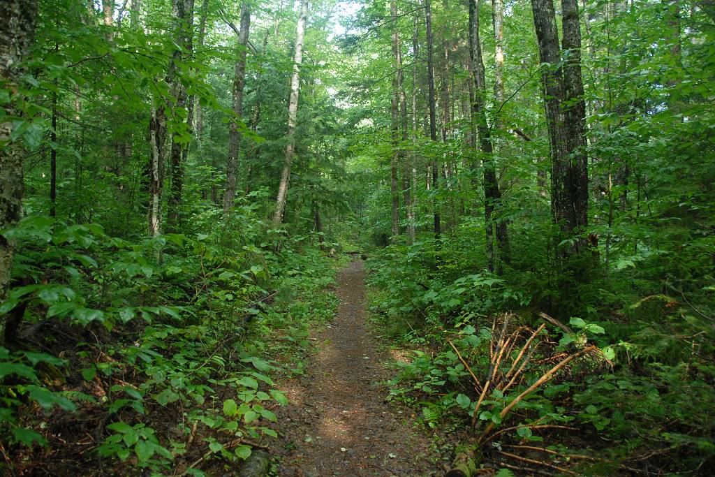
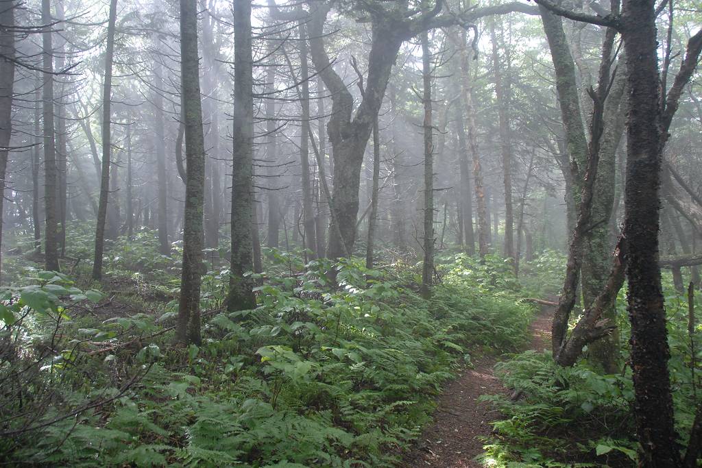
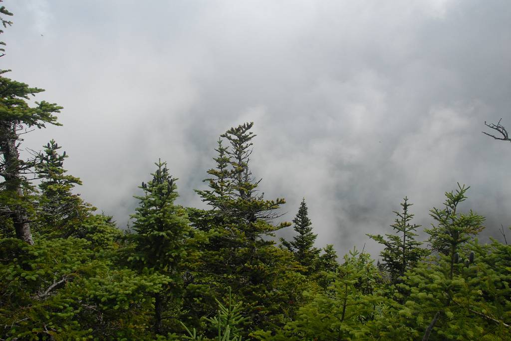
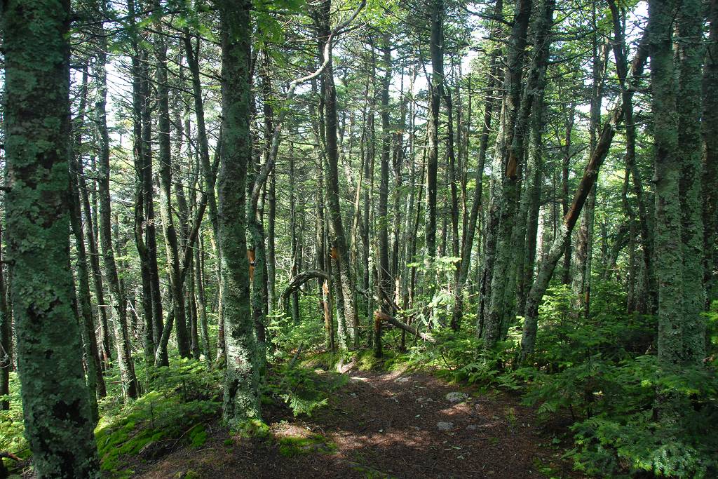
There was a small parking area at the Pine Bend Brook trailhead and there no one there yet so I took the best parking place for myself. The hike was awesome, except for a noisy group at the top of Middle Peak. I started right at 7 and made it to the top of North Peak by about 10:30. The lower portion of the trail was very nice with a very gentle grade. The middle section was a little tricky with lots of damp and slippery moss-covered boulders. The upper section was steep with many cliffs and ledges to navigate, many of these also damp and slippery from the evening's rain.
|
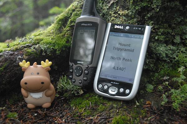
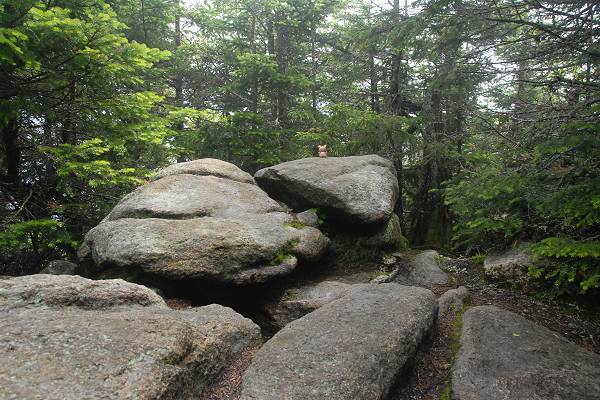
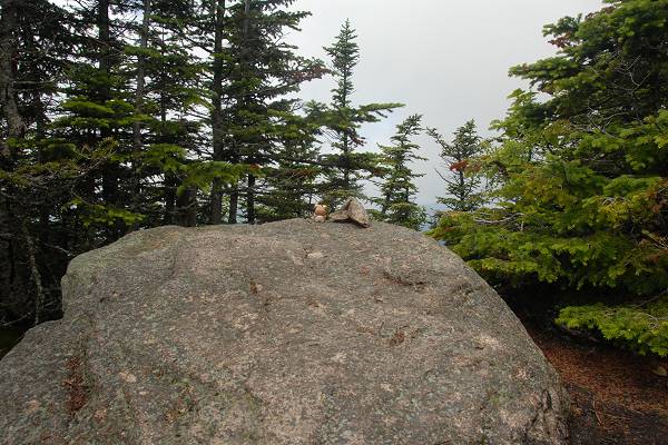
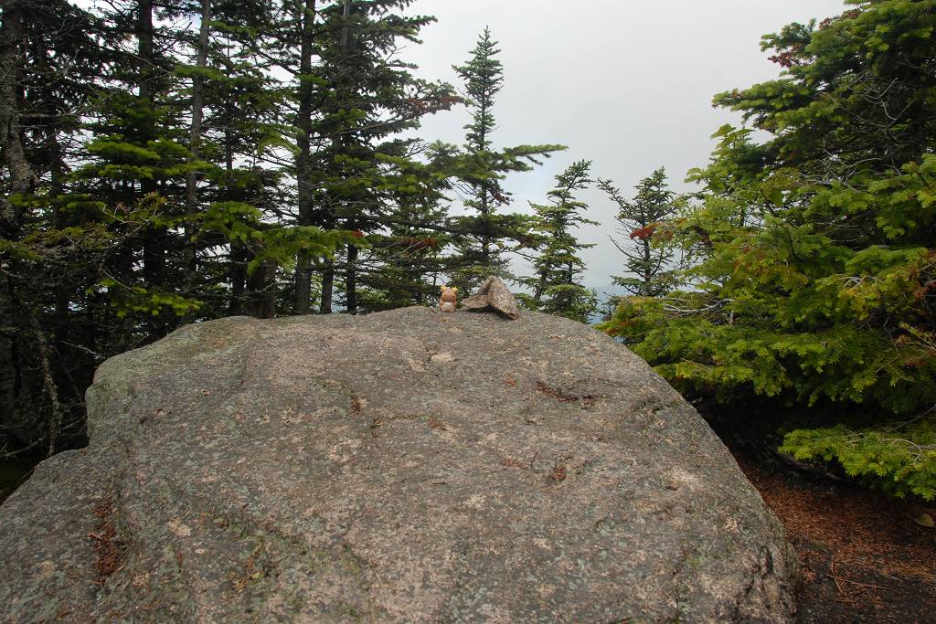
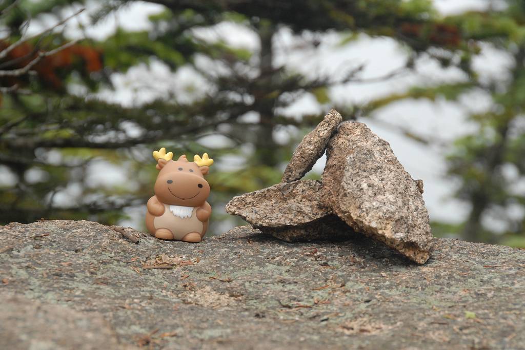
There was no marker on North Peak indicating the high spot and I managed to find two places that could potentially be high points so I took photos of each.
|
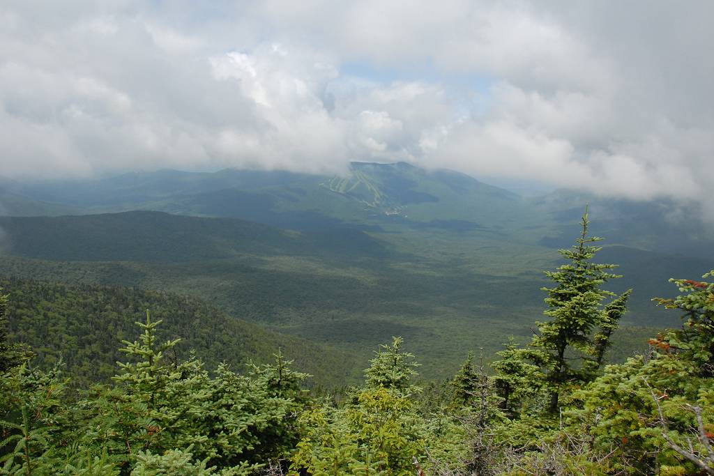
From North Peak to Middle Peak there was a descent of a couple hundred feet along the ridge and then a re-ascent with lots more damp and slippery boulders and cliffs on both sides. There was another couple on Middle Peak when I arrived there, the same couple I had seen in the parking lot at the other trailhead. They recognized me as well and wondered why I had just stopped at the trailhead and left thinking "Does he know something we don't?" They said the Sabbaday Brook Trail was awful and the water was very high. They had to take off their boots at all of the crossings (7 in all) and wade across. They said three of them were very deep and one was very close to needing to be swam. I told them that the Pine Bend Brook Trail was very nice and they decided to go back down that way and then walk the mile along the highway to get back to their car. They must be very strong hikers to have made it up as quickly as they did considering all of the stream crossings. They said they had even been on top for almost an hour before I got there and had already been to North Peak and back.
|
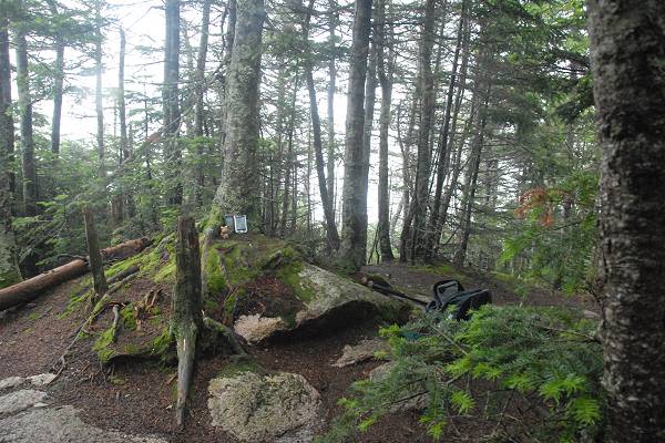
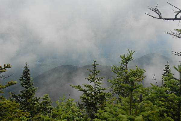
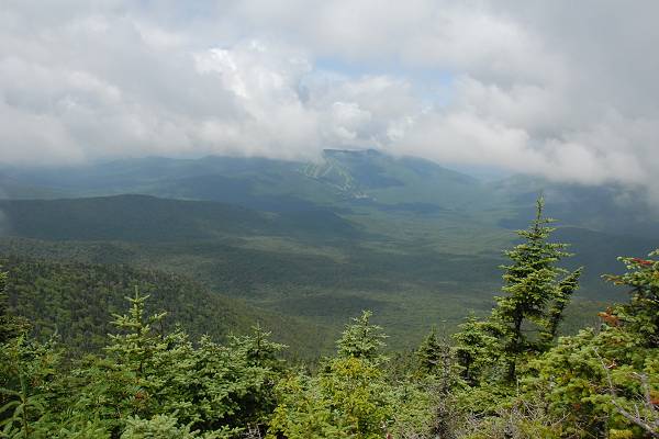
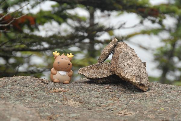
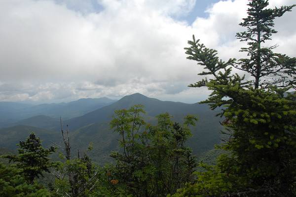
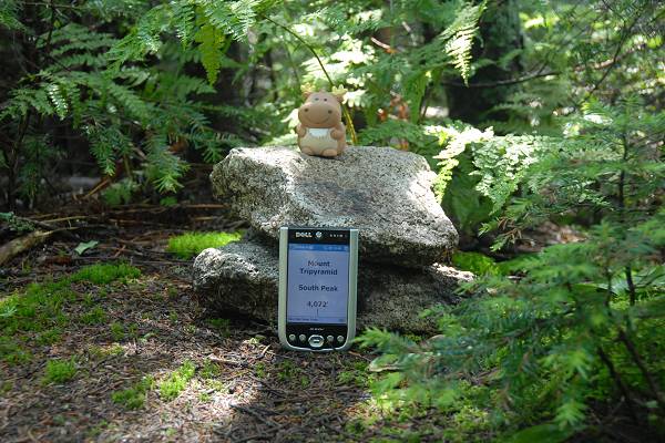
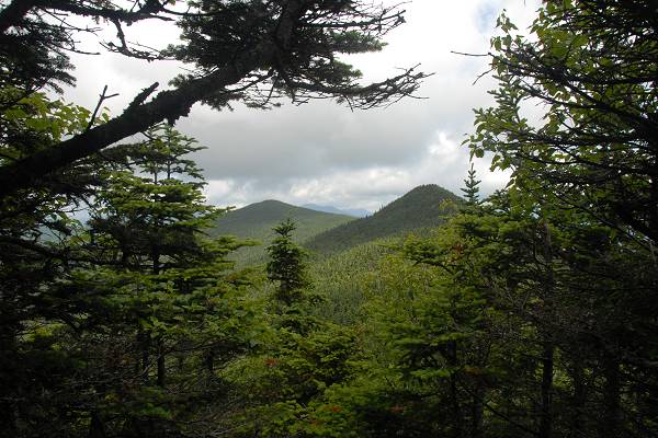
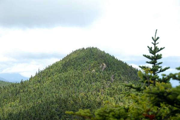
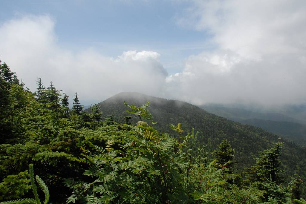
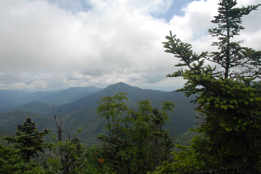
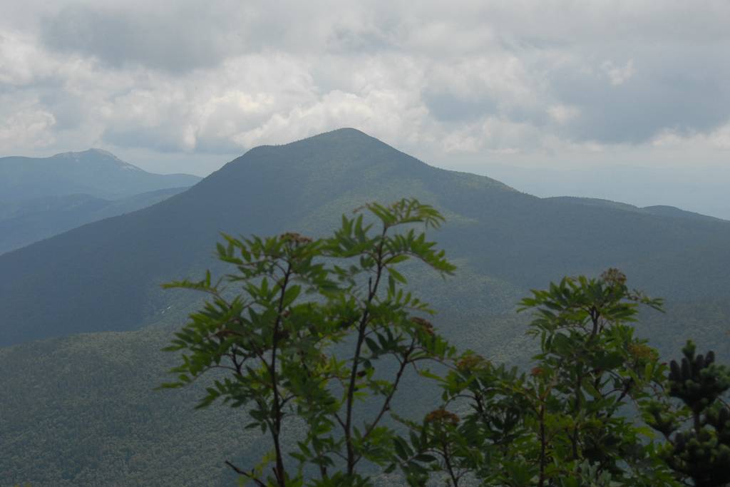
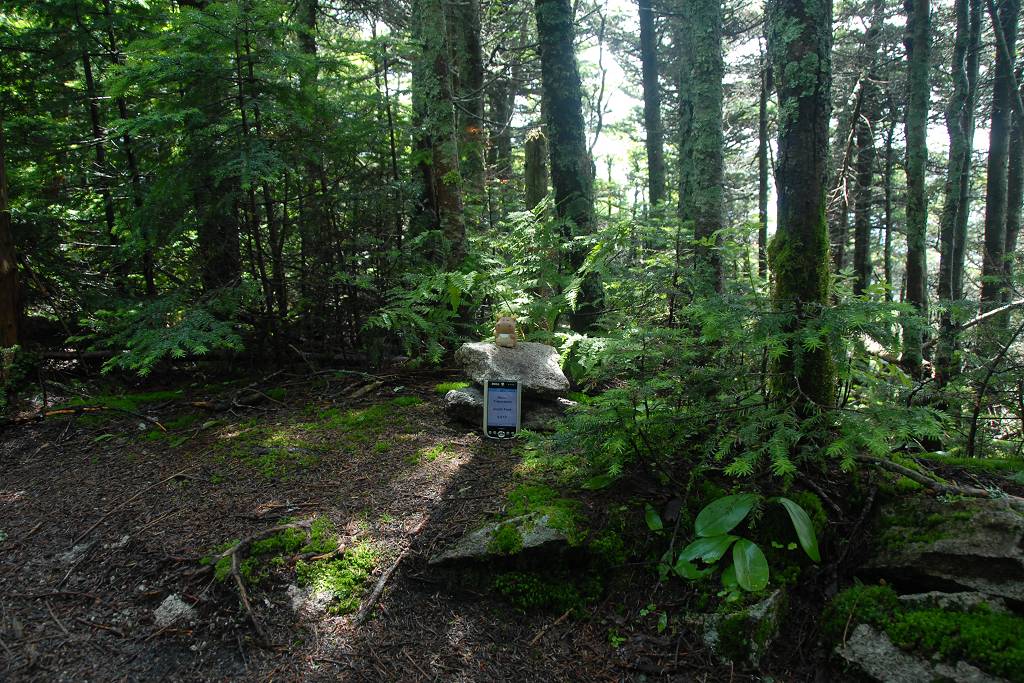
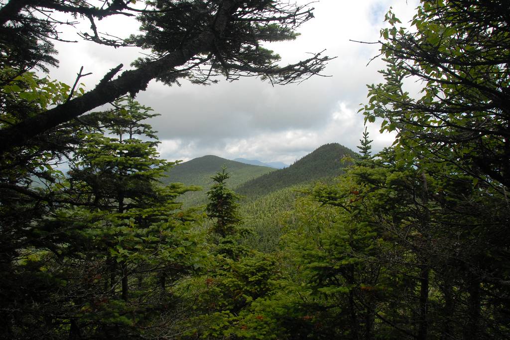
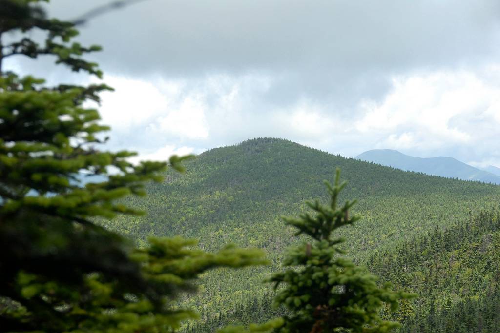
I was making good time and decided to go for South Peak as well even though it is not an official 4000-footer. It is still over 4000 feet and I wanted all of them, official or not. There were nice views from a couple of spots on Middle Peak and even a small cairn at the high point. I took a few photos and then headed for South Peak. South Peak had no views and no marker so I did not stay there long. I made a small cairn (duck?) of my own, took a few photos and then headed back to Middle Peak for lunch.
|
When I got back to Middle Peak the couple was gone but there were a few other groups there already. All of the good view points were taken, the best by a very noisy and unruly group of 6 or 7 hikers, so I just found myself a good place to sit down and have my lunch. The noisy group was really annoying me though and I just wanted to finish and leave as soon as possible. I don't like loud people in the backcountry... I like peace and quiet so I can listen to nature and these people destroy that experience for everyone around them.
I finished lunch and was on my way down by around 1 pm. I stopped briefly on North Peak again, because it was nice and quiet, and also to set a waypoint in my GPS for where the car was located. I really love the new GPS and it has a feature that calculates not only the distance to your waypoint but also calculates an ETA based on your average hiking speed. When I left the top of North Peak it was giving me an ETA back at the car of about 4:20 and I didn't think I would make it back to Meredith in time for dinner.
|
The top part of the trail was very slow and the ETA got worse falling to 4:30 at one point. Once I hit the lower portion and picked up speed it started improving though and finally homed in on around 3:35. The waypoint I had set was a little off from where the car actually was and I got to it around 3:30. I did not stop at all on the way back and managed to get back to the house with about 5 minutes to spare, just enough time to chance into some clean clothes.
|
|
|---|
|
|---|


