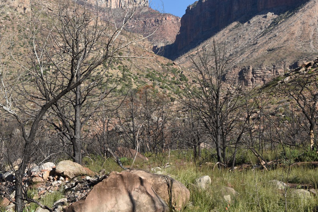
Hiking through another burn area - Upper Nankoweap Creek
Hiking through another burn area - Upper Nankoweap Creek
( 600 x 400, 189K )
Download larger version, 1024 x 683, 422K
Google maps link for 36 15 57 N, 111 55 50 W (NAD27)
[
Grand Canyon Home
|
South Rim trails
|
North Rim trails
|
Trip reports
]
Copyright
©
Bob Ribokas, 1994-2025, all rights reserved. This publication and its text and photos may not be copied for commercial use without the express written permission of
Bob Ribokas
.


")


 - Upper Nankoweap Creek (photo by Janice)")
")


")
")
")


")


 - Upper Nankoweap Creek (photo by Janice)")
")


")
")
")