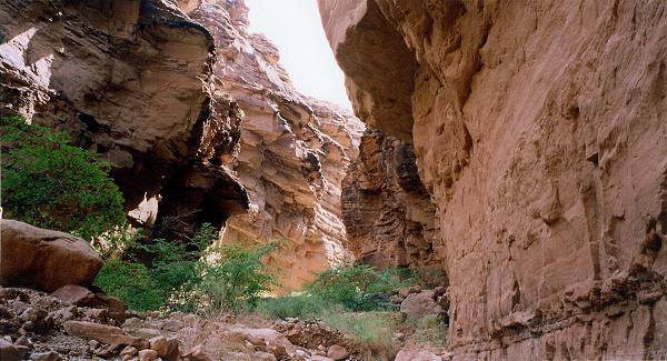
Upper fork in mid-section of East Clear Creek, eastern branch
Upper fork in mid-section of East Clear Creek, eastern branch
( 600 x 325, 54K )
Download larger version, 1200 x 650, 175K
Google maps link for 36 6 36 N, 111 59 24 W (NAD27)
[
Grand Canyon Home
|
South Rim trails
|
North Rim trails
|
Trip reports
]
Copyright
©
Bob Ribokas, 1994-2025, all rights reserved. This publication and its text and photos may not be copied for commercial use without the express written permission of
Bob Ribokas
.