|
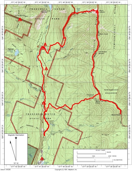
Franconia Ridge day hike: Mounts Lafayette, Lincoln, Liberty & Flume |
|---|
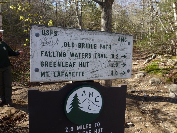
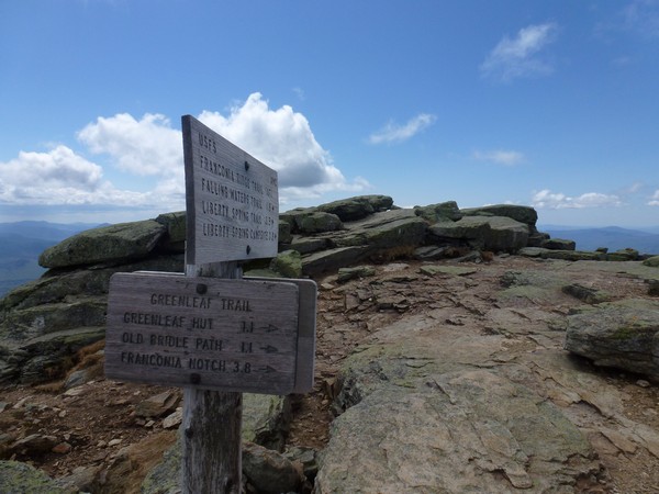
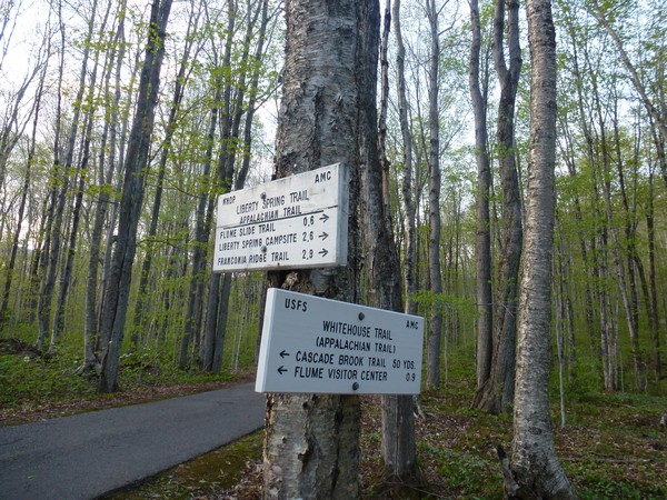
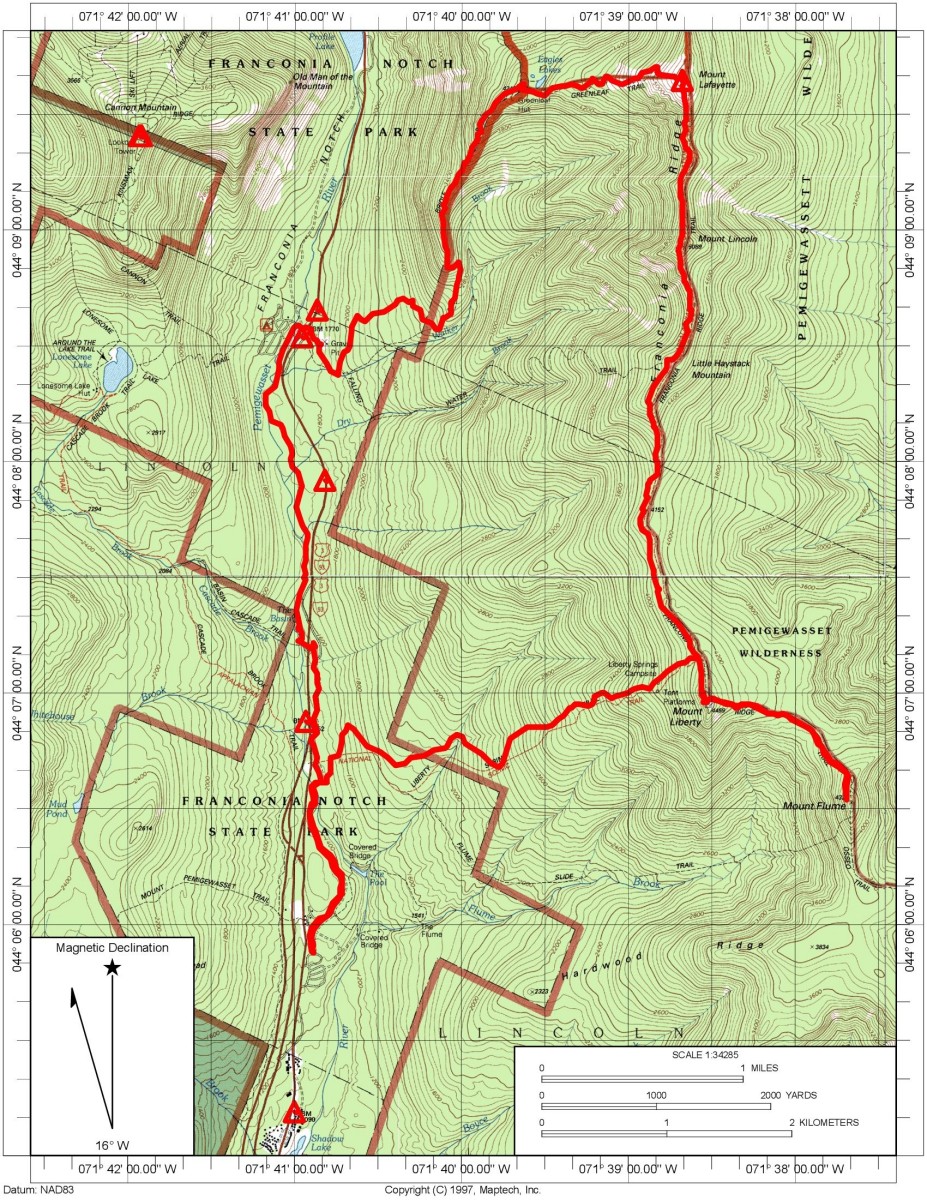
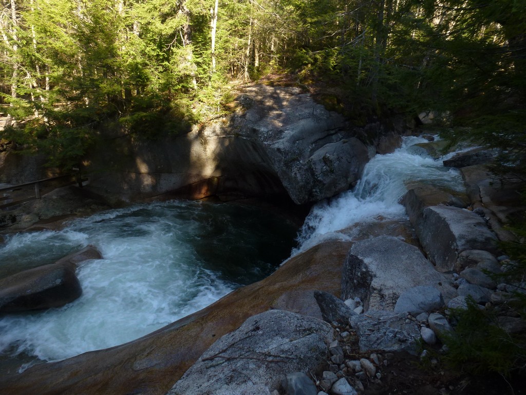
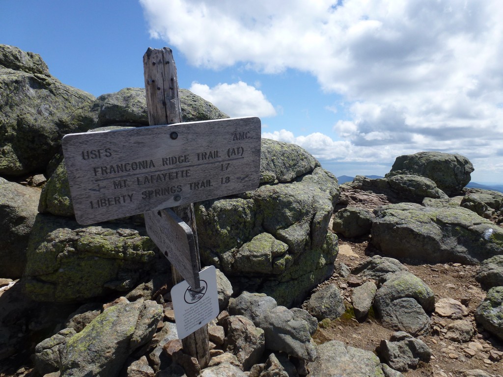
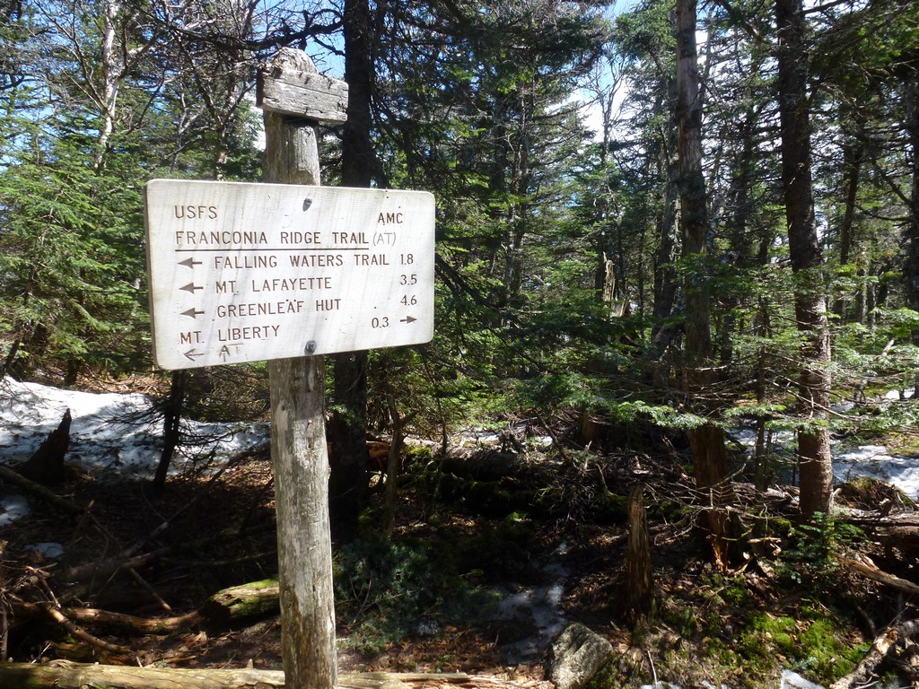
This day hike started at the parking lot for The Flume Visitor Center off of Interstate 93 (Franconia Notch Parkway) in Lincoln, New Hampshire. From there I took a recreational path north along Cascade Brook and past The Basin and finally to Lafayette Place/Camground. I crossed back under Franconia Notch Parkway to the other side and the trailhead for the Old Bridle Path and Falling Waters Trail. From the there I took the Old Bridle Path to the Greenleaf AMC hut. From the hut I took the Greenleaf Trail to the summit of Mount Lafayette and then the Franconia Ridge / Appalachian Trail to the summit of Mount Lincoln. From there I continued south over Little Haystack Mountain and thn along the ridge to Mount Liberty. From Mount Liberty I went along the ridge to Mount Flume annd then back to Mount Liberty. I descended via the Liberty Springs Trail back to the Whitehouse Trail back to the parking area.
|
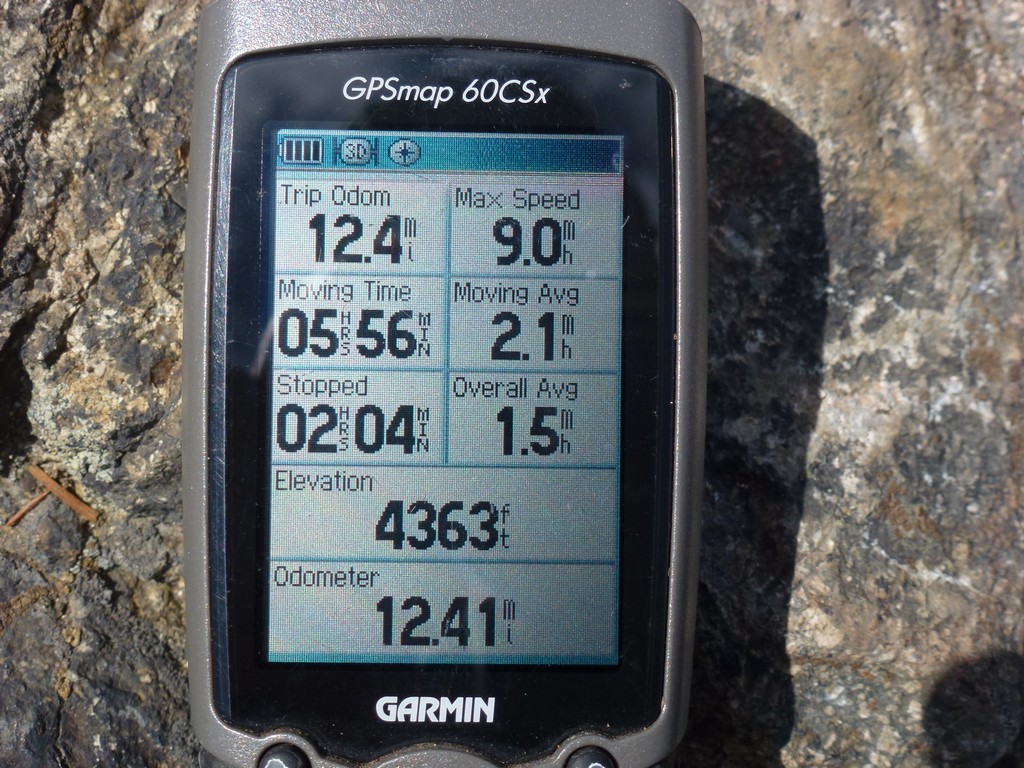
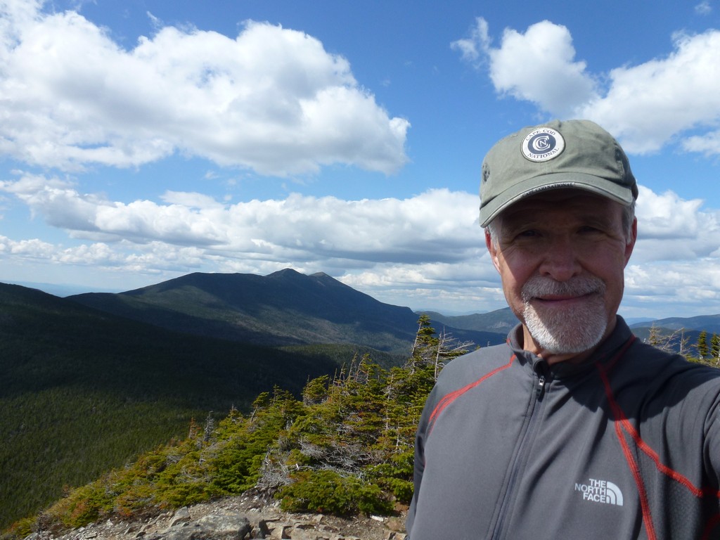
I started this hike at the north end end of the parking lot for the Flume Visitor Center off of Franconia Notch Parkway (I-93) in Lincoln, New Hampshire. Mounts Layfayette, Lincoln, Liberty and Flume would be numbers 9, 10, 11 and 12 for my New Hampshire 4000-footer spring list.
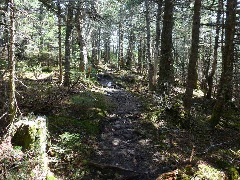
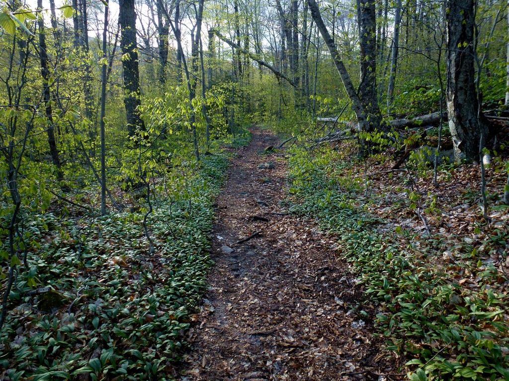
I left my house at 4:00 and after a quick stop at the Dunkin' Donuts in Lincoln for breakfast was on the trail right around 7:00. From the parking area I actually followed a recreational trail/bicycle path to the trailhead for the Old Bridle Path and Falling Waters Trail. I didn't know how long this was and originally estimated it at about 3 miles but it ended up being closer to 4.
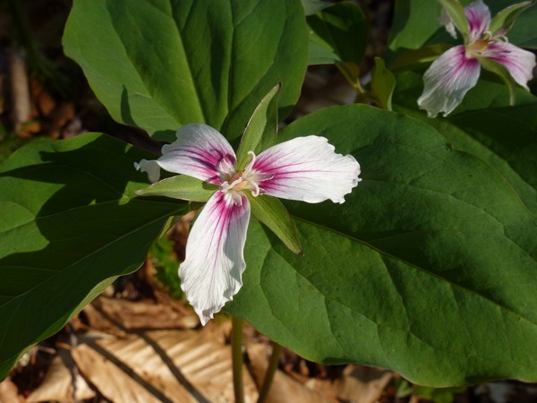
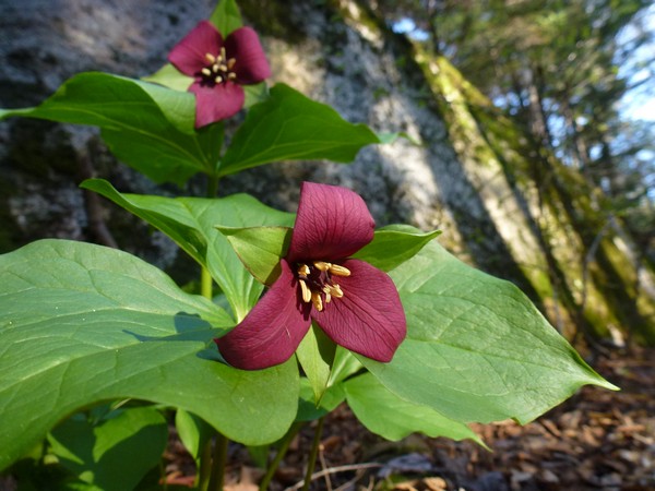
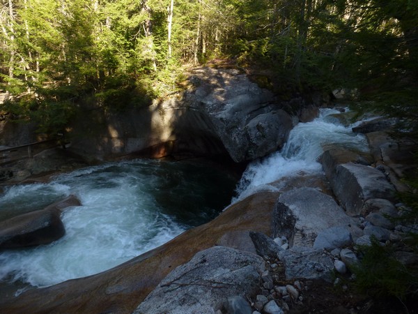
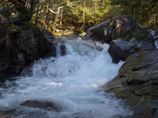
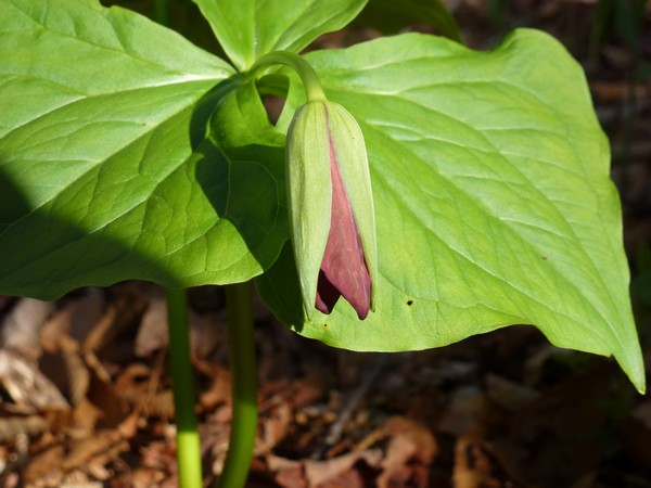
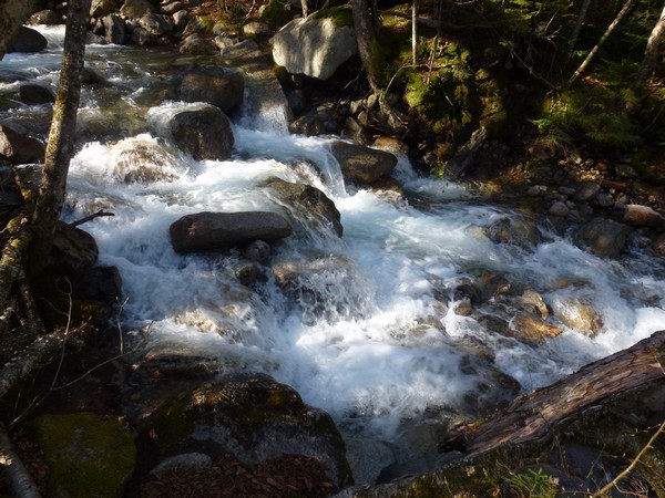
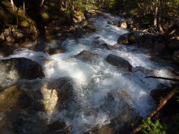
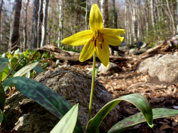
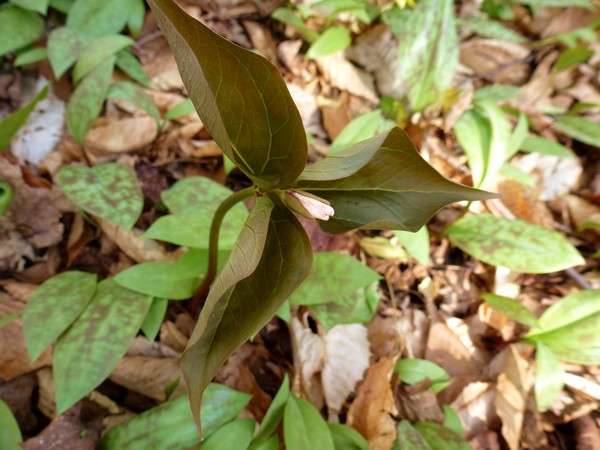
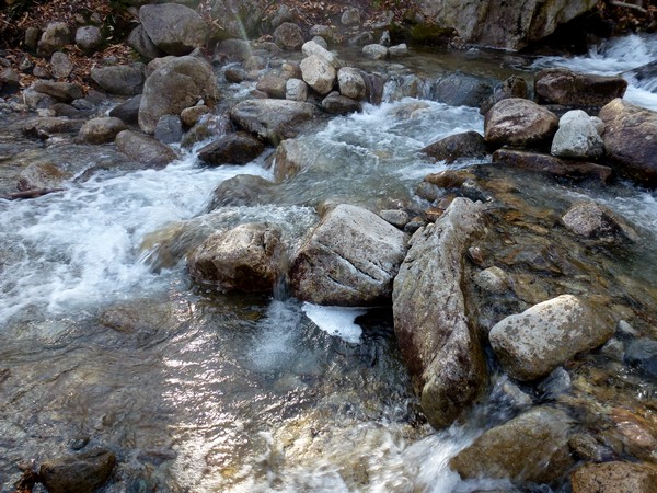
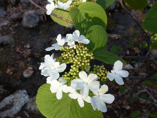
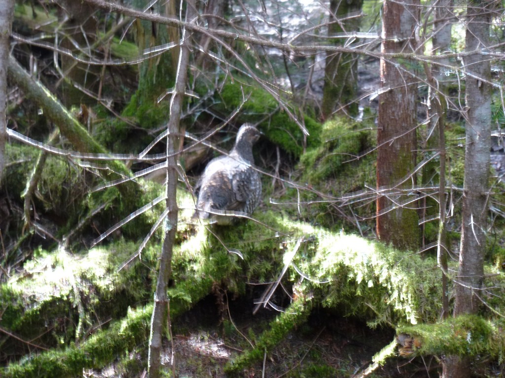
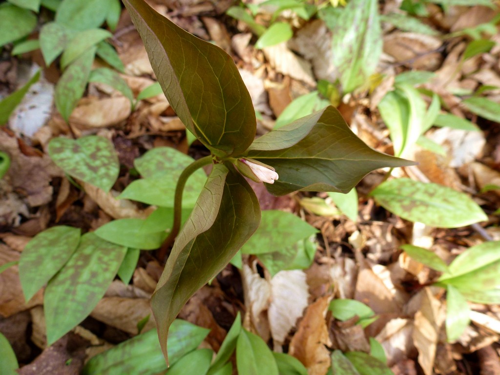
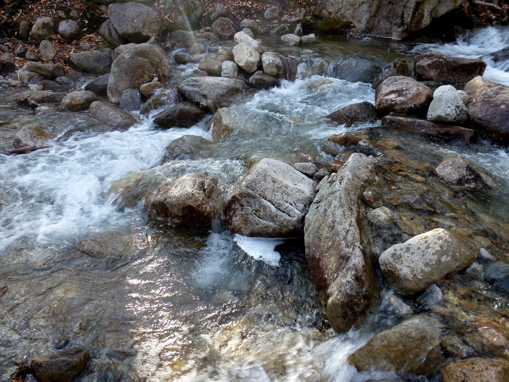
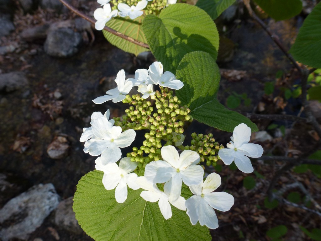
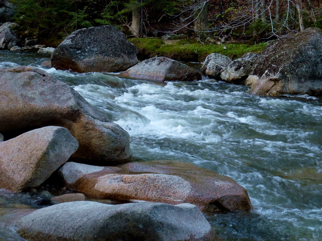
It was a beautiful morning with temperatures in the mid 40s at the start and the sky was almost completely clear. There was lots of both painted and red trillium in bloom along the trail which was very pretty. A portion of the trail runs along the Pemigewasset River and also goes past The Basin which I don't think I have visited in many years.
|
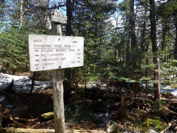
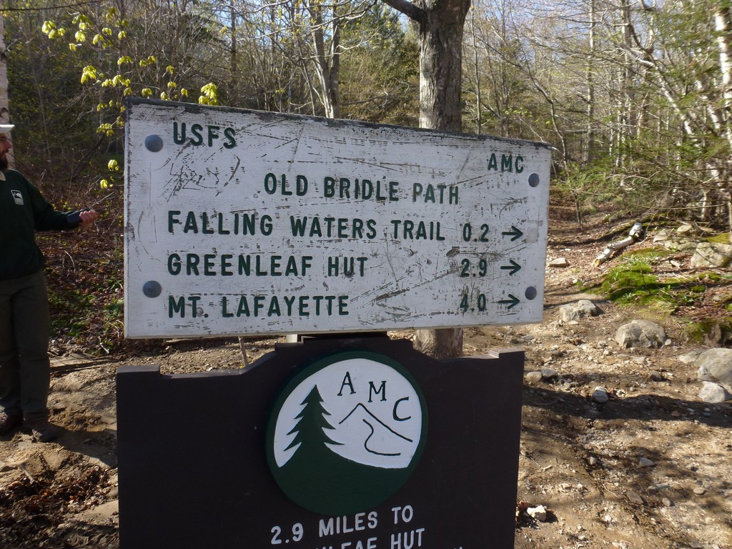
After the trail reached Lafayette Place/Camground I had to cross back under I-93 again to get to the start of the Old Bridle Path. I took a little less than 1½ hours to go from the Flume Visitor Center parking lot to the actual start of the trail.
|
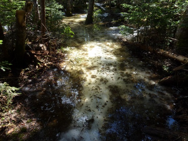
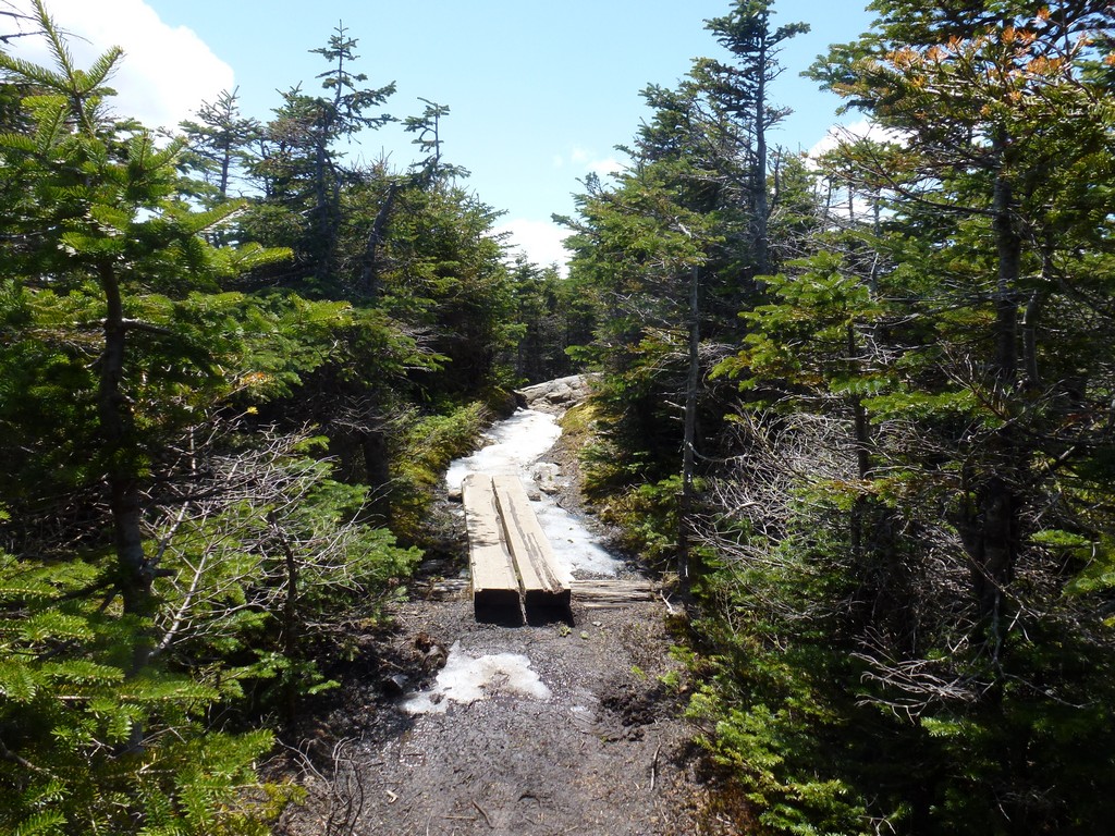
The lower portion of the trail was extremely washed out from some very heavy rains the prior day and there was already a ranger out there trying to make some repairs in the most badly damaged sections. Apparently Walker Brook had overflowed its banks and took over the trail which pretty much desimated it. Once the trail passed the spot where the Old Bridle Path and the Falling Waters Trail split and the trail started to climb away from the brook everything was fine.
|
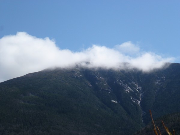
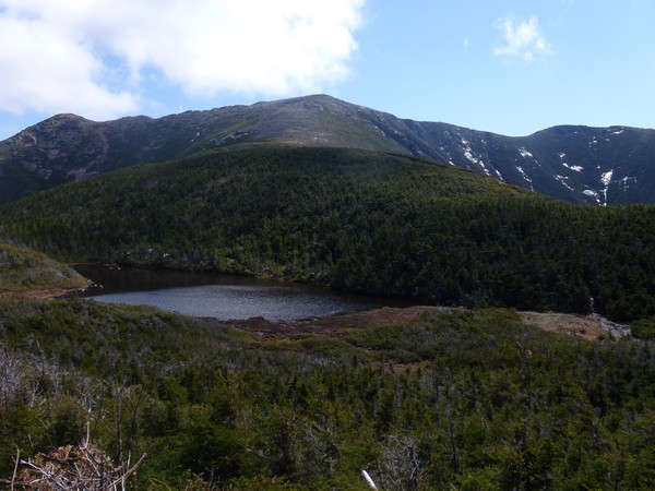
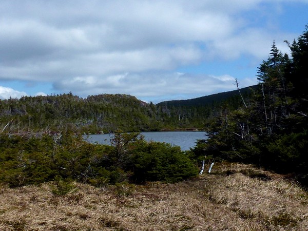
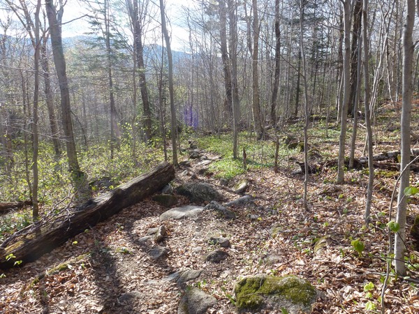
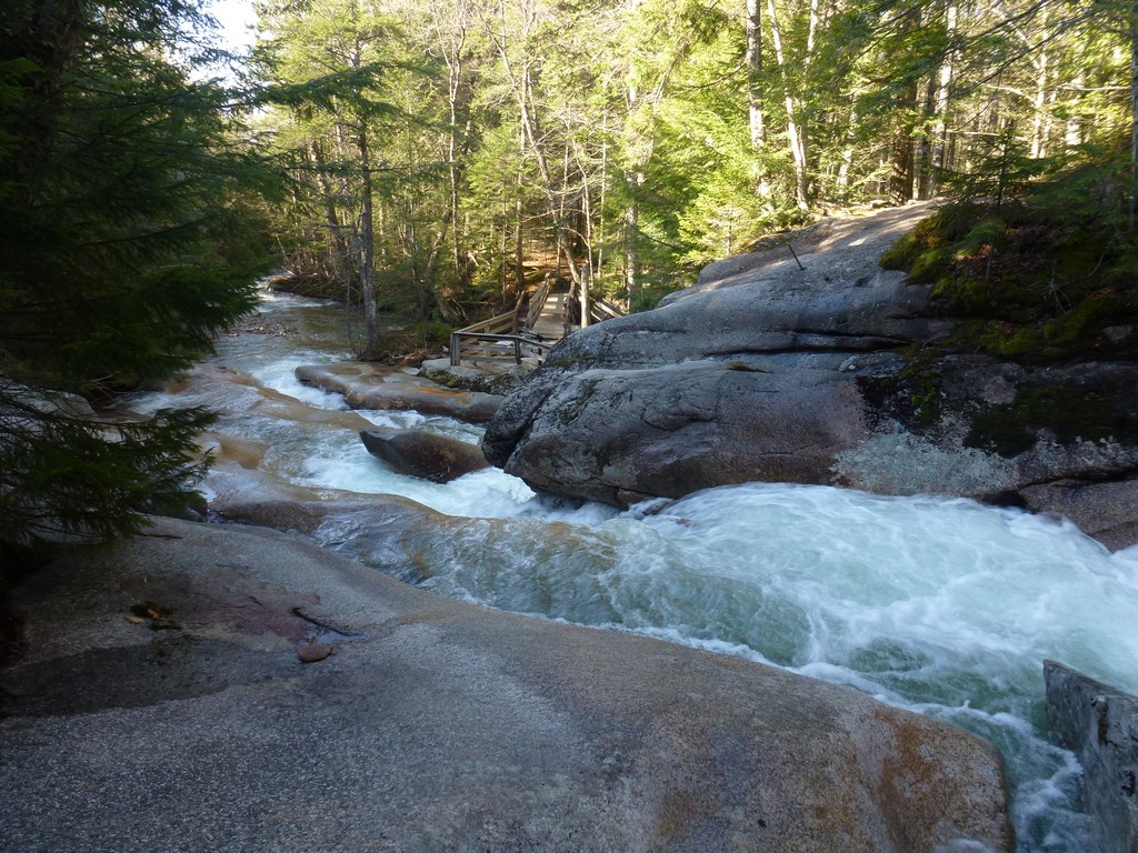
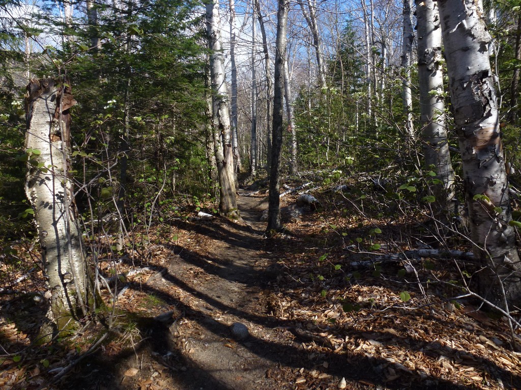
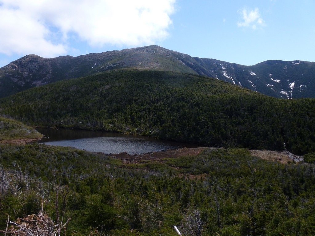
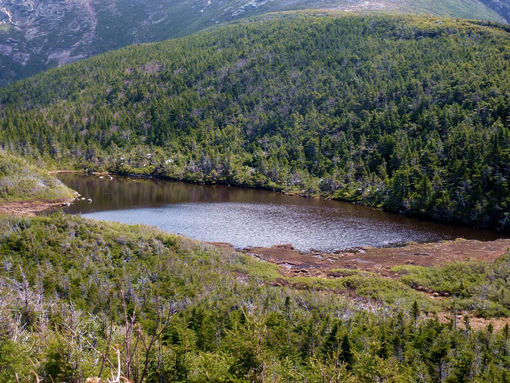
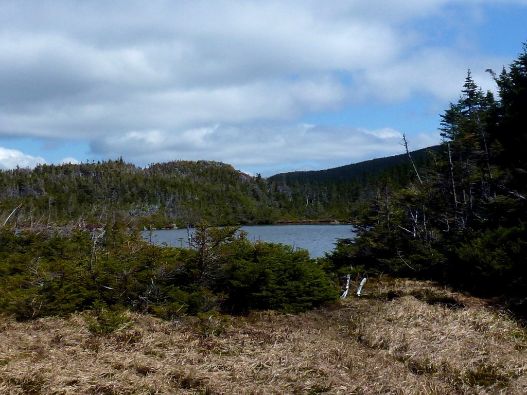
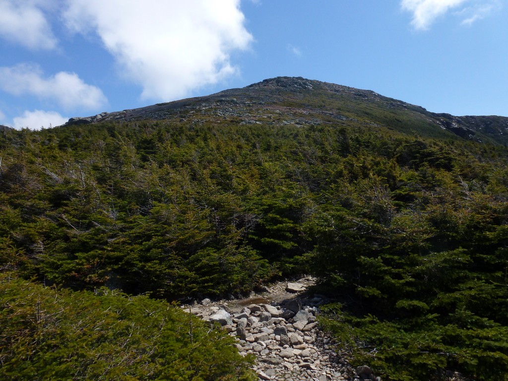
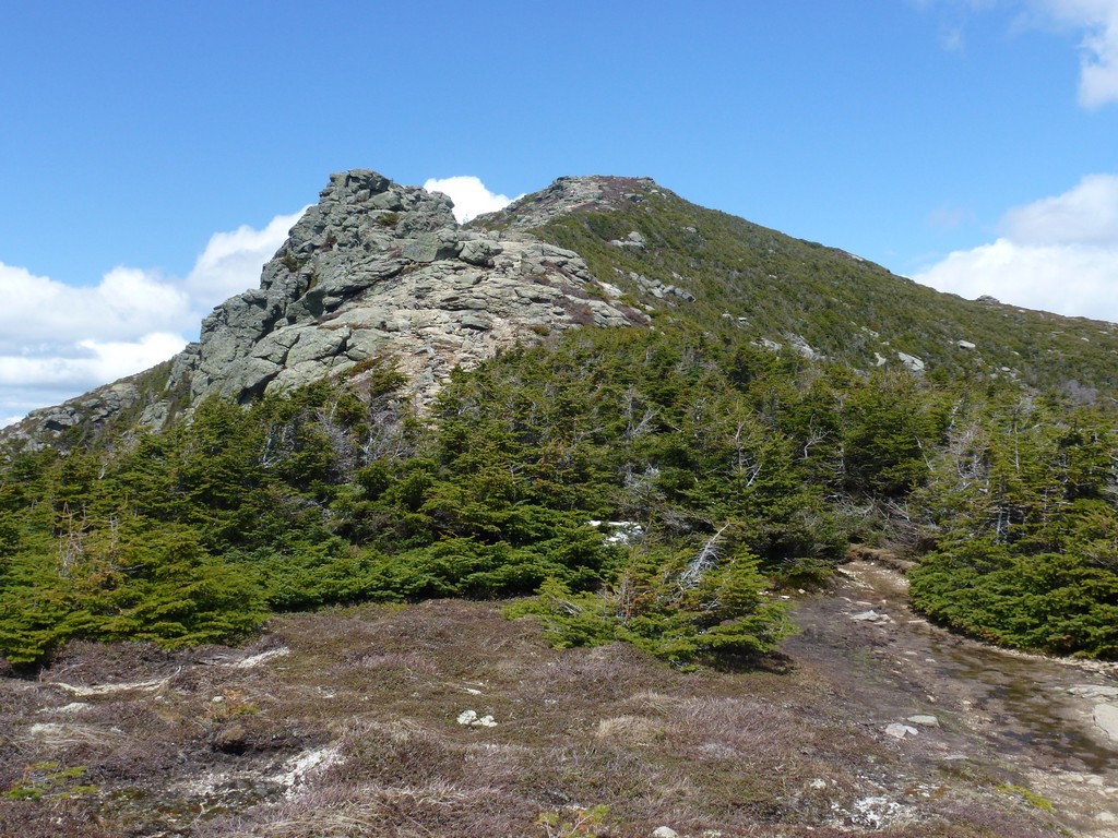
It took it about an hour to get through the lower forest section of the Old Bridle Path before I broke out onto the ridge where the great views are. There were some clouds blowing over the ridge the leads up to the Greenleaf AMC hut that made for some spectacular views. Occasionally one of the clouds would blow up and over Mount Lafayette as well.
|
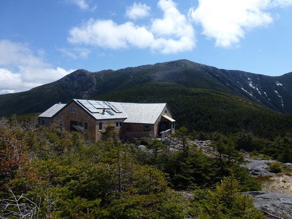
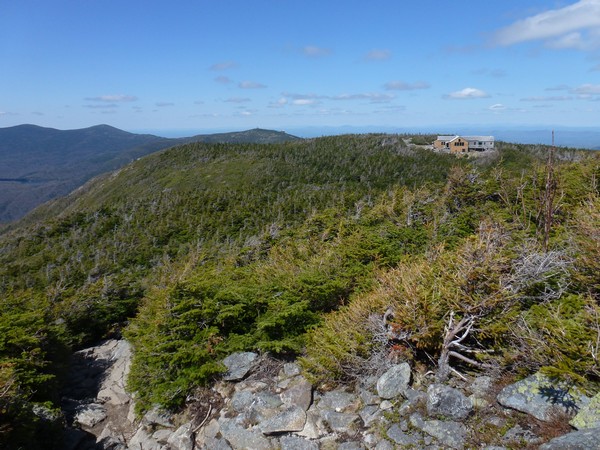
I started to encounter a little ice and then some broken monorail in the upper portions of the trail as it got closer to the hut. After about 2 hours on the trail and 3½ hours from the parking area I finally made it to the Greenleaf AMC hut. I stopped in at the hut to eat my second breakfast and guzzle down some water before continuing on up to Mount Lafayette.
|
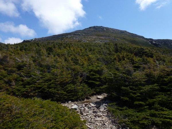
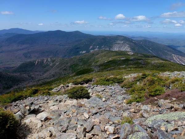
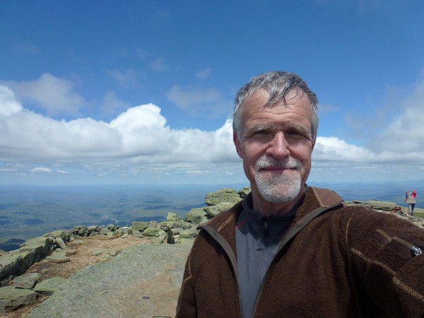
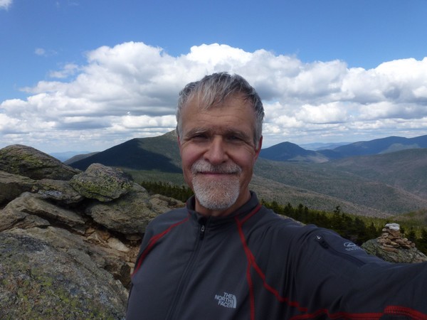
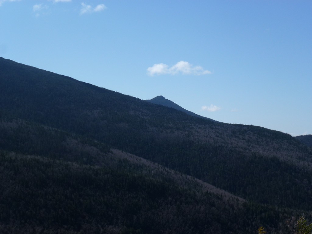
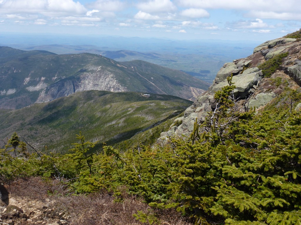
The views from the trail leading up to the summit where spectacular and it was nice to be able to look over to Cannon Mountain, Lonesome Lake and the Kinsmans where I had been hiking the weekend before. There was quite a bit of wind on the slopes leading up to Mount Lafayette and had to break down and put my fleece on as soon as I reached the summit.
|
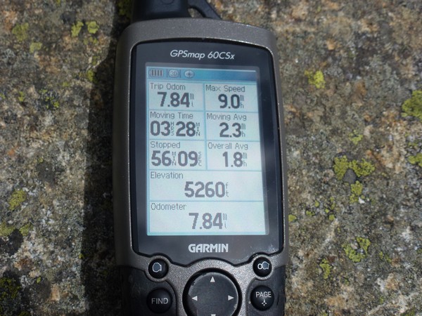
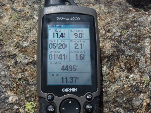
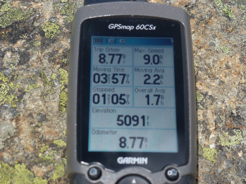
It was right around 11:30 and 4½ hours into the hike by the time I made it to the summit of Mount Lafayette. The distance traveled was already close to 8 miles which I figured was about half of the miles for the day already behind me. There would not be any more major elevation change along the ridge and the rest of the day should be pretty easy.
|
I talked with a couple of other hikers on top of Mount Lafayette for a short time but did not stay there long before taking off for Mount Lincoln.
|
It only took a little more than a half on an hour to go from the Mount Lafayette summit to the Mount Lincoln summit. Most of the wind went away as soon as I started down Mount Lafayette unless I got too close to the west side of the ridge.
|
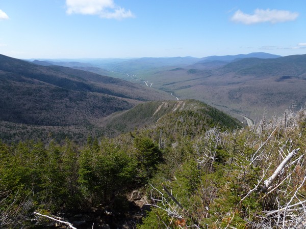
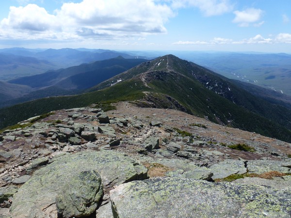
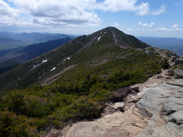
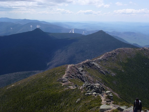
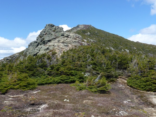
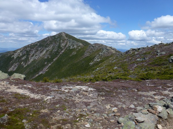
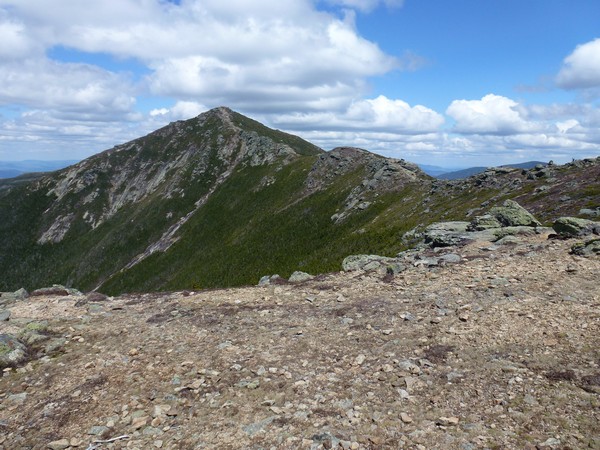
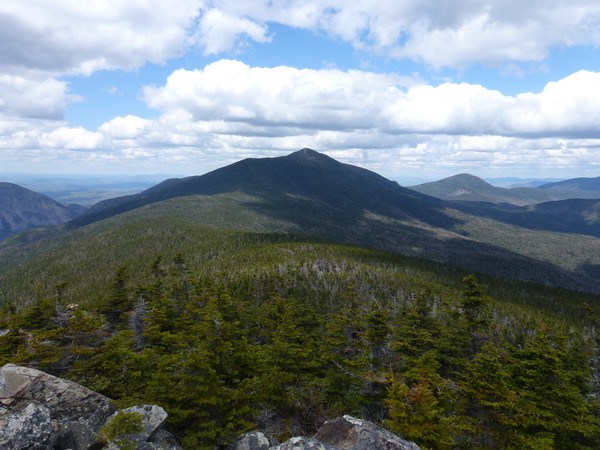
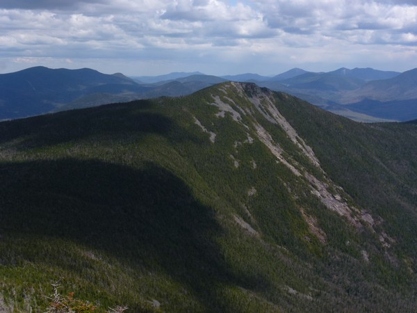
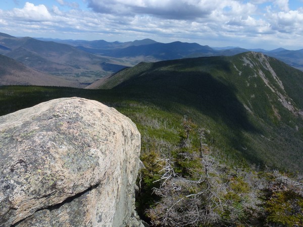
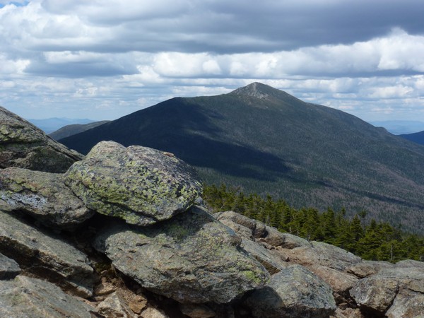
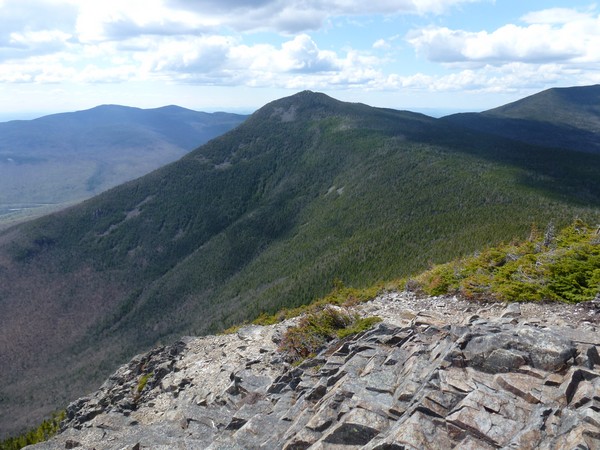
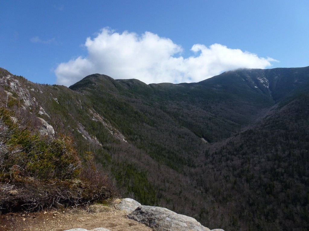
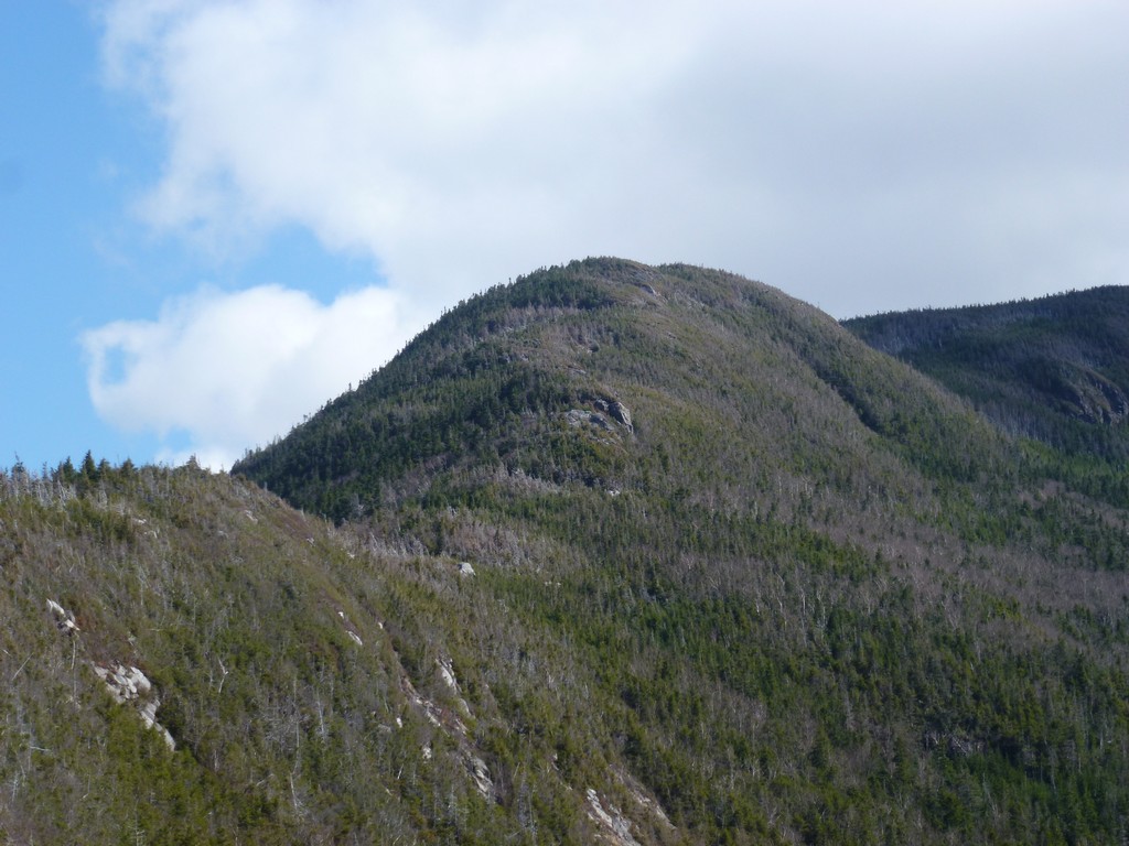
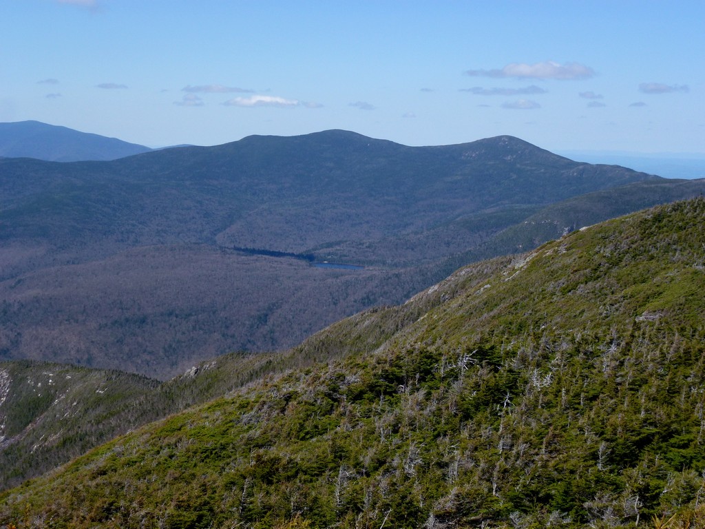
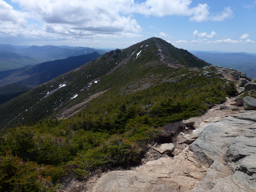
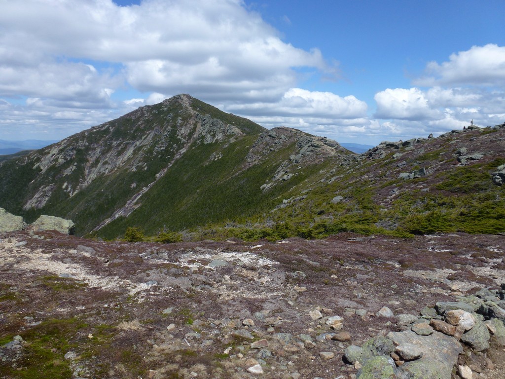
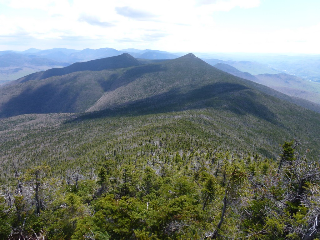
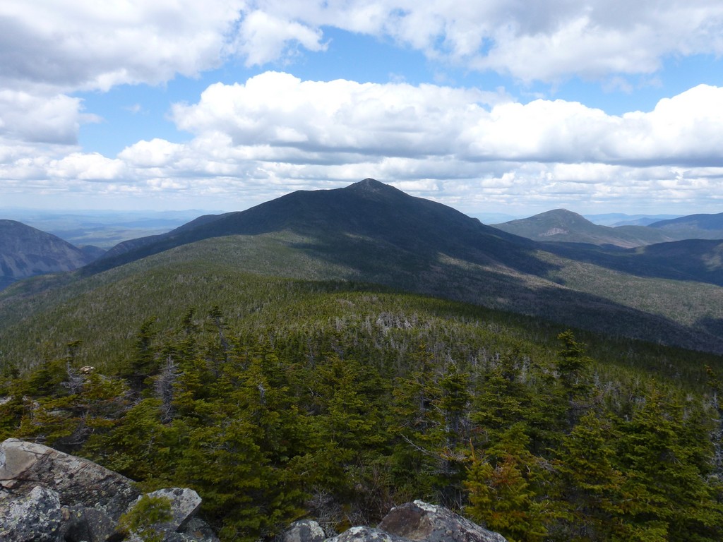
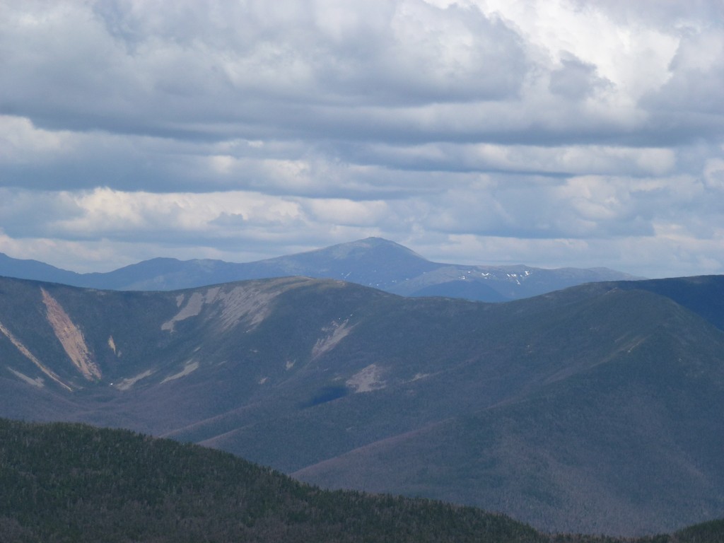
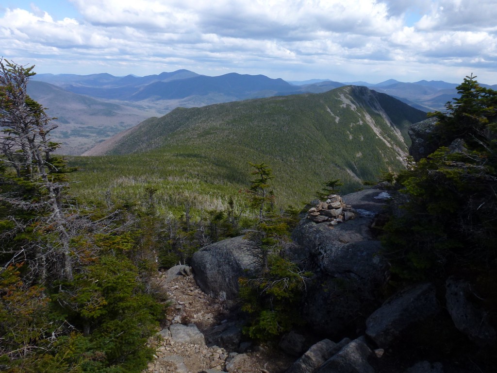
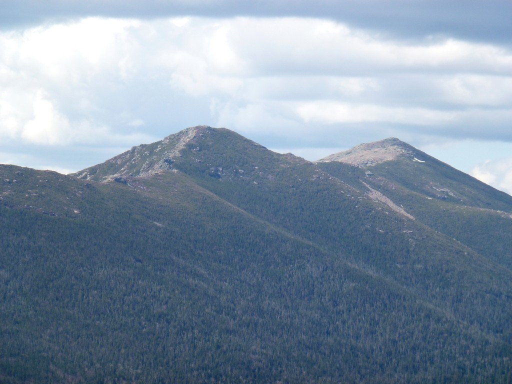
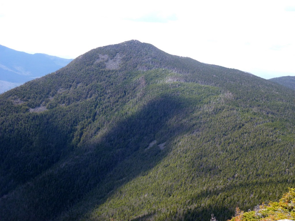
I had some spectacular views of Mount Liberty, Mount Flume and the hike to come from the south side of Mount Lincoln. It was already after noon and I had been thinking about stopping to each lunch but finally decided it was still too early and I would wait until I got to Mount Liberty. I still to go over Little Haystack Mountain and the summit of Mount Lincoln was about 2½ miles away.
|
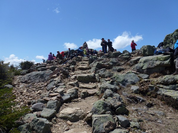
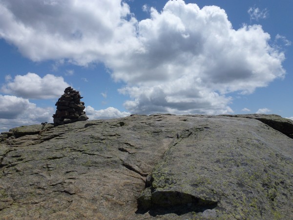
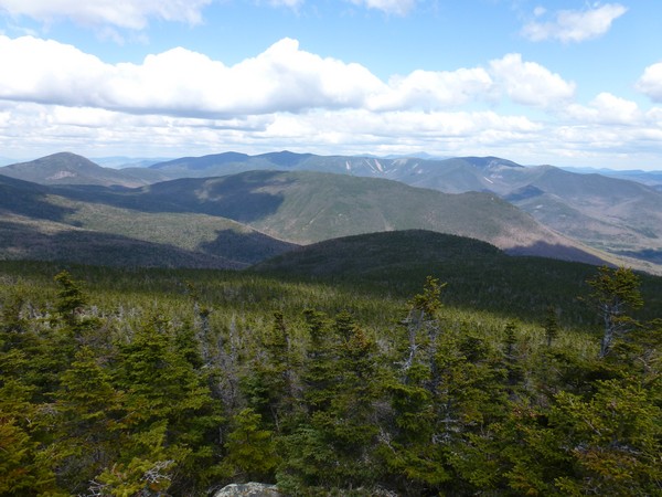
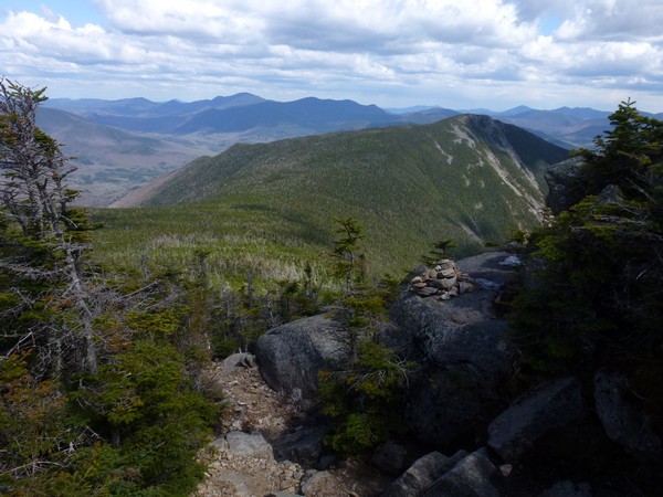
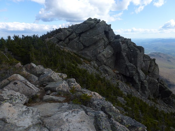
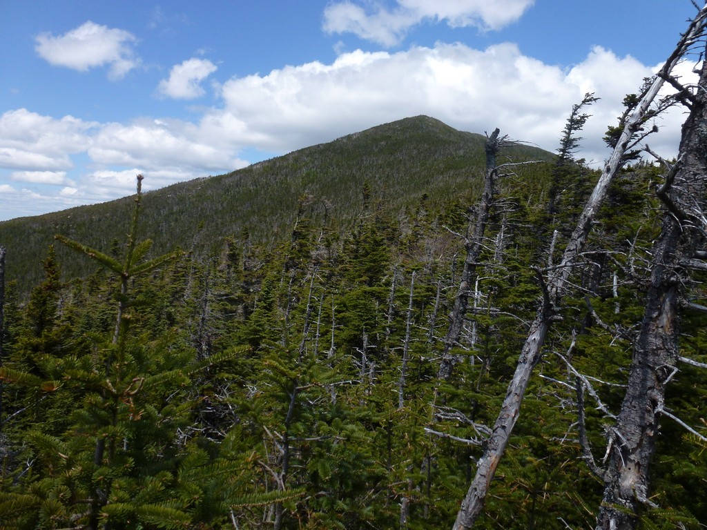
There was the usual mob of people on top of Little Haystack Mountain and I did not linger there long at all. I just took a few photos and kept on moving. Mount Liberty and Mount Flume were finally starting to look a lot closer though.
|
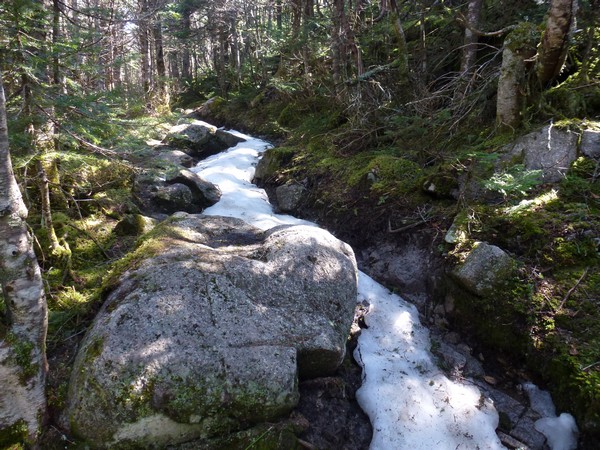
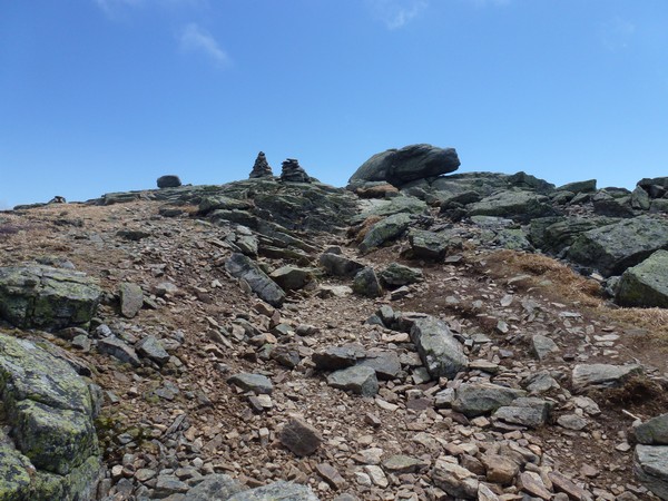
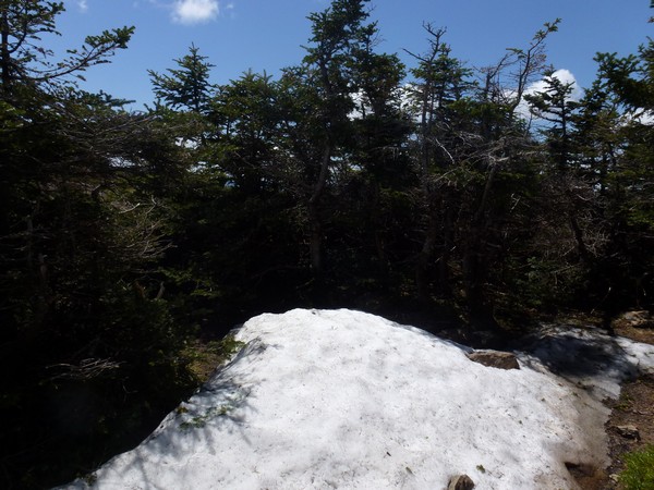
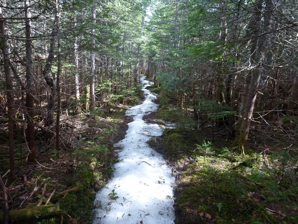
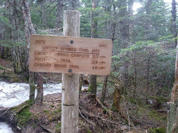
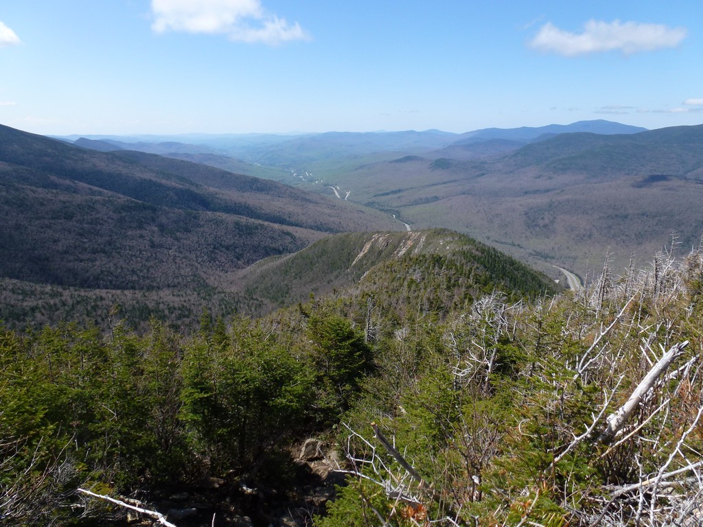
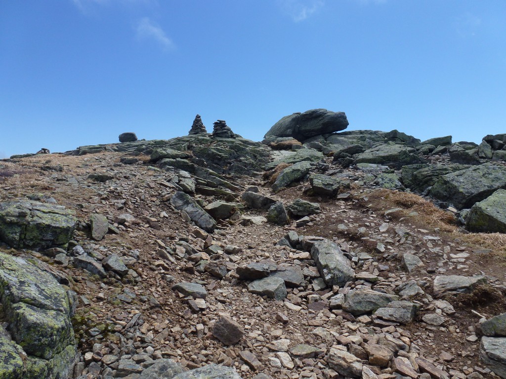
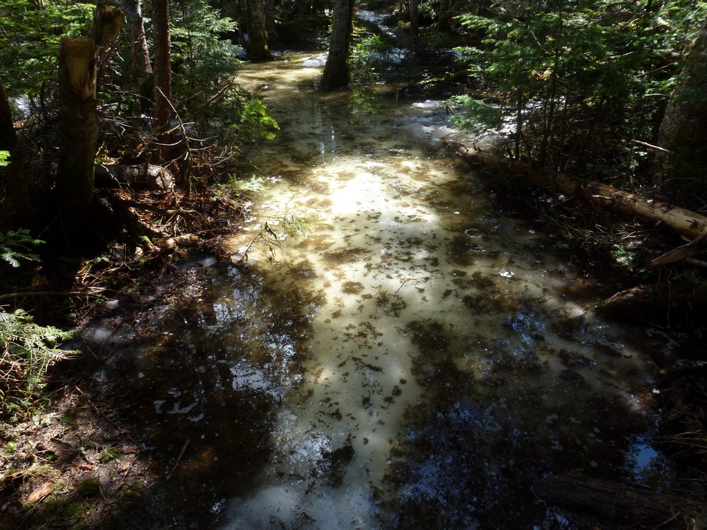
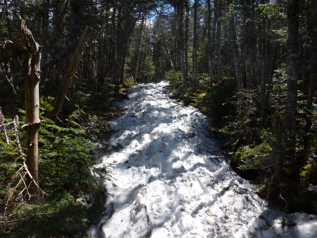
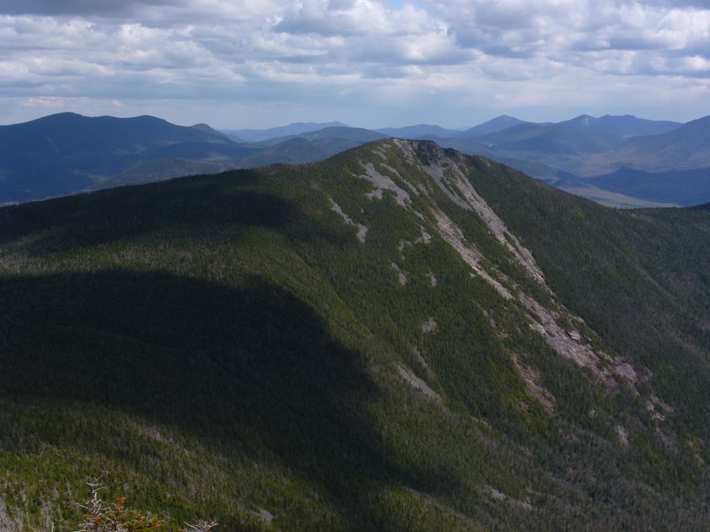
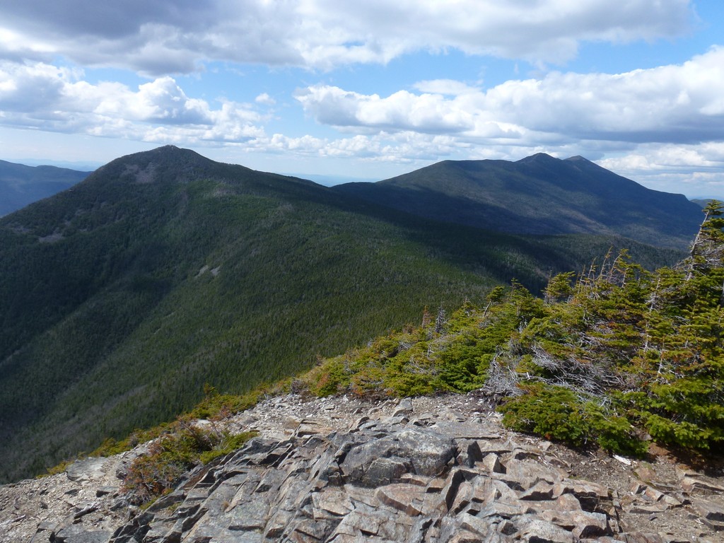
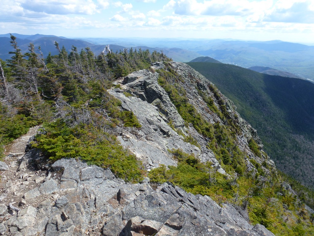
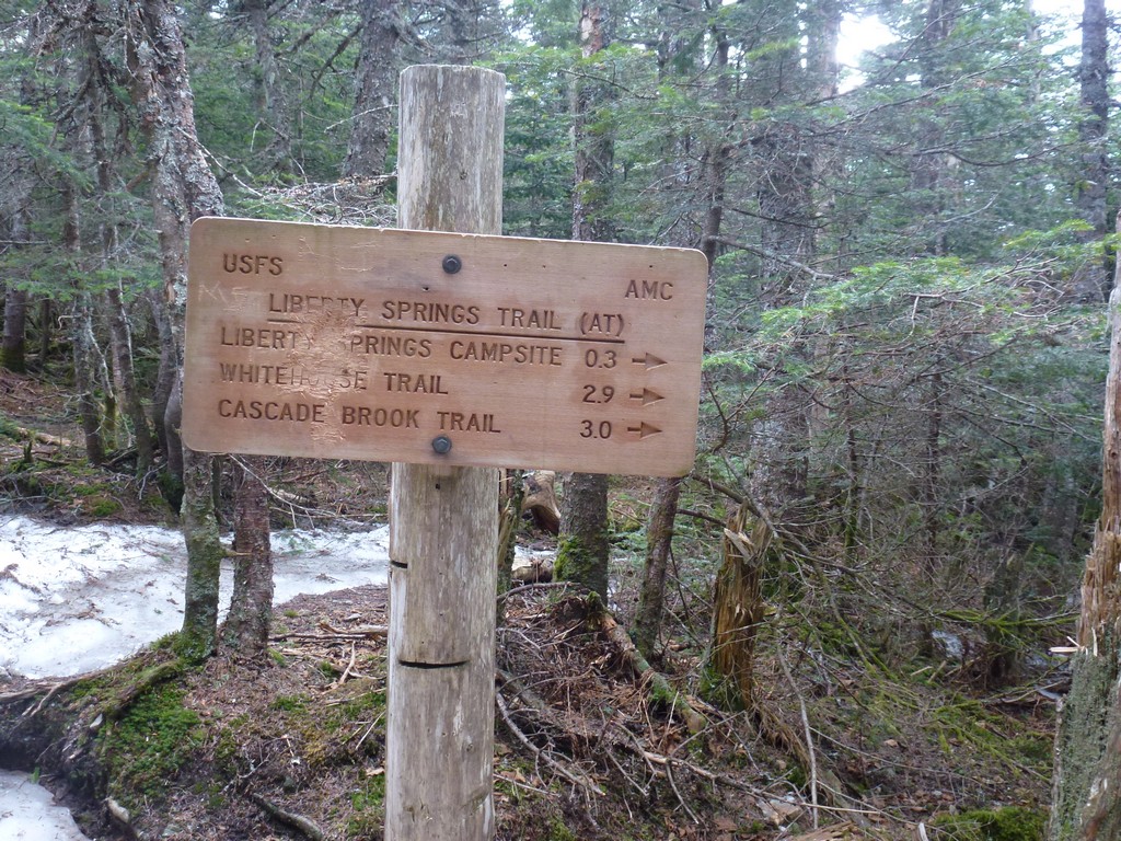
The trail along the ridge from Lincoln to Little Haystack had been mostly dry with just a few muddy sections and there had not been any snow, ice or monorail. All of that changed once I started on the section between Little Haystack and Liberty. There was still quite a bit of monorail left but it was just in the center of the trail and easy enough to avoid. I had my microspikes with me but did not bother with them. There were also some muddy sections where everything had melted and one section that was flooded and very deep that caused me to have to bushwack around. It was close to 2:00 by the time I got to the Liberty Springs Trail and I was really starting to feel hungry.
|
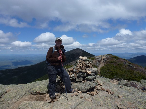
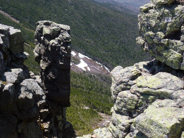
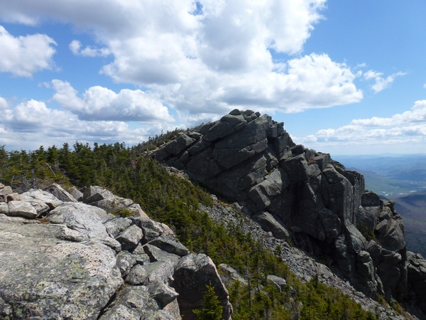
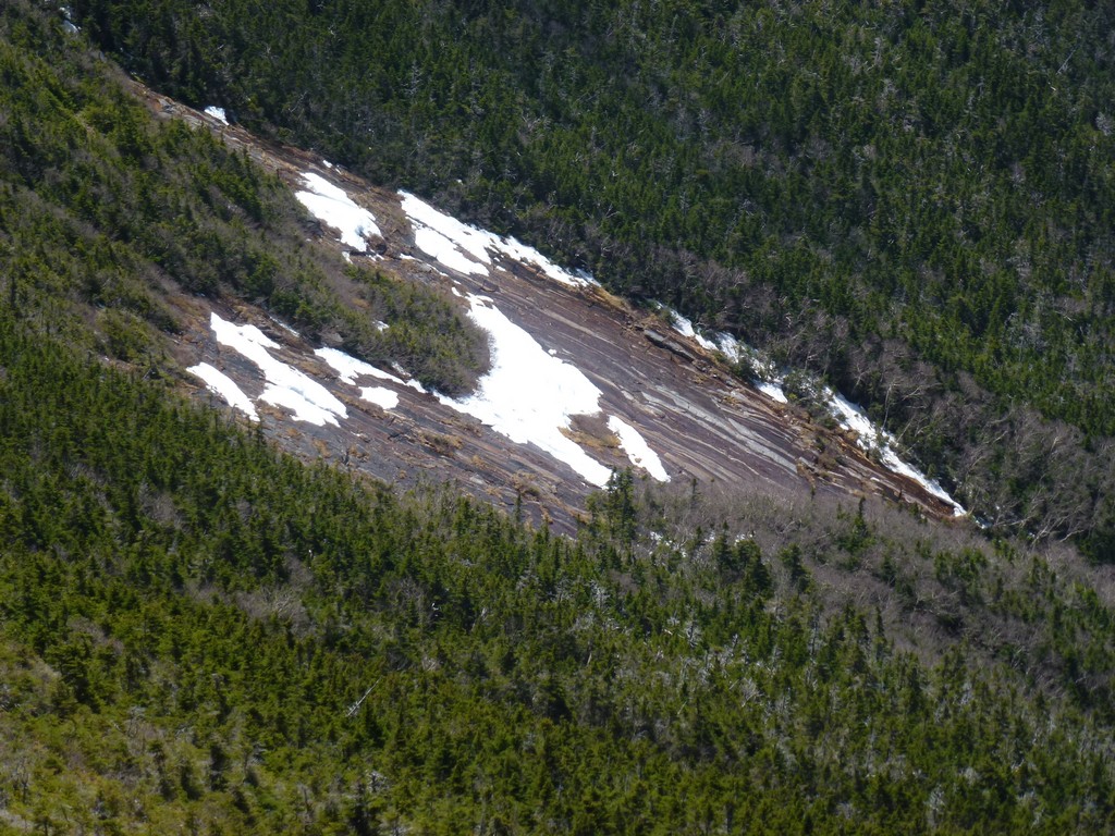
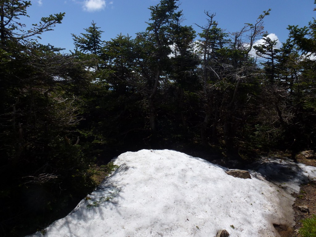
There was still a lot of snow and even some icy patches left on the north slopes of Mount Liberty. The snow was very mushy and not hard going up and the icy patches had me pretty sure I would be wearing my microspikes on the way back down. The were some fabulous views on the approach to the final summit and I stopped a little short of the final climb waiting for a large party that was already up there to leave.
|
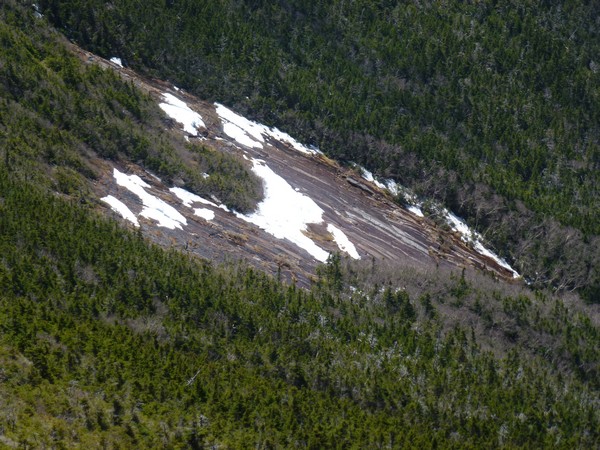
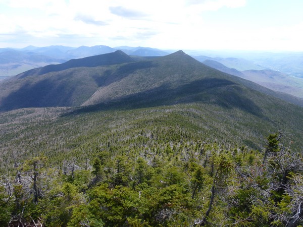
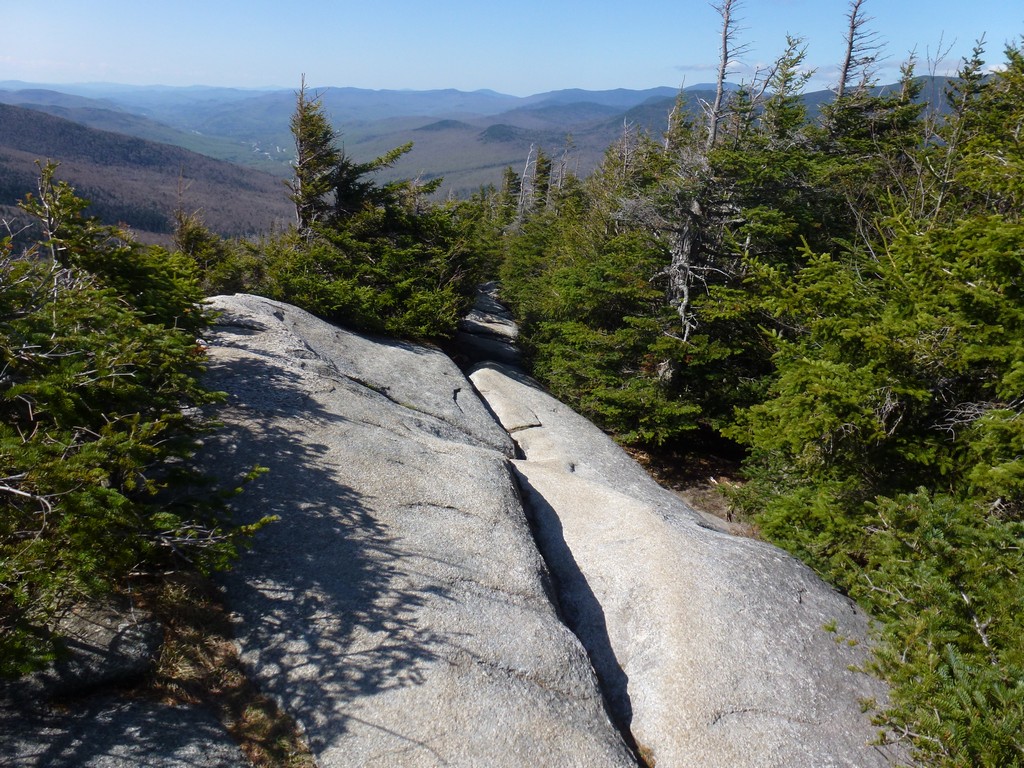
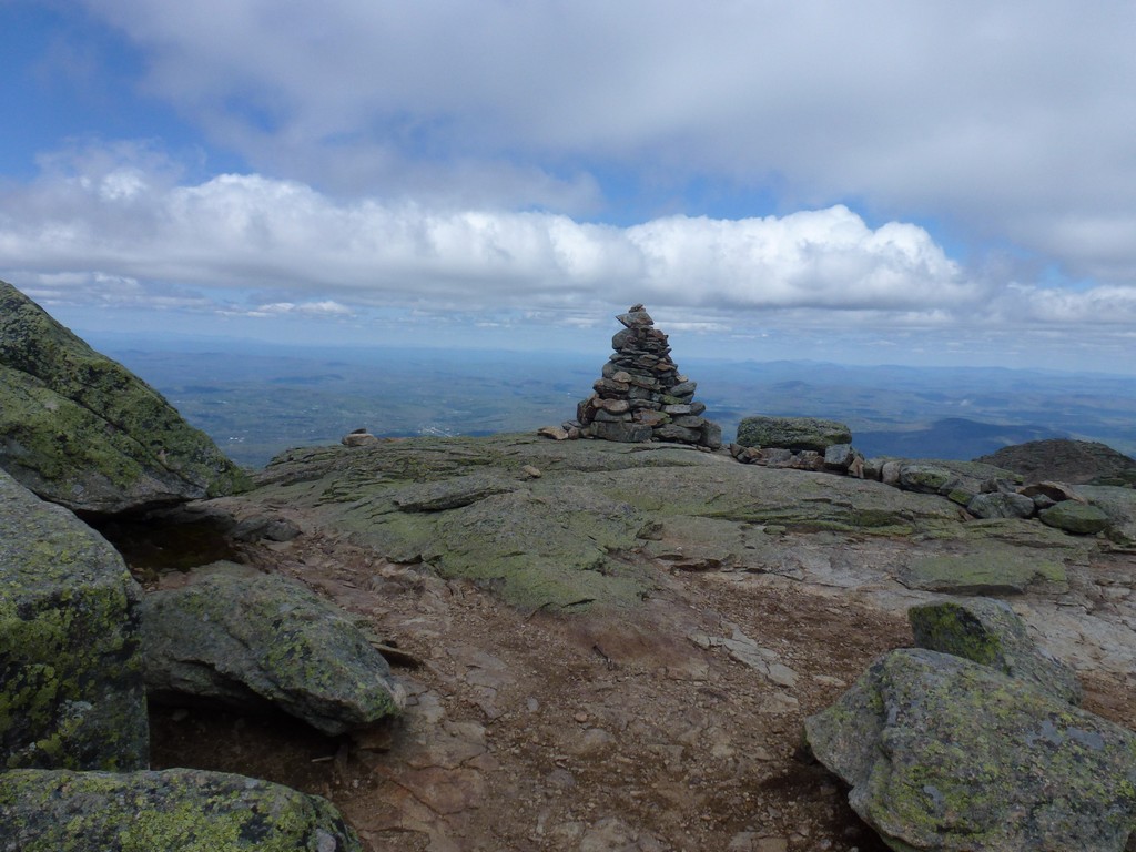
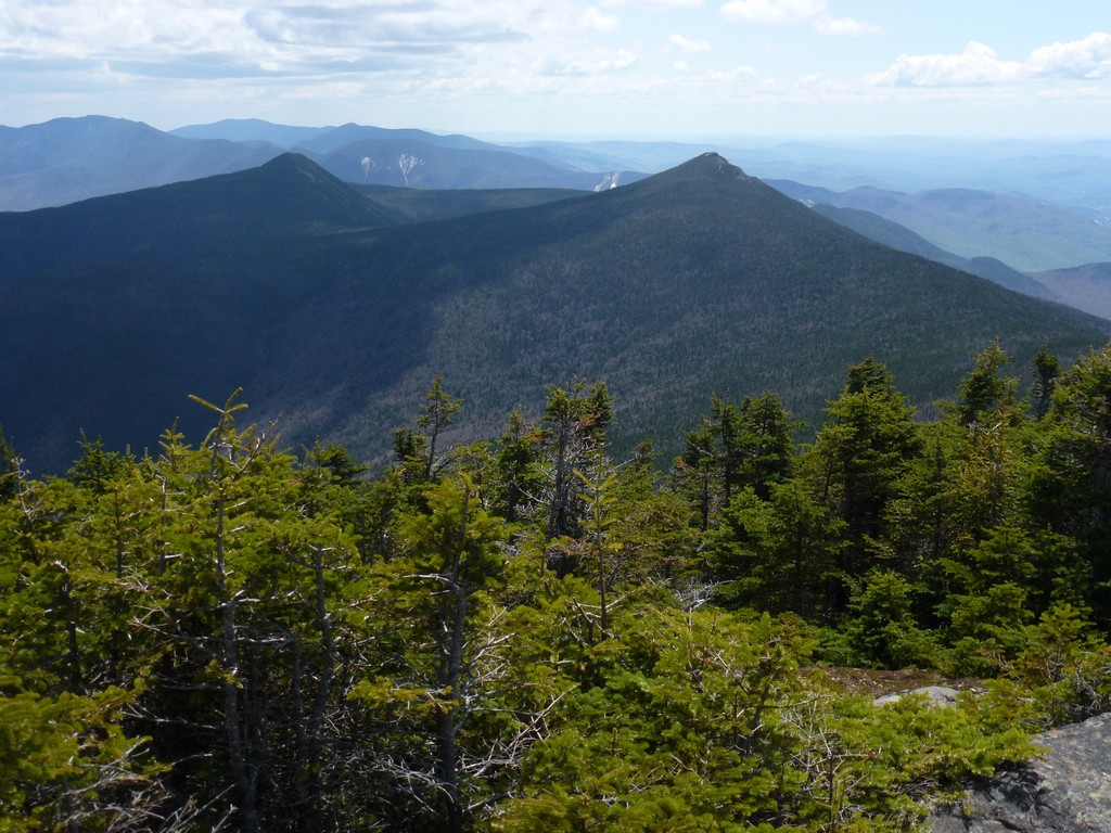
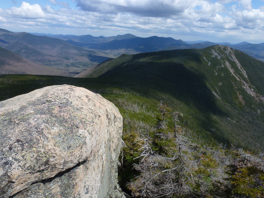
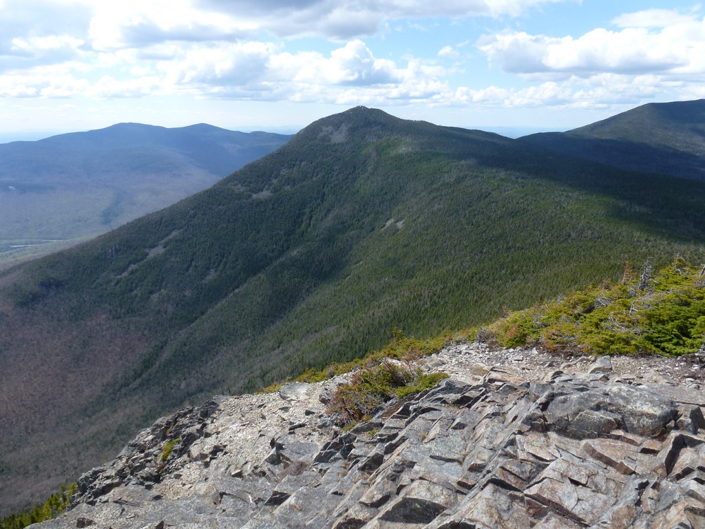
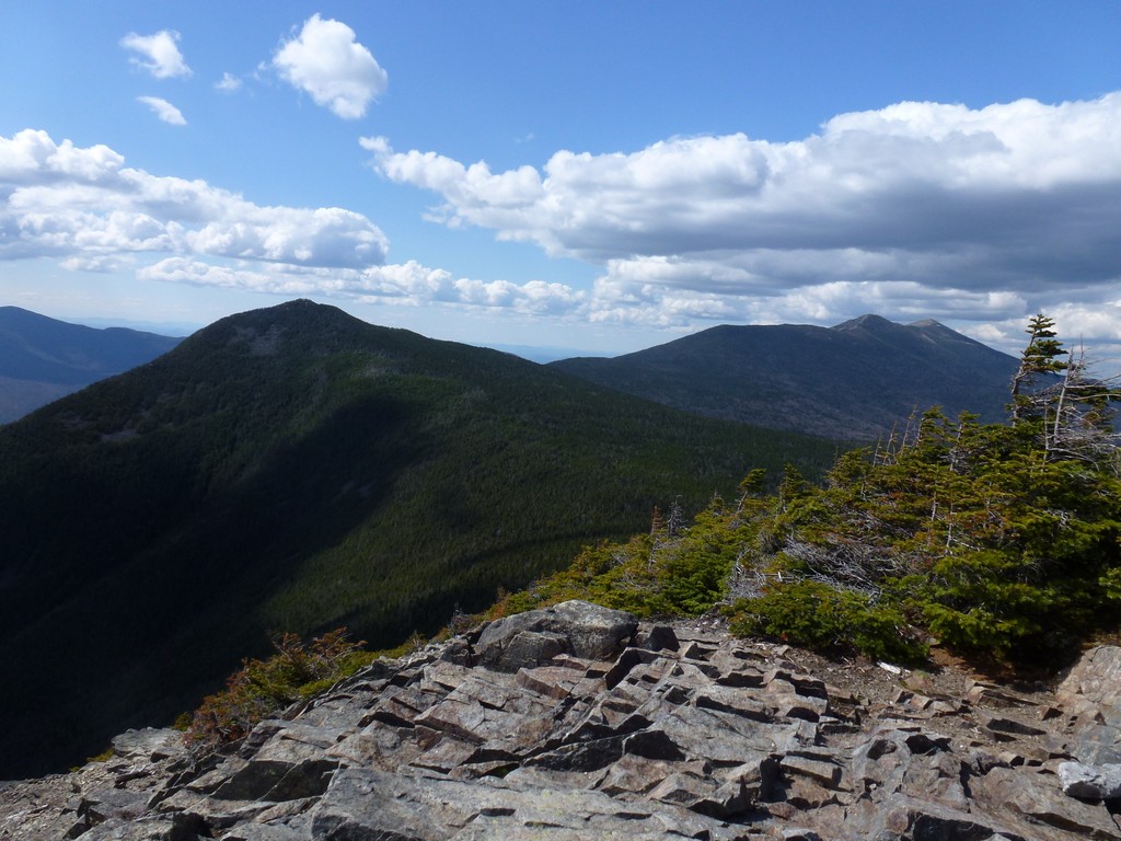
I found a nice spot with a nice view of Mount Flume on the south side of Liberty to finally have my lunch. It felt good to have some food in my again and it made the hike from Liberty over to Flume a lot more enjoyable. There was a lot of monorail between Liberty and Flume and some sections of it were pretty wide. The north slopes of Mount Flume were also still very snowy and icy.
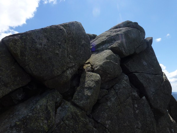
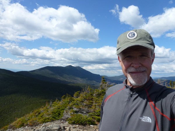
I took a bit of a rest of top of Mount Flume to just enjoy the view. There were a lot more clouds in the sky later in the afternoon and I enjoyed just watching the shadows play on the scenery all around me. I was also pretty sure that I would be trying to get back to the parking area as quickly as possible after leaving the summit of Mount Flume and would probably not be stopping again, or at least not for a long time.
|
It was about 3:30 when I left Flume and I was back at Liberty around 4:30 and ready to start down the Liberty Springs Trail just a little after that. I did meet one hiker at the top of the Liberty Springs Trail that I stopped to talk to for a little while before starting down. I had my microspikes on from the time I left Flume and it made traveling much faster. I asked her about conditions on the trail she had just come up and she said there was not much in the way of ice or monorail so I ditched the microspikes before starting down.
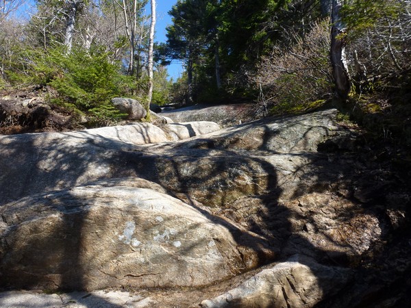
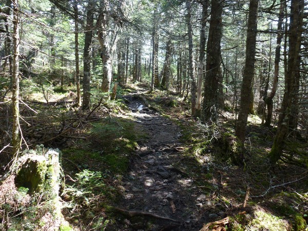
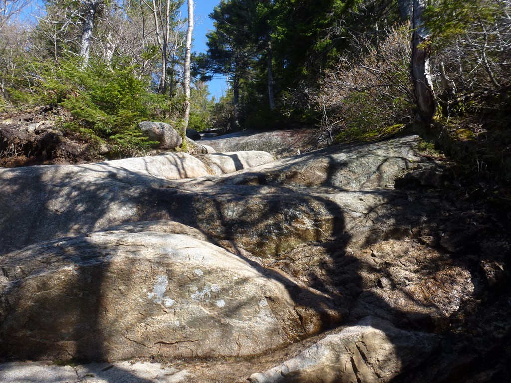
There was a little ice in the very upper sections of the trail but it was easy enough to avoid. I found the descent to be extremely tedious though as the upper portion of the Liberty Springs Trail is really not much in the way of a trail. It's just more like constant rock hopping. There were a couple of more level sections but they did not last long. I was very happy to get to the bottom section where it level out and was more trail-like.
|
I was even happier when I finally got back to the Whitehouse/recreational trail as I knew from there the parking area was only about a mile away and this would be on a paved and level path. I did make a short stop at a picnic table next to the river to have a snack and suck down some water before completing the hike.
|
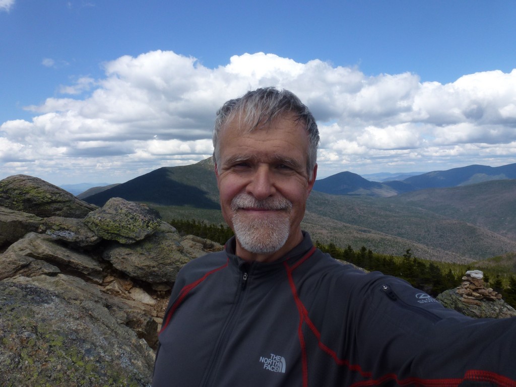
It had been a very long day but it felt very good to have bagged all four peaks on Franconia Ridge in one day. After the death march of the prior week it also felt good to be finishing in daylight and with still an hour or more of daylight remaining.
|
|
|---|
|
|---|


