|
Day hiking Cannon Mountain, The Cannonballs and North & South Kinsman |
|---|
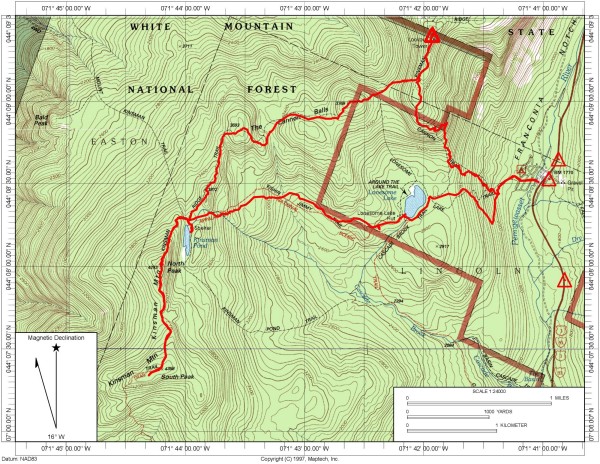
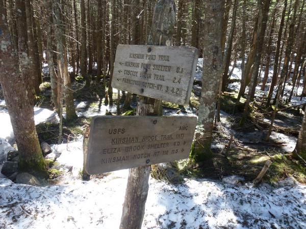
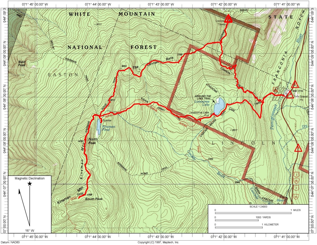
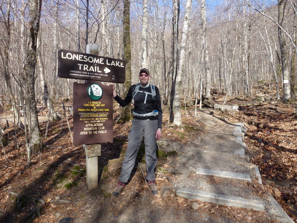
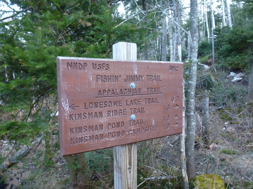
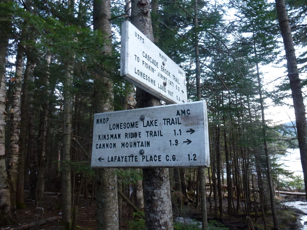
This day hike started at Lafayette Place/Campground off of Interstate 93 (Franconia Notch Parkway) in Lincoln, New Hampshire. From the trailhead we followed the Lonesome Lake Trail to the Hi-Cannon Trail to the Kinsmam Ridge Trail to the summit of Cannon Mountain. From there we went west along the Kinsman Ridge Trail over The Cannonballs to Kinsman Pond, North Kinsman and finally South Kinsman. For the return trip we took the Kinsman Ridge Trail back to Kinsman Pond where we picked up the Fishin' Jimmy Trail. We followed that back to Lonesome Lake and the took the Lonesome Lake Trail back to the parking area.
|
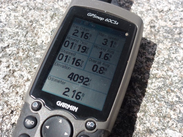
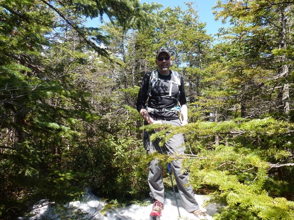
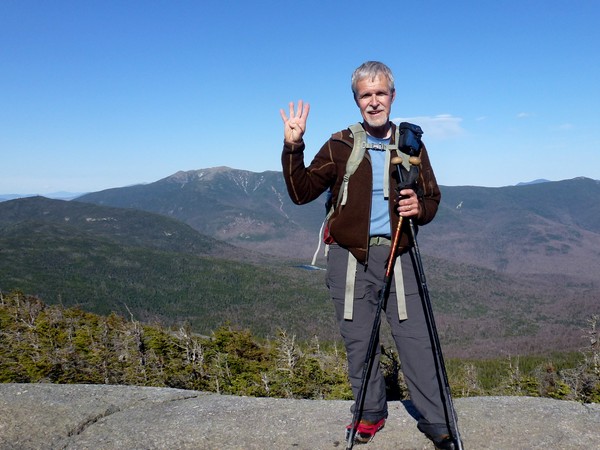
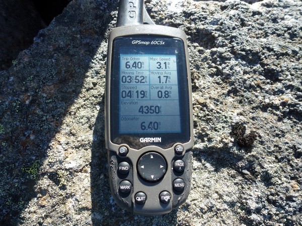
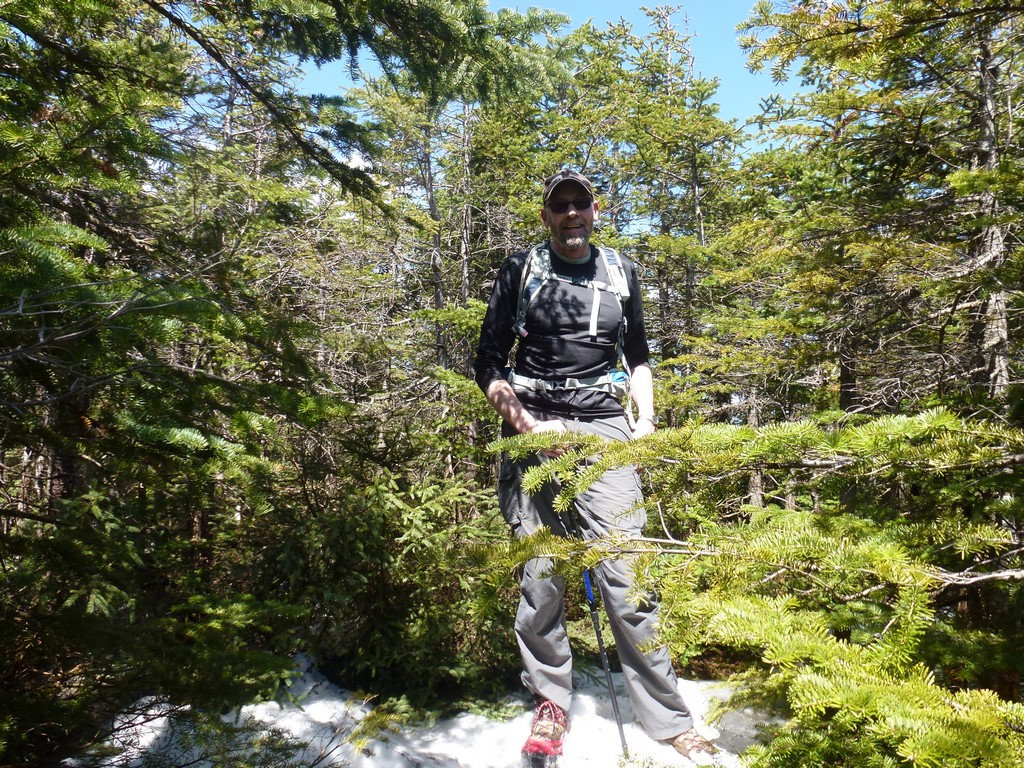
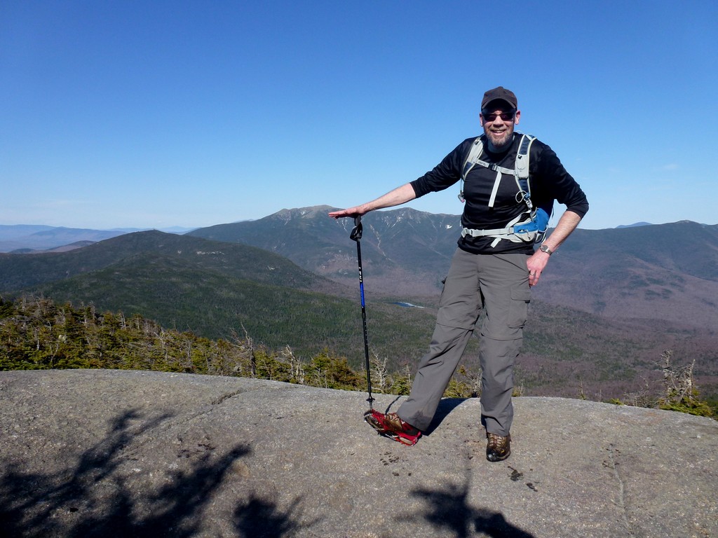
The starting point for this hike was the day use parking area at Lafayette Place/Camground. These would be spring 4000-footers #6, #7 and #8. Since I had already done them in summer, winter and autumn they would also be four season 4000-footers #3, #4 and #5. My friend, Max, joined me for this hike and we started just a little after 8:00. It was a beautiful morning with lots of clear sky and temperatures starting out in the mid 40s.
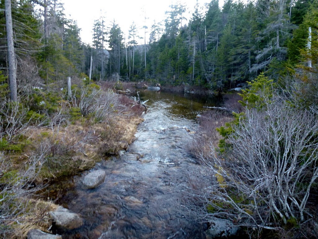
From the parking area we followed nameless trail across the campground to the start of the Lonesome Lake Trail. We were not on the Lonesome Lake Trail very long and after only a quarter mile or so we were at the junction of the Hi-Cannon Trail. The trails so far were dry and in pretty good shape.
|
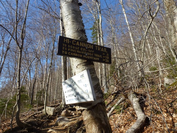
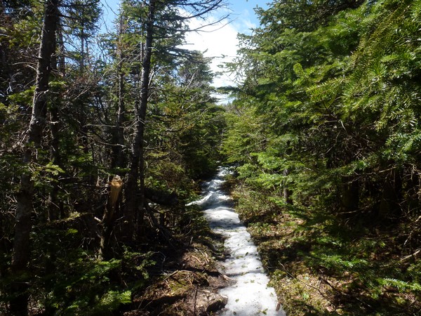
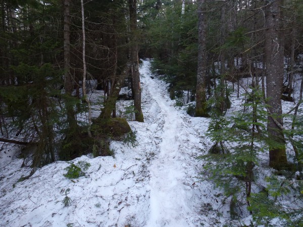
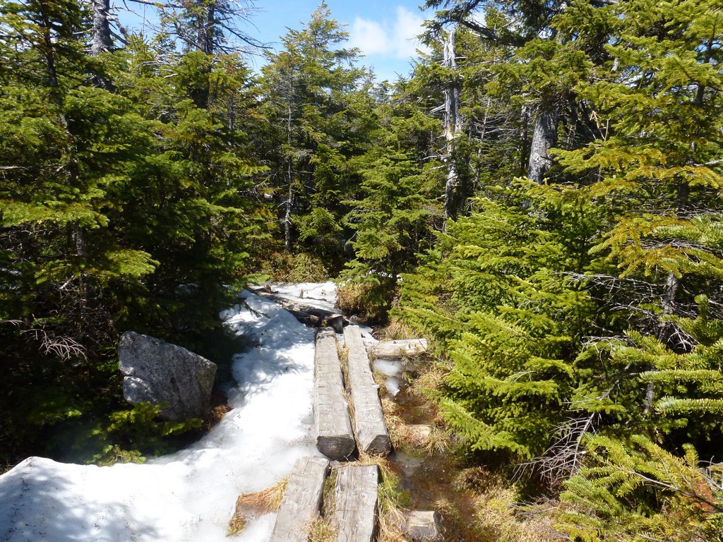
As we climbed higher on the Hi-Cannon Trail we started seeing little patches of snow and ice along and then on the trail. By the time we reached the junction with the Kinsman Ridge Trail there was sporadic monorial in some of the darker sections of the trail especially through the spruce. The trail was still in pretty good shape though.
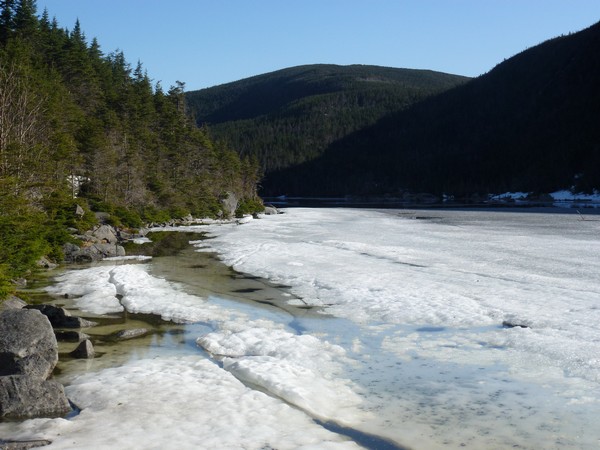
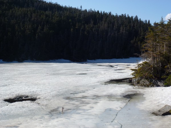
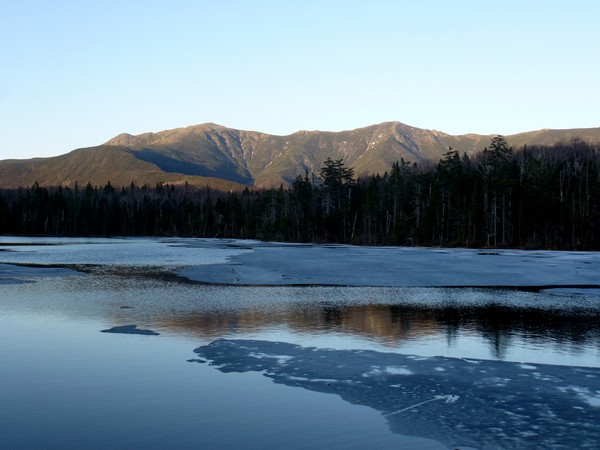
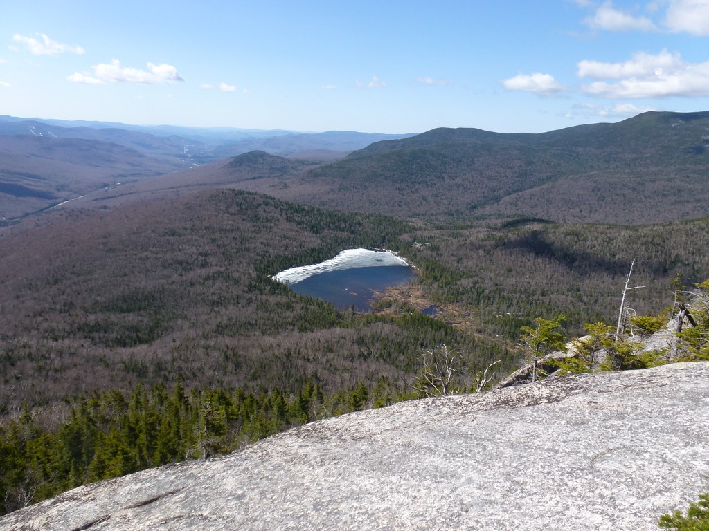
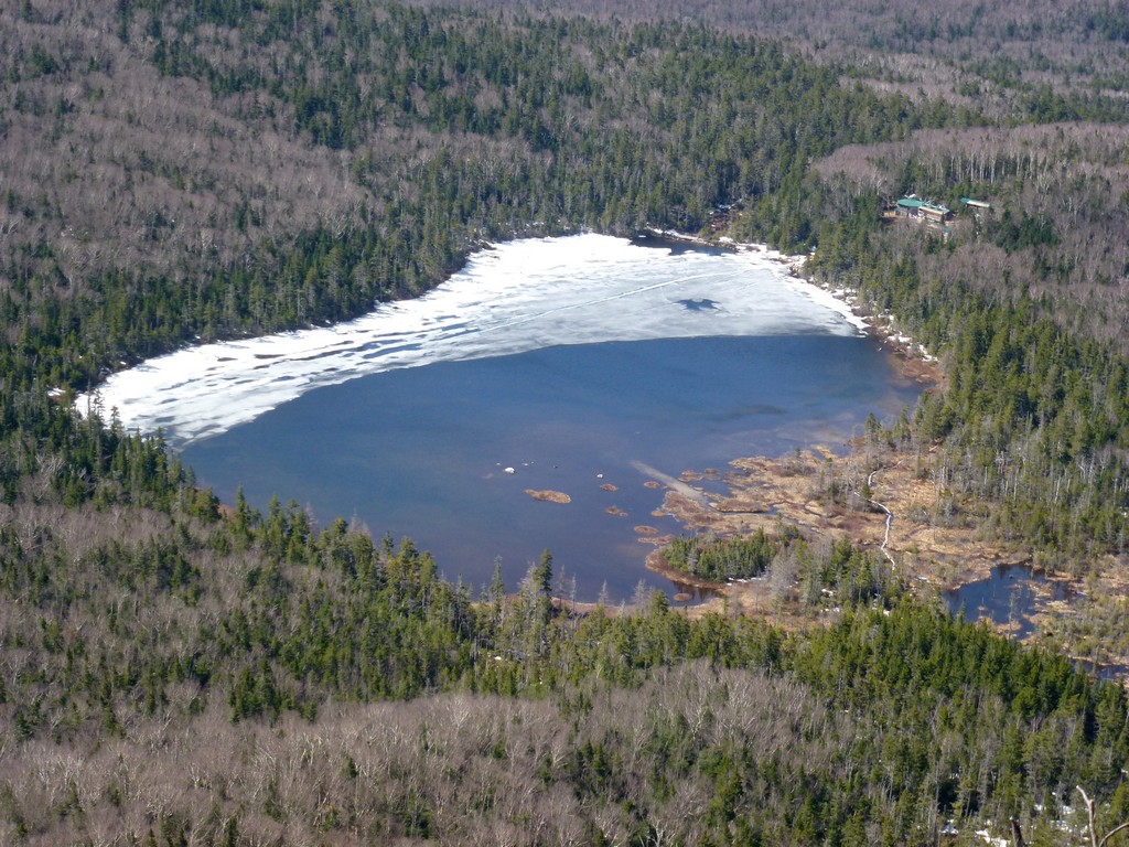
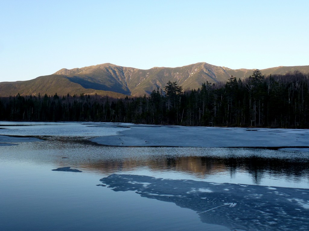
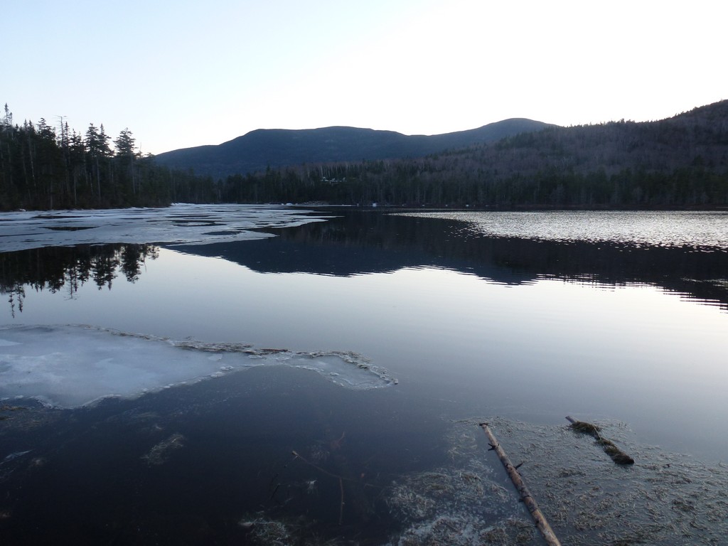
We hade some awesome views of Lonesome Lake from some of the overlooks along the trail. There was not much ice left on the lake and what remained didn't seem like it would last long.
|
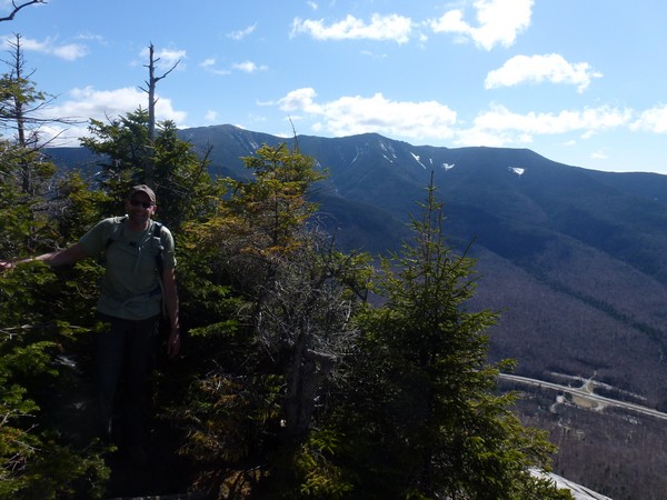
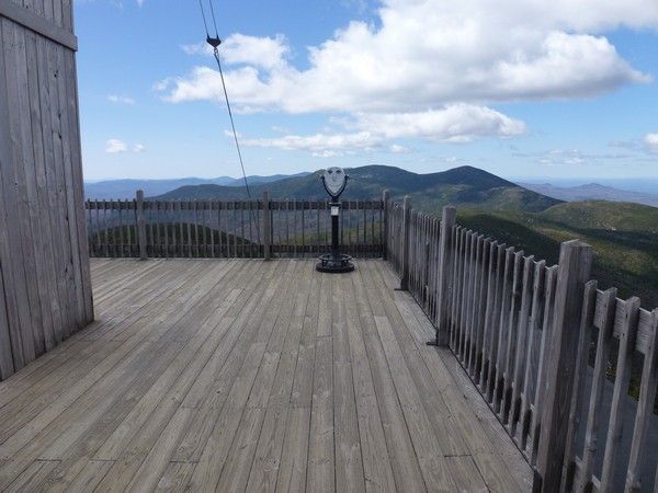
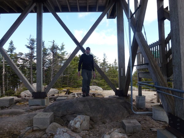
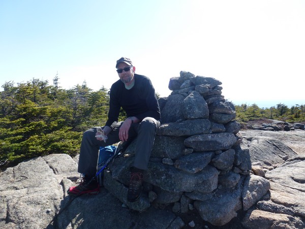
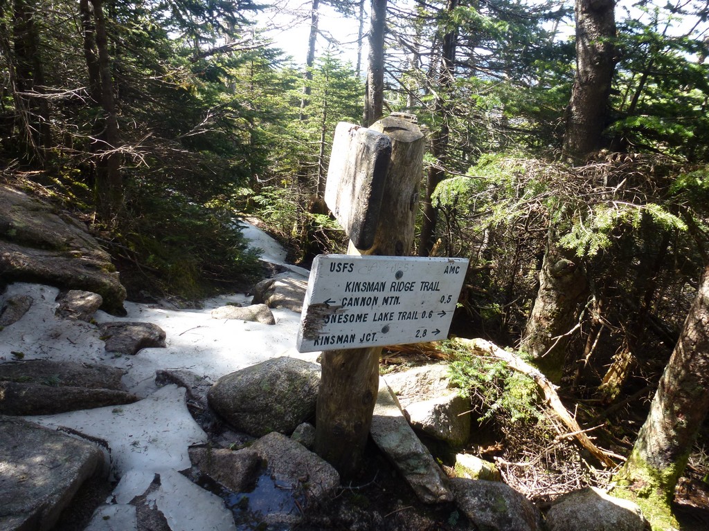
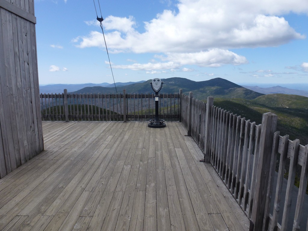
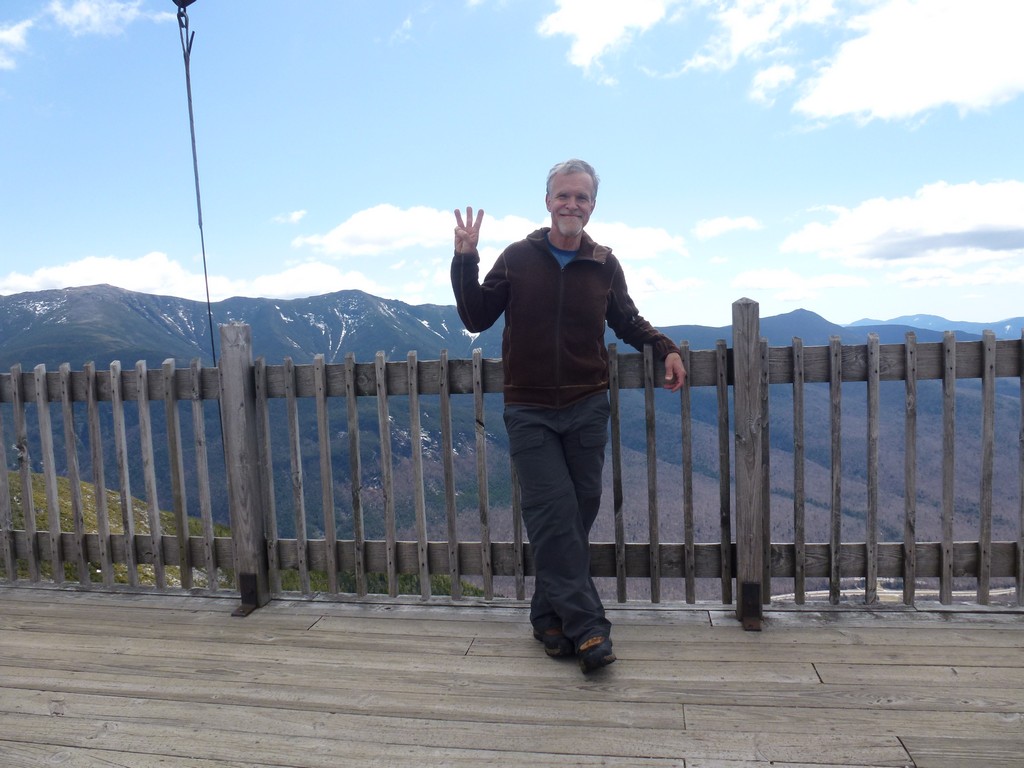
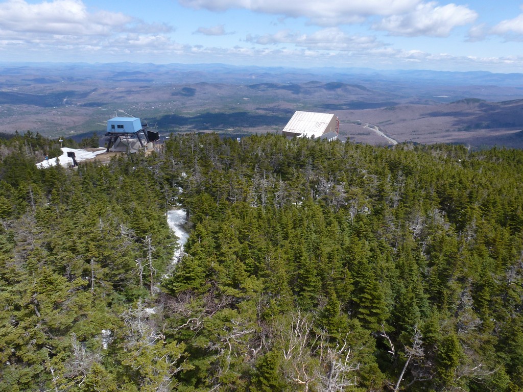
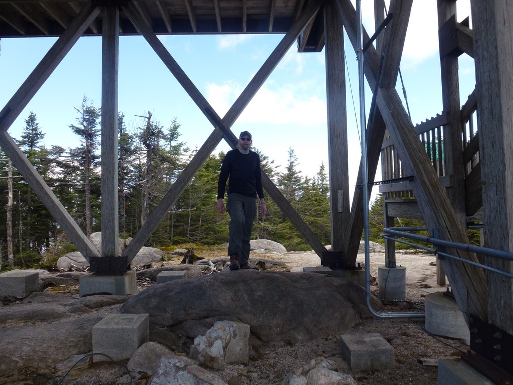
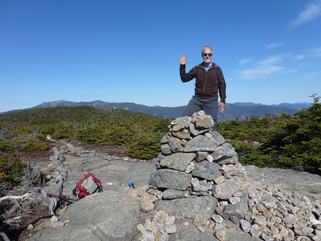
Once on the Kinsman Ridge Trail it was only about a half of a mile to the summit of Cannon Mountain and our first achievement for the day. The trail on Cannon Mountain was still pretty dry with only small patches of snow and ice. It was a little windy up on the viewing platform but luckily not that cold. We did not stay long and just took a few photos and then headed down. We had a short snack break at the base of the tower before continuing on.
|
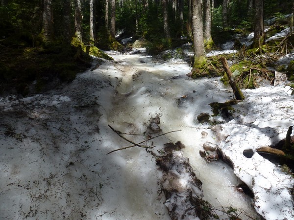
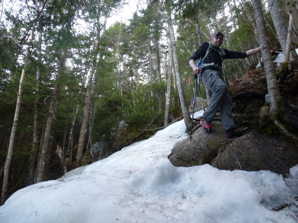
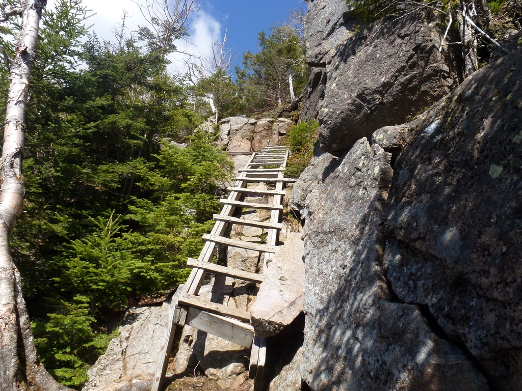
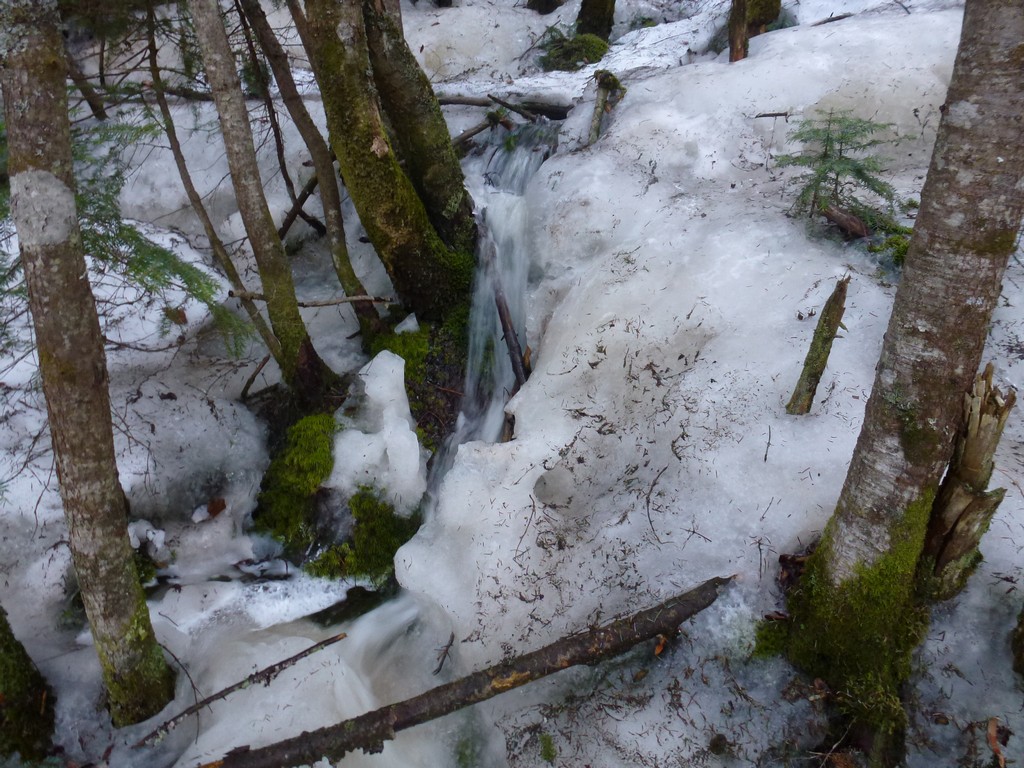
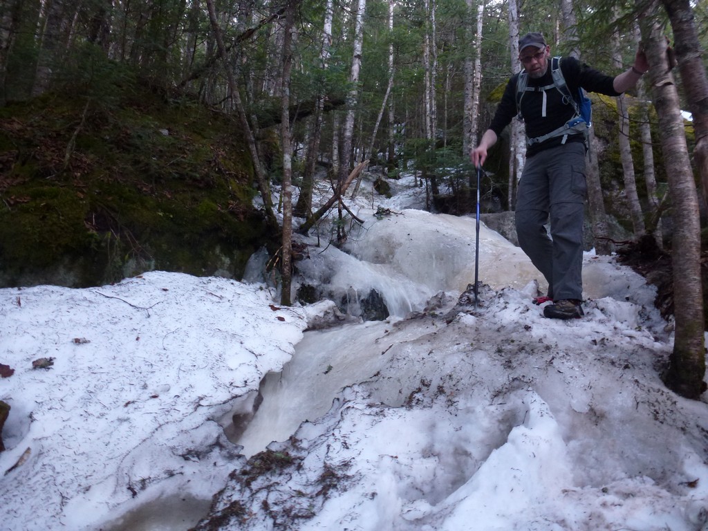
We took the Kinsman Ridge Trail back to the junction with the Hi-Cannon Trail but from there continued down the Kinsman Ridge Trail toward The Cannonballs. That's when things started to get... interesting. There was lots of ice along this section of the trail and it was very steep. The ice pretty much covered the entire trail and it was no just a monorail running down the middle so there little or no bare trail to either side to use for traction. To make matters worse Max had forgotten his microspikes so we only had one pair between us and right had one of mine on our right feet. Without microspikes we would have been turning back. With just one microspike we had at least some traction and just had to be very careful with the placement of that bare-booted foot. It was a hair-raisingly, treacherous descent and not a lot of fun at all. There were a couple of places were we actually had to leave the trail and bushwhack through the forest because there was just no way to get down the trail with only one microspike. I had pretty much made up my mind at that point that the day would be ending early and we would be bailing out and taking the Lonesome Lake Trail back to the parking area as soon as we reached it.
The trail did get a little better towards the bottom though and I was pretty sure that was the steepest and iciest section we would encounter all day. I knew there would be ice along the upper sections of the Fishin' Jimmy Trail on the way back from Kinsman Pond but we pretty sure that even that would not be anything like what we had just gone through. We had a short discussion when we reached the junction with the Lonesome Lake Trail. I wanted to continue and Max seemed ok with it as well so we continued west along the Kinsman Ridge Trail from there and started over The Cannonballs.
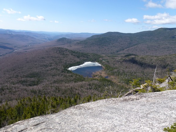
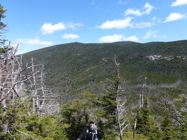
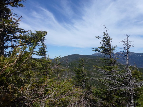
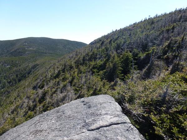
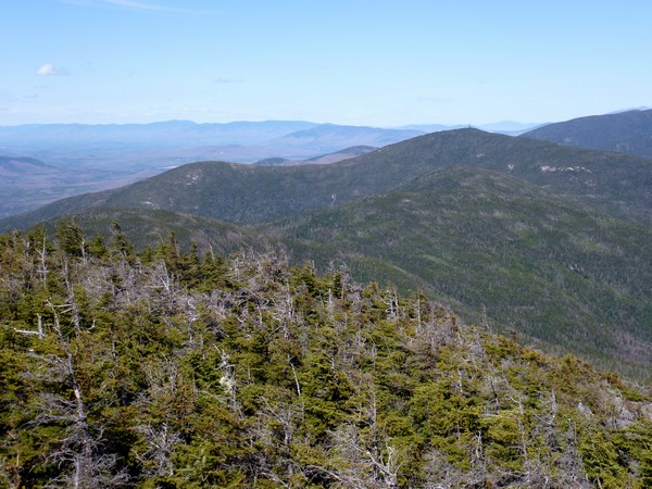
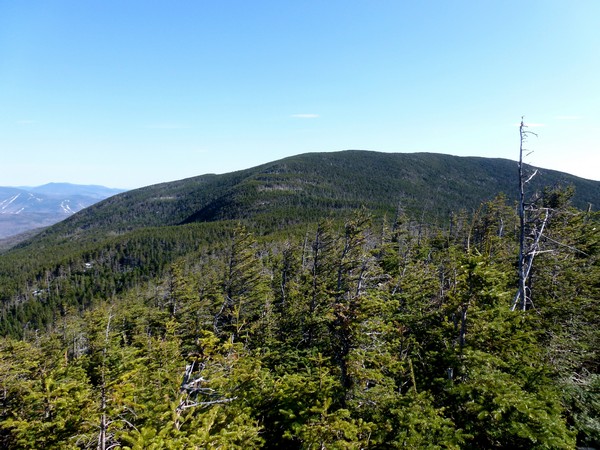
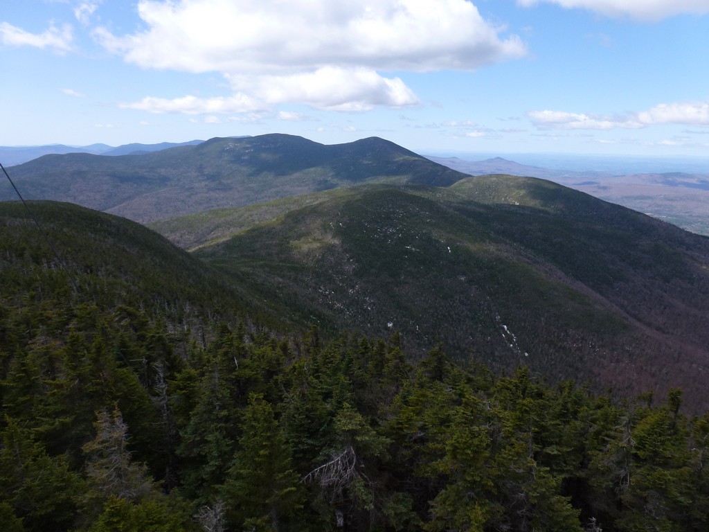
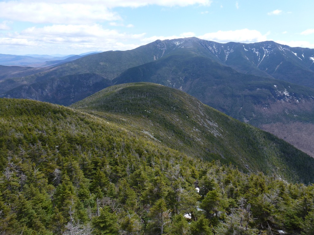
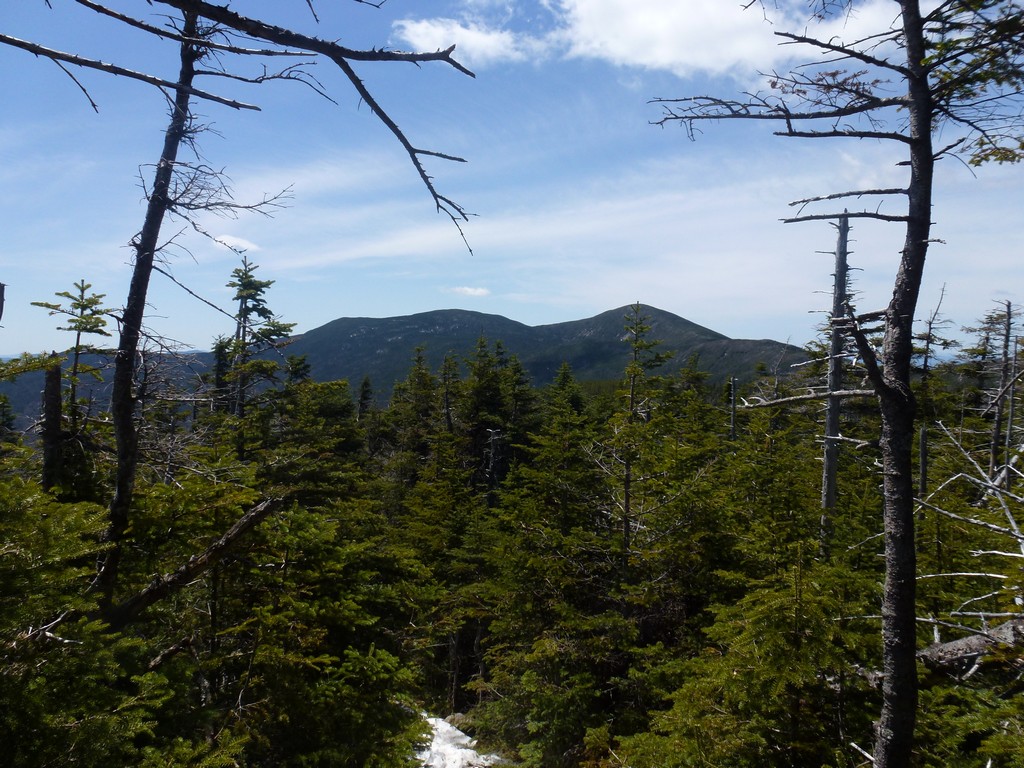
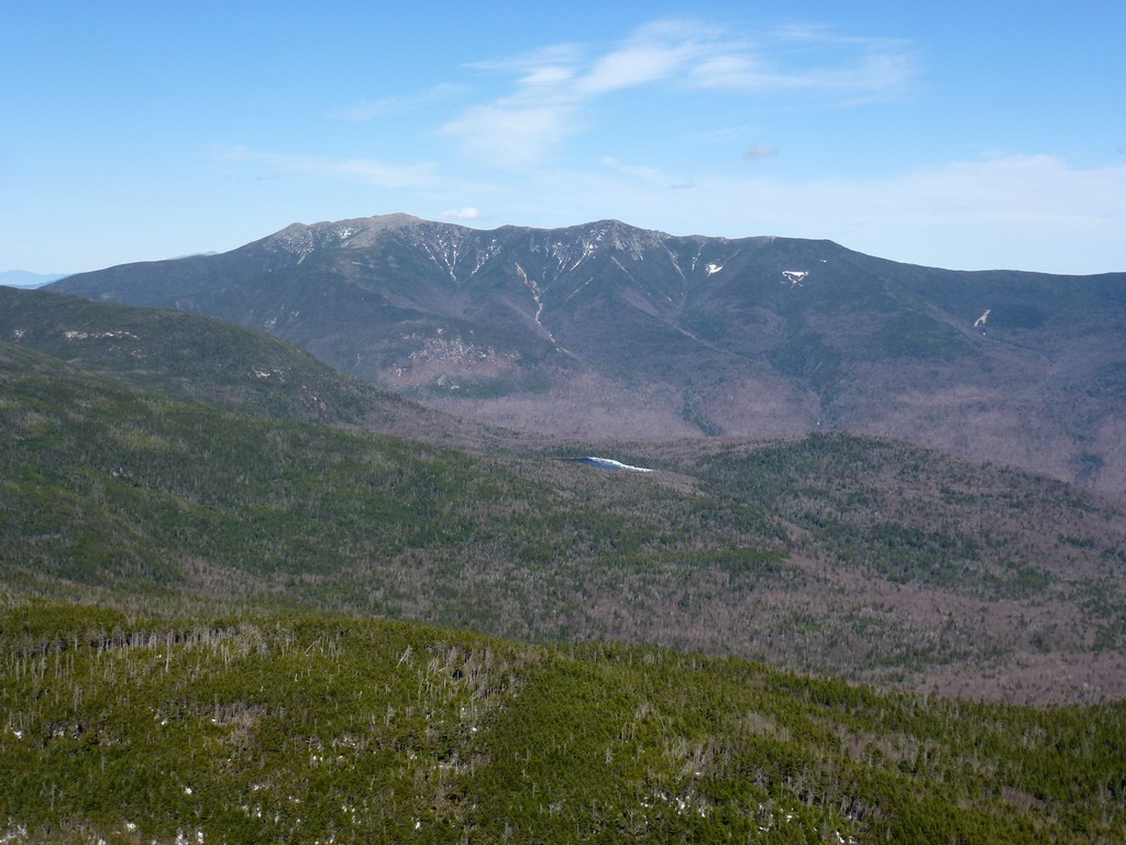
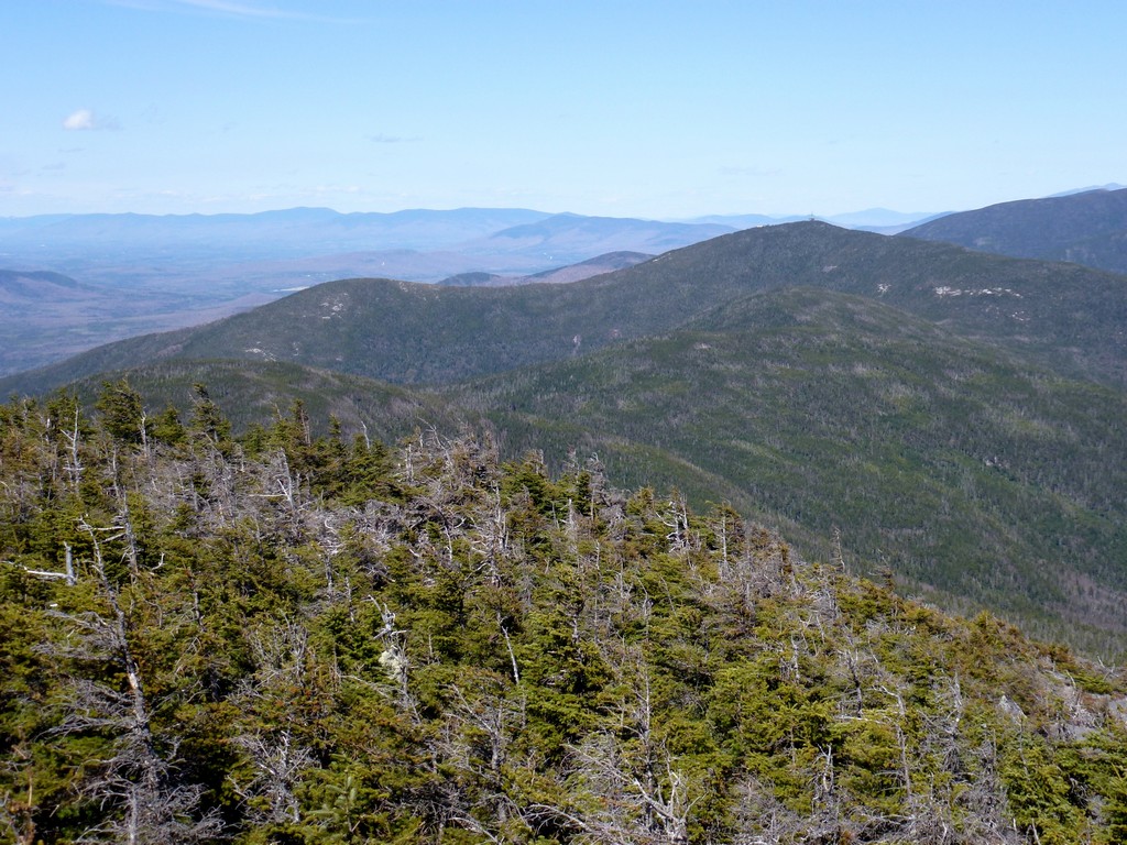
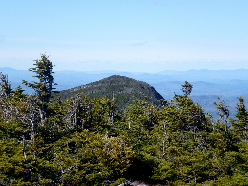
There were still some icy sections in there and some steep sections going up East Cannonball and in a couple of other places. The day was warming up nicely though and there was plenty of sunshine and it was just a gorgeous day to be out. We had our lunch break on the west side of East Cannonball with a nice view of The Kinsmans to the west. There was quite a bit of snow behind Middle Cannonball and I more or less expected some trouble there as there was a lot of snow there the last time I did this trip as a winter hike back in February 2012. It was already 2:30 by the time we reached Kinsman Pond and I was getting a little concerned about finishing this hike before dark. Sadly I was very convinced that we would have no problem with this when the hike started and in an effort to reduce weight had tossed my headlamp into the car. Max did not have a headlamp either.
|
And still we continued on. We skipped the visit to Kinsman Pond and decided to do it on the way back if we had time. We headed west along the Kinsman Ridge Trail towards the summit of North Kinsman.
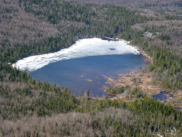
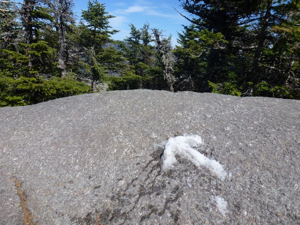
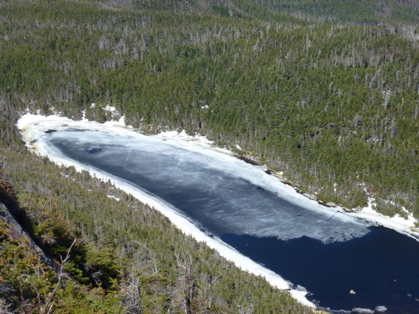
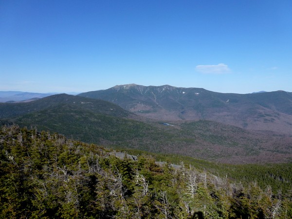
I was in the lead and Max was a little ways behind me. When I reached the top of North Kinsman I made an arrow out of snow on the section of rock ledge right next to the turn-off for the viewpoint, so Max would know where I went. I then went out to the viewpoint and waited for him. I took my pack off and left it there while I scrambled down to the lower ledges to get some shots of Kinsman Pond below.
I came back to the upper ledge and waited for Max. And waited... and waited... and no Max. I am not sure how long I waited but it was probably 15-20 minutes and it should not have taken Max that long to get there. I remembered seeing him coming up the trail behind me maybe a quarter of a mile back and the trail had a couple of icy sections but was really not that bad. I called out. Nothing. I put my pack back on and went back to the arrow I had made. Now what. I didn't see how he could have missed the arrow so something must have happened and he must still be behind me. I scrambled back down the trail towards Kinsman Pond, towards the last place I had seen him. Nothing. I called out some more. Nothing. I was very worried. I didn't think he would head back on his own if something had happened so maybe he did just miss the arrow somehow. I climbed back up to North Kinsman hoping to see some sign of his passing on the other side.
|
As luck would have it there were some hikers on top of North Kinsman when I arrived back there. They had come from South Kinsman and had seen Max heading that way, wondering were I was. Whew! I trudged off for South Kinsman.
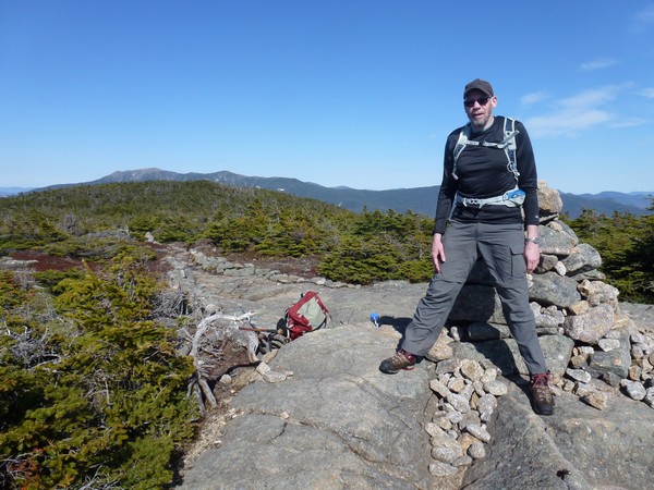
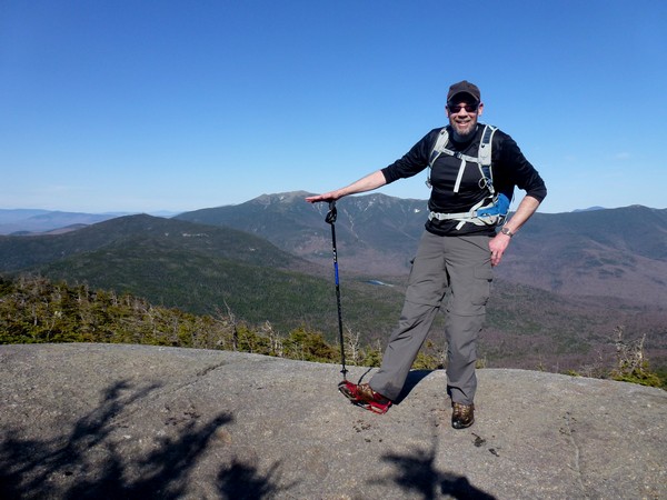
I could see Max on top as I got closer to the South Kinsman summit. I was glad he was safe but not quite pleased that he had gone on so far without seeing any sign of me. I still had no clue how he missed the arrow at North Kinsman. He didn't either, he just did. Heading down the other side of North Kinsman should also have been a clue that he missed the summit but... who knows.
We had a second lunch on top South Kinsman before starting back. It was already after 4:00 at this point and it was going to be a mad dash back to the parking area which was still almost 5 miles away.
|
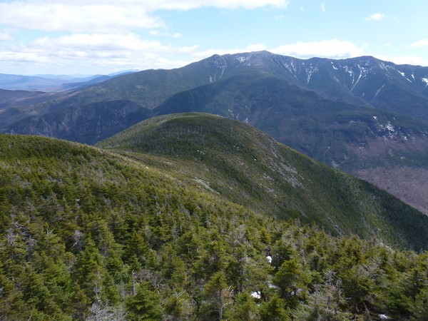
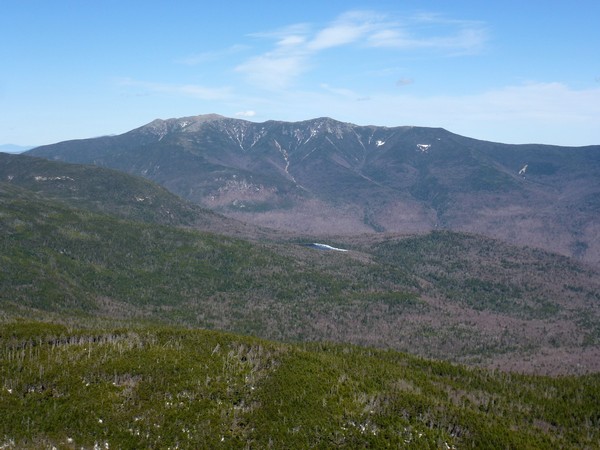
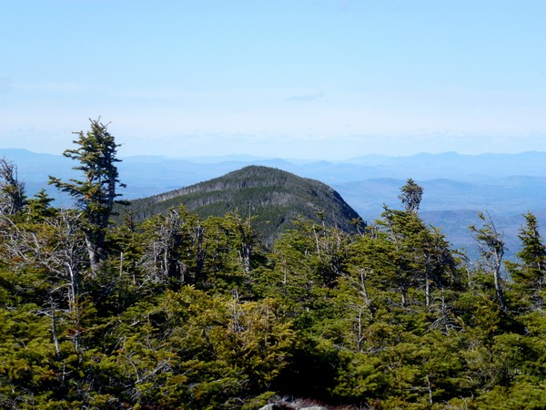
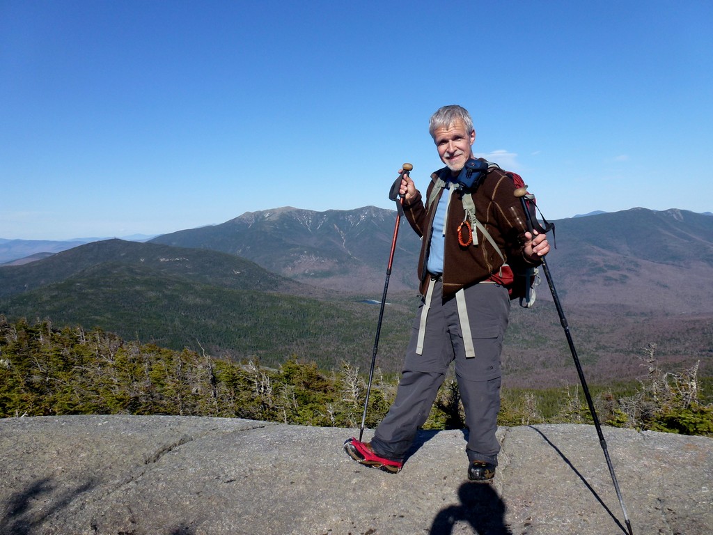
We made really good time getting back to North Kinsman and stopped theur briefly so that Max could see the view and also take some more photos. I really think they view from those ledges, especially the lower ones, on North Kinsman are some of the finest in the Whites.
|
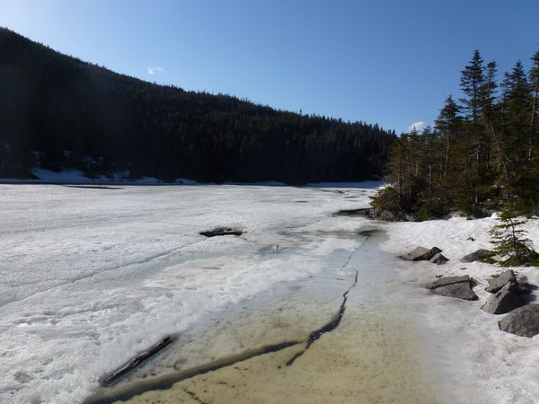
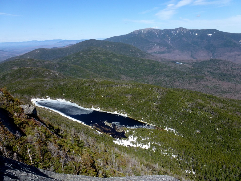
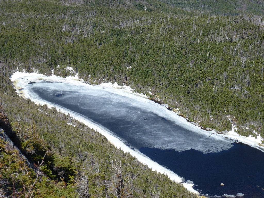
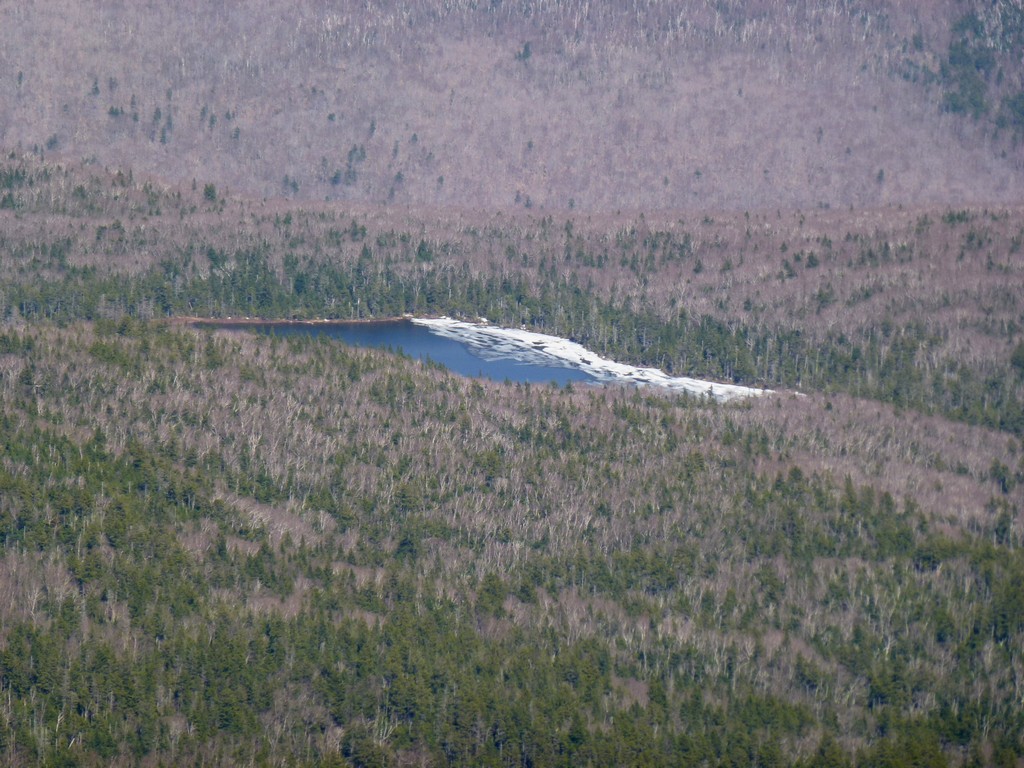
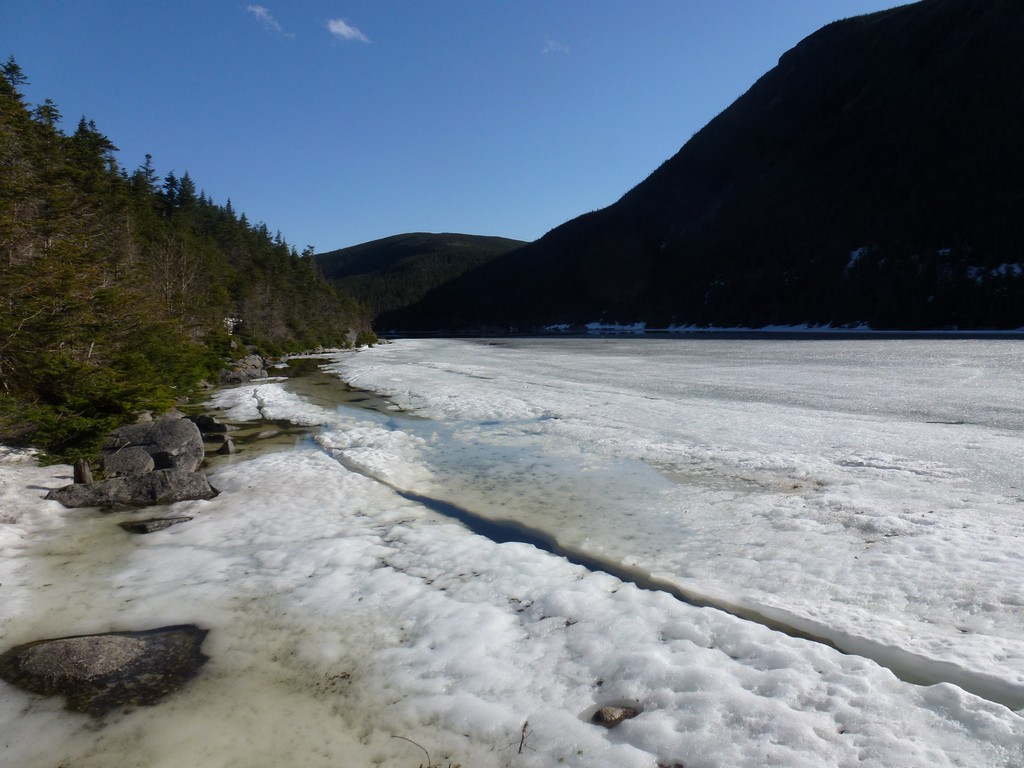
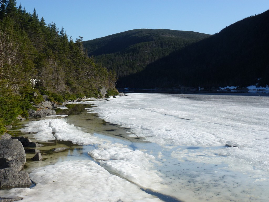
We also made pretty good time going from North Kinsman back to Kinsman Pond so we decided to take the time for a short visit to Kinsman Pond. I was glad that we had the time for this as it is one of my favorite spots. The pond still had quite a bit of ice on it but like Lonesome Lake it probably would not last much longer.
|
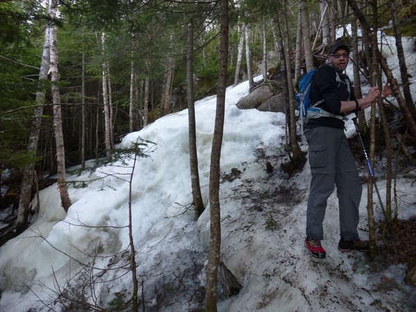
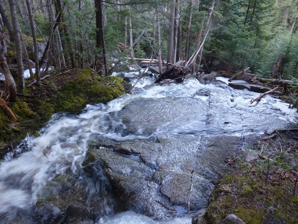
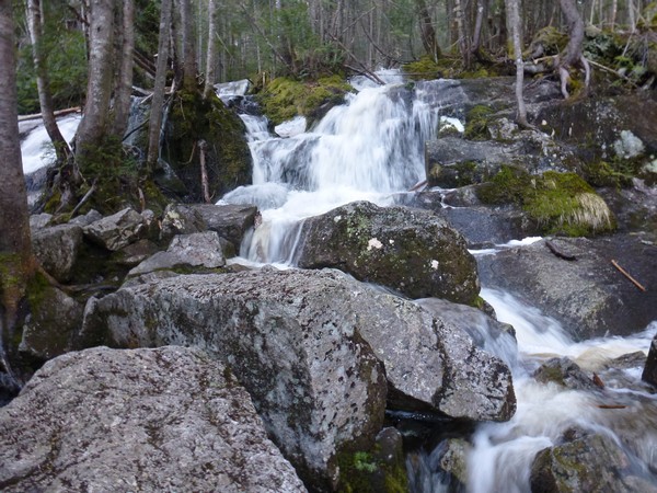
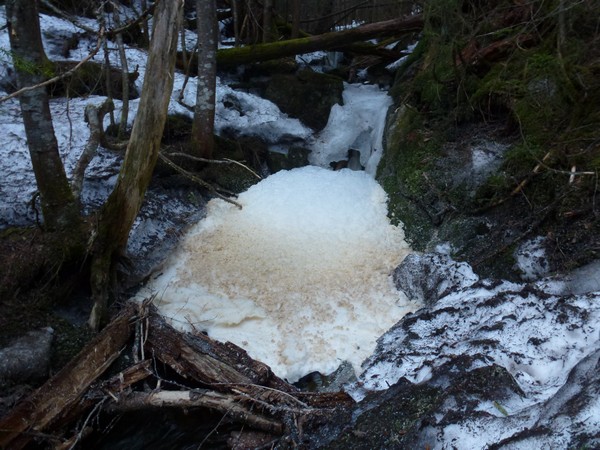
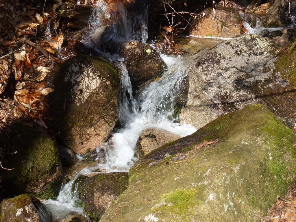
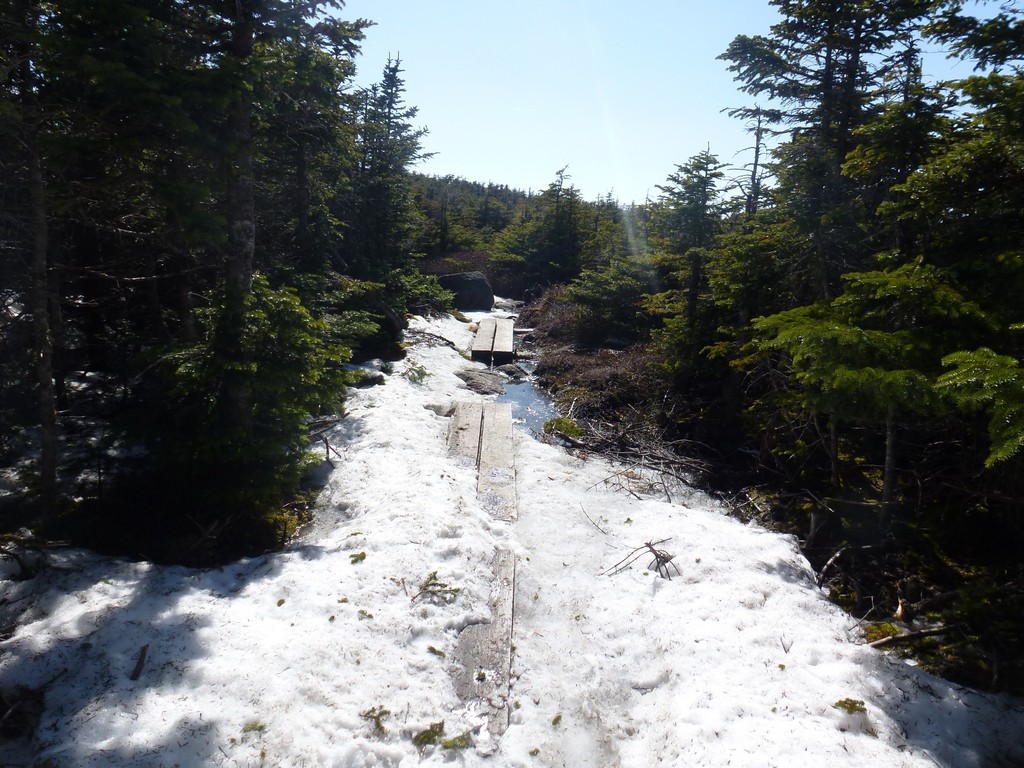
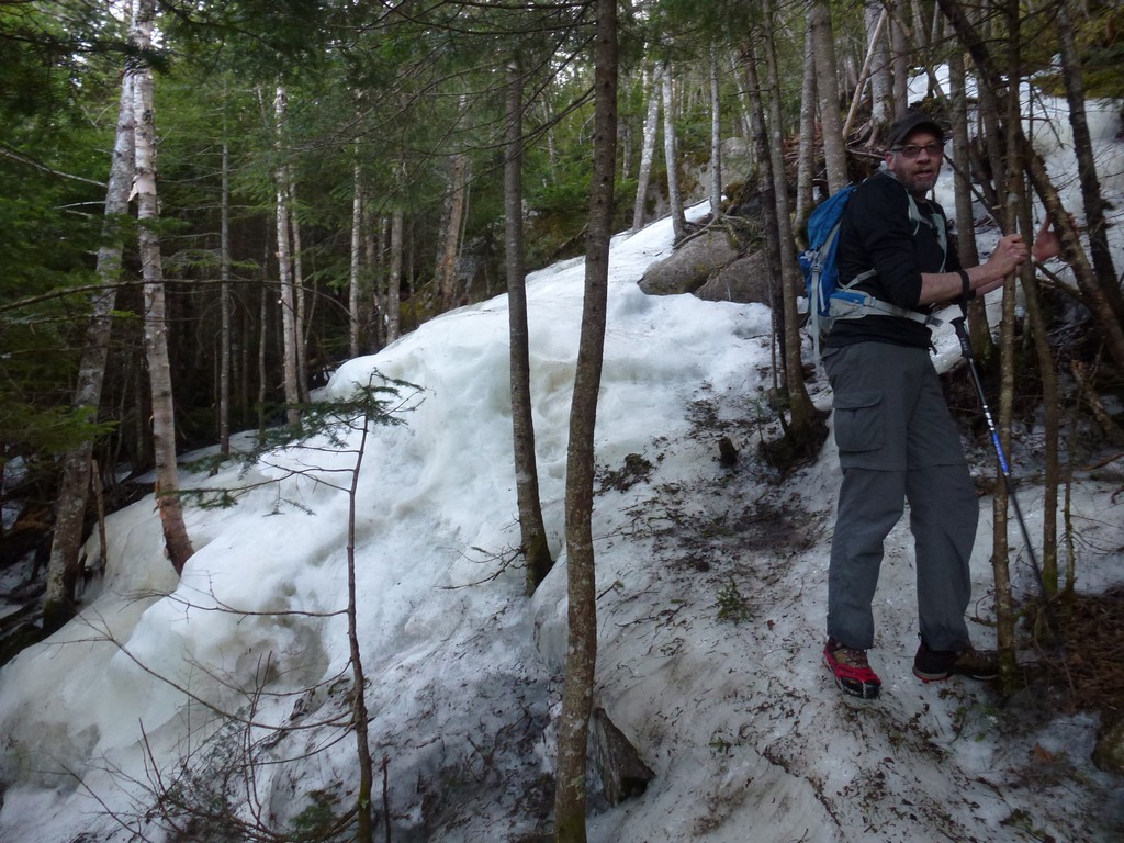
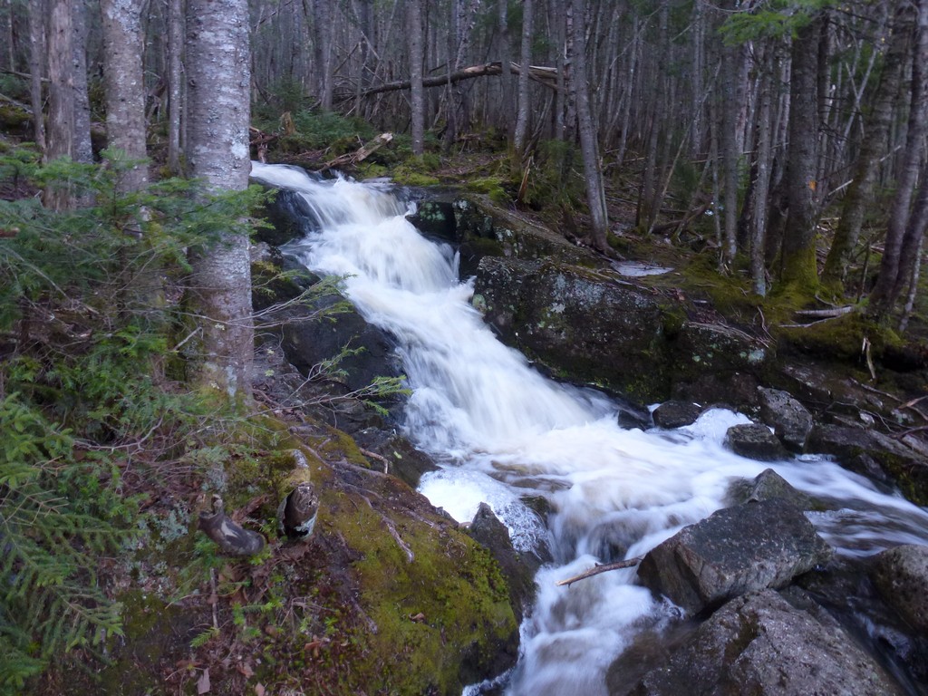
We had some real fun going to Kinsman Pond back to Lonesome Lake on the Fishin' Jimmy Trail. *sarcasm* The western portion of the trail still had quite a bit of ice on it and some very steeep and treacherous ice flows in some places. If that wasn't bad enough the warmer temperatures had a lot of melting going on by later in the day and there was lots of water flowing down these ice flows. We were doing a lot of tree hugging to get around some of these ice flows/waterfalls and had to take to the forest several times to bushwhack around them.
|
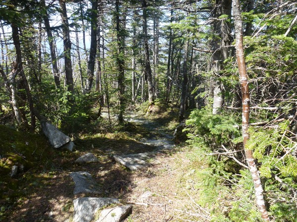
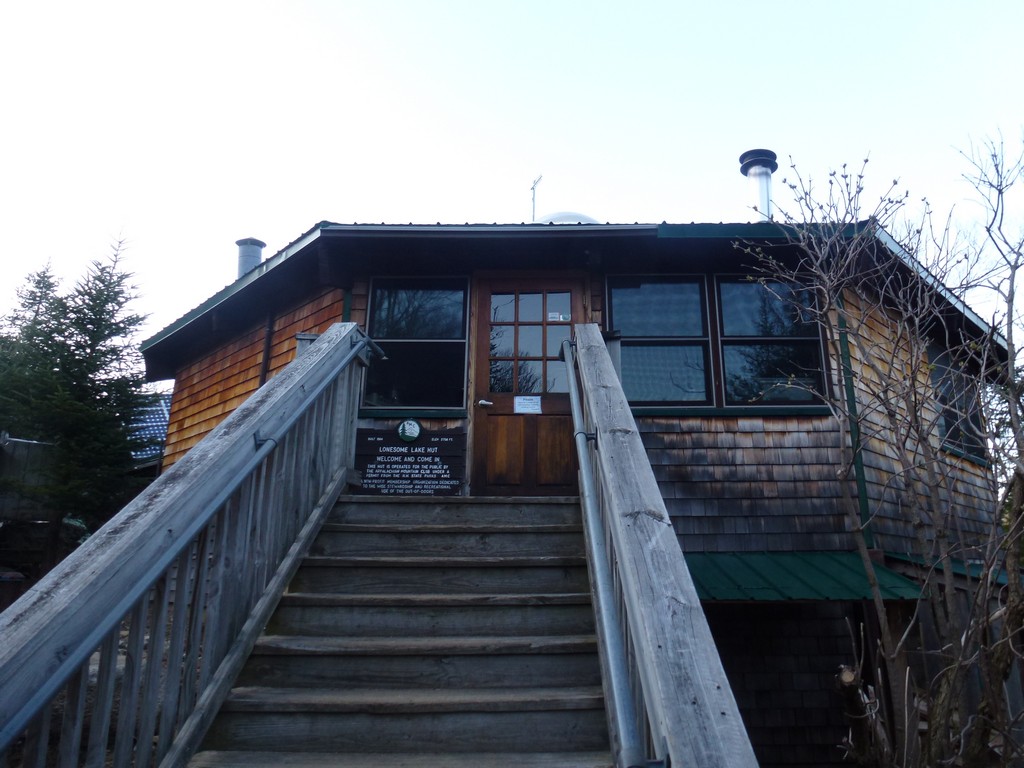
Luckily once we got past the steeper sections most of the ice went away and we were left with just monorail along the center on the trail. That eventually got more and more broken up and finally went away completely by the time we reached Lonesome Lake. The last half mile or so to Lonesome Lake was actually mostly try with just a maddy patch here and there where the trail did not drain well. Seeing the Lonesome Lake AMC hut pop up was a very welcome sight.
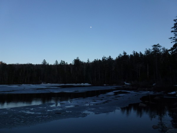
We had made pretty good time and it looked like we would actually be able to finish before it got totally dark. The sun was getting very low on the horizon though and would probably set before we reached the trailhead. I did get to see the final rays of the sun lighting up the peaks of Franconia Ridge on the other side of the notch which is one thing I was hoping for. We stopped at the lake for a short rest and to have a little snack before starting into the home stretch back to the trailhead.
|
I could tell it was already starting to get dark by the time we reached the other side of the lake. The sun had already gone behind the Kinsmans and daylight was not going to last long. Luckily the Lonesome Lake Trail was in great shape from that point on. There were rocks to dodge around in some places and some muddy patches in the upper reaches but there was not much ice at all, just a little patch hiding among some rocks here and there. As we descended the trail improved and the lower portion felt like we were on a highway.
|
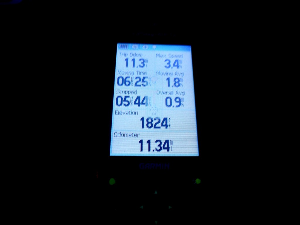
It was already pretty dark and pretty late by the time we reached the car though. I needed gas and we also stopped for some snacks for the ride home but there was no time for a good post hike dinner unfortunately. It was a long day that had its scary moments but we managed to get all three peaks we planned for and Max even got the East Cannonball if he ever decides to go for the New England Hundred Highest list.
|
|
|---|
|
|---|


