|
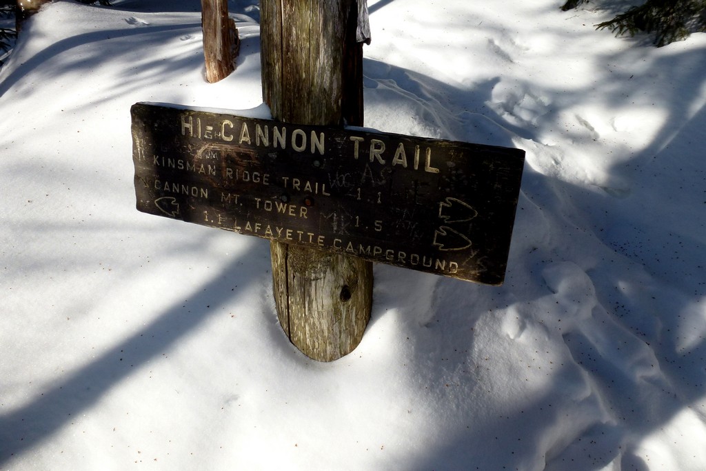
Cannon Mountain, North & South Kinsman day hike |
|---|
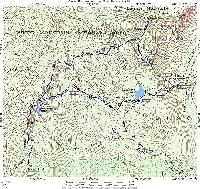
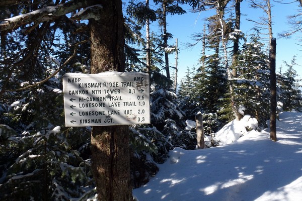
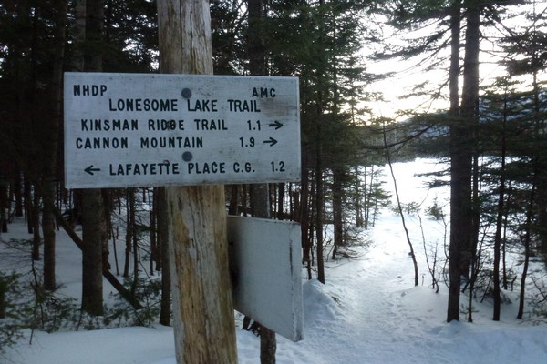
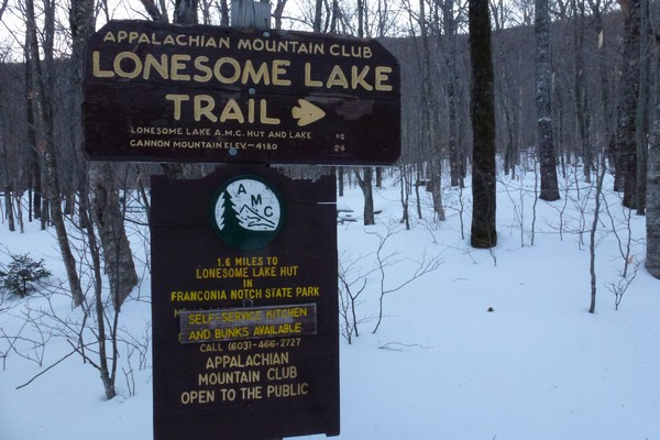
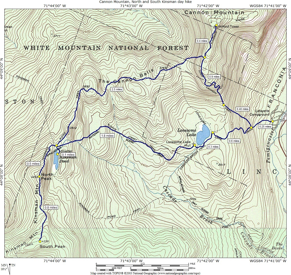
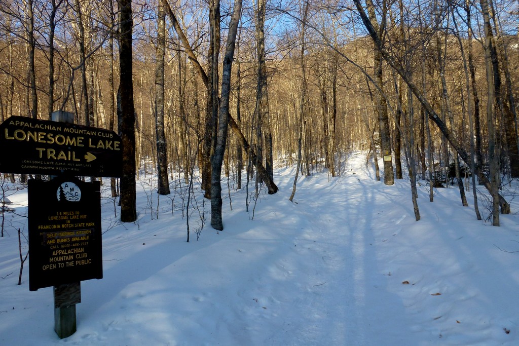
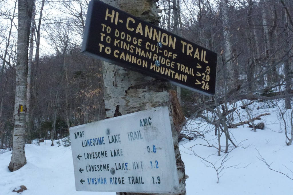
This day hike started at the Lafayette Place campground on the southbound side of I-93. From there I took the Lonesome Lake Trail to the High Cannon Trail to the summit of Cannon Mountain. I then came back down the High Cannon Trail to the Kinsman Ridge Trail and took that out to Kinsman Pond, North Kinsman and finally South Kinsman. I came back along the Kinsman Ridge Trail to Kinsman Pond and from there picked up the Fishin' Jimmy Trail and took that back to Lonesome Lake. From Lonesome Lake I took the Lomesome Lake Trail back to Lafayette Place.
|
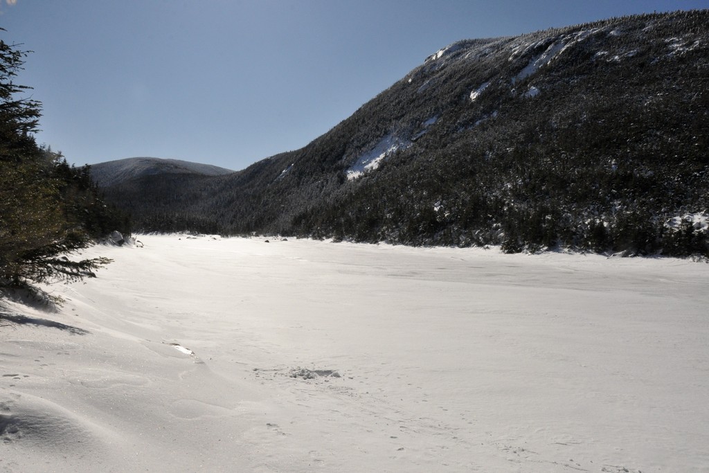
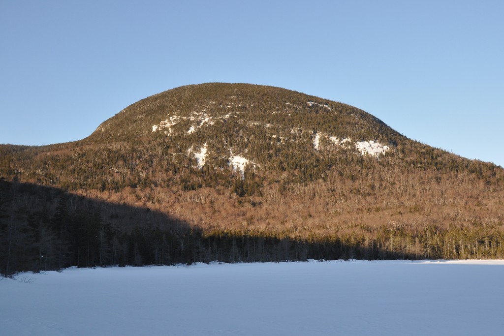
The starting point for this hike was the Lafayette Place camping area, off of the southbound side of the Franconia Notch Parkway (I-93). The road next to the trailhead is closed to wheeled vehicles in winter season so I had to park next to the Vistor Center.
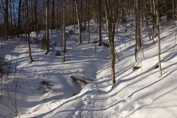
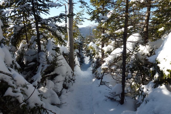
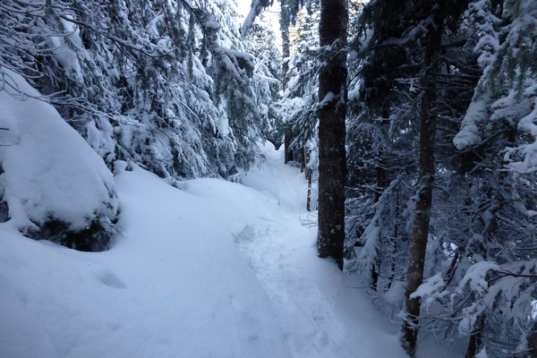
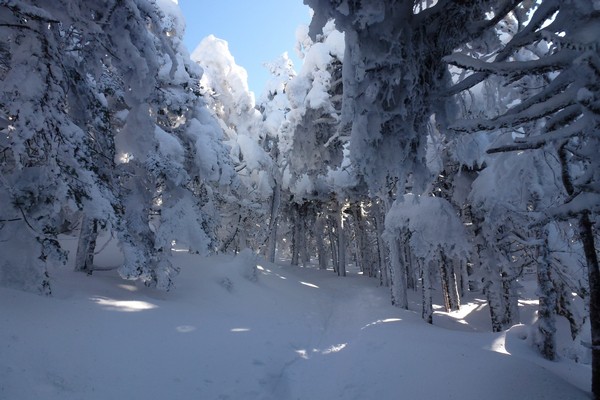
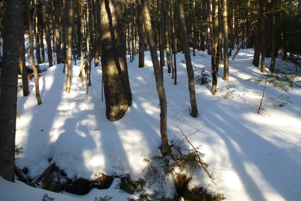
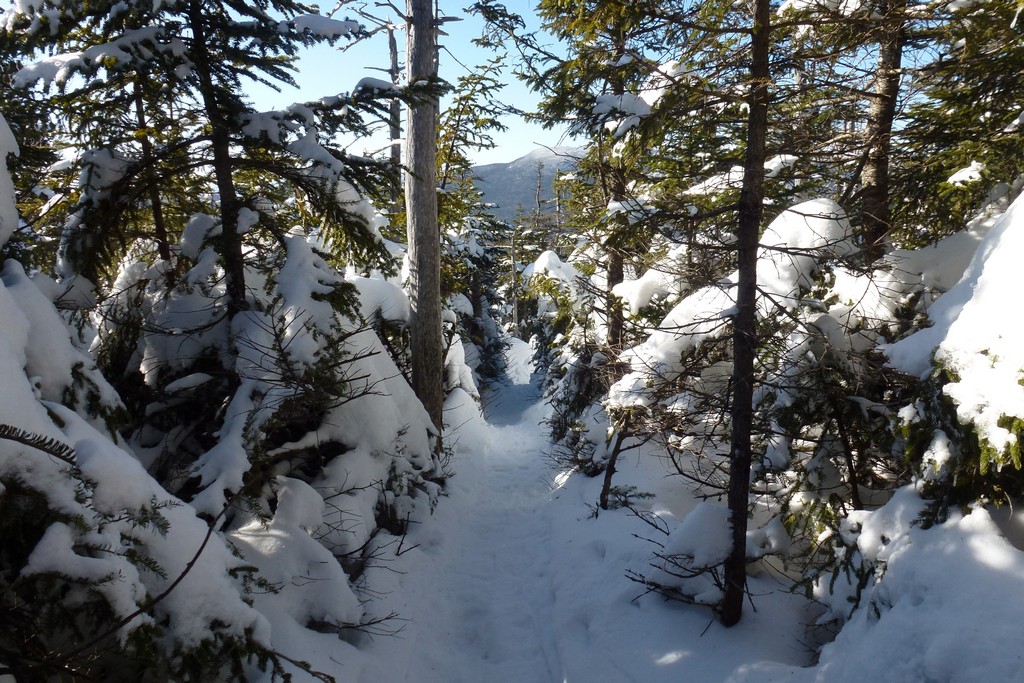
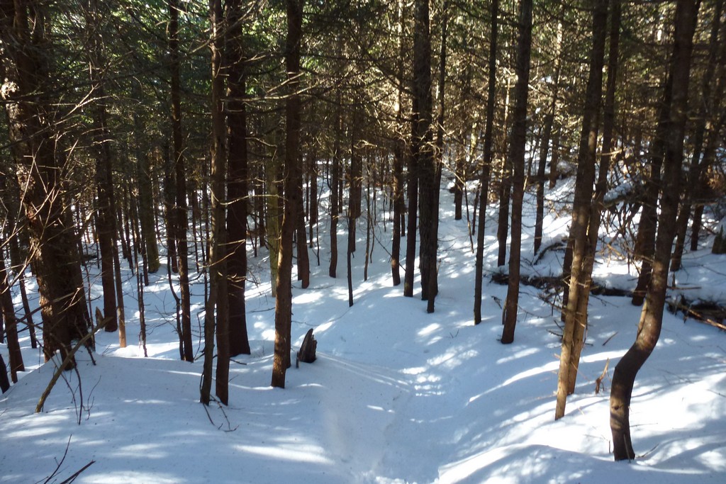
The inital hike up the Lonesome Lake Trail to the High Cannon Trail was uneventful. There had obviously been plenty of use on the the trail and the snow was well packed.
|
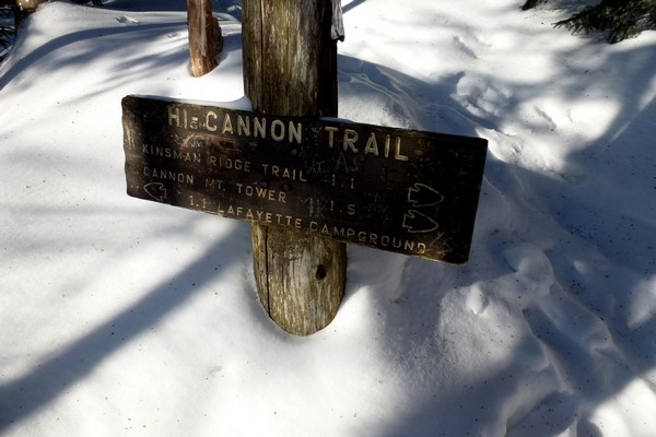
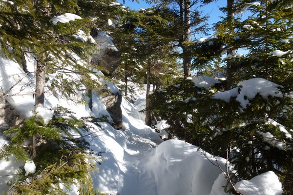
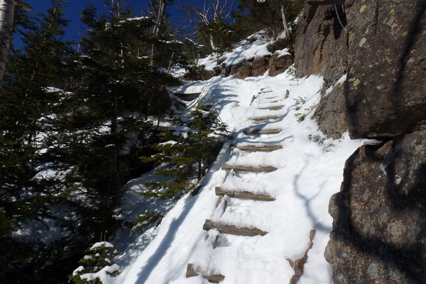
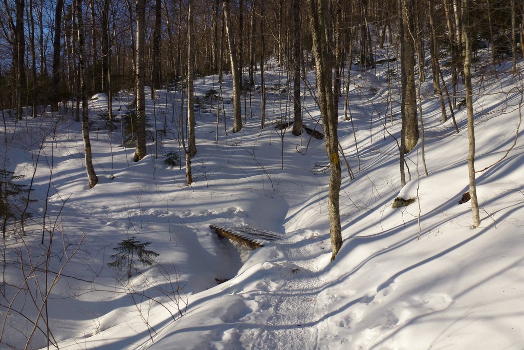
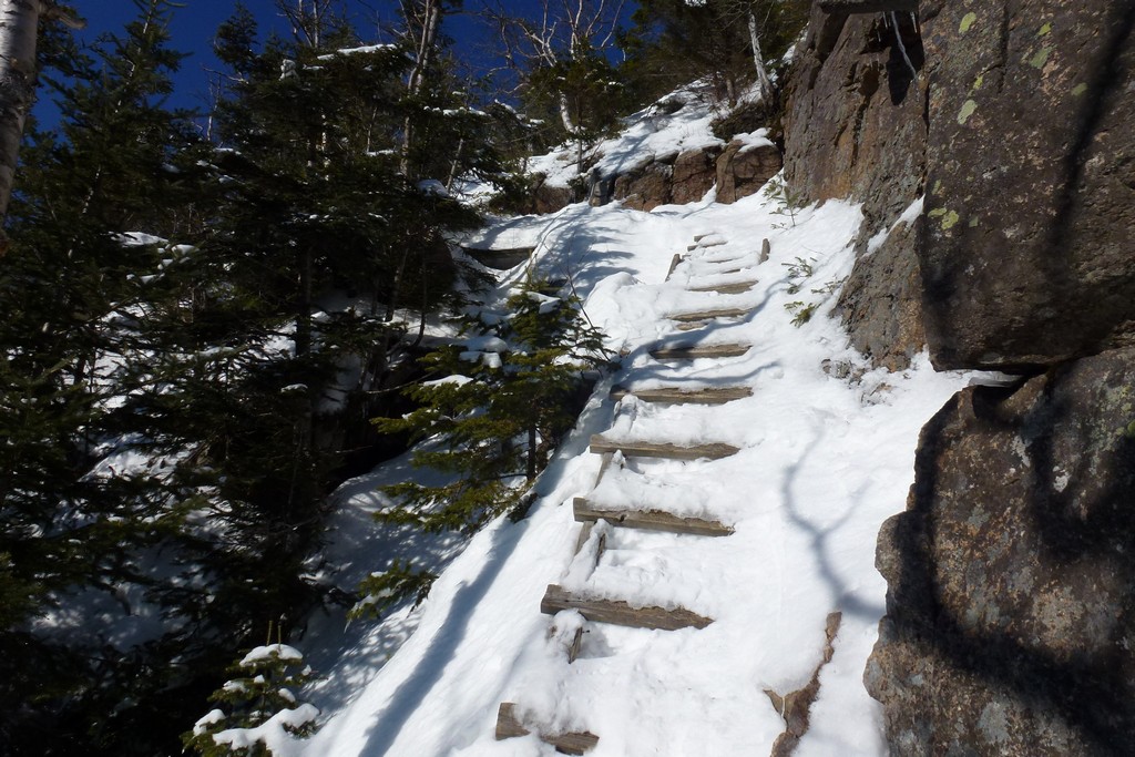
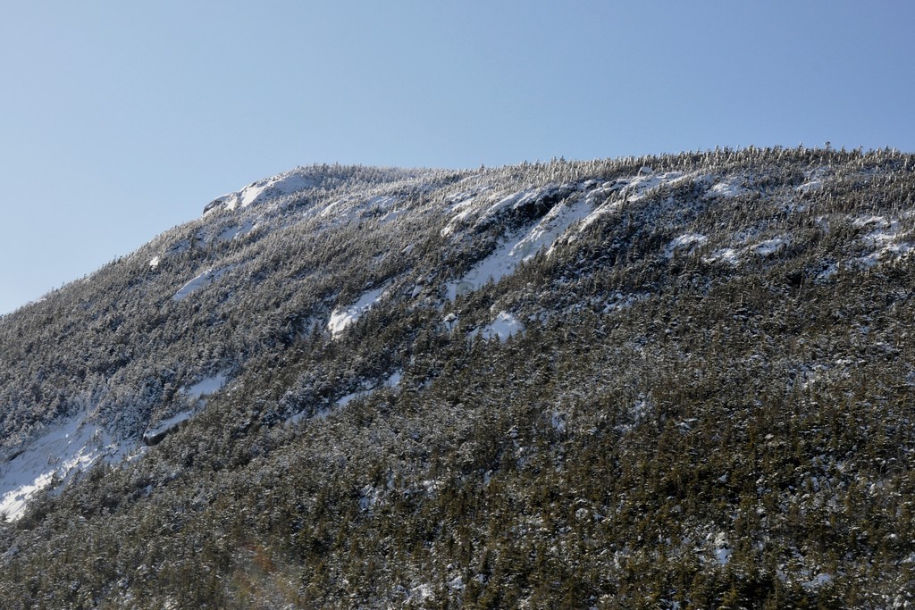
The High Cannon Trail had deeper and less firmly packed snow and probably was not seeing as many hikers. The last person on the trail before me had apparently come down the trail and had been wearing snowshoes. Although there were a couple of short stretches where snowshoes may have made going easier these were few and far between and I did fine with just my microspikes. There were some steep sections higher up (like the ladder) where snowshoes would have been more of a hinderence than anything else.
|
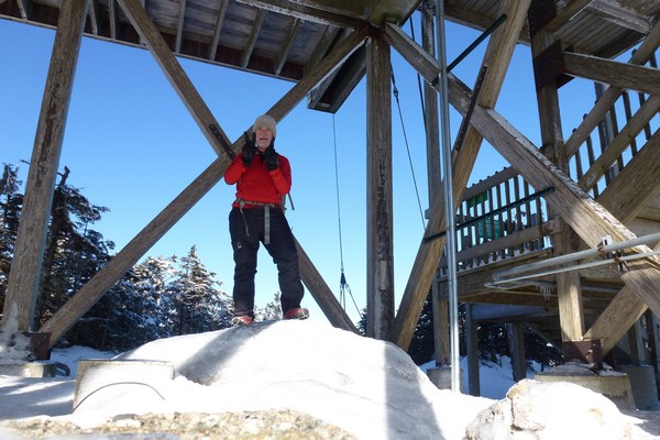
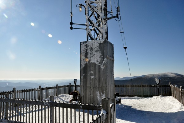
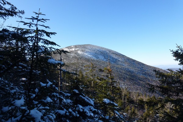
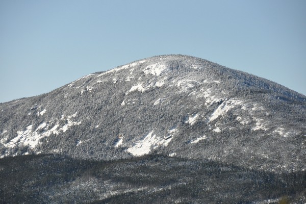
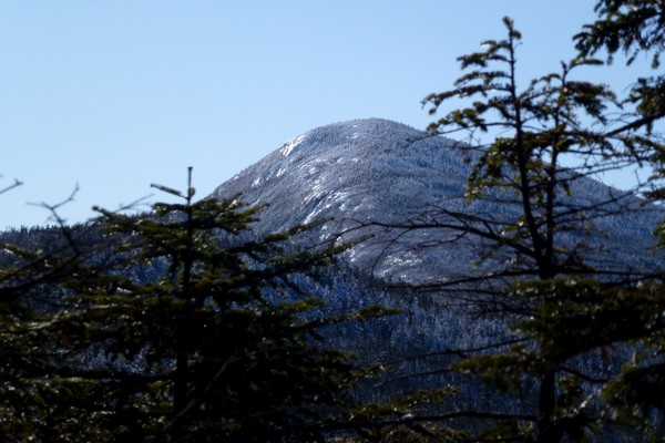
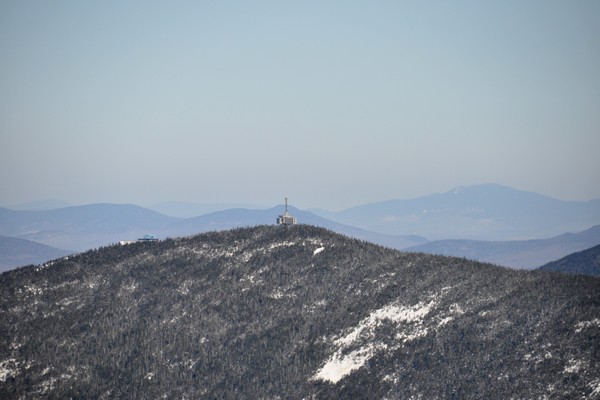
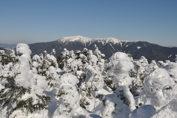
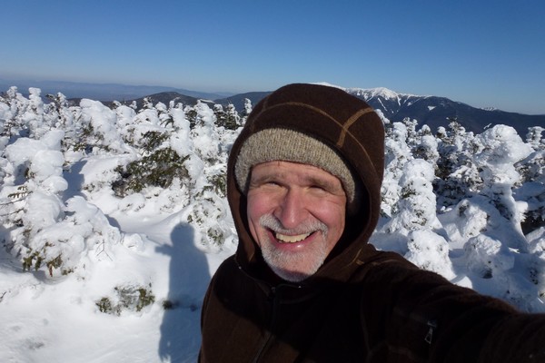
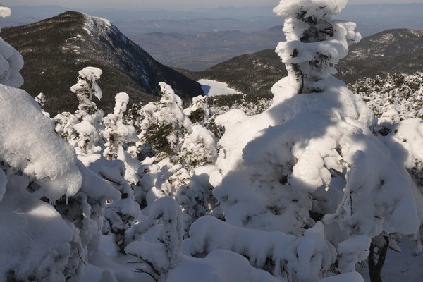
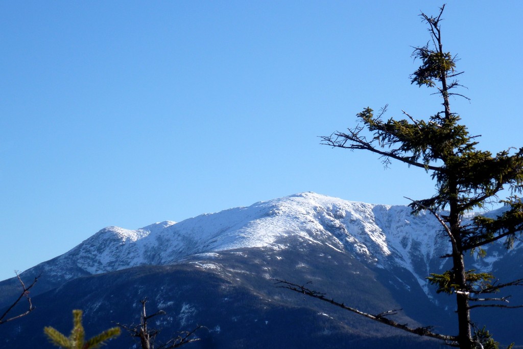
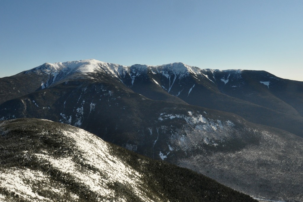
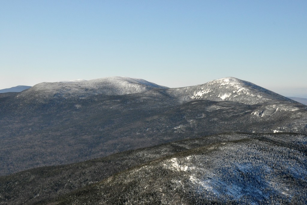
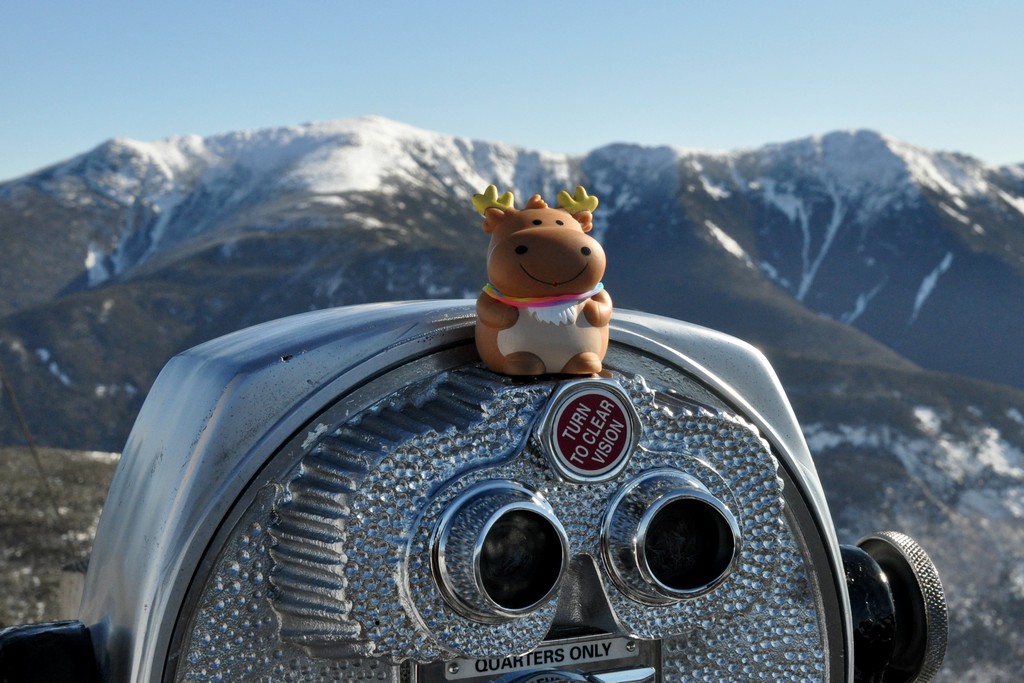
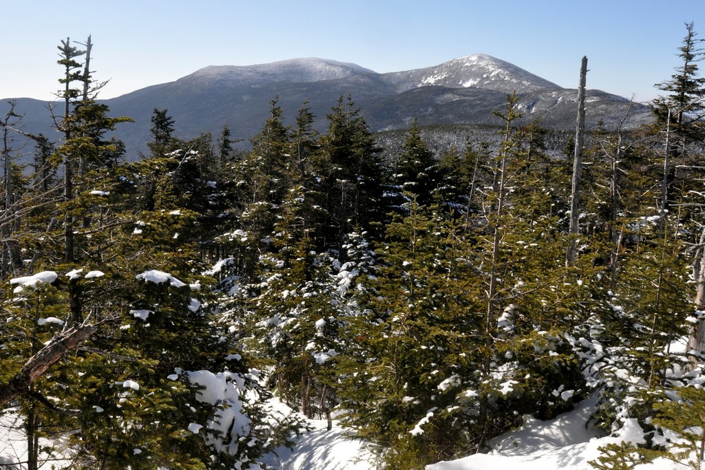
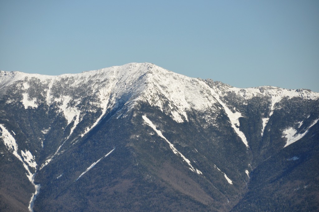
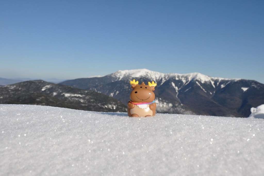
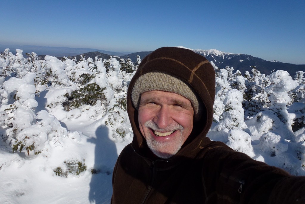
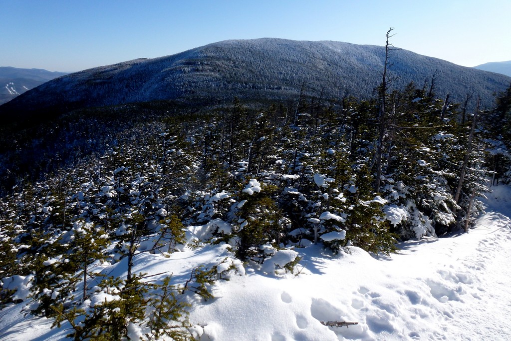
It took just about 2 hours to get to the top of Cannon Mountain and I generated a lot of body heat coming up the High Cannon Trail. Even though I knew it was quite cold out I just kept shedding layers in an effort to prevent myself from sweating. I had to put a layer back on when I climbed to the top of the observation platform as the wind up there was just going right through me. I did not stay up there long; just long enough to take some photos.
|
I was looking forward to taking the Kinsman Ridge Trail over to Kinsman Pond since I had never hiked that section of the trail before. When I originally planned this hike I was just going to use the Fishin' Jimmy Trail to go out to the Kinsmans and then come back the same way, as I had done before. At the last minute I decided to add Cannon Mountain to the list since it was right there and I did not have it as a winter summit yet. Taking the Kinsman Ridge Trail over to the Kinsmans was then the obvious choice.
There were a few steep icy sections along the trail but only one that really gave me any trouble. It was very close to Cannon Mountain and I noticed a bypass route going through the snow before I got to it but when I looked at it I thought the microspikes would be able to handle it. This ice was the hardest ice I had even seen and the microspikes just slipped right off of it instantly. I ended up on my butt and started sliding down the ice flow. It was not high and there was snow below so even if I had gone over the edge it is doubtful I would have hurt much more than my pride. After a dozen feet or so I slid into a tree before going over the edge. Going over the egde probably would have been easier as trying to get up on the ice from behind the tree was no easy task. When I did finally get up I also had to climb back up the ice and then around to the bypass route.
Note to self: When there is a bypass route there is probably a good reason for it so use it.
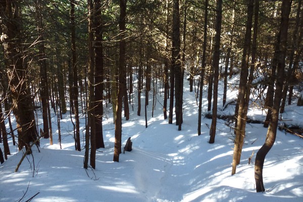
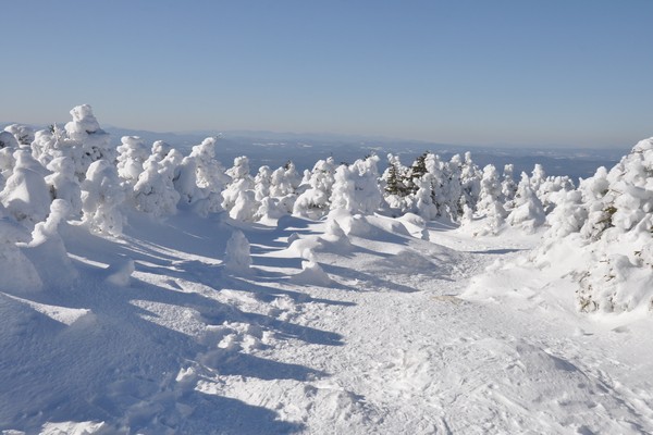
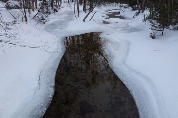
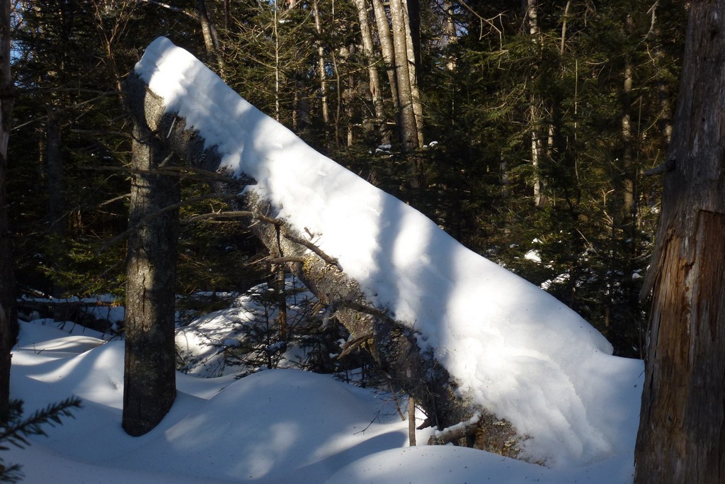
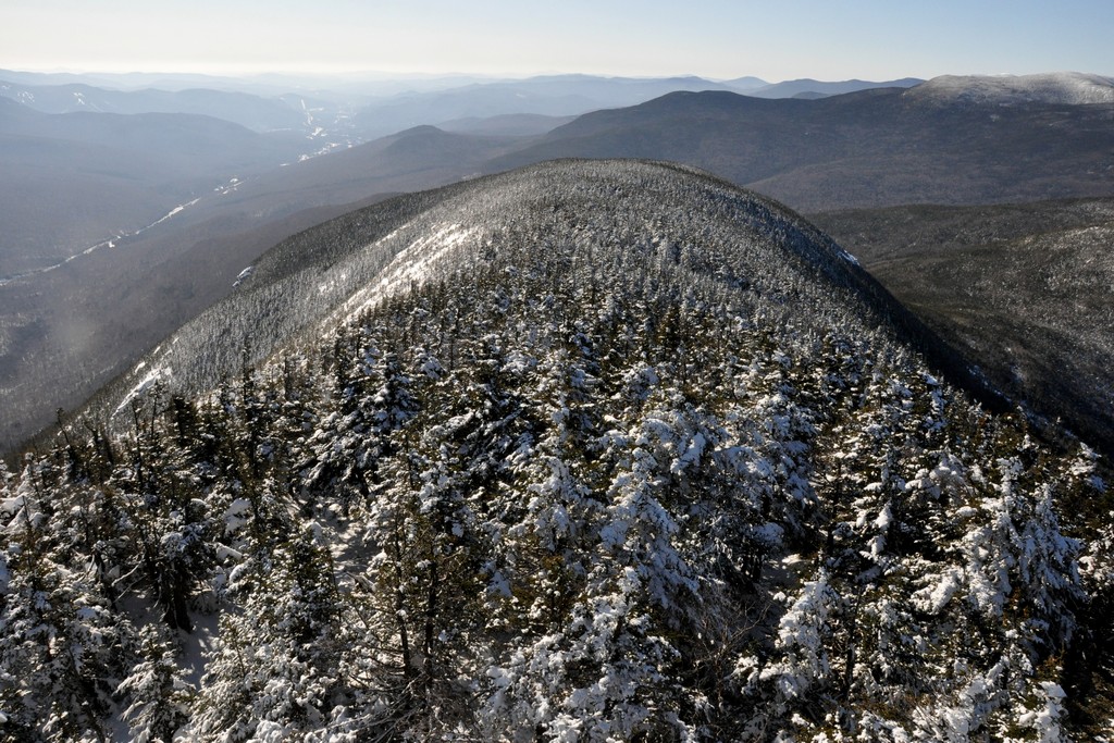
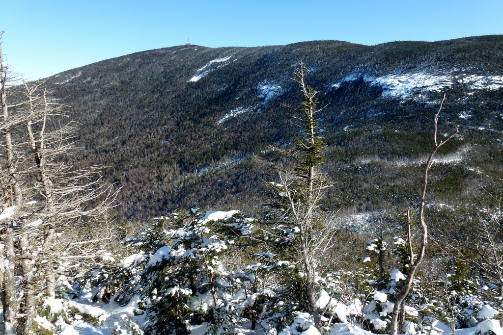
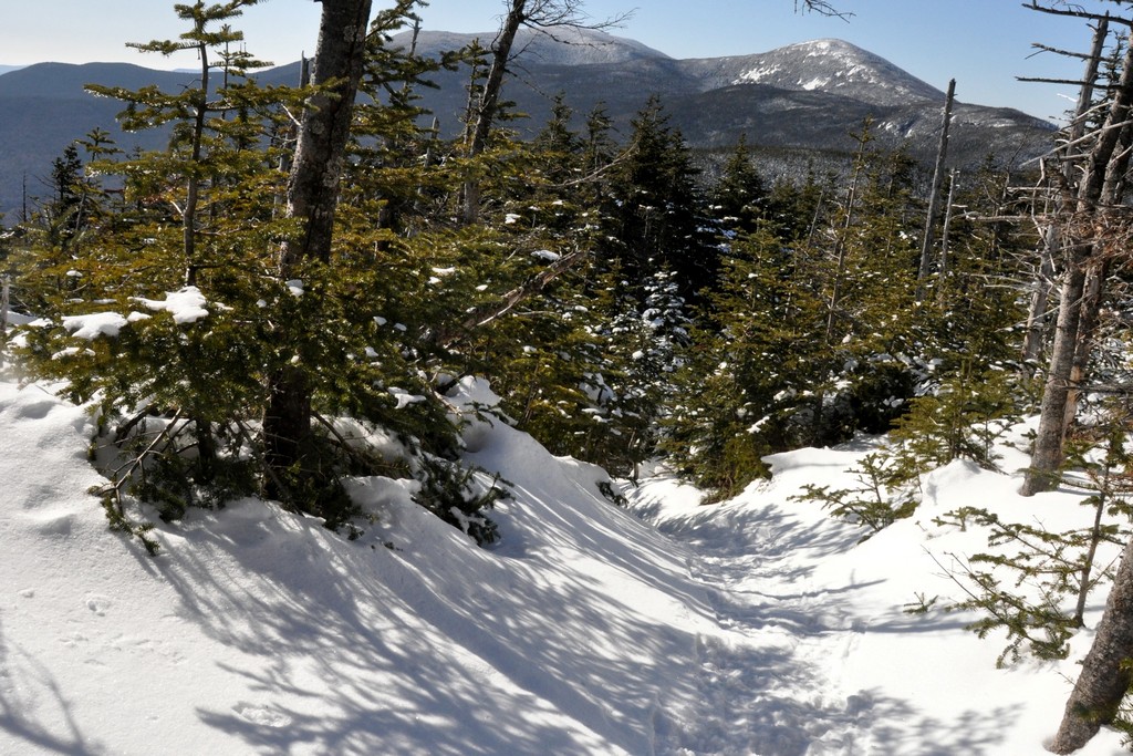
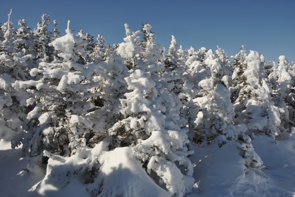
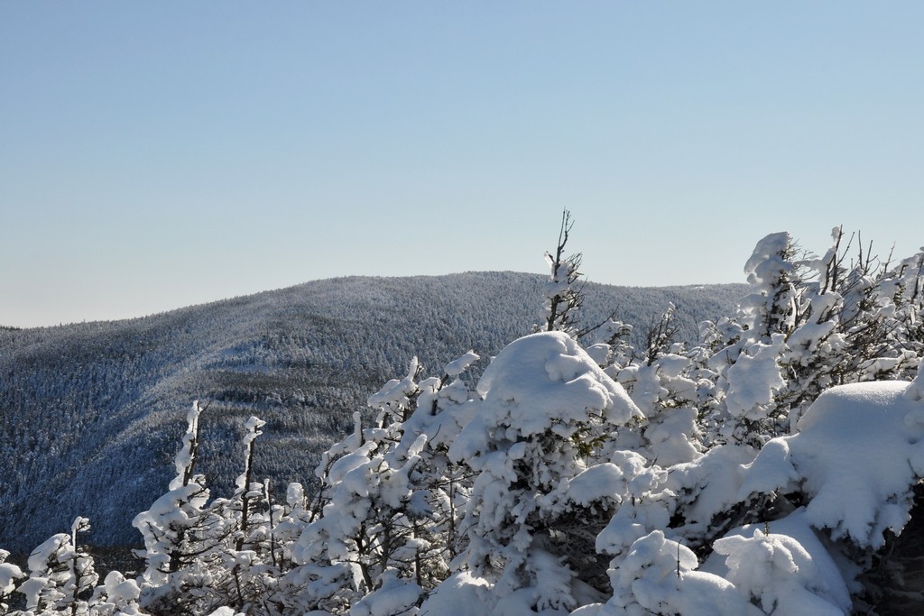
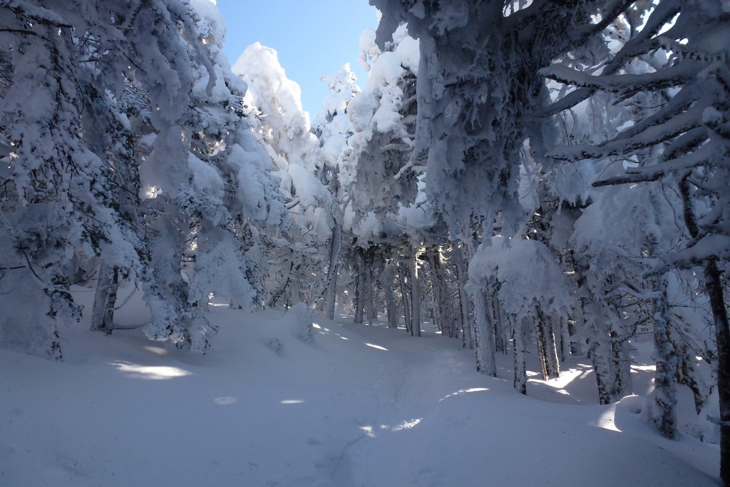
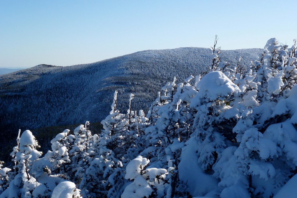
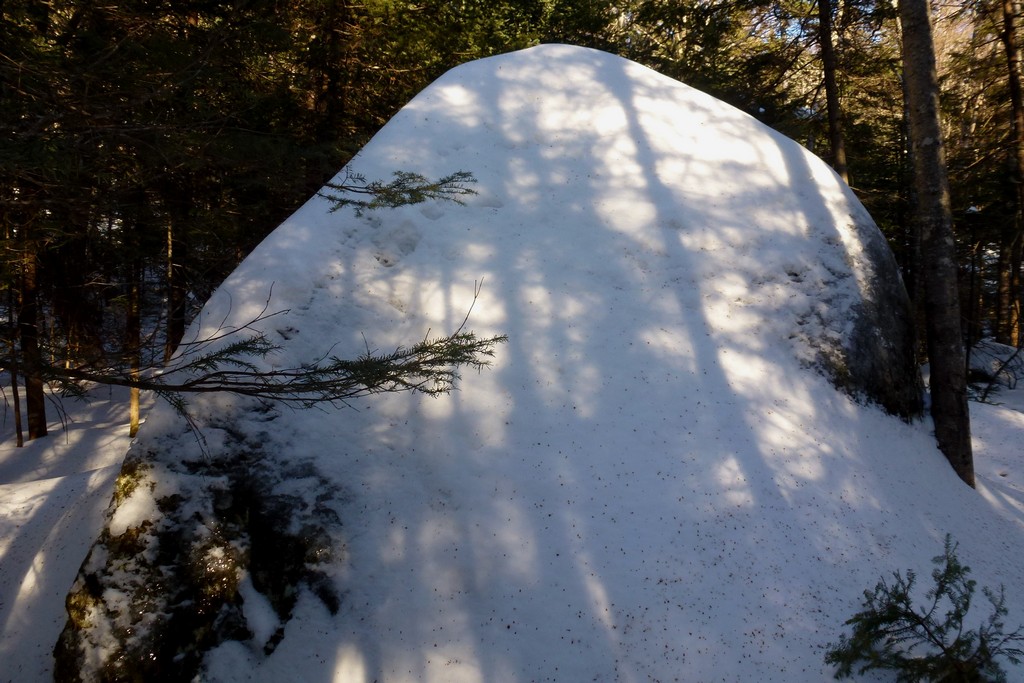
I encountered a few more frozen springs and other icy spots along the ridge but nothing that first one. Most of these were going up which made them a lot easier to navigate. There was also a lot more snow in a couple of the up-slope areas on the north side of the Cannonballs. Having snowshoes on in these sections probably would have made getting past them a little easier but neither of them was very long and it was easy enough to trudge through the snow. It was deep but not so deep that I was postholing or anything.
|
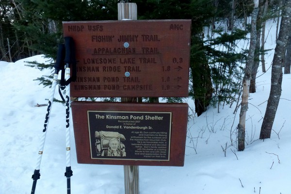
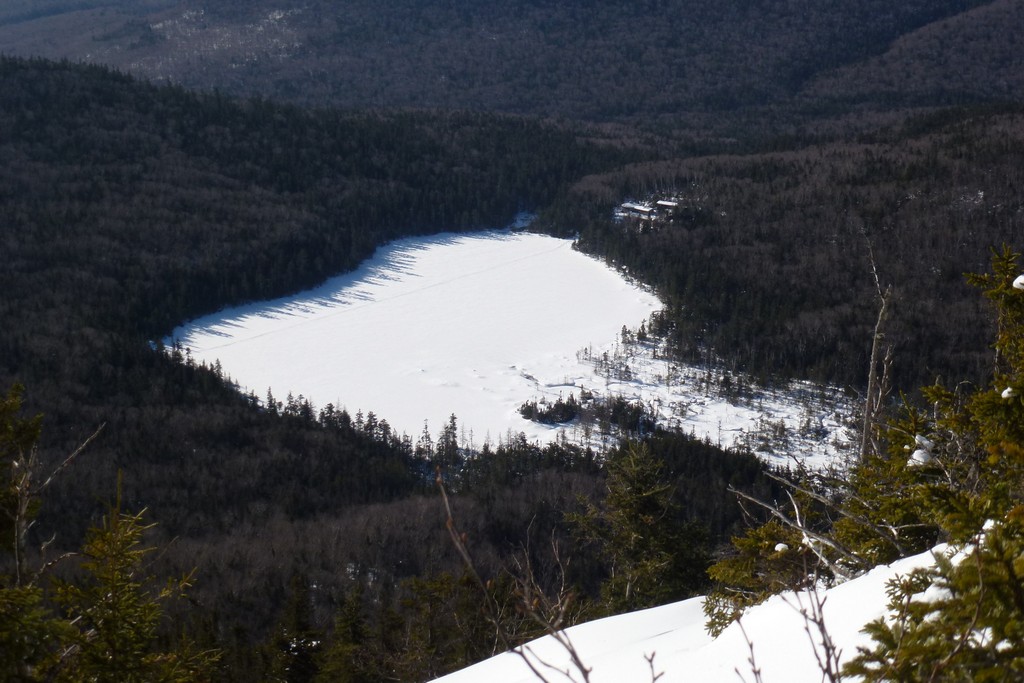
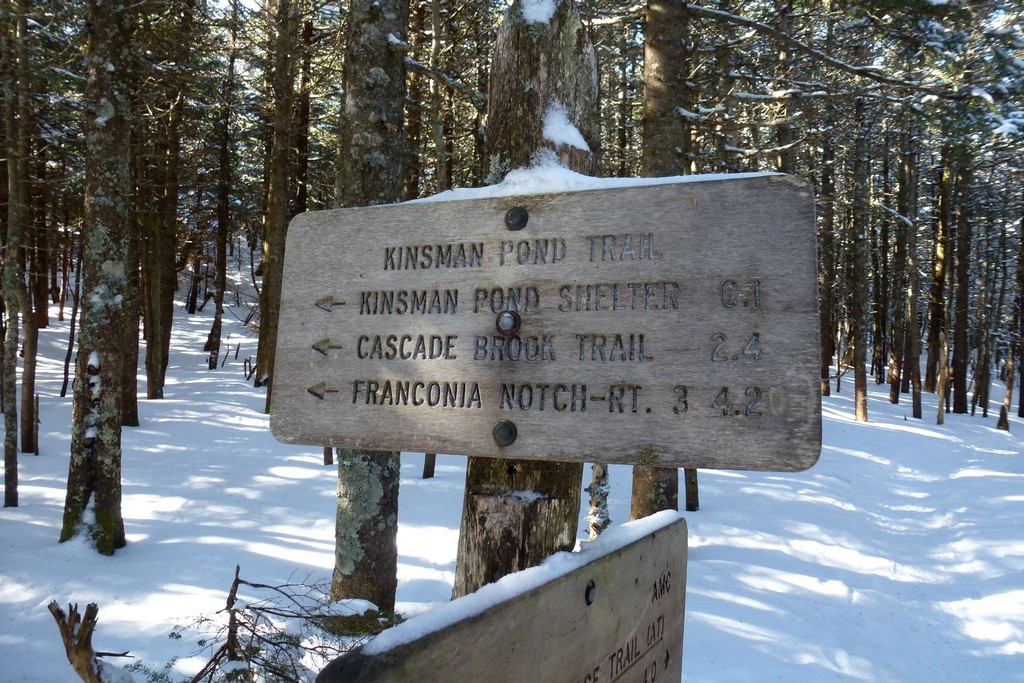
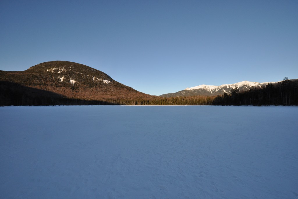
I was not paying attention to the time at all coming across the Cannonballs and was horrifield to see it was already 1pm by the time I got to Kinsman Pond. I still had the Kinsmans to do and was wondering if it would be possible to get both of them done and get back to the parking lot before it got dark. I knew the Fishin' Jimmy Trails had some steep sections that were likely to be very icy which would slow me down a little too.
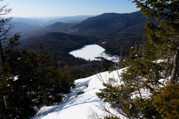
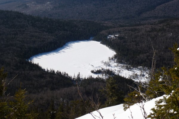
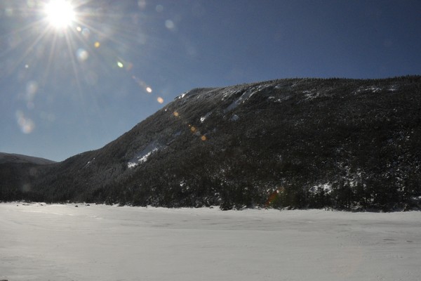
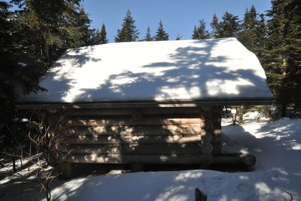
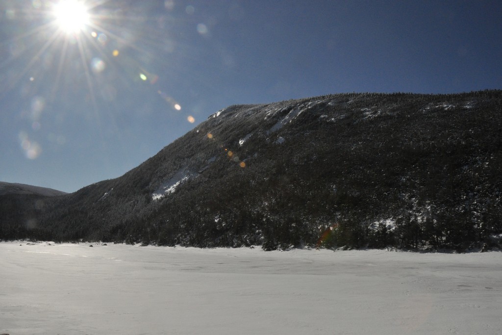
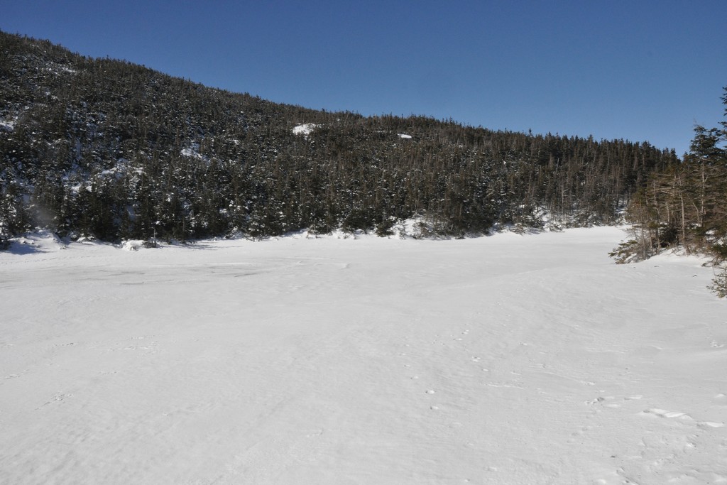
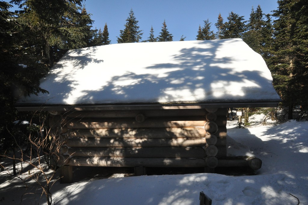
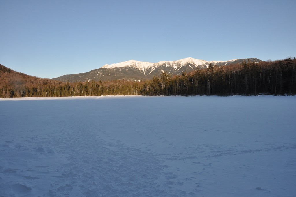
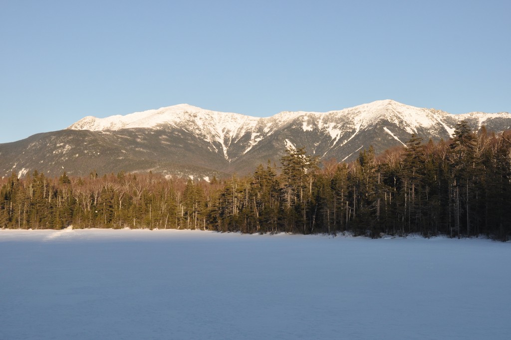
I had to go and get some photos of Kinsman Pond since that was the primary reason for wanting to come in this way so I did that. I also hadn't had my lunch yet so I sat down inside the Kisman Pond shelter and ate my PB&J sandwich and got the pack off for a while. I woofed down the sandwhich and was not there very long at all. I knew I needed to get moving ASAP.
|
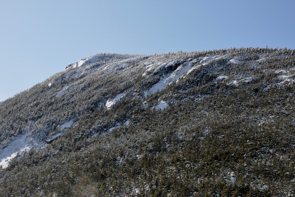
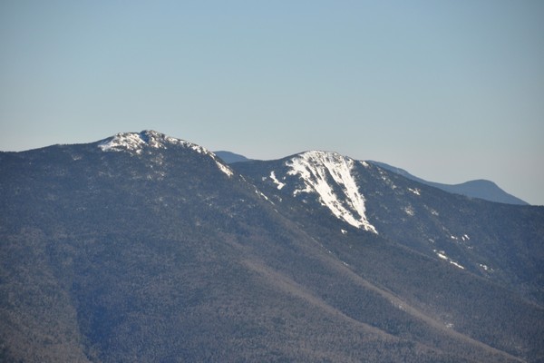
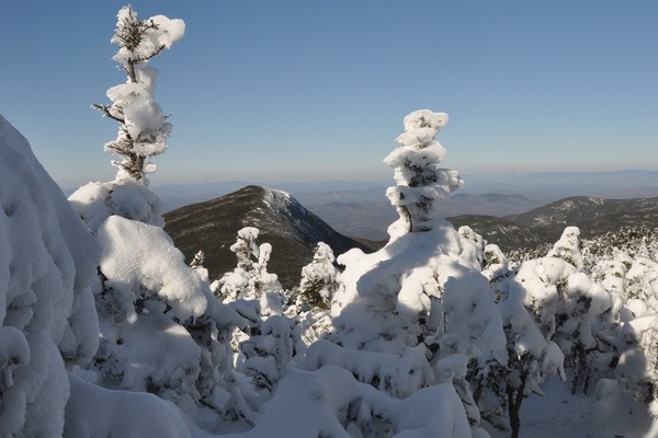
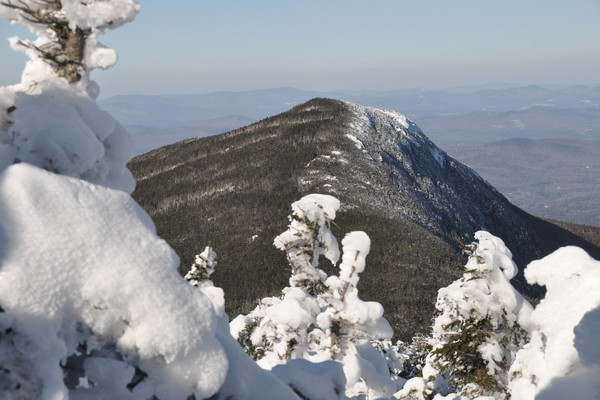
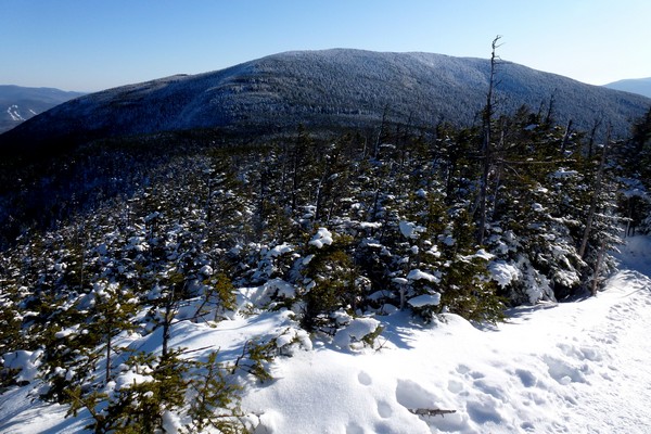
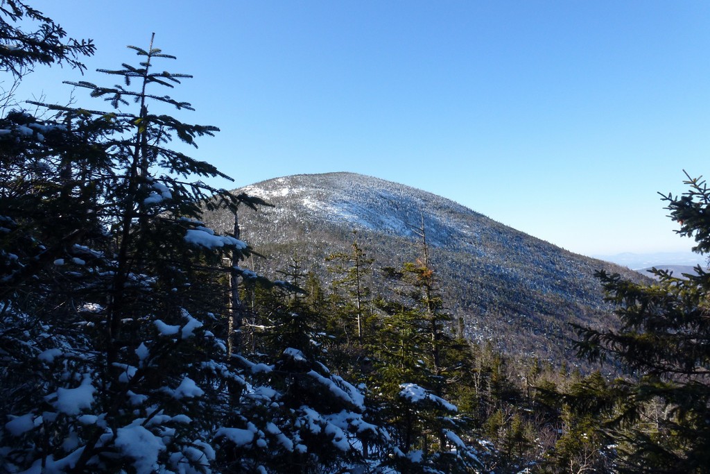
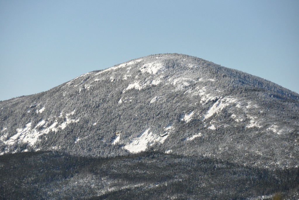
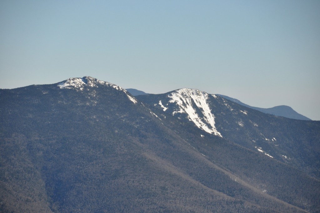
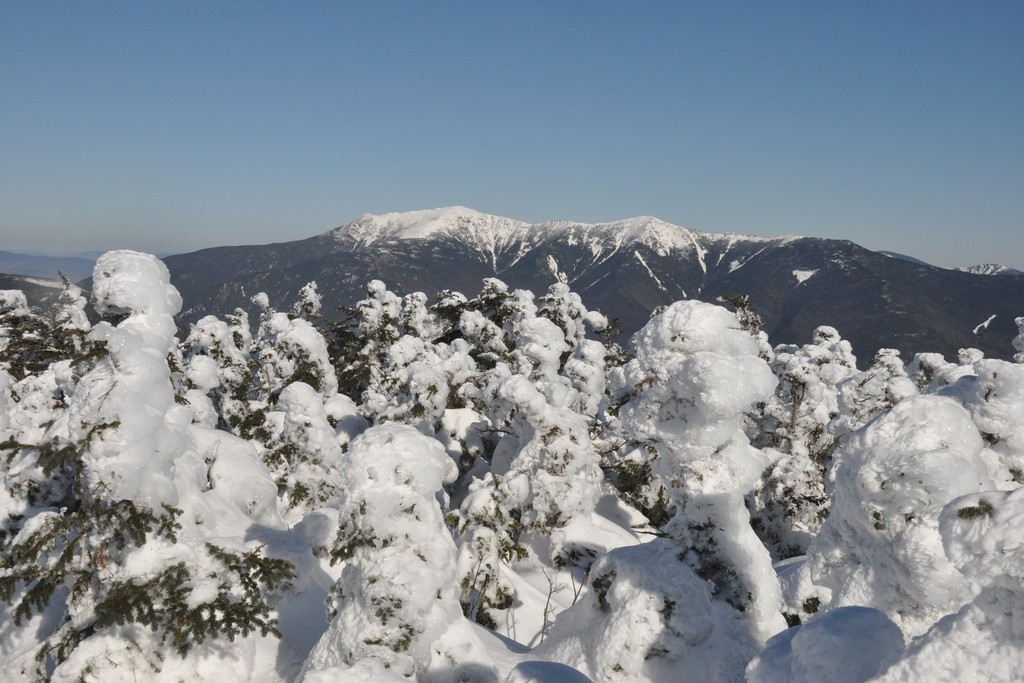
Once I did start moving it really did not take that long to get to the top of North Kinsman. The trail going up there is not that long and the snow and ice was not bad at all. It was just a little after 1:30 when I arrived there. I could see South Kinsman off in the distance and it looked far away but I knew it really wasn't. I did ponder skipping it and starting back but then I knew I would have to come back again sometime to get it as a winter peak. So after a brief stop on North Kinsman I headed for South Kinsman.
|
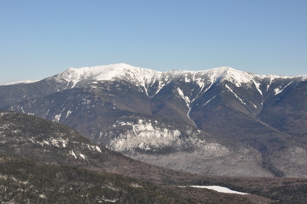
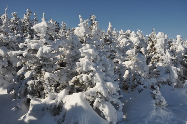
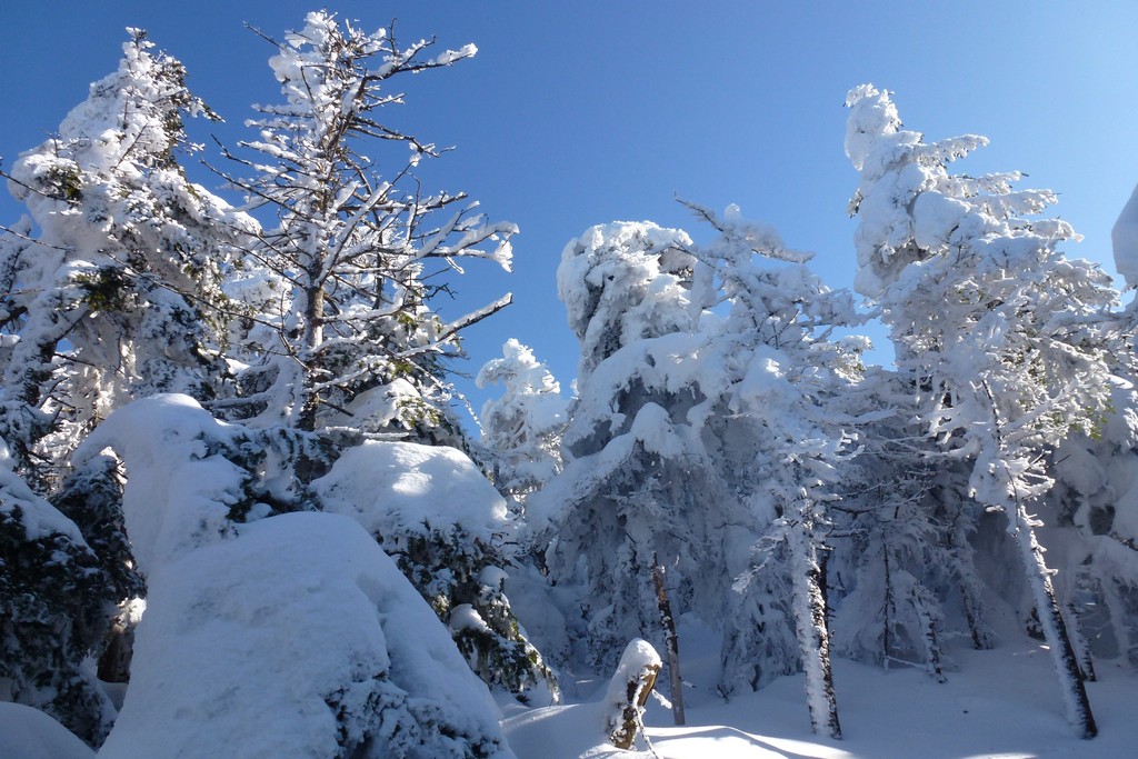
The trail heading over to South Kinsman was absolutely beautiful and there was snow clinging to just about everything. It was a true winter wonderland. There was a steep section coming off of North Kinsman that took a little time but nothing too bad.
|
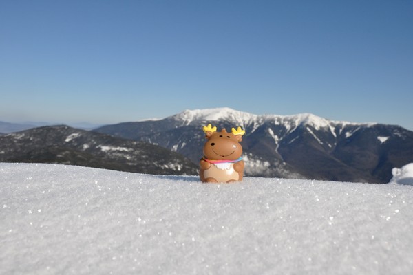
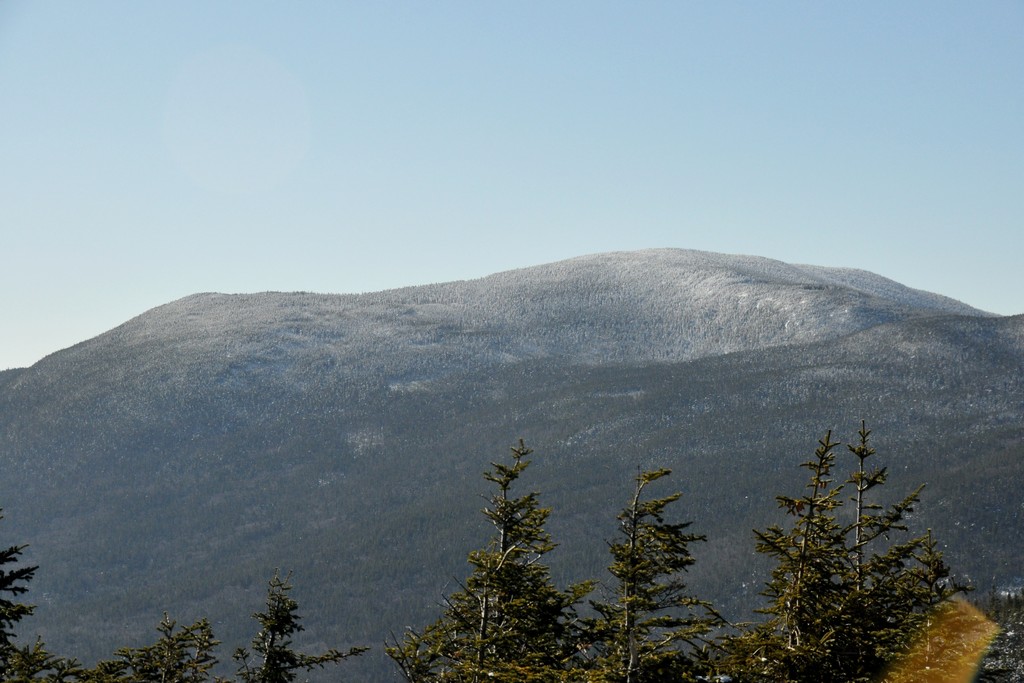
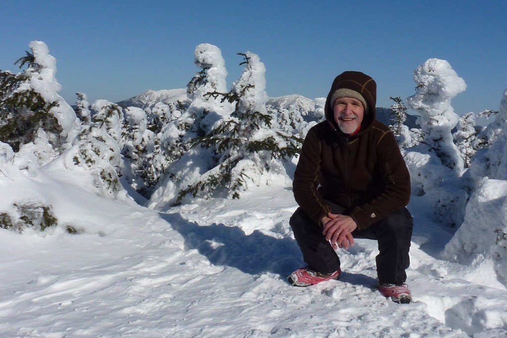
The climb up to South Kinsman was fairly easy and I arrived there just a little after 2:15. I knew I would be cutting it very close to get back to the car before dark at this point though. I only spent about 10 minutes or so taking some photos and then headed back to North Kinsman.
|
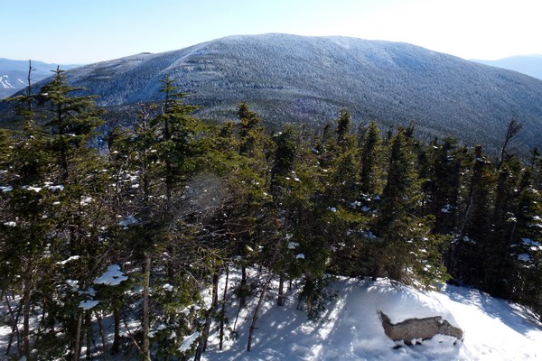
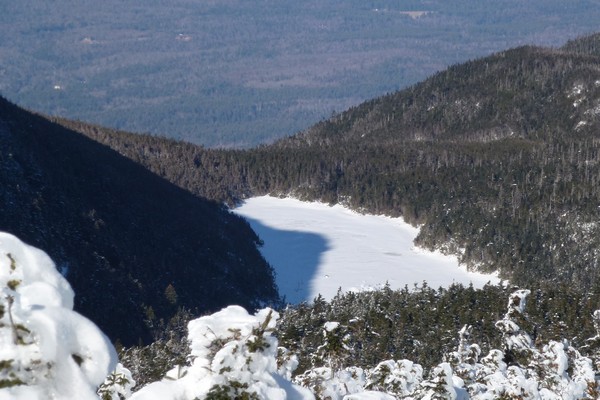
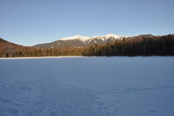
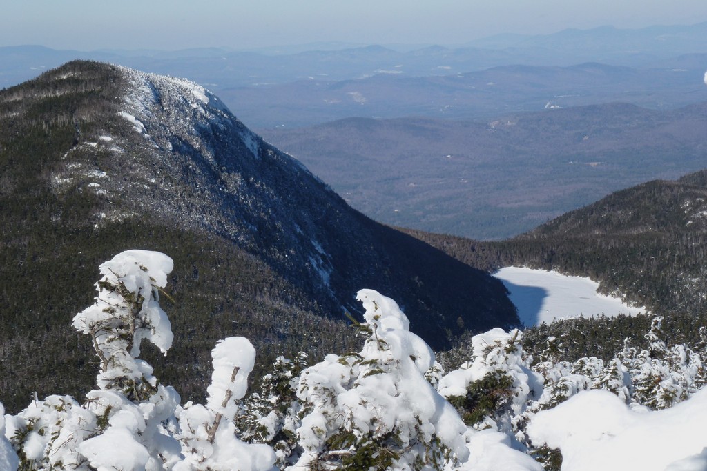
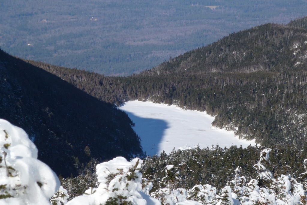
I got side-tracked on the way back to North Kinsman by an incredibly nice view of Kinsman Pond with the shadow of North Kisman being cast across it. So I had to stop again. There were some trees in the way so it took some time to find the best way to get the shot but I finally did. I had my good Nikon digital SLR camera with me on this trip, in addition to the point-and-shoot camera, just hoping for some shots like this.
|
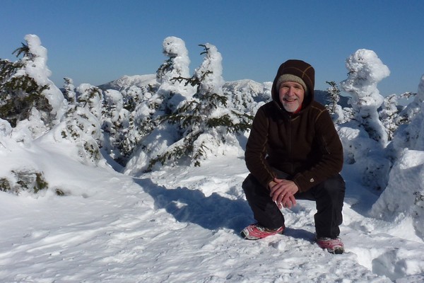
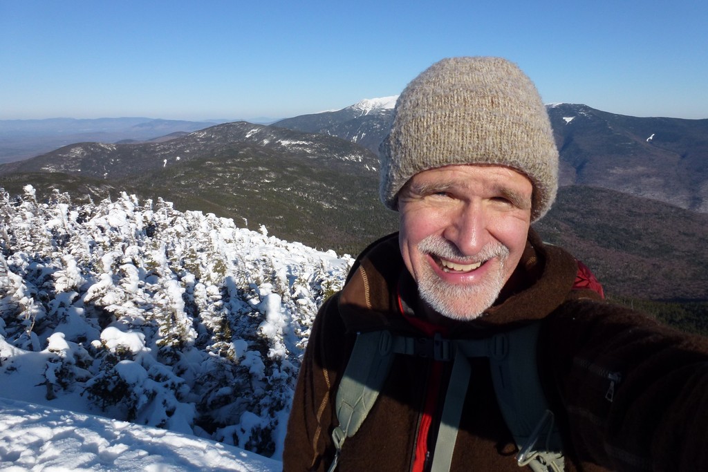
I had to stop again on North Kinman since I realized I had not taken a photo of myself up there on the first pass. It was already 3pm by the time I left North Kisman for the second time and I knew I was going to seriously have to hault butt on the Fishin' Jimmy Trail to get out before dark. I also really wanted to get to Lonesome Lake before the sun set as I was hoping to catch the last rays of the sun lighting up Franconia Ridge on the other side of the notch.
|
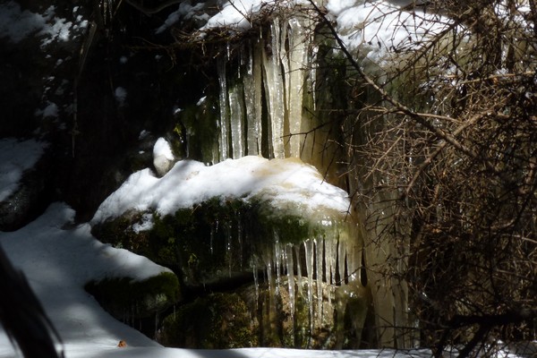
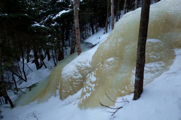
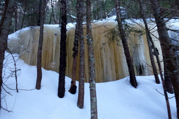
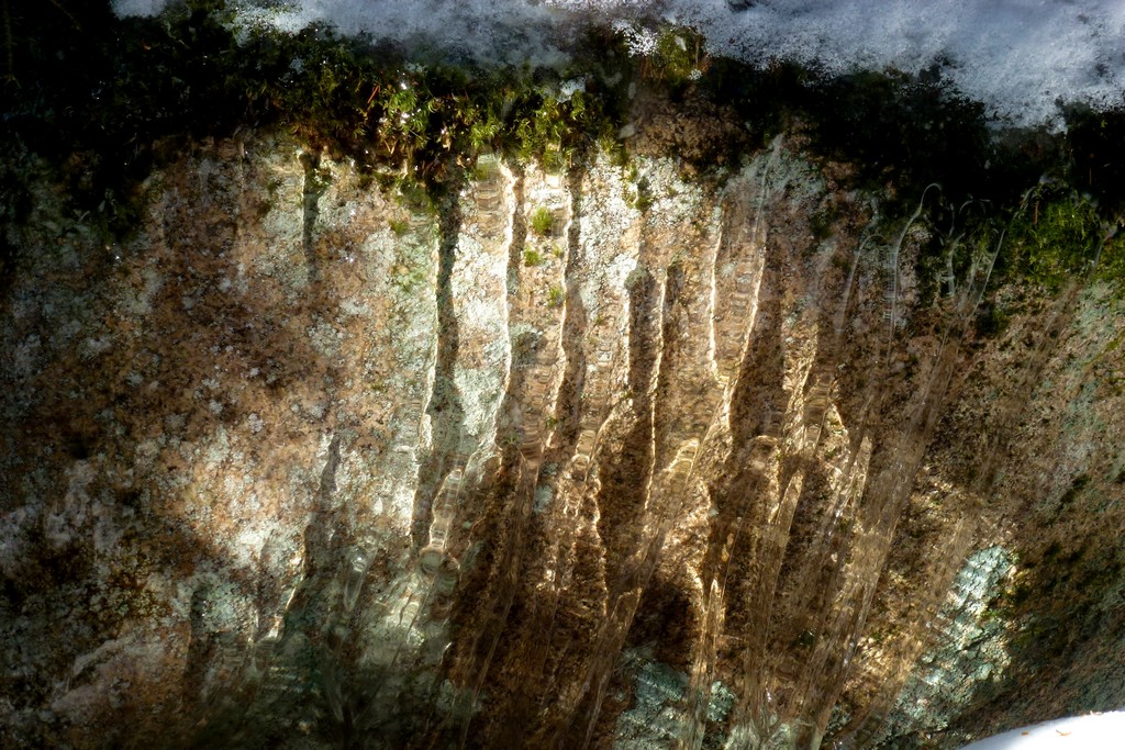
I hit some very impressive steep and icy sections on the Fishin' Jimmy Trail but nothing too serious. I had to make a couple of detours to get around these ice flows but people had already done this and path was obvious. I missed one detour when I was getting very close to Lonesome Lake and just could not figure out how people had gone up one of these. After scratching my head for a while I finally backtracked a little and found the detour.
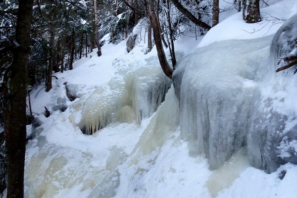
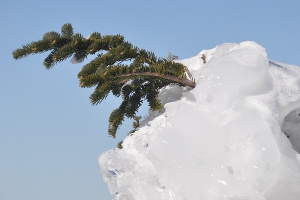
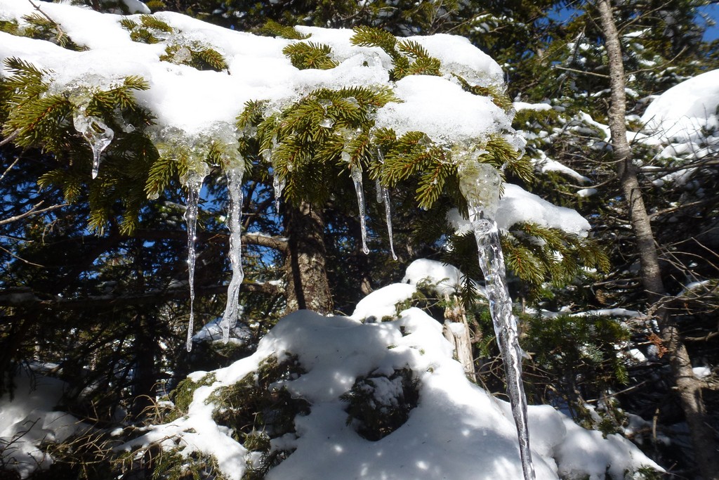
There were also some very impressive ice flows and columns on the cliffs just off to the side of the trail.
|
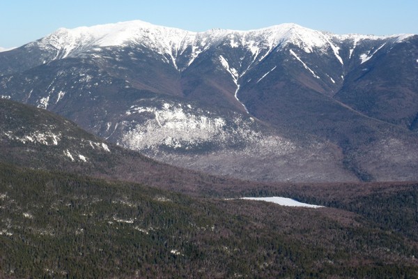
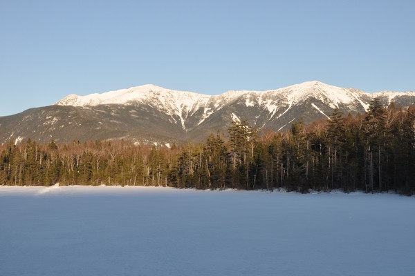
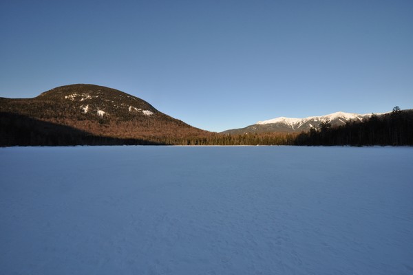
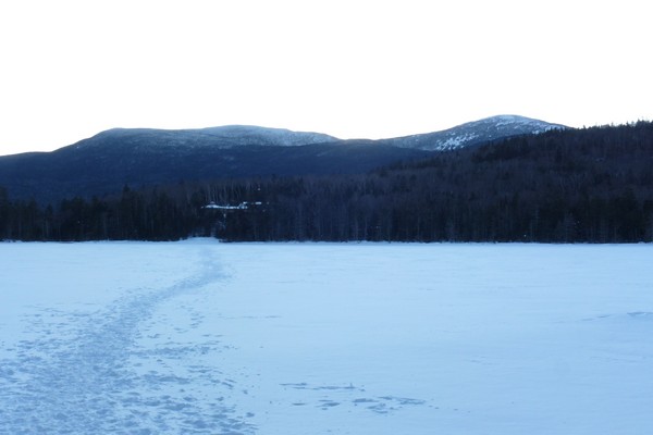
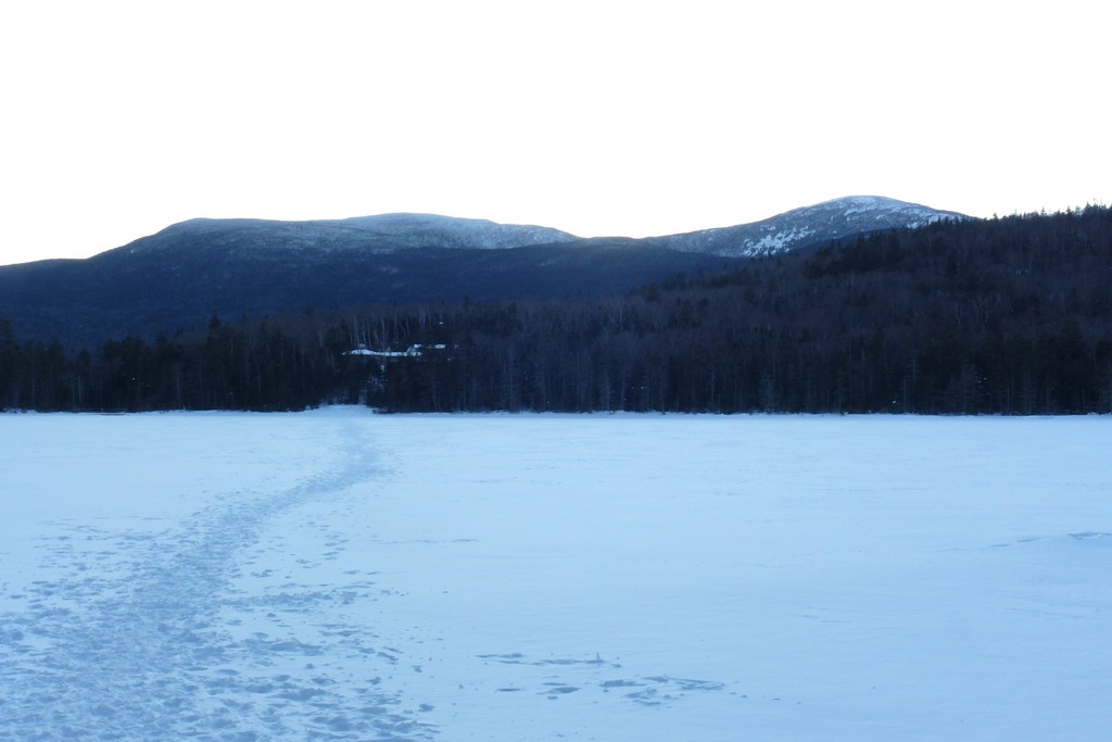
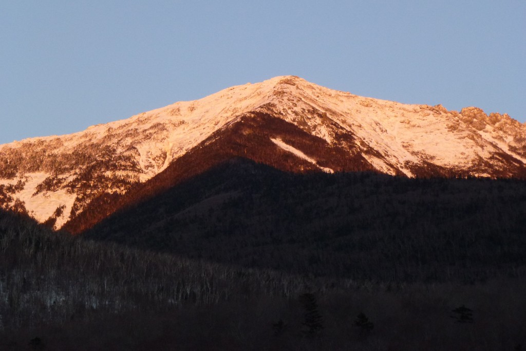
I did manage to make it to Lonesome Lake before the sun set. The last rays of the sun were just leaving the eastern edge of the lake when I arrived there and Franconia Ridge and Cannon Mountain were both lighting up nicely.
It was nice that there was actually across the lake which saved a little time as well.
|
I continued my speed-demon-pace down the Lonesome Lake Trail, determined to get back to the Lafayette campground befoire the sun set. It just amazes me how fast you can move down some of these downhills sections in the winter, using the snow to slow you descent just enough.
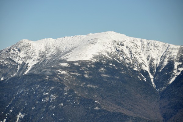
When I arrived back at the Lafayette campground the last rays of the sun were still lighting up Mount Lincoln and I knew it would not be long before the light was gone. I generated a lot of heat during those last couple of miles and my clothes were soaked so after changing into something clean and dry I started the three-hour drive home.
|
|
|
|---|
|
|---|


