|
Mount Isolation day hike |
|---|
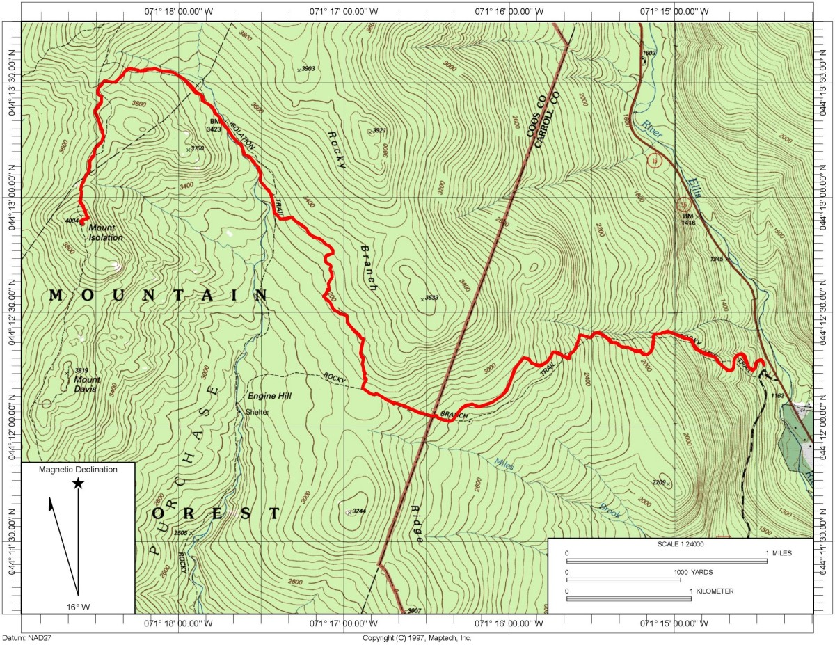
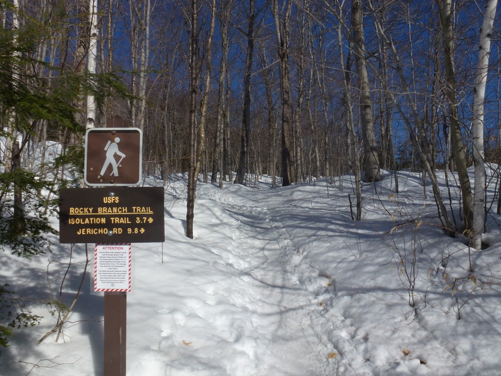
This day hike started at the parking area for the Rock Branch Trail on NH Route 16, about 5½ miles north of Jackson. From the trailhead I hiked the Rocky Branch Trail to the Engine Hill bushwhack and then followed that to Rocky Branch and the Isolation Trail. I took the Isolation Trail to the Isolation bushwhack and then that to the Davis Path and finally to the Mount Isolation summit.
|
The starting point for this day hike was the parking area for the Rock Branch Trail on NH Route 16. Mount Isolation would be number 46 on my New Hampshire 4000-footer winter list and probably the last I would get for the season. I was doing this hike solo and it was the first solo hike I had done in a long time.
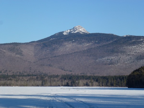
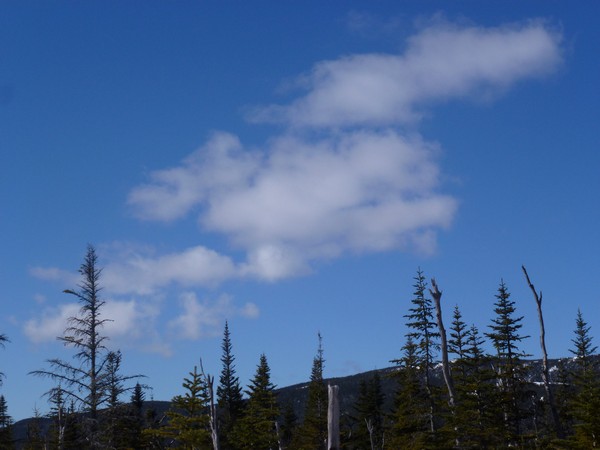
I got a late start for this one arriving at the trailhead arond 930. I made a brief stop at Chocorua Lake on the way up since it seems impossible for me to drive past there without stopping. I just love the view of the mountain across the lake. It was a very nice day with lots of sunshine and blue sky and it was 23F at the trailhead when I arrived there.
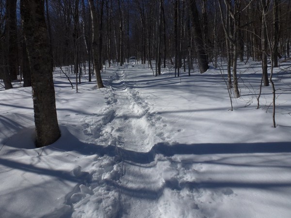
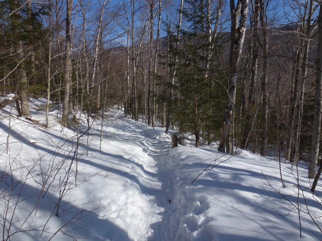
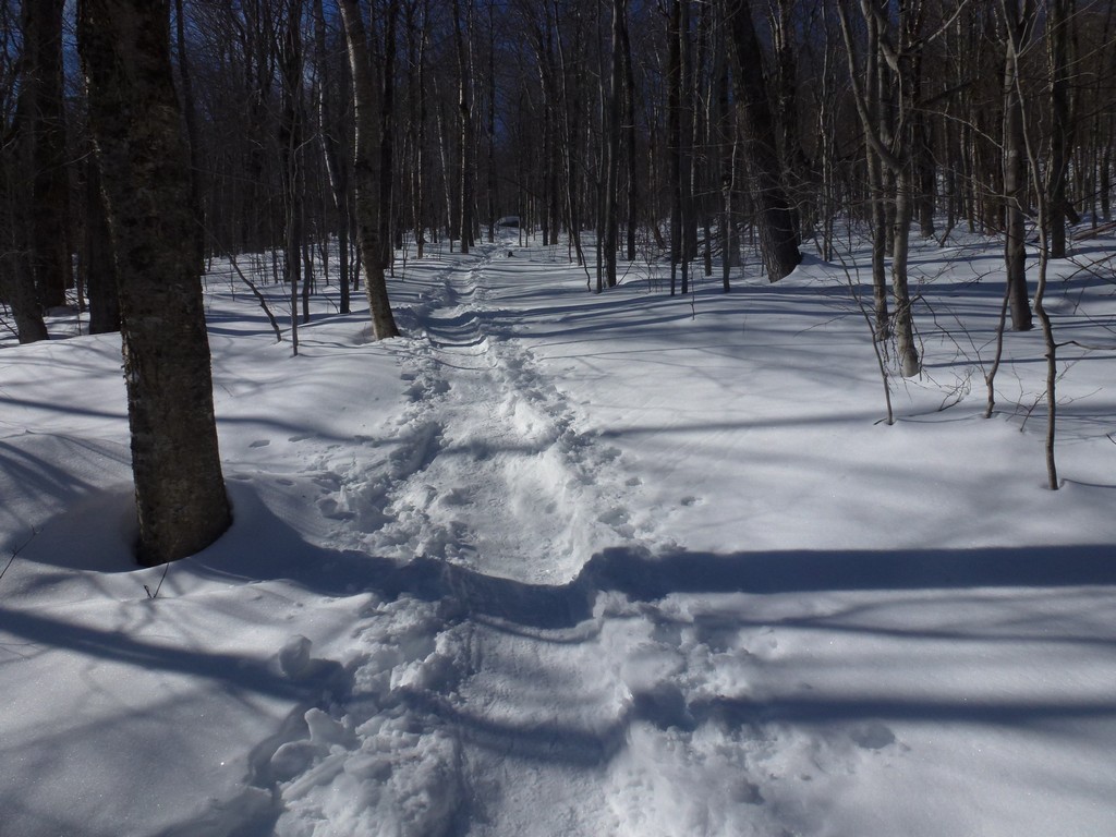
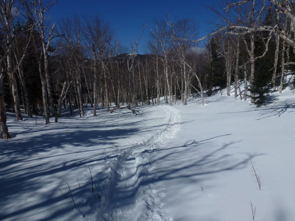
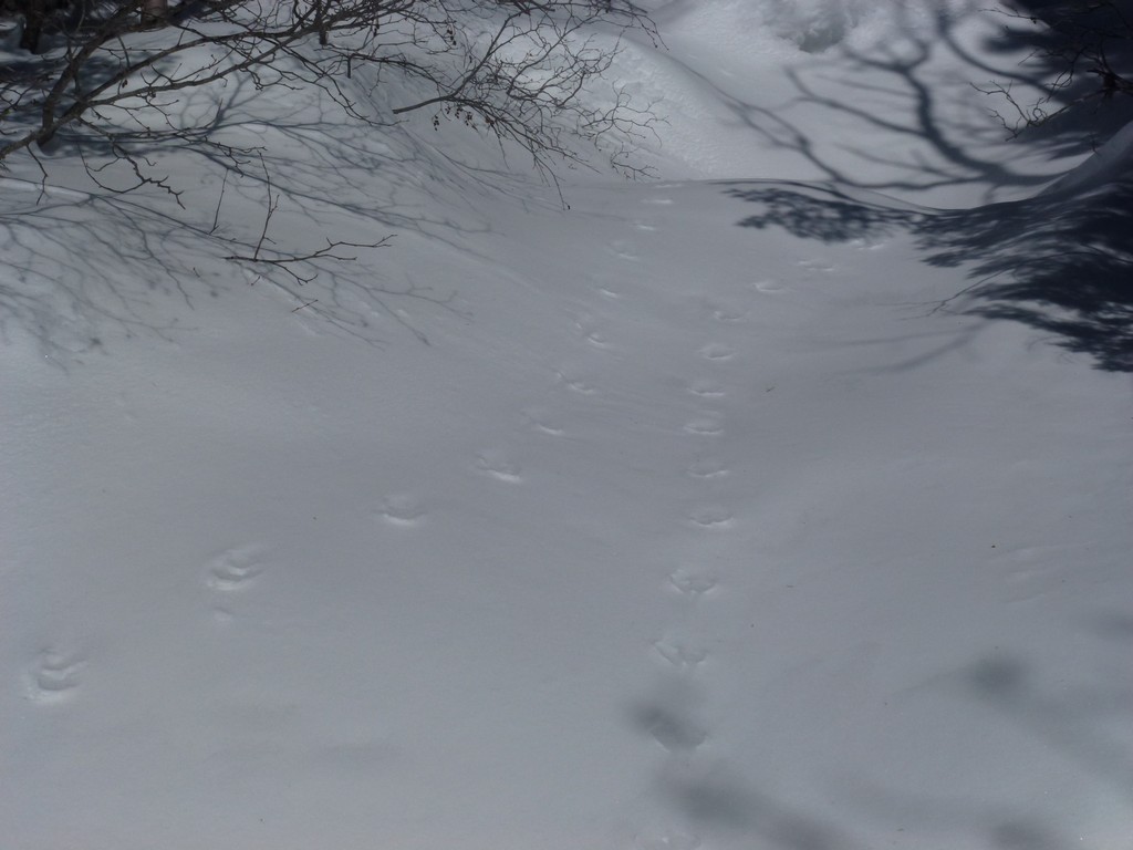
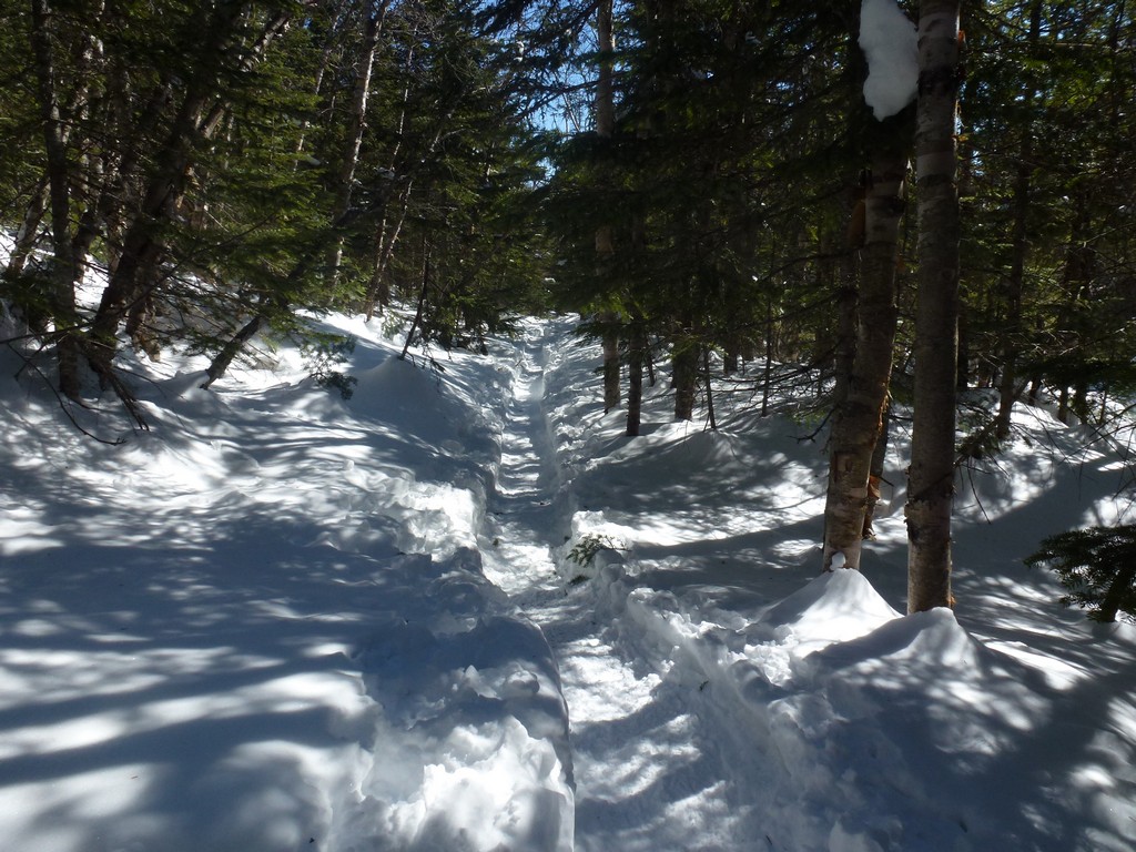
The first leg of the hike a long uphill climb of just over 2.5 miles to the start of the Engine Hill bushwhack. The first 1.5 miles of this was the hardest and then the trail leveled out for a little while to give me a breather before climbing again to the start of the bushwhack. The trail was in good condition. There was plenty of snow around but the trail was well packed and someone had aleady been up it recently. I had read recent trip reports about the condition of the trail and did not bother with snowshoes and just wore my microspikes.
|
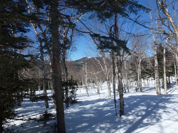
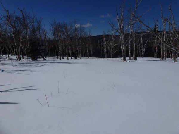
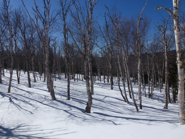
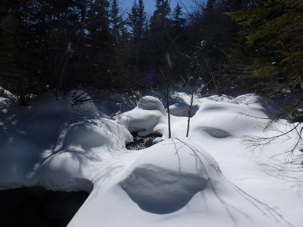
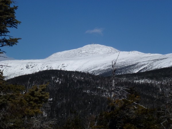
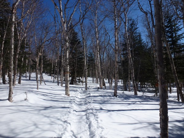
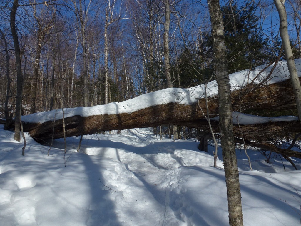
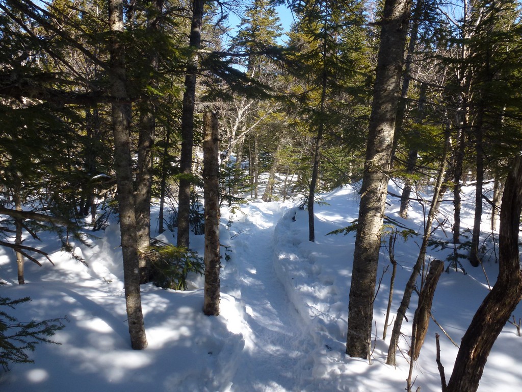
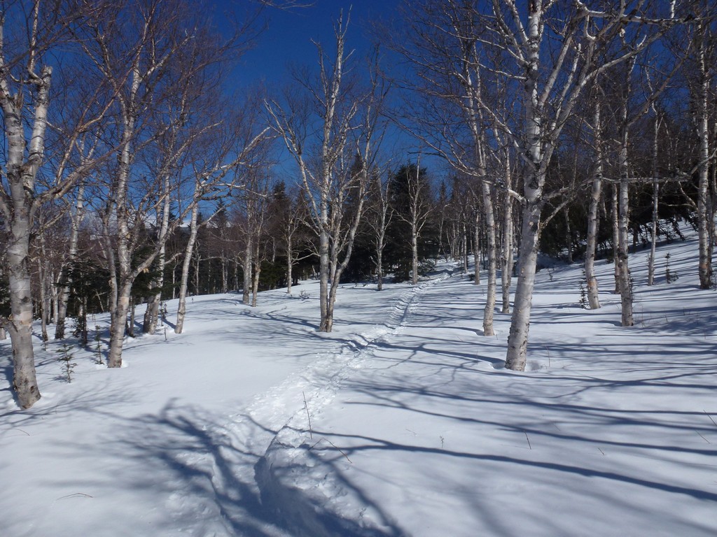
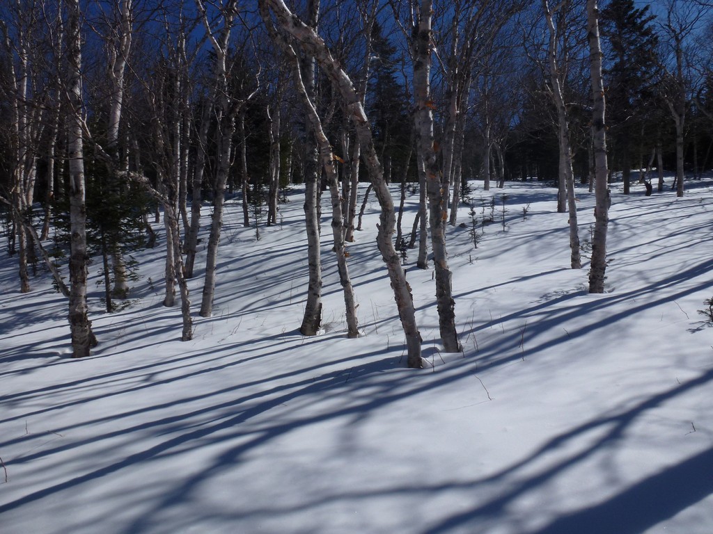
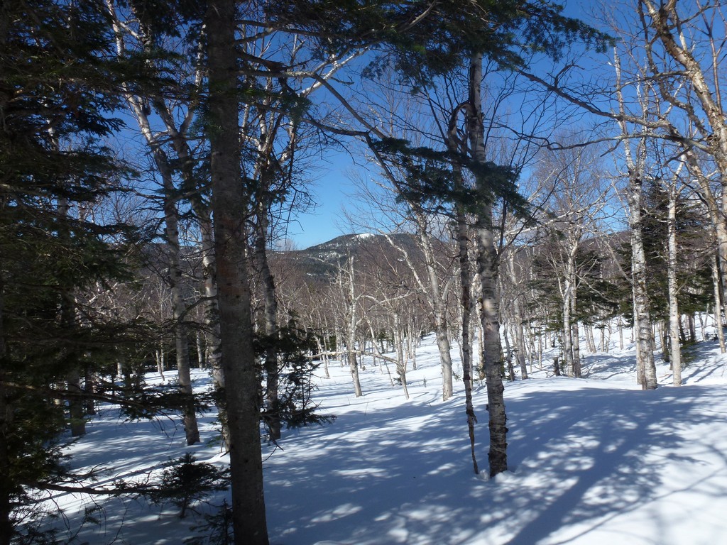
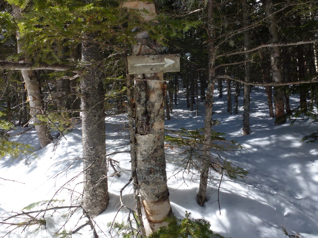
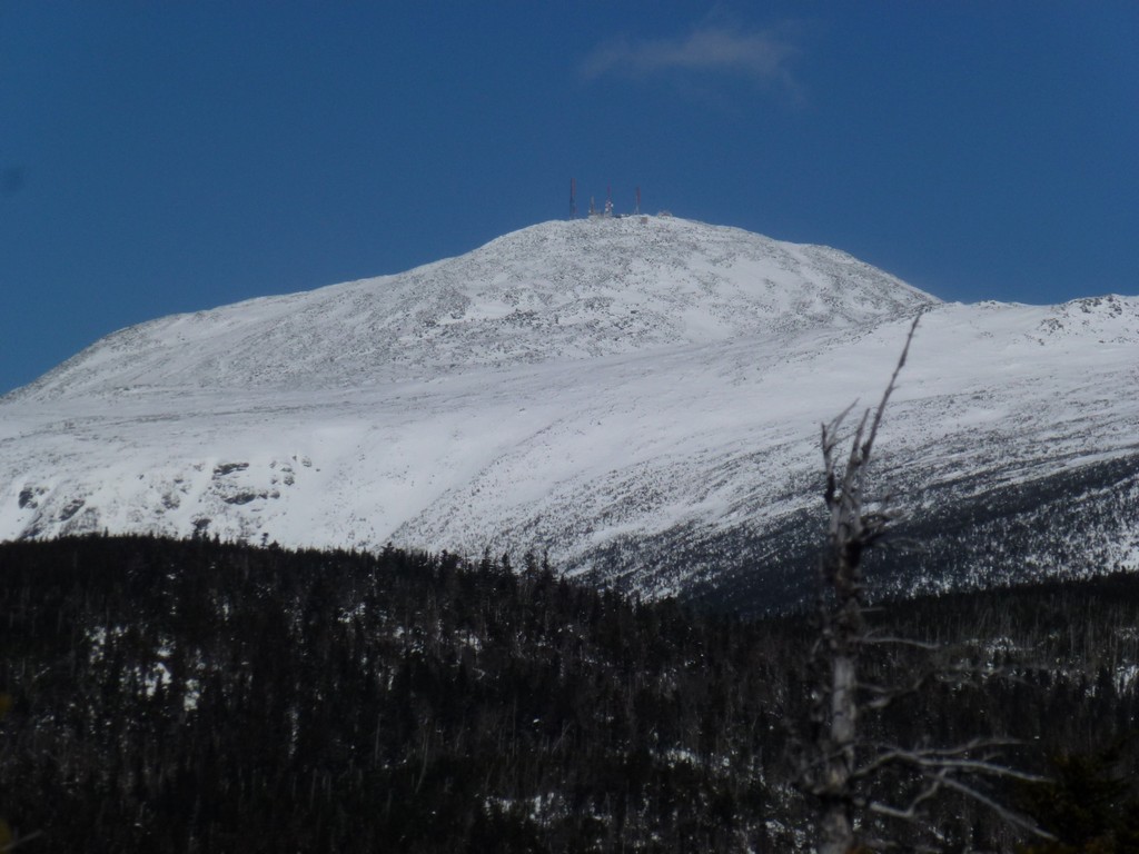
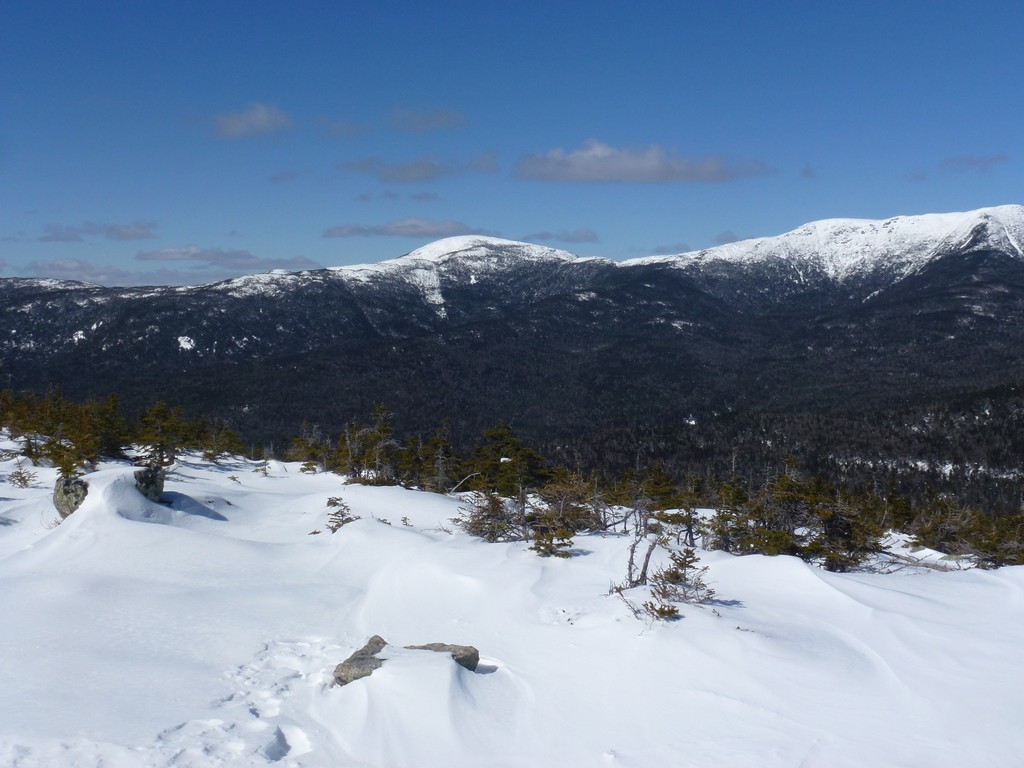
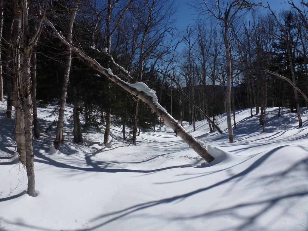
The Engine Hill bushwhack was in very good shape as well and was a lot easier to follow in the winter than it had been in the fall a couple of years before. I actually remembered it starting further on down the trail when we did it back then and this time it was higher up. There was not much in the way of bushwhacking at all and it was pretty much just a trail to be followed. It crossed some lovely birch groves which afforded some fabulous views of Mount Isolation in a few places.
|
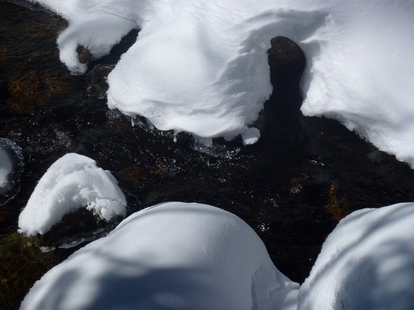
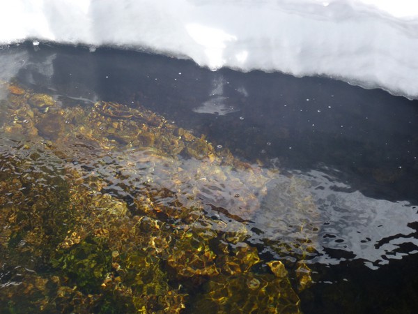
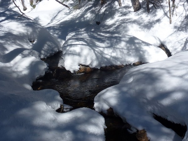
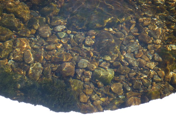
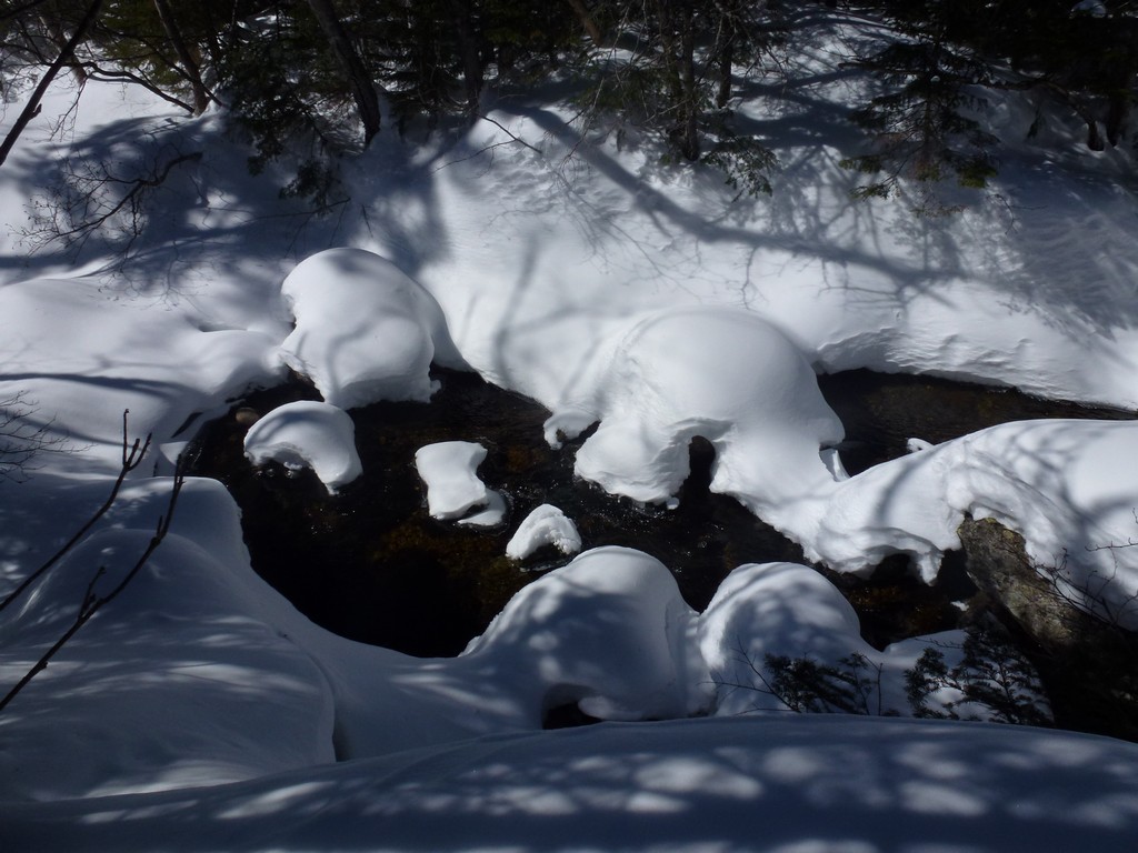
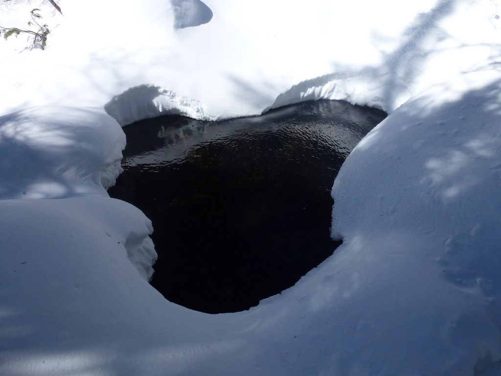
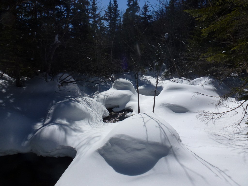
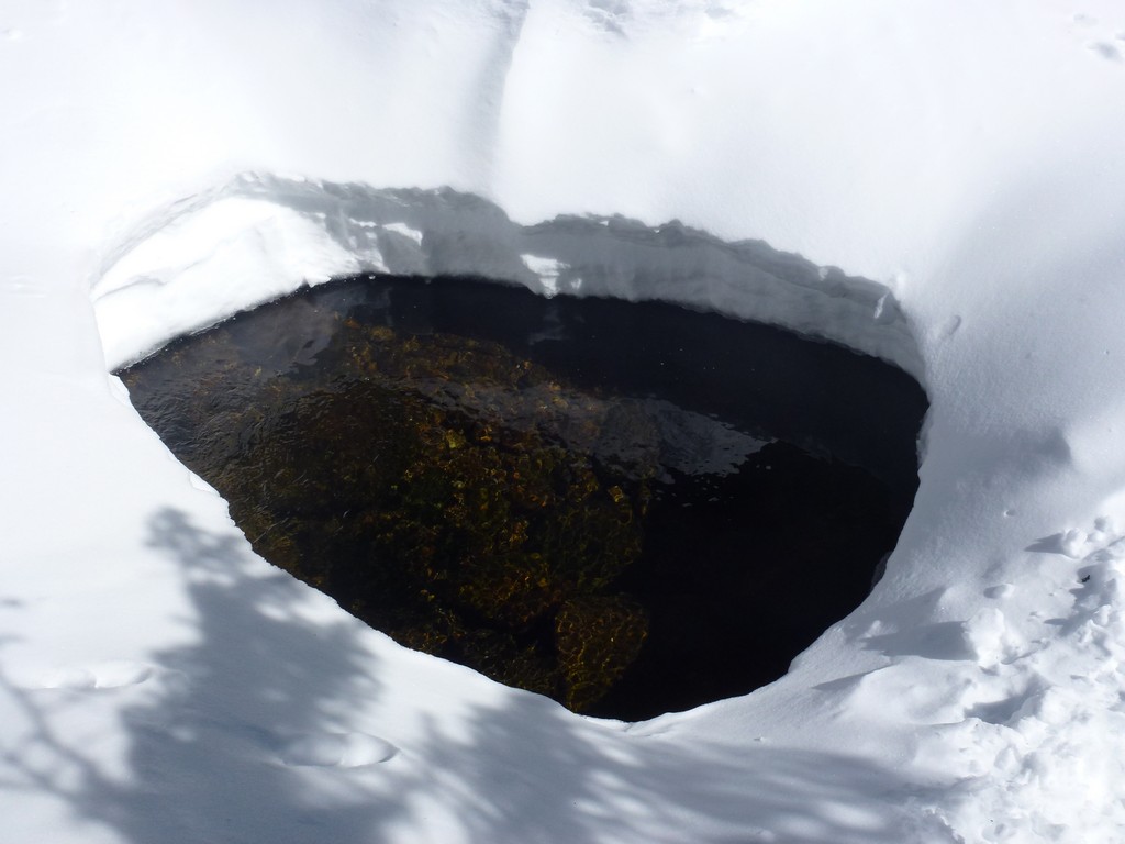
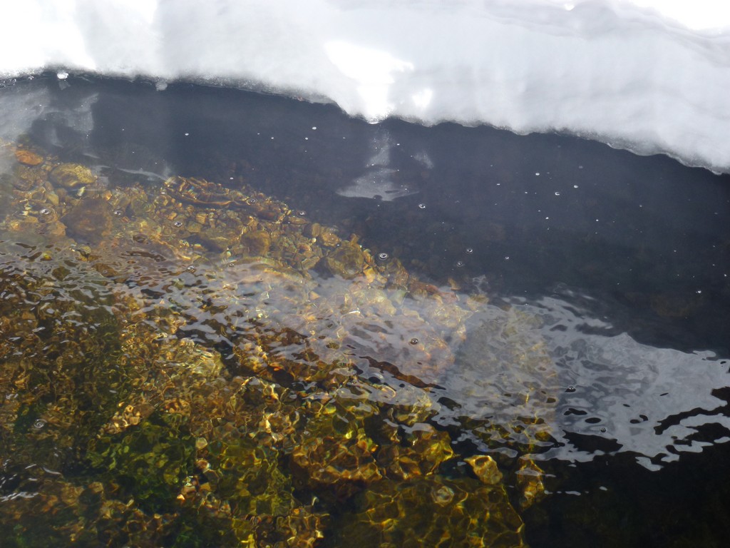
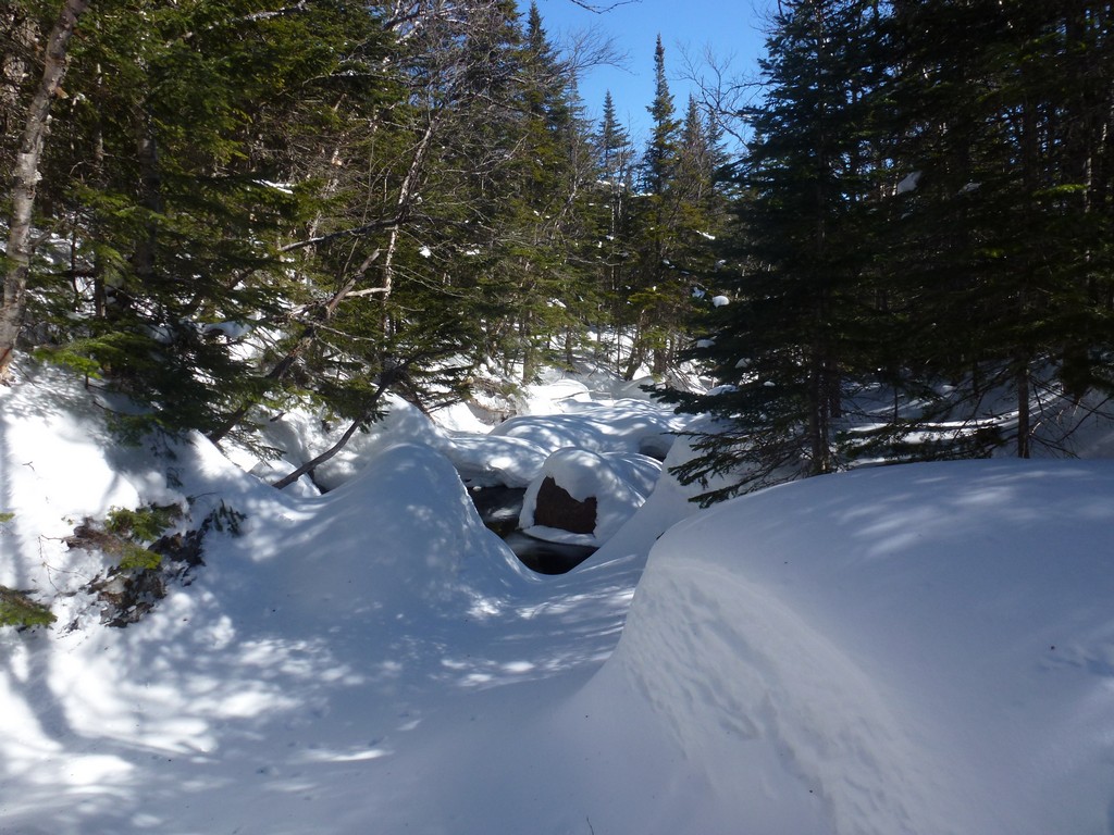
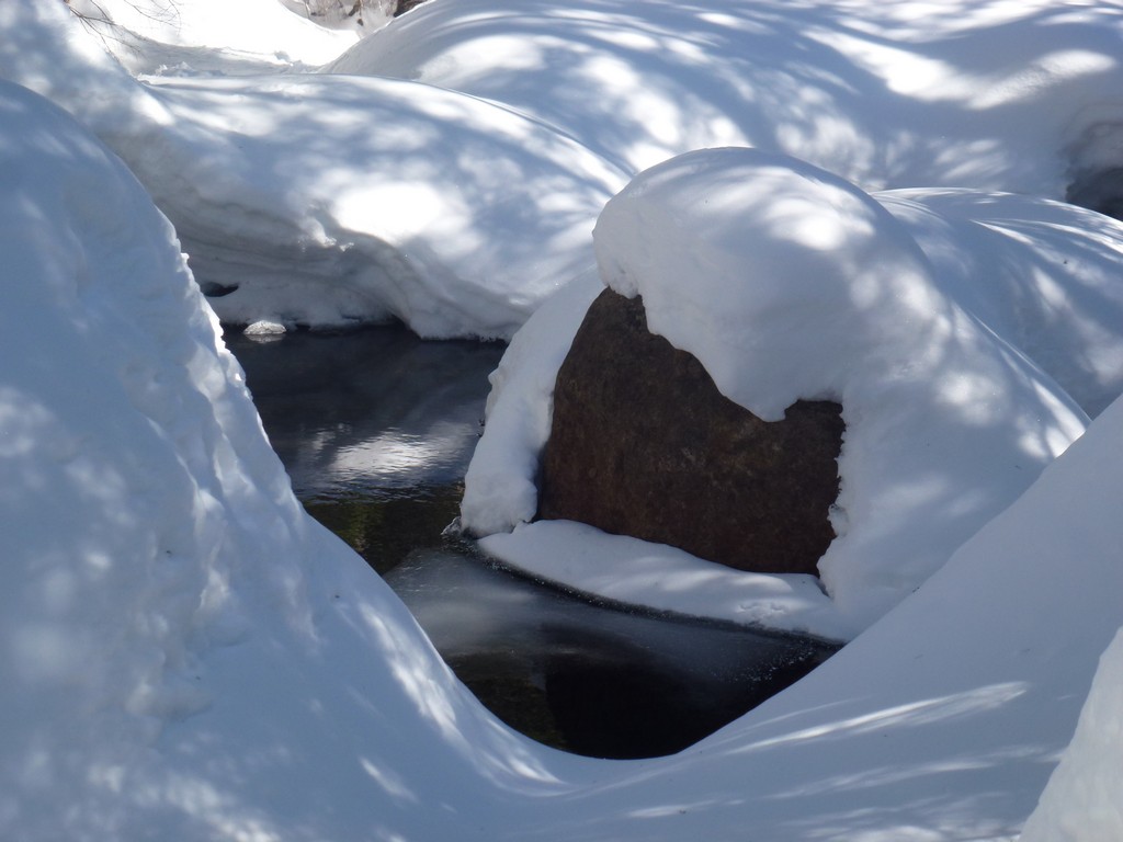
The Isolation Trail along the Rocky Branch was in good shape and the one crossing of Rocky Branch was still bridged.
|
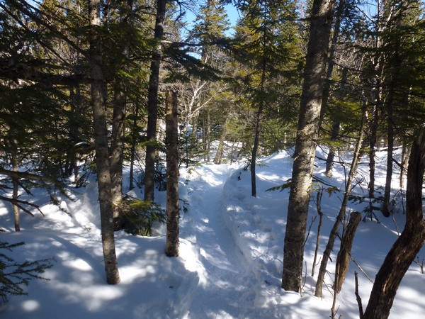
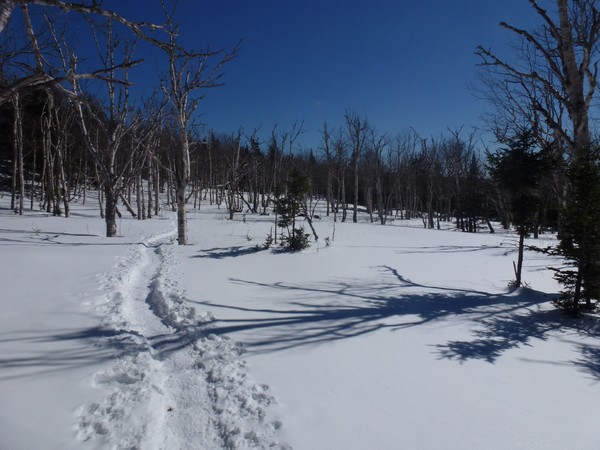
The Isolation Trail and bushwhack to the Davis Path was an easy climb and not as steep as that first part of the Rocky Branch Trail. I ended up on the bushwhack there without even realilzing it as apparently everyone is using this to get to the Davis Path and upper portion of the Isolation Trail itself is buried and not even recognizable as trail.
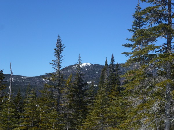
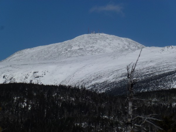
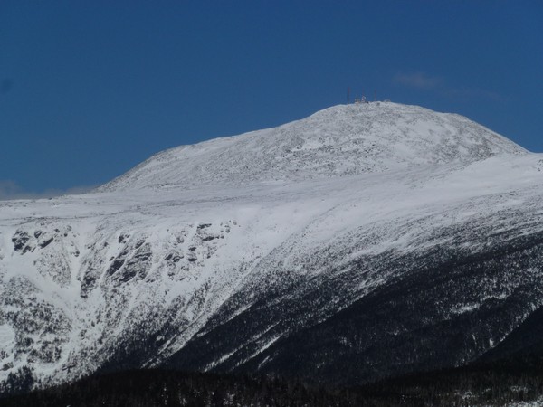
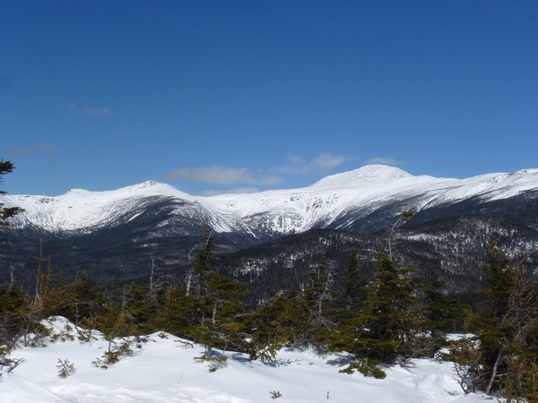
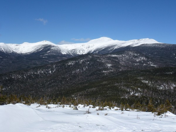
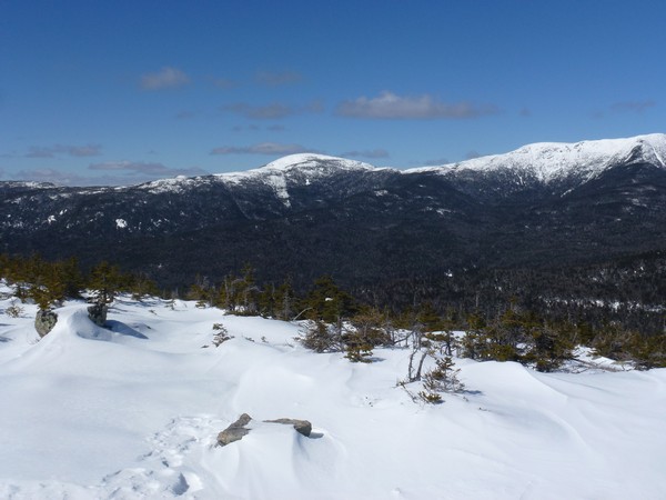
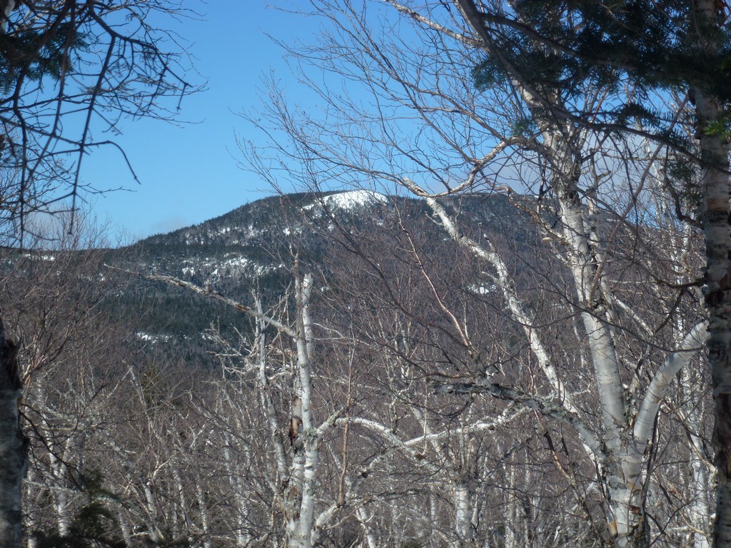
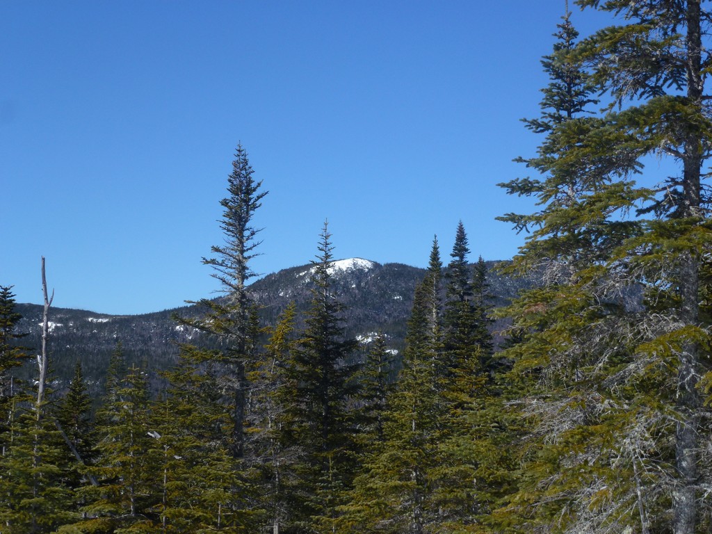
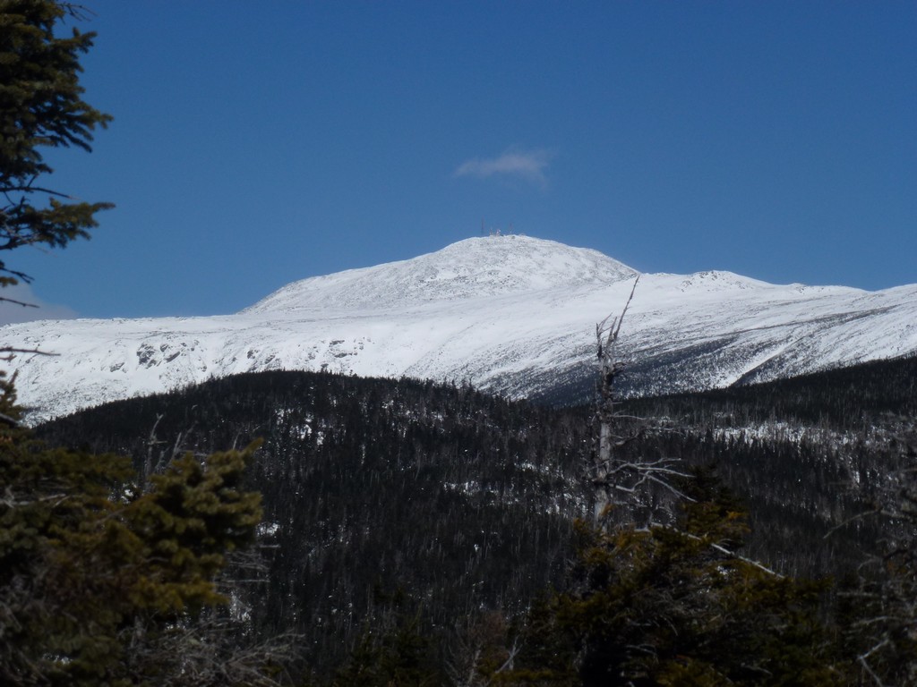
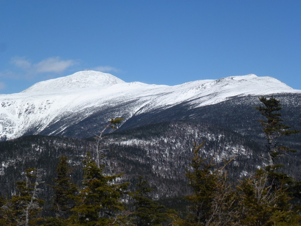
I had some fabulous views of Mount Washington from the Davis Path on the way to the final climb of Mount Isolation. I met a couple with a dog coming back from Mount Isolation shortly before I arrived at the final ascent.
|
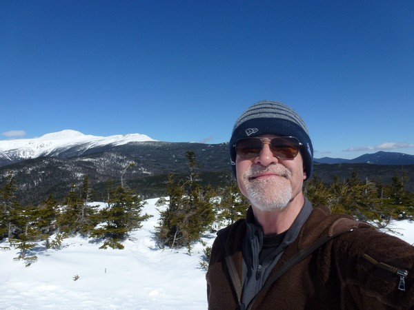
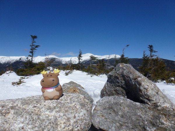
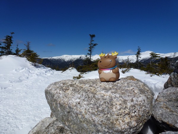
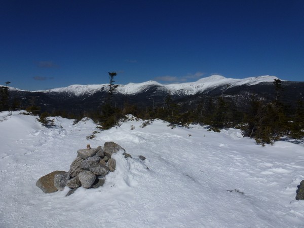
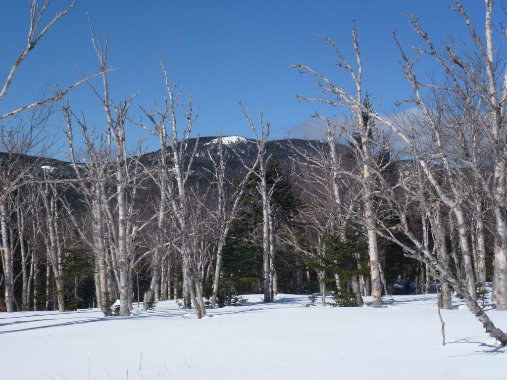
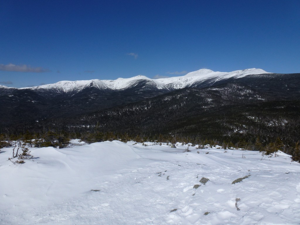
It was an absolutely gorgeous day and the views from the top of Mount Isolation were fantastic. It wasn't very cold up there but it was windy so I decided to not eat my lunch up there. It took about 3.5 hours to do the almost 6.5 miles to the top of the mountain and I was up there for about 10 minutes before starting back down. I had the summit to myself while I was there and that was pretty nice.
|
I stopped back at the snow bridge over Rocky Branch to have my lunch and it was a beautiful spot for it. It was sunny and it warm in the sunshine and there was no wind. I had met two more people heading up to the Mount Isolation summit as I was heading back down the Davis Path but I had my lunch spot to myself.
|
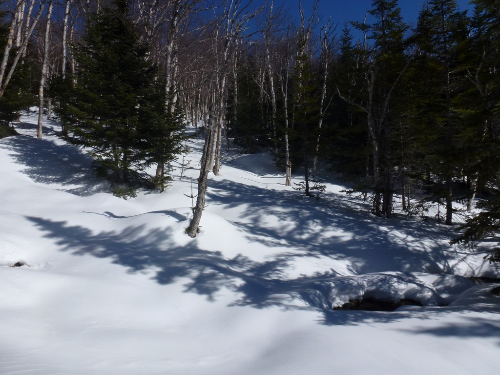
After lunch it was another gorgeous walk through the birch groves along the Engine Hull bushwhack. I really lucked out with the weather for this hike which was quite likely going to be the last one of the winter hiking season for me.
|
I got some awesome sledding in along that last long downhill section back to the parking area and my top speed was just shy of 10 mph. It was not quite as good as the sledding that Alysia and I had on the Mount Moosilauke hike back at the beginning of February but it was still pretty nice. The few nice runs we had on Moosilauke were long runs and the ones I had on this day were shorter but there were more of them. There were more twists in this trail and the snow conditions were just not as perfact as Moosilauke had been. I still probably sledded for close to a mile of that downhill anyway.
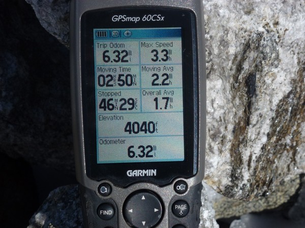
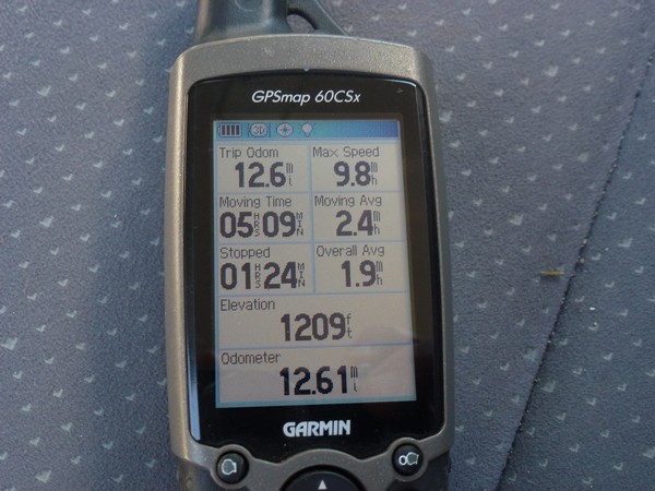
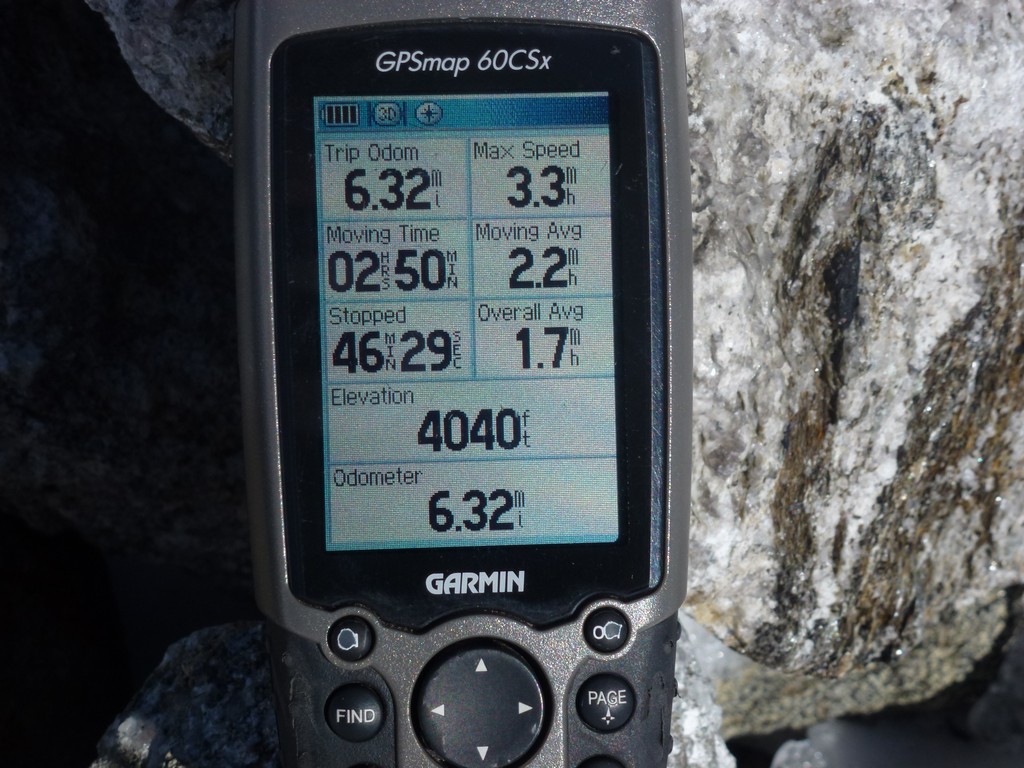
The time for the entire hike ended up being pretty good because of this and I completed the slightly more than 12.5 miles in about 6.5 hours. And probably less than 6 hours of that was actually hiking time. The GPS said my moving average was 2.4 mph and the overall average was 1.9 mpg which is pretty damn good.
|
The one bad thing about solo hiking is no post hike meal. I just can't get into it when I am by mself and just want to get home.
|
|
|---|
|
|---|


