|
Mount Moosilauke day hike |
|---|
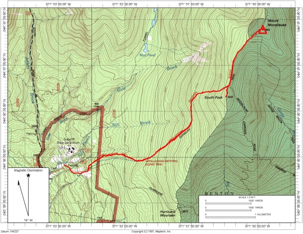
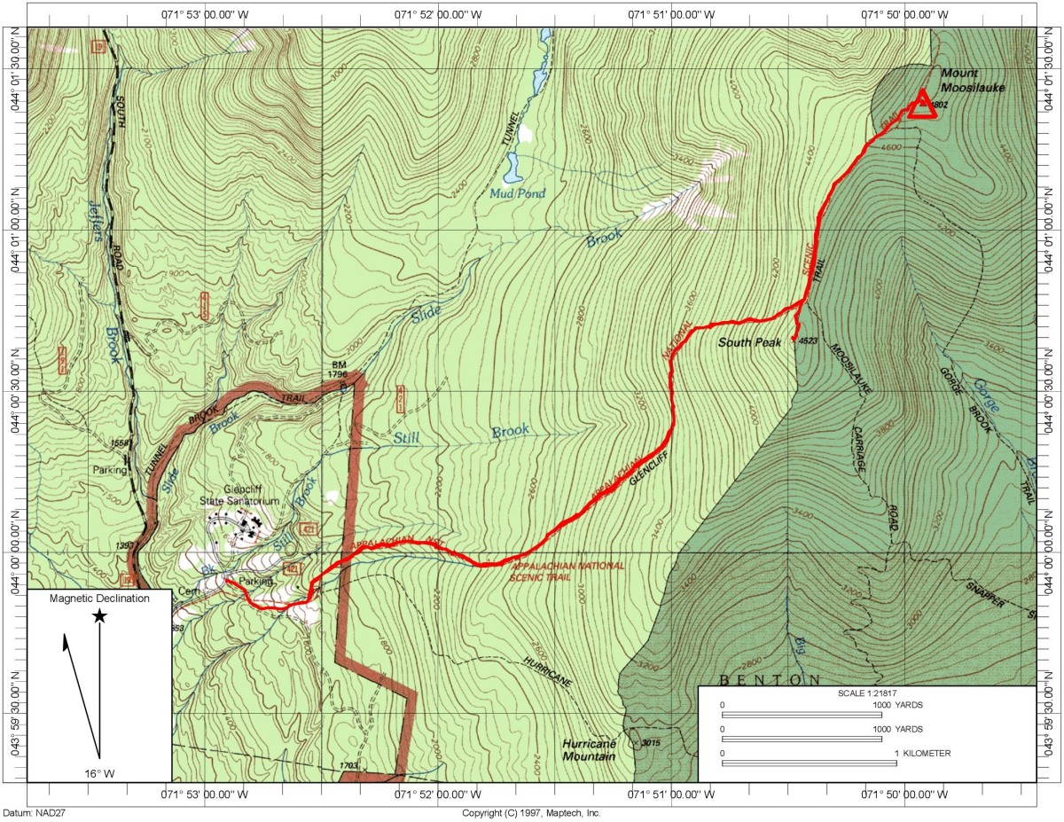
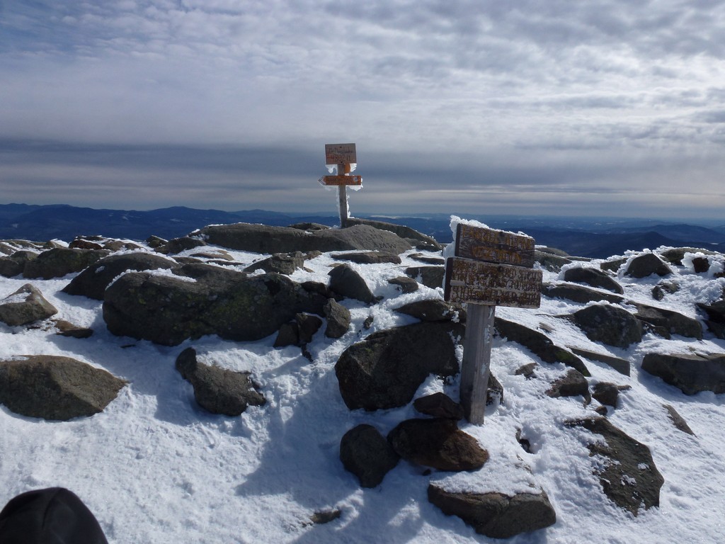
This day hike started at the parking lot for the Glencliff Trail off of High Street in Warren, New Hampshire. High Street is located off of New Hampshire state route 25---the Mount Moosilauke Highway---in the village of Glencliff. From the parking lot I followed a road which is actually part of theAppalachian Trakl to the beginning of the Glencliff Trail. I took that to the ridge where it joins with the Mount Moosilauke Carriage Road and the continued to the summit of Mount Moosilauke. I came back down the same way.
|
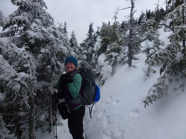
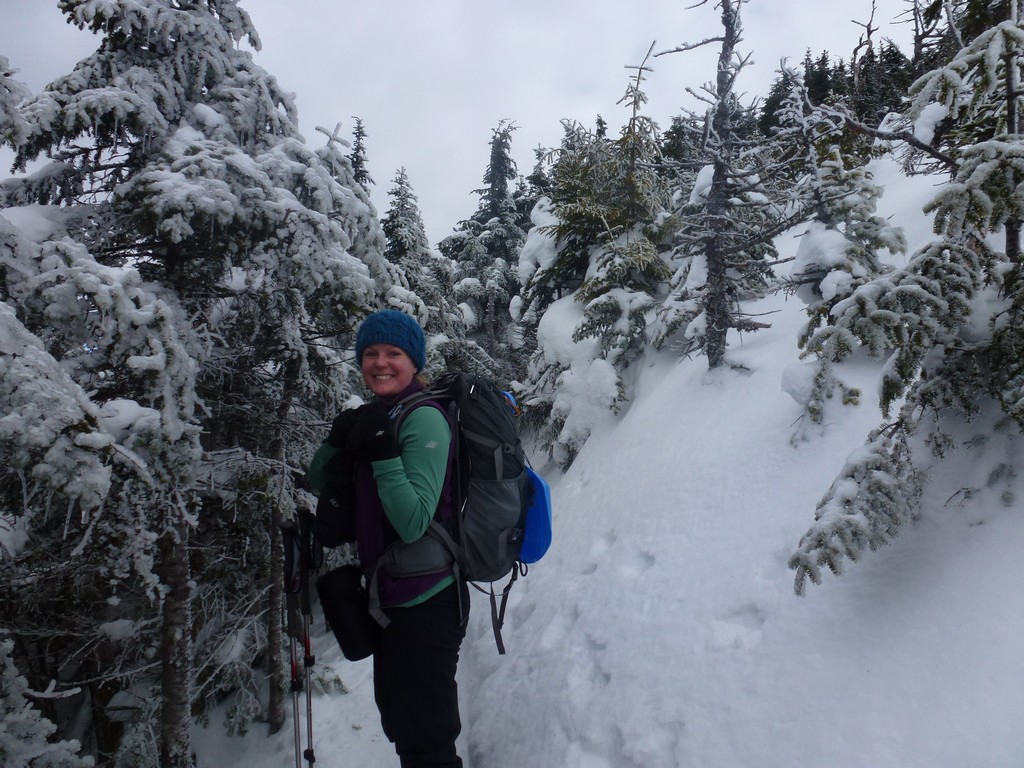
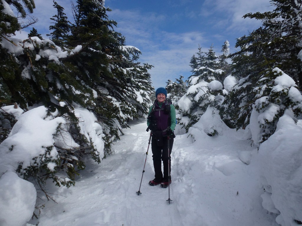
This day hike started at the parking lot for the Glencliff Trail off of High Street in Warren, New Hampshire. This was a rare hike that wasn't part of peak bagging since I had already bagged Moosilauke for myself as a winter peak during the previous winter. My hiking buddy, Alysia, needed it for her winter list though and it's a nice hike so I had no problem doing it agan. This would be #27 for her.
We started this hike a little late but we knew it was not a long hike so that was intentional. I arrived at the trailhead just a little before 8:30 and Alysia was there just a little after. The parking lot was already very full and there were others there getting ready to start hiking.
|
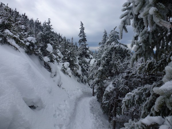
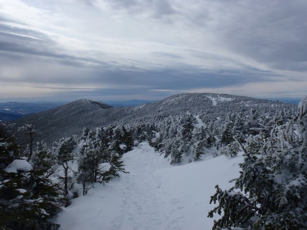
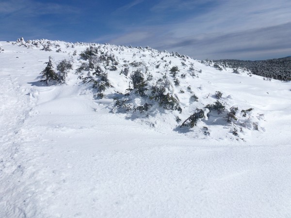
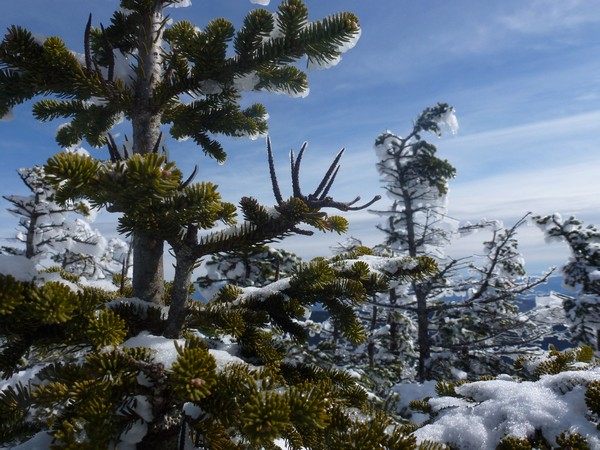
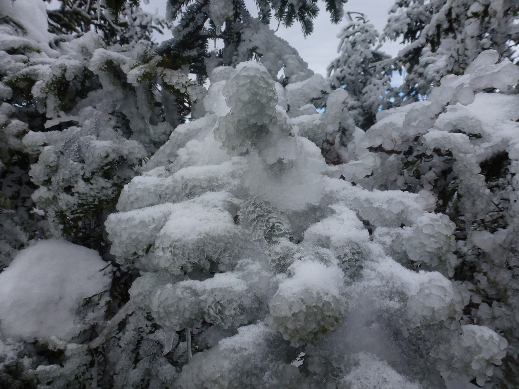
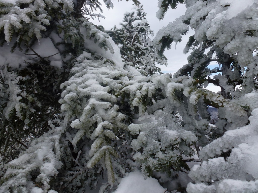
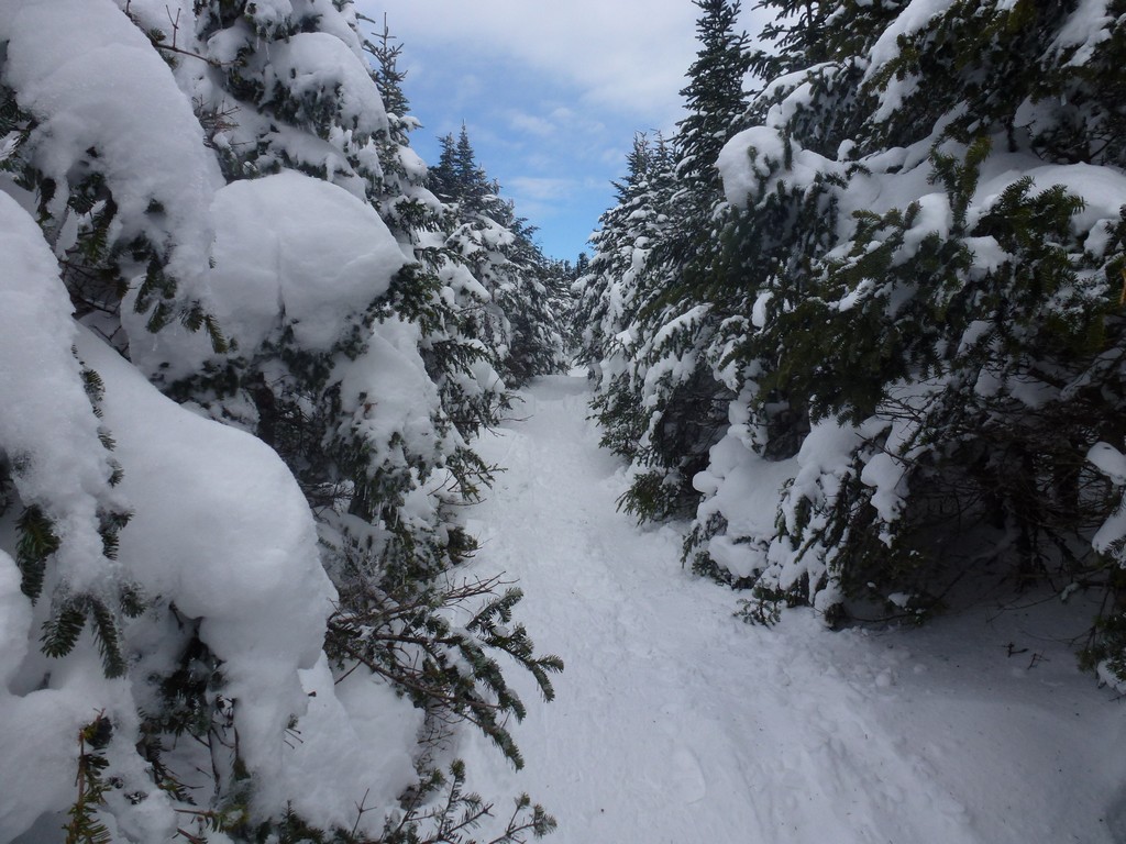
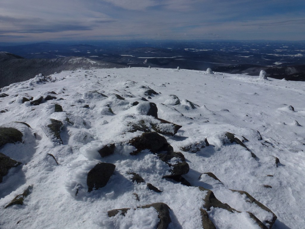
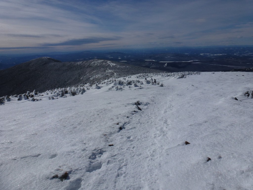
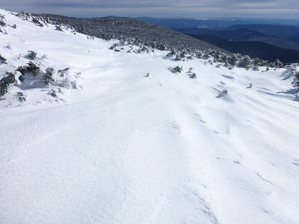
There was a lot more snow on the trail this year than in the previous year which actually made the going somewhat easier. On my last hike the lower portion of the trail was mostly bare and snow free but there were several places along it where there long ice flows that blocked the entire trail. The trail this time was all snow and well packed. We wore microspikes for traction and did not even bother bringing snowshoes.
|
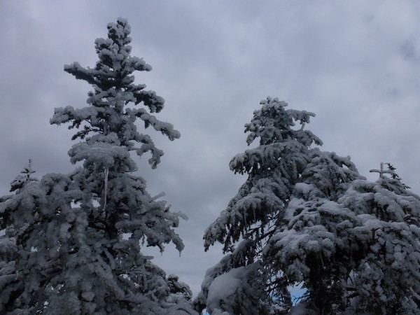
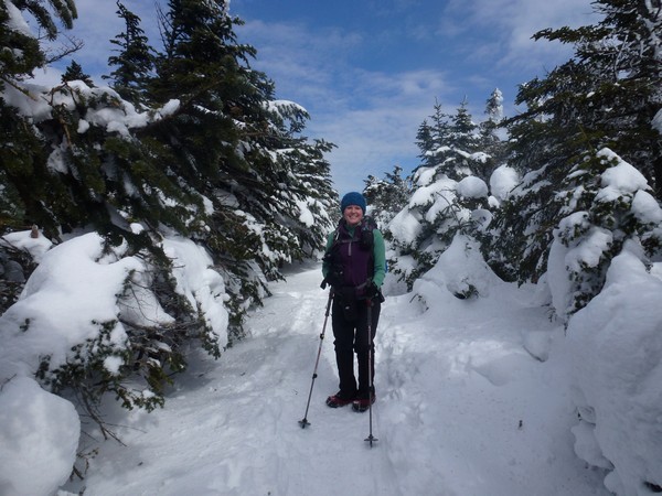
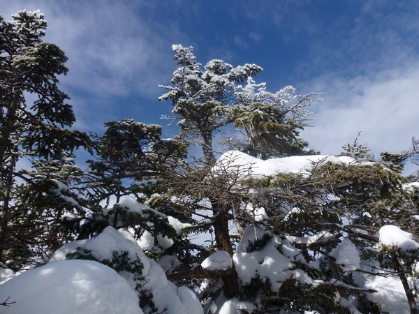
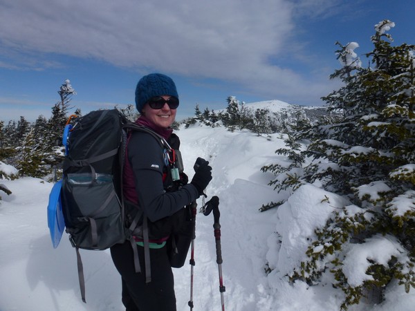
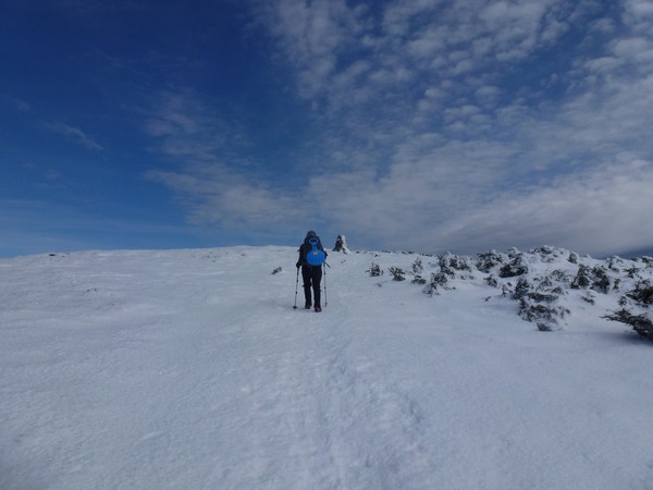
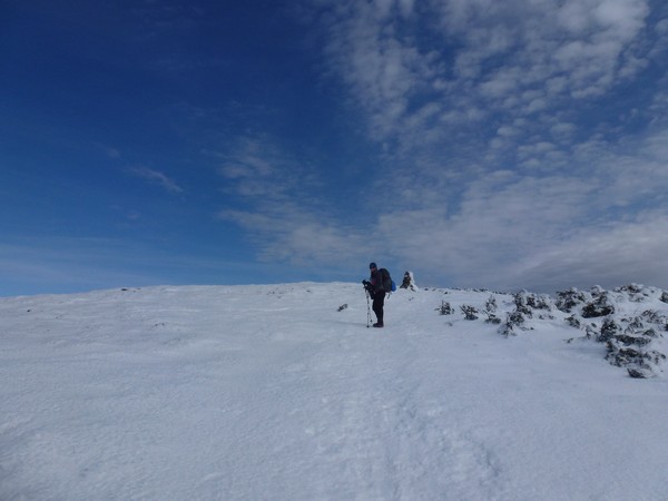
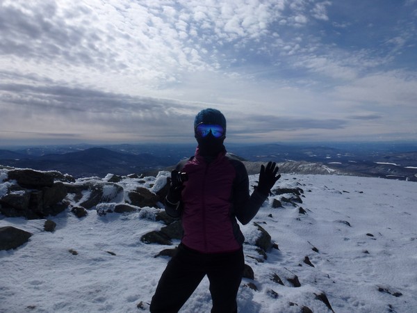
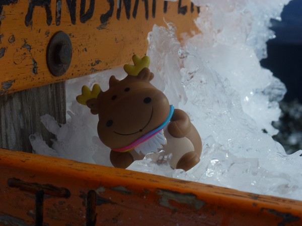
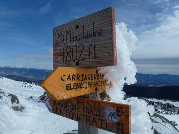
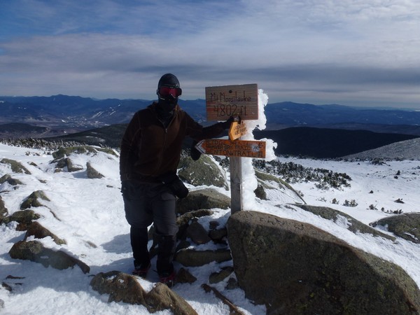
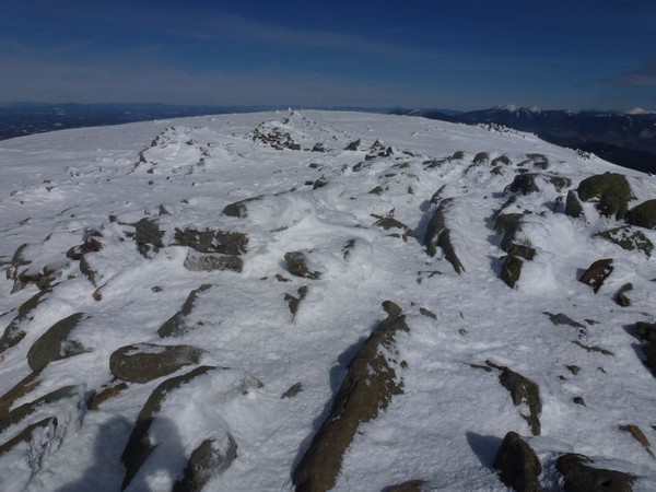
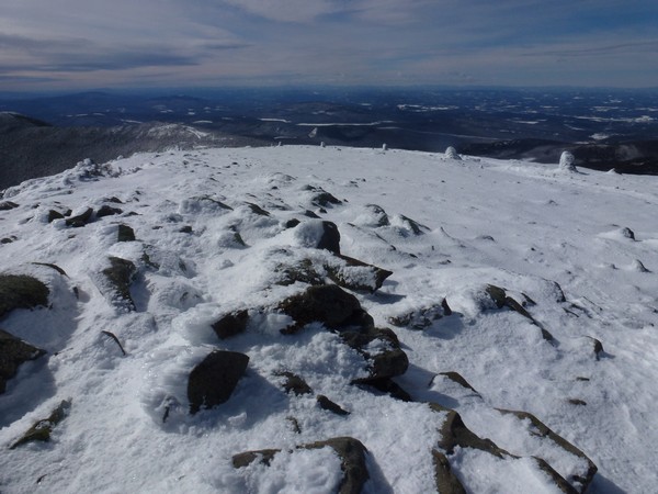
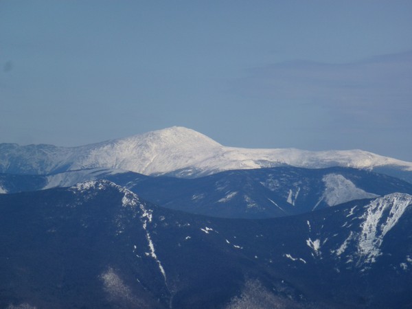
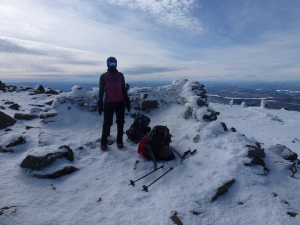
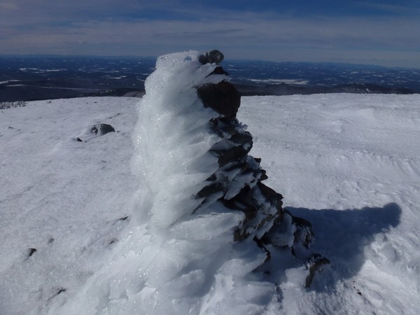
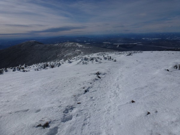
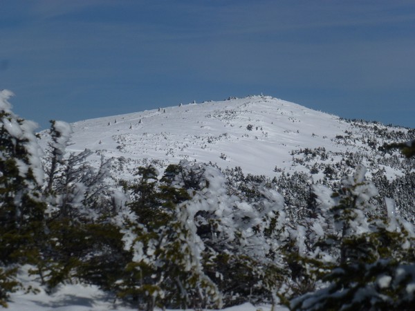
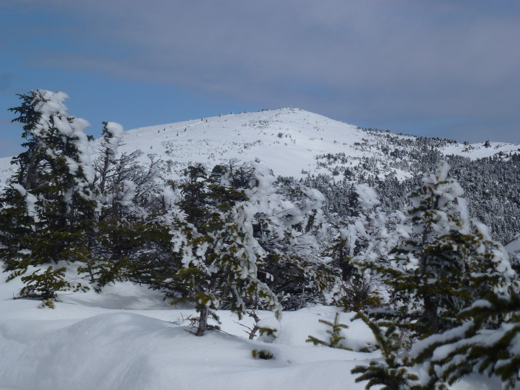
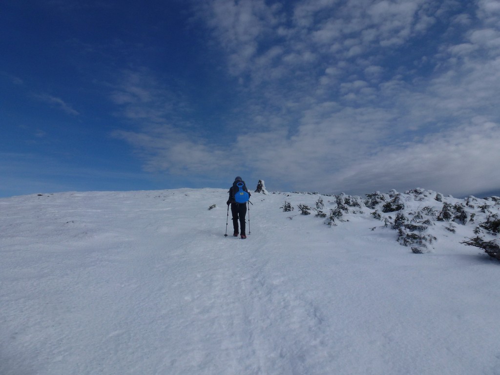
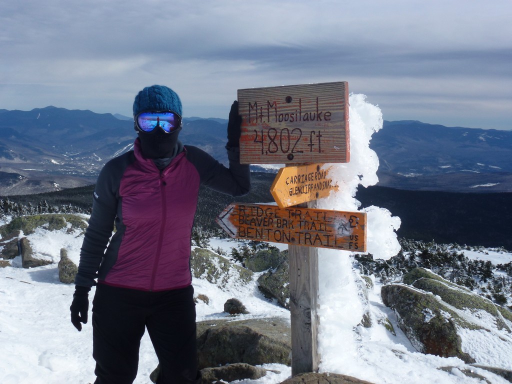
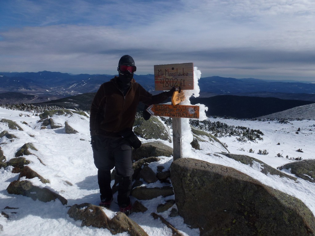
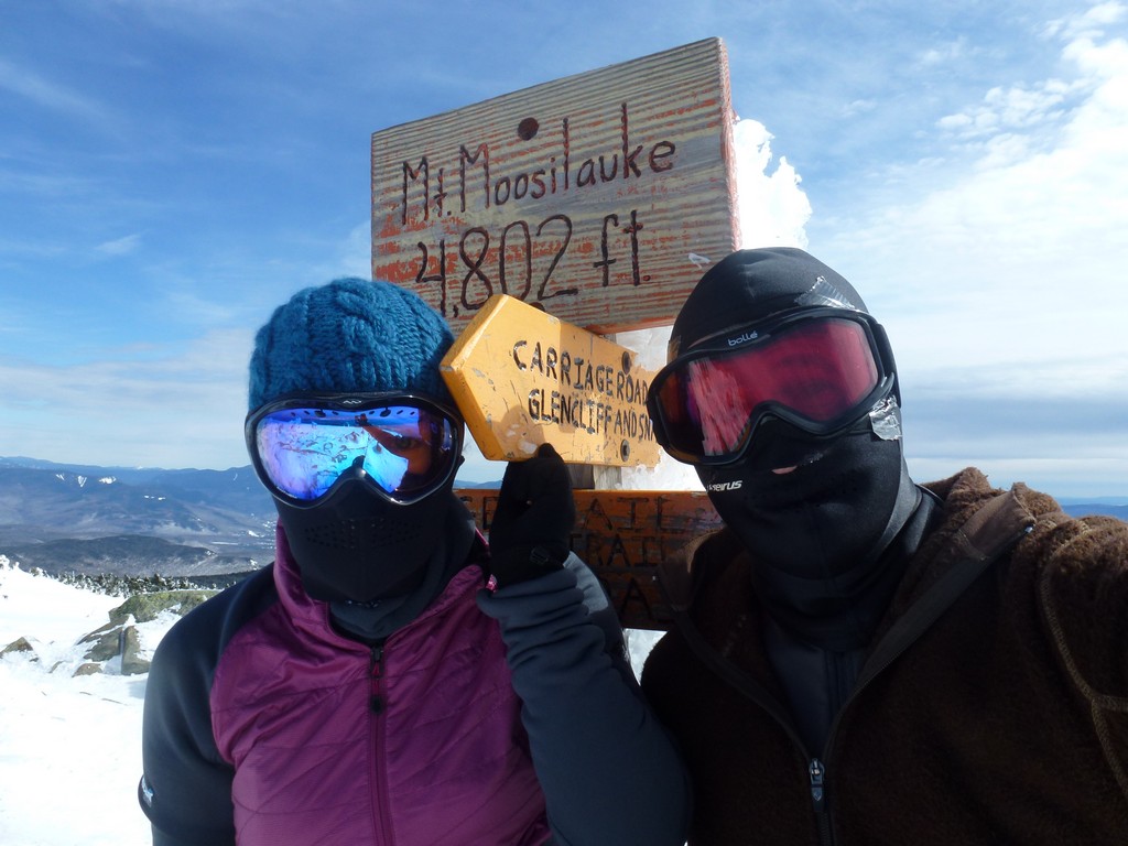
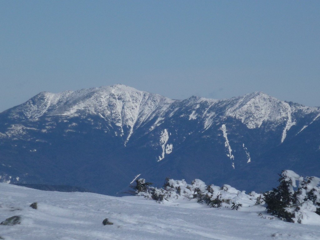
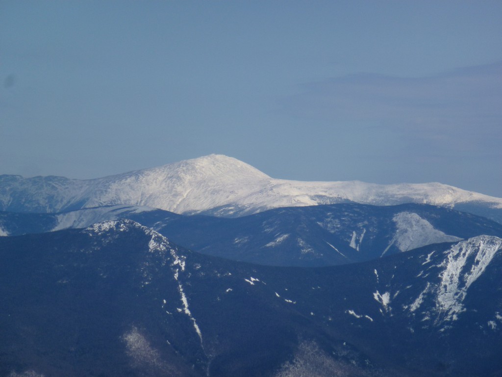
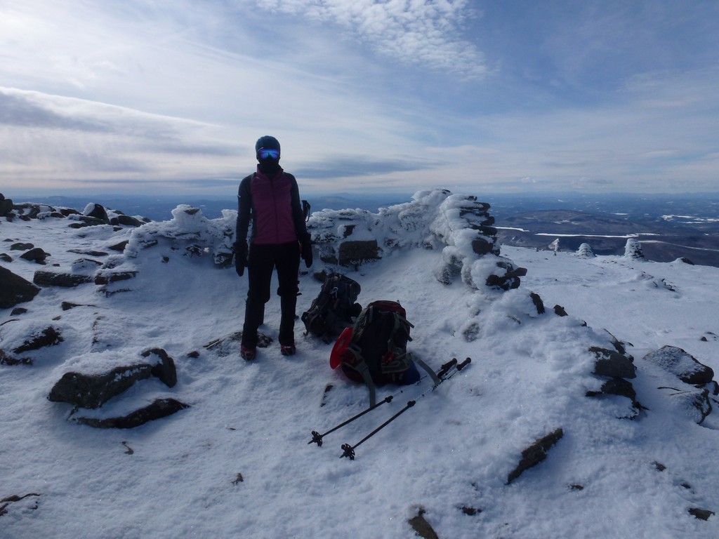
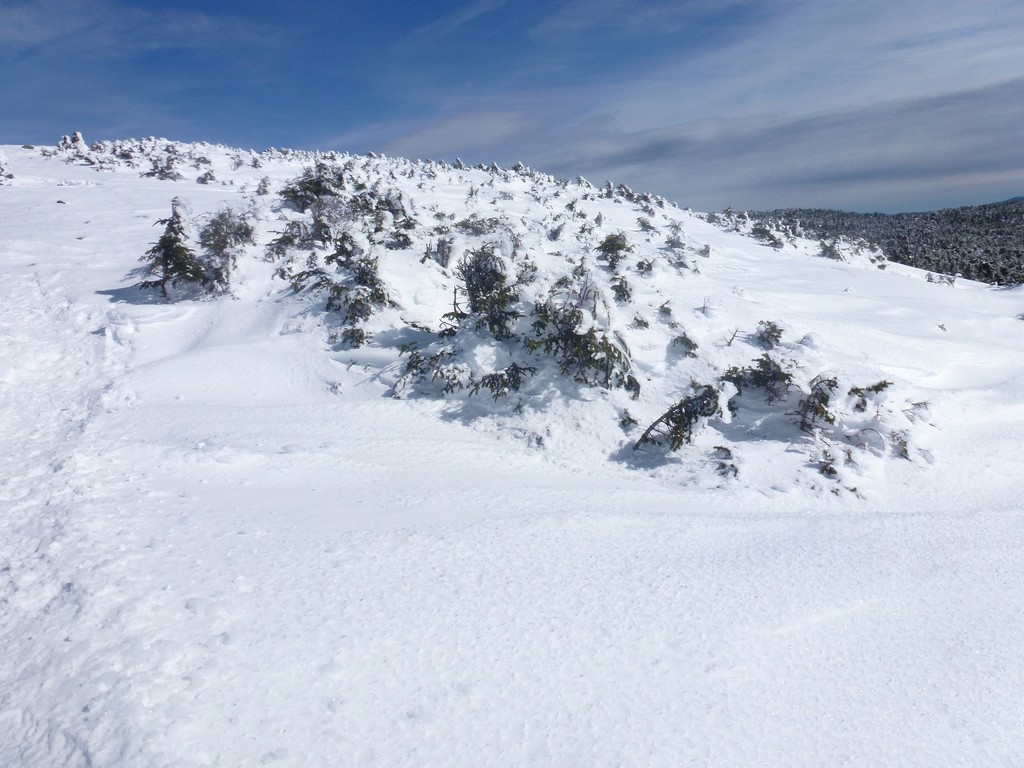
The day started off cloudy but the clouds broke up considerably during the hike up and it ended up being an absolutely beautiful day for a hike. We made it up to the ridge next to the south peak by just a little before 11:30 and were on top of Moosilauke just a little before noon. It was very windy at the very top so we took our photos and did not linger. The wind died off as soon as we were a little below the summit.
We
|
After leaving the summit we started looking for a nice spot where we could sit down in some sunshine to have our lunch. We really didn't find that until we got back to the trail junction near the south peak and there was already a rather large group of other hikers hanging out there. We ate our lunch pretty fast as we knew some of this group would be heading back down and we wanted to get a head start on them.
|
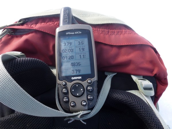
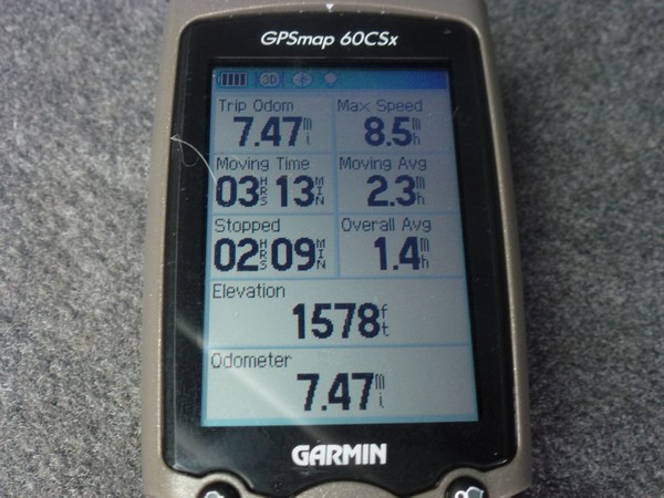
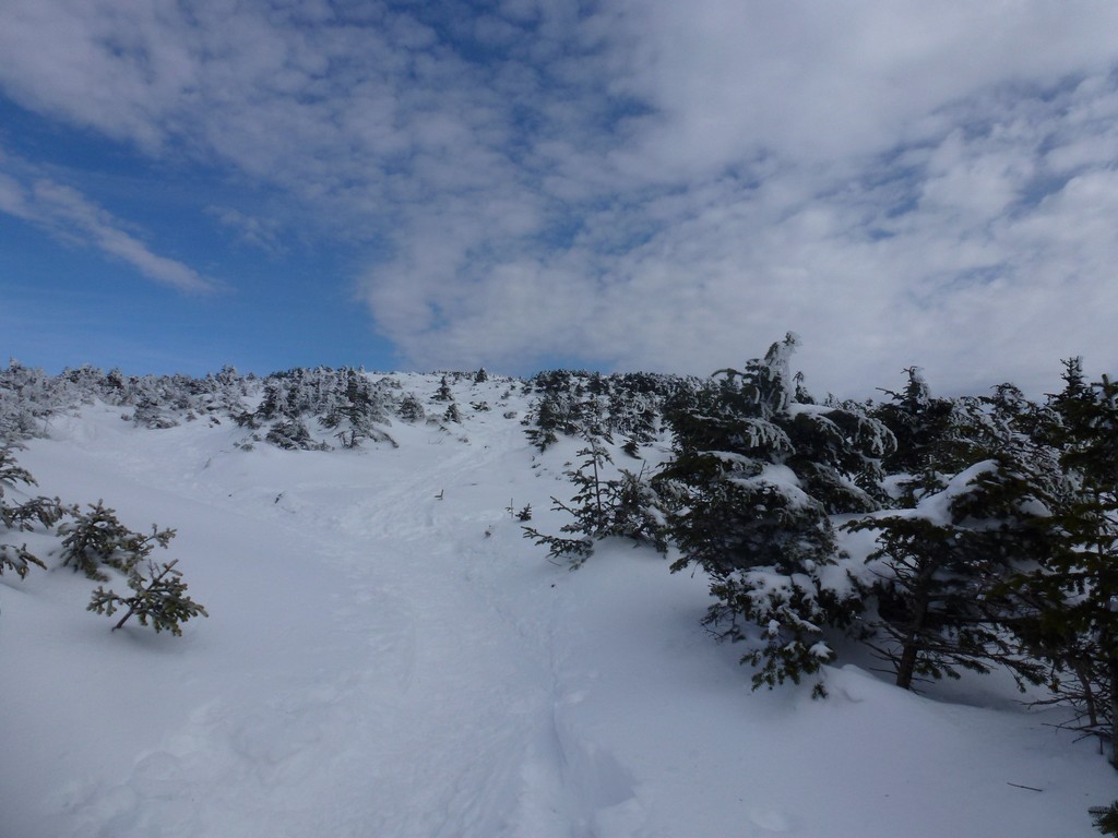
We had the most incredible time sledding on the way down and Alysia said it was the best sledding experience she had ever had on any mountain. We had a couple of runs that were probably a quarter mile or more and one really long run that may have been close to a half of a mile. It just went on and on. The trail conditions were perfect for sledding with a hard pack trail that was just slightly melted on the surface. It was also a deep track but just deep enough. We were able to get going very fast at times without having to worry about leaving the trail. I did leave it once or twice on a couple of the sharper turns. So we probably sledded about a quarter of the way down. It took us just under 3.5 hours to go up but probably only 1.5 hours to come back down and my GPS recorded a top speed of 8.5 miles per hour during one of the sledding runs.
|
After the hike we headed to The Common Man Restaurant in Ashland for another fabulous post hike meal and a couple of beers. Alysia also sampled their drink special, a chocolate-coconut martini, which we have both since become addicted to.
|
|
|---|
|
|---|


