|
South and Middle Carter day hike |
|---|
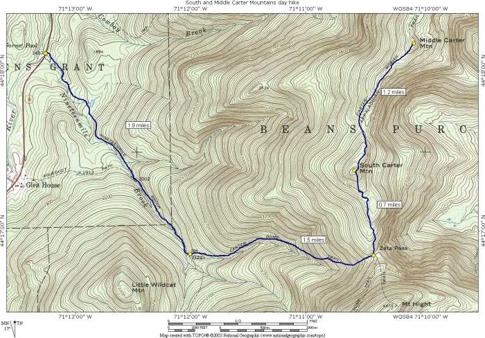
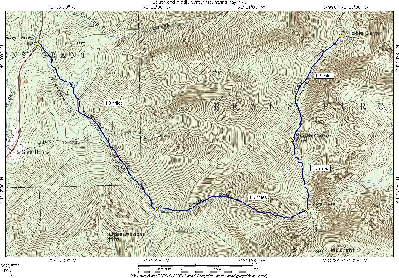
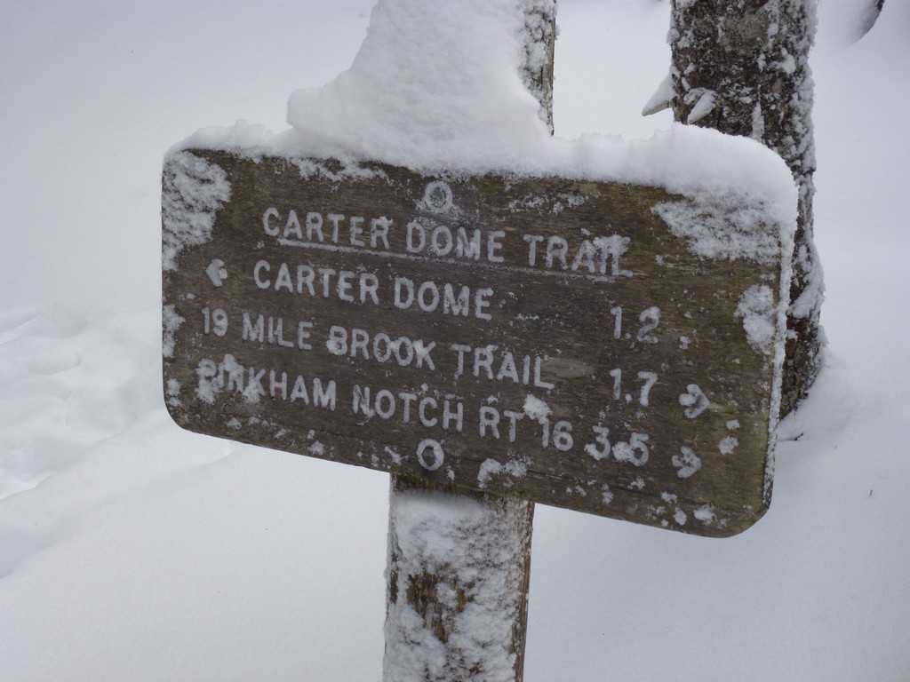
This day hike started at the parking lot for the Nineteenmile Brook Trail off of New Hampshire Route 16 in Greens Grant, New Hampshire. From the parking lot we took the Nineteenmile Brook Trail to the Carter Dome Trail to the Carter-Moriah Trail to the summit of South Carter Mountain and finally to Middle Carter Mountain. We returned by retracing our steps back to the parking area.
|
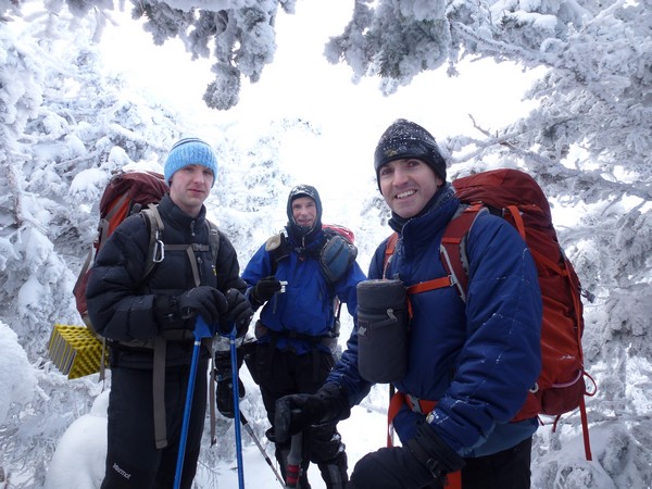
I signed up for this AMC (Appalachian Mountain Club) led hike via the Random Group of Hikers Meetup group. Today's hike was originally supposed to be for Mount Washington via the Ammonousuc Ravine and Jewell Trails but was changed to this hike, the Plan B Hike, because of high winds (gusting over 90 mph) and dangerous windchill factors (-40°F) on the summit of Mount Washington.
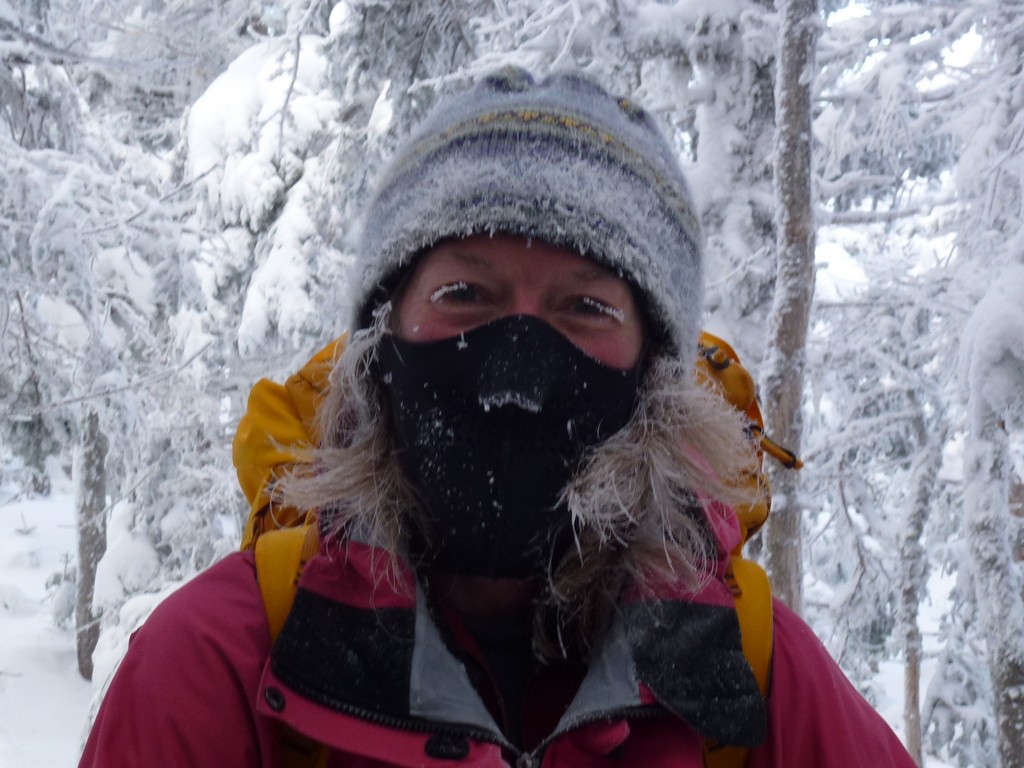
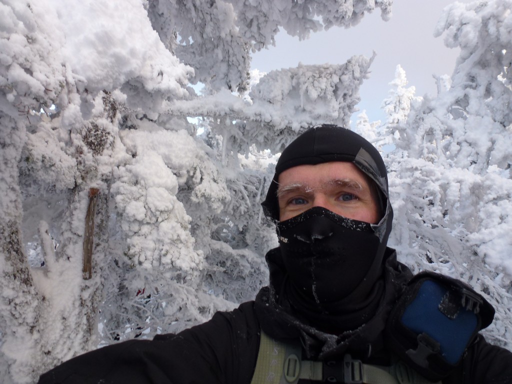
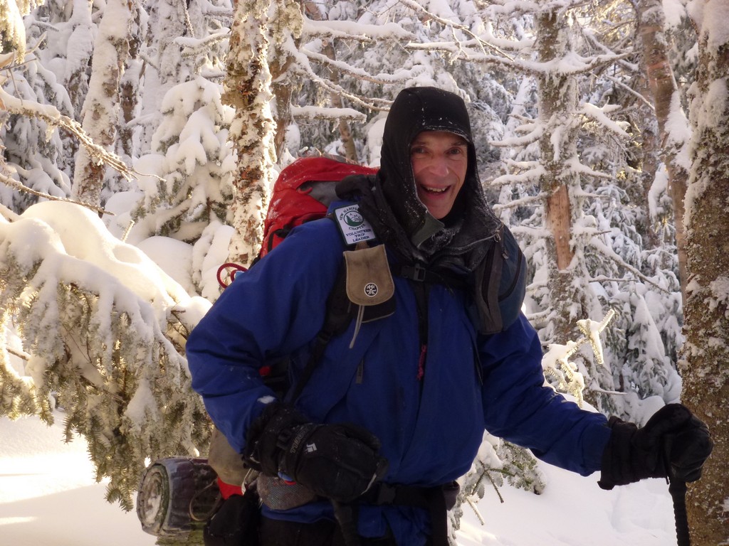
This day hike started at the parking lot for the Nineteenmile Brook trail off of NH Route 16 in Crawford Notch just a mile north of Mount Washington Auto Road. South and Middle Carter would be numbers 25 and 26 on my winter New Hampshire 4000-footer list. I arrived at the parking right at 8:30 and we started hiking around 9:00. I was very nervous at the trailhead because I hit some very high winds and blowing snow coming up through Pinkham Notch and it was still quite cold at the trailhead. I could hardly feel my hands when I started to get ready but after a while I did finally warm up.
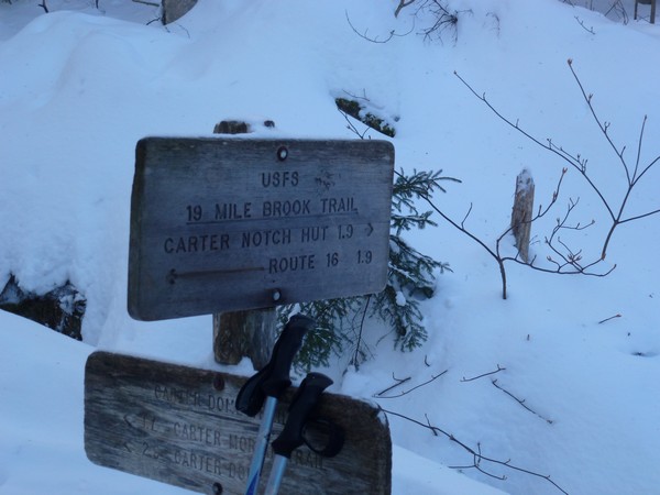
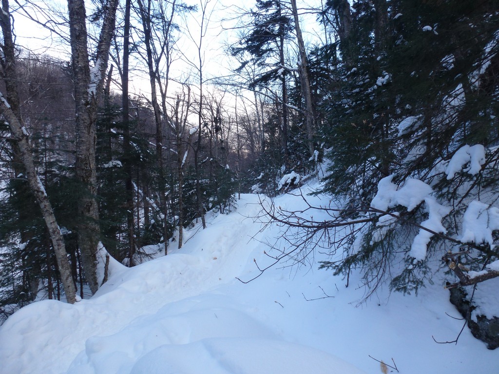
The first leg of the hike, the 1.9 miles to the Carter Dome Trail, was interesting. This was the first time in about 6 months that I had hiked with anyone but myself and I found the pace to be somewhat faster than was comfortable for me. There was another gal right in front of me who seemed to be having similar difficulty keeping up. The trip leader tried to get the people up in front to slow down a little but that wasn't working so well and the gal ahead of me finally decided to bail out and head back to the parking lot.
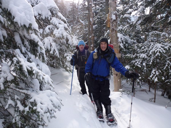
The wind was still making me nervous because although we were sheltered from it down below we could hear it raging up above and see the tree tops swaying back and forth. What was it going to be like above the tree line?
|
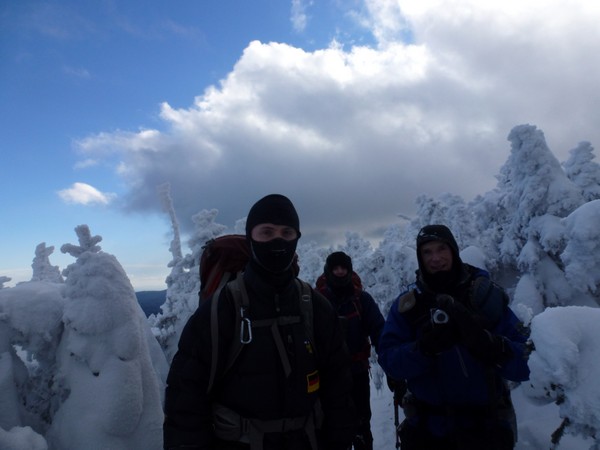
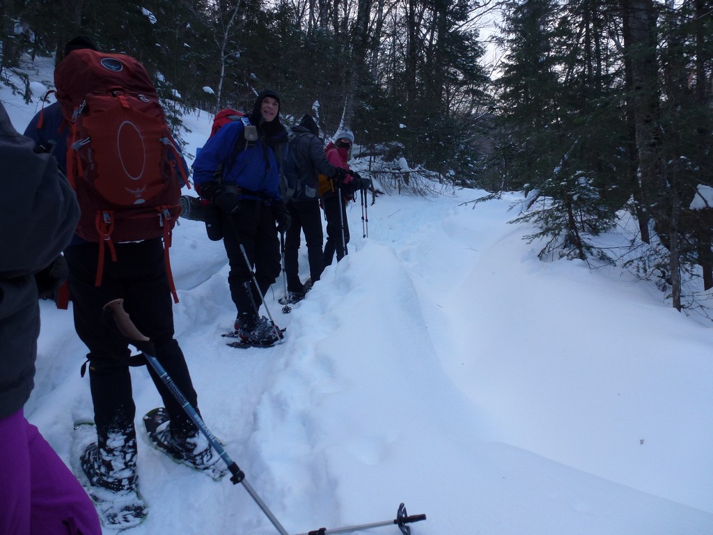
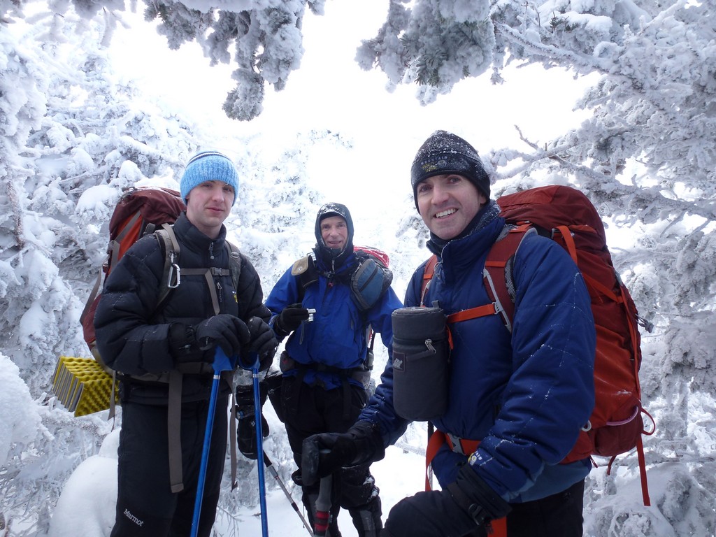
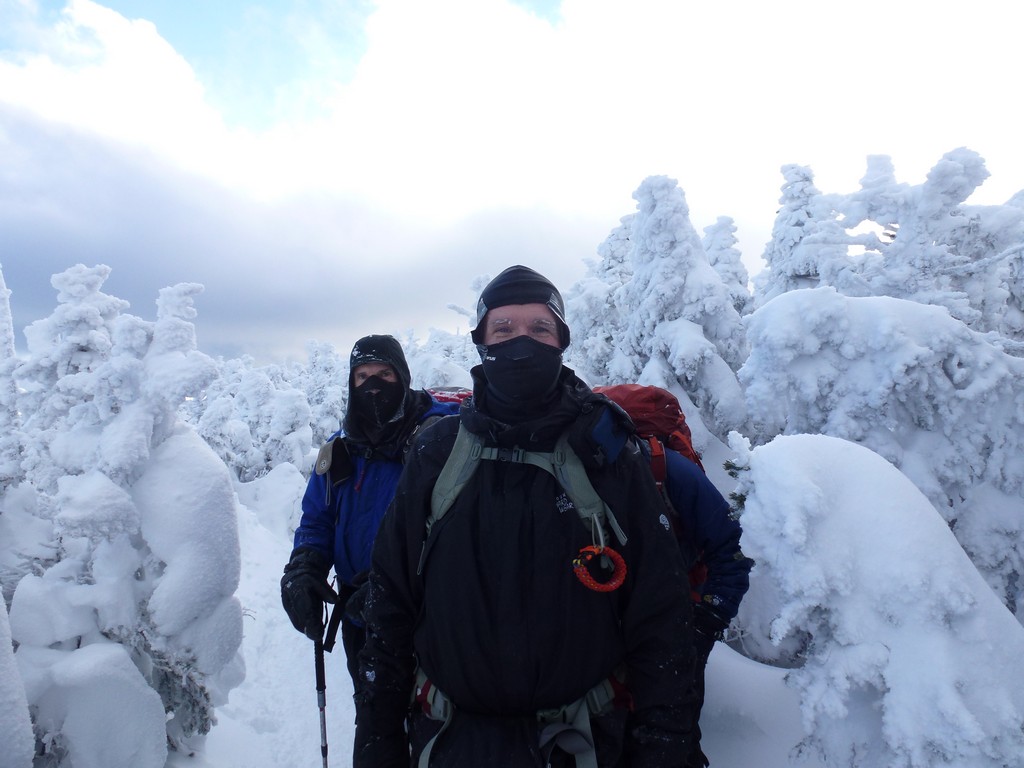
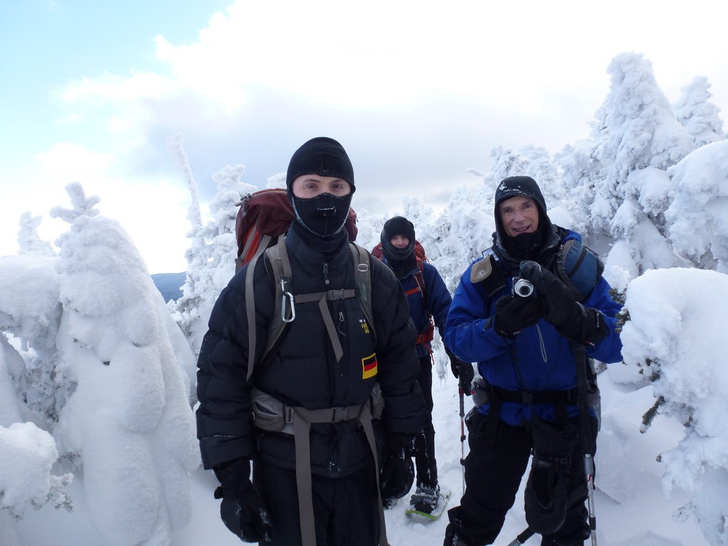
After traveling a little further up the Carter Dome Trail the two people in the lead decided that the rest of the group was holding them back and they wanted to split off and take off on their own. I don't know how trip leaders deal with this type of thing. These people had obviously not read the trip description and were obviously not "group" hikers. The group was supposed to start together and finish together and one of the cardinal rules of hiking with a group is that the group not travel any faster than the slowest member. The trip leader tried to talk them out of this but they were determined and off they went. So now a group that started off at 7 was down to 4---2 trip leaders and 2 others. The 4 of us remaining had a great time though and we were still traveling at a pretty good clip.
|
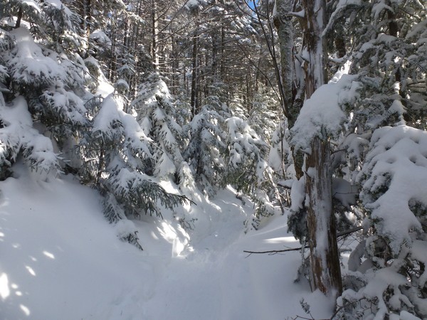
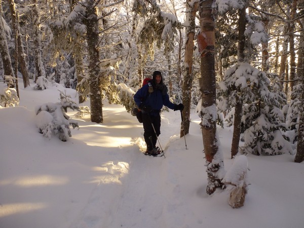
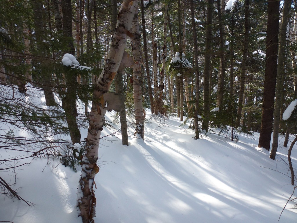
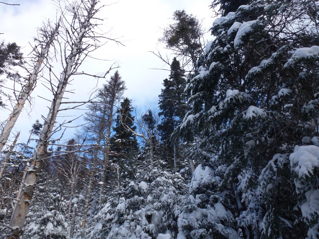
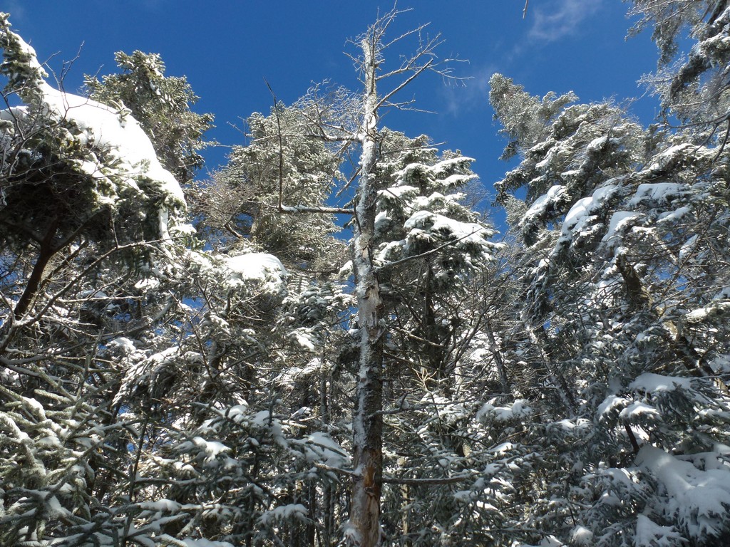
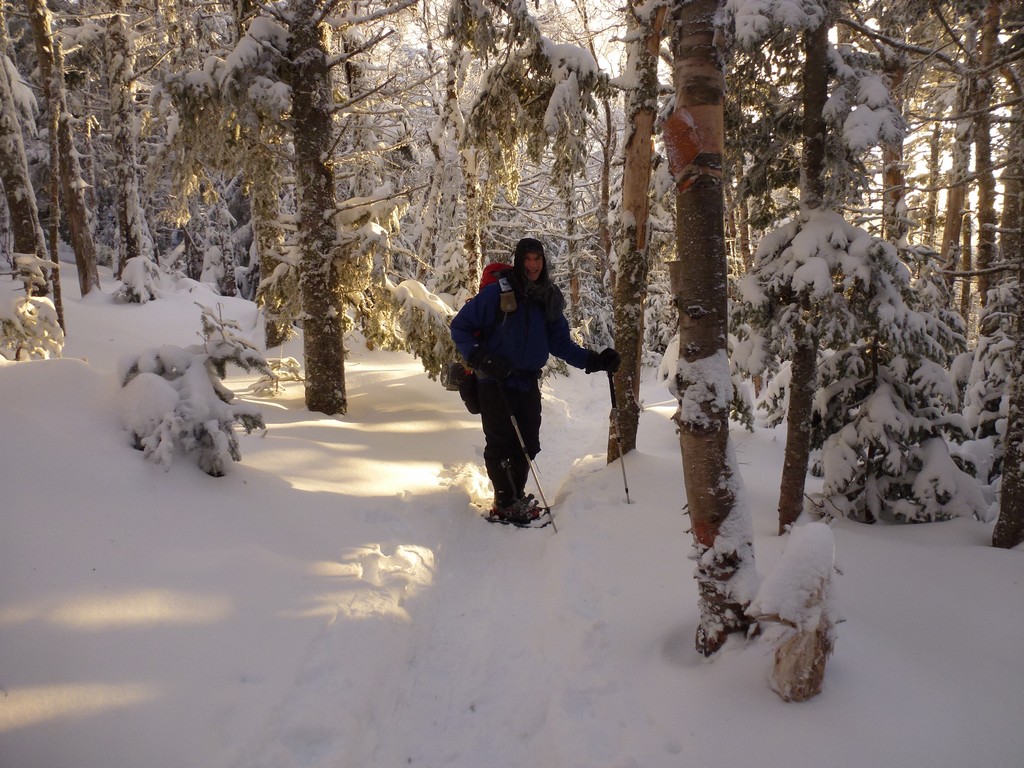
The pace was fine with me for the rest of the trip but another thing that bothered me was not being able to stop for photos when I wanted to. When I hike alone I can stop whenever I want, whenever something off to the side of the trail catches my eye. During the first part of the hike, along Nineteenmile Brook, there were several places I would have liked to stop to take photos and I just couldn't. I hoped that maybe I would be able to hang back a little on the way down and get some photos but it was already dark by then and that didn't work. I managed to take photos when I could, whenever the trip stopped to rest.
|
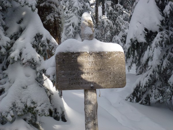
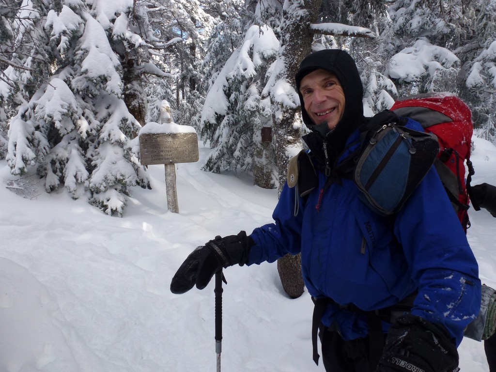
We made good time and arrived at the junction with the Carter-Moriah Trail just a little after noon. This trail would take us to South Carter first in 0.7 more miles and then to Middle Carter another 1.2 miles beyond that.
|
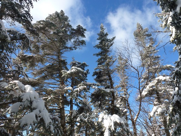
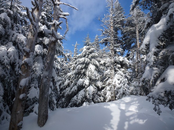
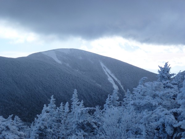
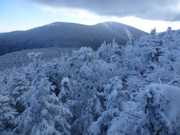
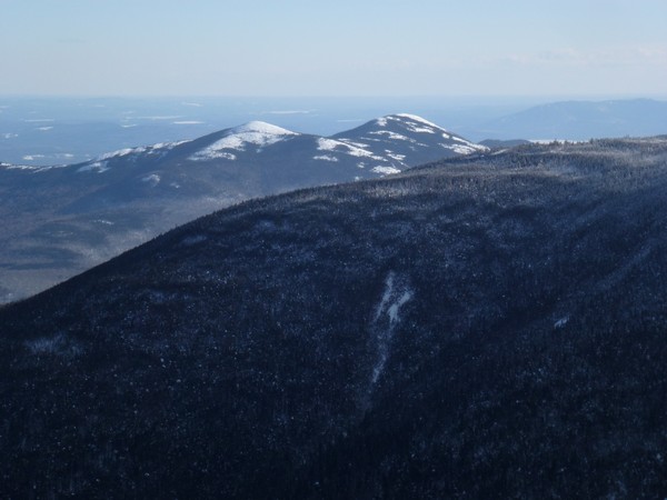
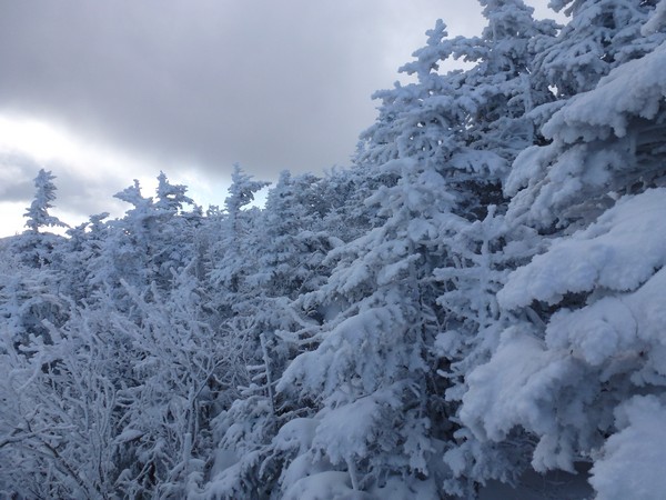
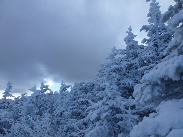
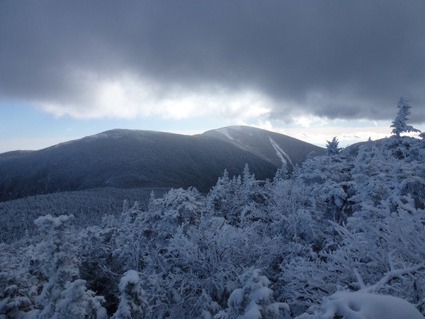
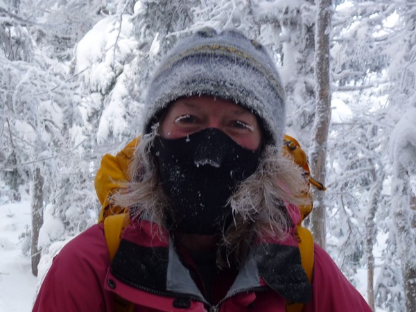
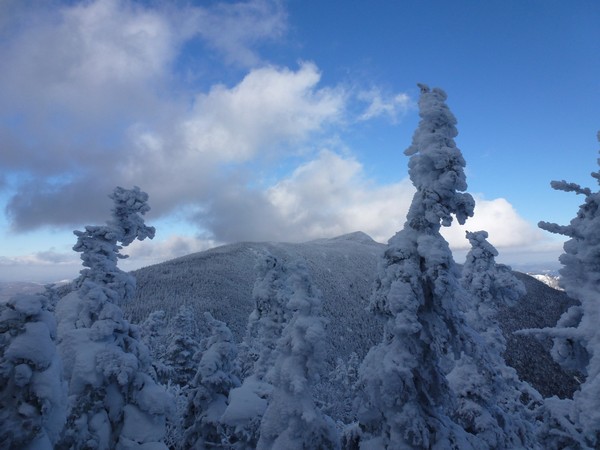
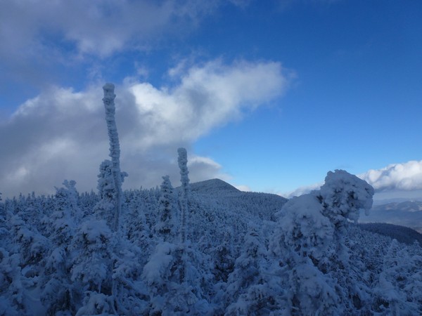
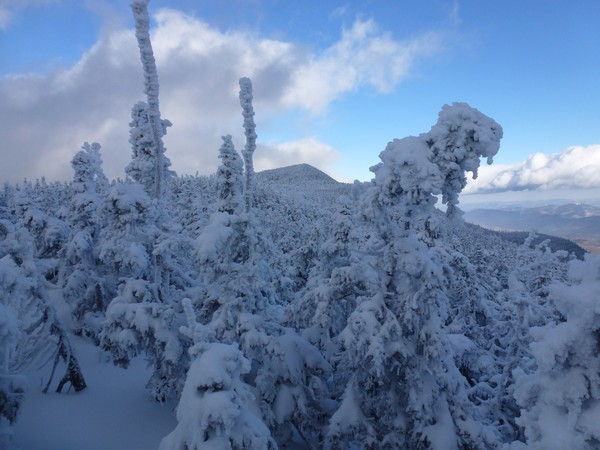
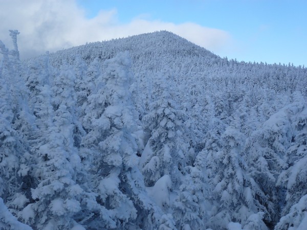
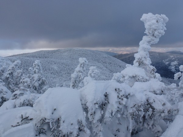
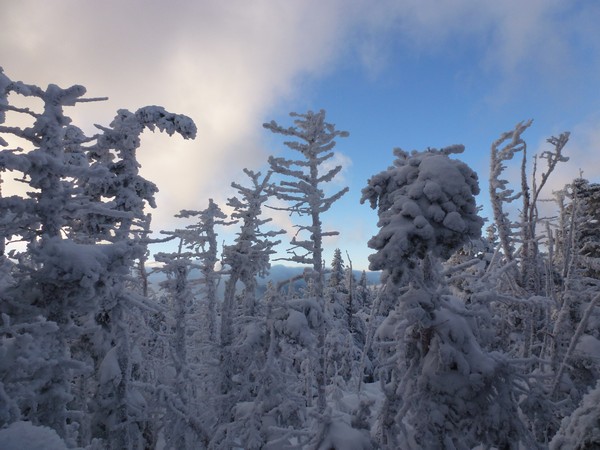
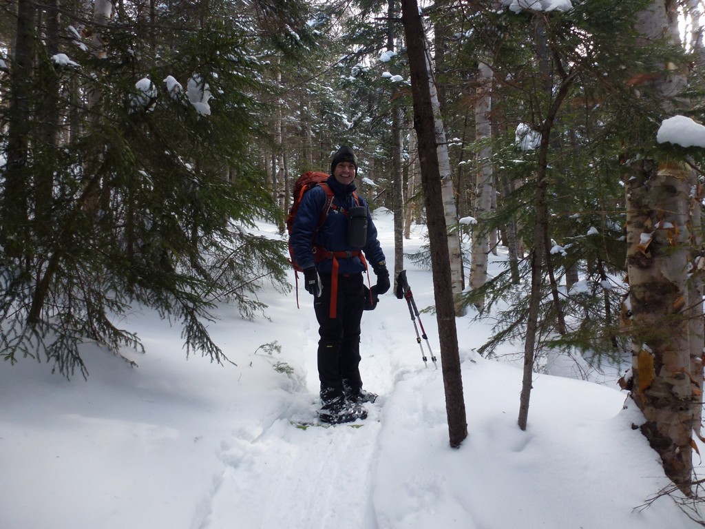
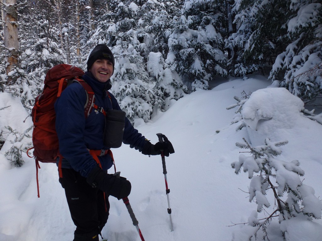
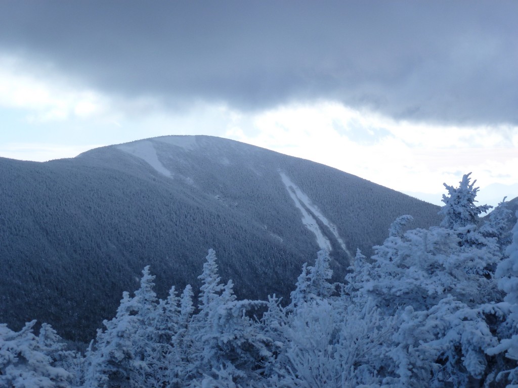
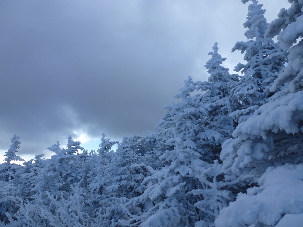
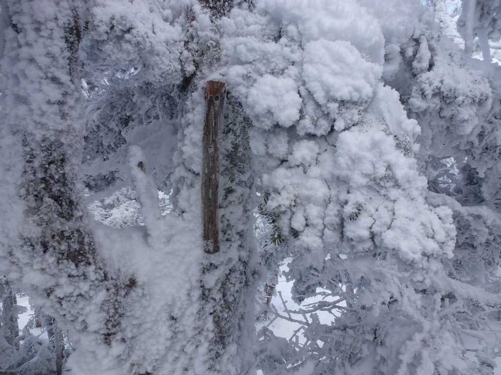
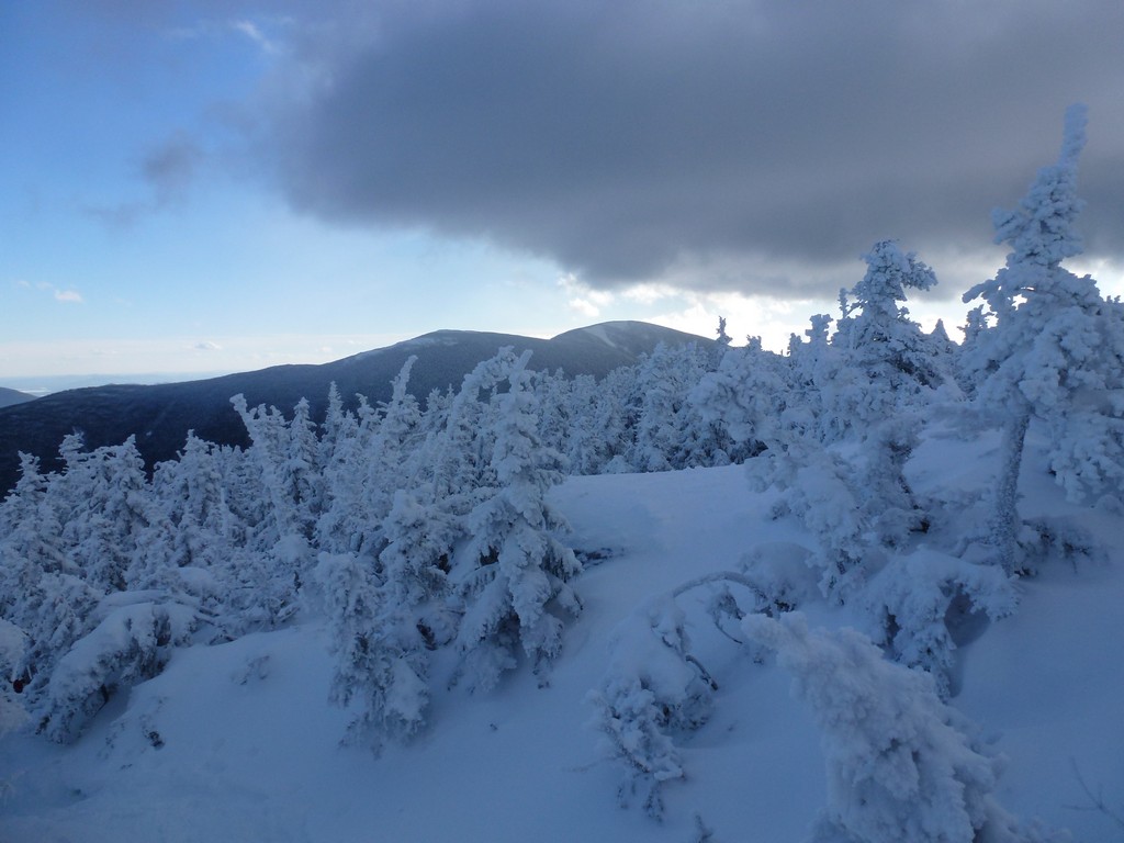
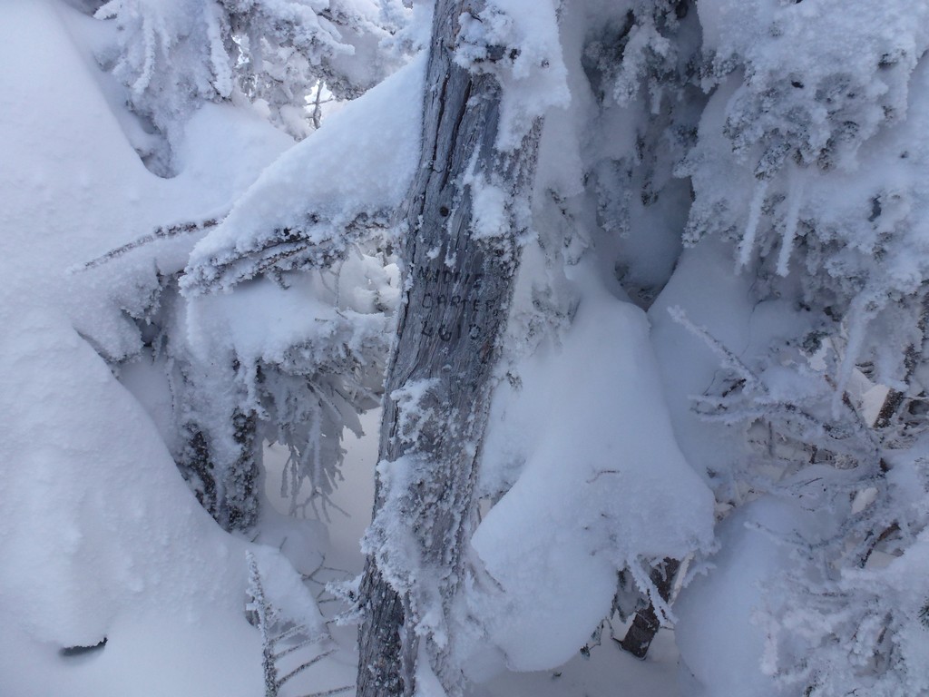
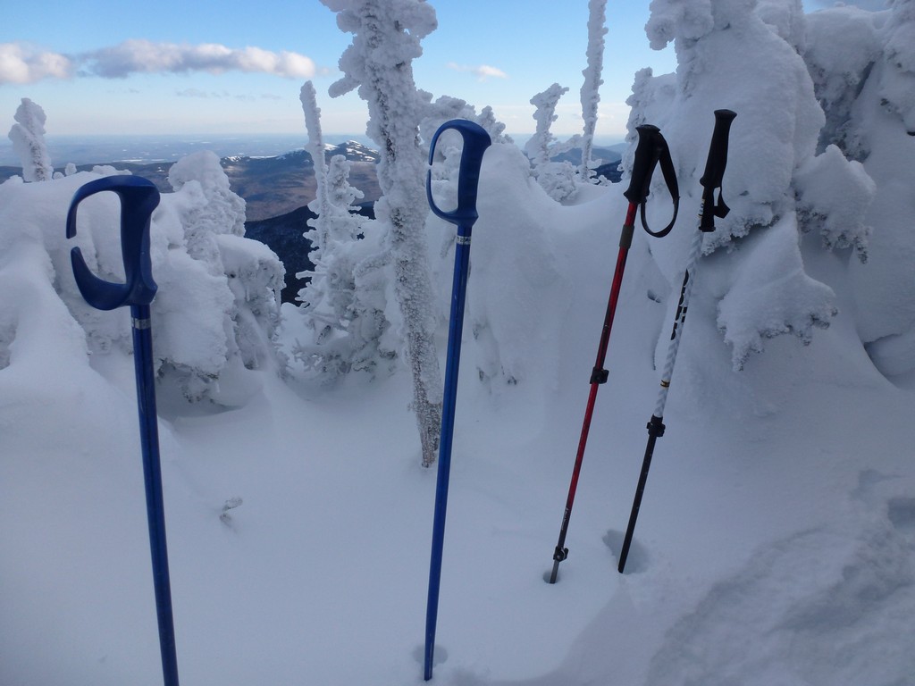
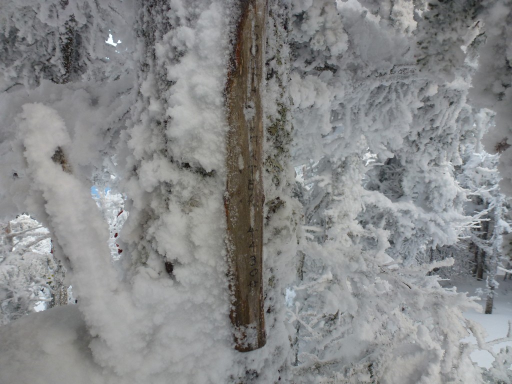
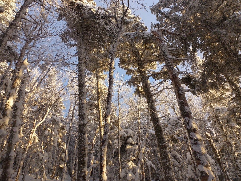
We arrived on the summit of South Carter a little before 1pm and everything up there was just covered in snow, ice and rime. We took a few photos and ate some snacks but did not stay long as we still needed to make it to Middle Carter. To everyone's surprise there really was not any wind up on the ridge at all.
|
As we started to descend South Carter on the way to Middle Carter we met up with the other two people who had split off from our group as they were coming back from Middle Carter. They really must have been flying on the trail to have already summited Middle Carter and be on their way back.
|
Our trip leader, Alex, was getting a little nervous as he had originally set a turn-around time for 2pm for the hike. When 2pm came though we were still about a half of a mile from the summit of Middle Carter. I could tell he didn't want to bail being so close and everyone was still in good shape so we continued on.
|
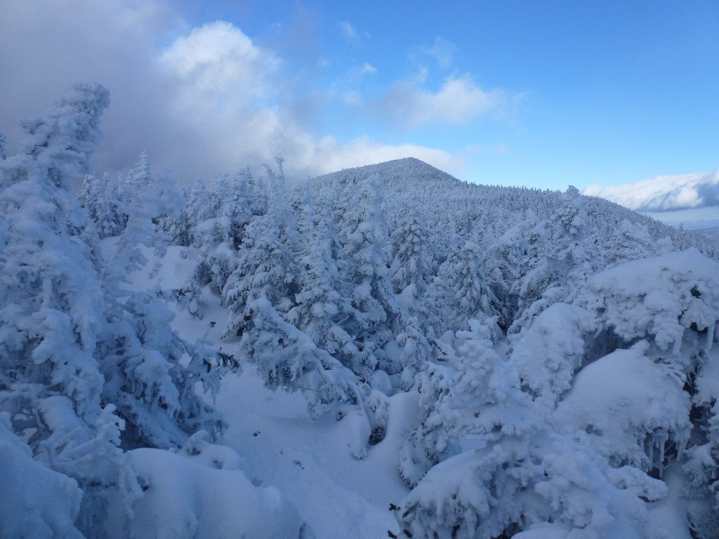
We got to the summit of Middle Carter right around 2:30 and took some photos and had some more snacks before starting back. There was less than 2 hours to sunset and probably closer to 1.5 hours by the time we started down. It had taken 5½ hours to get up there so it was obvious that we would be hiking out in the dark.
|
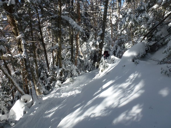
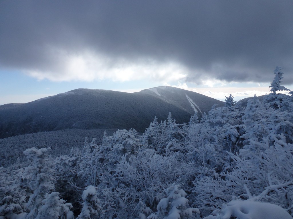
We made a brief rest/snack on top of South Carter on the way back but did not stay there long at all. We still had a long way to go and the sun would be setting in about 45 minutes.
|
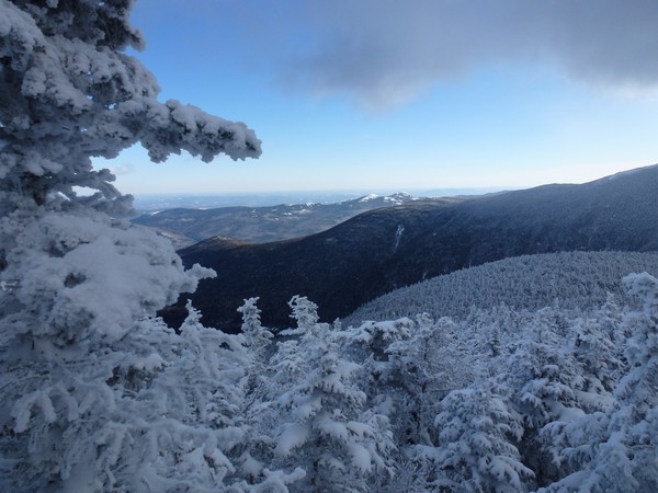
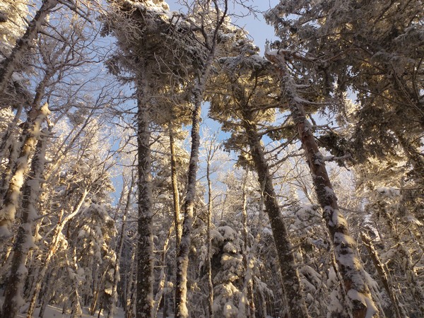
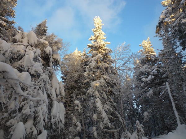
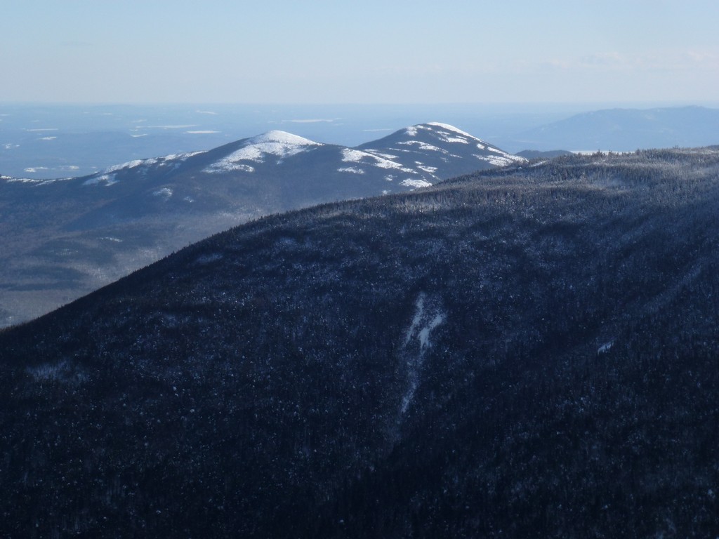
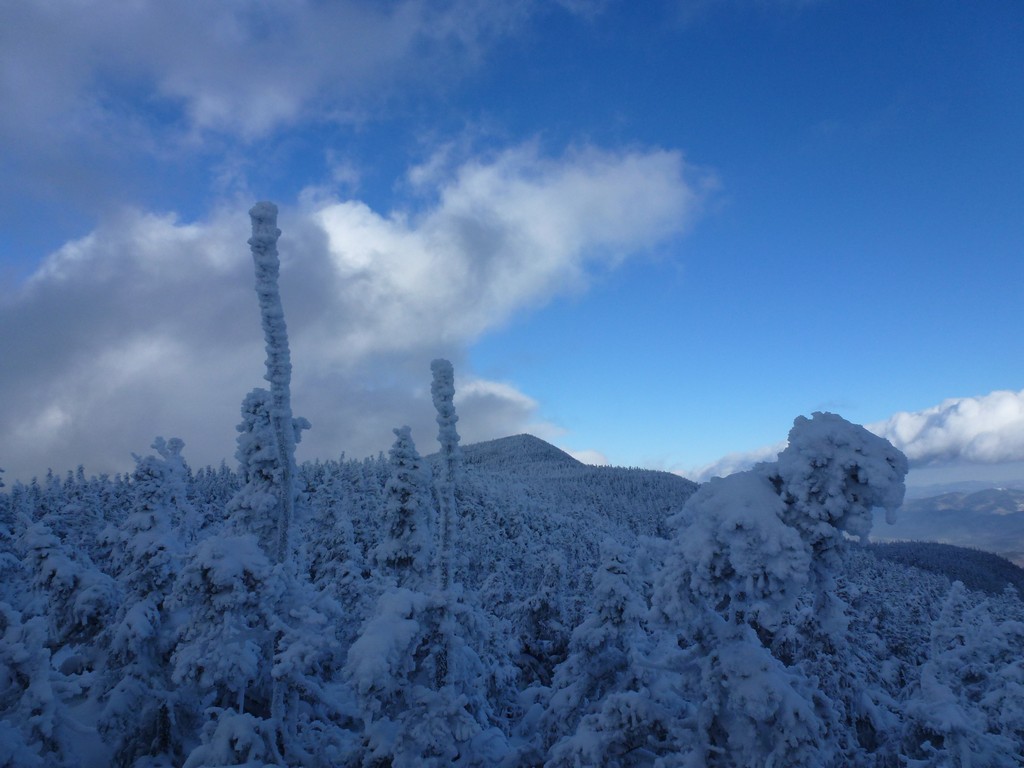
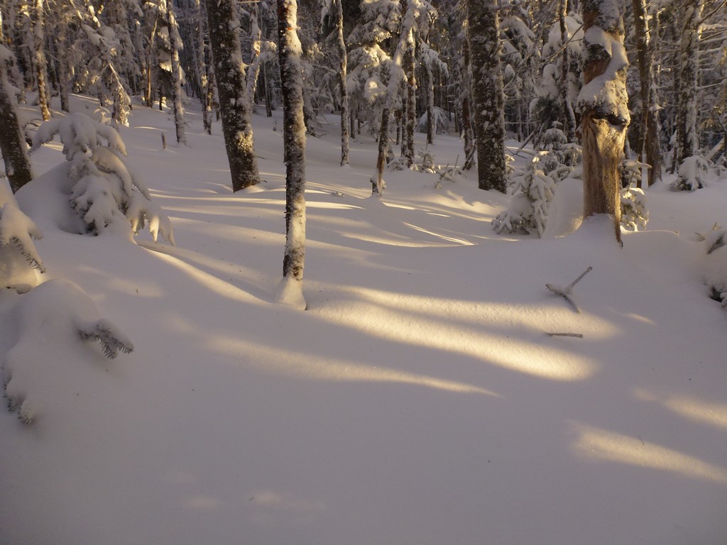
There was some really beautiful scenery on the way down with the low sun shining through the trees and on the snow and I was very happy whenever Alex stopped to take photos since I was able to take some as well.
Sunset came around 4:15 and we probably hiked until around 4:45 before we needed to turn our headlamps on. We got them out of our backs at a previous rest/snack stop so we were already to go when it finally did get dark. I had only hiked out in the dark with headlamps on one prior hike, when I did the Tripyramids with Pam & Katie back in November of 2011, and doing it again on this hike brought back some nice memories of that one.
|
We arrived back at the parking area almost exactly at 6pm and hiking out that last mile or so was really beautiful. The sky was clear and dark and full of stars and I would occasionally catch a glimpse of it above us.
After getting rid of some of our hiking gear and stowing it in the cars we all headed into Gorham for a celebratory meal. It was after 8pm by the time I left Gorham and I did not home until close to 11:30pm. Long day!
|
|
|---|
|
|---|


