|
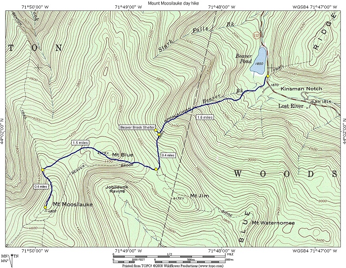
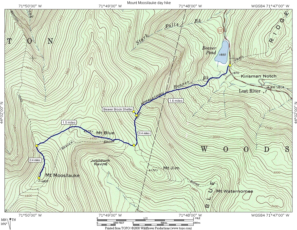
Mount Moosilauke via the Beaver Brook Trail |
|---|
This day hike involved going up the Beaver Brook Trail to Mount Moosilauke and and returning via the same route.
|
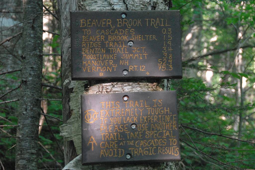
The starting point for this hike was the parking lot for the Beaver Brook Trail in Kinsman Notch.
I had already been to the top of Mount Moosilauke once, back in July of 2008, but I decided to give it another try since it was so cloudy and rainy during that trip I did not get to see anything from the top.
This was a glorious day for climbing a mountain. I was worried at first when I got up and checked the latest satellite image as it was showing lots of clouds, with only a few breaks. I decided to go anyway. I almost didn't make it at all as when the alarm went off at 3:30 I just shut it off and don't even remember doing so. Luckily my wife woke more than I did and nudged me to get going.
There were no clouds when I got to the trailhead and were none for the entire drive up so I don't know what that satellite map was showing me. I did go through a couple of areas of pretty dense fog but that was it.
|
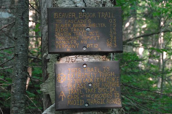
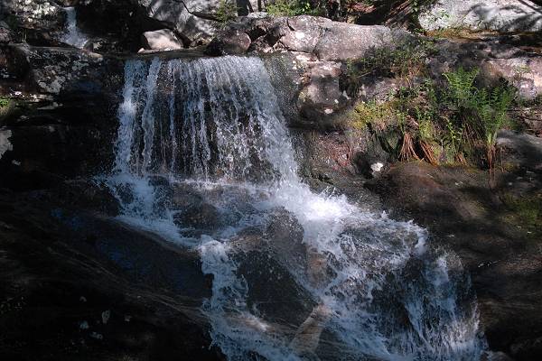
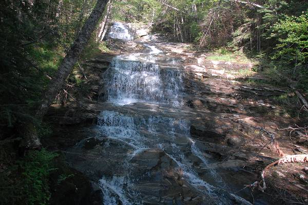
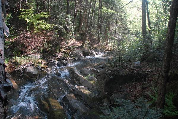
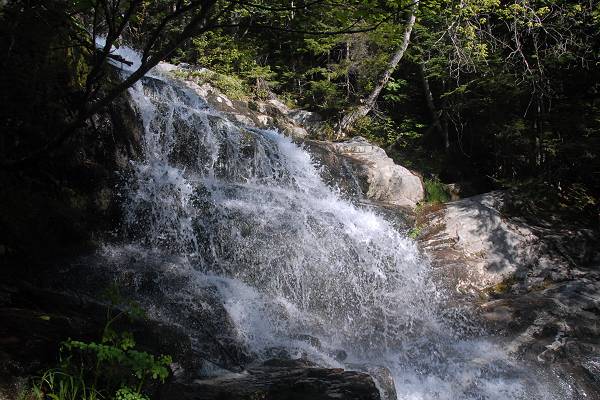
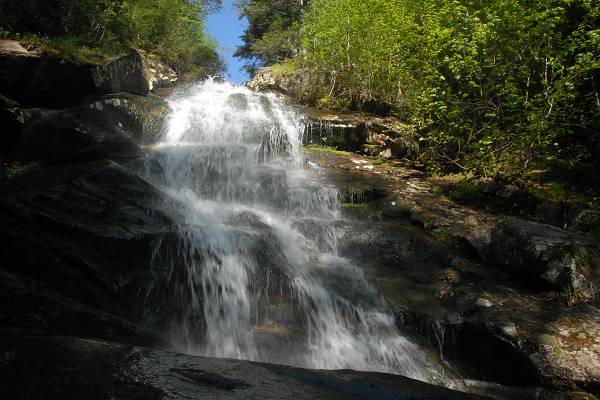
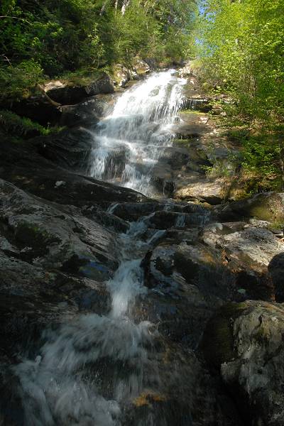
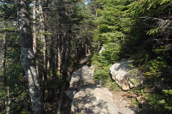
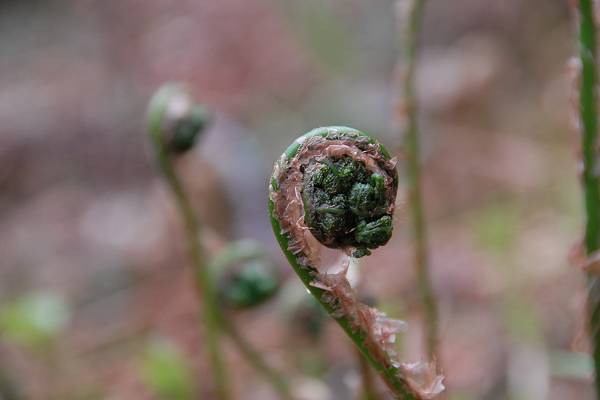
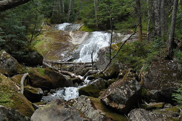
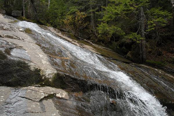
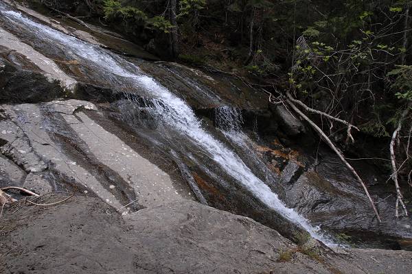
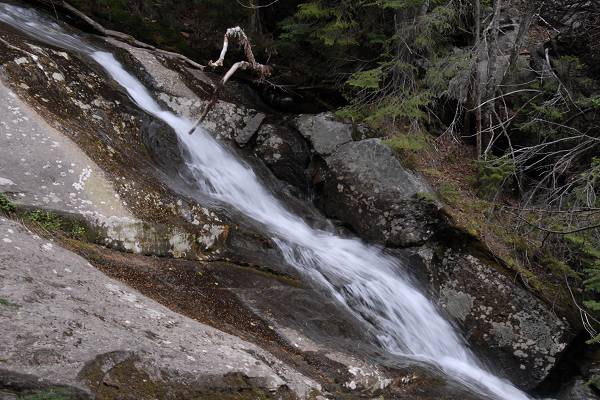
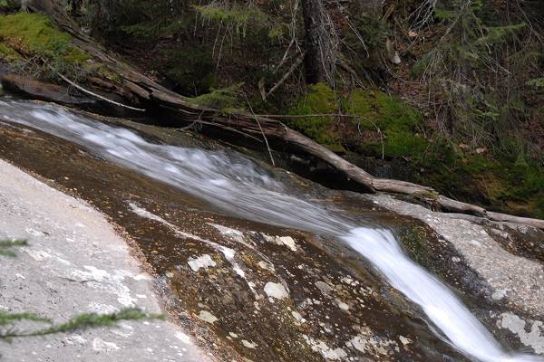
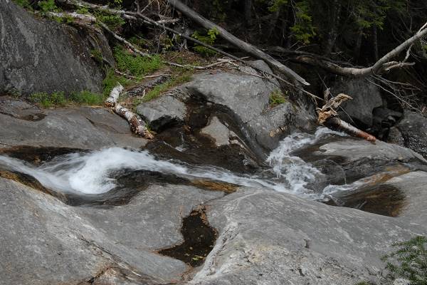
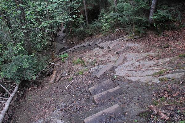
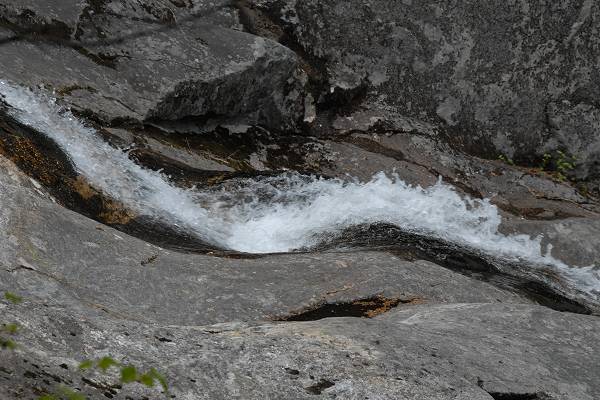
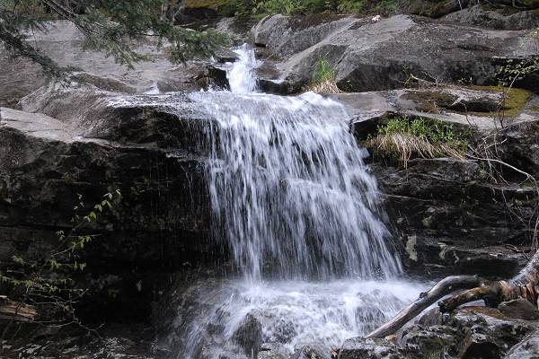
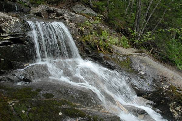
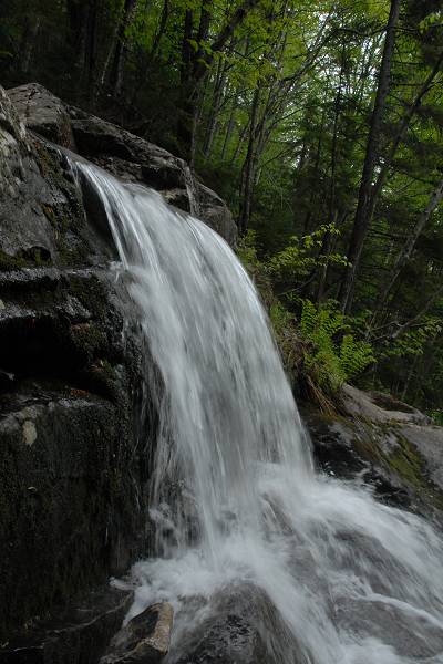
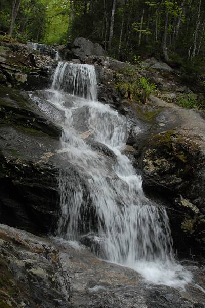
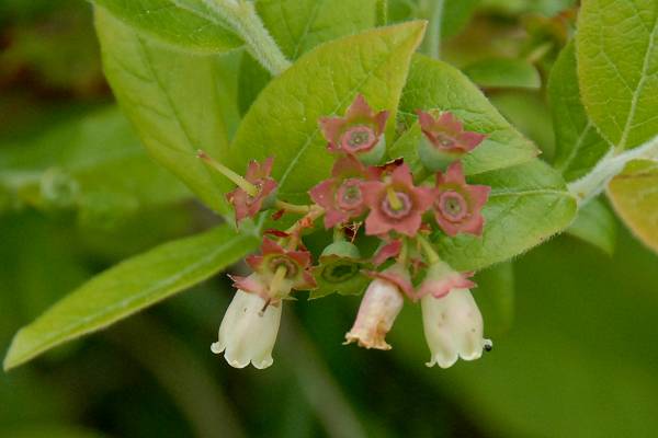
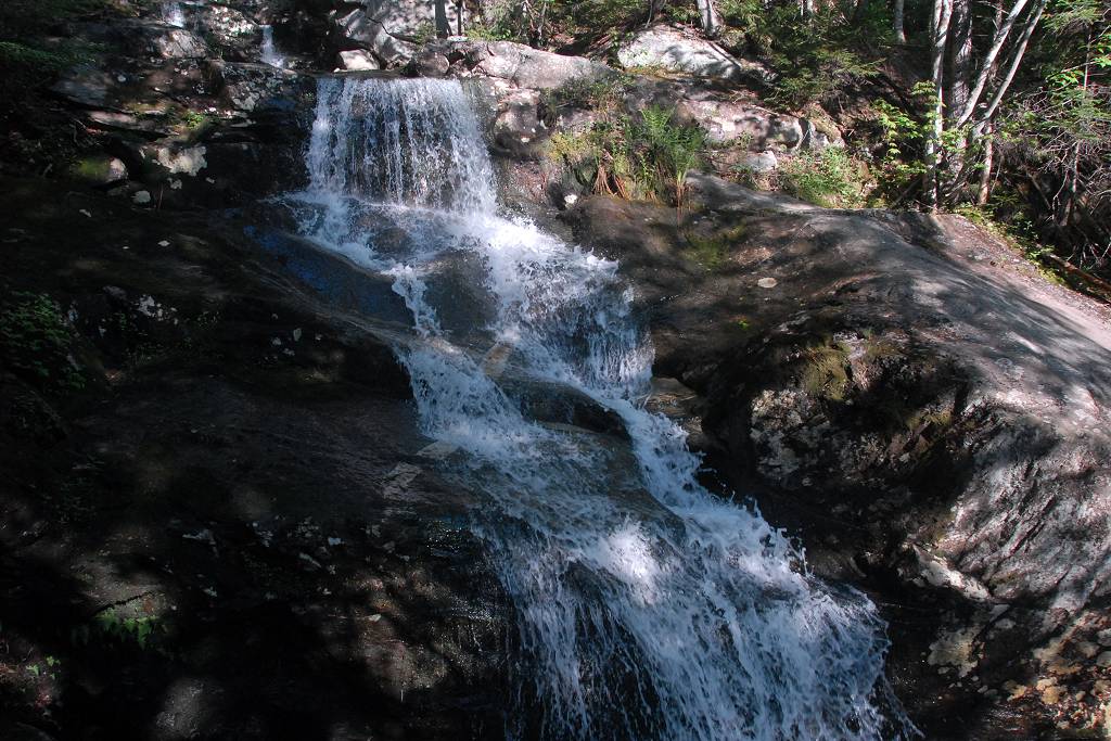
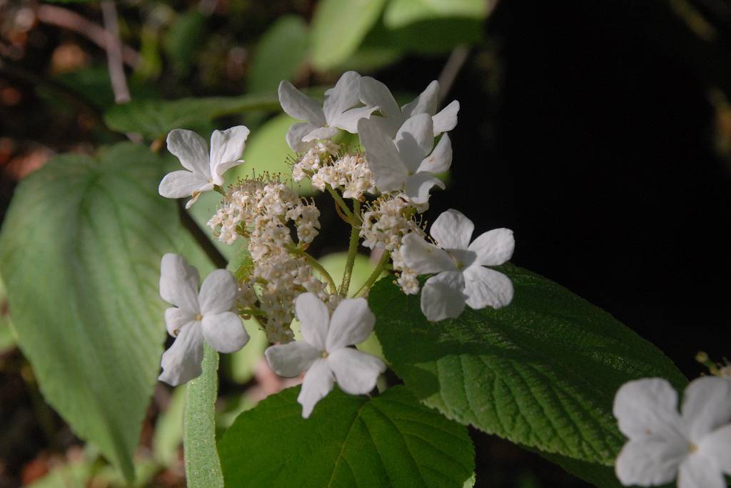
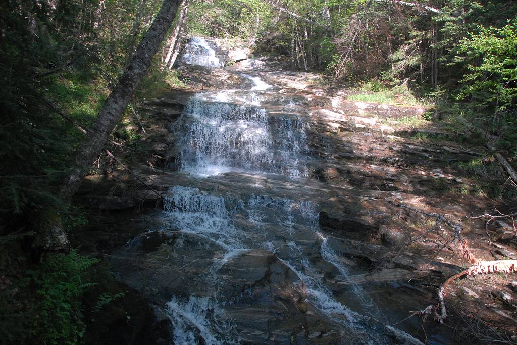
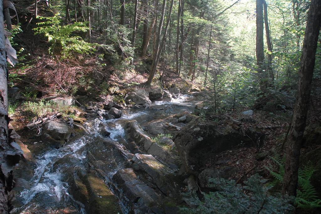
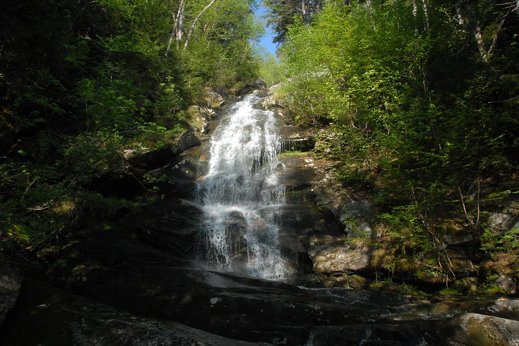
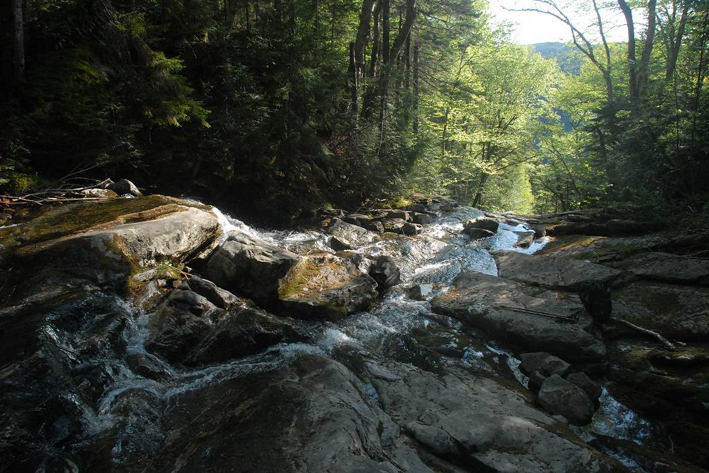
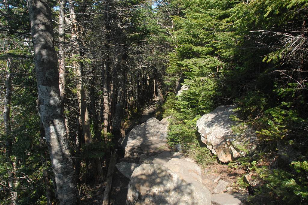
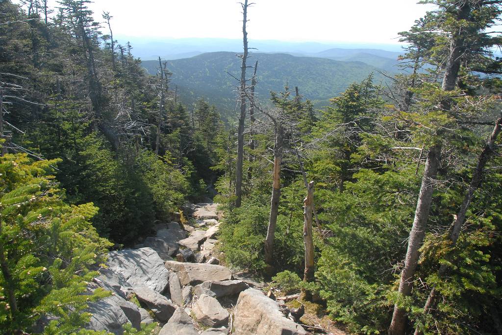
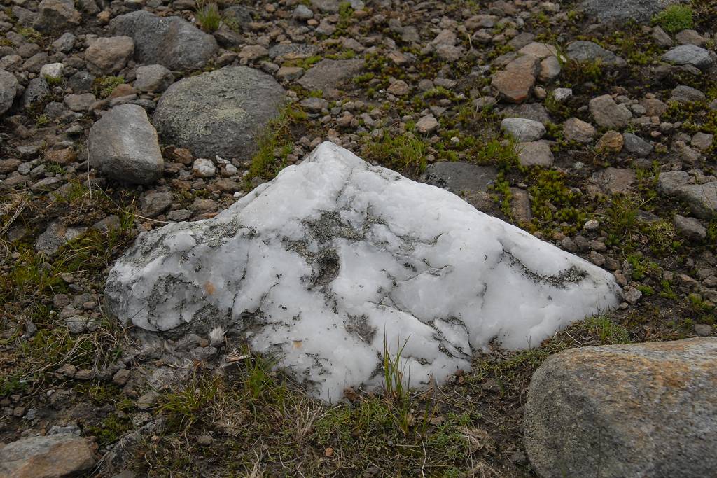
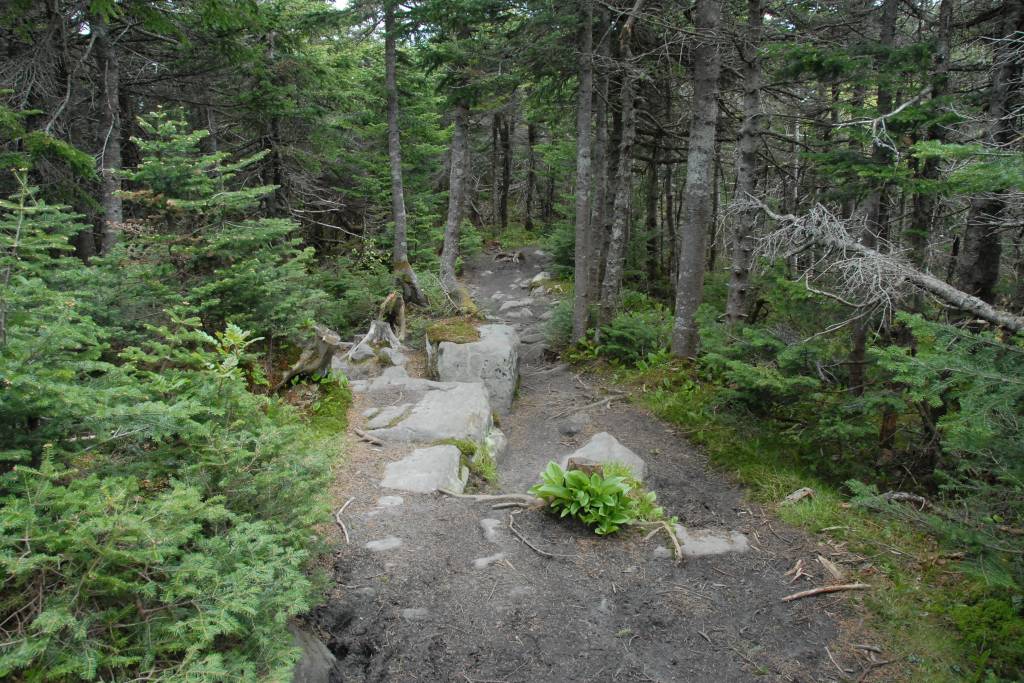
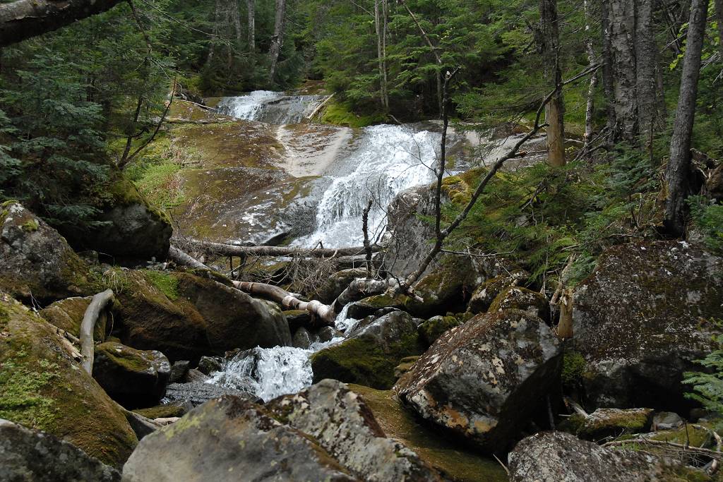
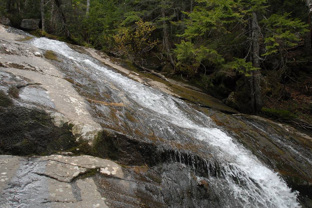
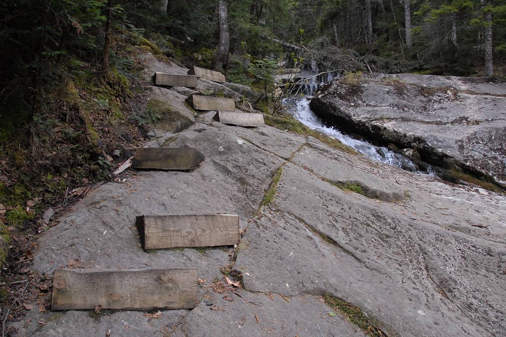
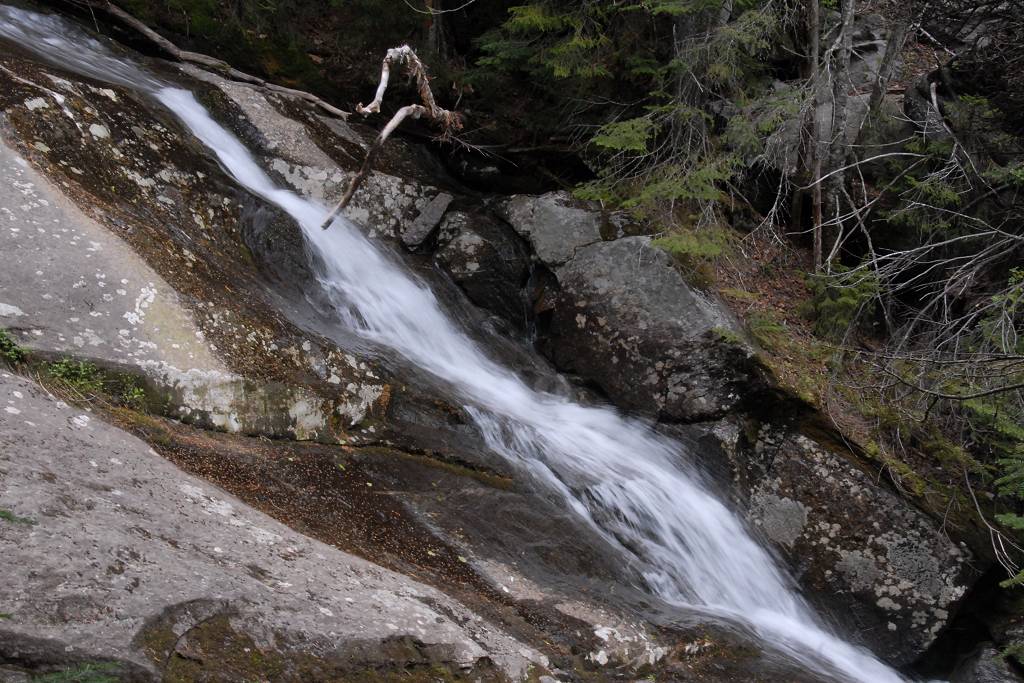
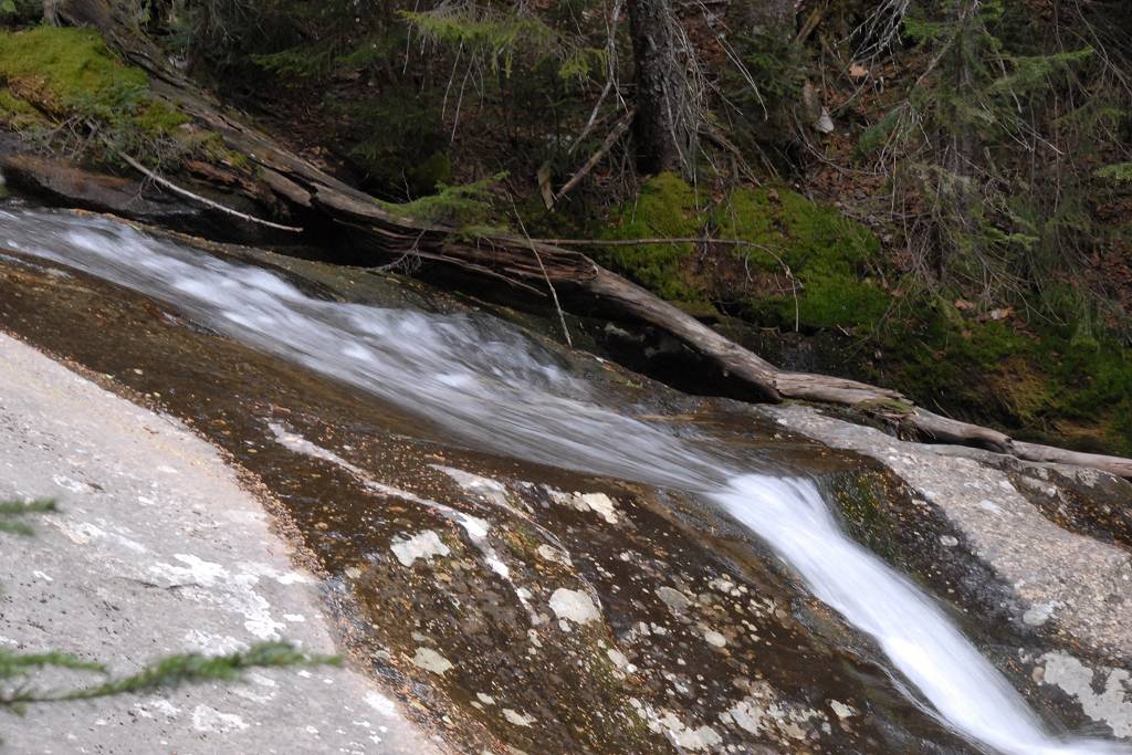
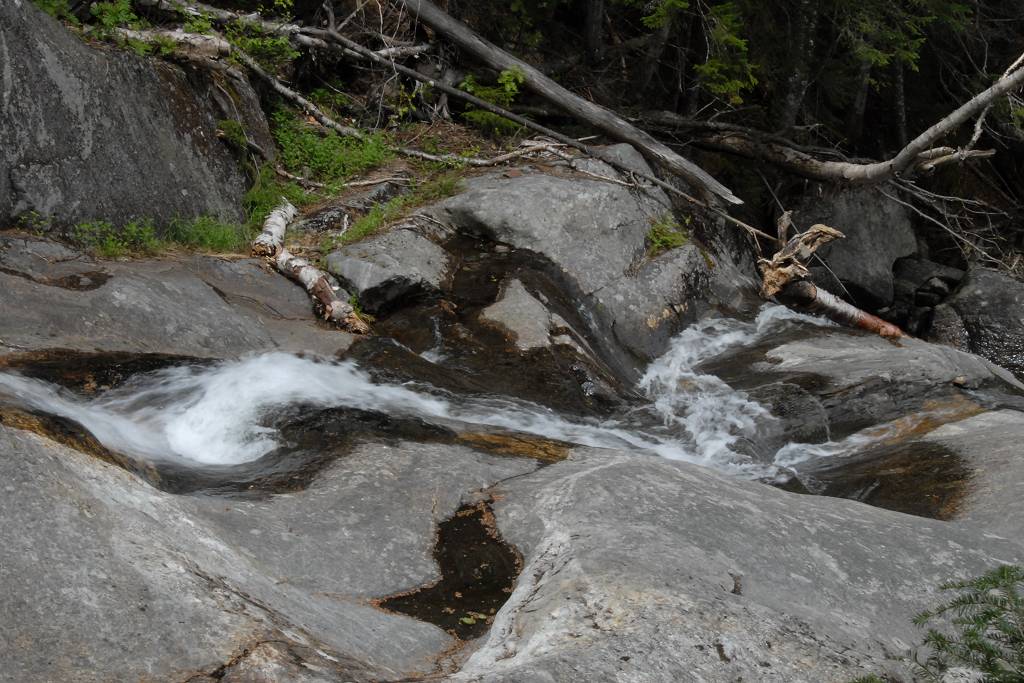
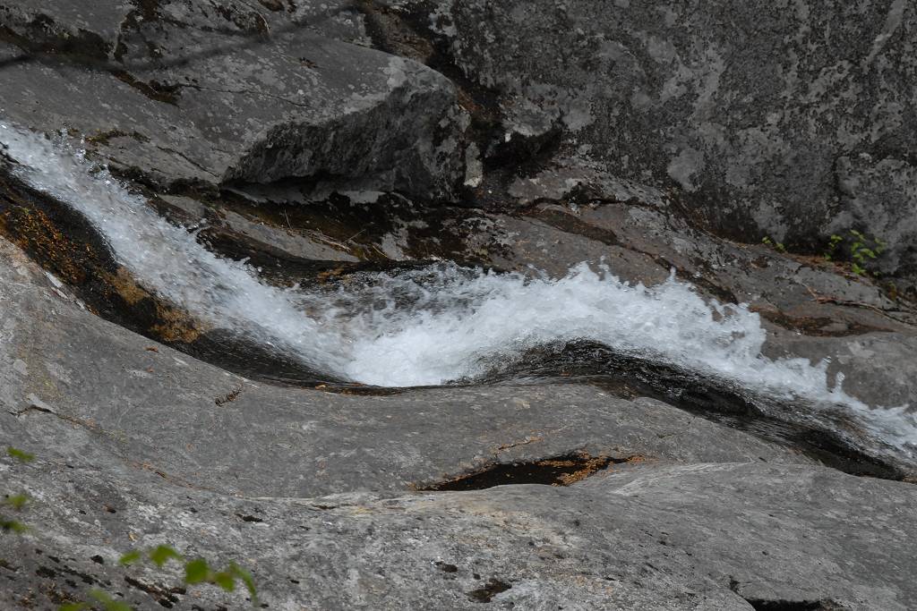
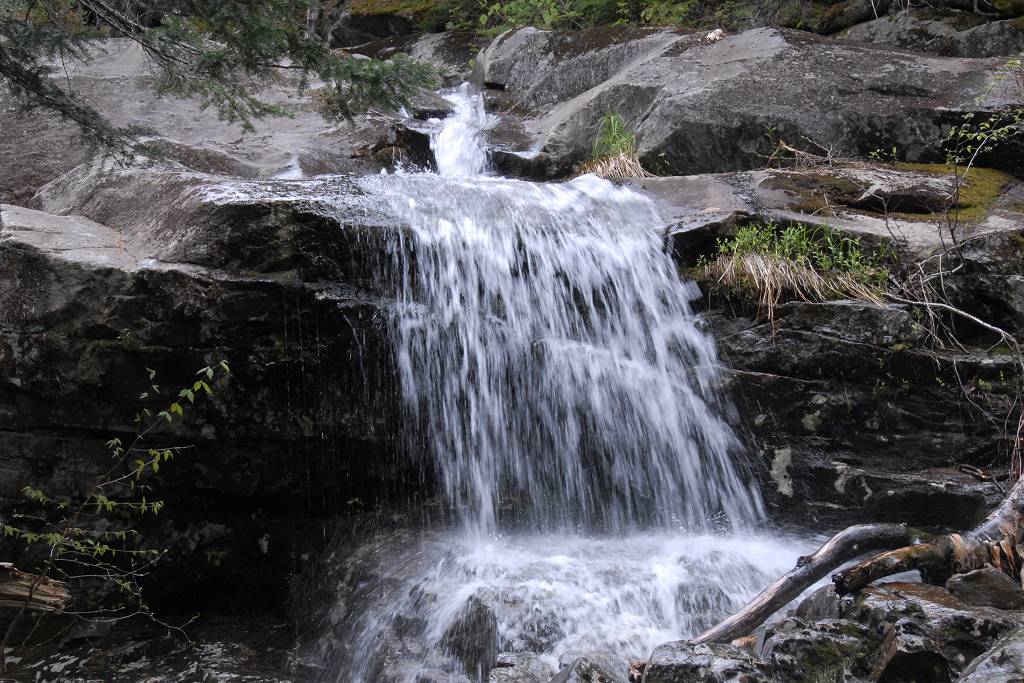
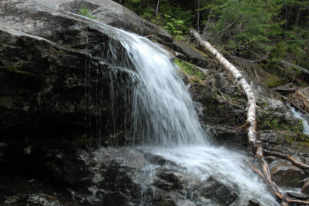
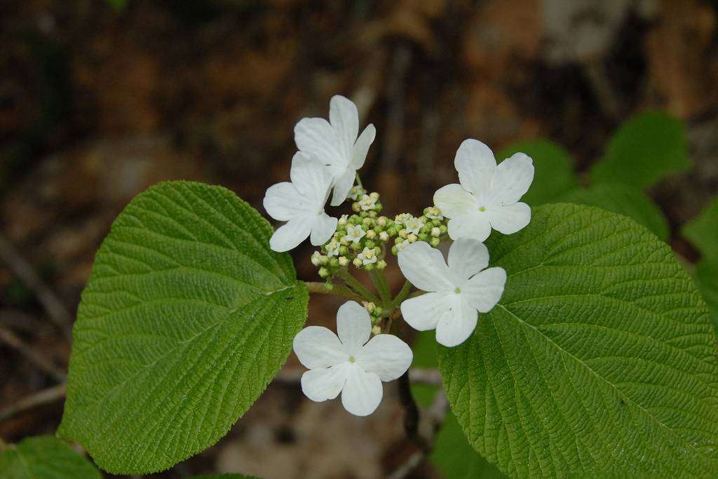
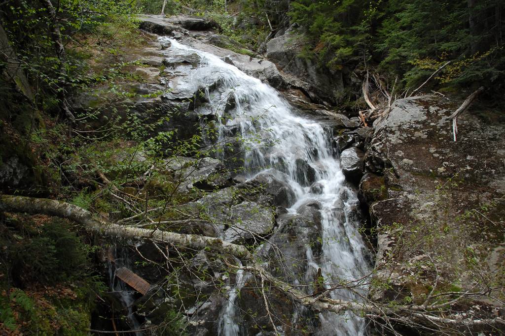
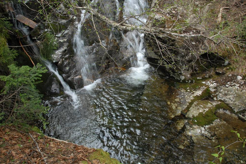
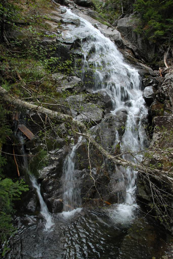
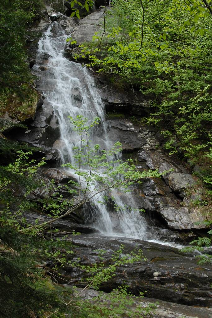
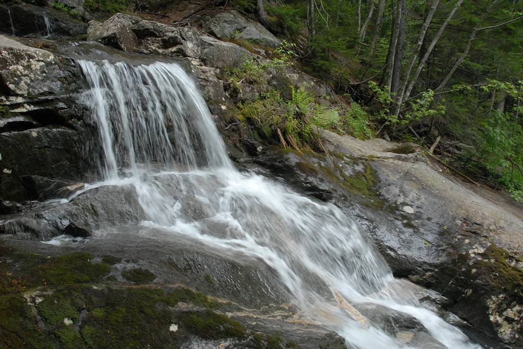
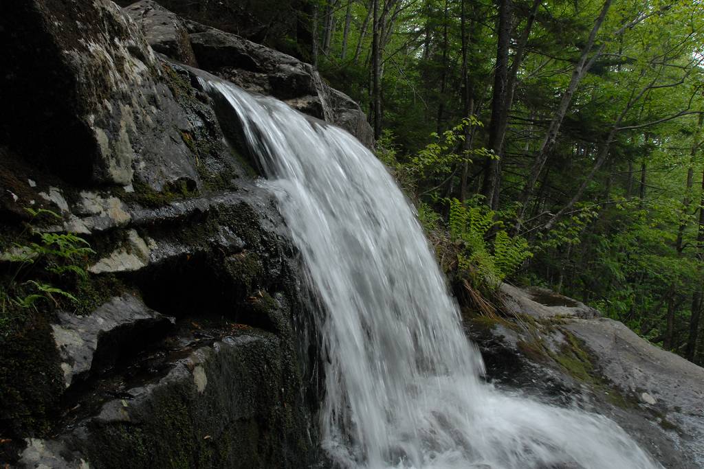
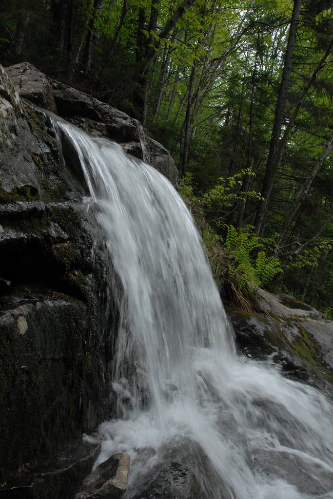
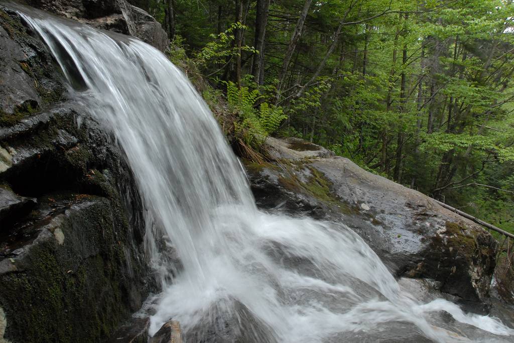
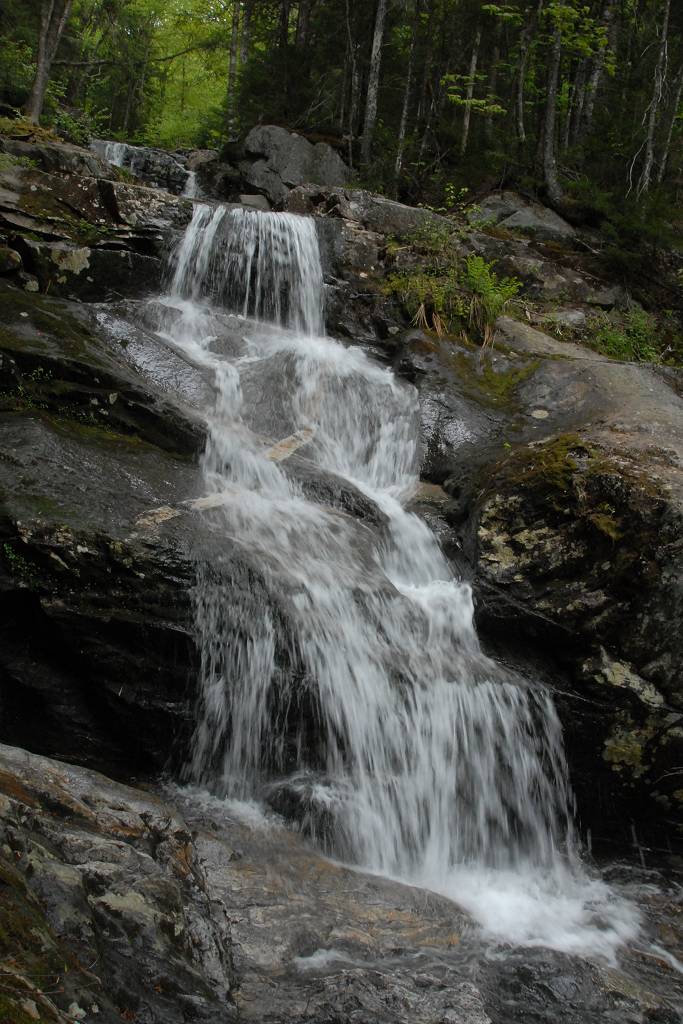
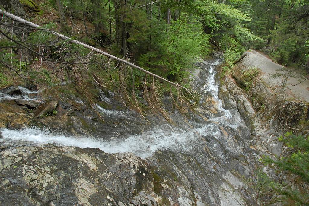
I was on the trail right about 7am and it took about three hours to get to the top. The waterfalls and cascades of Beaver Brook were all flowing with a very high volume and it was wonderful to be hiking next to all of this. I had forgotten how steep this trail was in places and as soon as I started up I knew I was not going to enjoy coming back down. I remember laughing to myself when I saw the sigh about the trail being rough because I obviously didn't remember how steep it was. Although it is steep I still would not consider it rough but it sure is labor intensive.
|
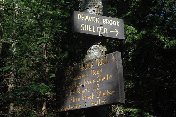
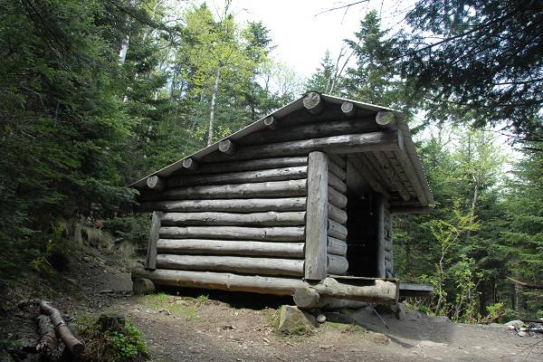
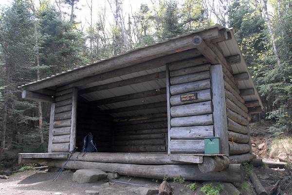
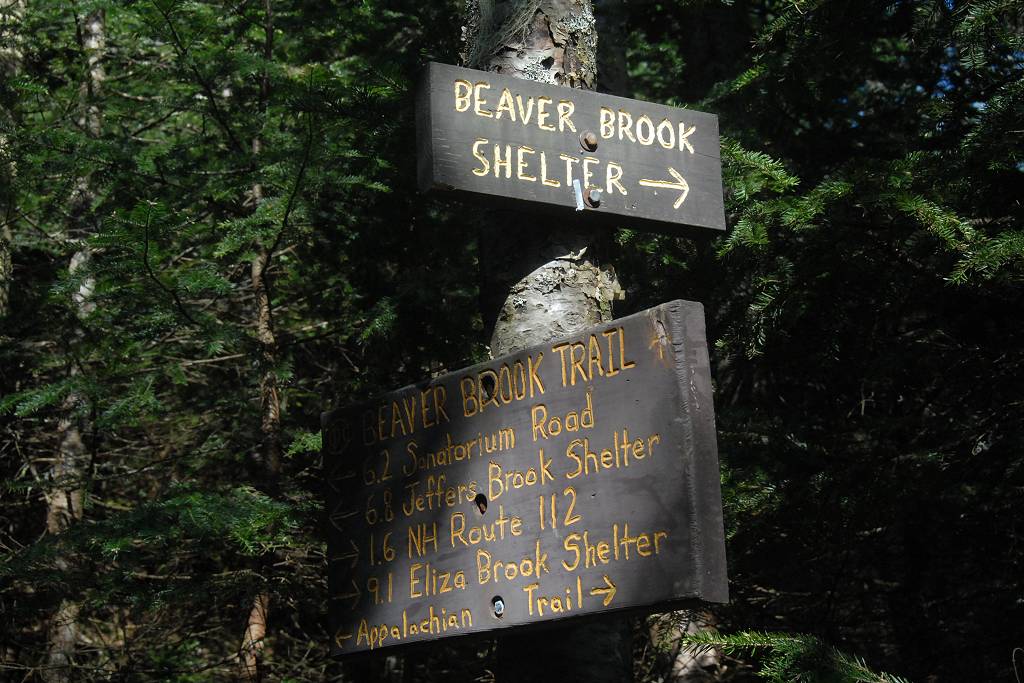
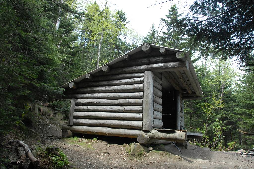
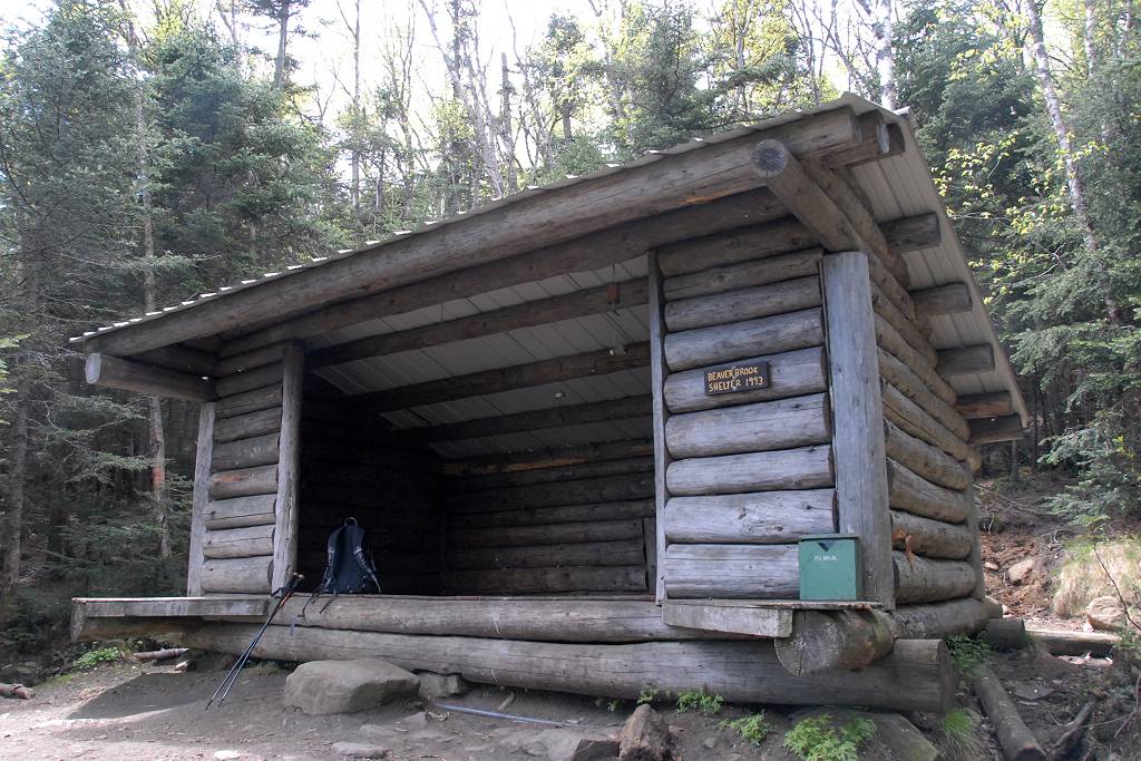
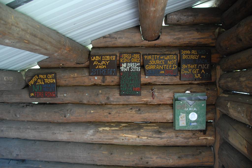
I reached the cut-off for the Beaver Brook shelter a little before 9am and since the weather was nice I decided to pass on the extra 0.4 mile each way it would take to go there. Last time I was up this trail the weather had not been the greatest and it was nice to make the side trip and rest in comfort for a while but this time that just wasn't necessary.
|
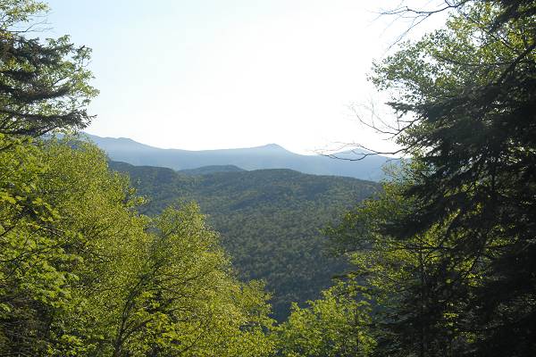
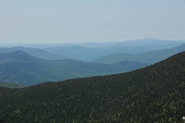
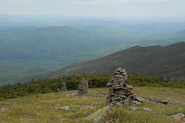
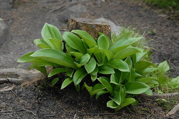
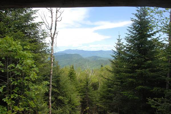
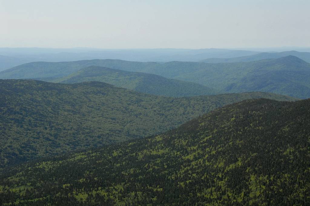
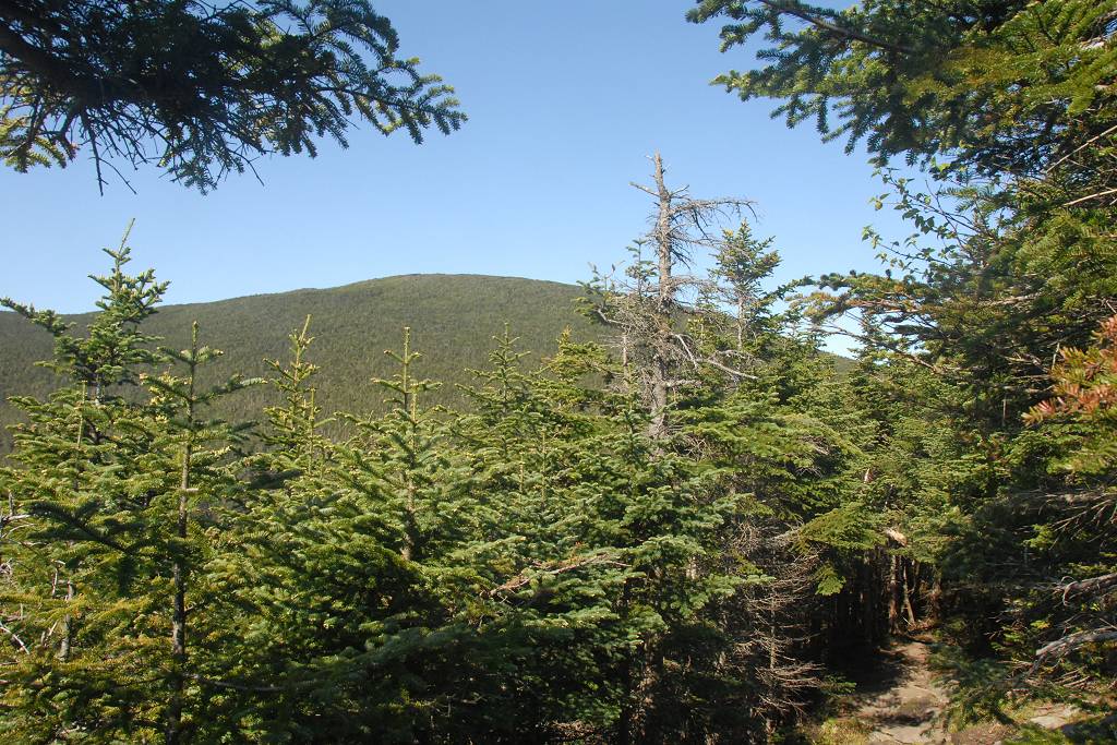
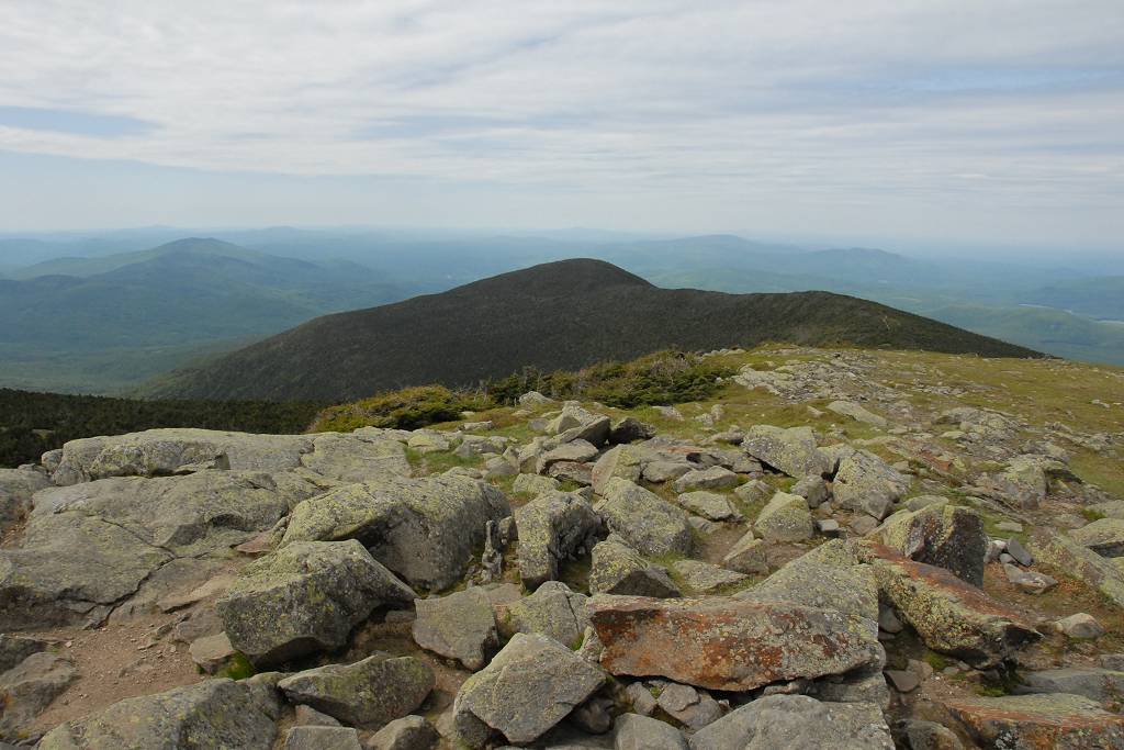
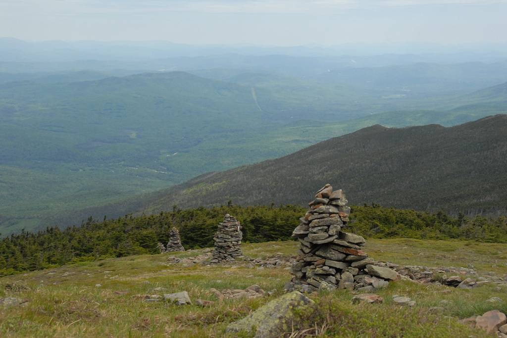
Shortly after passing the cut-off I started getting some really nice views of Mount Moosilauke through the trees and then as I got a little higher there were a couple of more open areas where the views were fantastic. It sure was a beautiful day for this hike.
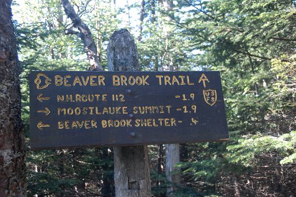
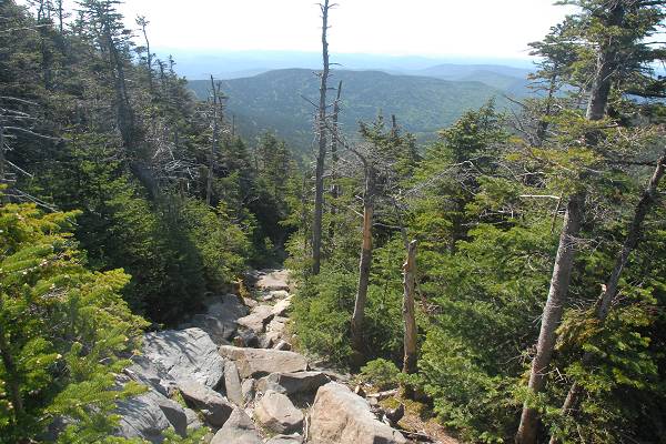
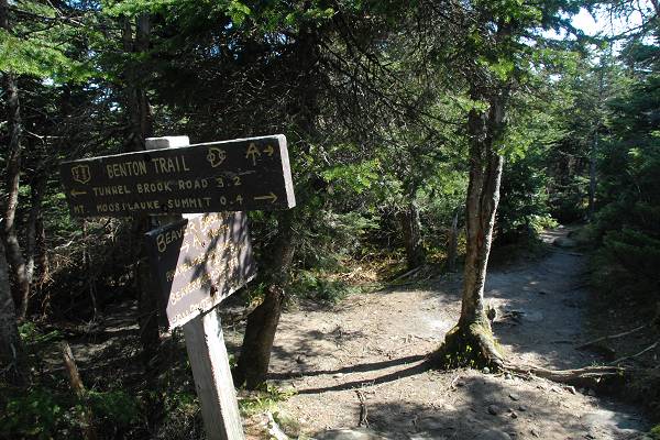
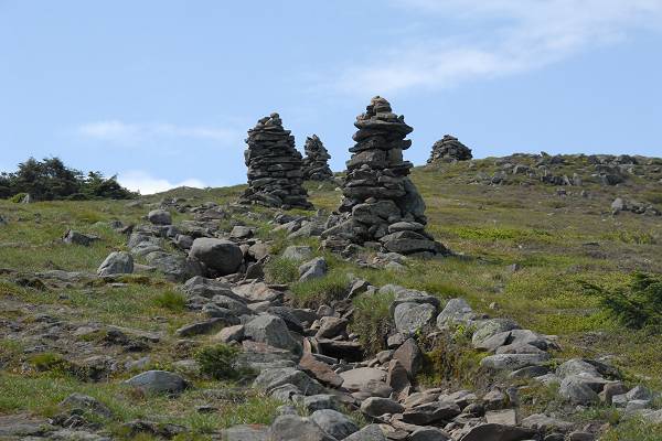
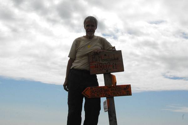
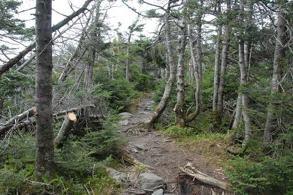
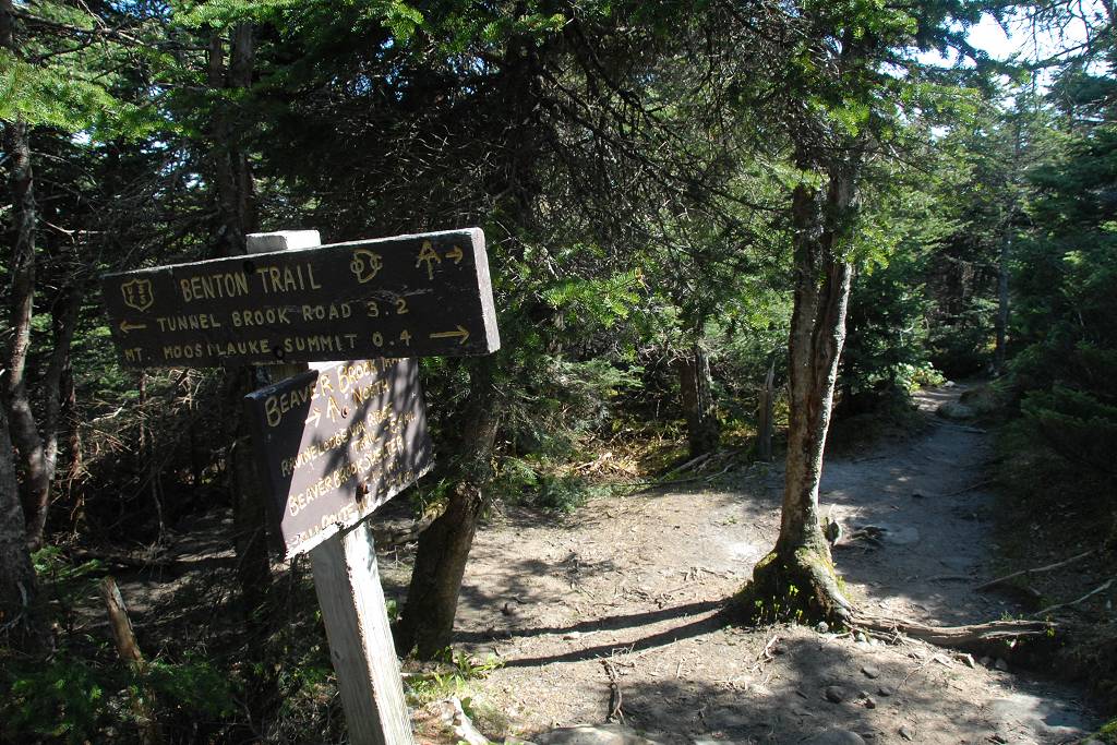
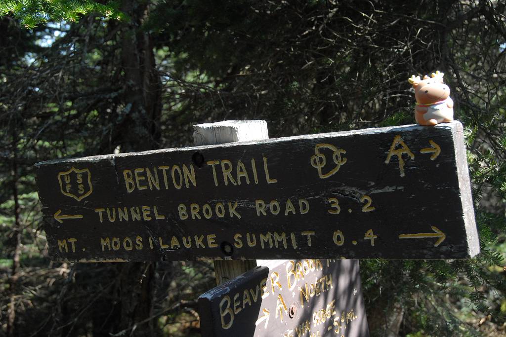
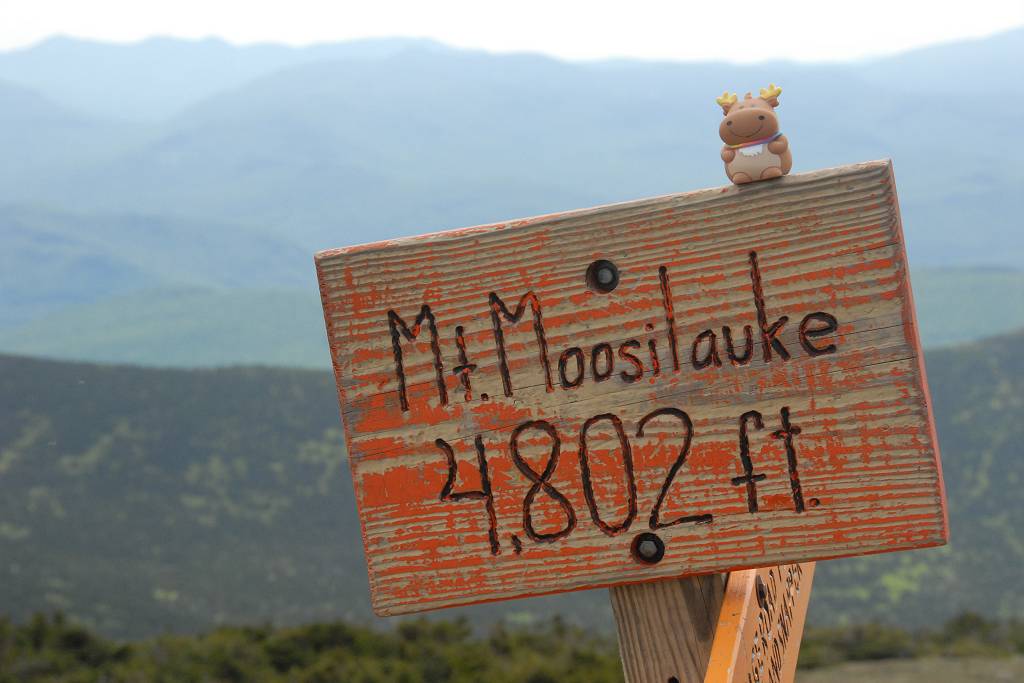
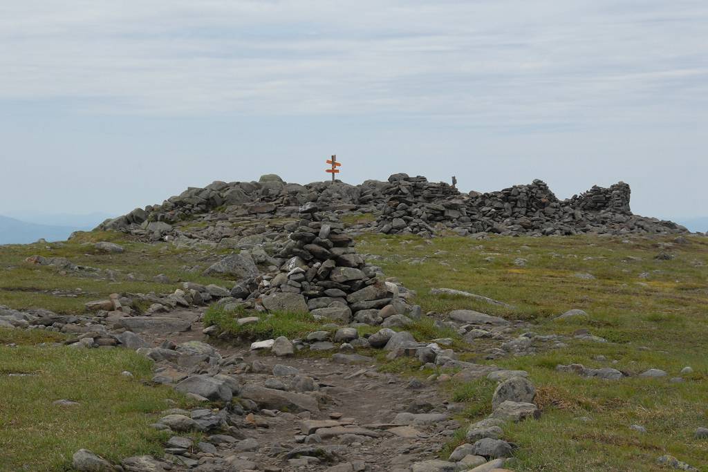
I passed the junction with the Benton Trail just a little before 10am and shortly after that I was above the tree line and on the final approach to the Mount Moosilauke summit.
|
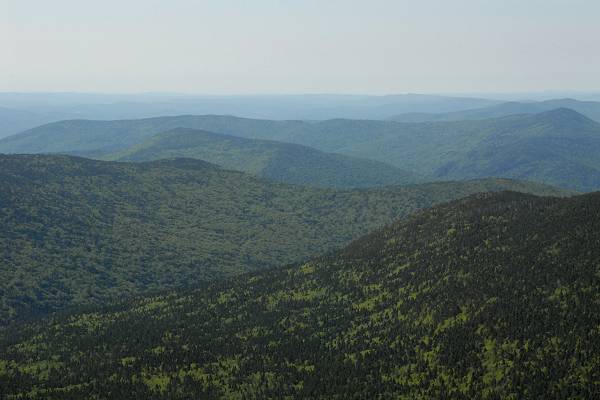
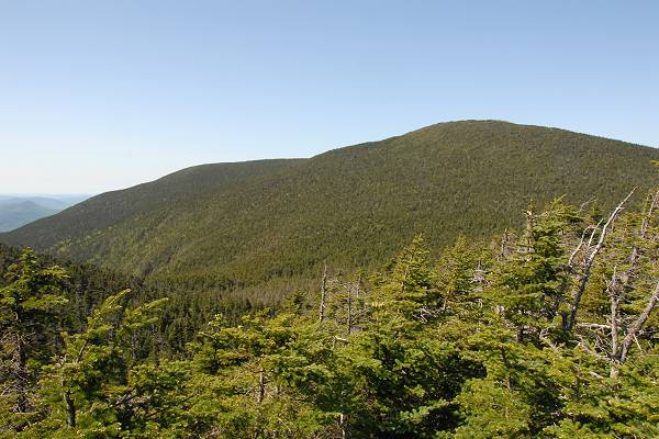
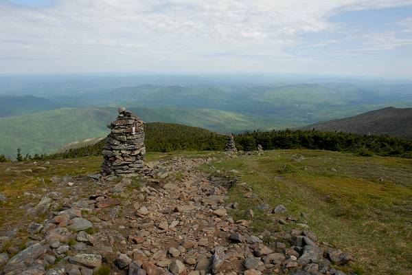
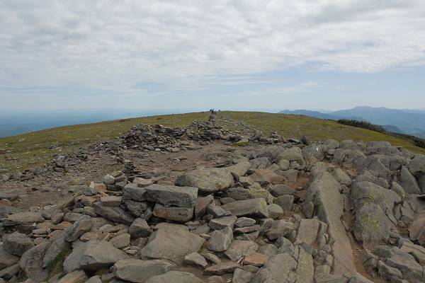
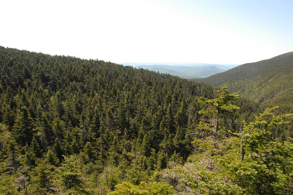
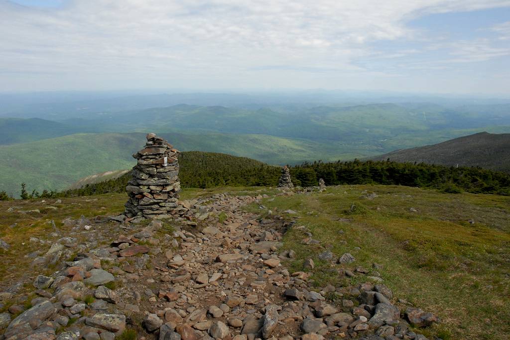
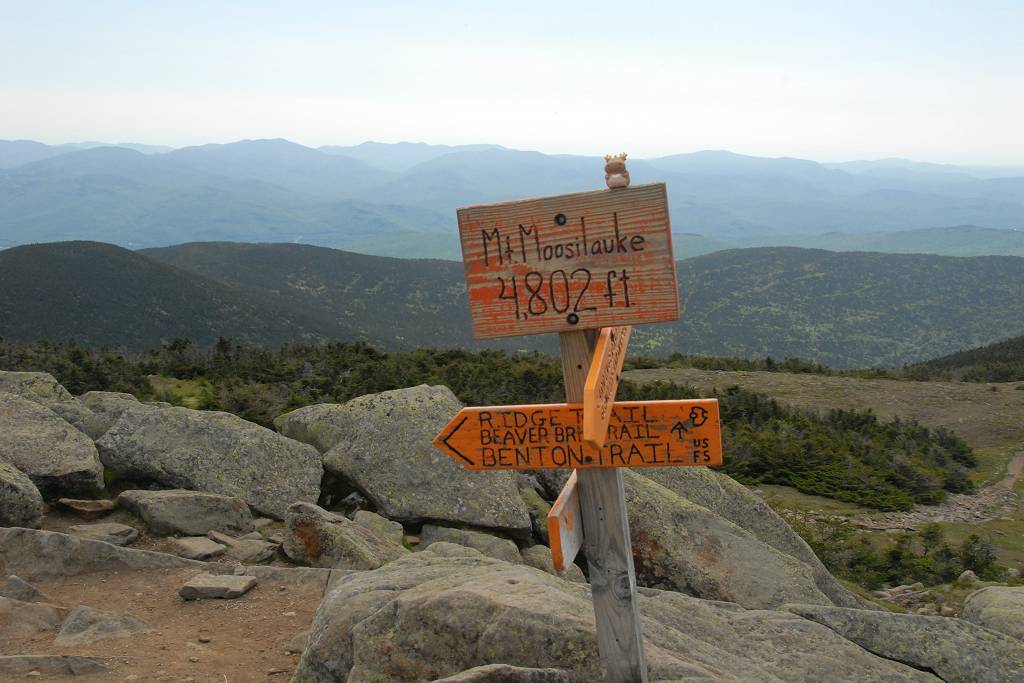
I noticed lots of clouds to the west of the summit as I was getting closer to the top and those started to roll in just about the time I got to the top. I arrived at the summit just a little after 10am and it was very buggy up there so I did not linger too long. I snapped some photos and then headed back down to one of the nice overlooks I had passed on the way up to have an early lunch.
|
There were lots of clouds for the afternoon but still some sunshine. Since I was making such good time I stopped a lot more on the way down to take photos of the waterfalls and cascades. I even made the side excursion to the Beaver Brook shelter.
|
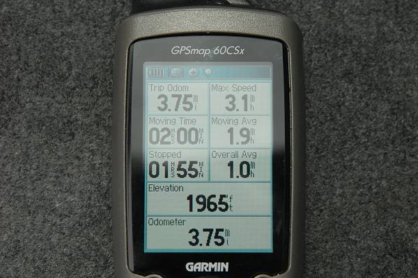
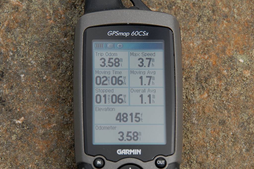
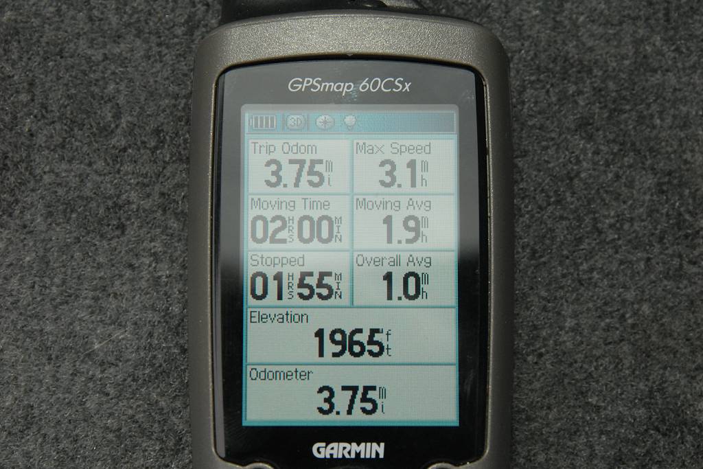
The hiking time up and down was only about 2 hours each way but I spent about an hour on the way up stopping to take photos and two hours on the way down so the total time for the hike was about 7 hours.
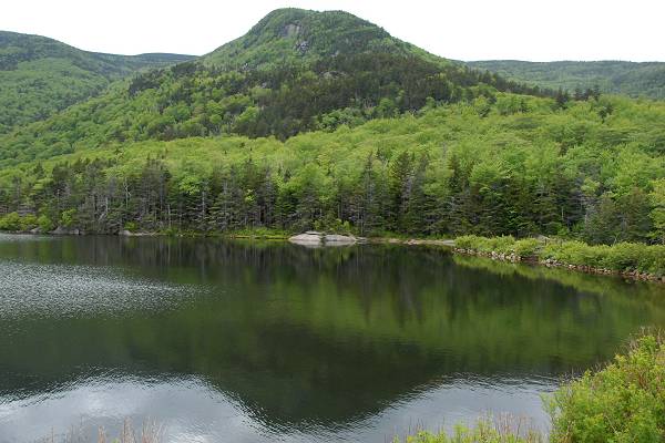
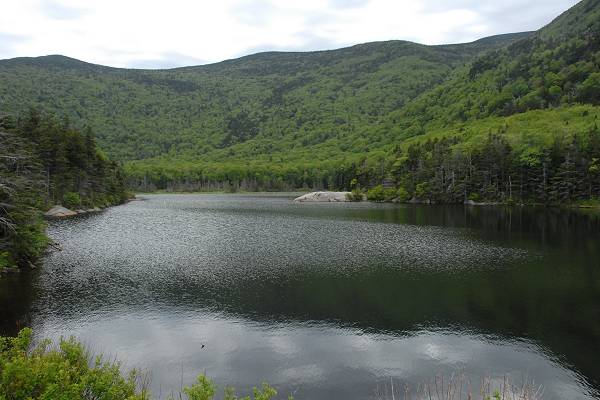
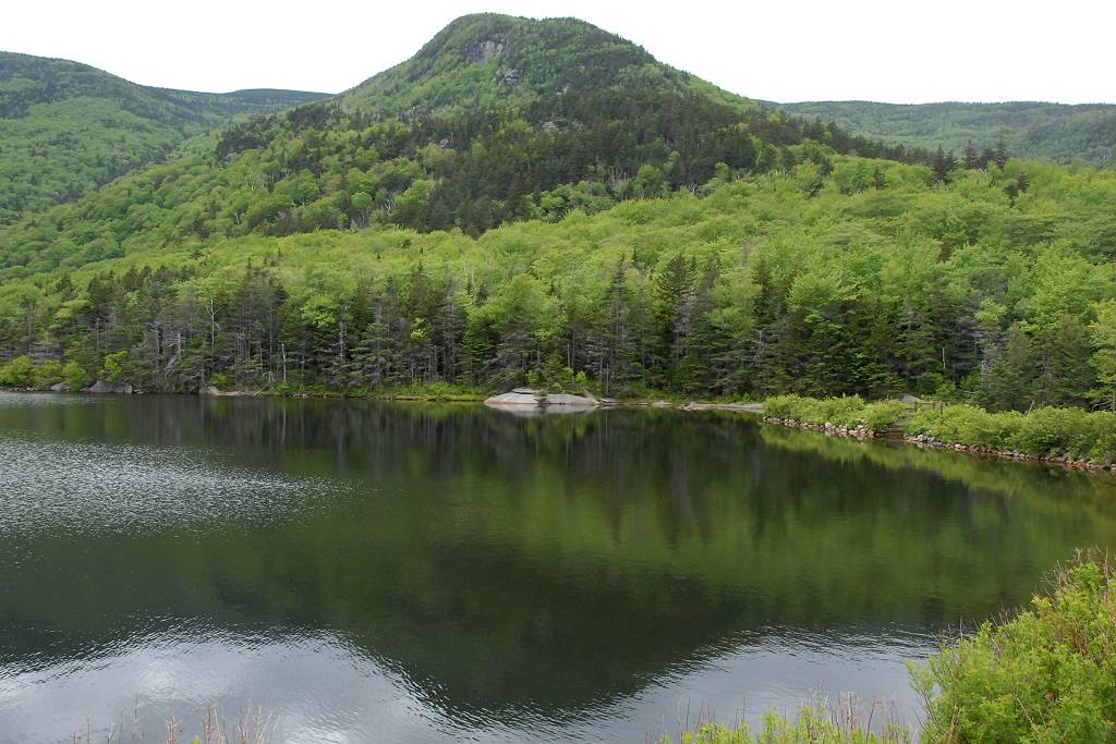
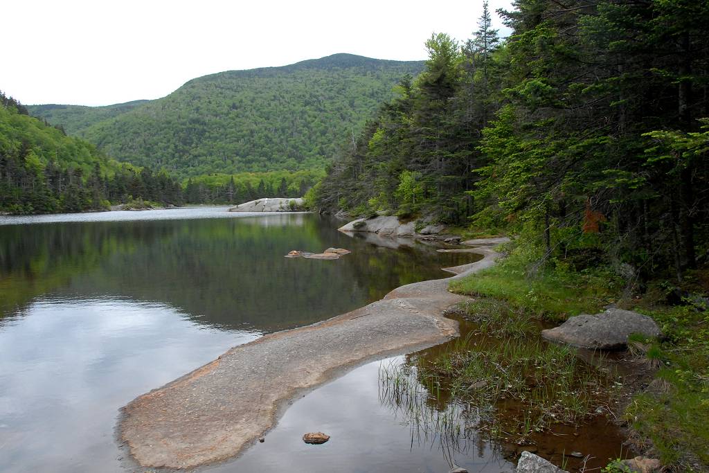
I arrived back at my car just a little after 2pm and drive over to Beaver Pond to snap a few photos there before starting the drive home.
|
|
|
|---|
|
|---|


