|
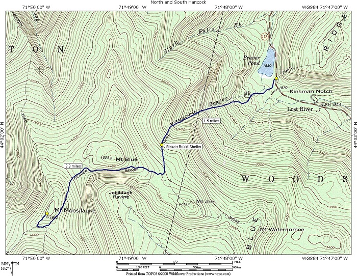
Mount Moosilauke via the Beaver Brook Trail |
|---|
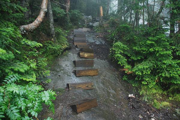
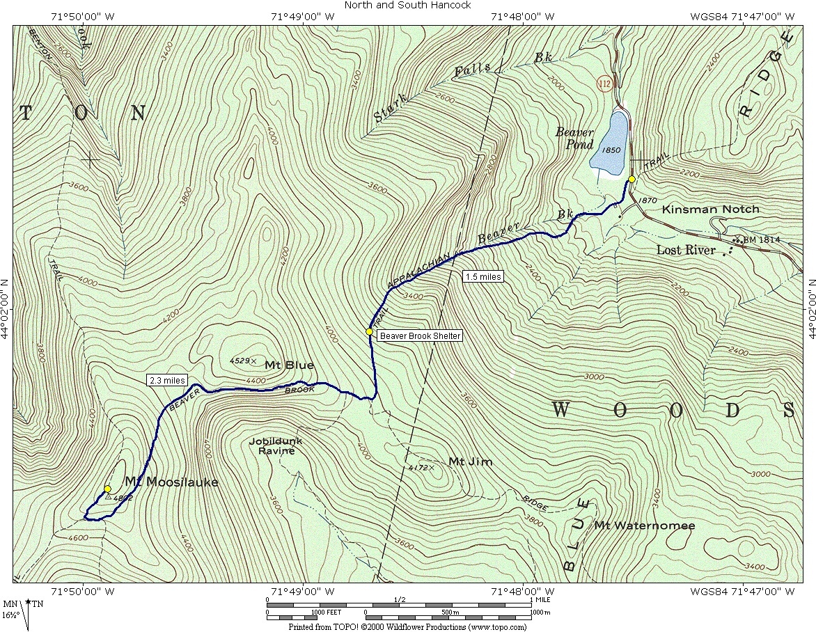
This day hike involved going up the Beaver Brook Trail to Mount Moosilauke and and returning via the same route.
|
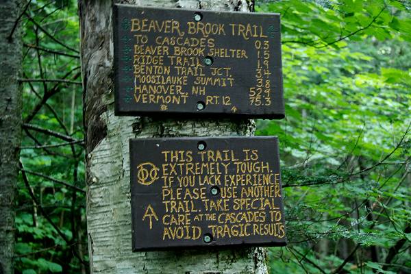
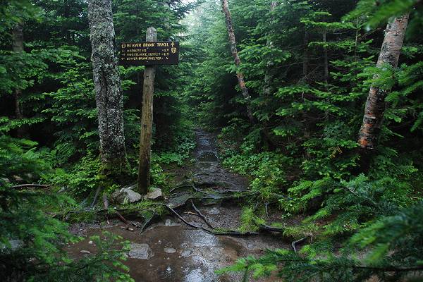
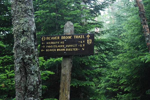
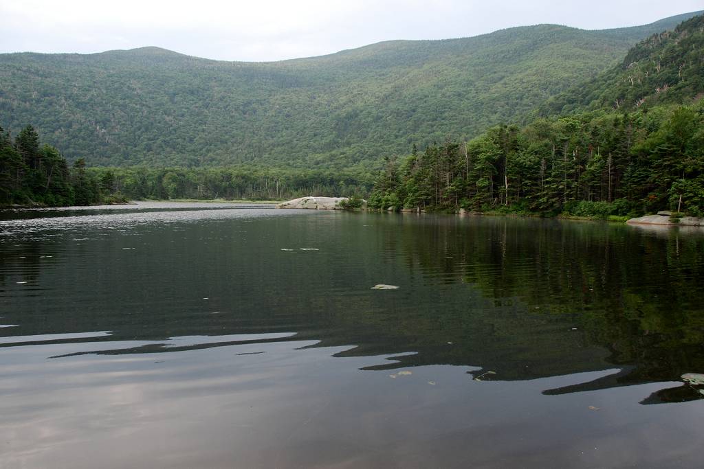
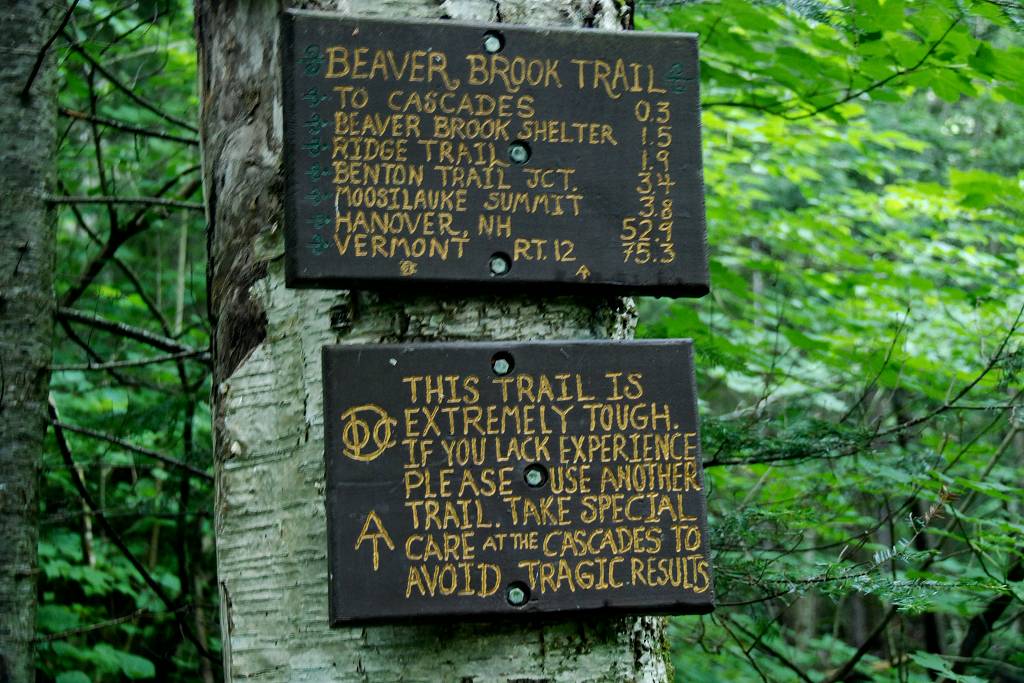
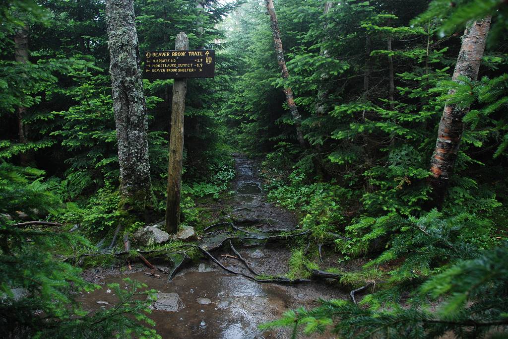
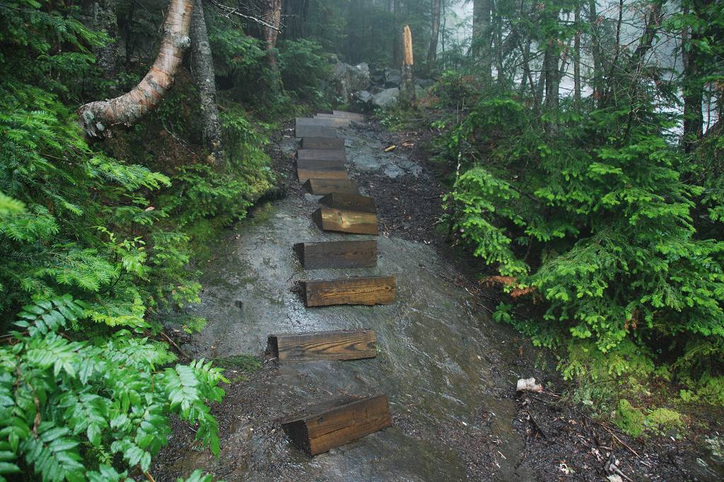
The starting point for this hike was the parking lot for the Beaver Brook Trail in Kinsman Notch.
|
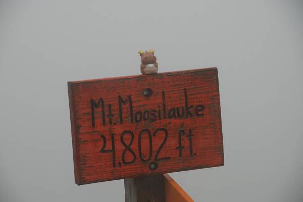
The hike up to the summit of Mount Moosilauke today was so-so. It started off ok but by the time I got up to the Beaver Brook shelter it was starting to rain. As I rested there the rain just got heavier and heavier and I was thinking about bailing out on the attempt. I had already got through the hard part of the ascent though so when the rain let up a little I decided to make the attempt. I heard a few rumbles of thunder while I was climbing and that almost had me ready to turn around as well. But I was not above the tree line yet so I pressed on. When I finally reached the tree line and could see the summit nothing was going to stop me but I never heard any thunder up there anyway. It was quite chilly up there though, probably only in the upper 40s, and there was hail mixed in with the rain. I took a few photos to prove I made it and headed back down to the shelter for lunch.
|
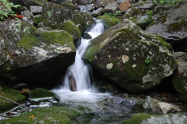
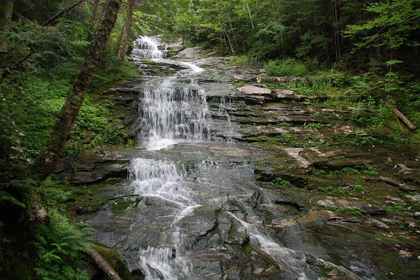
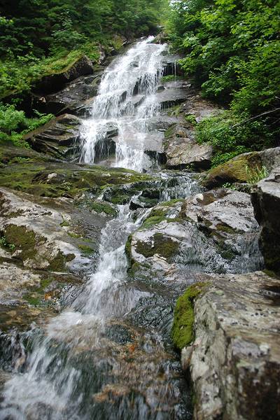
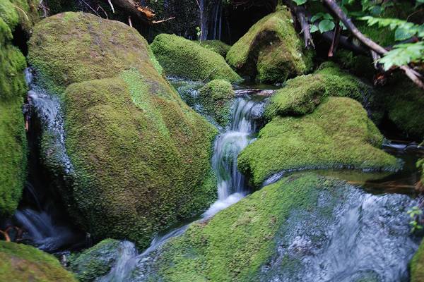
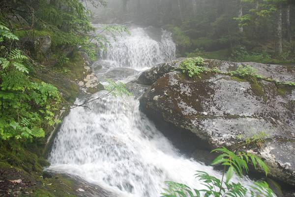
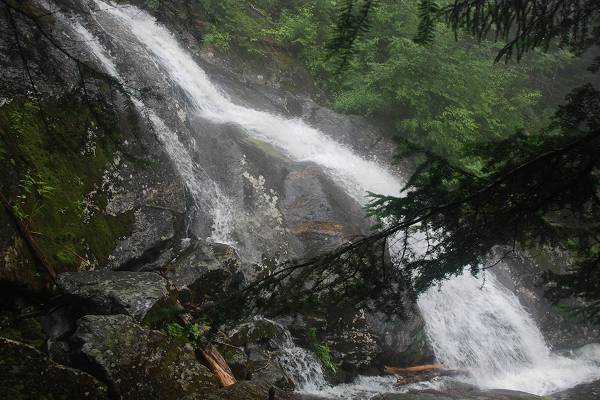
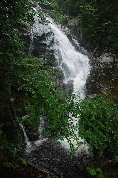
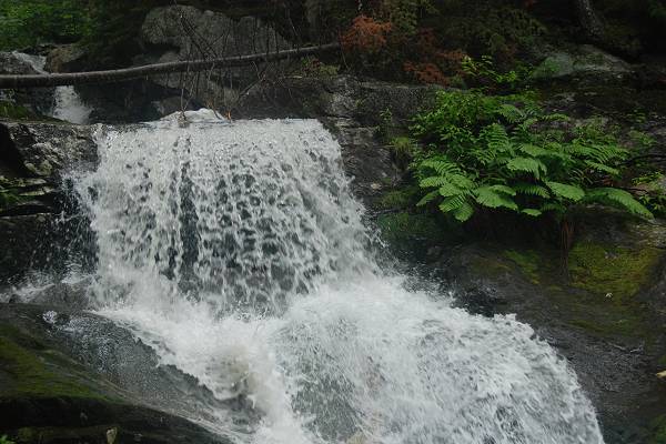
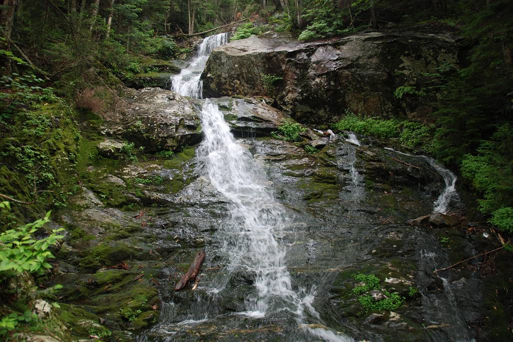
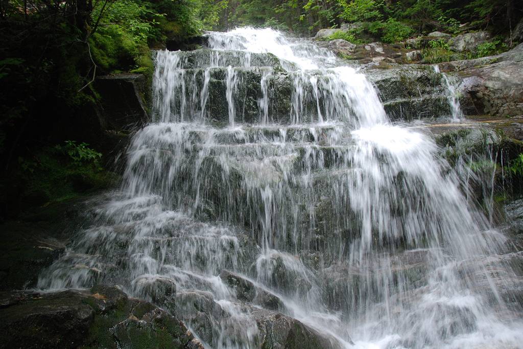
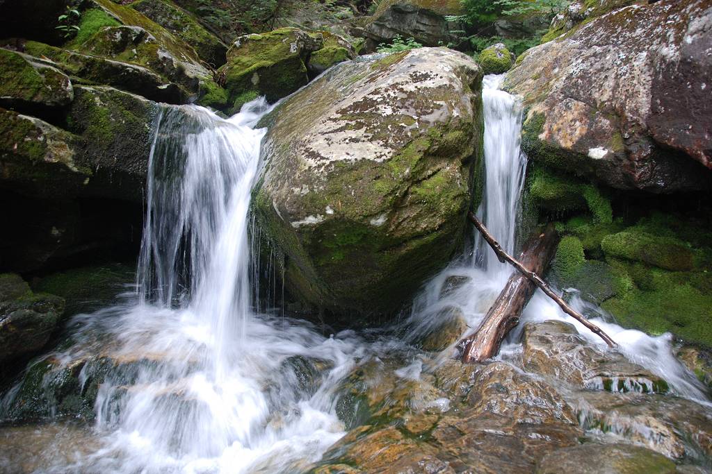
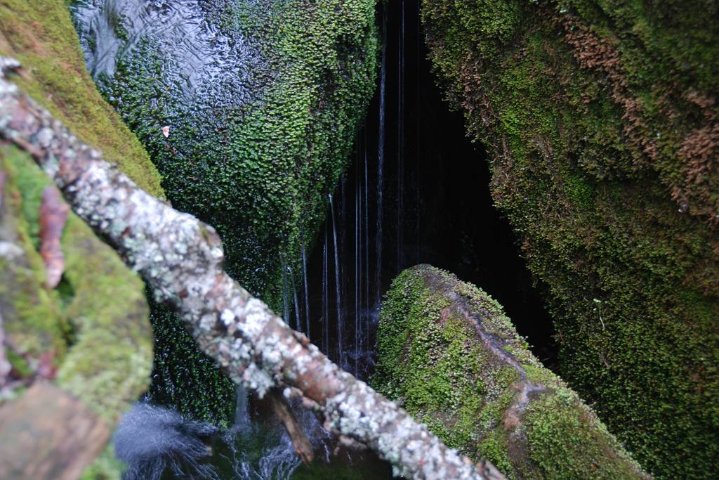
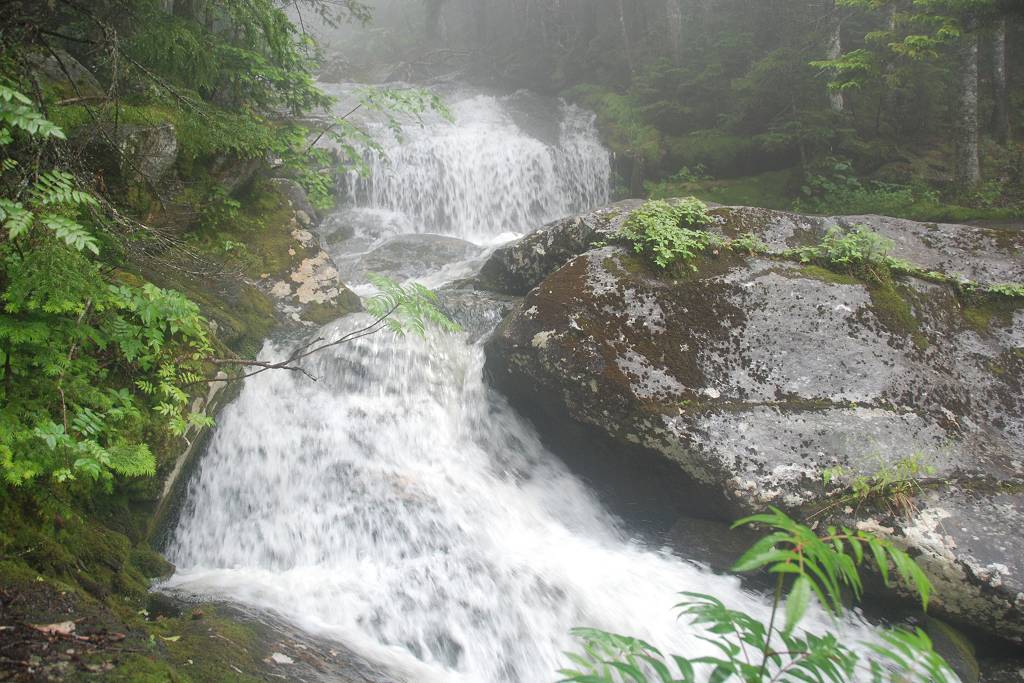
There was just a torrent of water coming down Beaver Brook and in some places the trail is very close to the large volume of very fast moving water so it was a little creepy.
|
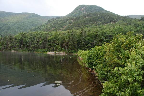
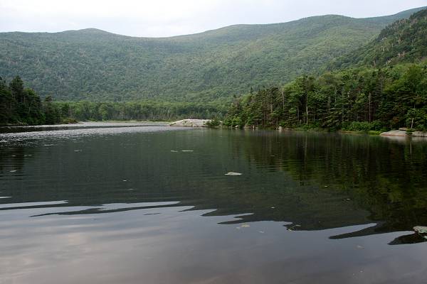
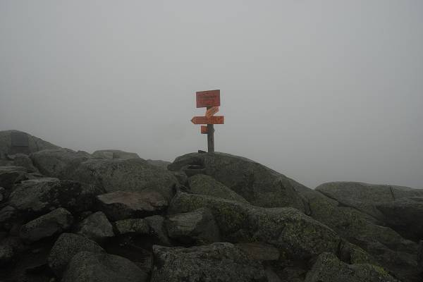
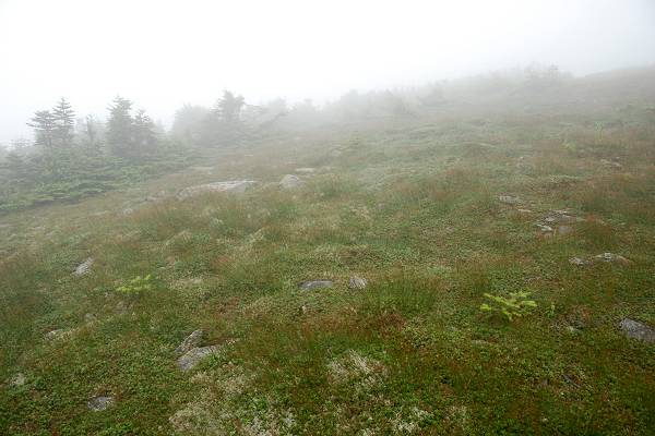
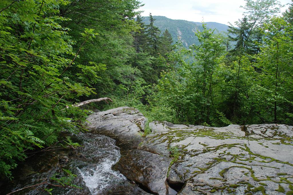
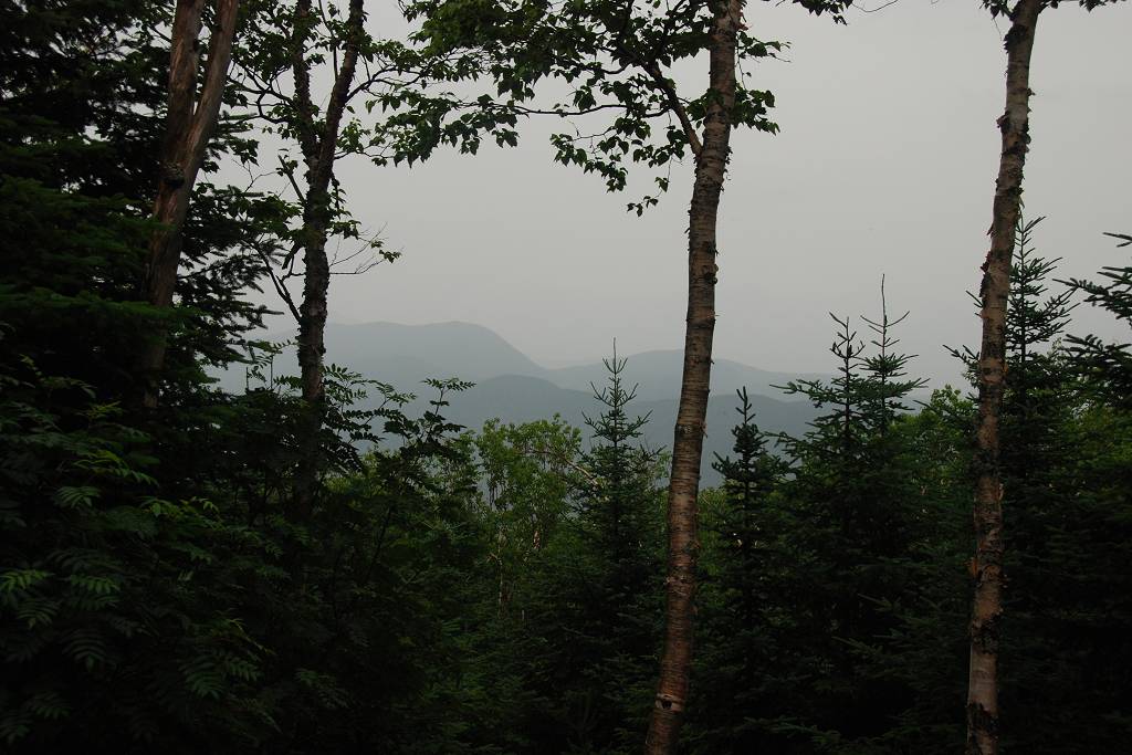
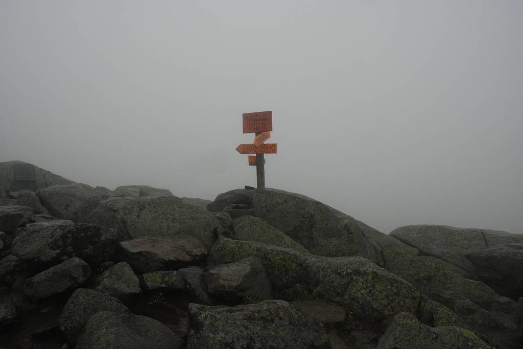
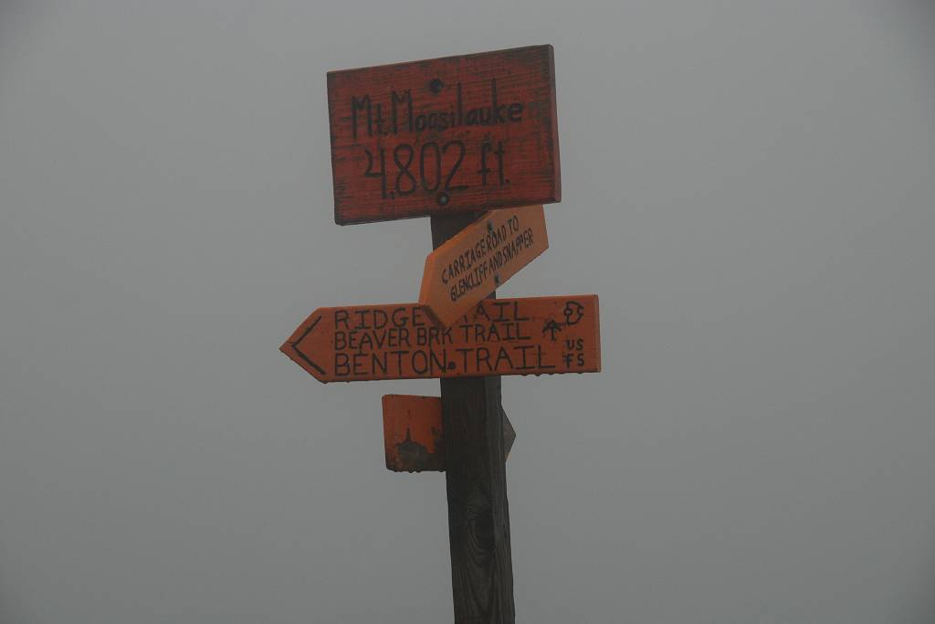
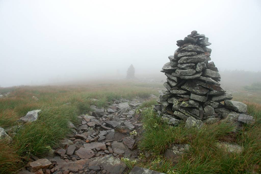
At the halfway point and then on top. There was nothing at all to see from the top though, just lots of clouds.
|
Cloudy, foggy summit photos.
|
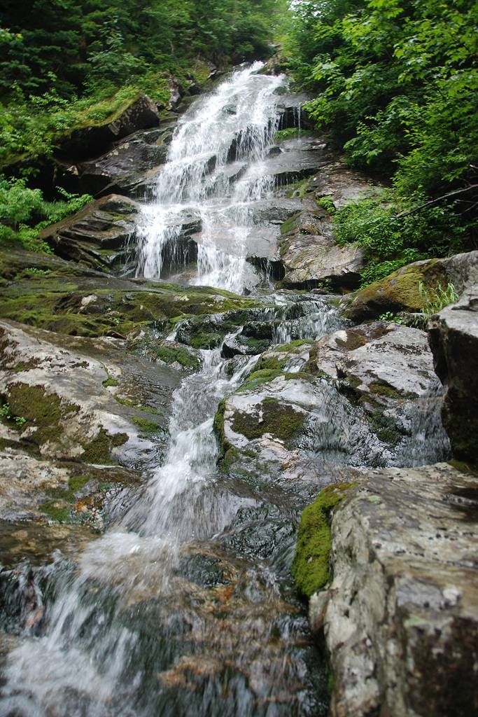
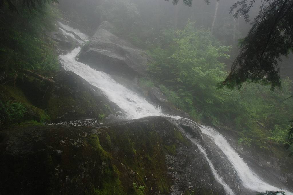
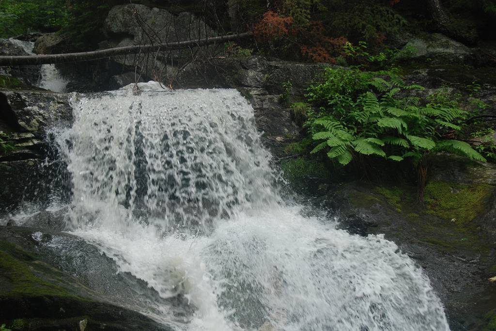
Lots more rushing water on the way down.
|
|
|
|---|
|
|---|


