|
Goose Eye Mountain day hike |
|---|
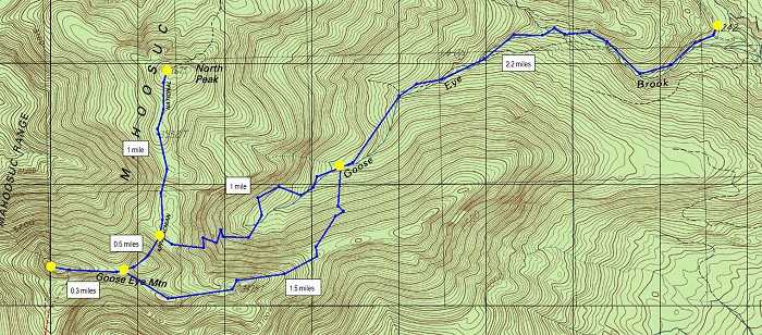
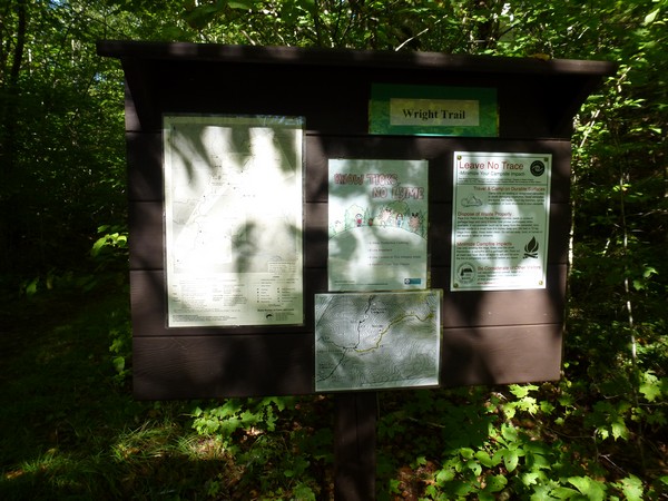
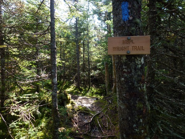
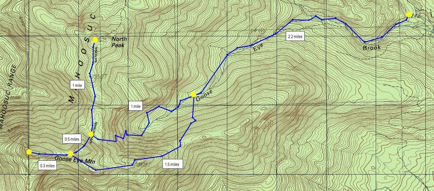
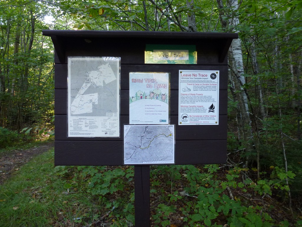
This day hike started at the parking area for the Wright Trail on the Bull Branch Road in the Mahoosuc Ecological Reserve in Ketchum, Maine. The trailhead is located approximately 9 miles from US Route 2 via the Sunday River and Bull Branch Roads. The last mile or so of the Bull Branch Road is unpaved.
From the parking area I followed the Wright Trail to the tent site where it splits into its north and south sections. For the trip up I followed the northern section up to the ridge and then took the Appalachian Trail north along the ridge to North Peak. I retraced my steps south to Goose Eye Mountain's east peak and then finally continued along the Goose Eye Trail to the west peak, the high point of the hike. For the return trip I went back along the Goose Eye Trail to the southern route of the Wright Trail, followed that back to the tent site and then to the trailhead.
|
The starting point for this hike was parking area for the Wright Trail on the Bull Branch Road. This would be peak #58 on my New England Hundred Highest list. I started this hike just before 9:15 which was a bit of a late start for me.
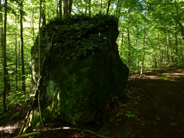
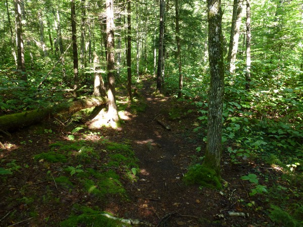
The first mile or so of this hike is on an old logging road that following along the north bank of Goose Eye Brook.
|
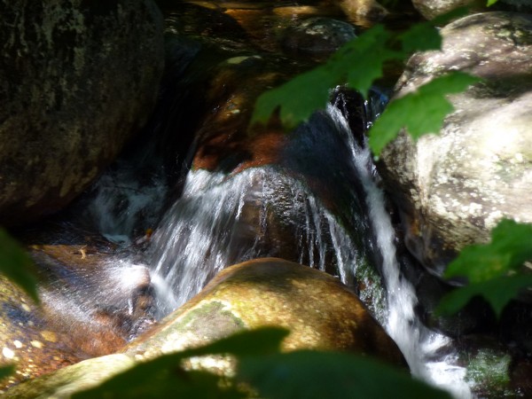
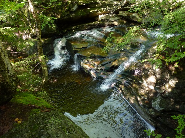
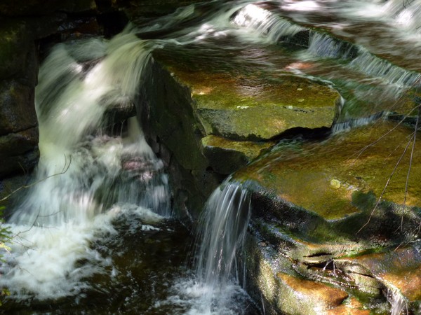
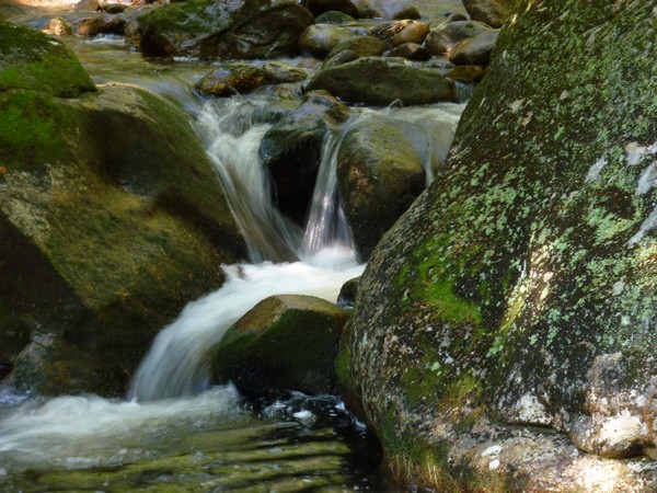
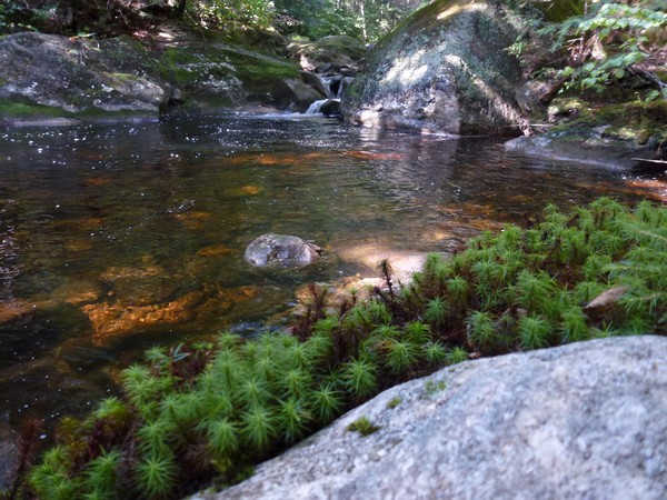
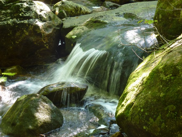
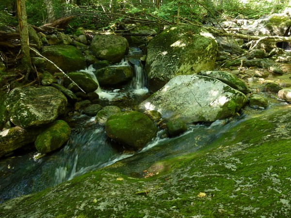
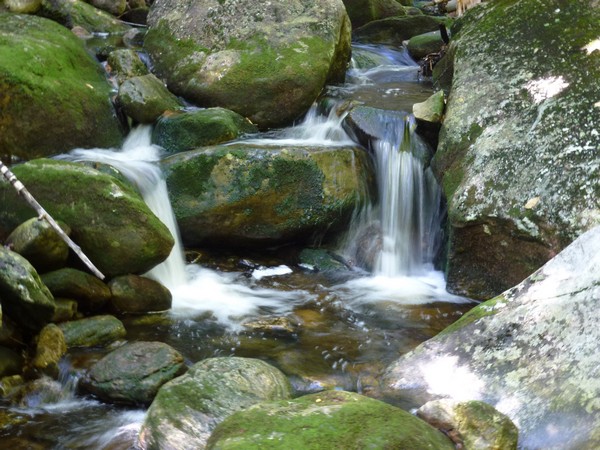
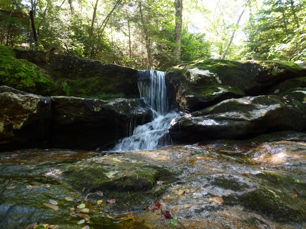
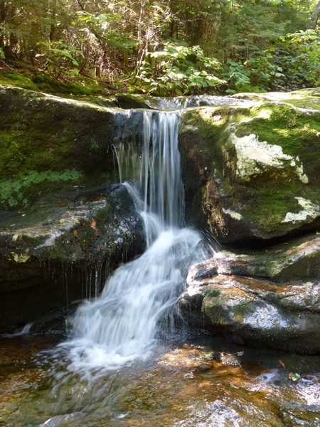
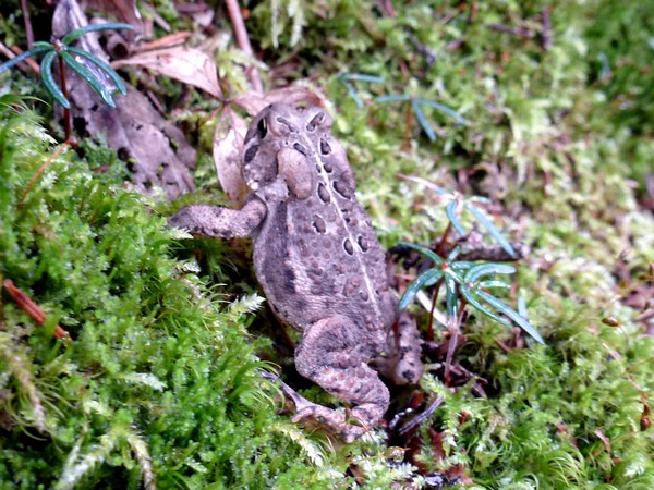
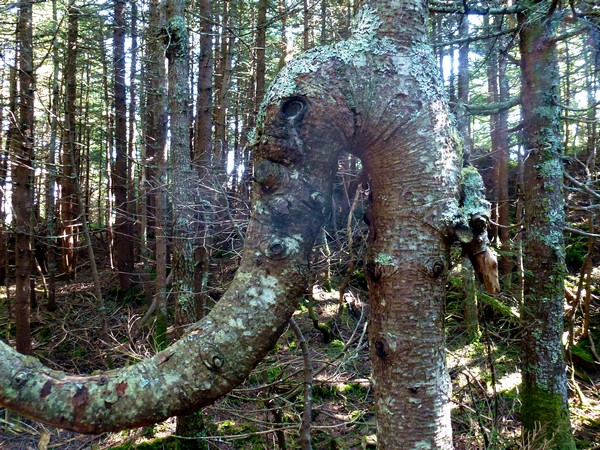
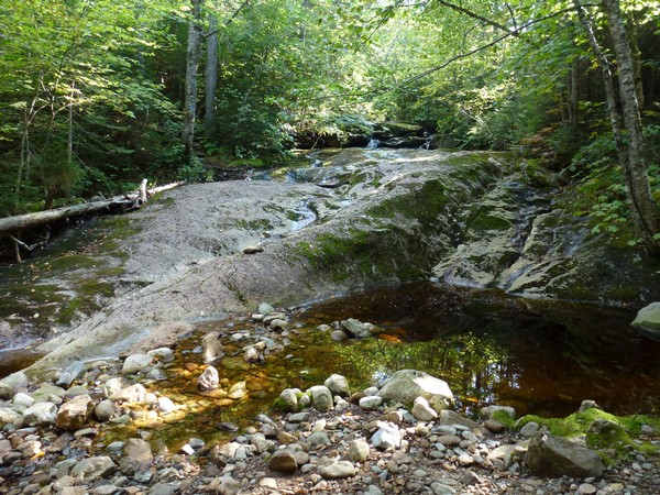
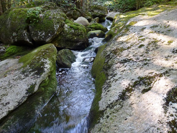
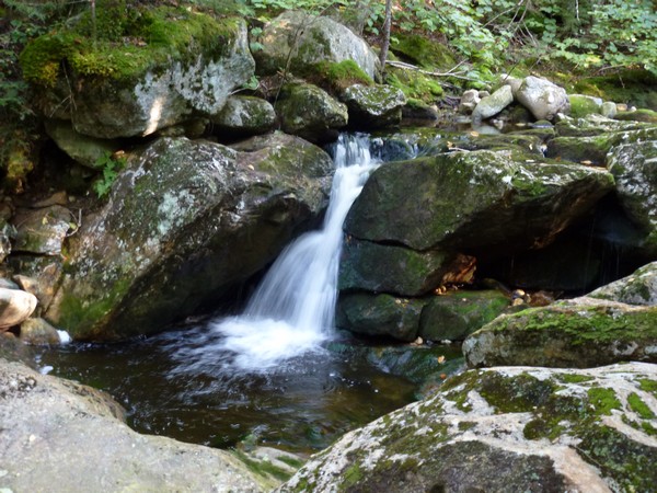
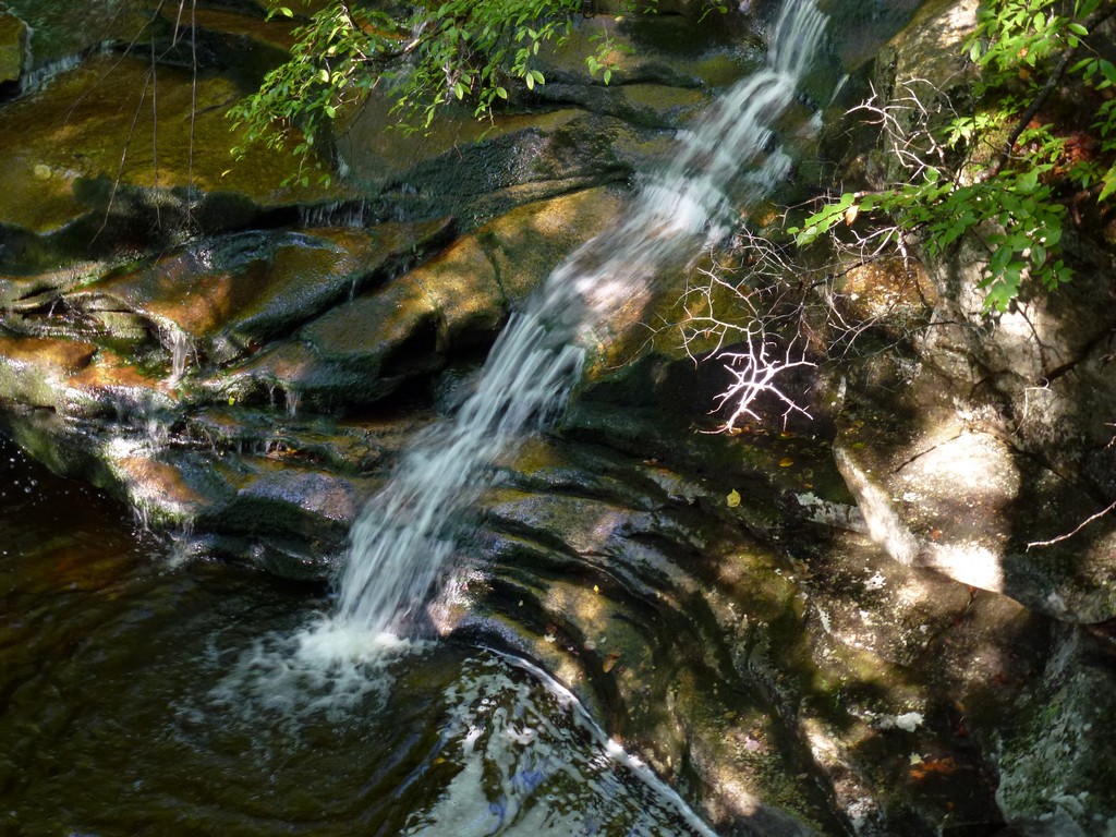
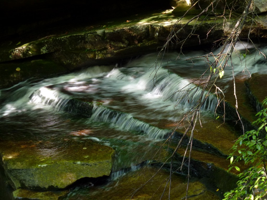
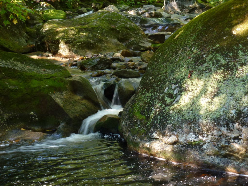
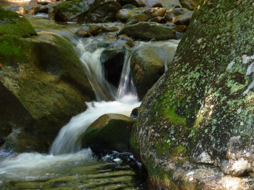
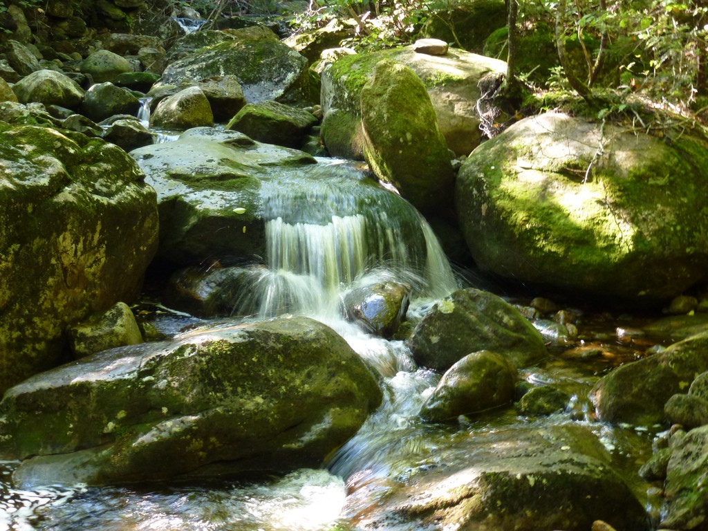
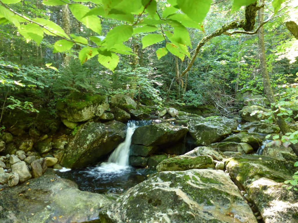
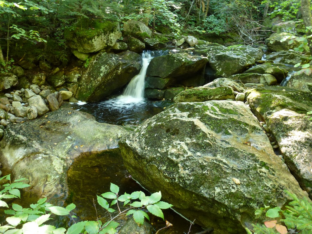
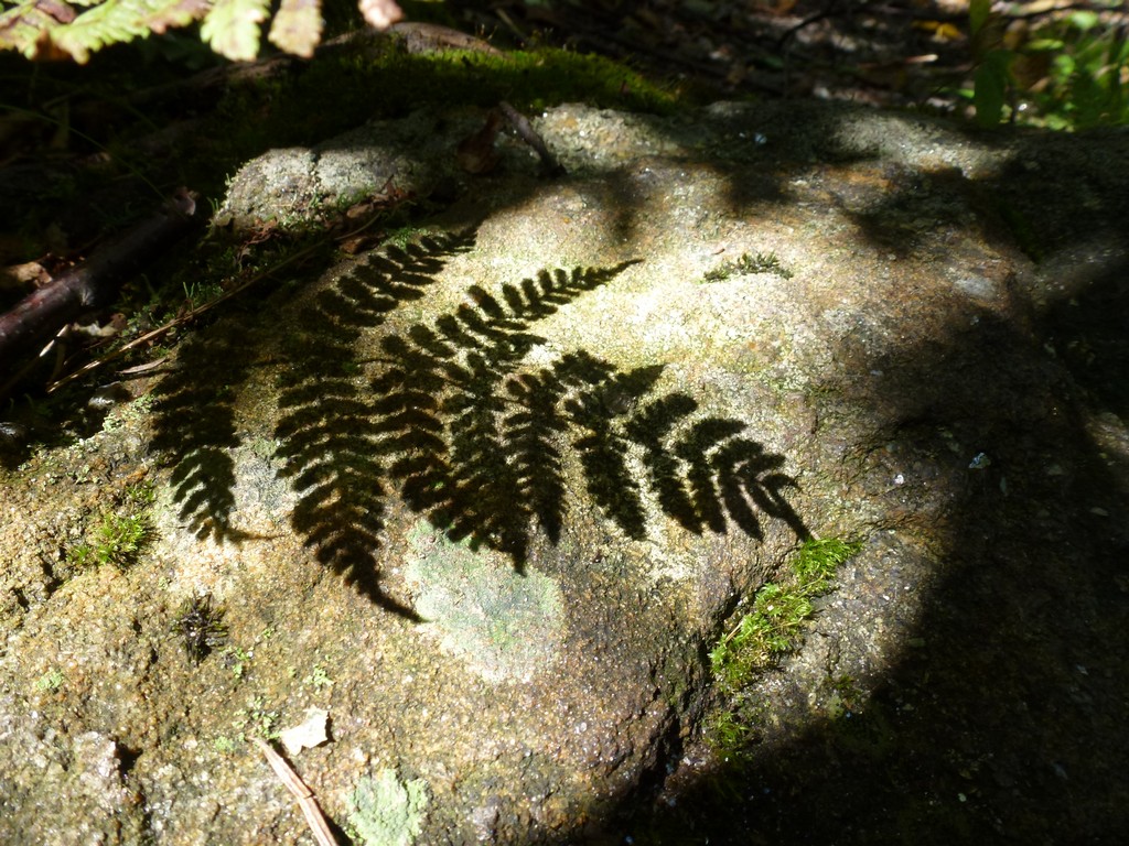
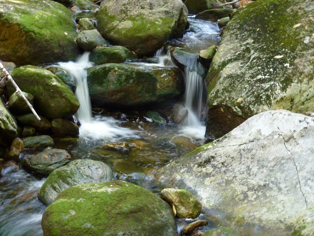
After a mile or so the trail left the logging road, which seems to continue ahead. I desended the north bank a little and made the first crossing of Goose Eye Brook. The trail follows Goose Eye Brook very closely and there were a few more crossings of the brook along the way to the tent site. There were numerous little pools, cascades and waterfalls along the way and listening to the sound of the brook was quite pleasant. None of the brook crossings were any challenge at all this late in the summer but I imagined that some of them could be difficult in the spring time or during or right after a rain storm.
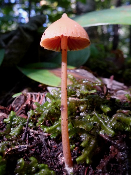
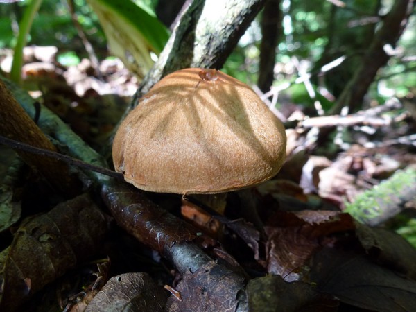
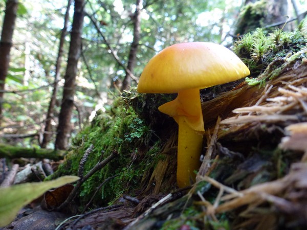
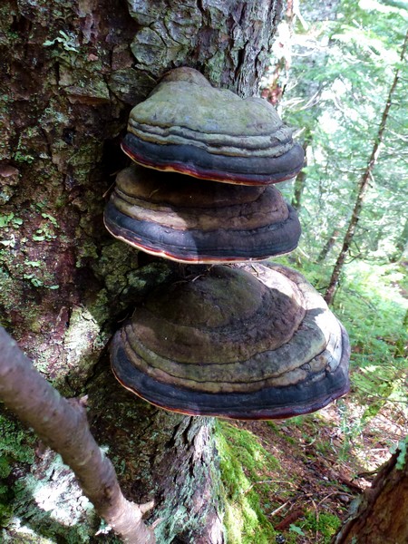
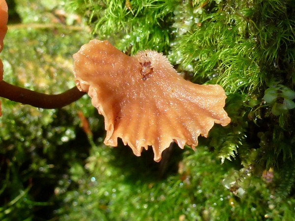
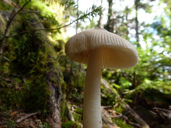
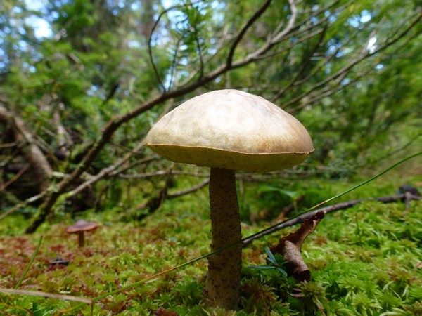
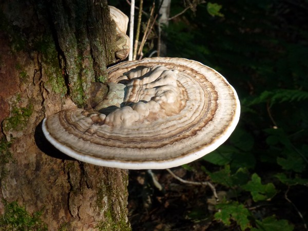
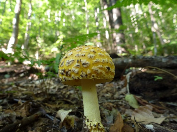
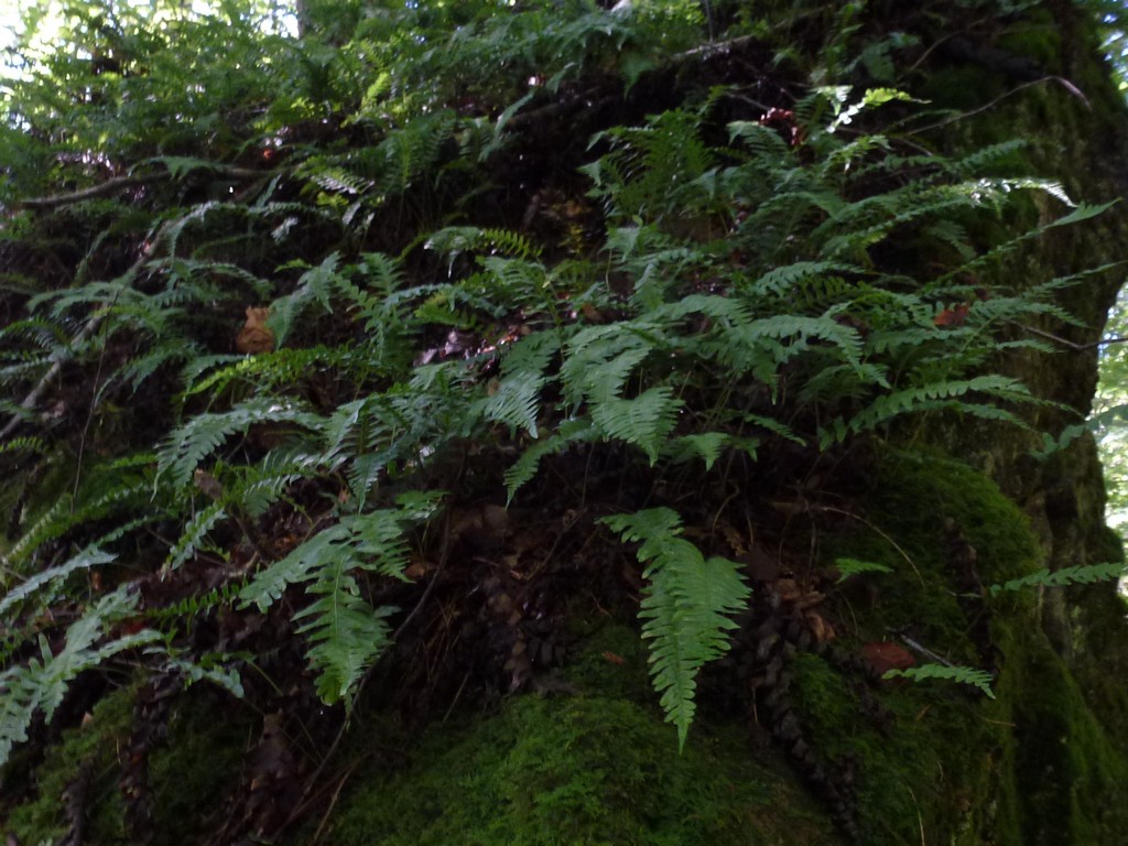
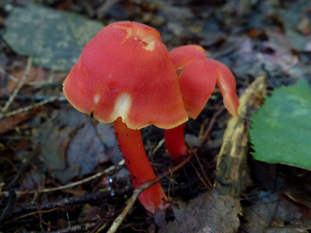
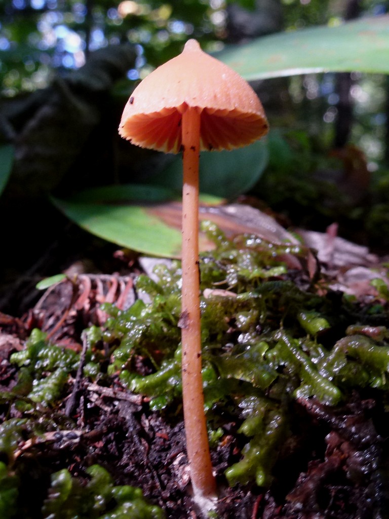
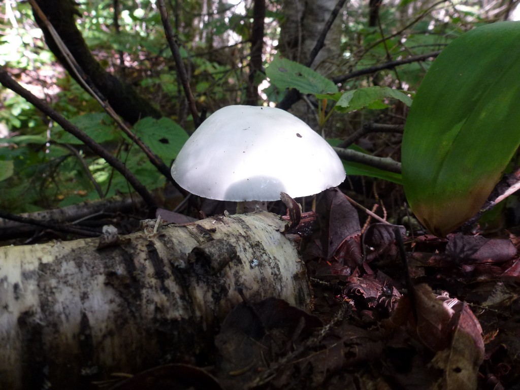
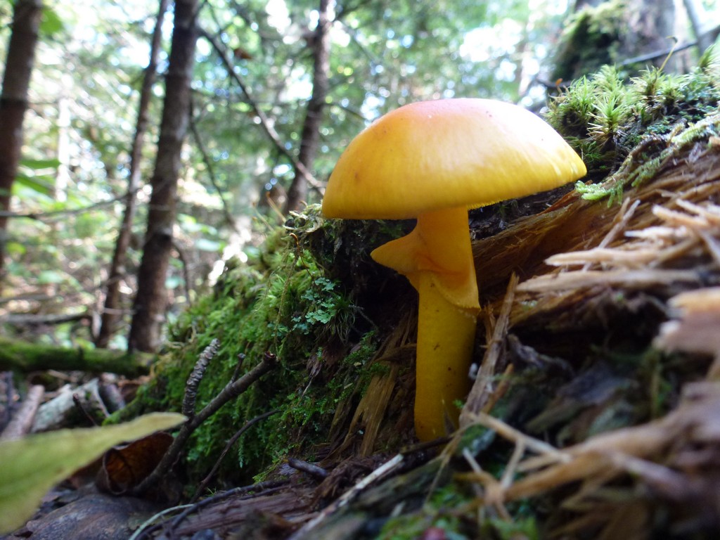
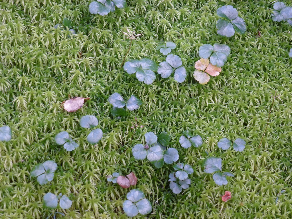
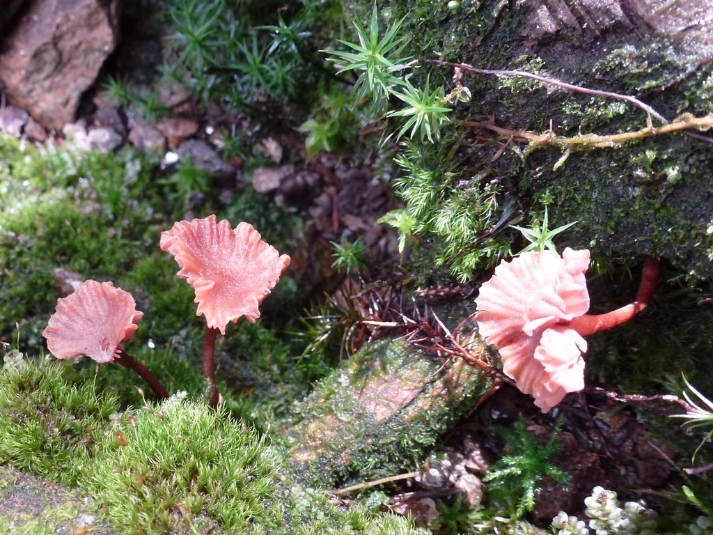
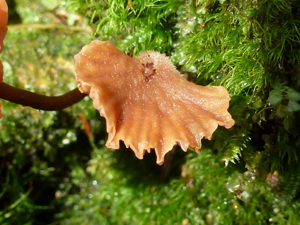
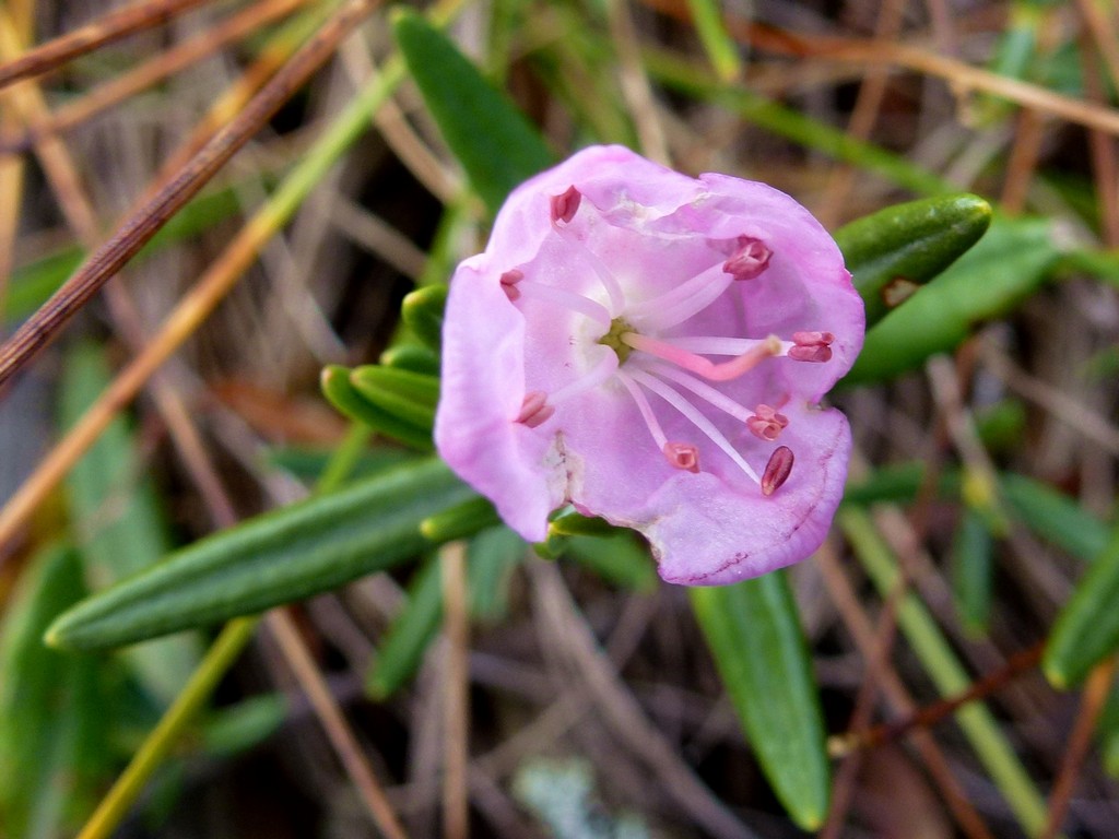
There were also still lots of mushrooms around, though not quite as many as on the previous two hikes of Baldpate and Old Speck Mountains up in Grafton Notch.
|
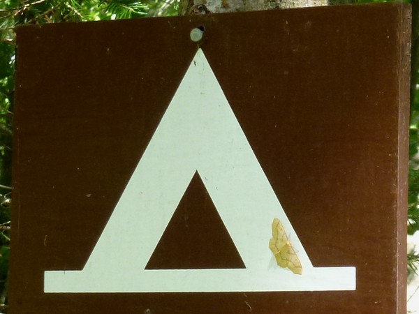
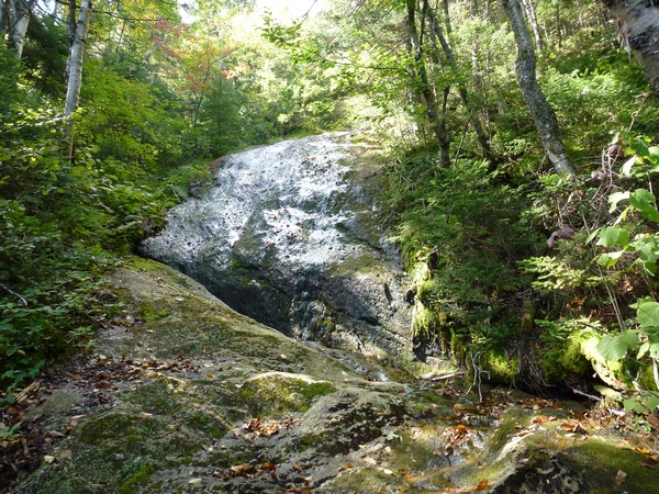
The hiking was pretty easy going up to the tent site and it only took a little less than an hour and a half to get there. I stopped for a short rest and munched on a granola bar while contemplating the brook and the slick rock cascasde near the camping area.
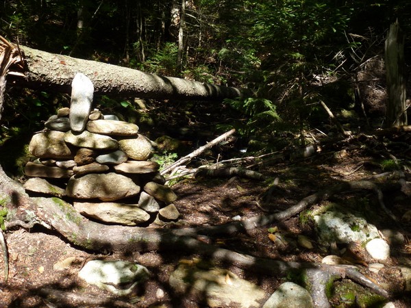
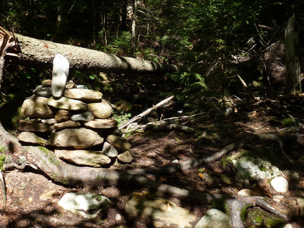
I hadn't planned on taking the northern branch of the Wright Trail because descriptons I had read on-line said that it was in terrible condition and technically closed. I could see a trail blaze on the other side of the brook indicating the southern branch of the trail but on the north side there was just a large cairn which I assumed marked the split. After scouting around a little I found where the northern branch went and also found a long piece of tape on the ground. On the other side of the tape the words "Trail Closed" were written. Since the tape was not across the trail and simply laying on the ground with the words not even visible was the trail still officially closed? Did someone take down the tape or had it simply come lose on its own? I was up for a little bit of adveture anyway so I decided to give the northern branch a go.
|
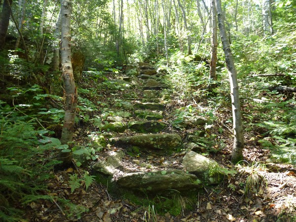
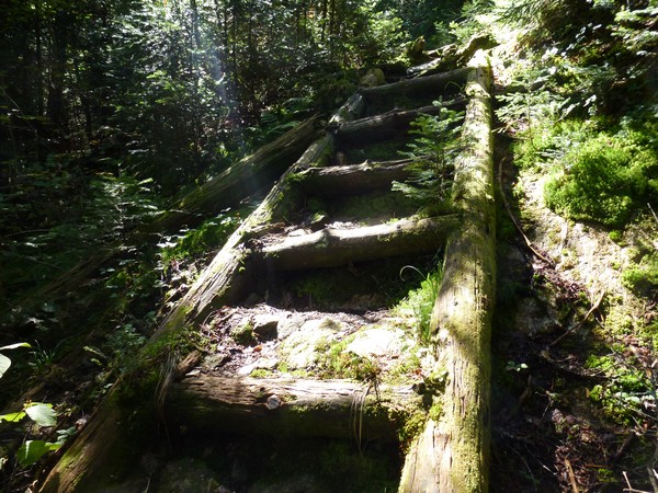
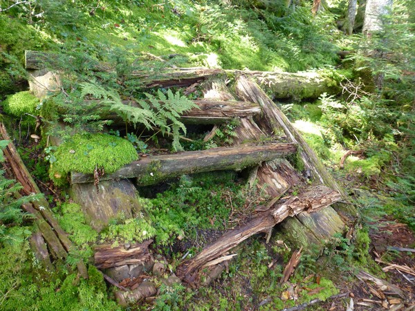
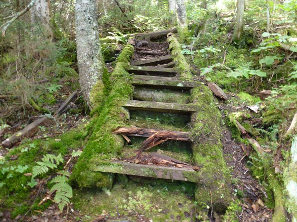
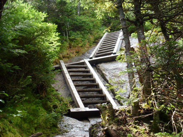
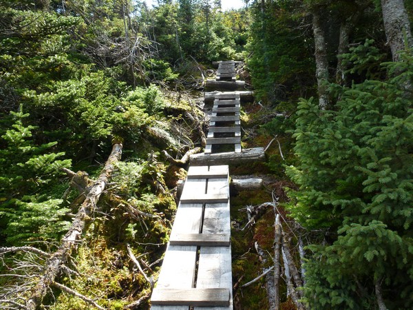
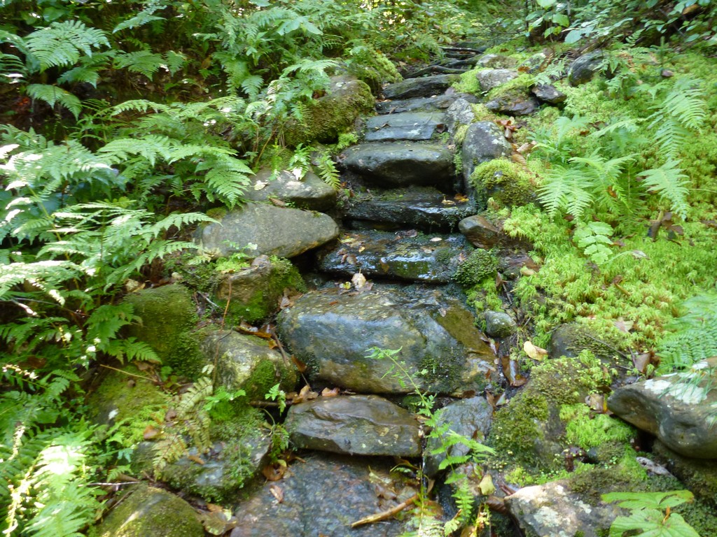
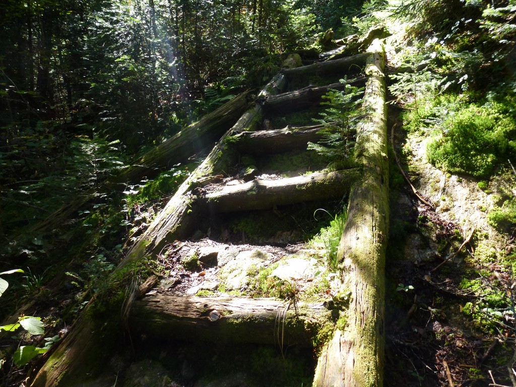
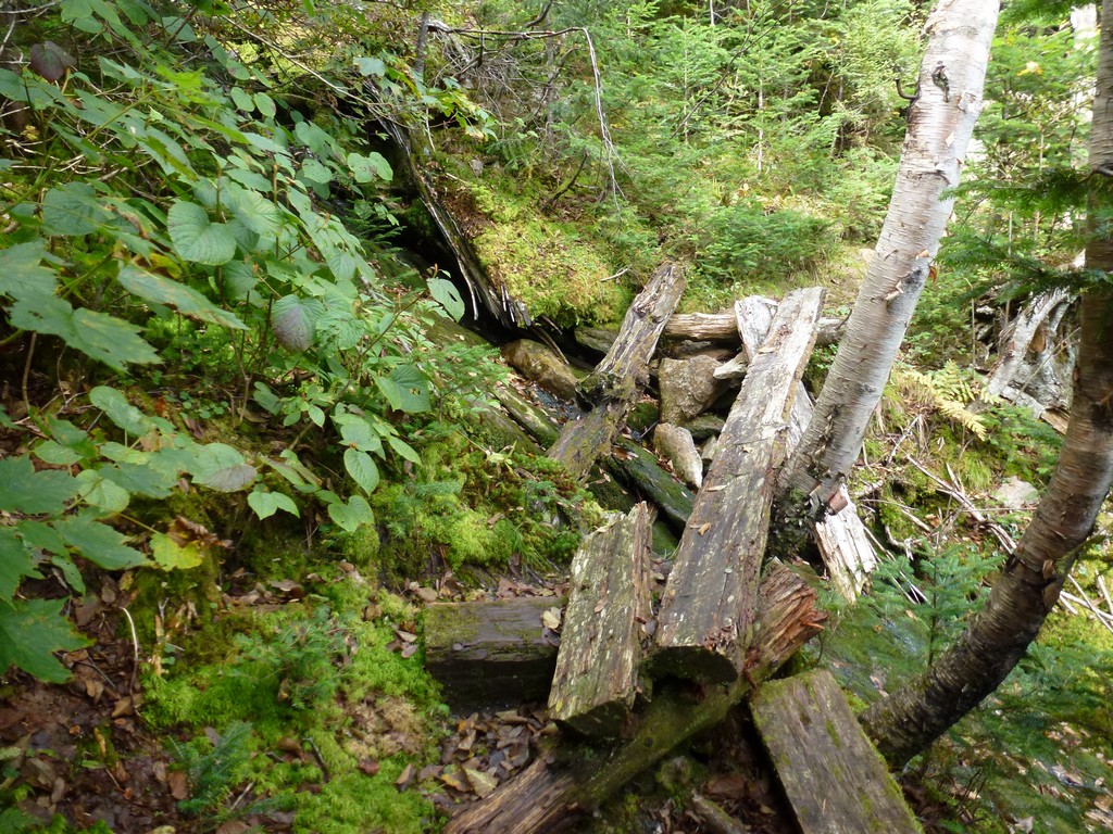
There were numerous signs of trail construction along the way, some of which was in pretty bad condition and in need of repair. It must have been a wonderful trail at one time when all of the steps and bridges were in good condition but now some of it was a bit of a challenge.
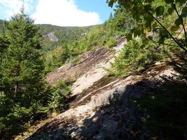
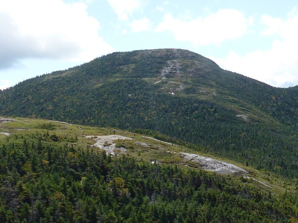
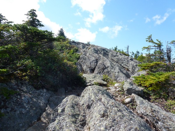
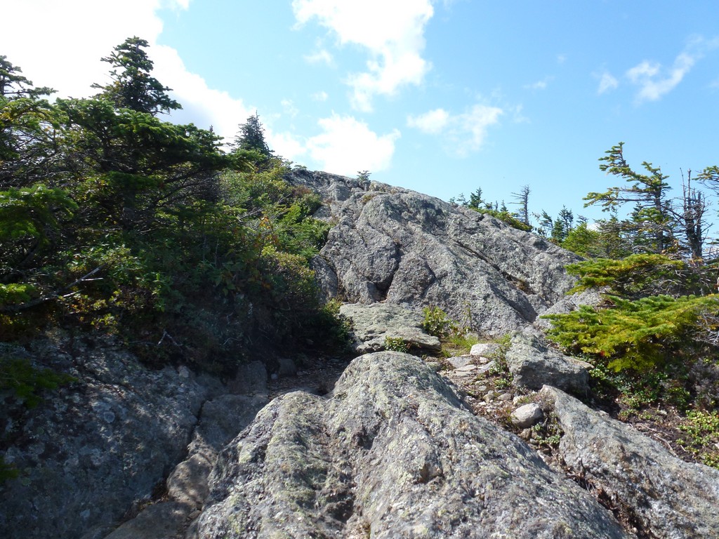
After hiking for about 20 minutes beyond the camping area the trail came out to some very impressive ledges that were tilted to almost a 45° angle. It wasn't obvious where the trail went at that point and from what I had read on-line some scary ledge crossings were a part of it. I started out across the ledges looking for any sign of others passing but I did not see anything. I did not go very far before heading back to the safety of the forest, this was just nuts. I looked up thinking maybe it was easier to go up and around but that did not look like fun. Going down did not seem like much of an option either as there was just a dark gorge below the ledges. I was almost ready to turn around and go back to the camping area and use the southern branch of the trail since I really had not come that far yet. Something made me look again though. I pushed my way through some brush a little below the ledges and could make out a faint trail continuing down into and along the gorge. I couldn't tell if it was a real trail or just some kind of game track but it seemed passable so I decided to give it a try.
After a little while I started seeing signs of trail construction again which made me feel very good. It seemed like the higher I got the worse the condition of these stairs and bridges became. I caught up to and passed another hiker along this section who seemed to be having even more difficulty with it than I. We exchanged a few words but I continued on ahead of him and hoped he would be alright.
|
About a half of an hour up from the scary ledges I came to one bridge across a little ravine that almost made my heart stop. There was only one beam left of this bridge that was of any use in the crossing but it was slanted a little to one side and did not appear to be very firmly anchored at either end. It was too high up for my hiking poles to be of any use in reaching the ground below. The ravine itself was all moss-covered rock at a very steep angle so the "bridge" seemed the best option. I went across it slowly, one step at a time, and was very happy when I could grab on to the solid tree that was bracing the beam at the other end.
|
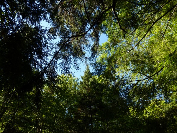
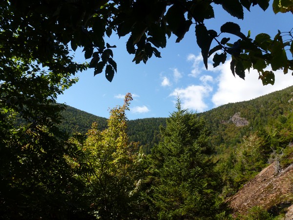
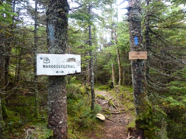
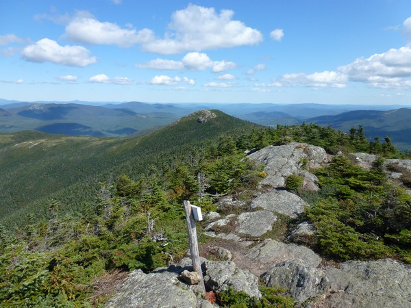
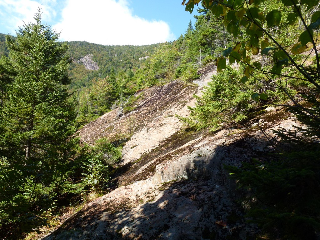
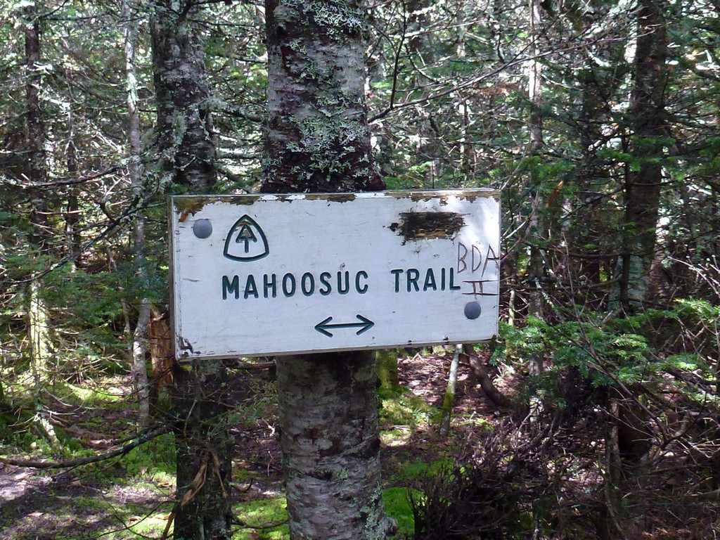
Shortly after that crossing I started getting some nice views of the ridge above and after about 15 minutes more I reached the junction with the Mahoosuc/Appalachian Trail. The hard part of the hike was probably behind me at this point and I was glad of it.
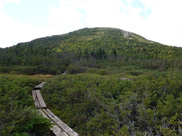
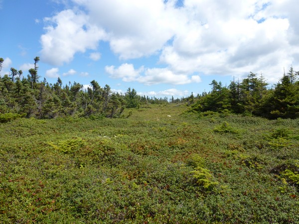
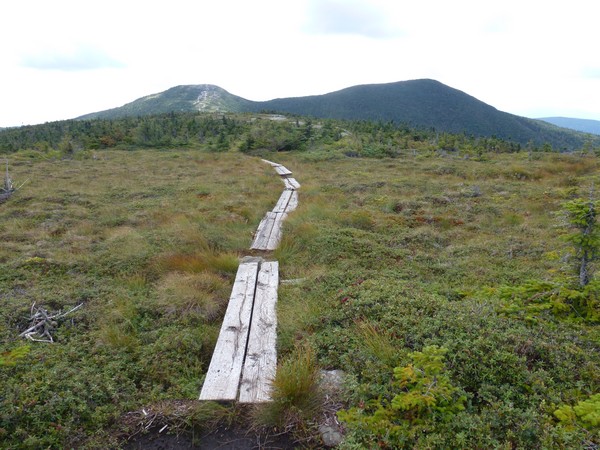
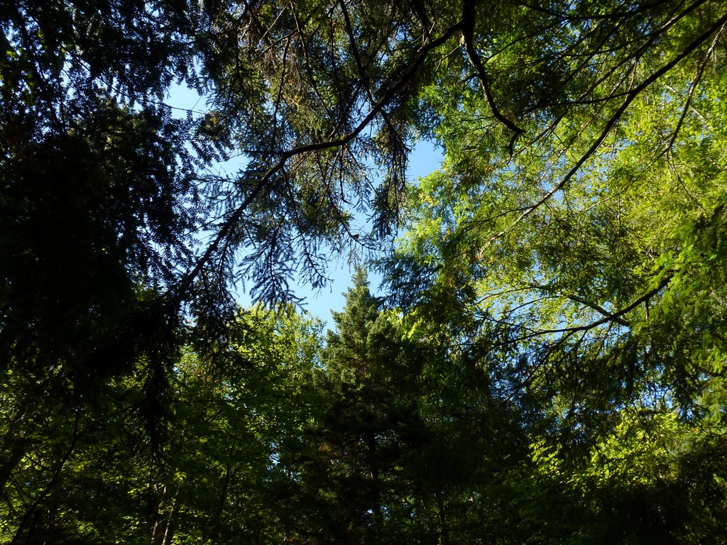
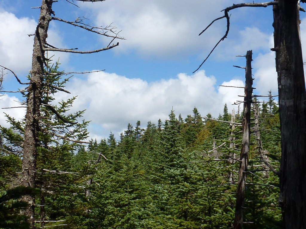
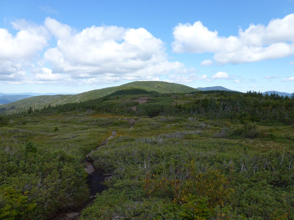
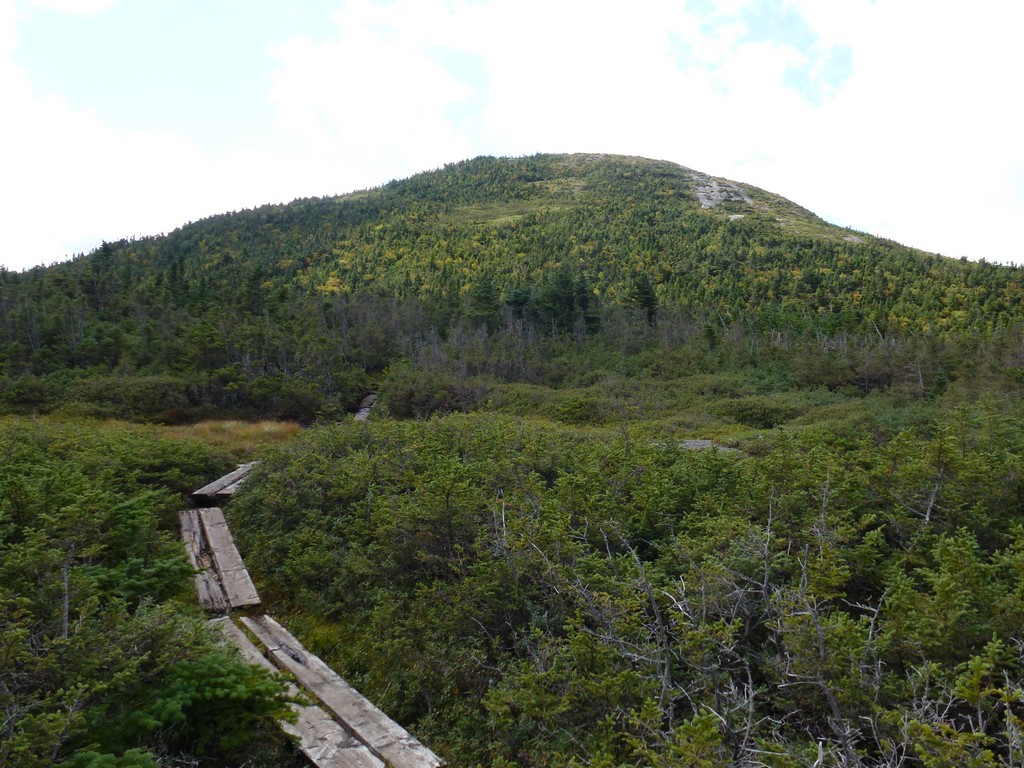
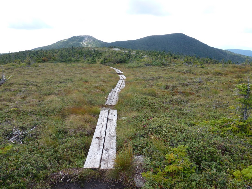
I headed north along the AT towards North Peak. It was not a high point or anything but I was up there anyway and I wanted to see it. The hiking along the ridge was also very nice and it reminded me a lot of the section between West Peak and East Peak on Baldpate Mountain. It was flat but very wet and very boggy amd some of the boardwalk was in pretty bad condition. One section was completely submerged and not seeing any easy way around I actually detoured a considerable way into the bog to get around it. On the way back I said screw it and just used the submerged section as it was and luckly it did not submerge any further with me on it.
It took about a half of an hour to cross the mile or so to North Peak. I took a short break there and are another graola bar before starting back. It was already past noon but I wanted to save my sandwiches for the high peak of Goose Eye and that was still a ways away.
|
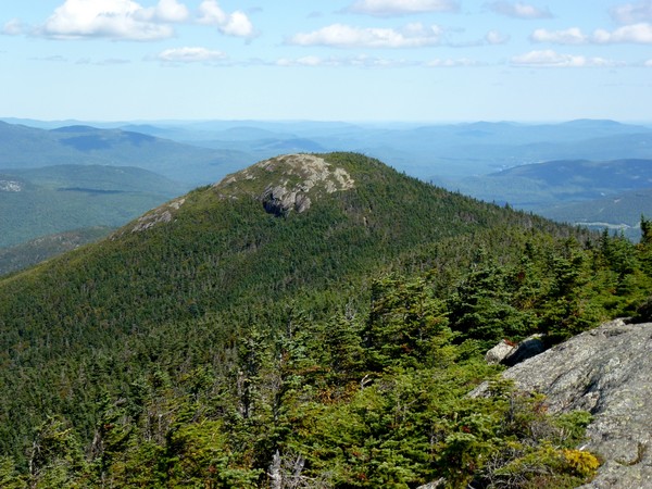
I headed back across the boggy section, to the trail junction, and then started to climb the east peak of Goose Eye Mountain. There were lots of bridges, steps and ladders there to help and they were much appreciated because climbing up this thing without them would have been quite difficult. As luck would have it all of this trail construction was still in pretty good shape too.
|
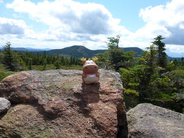
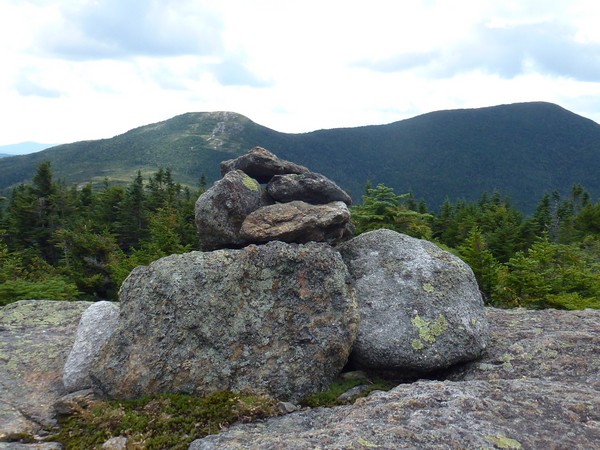
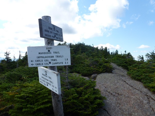
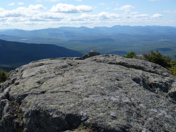
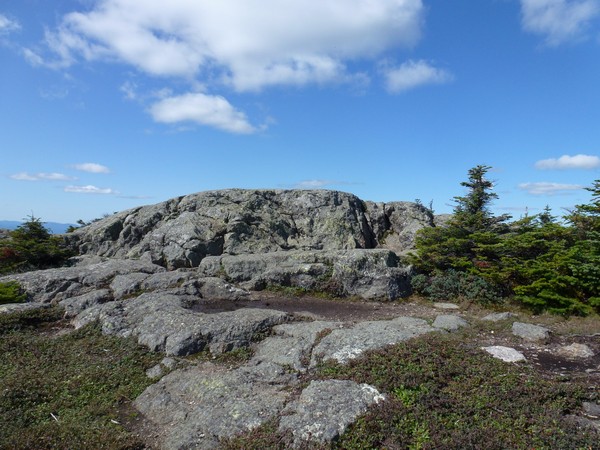
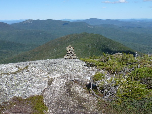
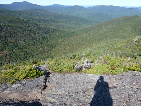
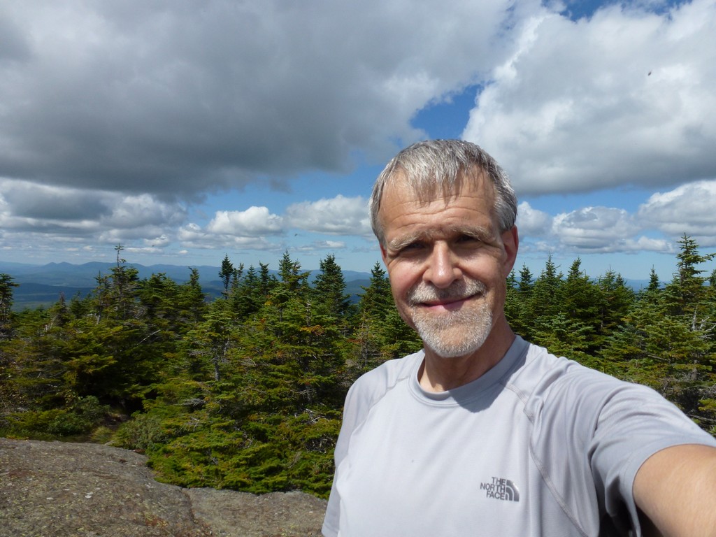
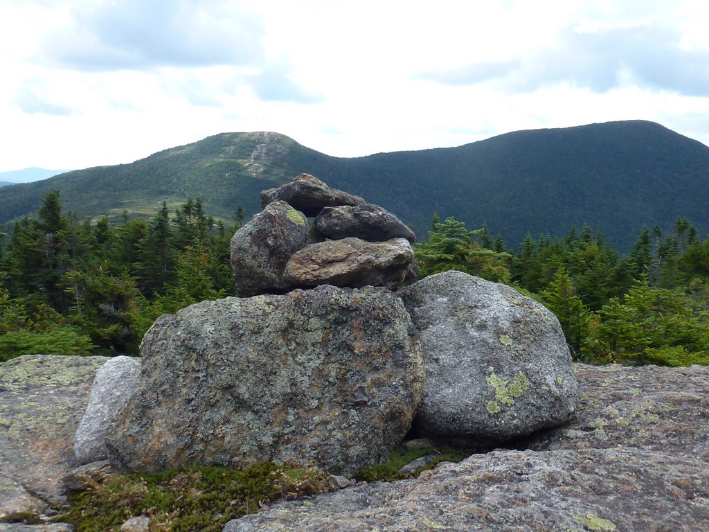
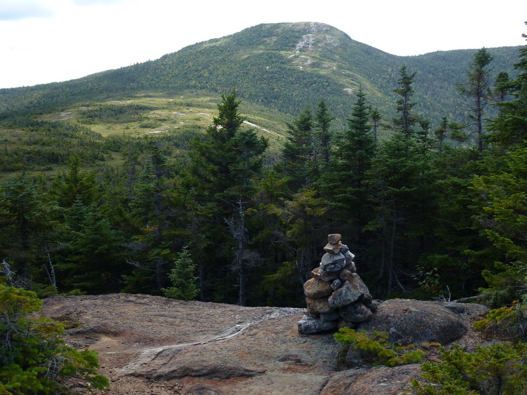
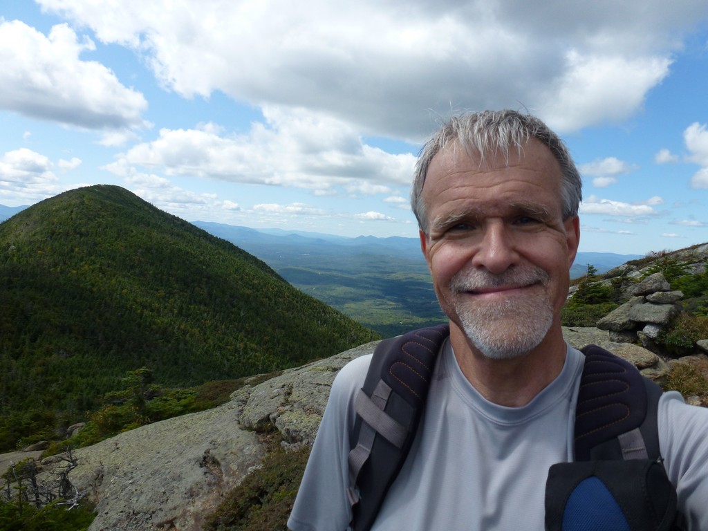
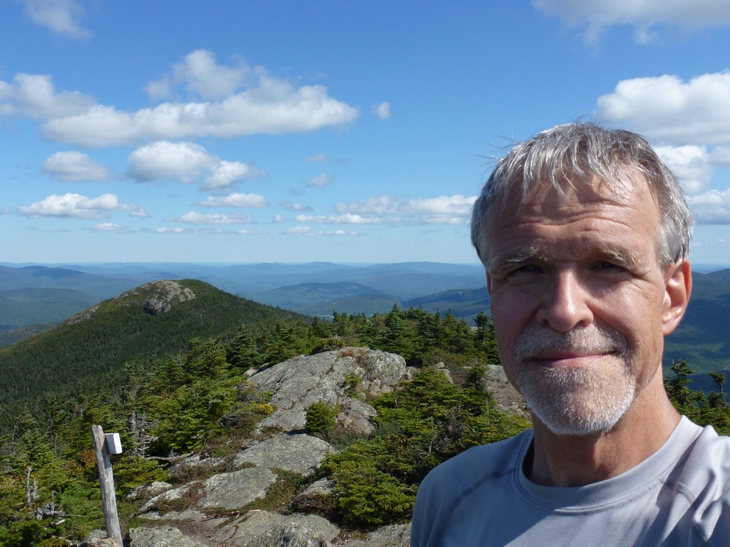
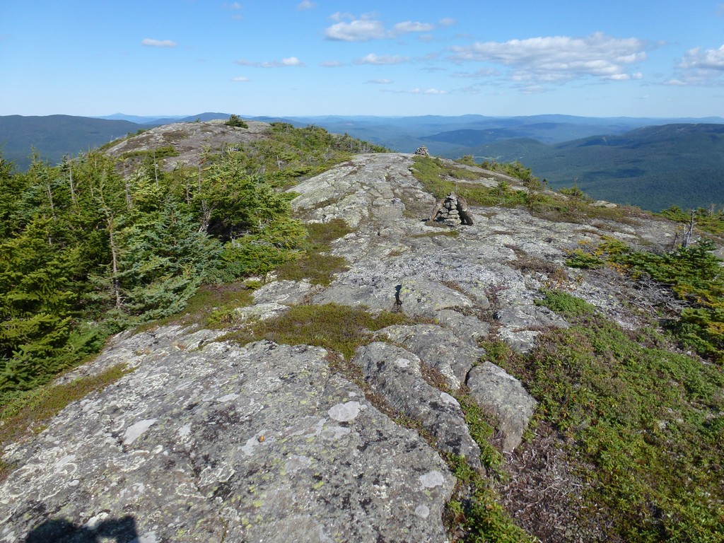
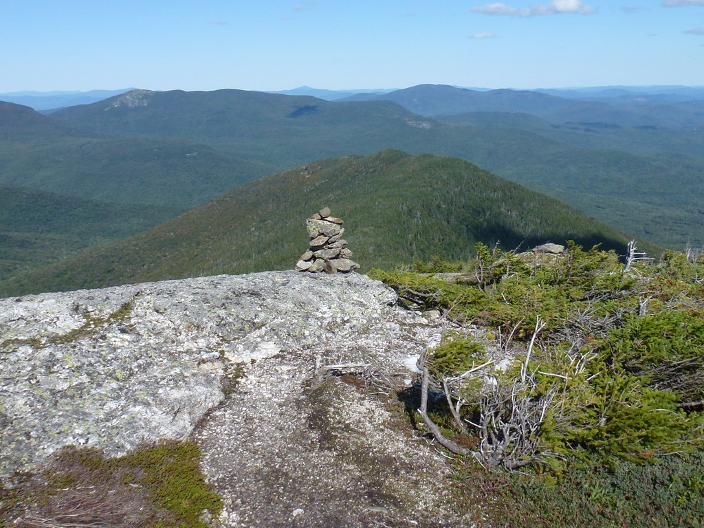
It took a little less than an hour to get to the east peak. I stopped there briefly to take a few photos before continuing on to the west peak, the high point.
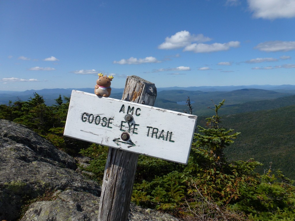
I passed the southern branch of the Wright Trail along the way and then left the Appalachian Trail and started up the Goose Eye Trail to the summit.
|
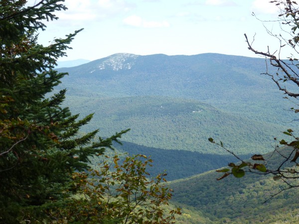
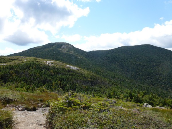
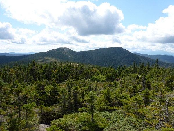
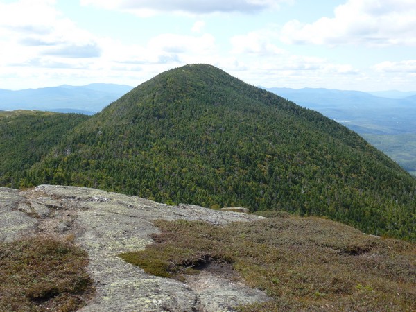
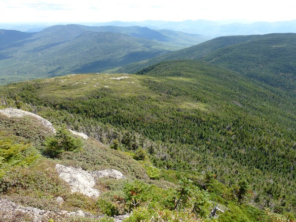
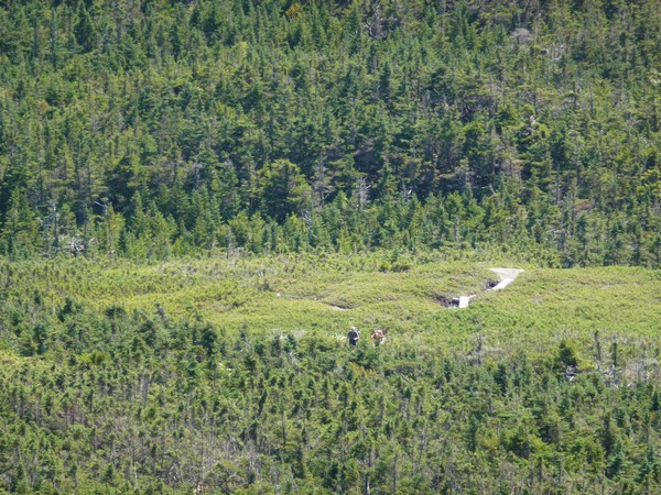
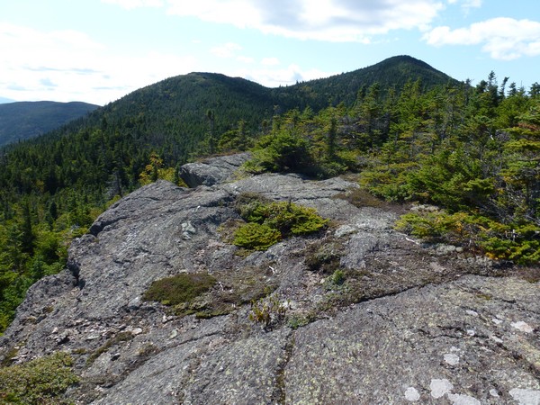
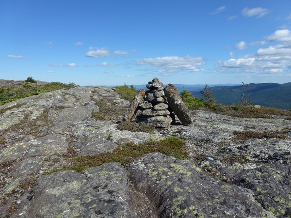
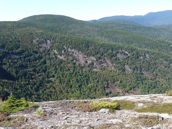
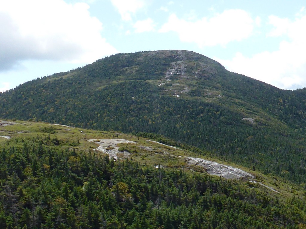
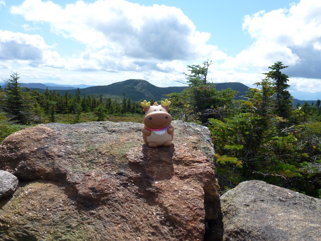
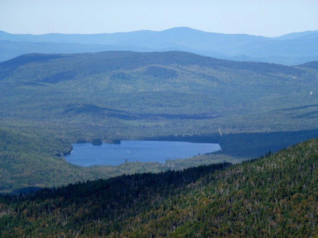
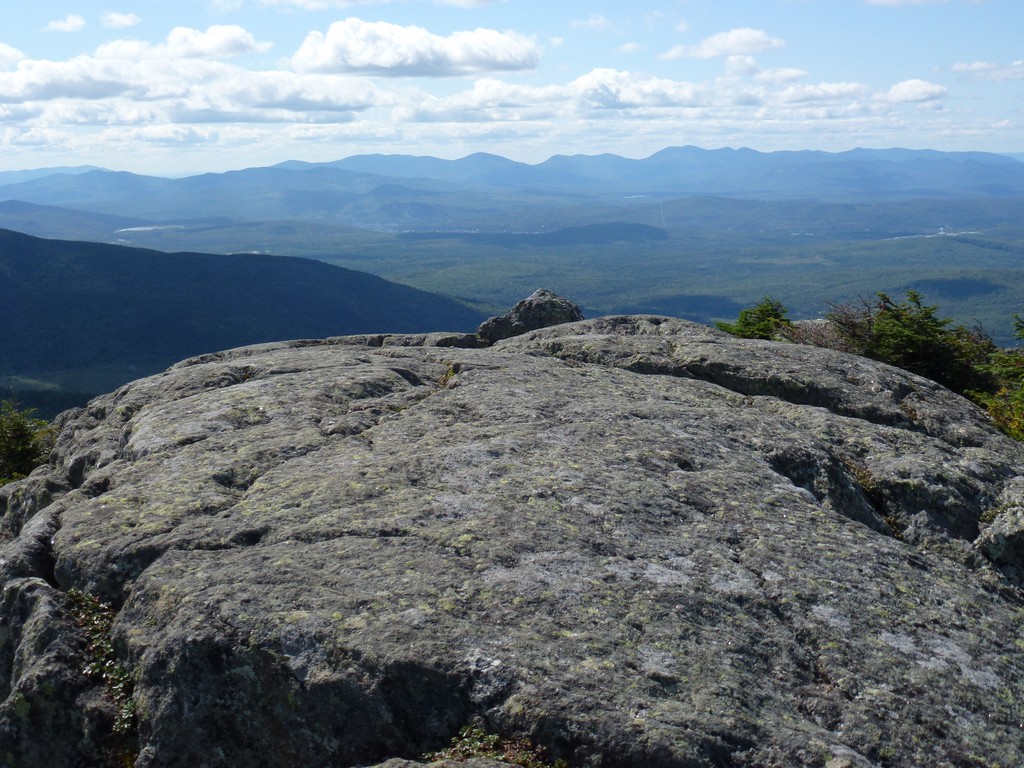
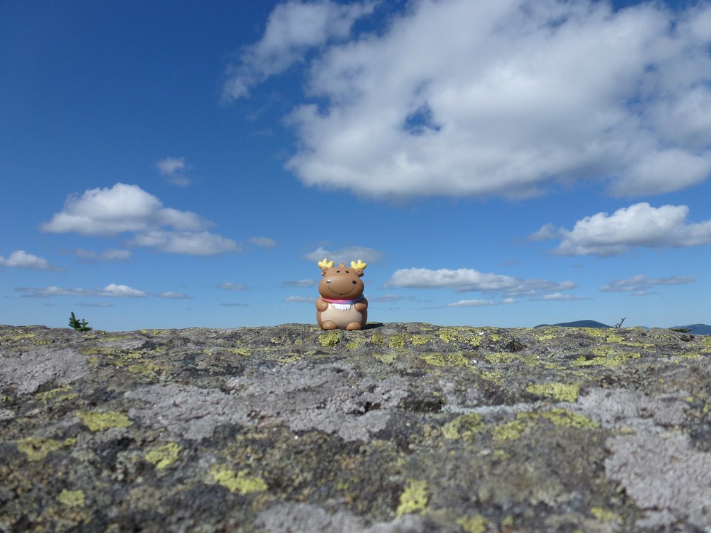
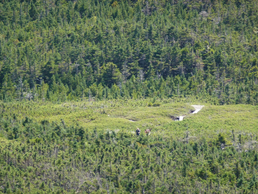
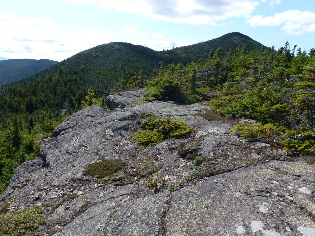
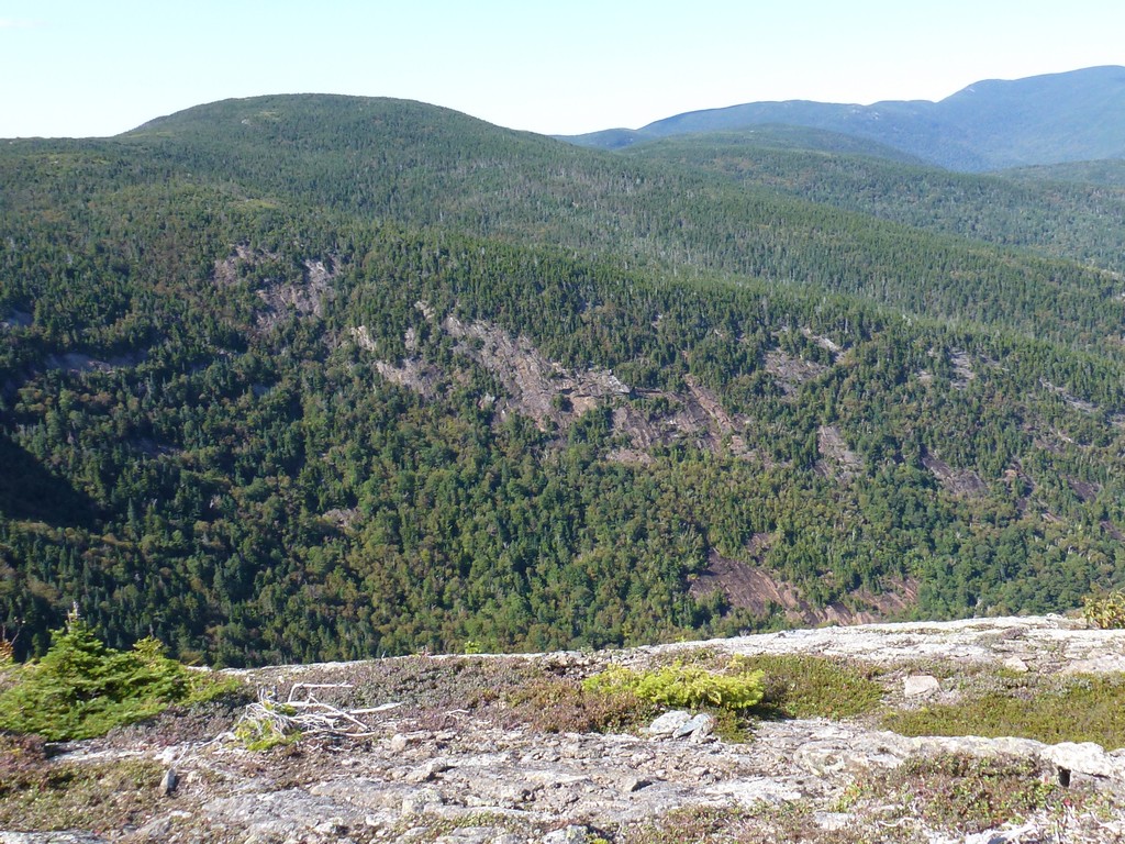
It was already 2:15pm by the time I got to the west peak so it was a late lunch. I ate and rested and took photos for about 15-20 minutes before starting the hike out. The view from all along the ridge and the three peaks were just incredible. From the vantage point where I decided to have my lunch I could see people coming across the Appalachain Trail and heading towards Goose Eye Mounatin.
|
It was just a little before 3pm when I reach the trail junction with the southern branch of the Wright Trail. It was going to be a late day.
The northern branch of the Wright Trail was nothing at all like the southern branch. It descended along a ridge line just east of Goose Head Mountain for about a mile before finally leaving the ridge and heading back down into the forest. The hiking along this trail was a lot easier and the views were magnificent. The scene that was in front of me for the descent was nice but I had to remind myself to stop and look around once in a while as the views to either side of the ridge as well as behind me were equally as impressive.
After the trail goes back into the forest it is only about a half of a mile back to the campsite where the northern and southern branches come together.
|
I made pretty good time going back down and it was just after 4pm when I got to the campsite. I took a brief rest there and munched on some snacks and chugged down some water before starting the final stretch of the Wright Trail back to the car. I made a couple of brief stops on the way back for photos but I had already seen all of this before on the way up. I arrived back at the trailhead just a little after 5:15.
|
This was probably my second favorite hike of the summer after Baldpate, and for the same reasons. I just loved being up on that ridgeline and having multiple peaks to look at. This one was a longer hike than Baldpate by about 3 miles and 2 hours and was definitely a lot more work though.
It was a very long day, starting at 3am and I did not get home until 9:30pm. I made a side trip to Portland Head Lighthouse at Cape Elizabeth on the way up for sunrise and that's why I got such a late start on the trail. The sunrise was gloriious though and I do not regret it in the least.
|
|
|---|
|
|---|


