|
Baldpate Mountain day hike |
|---|
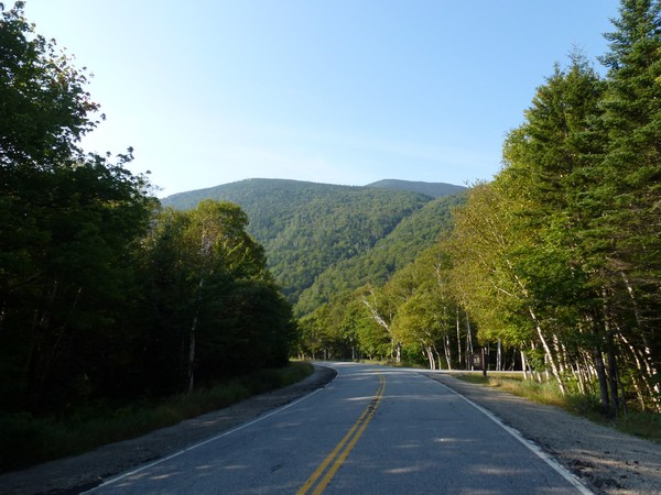
The White Mountains end on the east side of Grafton Notch so Baldpate Mountain is techinally not part of the Whites. I don't care, it's close enough.
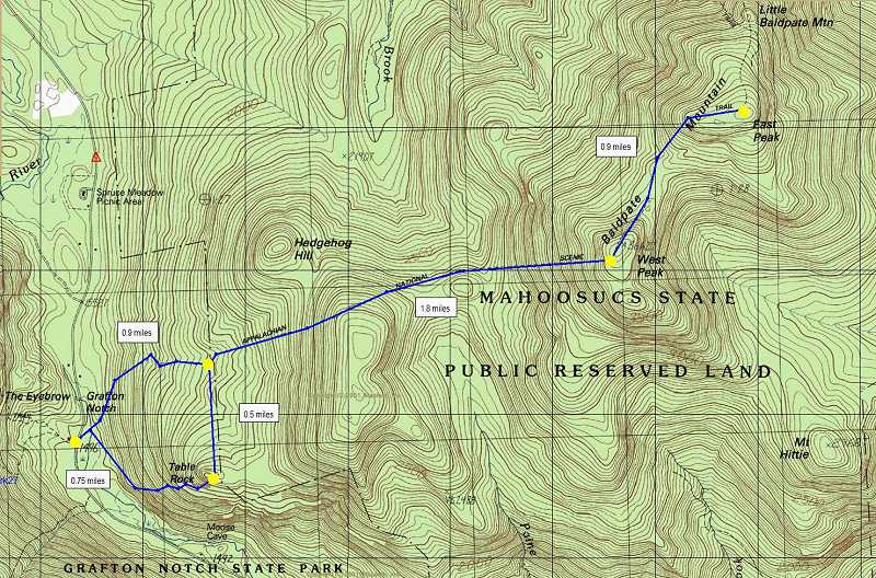
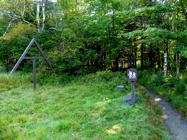
This day hike started at the parking area for the Old Speck/Eyebrow/Appalachian Trails on the west side of Maine Route 26 in Grafton Notch, about 12 miles west of US Route 2 in Newry, Maine.. From the parking area I crossed the highway to the east side and took the Appalachian Trail first to the summit of West Baldpate and then to the summit of East BaldpateAppalachian Trail back down to the northern junction with the Table Rock Loop Trail, but then took that first up to Table Rock and then continued back to the parking area in Grafton Notch.
|
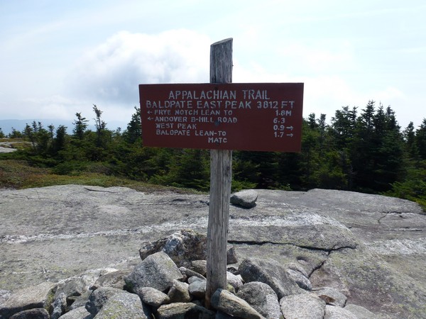
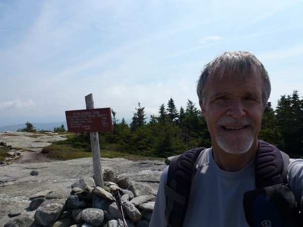
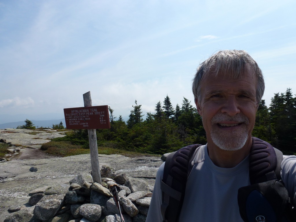
The starting point for this hike was parking area for the Old Speck/Eyebrow/Appalachian Trails on the west side of Maine Route 26 in Grafton Notch. Baldpate Mountain (east peak) would be number 57 on my New England Hundred Highest list. I started this hike just at 8:30.
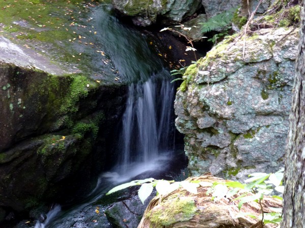
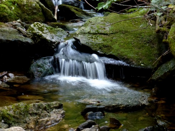
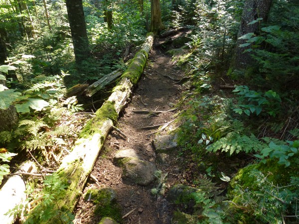
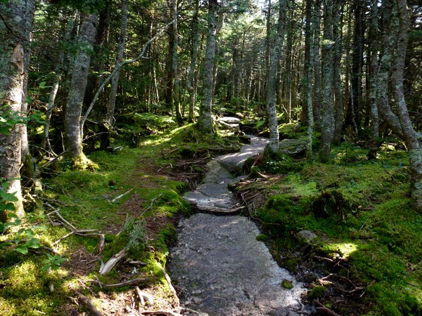
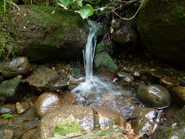
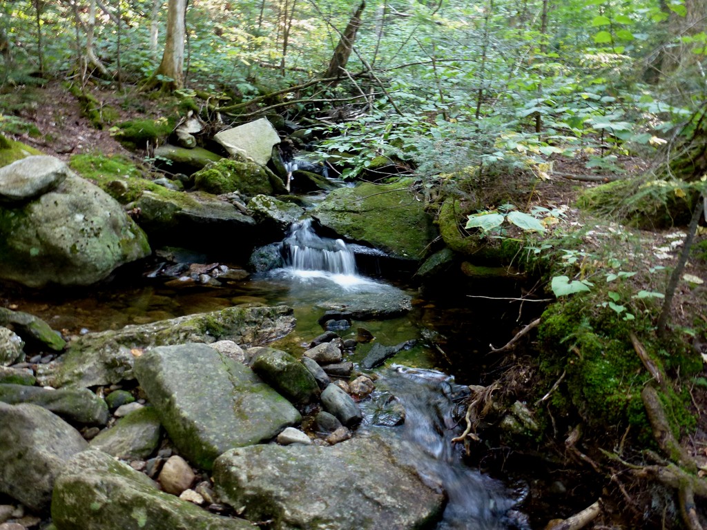
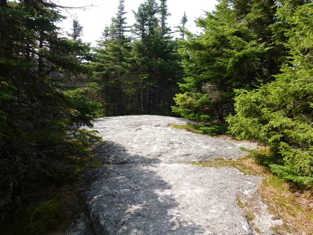
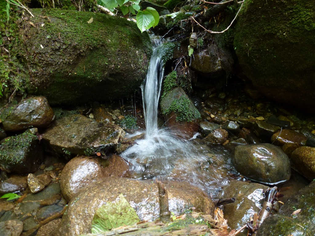
The hiking in the beginning at this beginning of this hike was pretty easy with a pretty gradual elevation gain. There was a little water along the lower portion of it while still in the notch but that went away very soon.
|
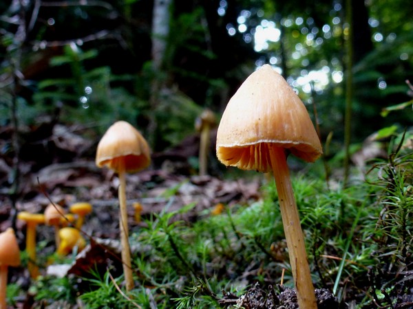
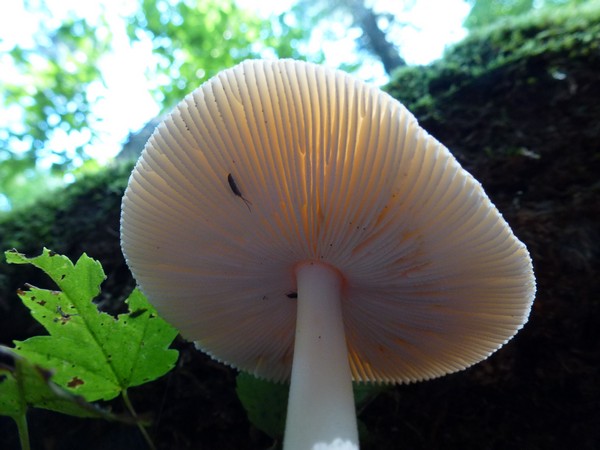
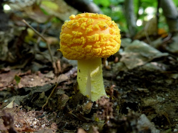
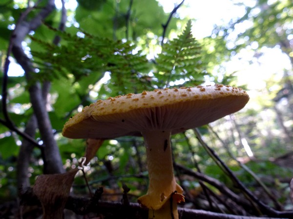
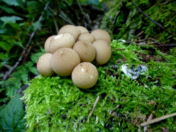
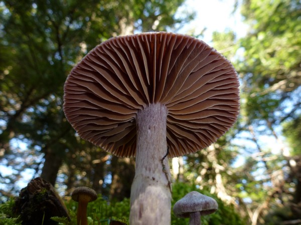
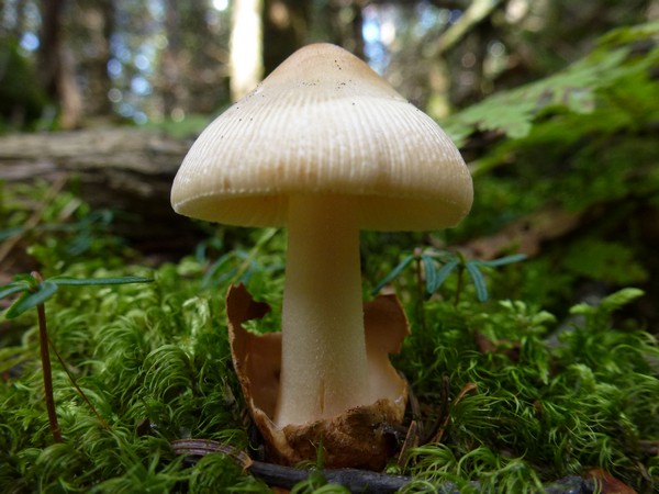
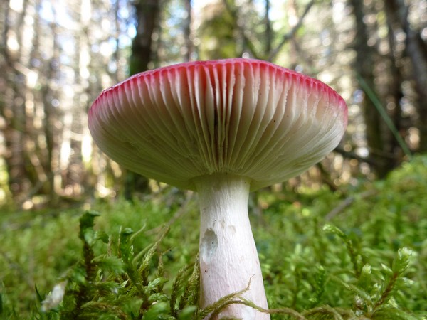
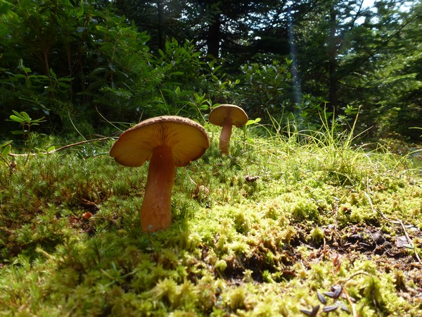
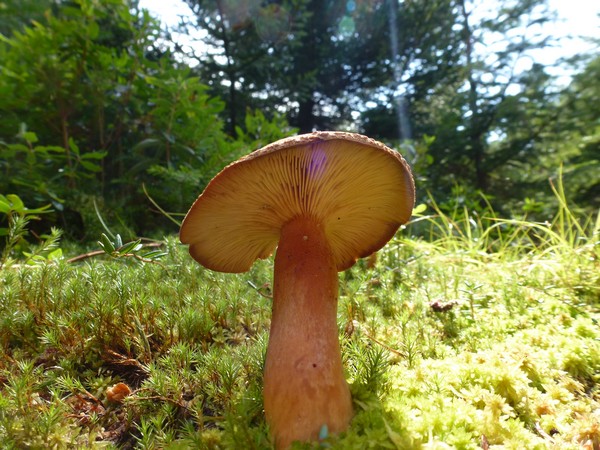
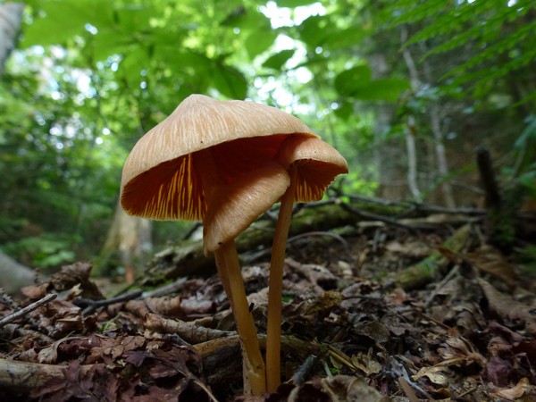
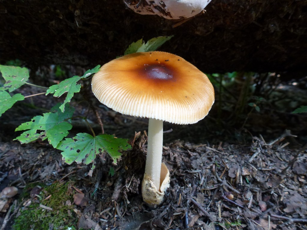
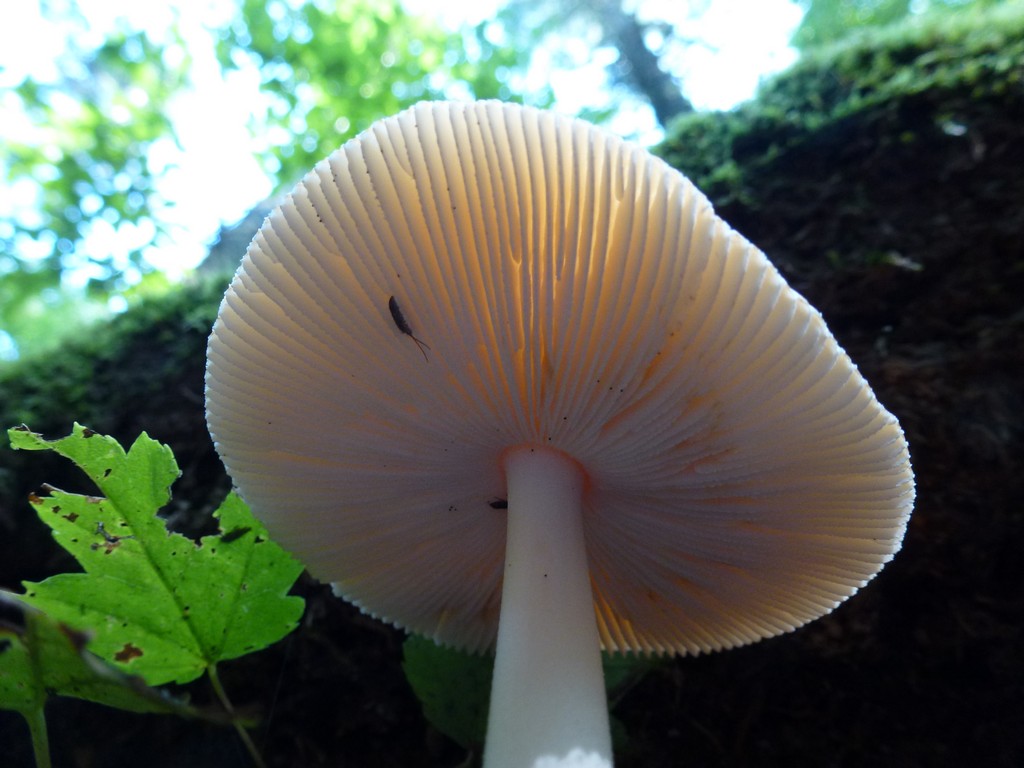
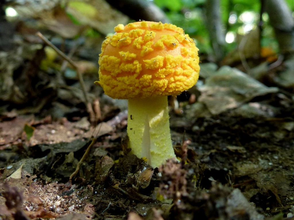
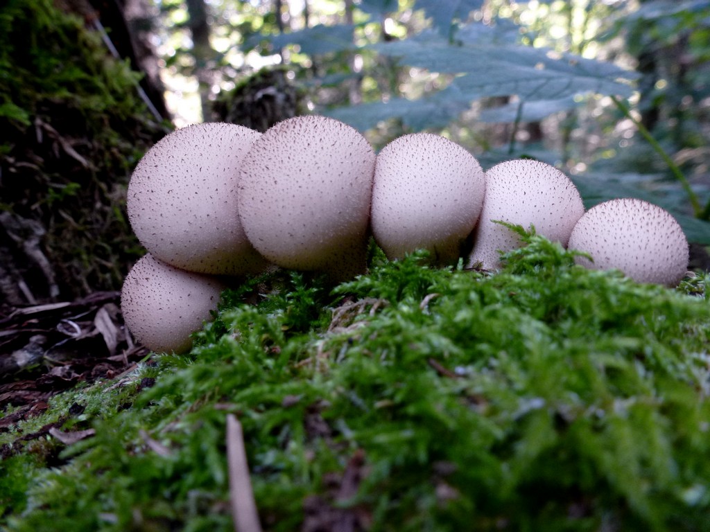
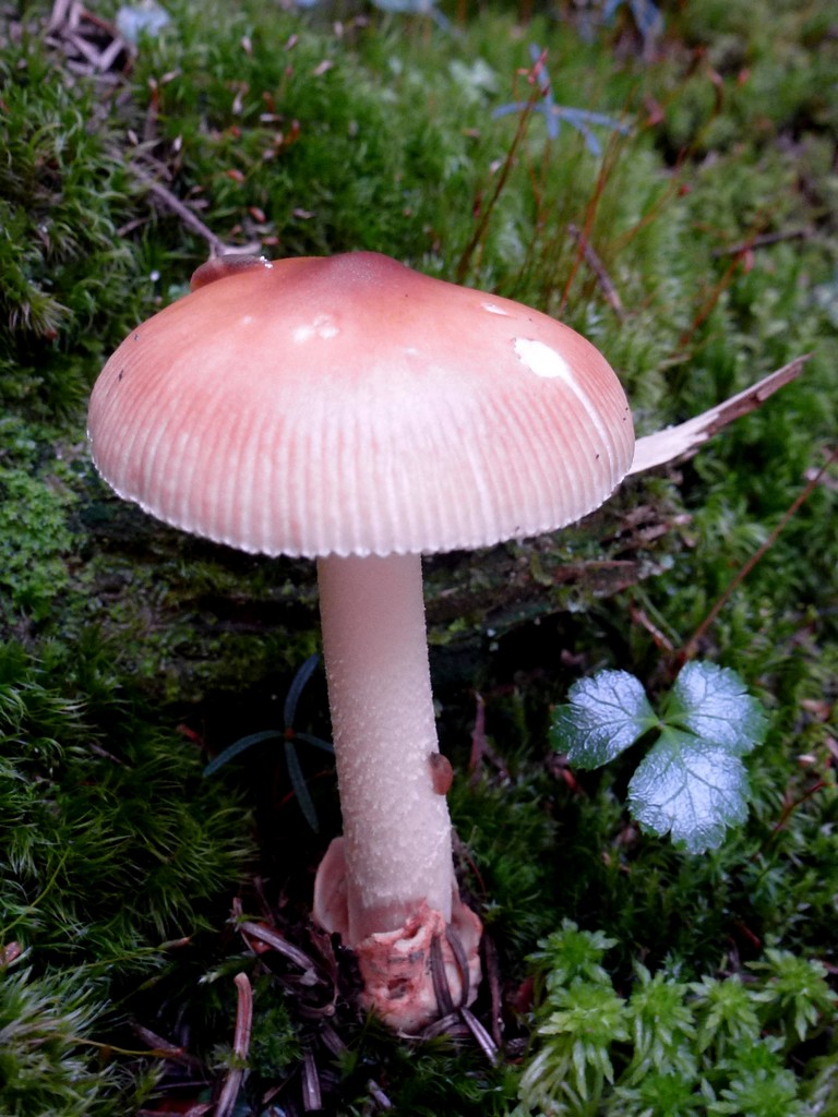
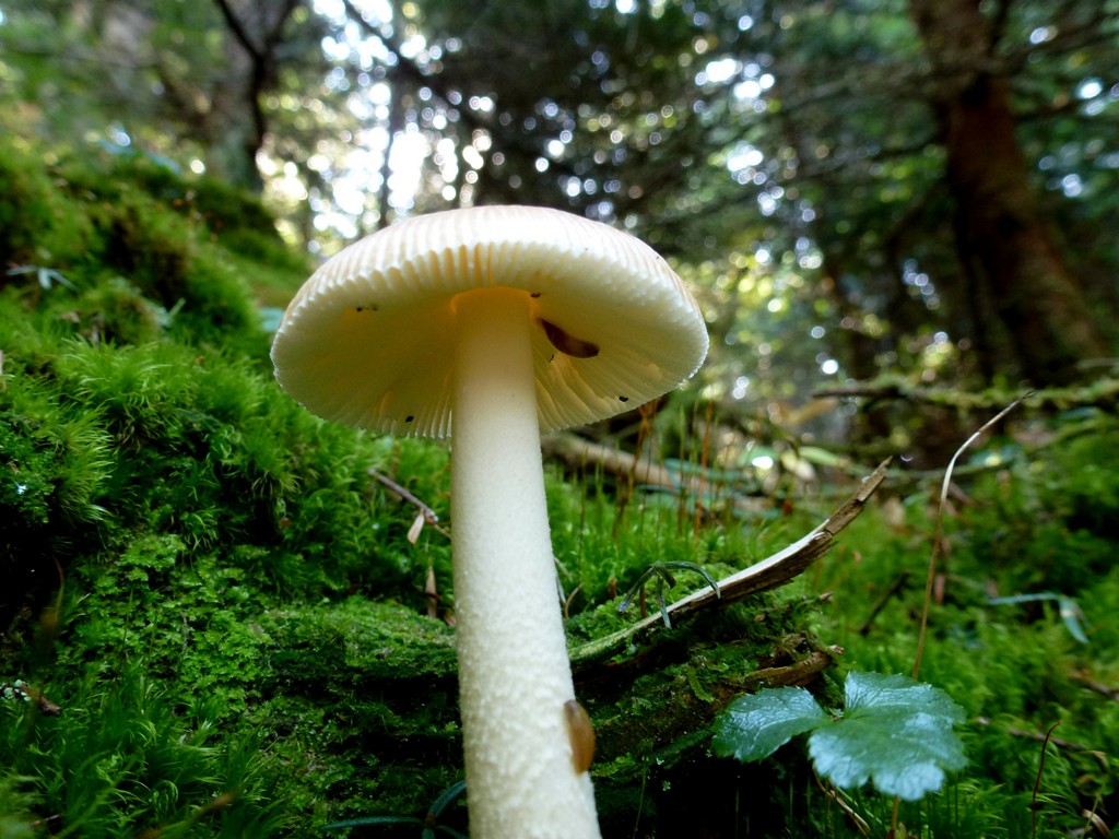
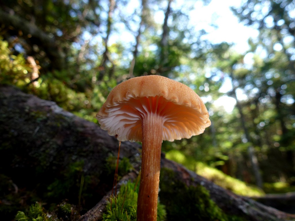
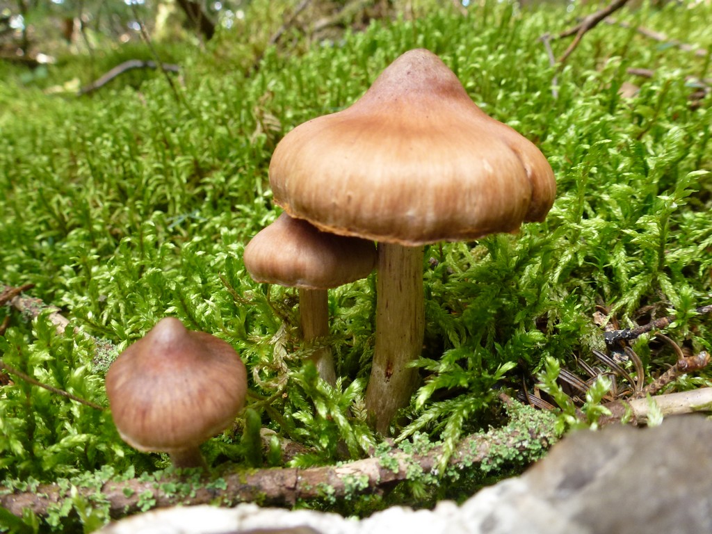
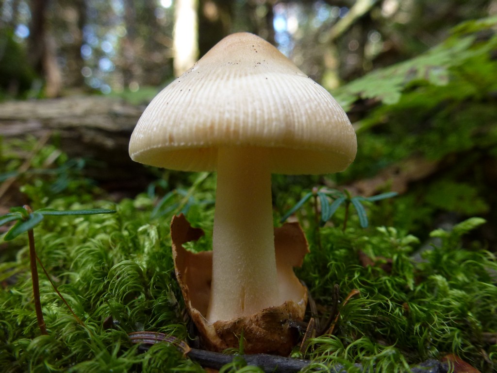
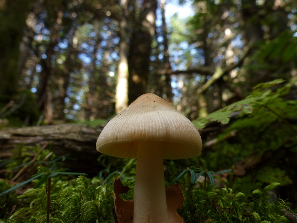
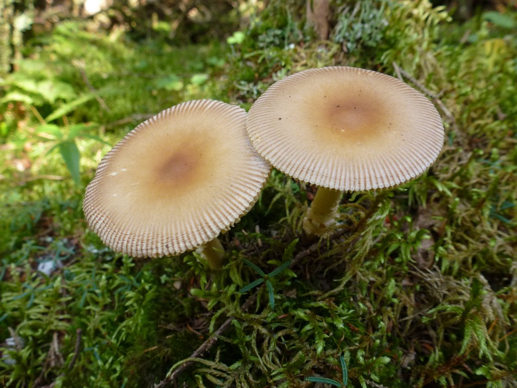
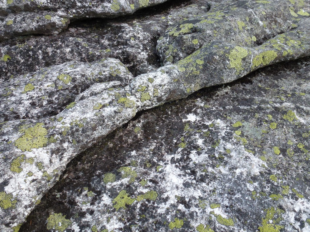
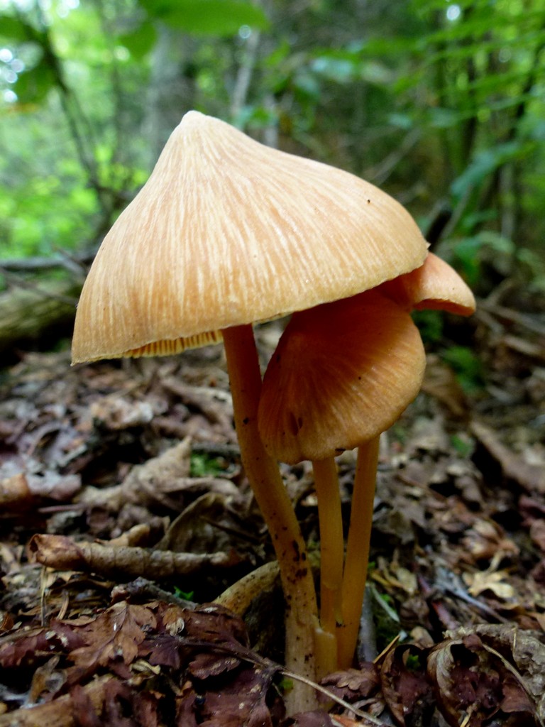
There were lots of cool looking mushrooms along the trail, just like the hike up Old Speck Mountain on the other side of he notch in the previous week.
|
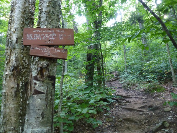
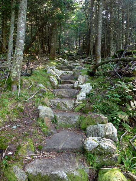
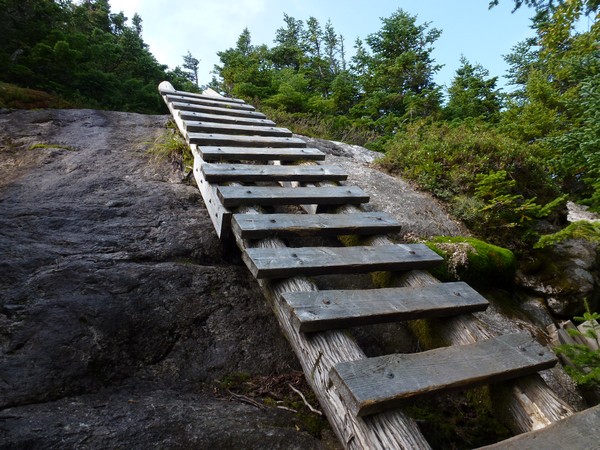
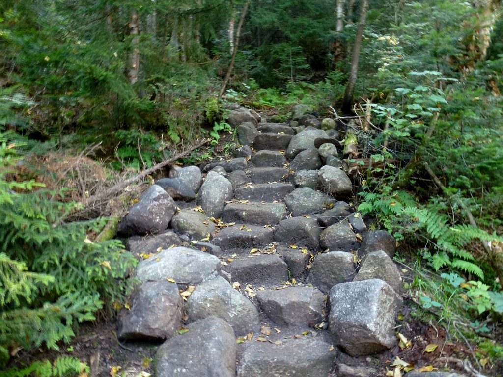
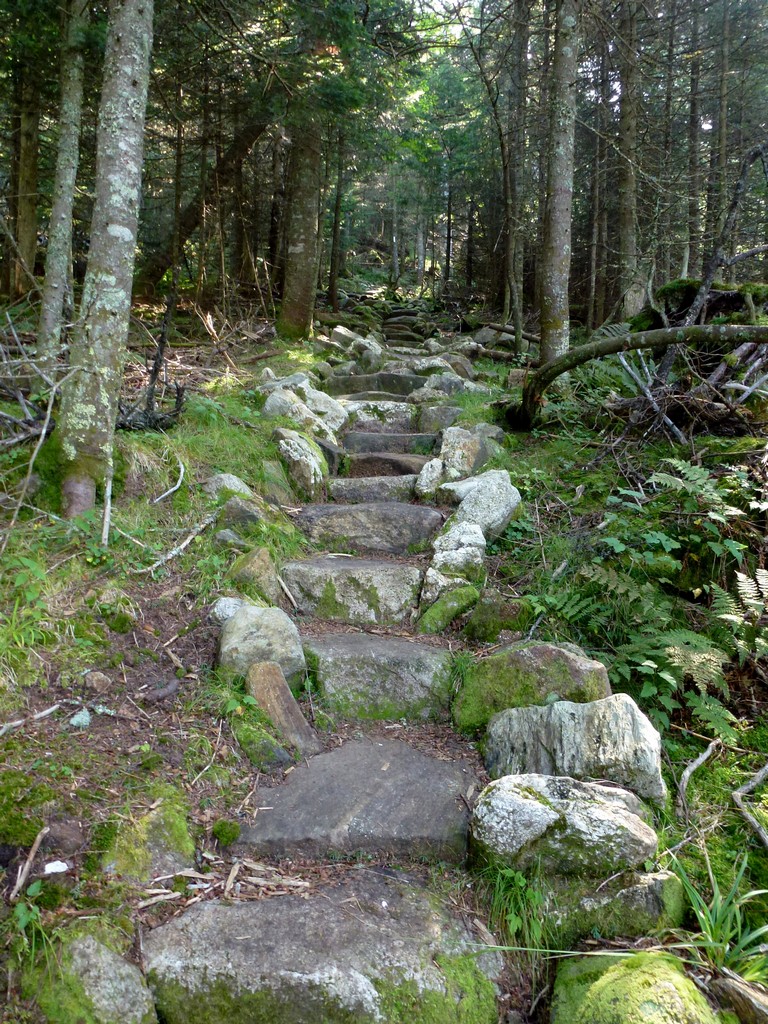
Since the trail going up and over Baldpate Mountain is the Appalachian Trail it is very well maintained amd some of the trail construction is very impressive. There are actually lots of sections with stairs in the section that leads up to the Baldpate shelter/lean-to.
|
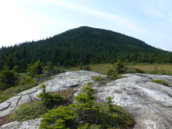
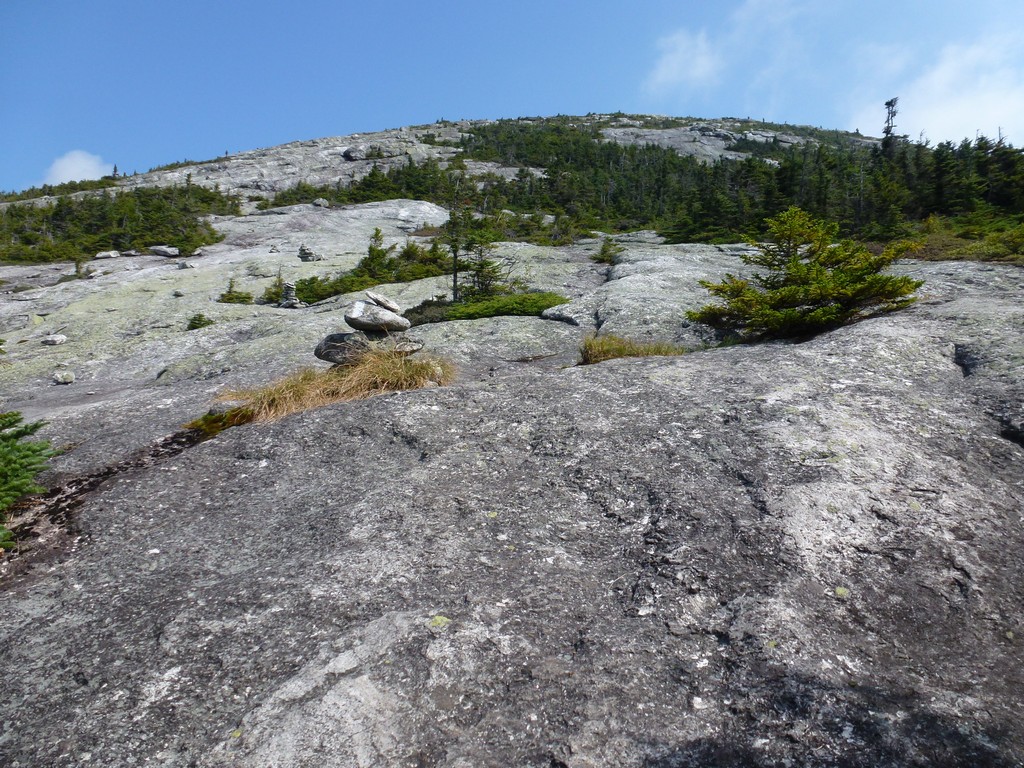
The trail climbs at a steeper pitch heading up over the ridge that connects Hedgehog Hill with some nameless "bumps" to the south. Once over that it levels out for a little while as it approaches the spur trail that goes to the shelter. Above the spur trail it starts climbing more steeply again as it ascends the west side of the West Peak of Baldpate Mountain.
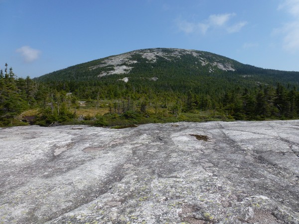
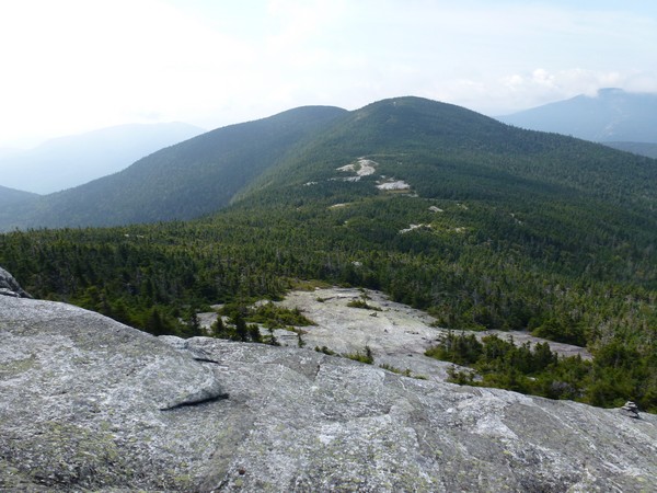
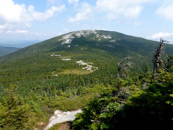
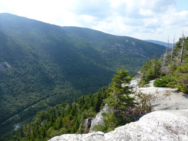
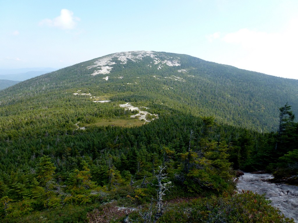
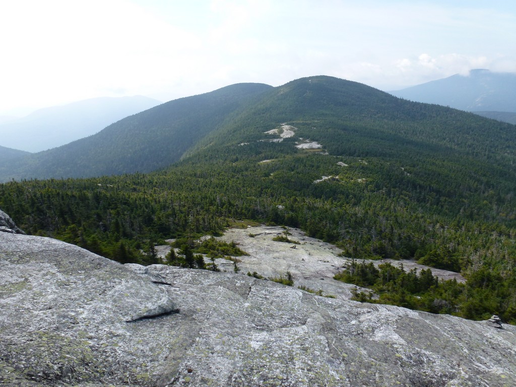
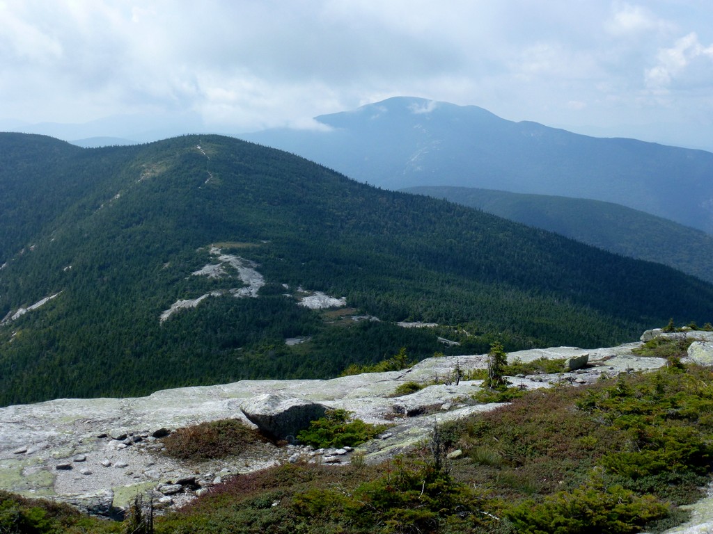
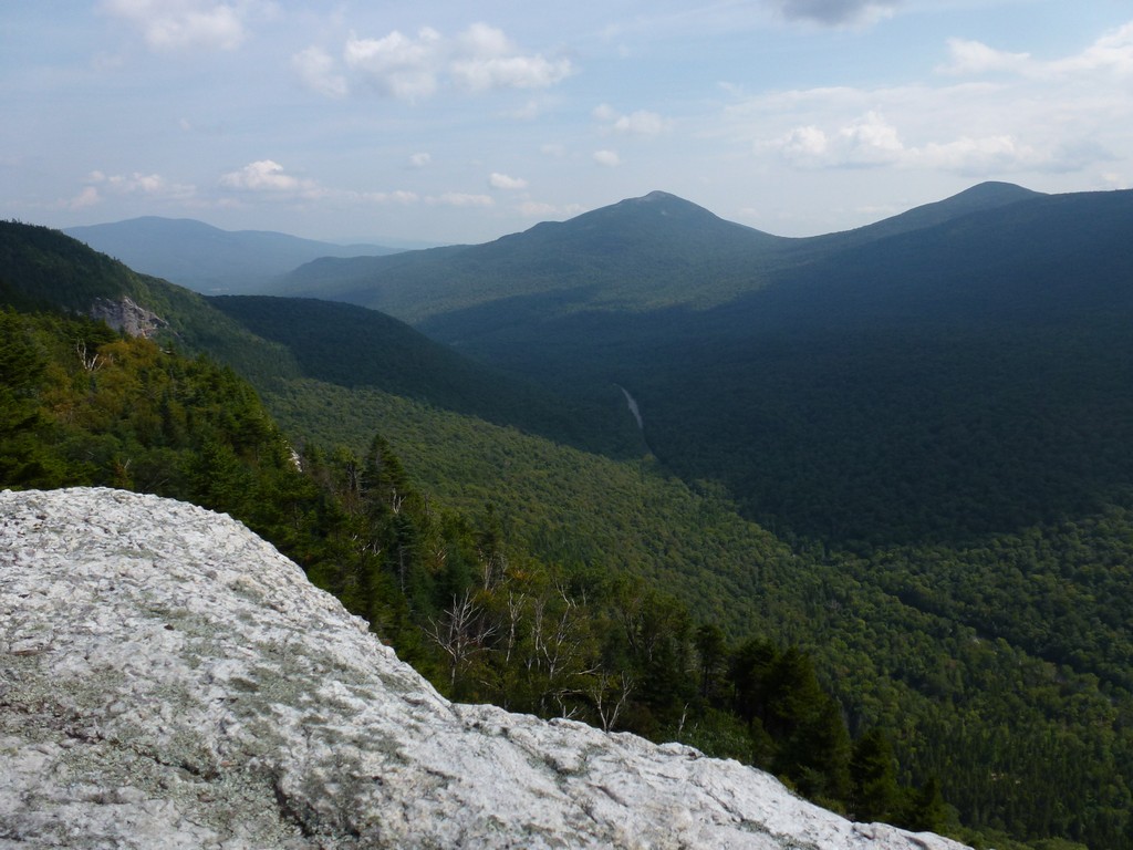
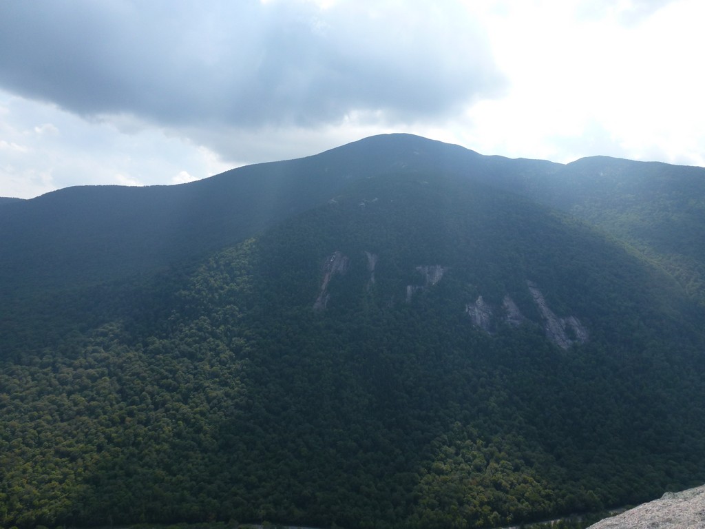
There really isn't anything to see from the summit/high point of the West Peak itself but the view that opens up a little to the easy of that is awesome. I think this was my favorite hike of the enture summer just because of the views along this section of the trail from the east side of West Peak all the way over to the East Peak. The hiking along this section was very nice too. There was a steep descent off of the West Peak but then the section across the saddle between West Peak and East Peak was very nice.
|
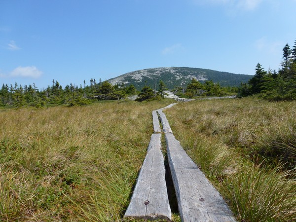
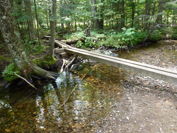
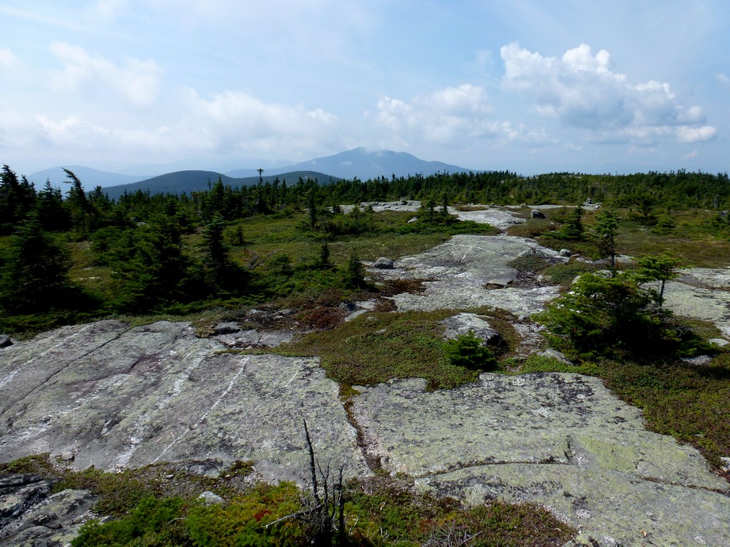
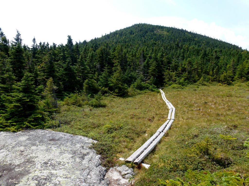
The section between West Peak and East Peak is very flat. There is lots of water up there being held in numerous bogs and a couple of small ponds. Because it is so flat it probaby does not drain well and there even seemed to be some springs feeding more water in. There are boardwalks across the really wet spots that connect with the rocky surfaces but some of the timbers in these boardwalks are pretty well rotted and in need of replacement. There are a couple of places where gatting across can be a little challenging as the timbers are rotted completely and/or partially or fully submerged.
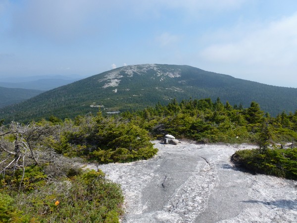
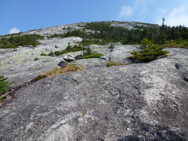
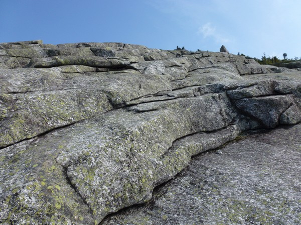
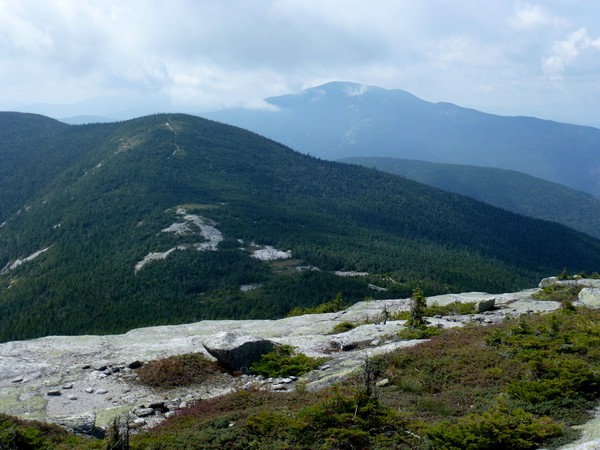
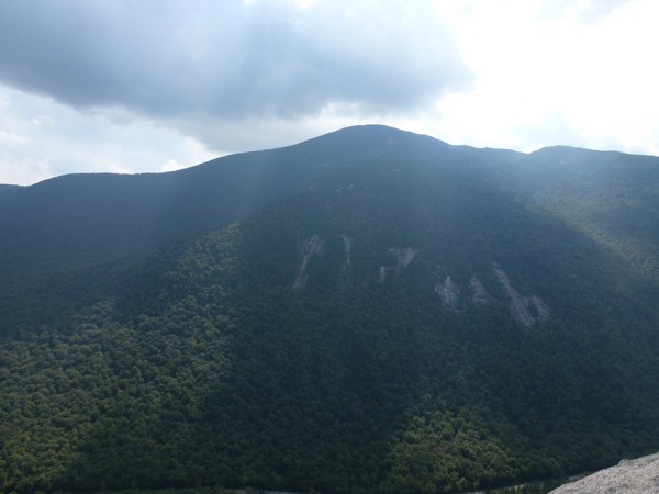
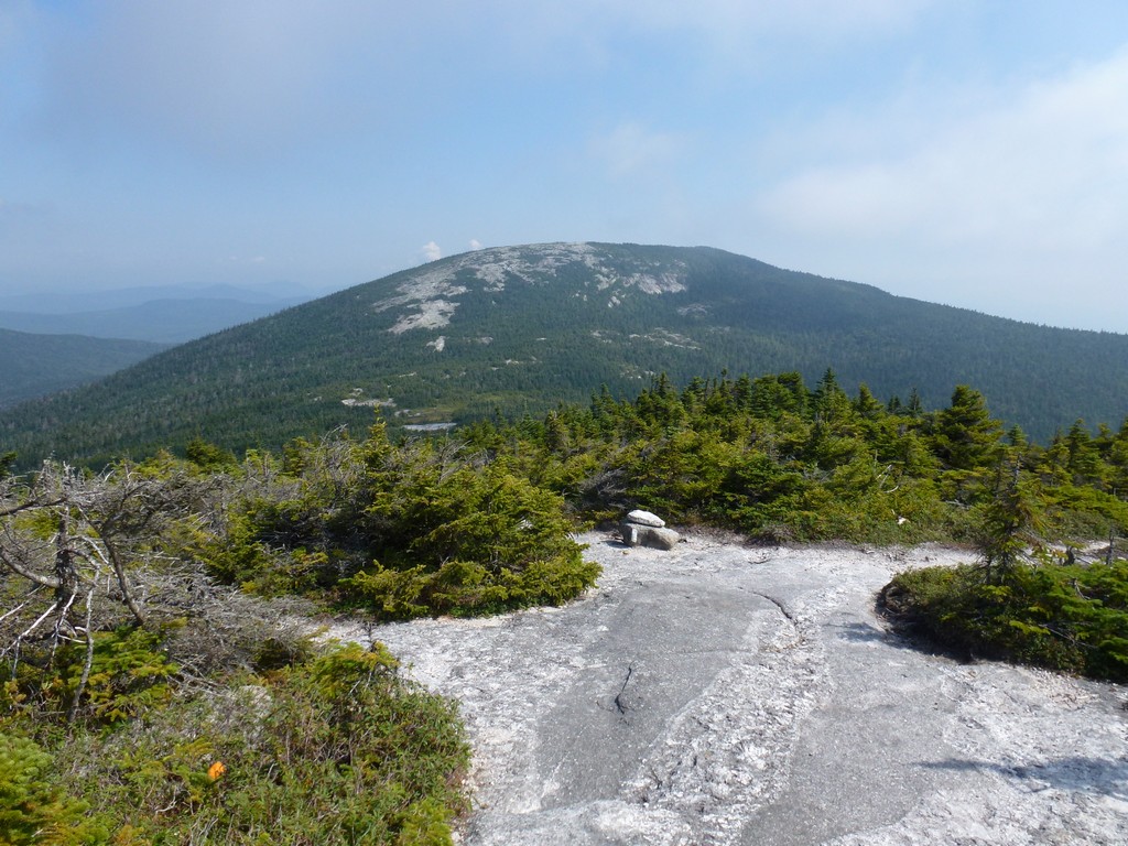
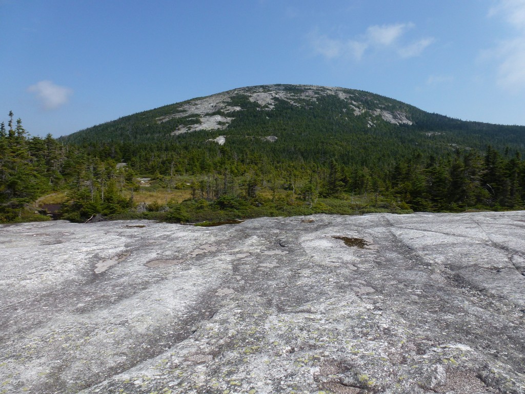
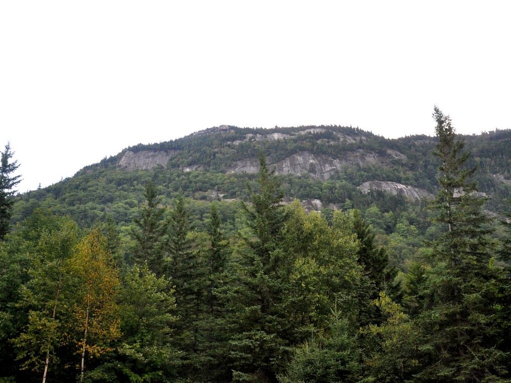
The trail got steeper again as I approached and started clmbing up the west side of East Peak. East Peak is almost completely bare though and the views are incredible. The view across the saddle and over towards West Peak and Old Speck Mountain beyond are very nice.
|
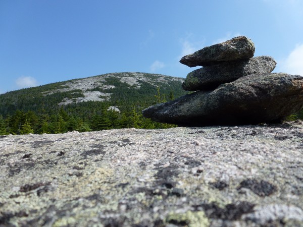
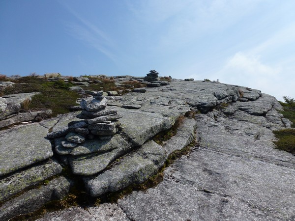
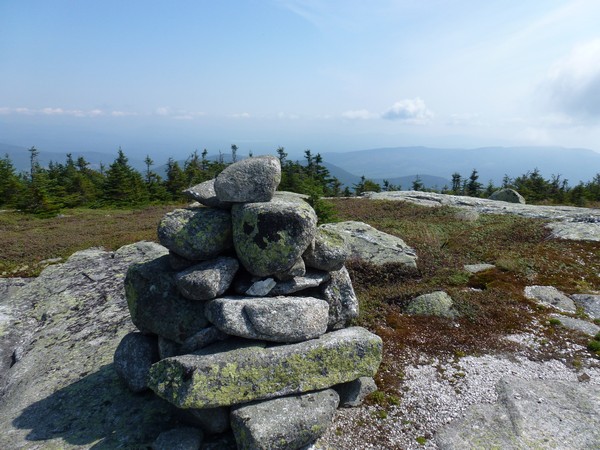
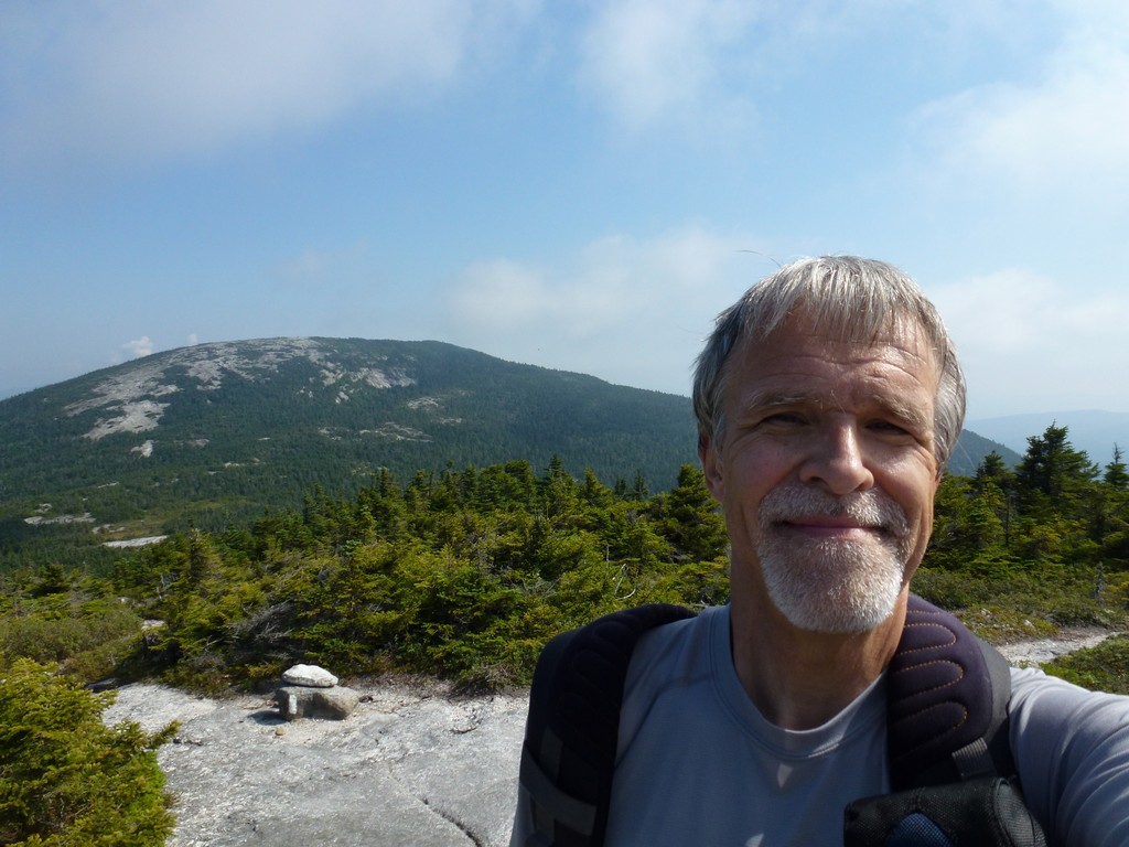
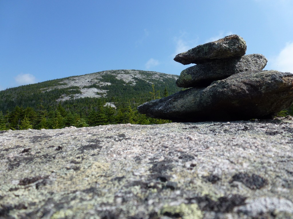
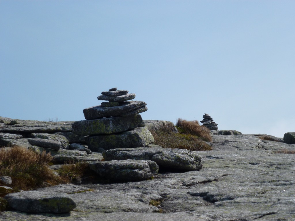
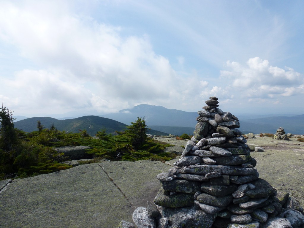
There is a big cairn on the west side of East Peak but the high point is actually on the west side a few hundred yards beyond. Both highpoints seem to be about the same and it is hard to tell that the one on the east side is actually a little bit higher.
I stopped for a while at the actual high point and had my lunch before starting to head back.
|
I enjoyed the hike going back across the saddle again just as much as the first time. The views of both West Peak and East Peak from down there are spectacular. It is a very pretty area and I had it all to myself. I did encounter a small group of people who were heading up West Peak as I was coming down and another person came up East Peak while I was there but he did not stay very long at all before turning around and heading back down the way he came, towards Little Baldpate Mountain. Aside from these people I had the place to myself for the entire time I was up there.
|
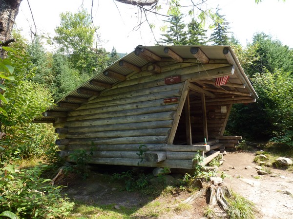
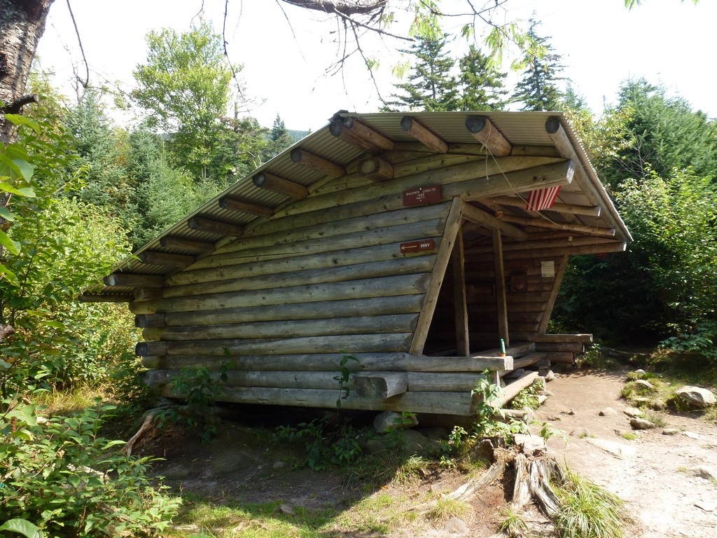
On the way down from West Peak I took the spur trail to the Baldpate shelter/lean-up just to see what it looked like. It was the standard AMC shlter for the White Mountains and I don't really know why it was called a lean-to because it wasn't leaning against anything.
|
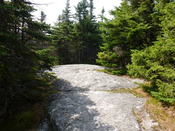
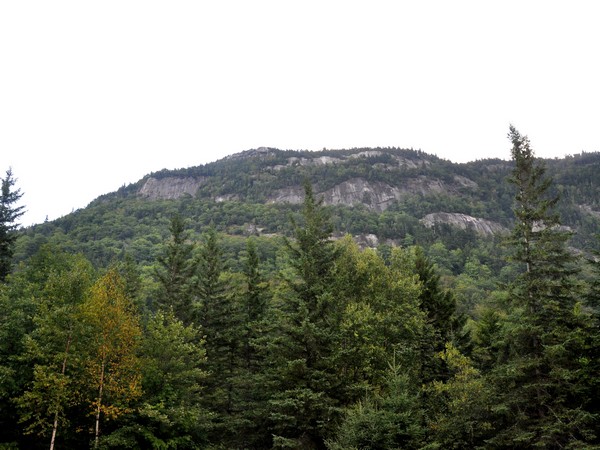
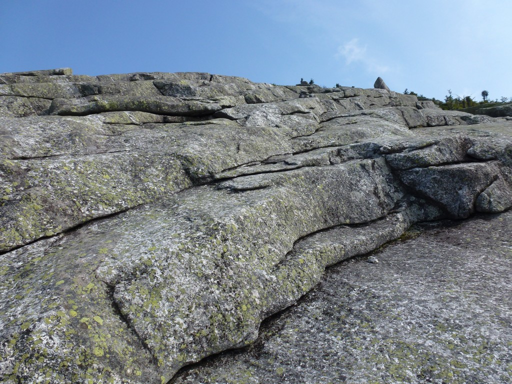
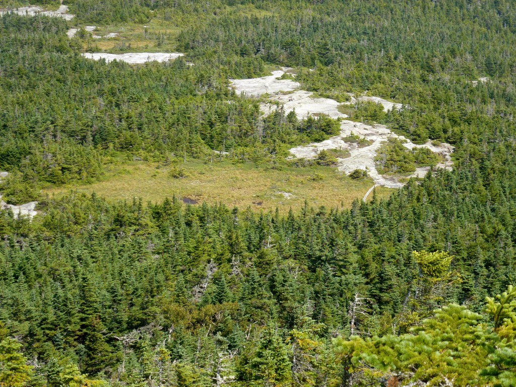
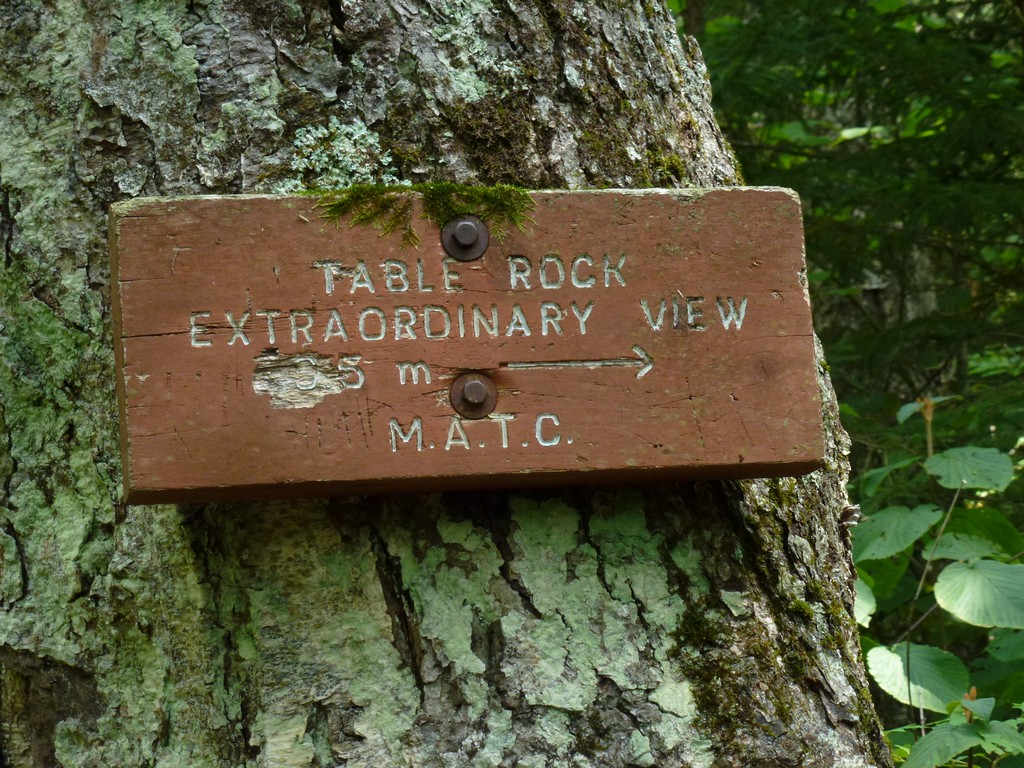
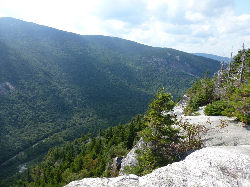
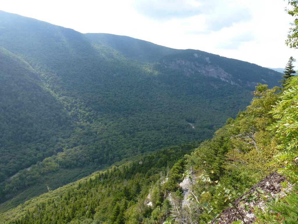
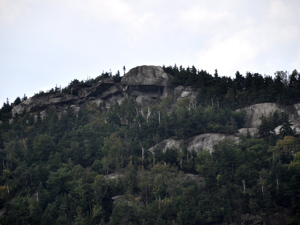
On the way back down I also decided to take the loop trail over to Table Rock. I did not realize how much additional climbig was going to be involved in doing this and I was already starting to feel tired before I started up. I was determined not to miss it though and when I got there the view was definitely worth the extra work.
If I thought the hike UP to Table Rock was steep I had not seen anything yet. I don't even have words to describe the "trail" on the the west side. In most places it is just a jumble of huge boulders with no "trail" at all. All you can do is watch for the blazes to try and figure out where it goes but in some places these are not so easy to find. It takes a while to get through this jumble of rocks and it is very scary because there are so many places where it would be very easy to twist something the wrong way or even fall and break something. Hitting this section at the end of the day with many miles behind me already was not my idea of fun.
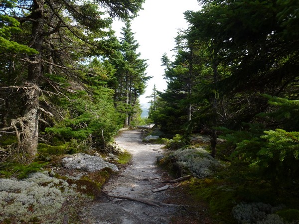
The trail did eventually come back after I got through the jumble and I was very happy when it finally rejoined the Appalachian Trail because I knew at that point I was very close to being done.
|
I ended up finishing the hike just after 3pm and made one short stop at the Table Rock overlook on the way out of the notch to see it from below.
I was very happy that I had not attempted this hike as a second hike after Old Speck Mountain in the previous week. It ended up taking about 6½ hours and I probably could have shaved an hour or so off of that by not going to Table Rock on the way back. Even with that though starting at 2pm would have me finishing at 730pm in a best case scenario. Doing it as the second hike of the day it probably would have taken longer though and even without Table Rock I probably would not have finished before 8pm or even later and it would have been dark. Driving 4 hours home after that in the dark after only 4 hours sleep the night before would quite likely have been a death sentence.
|
|
|---|
|
|---|


