|
Mount Carrigain day hike |
|---|
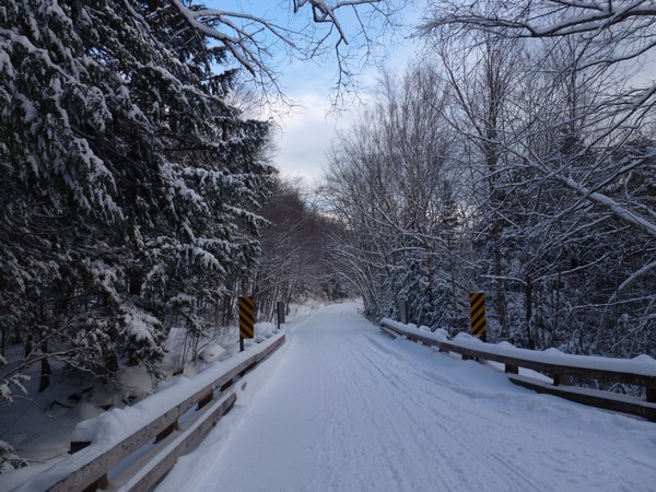
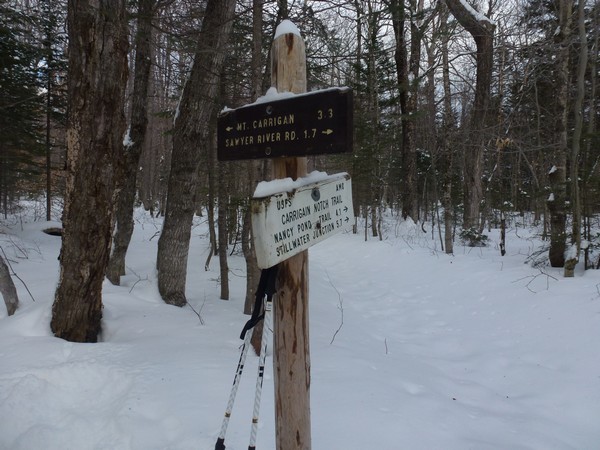
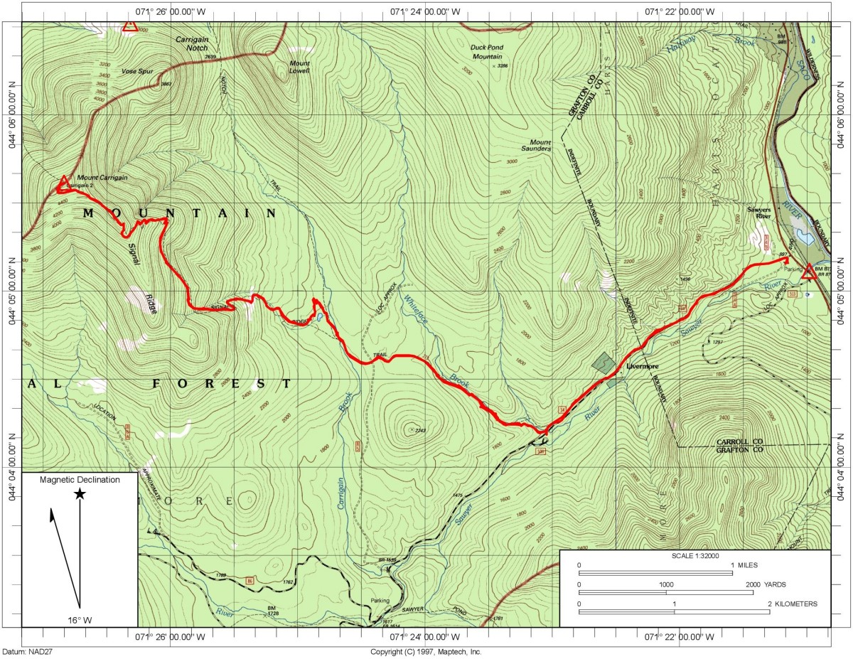
This day hike started at the winter parking lot at the end of Sawyer River Road off of U.S. Route 302 in Harts Location, New Hampshire. From the parking lot we followed Sawyer River Road to the start of the Signal Ridge Trail and took that to the summit of Mount Carrigain. We returned the same way.
|
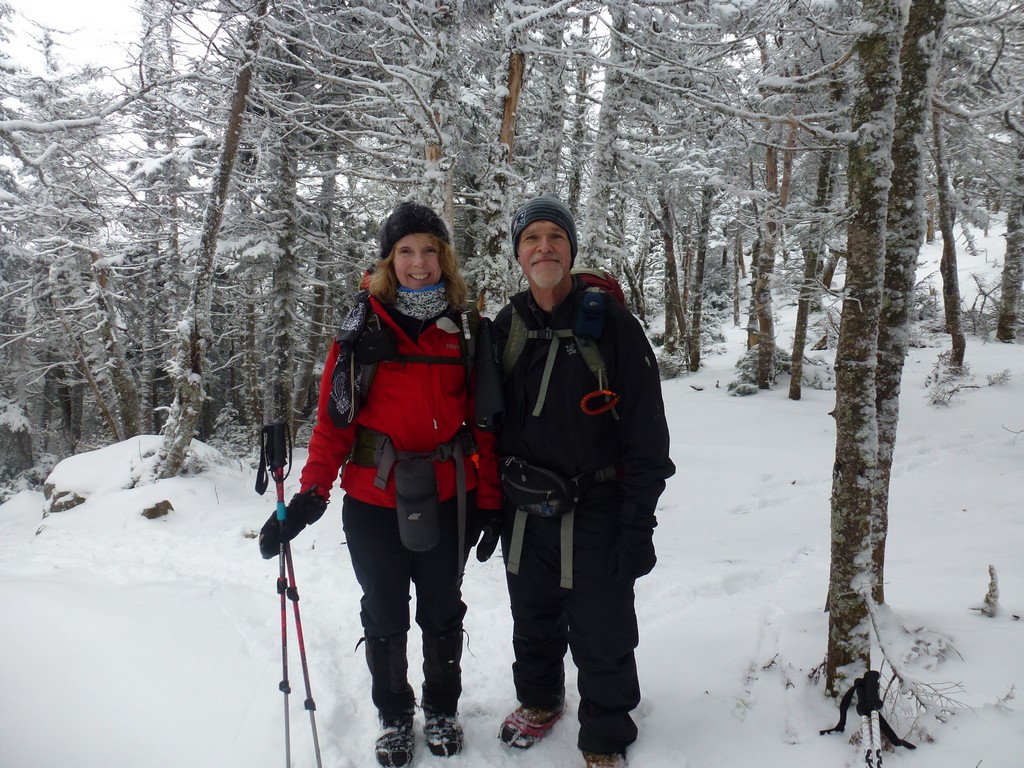
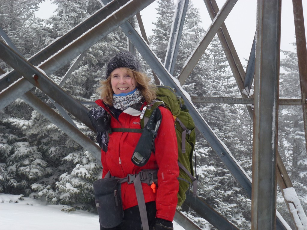
The starting point for this hike was the winter parking lot at the end of Sawyer River Road on U.S. 302. Mount Carrigain would be #41 on my New Hampshire 4000-footer winter list. My hiking companion for this hike was Linda again and we had just done Mount Moriah the previous day. We were originally supposed to do this hike with a few others. One other couple had to back out because of a serious hiking accident on their own hike the previous day. Another hiking buddy of mine, Alysia, had been thinking of joining us as well but we got to the trailhead a little later than expected and she had started without us.
We got to the trailhead late because of problems getting breakfast. The place we thought we were going to be able to eat at in Twin Mountain was closed so we ended up going to the AMC Highland Center in Crawford Notch. It was on the way but they did not start serving breakfast until 7:00 and we thought it would be 600. It was probably close to 7:30 by the time we got out of there and luckily we were not far away from Sawyer River Road at that point but still be didn't start hiking until 7:45.
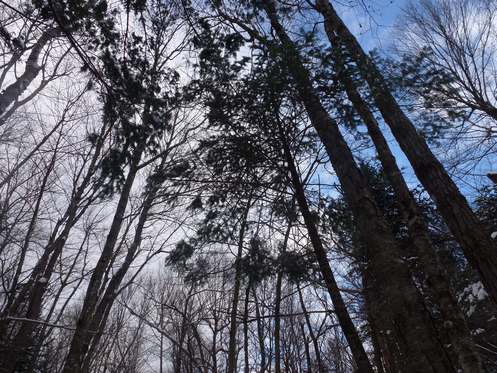
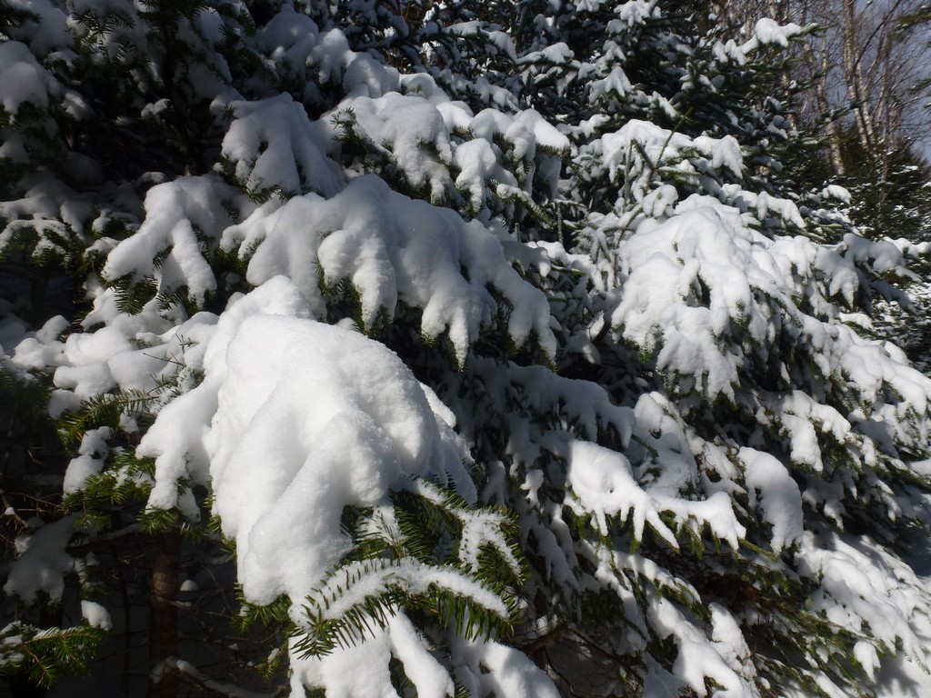
It was a pretty nice morning for it though. It was cold but that was to be expected. There was no wind to speak of so that was good. The original forecast was supposed to be for a sunny day but it started off quite cloudy.
|
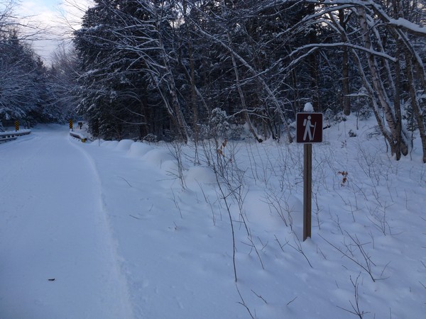
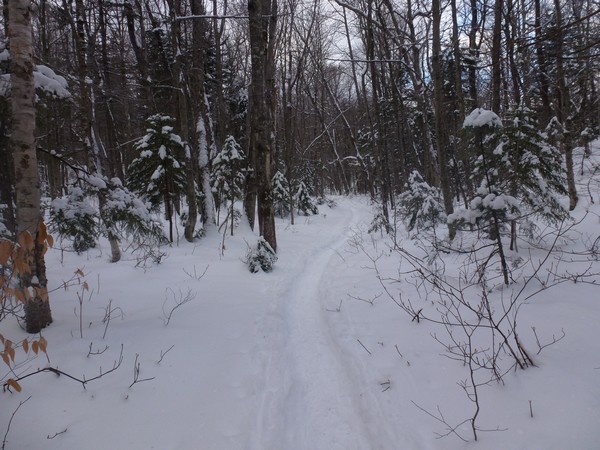
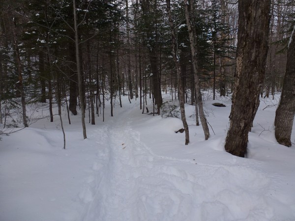
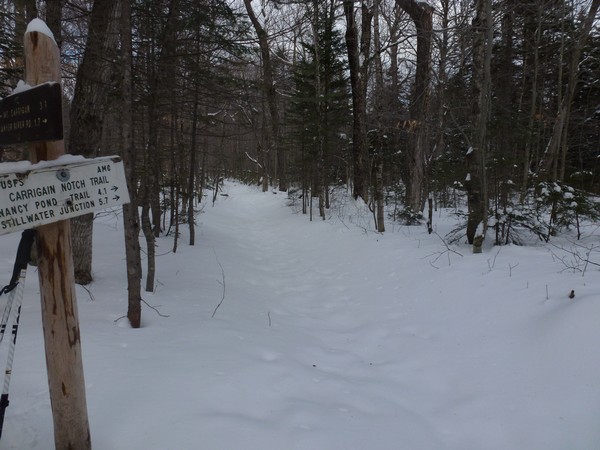
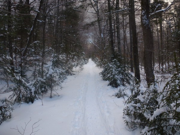
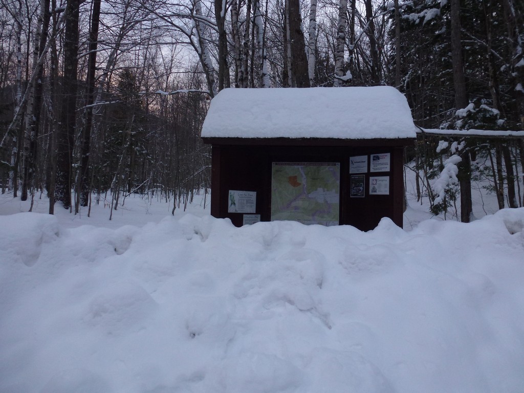
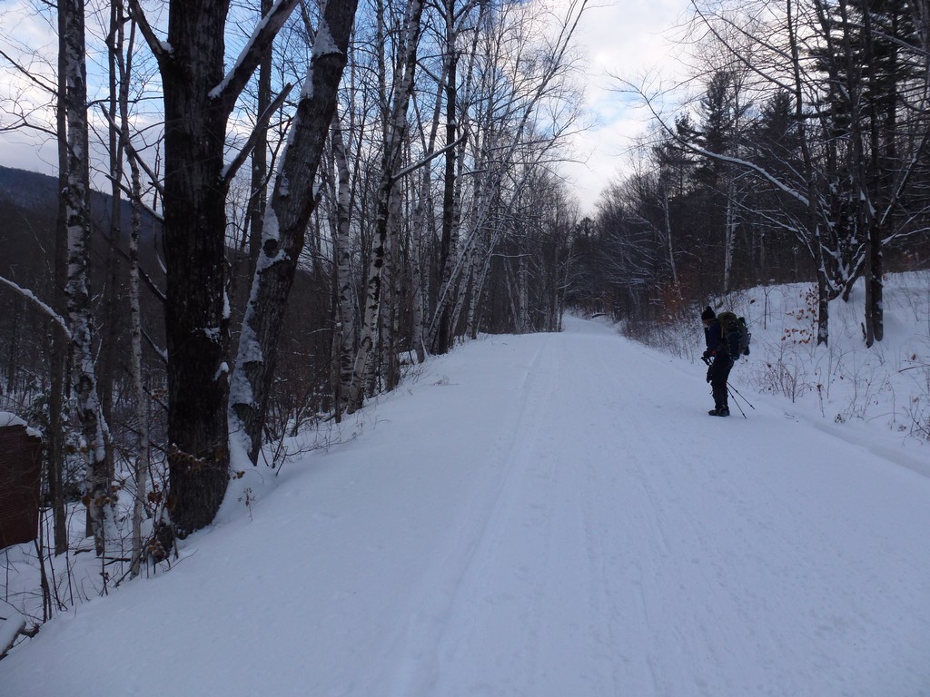
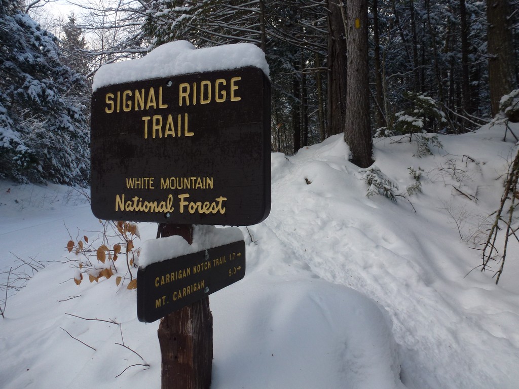
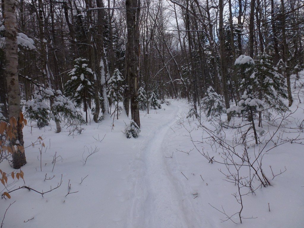
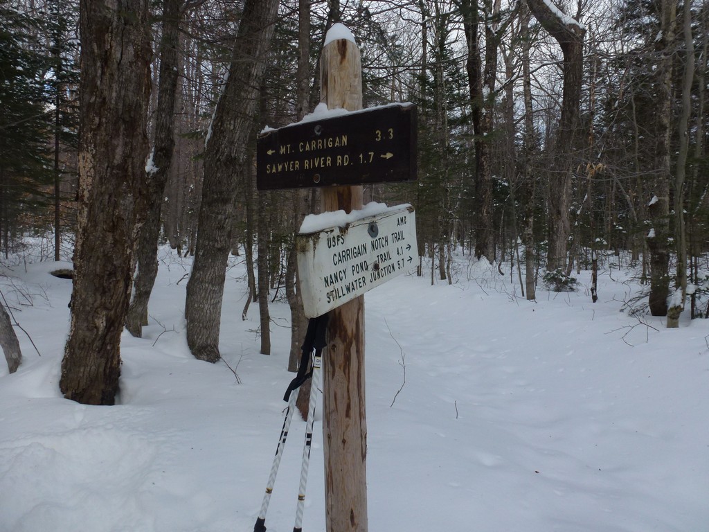
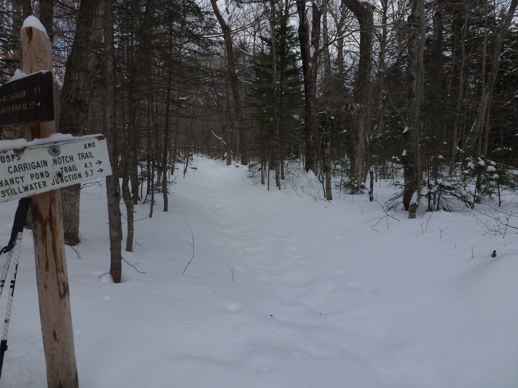
We made good time on the first leg of the hike up the Sawyer River Road and arrived at the Signal Ridge Trail a little after 830. The roadis used a lot my snowmobilers and it was well packed and easy walking. After a short pit stop there we started up the trail.
|
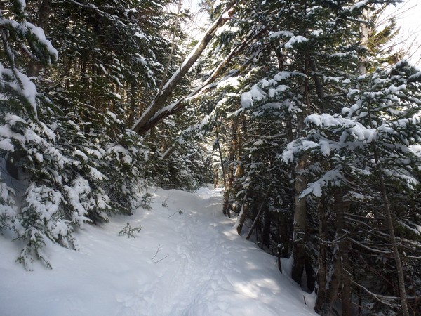
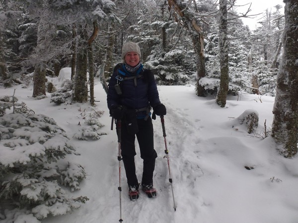
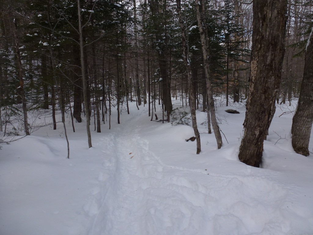
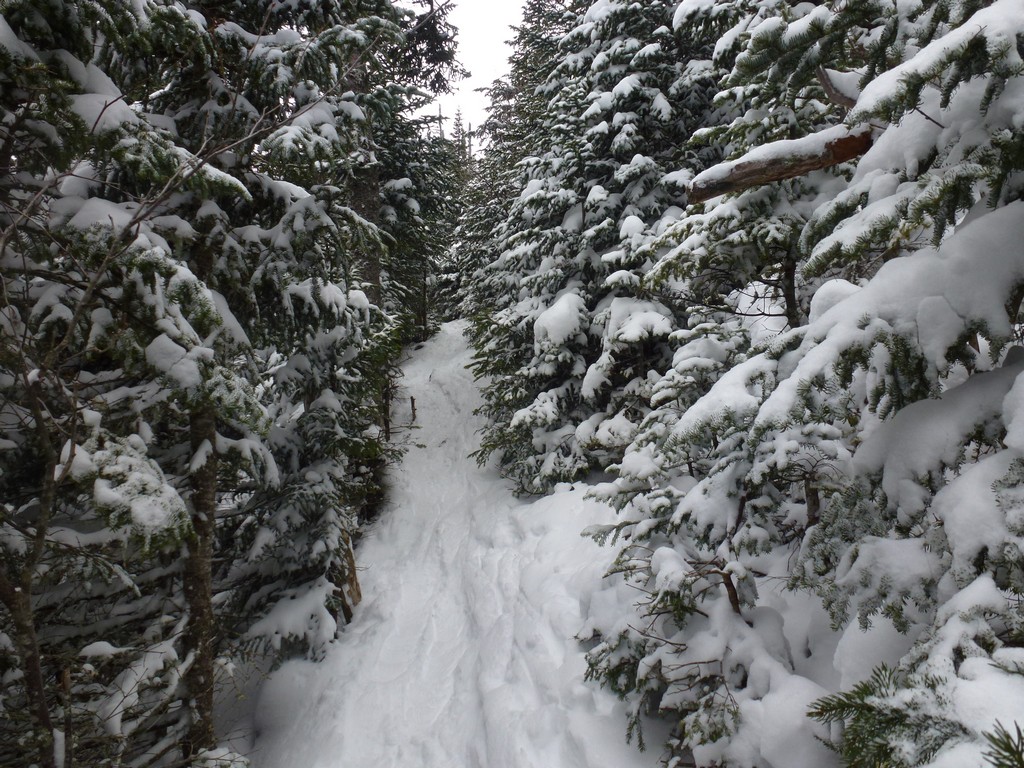
The trail was in pretty good shape as well. We knew that at least Alysia was ahead of us on the trail but there were a couple of other cars in the parking lot so there could be others. We had our snowshoes with us but we were just wearing our microspikes for traction.
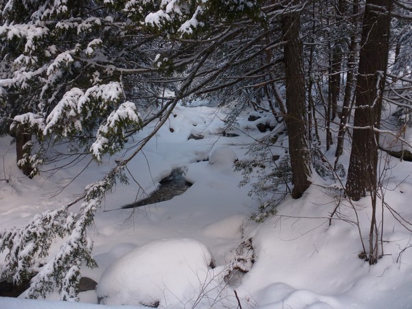
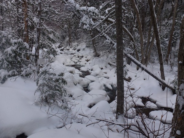
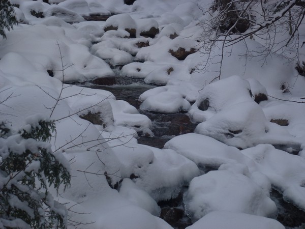
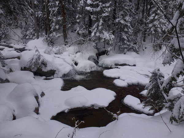
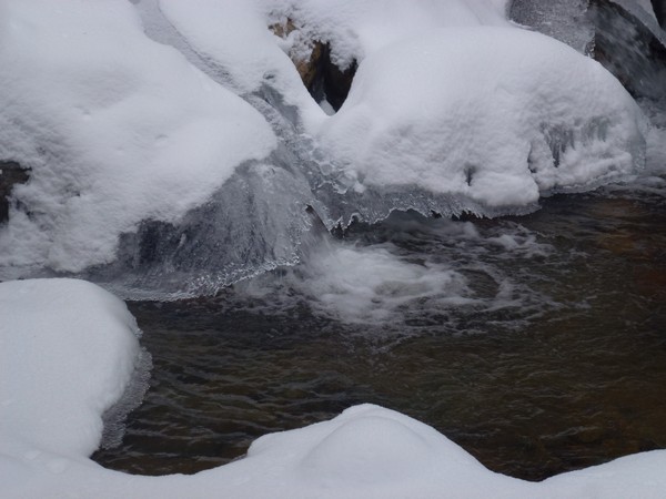
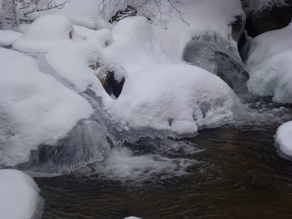
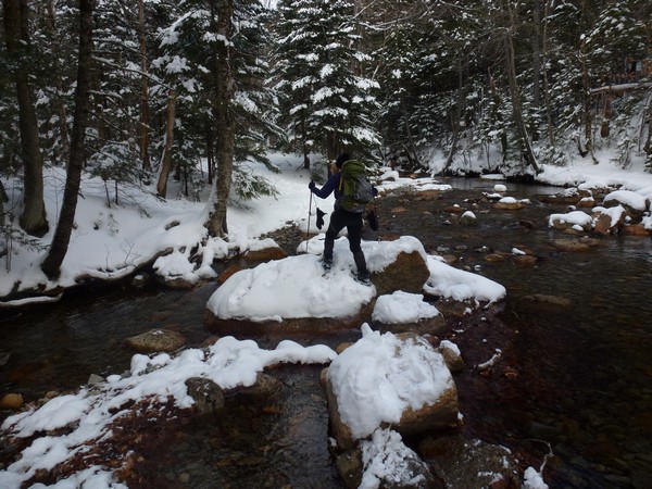
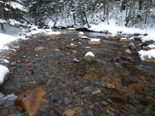
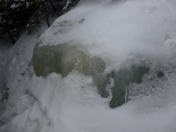
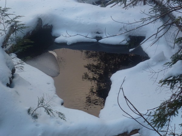
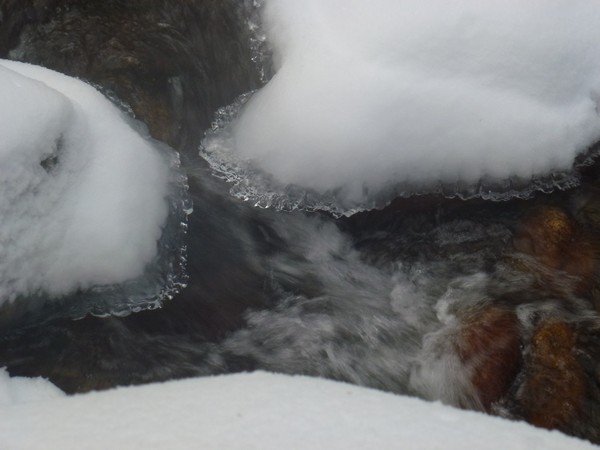
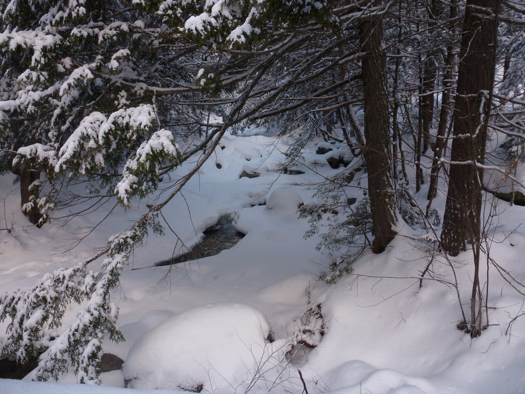
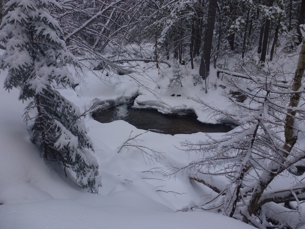
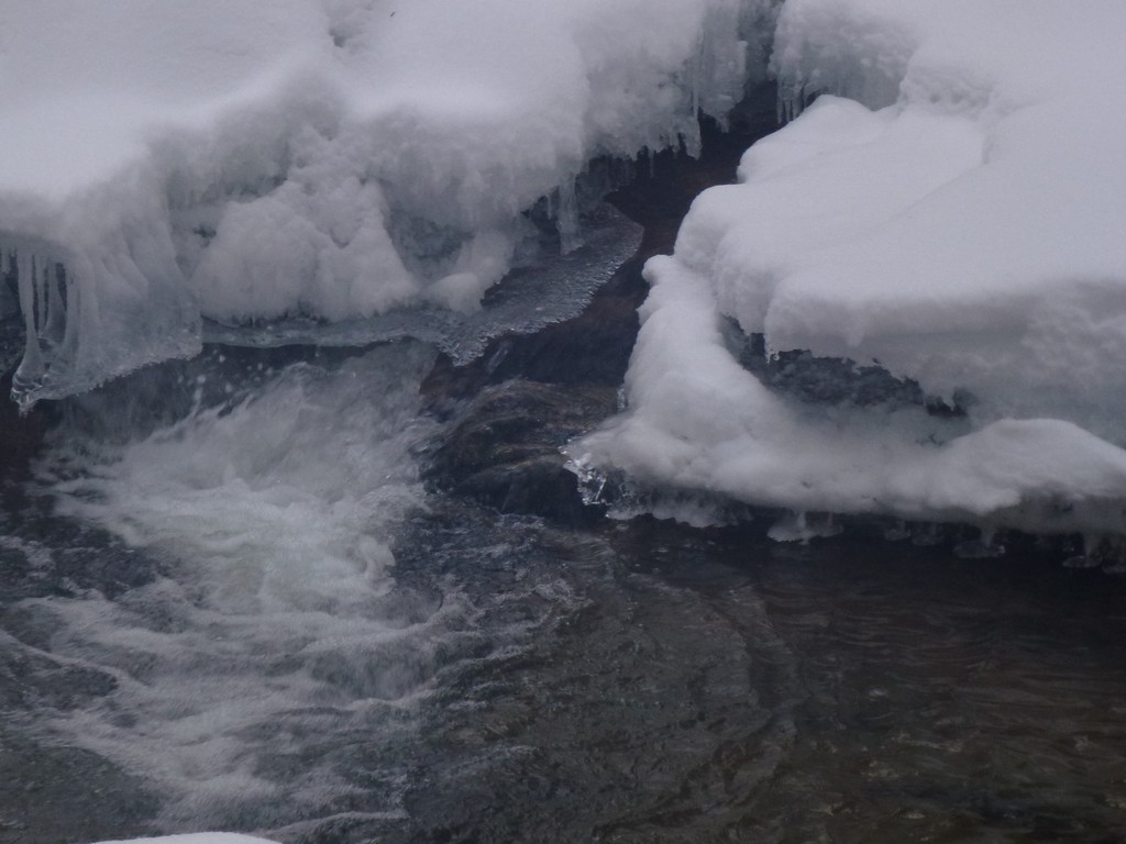
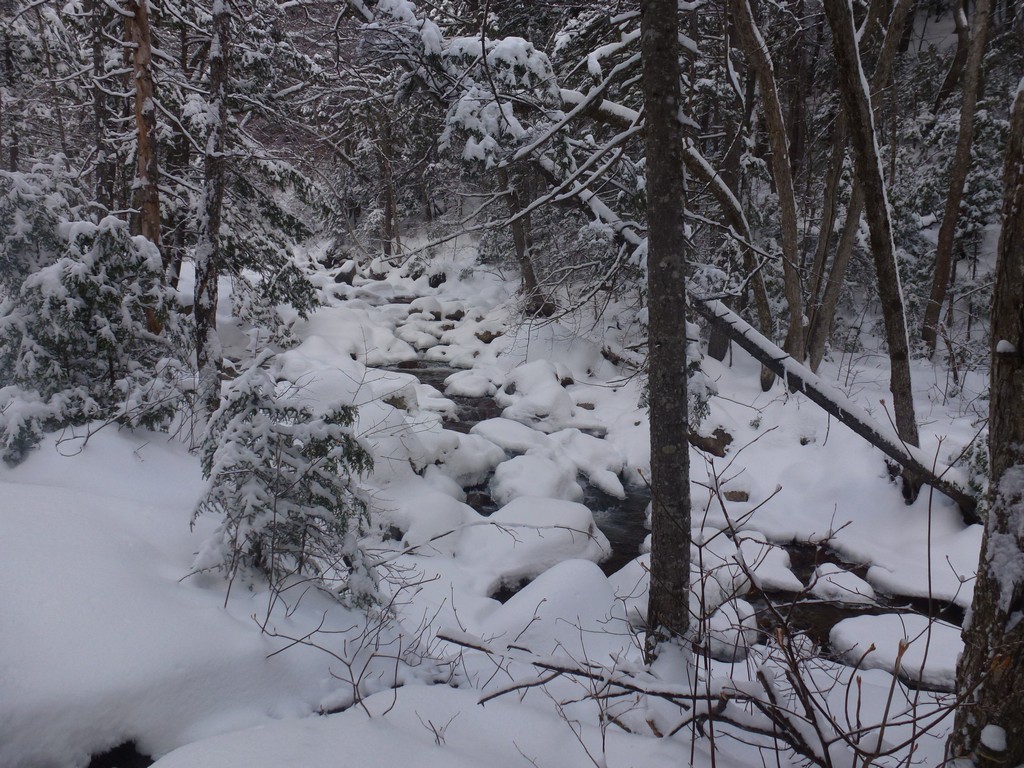
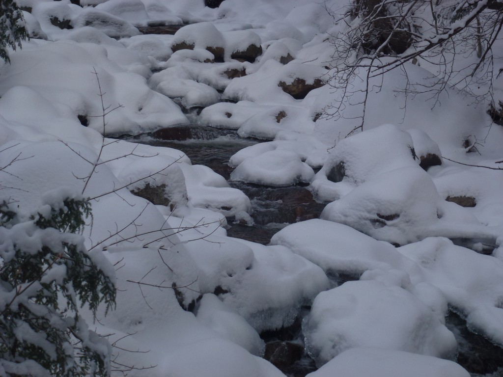
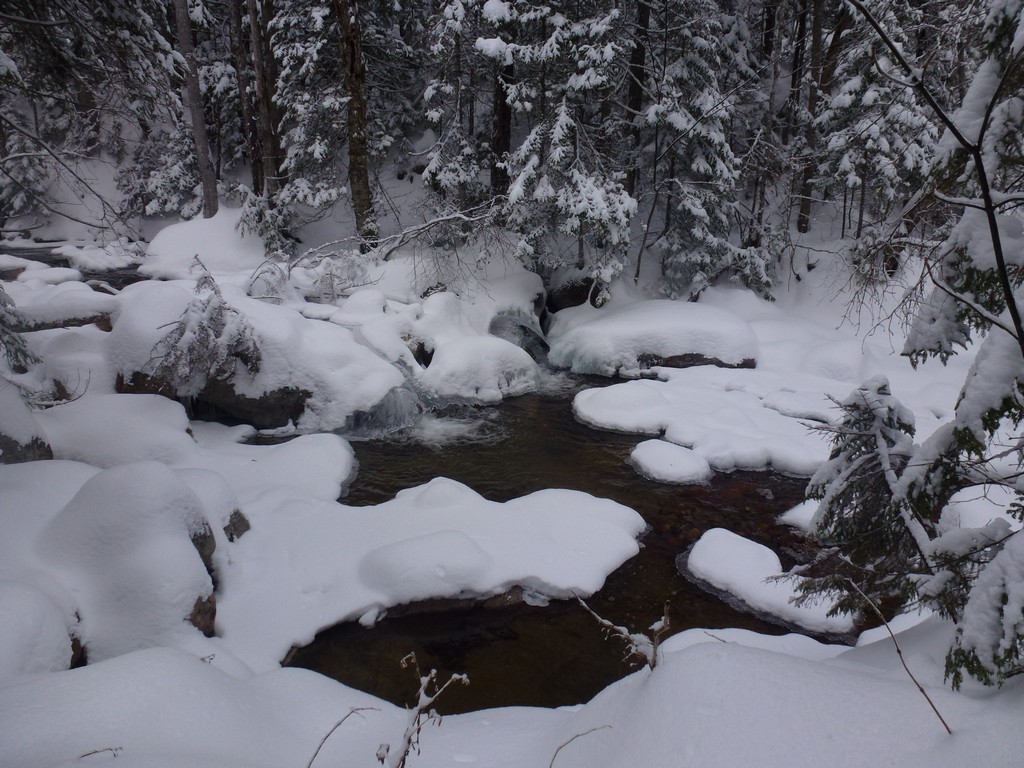
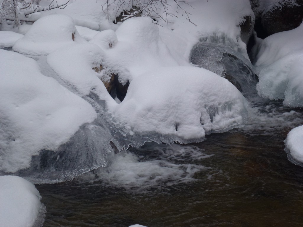
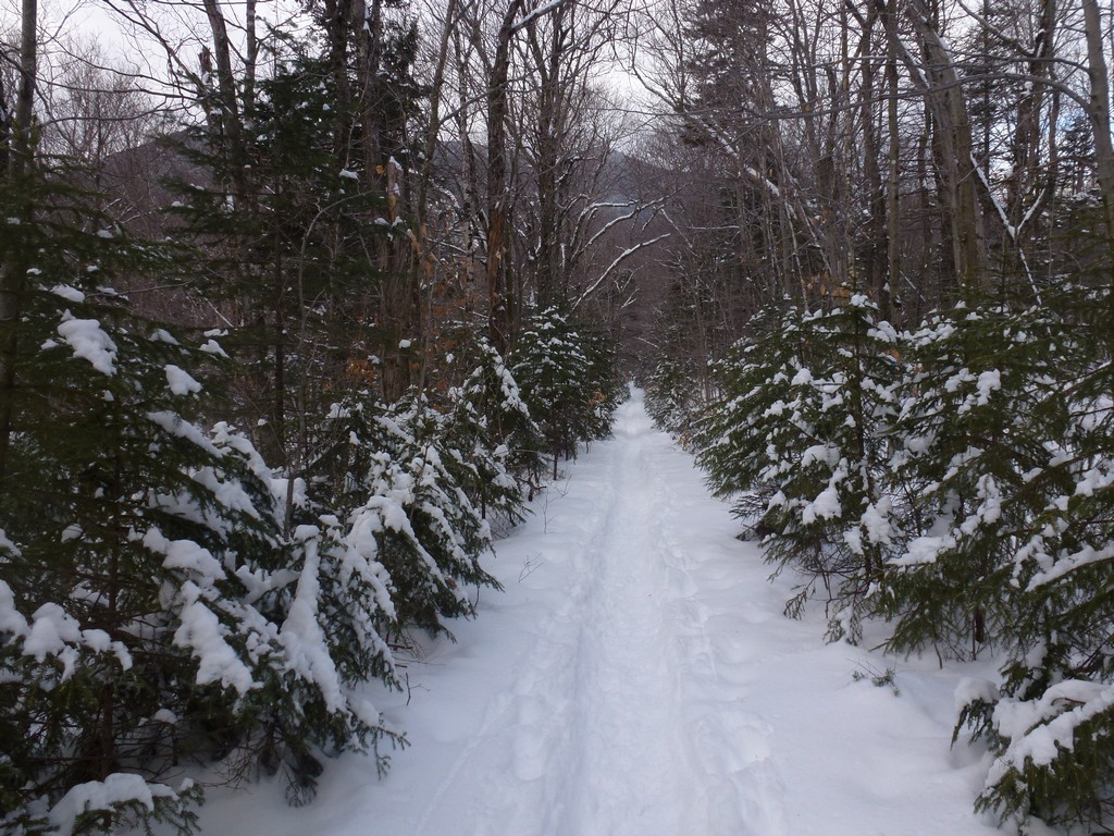
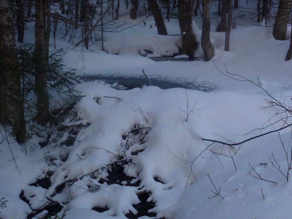
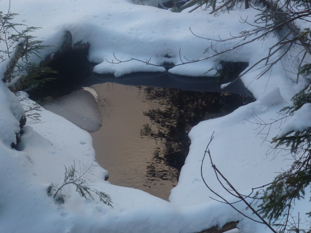
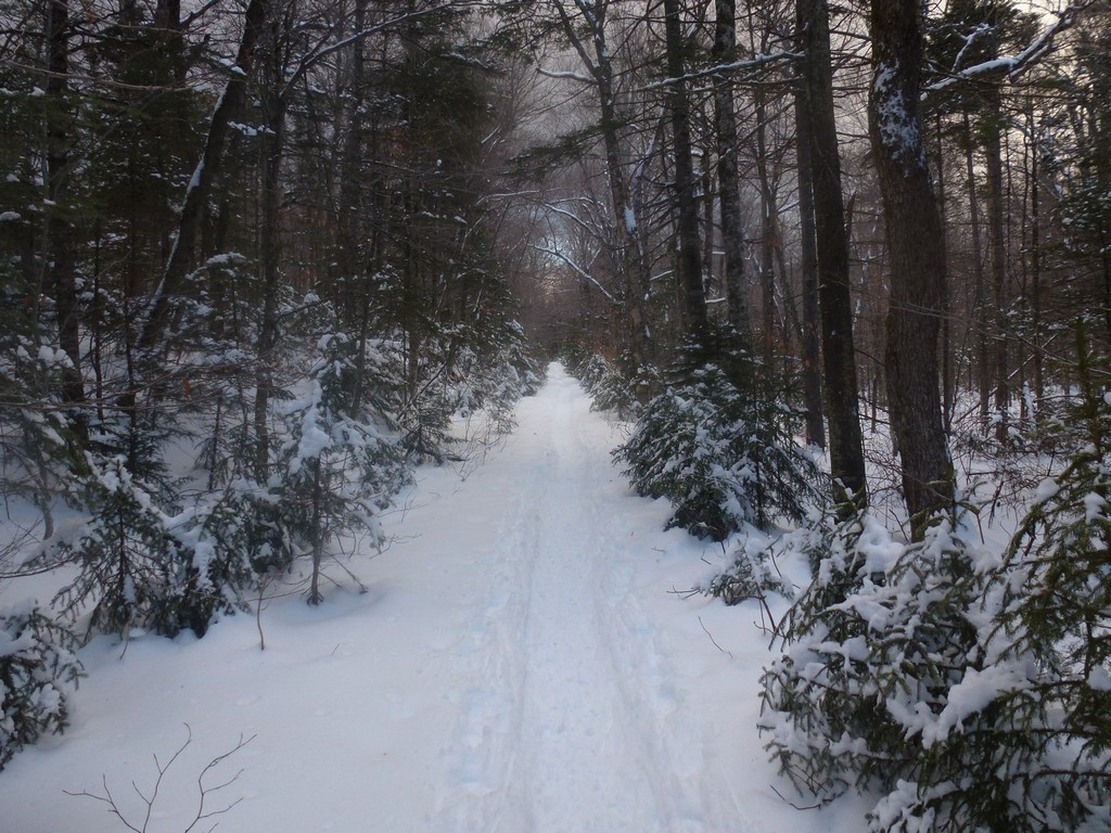
The hike along Whiteface Brook was very nice and we had some very nice views of it from the trail.
|
We had met some other people on the trail who told us we would not be needing snowshoes for the hike and that we would be fine with just microspikes so we decided to stash our snowshoes off the trail and pick them up on the way back. I set a waypoint in my GPS for the stash site to make sure we could find them on the return trip.
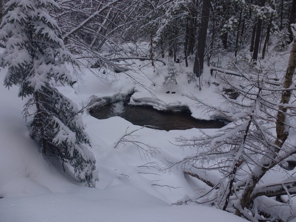
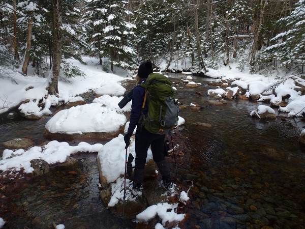
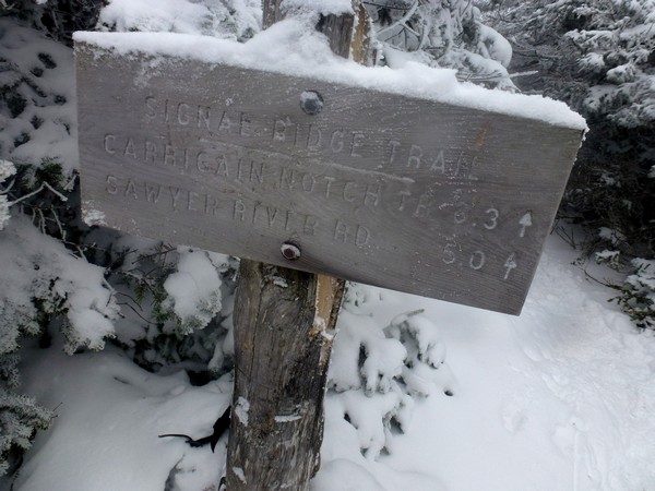
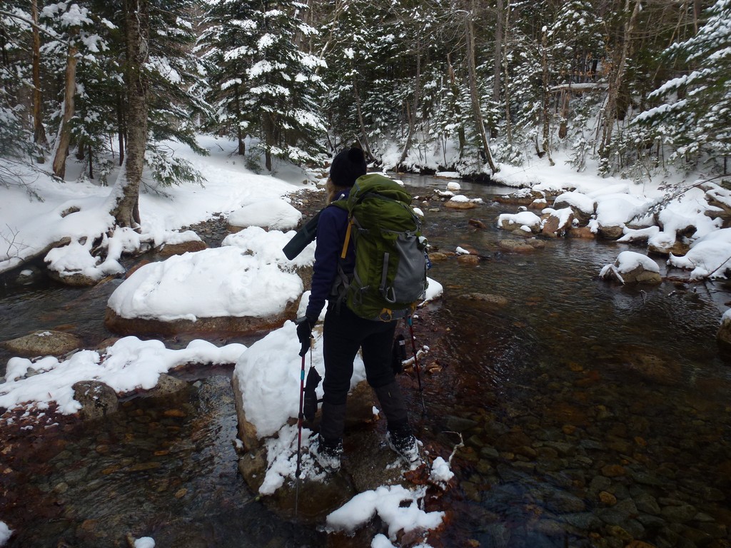
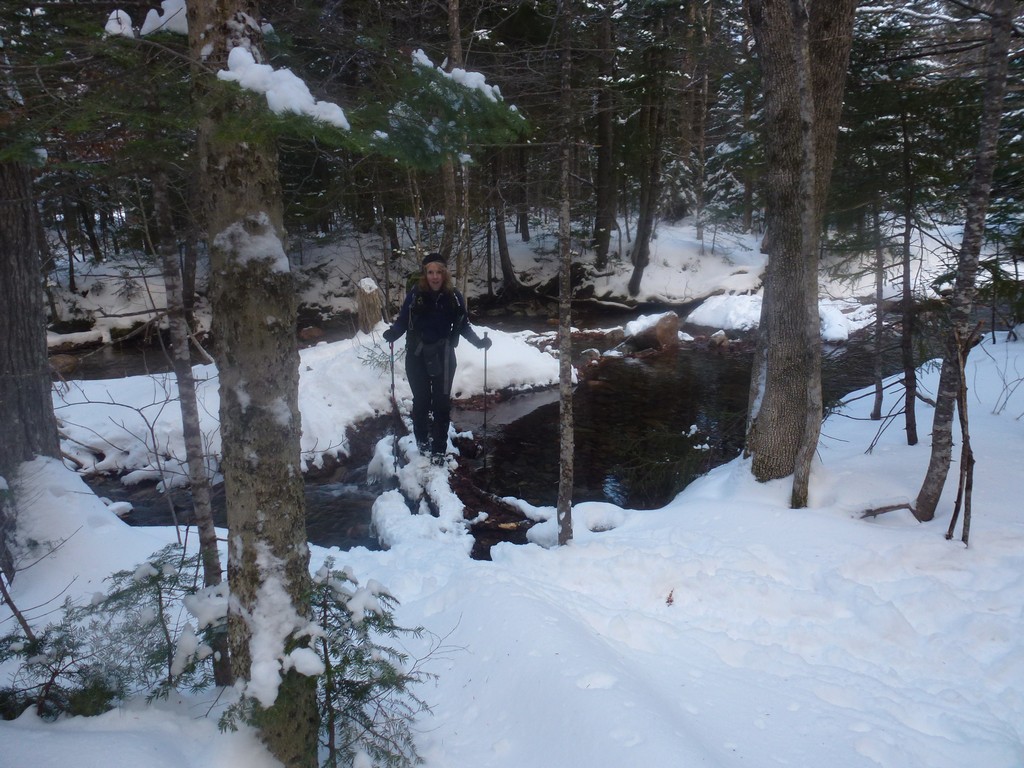
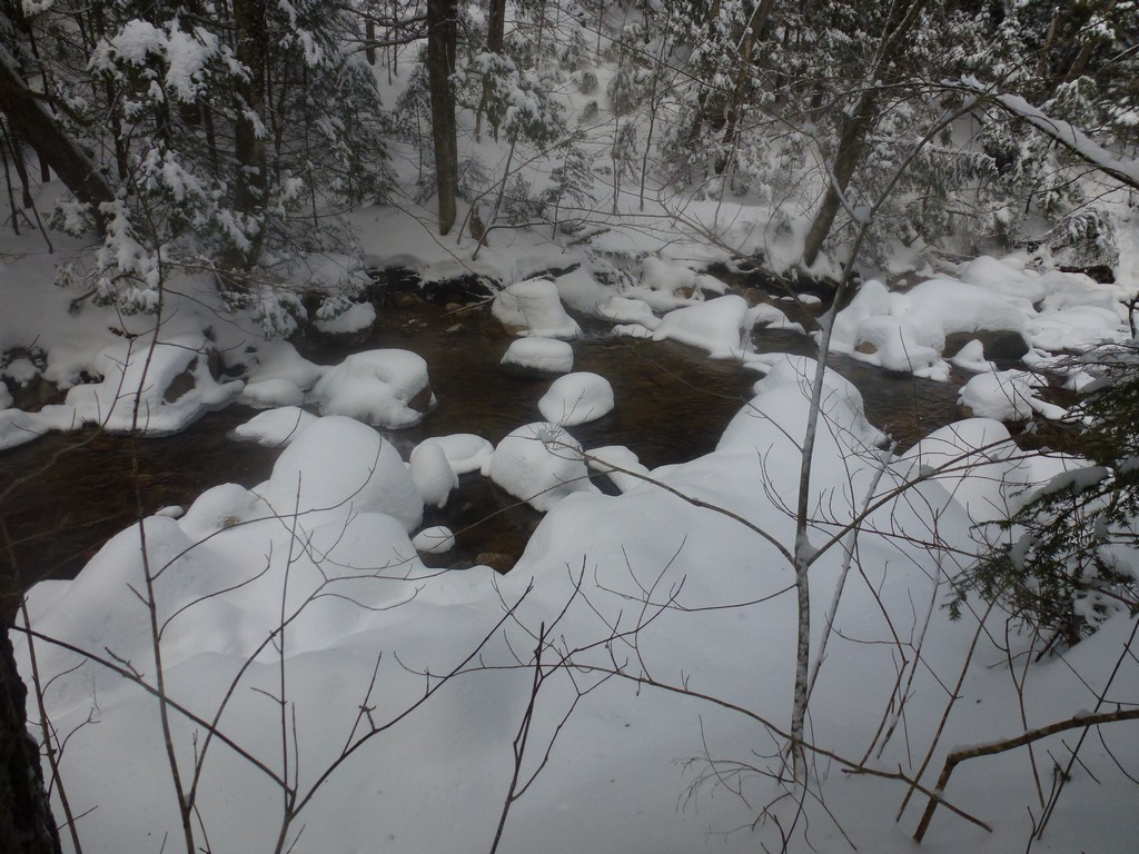
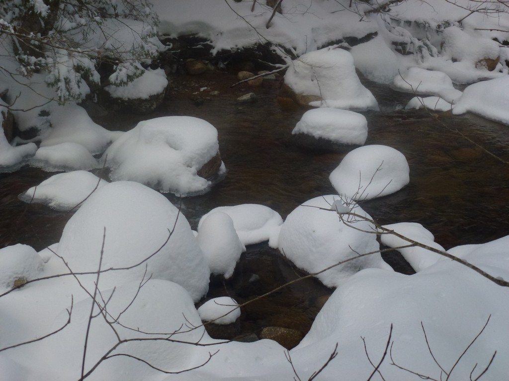
Shortly after the stash point we ended up crossing Carrigain Book and we were getting closer to the point where the Carrigain Brook Trail and the Signal Ridge Trail would diverge. The hiking along the lower portion of the Signal Ridge Trail was very easy with very little in the way of elevation gain. I knew that would change dramically after this junction.
|
It took us just about an hour to cover the distance from the trailhead to the Carrigain Notch junction and now the real work of the hike would begin. We already had almost 4.5 miles behind us and we still had almost 3 miles to go to the summit of Mount Carrigain.
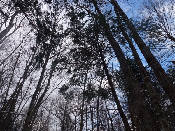
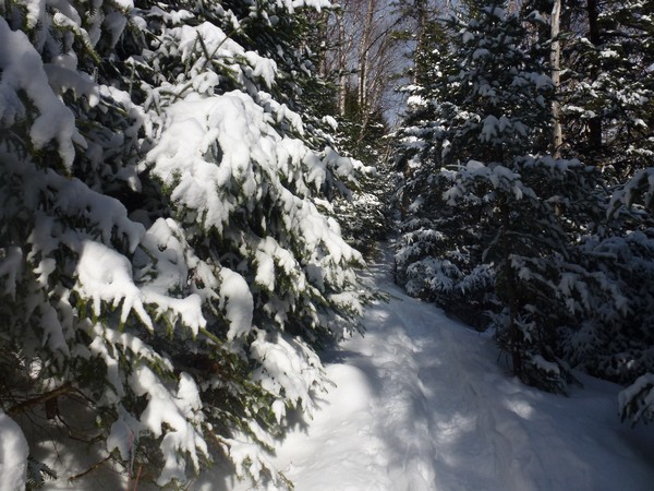
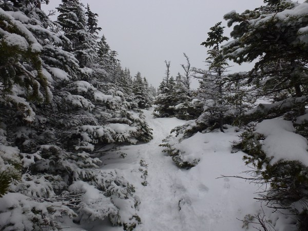
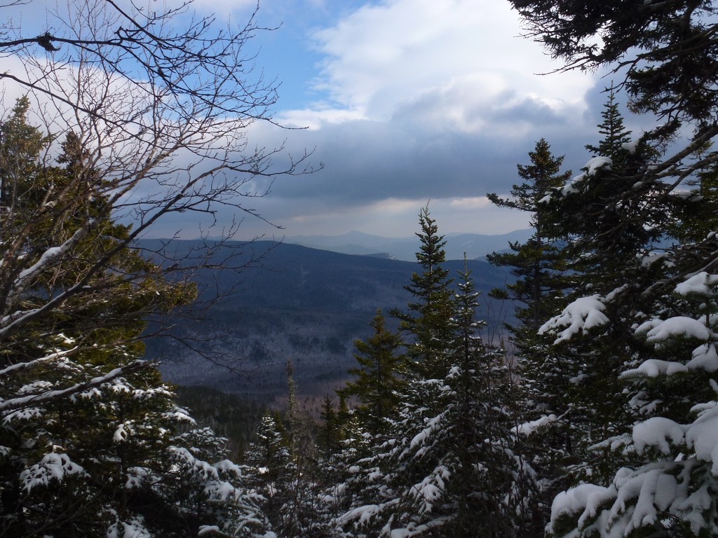
We were happy to see some breaks in the clouds during this next section of the hike and we were hoping the clouds would clear so that we would have some nice views from the top of Carrigain.
|
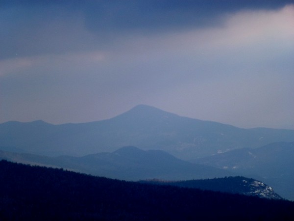
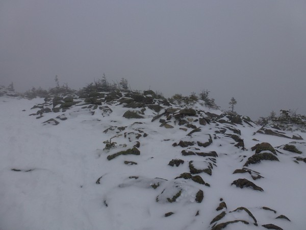
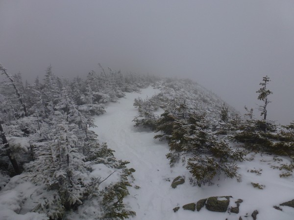
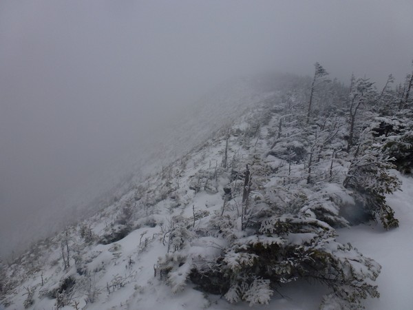
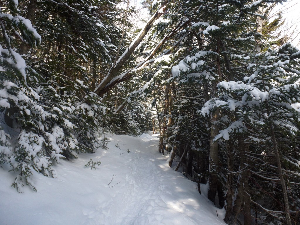
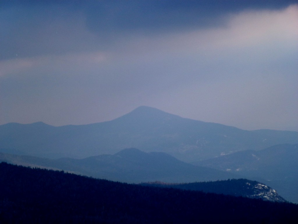
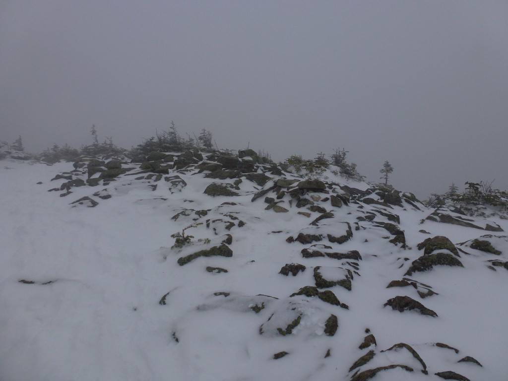
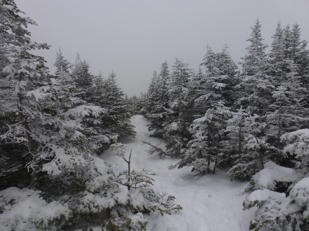
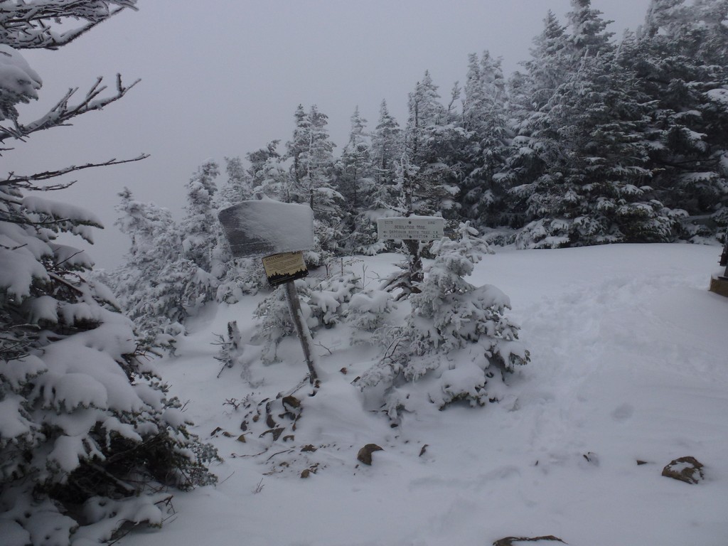
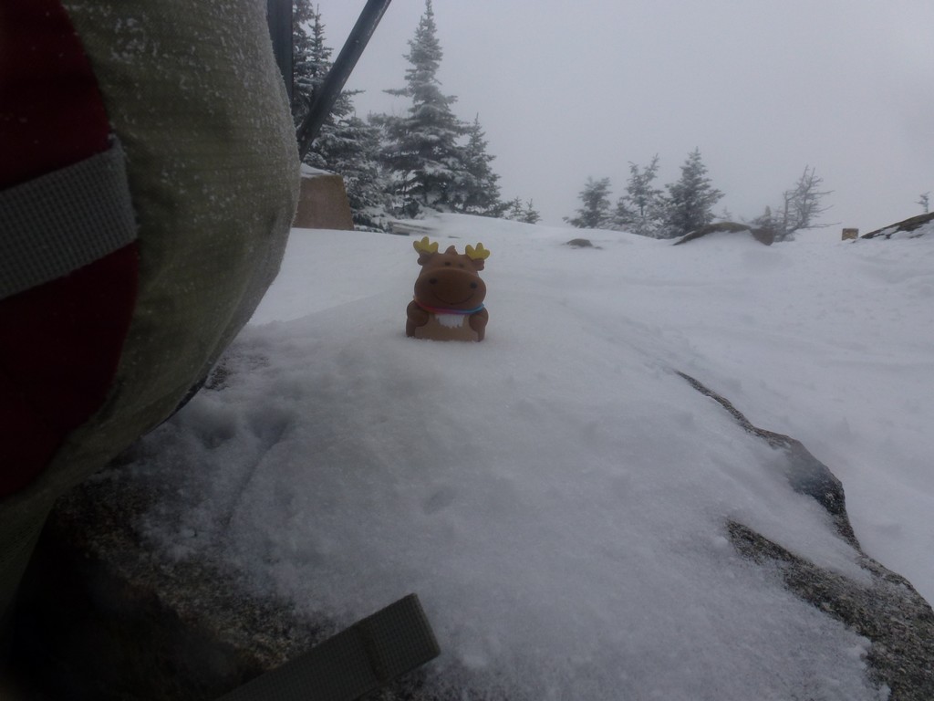
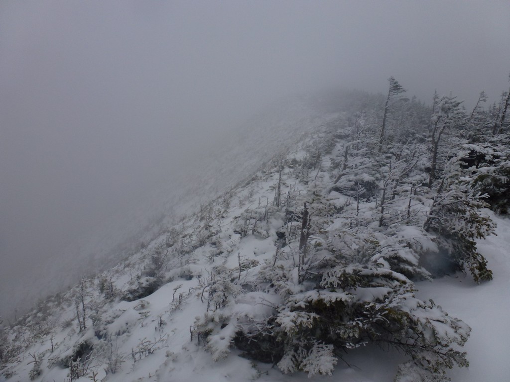
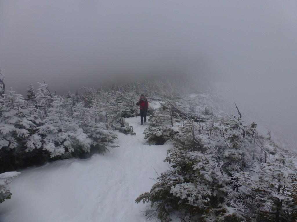
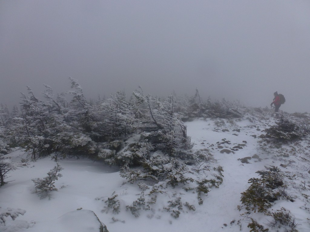
We managed to have a few nice views through breaks in the trees but the sunshine didn't last long. Either that or we climbed above the break and into the clouds. By the time we reached Signal Ridge everything was completely socked in and there was no view at all and it was very desolate looking up there.
|
As we approached the final climb to the summit of Carrigain we met Alysia coming down. She probably had about 30 minutes on us and said that it was very cold and very windy on top of Carrigain. She tried waiting around a while up there herself hoping for a break in the clouds that never came and was glad to finally leave.
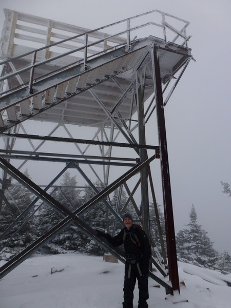
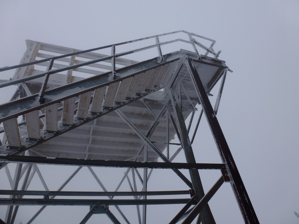
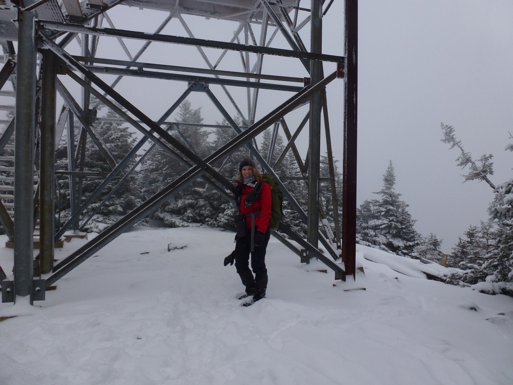
Linda and I continued on to the summit and were up there in less than 10 minutes. There was nothing much to see though, apart from the lookout tower, so we didn't stay long. We didn't even bother climbng the tower since it was so cold and so windy and there was nothing to see anyway.
|
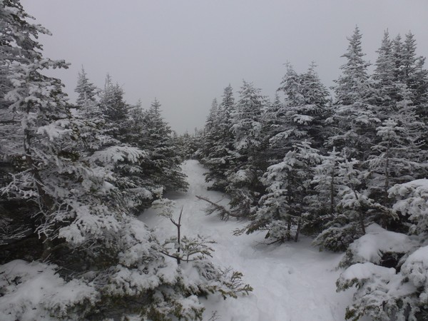
On the hike back down the clouds along the ridge had thickened and it was even more desolate looking than it had been during the hike up.
|
We made good time and were quite literally flying back down the trail in places. One thing I really enjoy about winter hiking is how fast you can go down some of these trails when you don't have to worry about rocks and roots and can just slide down some of the steeper sections. Alysia had her little sled with her and we could see that she had been using it quite a bit as the trail had been smoothed out completely. I had hoped we might be able to catch up with her on the way down but if she was using the sled it didn't seem likely.
We made great time though and we were back at the Carrigain Book crossing just a little before 3:00. We met some more people to talk to who were coming up late in the day at the start of a backpacking trip. We lost track of time and location and somehow we forgot about where the snowshoes were stashed and by the time I checked the GPS we were already about 1/4 mile beyond them. I dumped my pack where we were and went back on my own to fetch them.
It was getting dark already by the time we reached Sawyer River Road and it was a long, hard slog from there back to the parking area. The road just seemed to never end. It was just a little before 5:00 and quite dark by the time we got back to the parking area.
|
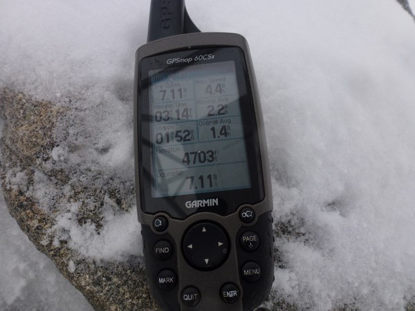
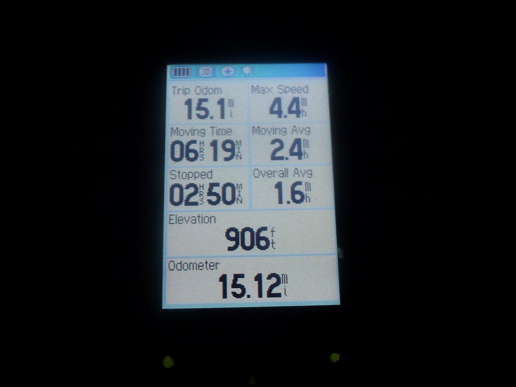
It had been a long day at 15 miles and 3,800 feet of elevation gain. It was a productive day though and a productive weekend and I got winter peaks #40 and #41 out of it. Only 7 more to go!
|
|
|---|
|
|---|


