|
Day hiking on Welch & Dickey Mountains |
|---|
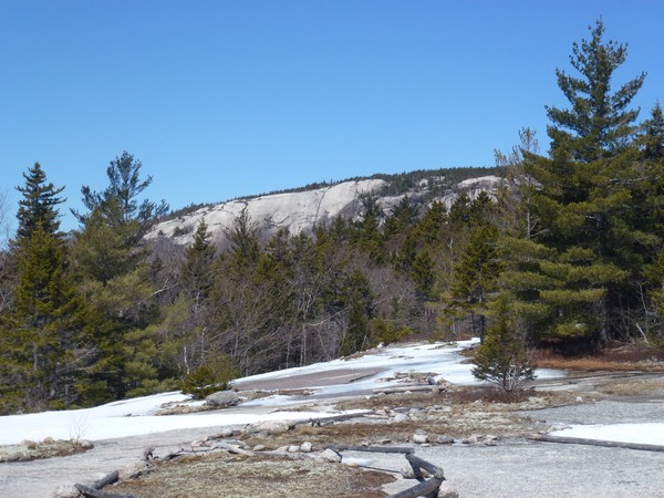
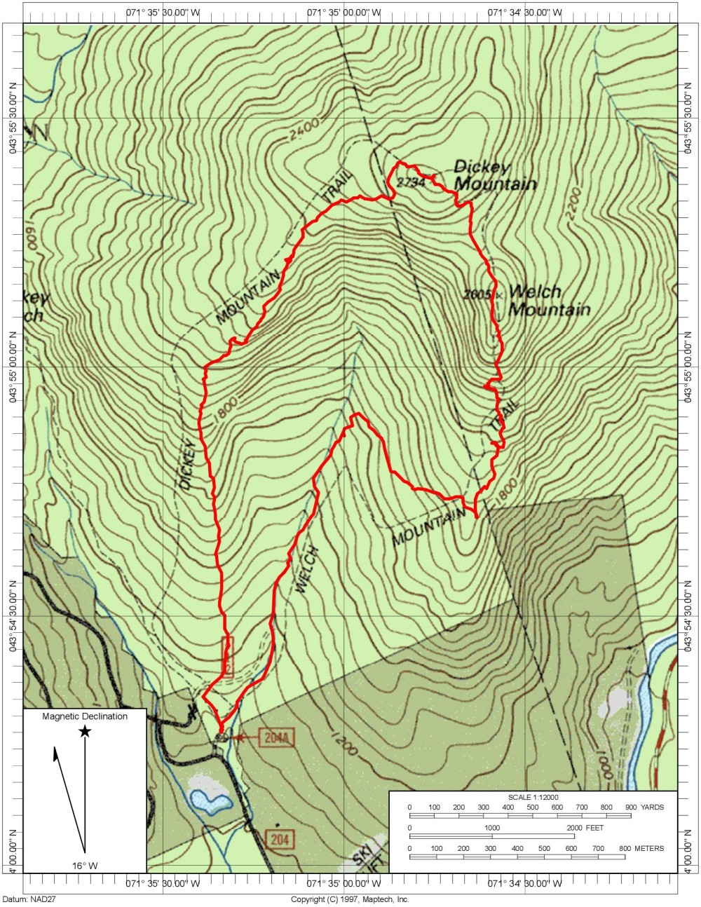
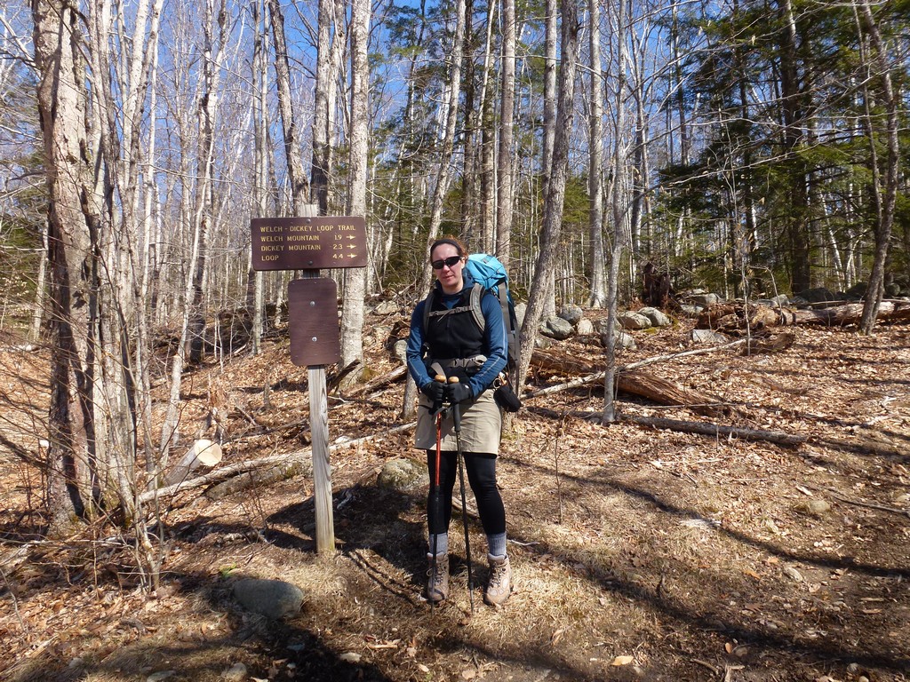
This day hike started at the parking lot for the Welch-Dickey Loop Trail off of Orris Road in Thornton, New Hampshire. We did the hike counter-clockwise and from the parking lot we took the Welch-Dickey Loop Trail fist to the the summit of Welch Mountain and then to the summit of Dickey Mountain. From Dickey we continued down the loop trail along the ridge on the southwest side of the mountain back to the parking area.
|
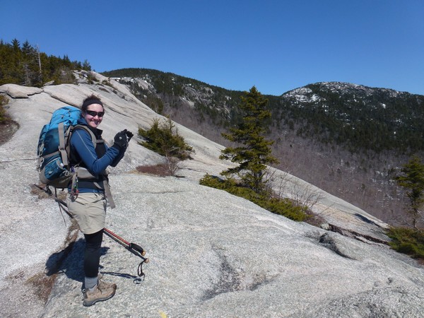
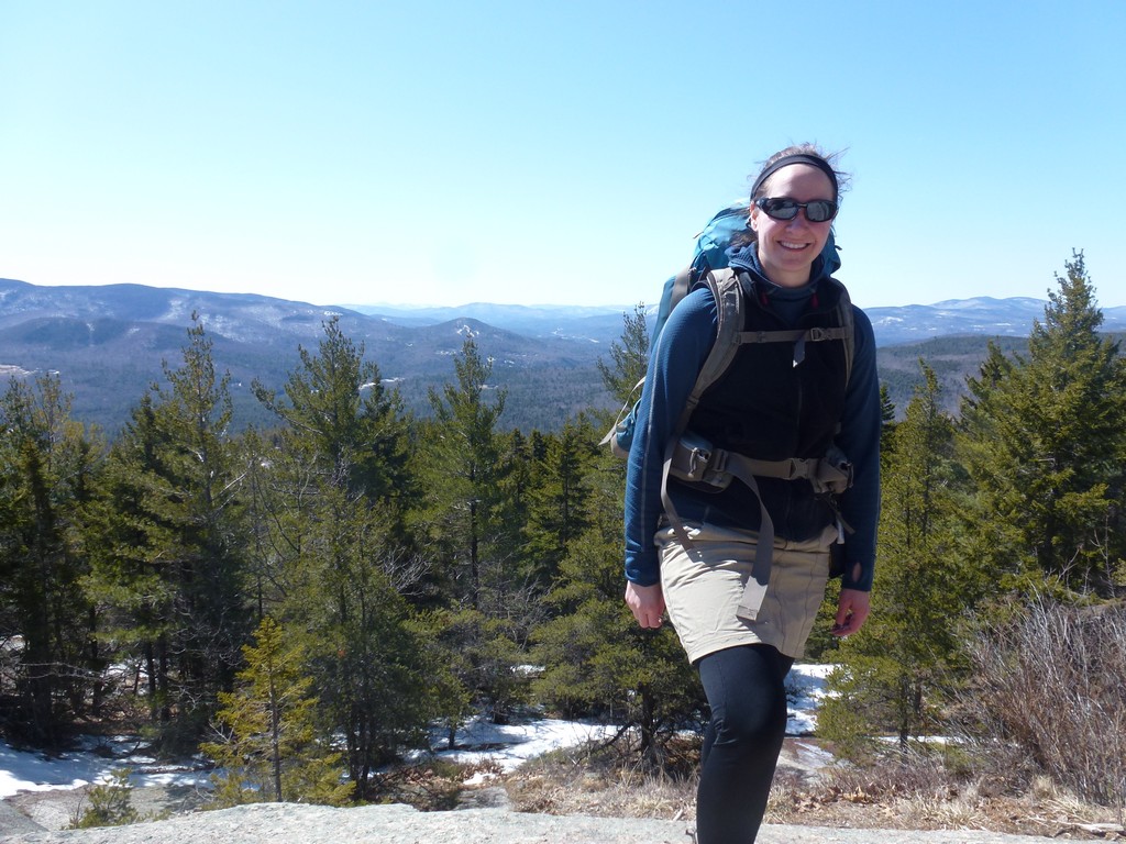
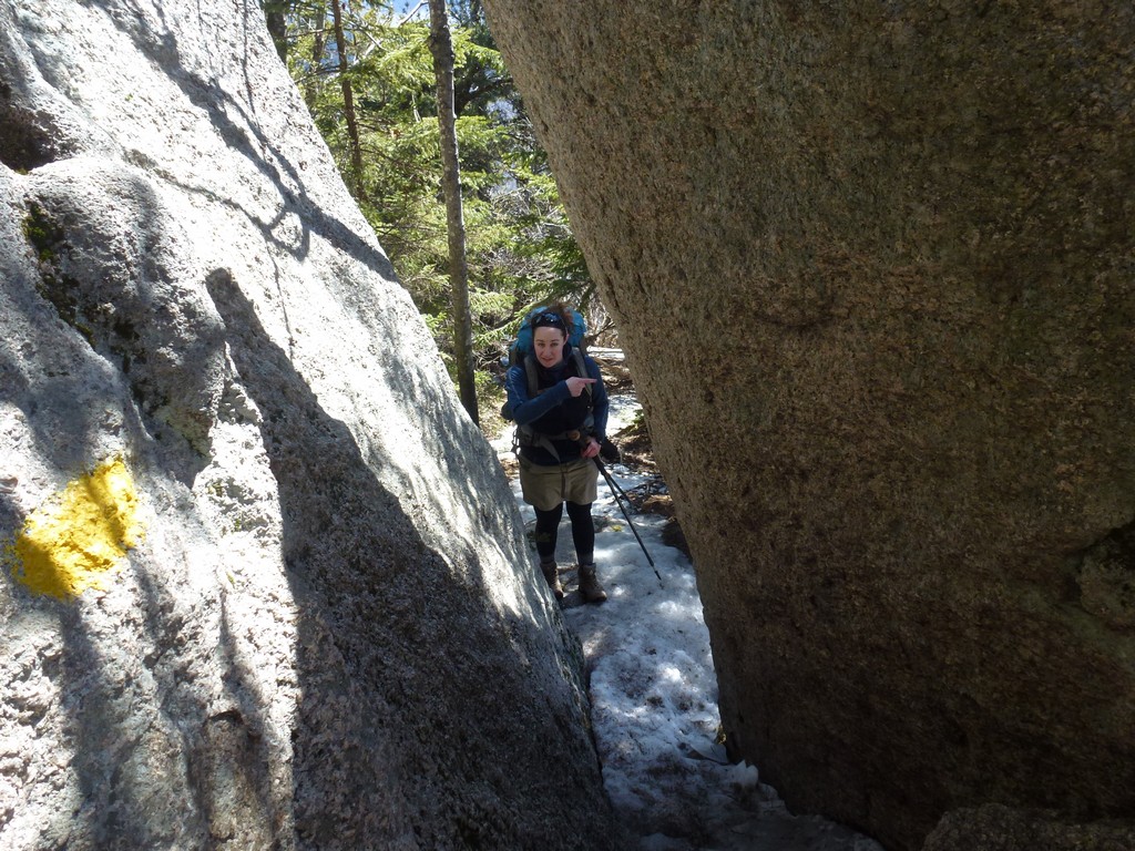
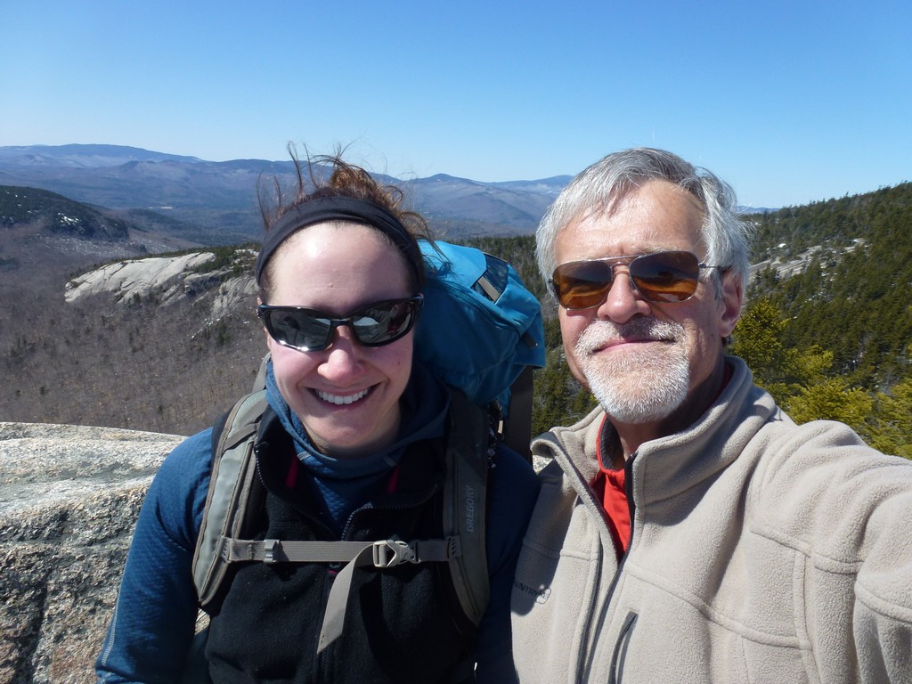
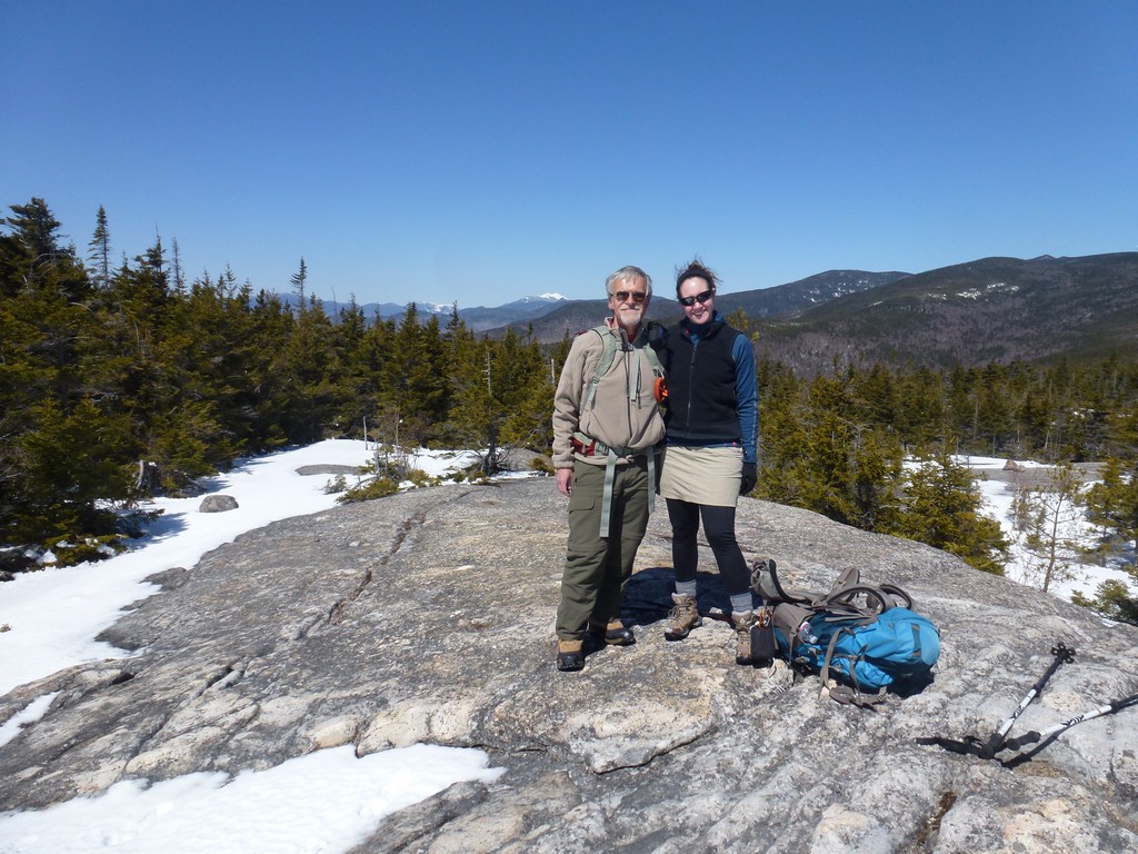
This was another warm up hike for the upcoming Grand Canyon backpacking trip at the end of April. I was accompanied by my hiking buddy Pam on this one and the choice of the hike was actually her idea. She had gone with me on another Grand Canyon backpacking trip the previous year and would also be joing me on the one coming up.
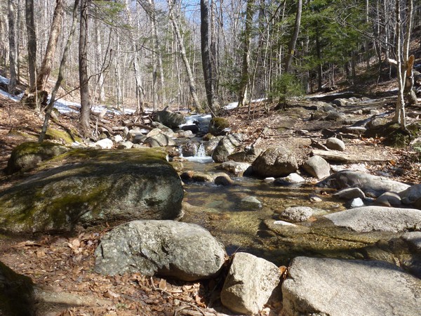
This hike started at the parking area for the Welch-Dickey Loop Trail in Thornton. We got a very late start for this one but it was a short hike and that was not a problem. There was no snow at the bottom of the mountain but we were expecting some higher up. We didn't figure it would be a lot though so we didn't both bringing snowshoes.
|
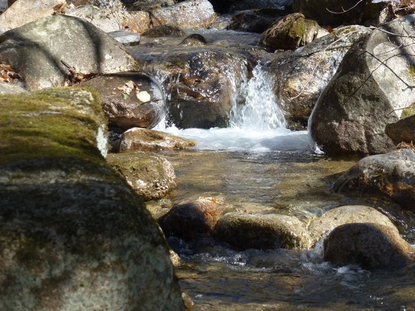
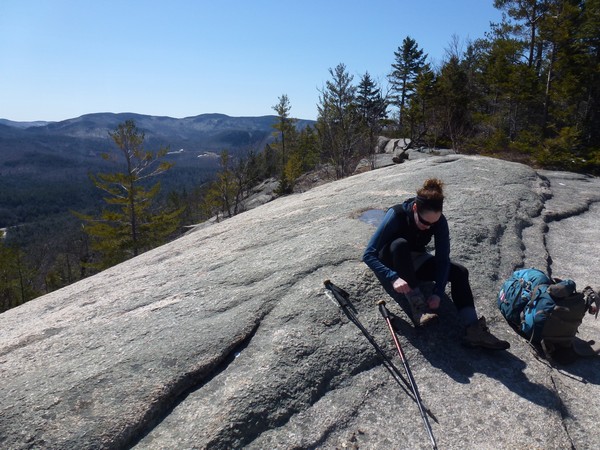
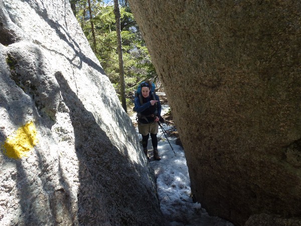
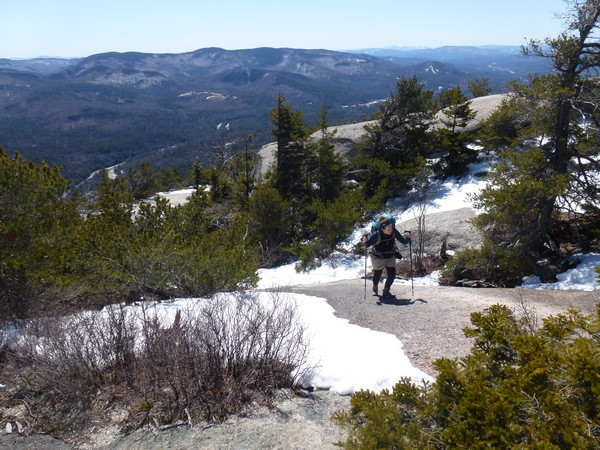
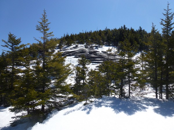
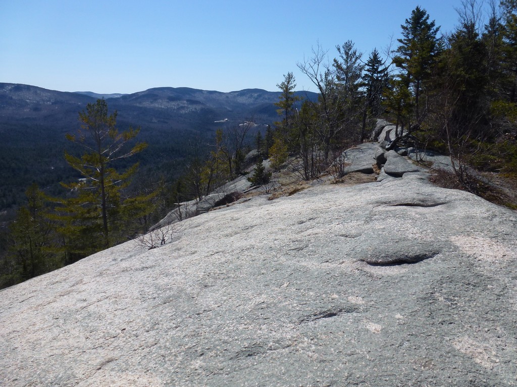
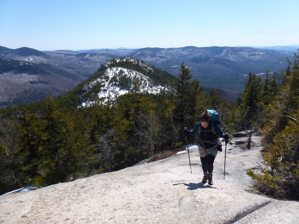
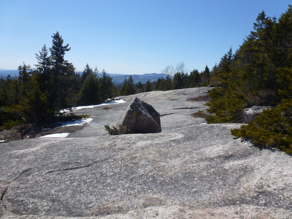
The lower part of the hike was easy and snow free climbing at a moderate grade up to the ledges below the summit of Welch Mountain. The ledges were the first place that we encountered snow and this was spotty and not very deep in most place. There were a couple of places where it was a little deeper but it did not take long to cross any of these sections and get back to bade rock. Some of the ledges climbing up towards the summit are very steep and it's definitely not someplace where you would want to slip as you could be in for a very long tumble before anything would stop you.
|
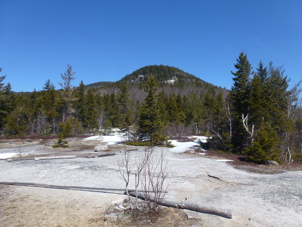
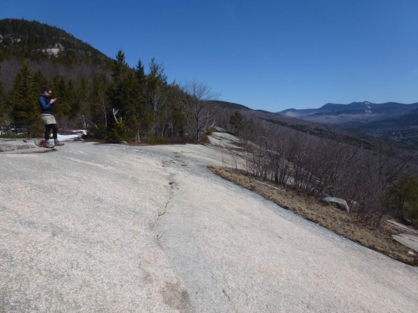
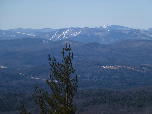
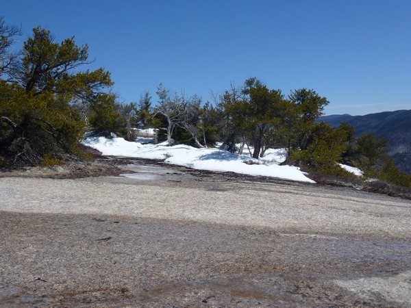
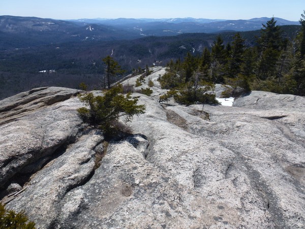
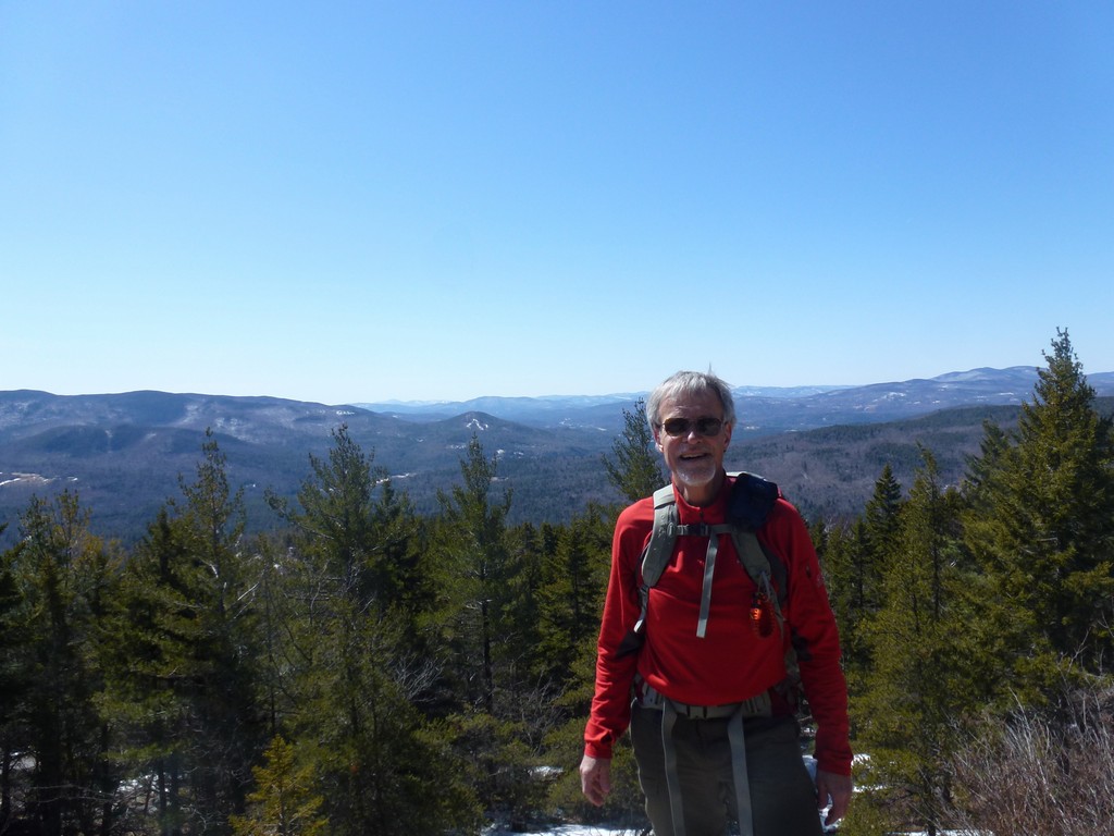
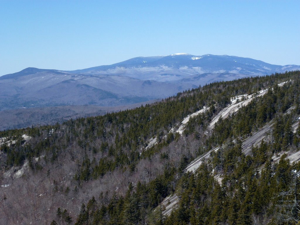
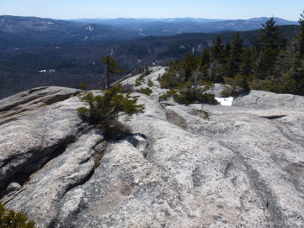
It took about anouther hour of climbing on the ledges to get to the summit of Welch Mountain and the views from the ledges were outstanding. We had a beautiful early spring day for this hike and it was nice and sunny with a deep blue sky and not too cold with hardly any wind.
|
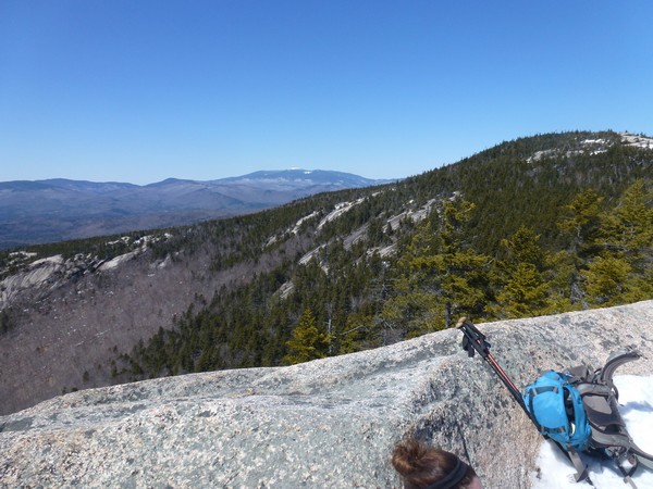
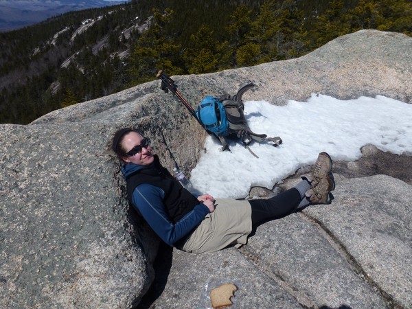
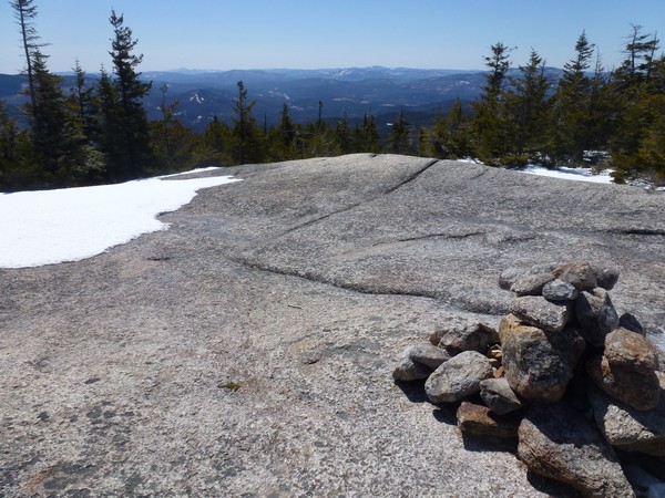
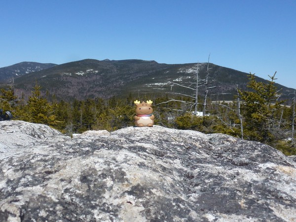
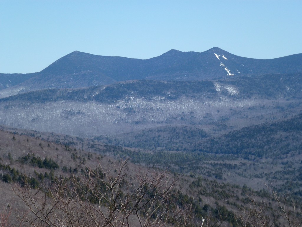
We took a short break on top of Welch Mountin to eaat our lunches before continuing on to Dickey Mountain. It was nice to be able to enjoy a peanut butter and jelly sandwhich again without worrying about the jelly freezing solid during the hike up. The views from the top of Welch Mountain were fantastic.
|
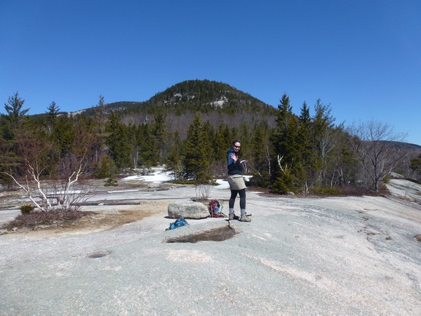
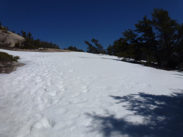
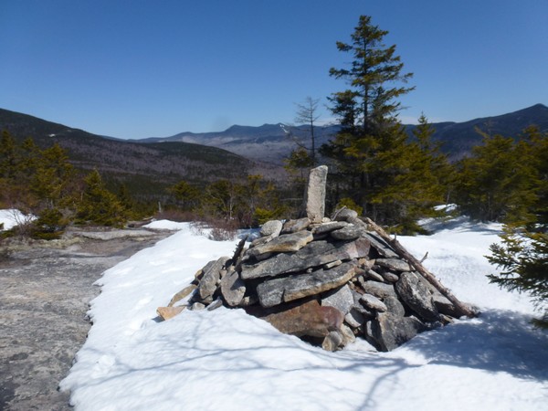
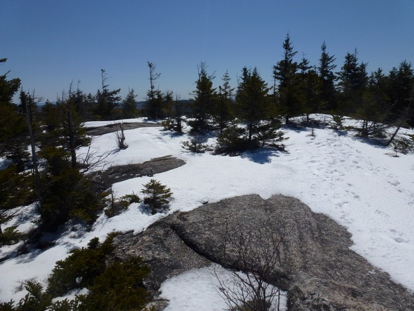
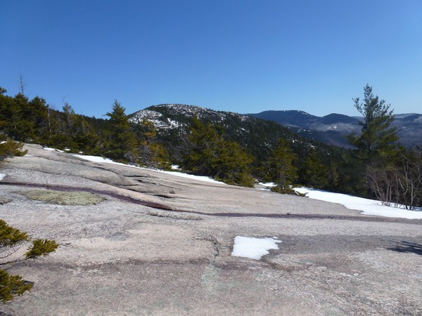
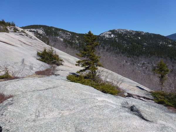
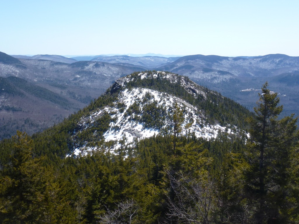
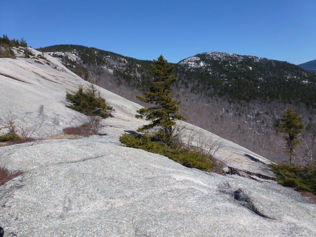
There was a downclimb of about a hundred feet or so coming off of Welch Mountain before we started climbing Mount Dickey and in this space between the peaks was where we encountered the most snow. It still was not a lot and was only a small patch but it was the deepest patch. There was also quite a bit of snow on top of Dickey Mountain in many large patches but this was not very deep.
|
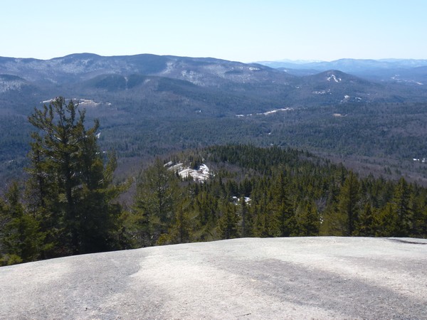
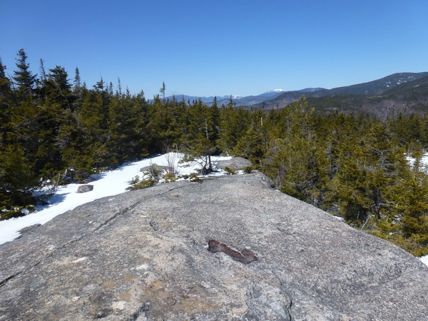
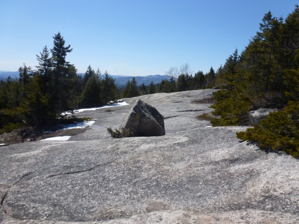
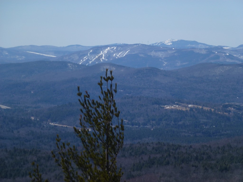
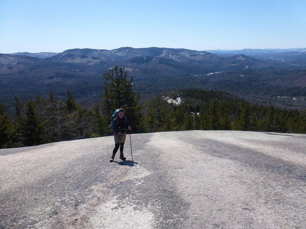
We didn't spend much time on top of Dickey Mountain at all before starting down. We just wandered around on the summit a bit and took some photos.
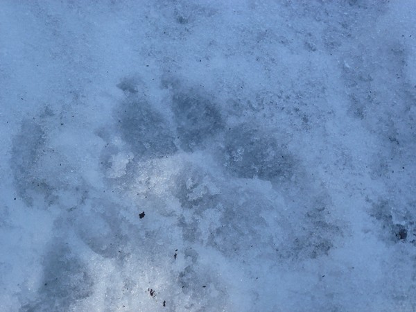
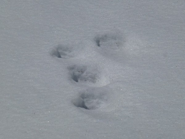
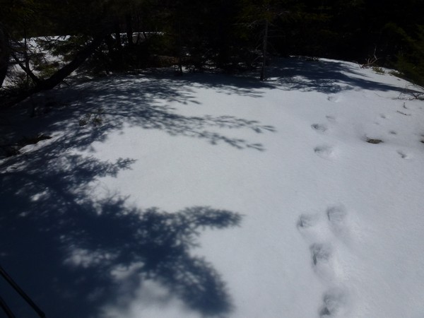
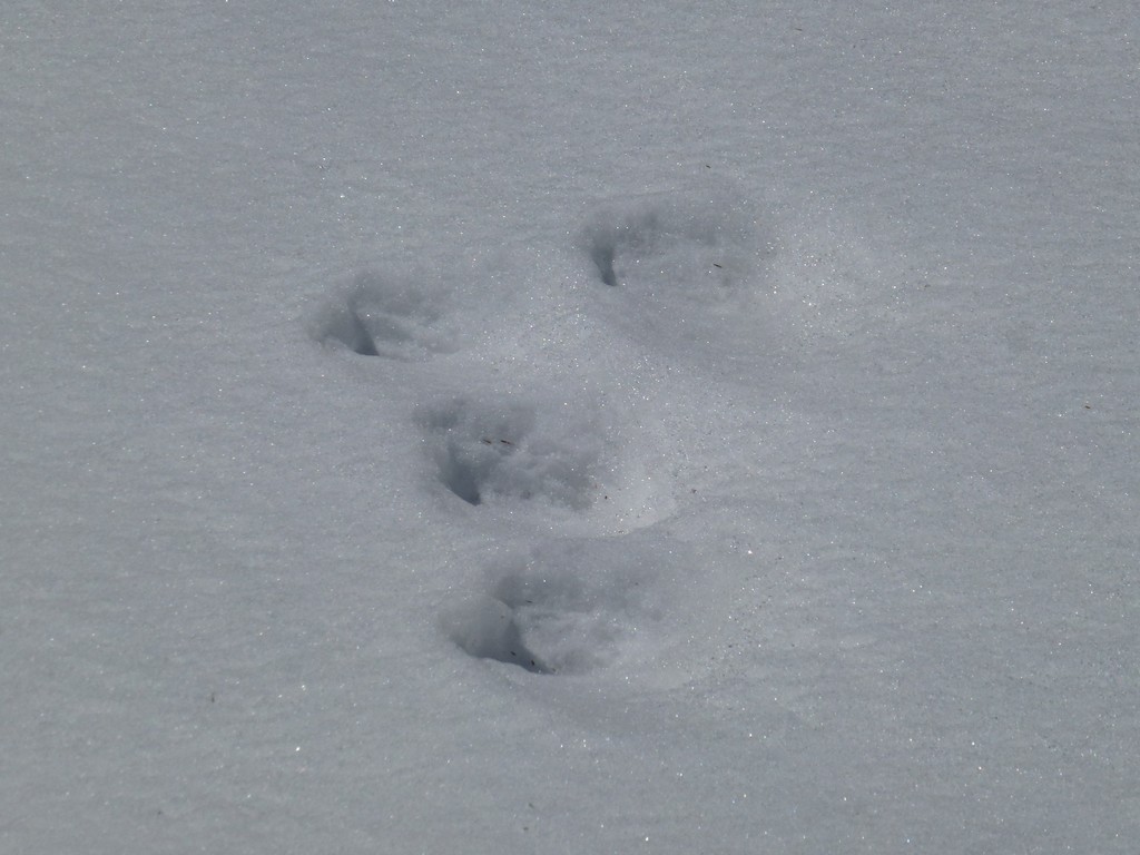
On the way down we encountered some animal tracks in the snow that were very large a we suspected they were from a bear.
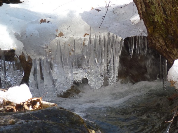
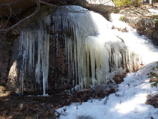
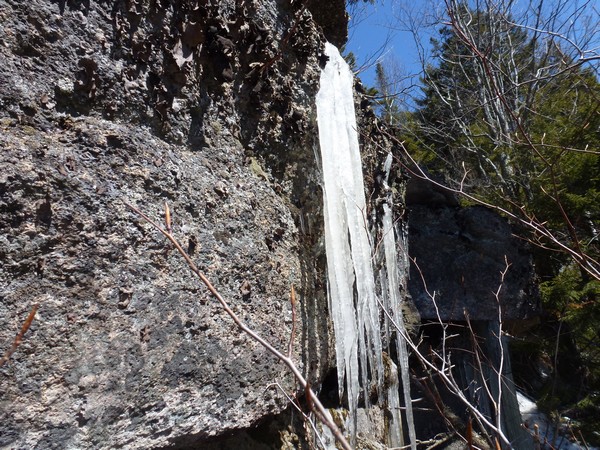
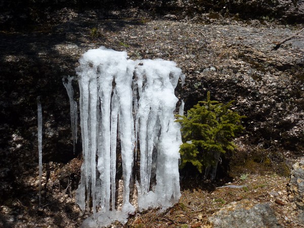
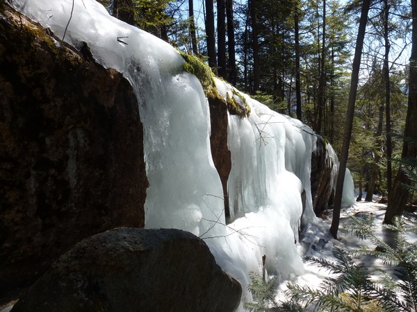
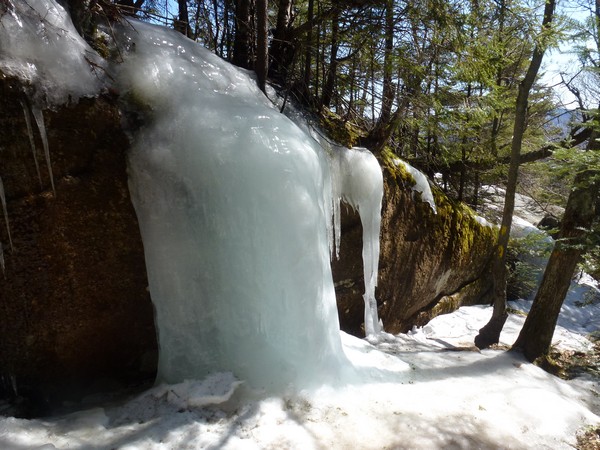
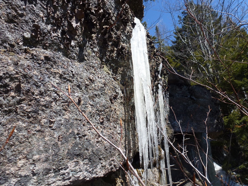
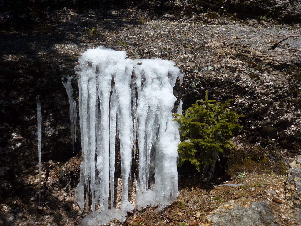
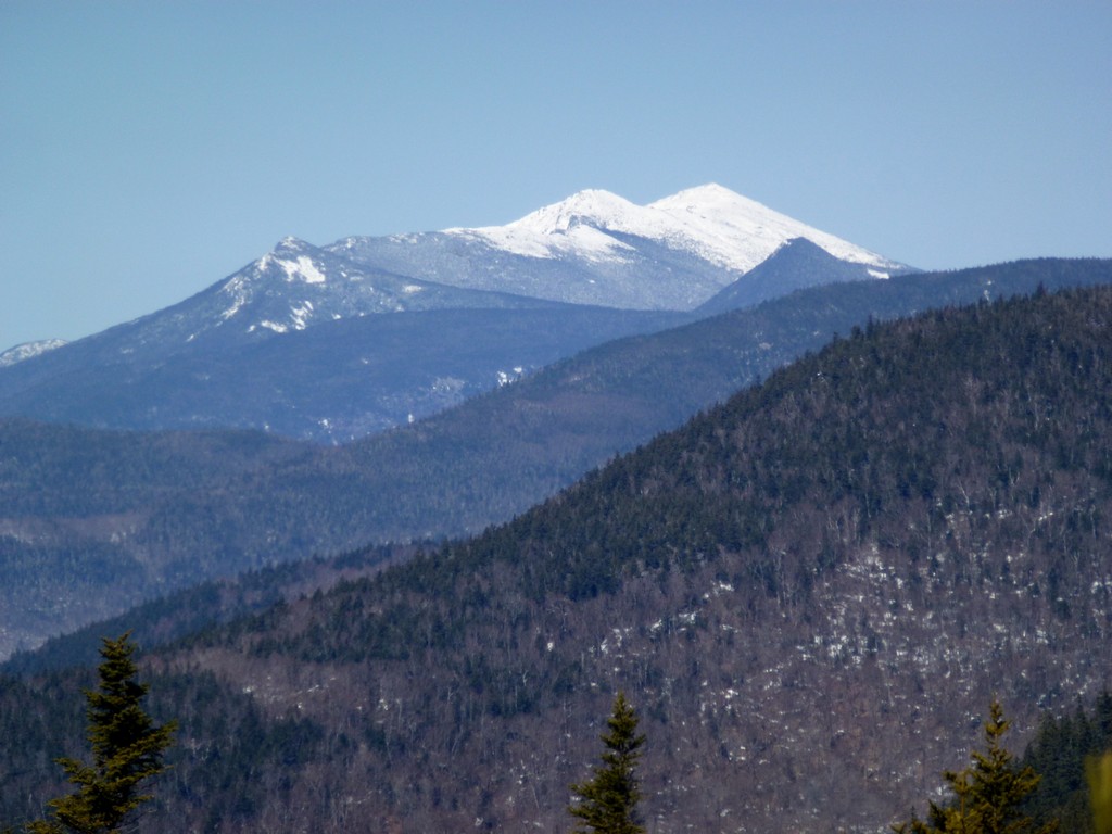
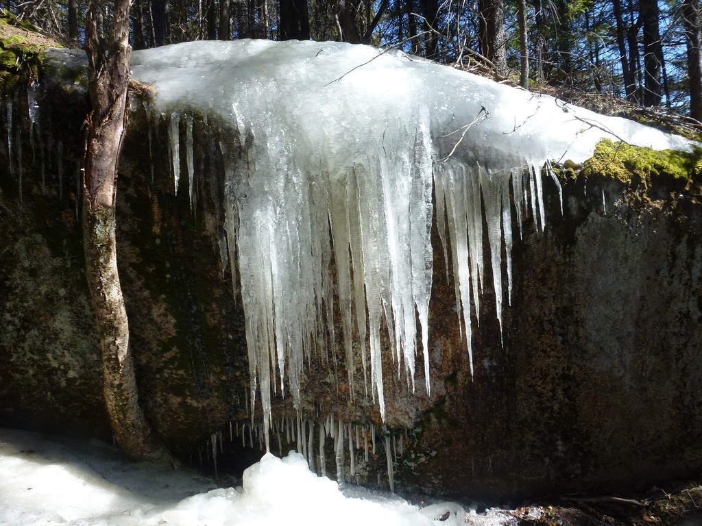
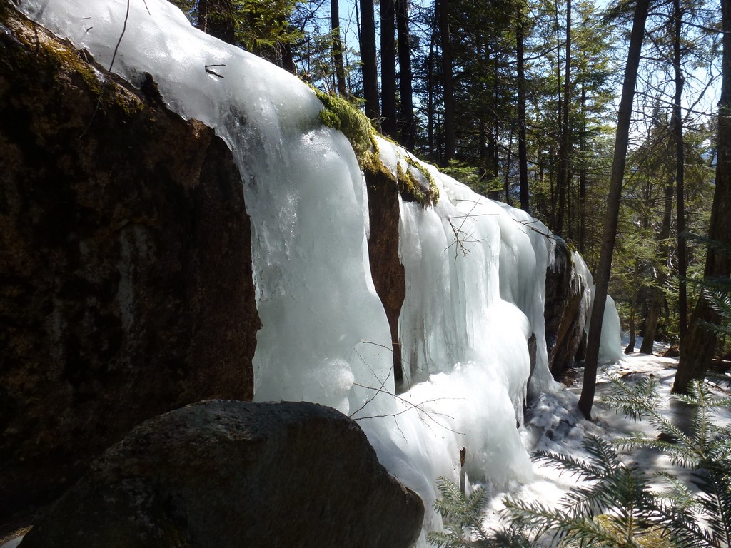
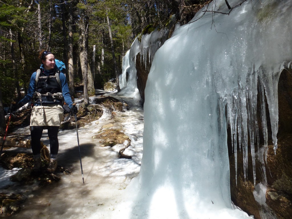
The descent went fast as there was hardly any snow on the ridge descending from Dickey Mountain and very shortly we were back in the snow free zone. We did pass a spectacular ice flow.
|
|
|
|---|
|
|---|


