|
Firescrew Mountain day hike |
|---|
The little hike turned into a complete bust. It was supposed to be a warm-up hike for an upcoming Grand Canyon backpacking trip but there was still a lot more snow left on the mountain and the trail we were following just dead ended at a dense spruce grove with no obvious way through or around. We had originally planned to do the loop going up to the top of Firescrew Mountain and then over to Mount Cardigan and then down another trail back to Cardigan Lodge but we never even made it to the top of Firescrew. Still it was a nice day for a hike so although it was disappointing it was not entirely unpleasant.
|
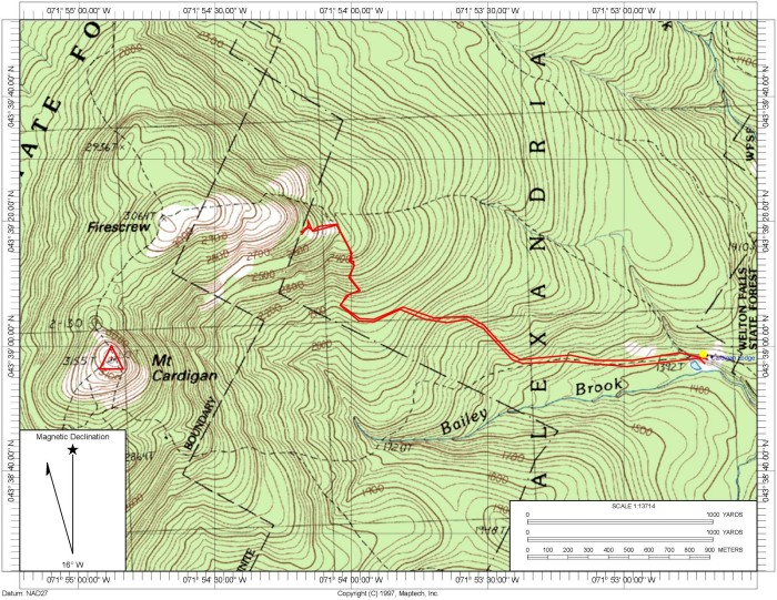
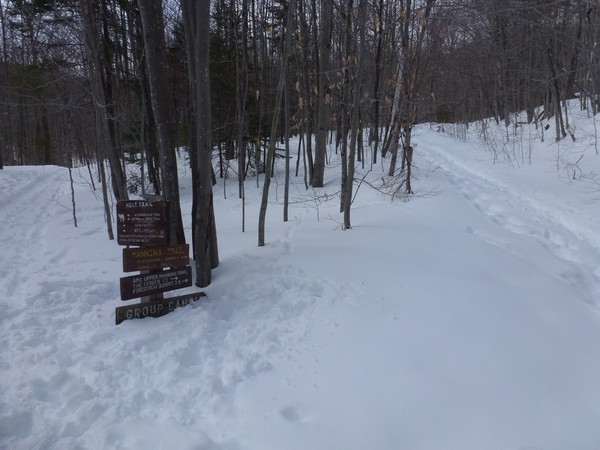
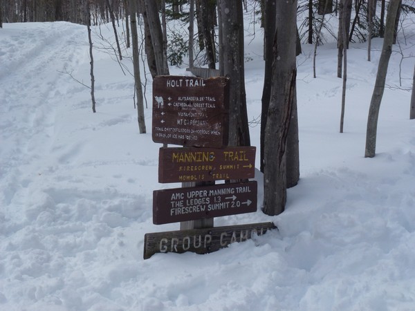
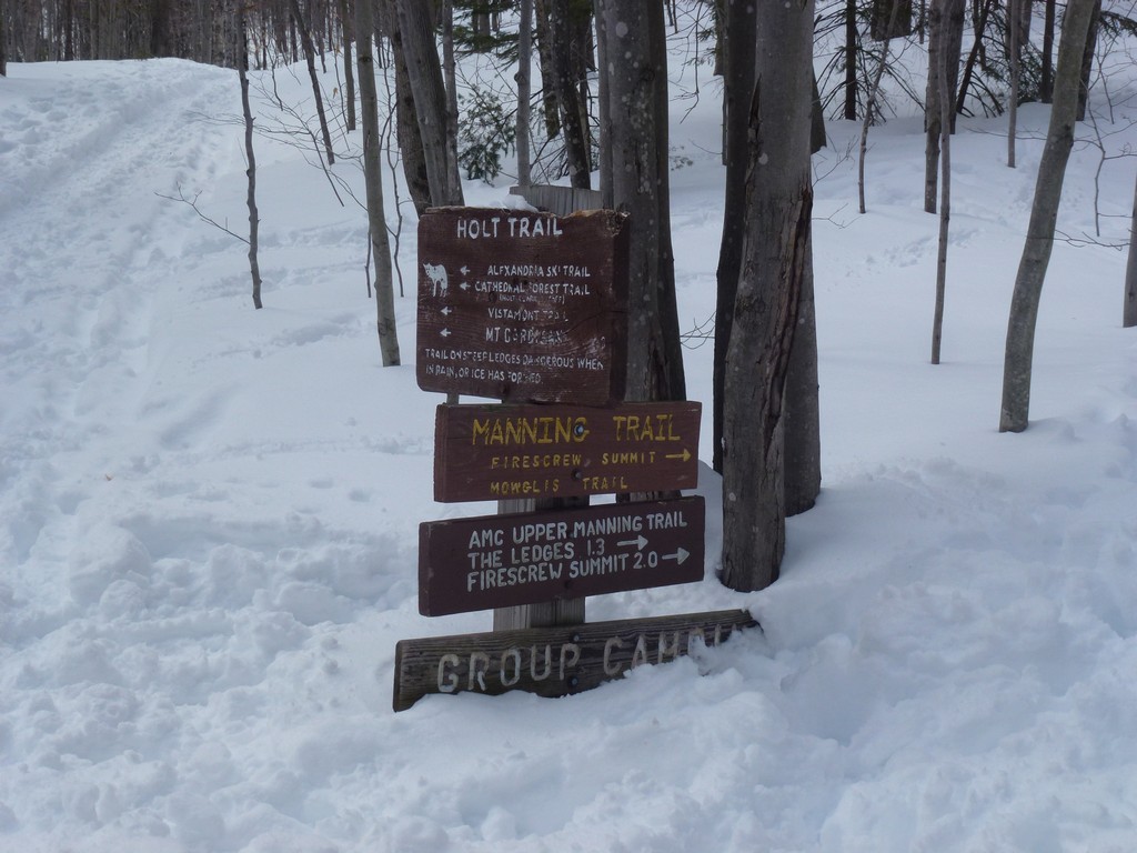
This hike started at Cardigan Lodge at the end of Shem Valley Road in Alexandria.
These mountains were not part of any special list I was working on. I had done this loop hike back one summer many, many years ago and I was just curious as to what it was like in the winter.
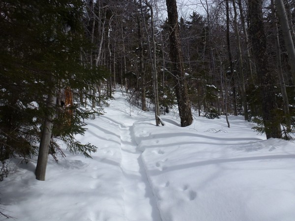
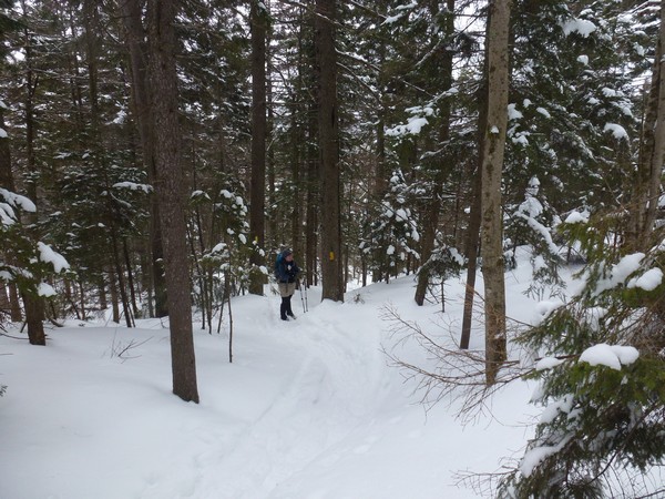
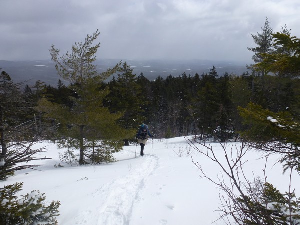
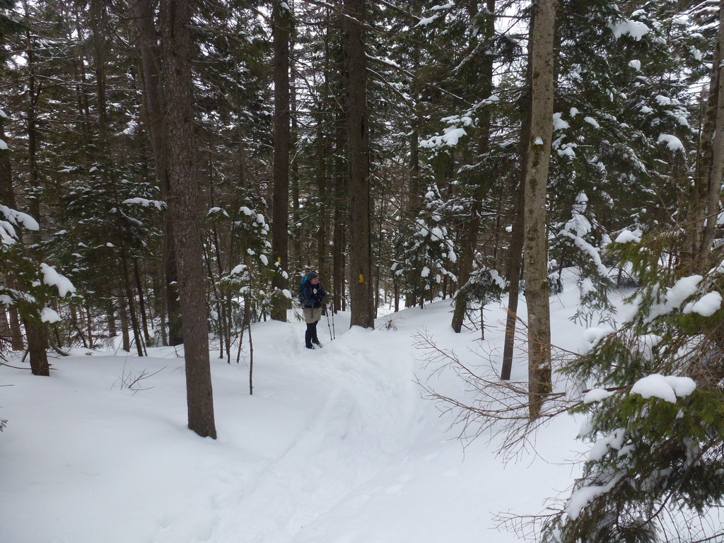
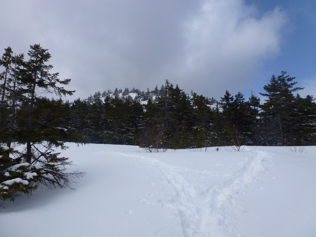
We got a very late start for this one which was actually good since the early morning was pretty gloomy looking. It had snowed on the mountains overnight so there was a lot of fresh snow on the trail. Someone had been up the lower portion of the trail already at least so that was packed down pretty good.
|
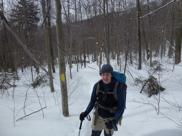
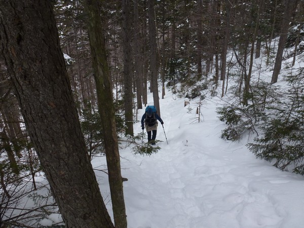
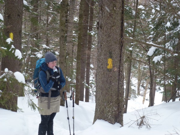
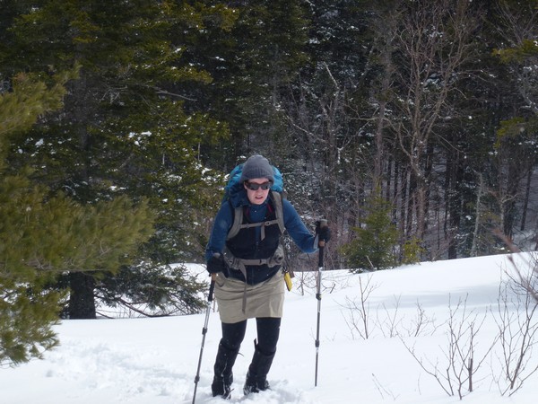
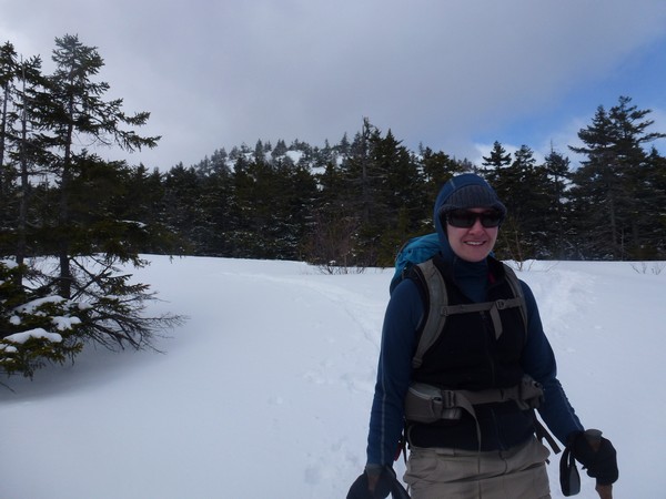
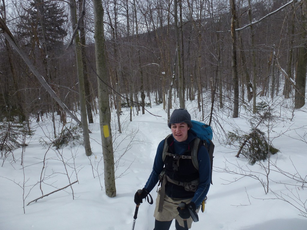
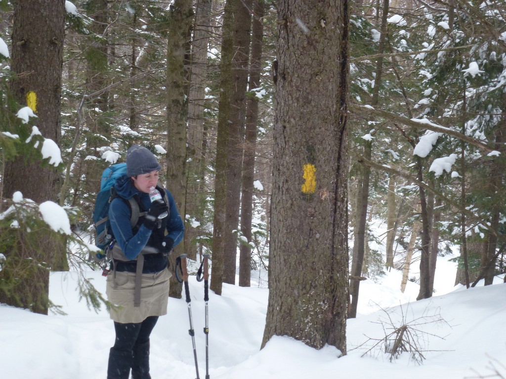
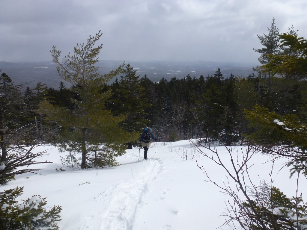
After hiking for about 20 minutes though we reached a point where we could still see the trail but there was no evidence of anyone being on it recently. It was still pretty well packed beneath the fresh snow. At this point I put on my snowshoes to break the trail a little better. My hiking buddy, Pam, did not have snowshoes with her and she was having a little trouble staying on top of the trail and was doing some postholing.
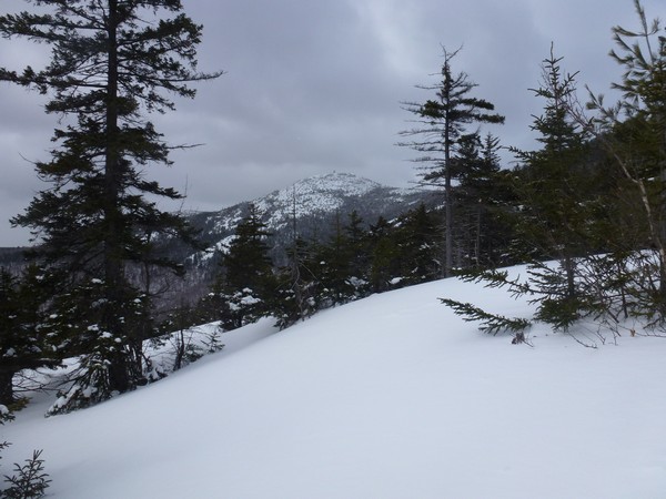
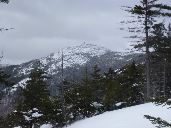
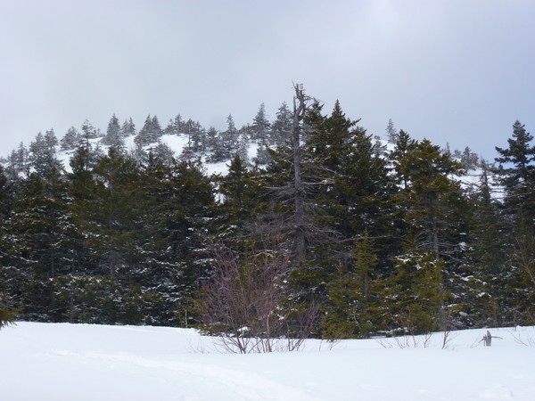
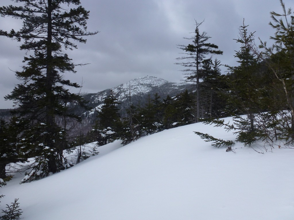
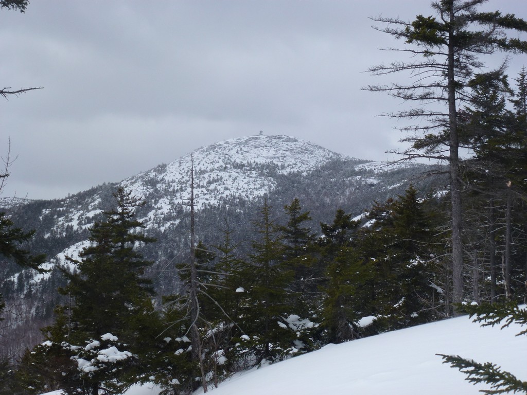
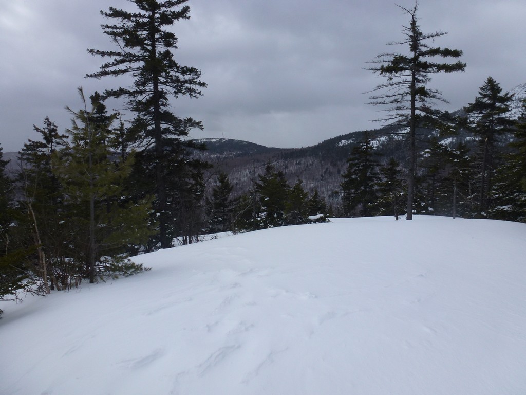
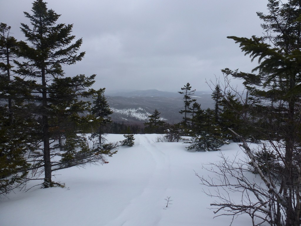
As we climbed higher we finally started getting some nice views of Mount Cardigan, Firescrew Mountain and the ridge connecting them.
|
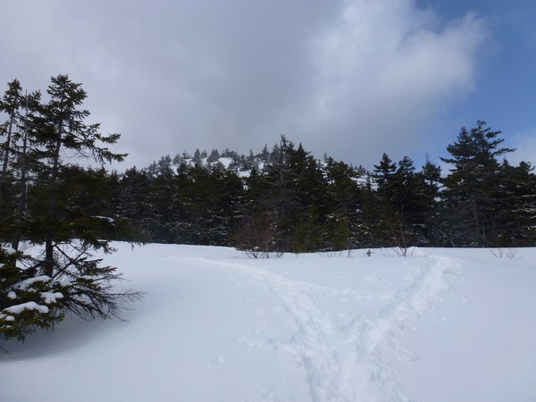
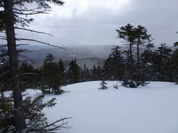
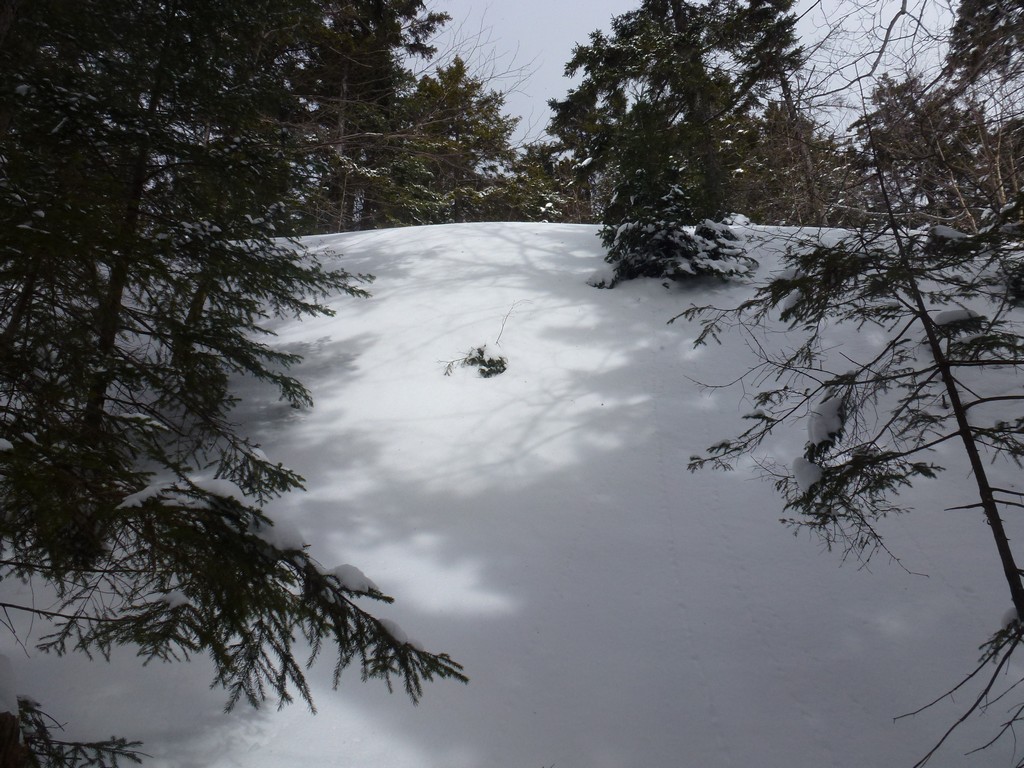
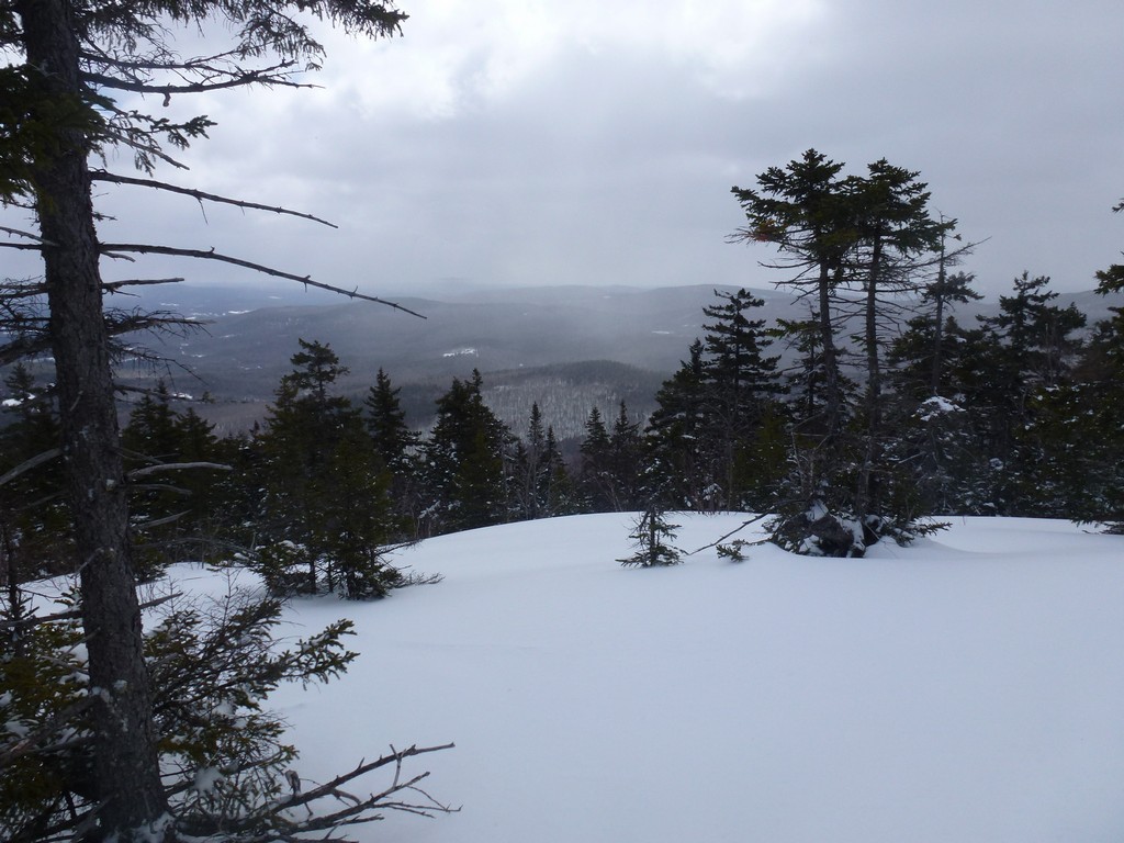
After climbing a little longer the clouds started to break up and we started getting a fair amount of sunshine. We came out above the trees onto some ledges near the top of Firescrew Mountain.
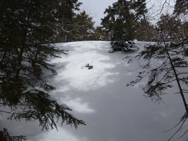
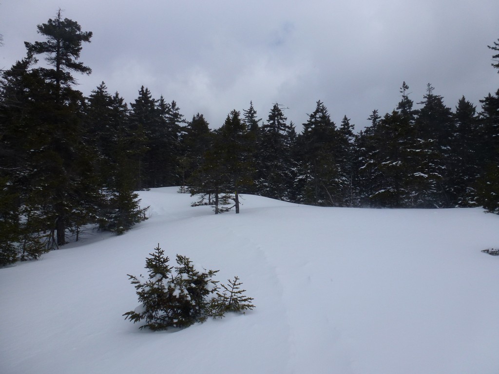
And then we came to the spruce grove and the trail just ended. There were tracks beneath the fresh snow all over the place from other people obviously looking for some way through the grove but none of these trails went very far. There was one off to the west that went into the grove further than the others but that one eventually dead ended as well. Pam was having some problems with the postholing and even got her boot caught in a spruce trap in that section so things were not looking so good. I made one more pass along the front of the grove but there was just no way through and we finally decided to give up and head back down. We (and others) obviously missed a turn in the trail somewhere but it must have been well covered in snow as there was nothing obvious even on the way back down.
|
We got back to Cardigan Lodge around 1pm and ended up hanging out there for a little white and had some hot coffee, hot chocolate and some snacks before starting home.
|
When I got home and downloaded the track of the hike from my GPS to my laptop I could see where I think we went wrong. The track does not match the trail on the map at all but we were definitely on trail so I suspect the trail has been rerouted since the map was made. Somewhere around the 2500' contour it looks like the new trail was about to rejoin the old trail but then the trail we were following made a sharp turn to east before this actually happened. You can also see on the map where the ledges we were on come into contact with the spruce grove.
|
|
|---|
|
|---|


