|
Mount Adams & Mount Madison day hike |
|---|
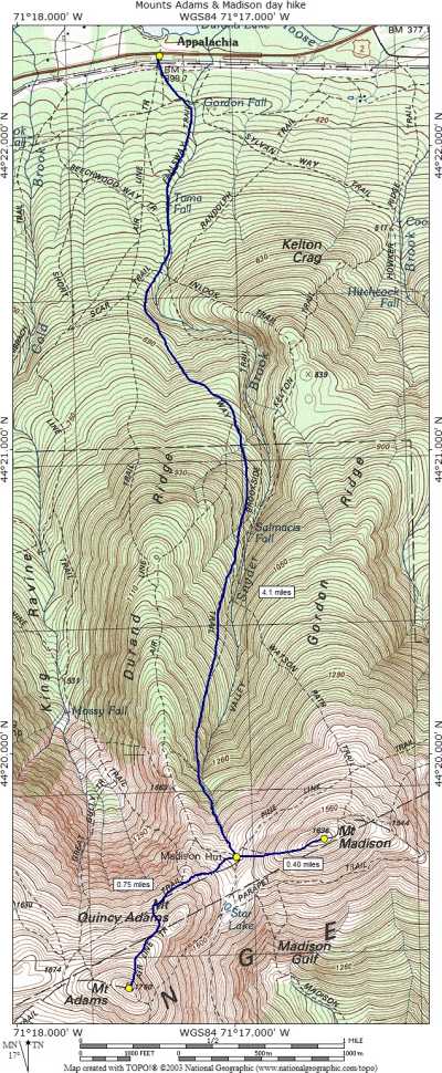
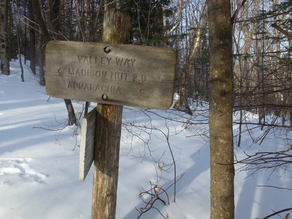
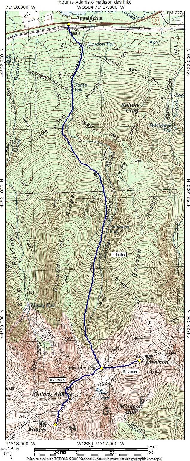
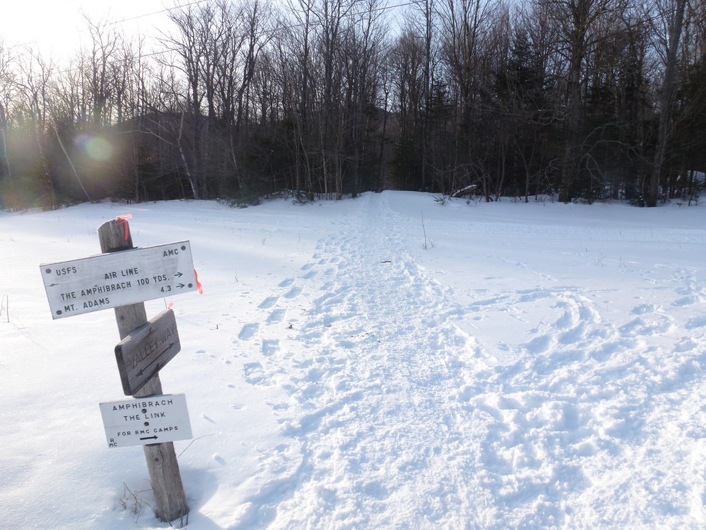
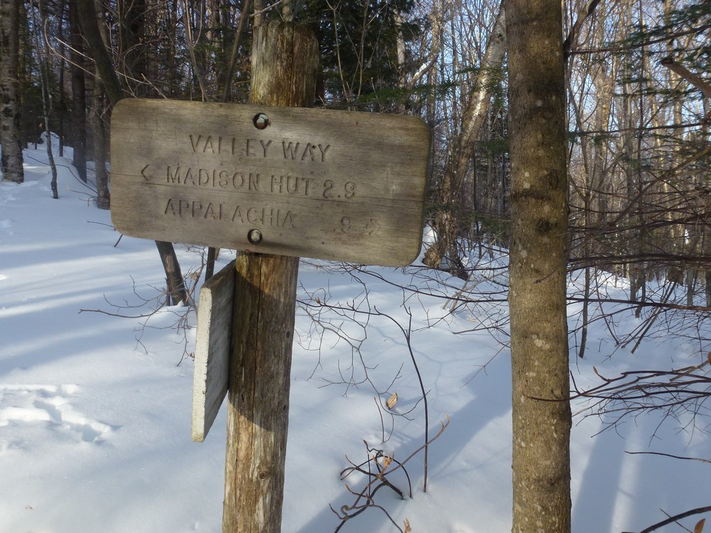
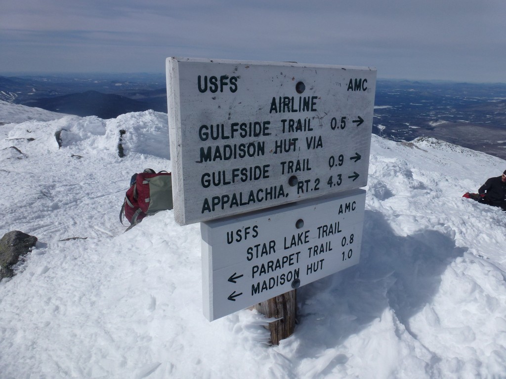
This day hike started at the Appalachia parking area on US Route 2 in Berlin, New Hampshire. The parking area is located about 7 miles east from New Hampshire State Route 112 (Owls Head Highway) and 14 miles west of NH State Route 16 in Gorham. From the parking lot I took the Valley Way Trail to the Madison AMC Hut. From there I first used the Airline Trail to ascend to the summit of Mount Adams and then the Gulfside Trail to the ascend to the summit of Mount Madison.
|
I had originally hoped to do Mounts Adams and Madison the prior day, along with Jefferson and Washington, but some friends had plans to just do the latter that day and invited me along for that hike. I tried to talk them into doing a traverse to bag all four peaks but they would not buy into that. My plans for doing them solo would have been a very long out and back hike of over 20 miles and in the end I gave up on that idea and decided to do Adams and Madison as a separate hike on the following day.
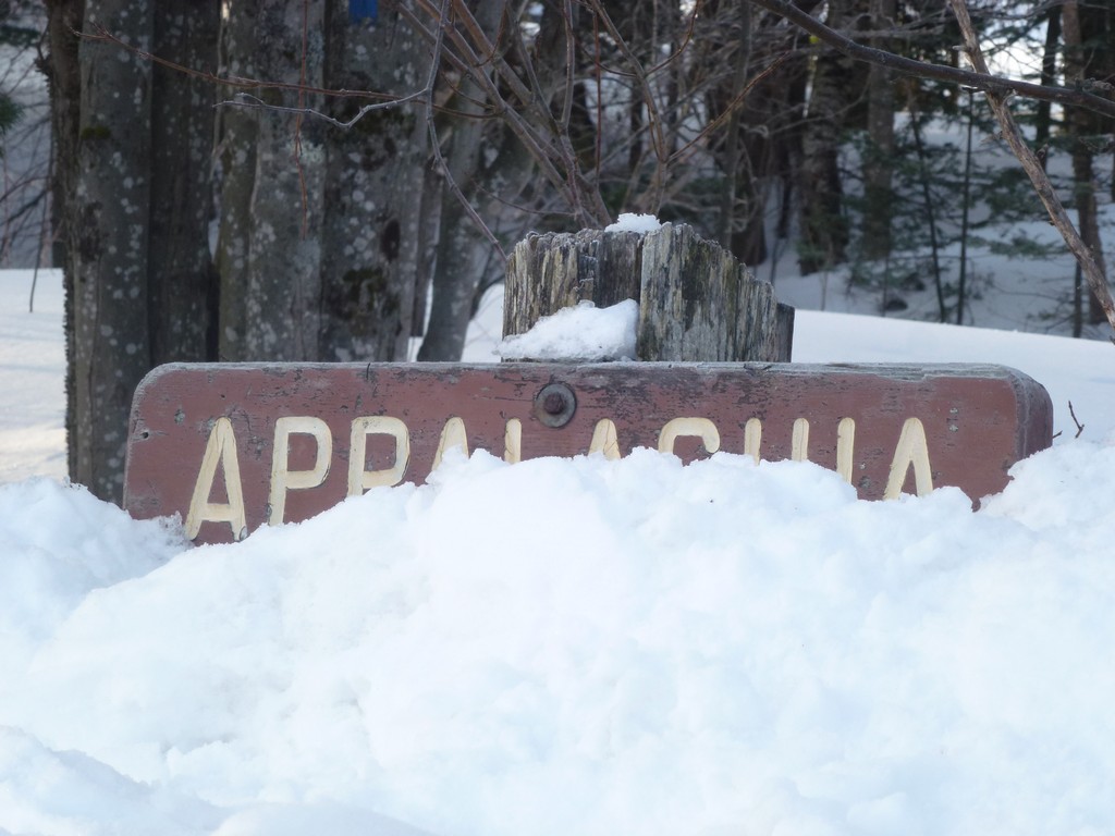
The hike started at the Appalachia parking area off of US Route 2 between Jefferson an Gorham. Mount Adams would number 35 on my New Hampshire winter 4000-footer list and Mount Madison would be number 36. I arrived at the parking area right around 8:00 and started hiking shortly thereafter. The temperature was already in the upper 20s and there was no wind so I started hiking with just my base layer, mid layer and a light windbreaker.
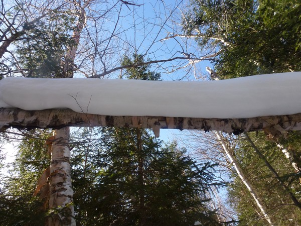
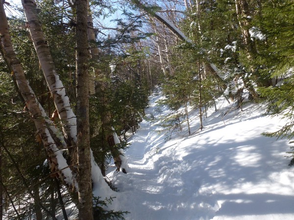
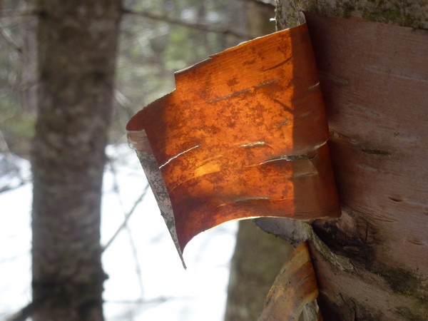
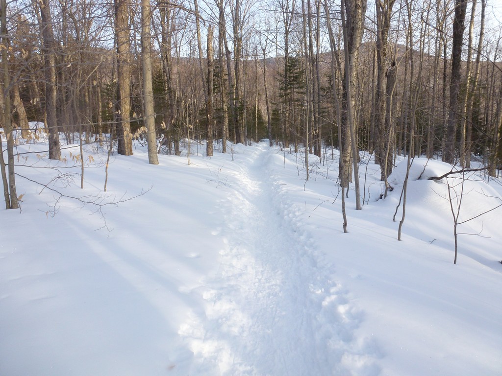
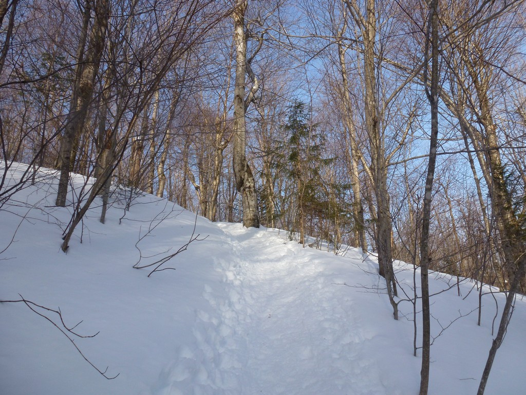
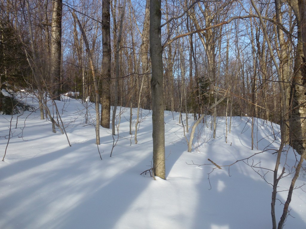
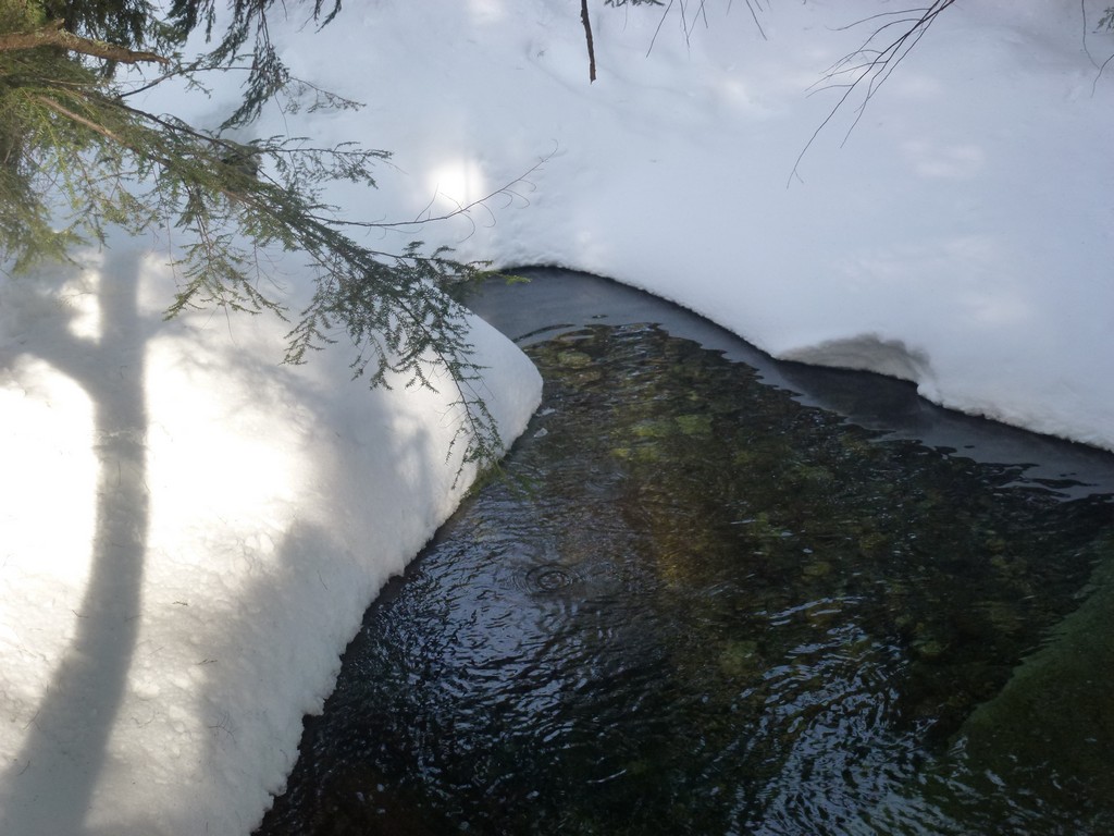
The first leg of the hike, up the Valley Way Trail to the where the Brookside Trail branches off was very easy. The trail was broken well packed and I probably could have started in microspikes but I figured I would need snowshoes higher up anyway so that's what I used. It took about 40 minutes to cover the first mile or so of trail and it was mostly a gentle uphill grade. It was a beautiful morning with lots of sunshine and I was by no means rushing it.
|
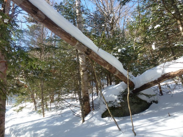
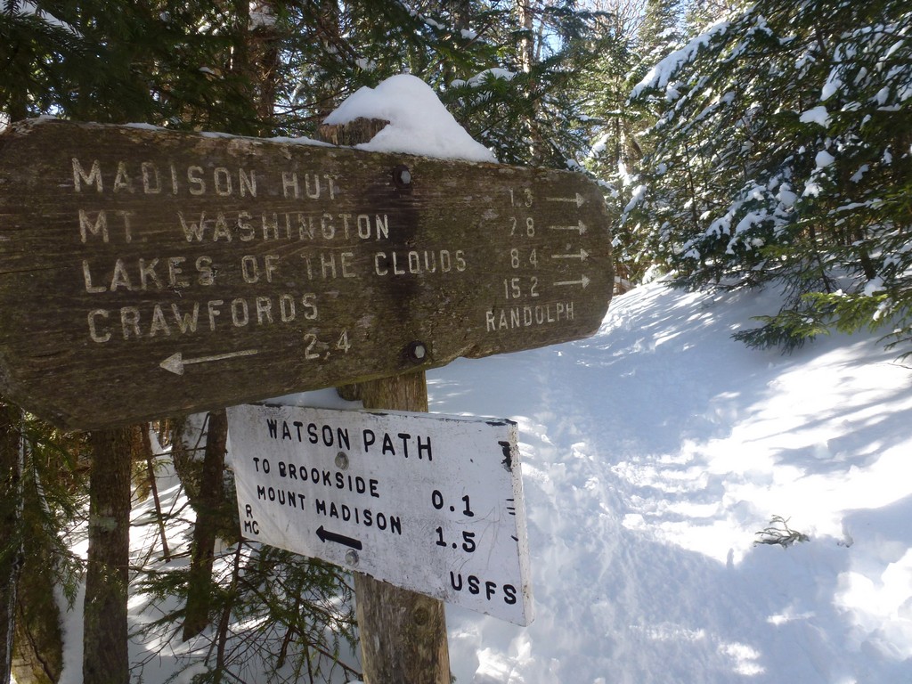
After the Brookside Trail junction the trail got noticeably steeper as it ascended the northern slope of Durand Ridge and this slowed me down a little. There was a little more snow higher up and it also did not seem as firmly packed. I noticed numerous post holes off to the sides of the trail where hikers who were not wearing snowshoes went off of the edge of the trail and was glad I was in snowshoes. I also started to warm up a lot during this section of trail and stopped at one point to get rid of my windbreaker. Ut took about another hour to get to the junction with the Watson Path and from there I was only a little more than a mile away from Madison Hut.
|
Beyond the Watson Path the steepness continued and I found myself stopping more and more just to catch my breath. I always seem to push myself too hard when I am hiking alone and this is the result. I had done much better on the prior day, on the Jefferson/Washington hike, with someone else setting the pace. Although I am pretty sure that the upper reaches of the Valley Way Trail were steeper than the Jewell Trail had been. I stopped about midway through the section to get rid of my mid layer.
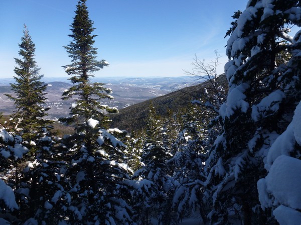
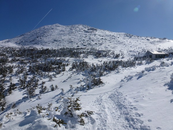
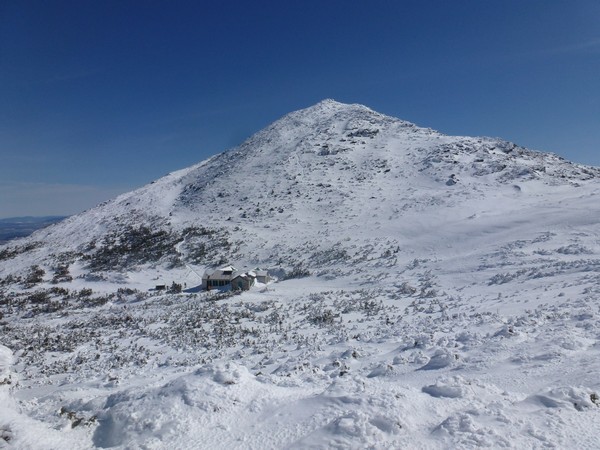
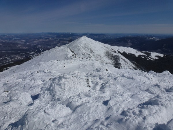
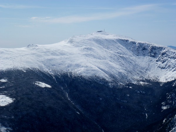
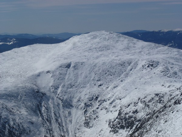
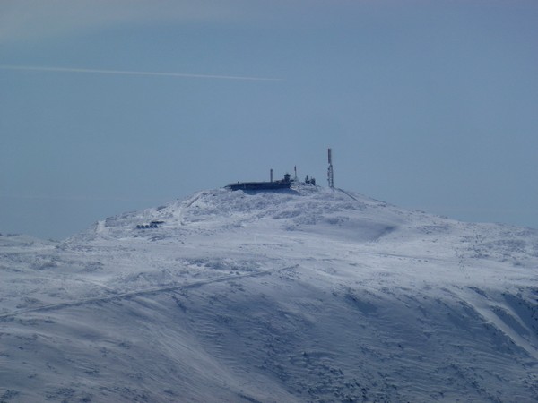
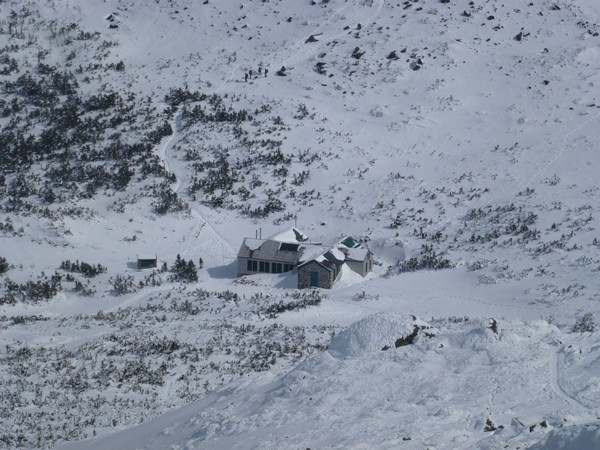
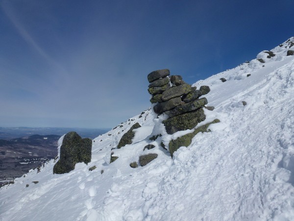
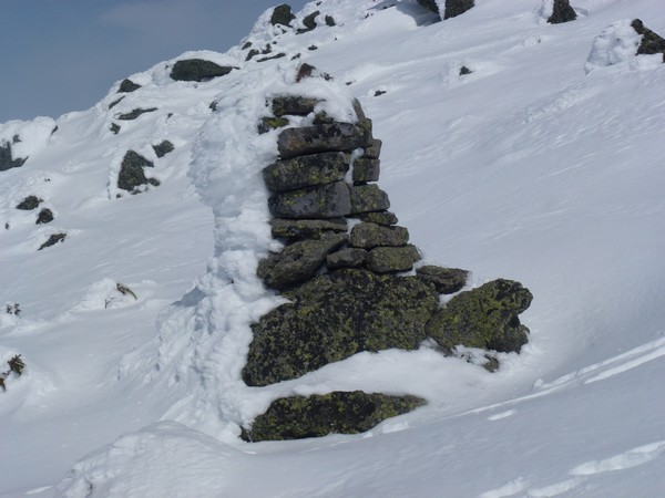
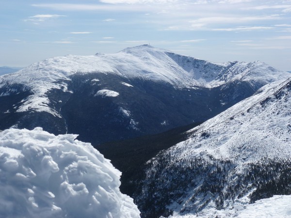
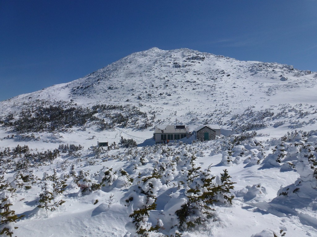
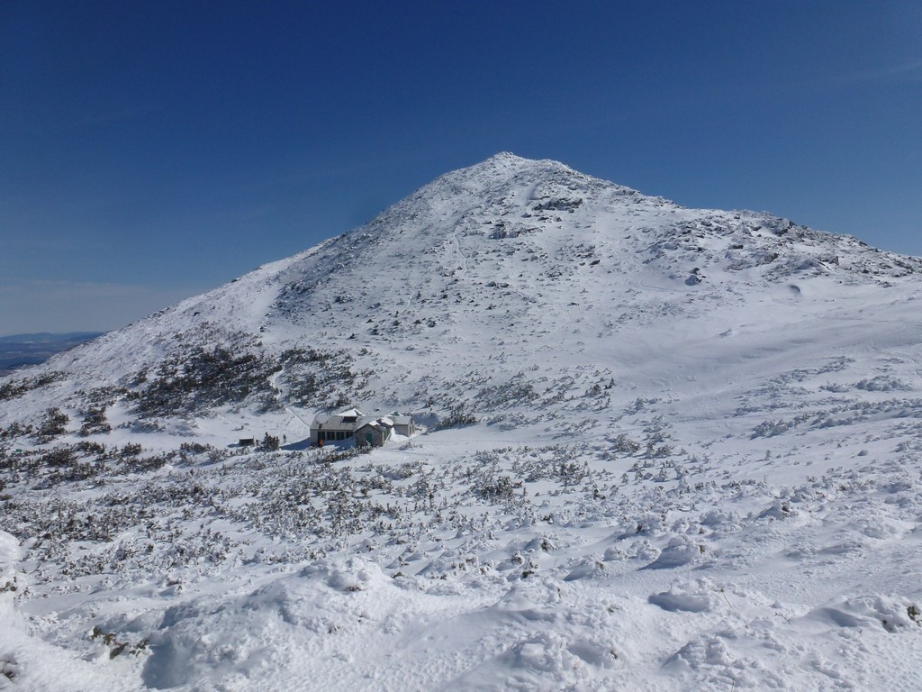
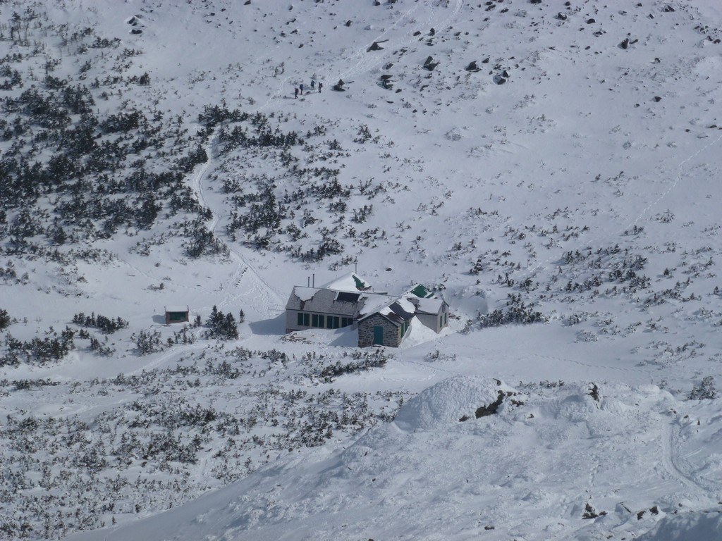
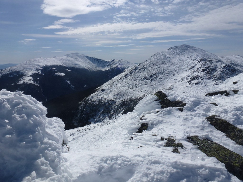
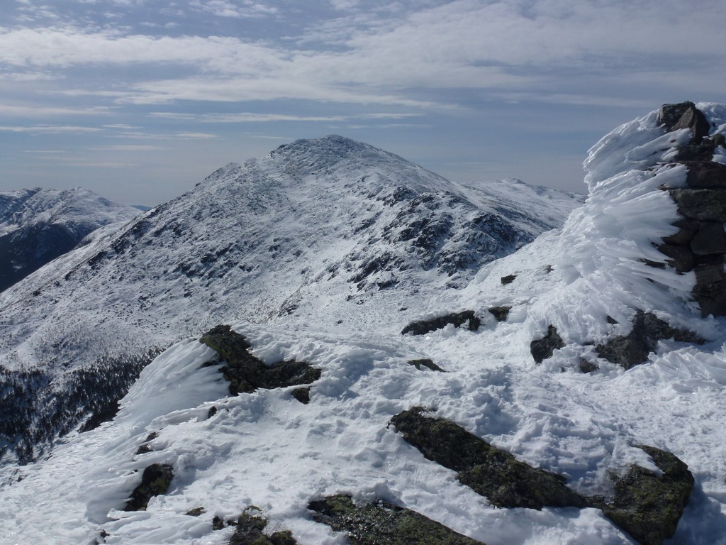
It was nice to finally break out above the tree line and the views of Mount Madison were wonderful. I was very happy when Madison Hut came into view as I knew at that point that the hardest portion of the hike was behind me. Now I just had the ascents of Mount Adams and Mount Madison do to from the hut and then it was all downhill.
|
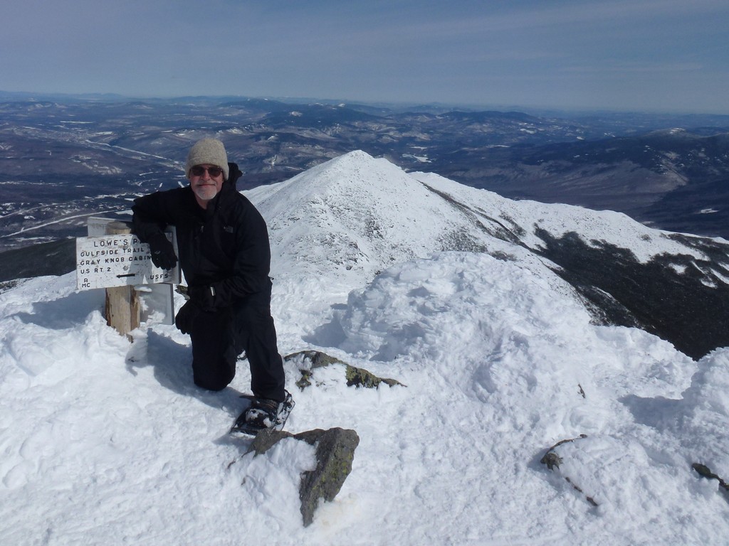
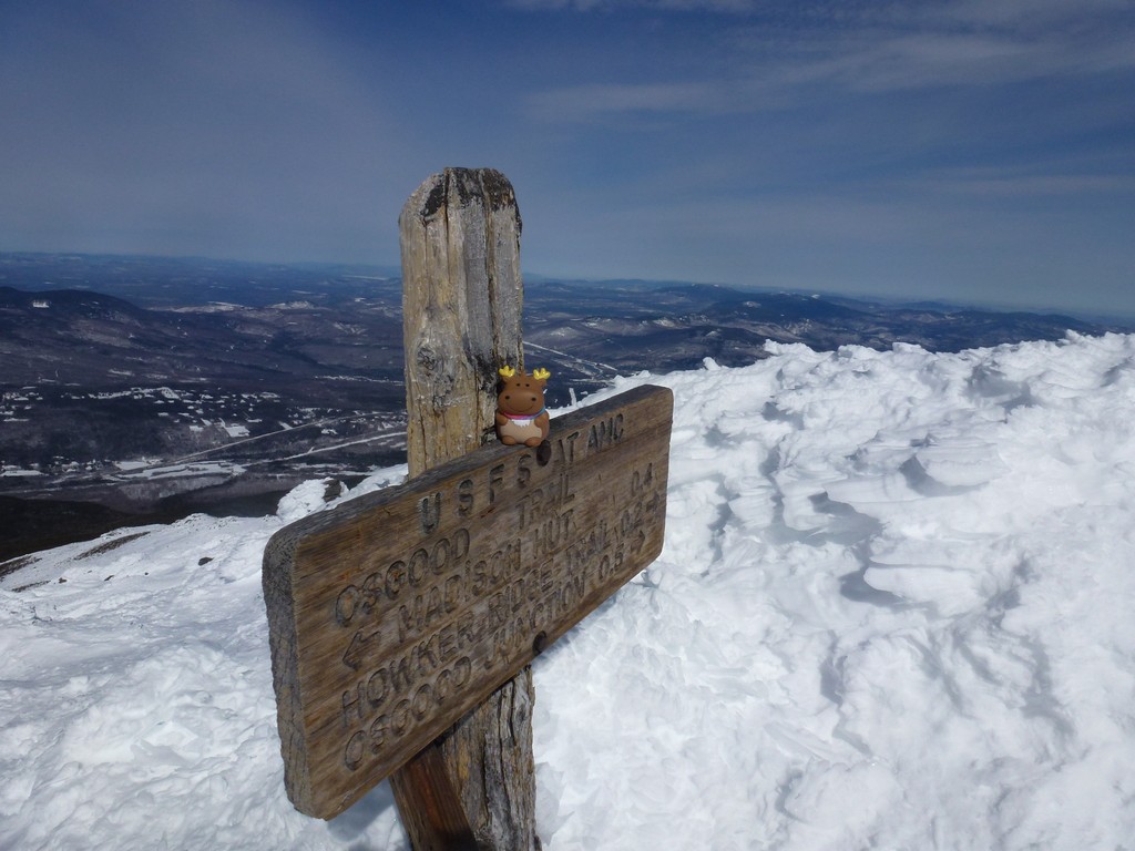
I passed by the start of the Airline Trail that I would take to the top of Mount Adams and went over to sit next to the hut for a while to have some snacks. I talked briefly with some guys there who were just ending a multi day trip and had been doing some ice climbing over in Huntington Ravine. I did not rest long and was on the trail again in about 10 minutes heading for the top of Mount Adams. I missed the turn for the Airline Trail thinking it was a trail that was going up Mount Quincy Adams instead, and ended up being on a trail that was going around Mount Adams instead of to the top. Once I figured this out I had to bushwhack up and across the snow to get to the Airline Trail.
|
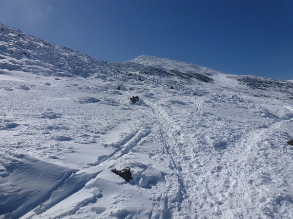
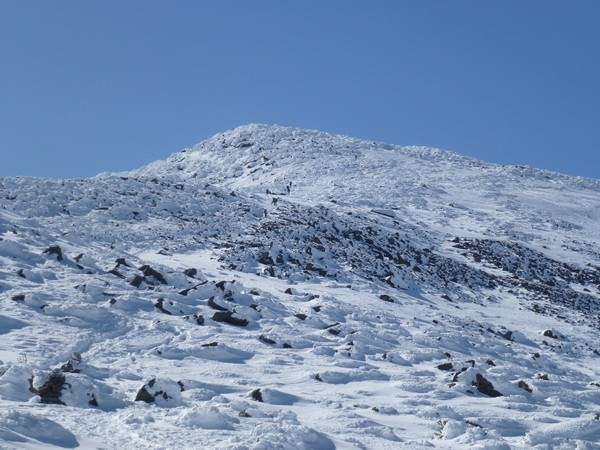
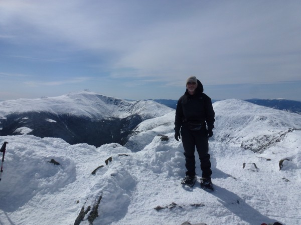
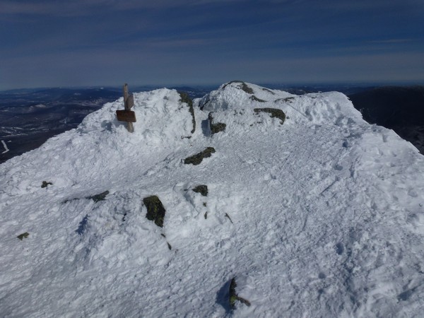
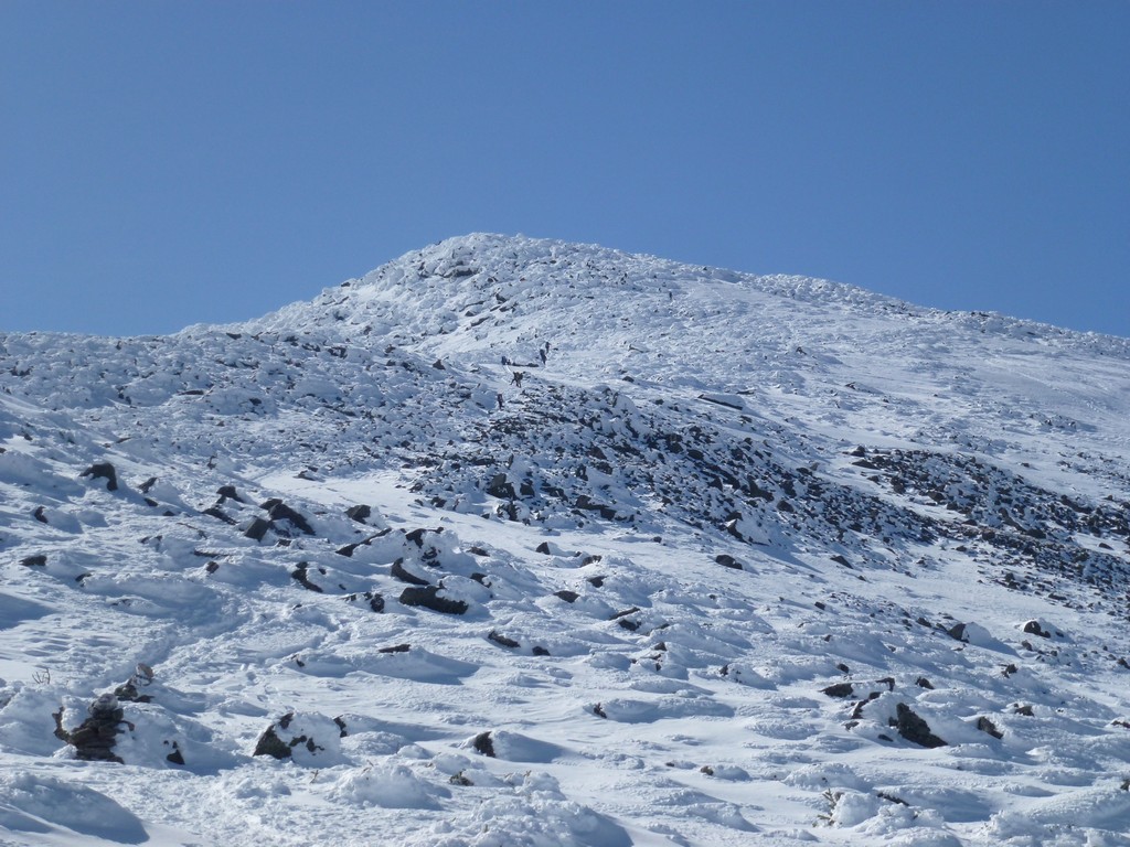
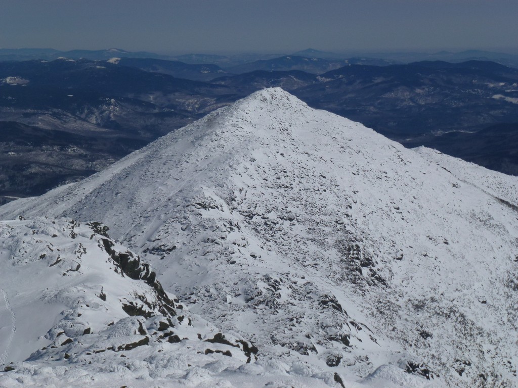
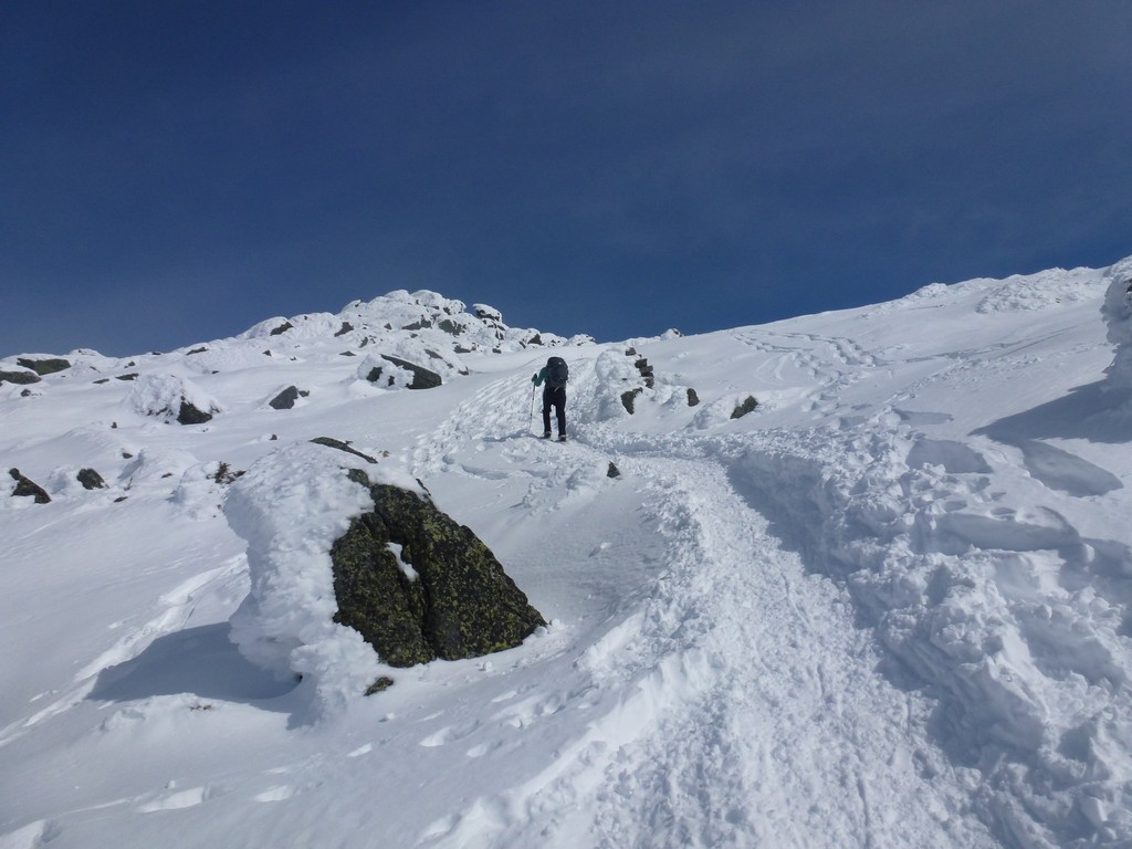
It took a little more than half an hour to get to the top of Mount Adams and there was a large group of people hanging out just below the summit when I arrived there. I was pretty sure that this was the group who had left the parking area at Appalachia just ahead of me and had gone all the way up on the Airline Trail.
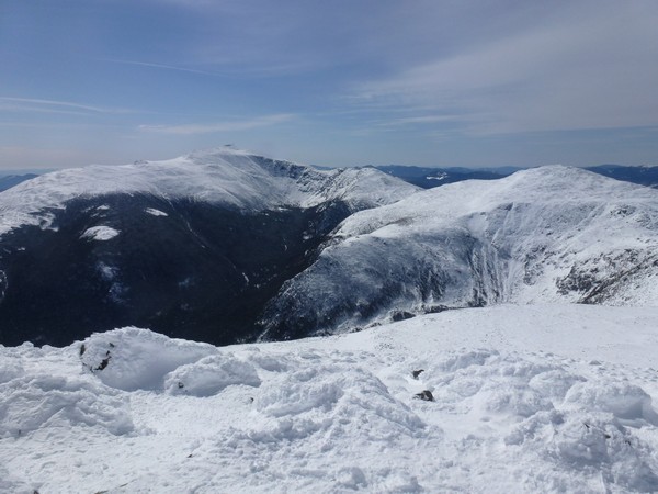
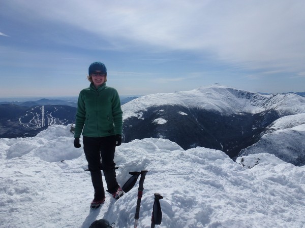
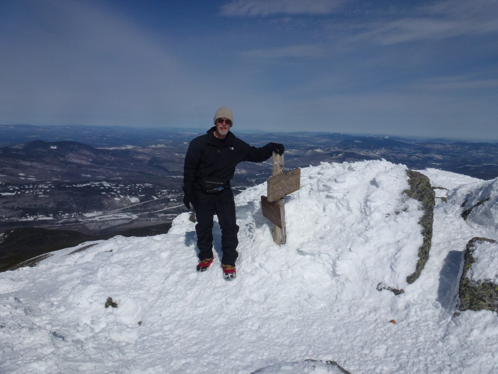
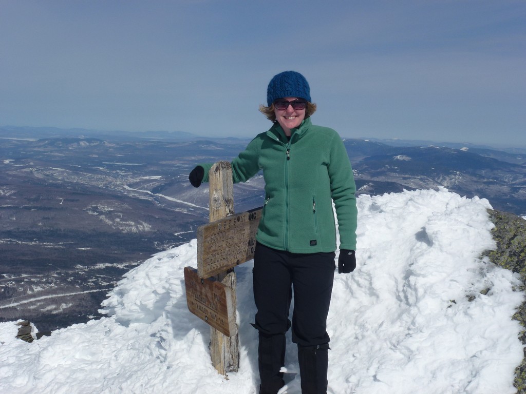
The actual summit highpoint of Mount Adams was very windy but I opted for staying there for a while since all of the good resting spots below were already taken. The wind wasn't that bad unless you were facing directly into it. I was only up there for a couple of minutes before I was joined by another solo hiker, a gal I had been playing cat and mouse with for the last hour or so. She had passed me first right around the Watson Path junction while I was resting. I passed her a little further up, she passed me, I passed her and this went on and on all the way to the top of Adams. Since we were both of there at the same time we actually had a little time to talk and take summit photos for each other.
|
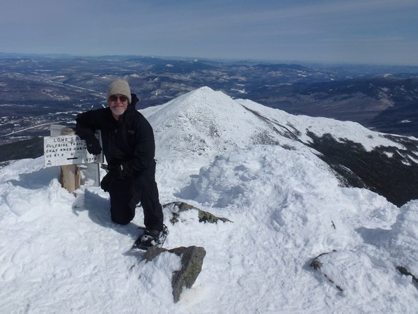
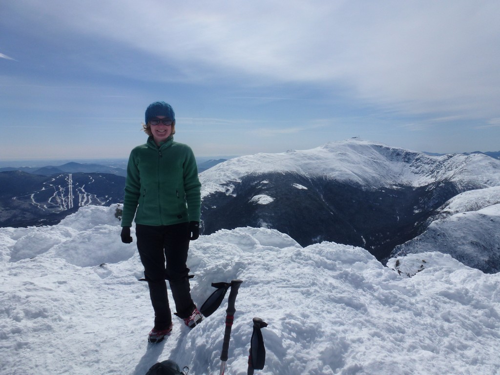
Alysia and I ended up leaving the summit at the same time and were sort of hiking together at that point even though we really were not. We both took another break back down at Madison Hut and talked some more and at that point I think we pretty much were hiking together. We started up Madison together and talked along the way, took photos of each other on the summit up there, came down together and finished the hike together. It was sort of nice actually. I had started out the day thinking it was going to be a solo hike and the first half of it was but it was nice to have someone to talk to on the summits and during rest breaks and we seemed to have similar hiking speeds so it just worked out nicely.
|
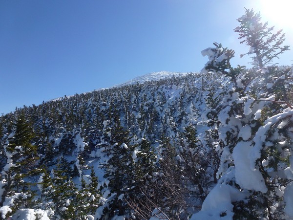
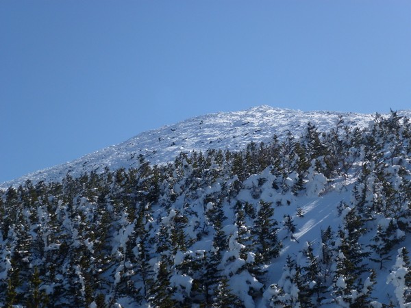
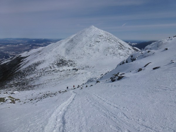
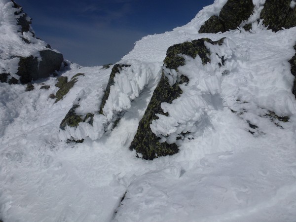
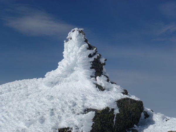
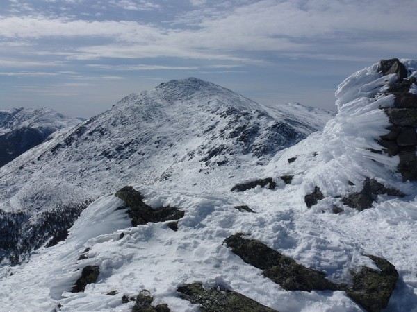
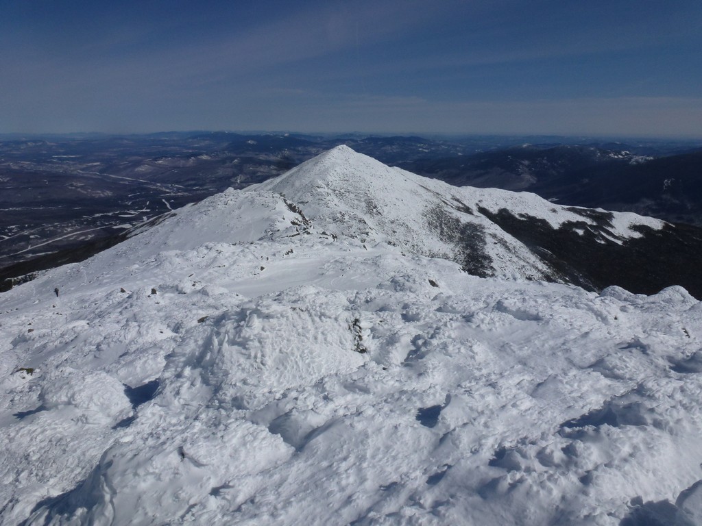
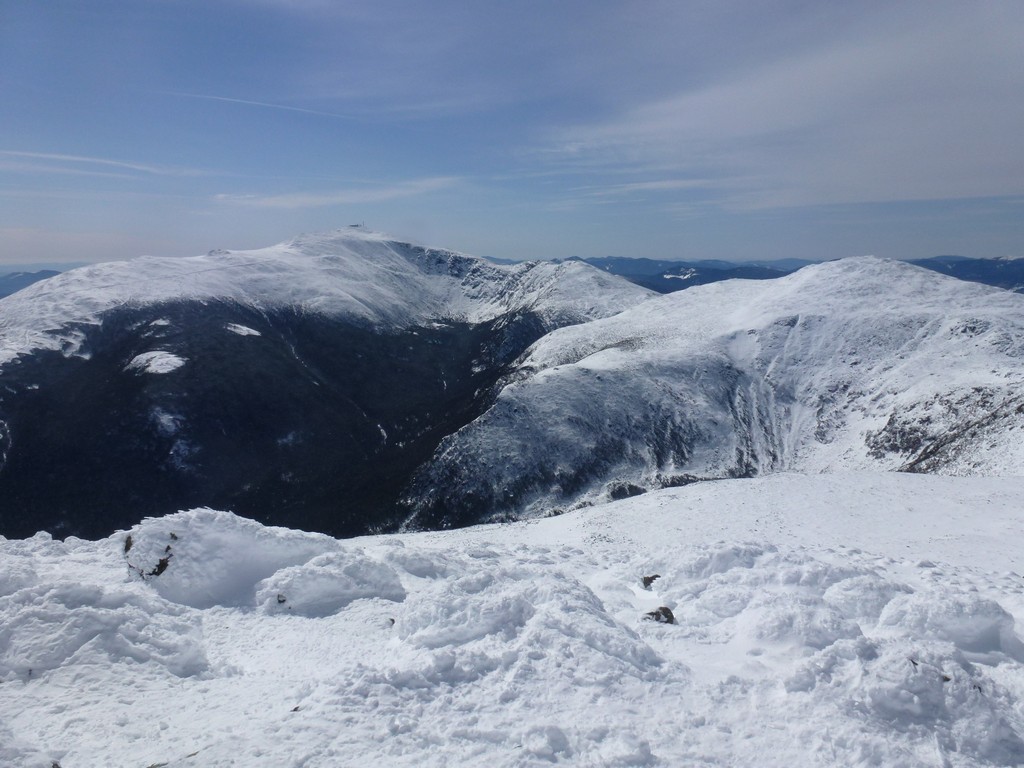
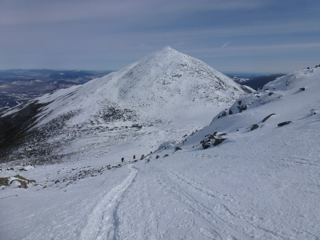
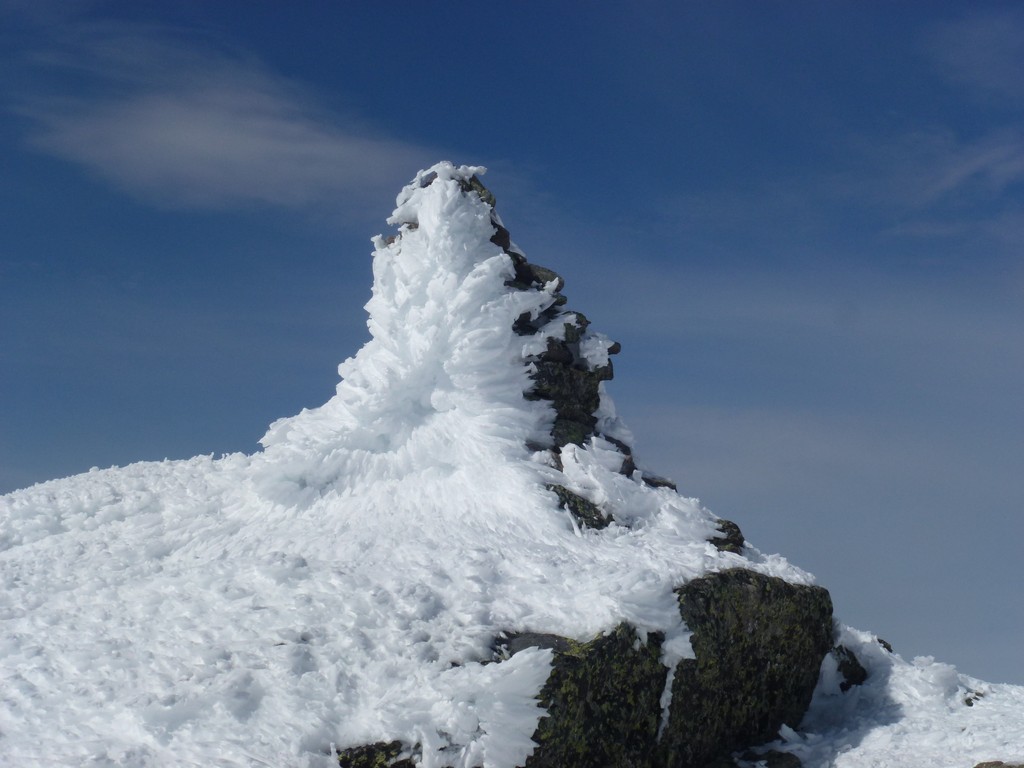
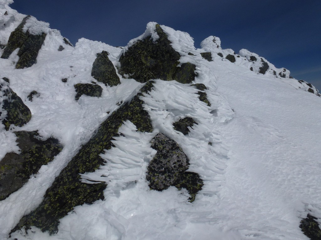
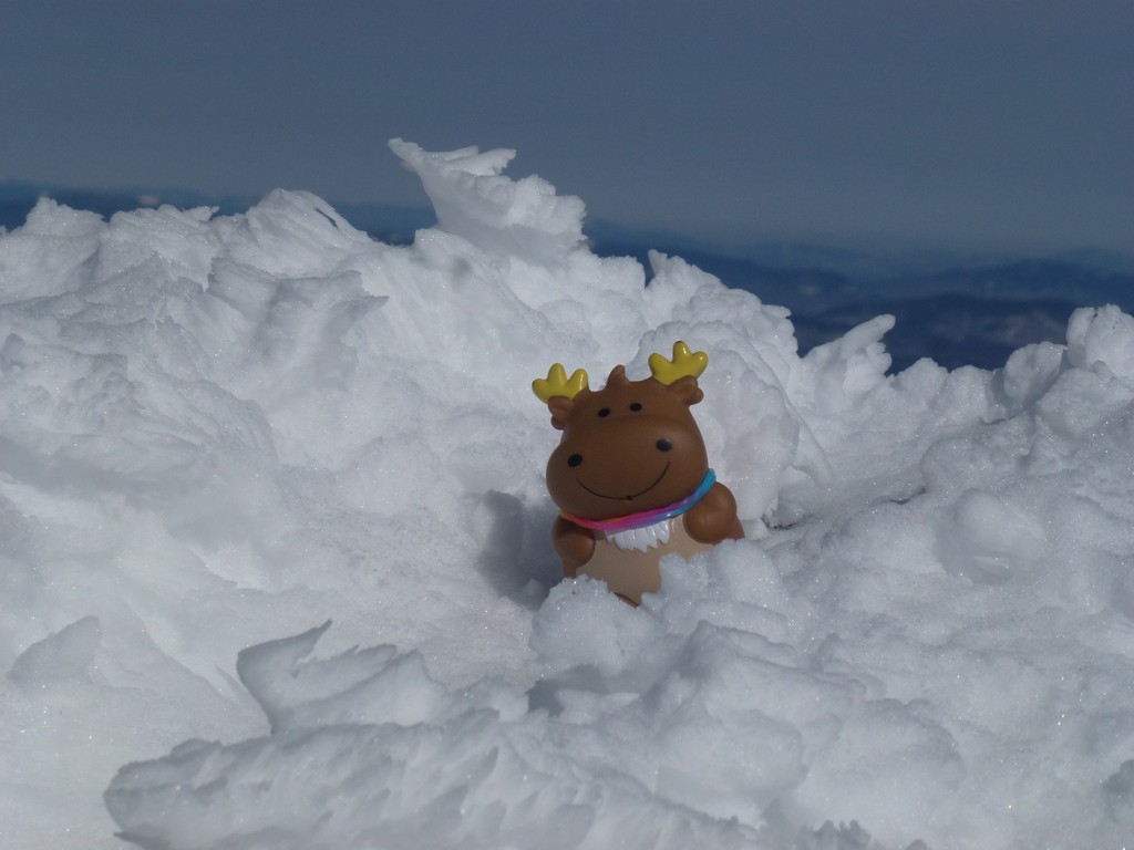
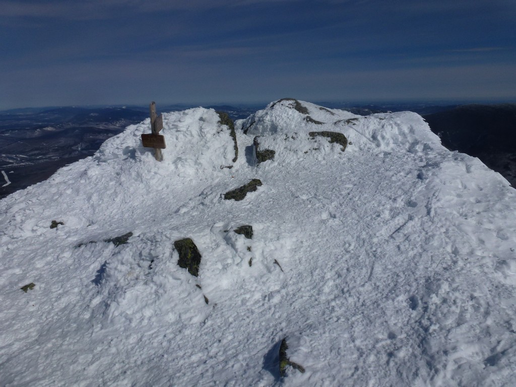
The slope of Mount Madison looked very steep from far away, especially when we were up on Mount Adams, but once we started up it did not seem so bad. We started up Mount Madison a little before 1:30 and we were on top a little before 2:00. There were some really amazing ice rime formations along the trail going up Madison.
|
Alysia had been hiking in microspikes for most of the day but had finally switched to snowshoes for the climb up Madison. While on top she switched back to microspikes and knowing what the condition of the trail was going to be like on the way down I decided to do the same. I knew it would be a lot faster and I would have better traction with microspikes instead of snowshoes.
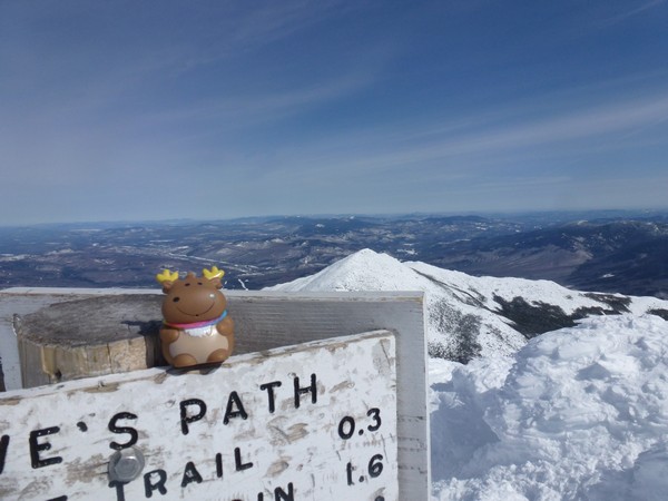
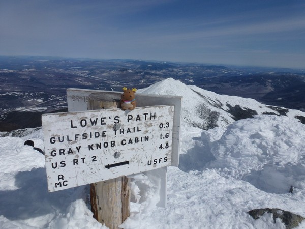
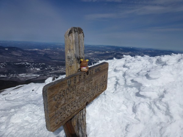
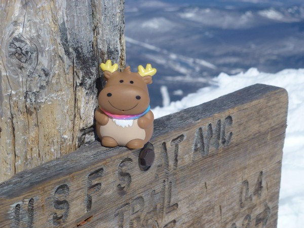
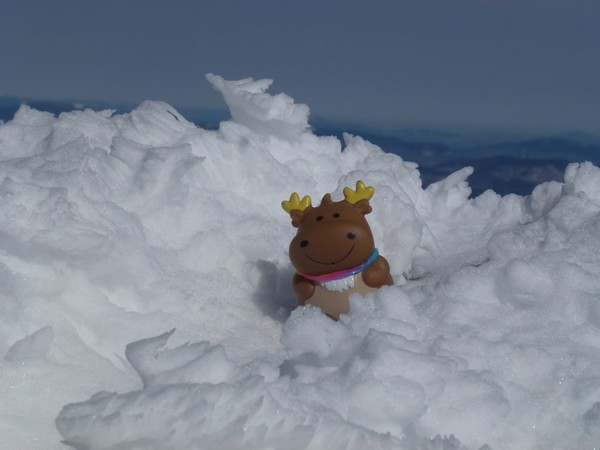
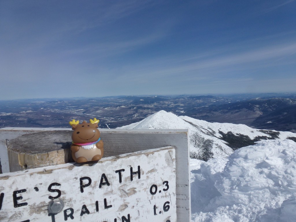
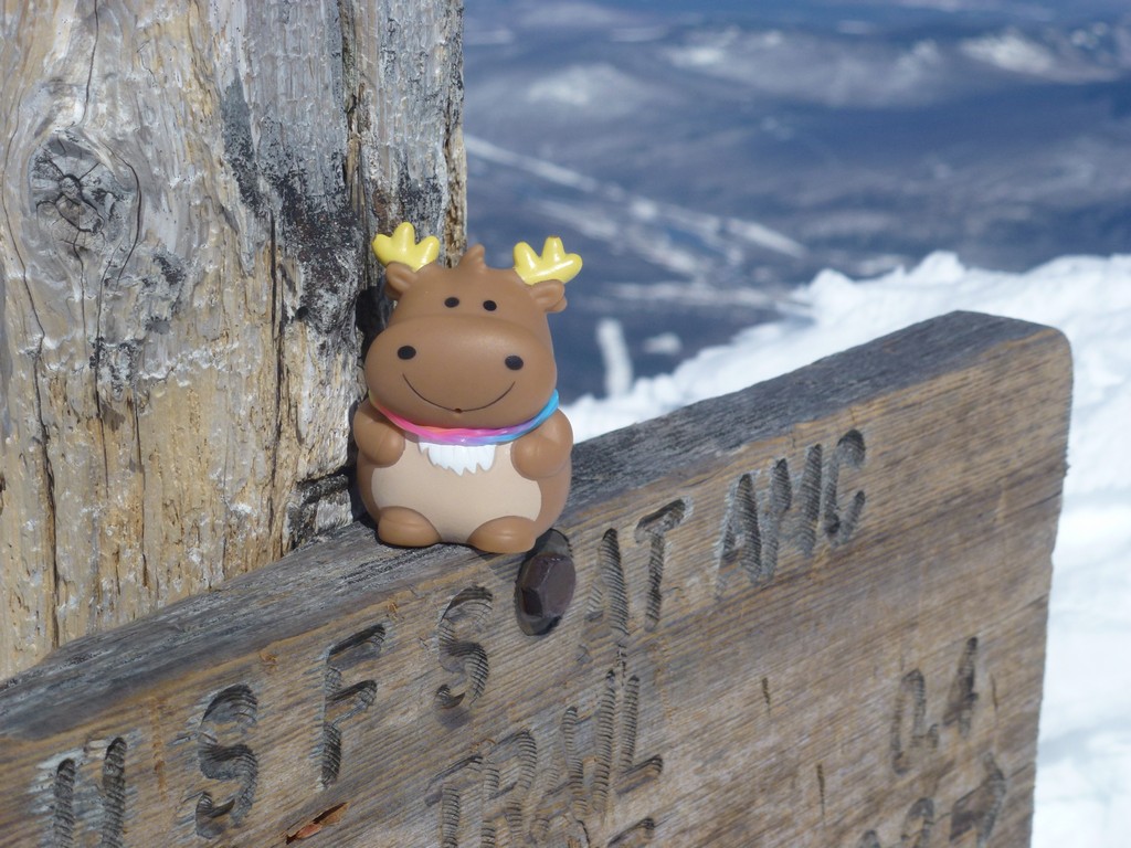
We took photos of each other on the summit before leaving and she really got a kick out of Mighty Moose. He has been on numerous NH 4Ks and NEHH peaks now.
|
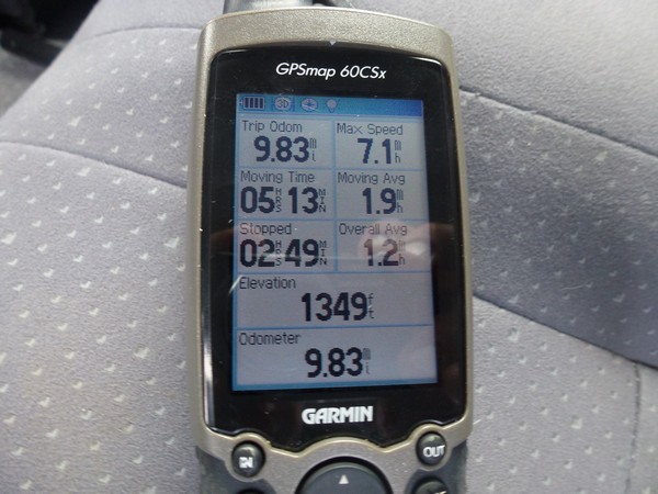
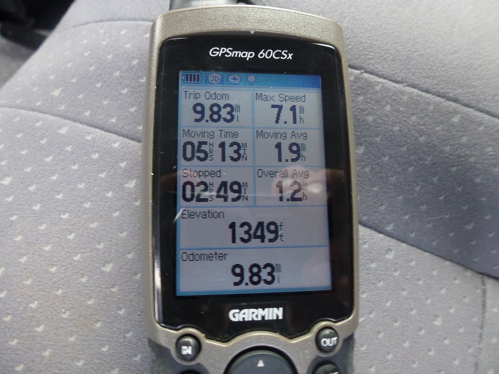
We made awesome time going down the trail and from the summit of Mount Madison to the parking lot at Appalachia took just about 2 hours, maybe a little less. There were several short sections of trail that we were able to butt slide down and that's always a lot of fun. The Valley Way Trail was not nearly as much fun as the Ammonoosuc Ravine Trail had been the day before but it was still fun.
Alysia and I had lots more time to talk about our various hiking experiences too. I discovered that she had already done all of the NH 4Ks twice already and was now working on the winter list. I knew that she had started the NEHH (New England Hundred Highest) list but it wasn't until a couple of days later that I realized she had completed that as well. She was definitely a very adventurous person and had done most of the NEHH bushwhacks solo because she could not find anyone to do them with her. I know how that feels.
I told her about all of my hiking and backpacking adventures in Grand Canyon and discovered that she had always wanted to hike the Grand Canyon. Sometimes the universe works in mysterious and totally expected ways and I currently had a Grand Canyon trip in the works and knew that I had at least one free spot on it so I made the offer. When we got back to the parking lot I gave her my e-mail address and links to my web site so she could read the trip report from the prior trip and a couple of days later she contact me and wanted to go. To be continued... on Grand Canyon Explorer.
|
|
|
|---|
|
|---|


