|
Mount Osceola & East Osceola day hike |
|---|
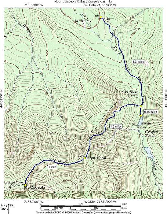
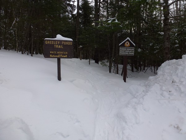
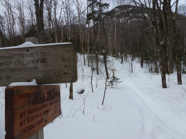
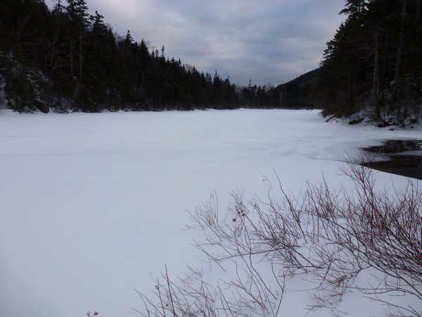
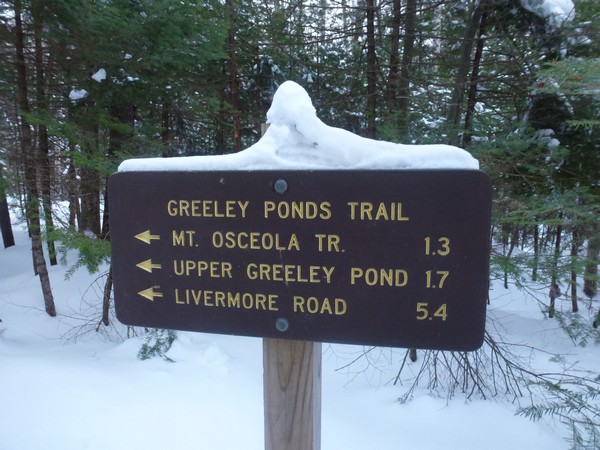
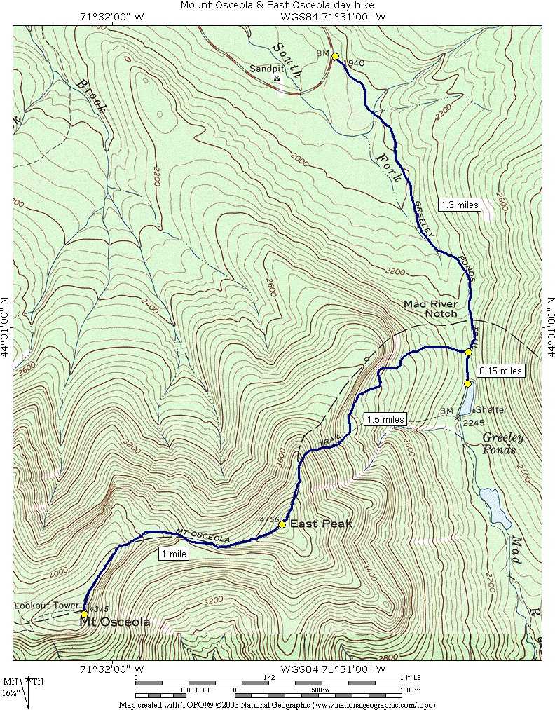
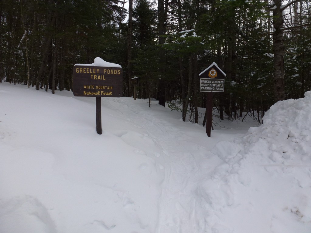
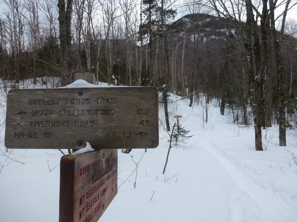
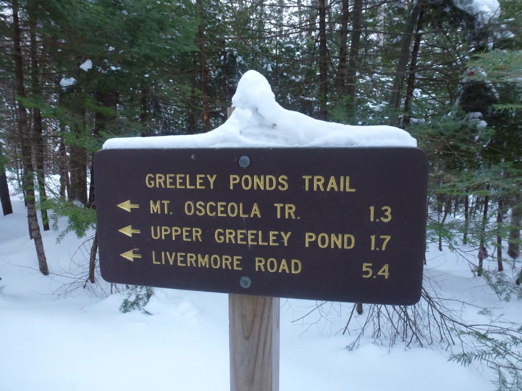
This day hike started at the parking lot for the Greeley Ponds Trail off of New Hampshire Route 112 (Kancamagus Highway) in Lincoln, New Hampshire. The parking area is located about 10 miles east from the Interstate 93 exit for Lincoln. From the parking lot I followed the Greeley Ponds Trail to the Mount Osceola Trail. I took that first to the summit of East Osceola and then continued to the main summit of Mount Osceola. For the return trip I mostly retraced my steps except for a slight detour to Upper Greeley Pond on the way down.
|
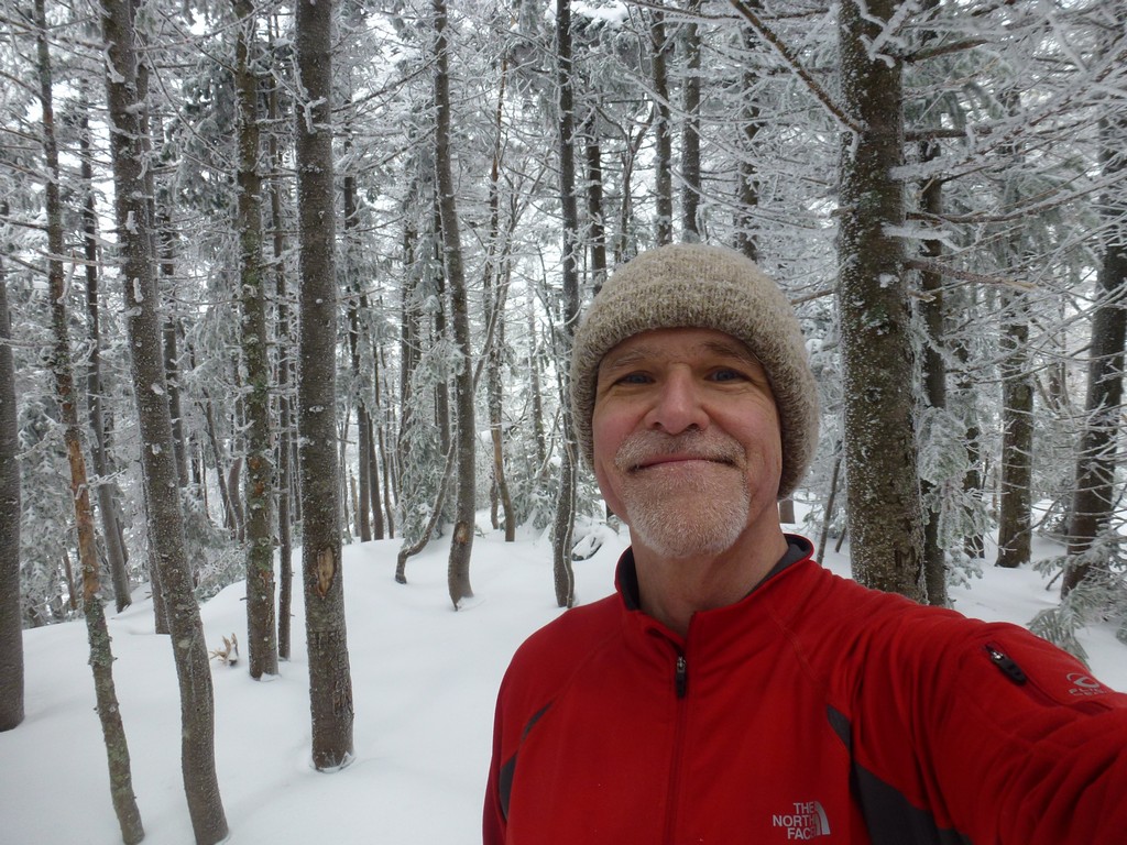
This day hike started at the parking lot for the Greeley Ponds Trail off of NH Route 112, the Kancamagus Highway, in Lincoln, New Hampshire. East (Peak) Osceola and Mount Osceola would numbers 30 and 31 on my New Hampshire winter 4000-footer list. I arrived at the parking area right around 8:30 and started hiking a little before 8:45. When I arrived at the trailhead the temperature was right at the freezing mark - 32°F. There was no wind at all so it felt pretty good once I started moving. I started hiking with just my base layer, mid layer and a fleece.
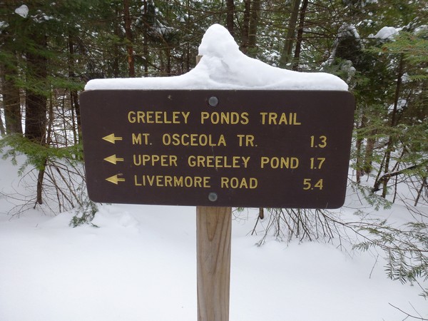
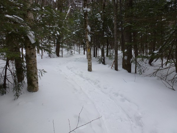
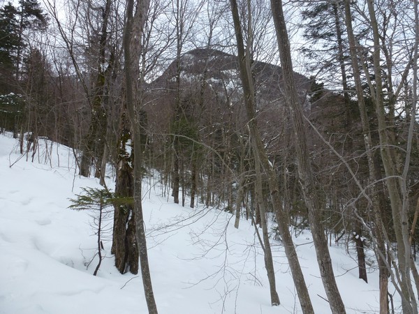
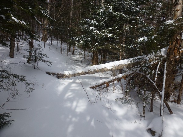
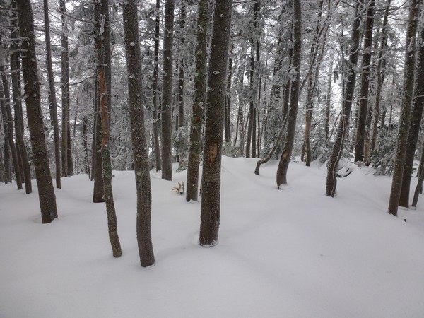
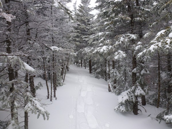
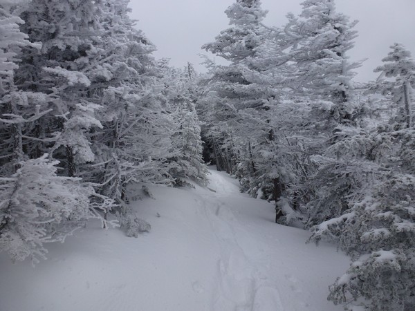
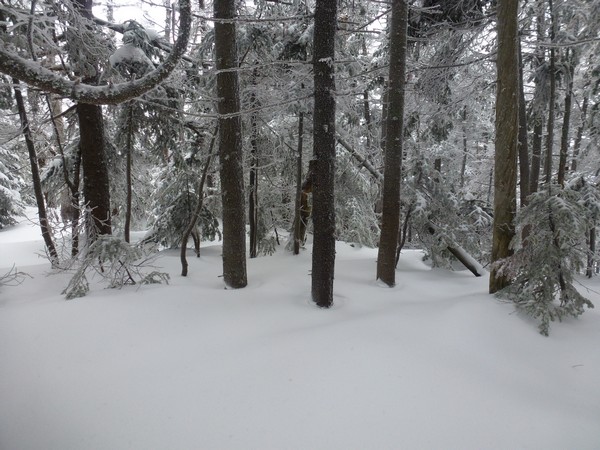
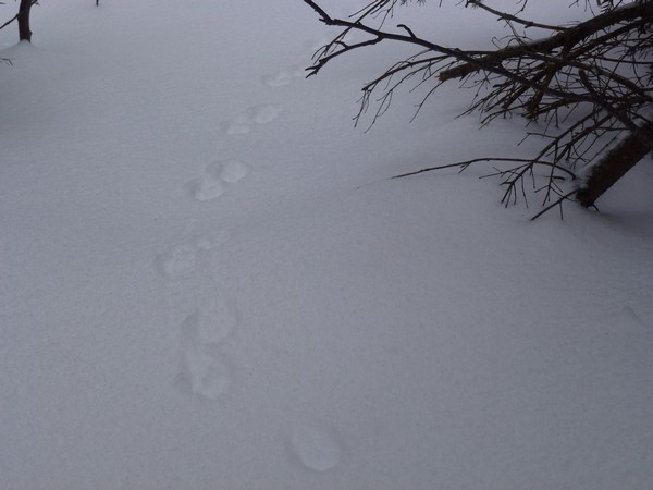
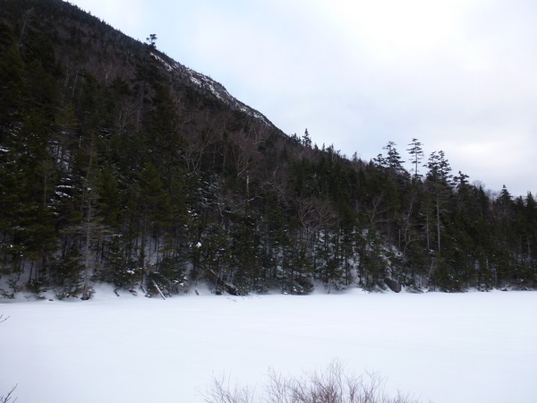
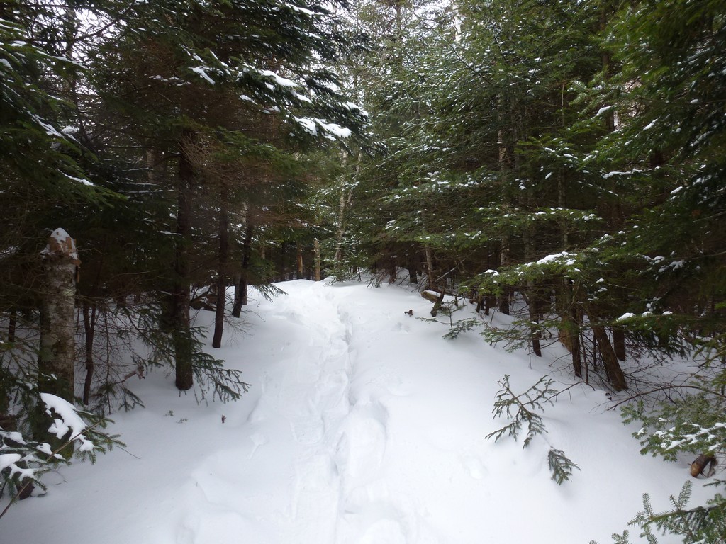
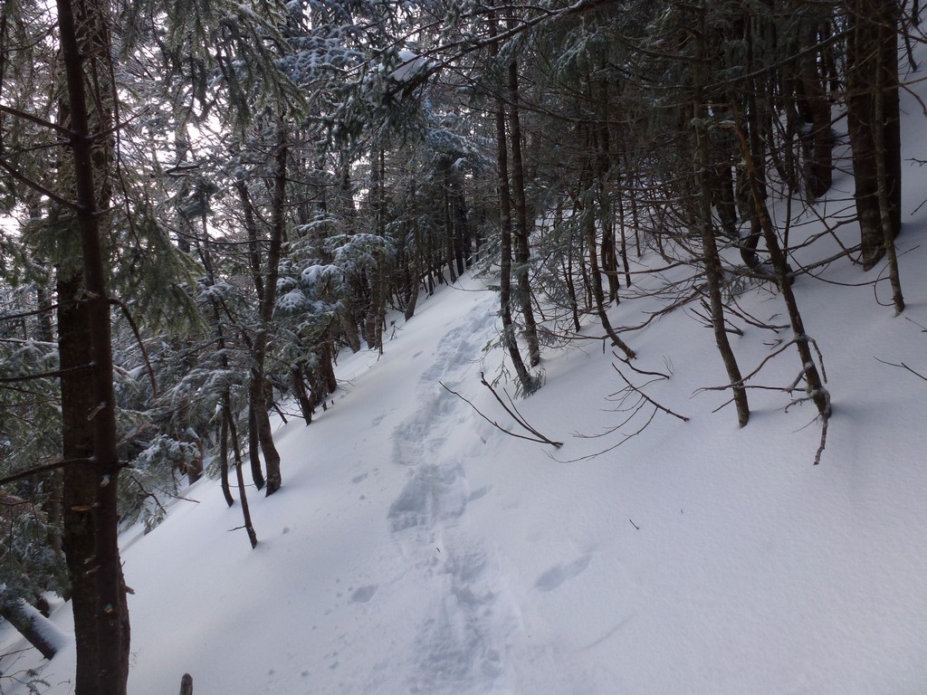
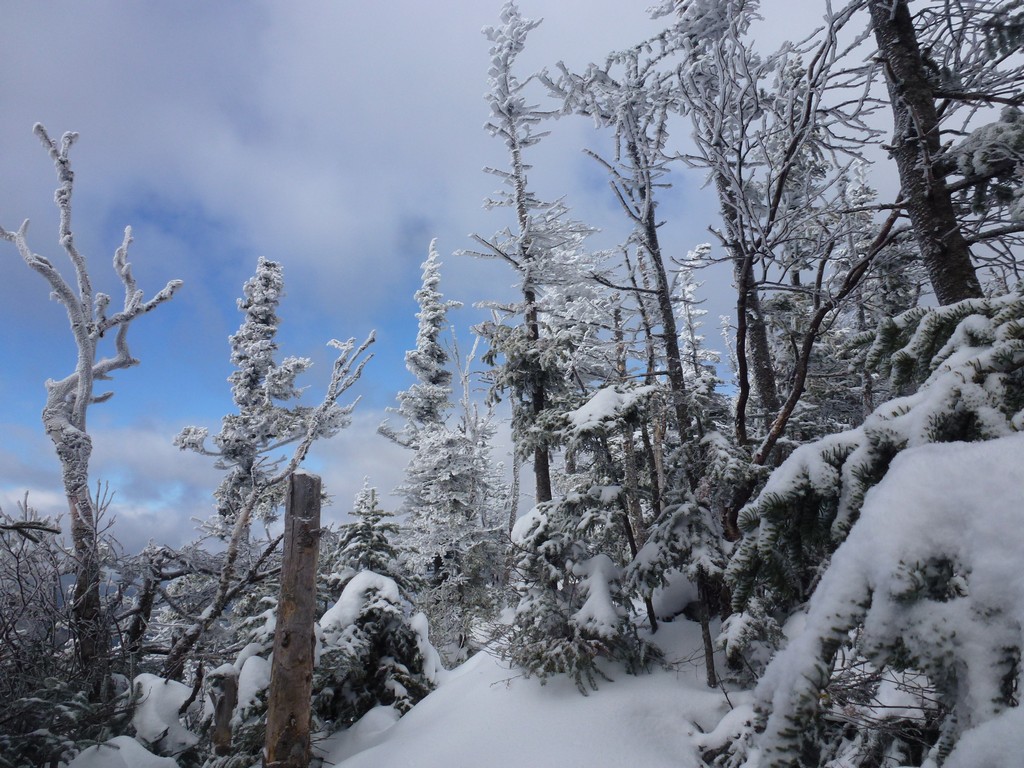
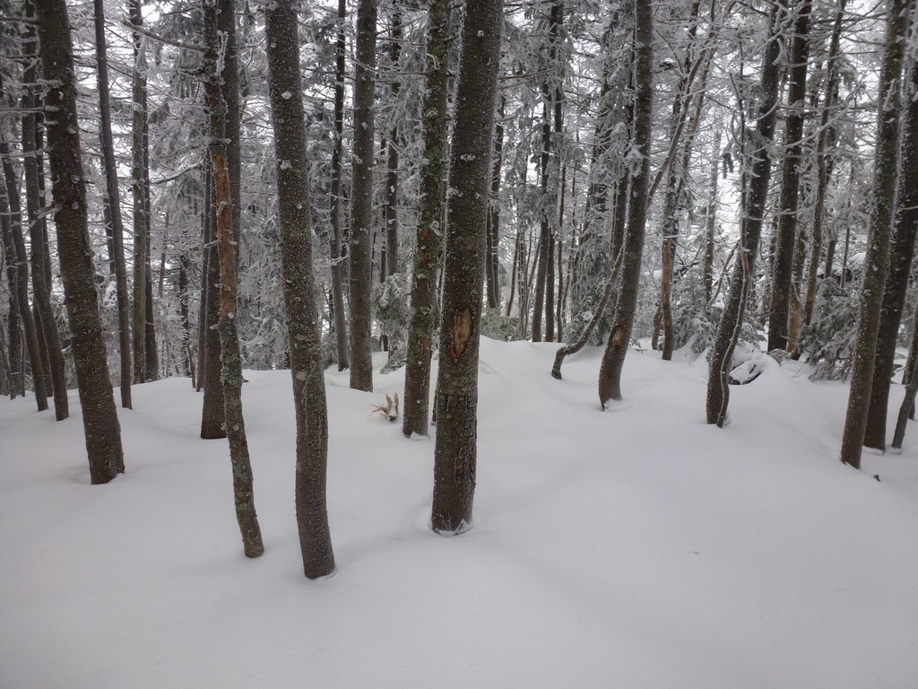
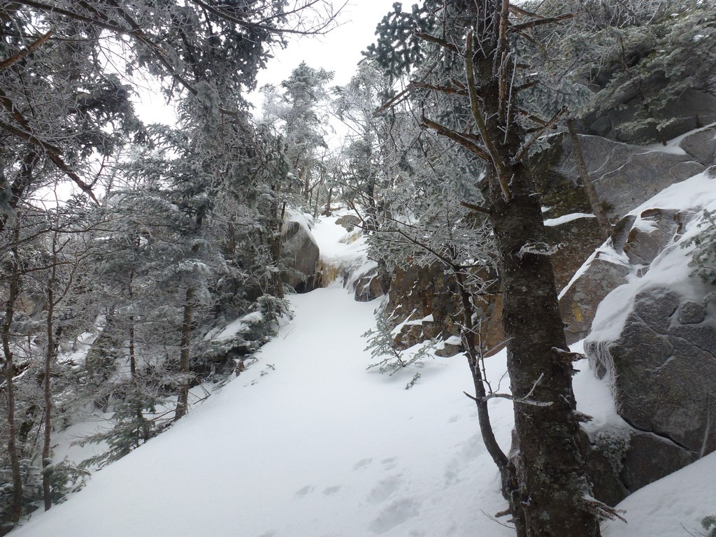
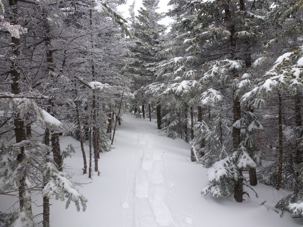
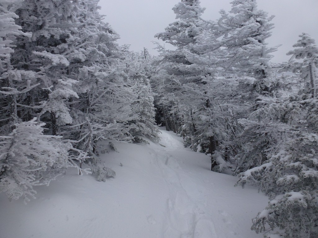
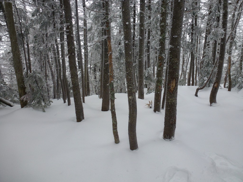
The first leg of the hike, up the Greeley Pond Trail to the Mount Osceola Trail was relatively easy. There had been a little snow the night before, perhaps 2-3 inches, but not a lot. This was on top of a very well-packed base, probably mostly from the blizzard the week before. I started out with just my microspikes but brought my snowshoes with me, assuming there would be a lot more snow higher up. There appeared to be one person on the trail ahead of me in very large snowshoes.
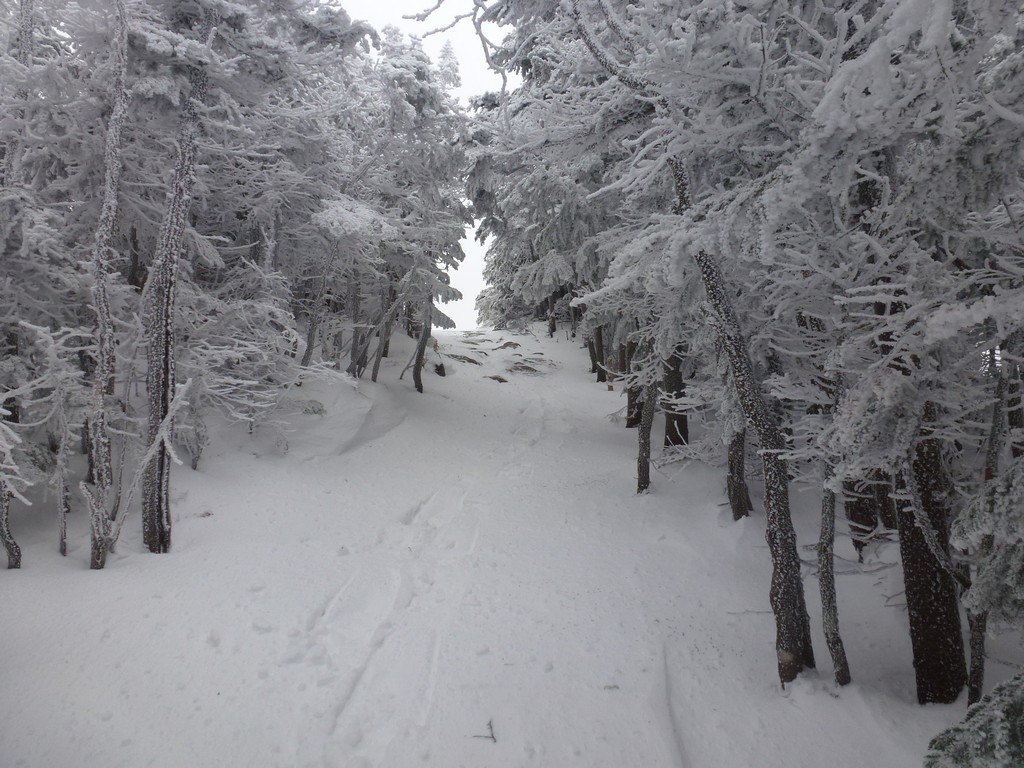
I had no problems on the Greeley Pond Trail and had the micospikes on all the way to the junction with the Mount Osceola Trail and it took about 40 miutes to cover the 1.3 miles.
|
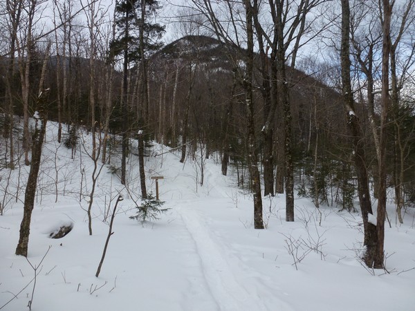
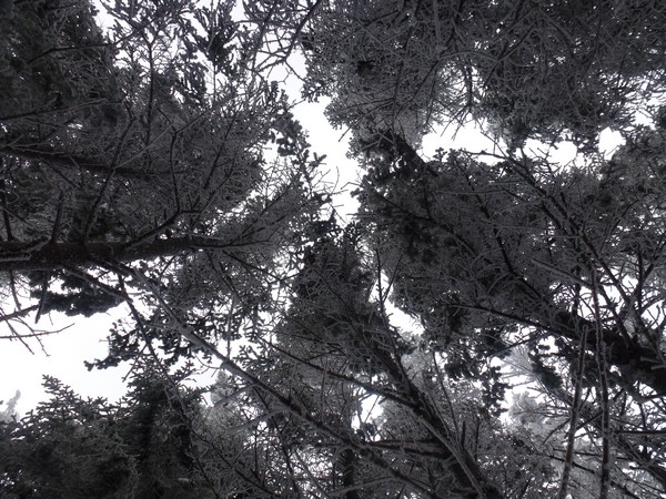
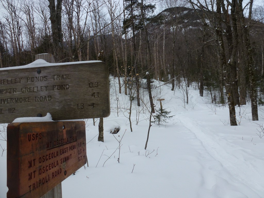
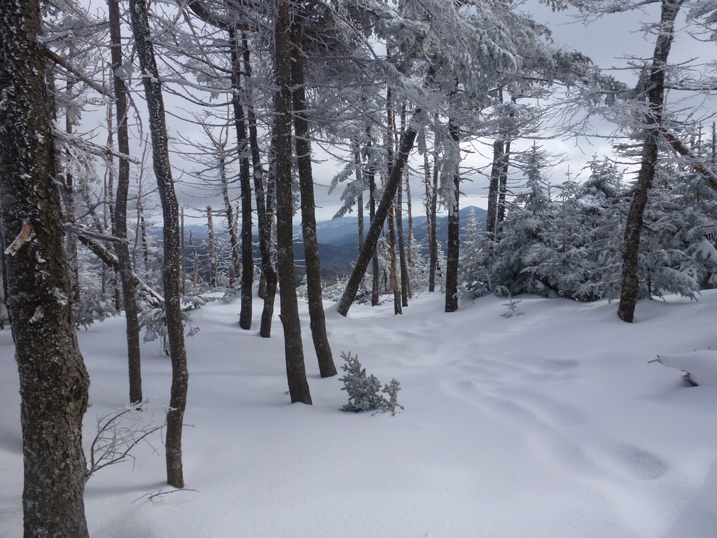
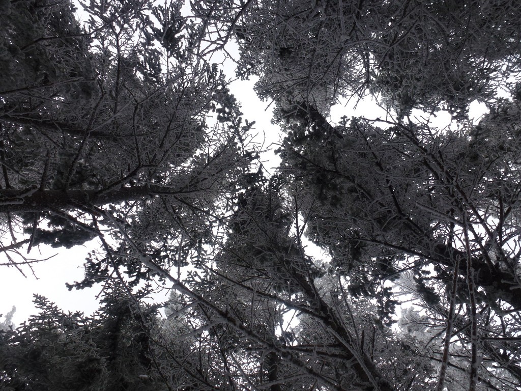
The snow started to get deeper as soon as I started up the Mount Osceola Trail and I doubt I went more than a couple hundred yards before I deided to put my snowshoes on. The trail also started to head uphill at a slightly steeper incline than the Greely Pond Trail and as long as I had the backpack off I decided to get rid of my fleece as well.
|
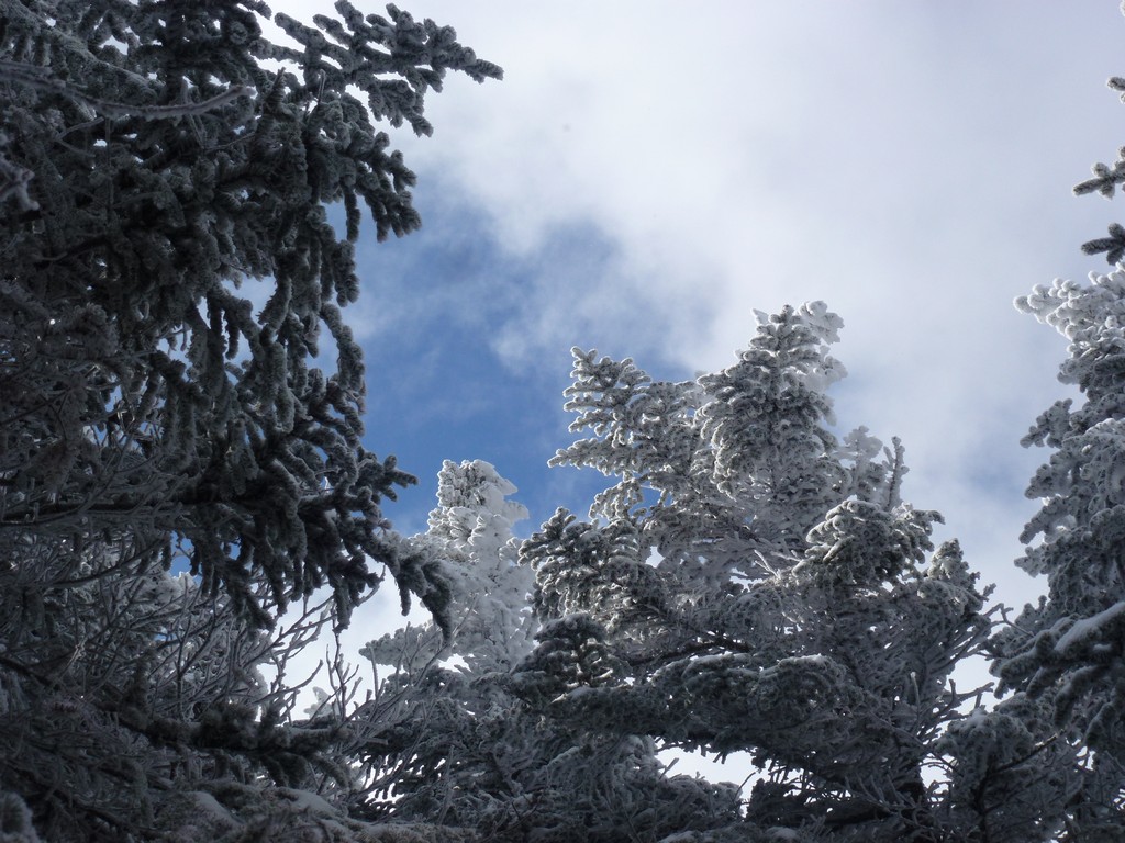
After traveling for about another 30 minutes the sky started to brighten, some gaps appeared in the clouds and the sun actually came out for a while. The forecast for the day was supposed to be partly cloudy for Lincoln so I was hoping I would have some sun for the rest of the day. The sun did not last long at all though and soon I was back to cloudy skies again.
|
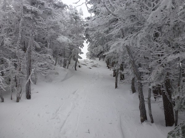
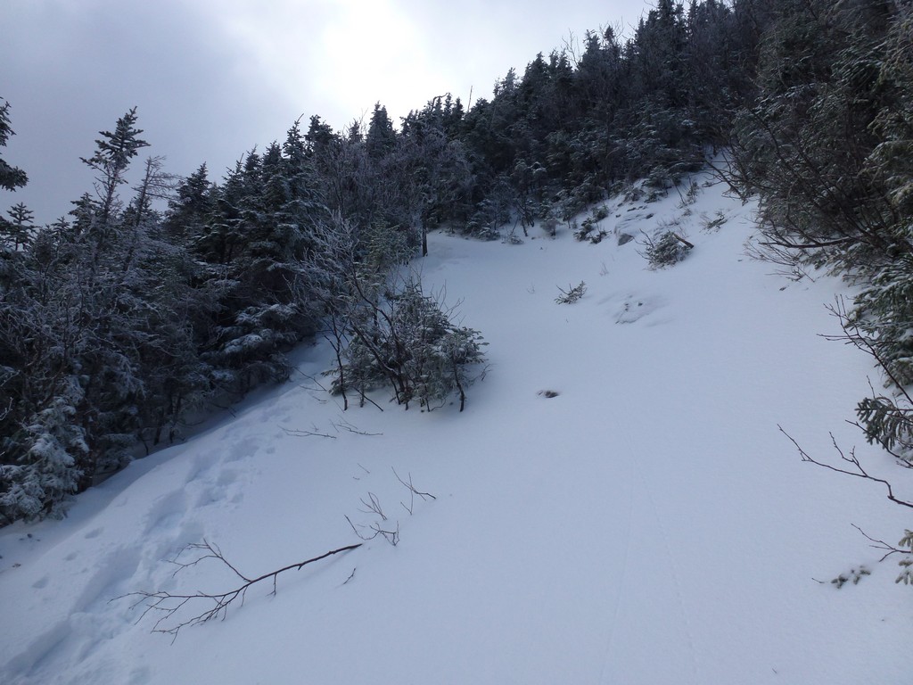
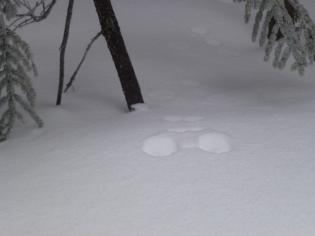
I traveled for about another hour on fairly easy trail that was not so steep and then the real fun started. I tried as best I could to stay in the tracks of the person ahead of me but theur showshoes were longer than mine and did not sink down into the snow as much. I sank a little deeper in my own even using the existing tracks. The snow was still not so deep but higher up it was more like 5 ot 6 inches of fresh powder.
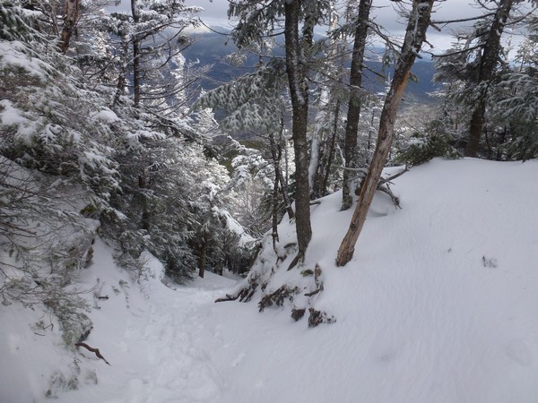
Some of the steep sections took considerable effort to go up as my snowshoes just did not want to grip the powder or the snow below it. The trail itself was not too bad but occasionally I would come to something that was more like a small cliff or ledge and there was just nothing but soft snow. In some cases I just had to keep piling up and smashing down snow until I had a high enough mound to use as a step.
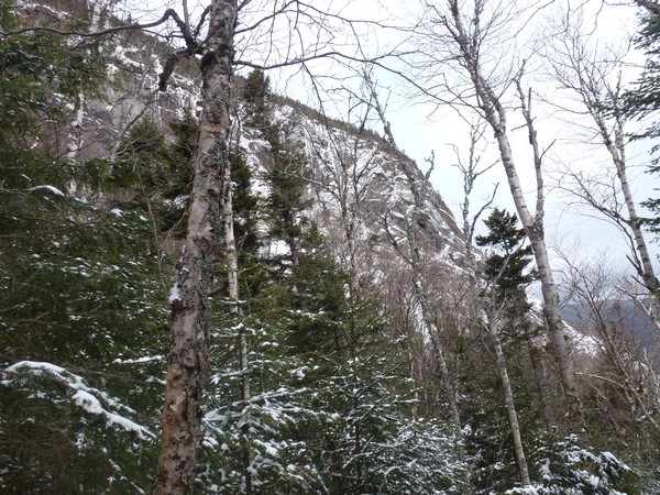
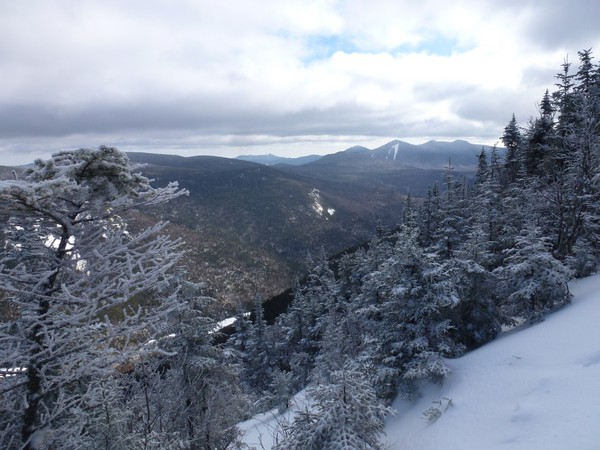
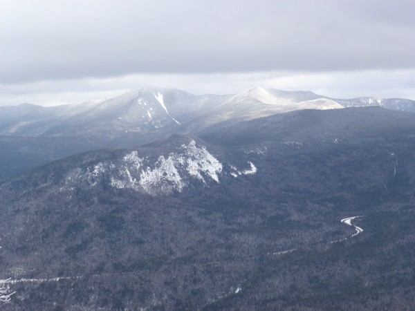
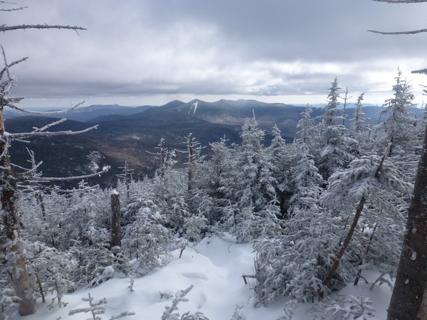
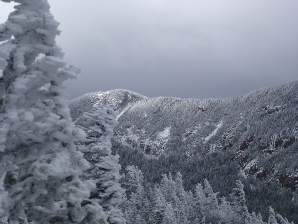
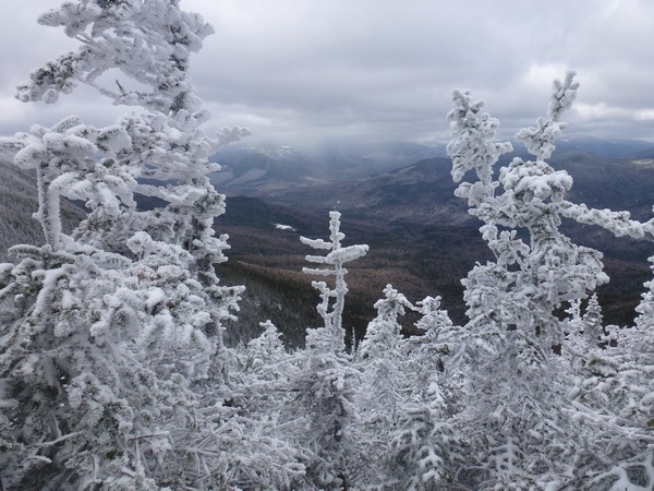
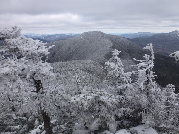
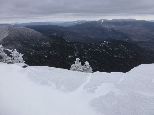
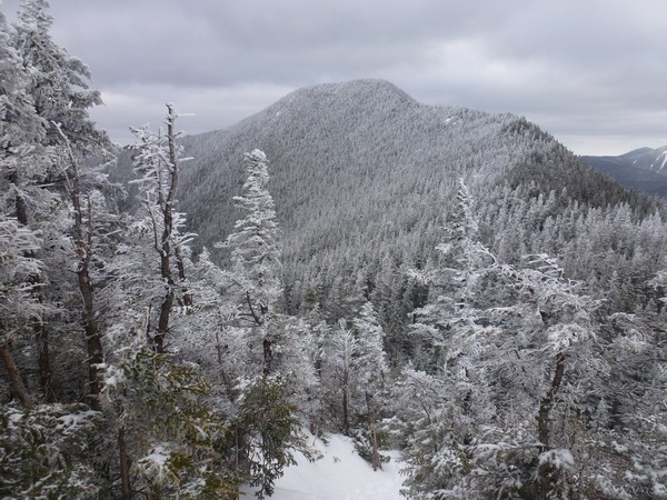
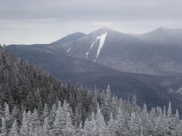
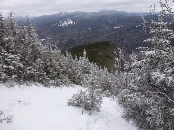
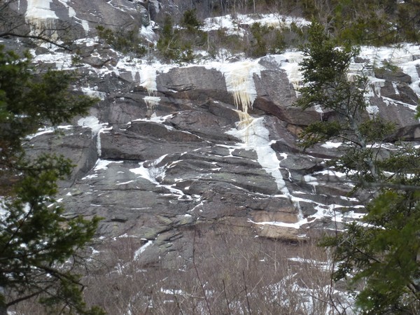
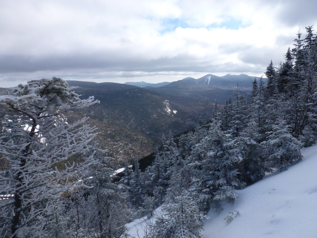
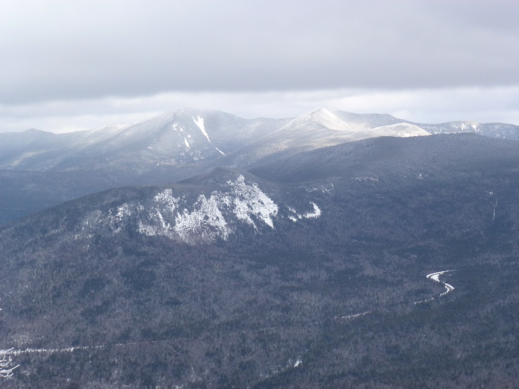
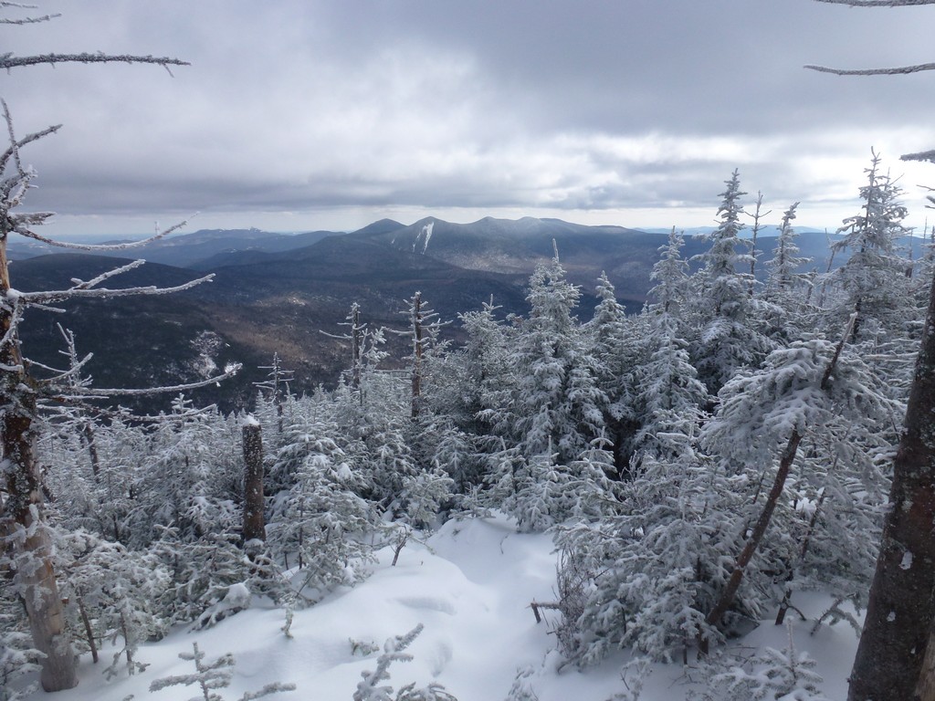
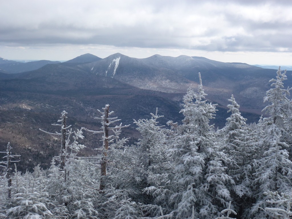
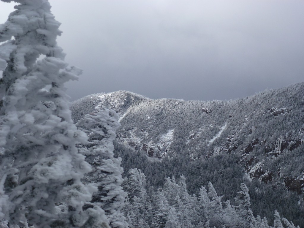
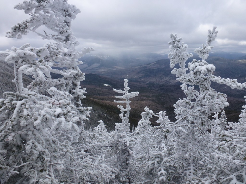
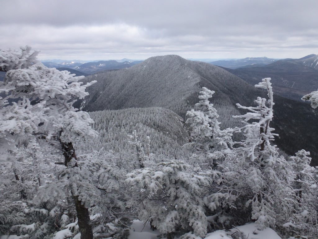
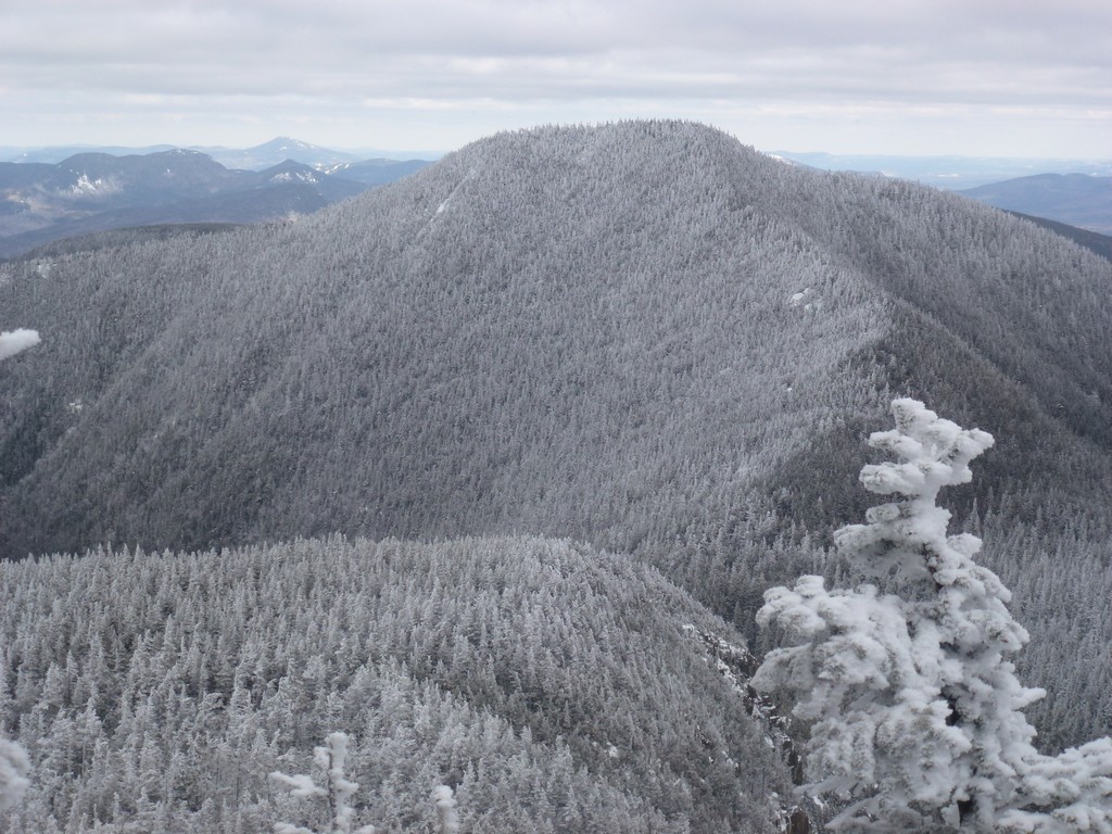
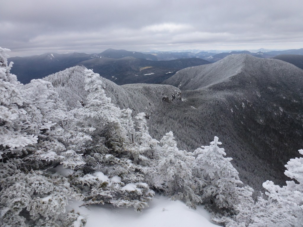
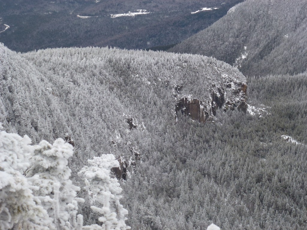
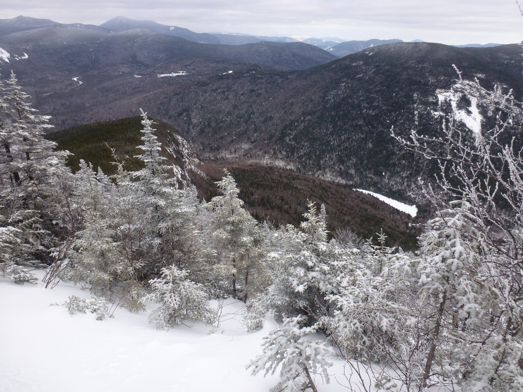
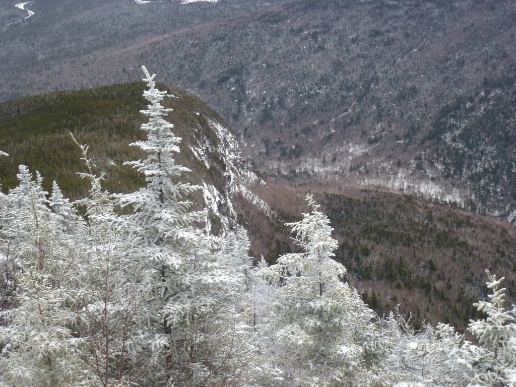
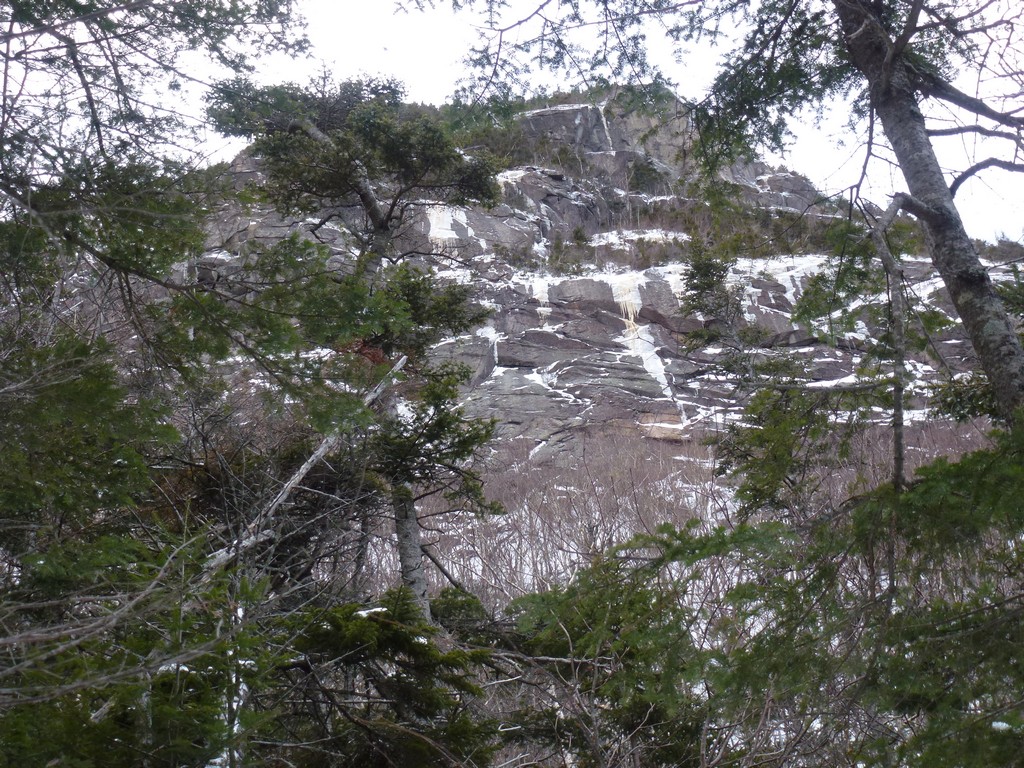
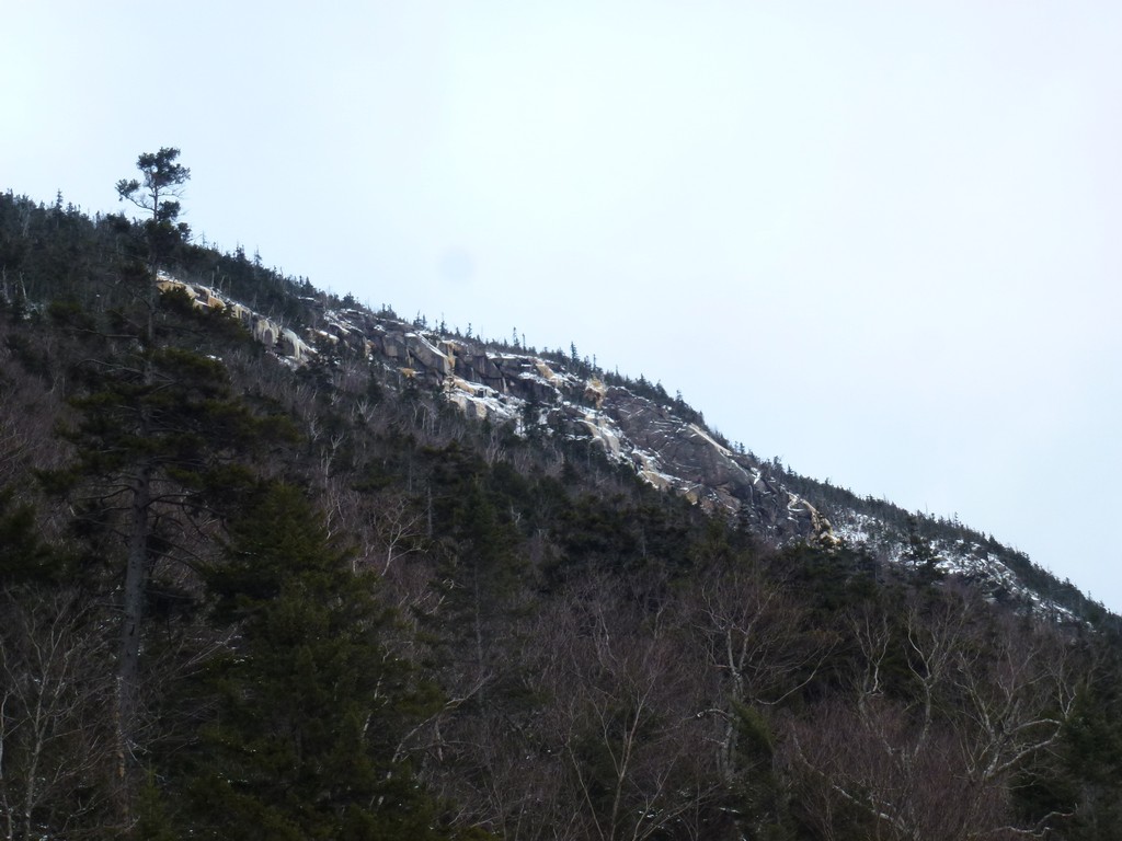
There was an awesome view to the north and east from the bottom of one of these steeper climbs. I could see the Tripyramids off to the east and Mounts Kancamagus, Huntington and the Hancocks to the north. I was not looking forward to coming back down this steeper section as it seemed like it was going to be more of a controlled slide than anything else and there was a bit of a cliff at the base that one would go over if one could not stop in time.
|
I was very happy when I finally finished with the steep stuff and got up to the ridge just below the east peak. I knew that the worst of the climbing was behind me and that the climb remaining to the ridge and then the climb to the main peak beyond would be considerably easier.
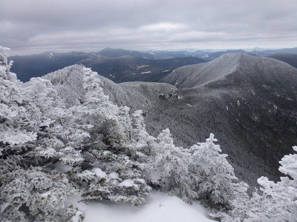
There was another really nice overlook off to the side of the trail almost as soon as I reached the ridge that afforded a very nice of the Tripyramids to the east.
|
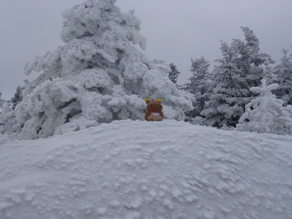
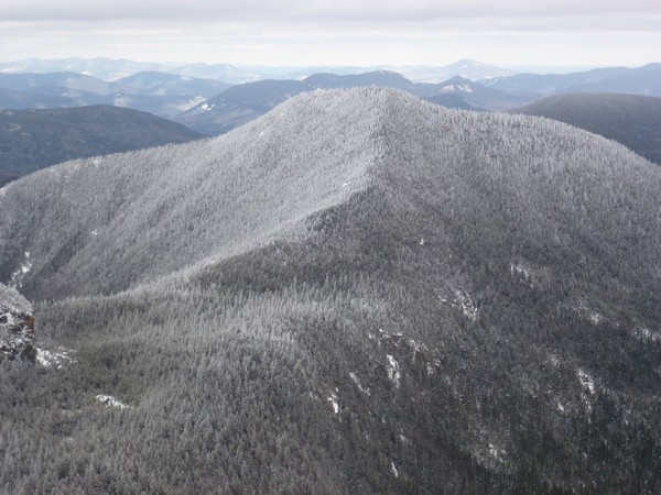
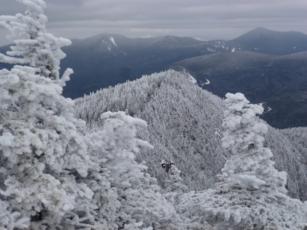
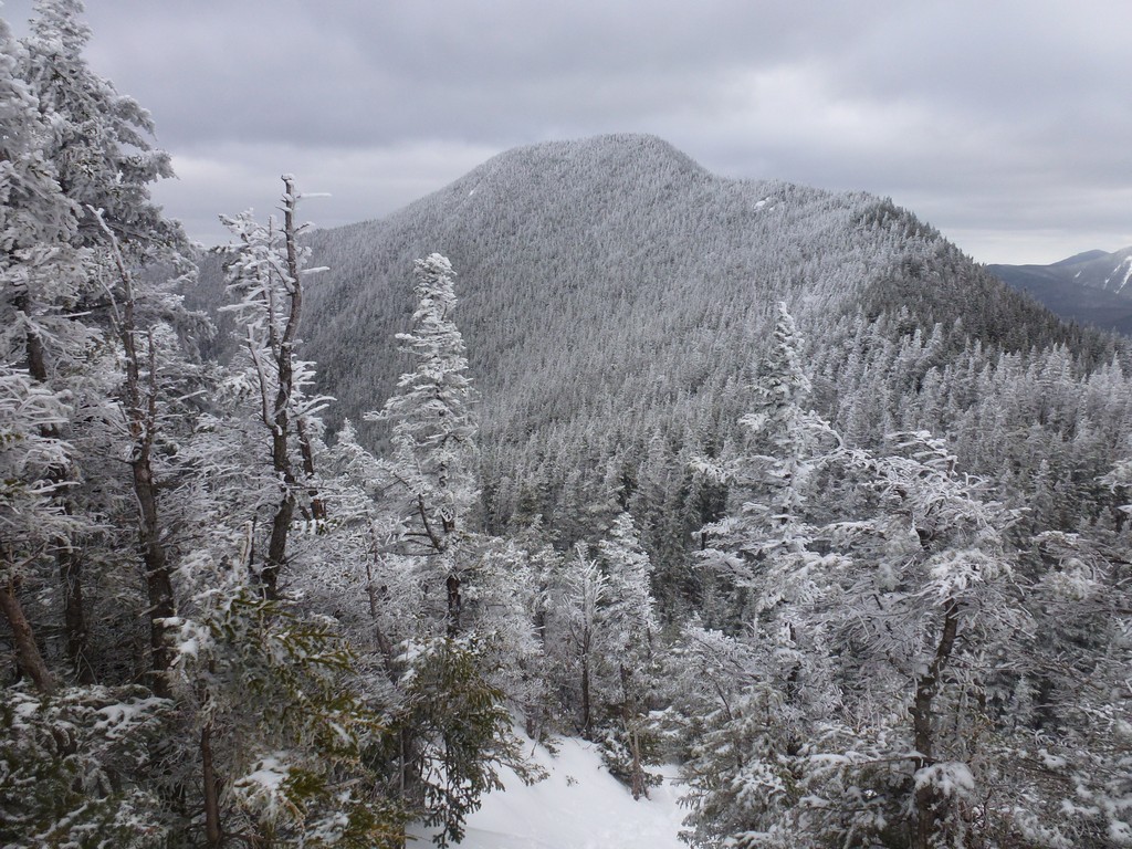
From the overlook it was a little more than five minutes to the unimpressive summit of East Osceola. I stopped there just long enough to take some photos before continuing on to the main summit of Mount Osceloa about a mile away.
|
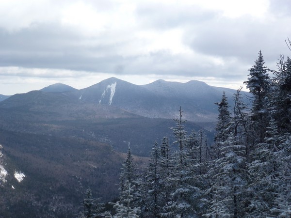
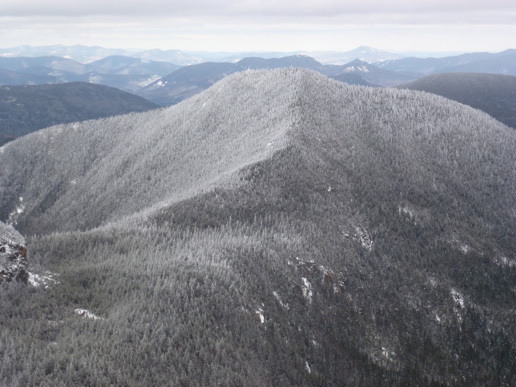
I had a couple of really nice views of Mount Osceola and the ridge leading to it from the south side of the east peak. The trail going down to the saddle between the east and main peaks had a couple of steep sections but nothing like what I had come up on the north side.
|
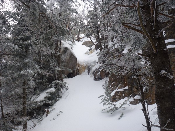
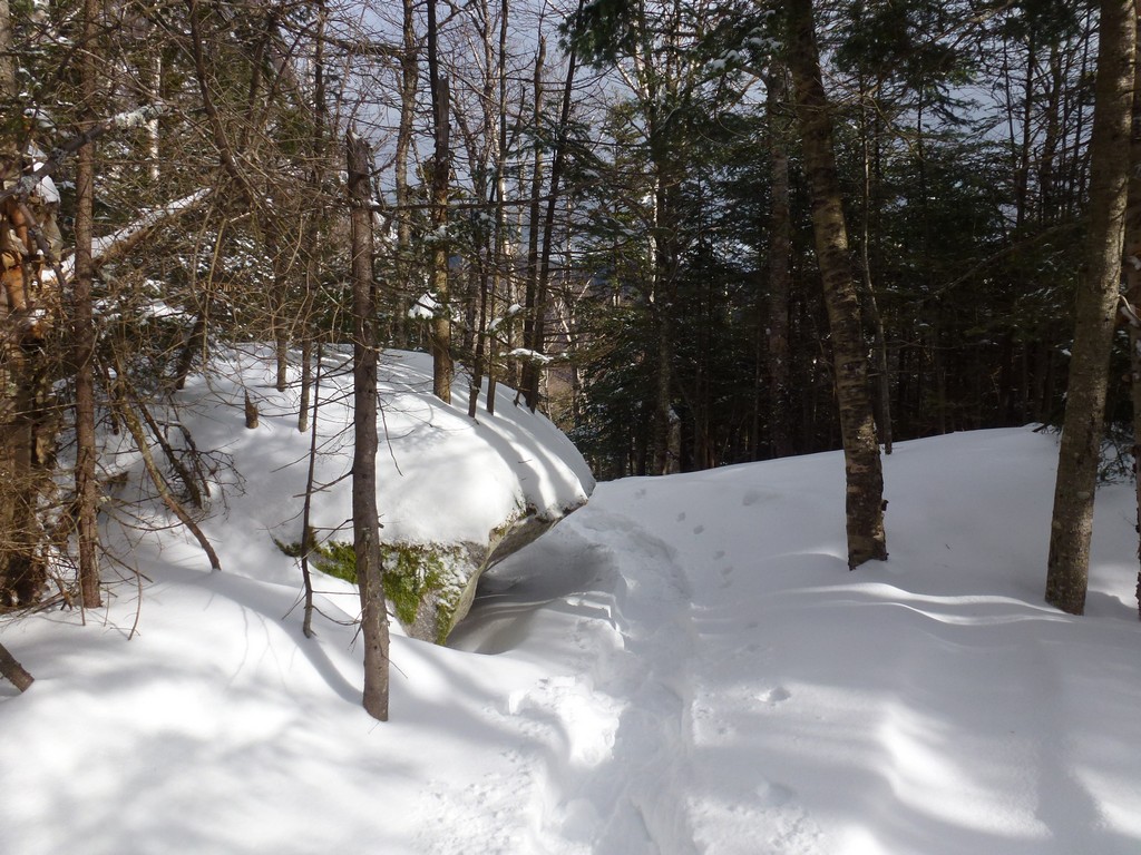
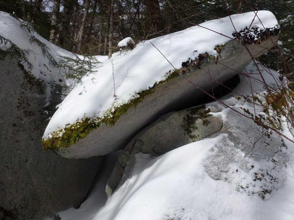
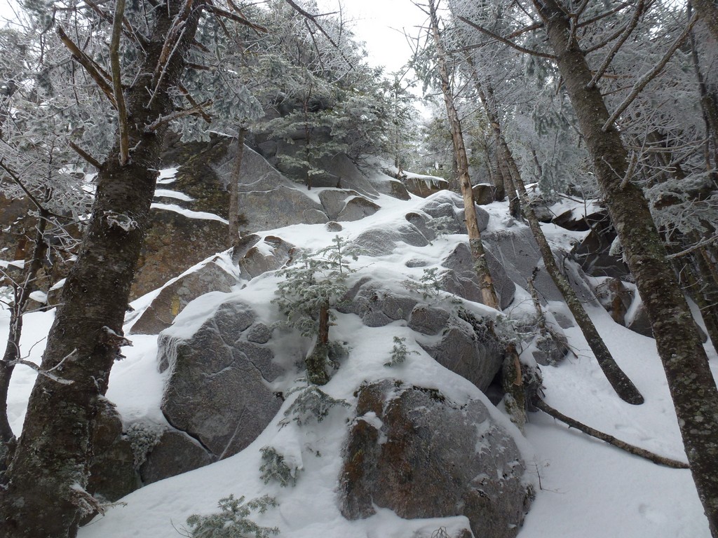
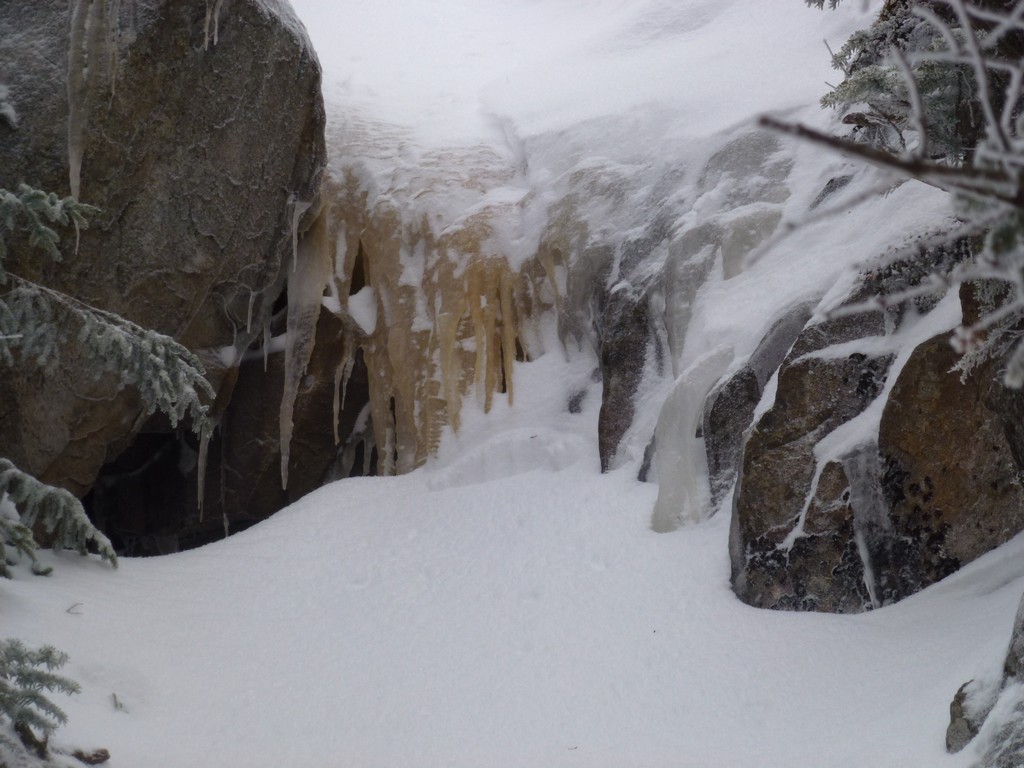
And then I got to The Chimney. There were no tracks going up through The Chimney itself and the person I was following obviously took off their snowshoes here and switched to something else. The bypass going around was just a pile of boulders covered in snow and snowshoes were not going to work there. I put my microspikes back on just to get some additional traction.
The bypass looked a lot worse than it really was and it wasn't that hard climbing up and it wasn't very long before I was back on real trail again. The person ahead of me had put their snowshoes back on so I did the same.
|
There were a couple of steep sections going up to Mount Osceola but these were still not as bad as what I encountered going up to the east peak. There was really only one small section where I had a hard time getting some solid footing but I eventually found some rocks below the snow to either side of the trail that helped quite a bit.
|
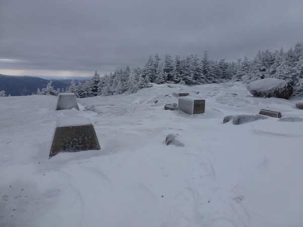
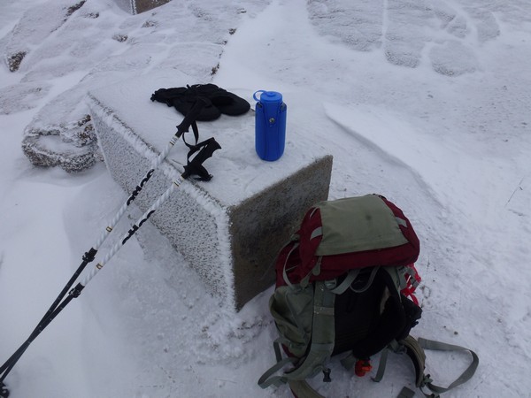
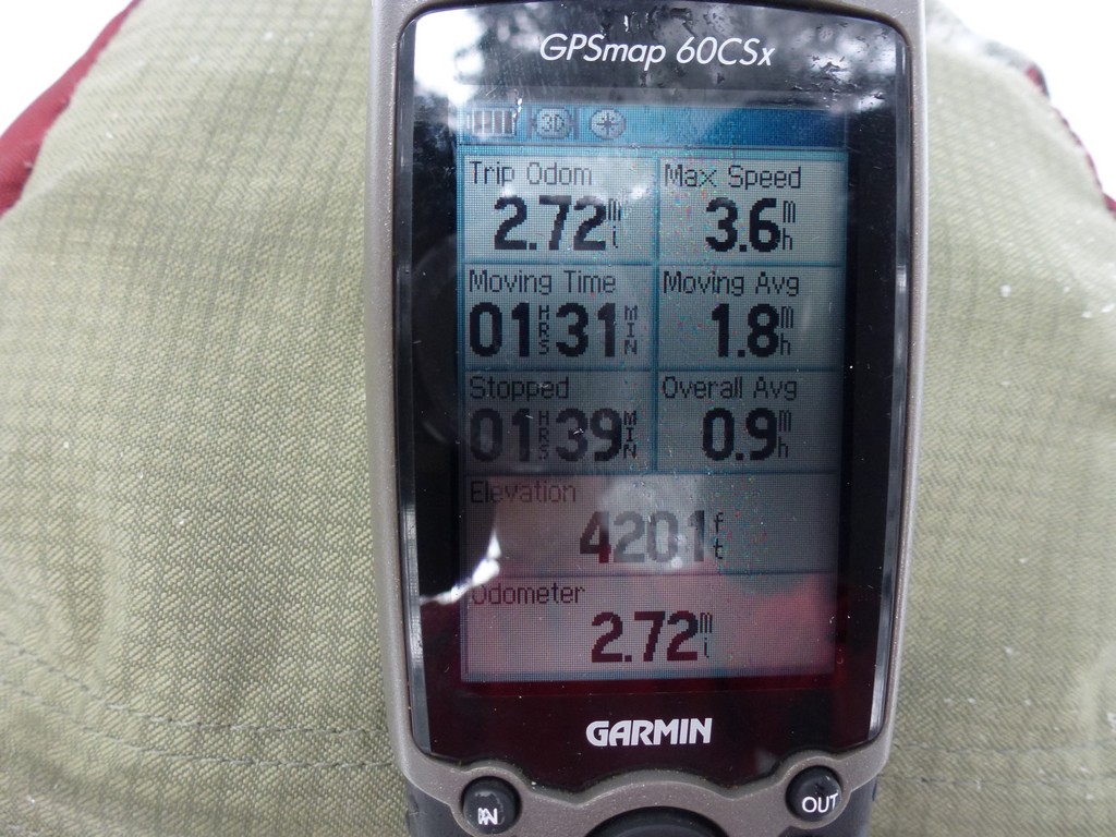
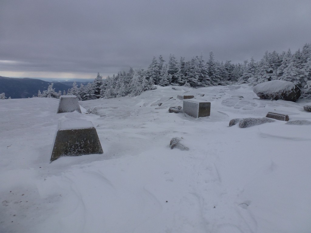
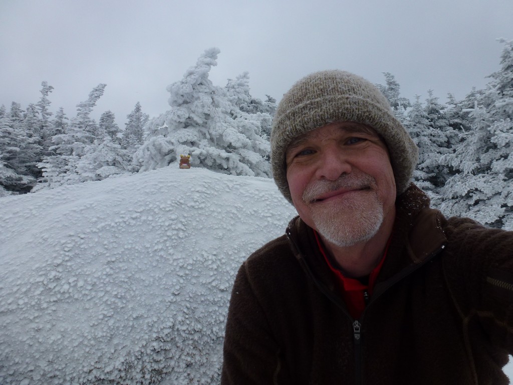
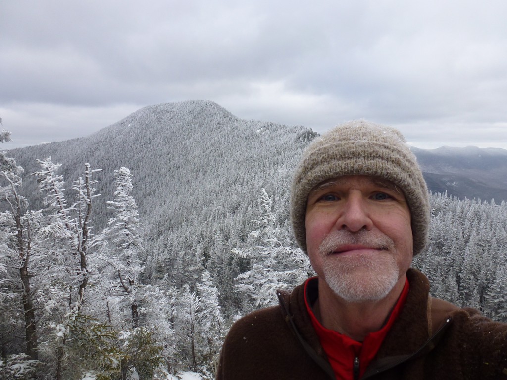
It felt good to be on top of Mount Osceola and to be half way through the hike. It did not feel good that it was 1:30pm and it had taken almost 5 hours to get there. It was only a little more than 3½ hours but it took a long time to get up those steep sections on East Osceola.
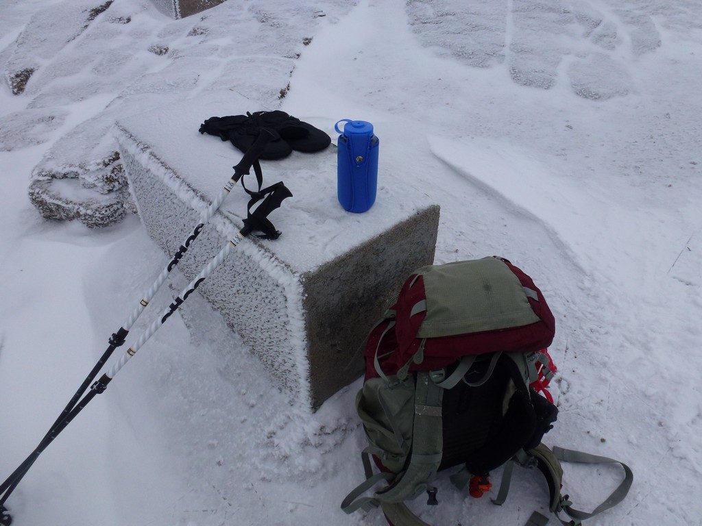
It was not that cold on the summit, or at least it didn't feel cold. I checked my thermometer and it said about 20°F but there was no wind. I hadn't had anything to eat since breakfast and hadn't been drinking that much either so I rested a while, scoffed down some food and finished off my first water bottle. I spent some time taking photos after and was on top for a total of about 15 minutes before started back to the east peak.
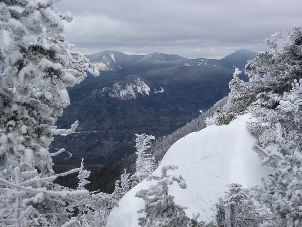
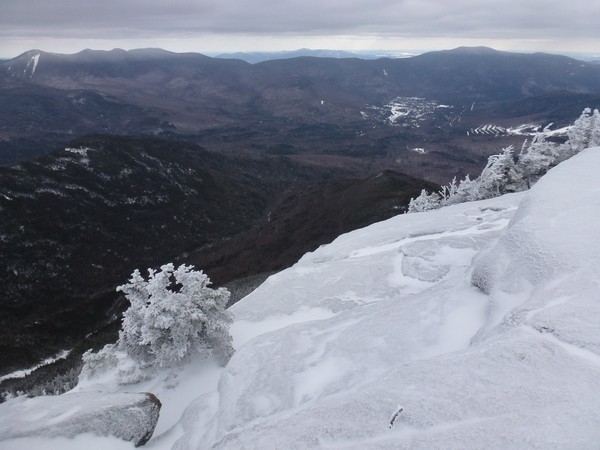
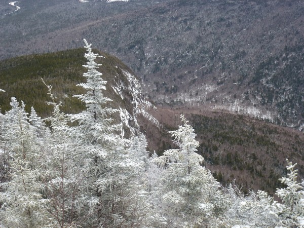
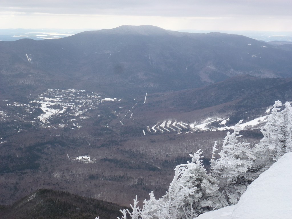
There were some awesome views from the cliff on the east side of the summit and I could see all the way from Waterville Valley to the south back around to the east peak in the north.
|
The trip back to the east peak was uneventful. I got some practice on the steep sections going down from the main summit that would be a little warm-up for what I was not looking forward to descending from the east peak. I had to switch to microspikes again going down the chimney bypass. There was a little climbing going back up the south side of the east peak.
|
It took about an hour to get back to the east peak and it was now closing in on 3pm. I was seriously hoping that I would be able to make up some time going back down to the Greeley Pond Trail from the east peak and that the steep sections would not slow me down.
|
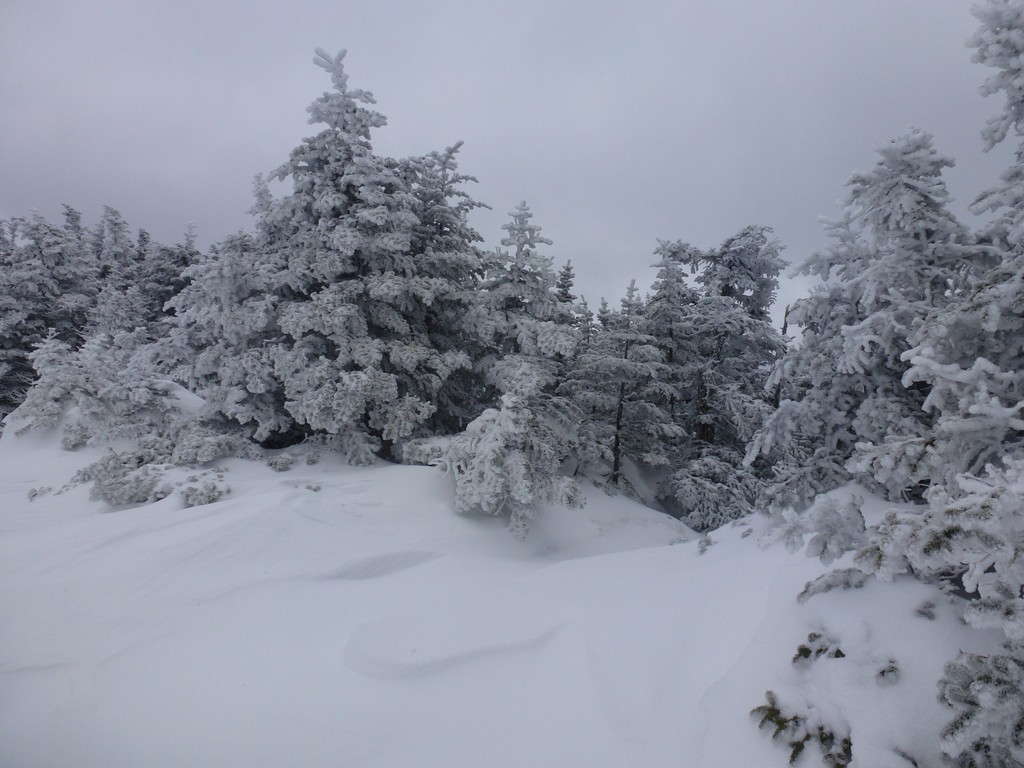
The steep sections were really not that bad and I made very good time going down them. It was more or less a controlled slide but in most places it was easy to conttol. Luckily I got a lot of practice in before I got to the really steep section with the cliff below that I had so much trouble coming up. Looking at it from the top now didn't seem so bad and I was able to go down in considerably less time than it took to come up.
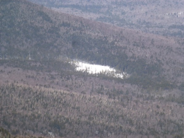
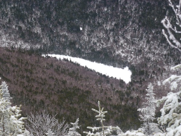
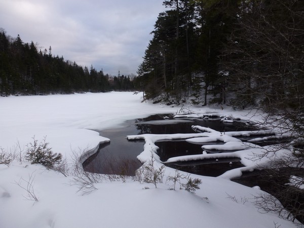
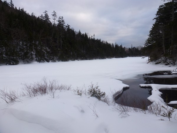
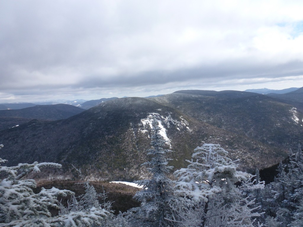
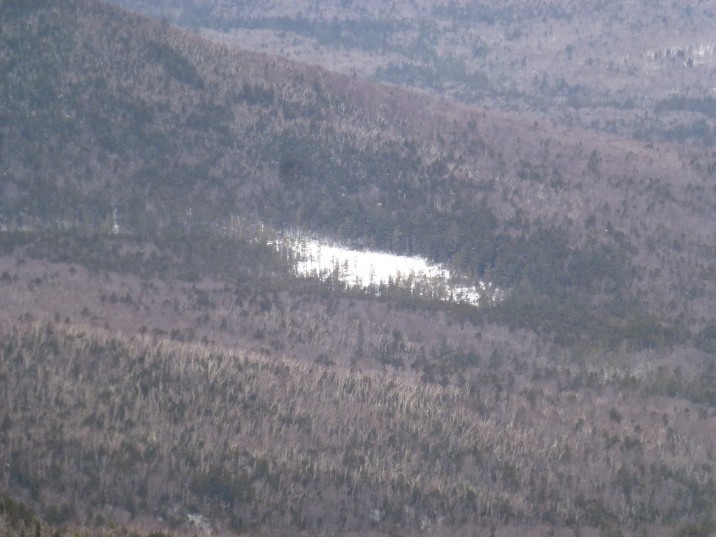
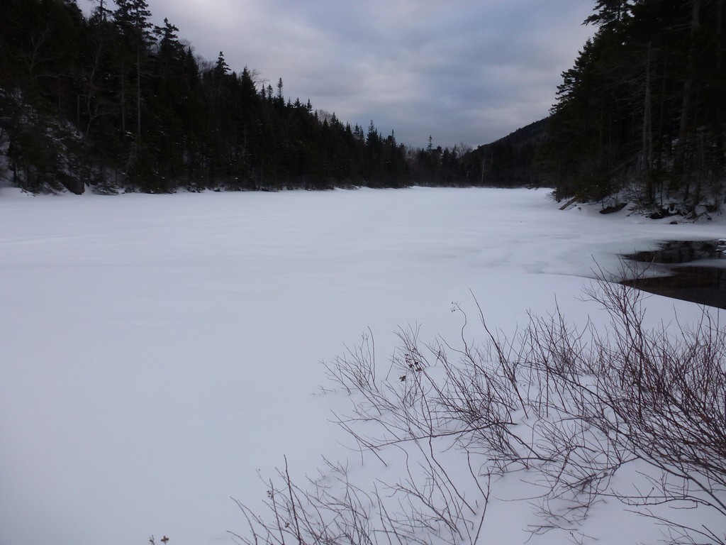
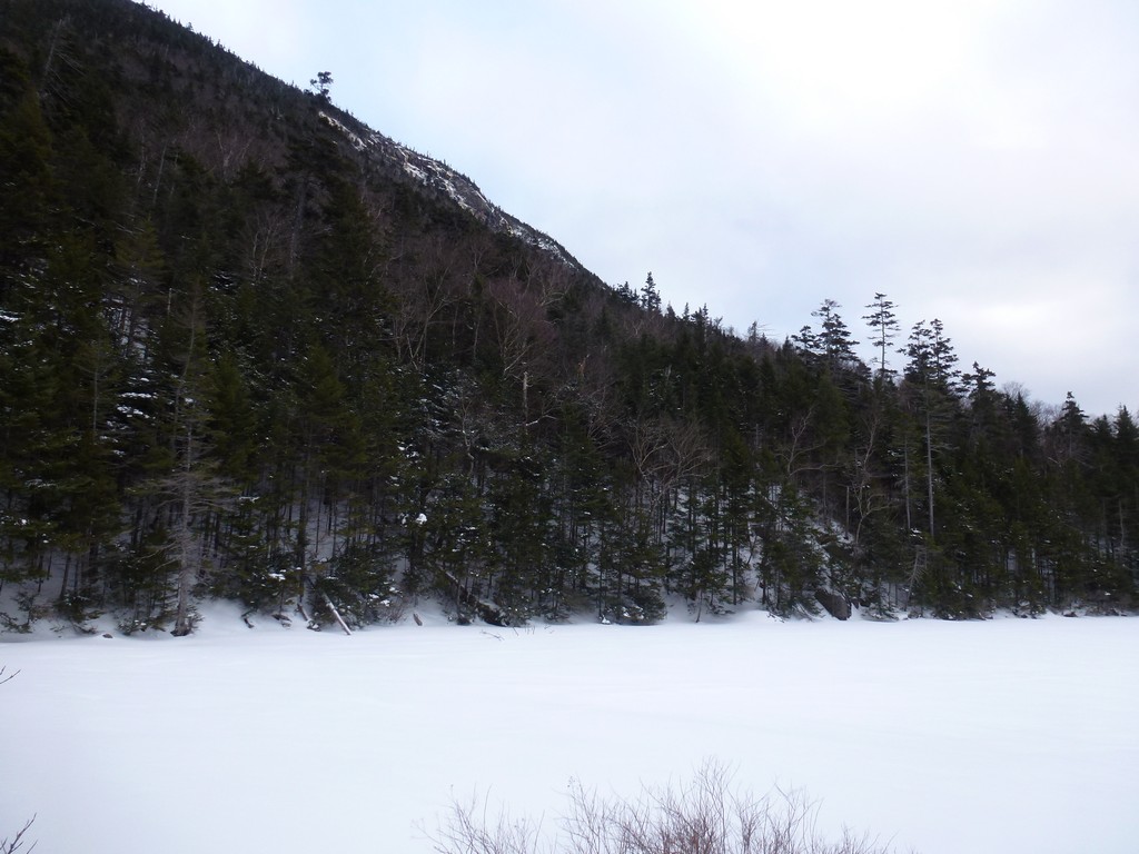
The views from this spot really made it worth it. I had nice views of the Greeley Ponds below and hoped I could make it back down with enough time for a little side trip to Upper Greeley Pond.
|
There were still a couple of easier steep section beyond that big one but I pretty much flew down those and was making very good time on the descent. It felt good to finally be below the cliffs on the north side of East Osceola as I knew I was getting very close to the Greeley Pond Trail.
|
I arrived back at the Greeley Pond Trail just a little before 4pm and figured I had enough time for the little side trip to Upper Greeley Pond so I started in that direction. I knew the sun was not going to set until after 5pm and I would probably have pretty good light until 5:30 and I only had about 1½ miles left to cover. And I did have my headlamp if worse came to worse.
|
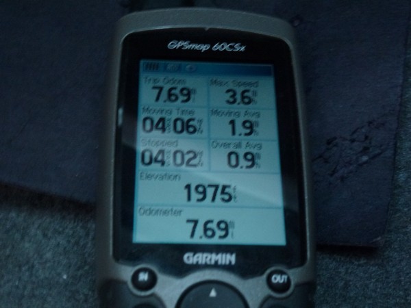
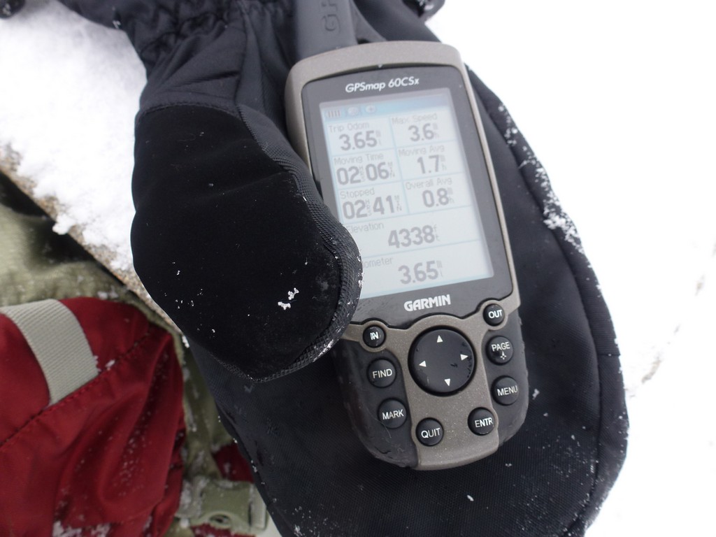
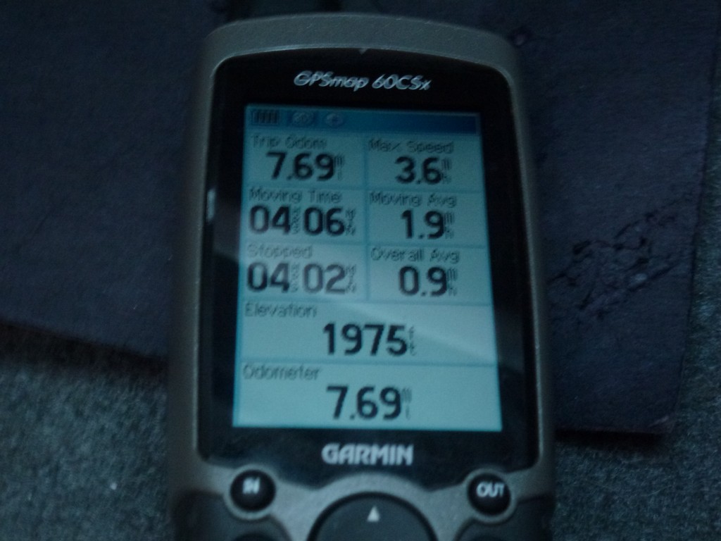
I made very good time on the side trip and then on the trip back from there to the parking lot. It was just a little past 4:45 pm and the total time for the hike was almost exactly 8 hours. My moving average for the day was 1.9 and I normally avereage 2.0 or a little better. The overall average was only 0.9 mph. I still do not understand how my GPS calculates "stopped time" as there was no way I was stopped for 4 hours and moving for 4 hours. I would be surprised if my actual stopped time was more than 1½ hours. My only guess is that times that I was moving very slowly going up the steep snowy sections somehow count as stopped.
|
|
|
|---|
|
|---|


