|
Mount Moosilauke day hike |
|---|
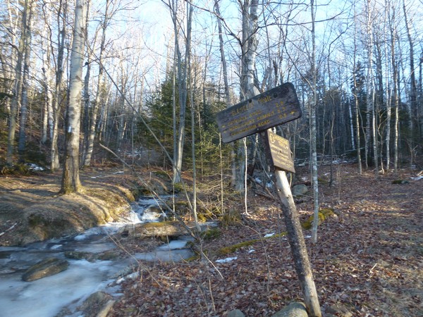
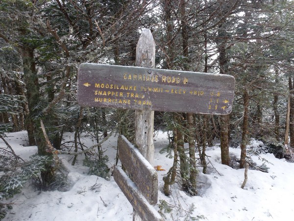
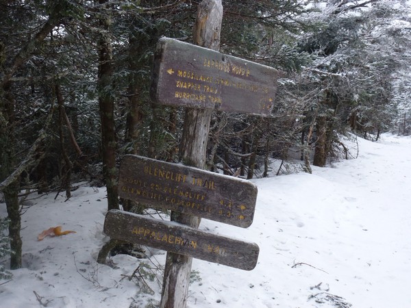
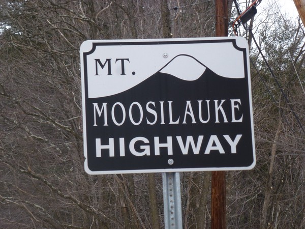
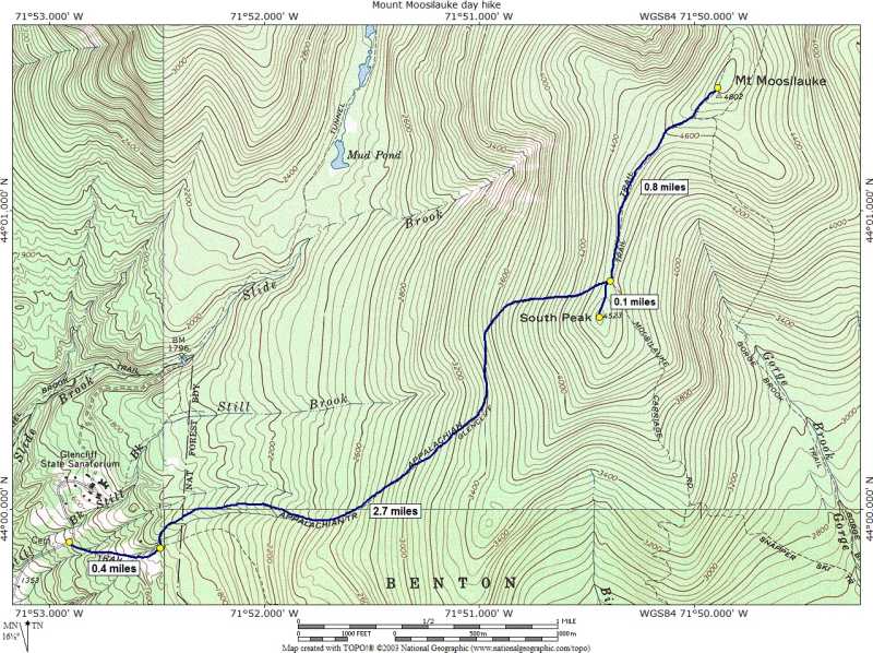
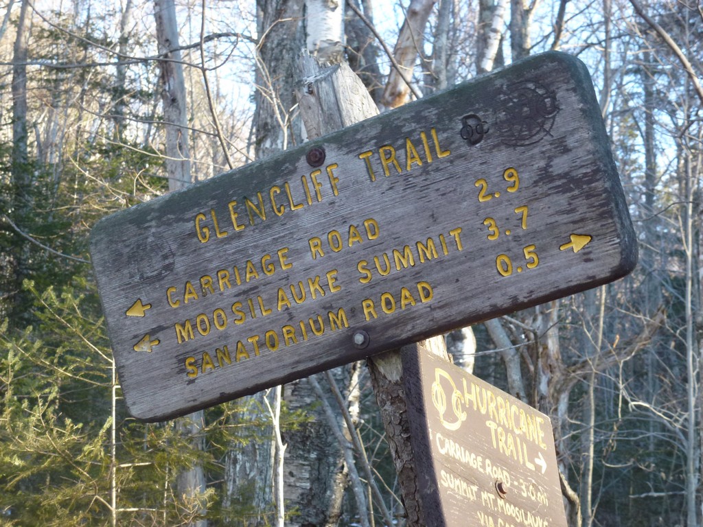
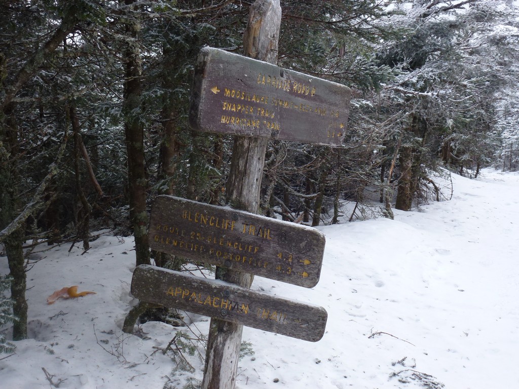
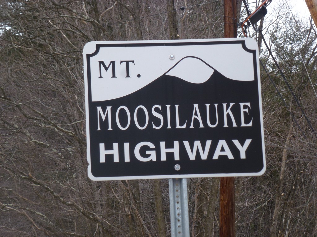
This day hike started at the parking lot for the Glencliff Trail off of High Street in Warren, New Hampshire. High Street is located off of New Hampshire state route 25---the Mount Moosilauke Highway---in the village of Glencliff. From the parking lot I followed a road which is actually part of theAppalachian Trakl to the beginning of the Glencliff Trail. I took that to the ridge where it joins with the Mount Moosilauke Carriage Road and the continued to the summit of Mount Moosilauke. For the return trip I mostly retraced my steps except for a slight detour to South Peak on the way down.
|
This day hike started at the parking lot for the Glencliff Trail off of High Street in Warren, New Hampshire. Mount Moosilauke would number 29 on my New Hampshire winter 4000-footer list. I arrived at the parking right at 8:15 and we started hiking just a few minutes later. When I checked the weather for Lincoln before leaving home (around 4am) it was only 9°F with a "feels like" temperature of around 4°F. There was a light wind but not much and that was supposed to die off later in the morning. By the time I got to the parking area in Warren the temperature was only 7°F but there was no wind and it didn't feel that bad. I started hiking with just my base layer, mid layer and a fleece.
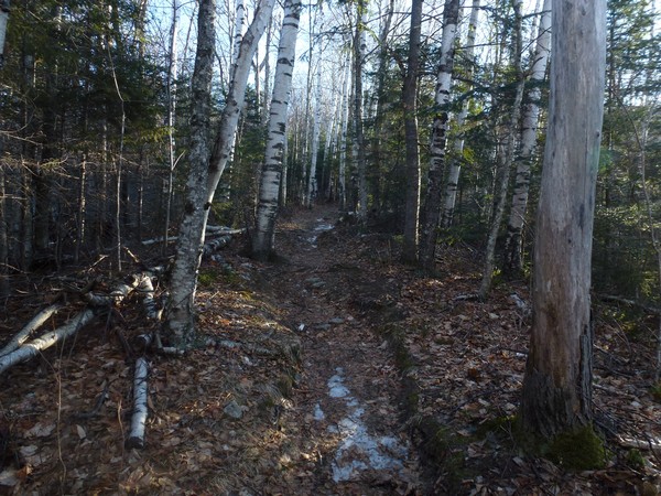
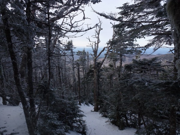
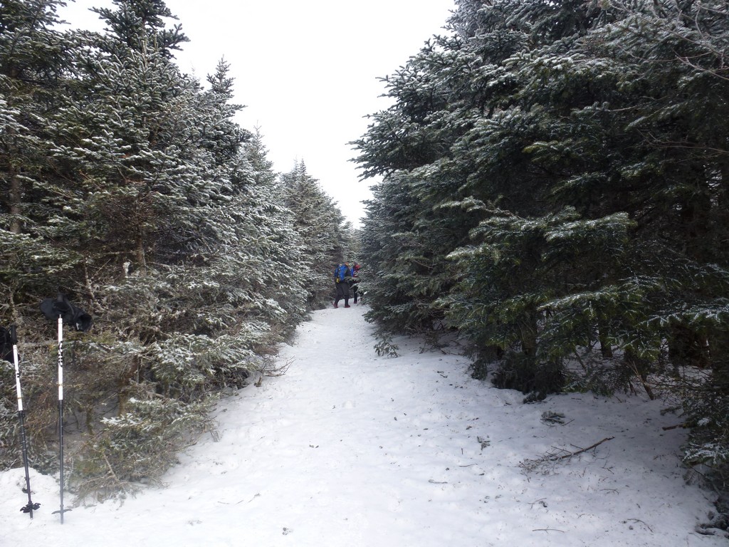
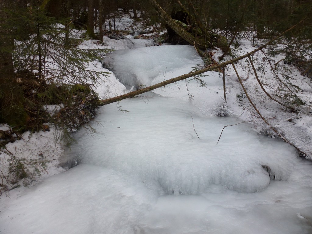
The first leg of the hike, up Appalachian Trail to the Glencliff Trail was relatively easy. There was hardly any snow around, except for some well packed and mostly frozen stuff on the trail itself. I noticed a couple of guys leaving the parking area ahead of me were just in microspikes and did not even appear to be carrying snowshoes so I did the same. There was not much snow on the trail at all and many spots were bare.
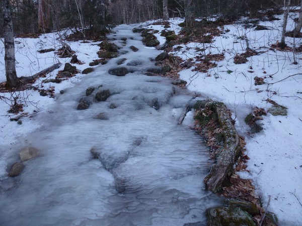
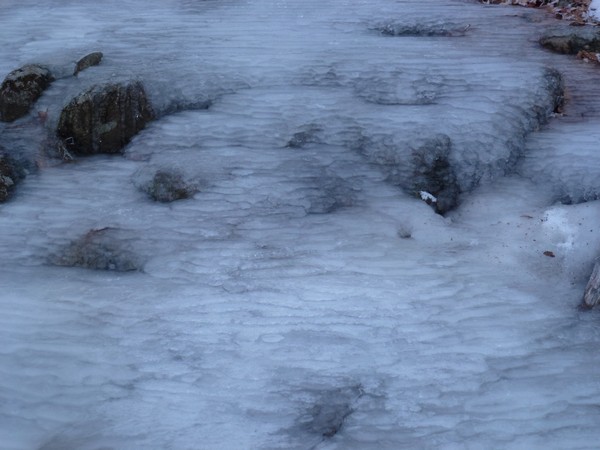
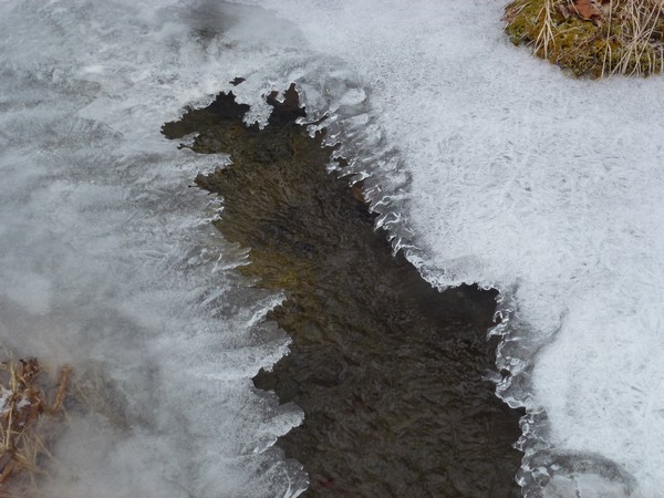
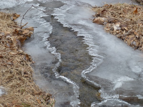
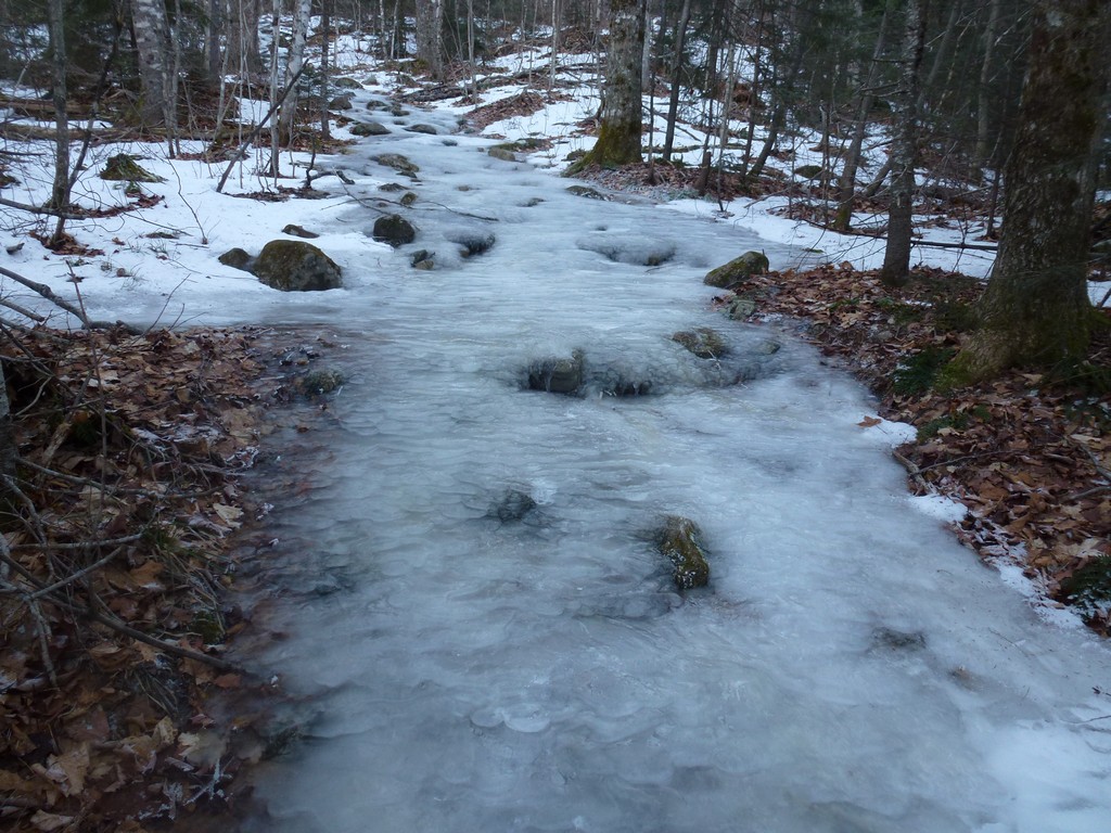
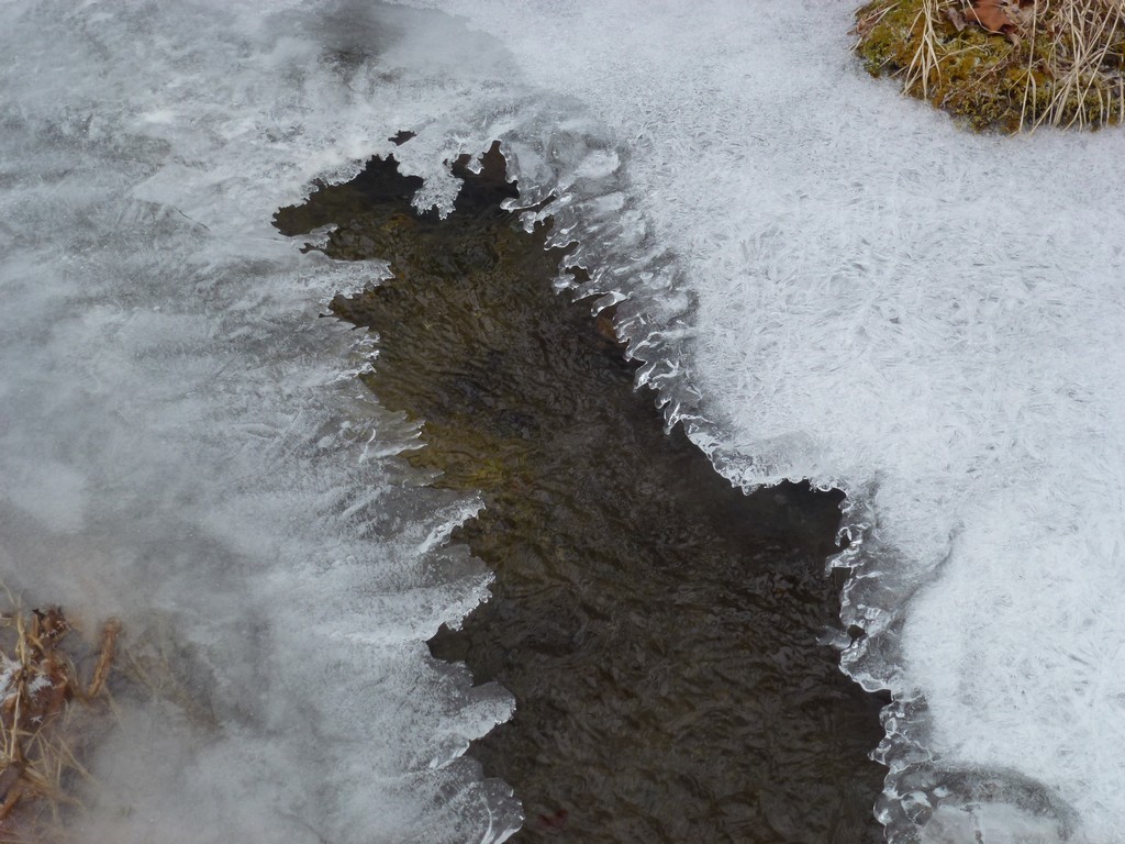
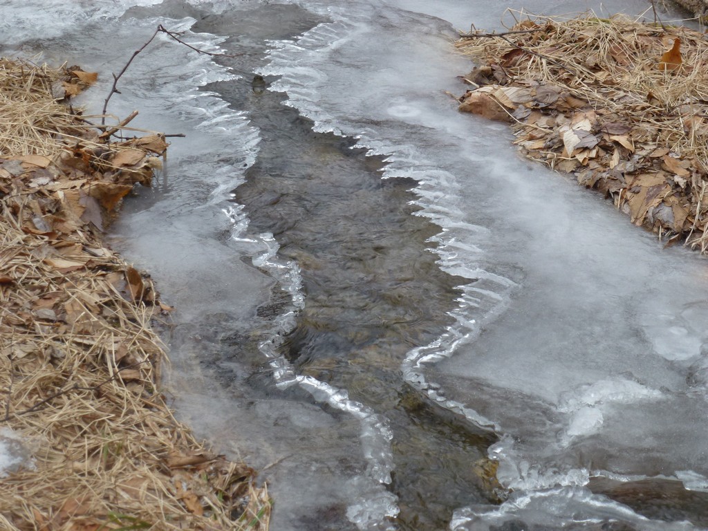
The conditions on the lower portion of the Glencliff Trail itself were about the same. Higher up I encountered some very icy sections where water from springs and melting snow had covered the trail and frozen into large patches of ice. The microspikes handled these sections fine on the way up but on the way back down they did not want to grip so well and I ended up leaving the trail and bushwhacking through the forest to get around some of the steeper ones.
|
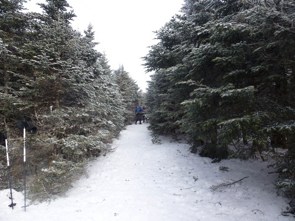
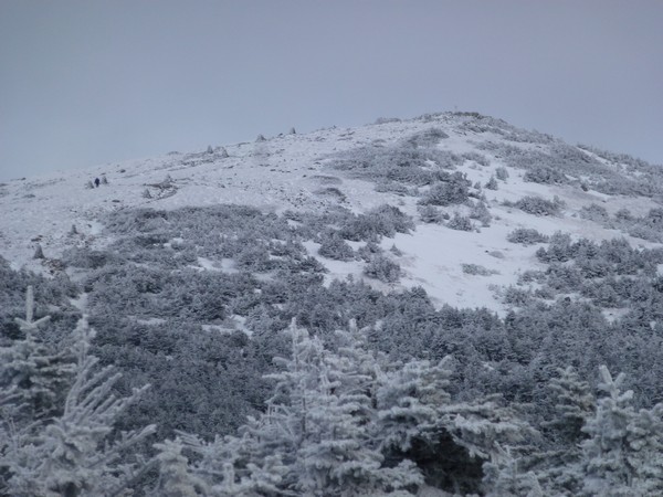
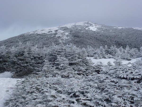
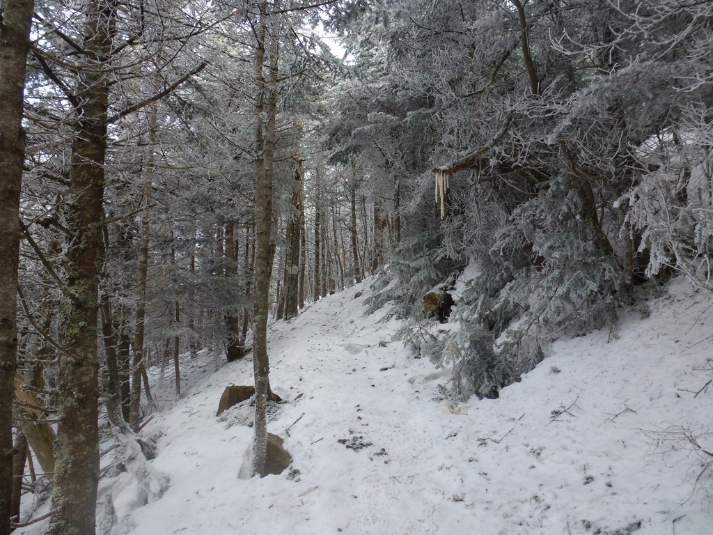
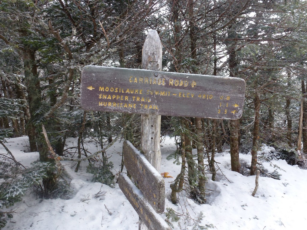
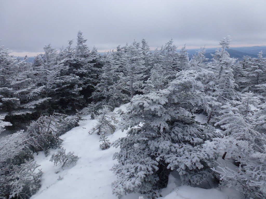
I made pretty good time going up and was on the ridge in only 2½ hours from the parking area. I started to encounter more snow once I got above 3,000' or so but this was still well packed and the microspikes alone were fine. It was a little colder up on the ridge, where the Glencliff Trail and the Carriage Road meet, and I stopped briefly to take off my fleece and put on a light down jacket. There was still no wind, it just felt colder, and I knew I would not be generating as much heat myself with much less climbing over the next hour or so.
|
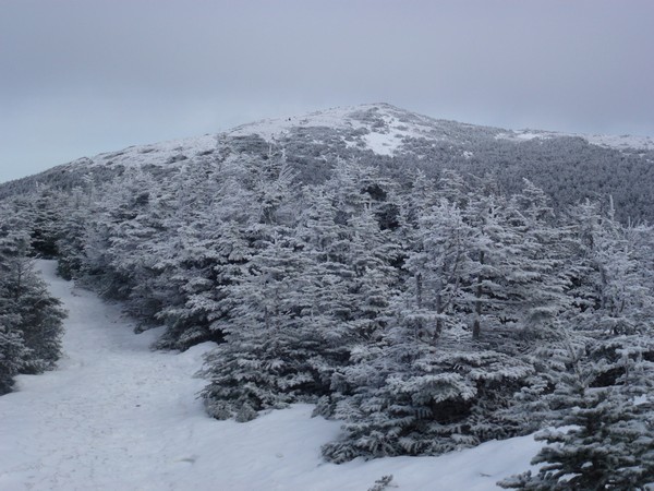
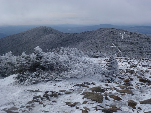
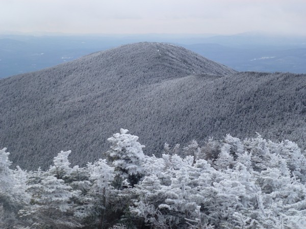
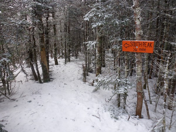
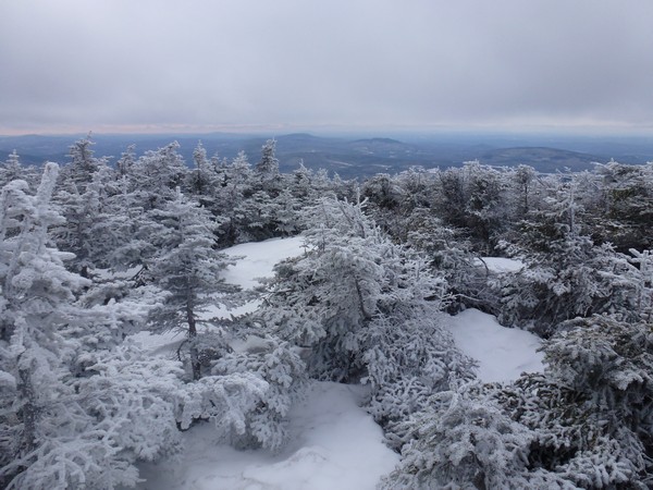
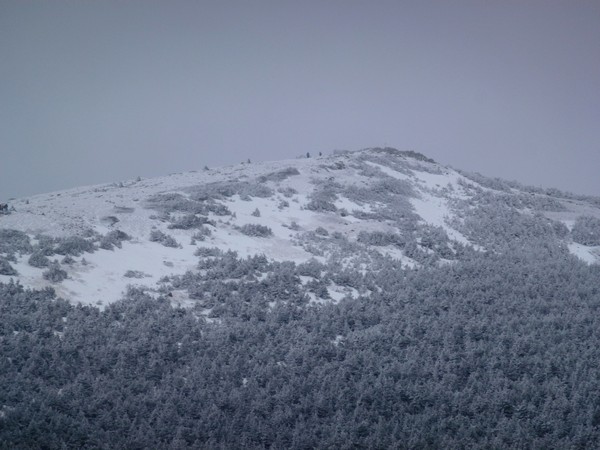
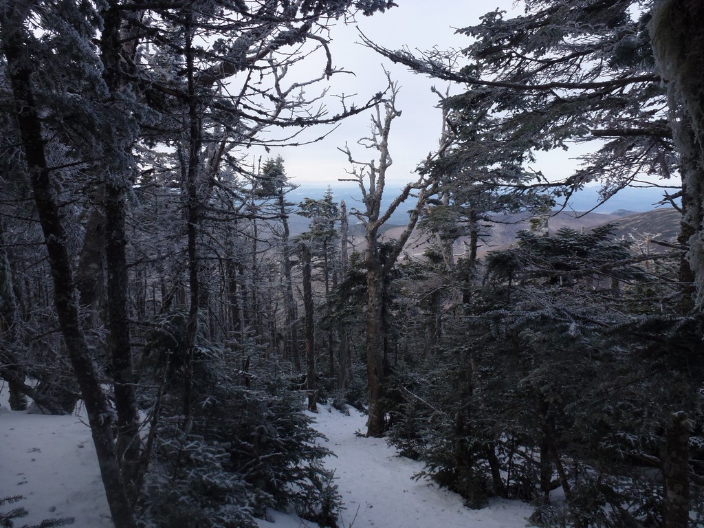
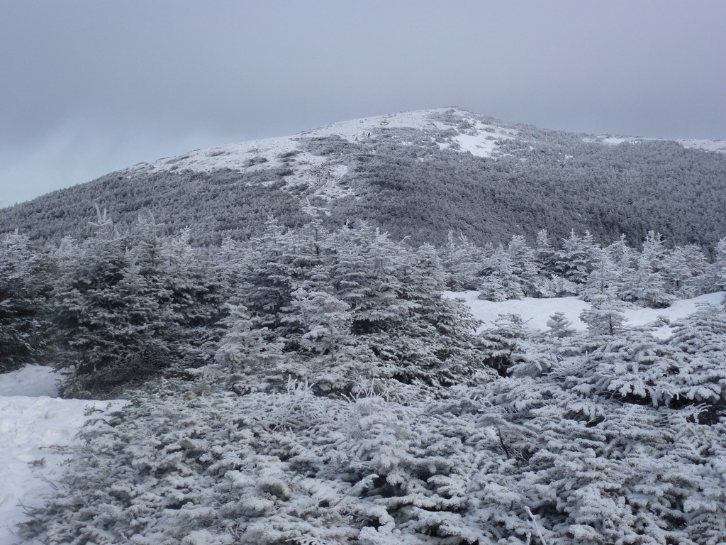
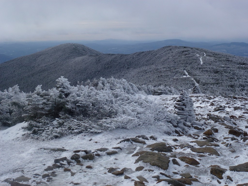
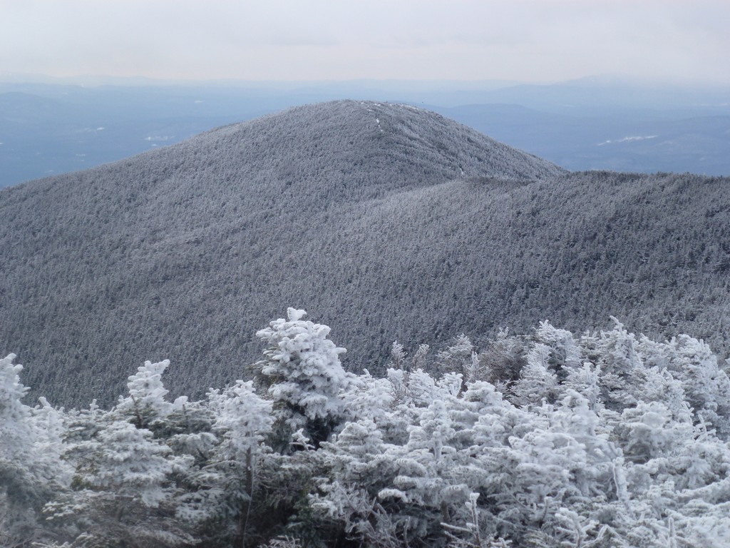
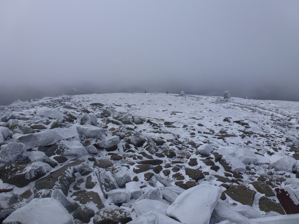
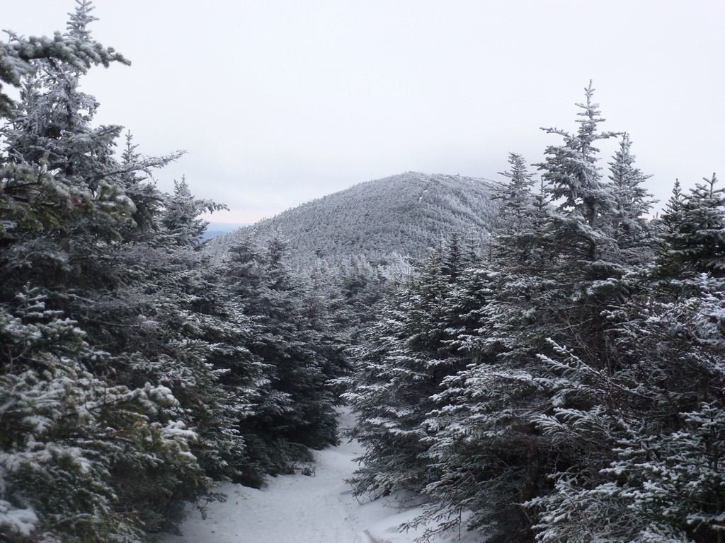
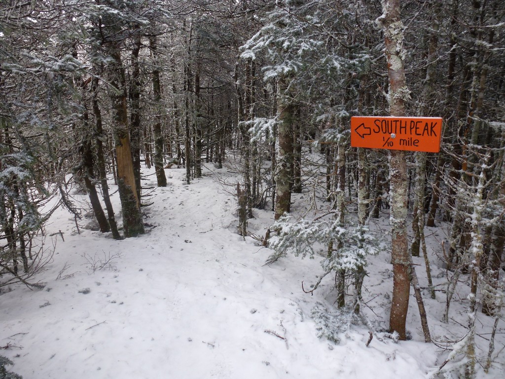
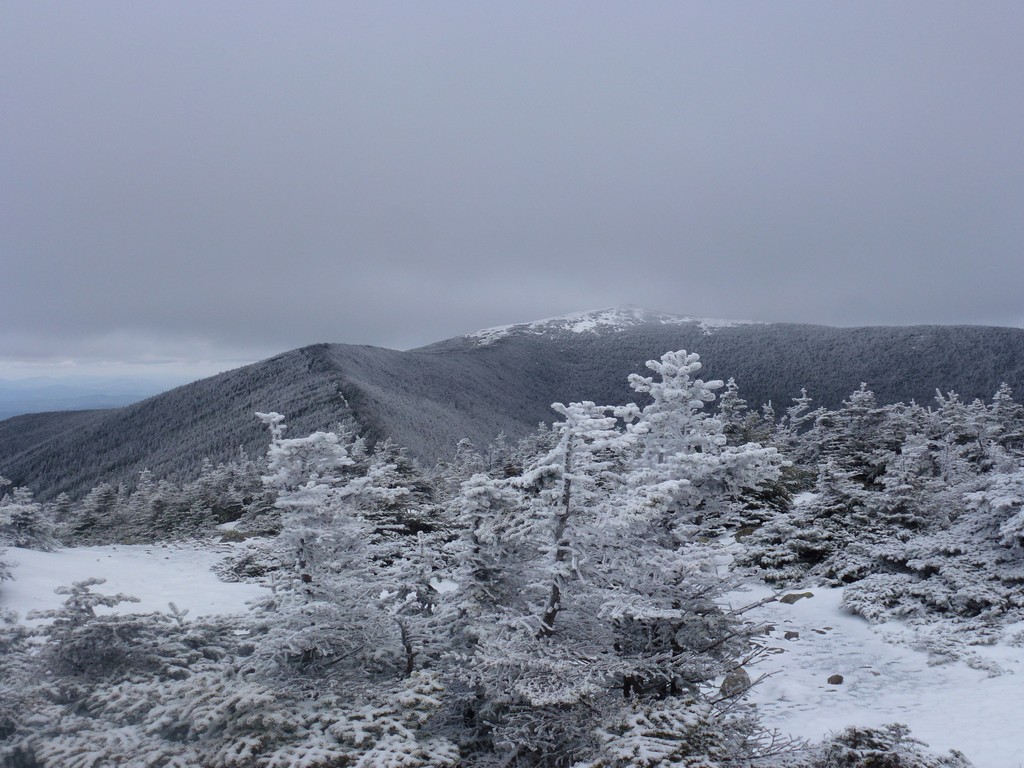
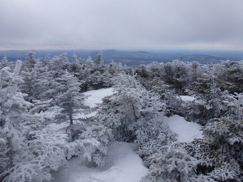
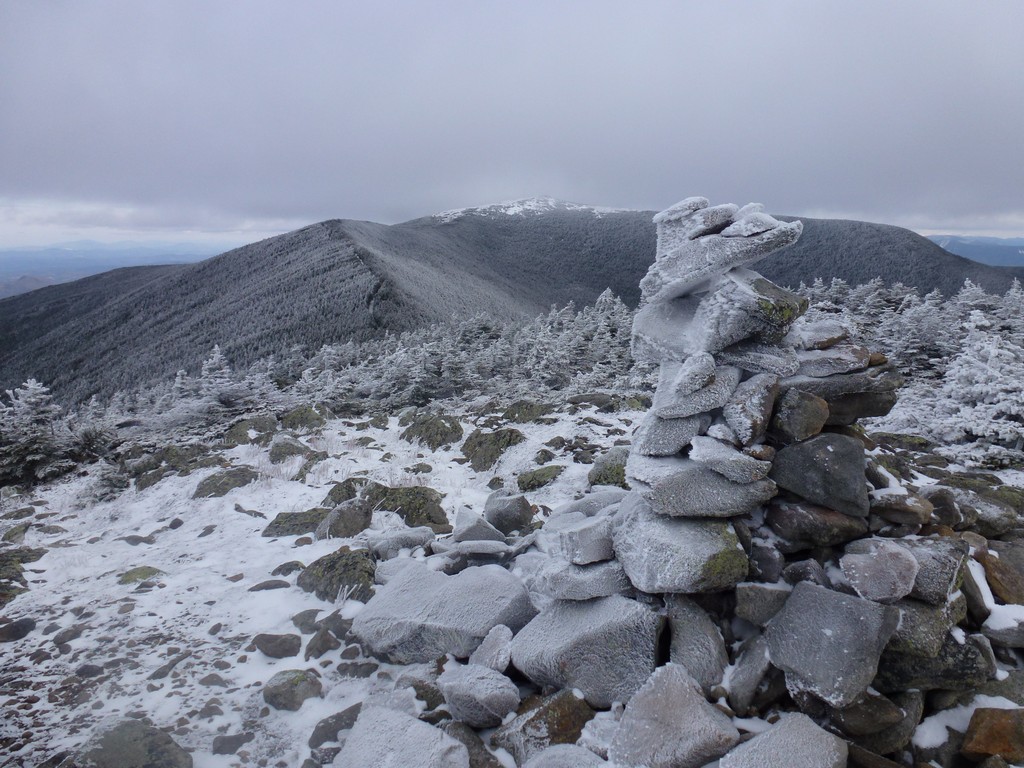
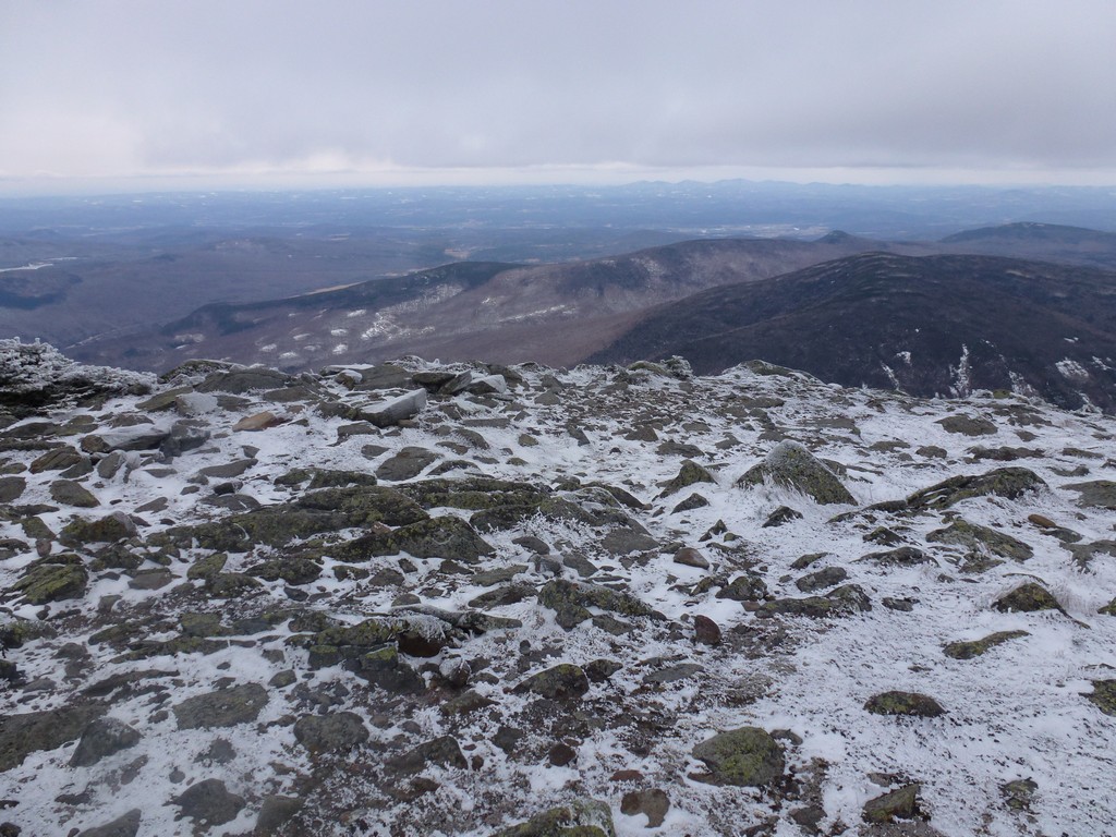
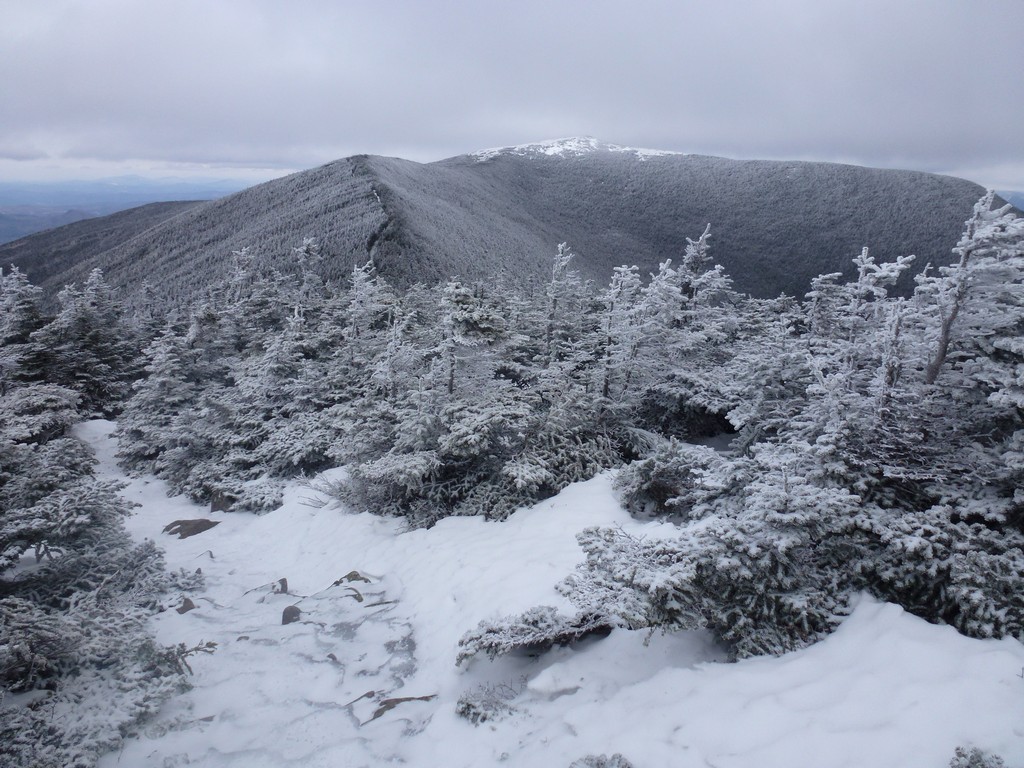
There was some sunshine at the trailhead when I started the hike but by the time I got to the ridge it was cloudy. The clouds were pretty high so I still had some nice views of Mount Moosilauke and the surrounding area. As I started to close in on the top of Moosilauke I noticed some lower clouds drifting in from the south and covering the South Peak so I picked up the speed a bit wanting to get to the top of the main peak before that too was shrouded in clouds.
|
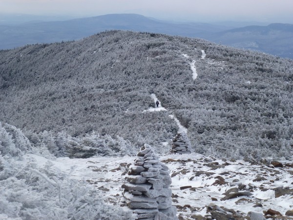
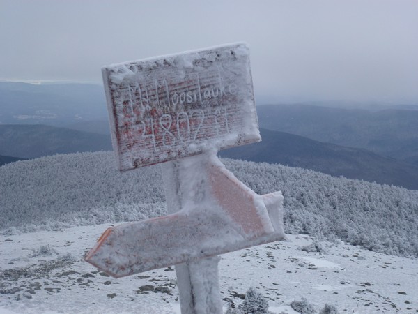
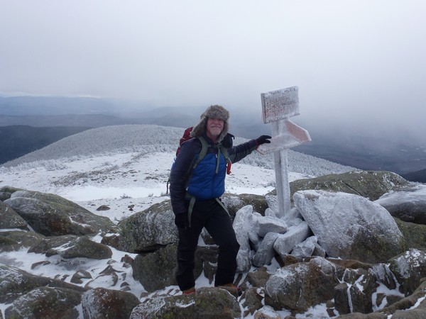
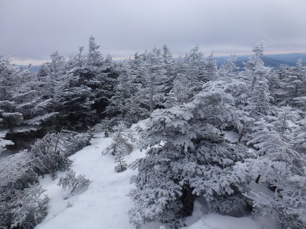
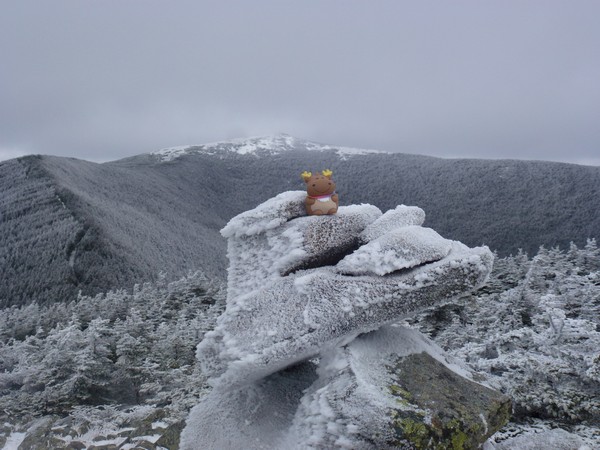
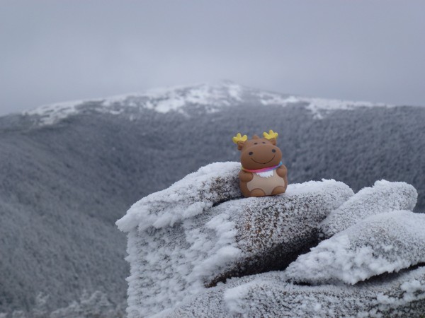
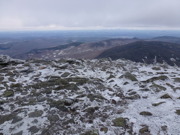
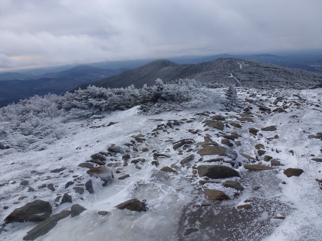
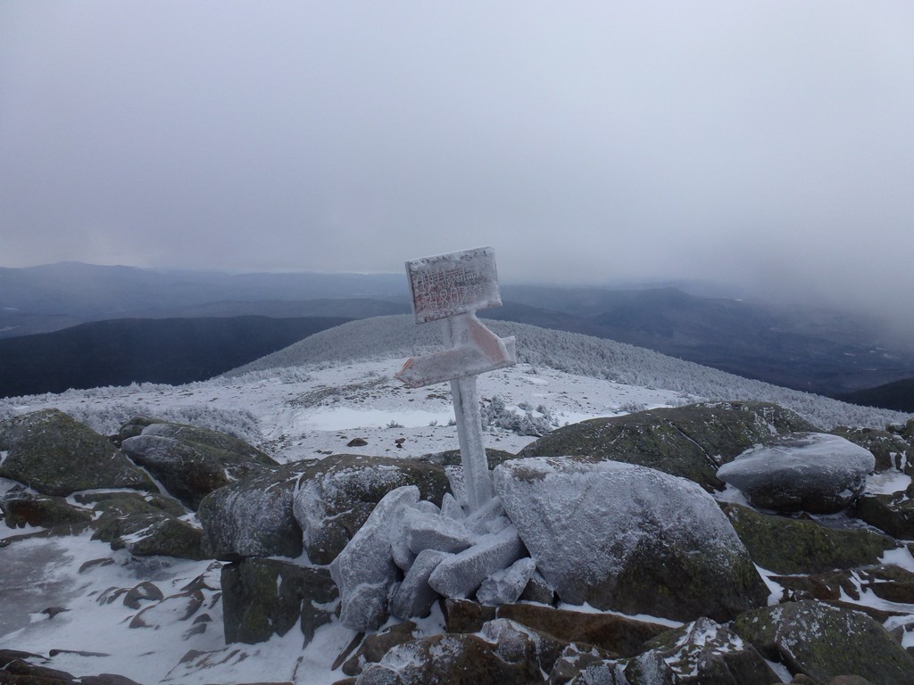
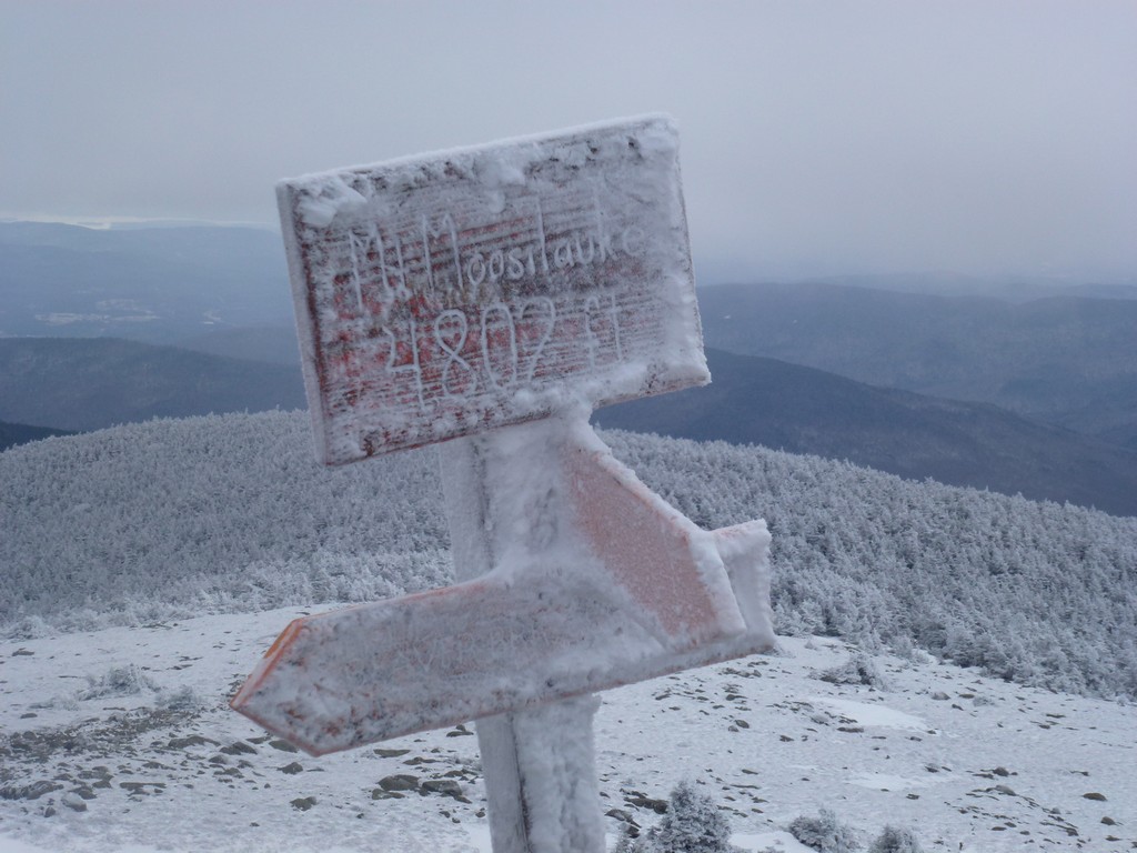
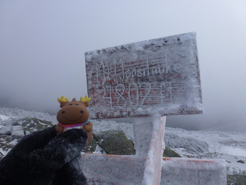
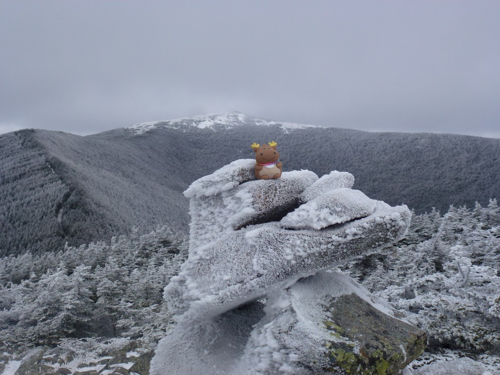
By the time I arrived at the summit the clouds that had engulfed South Peak had already moved on and it was clear again. There was some wind on the very top of Moosilauke and it felt a lot colder up there. I didn't stay long and just took a few photos and started back down.
|
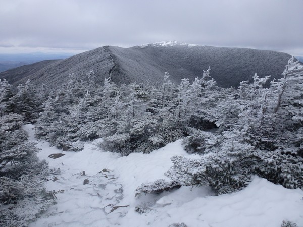
The wind on the summit went away once I was 100' or so below it and it was much more comfortable on the ridge heading back towards South Peak.
|
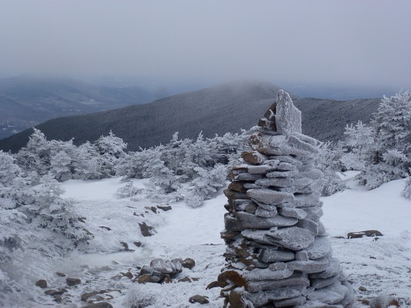
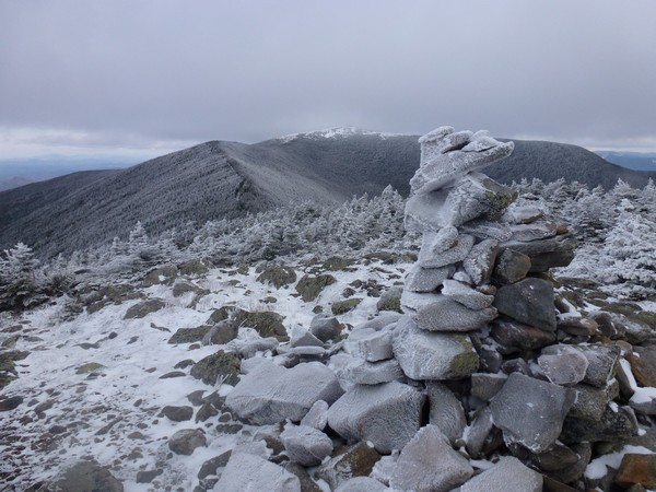
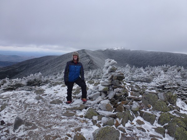
Since South Peak was clear I decided to make the little side trip to the top of that as well. It only took a few minutes to cover the tenth of a mile to the top and the views were worth it. There was a light breeze on top of South Peak but it didn't feel bad and wasn't chasing me away like it was on top of Moosilauke itself.
|
I made a brief stop for some food on the way down once I got below the steeper section that leads up to the ride. I had to make some detours around some of the larger and steeper icy patches as the microspikes were slipping a little on them and it just felt safer to be in the snow in the forest. The snow had been soaked with rain a few days prior and was now frozen so I was not sinking down into it at all.
|
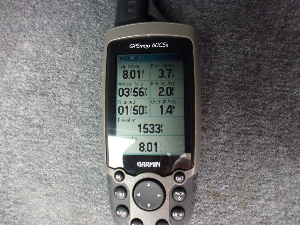
I really had not been paying much attention to the time and was surprised when I got back to the car and it was not even 2pm yet. It felt nice to finish a hike before dark and to know that I would probably even be home before it got dark.
|
|
|
|---|
|
|---|


