|
Mount Hale and Zealand Mountain day hike |
|---|
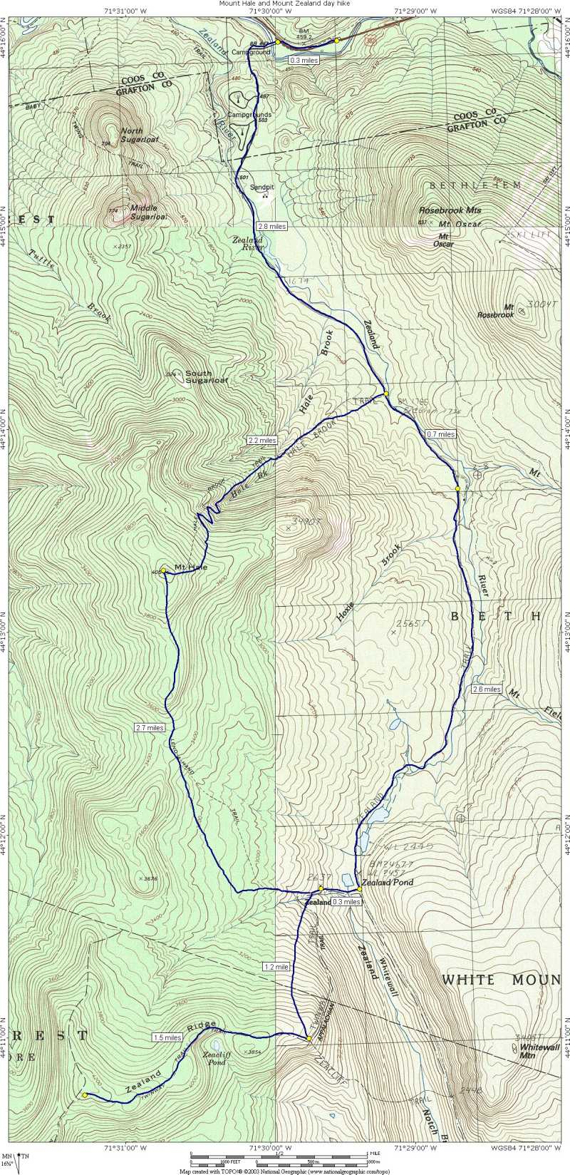
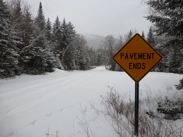
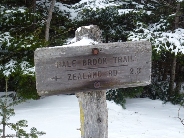
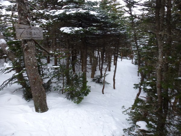
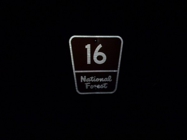
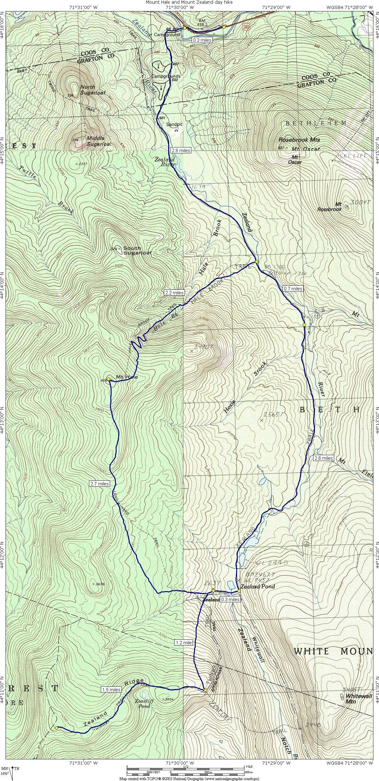
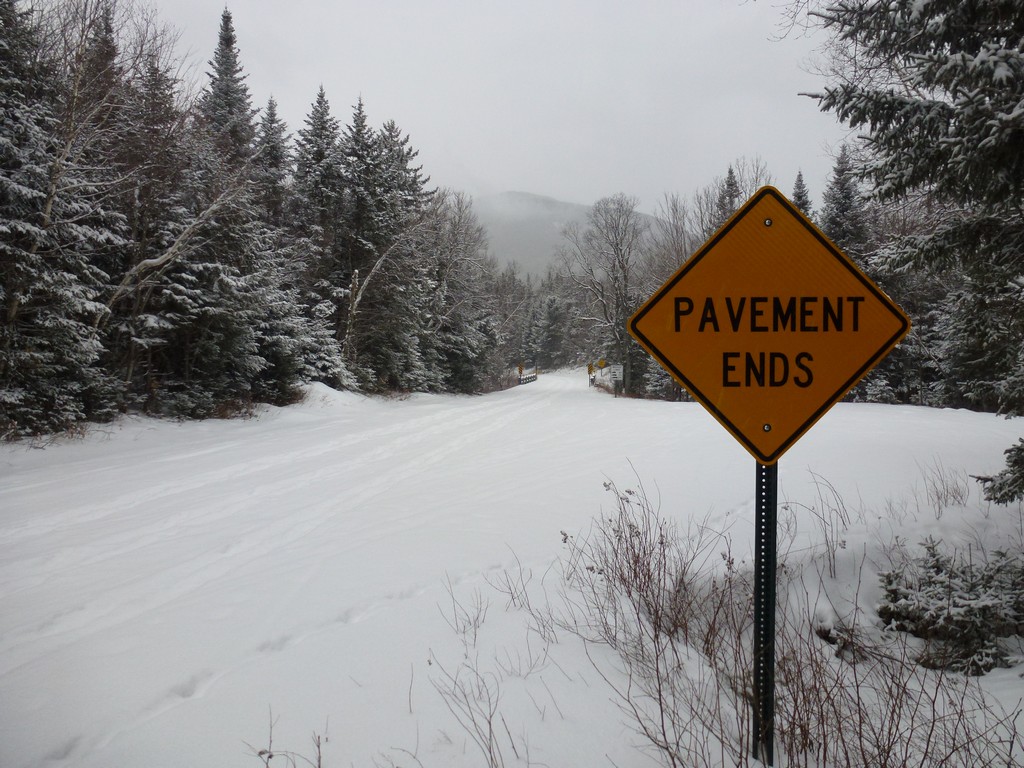
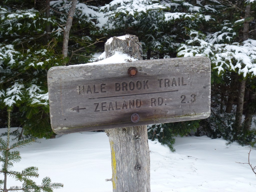
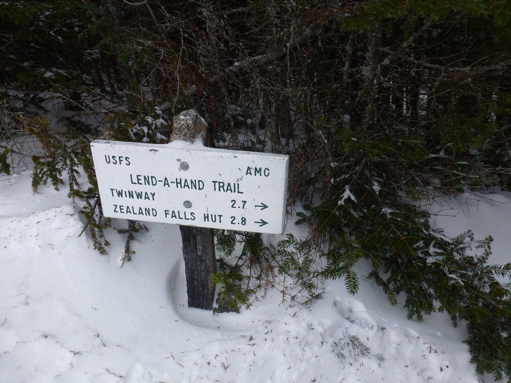
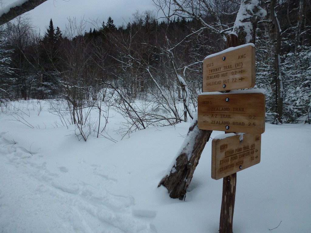
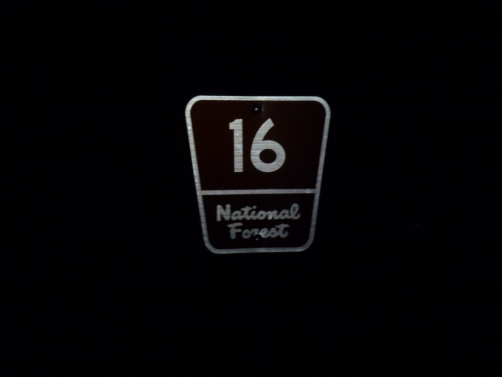
This day hike started at the winter parking lot for Zealand Road off of US Route 302 between Twin Mountain and Crawford Notch, New Hampshire. From the parking lot I followed Zealand Road to the Hale Brook Trail to the summit of Mount Hale. From there I took the Lend-A-Hand Trail down to its junction with the Twinway Trail and followed that to Zealand Mountain. The return trip was back along the Twinway Trail to the Zealand Trail to Zealand Road.
|
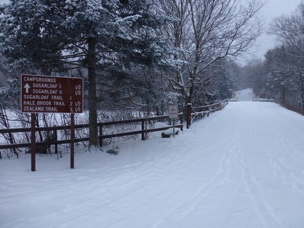
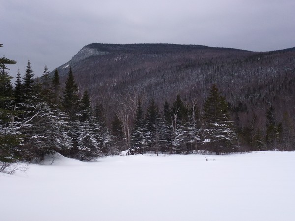
This day hike started at the winter parking lot for Zealand Road off of US Route 302 between Twin Mountain and Crawford Notch. Mounts Hale and Zealand would numbers 27 and 28 on my New Hampshire winter 4000-footer list. I arrived at the parking right at 7:15 and we started hiking just a few minutes later. When I checked the weather for Twin Mountain before leavong home (around 3am) it was only 5°F with a "feels like" temperature of around -5. It was not supposed to be that cold based on the forecast I saw the night before and the current forecast still showed 18°F for 7am, around the time I was supposed to get to the trailhead, so I had my fingers crossed. The temperature held at around 27°F until I got to Concord, New Hampshire but then started to drop like a rock the further north I went from there. By the time I got to Lincoln, at the southern end of Franconia Notch, it was down to 12°F, snowing like crazy and gusty winds were blowing the snow all over the place. I was tempted to cancel right then and there but I knew the weather can often be completely different on the other side of the notch. Luckily for me this was again the case and after I got through the notch the temperature started to rise and the snow slowed to just light flurries. By the time I got to the parking area the temperature was in fact 18°F, the snow had stopped and there was virtually no wind.
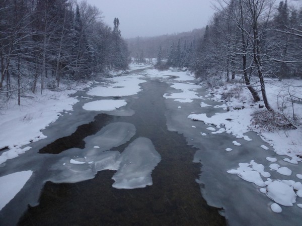
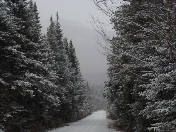
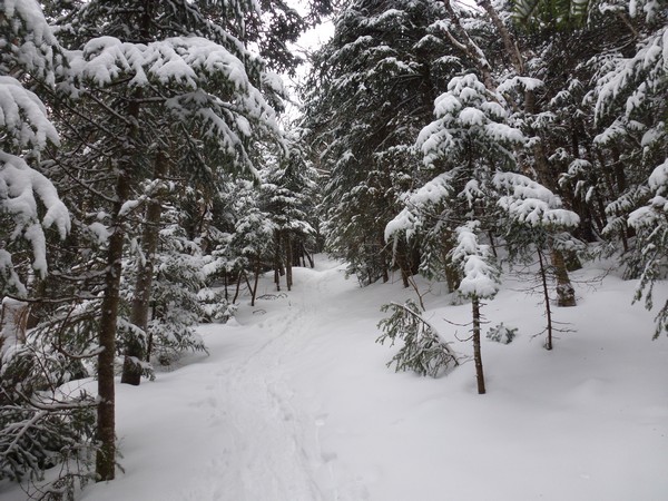
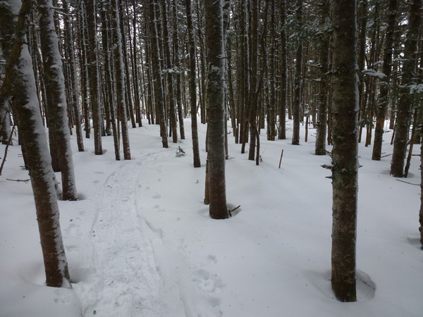
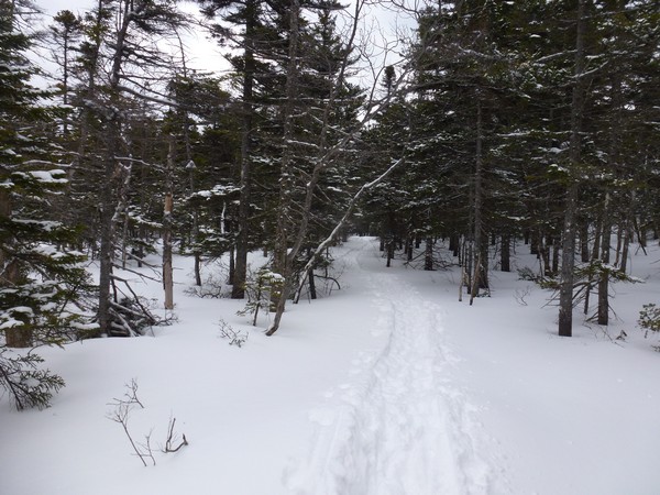
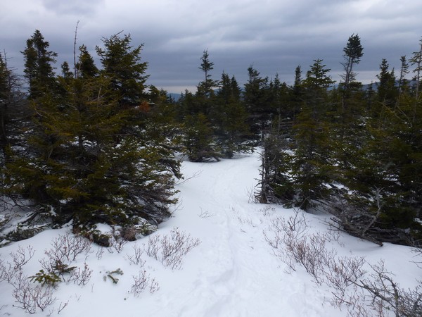
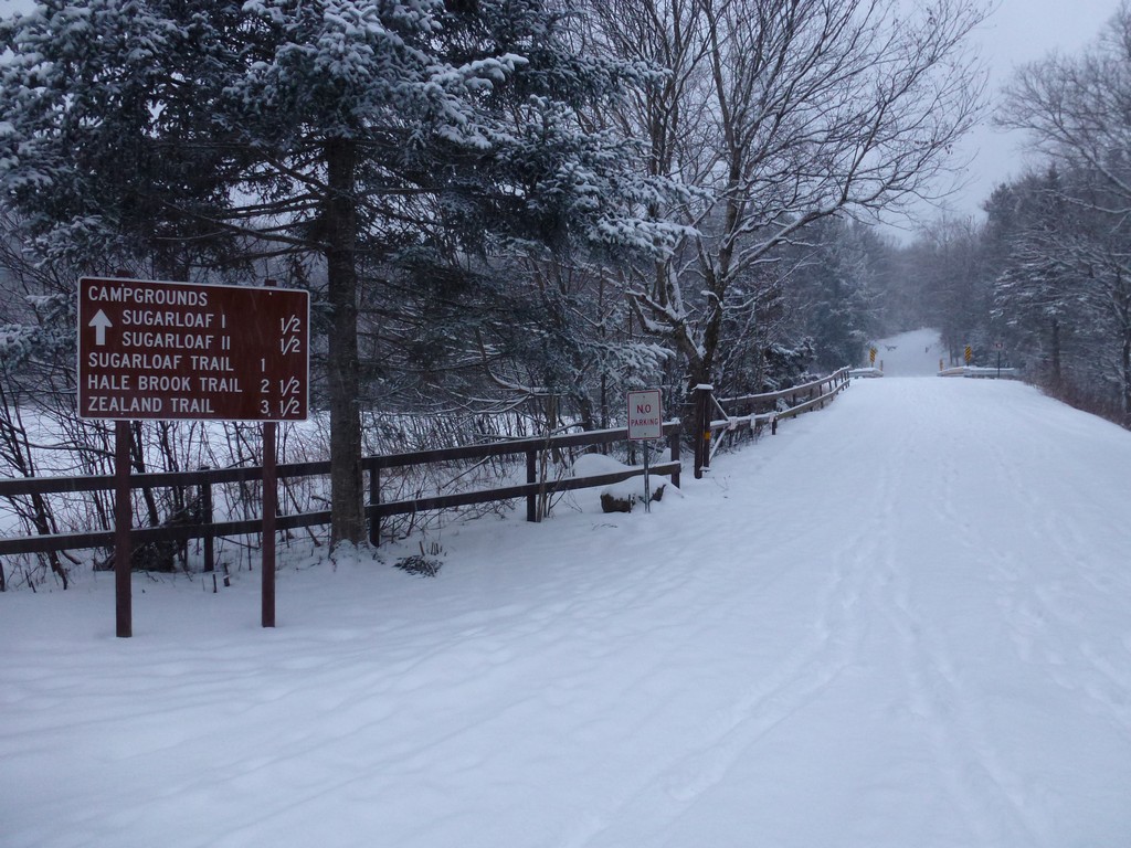
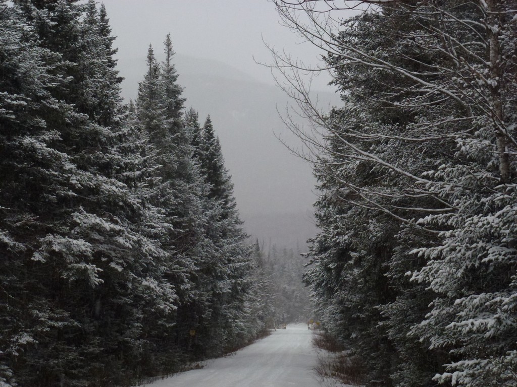
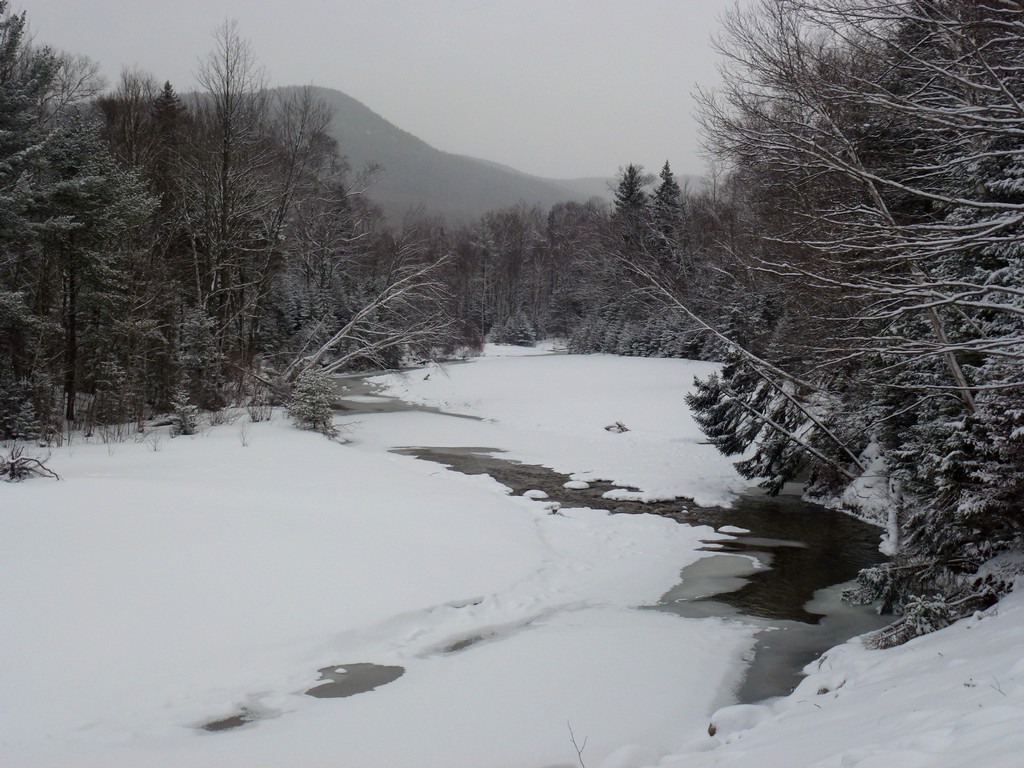
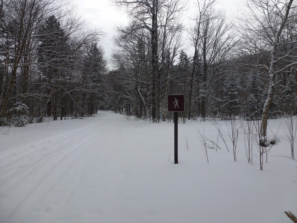
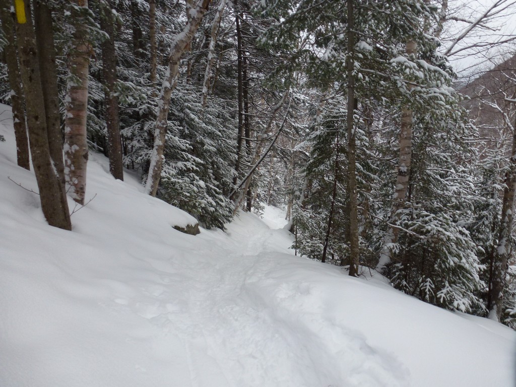
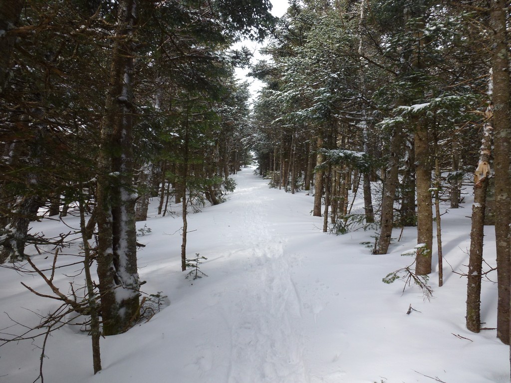
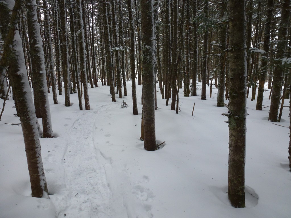
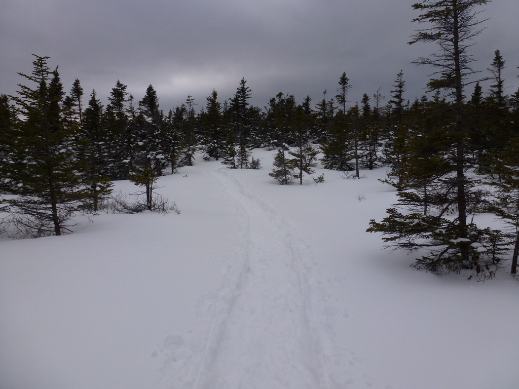
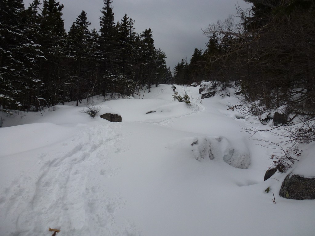
The first leg of the hike, up Zealand Road to the Hale Brook Trail was relatively easy. I started off in bare boots because I did not wnat to wear my snowshoes crossing the road and actually walking the highway to the start of Zealand Road but then decided to just keep going in them. After 10 or 15 minutes though I decided I would make better time with the snowshoes on and would definitely need them eventually anyway so I stopped to put them on. I was also starting to get a little warm already at that point so I stripped off my fleece and put that in the backpack.
|
It took about an hour and a half to go the 3 or so miles from the parking area to the start of the Hale Brook Trail. I didn't stop much along the way, just the once to put on the snowshoes and get rid of the fleece and a couple of other short stops for photos.
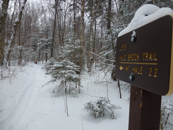
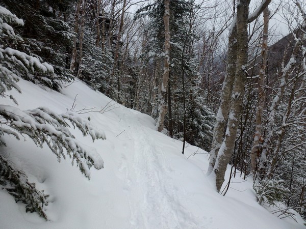
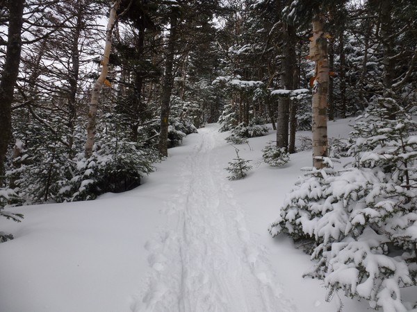
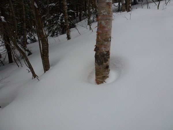
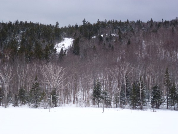
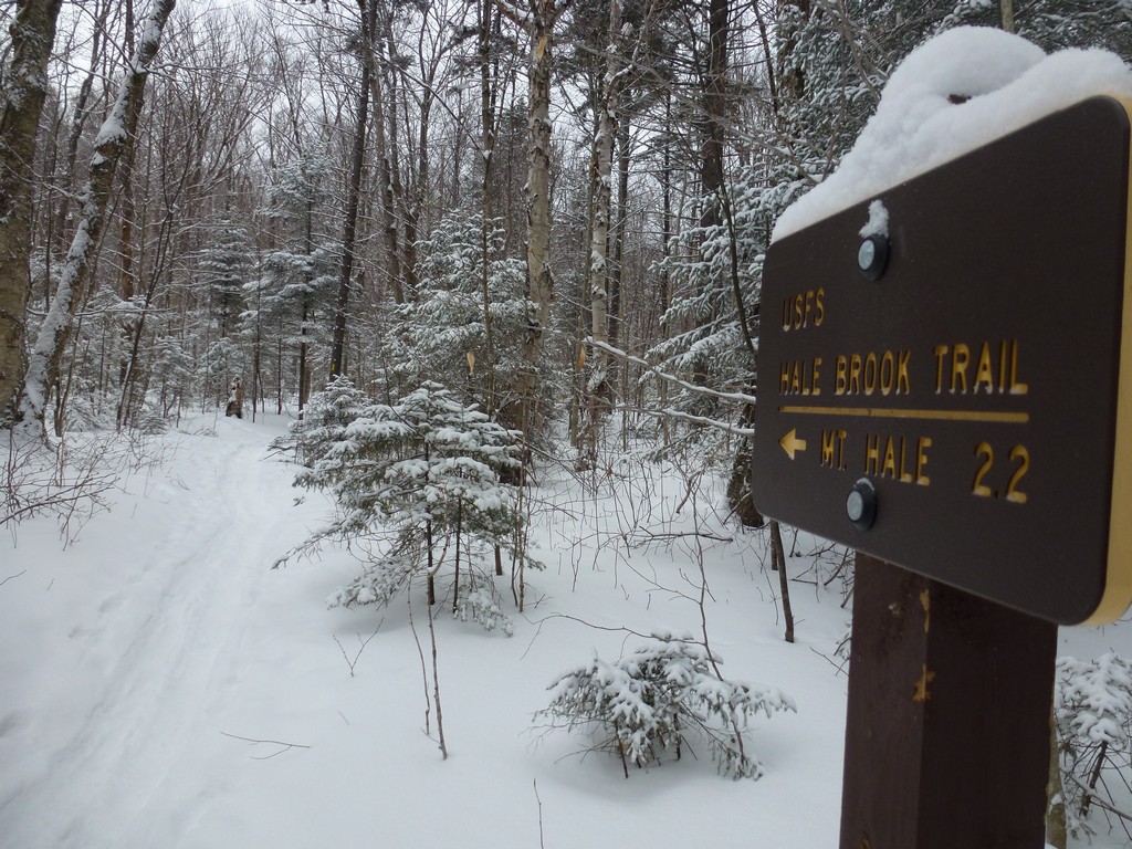
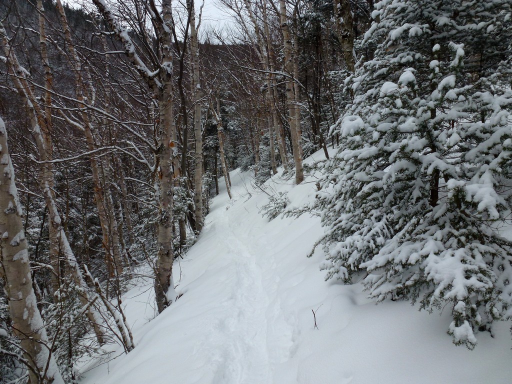
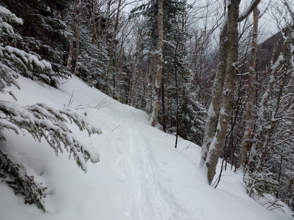
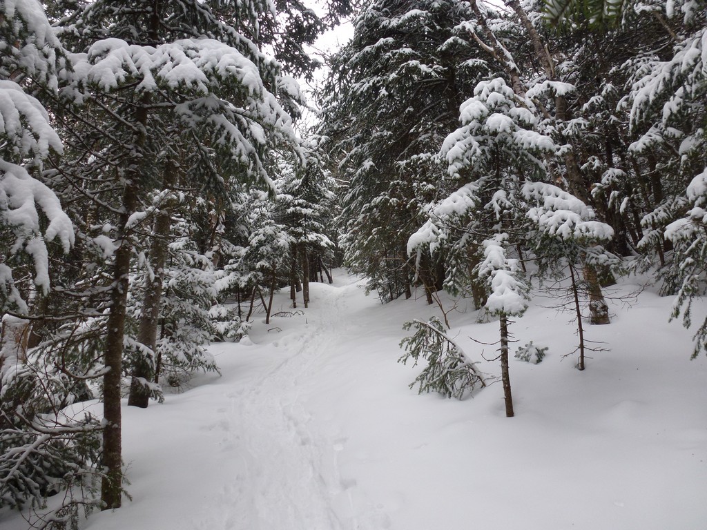
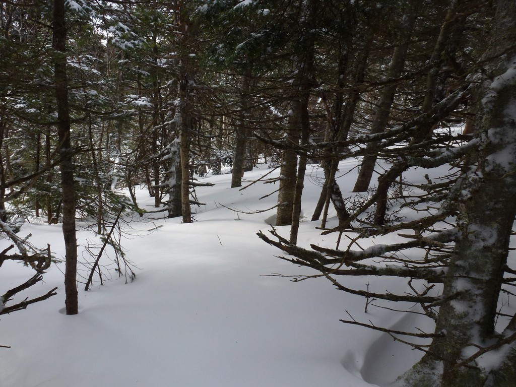
Going up the Hale Brook Trail was fairly easy at the lower portion. There was lots of fresh powder on tiop of the older snow but the trail was broken and it seemed there was at least one person with a dog ahead of me.
|
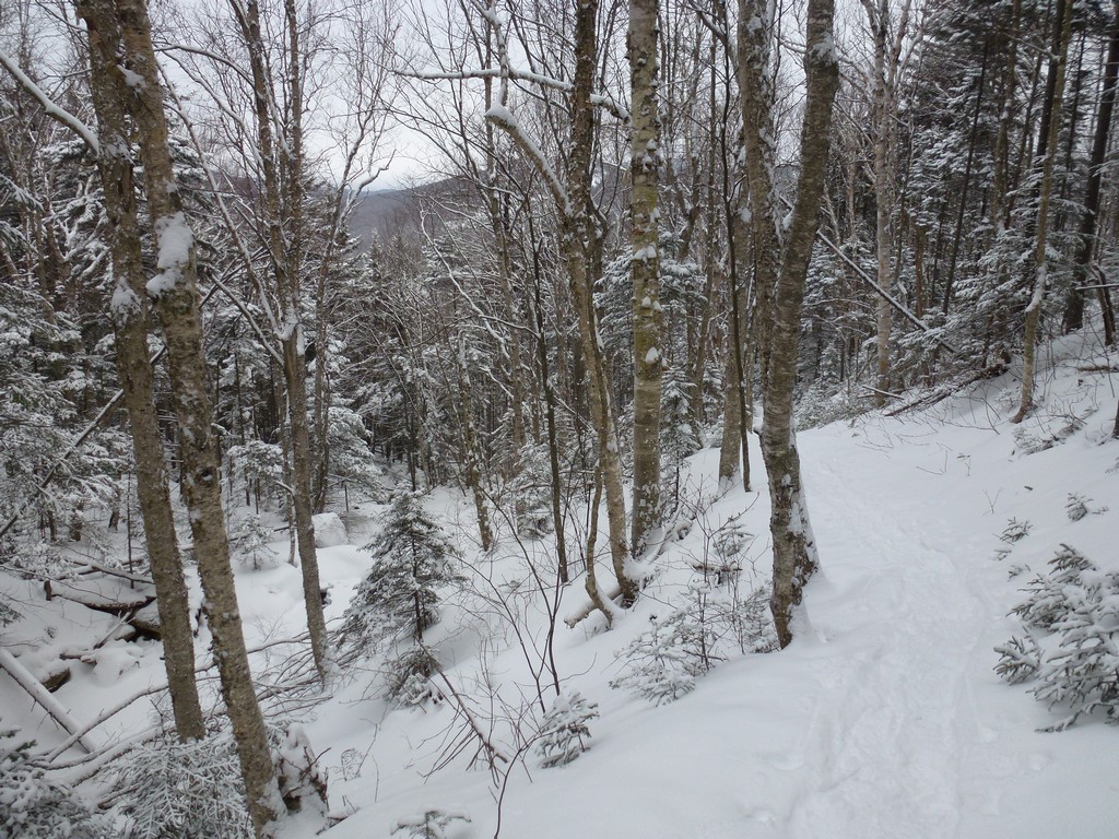
I started having a little trouble when the trail started getting steeper as it got closer to the top and found myself stopped quite often just to catch my breath. I was surprised by a series of switchback in the upper section too that did not show at all on my topo map. I am sure they made the ascent easier even if they did add a little distance to the hike.
I could hear some people below and behind me as I was coming up the switchbacks and they reached me just after reaching the top of the last one. There were three guys and two small (and very cute) dogs in this group. One of the guys claimed that he recognized me, or my backpack at least, from an encounter someplace ele but he could not remember where. His German/Austrian accent sounded familiar to be but I was drawing a blank as well. After they passed I continued to think on it for a long while though.
|
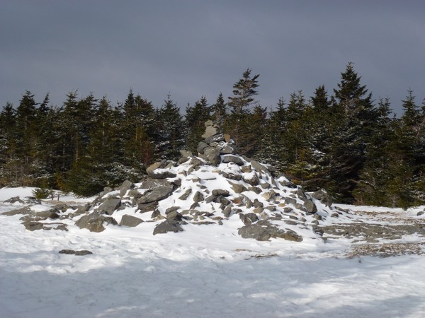
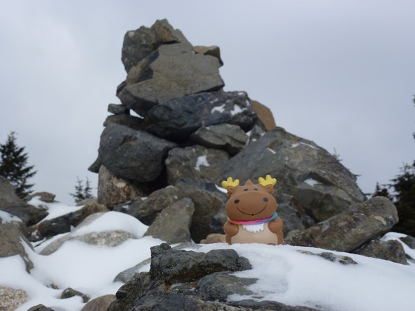
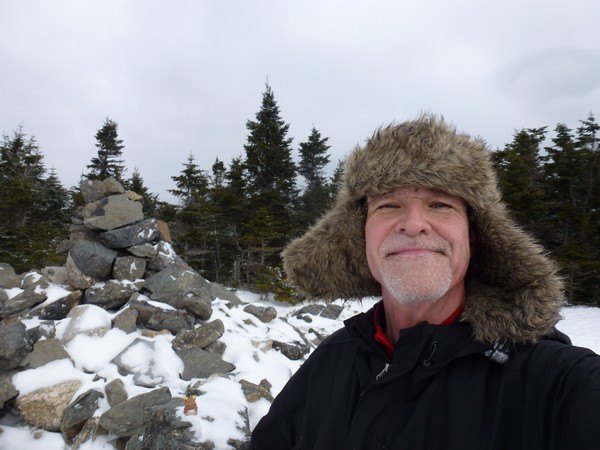
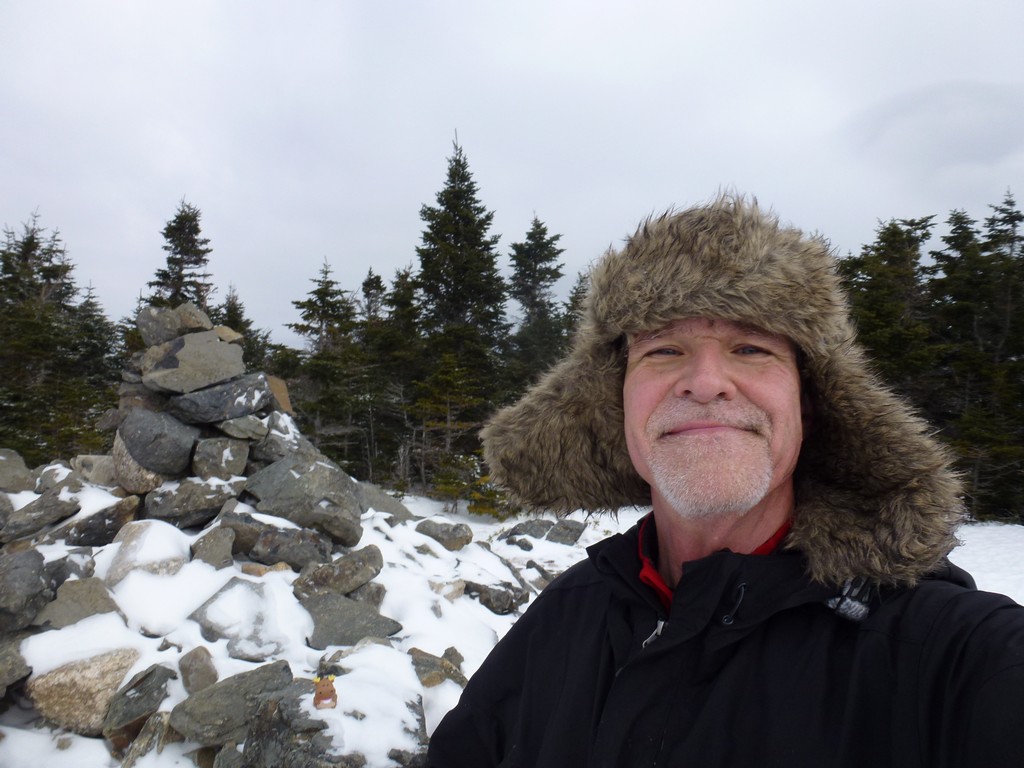
I reached the summit of Mount Hale just a little after 10:30am and was a little worried because I new this was going to be a long day and I was already falling behind. I started about 15 minutes late because of the weather coming through Franconia Notch and now I had lost almost another half hour on the climb up Mount Hale. Hopefully I would be able to make up some of this time on the descents and the flatter portions of the trail.
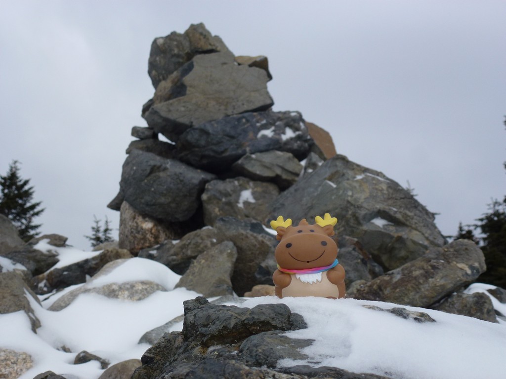
I did not stay on the summit long as it was very windy up there and felt very cold. I did not to have to add my fleece back on only to have to stop and take it off on the way down again. I took some photos of the summit but passed on the idea of having anything to eat up there and just wanted to get moving again.
|
I actually got to see a little bit of sunshine during the final climb to Mount Hale's summit, while on top and even going down the other side. Once I got out of the wind and a lttle lower down I decided to take a short break and have something to eat and drink. I really had not had anything since breakfast at 6am at the McDonalds in Lincoln and it was now already past 11am. I hate stopping when I know I am running behind schedule but I was feeling a little hungry and hoped that adding some fuel to the fire might be more benefiial than trying to make time without it. And there is no point in carrying food and water if you don't use it.
|
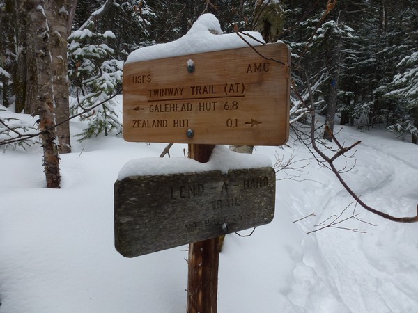
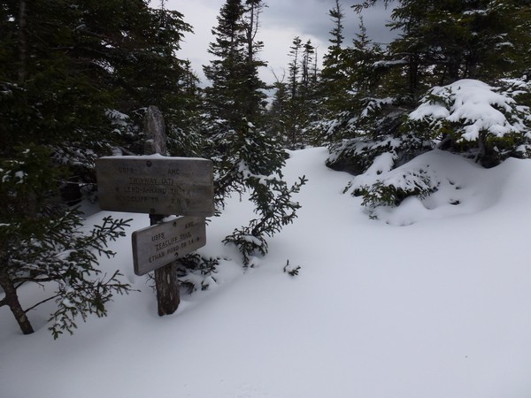
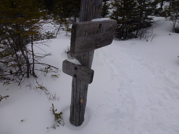
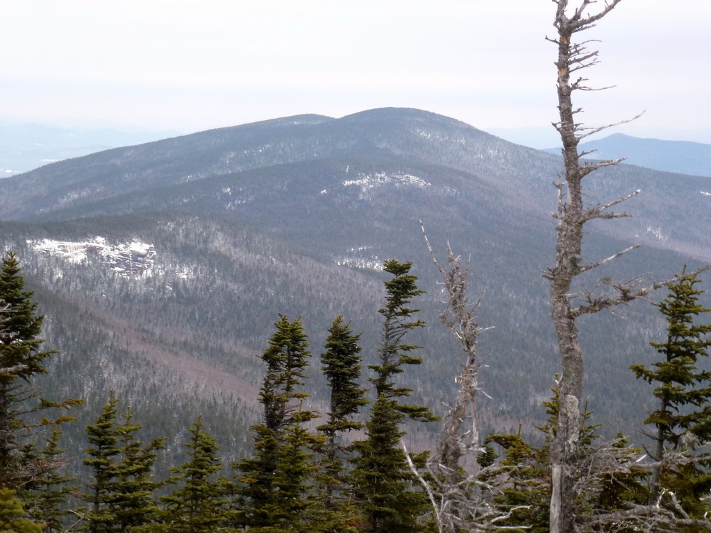
I arrived at the junction with the Twinway Trail just a little after noon and had planned to be there about 11:30. Considering I started 15 minutes late I had made up a little time coming down but I was still about 20 minutes behind what I had been hoping for. The climb up to Zeacliff would be the last of the long, steep climbing and I hoped I would not lose too much more time doing that. After that I was hoping I would be able to start making up time.
|
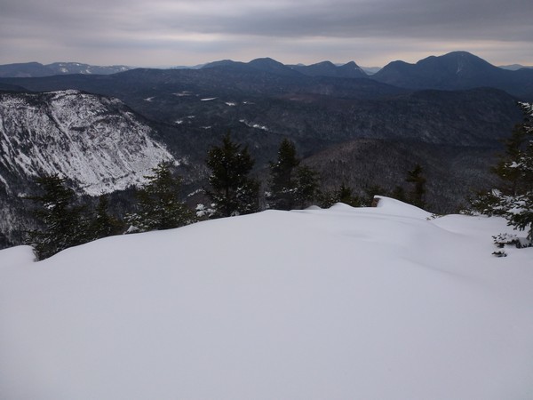
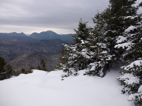
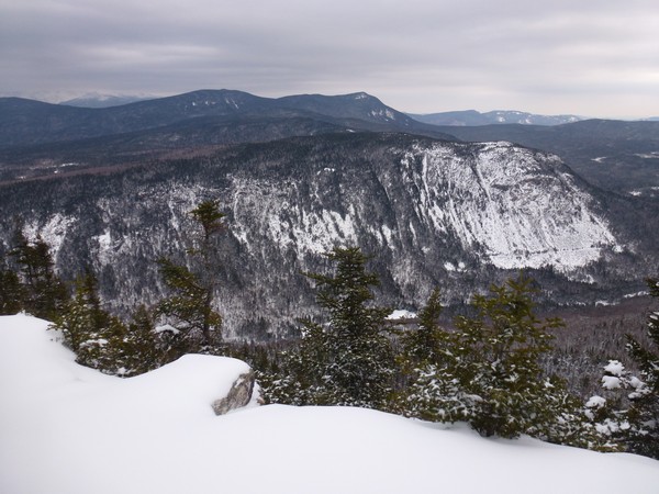
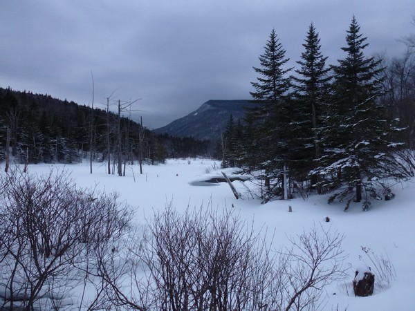
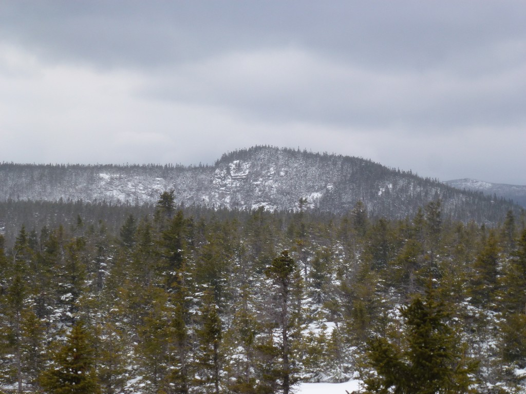
I arrived at Zeacliff just a little before 1:10pm and was supposed to be there 12:16 (12:30 with the delayed start) so I had lost a little more time. Sunset was at 4:49pm so I still had aabout 4 hours to get to Zealand Mountain and then back down to the Zealand Trail before it would start to get dark. The hardest part of the hike was over at this point and hopefully I would be able to make up some time on the rest of it.
I really lucked out in that the weather had been relatively nice for this hike and the trails were all in fine shape. The temperature had to be above freezing and there was hardly any wind except on top of Mount Hale. There was a little wind on top of Zeacliff but I was pretty sure that would go away as well when I descending back into the trees. There had not been a lot of sunshine except on Mount Hale but the cloud cover was probably responsible for the warmer temperatures.
I had spent some time think on the guy I had met going up Mount Hale and thought I had finally placed him, and one of the other guys that was with him. I was pretty sure I had run into both of them on Columbus Day last year when I had done The Horn and The Bulge. I am pretty sure I was on top of The Bulge when they passed it coming down from Mount Cabot and they stopped to talk for a while.
As luck would have it I ran into this group again as they were coming back from Zealand Mountain and I was heading to it. I asked if they had been on The Bulge on Columbus Day and sure enough they had. We talked a while and I discovered that the other guy with them and his dog was "Pepper and me". I had had trip reports online logged by "Pepper and me" and I thought that was pretty cool to meet them bother in person. This little group was now attempted to bag all 48 of the New Hampshire 4000-footers in one winter season.
|
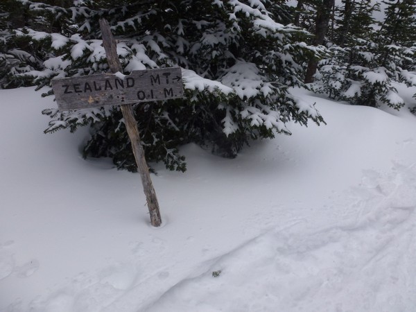
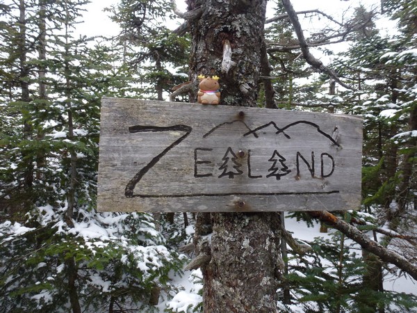
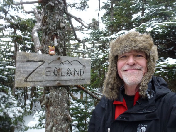
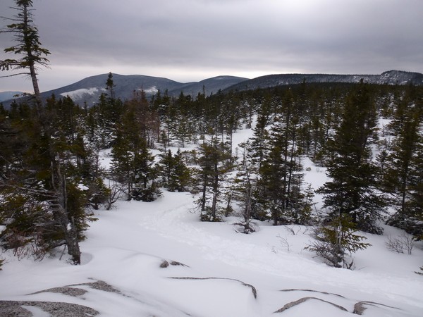
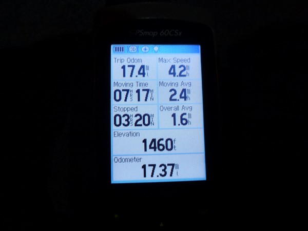
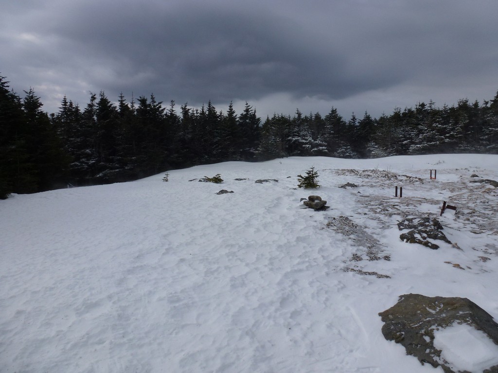
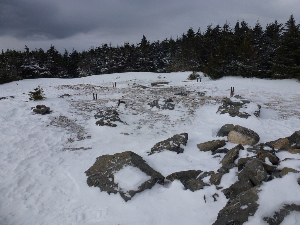
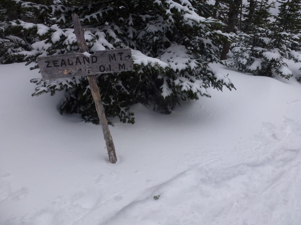
I arrived at the spur trail to Mount Zealand a little before 2:15pm and was on top of Mount Zealand a few minutes after. I should have been there closer to 1:30 even after adjusting for the delayed start so now I was about 45 minutes behind. I figured I still had plenty of time to get back to the Zealand Trail and hopefully at least close to Zealand Road before darkness would fall. I took a short break and ate some more food and sucked down some more water hoping this would help to speed me up a little on the way down. I was just a little more than halfway through the hike at this point with about 10.7 miles behind me and still 9.5 miles to go.
|
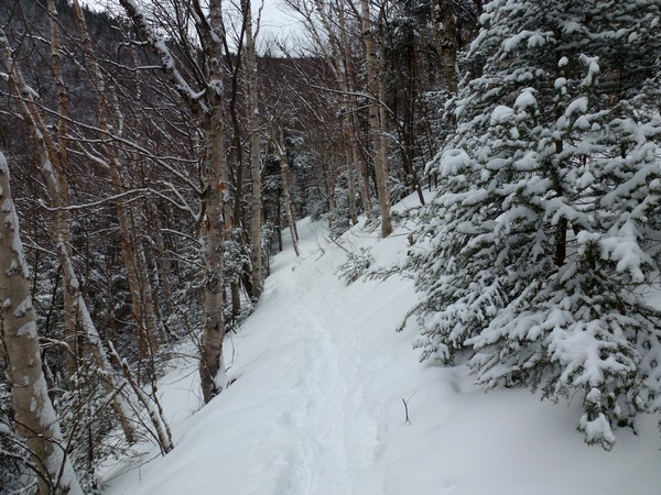
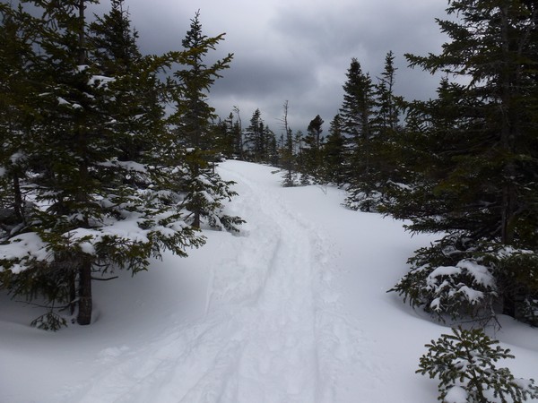
Food helped and once it kicked in I went into overdrive. There were some slow spots going down some of the steeper, snowy sections as the snowshoes would slide in the soft snow if I did not take the time to make sure one was firmly set before trying to move the other.
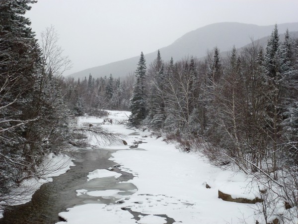
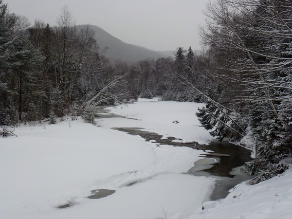
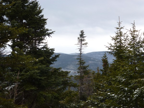
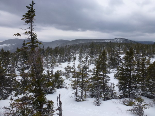
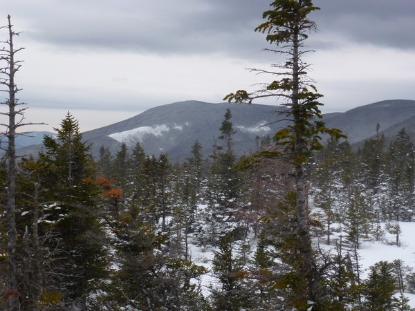
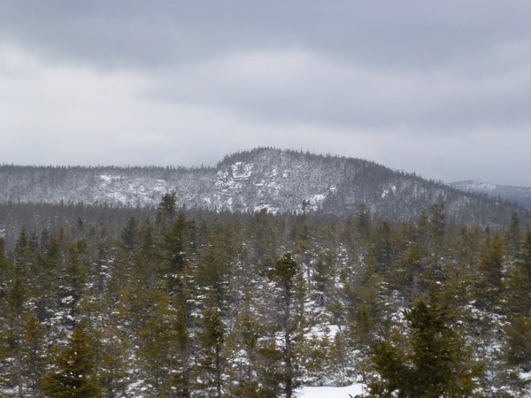
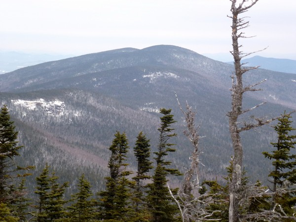
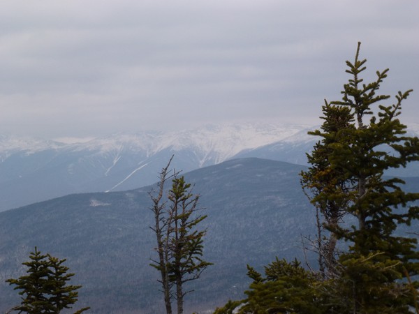
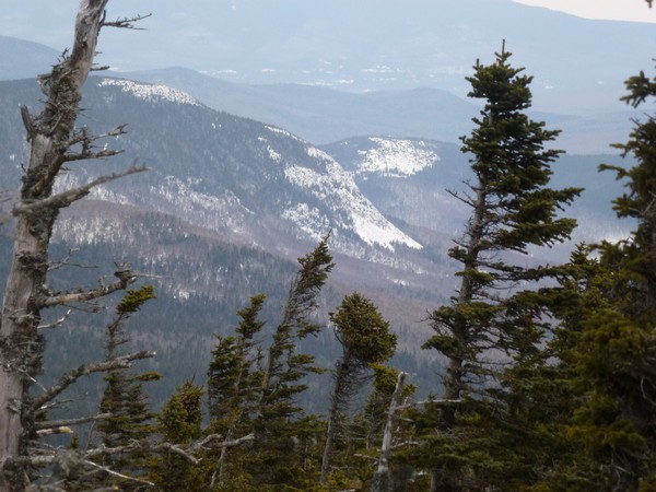
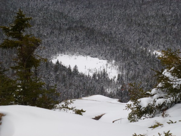
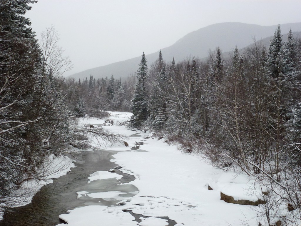
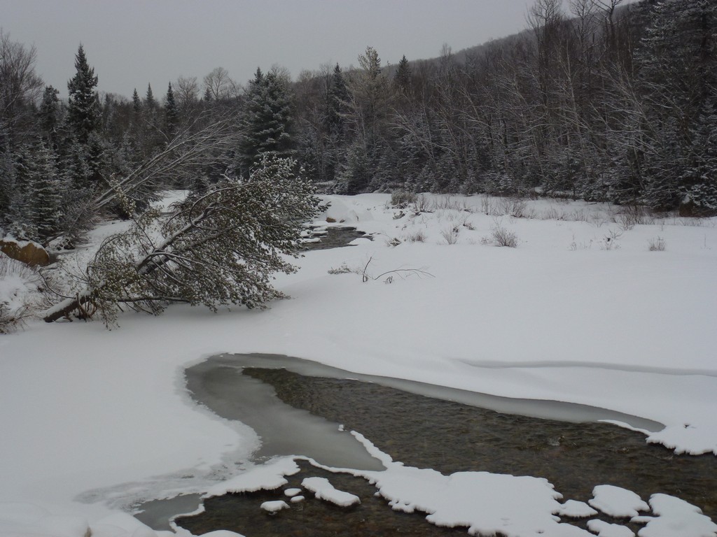
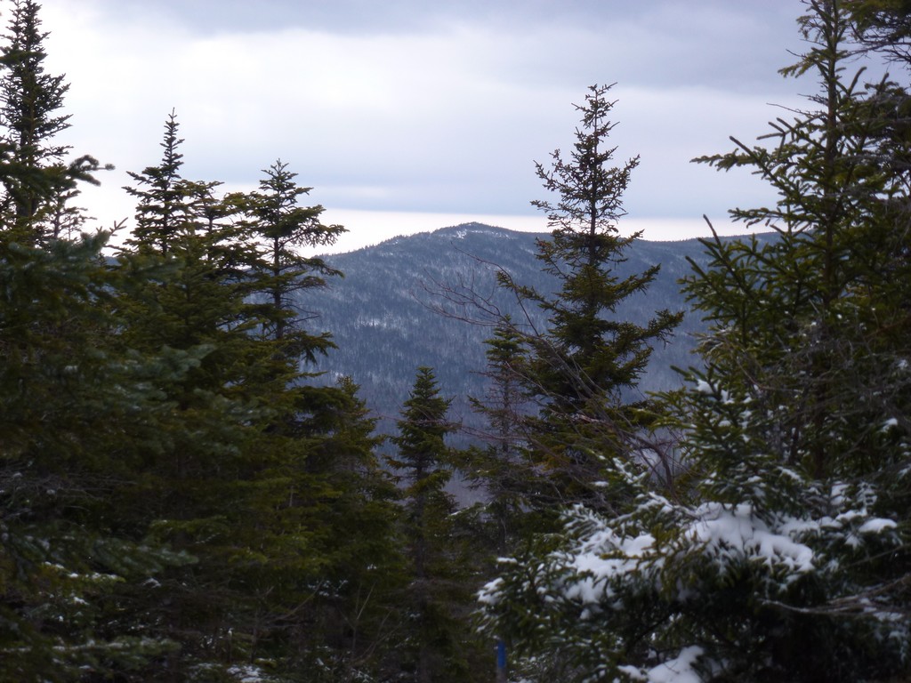
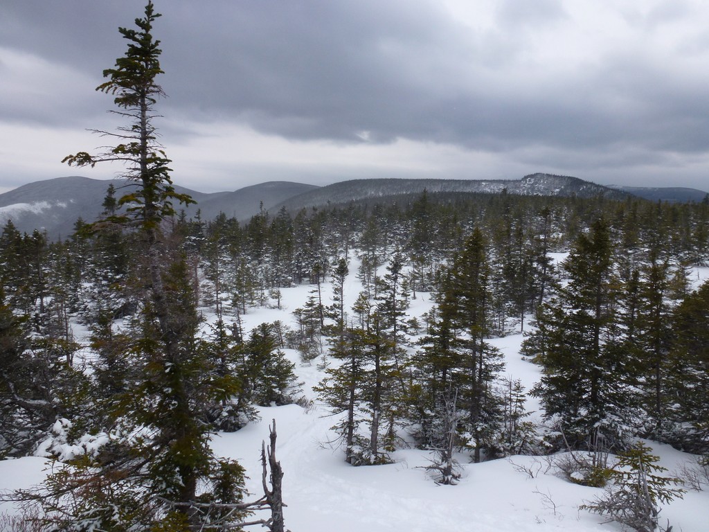
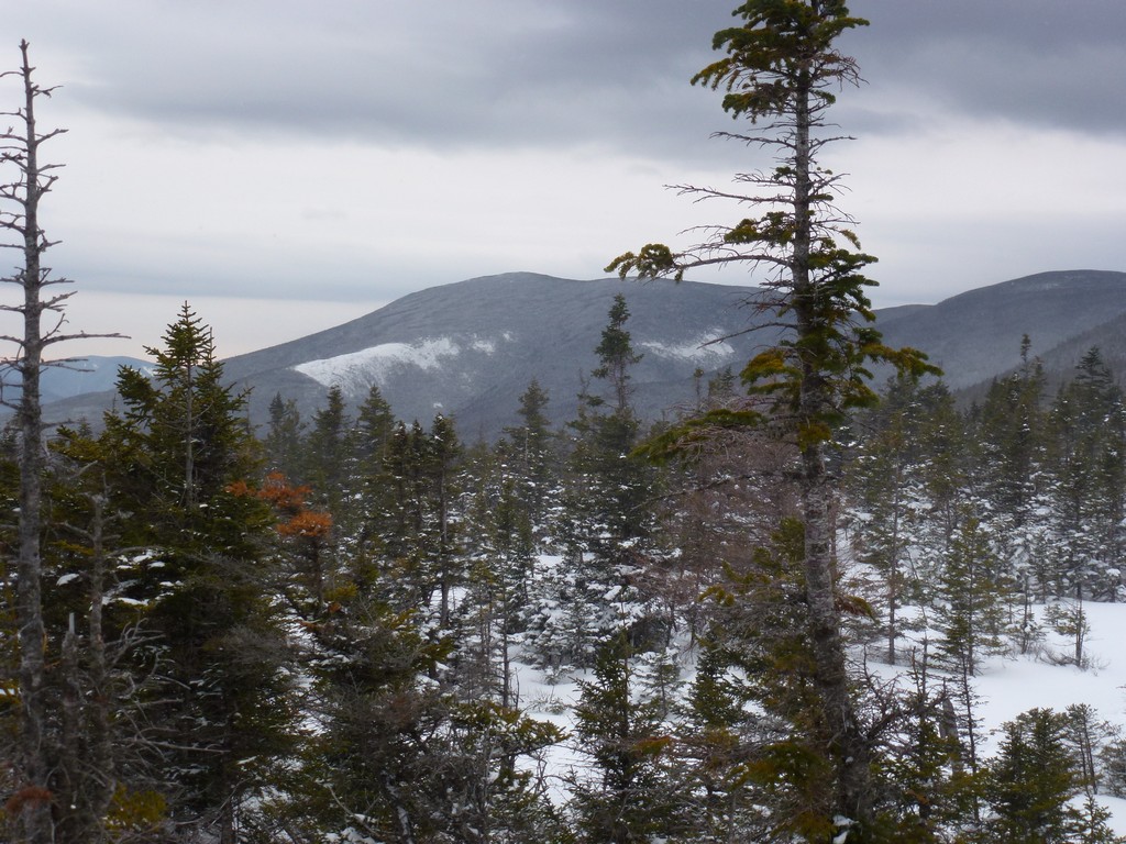
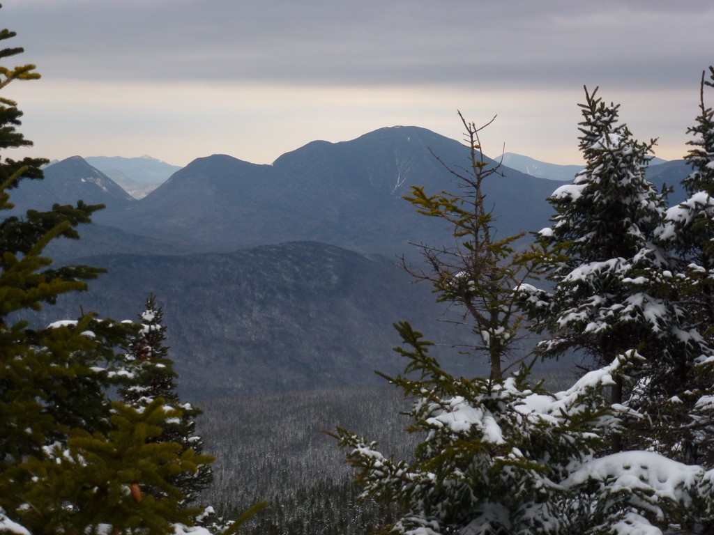
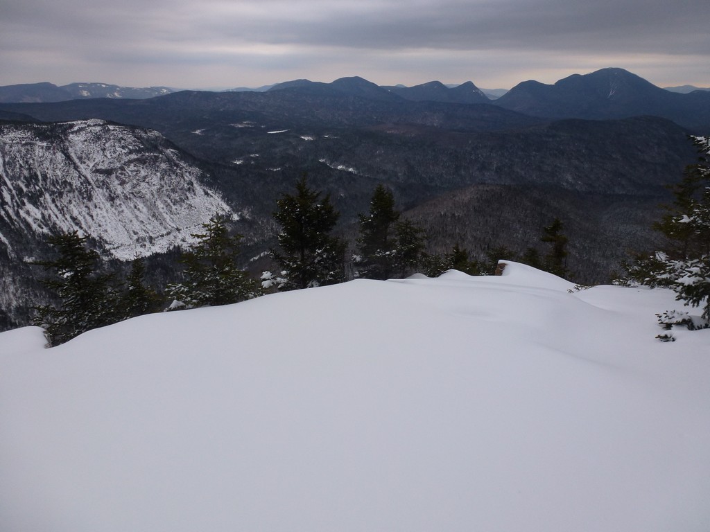
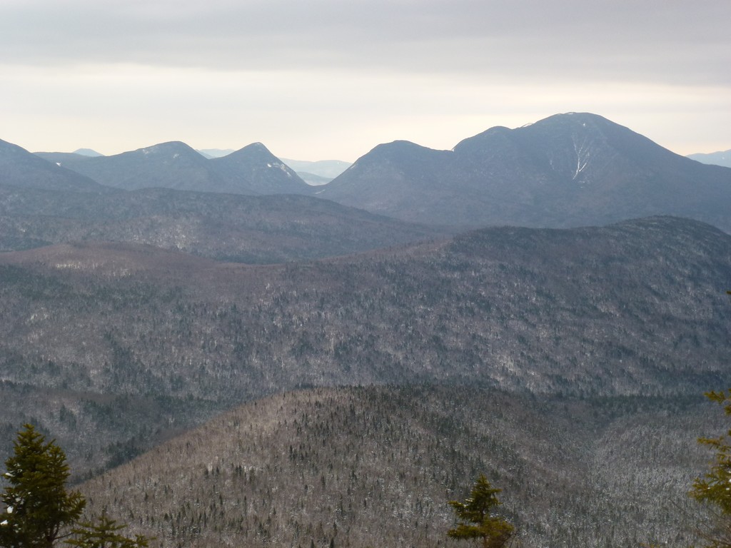
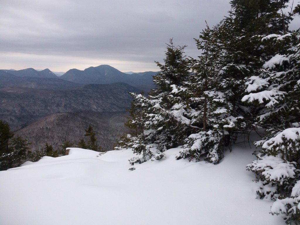
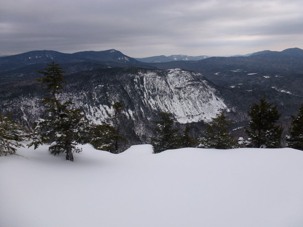
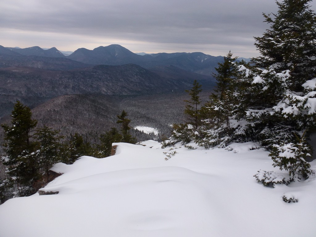
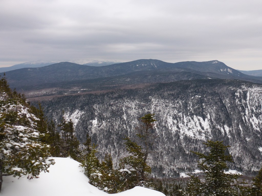
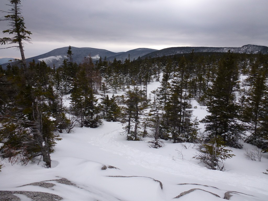
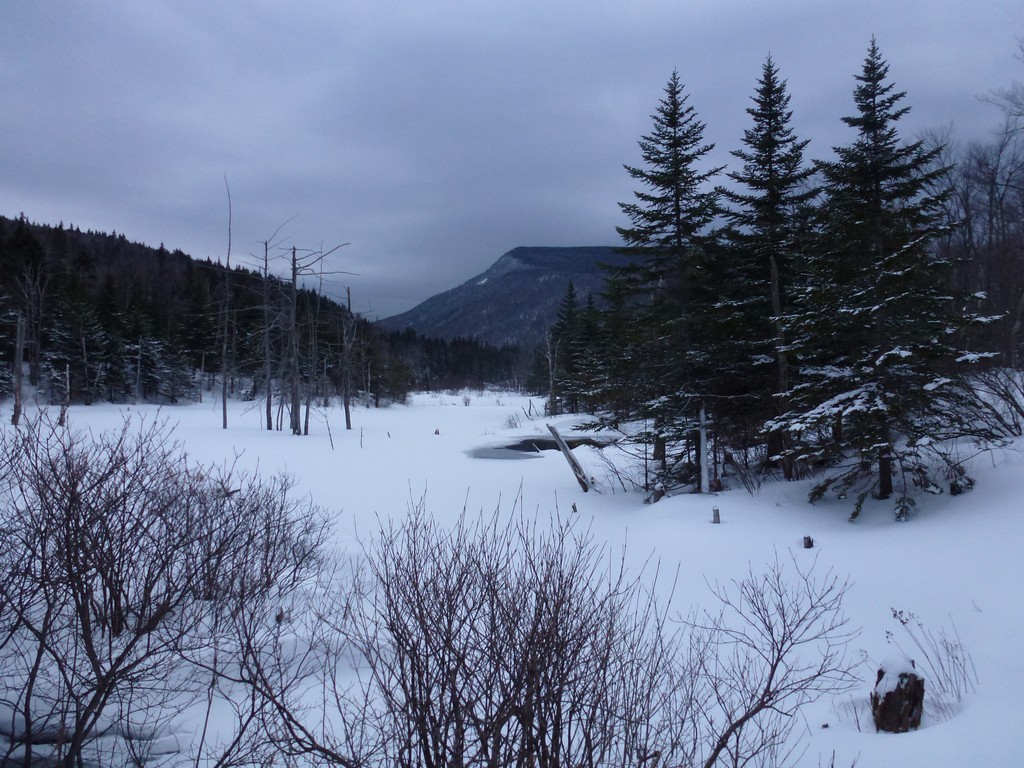
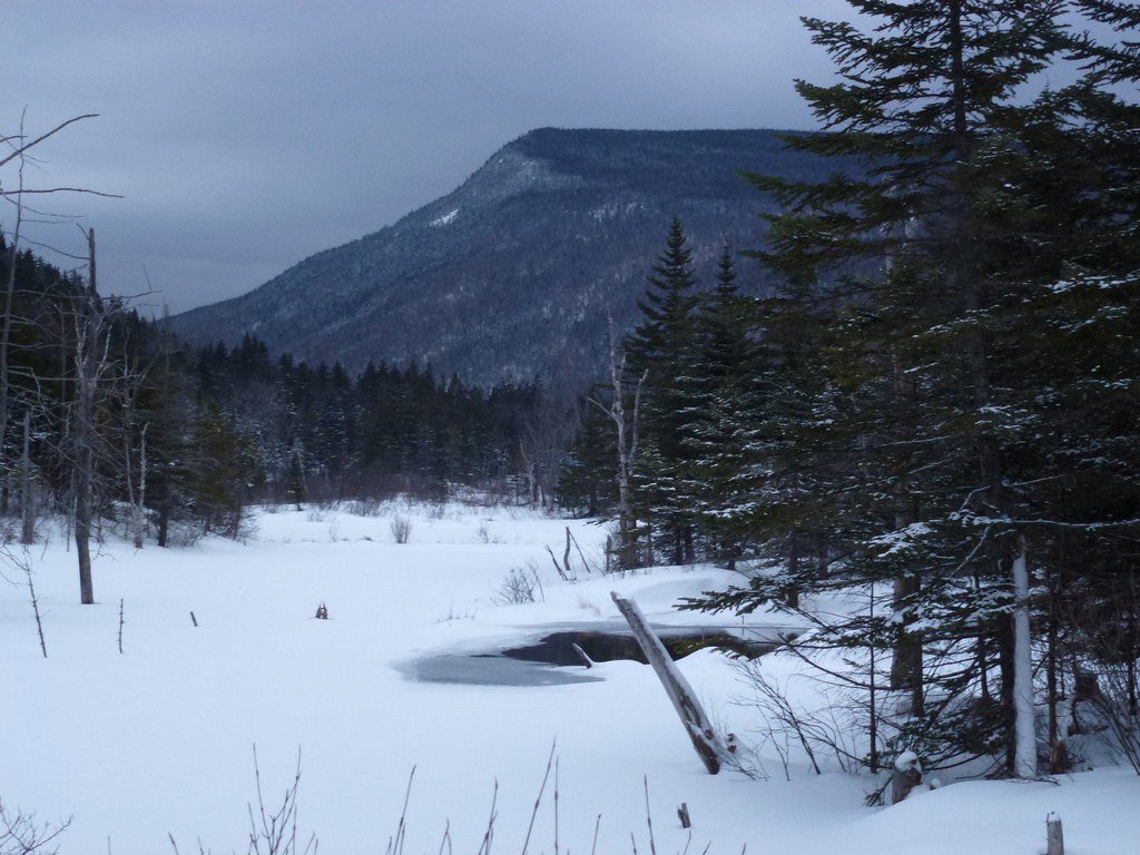
There were really some wonderful, late-afternoon views looking down into the Pemigewasset Wilderness from Zealand Ridge,
|
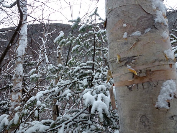
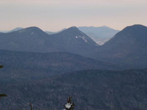
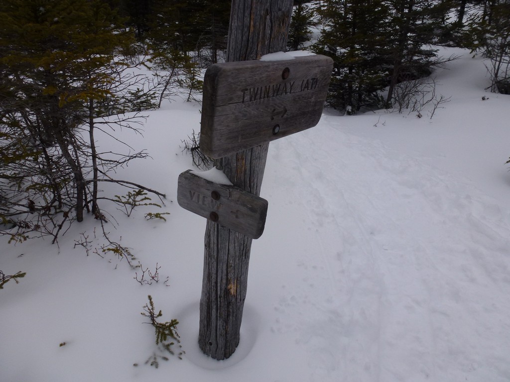
I passed a sign that just said "View" on the way in and considering I was behind schedule and the trail to the view was not broken I decided to pass on it. On the way back I just coulnd't though and took the time to try and figure out where the view was. The trail was not obvious in the least and my first attempt dead-ended me in a clumb of dense spruce with no way around. I backtracked a little and went another way and everntually came to a most excellent view. I am pretty sure it was one that I had used for breakfast either the time I went down the Zeacliff Trail to Ethan Pond or the time I dud the Bonds as a day hike... or possiblly both.
|
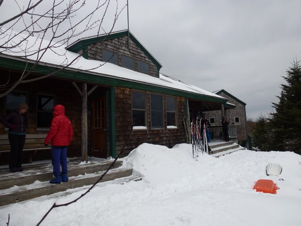
Except for the occasional photo I went pretty much non-stop from the view to the Zealand Hut and Zealand Falls.
|
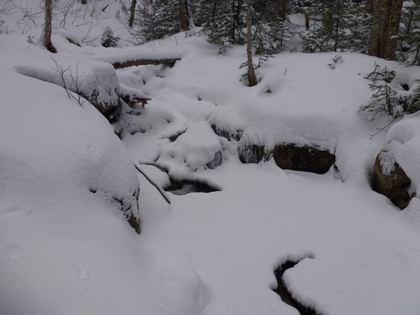
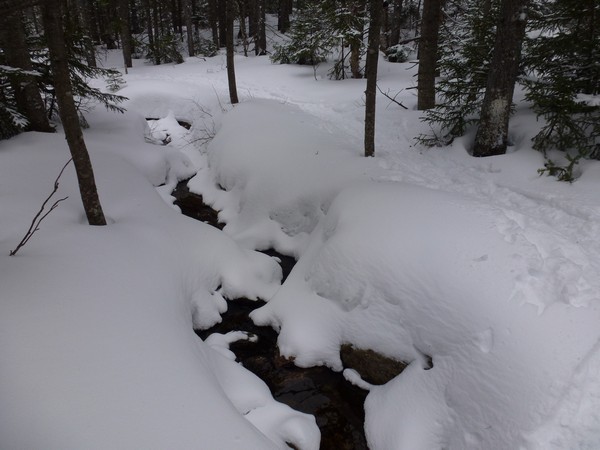
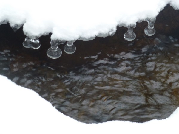
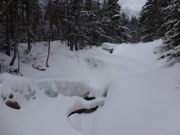
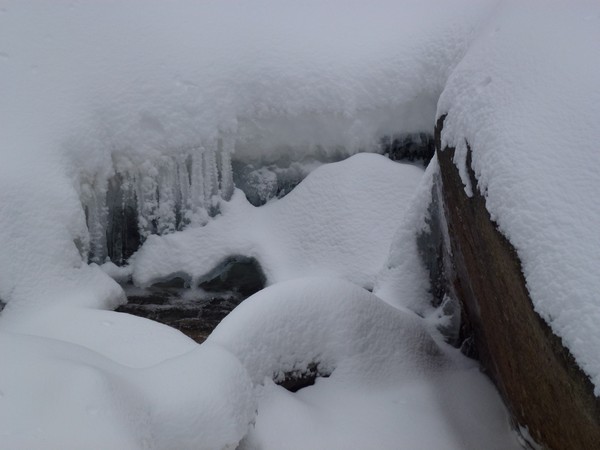
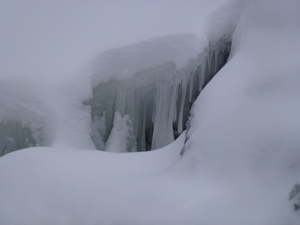
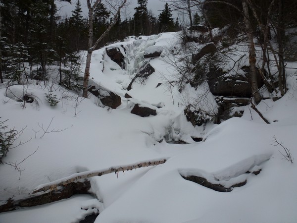
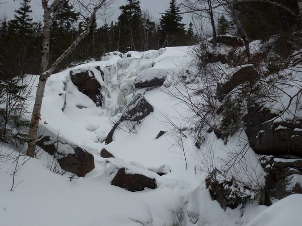
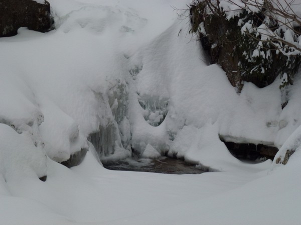
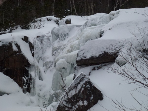
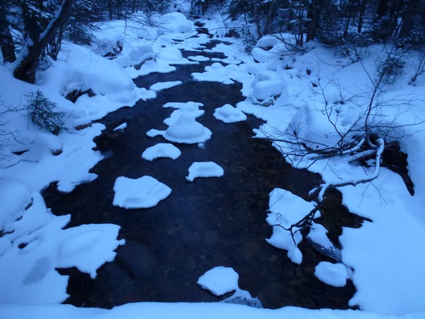
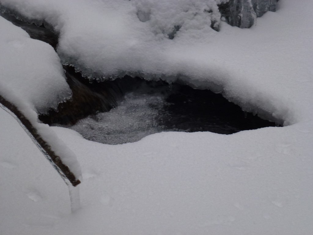
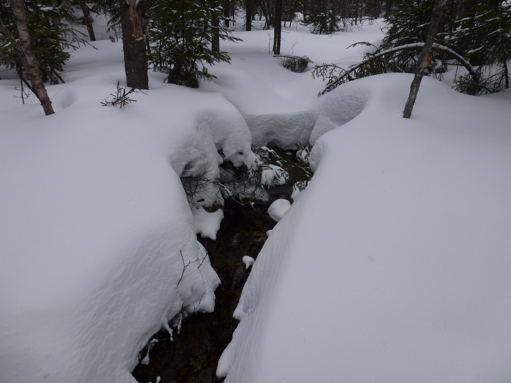
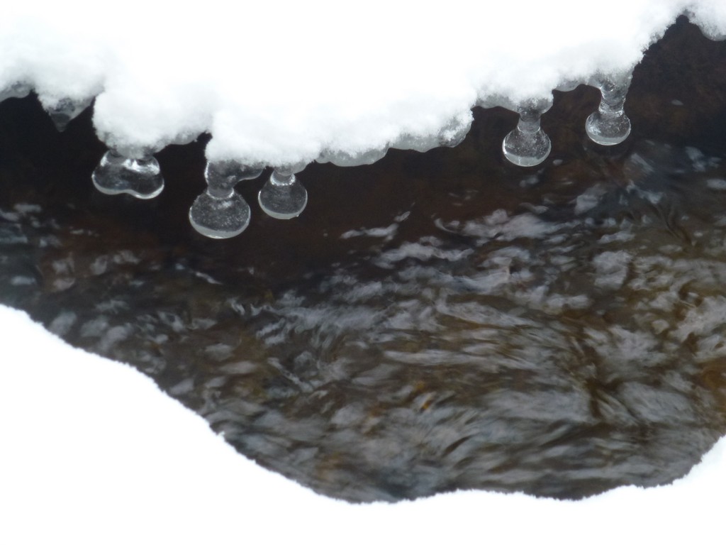
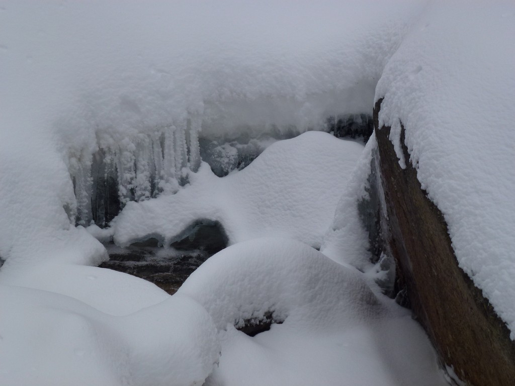
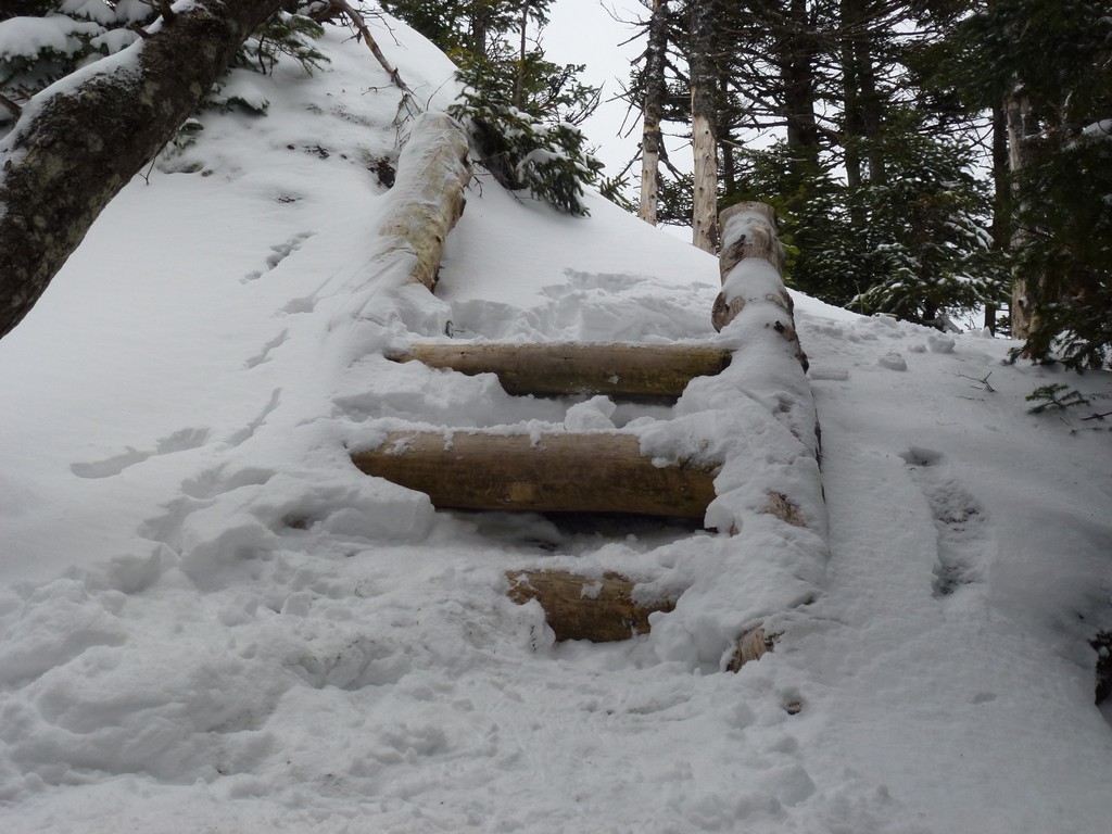
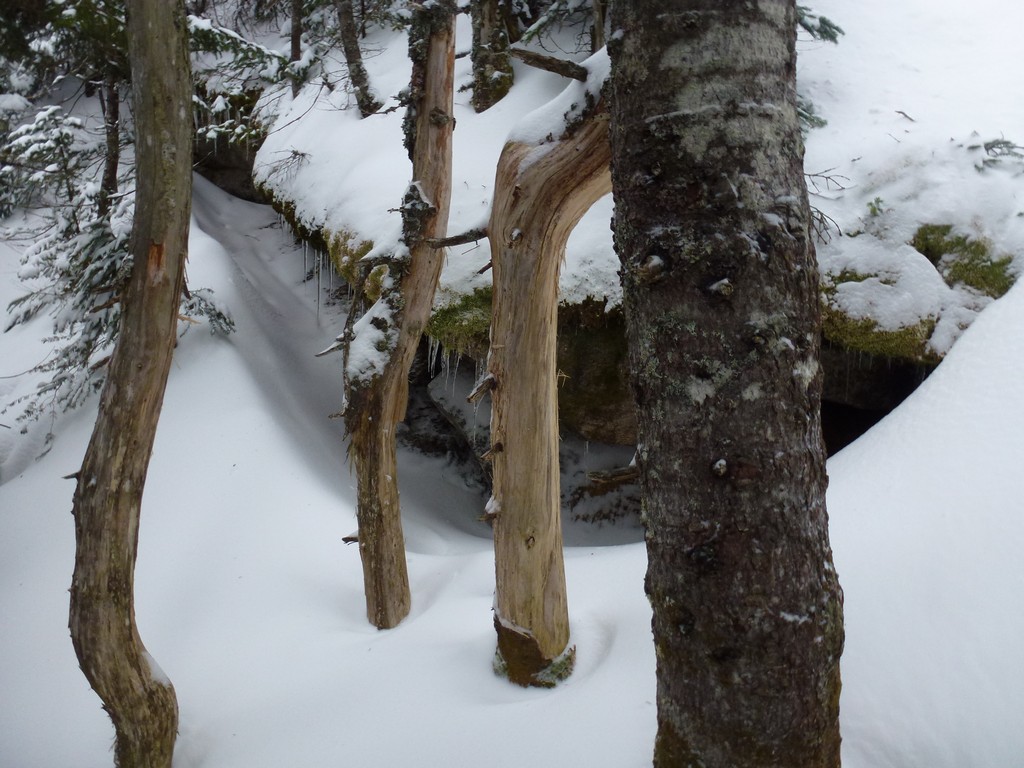
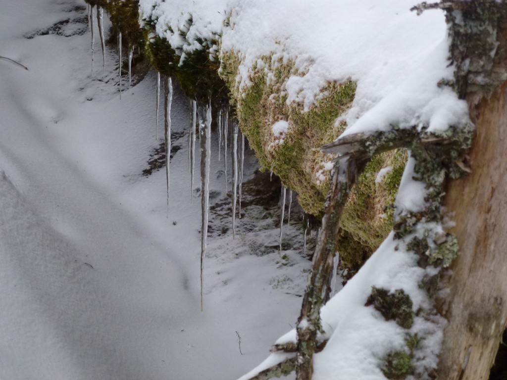
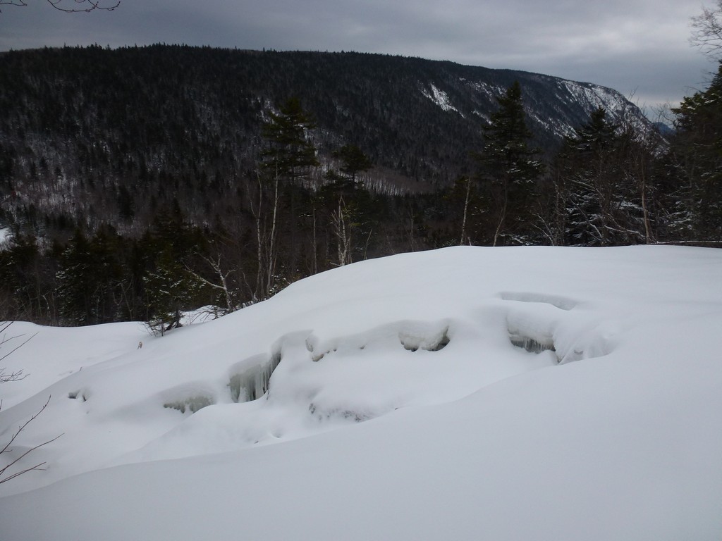
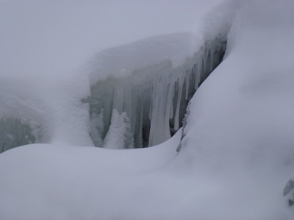
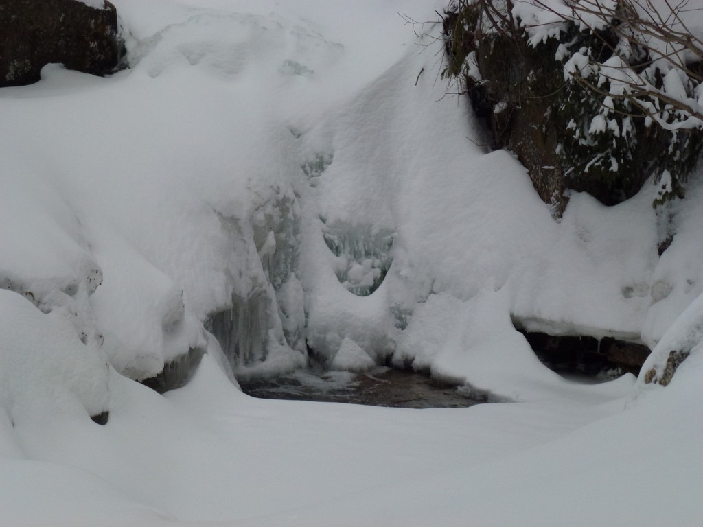
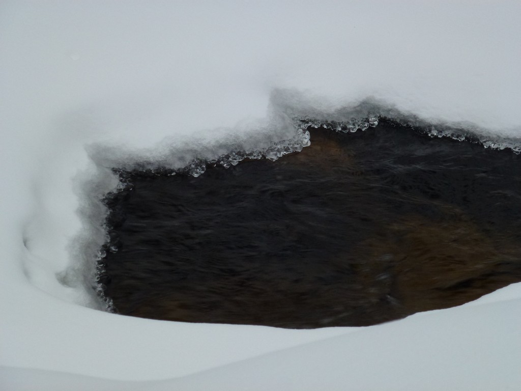
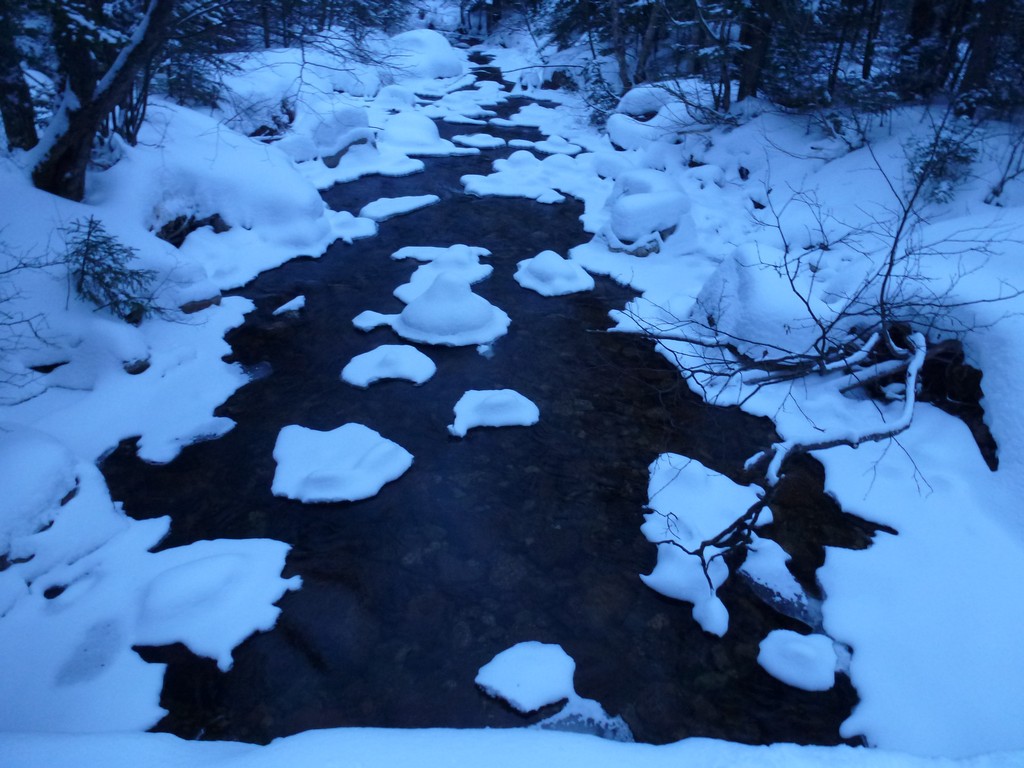
I stopped at Zealand Hut just to get some photos of the upper cascades which were totally covered in snow and ice and not recognizable as such at all.
|
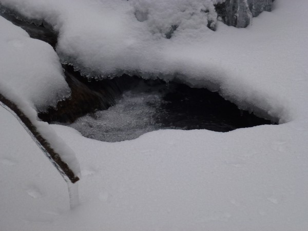
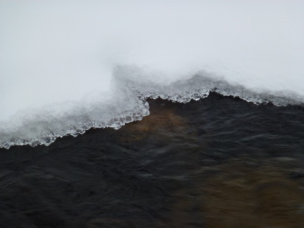
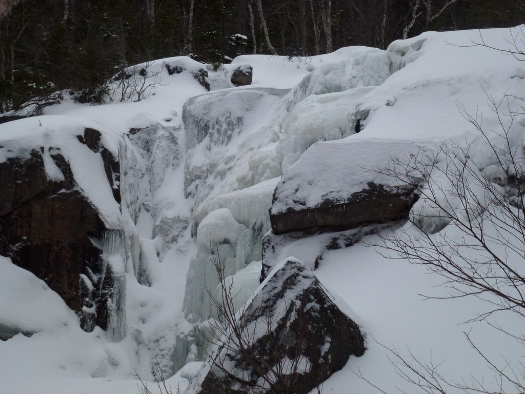
The lower falls were iced over as well but at least it looked like a frozen waterfall.
|
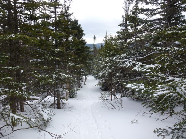
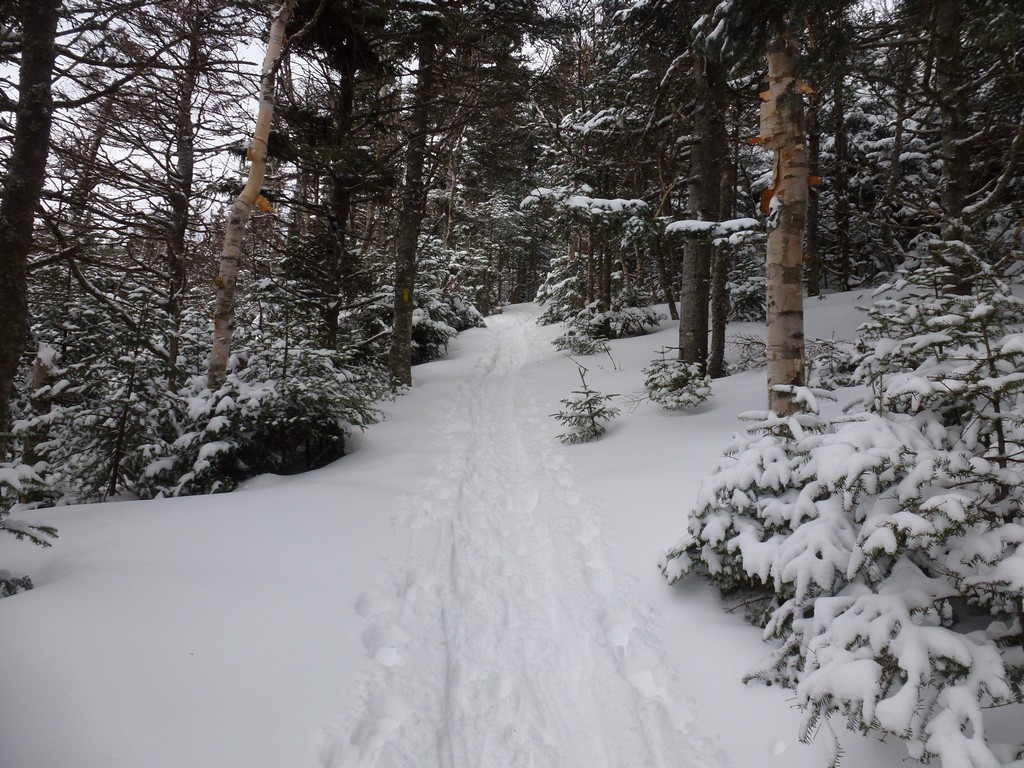
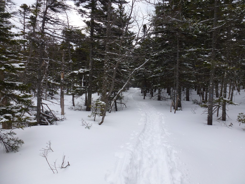
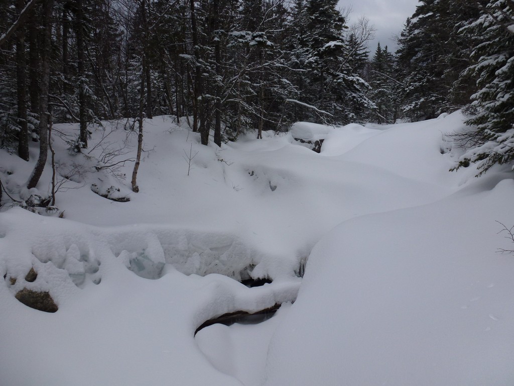
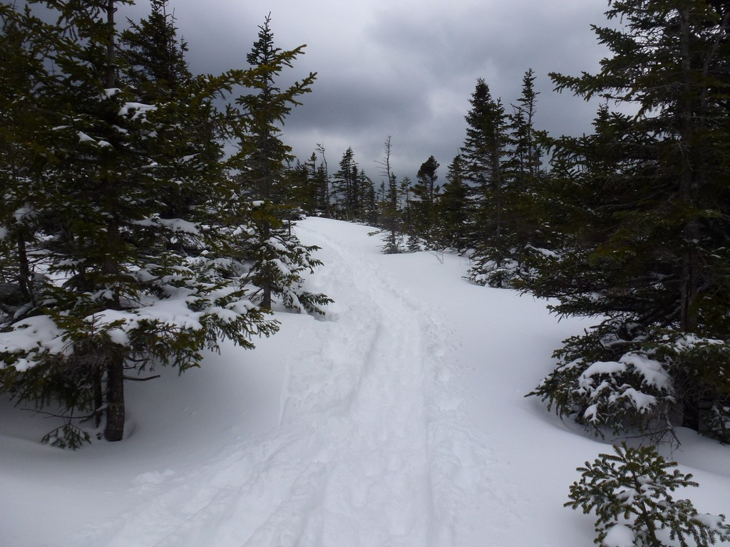
It felt good to finally get to the junction with the Zealand Trail and to know that the remaining 6 or so miles would be pretty much just a long walk.
I had hoped to be at the Zealand Trail by 3:30pm and with the delayed start that would have been 3:45. When I did finally get there it was almost 4:15 though so I had made up a little time but was still behind. I wasn't worried at all at this point though as all I really wanted to do was to finish the climbing portions before it got dark. I knew I was going to be walking out in the dark regardless, it would probably be just a little later than expected. I still had over half of an hour until sunset and probably an hour or so before it would be dark so I headed off down the trail hoping to get as close as possible to Zealand Road before it did finally get dark.
I was very pleased it was still light enough to be able to get off a few shots of Zealand Pond and Zeacliff behind it. I did make one stop before it got dark to eat some more of my food and drink some more water. I knew that once that kicked in it would make this finally walk back to the car a lot easier.
|
It got dark before I made it back to the Zealad Road but I was close, perhaps within 20 minutes or so. There was a little bit of confusion with the trail after it did get dark and there seemed to be more than one possible route for the trail near the end of the road.
Once on the road I made pretty good time but those last couple of miles were long and seemed to go on forever. There really isn't much to look at in the dark and it was pretty much just trudge, trudge, trudge. Finally getting close enough to the highway to hear cars and then see lights was very selcome.
|
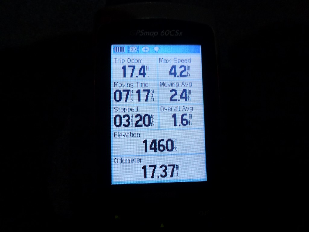
I ended up getting back to the car at 7:10pm and the original plan, without the delayed start, was for 6:50pm. Taking the 15 minute delayed start into account I was only 5 minutes late based on my hiking estimates which spead over 12 hours is pretty much negligable. I was somewhat slower on the uphill sections and somewhat faster on the flat and downhill sections. Yhe 20 or so miles had taken almost exactly 12 hours which gave me an overall average of just under 1.7 miles per hour.
|
I was very happy that I was staying in Twin Mountain that night and did not have to drive all the way back home. I still probably could have nade it home by 10:30 or 11:00 at the latest but I was very tired after hiking 20 miles, my feet (toes mostly) were feeling very sore, and it would feel very good to just take a nice hot shower and crash. The motel in Twin Mountain was less than 4 miles away. I was not sure if I would finish the hike early enough to get dinner anywhere so I had brought food with me for that. I stopped off at a store in Twin Mountain on the way to the motel and picked up some beer to go with it. Life is good.
|
|
|---|
|
|---|


