|
Hancock Mountain Day Hike - North & South Peaks |
|---|
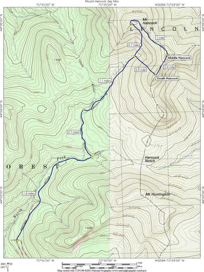
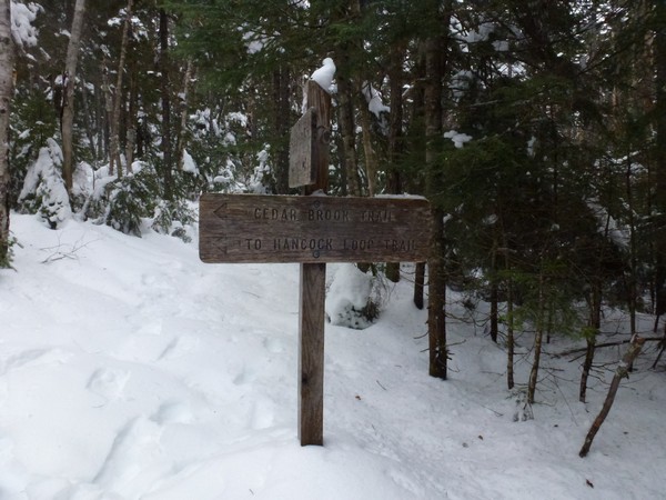
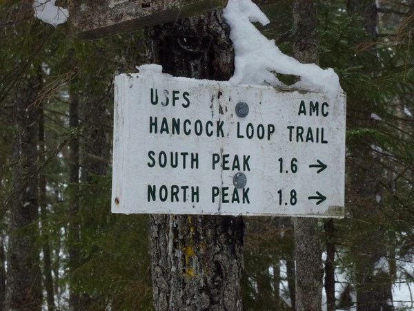
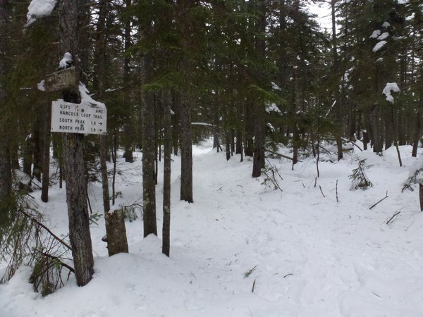
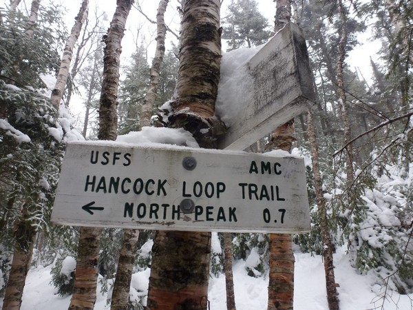
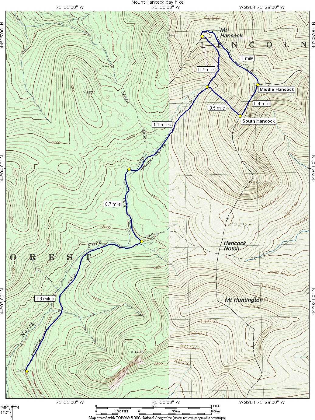
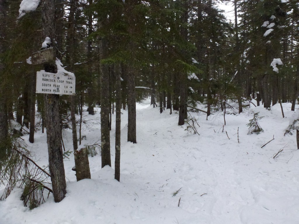
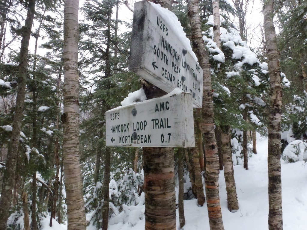
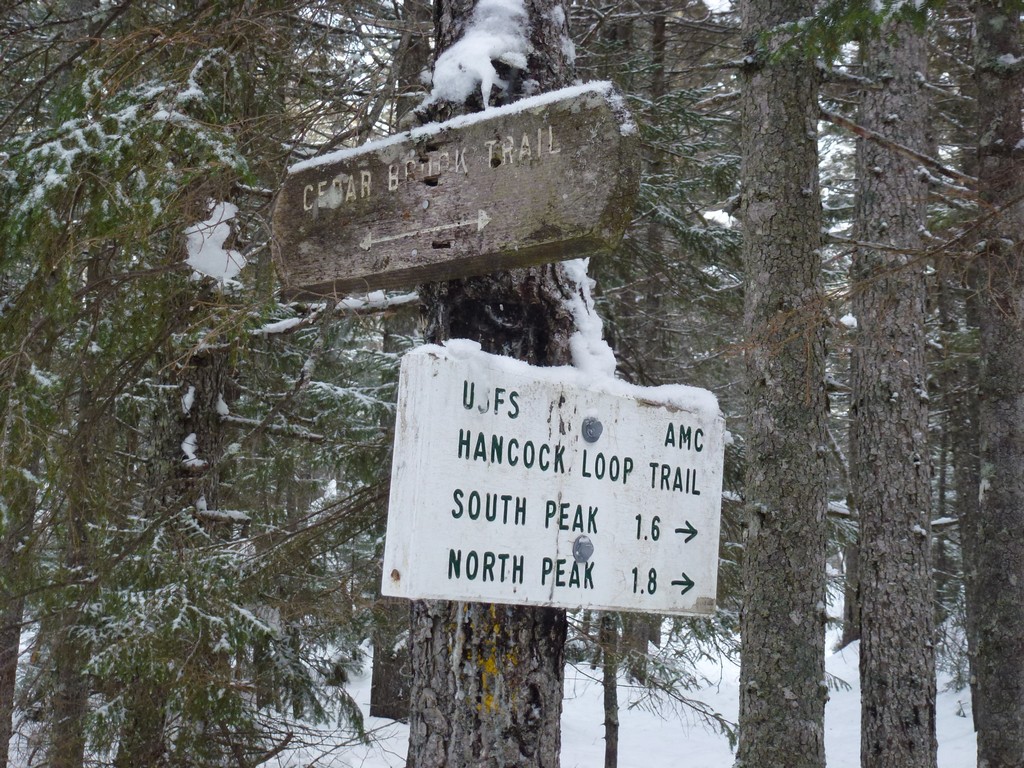
This day hike started at the parking lot for the Hancock Notch Trail off of the Kancamagus Highway (New Hampshire Route 112) in the Lincoln, New Hampshire. From the parking lot I took the Hancock Notch Trail to the Cedar Brook Trail to the Hancock Loop Trail. I went up South Hancock first and then across the ridge to North Hancock. I continued the loop back to the fork and then went back out the same way I had come in.
|
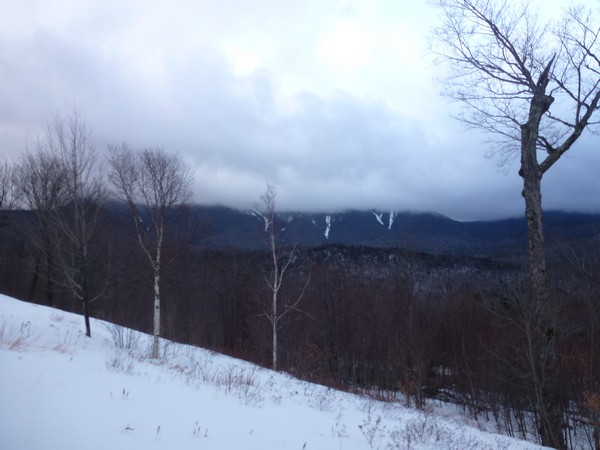
This day hike started at the parking lot for the Hancock Notch Trail off of the Kancamagus Highway (NH Route 112) about 10 miles east of Lincoln, New Hampshire. The Hancocks would be numbers 23 and 24 on my winter New Hampshire 4000-footer list, finally getting me to the halfway point. I arrived at the parking a little after 8:30 and started hiking right away.
|
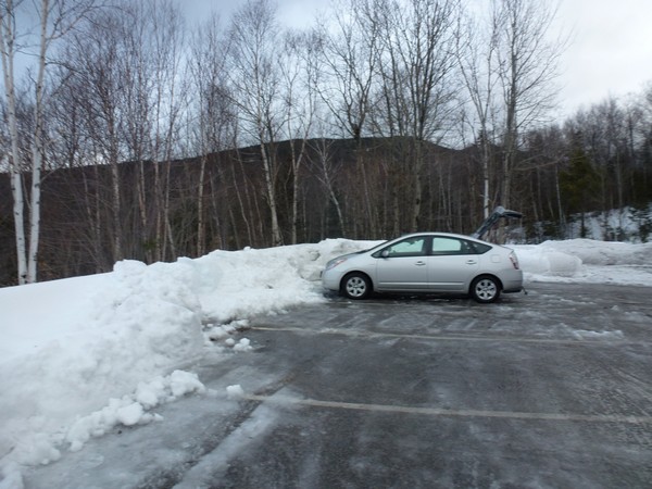
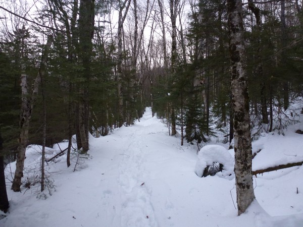
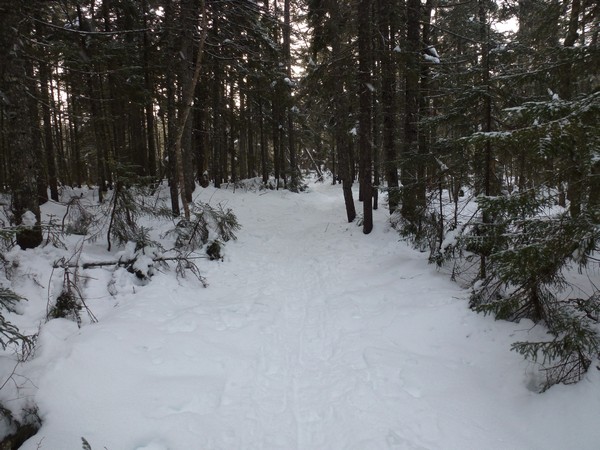
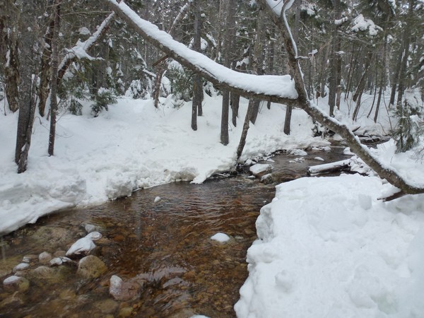
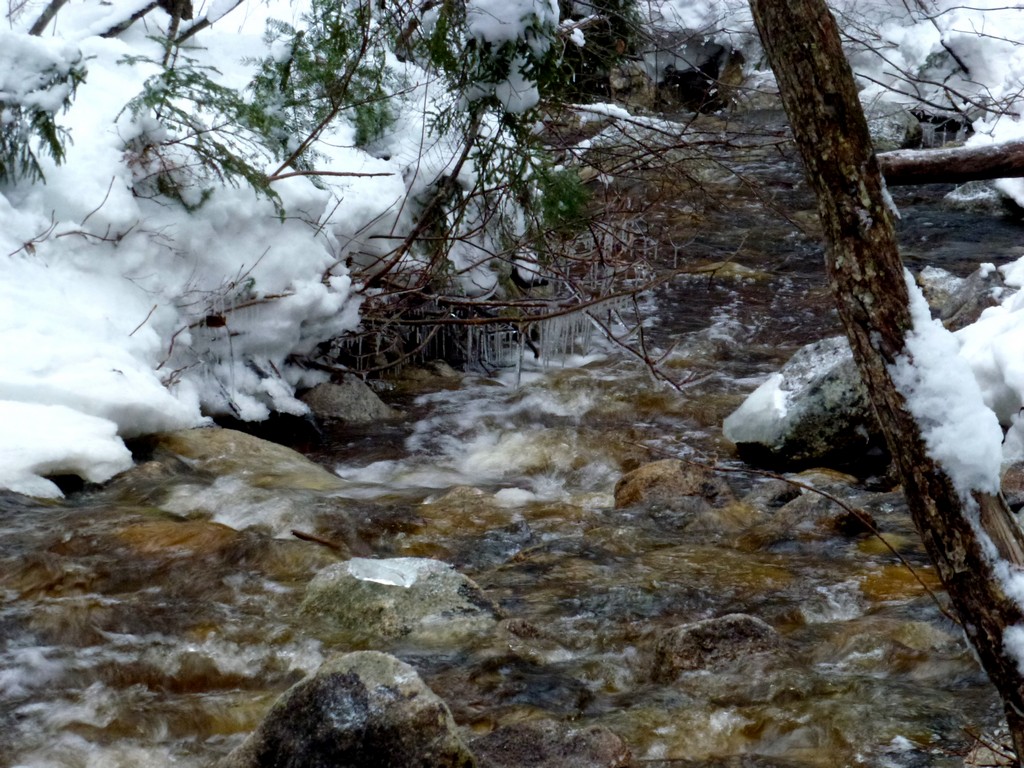
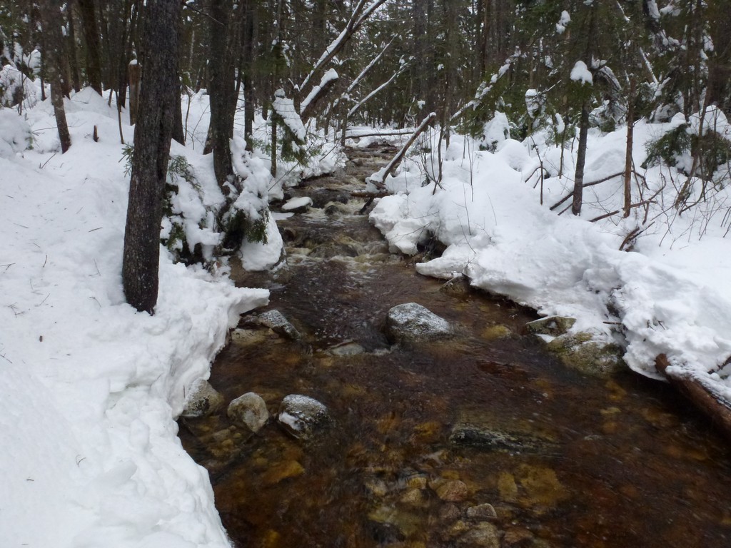
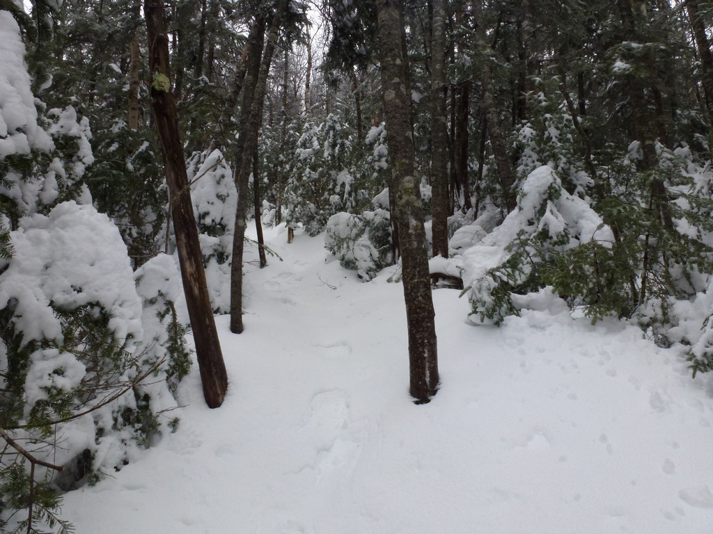
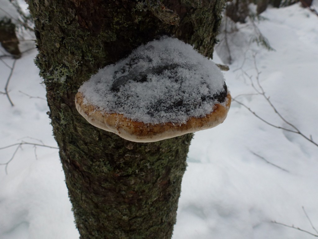
The first part of the hike along the Hancock Notch Trail was very easy. The trail was well packed and I did not even need my snowshoes.
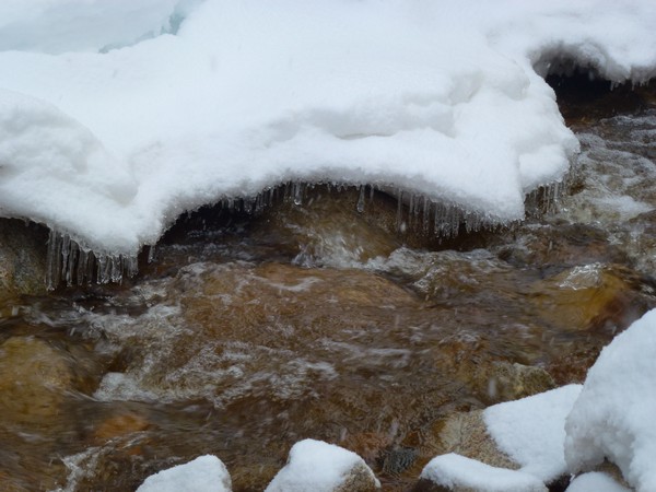
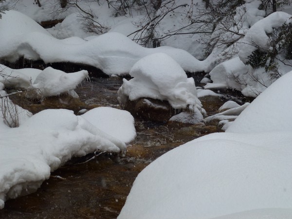
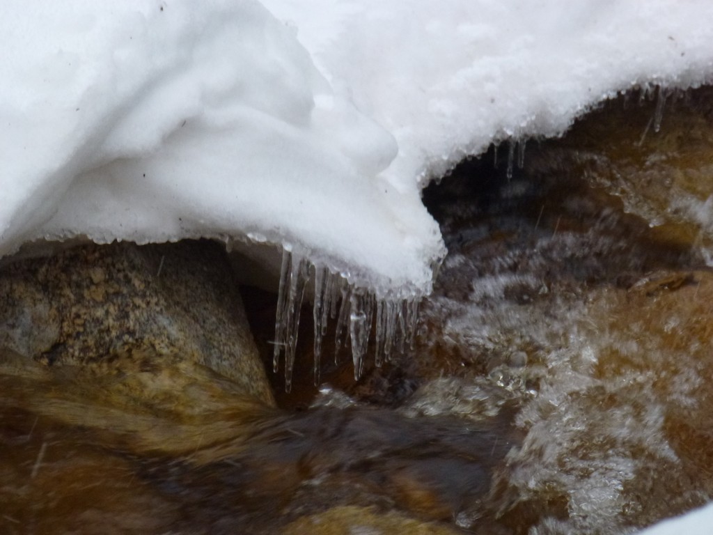
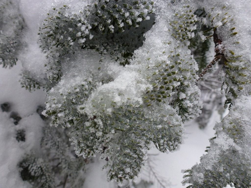
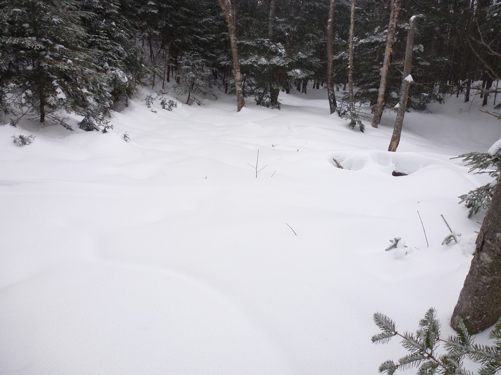
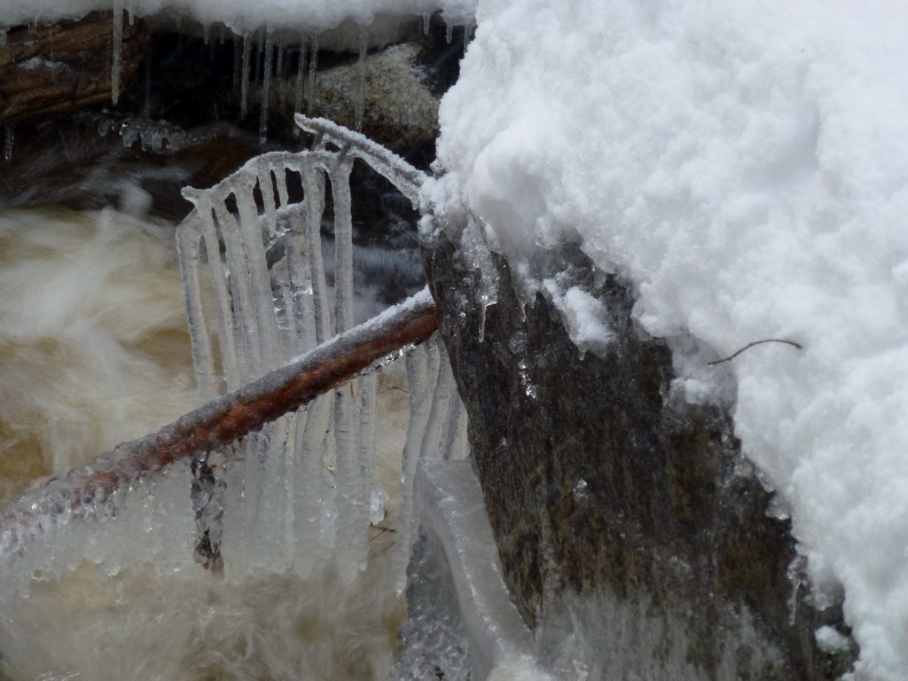
I guess it was a pipe dream thinking that the rain would have washed away all of the snow at the lower elevations though. There was lots of snow. I had not been keeping a watch on the snowfall up there until the past week but it must have been snowing a lot since I was last up there in mid-November. The rain did manage to put a hard coating of ice on top of the snow which made things interesting at times.
|
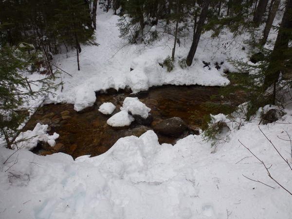
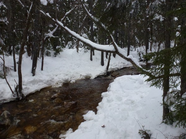
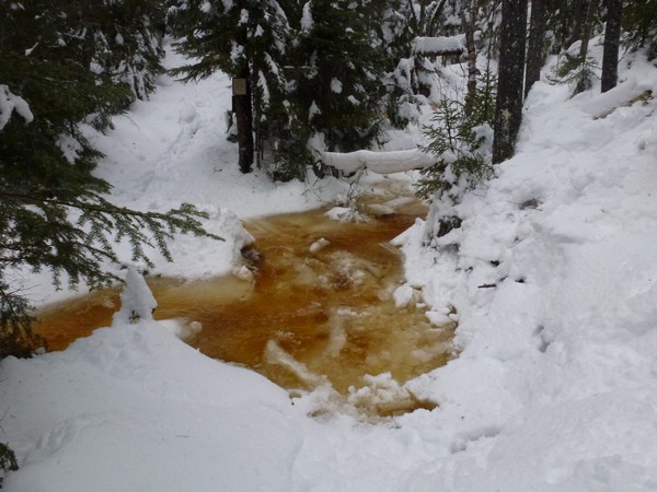
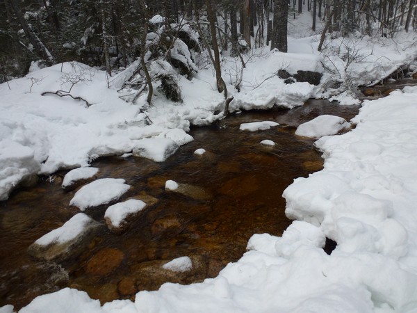
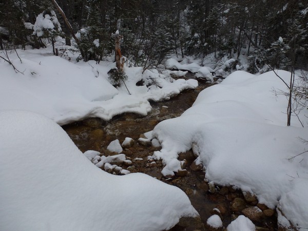
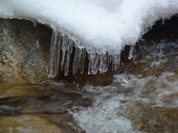
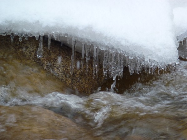
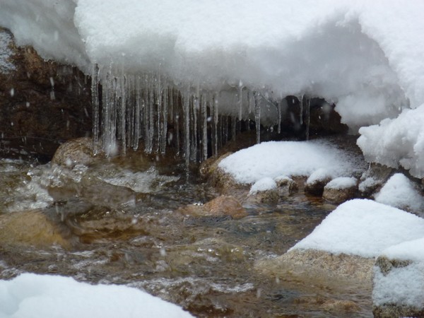
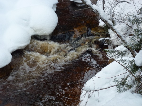
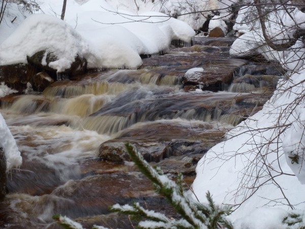
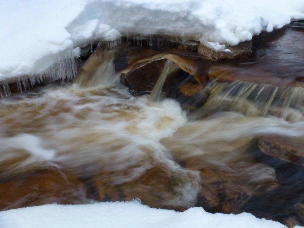
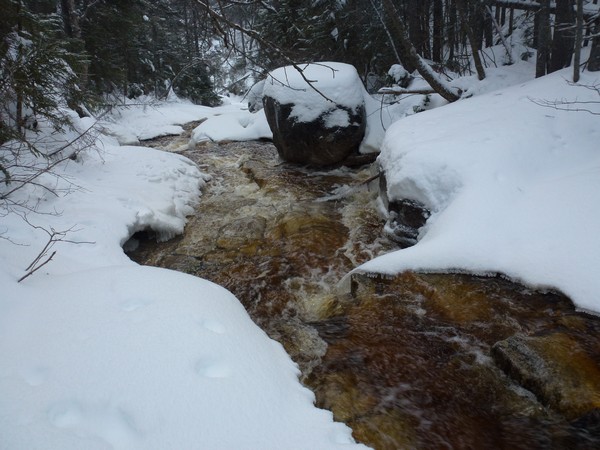
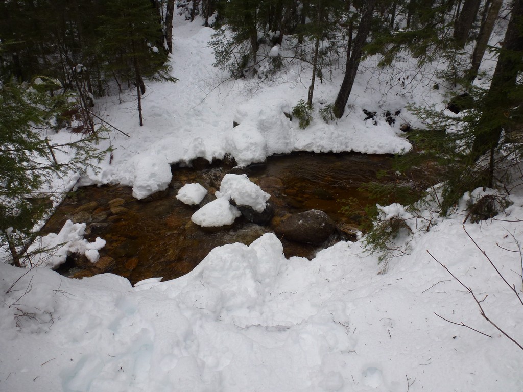
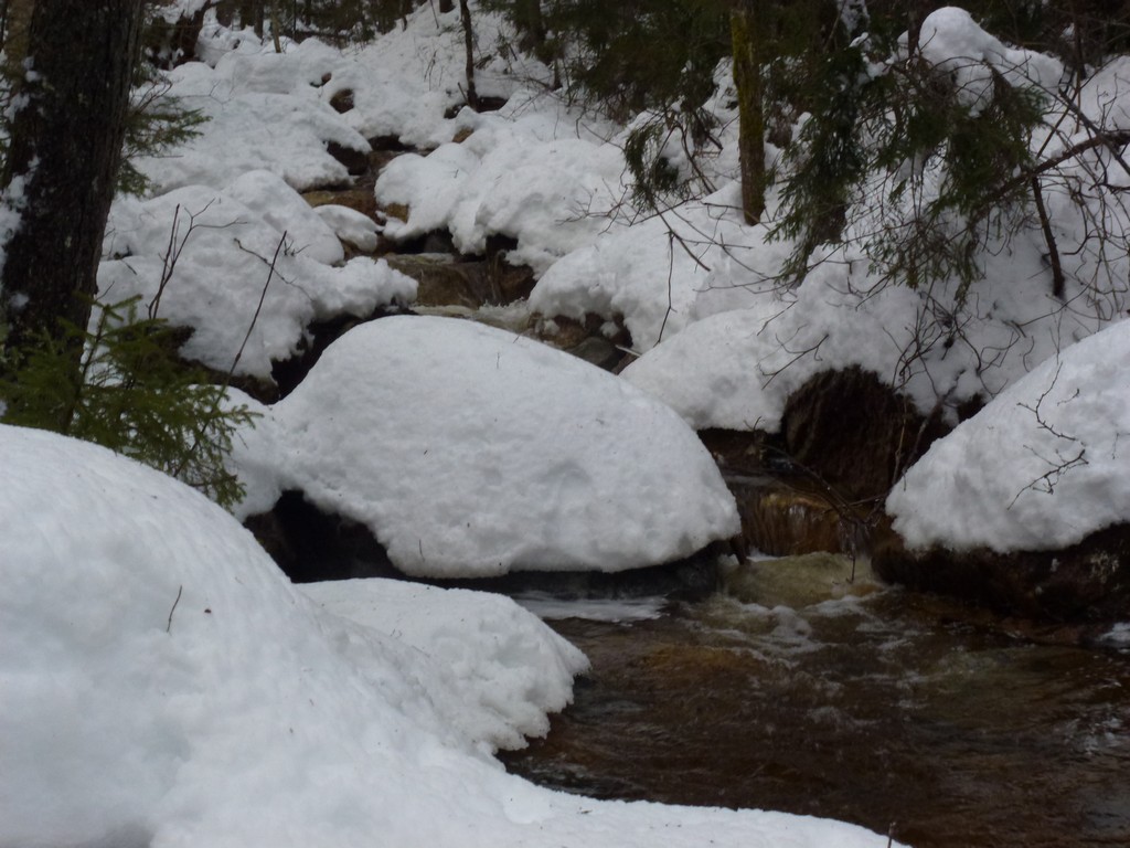
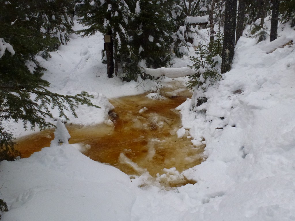
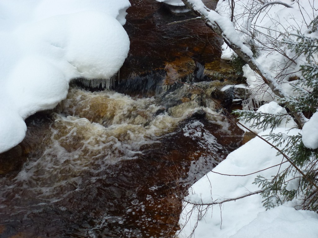
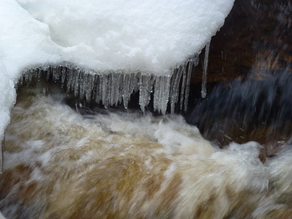
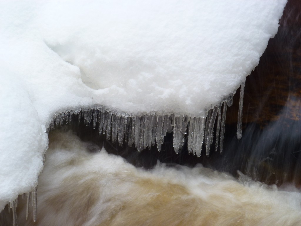
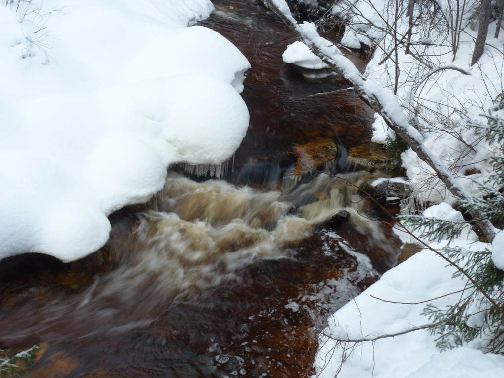
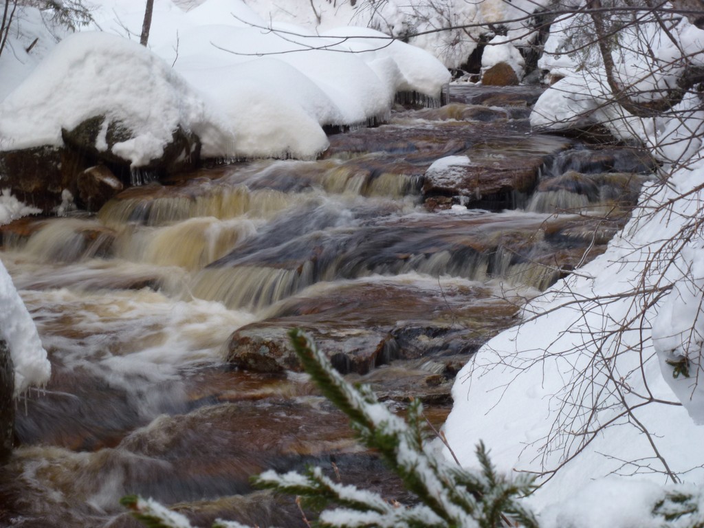
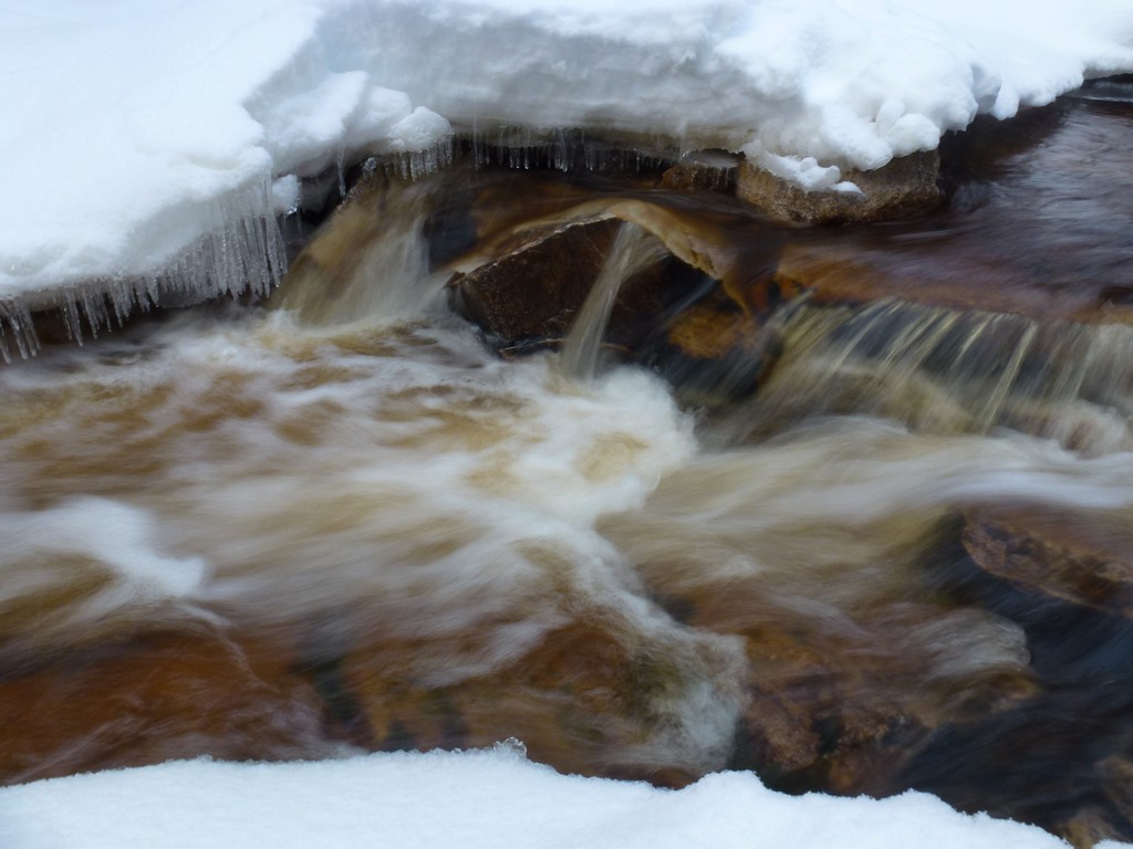
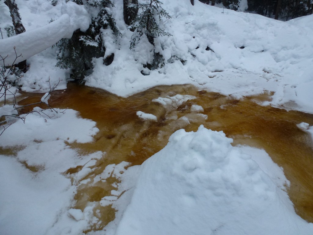
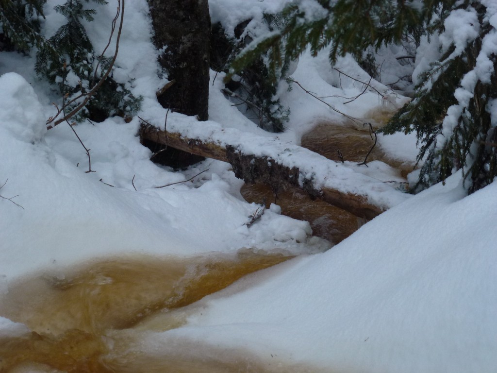
The brooks were also all running with torrential flows of water compared to what I have seen in the past. I manage the first crossing without any difficulty.
|
The second crossing of Cedar Brook was a little more tricky because of the high flow and placement of rocks for crossing but I still made it across without incident.
|
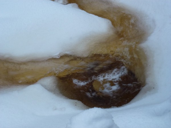
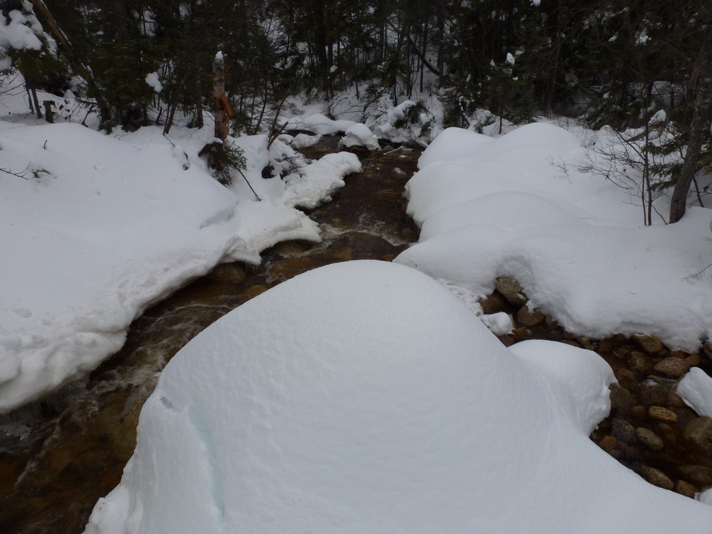
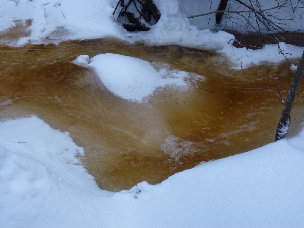
The third crossing was problematic since it was fast water flowing over a slushy mixture. A pair of guys who crossed just ahead of me used snowshoes to stay on top of the slush and suggested I try the same. I had the snowshoes with me so I decided to give that a try. I almost made it across but then the last step with one foot went through and under water. I thought some water got into the boot but after having the foot of water for a couple of minutes it felt fine. I had thought about turning around and bailing at that point but decided to continue on. It turns out only one of these guys ahead of me used snowshoes and the other tried it with just his boots. He got soaked and he did bail.
|
A little further up I met another group that was having trouble making a crossing. Why they were crossing where they were I just don't know because they were trying to cross to my side from the other side of the brook.
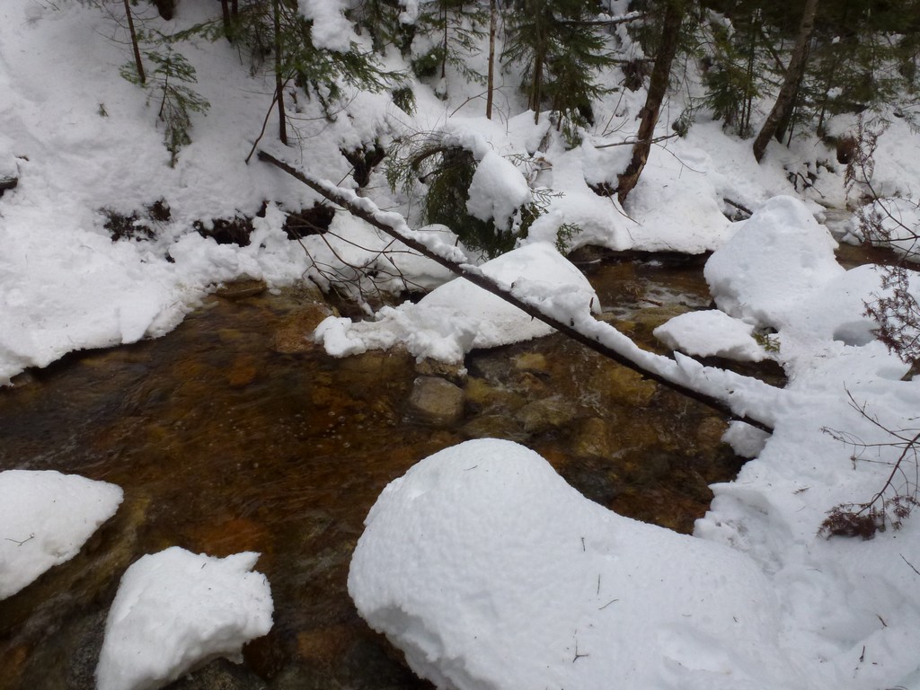
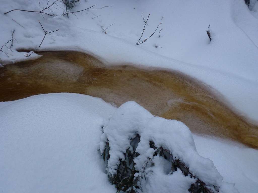
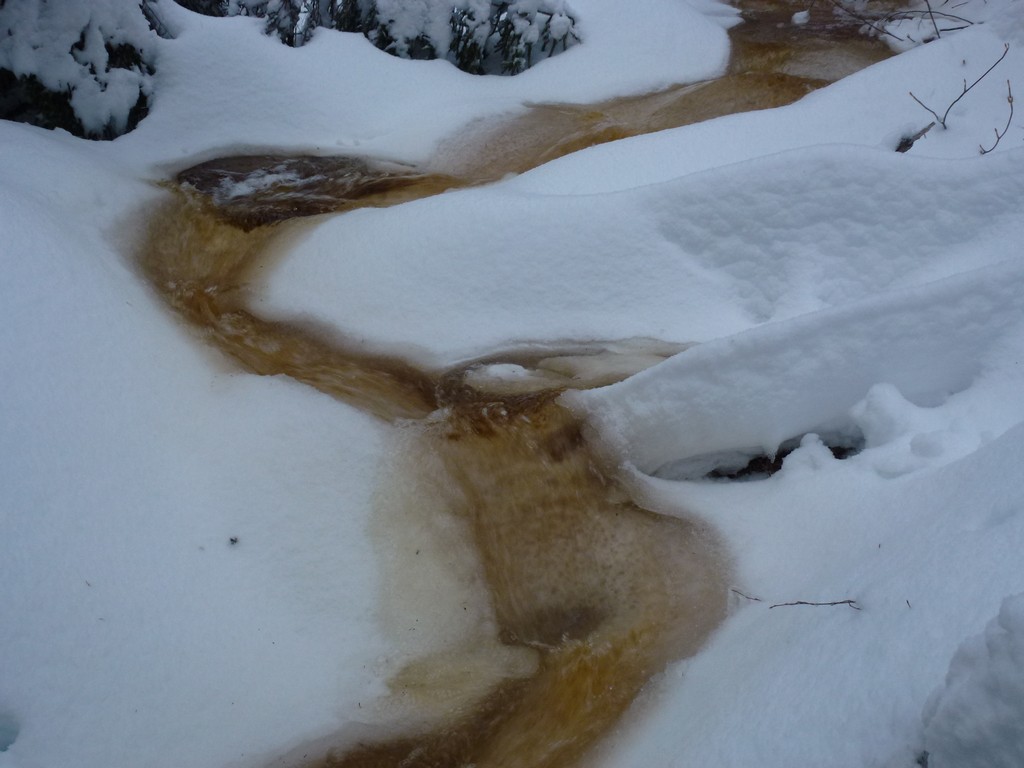
I managed another crossing okay but then the trail disappeared and was replaced with flowing water. I tried to go along the edge of this but the other foot went under at one point. Still didn't seem like any water got in but I knew this wasn't going to work. Some other people were bushwhacking through the forest on the other side of the brook so I decided to give this a try since the real trail was under water. I managed this crossing without difficulty, managed to bushwhack my way back to real trail some distance ahead, and then managed two more crossings.
|
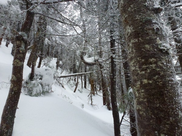
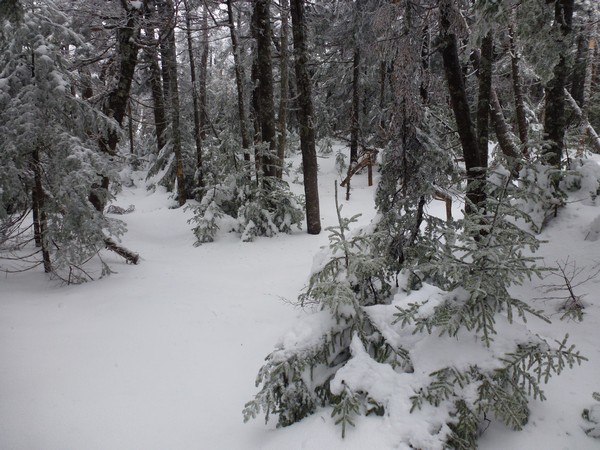
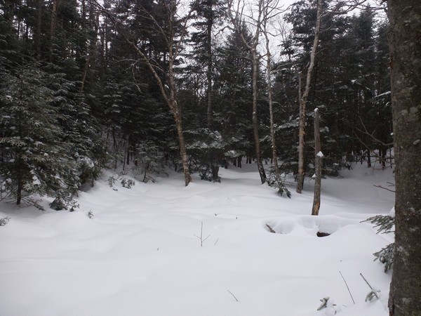
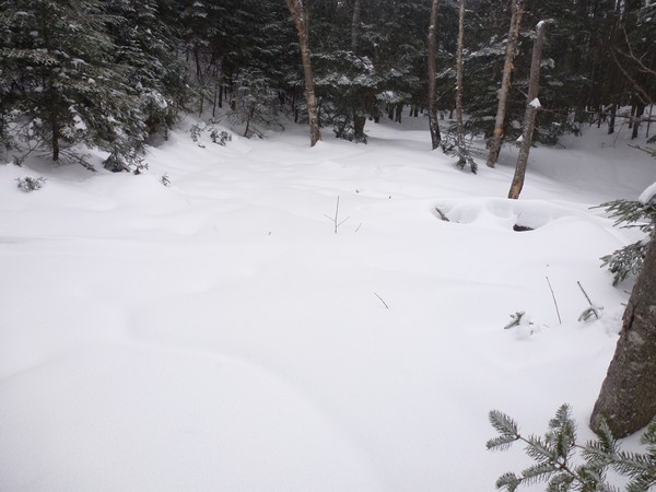
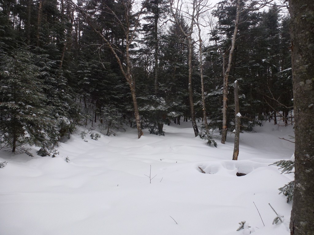
The trail started climbing and the snow just got progressively deeper the higher I went. Luckily my new MSR snowshoes are wonderful and had no problem at all gripping the snow on the steep ascent. I never would have been able to do this without snowshoes or with my old snowshoes. I met one guy on the bushwhack coming down who had bailed because he didn't have snowshoes and the snow was just too deep for bare boots. That was the last person I saw.
|
I followed one set of snowshoe tracks to the top of Mount Hancock's south peak and I assume this was the guy who's buddy got soaked on the second crossing. I also followed these tracks across the ridge to the north peak and then most of the way down and back to the last crossing. I never saw any sign of another couple who had passed me or the large group of teens. There were lots of tracks coming up the north peak so it's possible they just did that and didn't bother going to the south peak... though I don't know why anyone would do that, unless they were short on time.
|
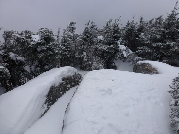
I reached the summit of South Hancock a little before 12:30 and did not stay there long. It was a lot colder up on the ridge and rather than adding a clothing layer that I would soon need to get rid of again, I just decided to keep moving. I took a few photos and I took off along the ridge for the north peak.
|
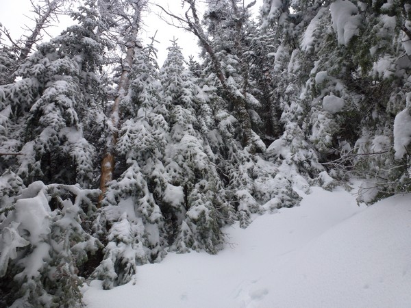
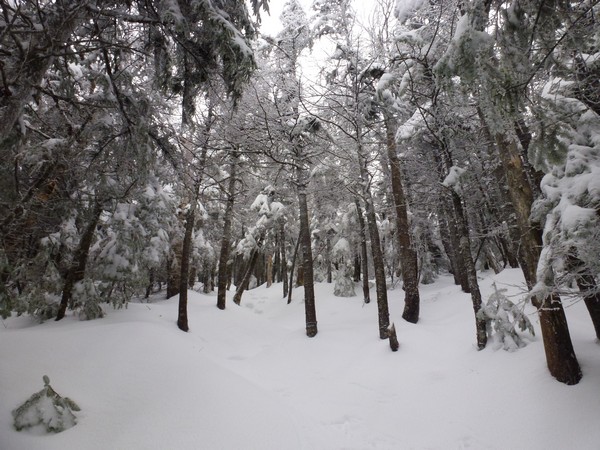
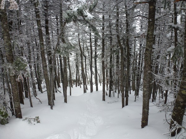
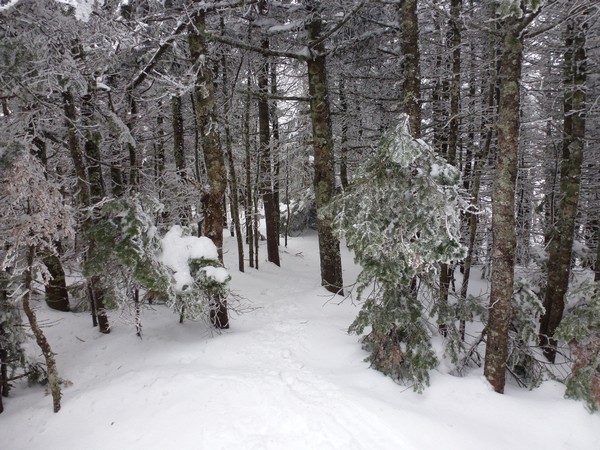
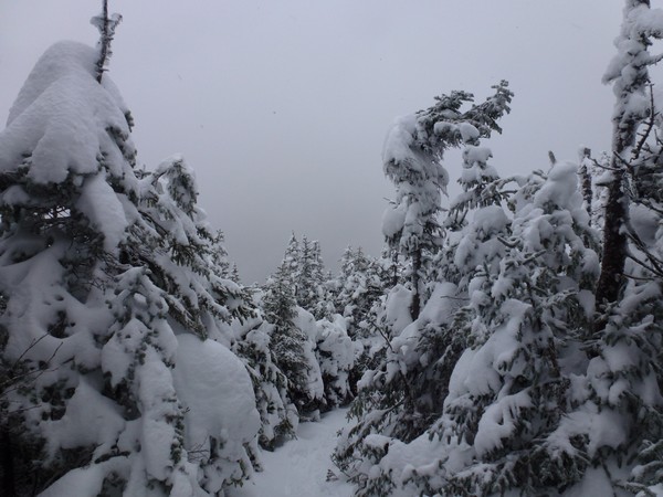
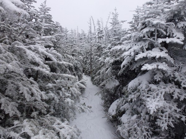
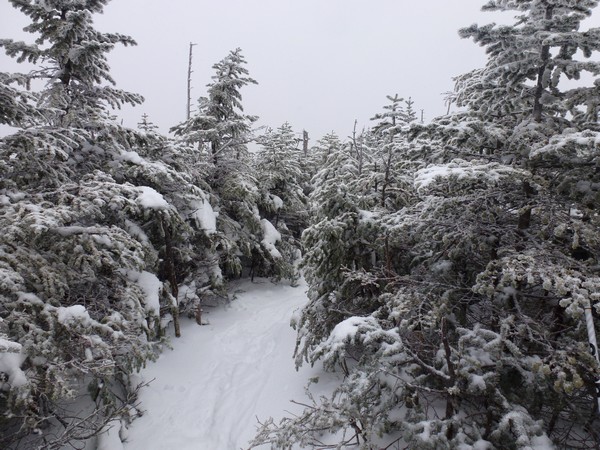
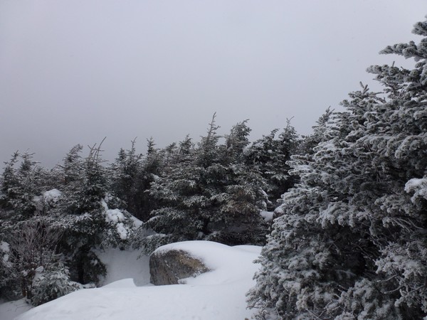
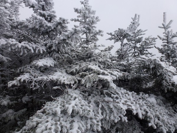
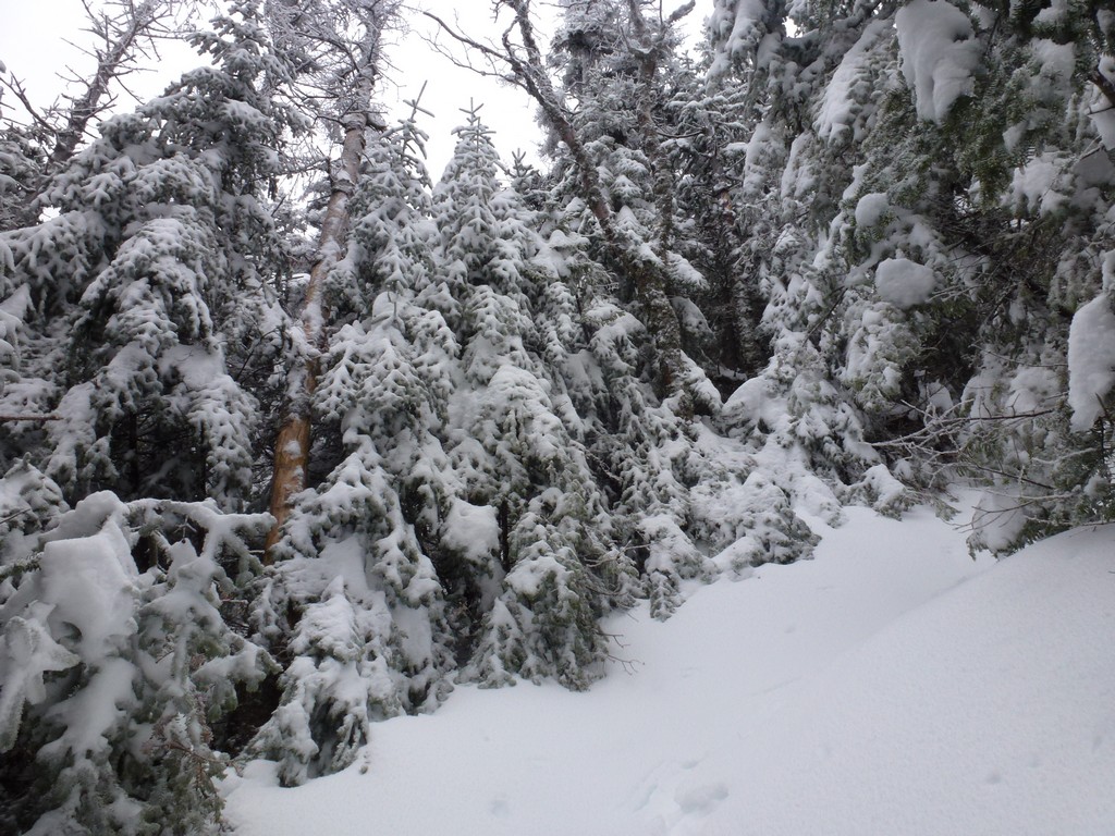
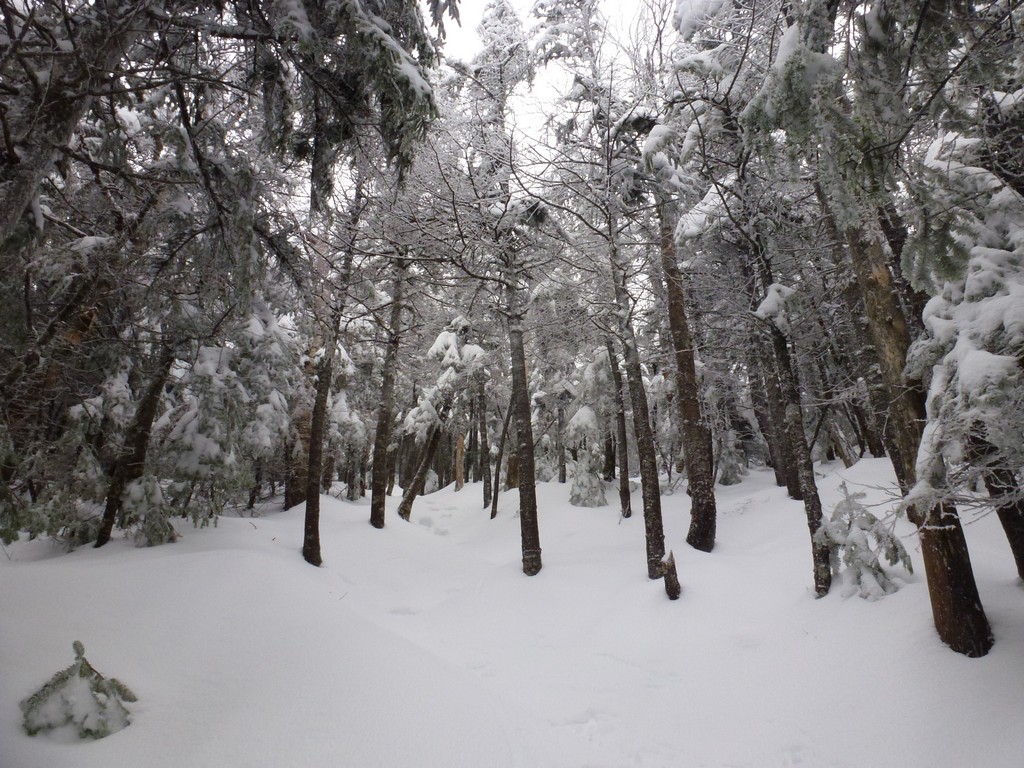
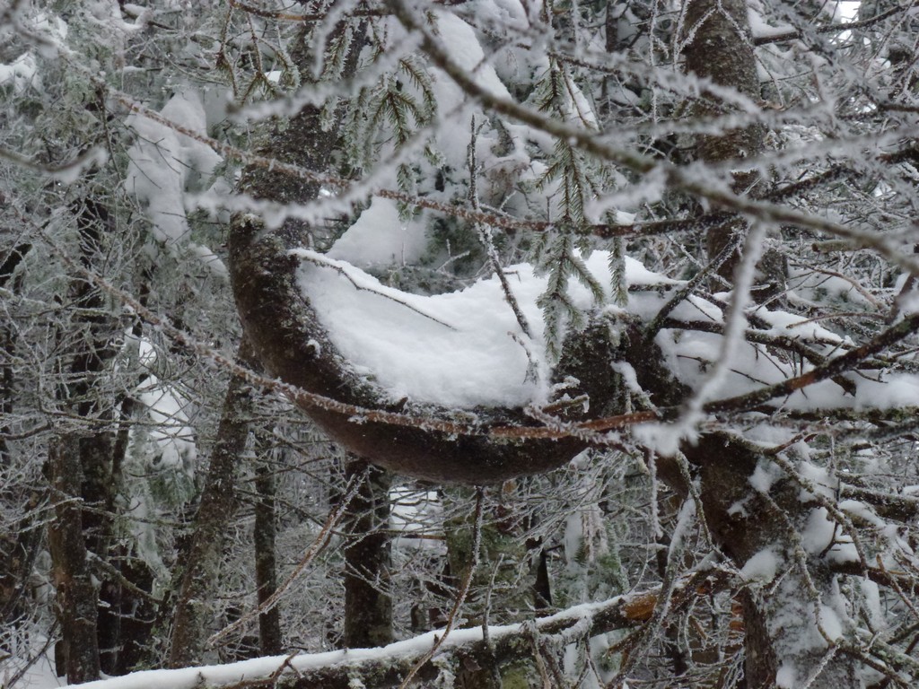
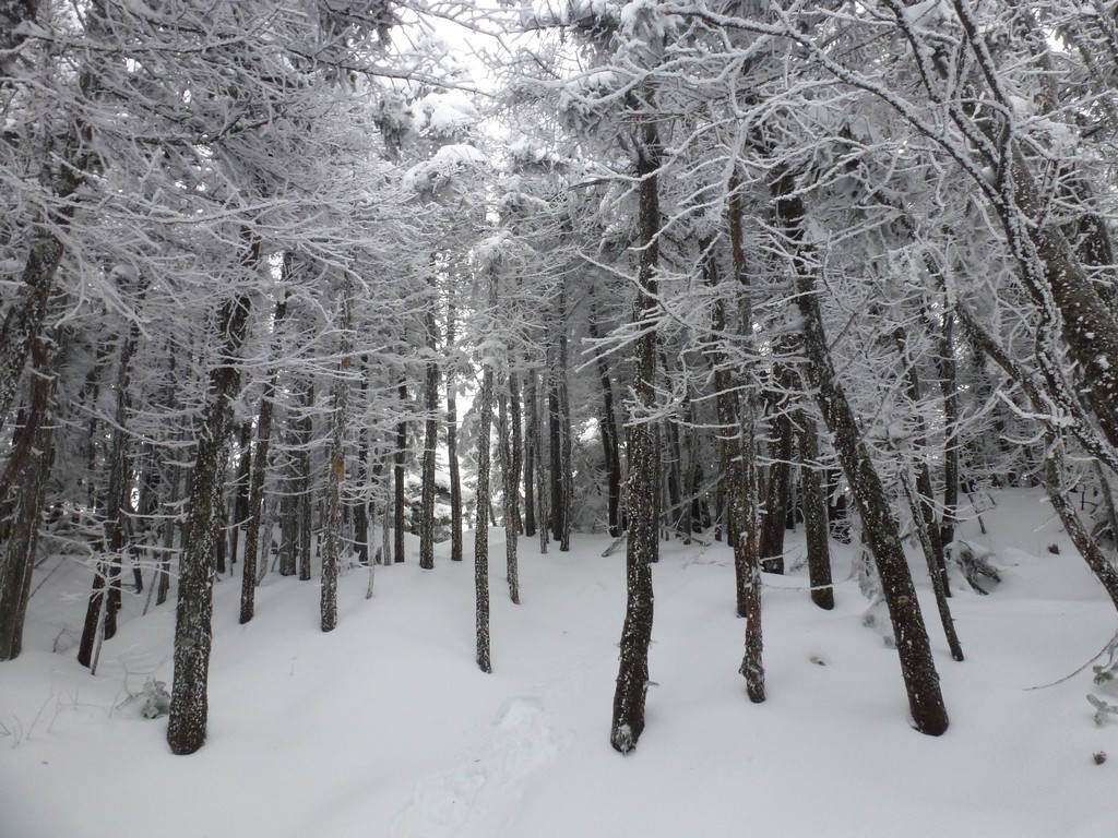
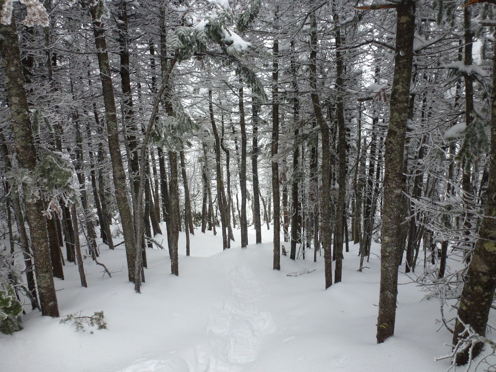
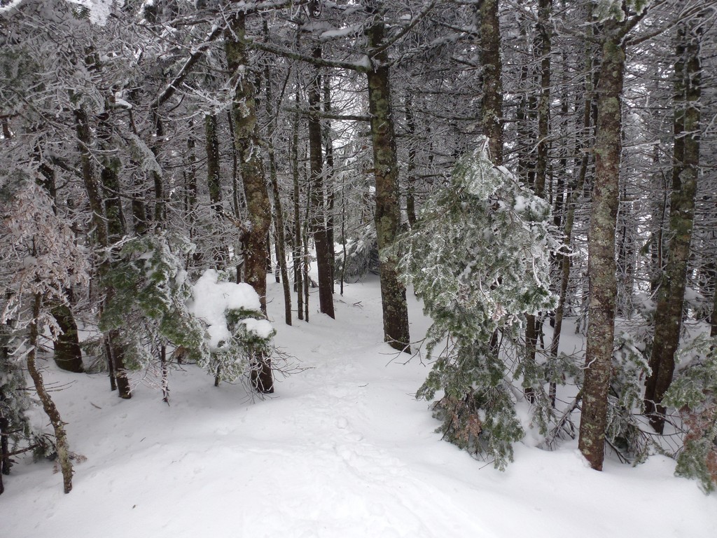
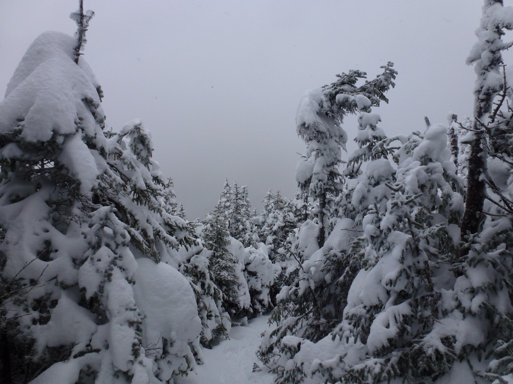
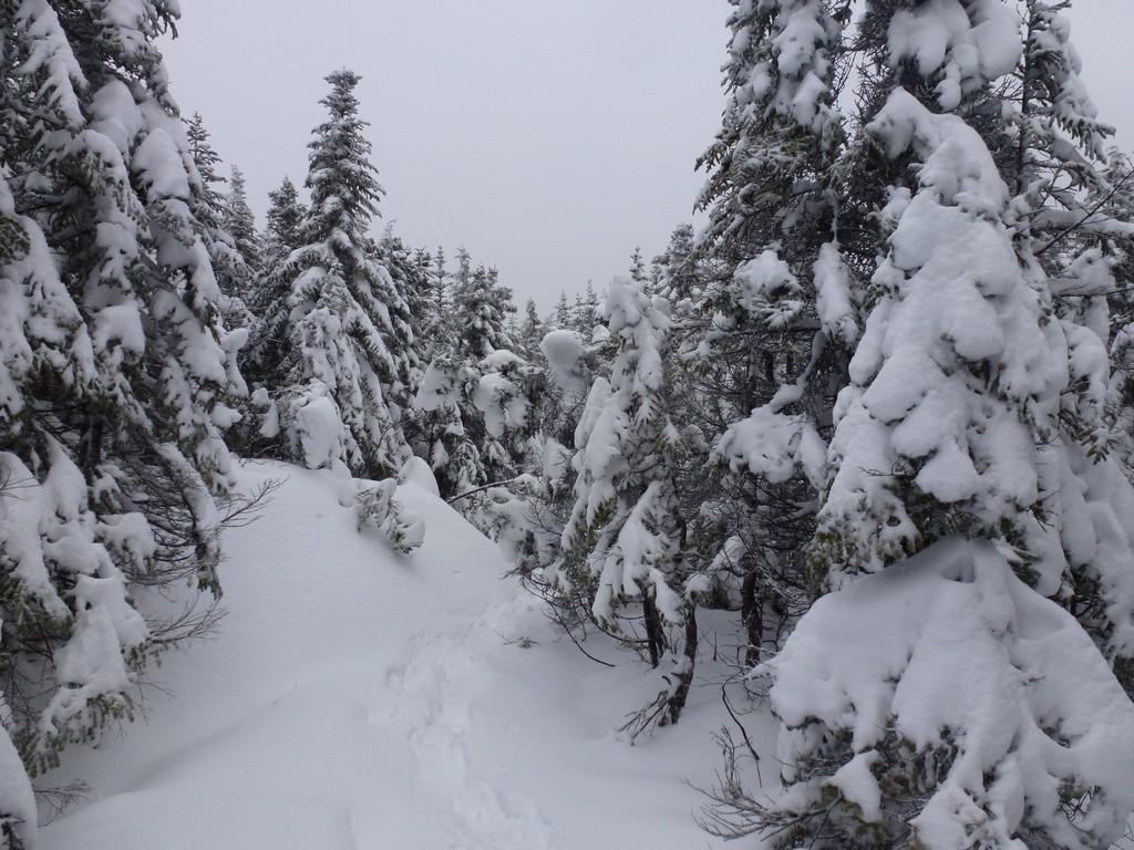
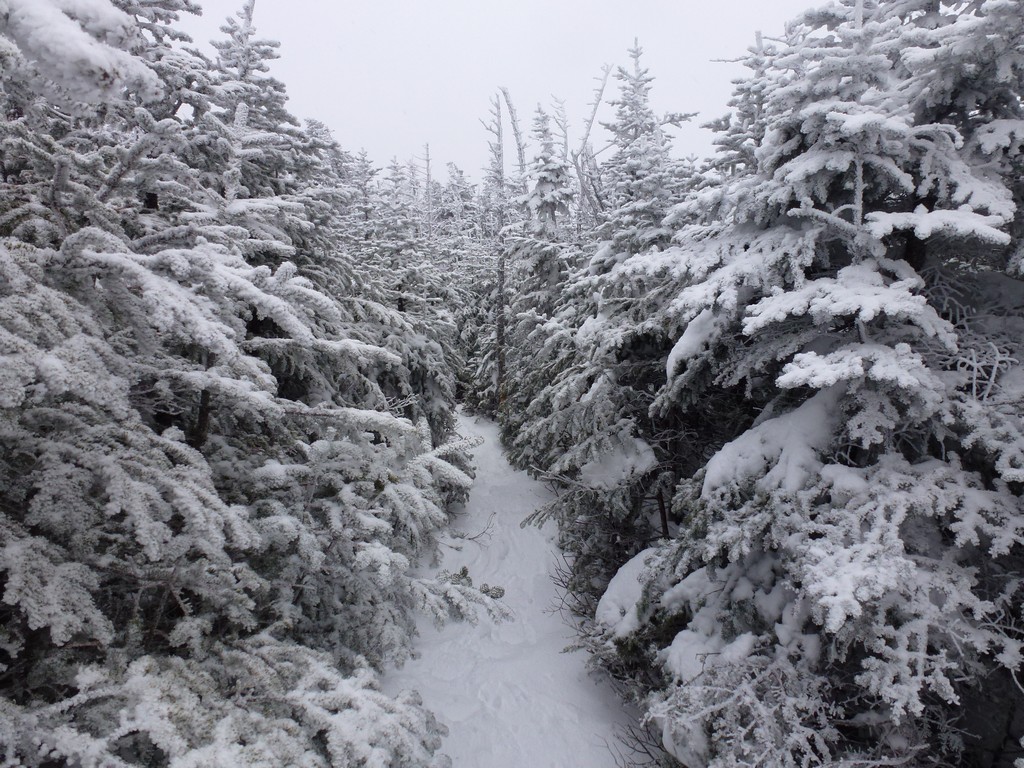
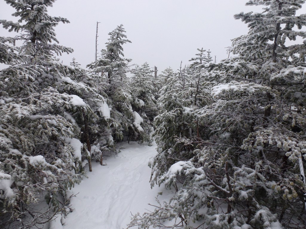
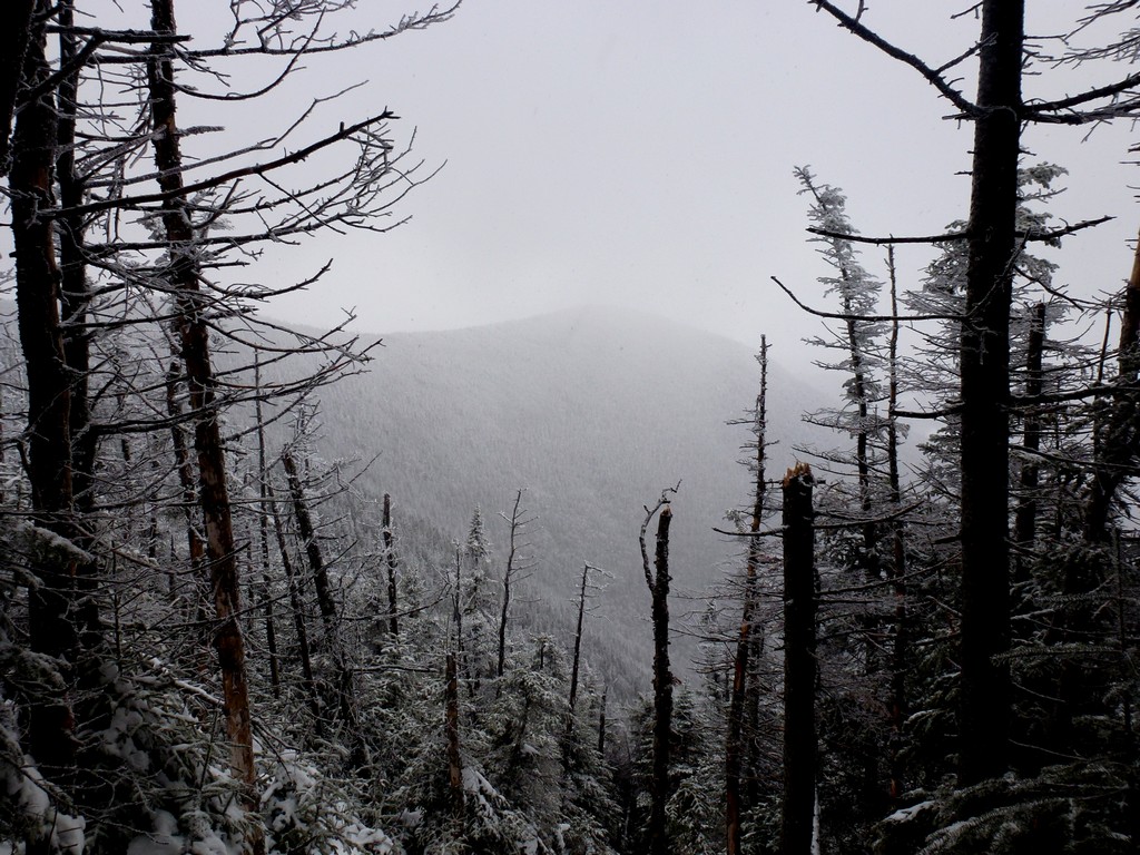
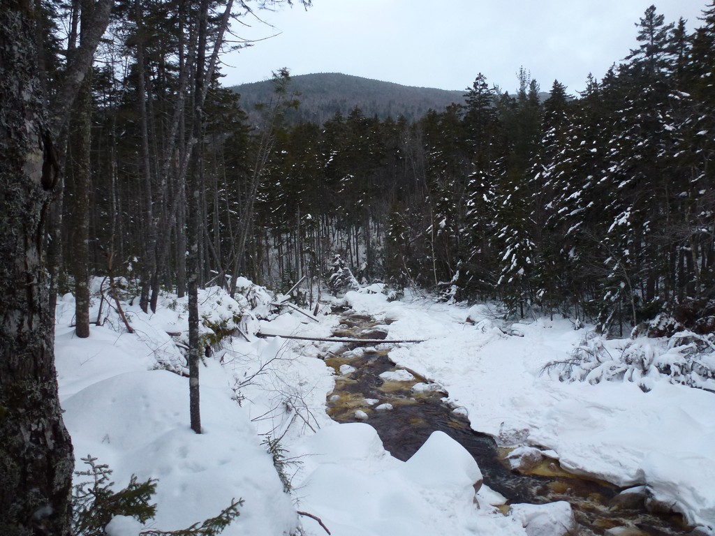
There was lots of snow up on the ridge but the trail was still very well packed. Even though there was only the one other set of snowshoe tracks it was obvious that lots of people had been hiking up there recently. The trees were coated in snow and it was all very beautiful.
|
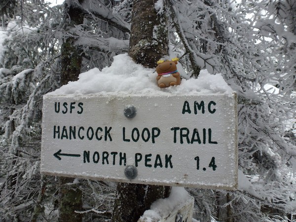
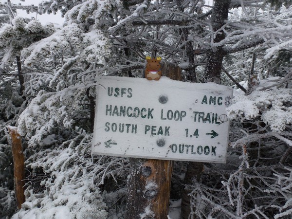
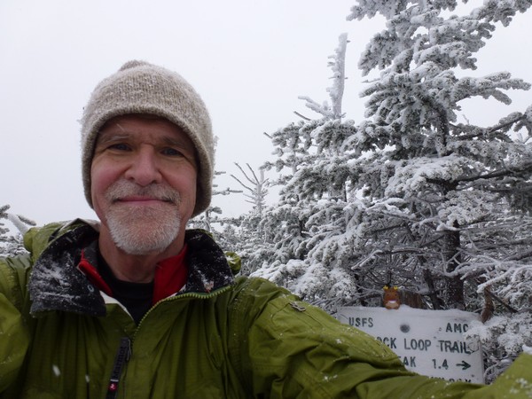
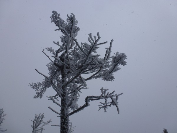
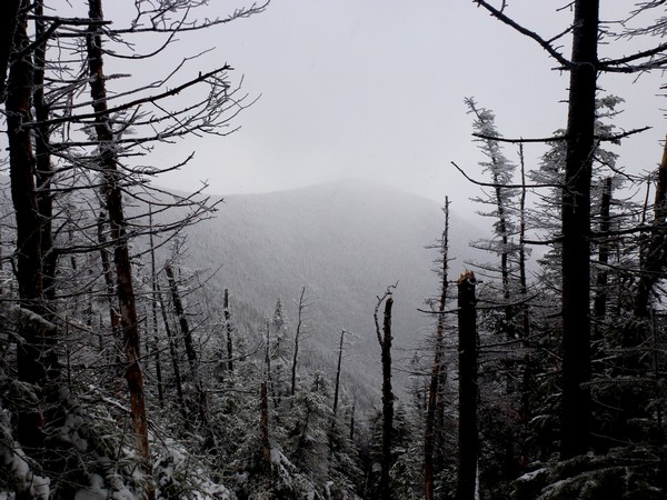
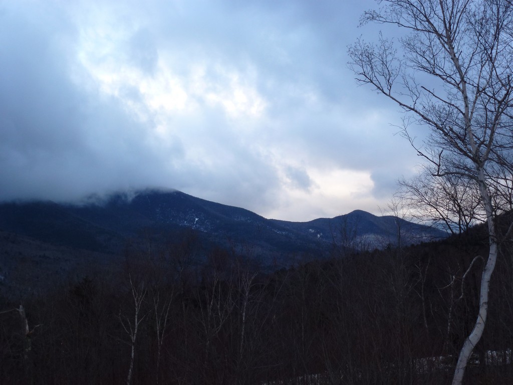
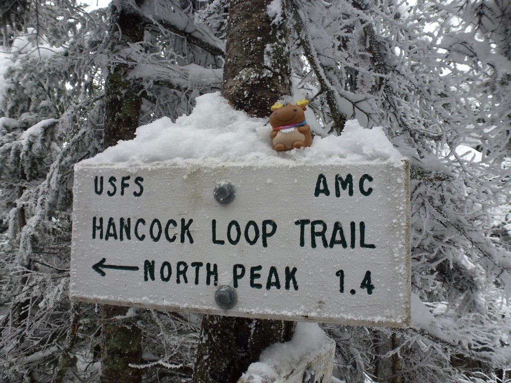
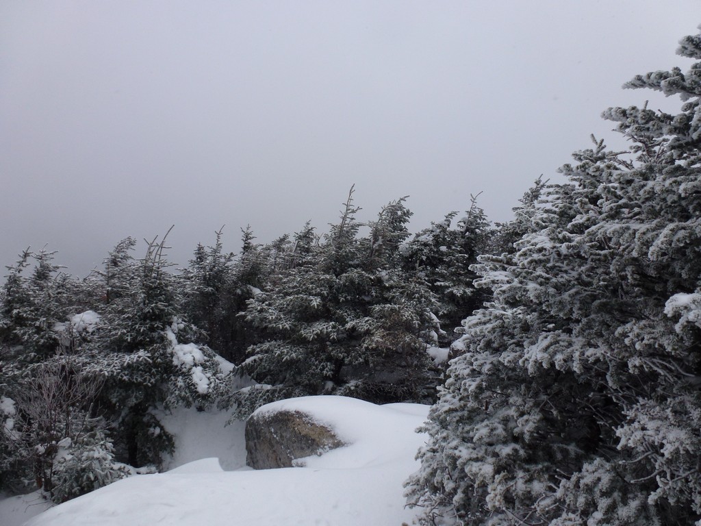
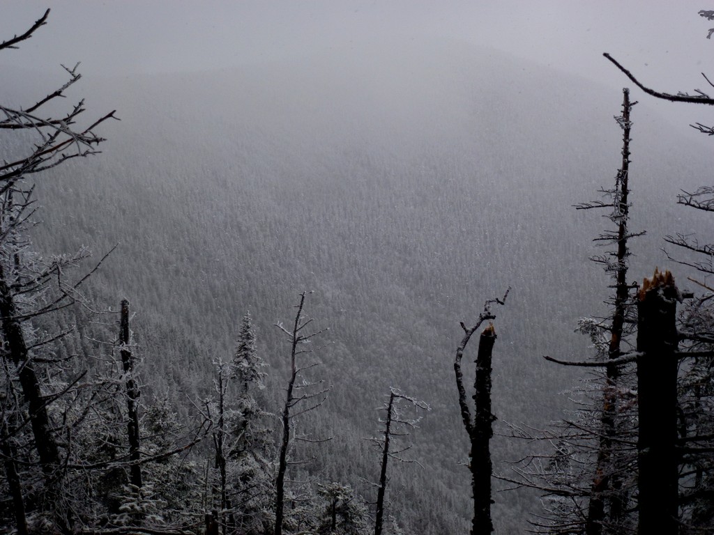
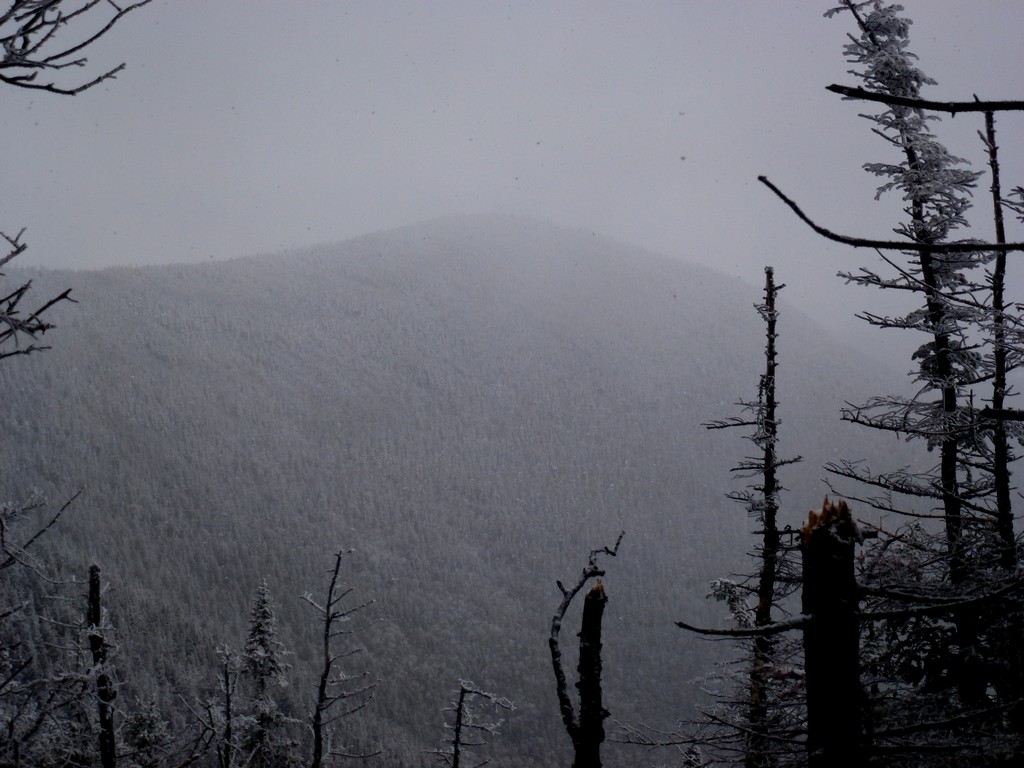
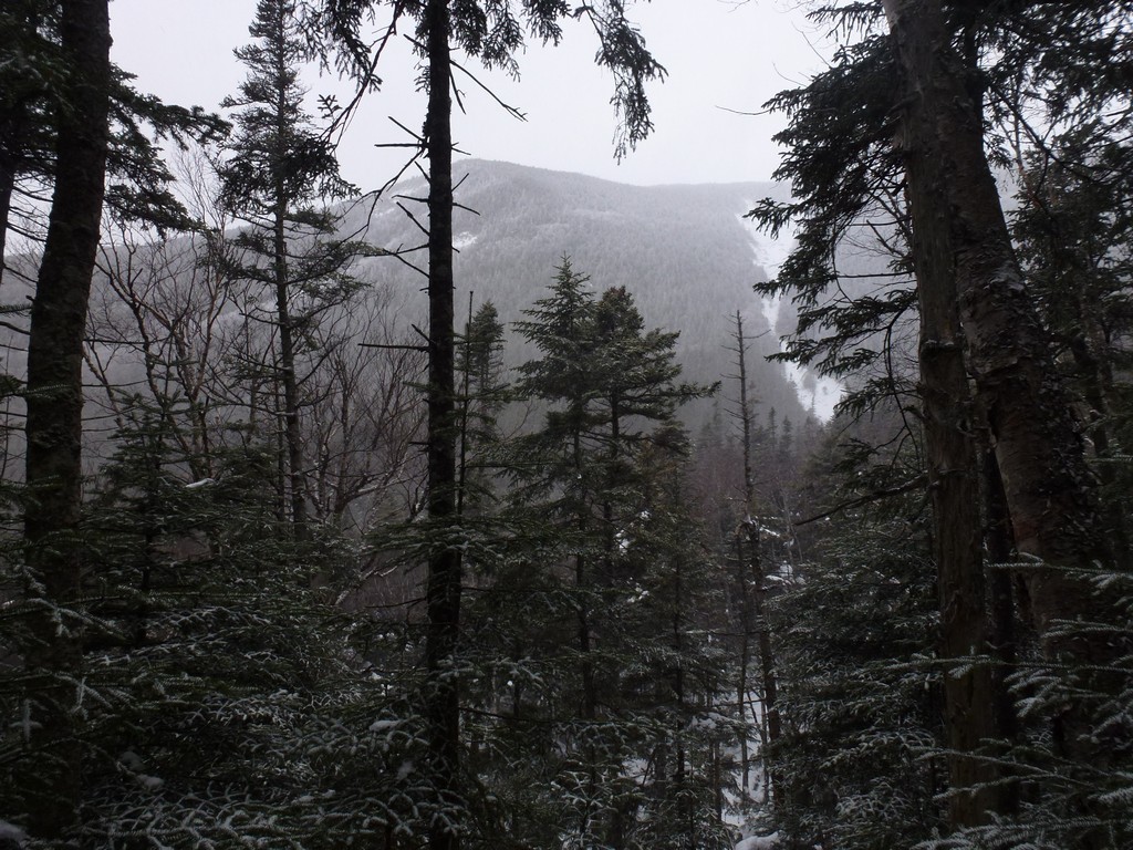
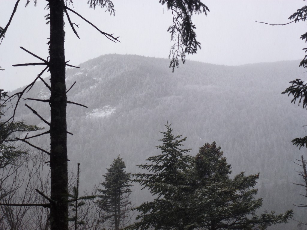
It took just about an hour to cover the 1.4 miles between the south and north peaks and it was still cold do I did not stay long there either. I took some photos at the sign and walked over to check out the view from the overlook and that was it. There really was no view from the overlook as the ridge was surrounded by clouds.
|
The trip down the trail from the north peak was pretty fast. It only took a little more than 30 minutes to get to the bottom of the trail and about 10 minutes more to get back to the Hancock Loop fork.
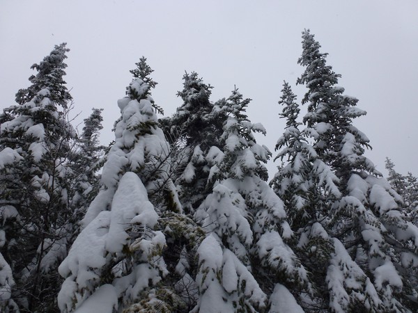
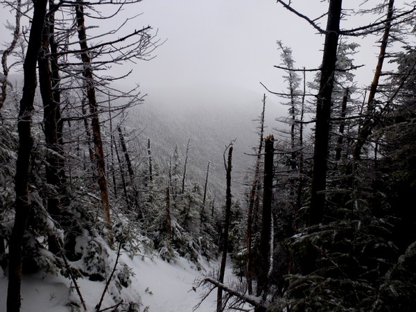
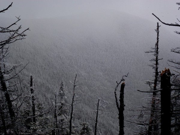
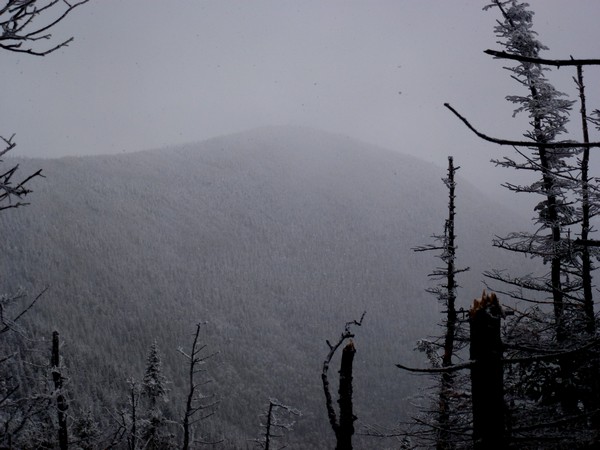
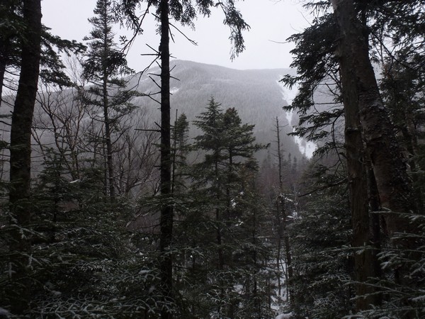
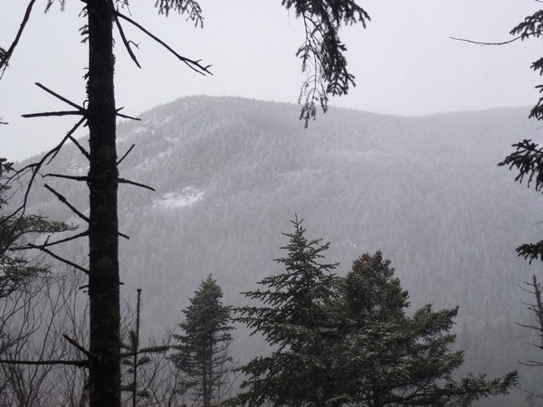
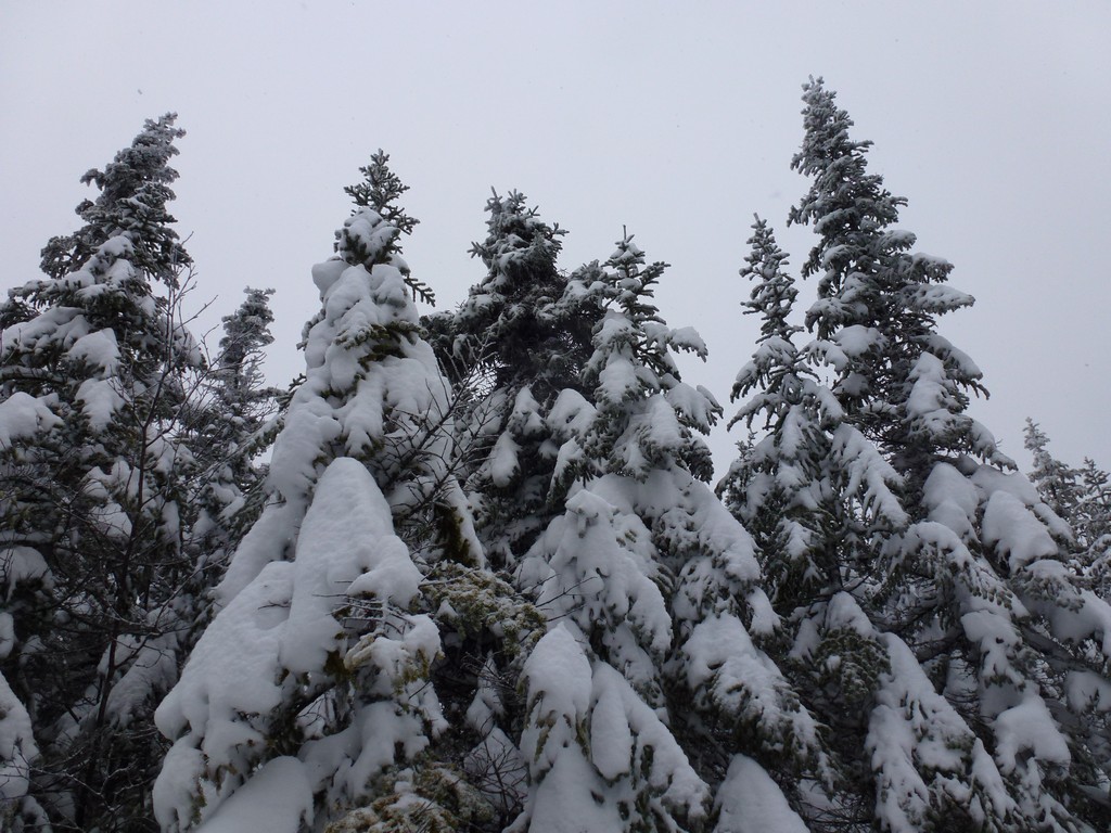
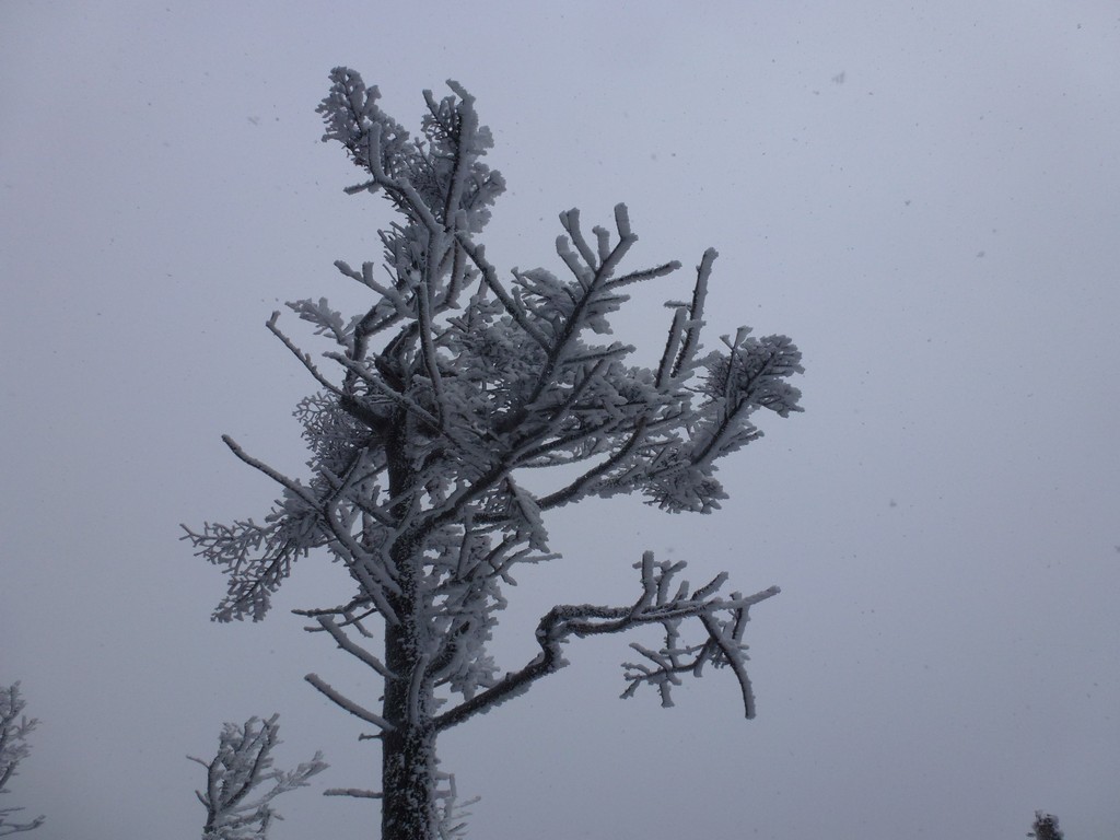
The clouds over the south peak parted for a while and I managed to actually get a few photos of it on the way down which was nice.
|
Shortly after crossing the low spot at the bottom of the trail I noticed that the clouds had cleared a little around the north peak as well so I managed to get some photos of that too.
|
It was just a little past 2:15 when I arrived at the Hancock Loop fork and I knew I was going to be cutting it very close for trying to get back to the parking area before dark. The sun was going to set around 4:15 and by 4:45 it was probably going to be dark and I still had a little more than 3½ miles to go.
I was getting hungry though and really had not had much to eat since breakfast. I did nibble on a little trail mix before leaving the north peak because I was starting to feel hungry then but I really need to stop for a while and eat some more. It was not nearly as cold where I was now so I did take a longer break and gobbled up a bunch of my trail mix and also sucked down about a half quart of water. I was hoping that would give me enough energy to get back to the parking area.
|
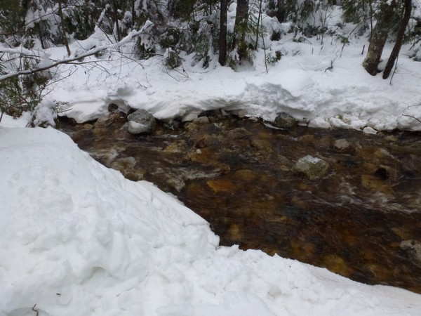
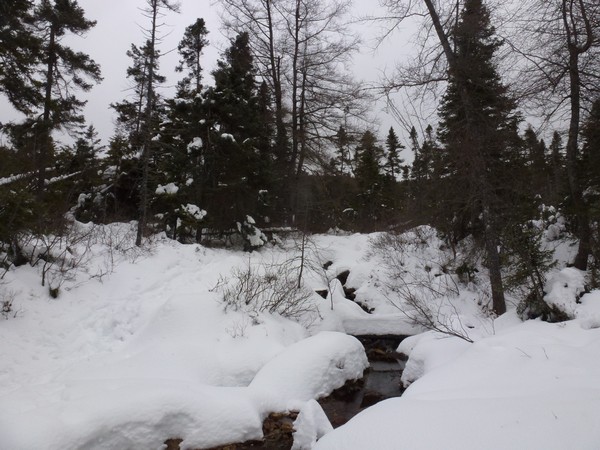
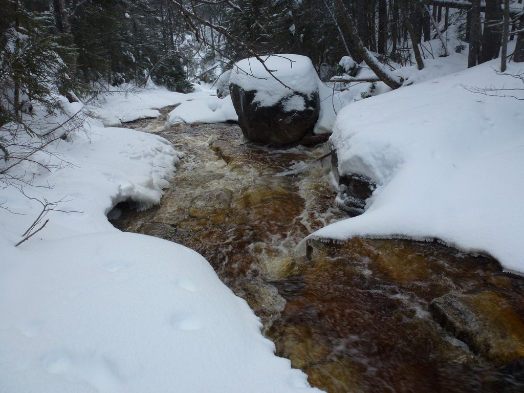
I took the bushwhack all the way back to the slushy crossing of Cedar Brook. On the way in much of my bushwhack was a real bushwhack since I had given up on the real trail because it was flooded and had to cross the brook and look for a way on the other side. I eventually came to what was more or less a real trail because a lot of people had been using it. On the way back I left the main trail and stayed on this trail/bushwhack all the way which bypassed a couple of crossings.
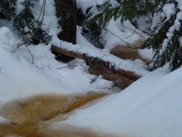
At the slushy crossing I found a log across the brook a little below the messy part and was able to cross uneventfully using that.
|
After that crossing I was back on real trail and heavily used trail and it went a lot faster. I was tempted to stop and take of my snowshoes because this section was very well packed and I really didn't need them. There were also lots of ruts and holes in the snow in places though because so many people had been bare-booting this section and I decided it might just be faster with the snowshoes on.
|
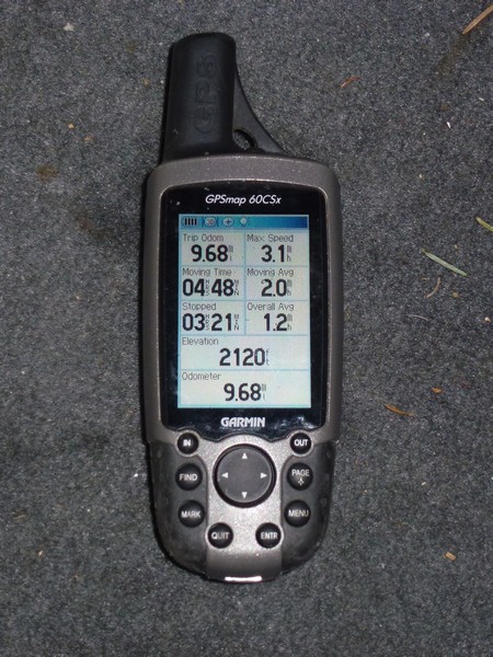
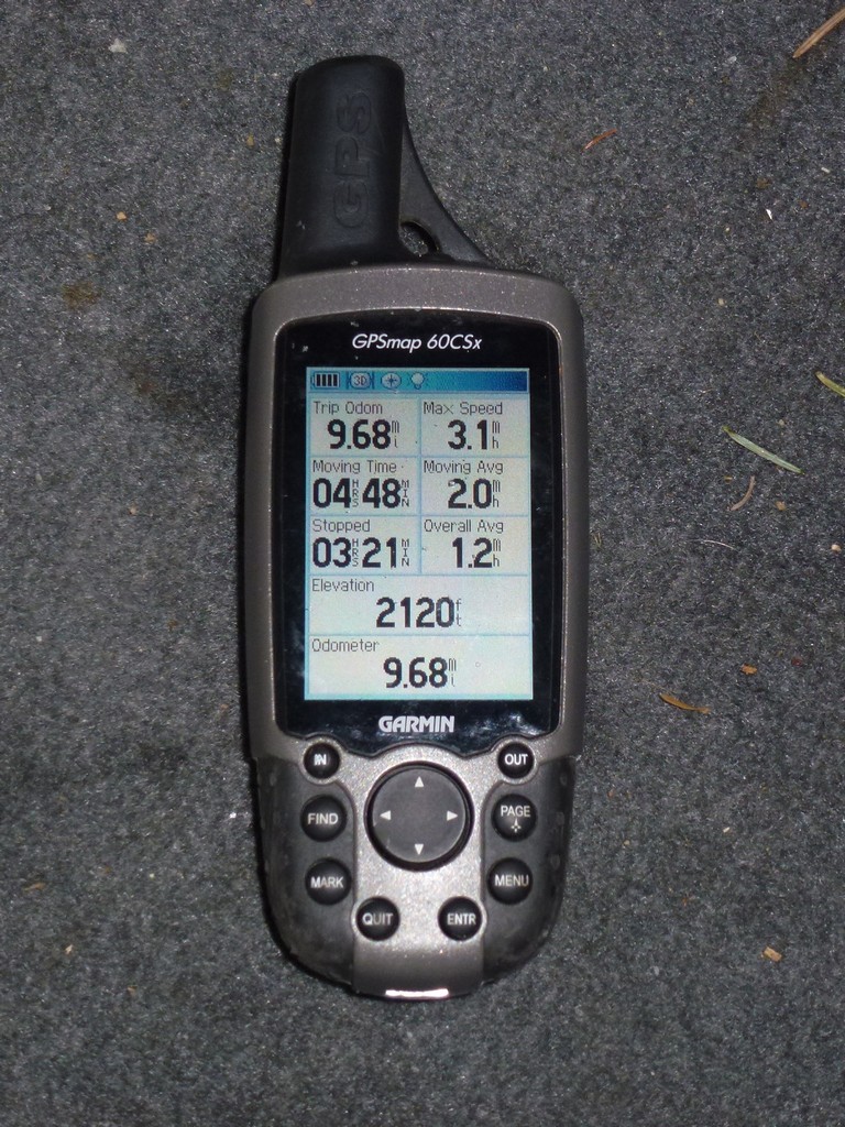
It started to get dark during the last stretch but luckily snowy trails reflect a lot of light even in the dark so I really didn't need to dig the headlamp out. I managed to get back to the car before it was totally dark but by the time I got my gear off and stowed it was dark. I started at 8:40am and finished at 4:45pm. The temperature was 32°F at the start end 21 at the end. I don't know how cold it was on top of the mountain but it felt very cold. The GPS said the total mileage for the trip was 9.68 miles.
|
It felt good to get numbers 23 and 24 on my winter New Hampshire 4000-footer list and to finally be at the halfway point. I had wanted to do the Hancocks on the same day as the Tripyramids at the very end of last season and I am very glad I decided not to attempt that. The trail up and down the Tripyramids was very messy which slowed me down a lot and my boots were soaked by the time I finished. It was already mid-afternoon when I finished that hike and even though I did have another pair of dry socks with me I knew it was just a bad idea.
|
|
|---|
|
|---|


