|
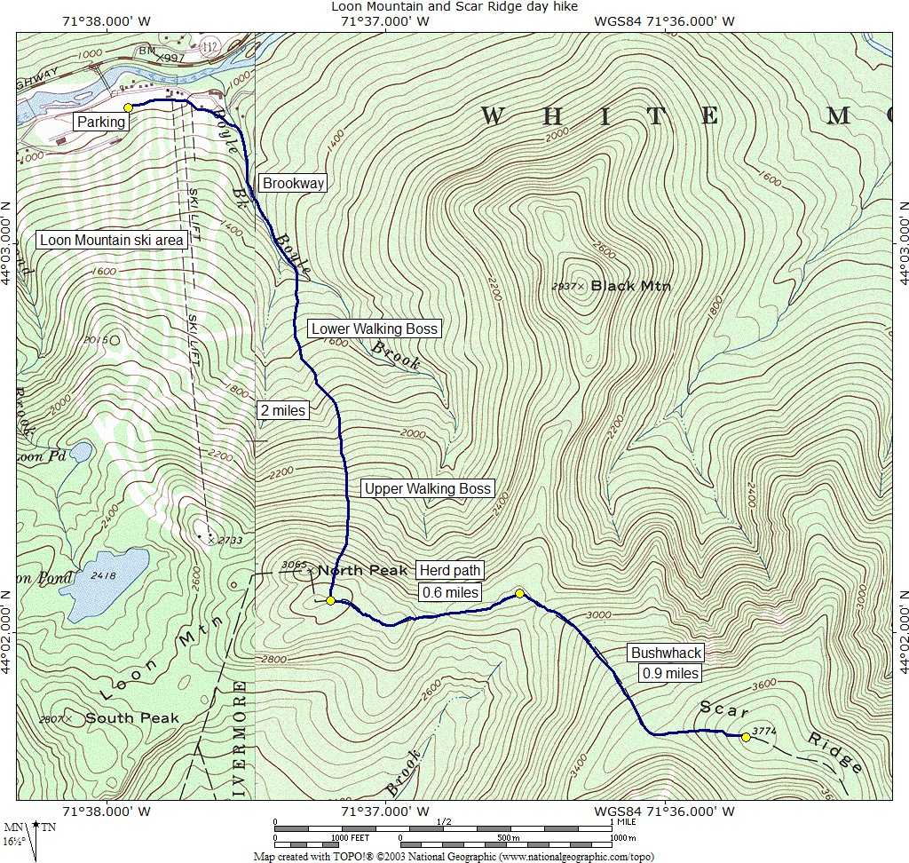
Loon Mountain and Scar Ridge day hike |
|---|
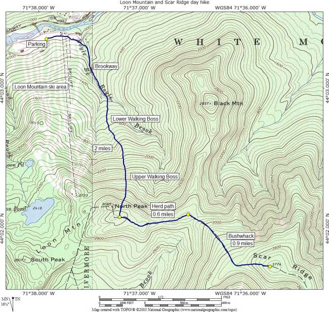
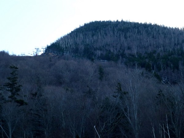
This day hike started at the parking lot for the Loon Mountain Ski Area off of the Kancamagus Highway (New Hampshire Route 112) in the Lincoln, New Hampshire. From the parking lot I took the Brookway ski traiil to the Lower Flume ski trail to the Upper Flume ski trail to the top of Loon Mountain. From there took the herd path to the east towards Scar Ridge and the start of the bushwhack. The actual bushwhack starts close to (just before you get to) another ridge that joins Loon Mountain and Scar Ridge to Black Mountain. For the return I tried to trace my track through the bushwhack as close as possible and then from the top of Loon Mountain I descended using the Upper Walking Boss and Lower Walking Boss ski trails back to Brookway and finally the parking lot.
|
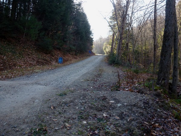
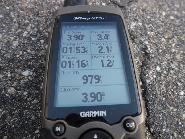
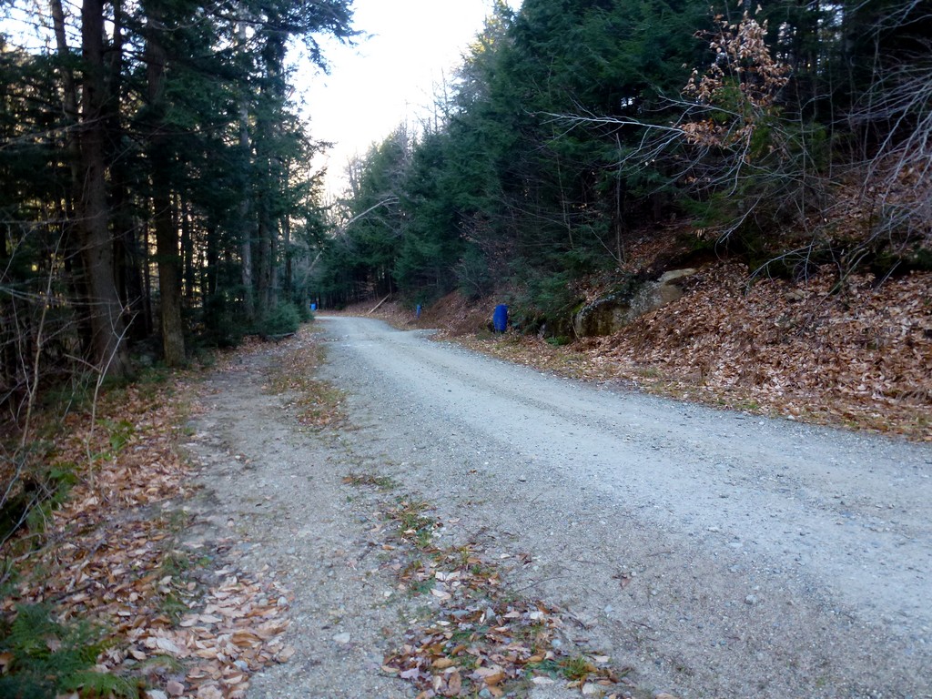
This day hike started at the parking lot for the Loon Mountain Ski Area off of the Kancamagus Highway (NH Route 112) just a few miles east of Lincoln, New Hampshire. Scar Ridge would be number 65 on my New England Hundred Highest list. I arrived at the parking a little after 9:00 and started hiking right away. I ended up taking the long way to get to the start of the Brookway ski trail and found a much shorter way to get back to the parking lot on my way down.
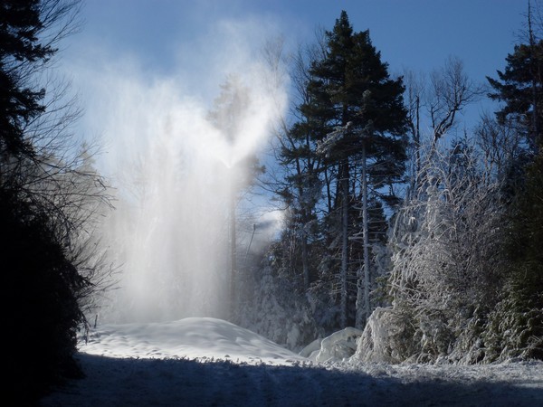
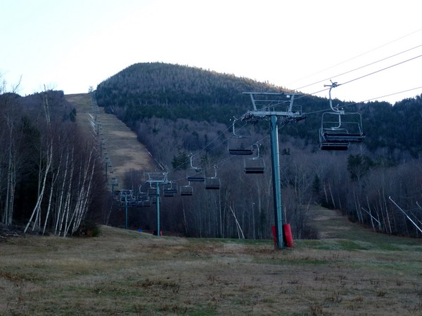
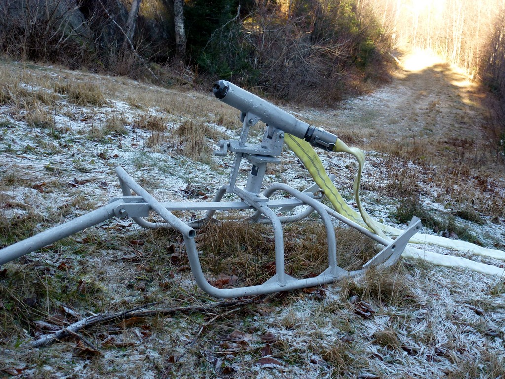
I was very lucky that there was no snow on any of the ski trails that I used for this hike as there was a lot of snow making going on at the ski area. All of the snow guys were poised for action and I suspect they did start making snow on these trails the night after my hike or maybe the following day. I noticed some guys working on some of the snow guns on my way down.
|
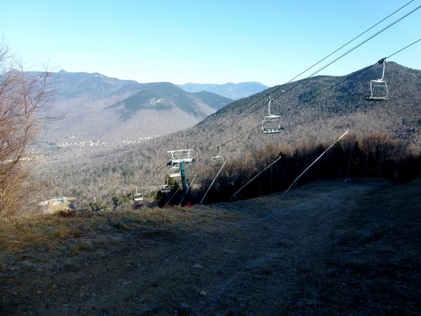
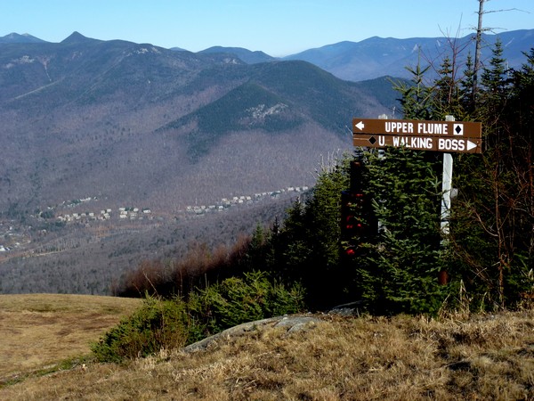
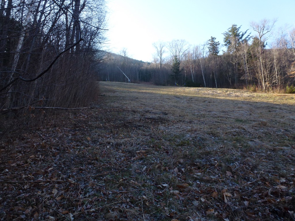
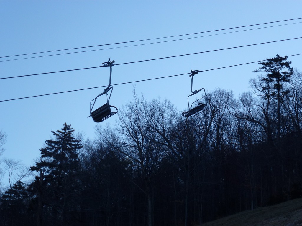
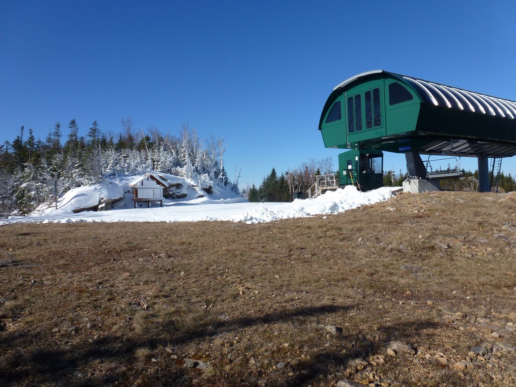
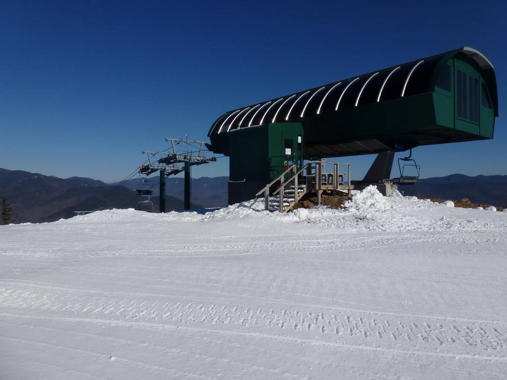
At the end of the Brookway I reached the base station for a ski lift and just started up the ski trail that was right in front of me. I just assumed this was Lower Walking Boss but there were no signs. All of the signs for the ski trails are at the TOP of the trails since people come down them and don't typically go up. As it turns out this was not Lower Walking Boss but rather Lower Flume which took me to Upper Flume and not Upper Walking Boss. I ended up at the same point on top of Loon Mountain since both sets of trails converge up there but the Lower and Upper Flume are both black diamond trails and very steep
|
I made a slight detour at the top of Lower Flume, looking for a less steep way up to the top of the mountain, but I ran into snow making and had to turn back.
|
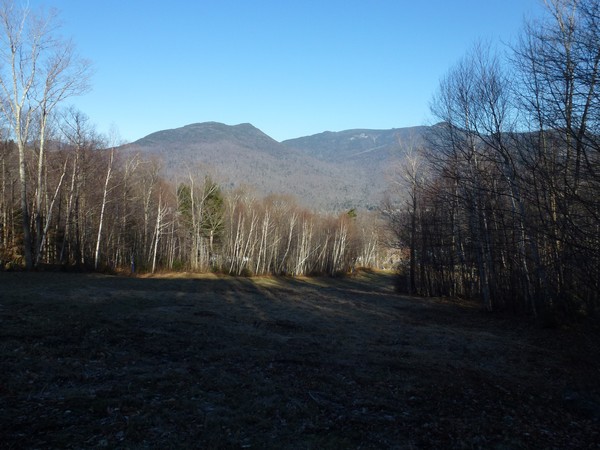
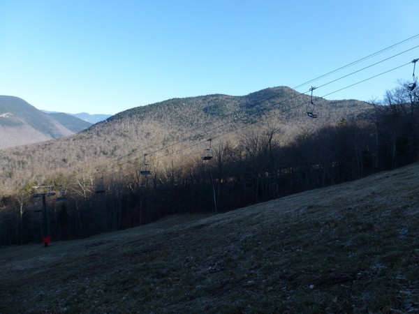
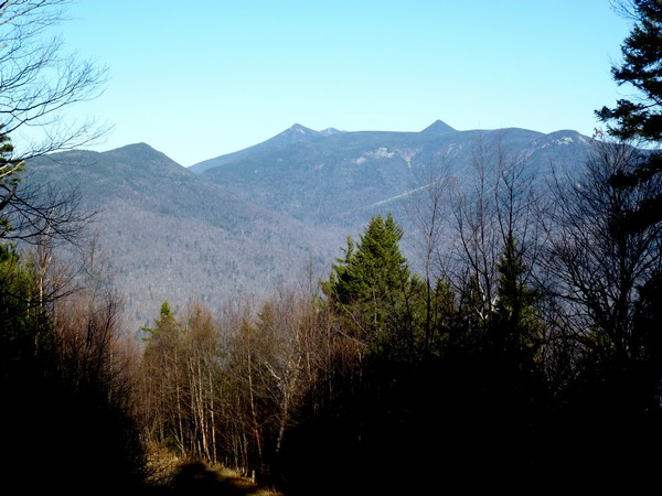
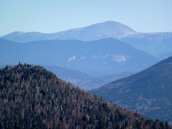
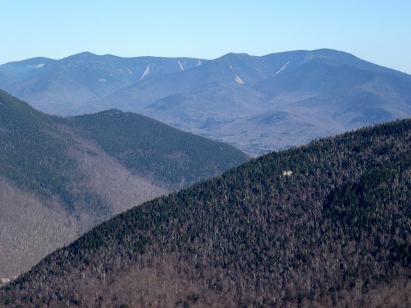
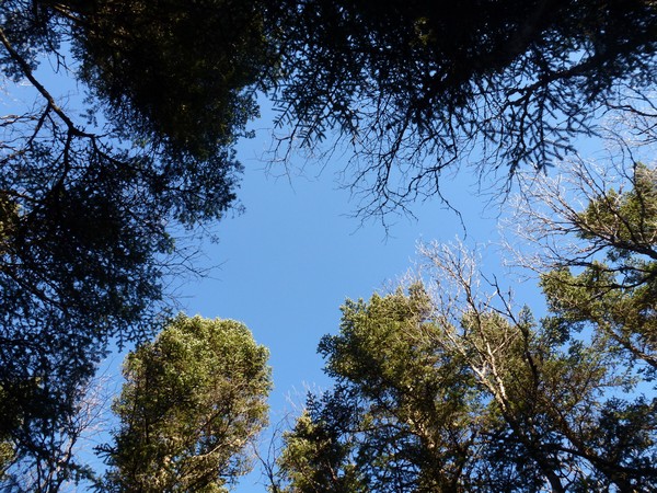
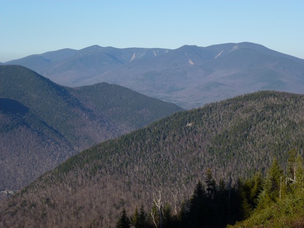
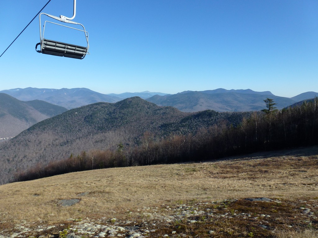
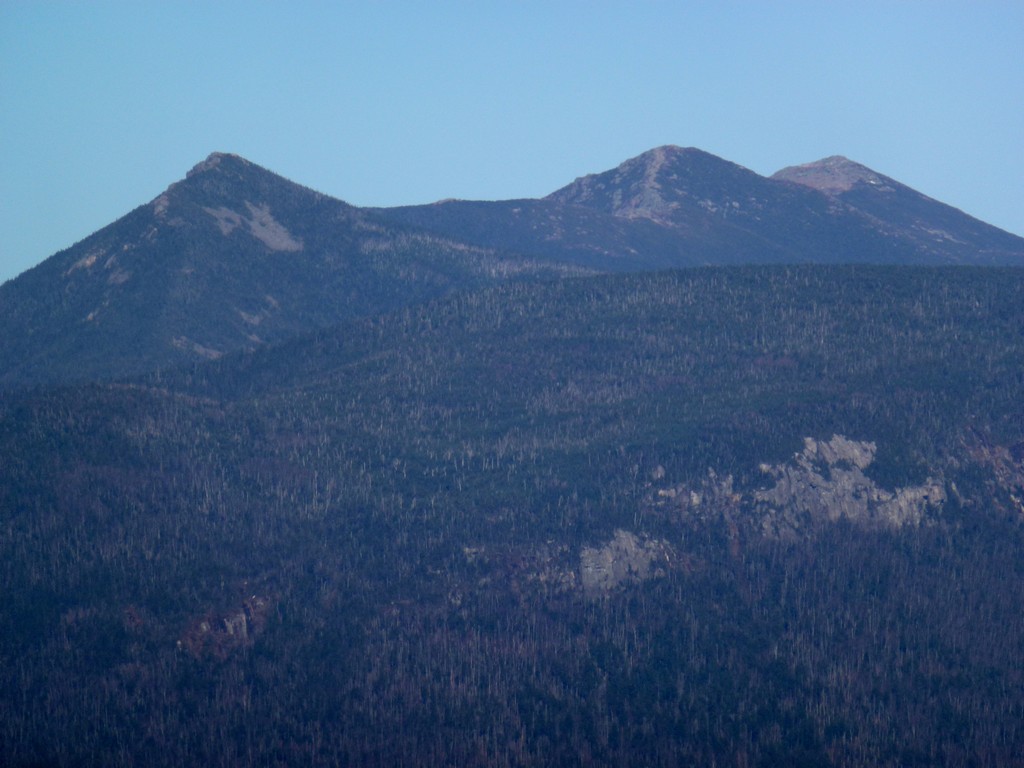
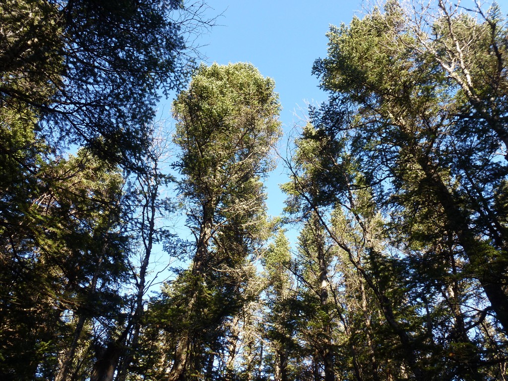
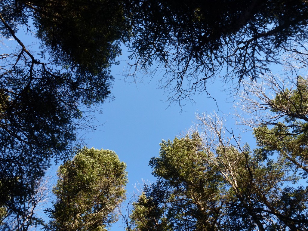
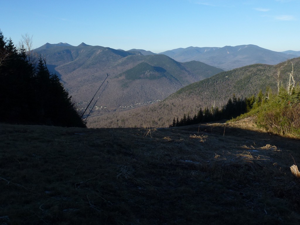
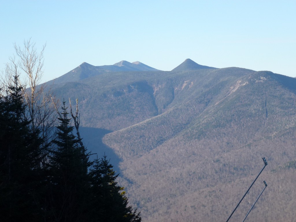
I walked back to the junction with Lower and Upper Flume and continued the steep climb to the top of Loon Mountain. The views of Franconia Ridge and the mountains to the north from the ski slopes were incredible and I had to stop several times to take in the view... and catch my breath.
|
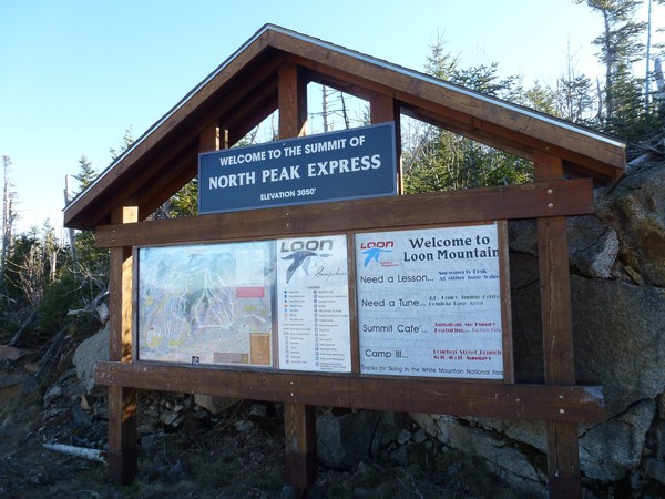
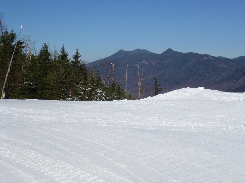
When I got to the top of Loon Mountain there was snow making going on up there too. Luckily none of the snow guns were going though. I decided against actually going to the summit of Loon Mountain since it would have meant walking through snow to get there.
|
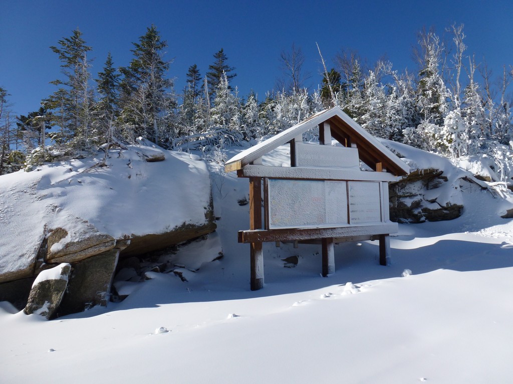
After taking some photos I started looking for the cairn and "out of bounds" sign start marked the start of the herd path and bushwhack. It was not right at the top of the convergence and I had to walk back down Upper Walking Boss a little ways to find it. It was very obvious though.
|
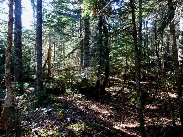
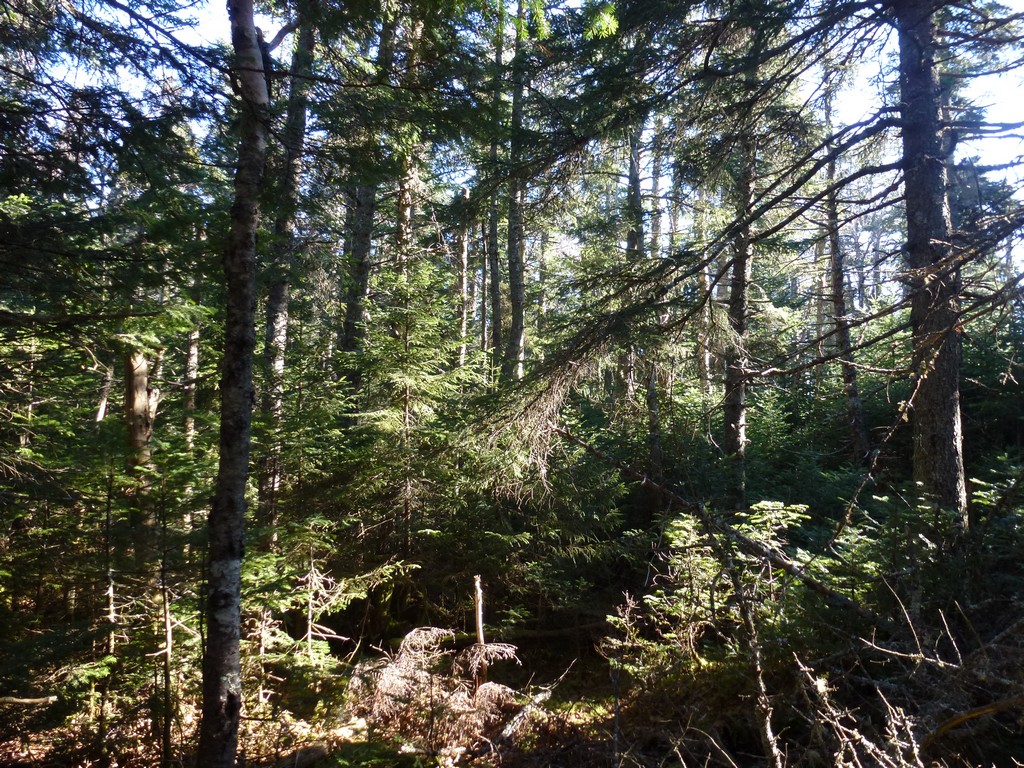
The herd path portion of the bushwhack was very easy to follow and it was actually much better than some trails I have seen in the Whites. I missed the turn for the start of the actual bushwhack, if there is an actual start, because I just stayed on the herd path. When I noticed it starting to turn towards the north, towards Black Mountain, I knew something was wrong. I had noticed a faint path heading off on my right at one point so I turned around and headed back to that. When I got there it seemed to be heading in the right direction and I confirmed this with the compass.
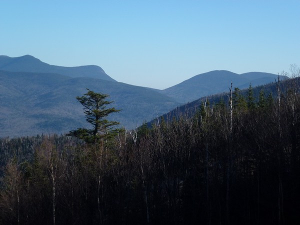
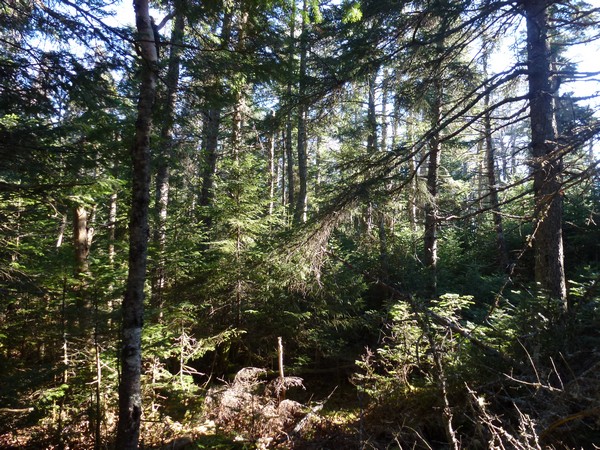
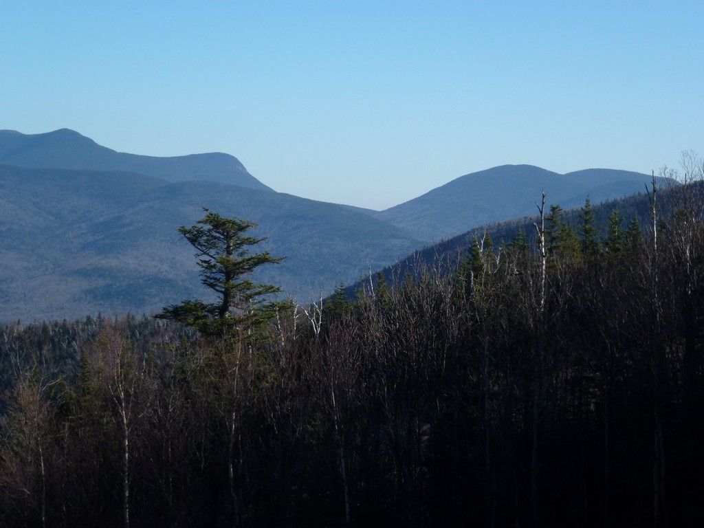
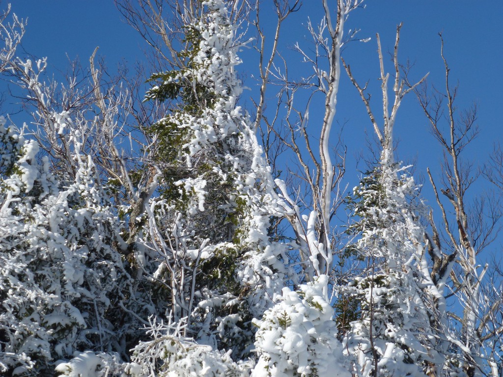
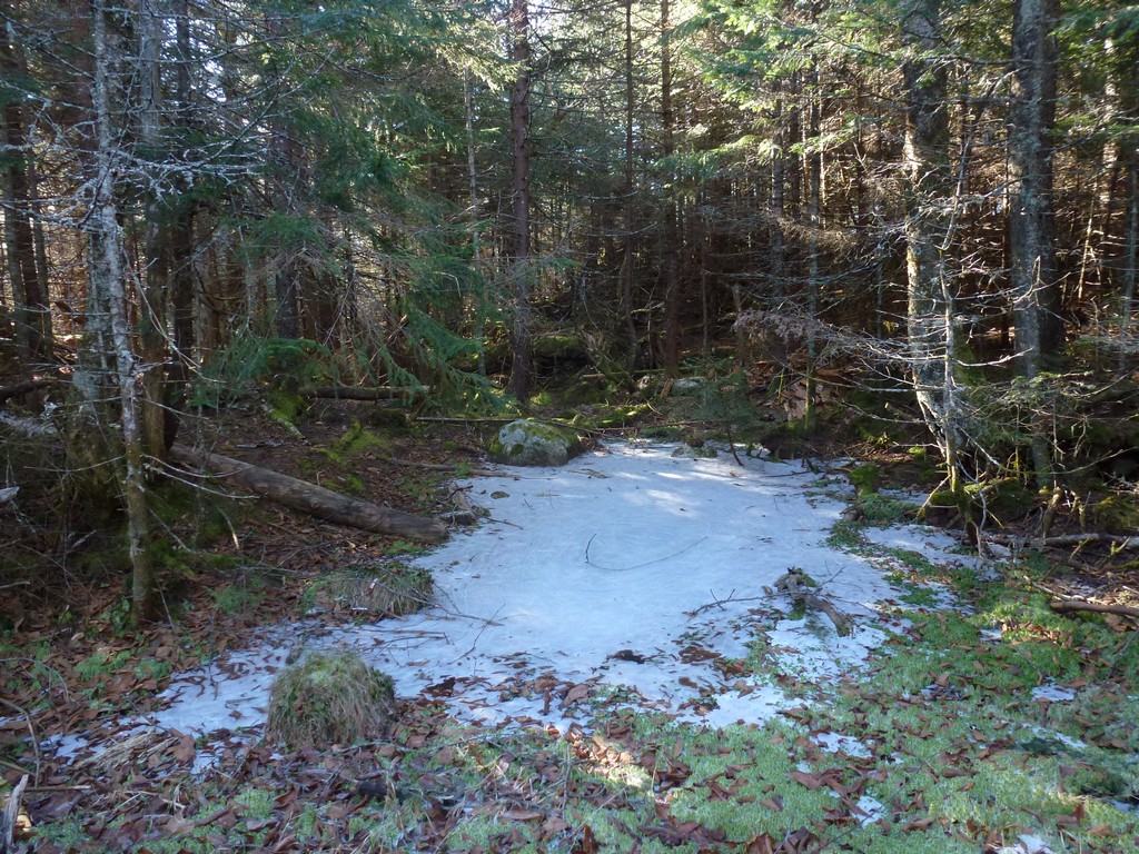
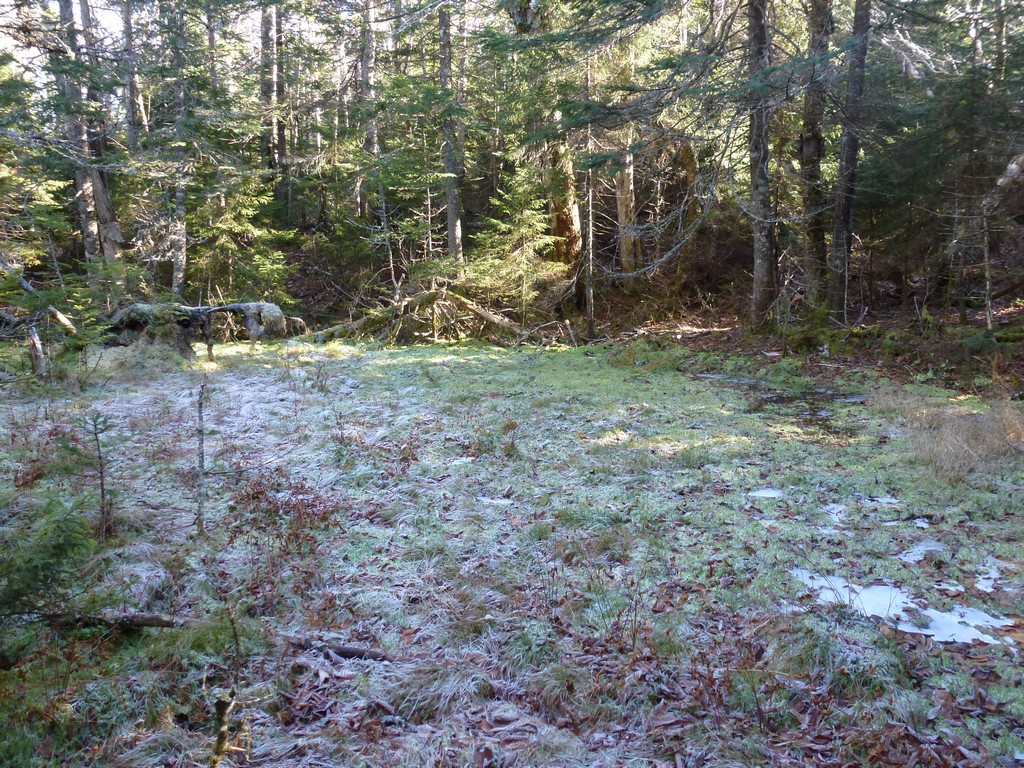
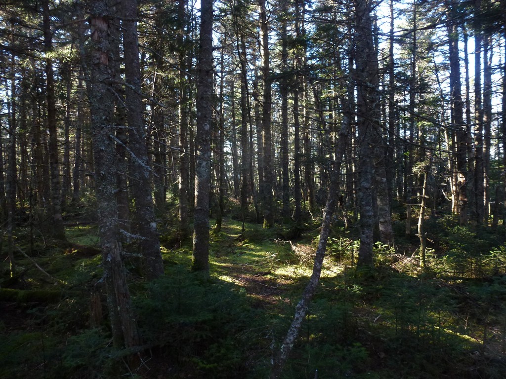
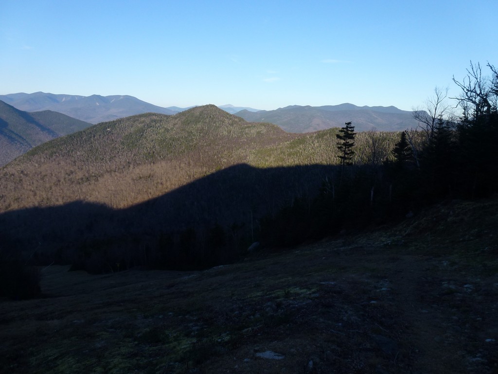
There was a path of sorts leaving the herd path and this continued a short distance into the forest before fading away into nothingness. At that point I was left just using the compass to find my way to a series of waypoint that I had set in my GPS. All of these were set directly on the ridgeline since that was supposed to be the easiest and least bushwhacky of the various routes to get to Scar Ridge. It was pretty easy to stay on the ridge for the most part since that was the highest point but sometimes I had to detour around denser patches of vegetation and blow downs and then make my way back up to the ridge. At other times when you couldn't see the highpoint ahead it was a little hard to tell where the ridge actually was.
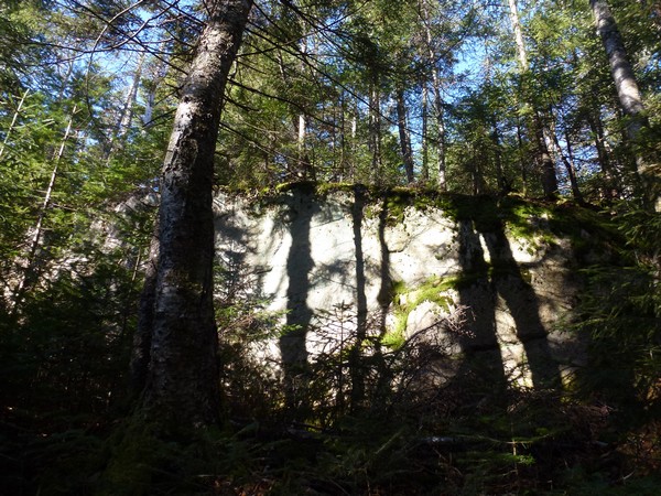
I encountered some low cliffs on the other side of the high point where the bushwhack started. I think this is where I lost the "path" I was following as it led me to the cliff and just ended there. It did not look easy to climb down these things so I headed northeast along the top to the first break I found that would allow me to get lower down. There was no path at that point and it was truly a bushwhack.
|
Beyond the cliffs I was at the low point on the northwest side of Scar Ridge and it was all uphill from there. This was a damp and boggy area but a lot of the wet spots were starting to freeze over which made getting through them now a little easier than it would be if they had not been.
|
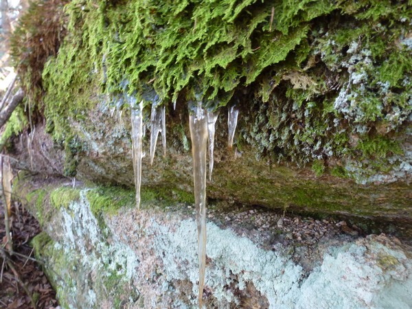
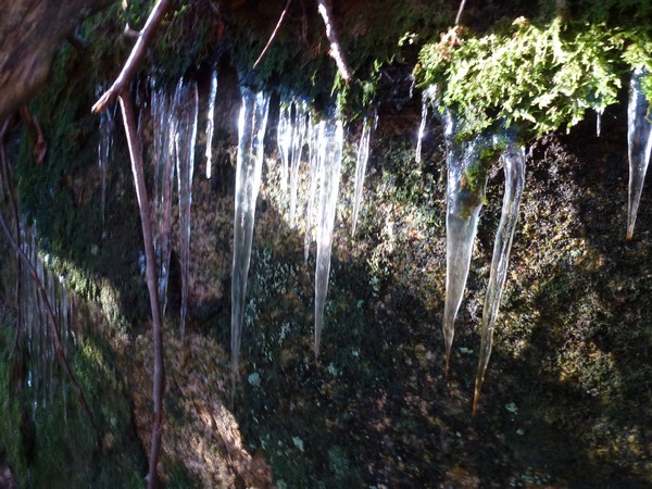
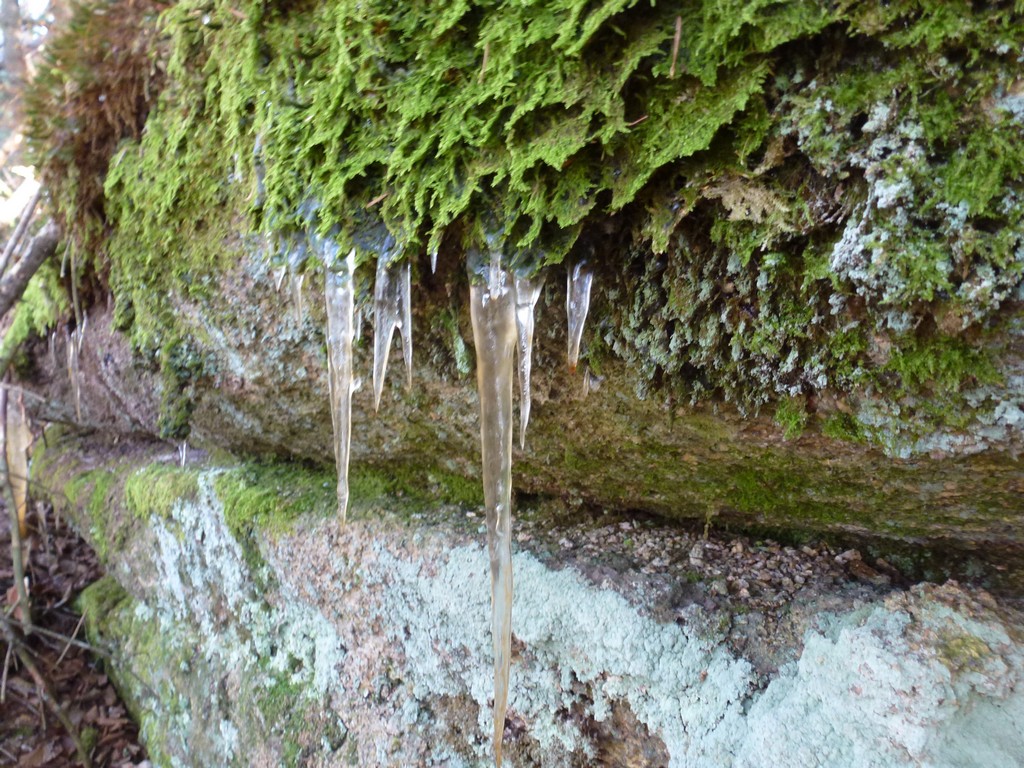
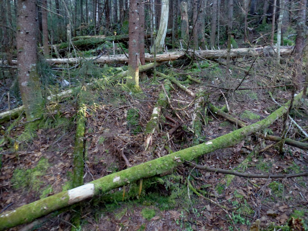
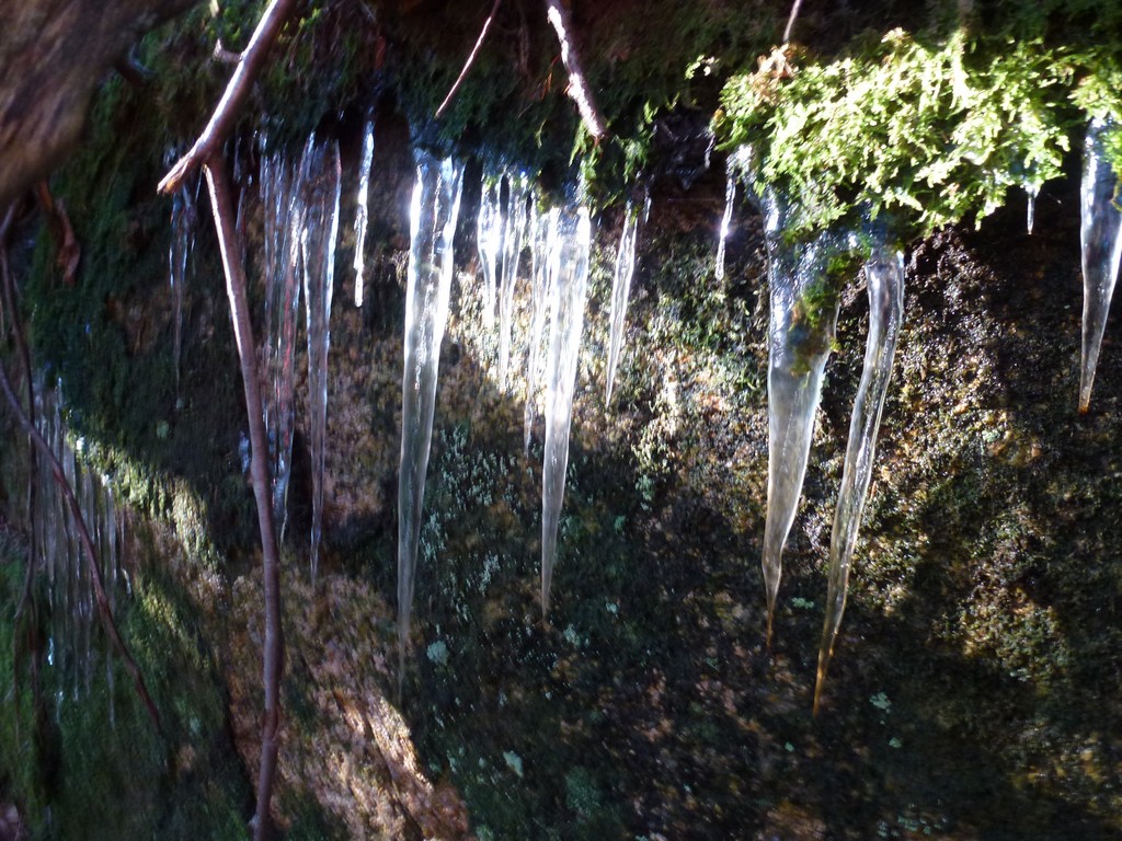
There were even some icicles on the cliffs where the springs were. I really did not encounter much in the way of blow downs, at least not complicated ones, as I was heading up the slope. There were lots of downed trees but most were just one or two together and not the big piles with cross-crossing logs. There were a few bigger patches higher up that were a little difficult to go around and for a couple of these I did manage to just go over them carefully stepping from one tree to the next.
|
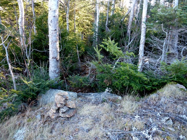
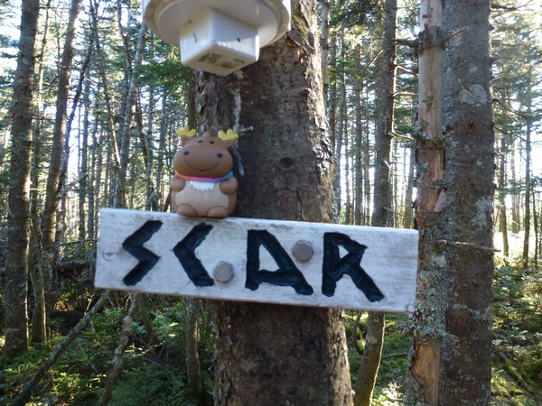
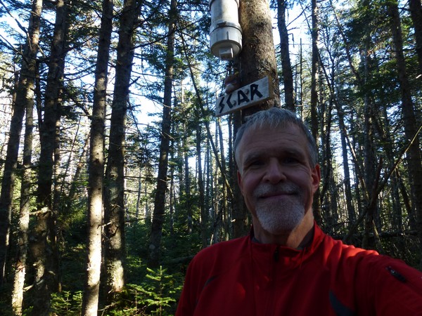
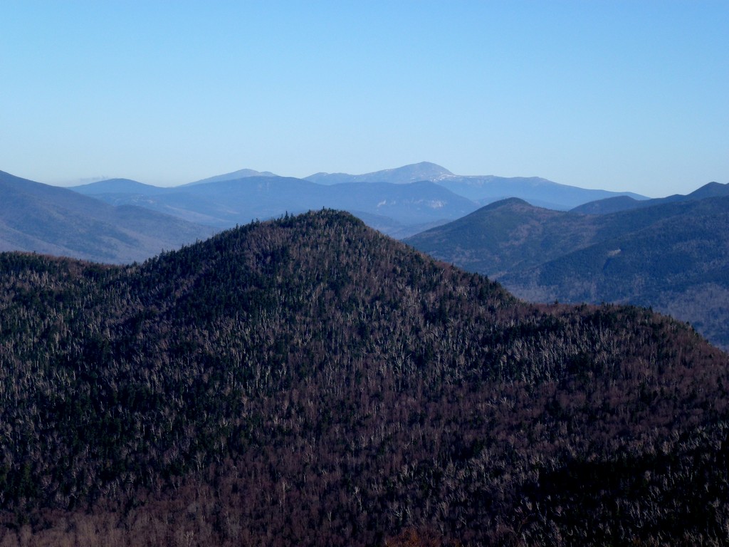
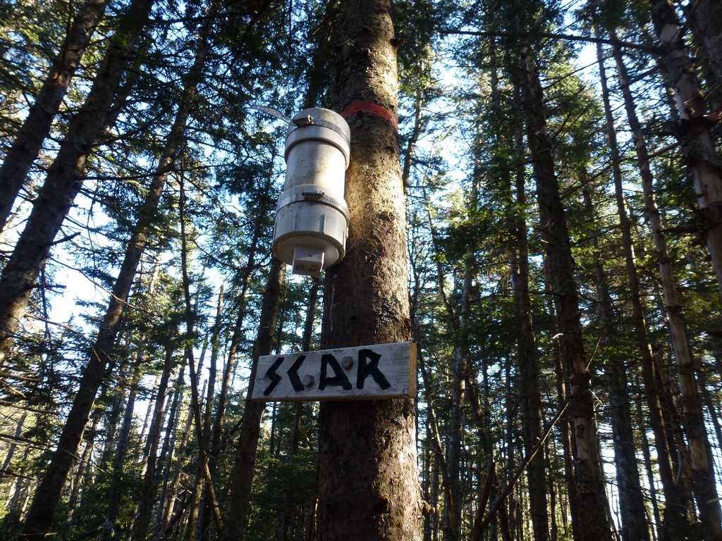
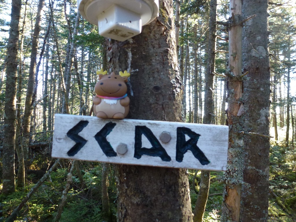
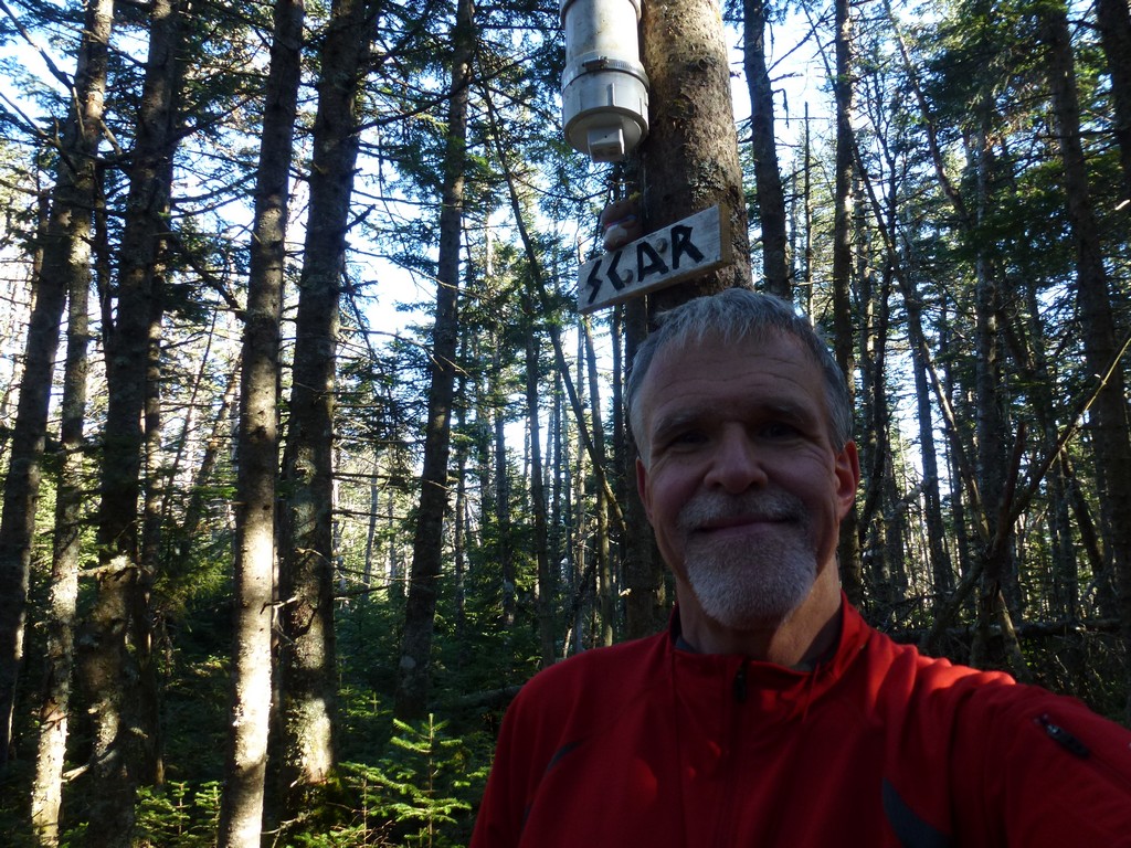
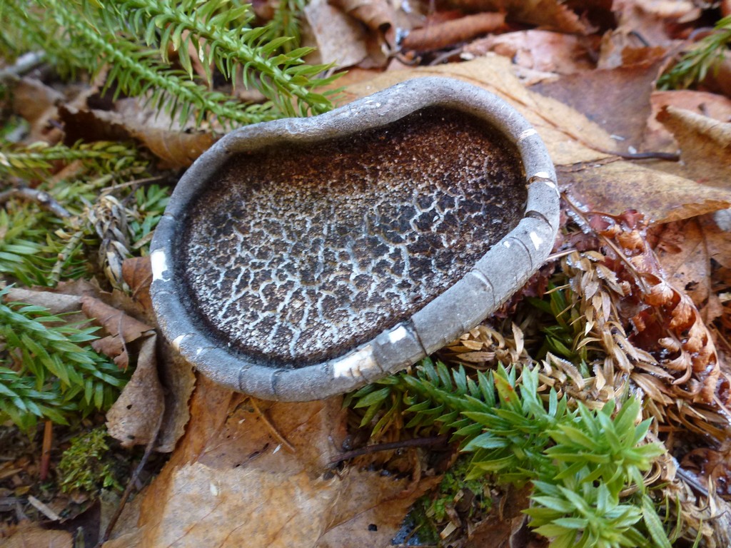
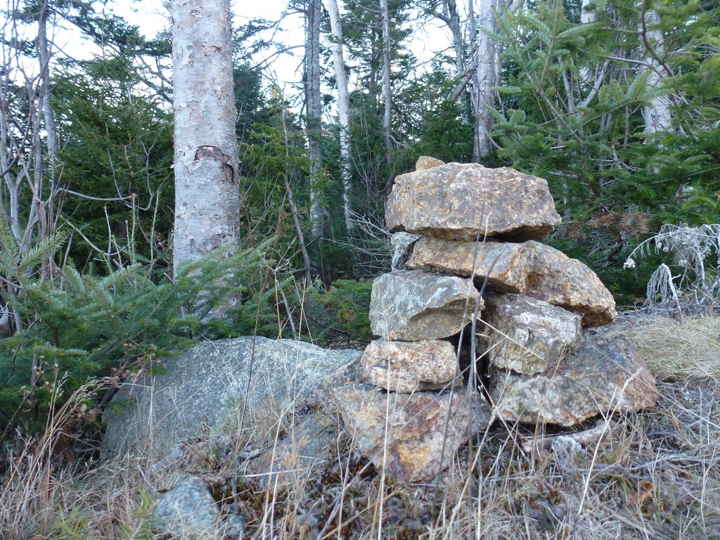
I eventually made myself to the top and thought I was at the high point. There was even a cairn there, but there was no canister. I knew there was a canister on Scar Ridge with a sin above it that said "SCAR" so I started looking around. I found another sort of path, followed that to the east 70 or 80 yards I guess, and found the canister.
I took some photos but try as I might I could not get this canister open. It was sealed tight and would probably take some kind of tool to open.
|
I scared myself at one point when I checked the time on my camera and it said 2:30pm. I knew how long it had taken to get up here and it if took the same amount of time to get down it was going to be very dark. I had a headlamp with me but I did not want to be stuck on this bushwhack section when darkness came trying to navigate with a headlamp. So I cut my stay at the top short and started back the way I had come.
The more I thought on this the more I wondered how it could possibly have taken me that long to get up there. I started up at 9:00 and it could not possibly have taken 5½ hours. So I put my reading glasses on, checked the camera again, and sure enough it had been 12:30... not 2:30. That made me feel a lot better and I immediately slowed my pace. It was just closing in on 3pm when I made my way back to the cairn at the top of Loon Mountain. The shadows were getting deep and there was not much daylight left but this was the easy part and I knew I could get down before dark.
|
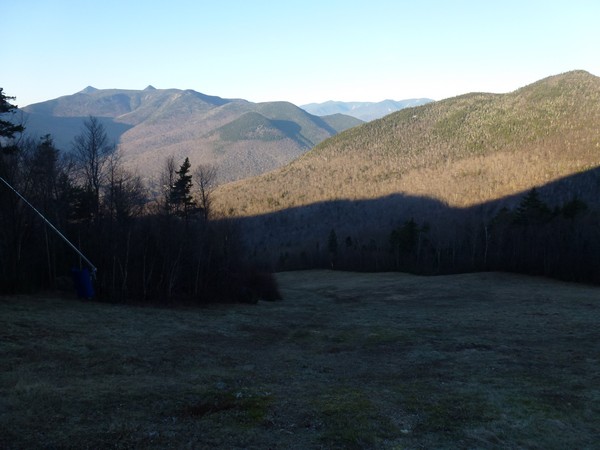
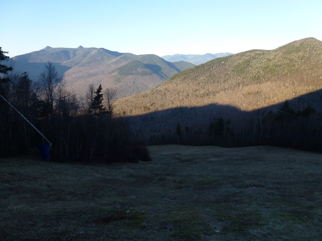
I went down Upper Walking Boss and it was steep and my feet were really starting to bother me from the steepness. The view in front of me was spectacular though so I did not mind stopping every now and then to give the feet a rest and take in the scenery.
|
Upper Walking Boss was also a black diamond trail and very steep but Lower Walking Boss was just a blue square and was still steep but did not seem as steep. My feet were really starting to bother me though so I continued to stop every few minutes to turn to the side and give them a rest from the punishingly steep downhill.
|
I felt very good when I got back down to the base of the ski lift because I knew Brookway was not nearly so steep.
|
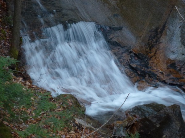
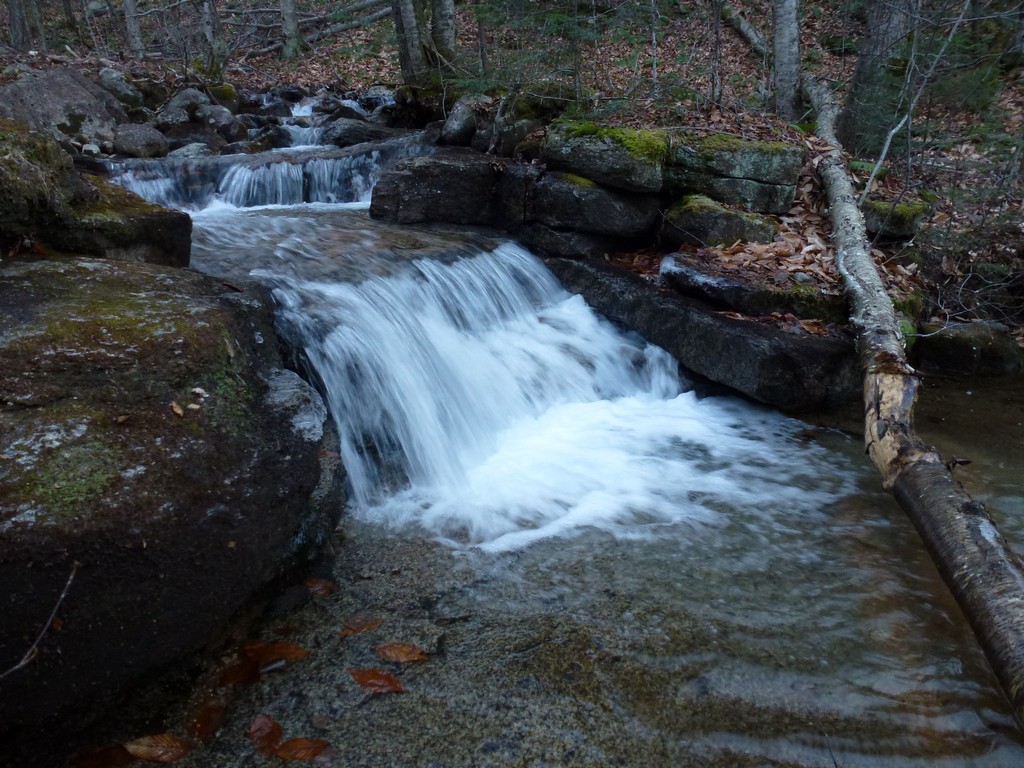
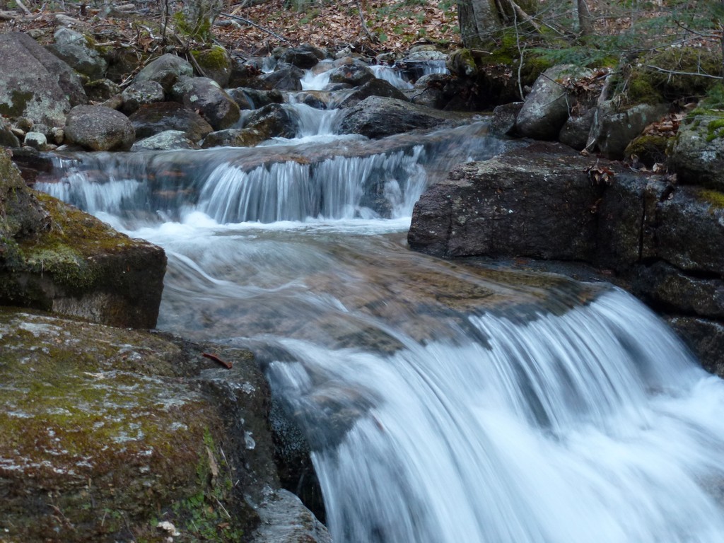
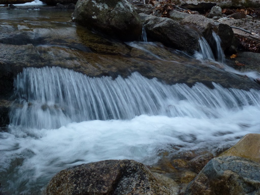
I did a little detouring away from Brookway to get some photos of the little waterfalls in Boyle Brook.
|
It was still light when I got back to the car but it didn't last long. By the time I got things stowed away and took my boots off and put my sneakers back on it was starting to get dark.
|
And so ended the last of the peaks in New Hampshire on my New England Hundred Highest list. The last three had all been bushwhacks of varying degrees and this one, which at one point was worrying me the most, probably ended up being the easiest. Staying high on the ridge is definitely the key.
|
|
|---|
|
|---|


