|
Day hike to The Nubble and the Peak Above the Nubble |
|---|
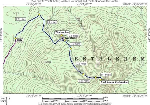
This day hike started at a small parking area at the end of the Gale River Loop Road off of US Route 3 in Bethlehem, New Hampshire. From the gate at the parking area I took a forest road to an unnamed trail that goes to The Nubble (also known as Haystack Mountain ). After doing the short climb to check out the view from the top of the The Nubble I bushwhacked mostly southeast towards a ravine/slide that ascends the northeast side of the Peak Above the Nubble. There was some more bushwhacking at the top of the slide to the to the summit and after a short stay on top I turned around and came back down pretty muchy the same way.
|
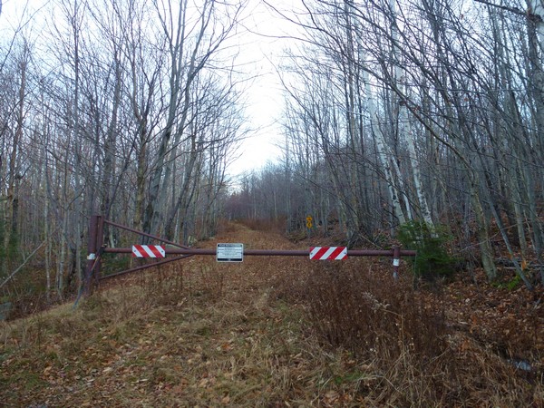
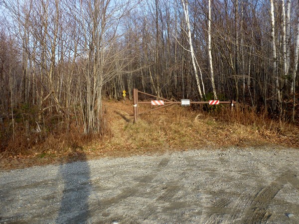
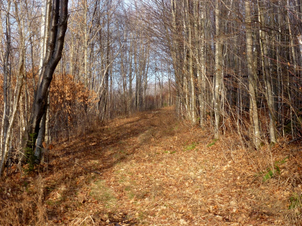
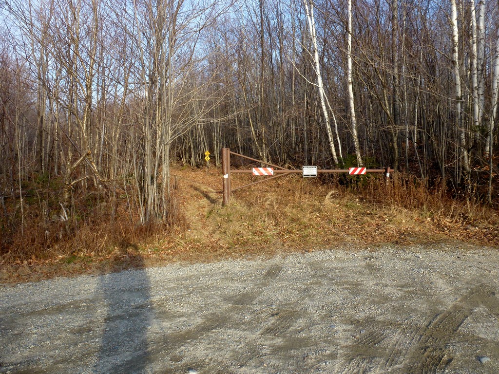
The starting point for this hike was a small parking area next to a gated forest road at the end of the Gale River Loop Road. To get to the gate take the eastern entry to the Gale River Loop Road off of US Route 3 in Bethlehem. After about 1.5 miles the main road turns right towards the trailhead for the Gale River Trail but at this point you want to bear to the left (go straight) and the gate will be approximately 1 mile further.
The Peak Above the Nubble would be number 64 on my New England Hundred Highest list. I arrived at the parking area right around 8:00 and started hiking just a little after. The walk down the forest road to the trail that goes to the top of The Nubble was very easy.
|
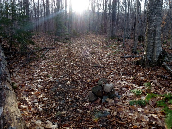
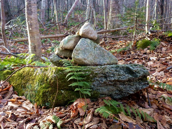
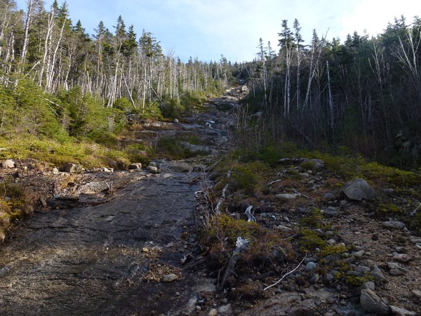
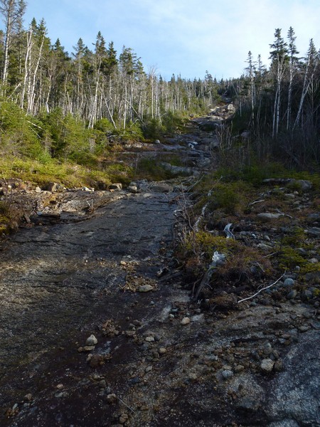
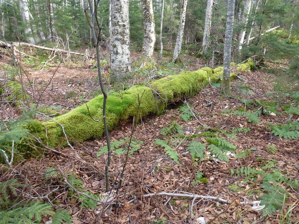
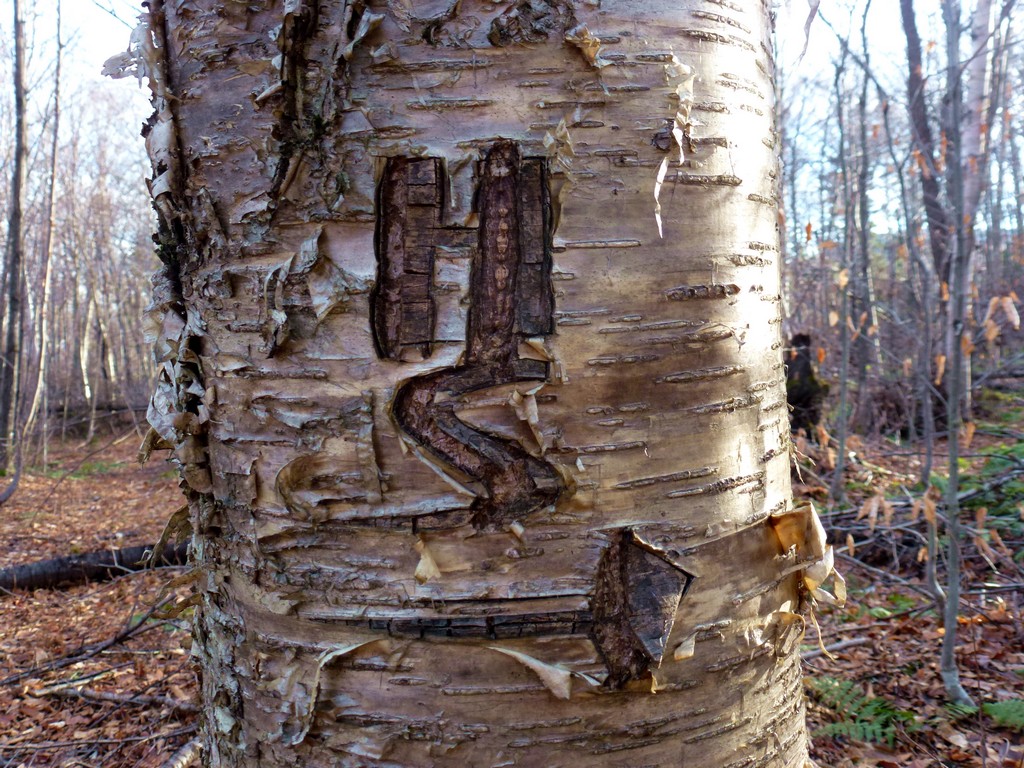
The trail to the top of The Nubble was quite obvious on my right as I was walking down the road and comes just before a slight bend in the road. There was a cairn marking the start of it but the cairn isn't really necessary to identify it. The trail is very wide at the start and was very straightforward and easy to follow. I don't know how many people use this trail on a regular basis but it is definitely well worn. I did not see anyone on it on this day.
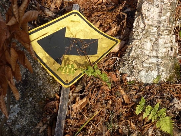
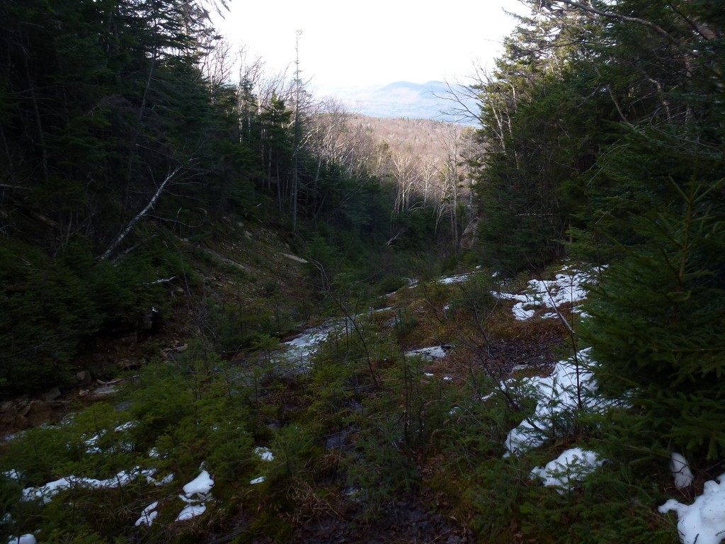
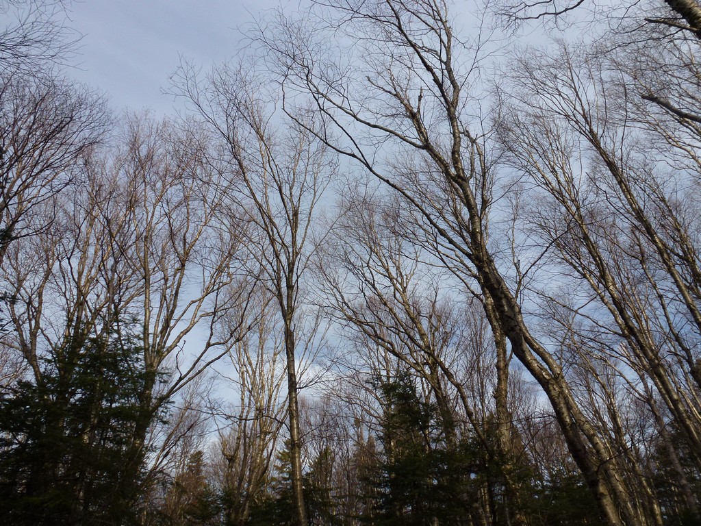
The trail heads east for a short distance and then bends around a ridge coming down from the Peak Above the Nubble. After passing that it begins to head more southerly, descending a little and then following along the west side of a brook. The trail follows along the west and south side of the brook almost of the top of The Nubble and doesn't cross over to the north side until you are alomost there.
|
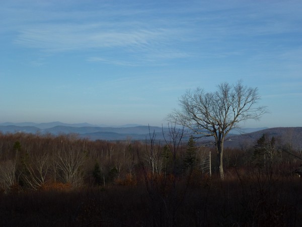
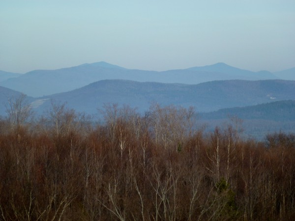
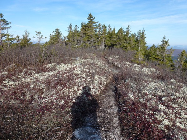
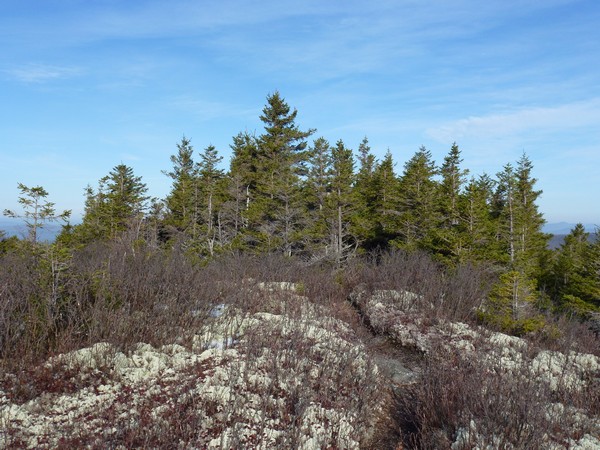
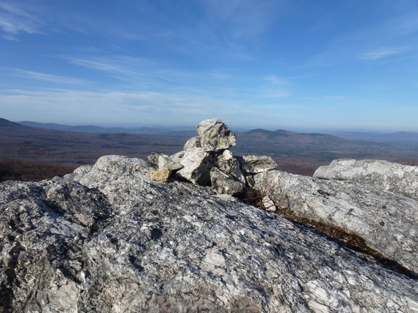
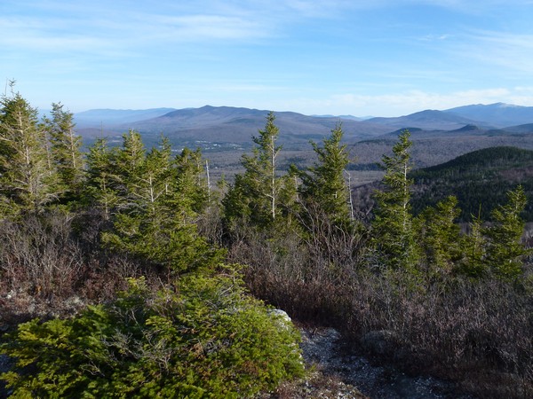
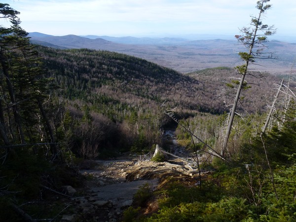
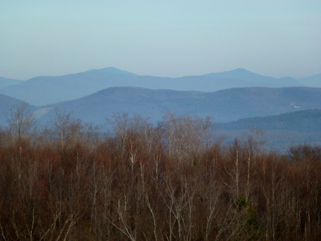
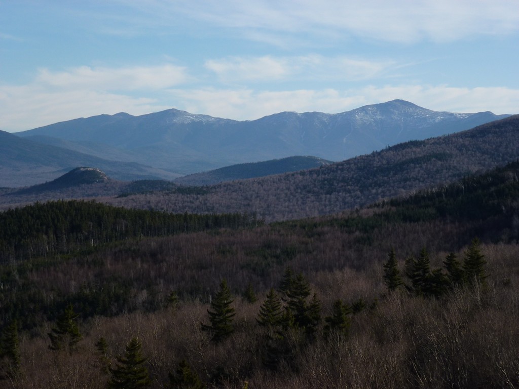
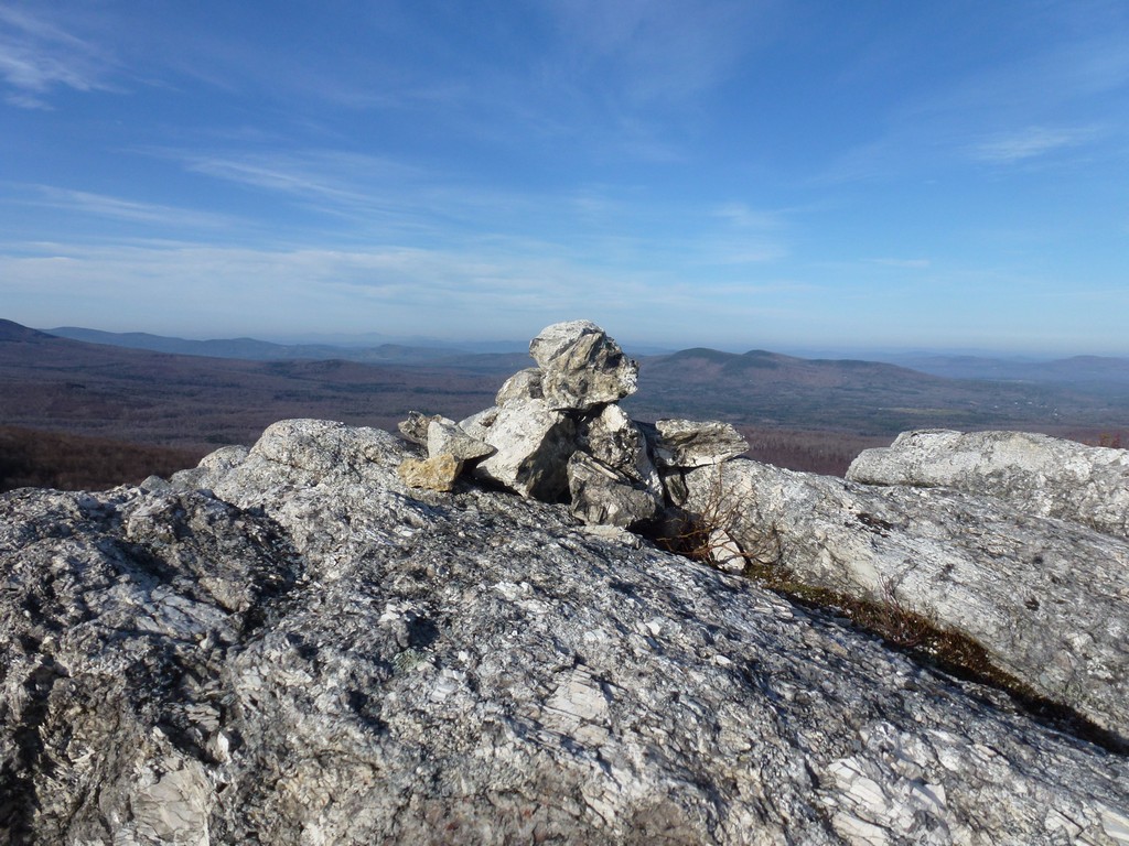
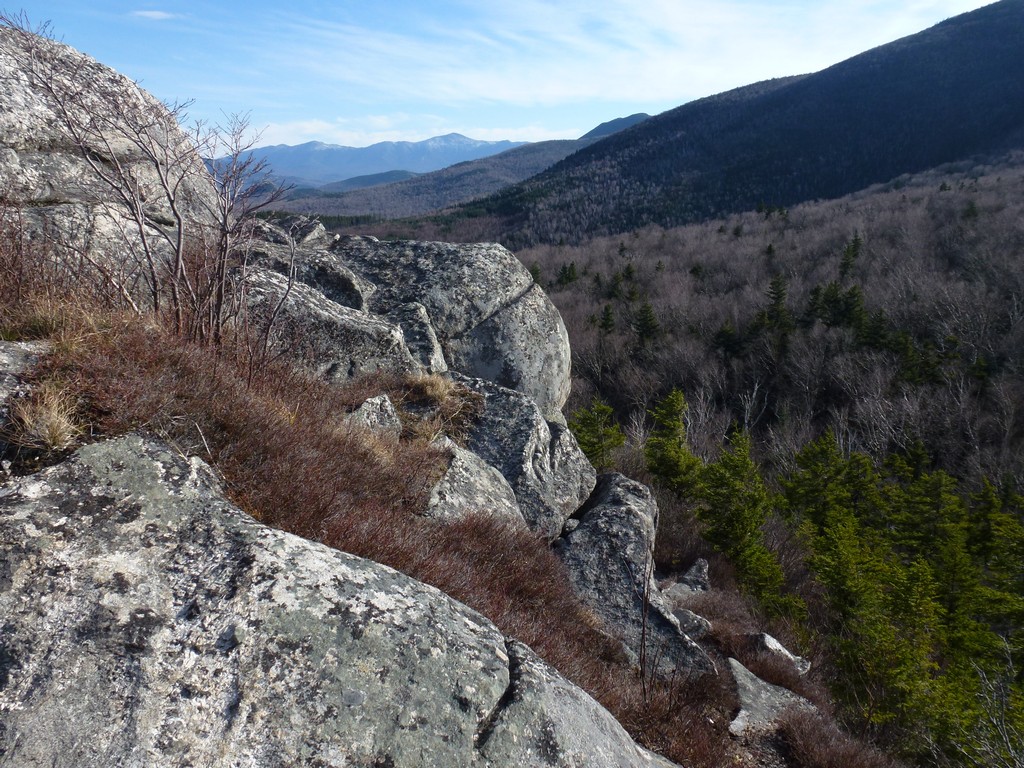
Once the trail comes to the base of The Nubble it is a very short climb/hike up some ledges and some more trail to the summit. The view from the top is magnificent and worth a day hike all by itself.
|
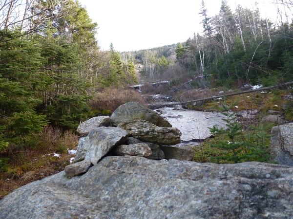
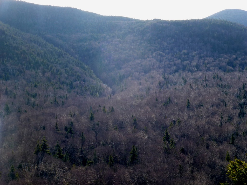
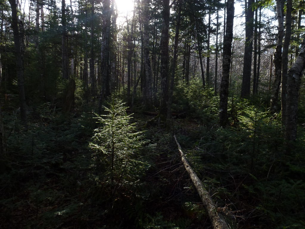
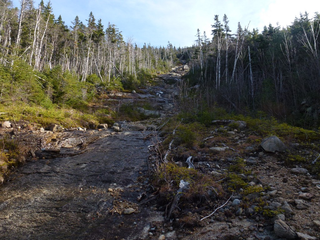
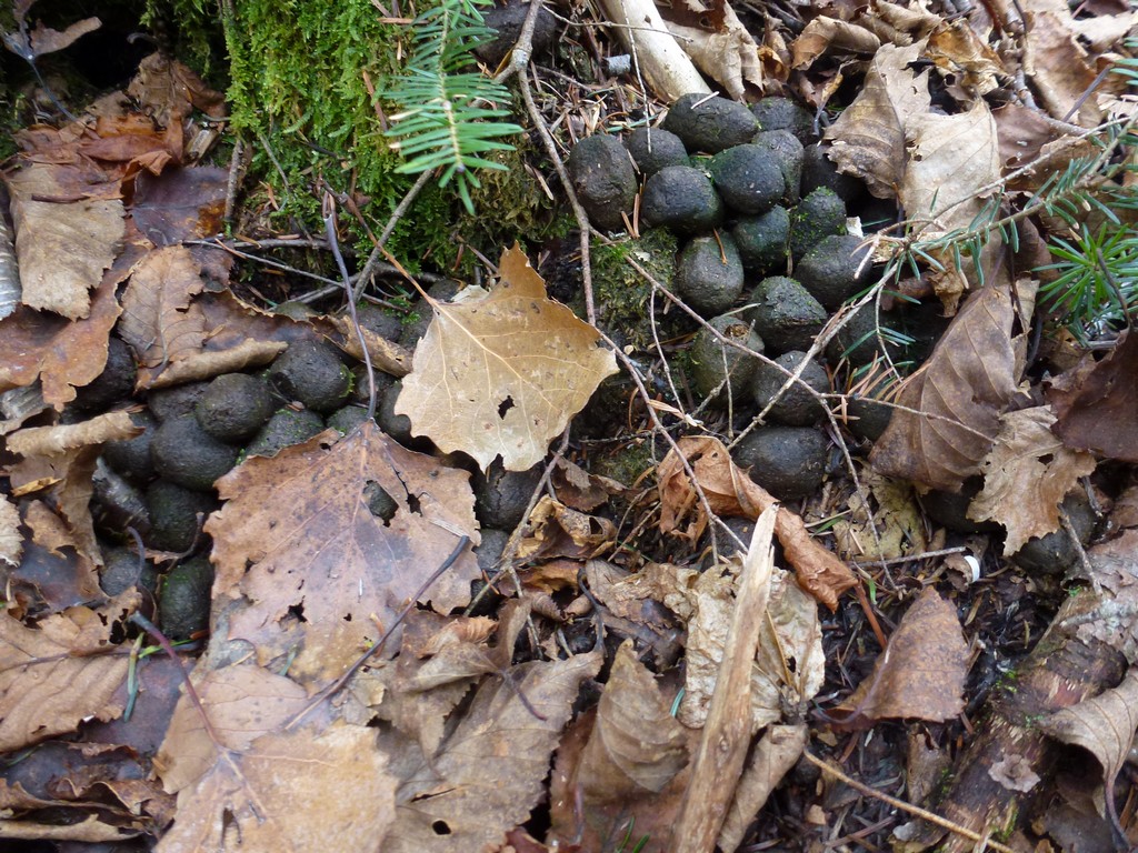
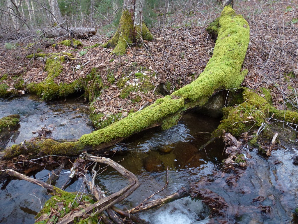
From the base of The Nubble the trail continued off to the east but I did not follow it since I want to be heading more south than east and the forest did not look that dense. I was pretty sure that continuing to follow the brook, which was now just a little off to my right side, would lead me directly to the ravine/slide that I wanted to use to ascend. I tried to head over to the brook and descend to it but got stuck in some very dense spruce and then realized I was at the brink of a cliff and could not get down to the brook anyway. So I started making my way along the bank and eventually came to some kind of animal trail. There were piles of moose droppings all along it and it was very easy to follow. Moose are big animals and make good trails. There were a couple of more dense spots that were probably not difficult at all for a moose to push through that proved a bit of a challenge for me but these were few and all-in-all it was an easy trail to follow. I probably did not go more than a tenth of a mile or so along this trail before it found a break to descend to the brook and crossed to the other side.
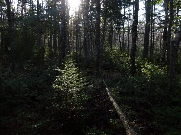
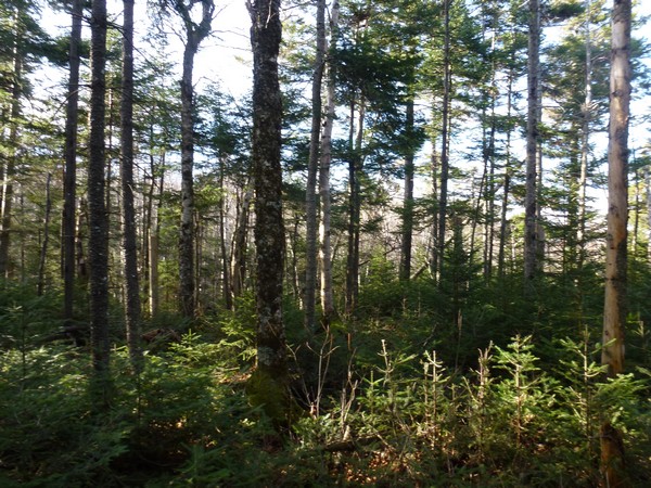
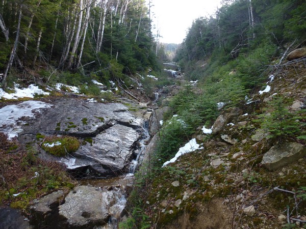
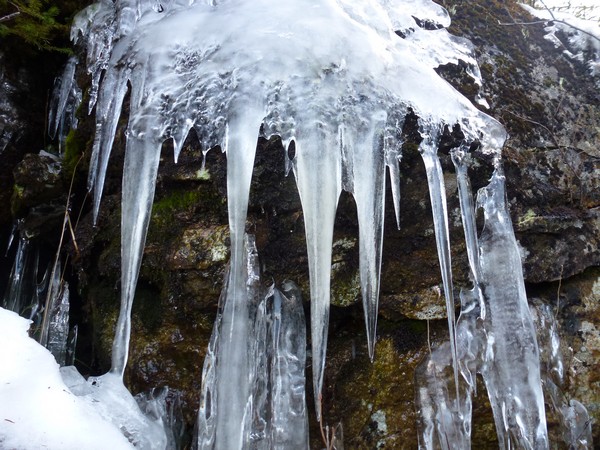
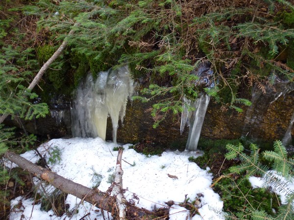
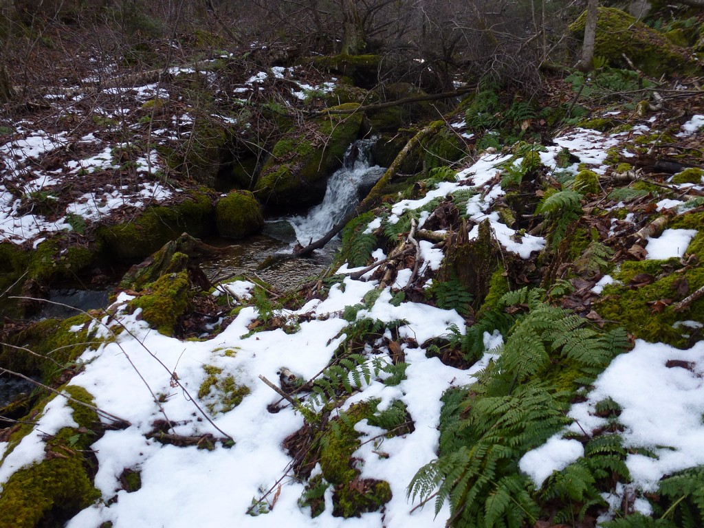
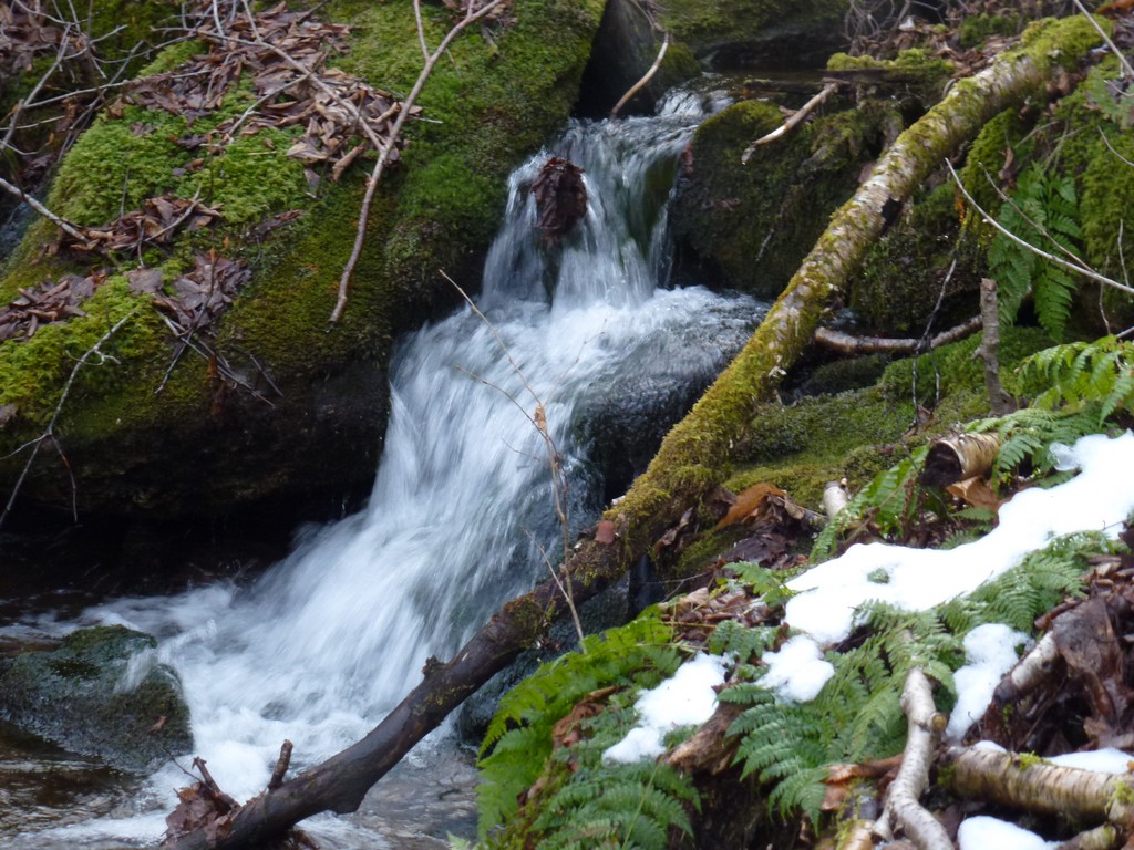
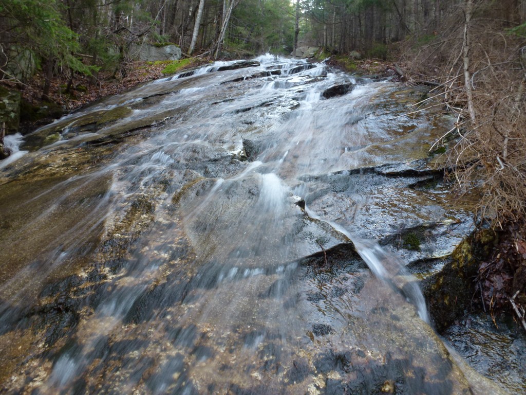
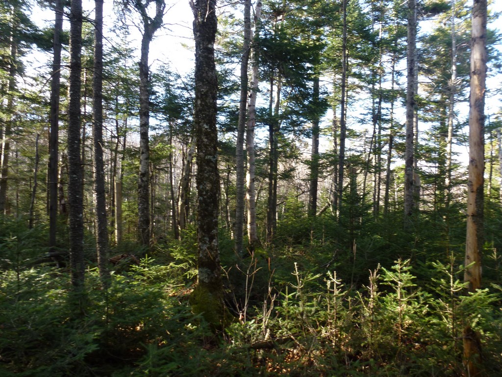
Once on the other side of the brook the forest became considerably less dense and there were still trails of some sort to follow. At times it almost seemed like I was on an old, abandoned forest road that the forest had simply reclaimed. The going was very easy and I just kept heading along the west side of the ravine trying to never get too far away from it. At times when I was closer to it I could see that there was water running down it and there were also patches of snow and ice. It was definitely easier traveling through the forest.
|
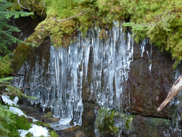
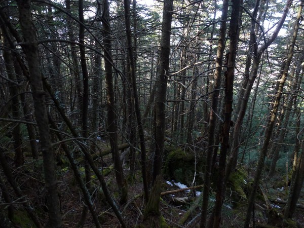
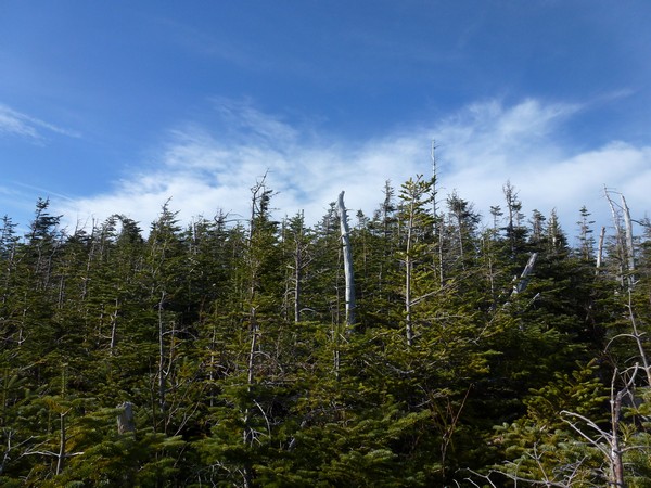
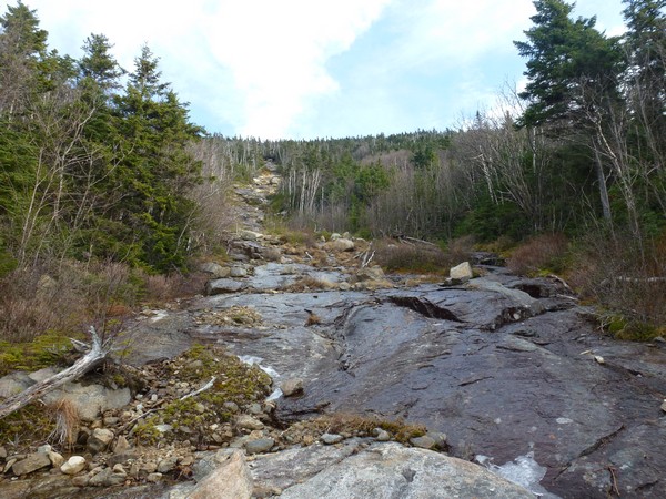
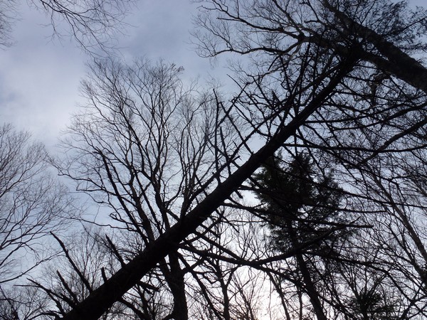
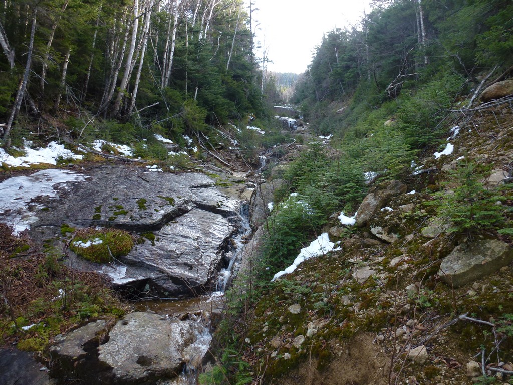
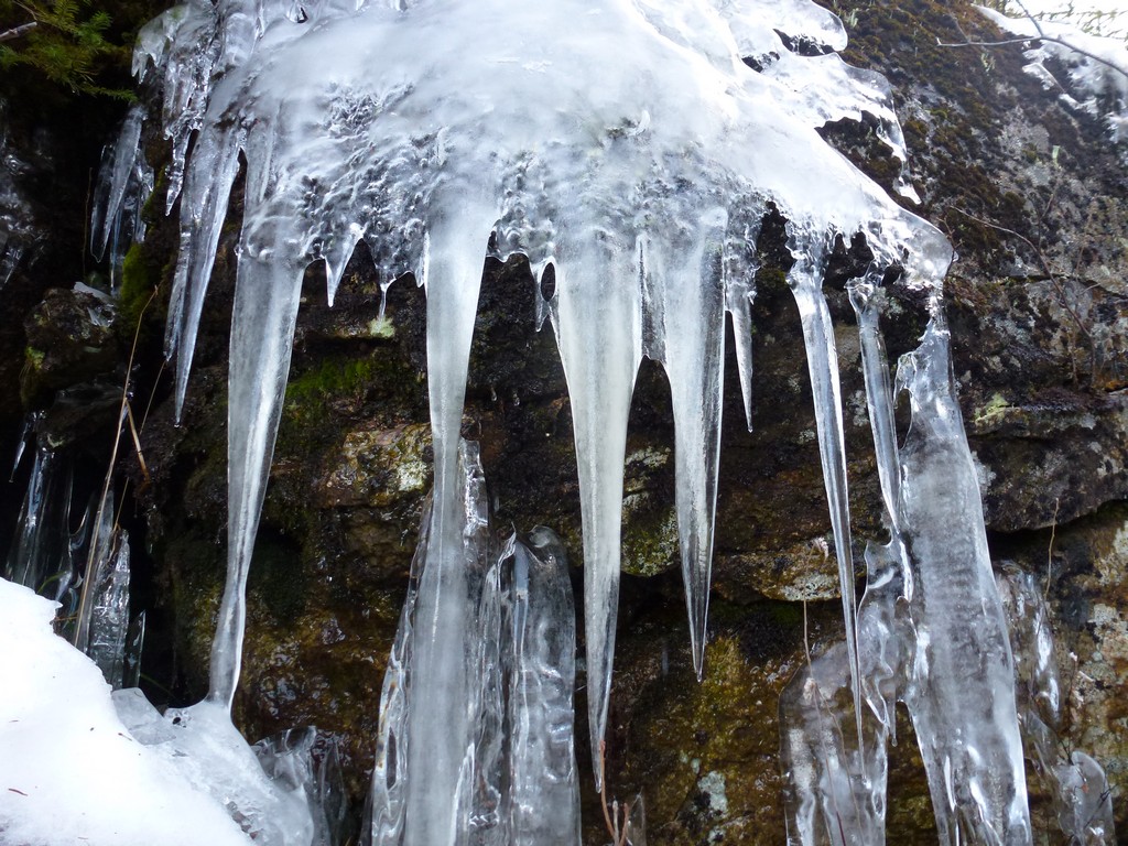
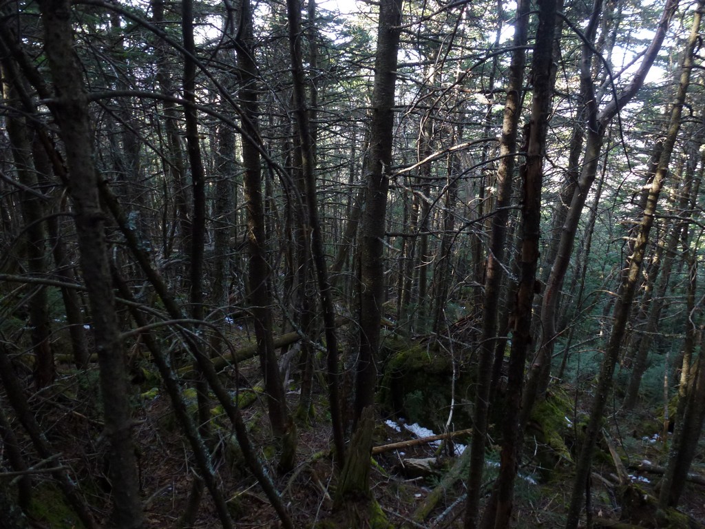
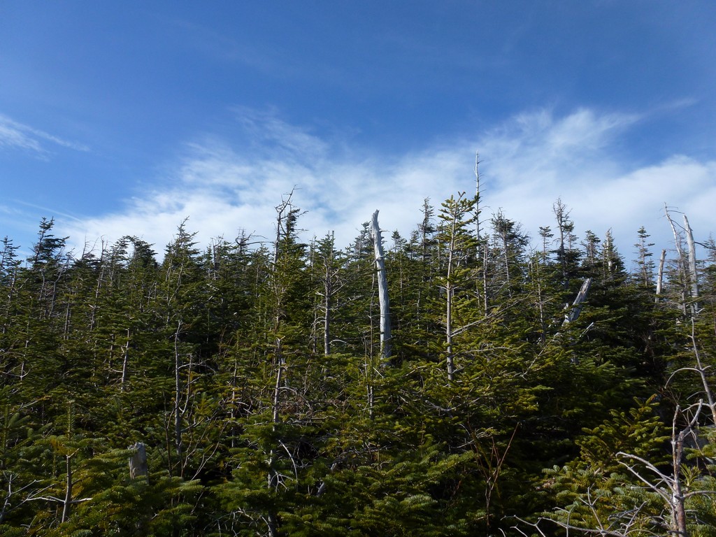
The hardwood forest finally did give way to a much more dense spruce forest higher up and this became nearly impossible to navigate forcing me down into the ravine. At this point I was probably 2/3 of the way up the ravine though and I am sure I made much better time in the forest than I would have in the ravine. Once I did get down into it the going was slow as I was constantly trying to look for ways around the flowing water and the icy patches. I did have my microspikes with me but there was not enough ice to warrant putting them on and I would have ruined them walking on all of the bare rock.
|
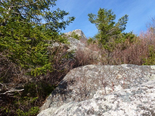
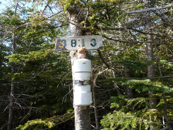
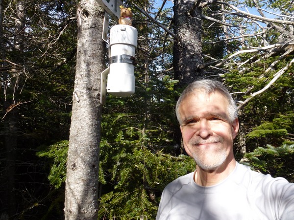
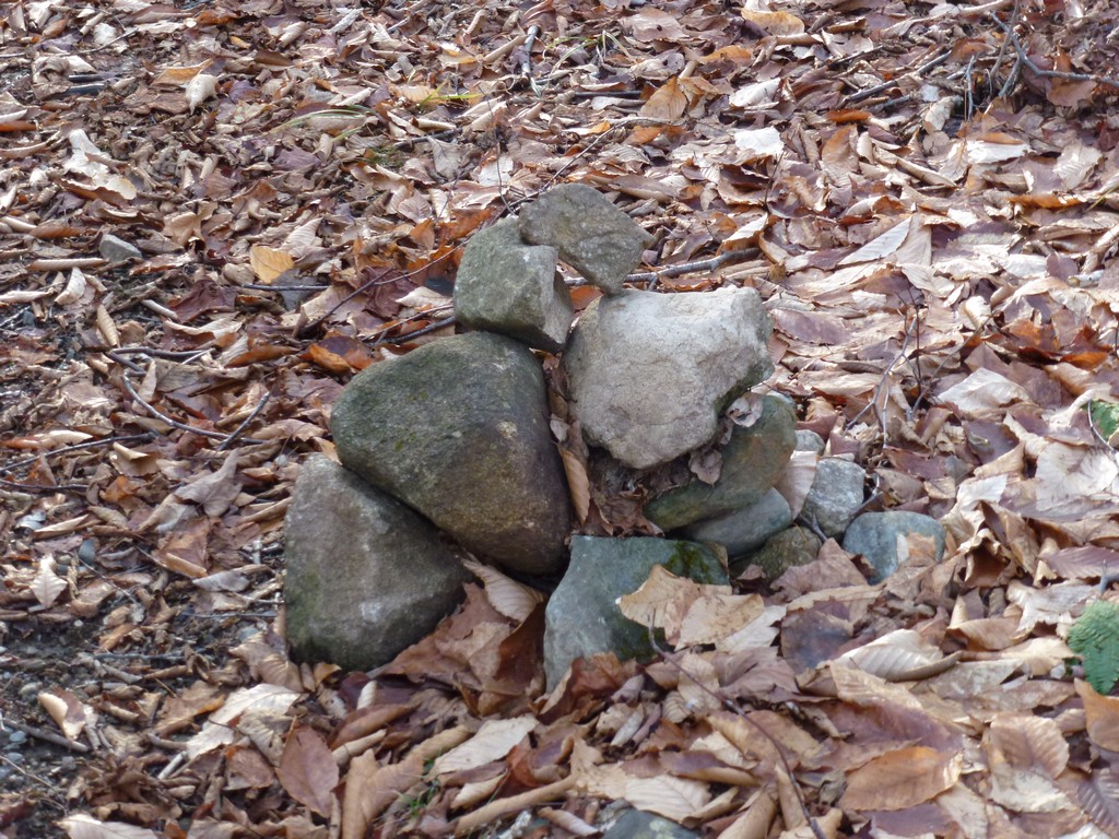
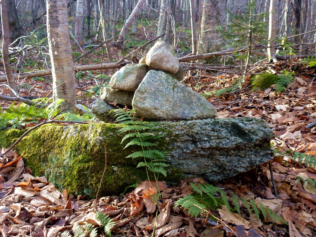
Once at the top of the ravine I had another relatively short bushwhack through some more dense spruce and blow downs to the summit of the Peak Above the Nubble. I ran across the "illegal trail" coming up from east side at the top of the peak and ended up following that the last few feet to the canister.
|
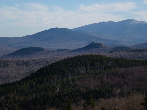
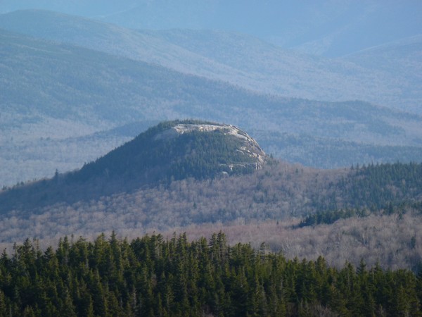
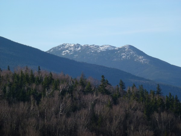
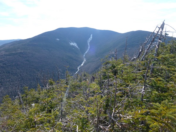
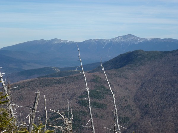
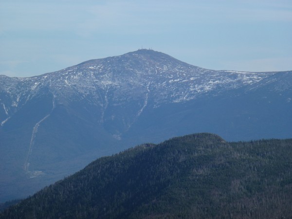
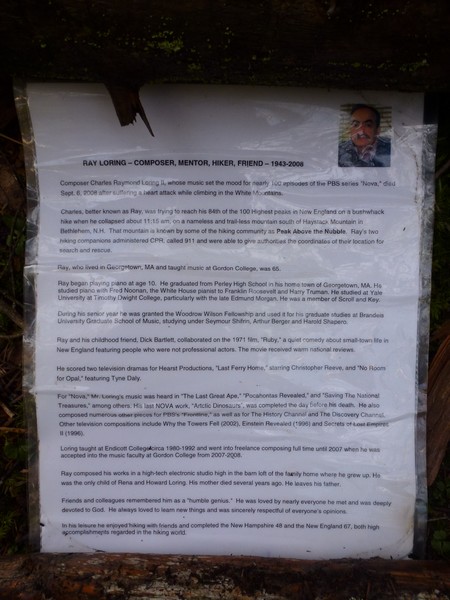
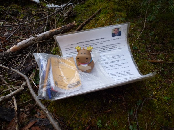
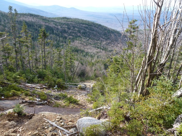
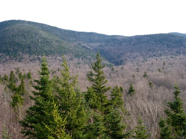
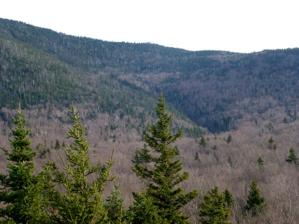
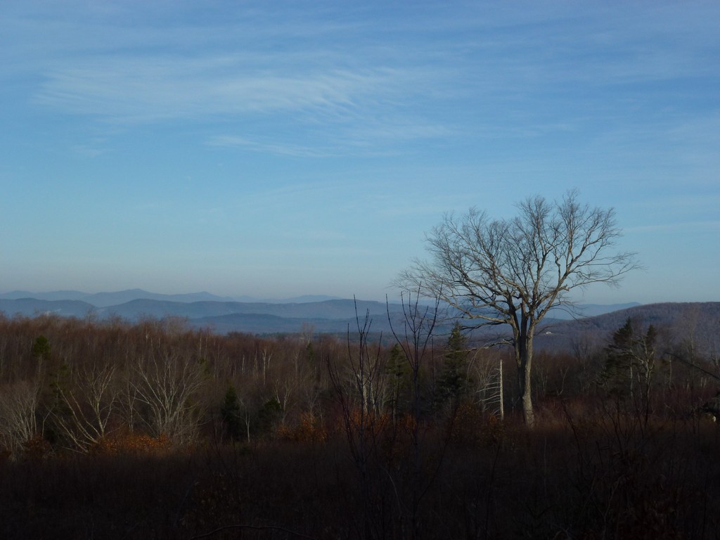
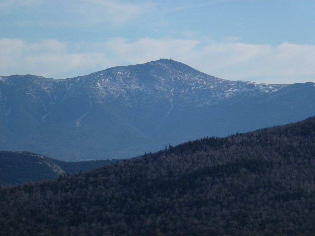
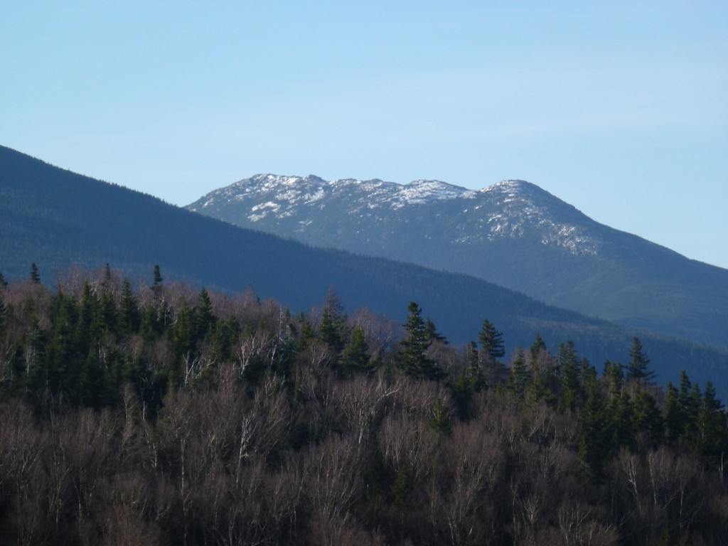
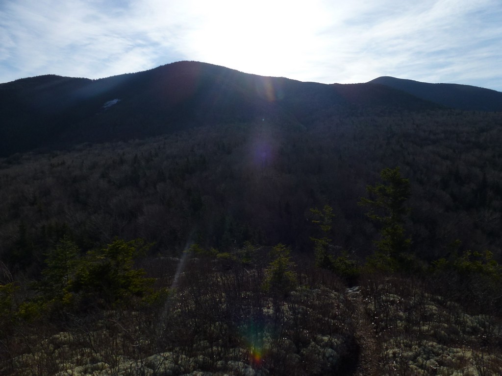
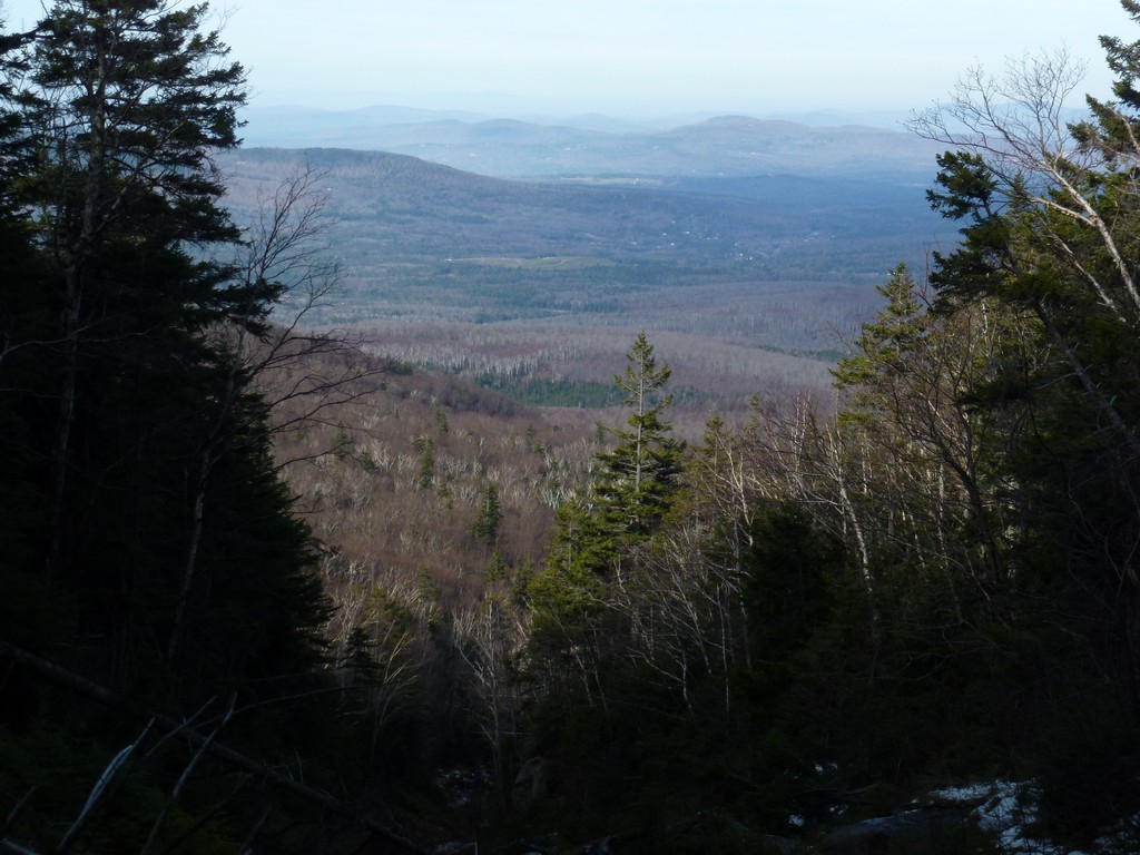
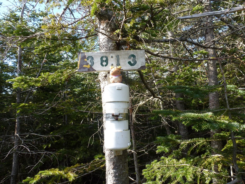
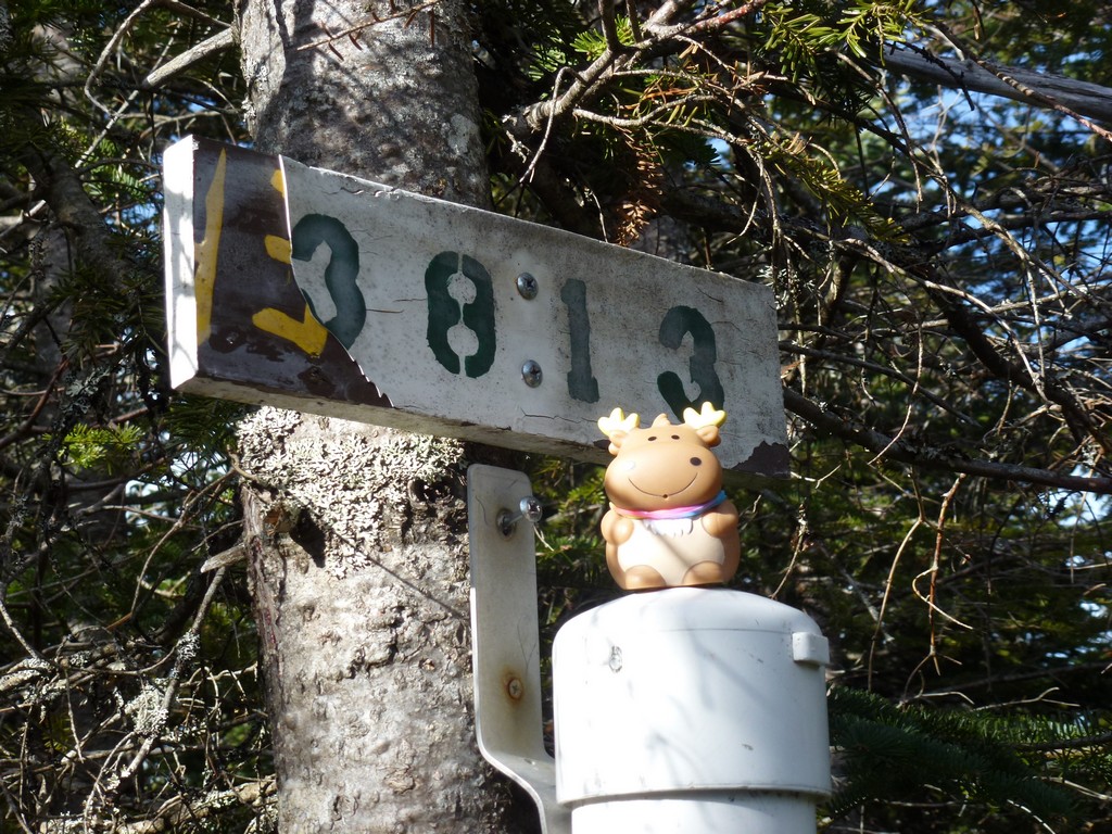
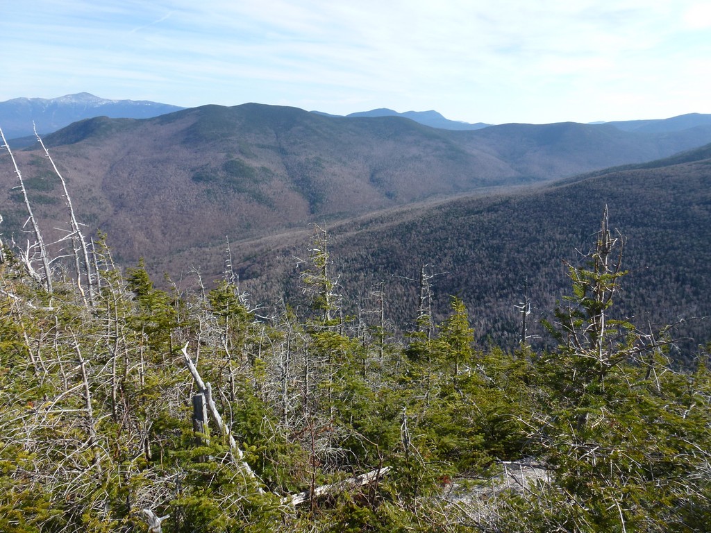
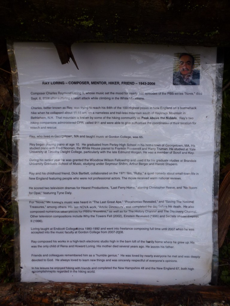
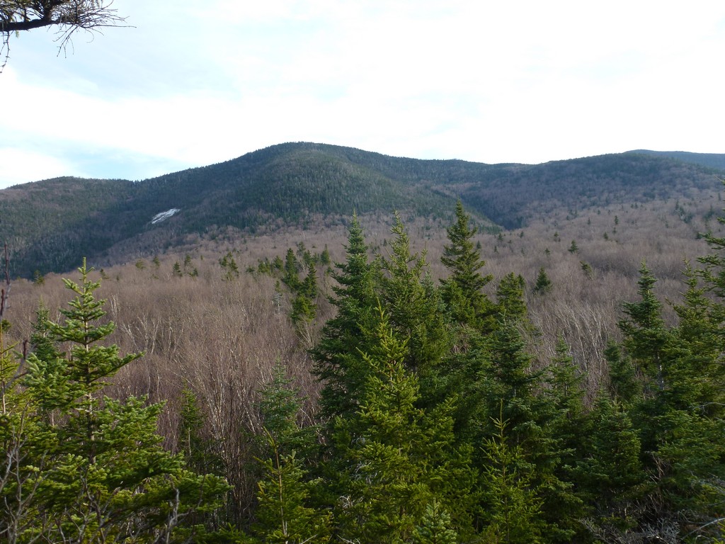
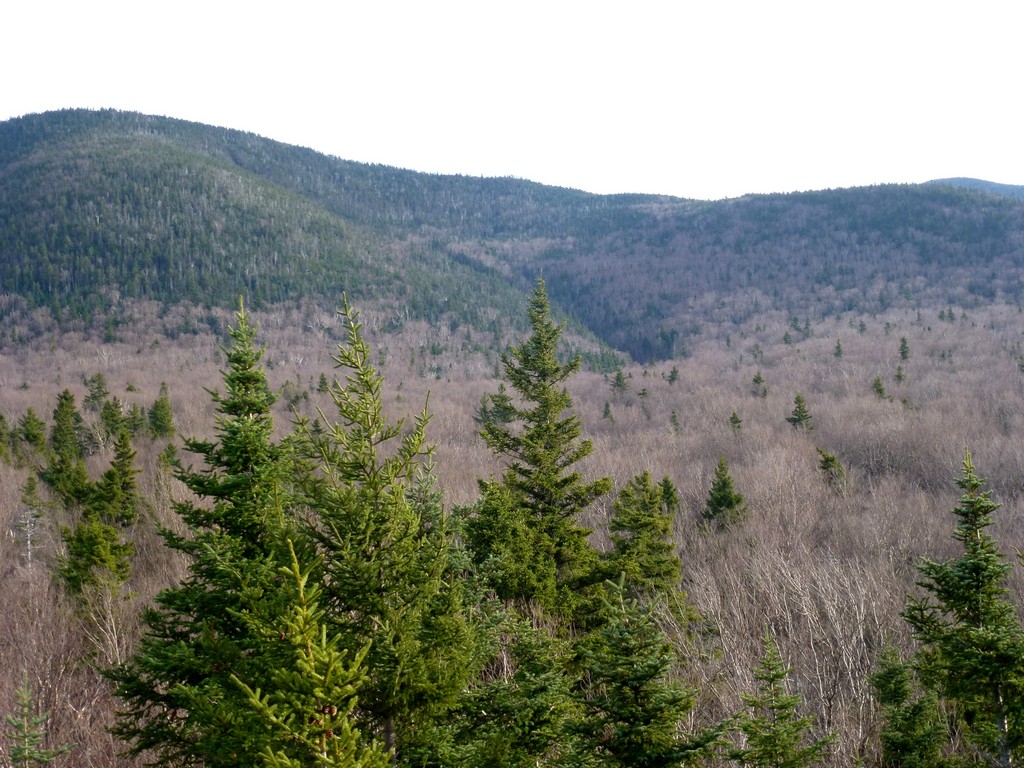
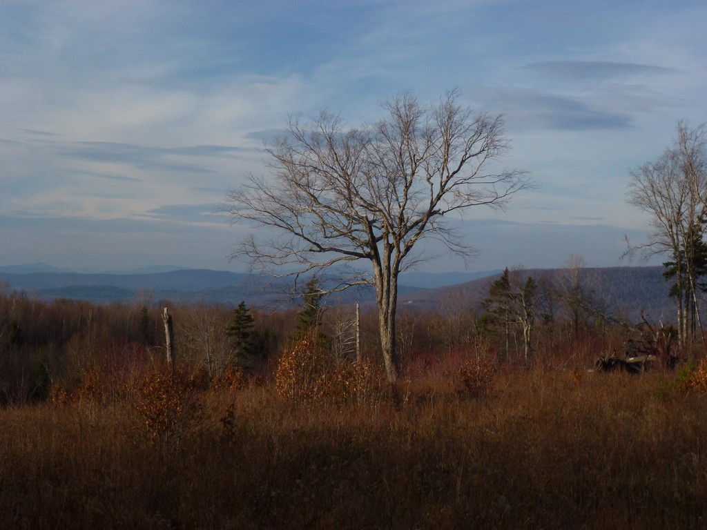
It was 11:30 when I reached the summit so it took almost exactly 3½ hours to come up the way I did and I figure about the same to go back down. I took some photos of the canister and with the canister and even opened up the canister to read the tribute to Ray Loring who died of a heart attack while attempt to ascend the Peak Above the Nubble back in 2008. I also walk the short distance to the south side of the peak where there were actually some very nice views of Twin Mountain to the south and Zealand Notch and the Presidential Range to the east. I was not on top long, perhaps only 20 minutes, before I started back down.
|
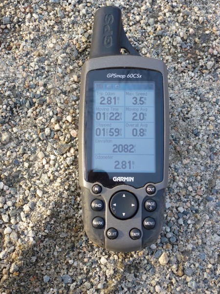
I had a little trouble finding my way back to the top of the ravine though. I followed the illegal path back to where I came out of the spruce. I know I was in the right place there because I could see my boot prints in some of the snowy patches between the trees. I followed these until they ran out and then... nothing. Since I was on top of the peak "down" was pretty much all around me and nothing looked familiar. I checked my GPS and though I knew which direction to head in and tried to follow that bearing with my compass. I don't know what happened but I went way off course, almost in the complete opposite direction of where I wanted to go and when I finally noticed the sun was not where it should be checked the GPS again I was totally baffled. I can only assume I had not turned the compass dial properly and was actually heading 180° away from where I wanted. I took another bearing and started following the compass again and did finally come to the ravine but I wasted probably a good half of an hour fighting back and forth through some pretty dense spruce to get there.
Once in the ravine I followed it back down to the point where I had come out of t he forest and went back in. There was some dense spruce at first but it gradually have way to the much less dense hardwood forest again. I am sure I did not take exactly the same way back down through the forest but just picked what seemed to be easiest from wherever I was. There were some denser sections here and there ad some fallen trees to to navigate around but it was pretty quick going.
|
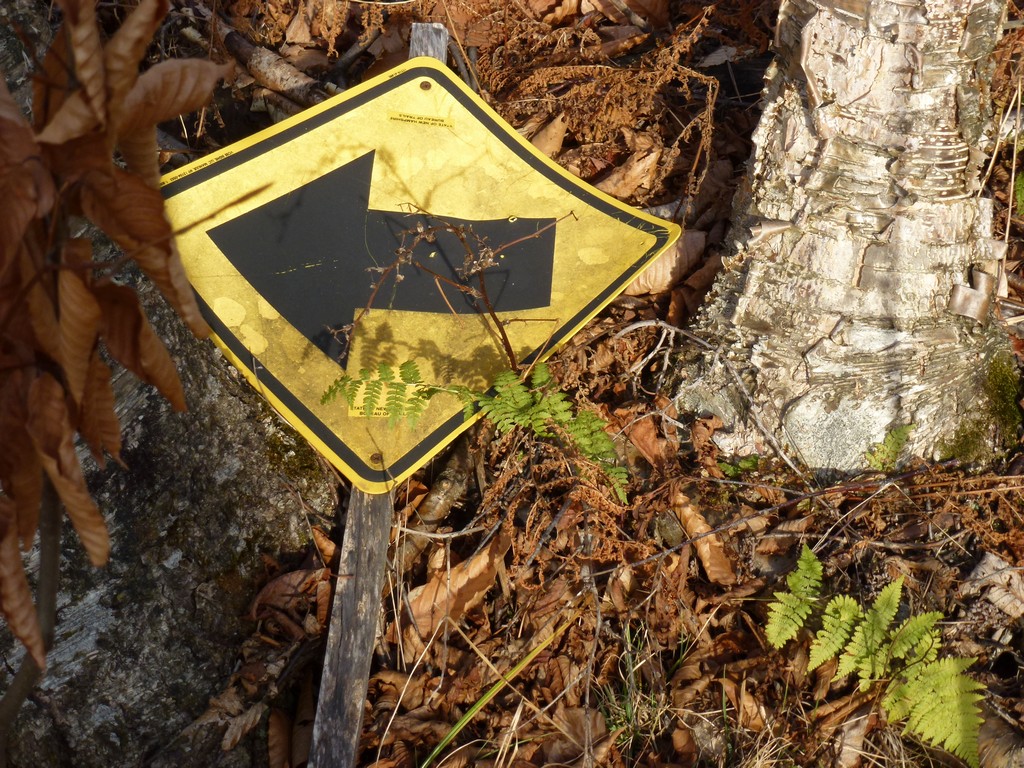
I did eventually come to some sort of trail and followed that to the same point where I had crossed brook on the way up. I crossed again, ascending the bank on the other side, and was back on the moose trail. Except this time I noticed that it was not completely just moose trail. There were places where the vegetation had definitely been cut back by humans... mostly notably little stumps where saplings or small trees had been cut down. At that point I didn't know if it was a human trail that was simply being used by moose or a moose trail that had been made easier to navigate for humans.
|
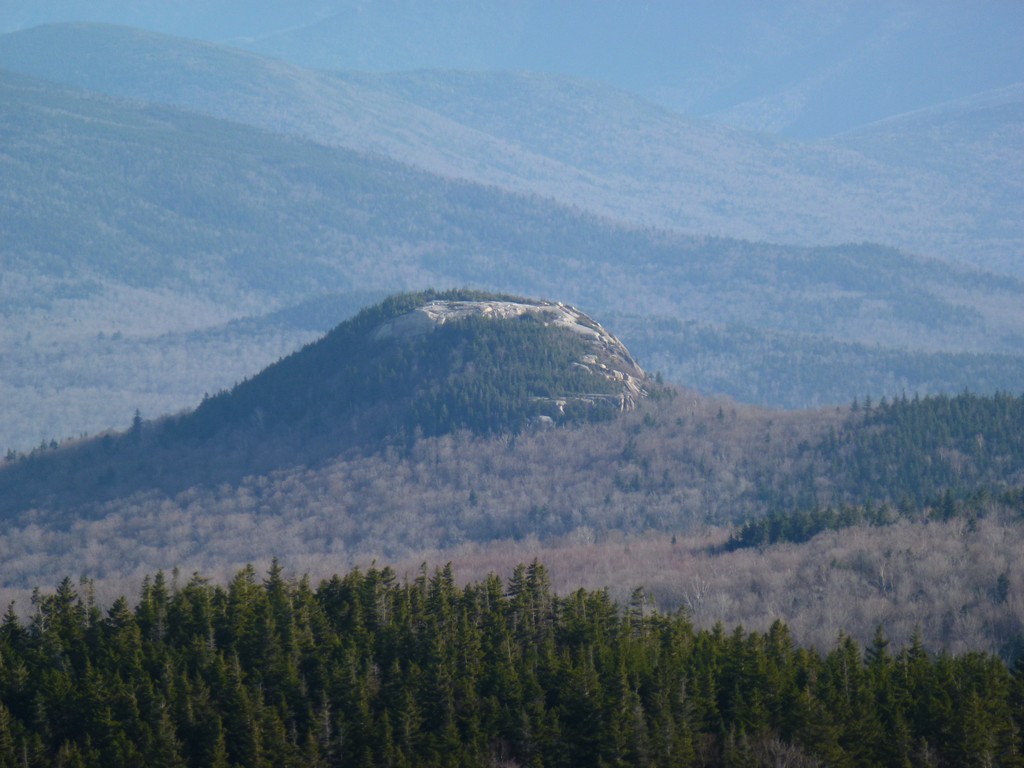
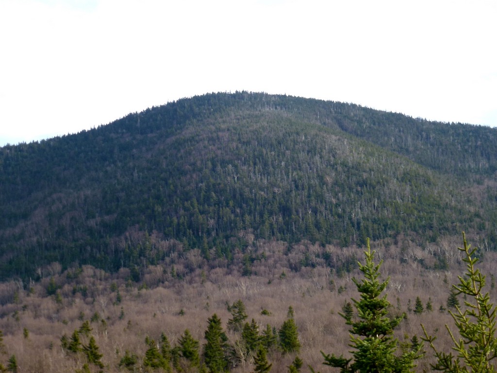
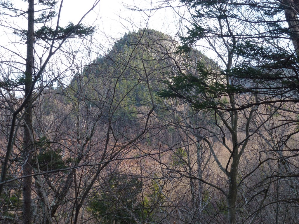
Back at The Nubble I climbed back up a short ways for some parting shots of the Peak Above the Nubble and the area around it. I did not go all the way to the top this time.
|
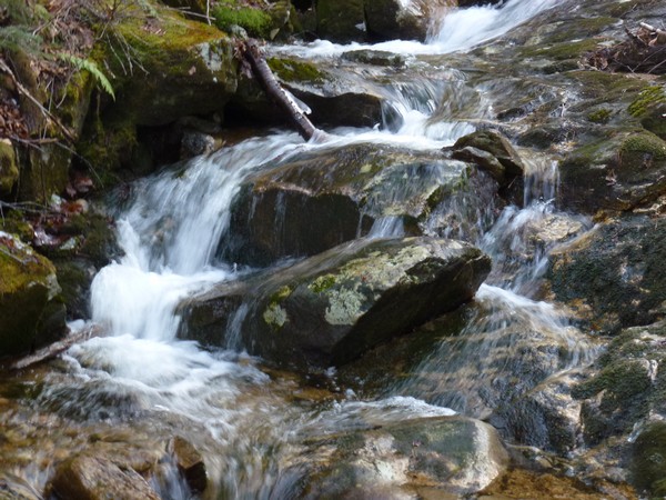
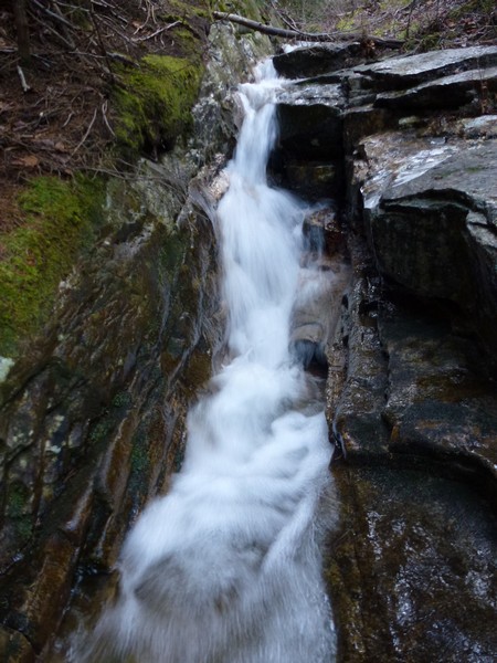
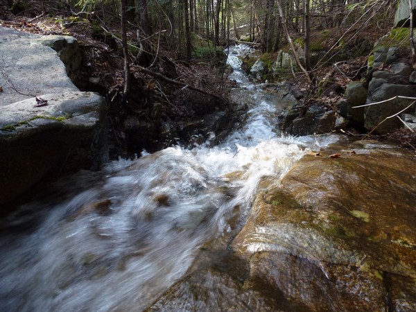
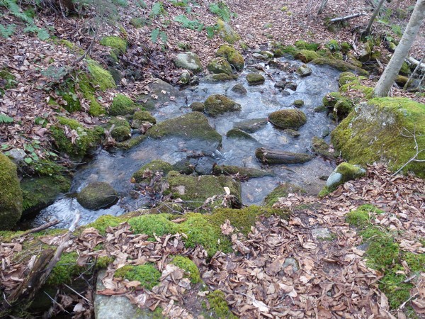
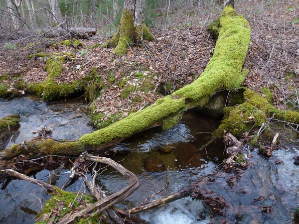
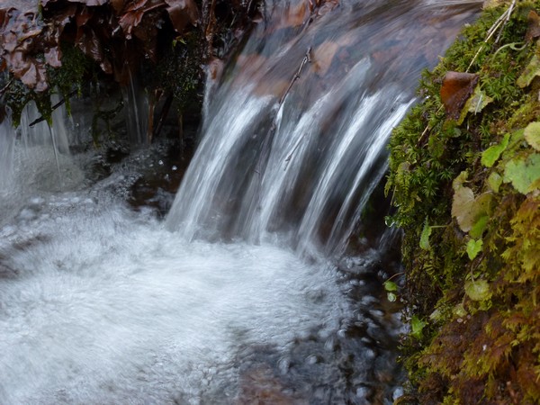
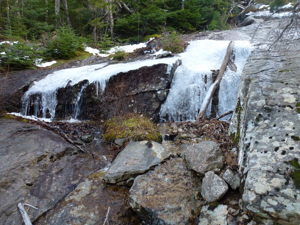
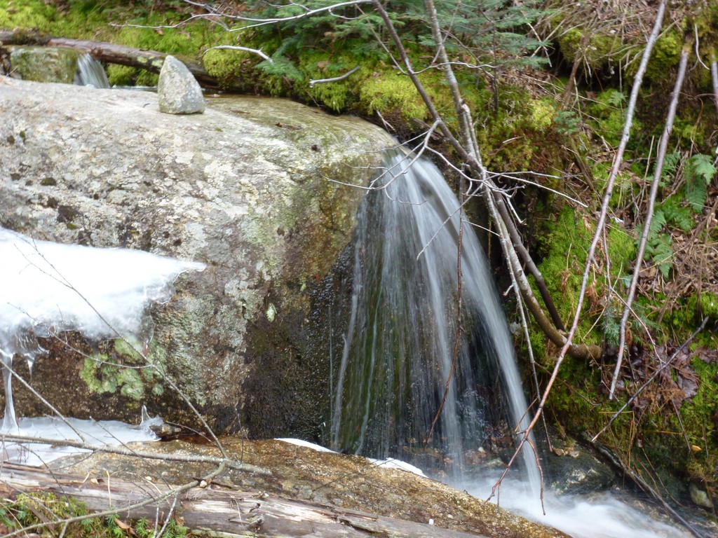
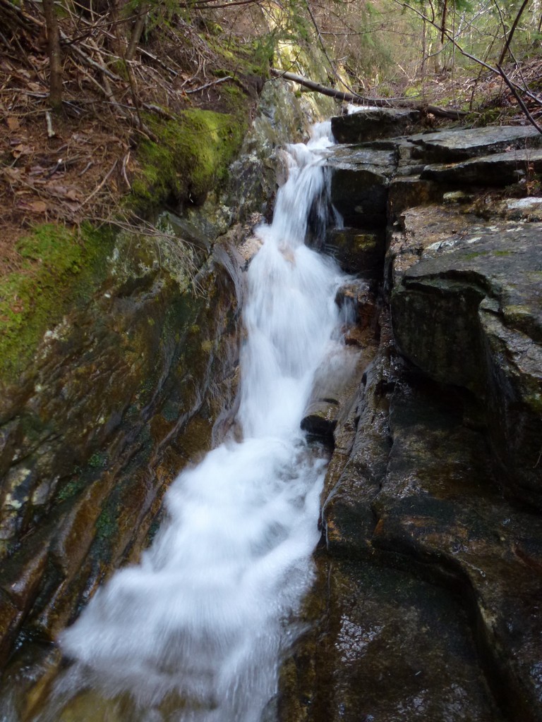
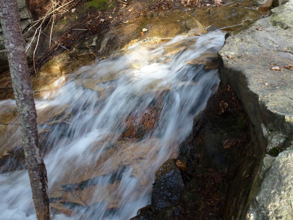
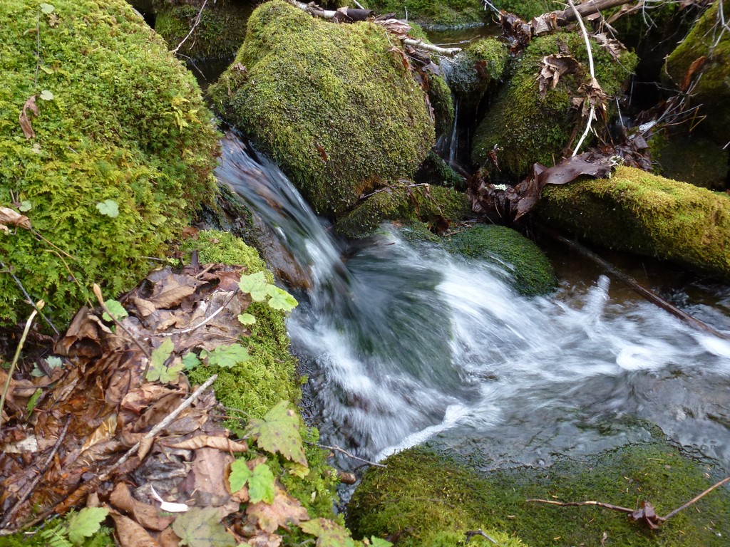
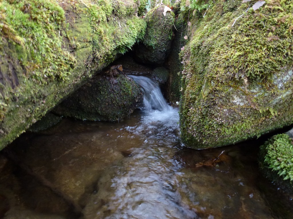
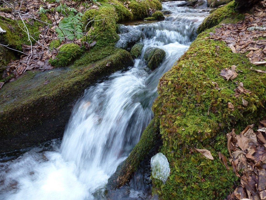
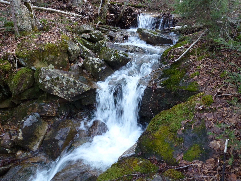
I was in no hurry and had plenty of time to space so I stopped to take lots of photos of the little waterfalls and cascades in the brook on the way back to the forest road.
|
It was about 2:45pm when I got back to the forest road and took about 20 minutes from there to get back to the gate and my car.
|
It was a good hike and I had a wonderful day for it. The day started off chilly and I had my fleece on at the start but it did not take long to get of that and I spent most of the day hiking with just my short sleeve shirt. Because of this my hands and arms took a beating from the brush but at least I did not injure my shins the way I did on the Vose Spur bushwhack a few weeks earlier. It felt good to have this hike and bushwhack behind me and all-in-all it was not as bad as I thought it would be. The only tough part was not finding the top of the ravine right away when I left the summit and fighting all of the spruce up on top to get there.
|
|
|---|
|
|---|


