|
Unknown Pond, The Horn & The Bulge day hike |
|---|
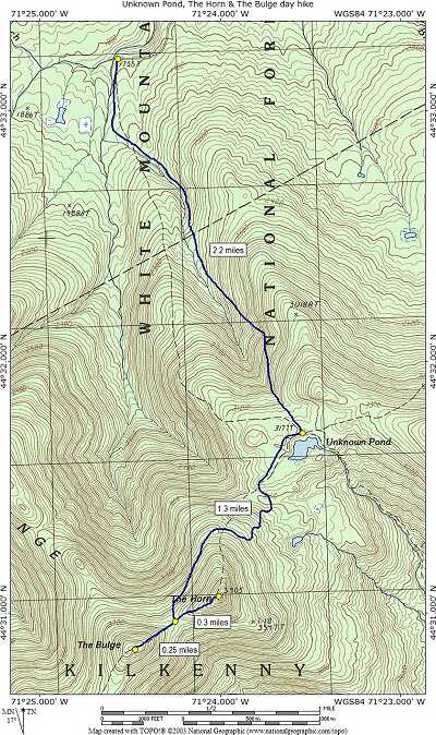
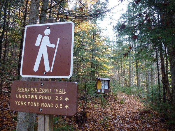
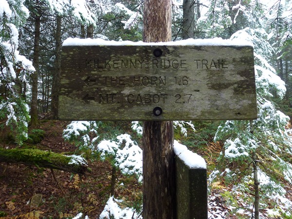
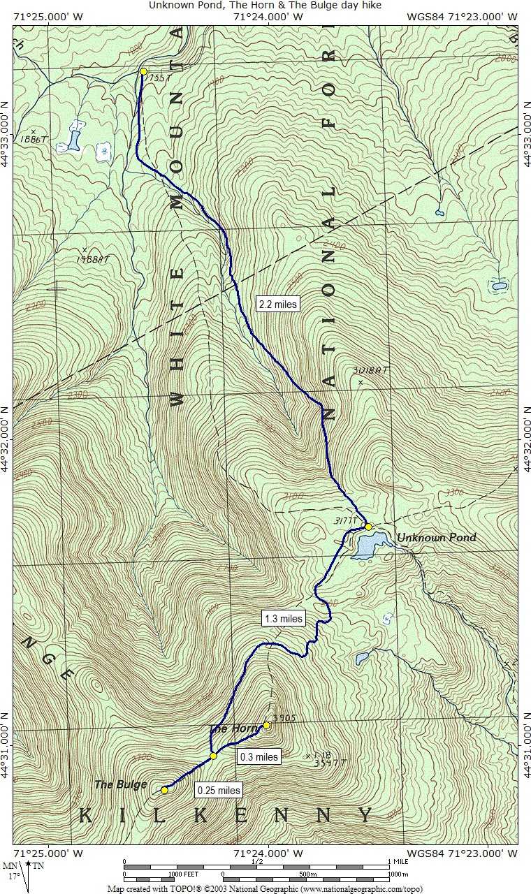
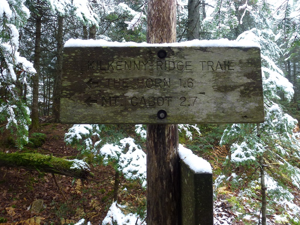
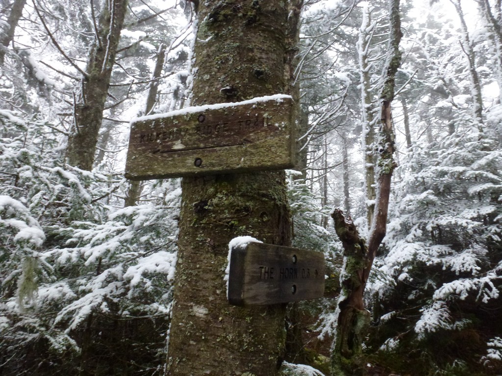
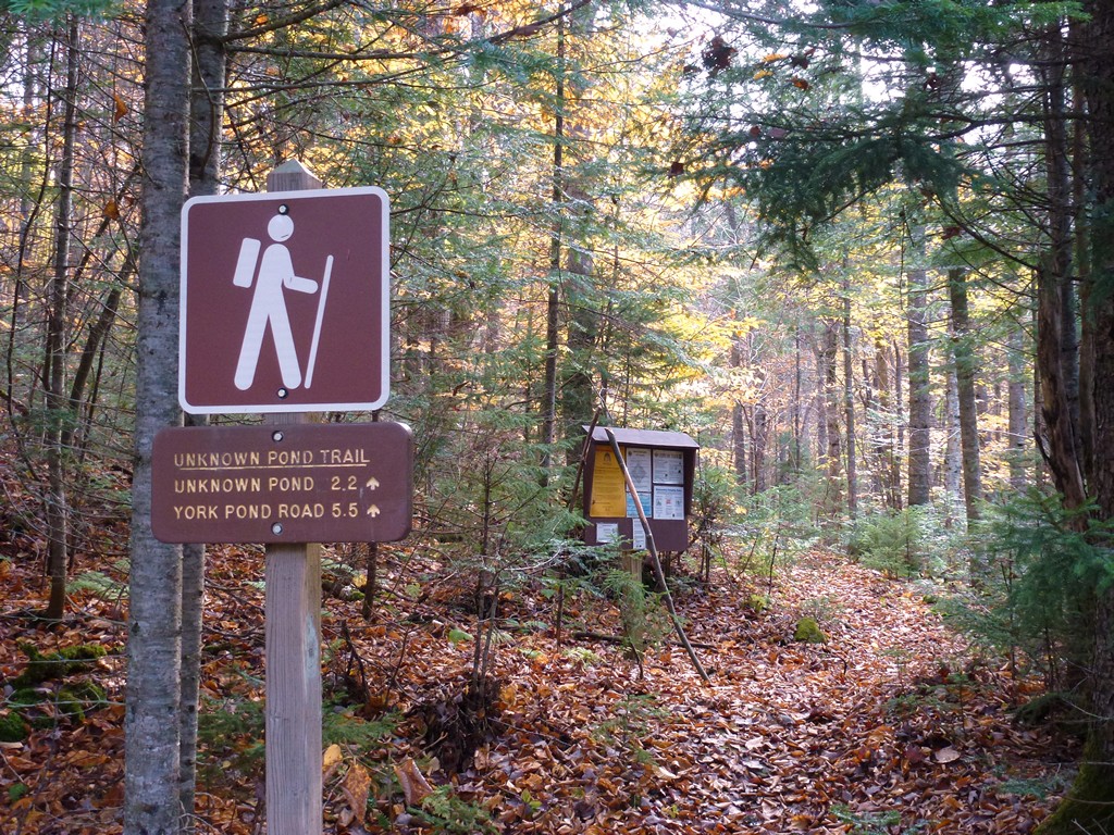
This day hike started at the small parking area near the northern terminus of the Unknown Pond Trail off of Mill Brook Road in Kilkenny, New Hampshire. From the parking area I took the Unknown Pond Trail to Unknown Pond where I picked up the Kilkenny Ridge Trail. I took that to the spur trail that lead to the summit of The Horn. From there I went back to the main trail continued along the Kilkenney Ridge Trail to the summit of The Bulge. For the return route I went back the exact same way.
|
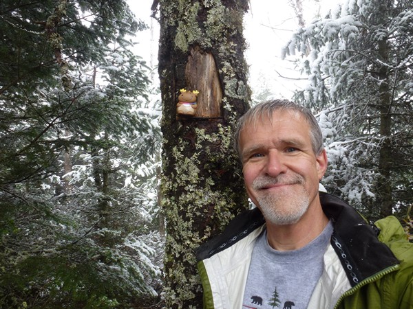
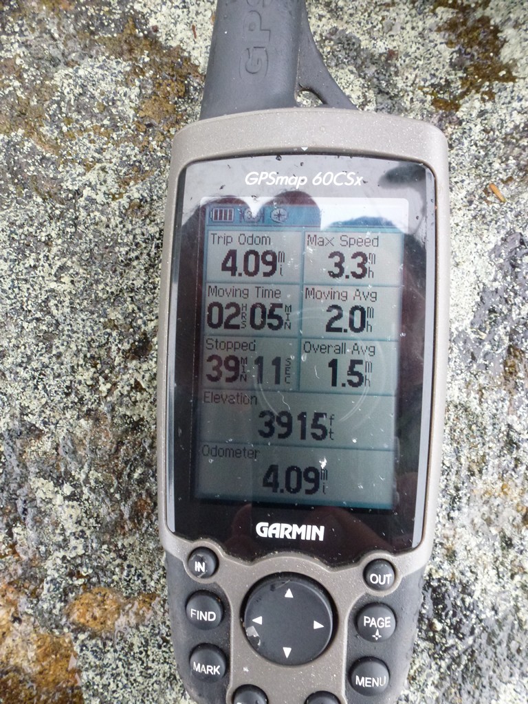
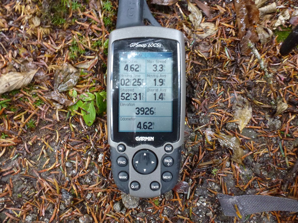
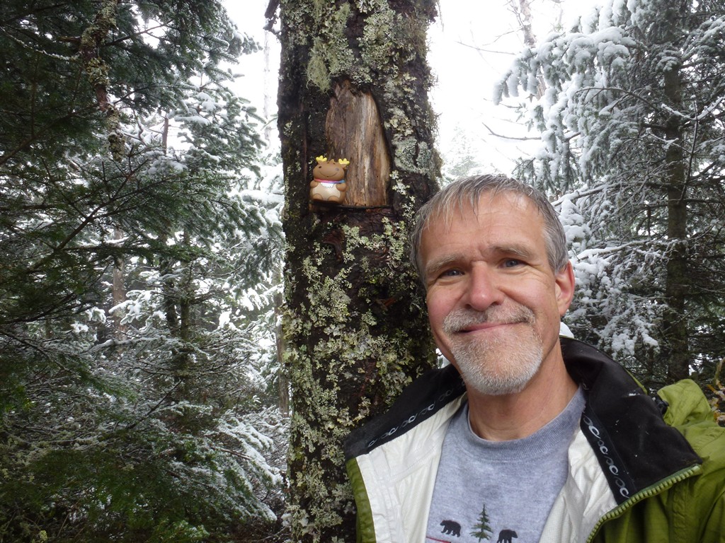
The starting point for this hike was a small parking area near the northern terminus for the Unknown Pond Trail in Kilkenny about 4.5 miles in from New Hampshire Route 110 in Stark. These two peaks would be numbers 61 and 62 on my New England Hundred Highest list. I did not this expect to be a long or particularly difficult hike and started a little late, just before 9am.
I drove through a lot of fog on the way up from Massachusetts, some of it very dense. Franconia Notch was socked in with clouds but the clouds lifted and the fog went away on the other side. Through the clouds I could see snow on the peaks and upper slopes though coming down to perhaps 3000' and that was a little ominous. Uh-oh, I hadn't planned on this. I was hoping it was just in the notch because the weather is always different and more extreme in the notch. When I got a little north of it on the other side the clouds broke apart and the sun came out which was good... but I could also still see snow on all of the other peaks. I didn't have any cold weather gear with me... no gloves, no micro-spikes... and I was really wondering if I should attempt this. This was not going to be a super long hike at only about 8 miles round-trip and the weather was not currently doing anything so I decided to give it a try. I could always turn around if things got bad. There were even a couple breaks of sunshine as I continued the drive towards the trailhead. It was still pretty nice when I started up the trail and I hoped that the clouds would continue to break apart and that eventually the sky would clear.
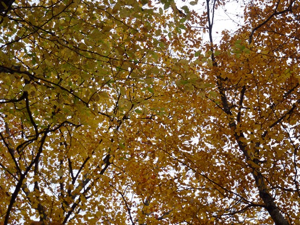
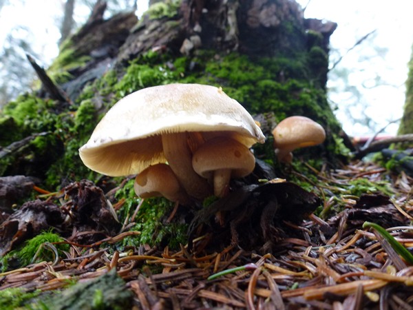
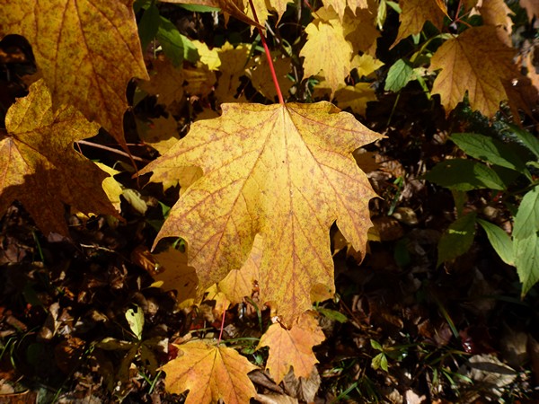
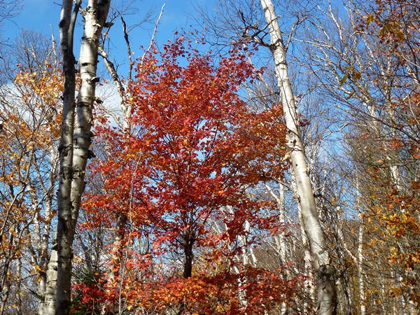
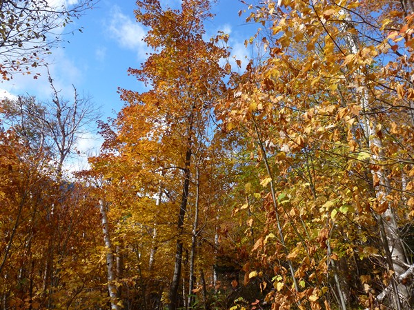
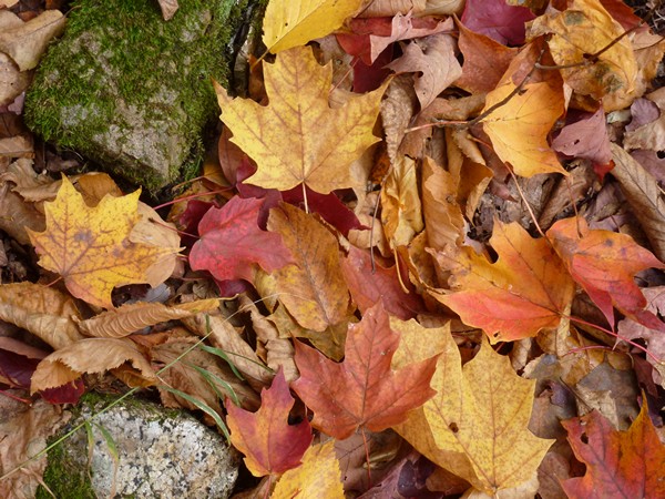
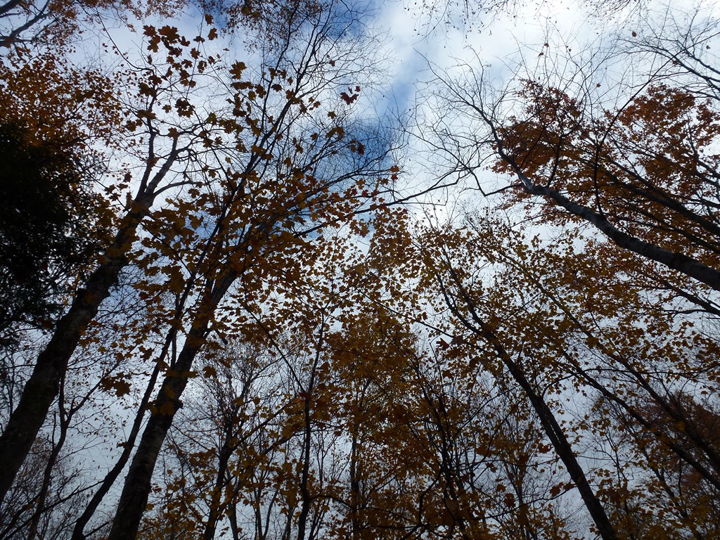
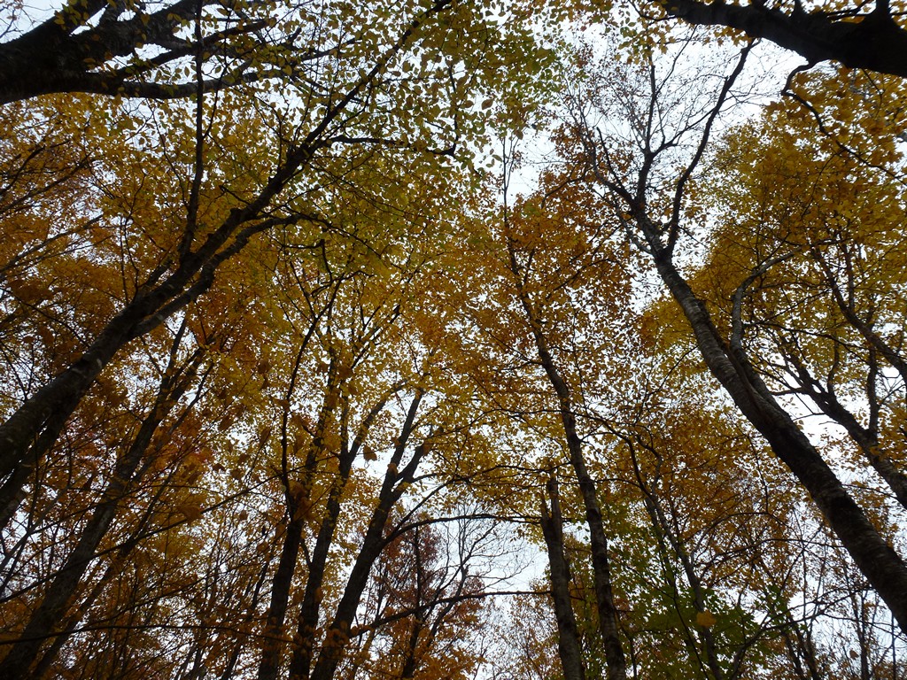
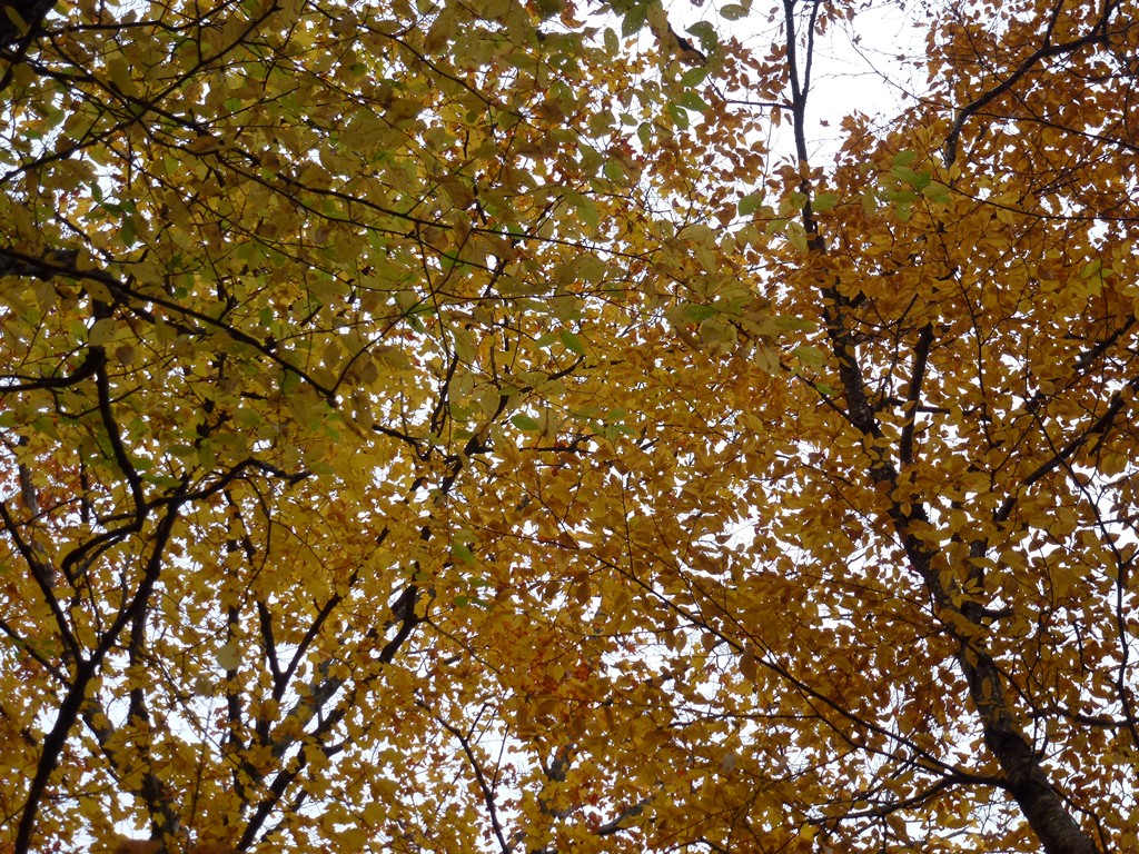
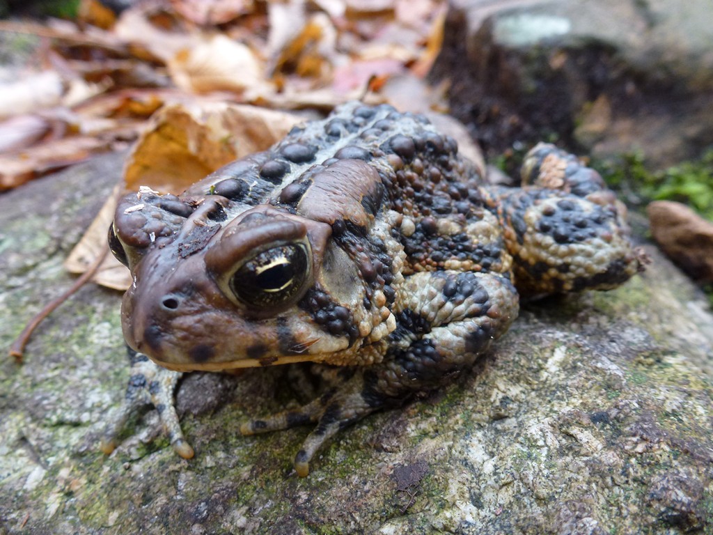
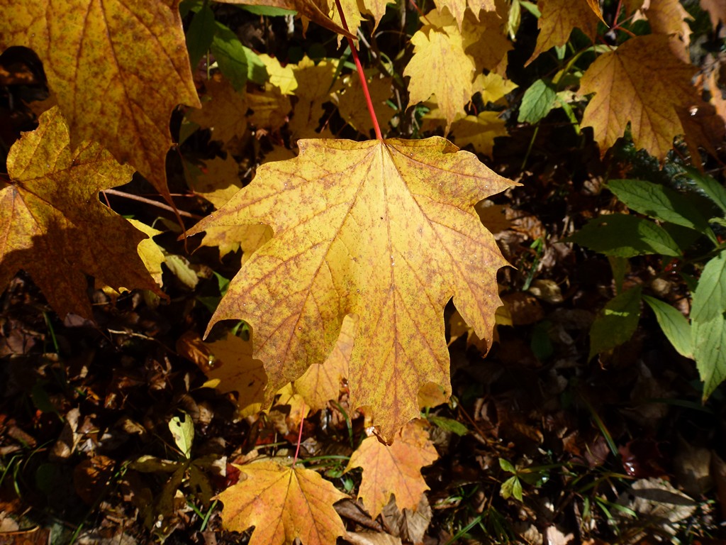
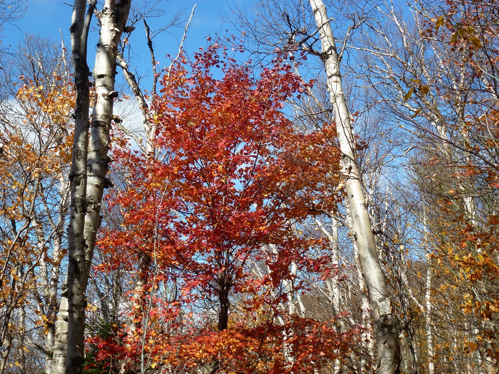
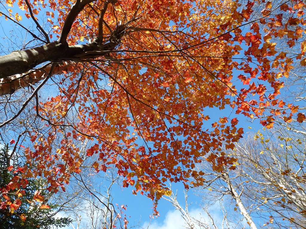
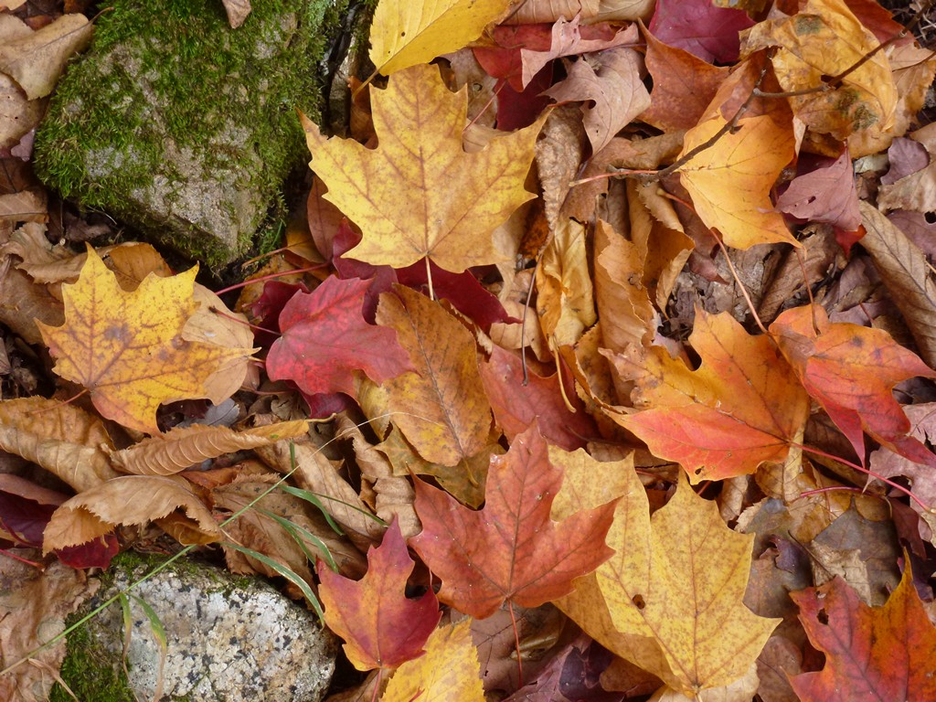
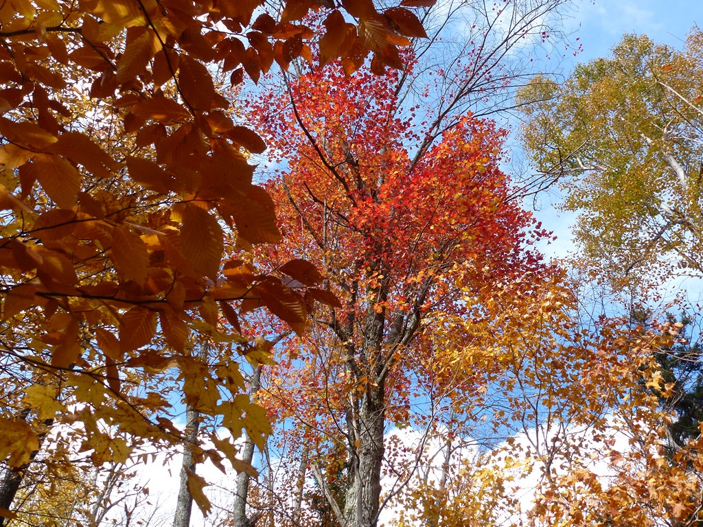
It was chilly but not too bad with the temperature in the mid 40s. I had my sweatshirt on to stay warm and that seemed like enough. I knew the temperature would drop as I climbed higher but it should also warm as the day progressed so I was hoping it would just stay about the same. There were still quite a bit of colorful leaves on the trees and it was very pretty.
|
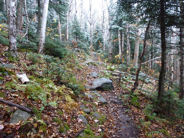
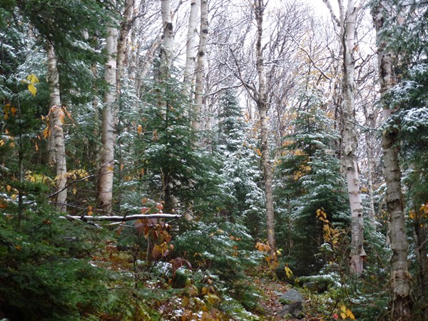
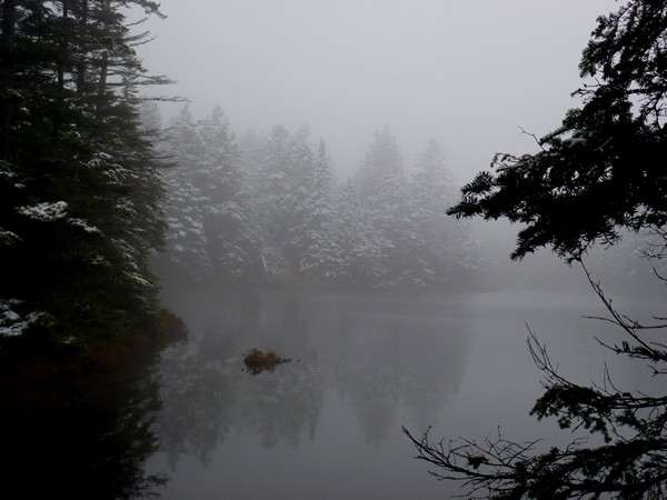
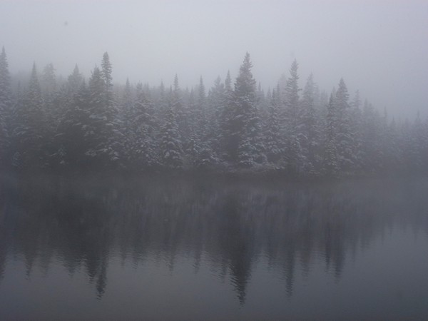
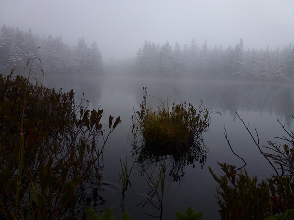
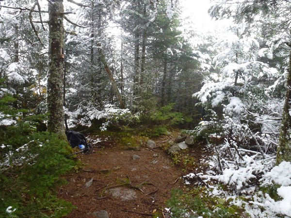
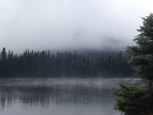
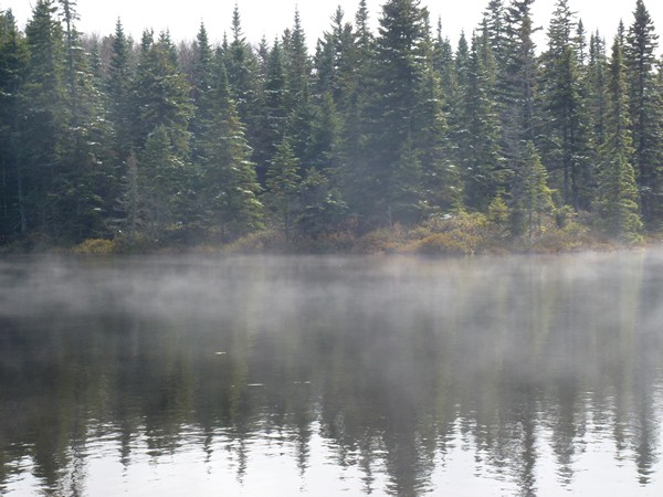
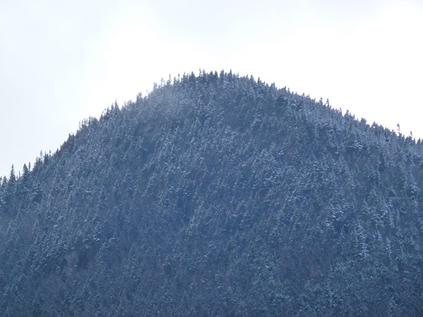
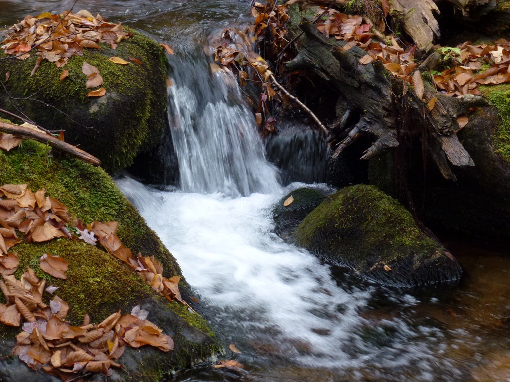
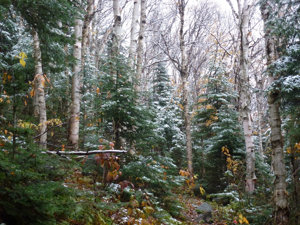
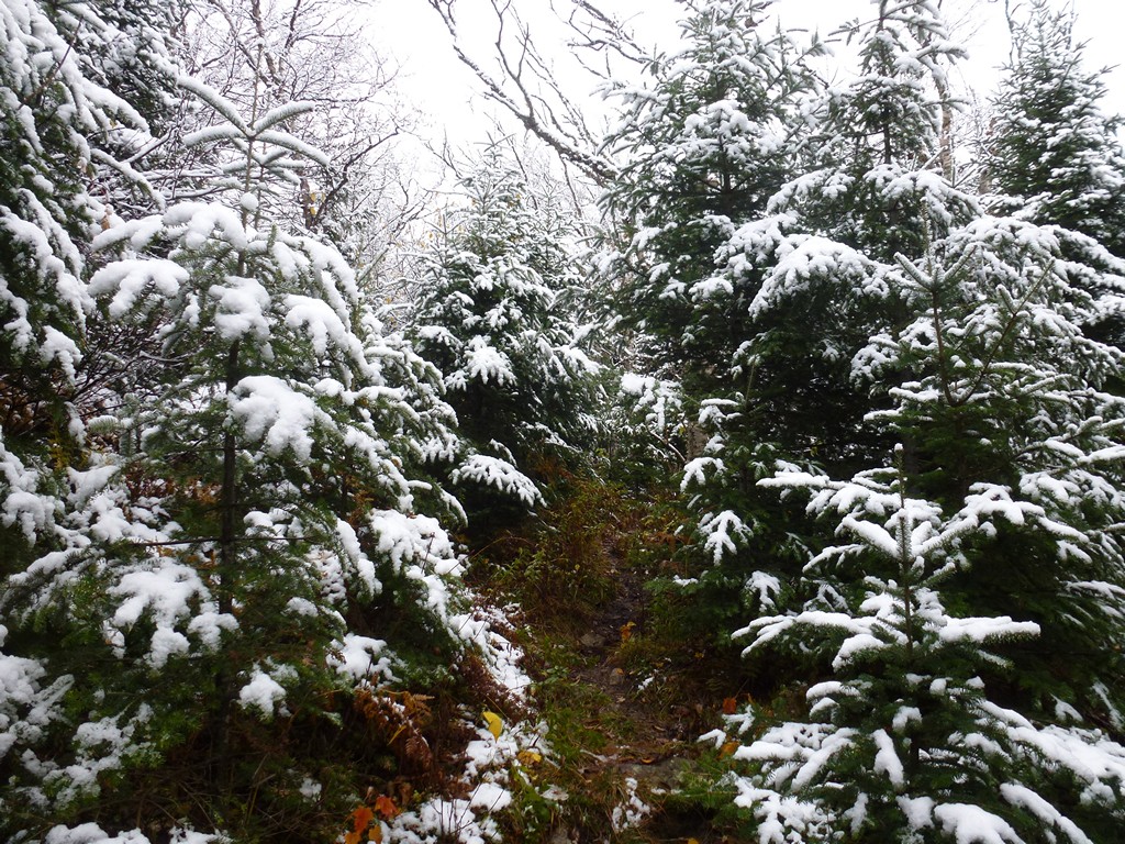
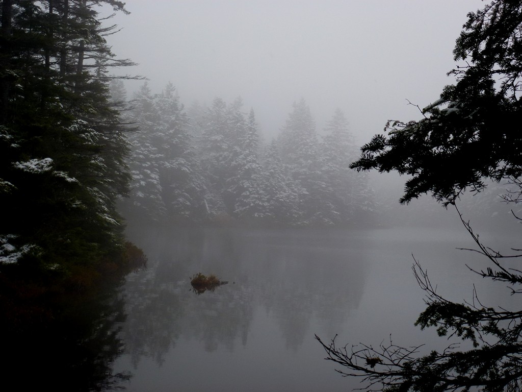
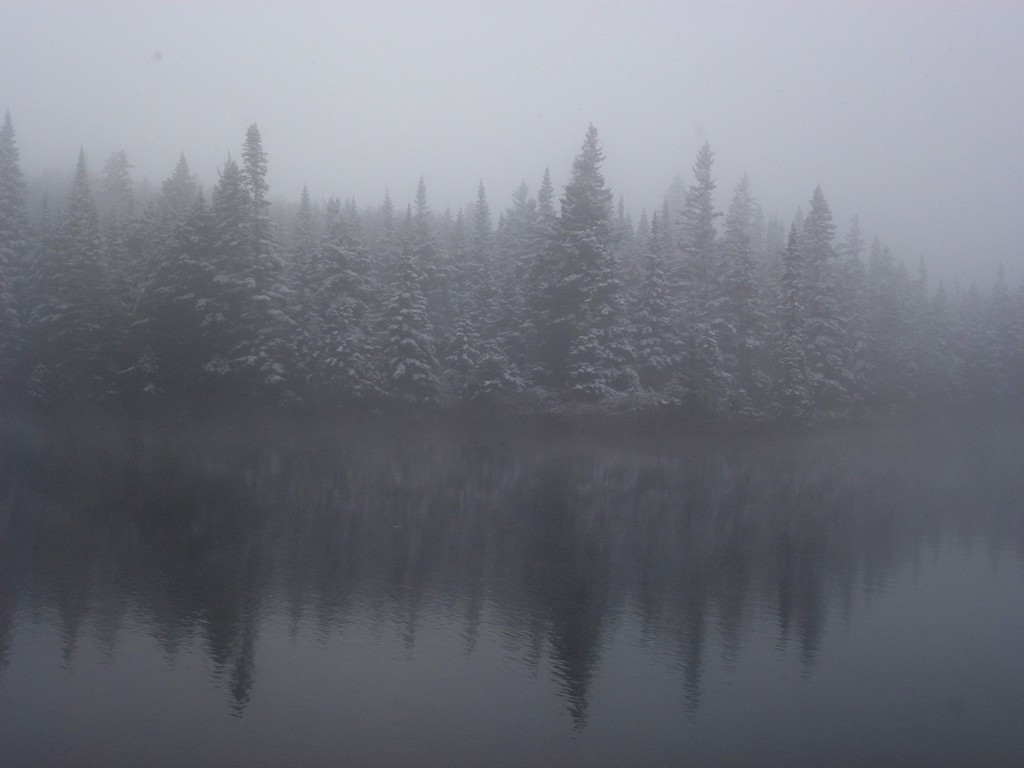
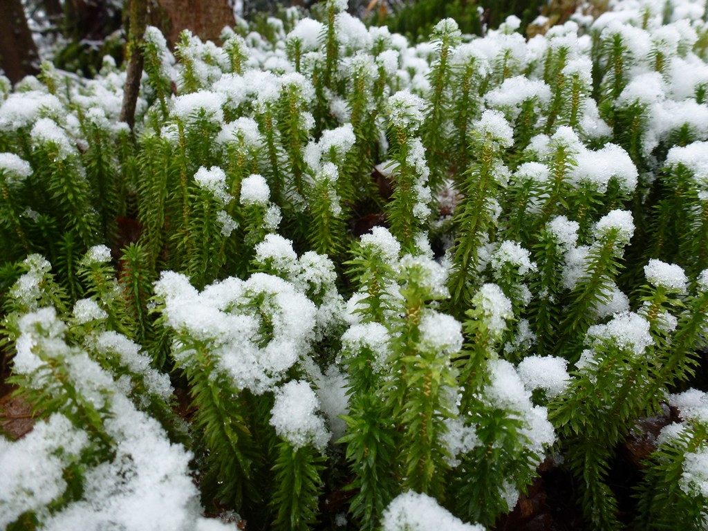
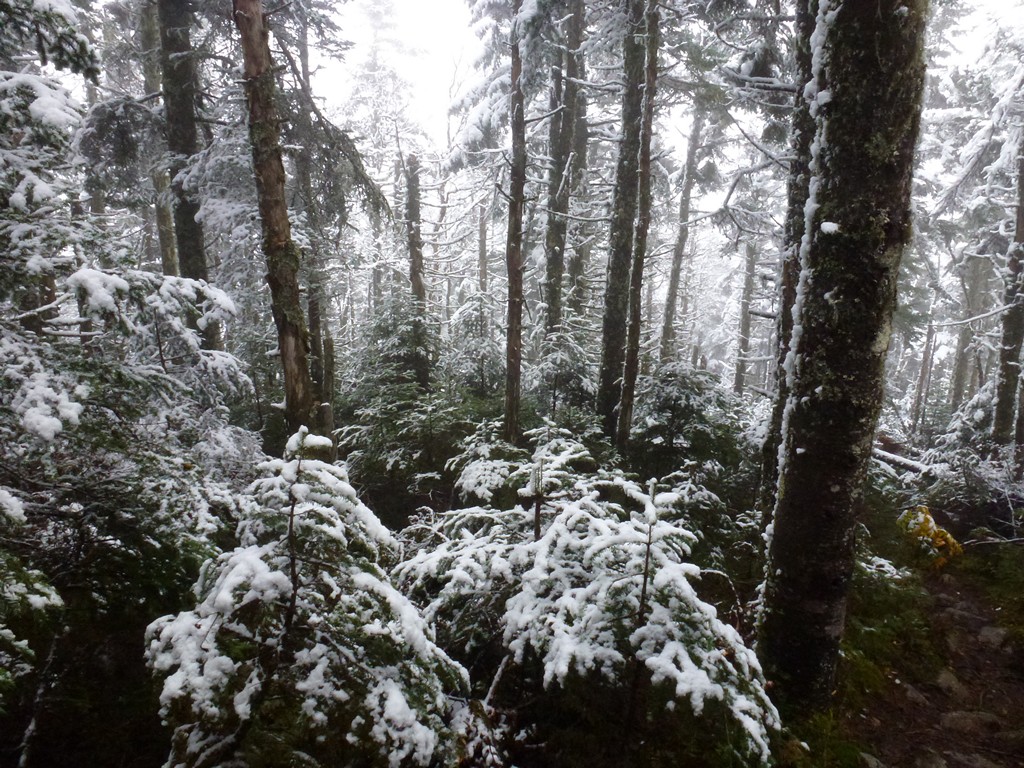
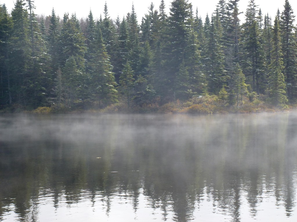
After about a mile up the trail the sun finally went away for good as clouds moved in from the south and after another mile a light drizzle started. The light drizzle did not last long before it turned to light snow and very shortly thereafter I reached the snowline and all of the trees and shrubs were covered with snow. The snow got thicker as I closed in on Unknown Pond and it was almost like a winter wonderland by the time I got there. The bare ground was still too warm for snow though so the trail itself was just wet (and muddy). It was very pretty.
|
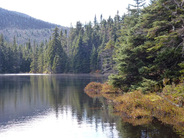
I stopped at Unknown Pond for a granola bar and to take some photos and the snow was very light so I decided to keep going.
|
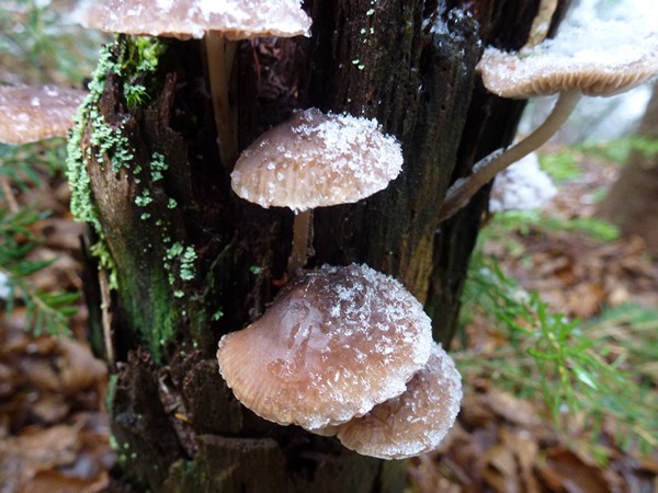
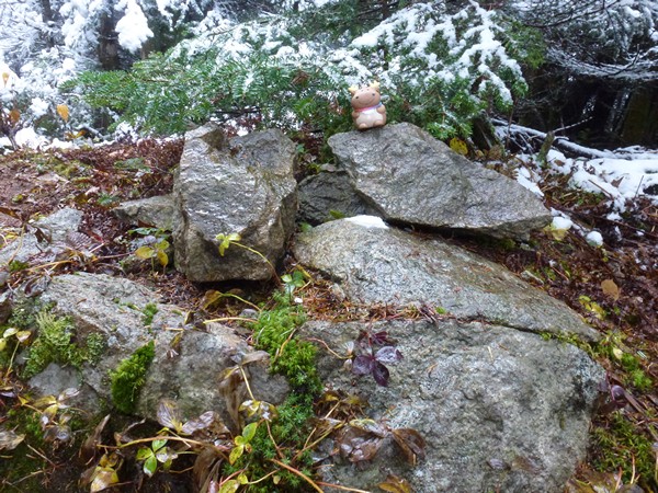
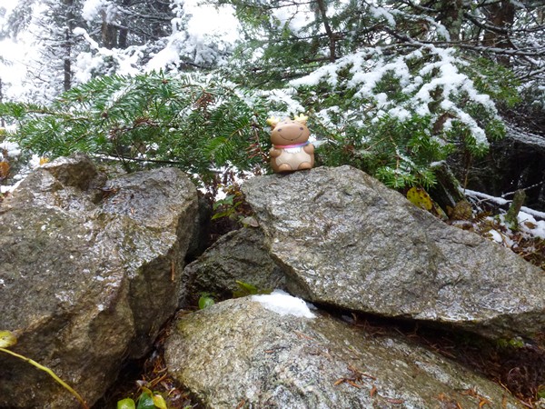
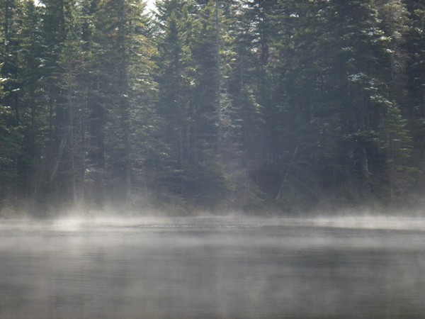
The snow was off and on, sometimes light and sometimes a lot heavier. The wind and warming temperatures also had large clumps of it falling from the trees which was interesting.
|
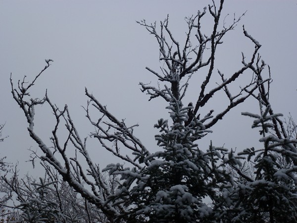
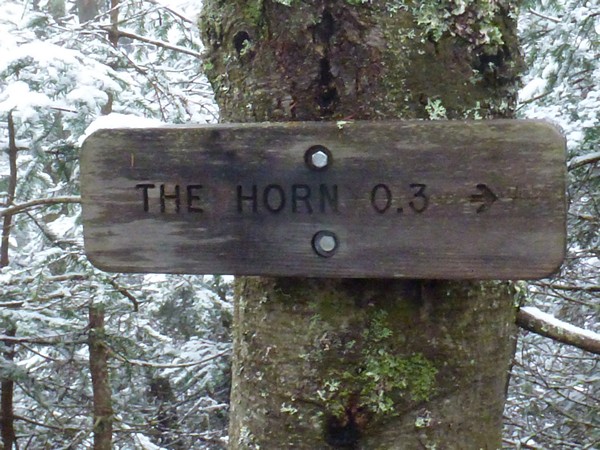
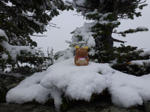
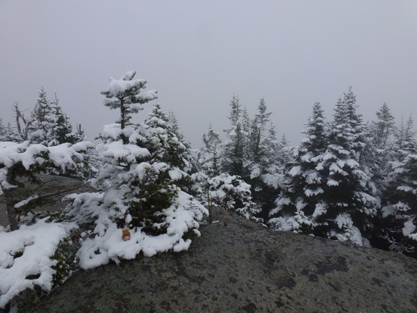
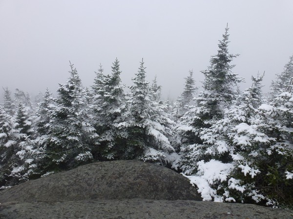
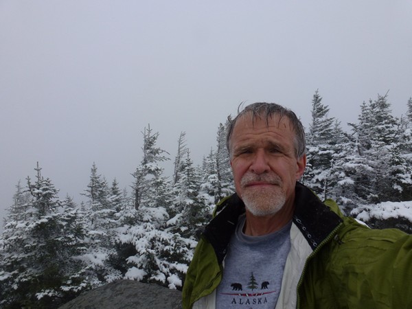
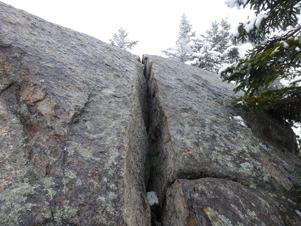
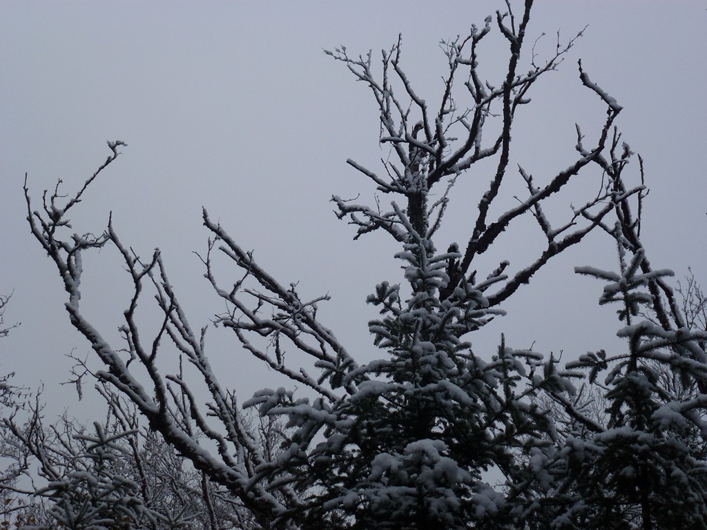
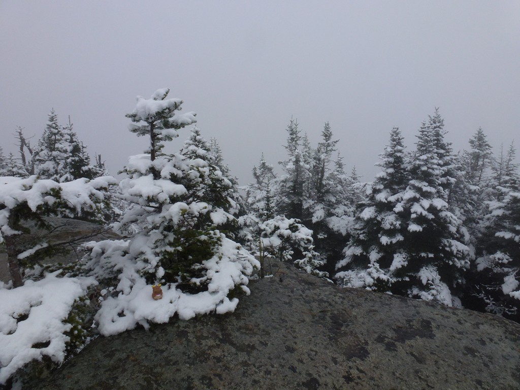
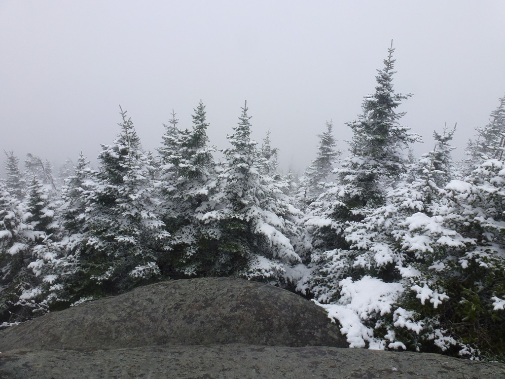
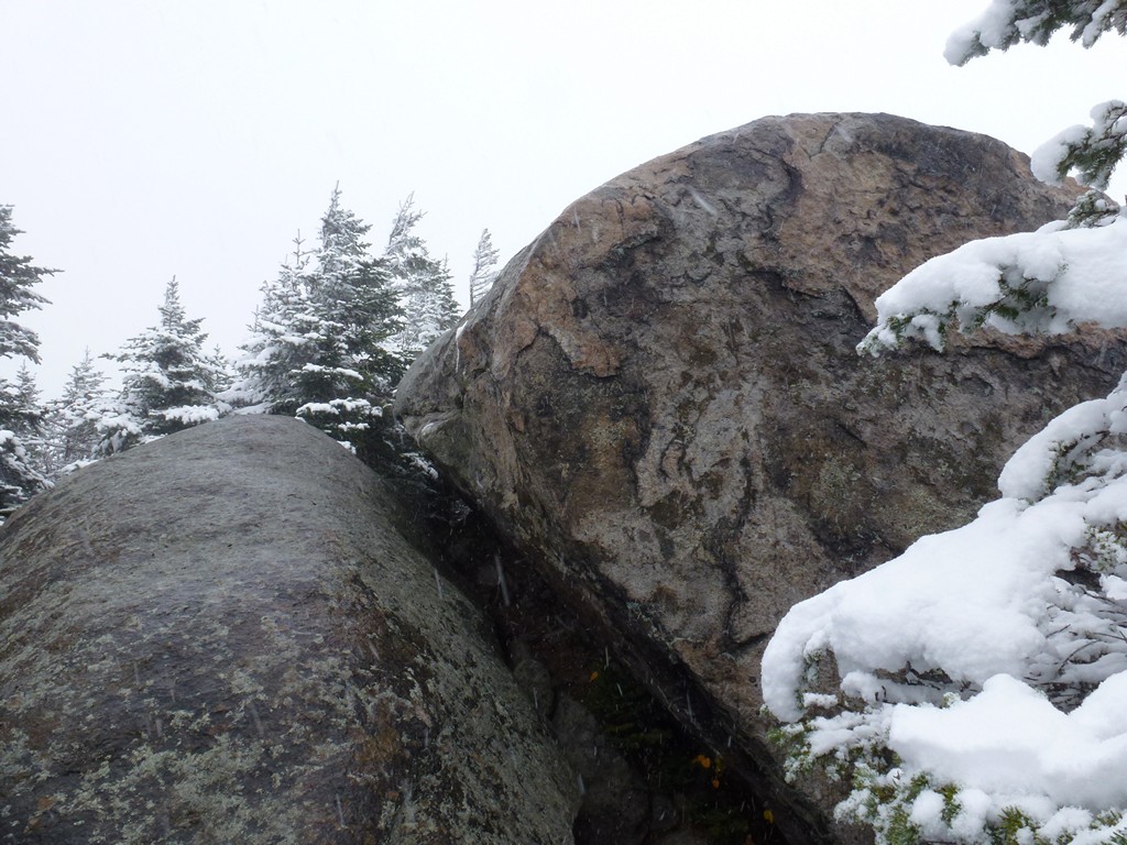
I reach the spur trail to The Horn around 11:15 and was on top of that at 11:30. It was socked in completely as I had suspected though and there was nothing to see. At least the snow stopped while I was up there which was good since it is very exposed. For a while I didn't even think I would make it to the top since it was all very steep, bare rock... and very slippery. I finally found a crack on one side that I was able to wedge my boots into to get up. I didn't stay there long as it was windy and cold. It was beautiful in an eerie sort of way though.
|
I made it back down to the main trail by 11:45 and was on top of The Bulge about a quarter of a mile away at just a few minutes after noon. I didn't stay there long either as it was a treed summit and there was nothing to see even if I could see anything. I took some photos and munched another granola bar before heading back towards Unknown Pond.
|
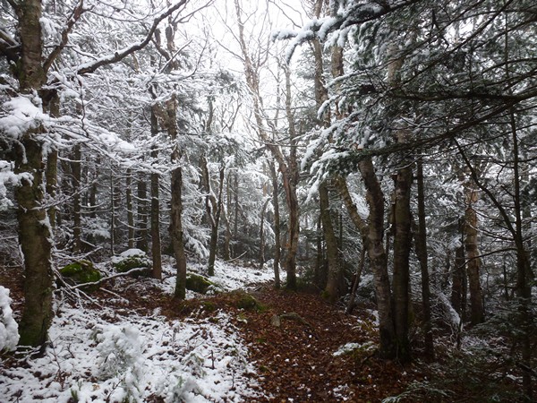
The snow stopped completely about halfway back and the clouds started to break apart and the sun would peek out from time to time. I contemplated going back up to The Horn to see if it would clear but it was still very cloudy so I gave up on that idea quickly. The temperature was going up fast now and the snow was melting and falling from the tress with reckless abandon. It was raining again now without really being raining and I could not count how many times I got hit by huge clumps falling from the trees. It wasn't bad when I had my hood on but sometimes I got too warm and would put the hood down for a while to cool off and then they would go down my back. That would cool me off very fast.
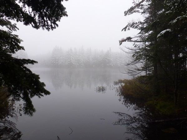
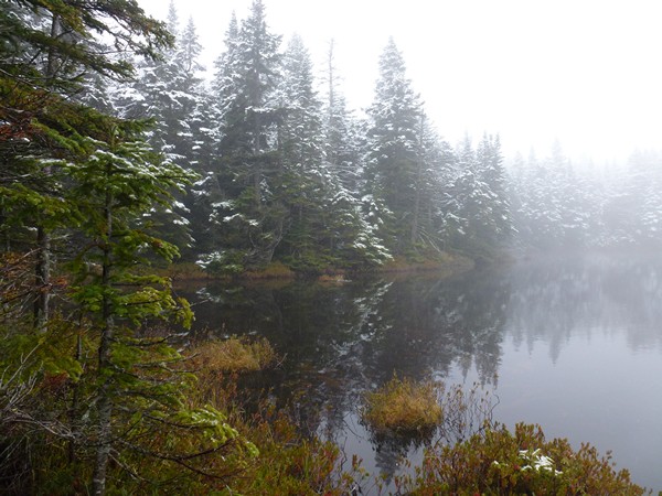
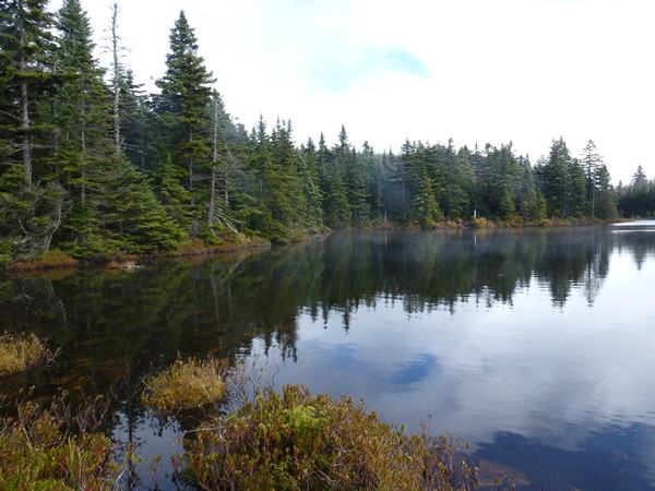
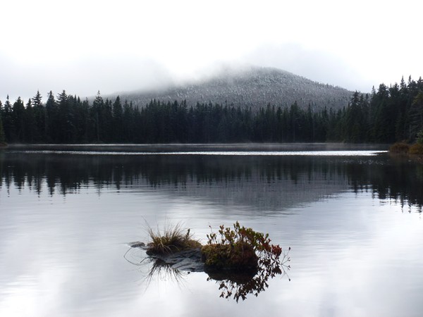
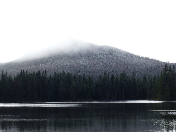
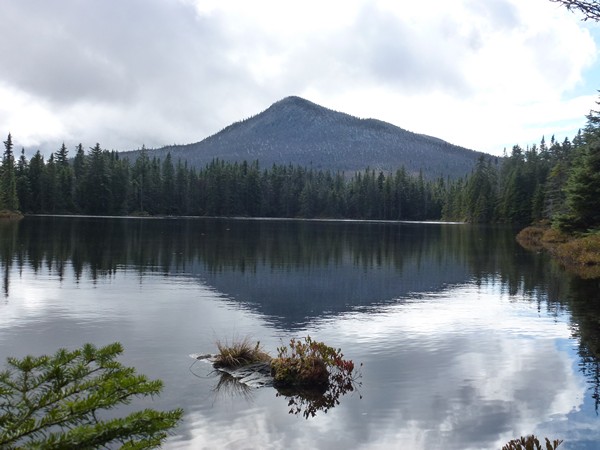
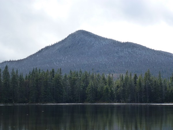
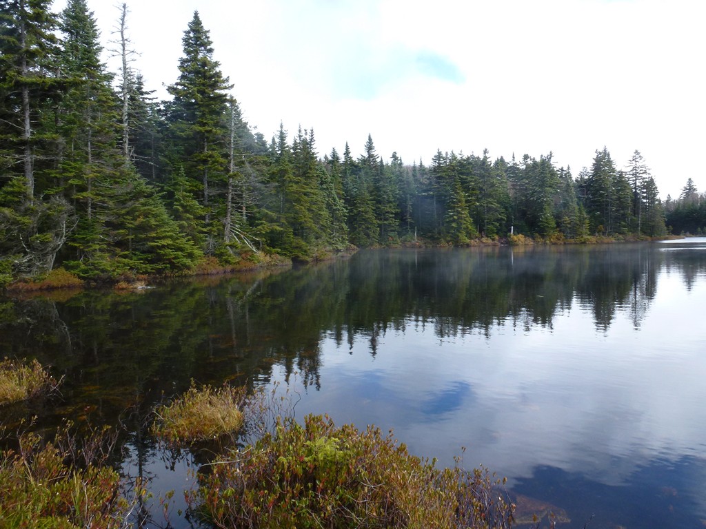
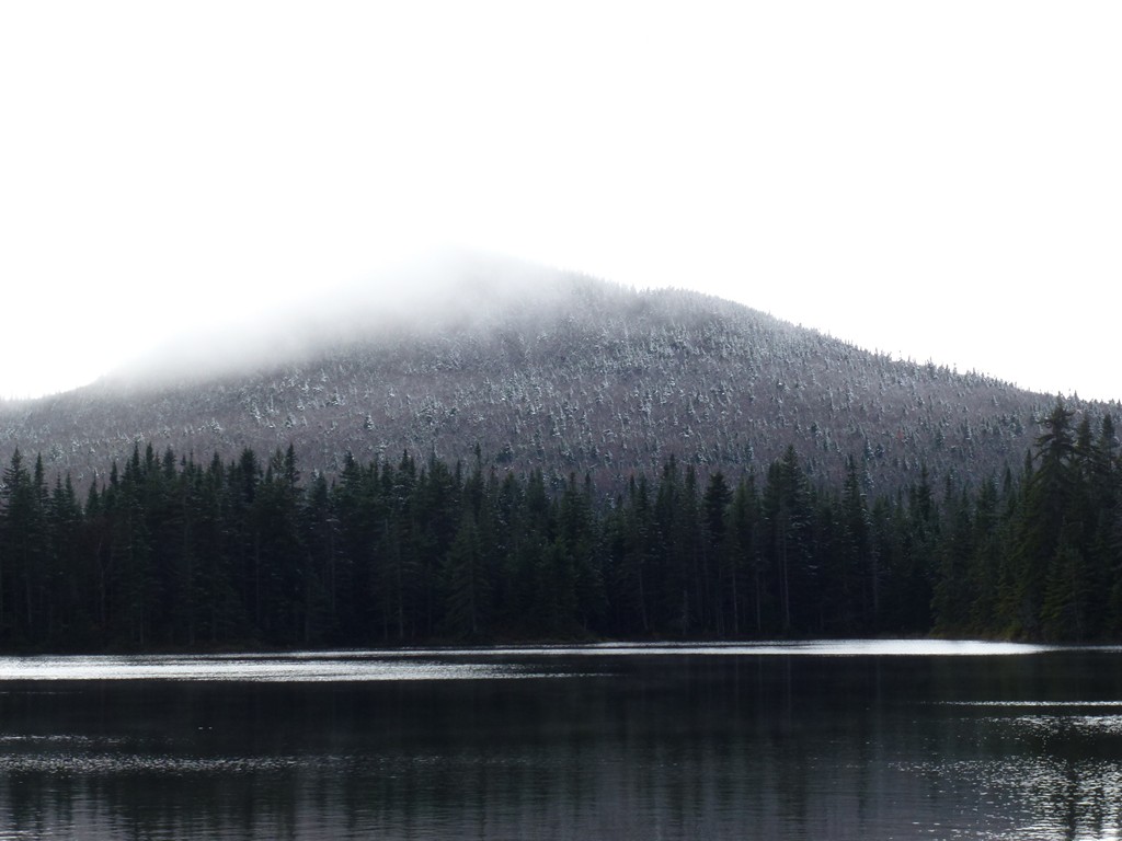
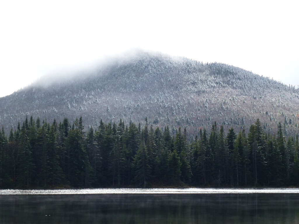
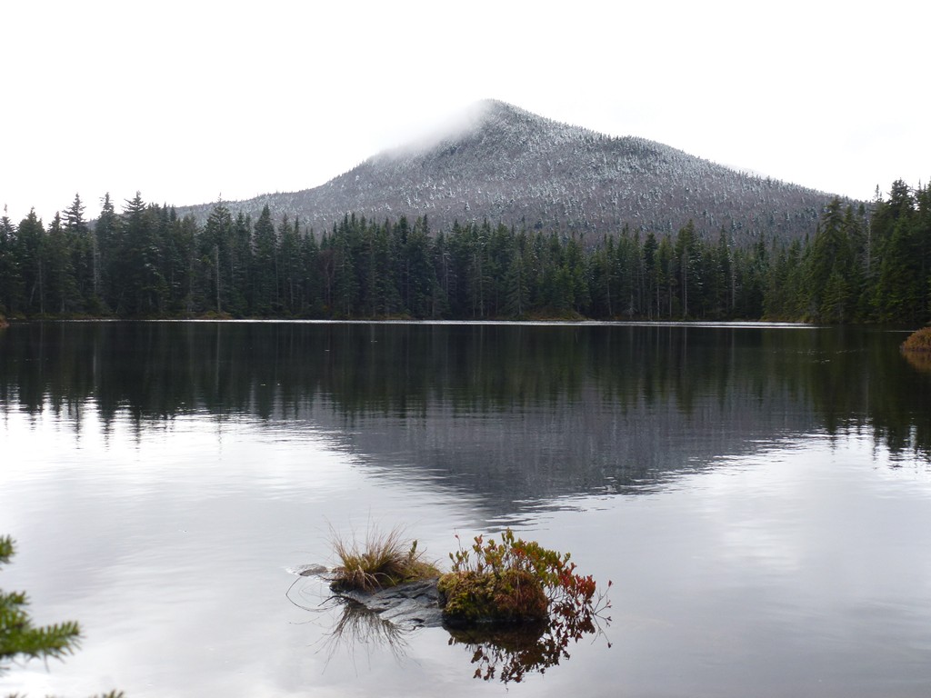
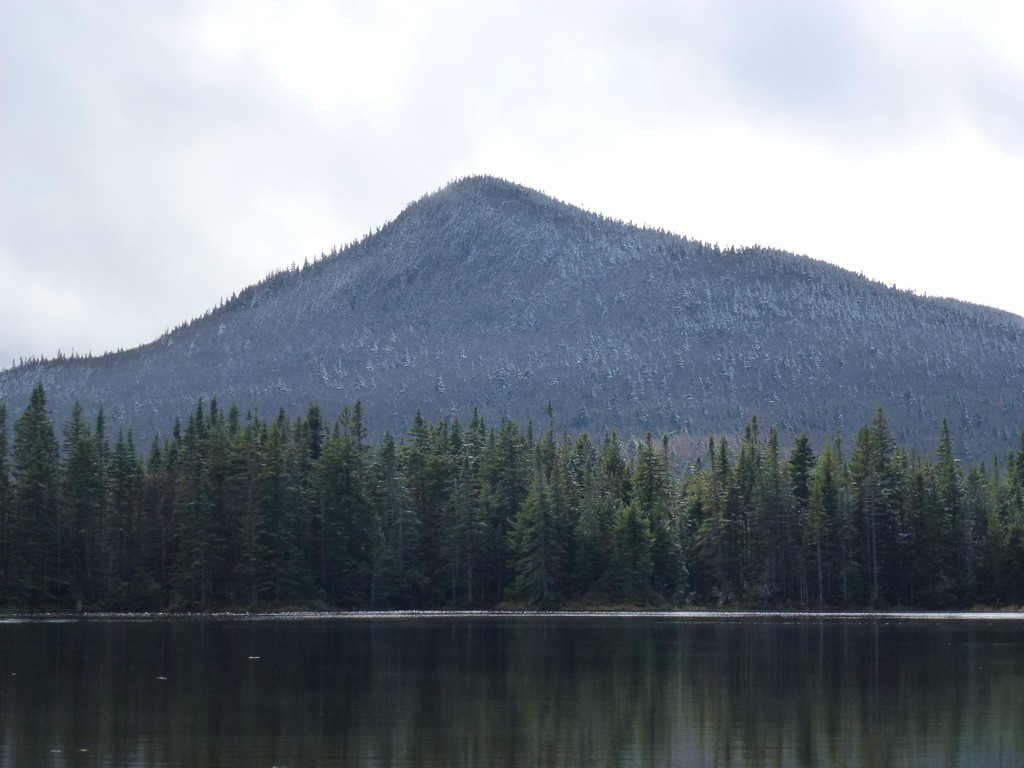
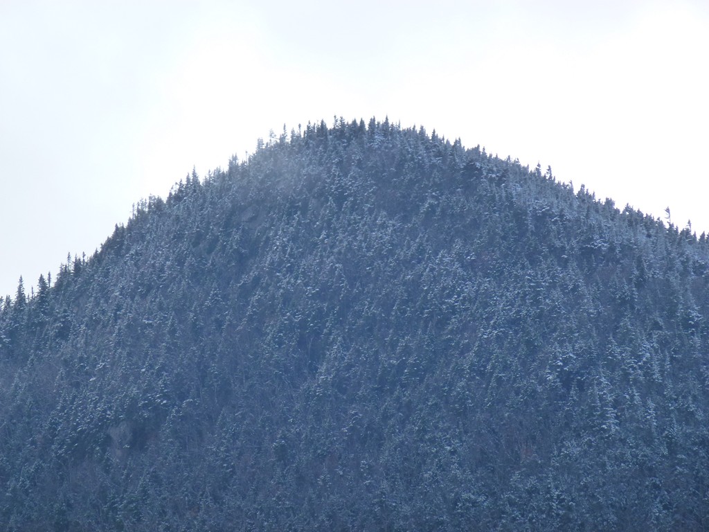
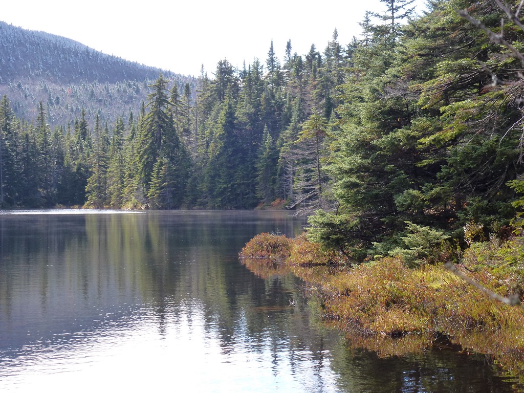
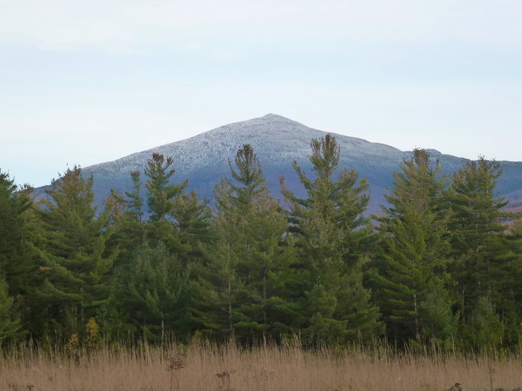
It was beautiful when I got back to the pond and I stopped there to have lunch and just watch the weather clear. Eventually the clouds broke away completely from The Horn and I had a nice view of it from the other side of Unknown Pond.
|
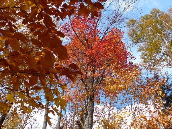
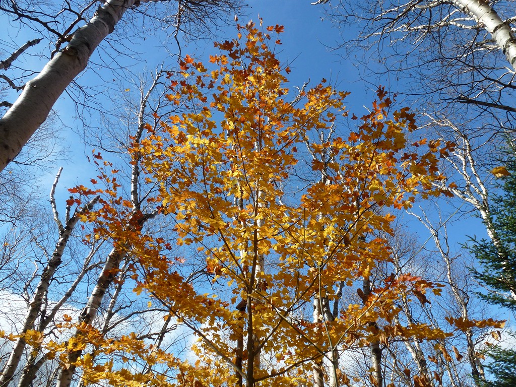
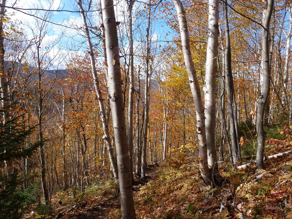
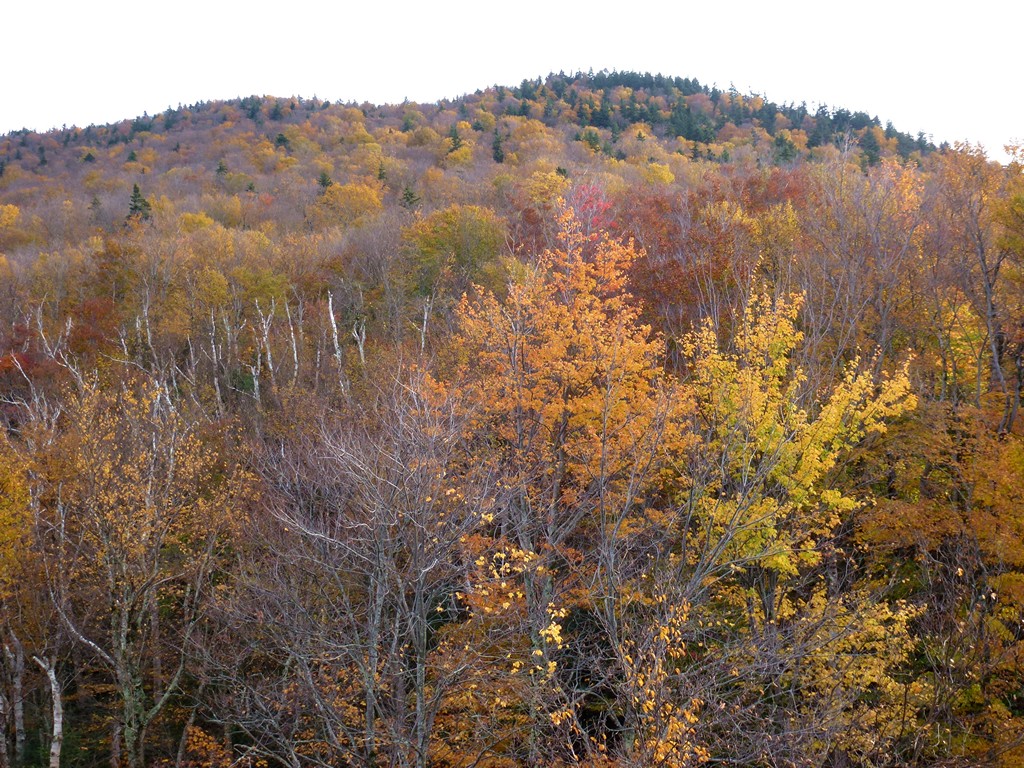
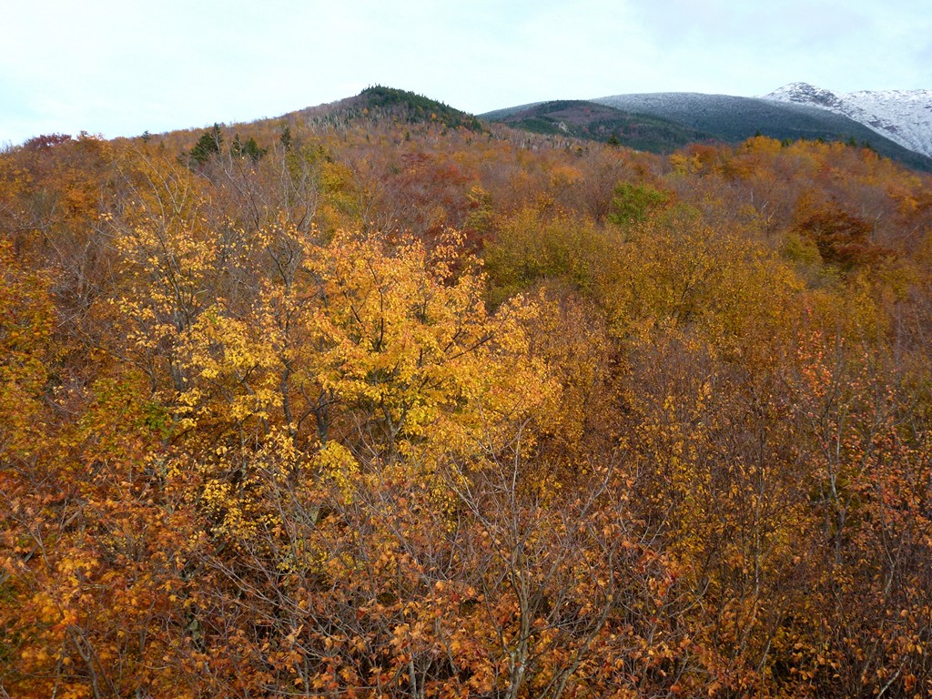
There was lots of blue sky when I started back down the trail from there and it was a beautiful afternoon. There were still quite a few colorful trees left in these parts too... lots of bright yellow bitch trees which contrasted nicely with the deep blue sky.
|
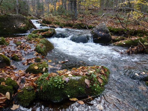
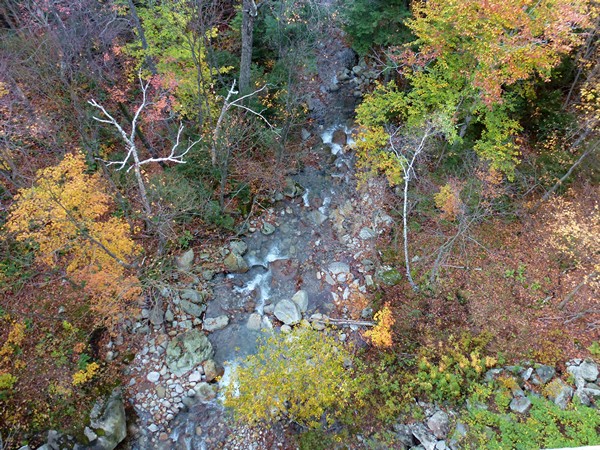
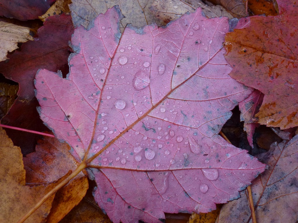
When I finally got back to Mill Brook I knew I was almost back at the parking area since I was not along this for very long on the way up. I made a couple of brief stops for photos along this stretch and before I knew it I was back at the trailhead, almost exactly at 3pm.
|
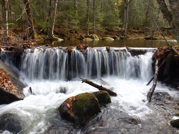
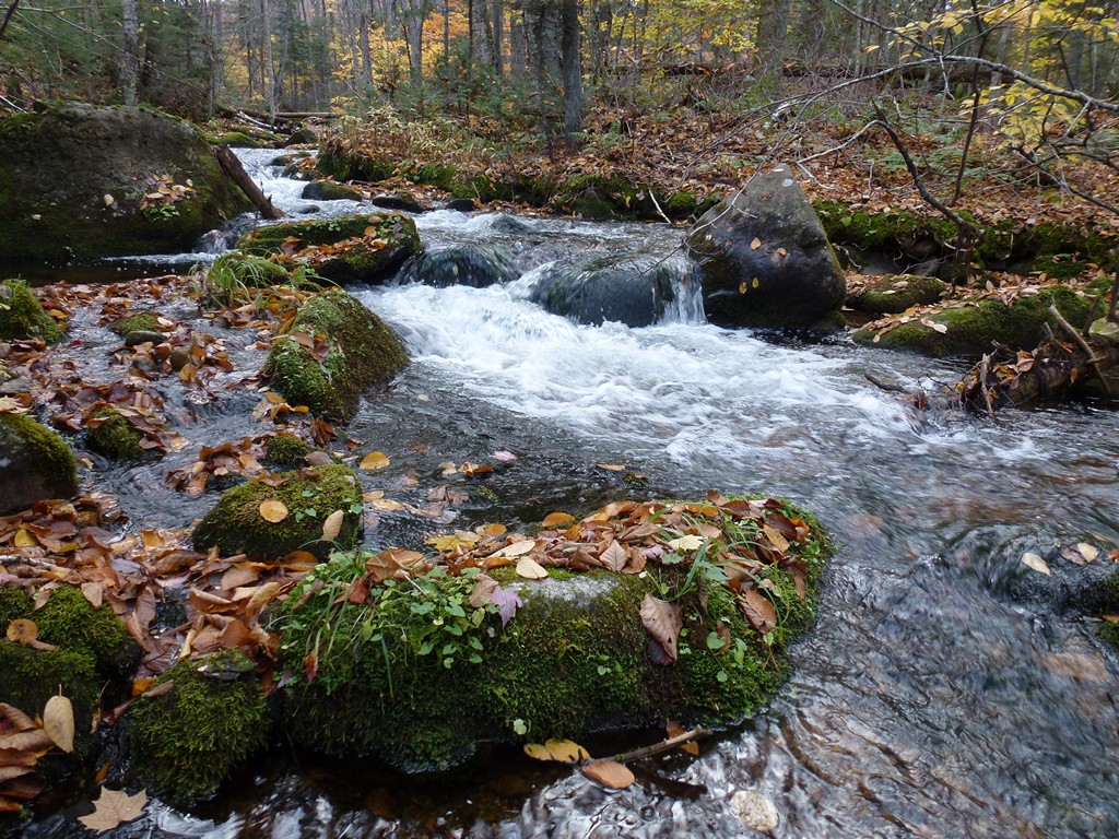
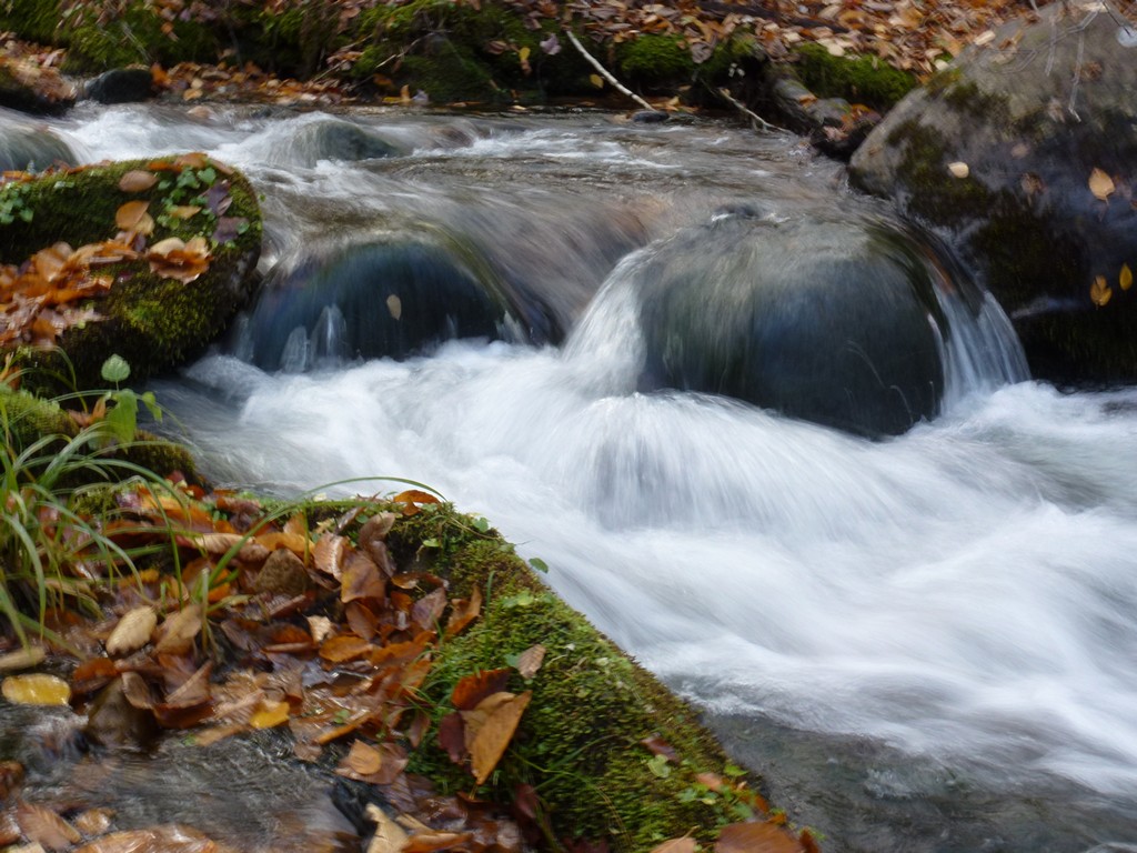
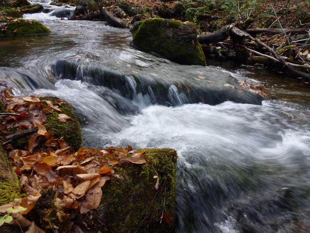
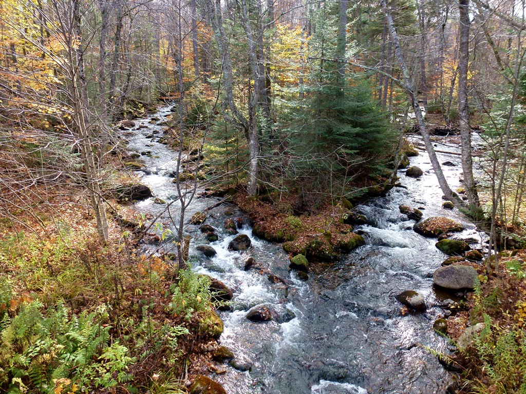
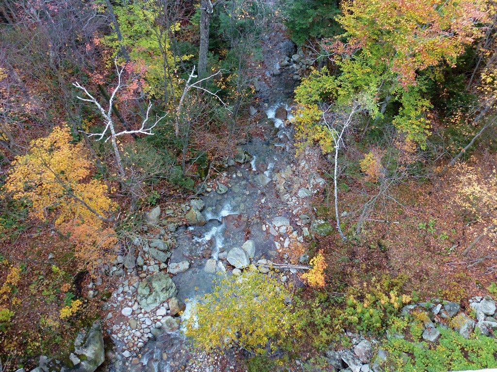
I saw a bigger waterfall on the other side of the road from where the trail came out and decided to go down to get some photos of that. When I got down there it did not look like a natural waterfall and looked more like an old dam that had just silted up and overflowed. Since the brook was called Mill Brook I wondered if there was in fact a mill located here at one time.
|
I made a couple of short stops on the way home since it had turned out to be such a beautiful afternoon.
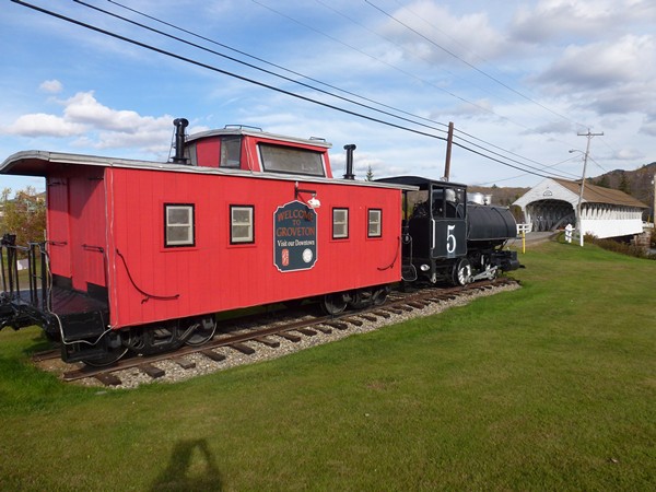
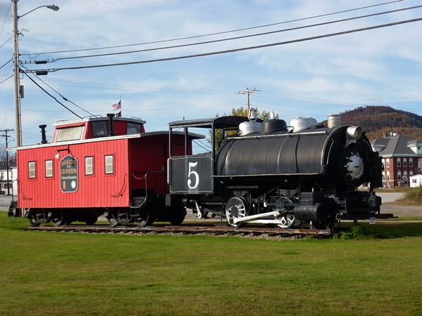
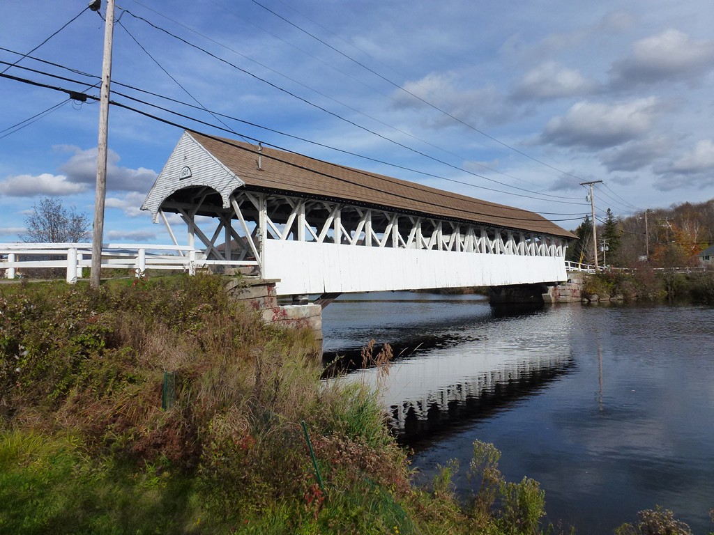
I stopped in Groveton to get some photos of the covered bridge and old logging train there.
|
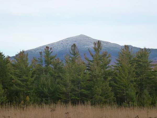
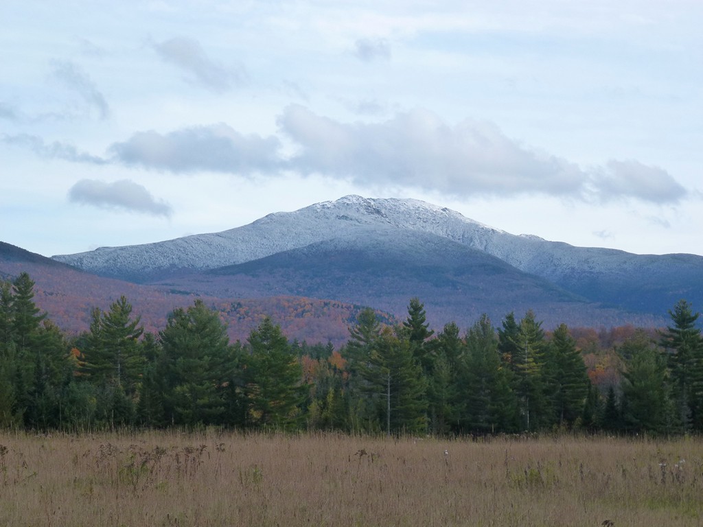
I also stopped along the road at one point to get some photos of Mount Lafayette and Mount Garfield with a little snow on top.
|
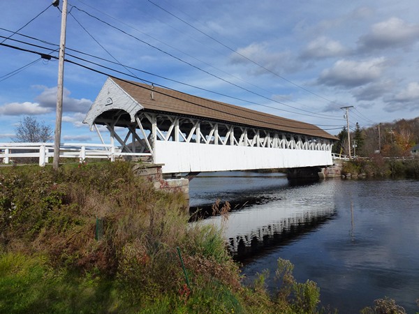
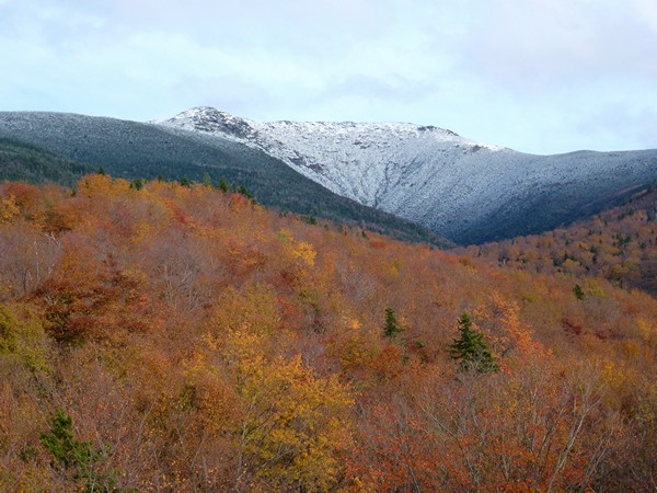
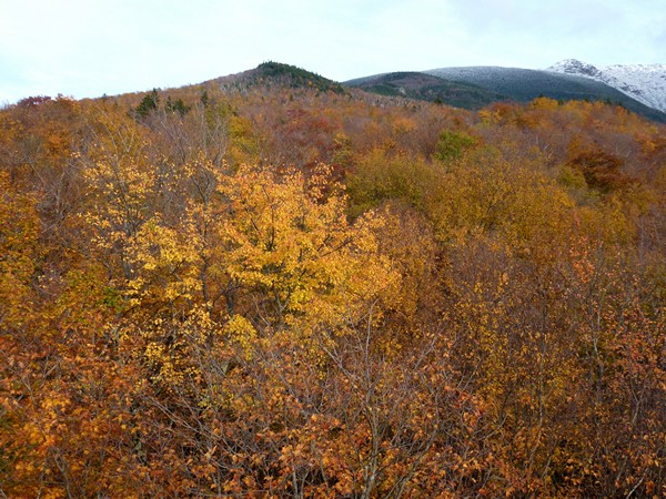
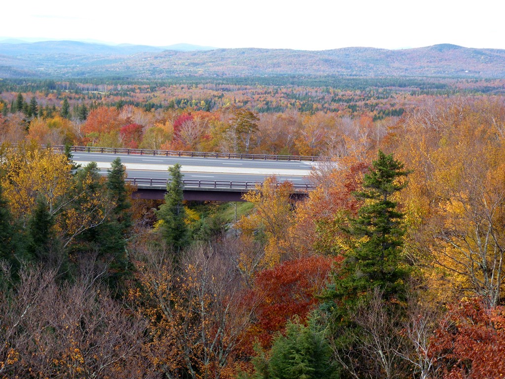
My final stop was at an overlook on an old bridge over Franconia Brook at the northern egde of Franconia Notch.
|
It was a beautiful day for a hike in spite of the snow. The snow wasn't bad at all and it was not an issue in the least as far as the trail itself was concerned. I was a little disappointed at not being able to see anything from the top of The Horn since from what I have heard the view from up there on a nice day is pretty incredible. It was nice to see a cloudy/foggy Unknown Pond and then to come back and see that with the fog and clouds breaking up and the sun coming out. The final hike from there back to the trailhead was beautiful.
|
|
|---|
|
|---|


