|
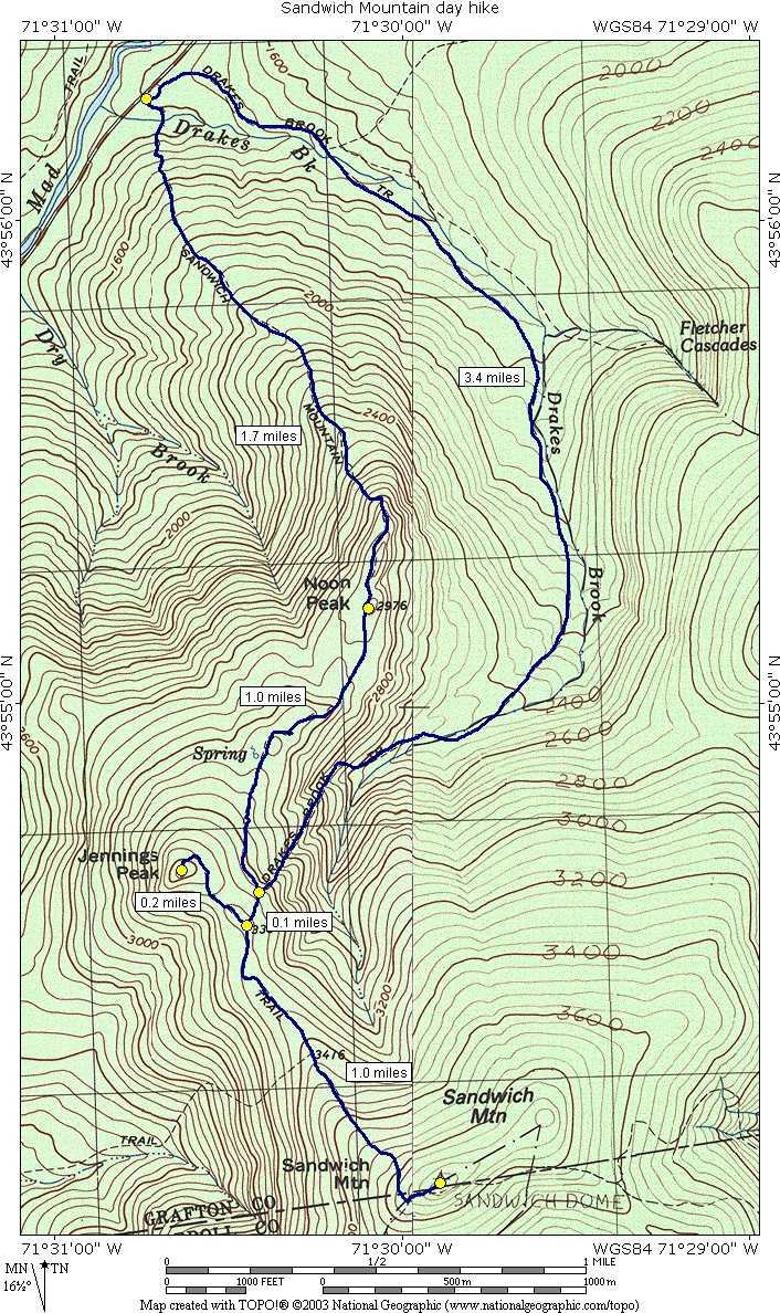
Sandwich Mountain day hike |
|---|
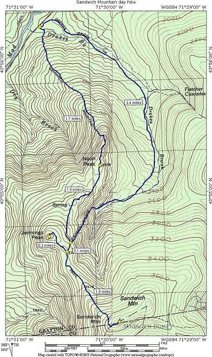
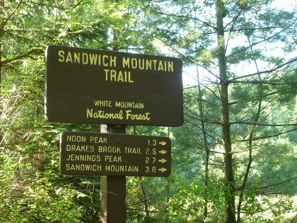
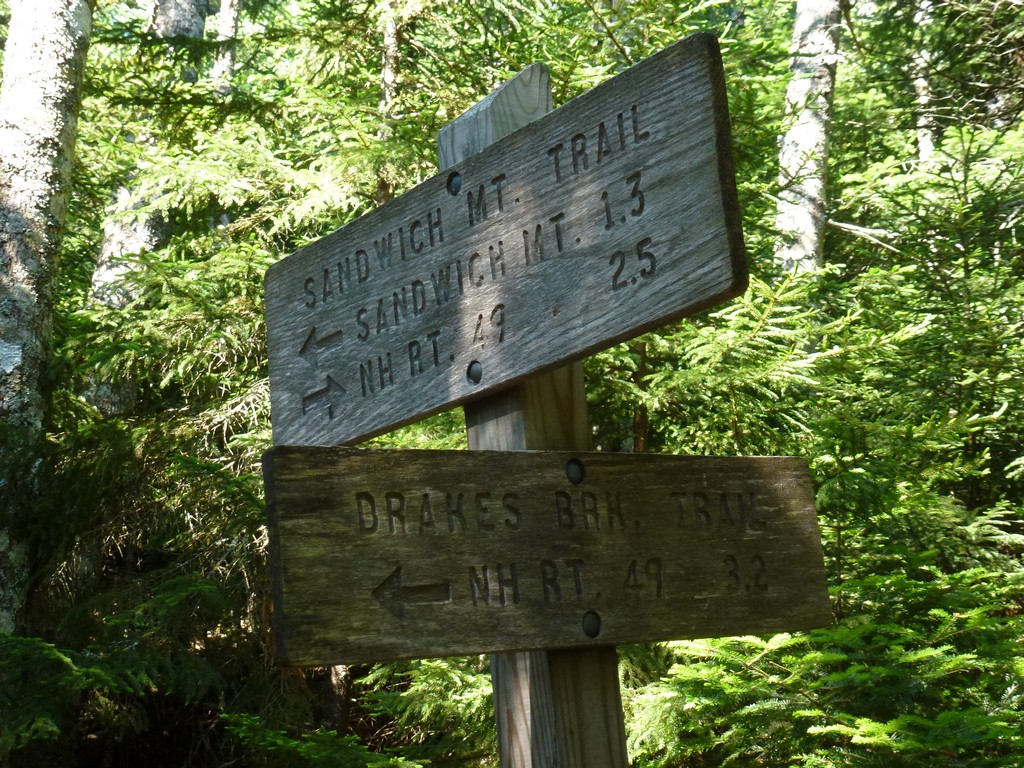
This day hike started at the parking area for the Sandwich Mounatain trailhead on the NH Route 42, a little more than 2 miles south of the Waterville Valley ski area. From the parking area I took the Sandwich Mountain Trail to the Jennings Trail to the summit of Mount Jennings first. From there I returned to the Sandwich Mountain Trail and the continued up that to the summit of Sandwich Mountain. For the return route I went back down the Sandwich Mountain Trail to the Draes Brook Trail and following that back to the parking area.
|
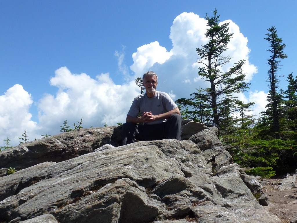
The starting point for this hike was a small parking area on NH Route 42 in Waterville Valley, a little more than 2 miles south of the Waterville Valley ski area. This would be peak #52 on my New England Hundred Highest list.
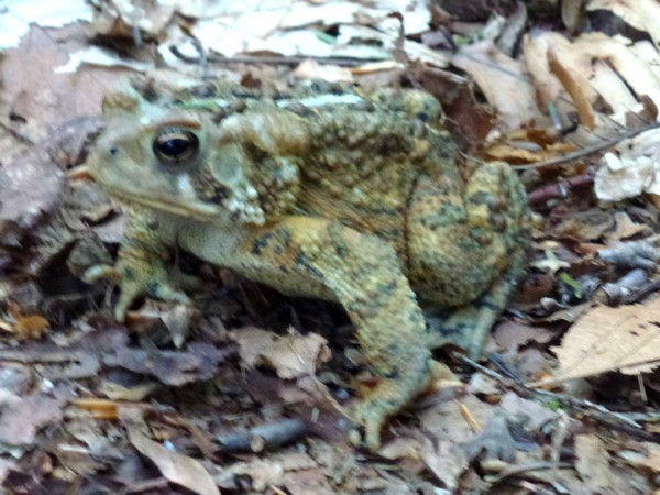
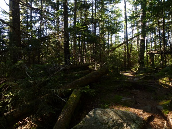
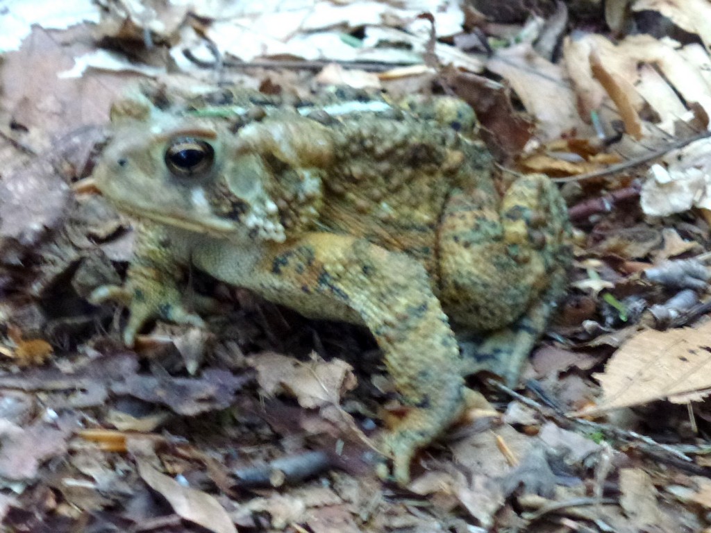
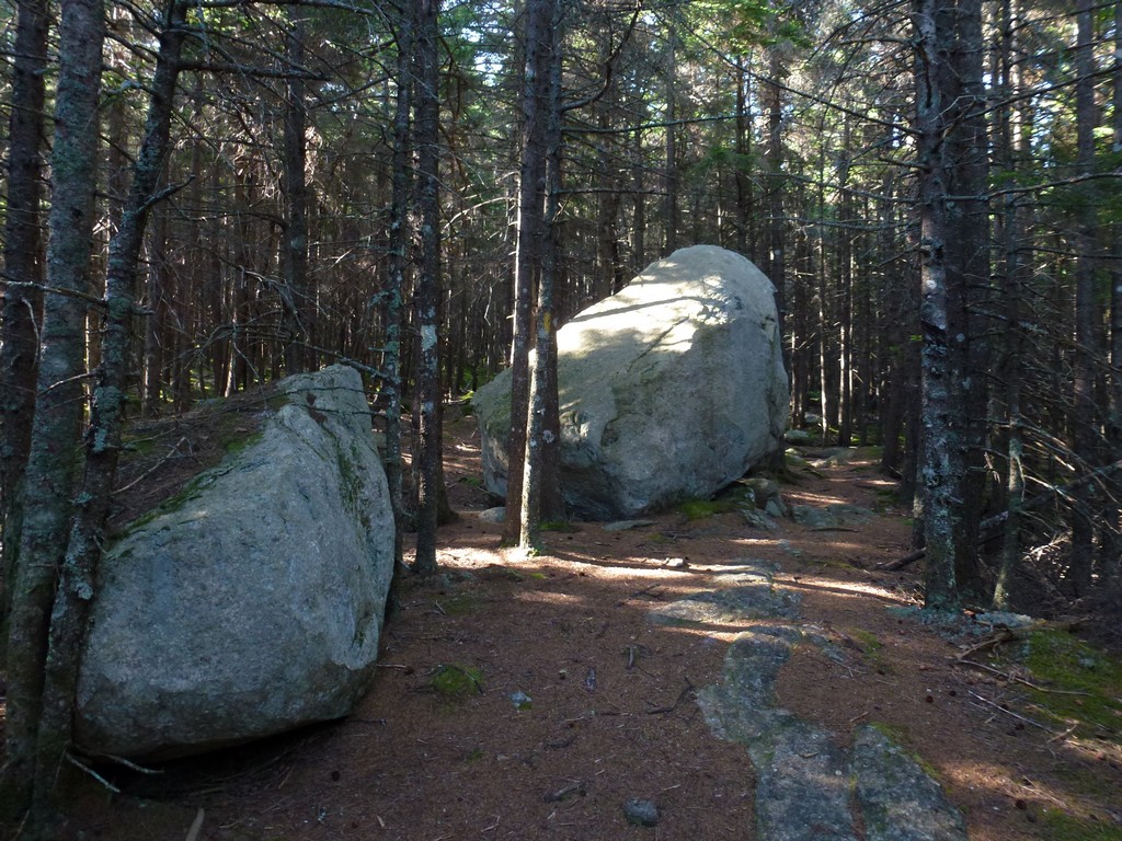
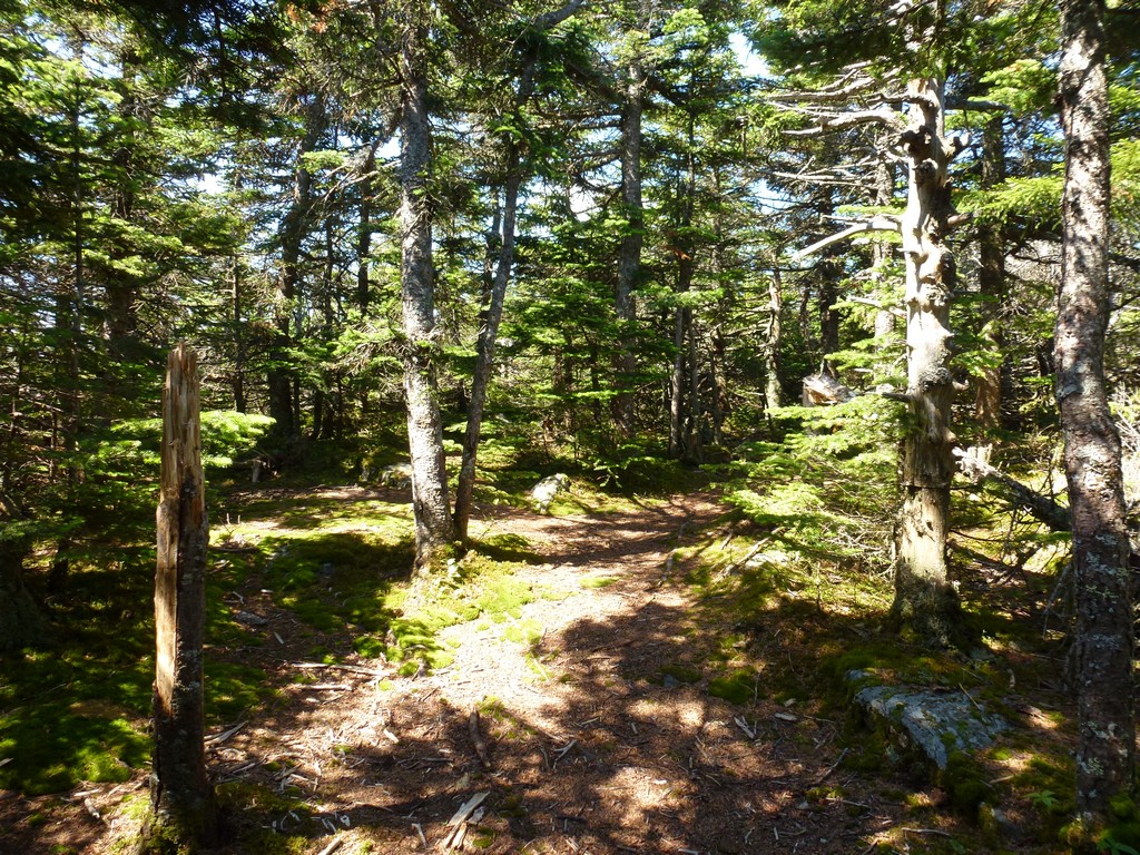
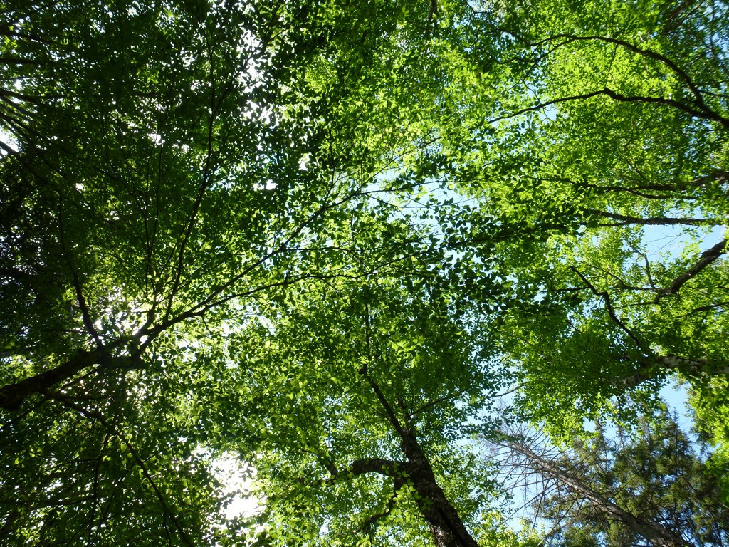
I arrived at the parking lot just a little after 7:30 and started up the trail at 7:40. A friend of mine who had done the trail just a couple of weeks prior had mentioned seeing lots of toads along it and it seemed that this was still the case as I had a number of sightings myself.
|
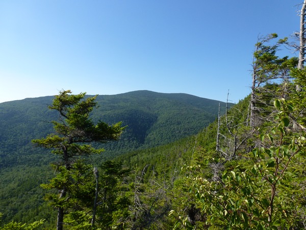
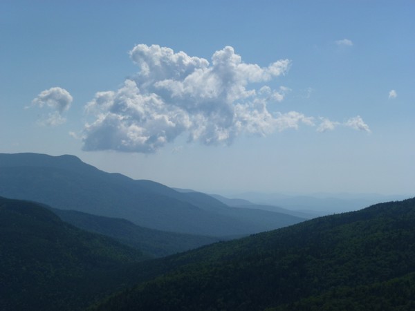
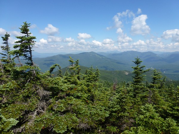
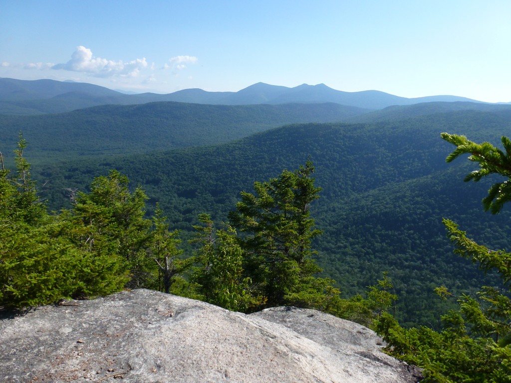
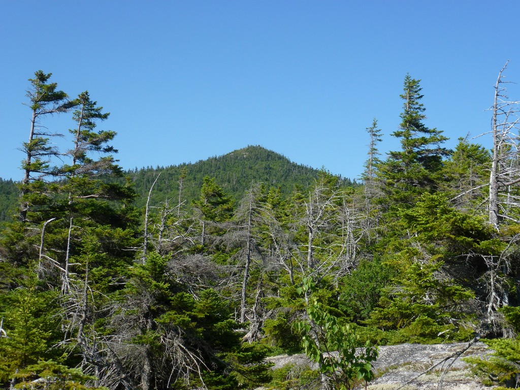
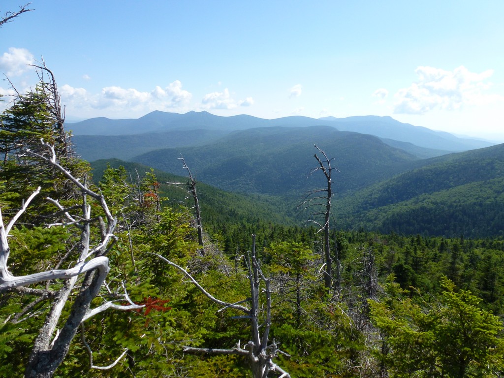
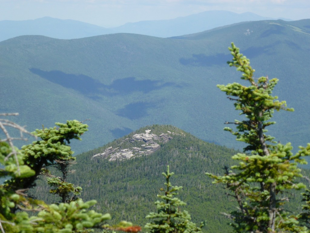
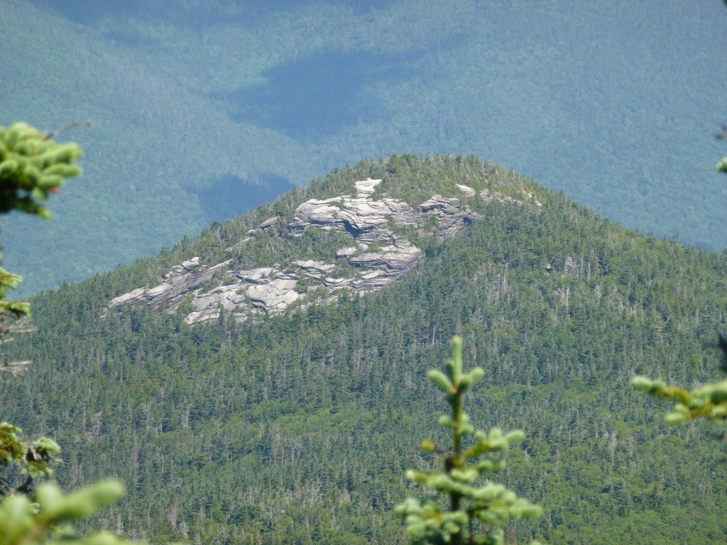
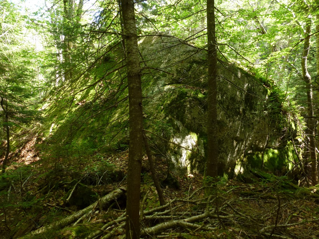
My first really good views came about an hour into the hike when I broke out of the forest and onto the ledges near Noon Peak. Noon Peak itself was a complete bust as it was forested and there were no views at all but the views from the ledges on either side of the actual peak made up for this.
|
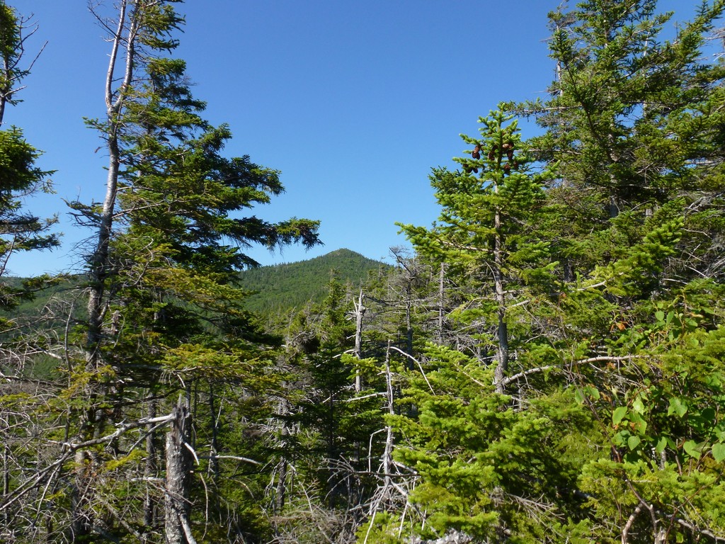
I was back into the forest for a while on the other side of Noon Peak but then there were some more ledges with nie views of both Sandwhich Mountain and Jenninegs Peak as I traveled up the ridge.
|
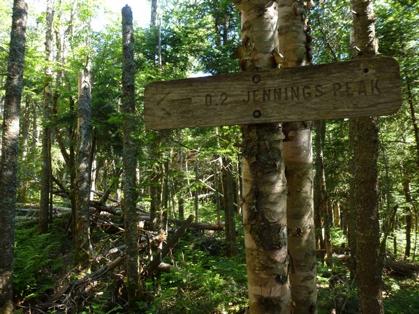
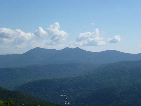
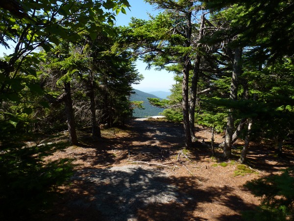
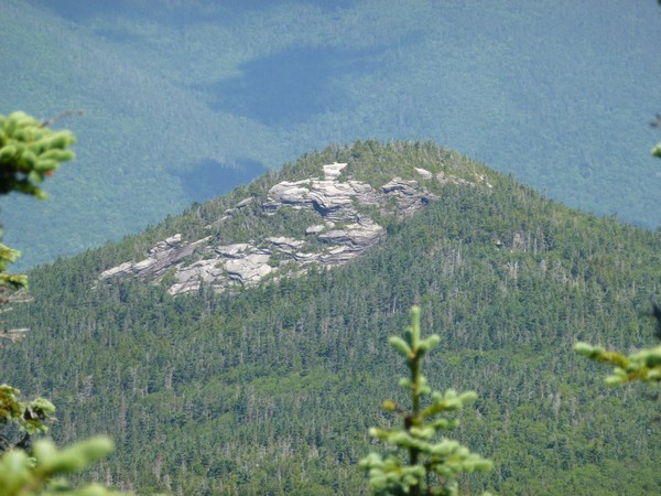
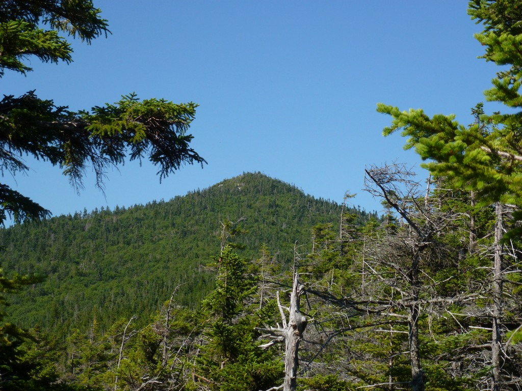
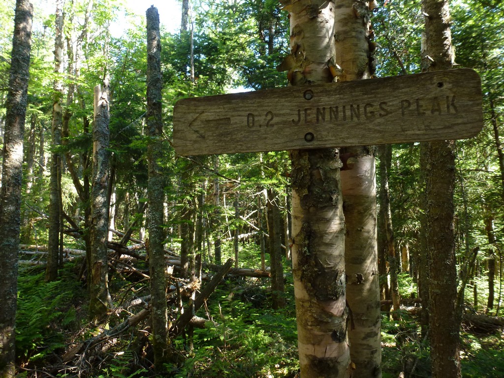
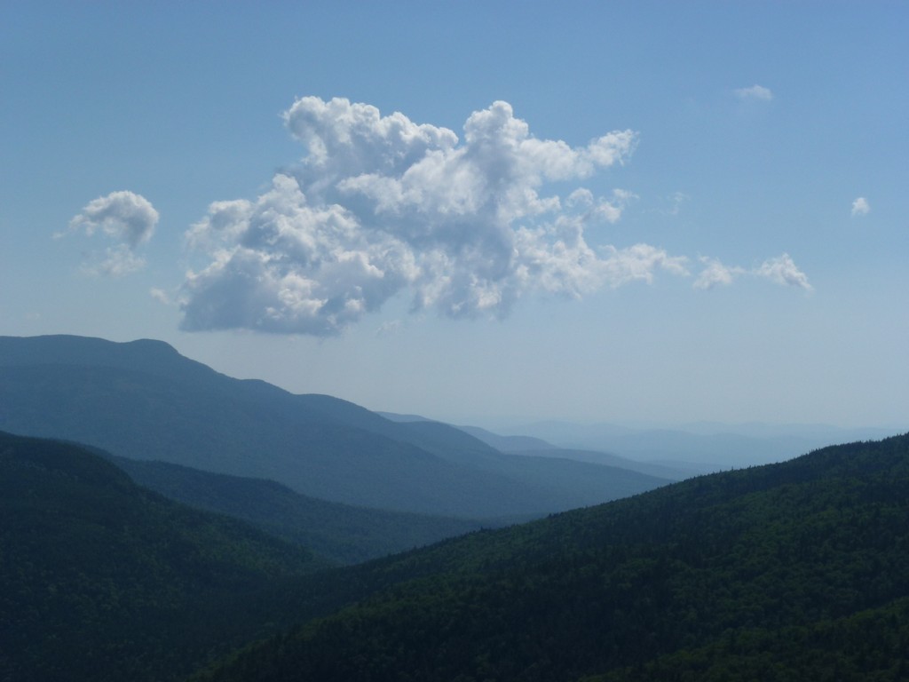
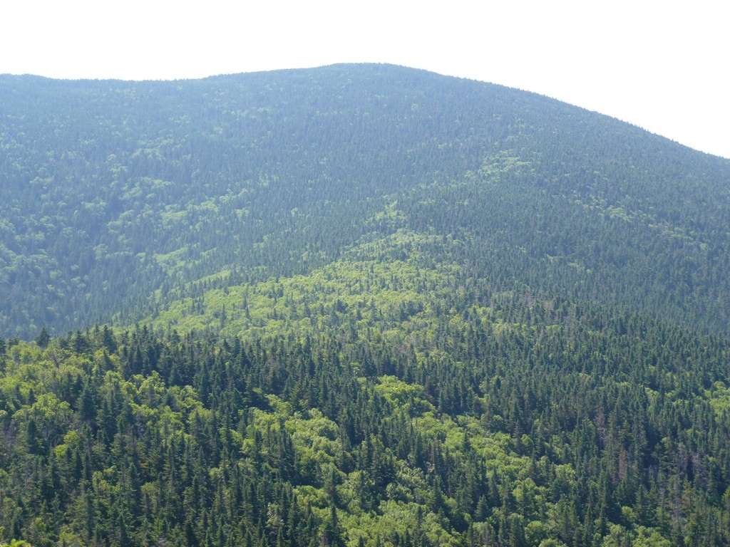
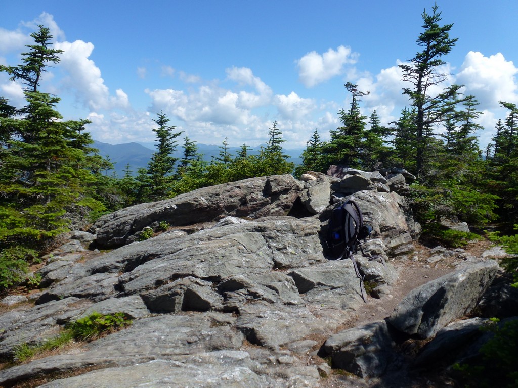
I arrived at the spur trail that goes up Jennings peak a little less than two hours into the hike and it took less than 10 minutes to go up the trail to the top of Jennings Peak. The peak itself had a lot of trees but there was a very nice view off to the south from a big ledge/clearing on that side. There was a really nice view of Sandwich Mountain and the remainder of the ridge leading up to it. There was also a really nice view of Mount Tripyramid.
|
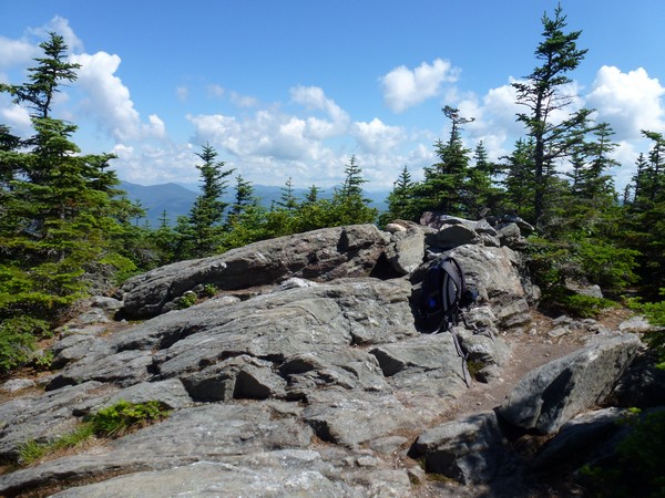
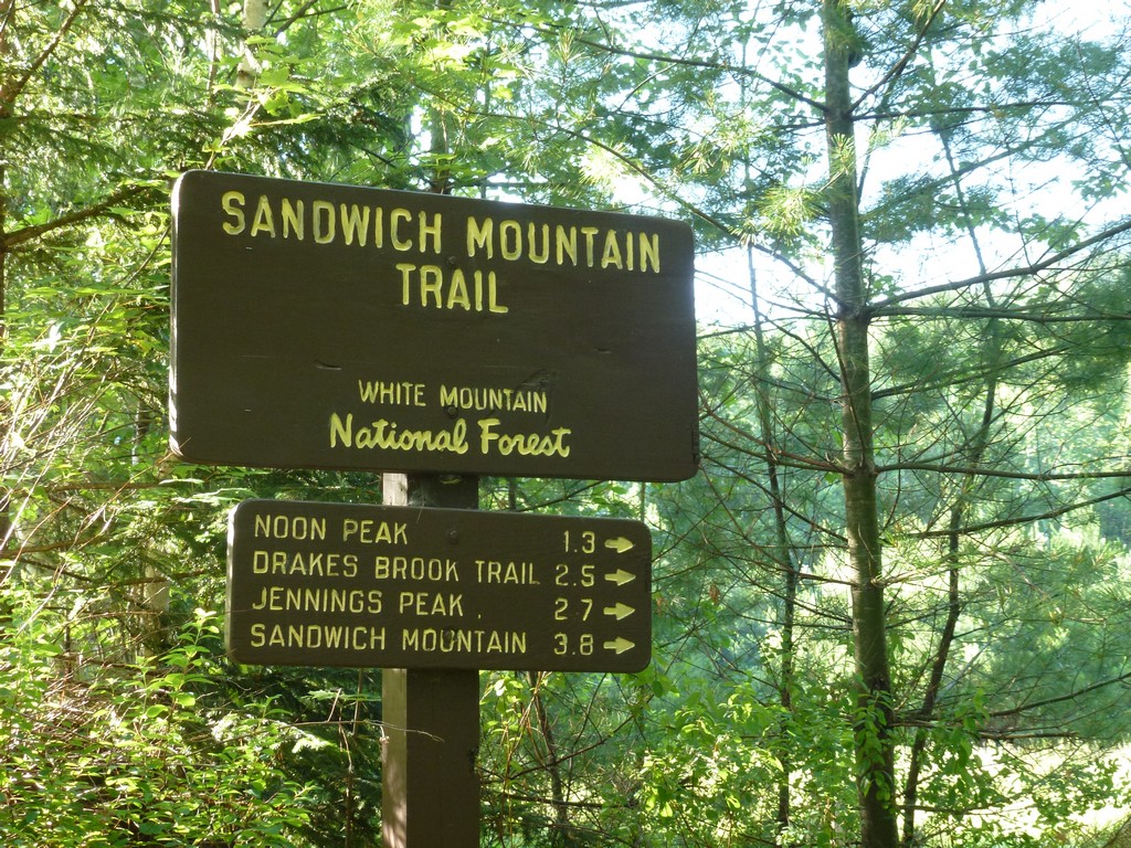
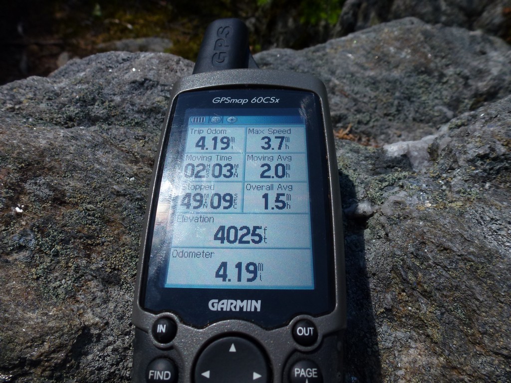
I spent about 10 minutes on top of Jennings Peak taking photos and also had a snack before heading back down the spur trail to the Sandwich Mountain Trail. Once back on the trail trail it only took a little more than a half of an hour to go from the top of Jennings to the top of Sandwich. It took just under 3 hours to cover the 4.2 or so miles to the top of Sandwich, including the side trip to Jennings.
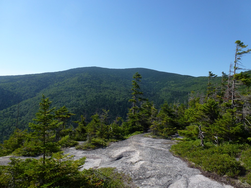
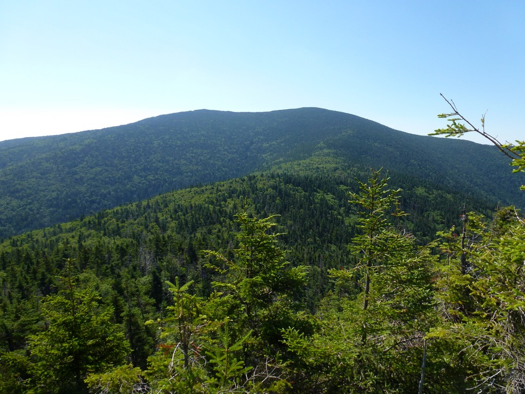
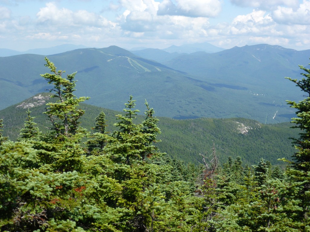
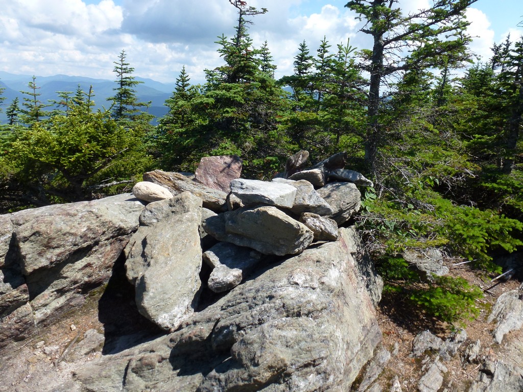
The views from the top of Sandwhich Mountain were pretty good but than had a lot of trees as well. The really good view from the top there was to the north, towards Jennings Peak, which it was nice to look down on.
|
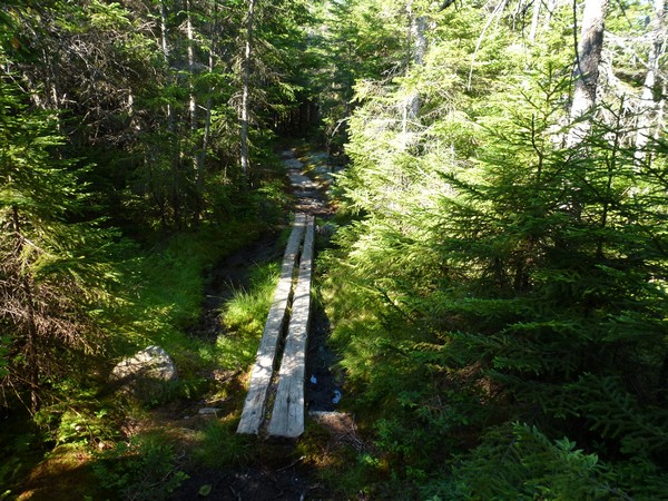
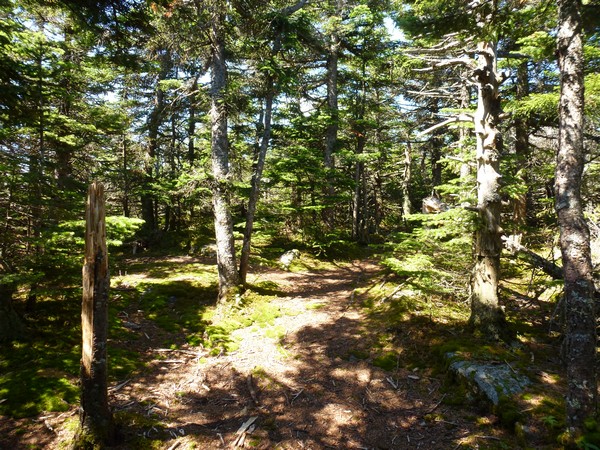
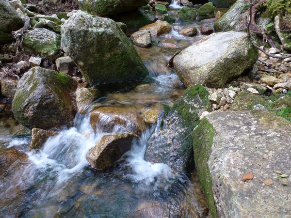
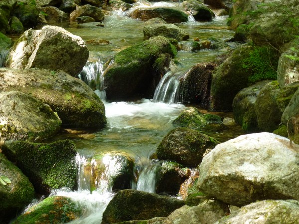
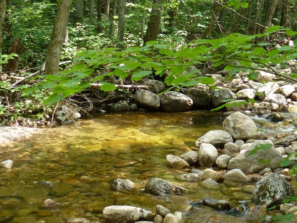
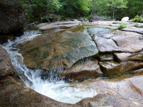
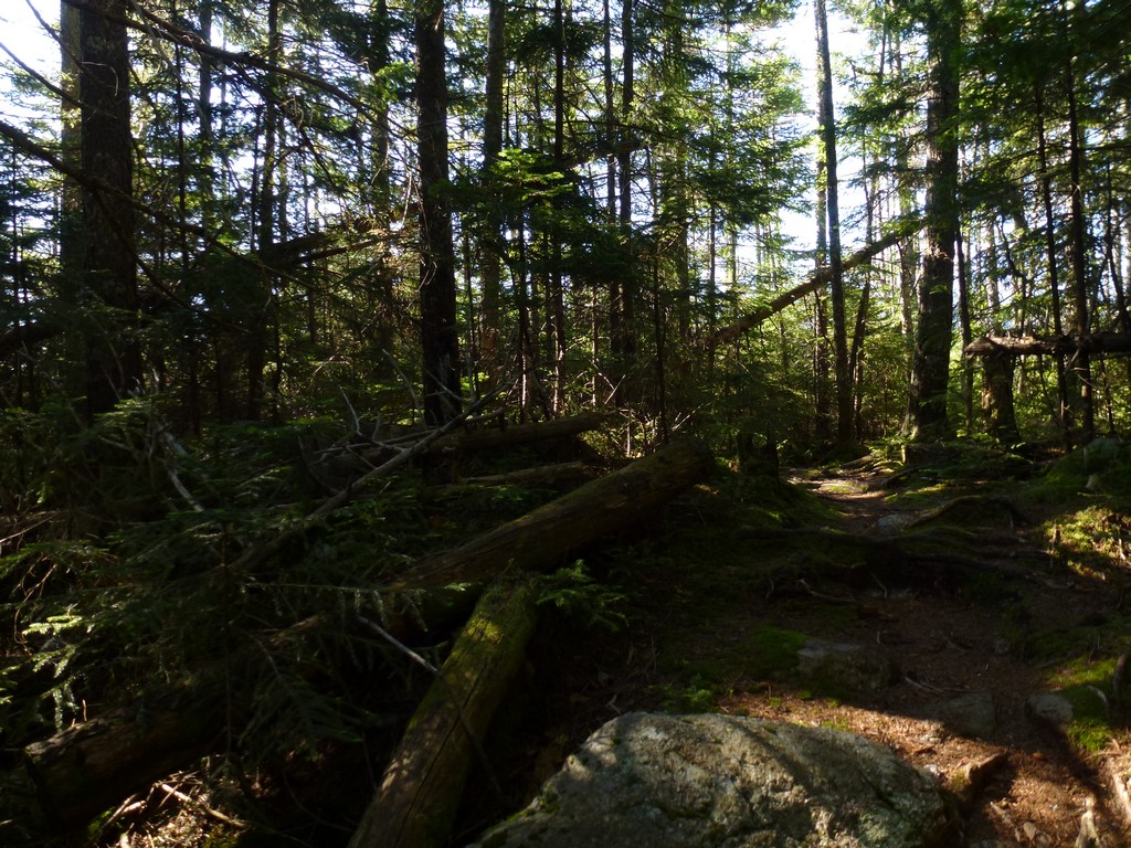
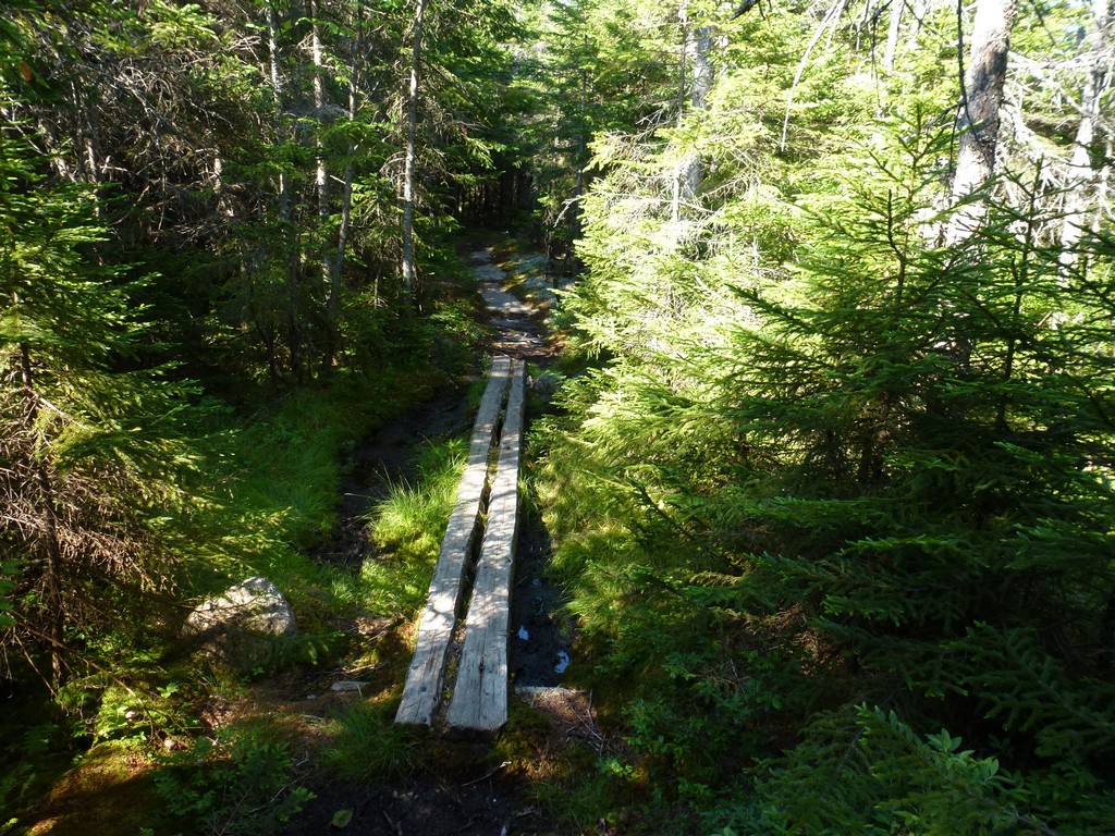
On the way back down I decided to take the Drake Brooks Trail, for a little bit of variety, since it would also end at the same parking area as the Sandwich Mountain Trail. This would be about three quarters of a mile longer but would also be in the forest and along water for most of the distance which I really enjoyed.
I had thought about going over to Fletcher Cascades as well but I was hoping I would be able to bushwhack across to that trail from Drakes Brook. I kept looking for a good/easy was to do this and by the time I reached the actual junction with the trail headding up there I decided I did not want to have to hike all the way back up there.
|
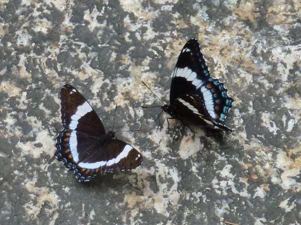
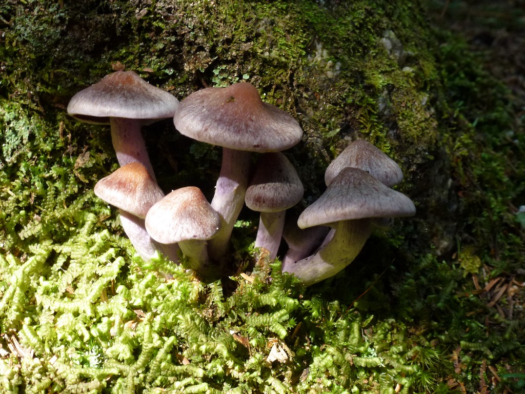
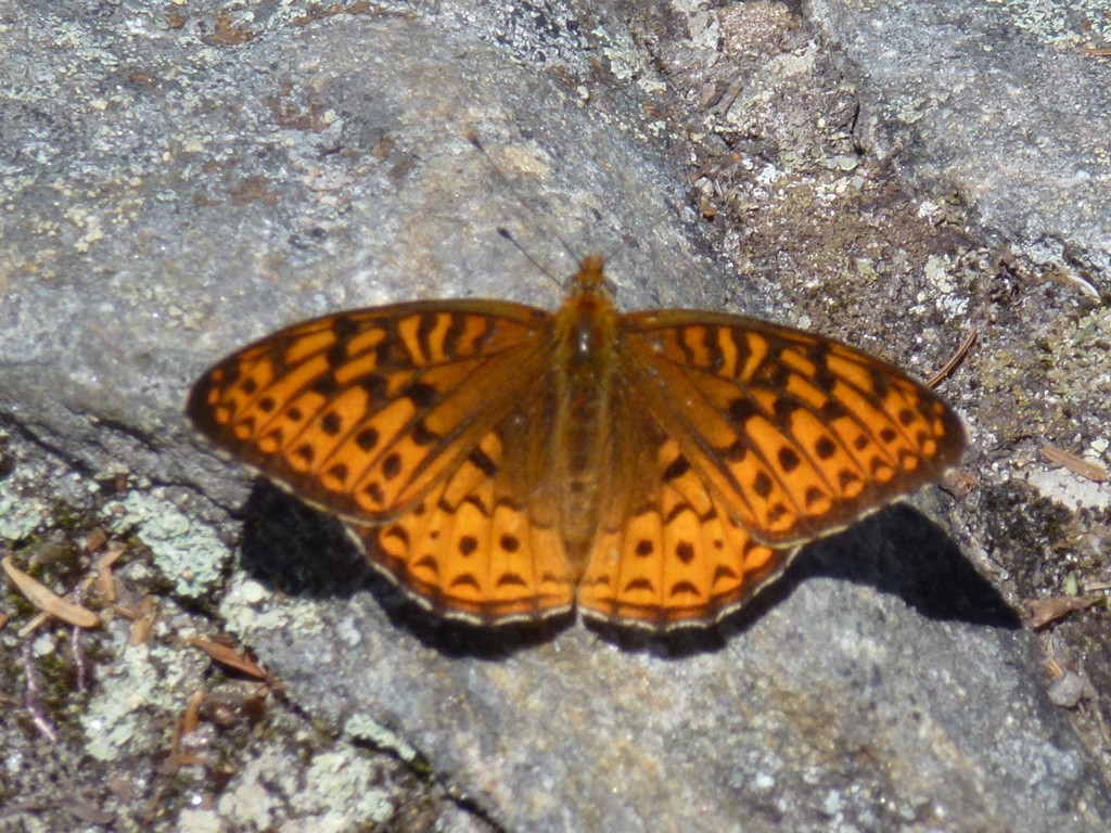
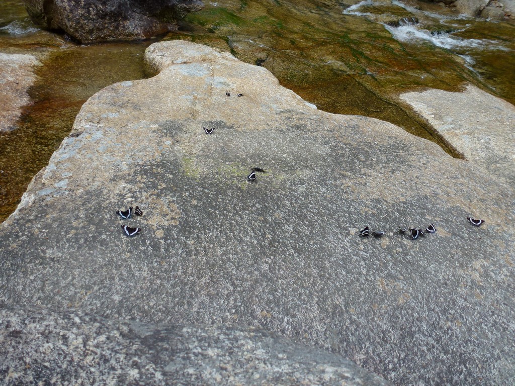
One of the best parts of this hike was at one point when I walked down to take a look at Drakes Brook and found some ledges along the creek covereed with butterflies. They were all the same kind of butterlfly and I still don't know what variety that was but there were dozens of them. It was still early summer and I don't know if they were gathered there just as a stop-over from their migration or what, but it was very cool to see so many in one place.
|
I was at the end of the trail and back at the car shortly after my butterlfy encounter, at exactly 1pm, and I was home by 330. It was a nice easy day and it felt good to be home so early. Part of me still wished that I had done the side trip up to Fletcher Cascasdes but that will have to wait for another day.
|
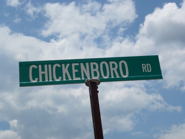
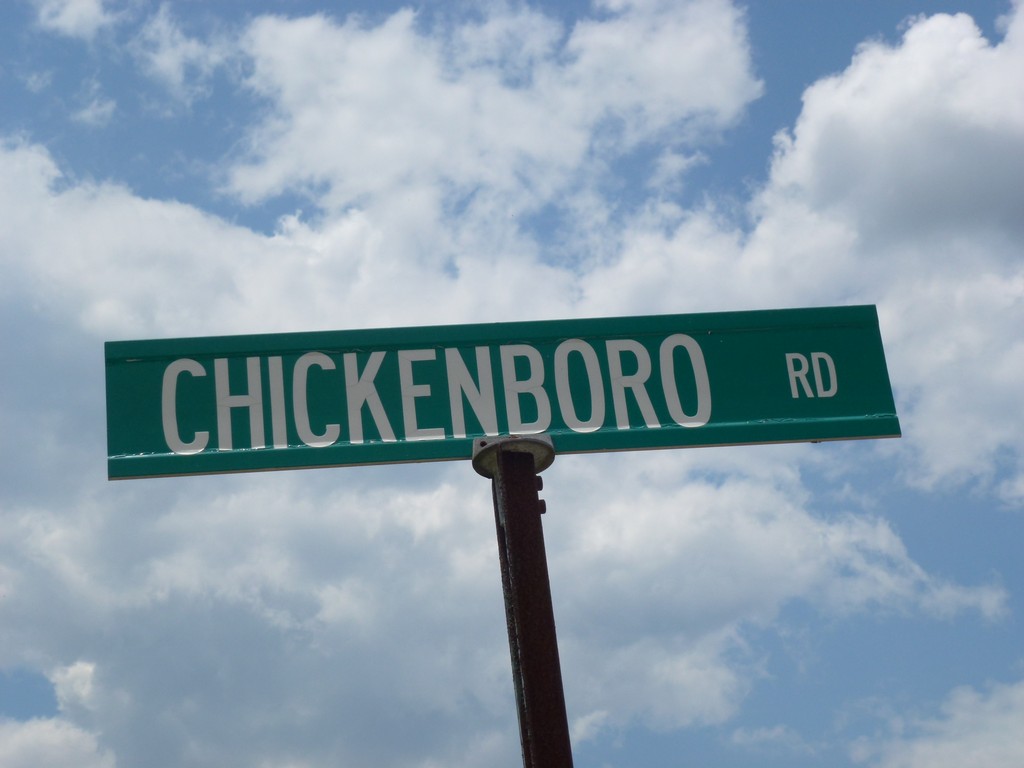
I just loved this street name. I drove past it initially but thenm decided to make a u-turn and go back to take a photo of it.
|
|
|---|
|
|---|


