|
Mount Nancy day hike |
|---|
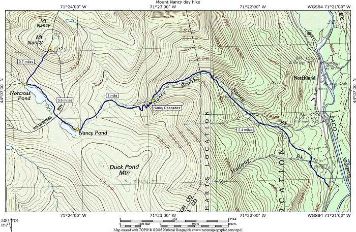
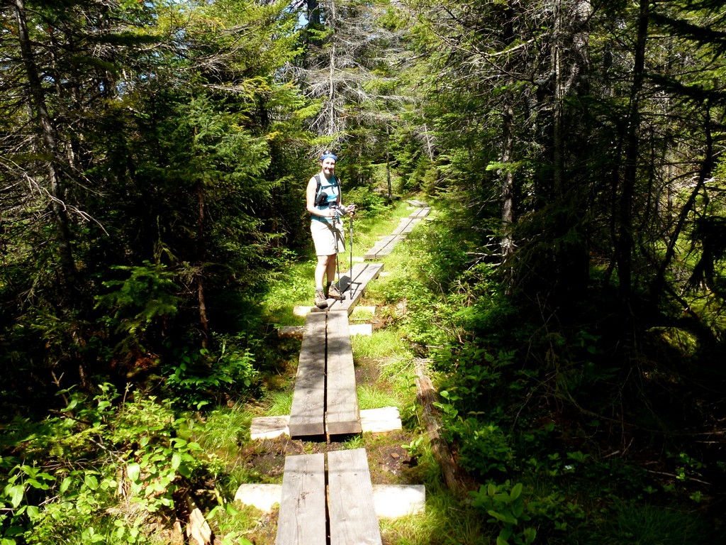
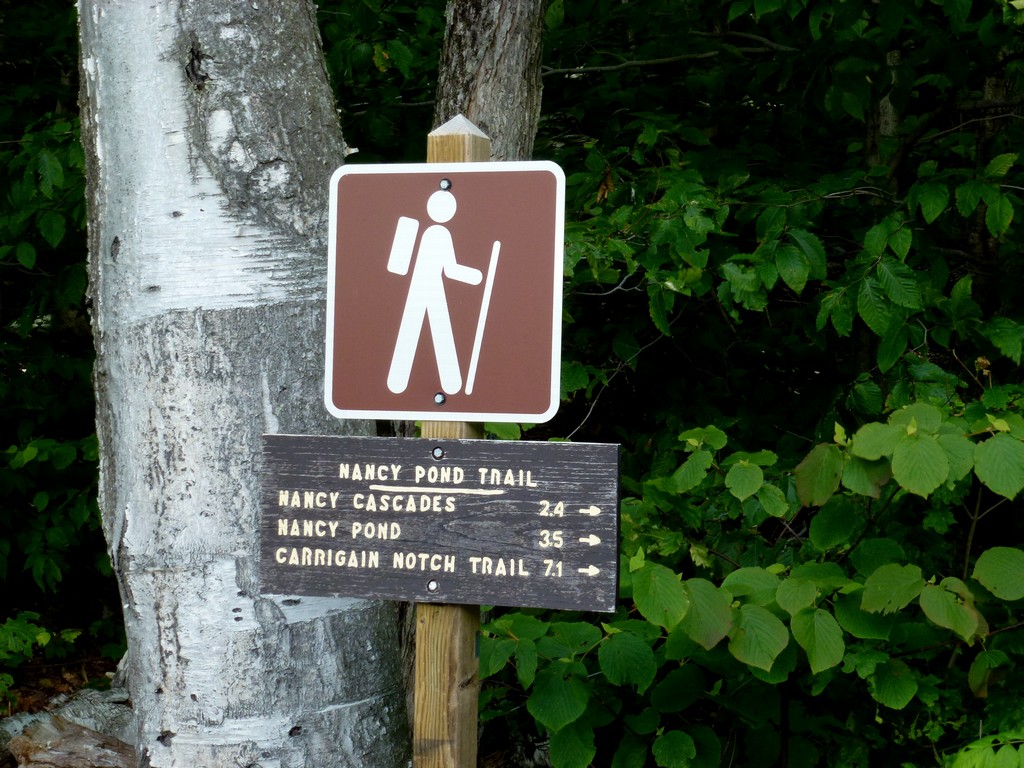
This day hike started at the parking area for the Nancy Brook Trail off of Route US-302 at the southern end of Crawford Notch. From the parking area we took the Nancy Brook Trail to west end of Norcross Pond and then an unnamed trail/foot path to the summit of Mount Nancy, returning the same way.
|
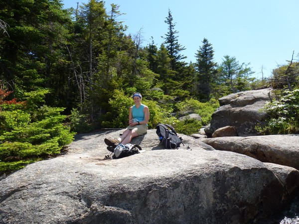
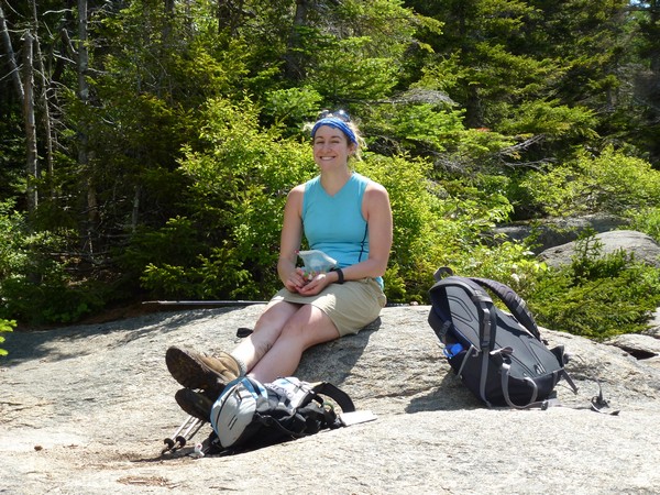
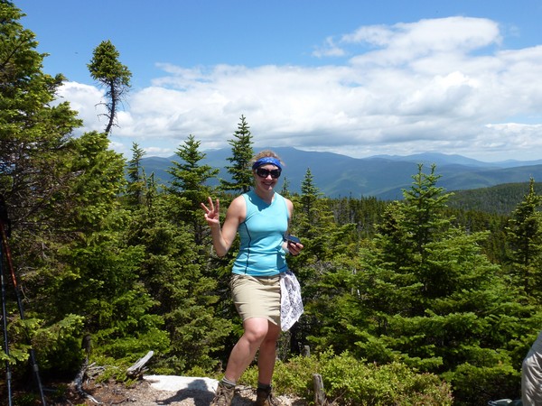
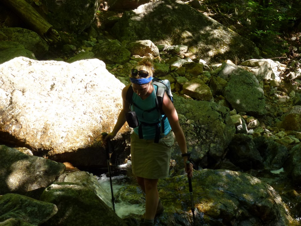
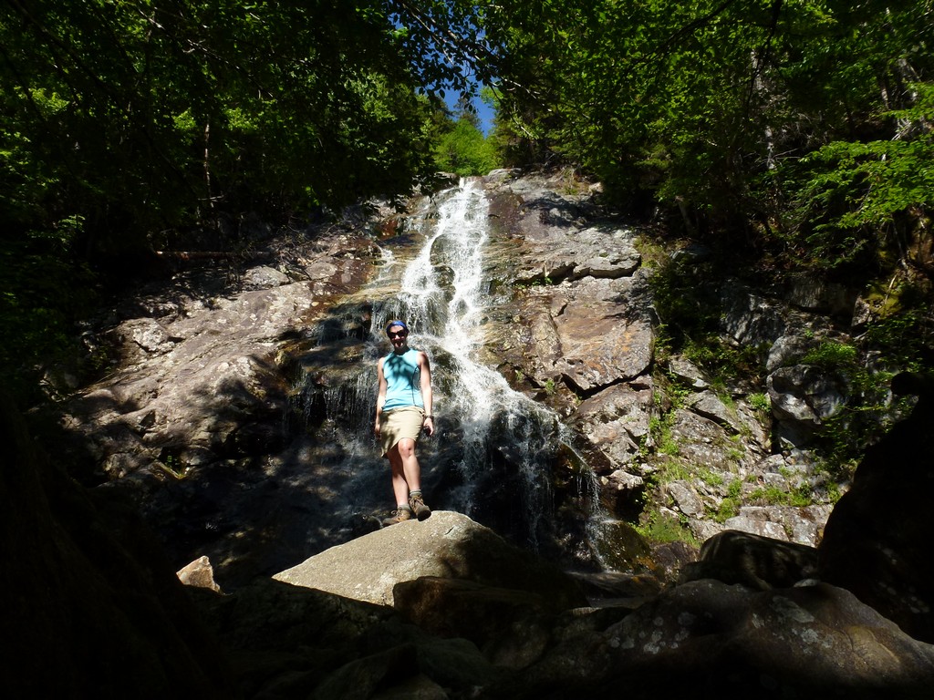
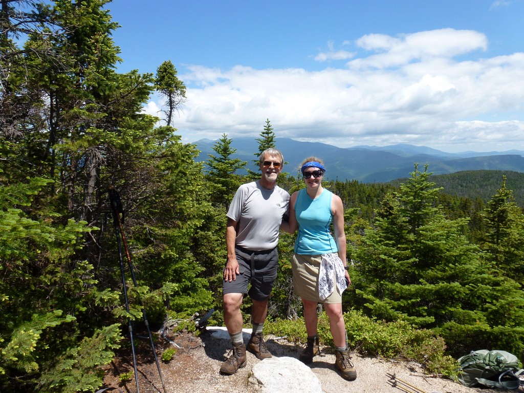
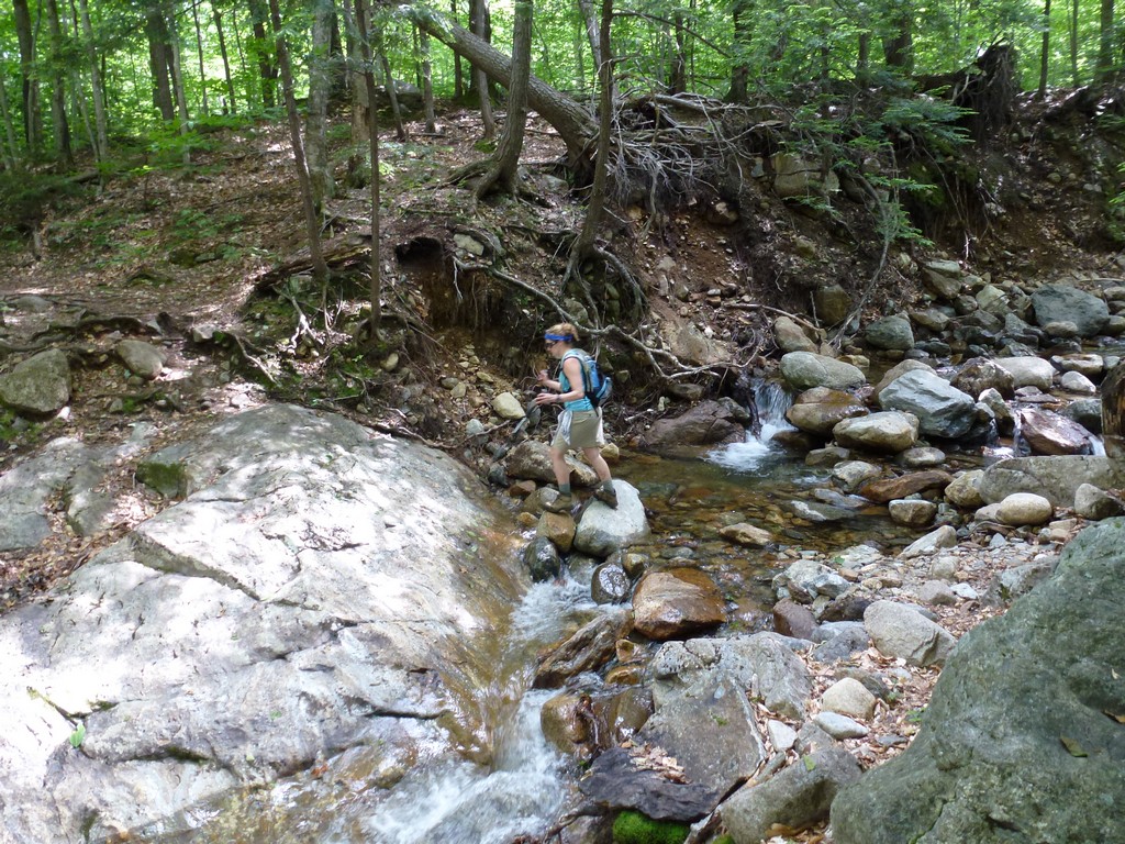
The starting point for this hike was a small parking area on US Route 302 at the southern end of Crawford Notch. This would be peak #51 for me on my New England Hundred Highest list. We (Pam & I) started hiking a little after 8am and didn't stop untl we got to Nancy Brook cascades just a little before 930.
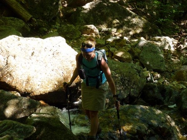
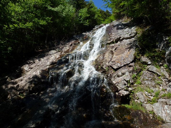
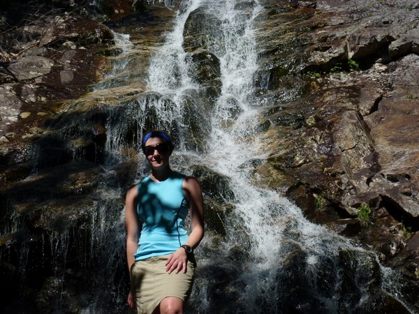
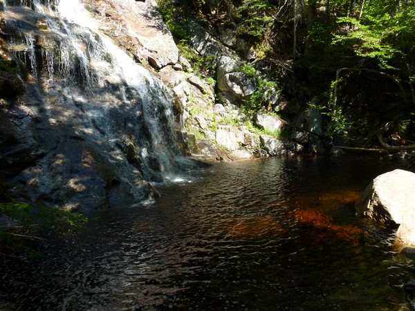
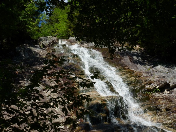
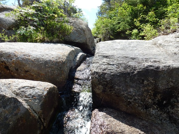
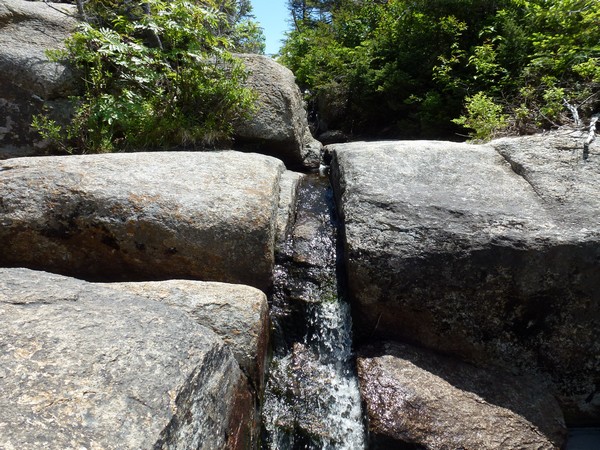
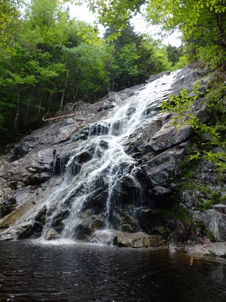
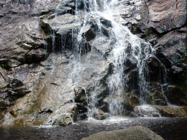
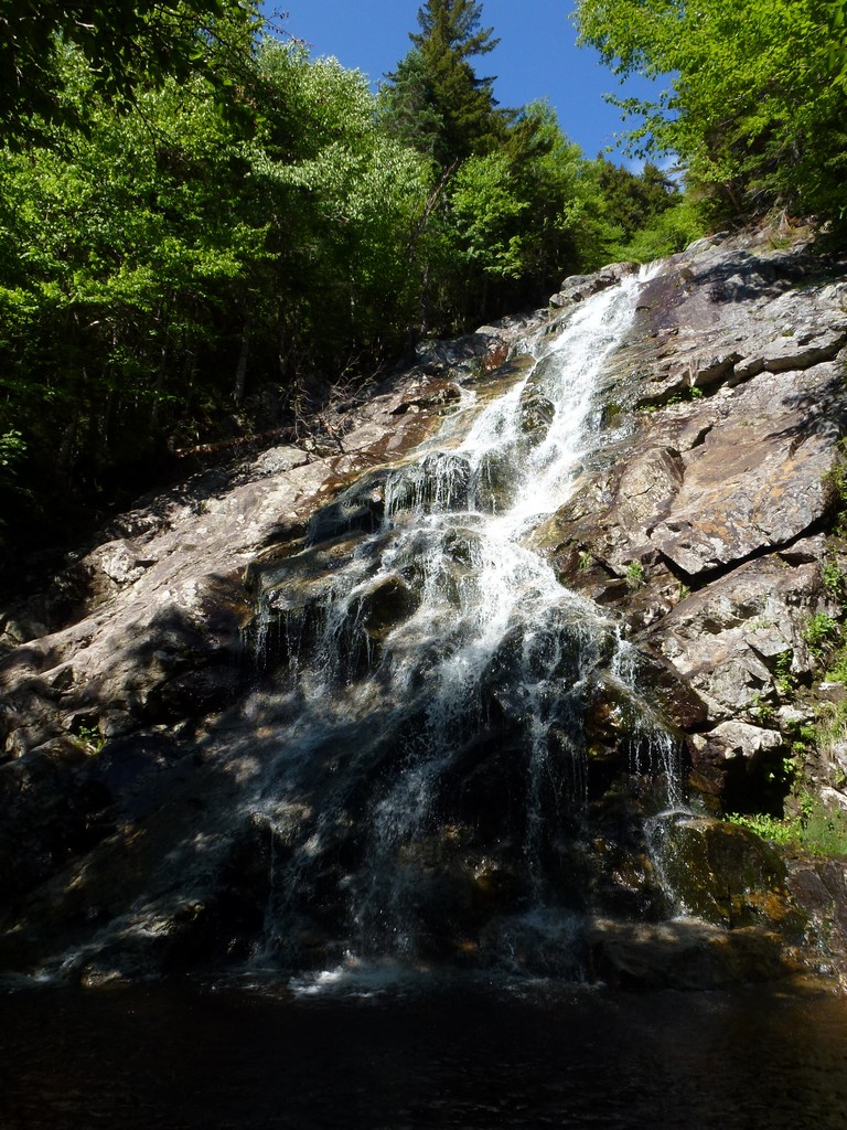
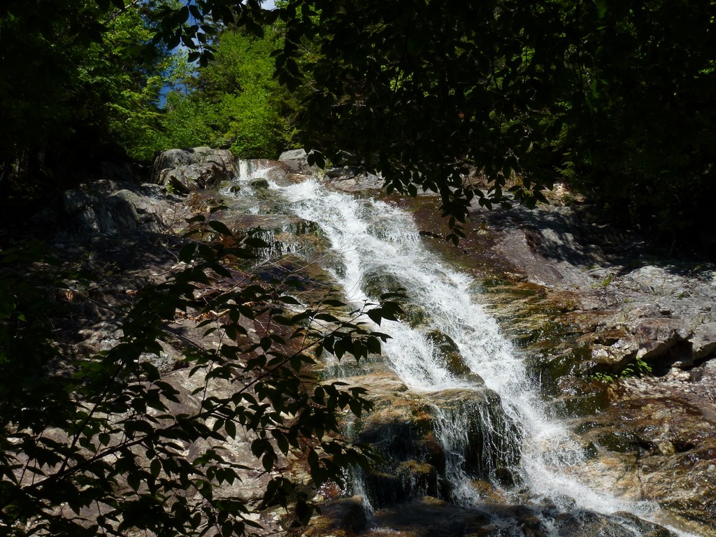
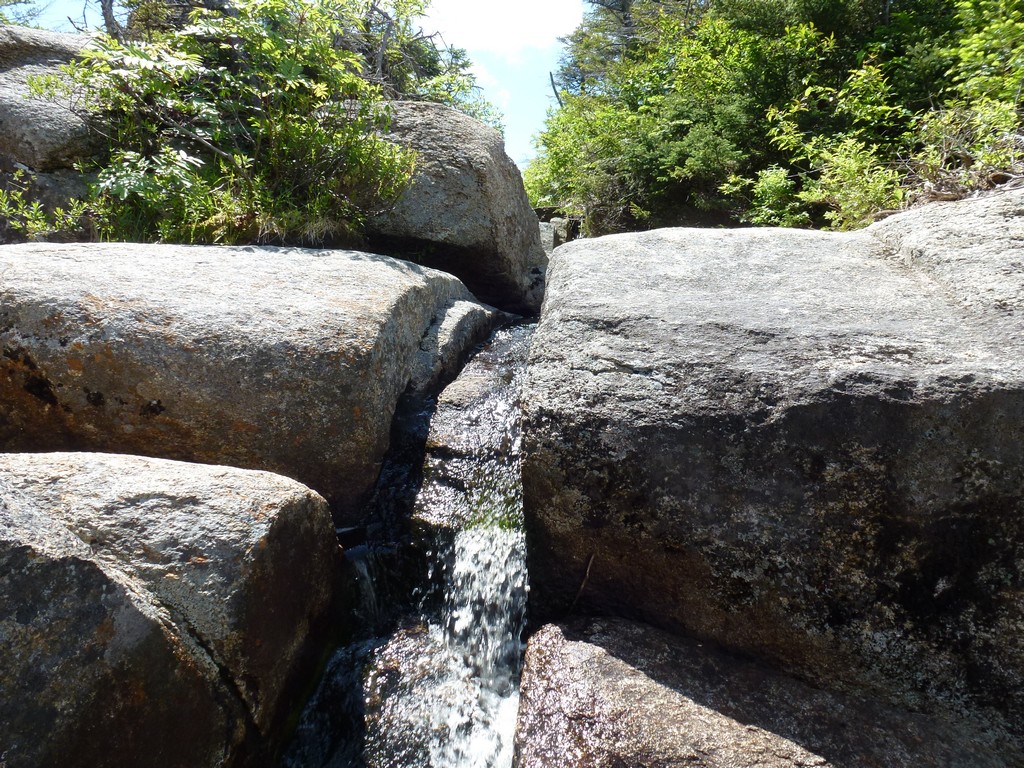
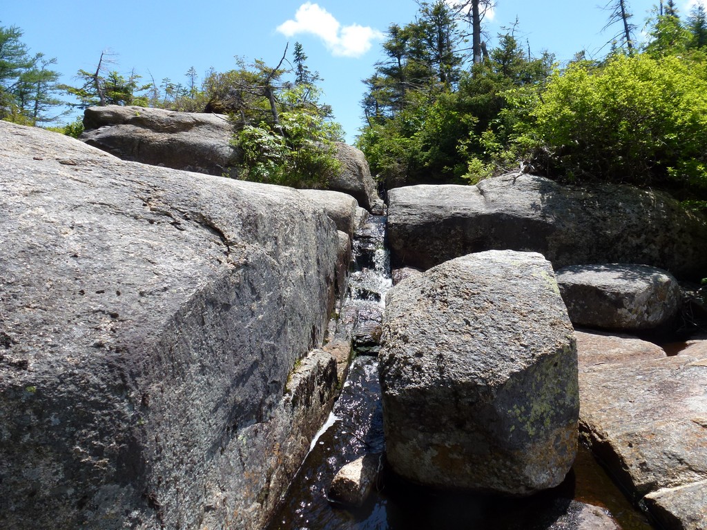
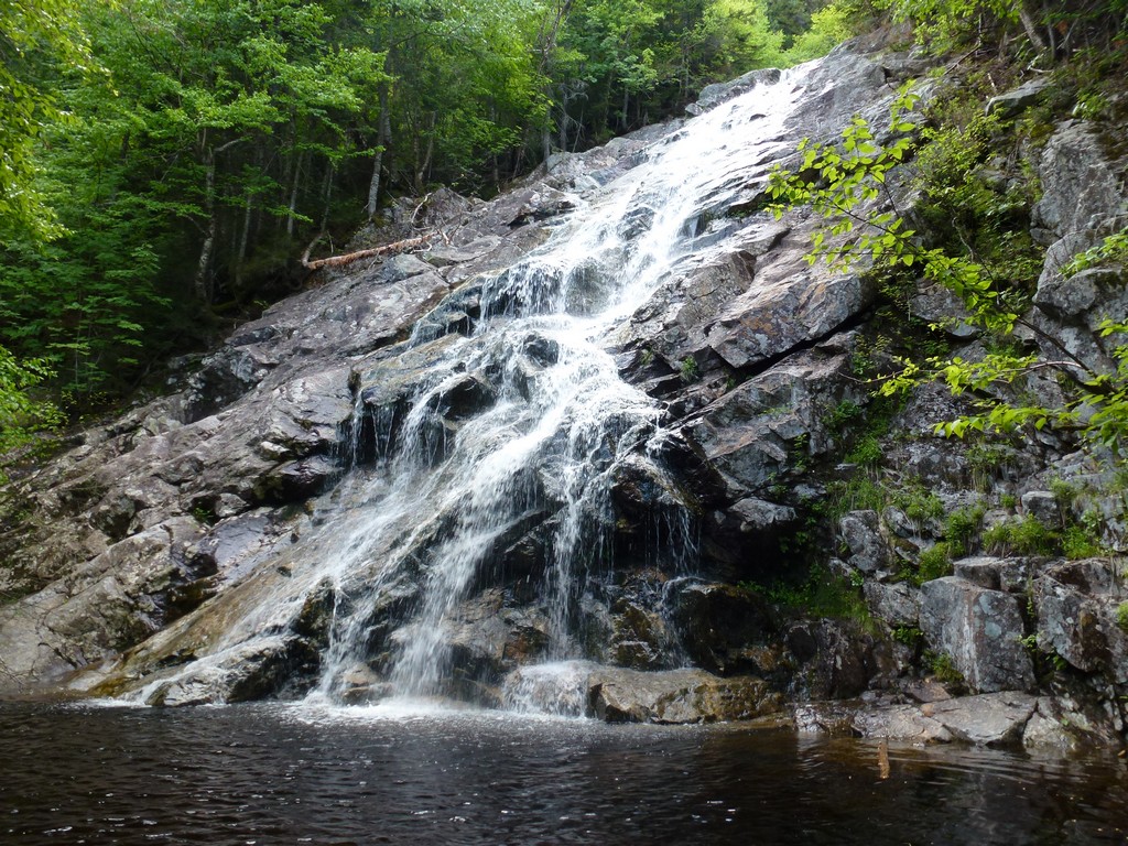
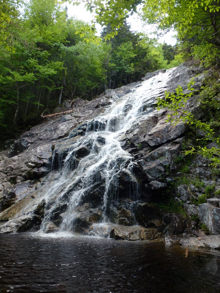
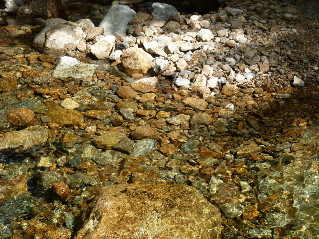
The cascades were awesome and we took a pretty long break there to take some photos. It was a hard to get the whole cascade into one frame of my little point-and-shoot digital camera and I wished I had my digital SLR with me with the super-wide-angle lens on it. I still got some pretty good shots though.
The trail rose gradually alongside Nancy Brook going up to the cascades but at the cascades it gets a lot steeper and there are actually some switchbacks there as the trail zig zags up the cliff face to get above the cascades. There are a couple of places where it comes back to the cascades for some nice views of the middle and upper sections of it.
|
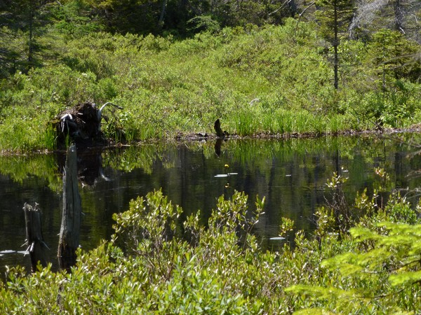
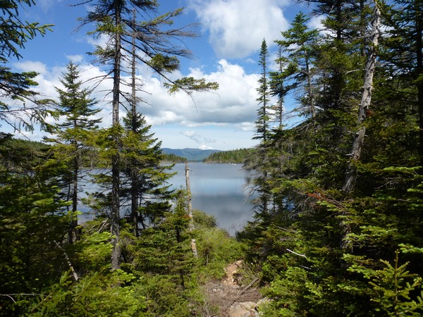
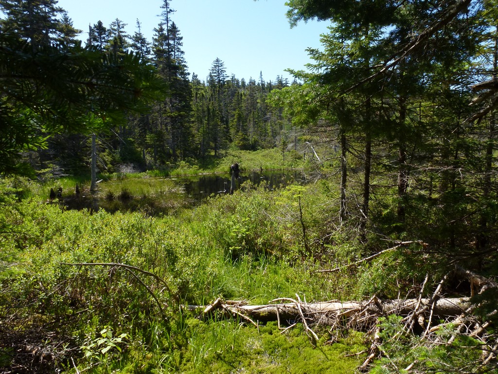
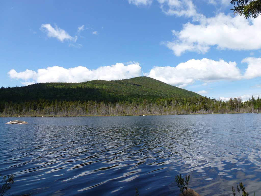
Once above the cascades the trail levels out consdierably as it approaches Nancy Pond. From the southern end of Nancy Pond to the northern end of Norcross Pond there is hardly any elevation change at all except for some little ups and downs along the shore or the ponds. It was a beautiful day and awesome hiking.
|
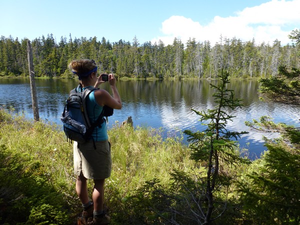
We stopped at a few places along both ponds for photos. It really was a picture perfect day with nice deep blue sky and a scattering of white, puffy clouds.
|
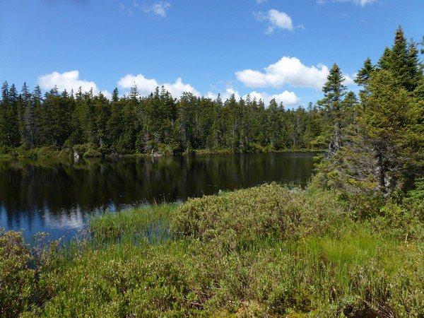
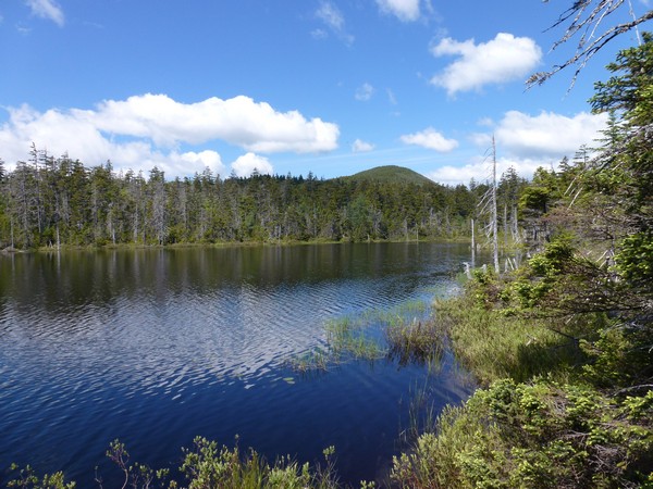
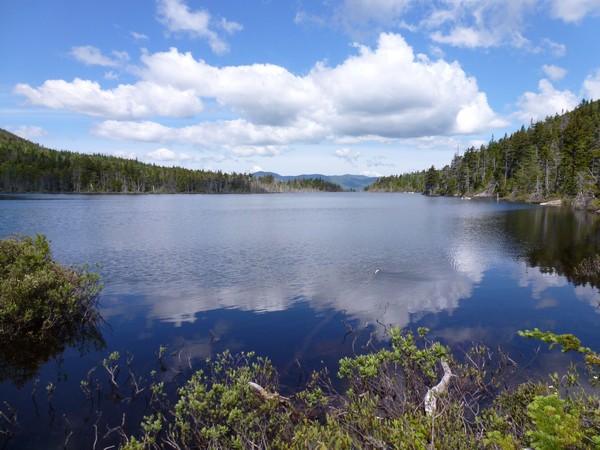
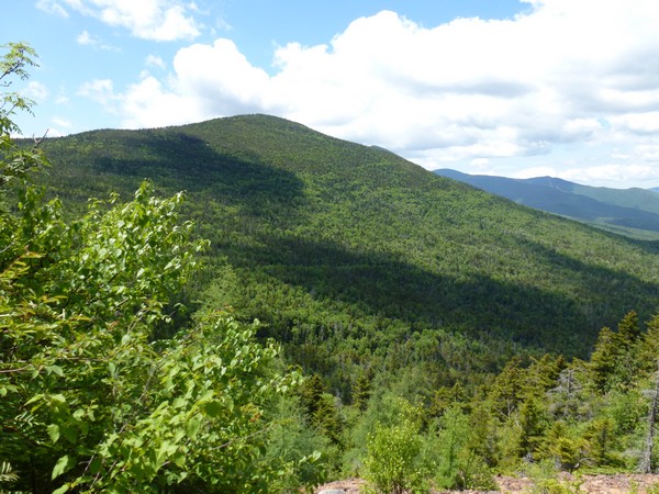
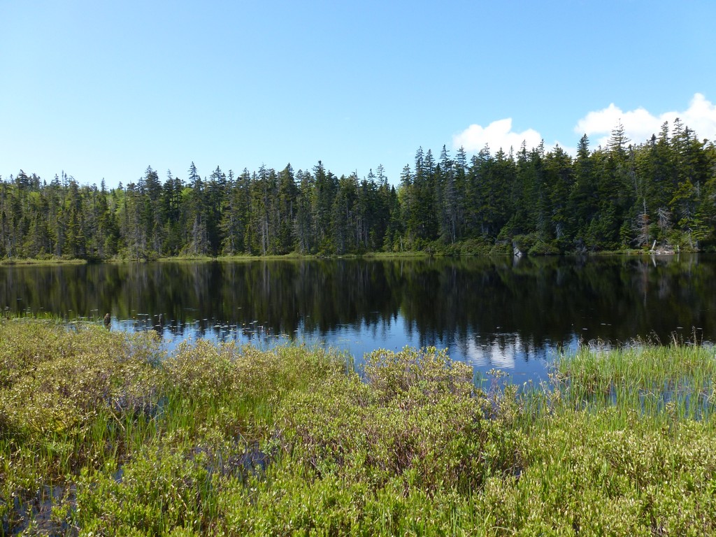
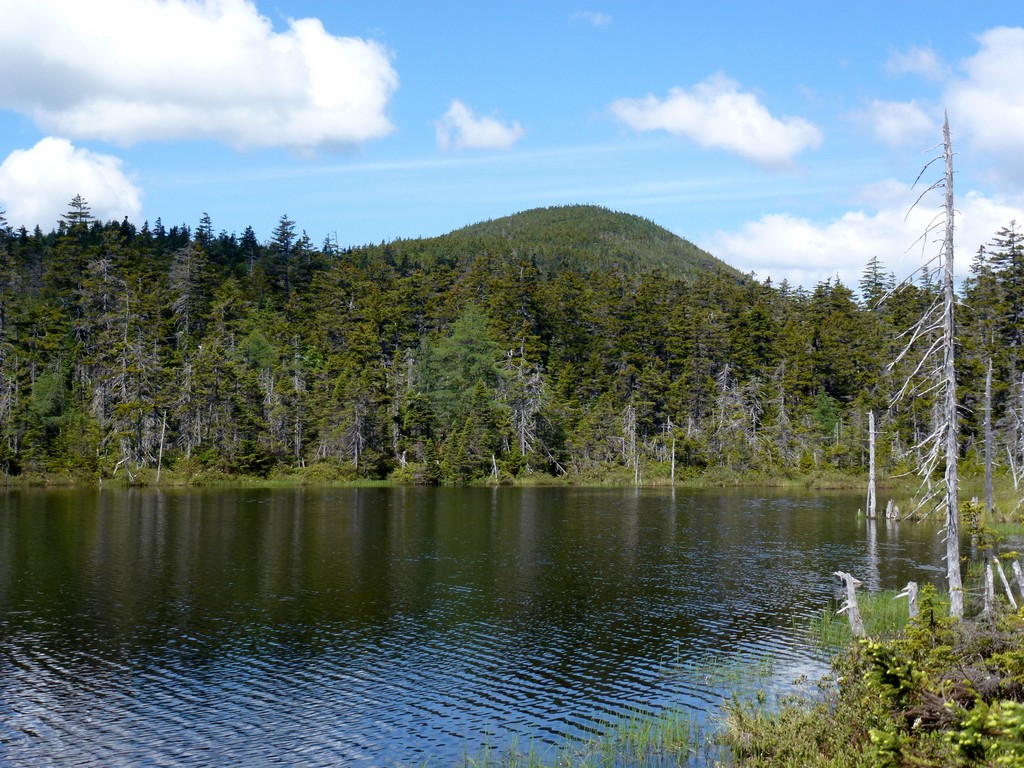
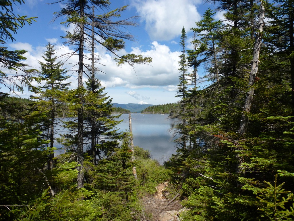
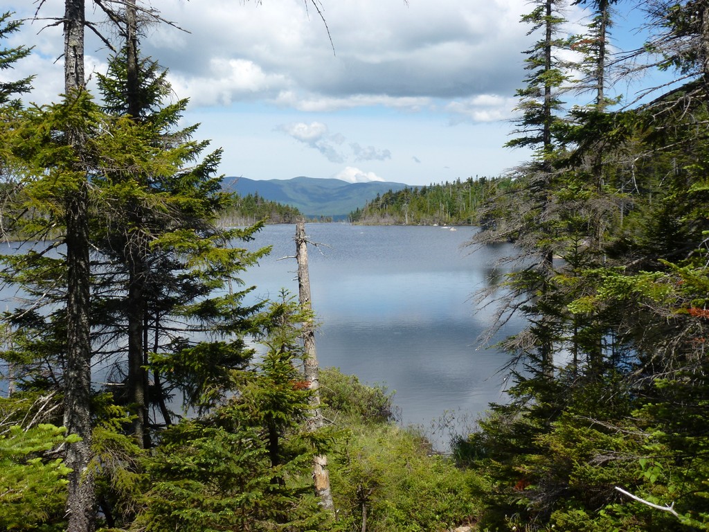
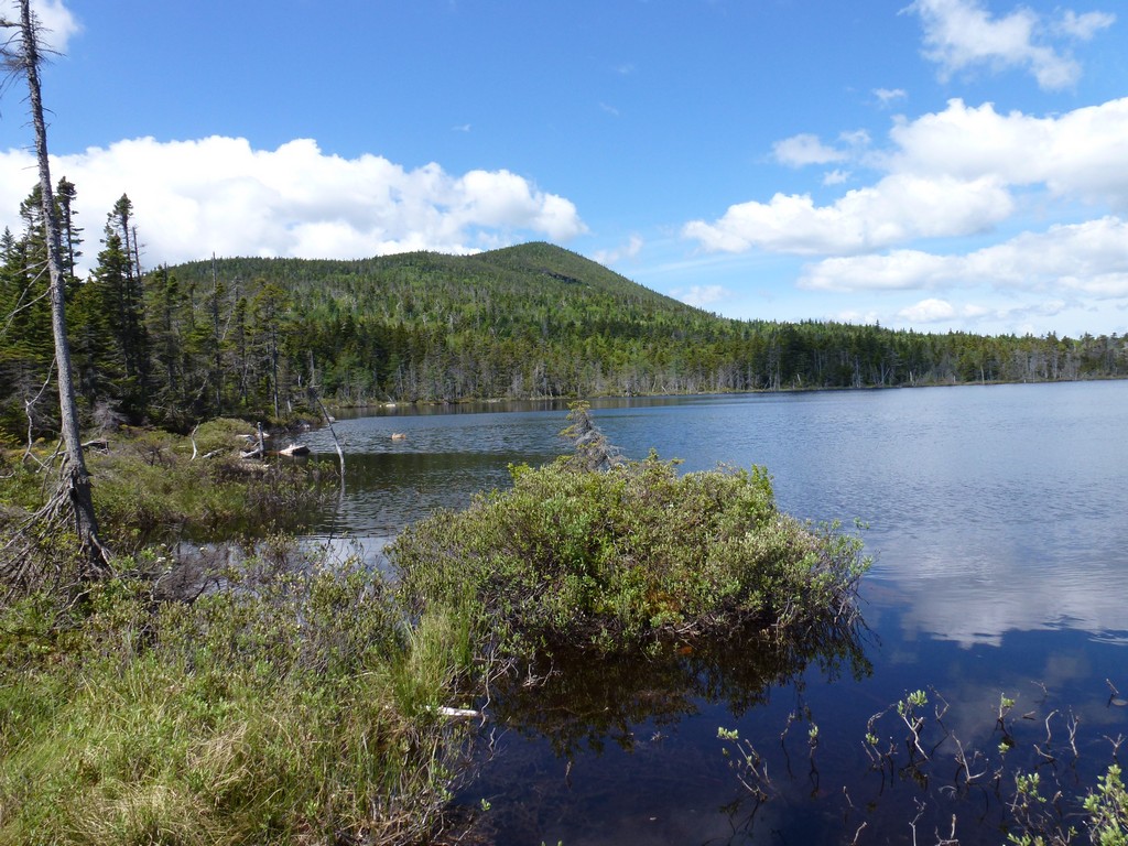
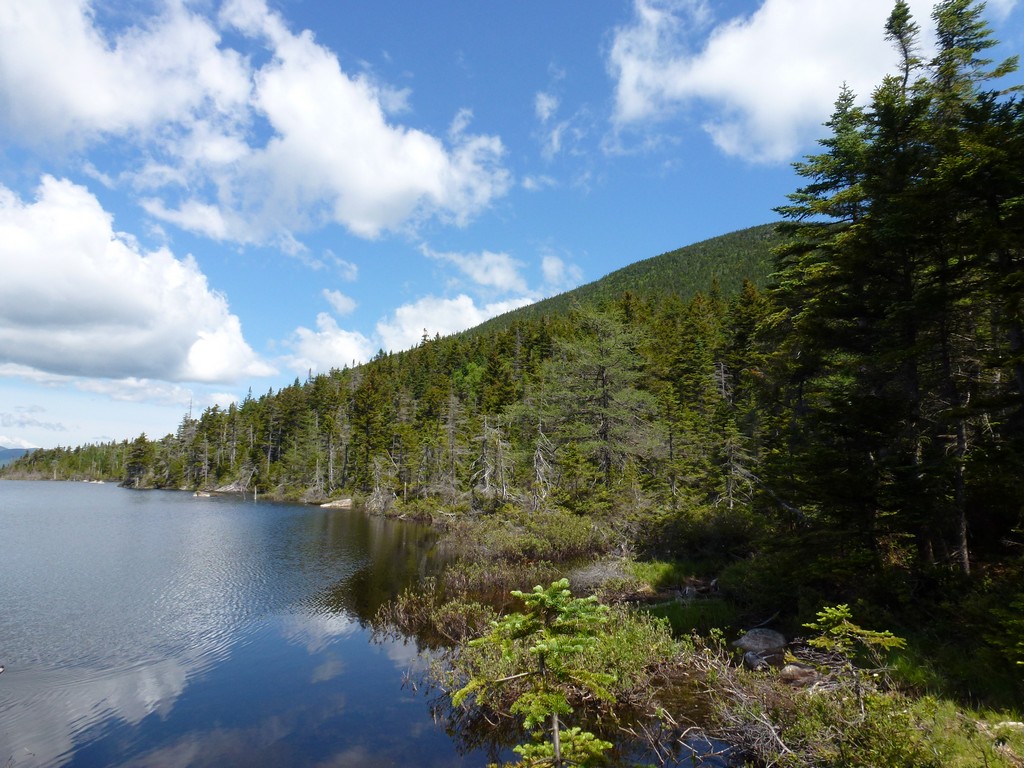
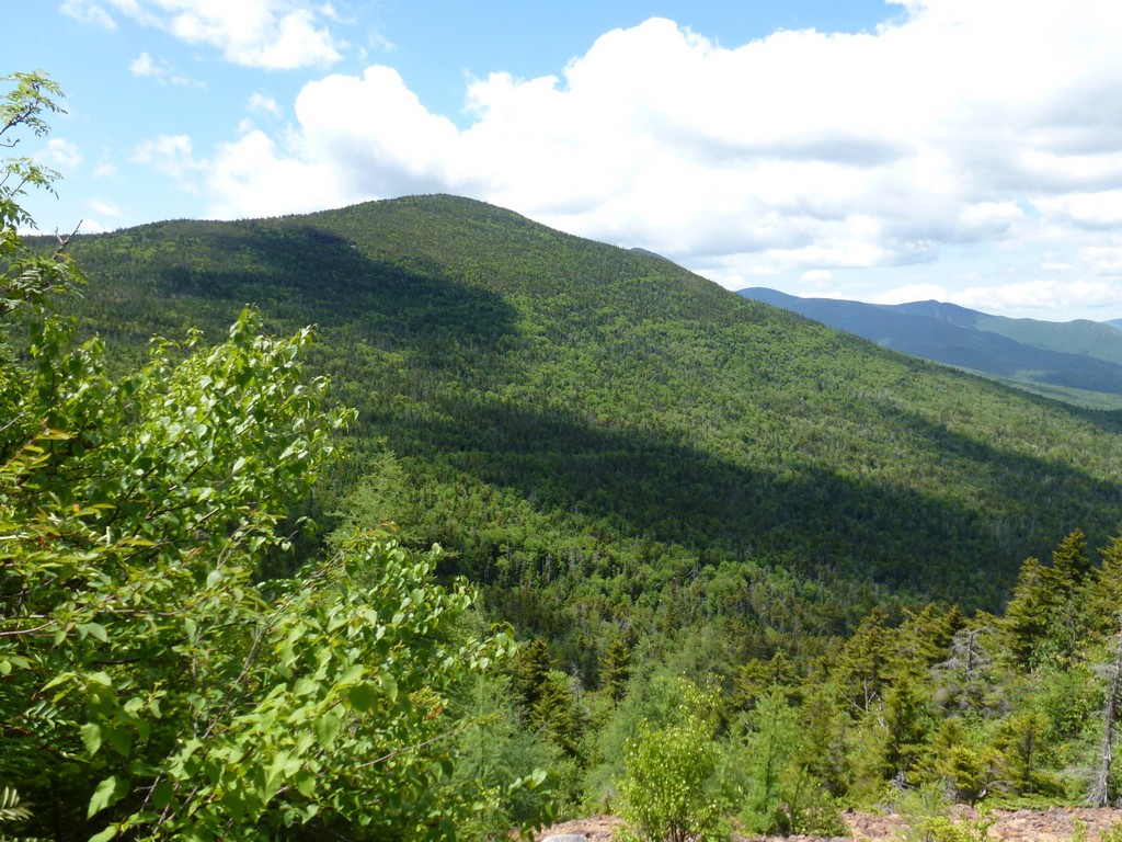
Nancy Pond was nice but Norcross Pond was the real treat as it was huge in comparison. There were some nice views of Mount Anderson on the other side and also some really nice reflections in the surface of the pond.
|
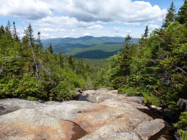
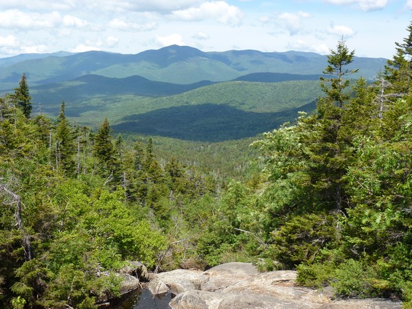
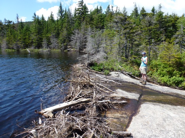
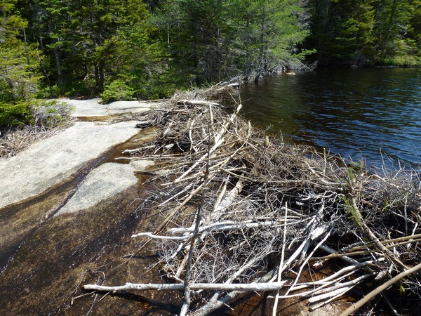
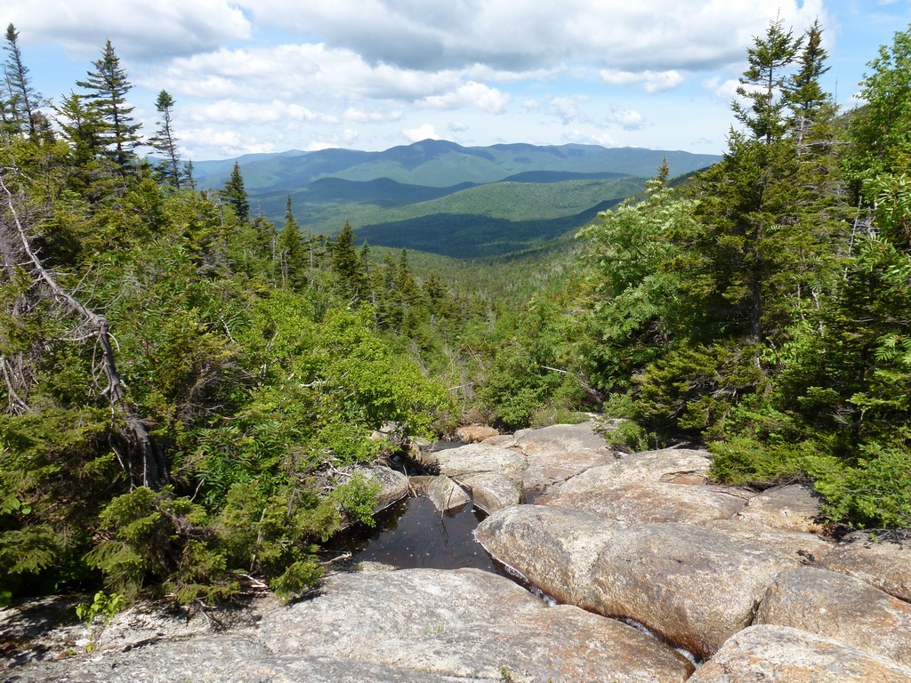
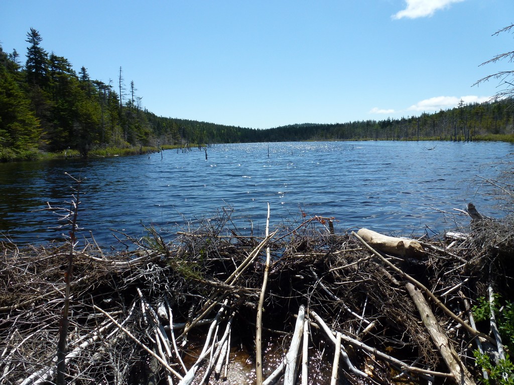
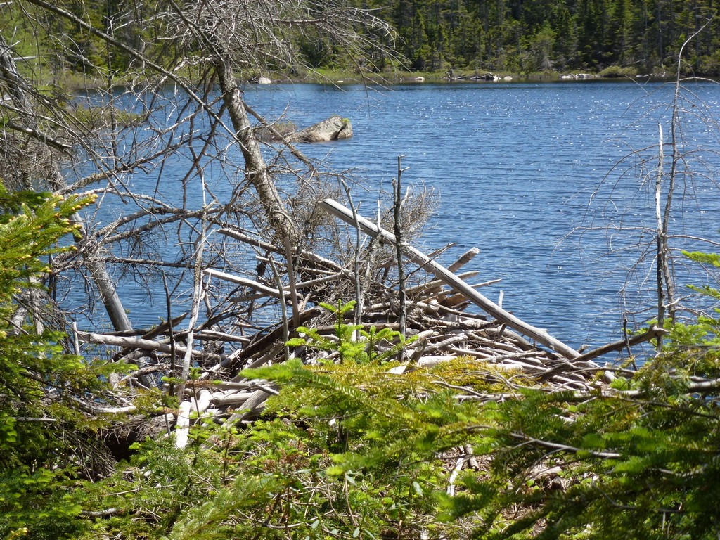
Pam and I were both totally awestuck but the view at the north end of Norcross Pond. Where the pond ends the land just drops away for several hundred feet into the eastern end of the Pemigewasset Wilderness. There are some rocky ledges there and just a small notch where some of the water from Norcross Pond spills off to join the Pemigewasset. A small beaver dam at the top of the ledges along the northern edge of the pond holds back most of the water. The view of the wilderness from there is simply astounding and probably one that is hard to bear anywhere in the White Mountain region. We could see all the way across the Pemigewasst Wilderness to The Bonds and Franconia Ridge on the western end of it.
We stopped and had a long rest break there and took lots of photos. Pam and I had been hiking alone up to this point but while we were there another solo hiker came in and the three of us ended up hiking together for most of the rest of the day.
|
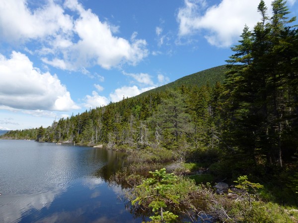
The ascent up Mount Nancy starts right at this northern end of Norcross Pond. The "trail" is pretty good in most places and pretty easy to follow. It is pretty steep though and in a couple of places it gets very brushy. I would not consider it a bushwhack by any stretch of the imagination though. It is simply a trail that probably does not get a lot of use. Unless you are going for the New England Hundred Highest there is probably no point in being there. A lot of people probably some out to Nancy Pond and Norcross Pond and never even bother to climb Mount Nancy.
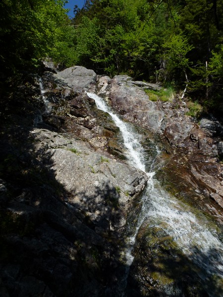
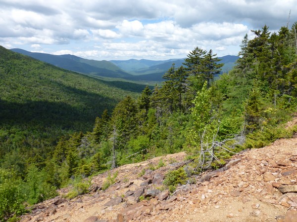
There was one good view on the way up at the Mount Nancy slide.
|
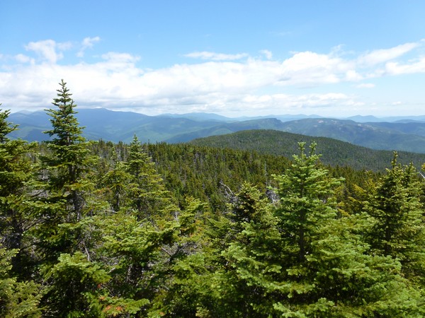
Above the slide the climbing continued and it didn't really level out at all until we were right at the top of Mount Nancy.
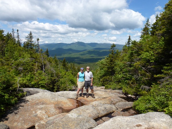
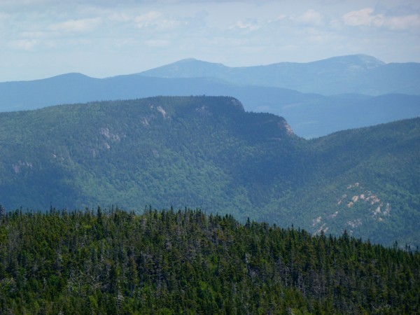
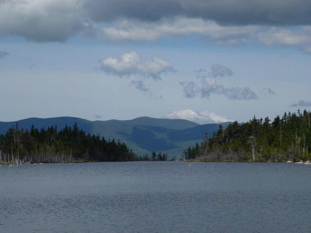
On top of Mount Nancy there was one good view through an opening to the east, across Crawford Notch towards Stairs Mountain on the other side.
|
We stopped back at the northern end of Norcross Pond again after descending from Mount Nancy to relish in the view for a little while longer.
|
We also stopped again at the cascades on the way back to take some more photos.
|
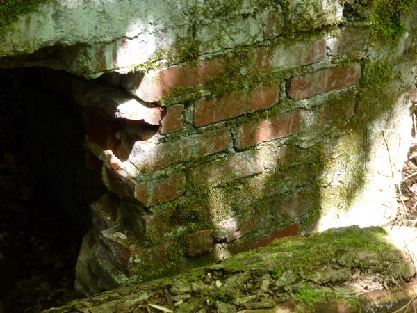
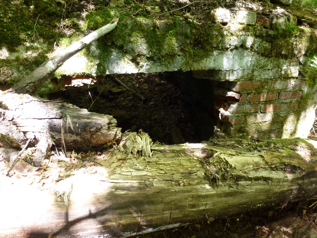
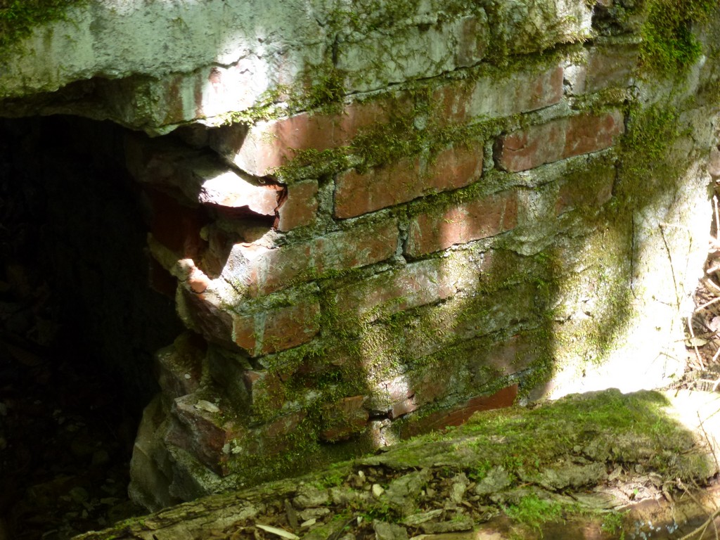
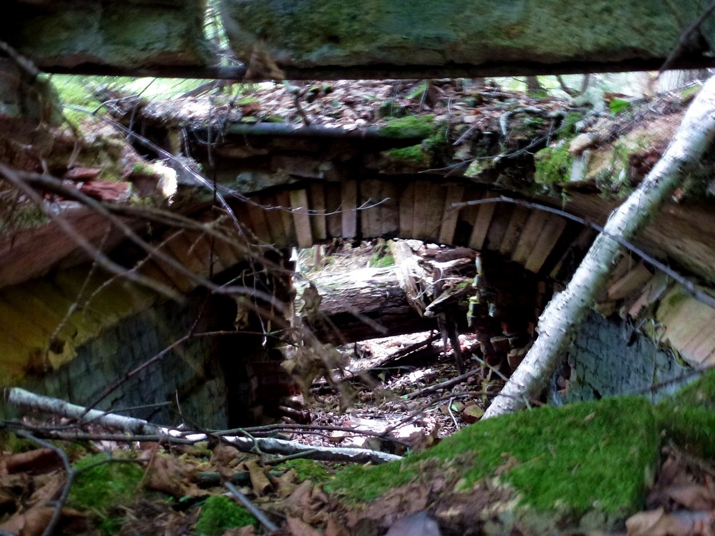
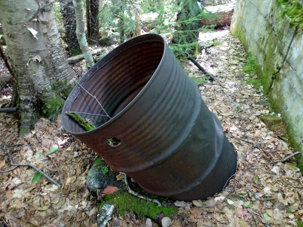
We discovered the ruins of something on the way back that we had obviously missed completely on the way up. This was about a half of a mile east of the cascades and I have no idea what it could have been. It was something big and made out of brick and part of it looked like a furnace or oven of some sort.
|
We got back to the trailhead just a little after 3pm so it took just about 7 hours to do the 10 miles. It was a very leisurely hike.
|
We ended up stopping in Lincoln for ice cream on the way back home. There's nothing like ice cream at the end of a hike!
|
|
|---|
|
|---|


