|
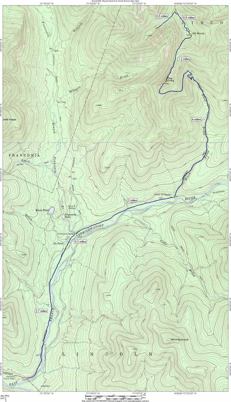
Bondcliff, Mount Bond & West Bond day hike |
|---|
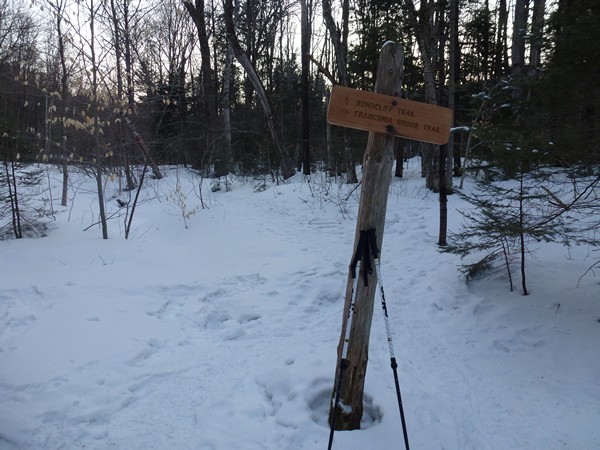
This day hike started at the parking area across the road from Forest Road FR25 right off of US Route 3 in Bethlehem. The road to the Gale River Trail trailhead is closed in winter which adds an addtional 1.6 miles each way to the hike. From the parking area we followed the road to the trailhead and then took the Gale River Trail, to the Garefield Ridge Trail, to the Frost Trail to the summit of Mount Galehead, returning the same way.
|
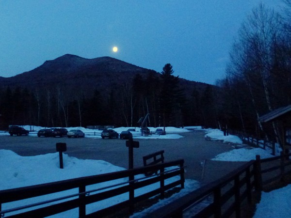
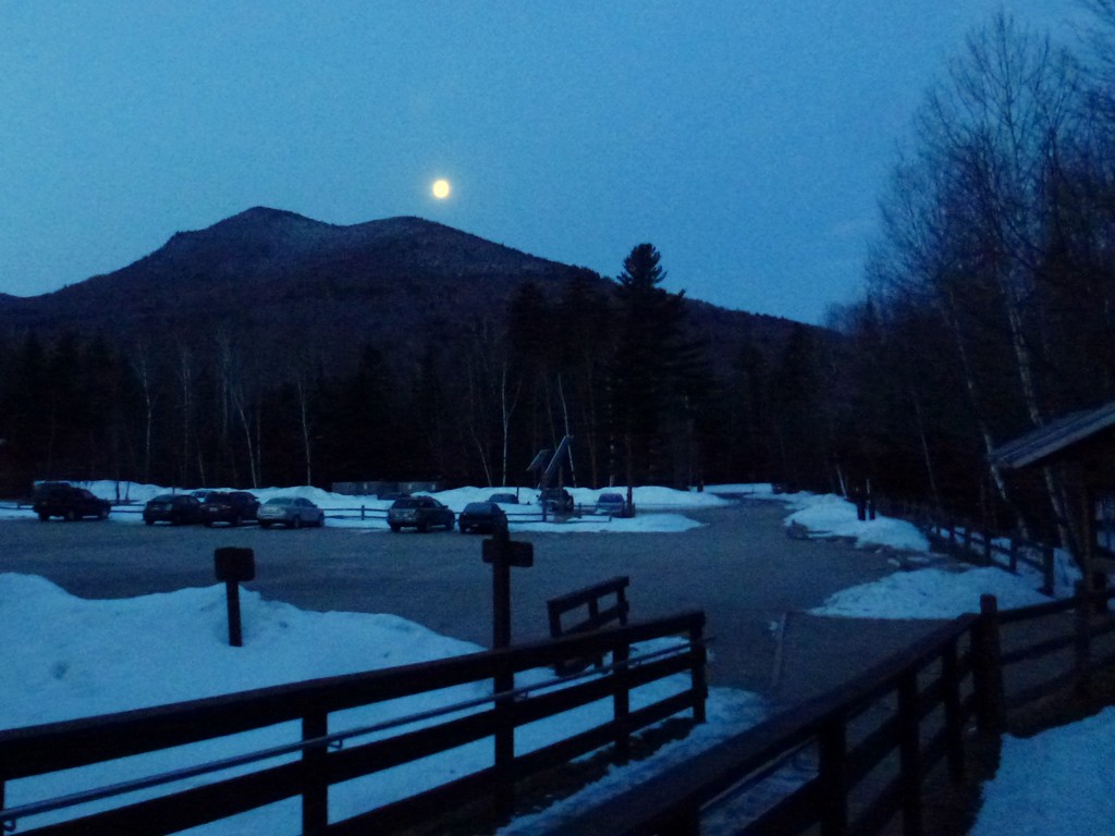
The starting point for this hike was the parking area at the Lincoln Woods trailhead, about 5 miles east from I-93 on NH route 112 (Kancamagus Highway) in Lincoln. I was hoping to start by 6:30 and ended up being only about 10 minutes late on that which wasn't so bad. Being this was the first day of daylight savings time the sun would be coming up and going down an hour later than normal so the timing was pretty good for it. There was a full moon setting over the west side of the parking lot when I arrived and the sun would be coming up a little before 7 am.
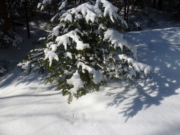
The weather forcast for the day was supposed to be absolutely beautiful for mid-March in the White Mountains. I had bright blue and sunny skies for the entire day and the temperature was in the mid 40s up on the peaks and even warmer along the river. The trail was in pretty good condition for the morning hike and along the ridges but the snow was melting and starting to get pretty mushy late in the afternoon at the lower elevations.
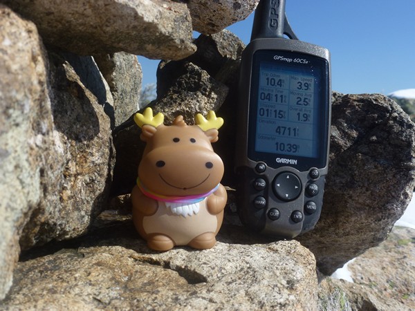
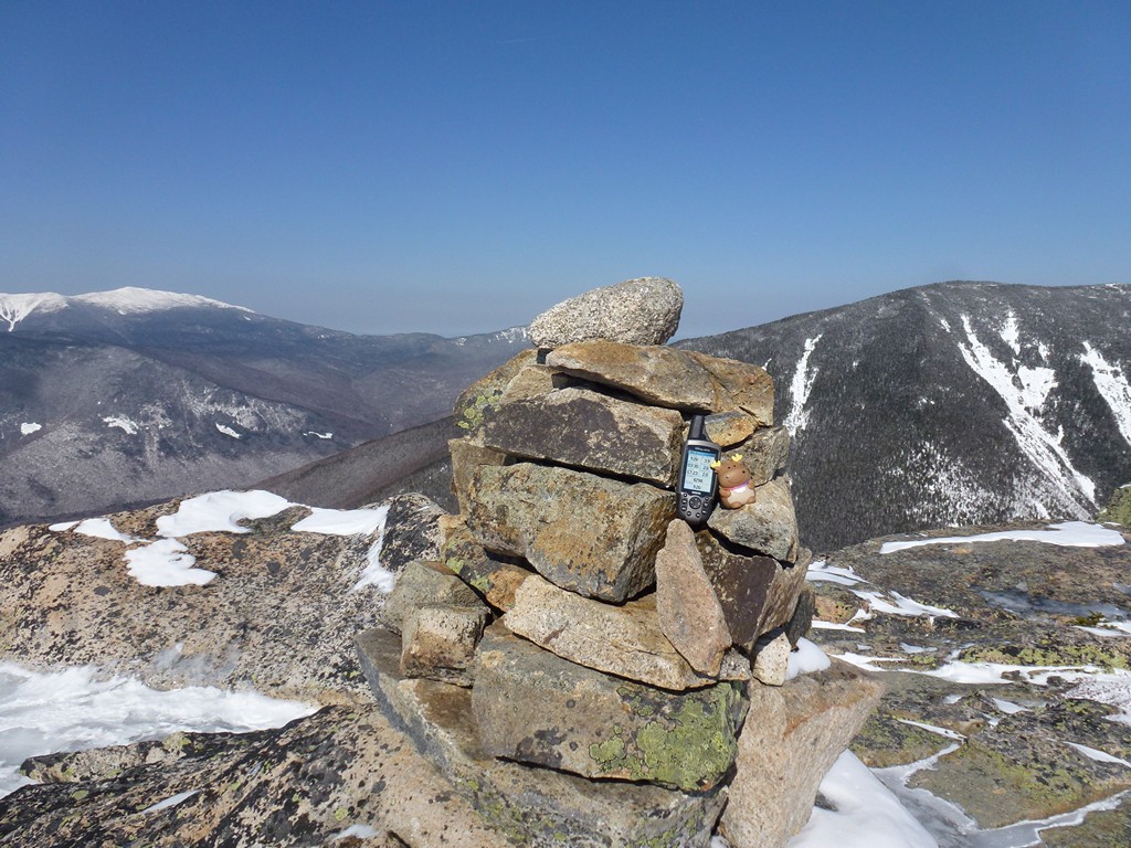
The Bonds would be peak numbers 18, 19 and 20 on my winter 4000-footer list.
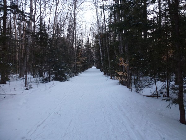
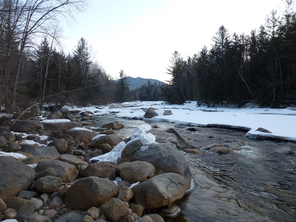
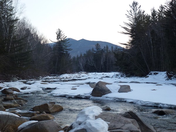
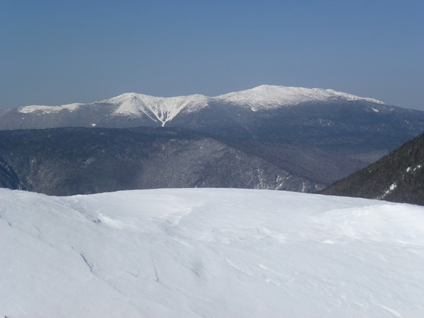
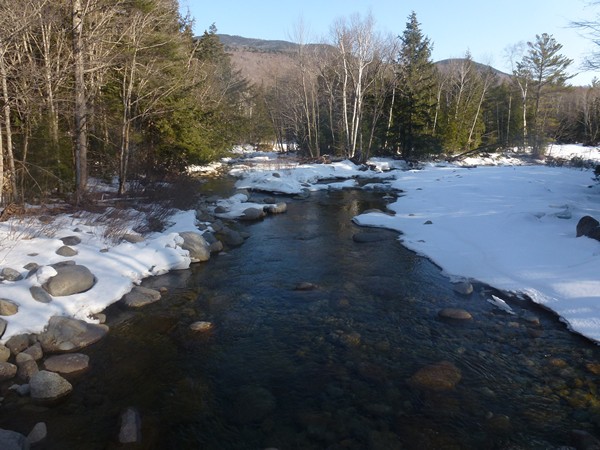
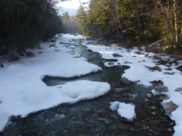
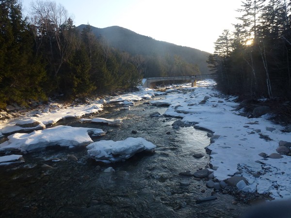
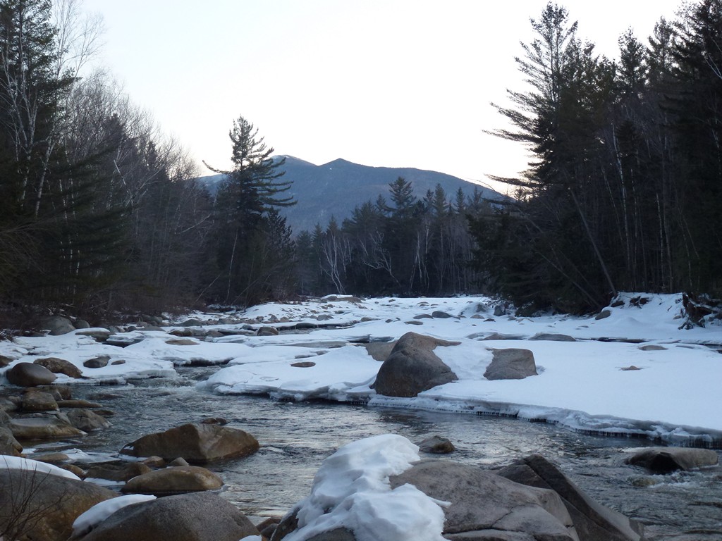
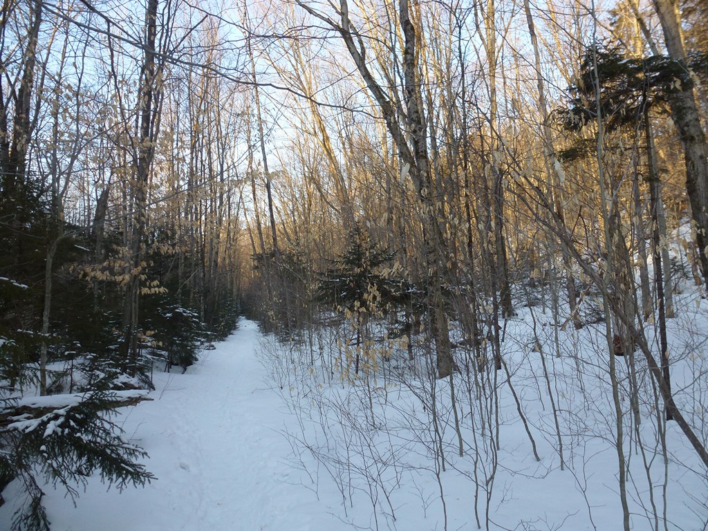
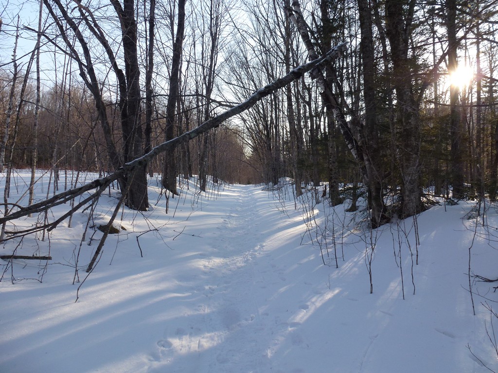
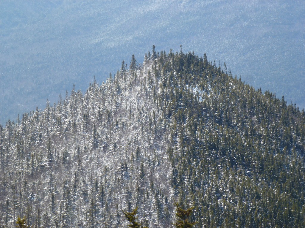
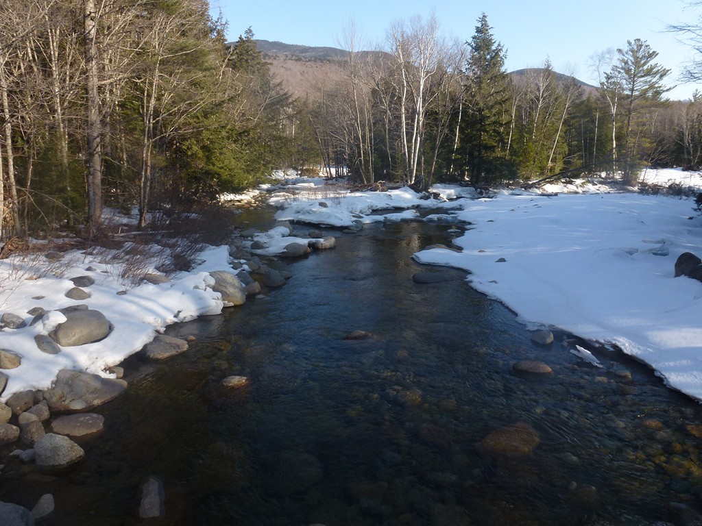
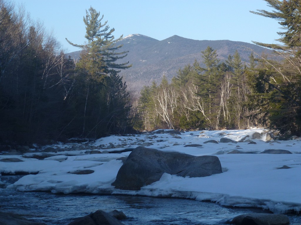
The Lincoln Woods Trail was a little on the dark side in the morning because the sun had not yet come up. There was still plenty of light to see by since the sun would be up shortly. I made excellent times on those first three miles, starting down the trail at just about 6:45 and arriving at the Wilderness Trail just after 7:45. I made a couple of quick stops for photos along the way, one for some shots of the Pemigewasset River with the Bonds in the background, and another at the bridges that crosses Lincoln Brook.
|
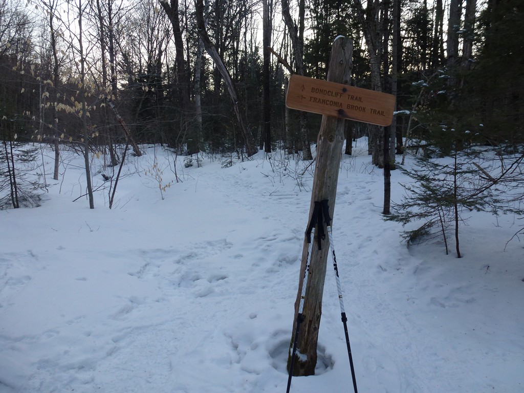
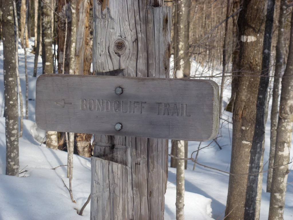
The stretch along the Wilderness Trail from the Lincoln Woods Trail to the Bondcliff Trail was almost as fast and I covered those two miles in about 45 minutes. It was right around 8:30 when I started up the Bondcliff Trail. I made a few short stops for photos along the trail just because everything started to look so pretty when the sun finally came up.
|
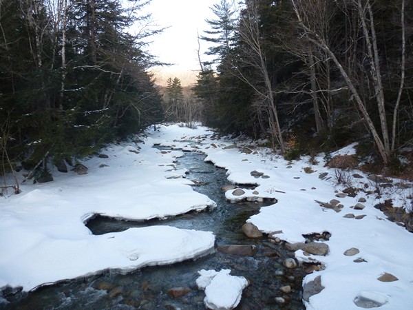
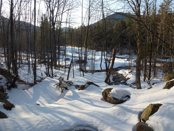
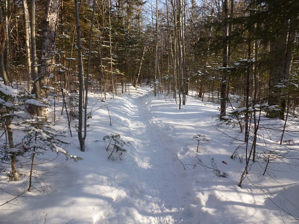
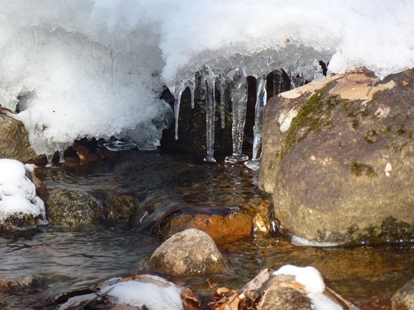
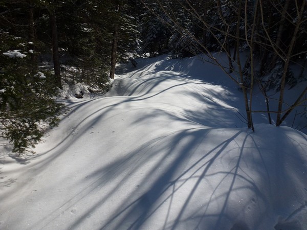
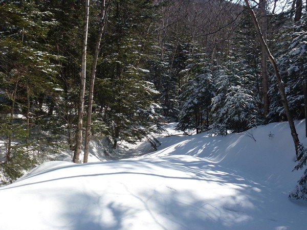
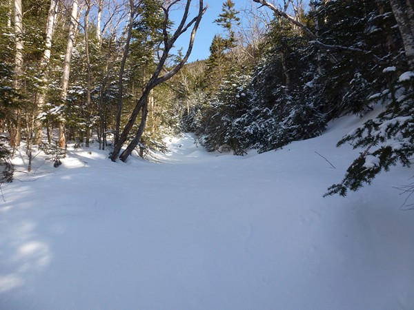
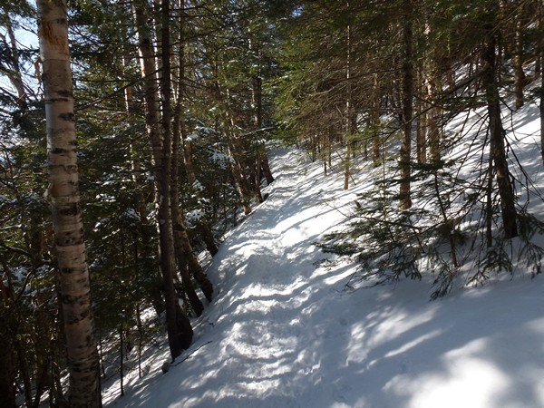
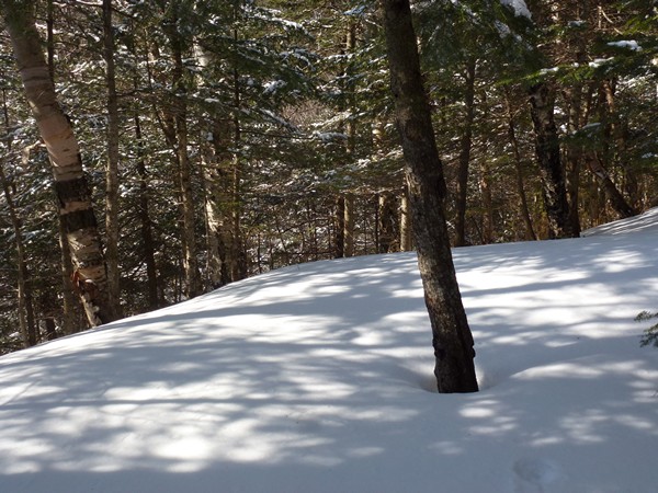
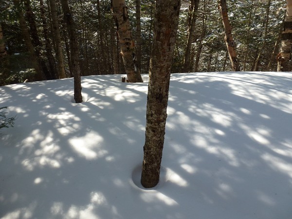
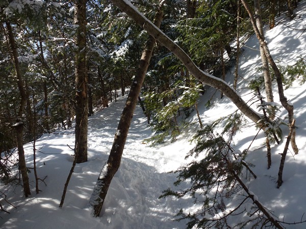
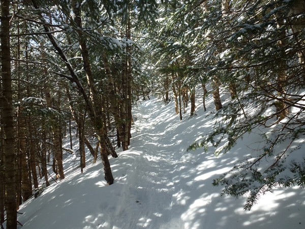
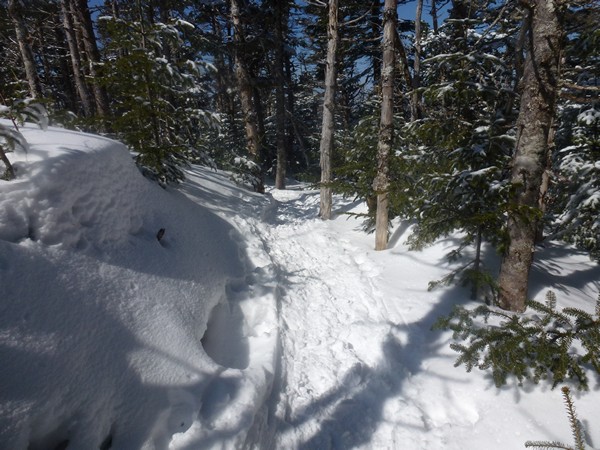
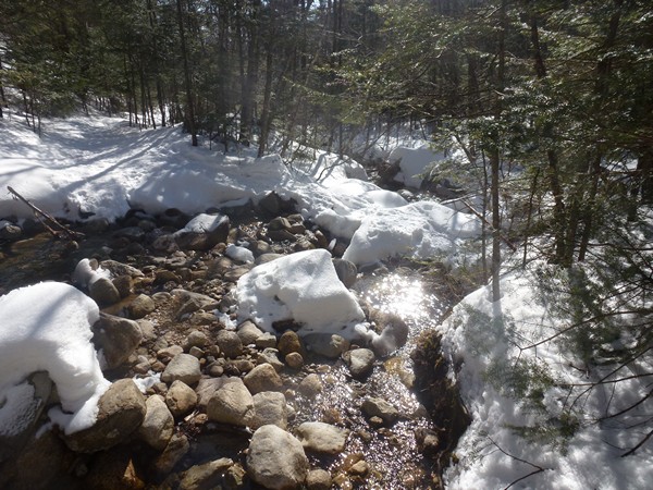
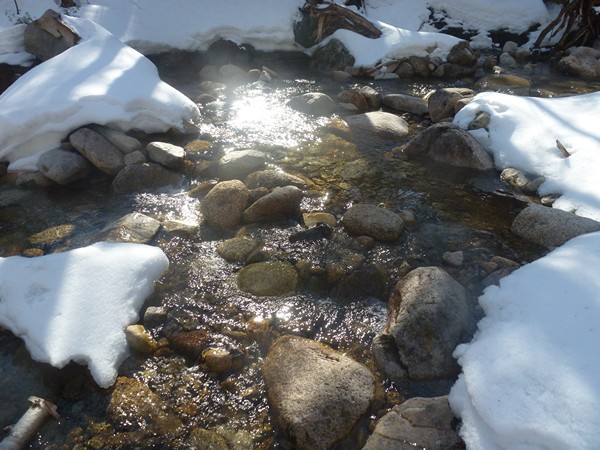
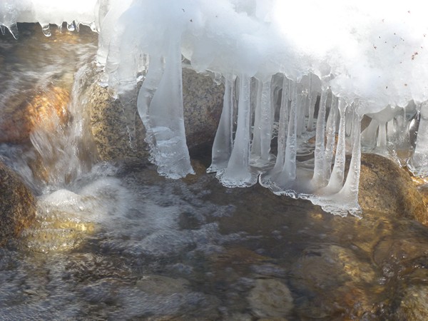
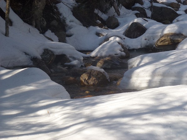
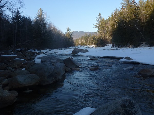
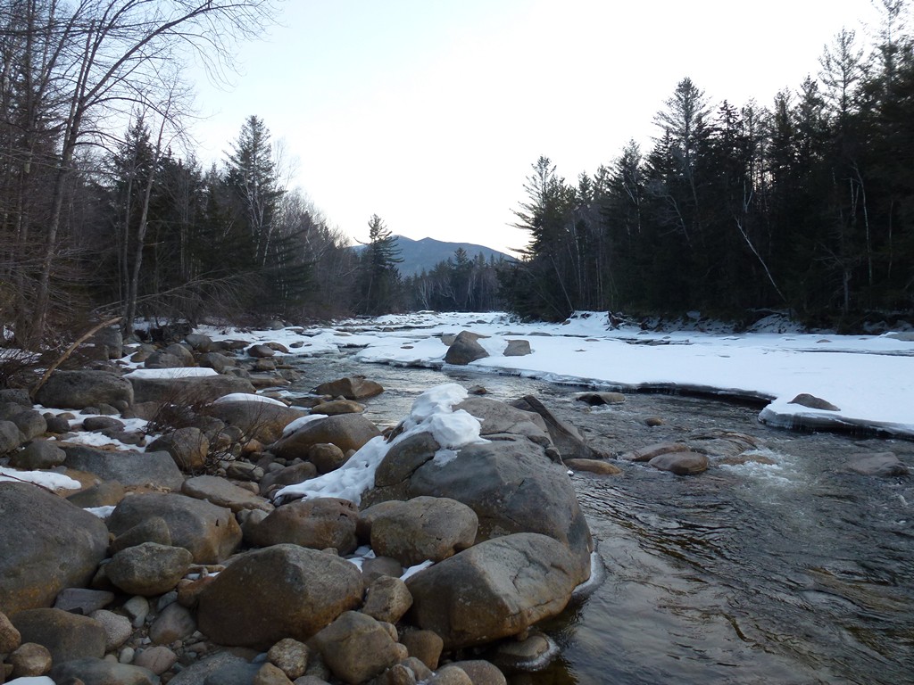
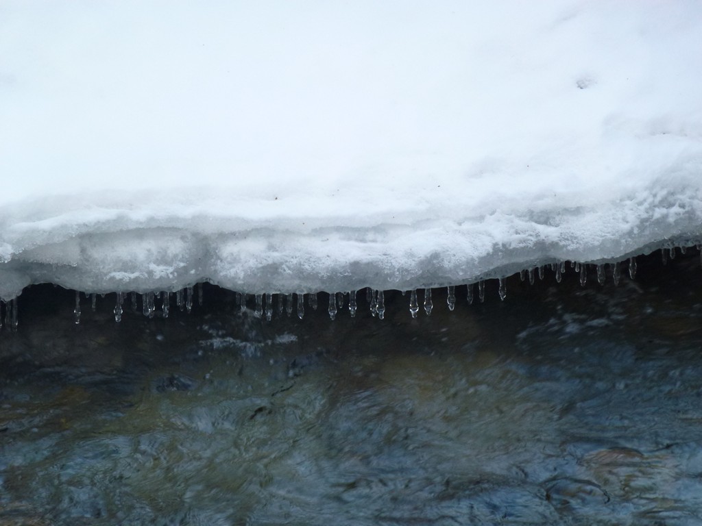
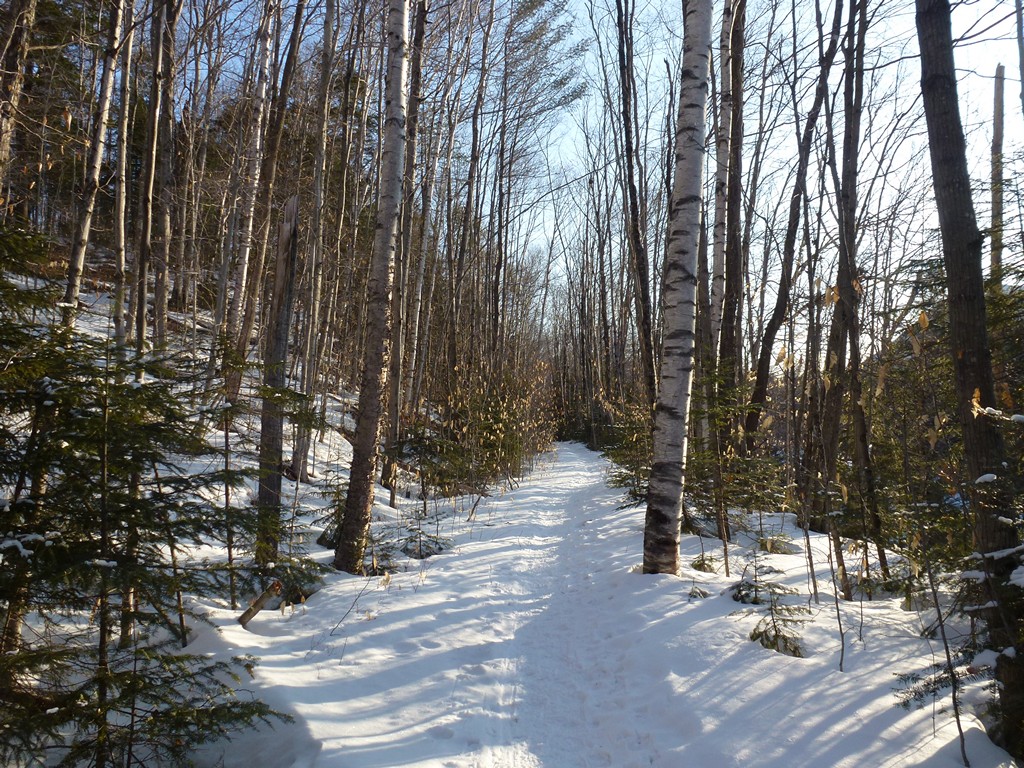
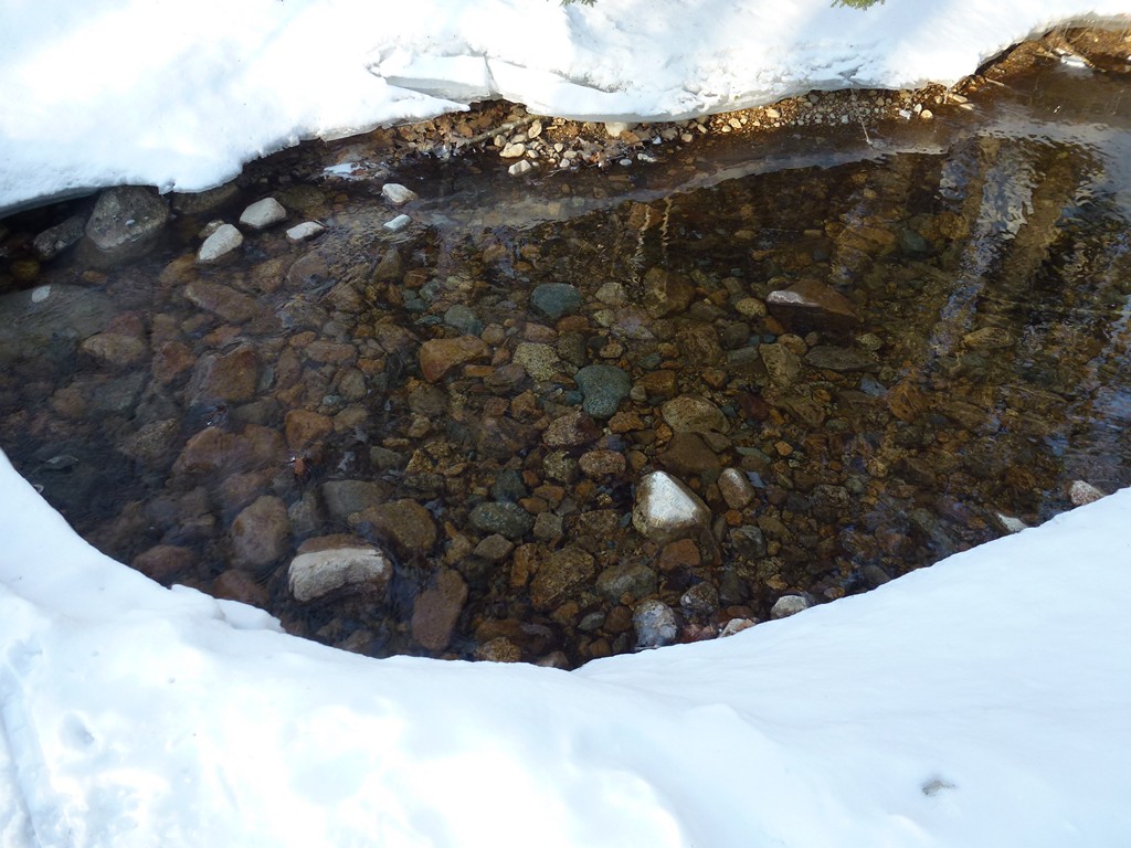
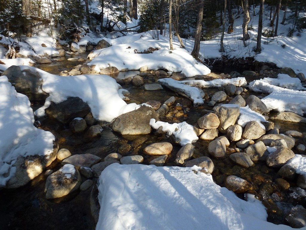
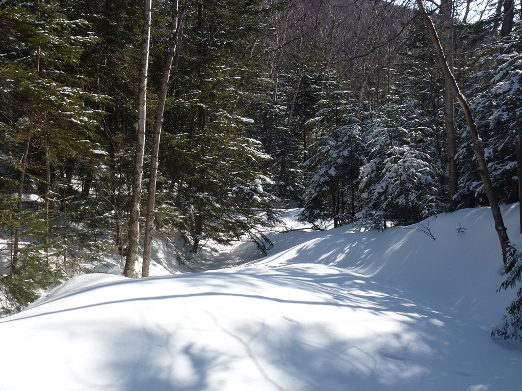
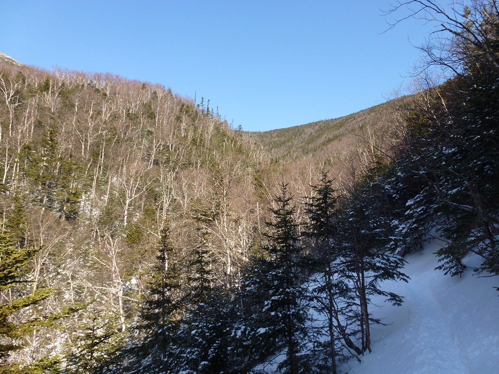
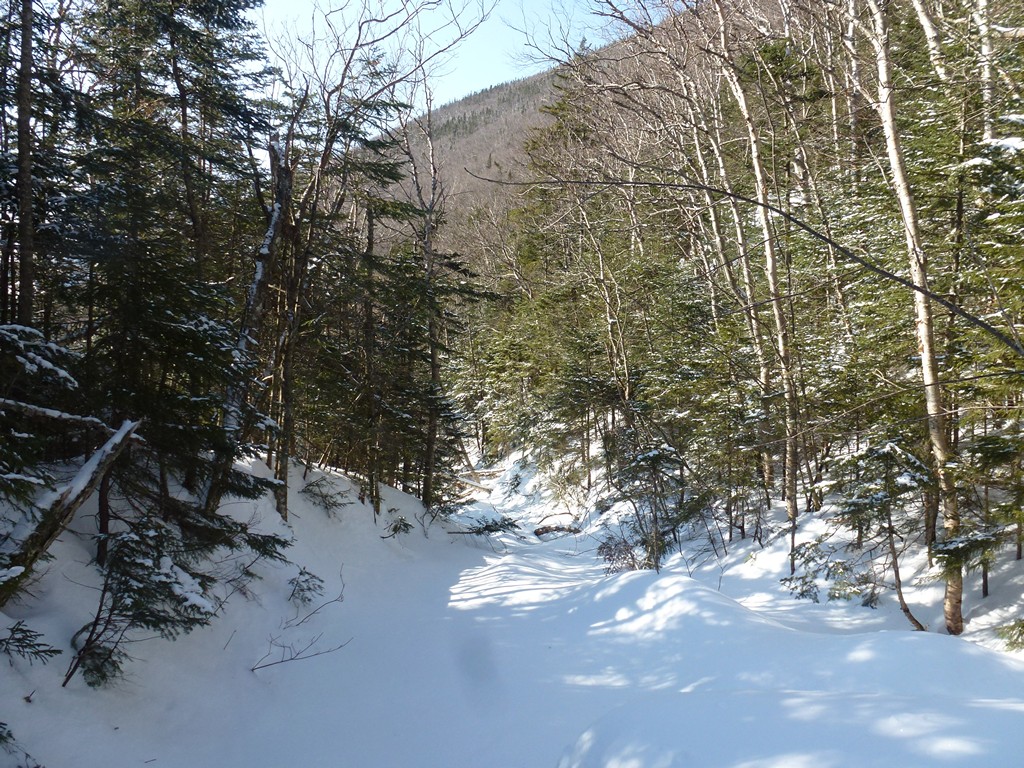
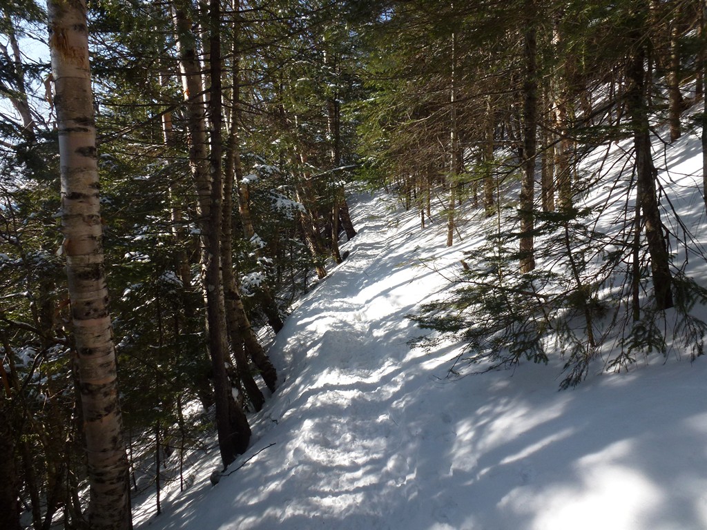
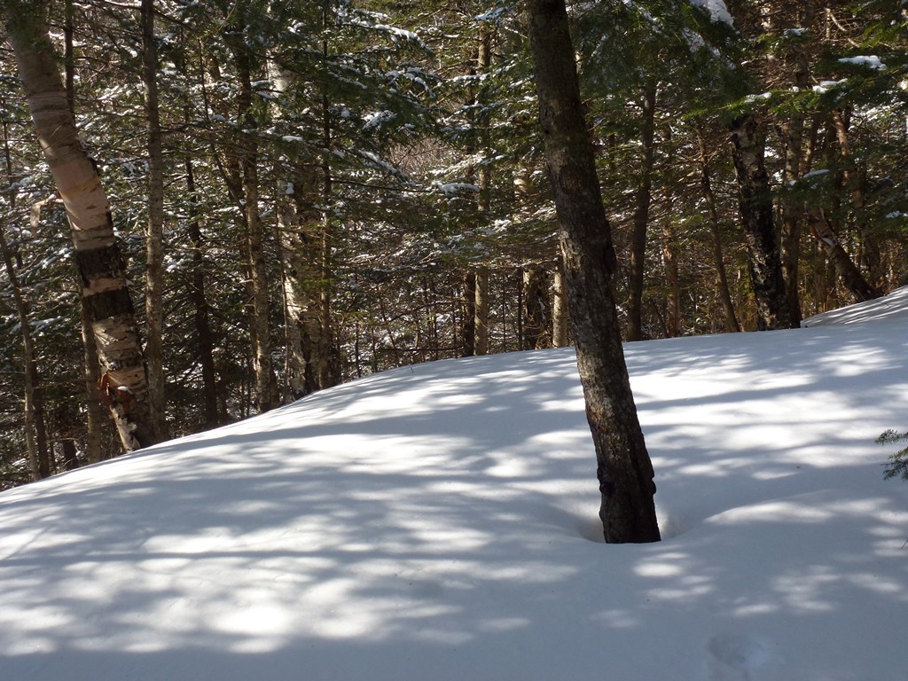
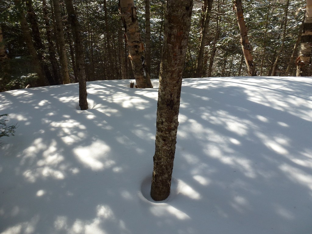
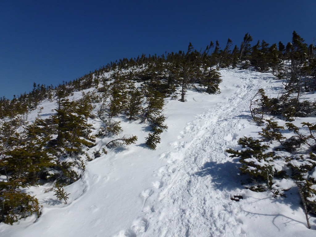
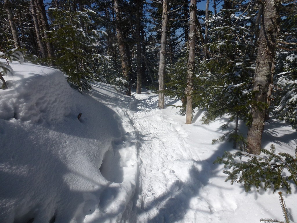
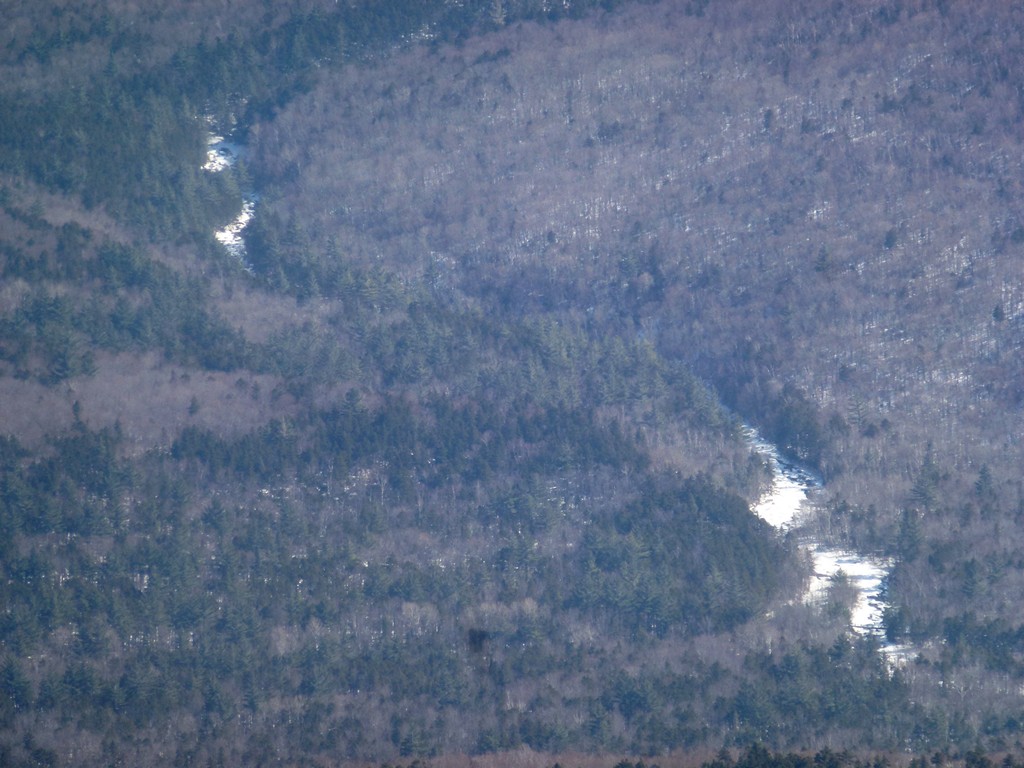
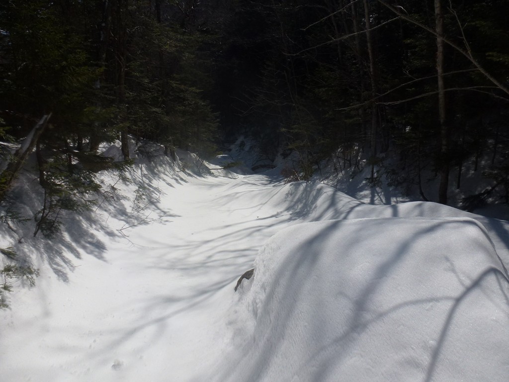
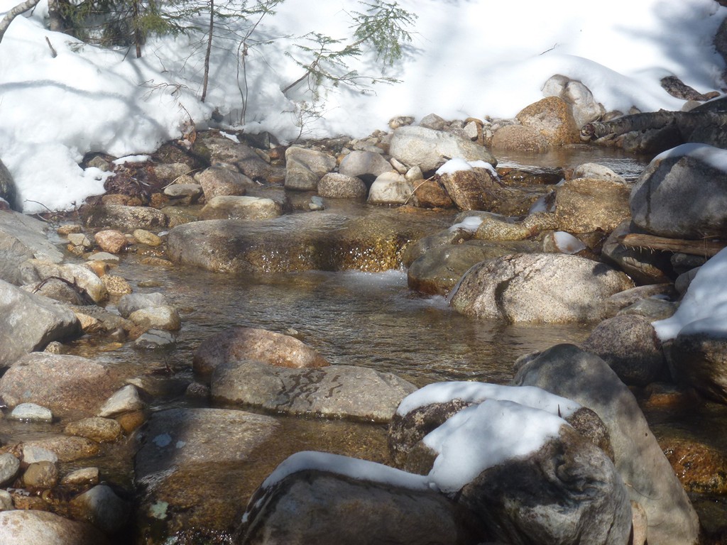
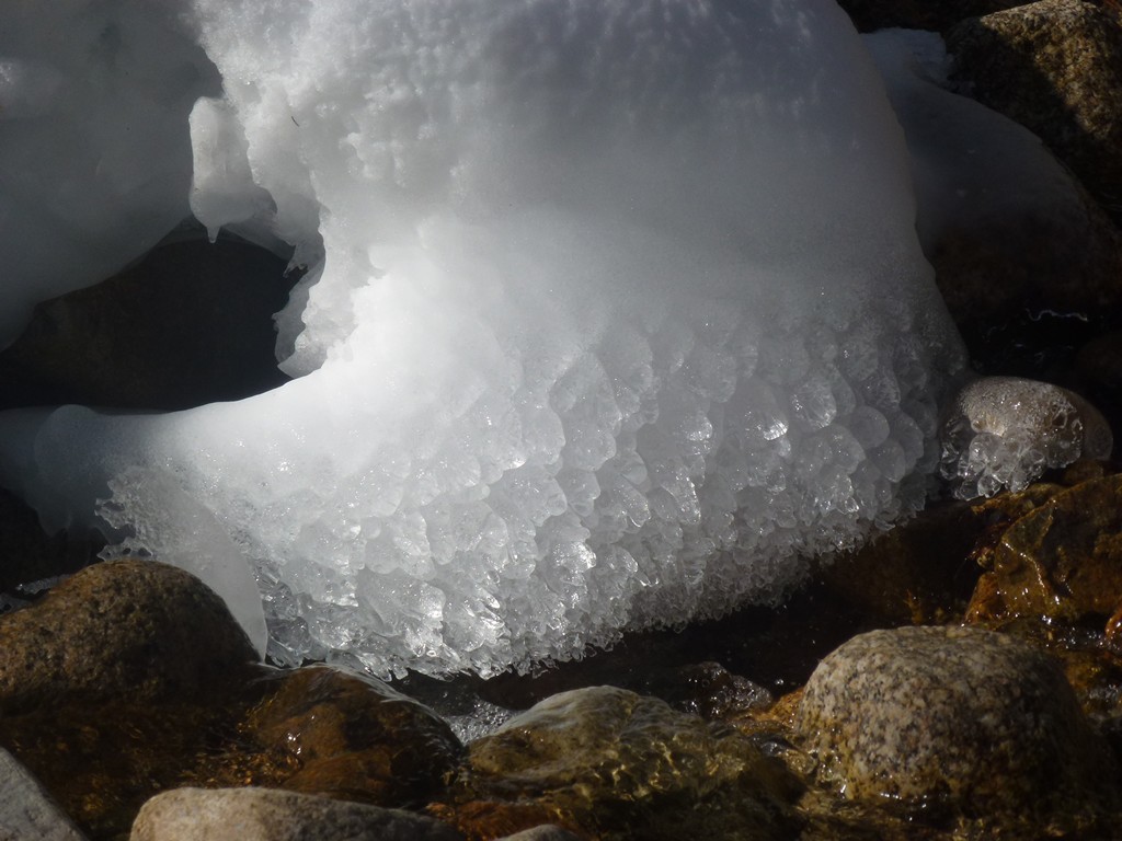
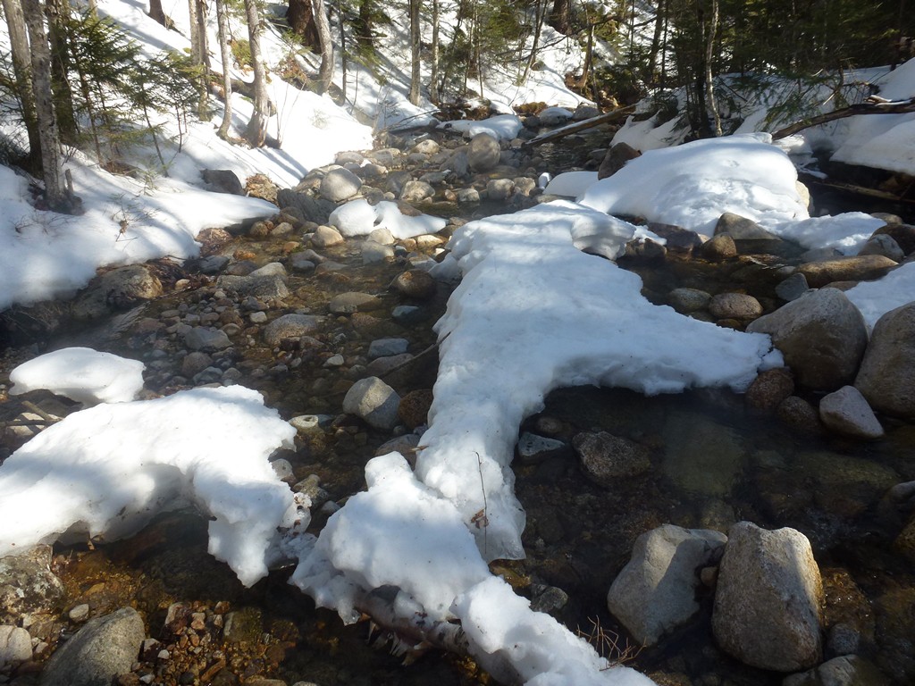
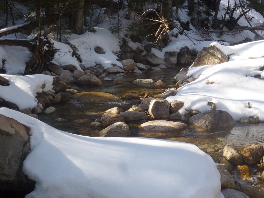
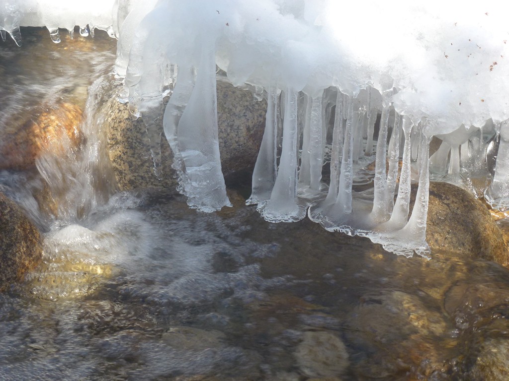
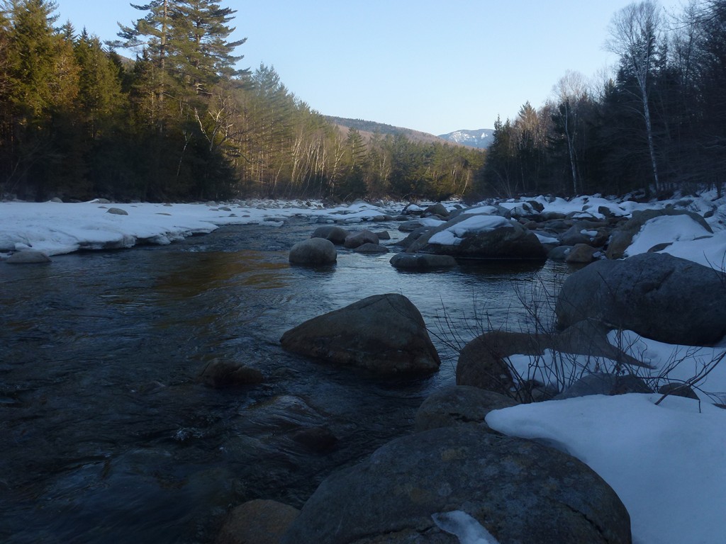
The lower portion of the Bondcliff Trail was very easy to navigate and the trail was in good condition. The snow off to either side of the trail was still pure white but there didn't appear to have been any fresh snow added in recent days. The trail itself was well packed and I was fine with just my microspikes. The lower section of the trail follows along Black Brook and crosses it a few times. All of the snow/ice bridges at the crossings were gone already but there were plenty of rocks to use at the crossings and the water level was not high enough to create any problems.
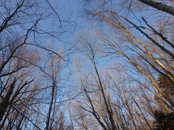
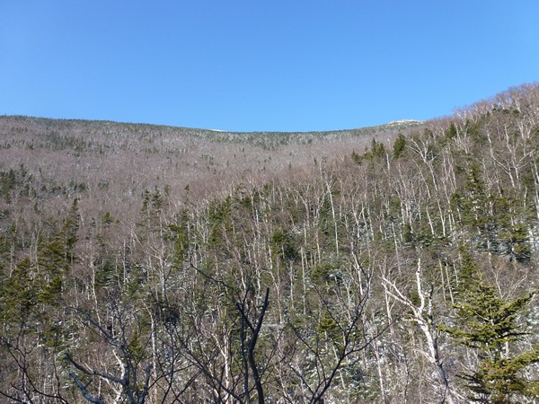
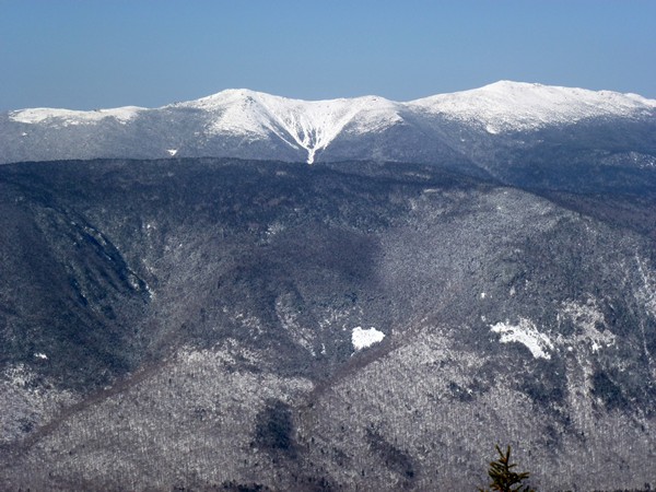
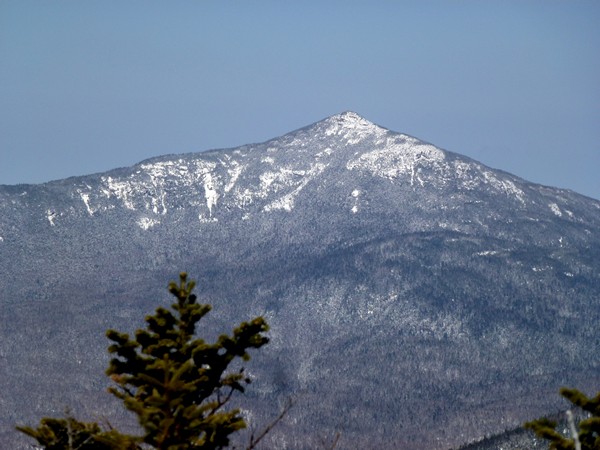
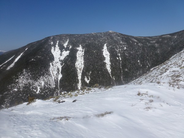
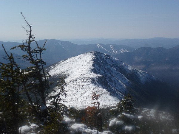
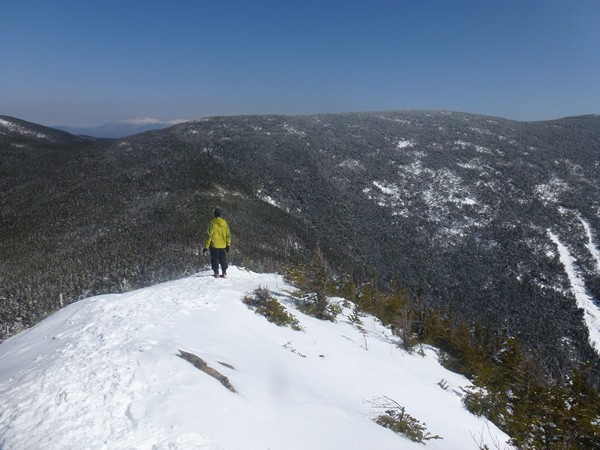
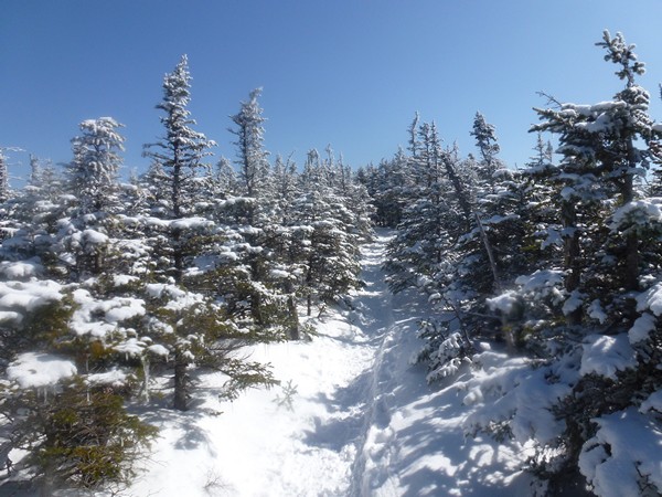
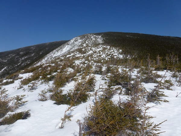
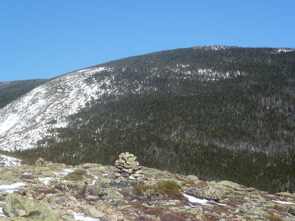
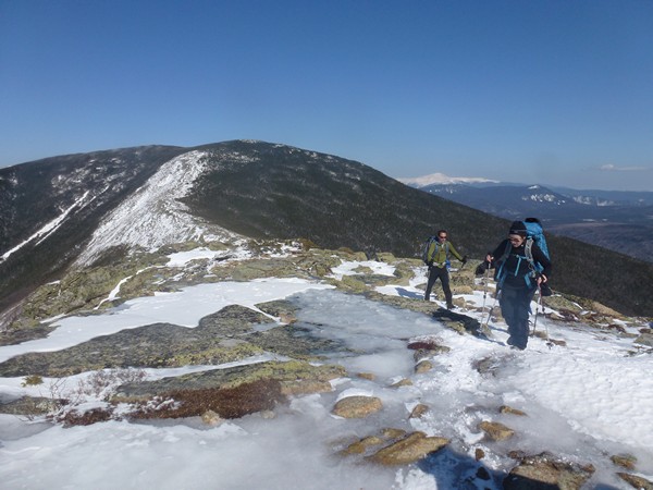
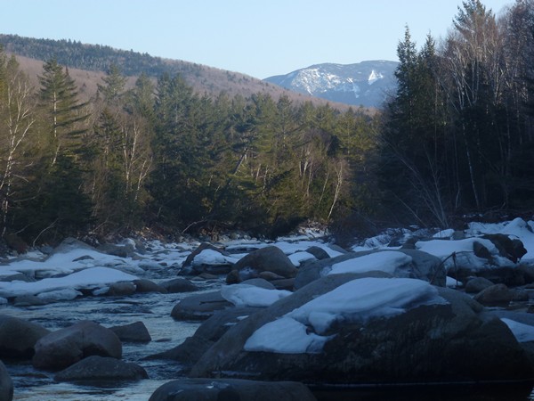
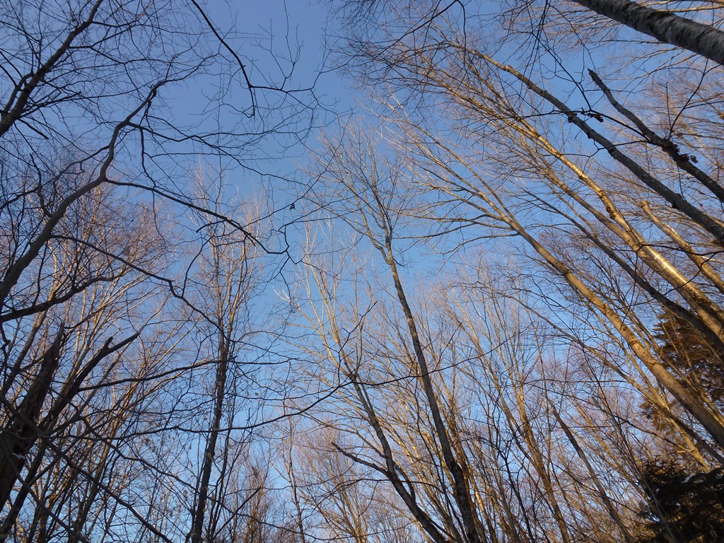
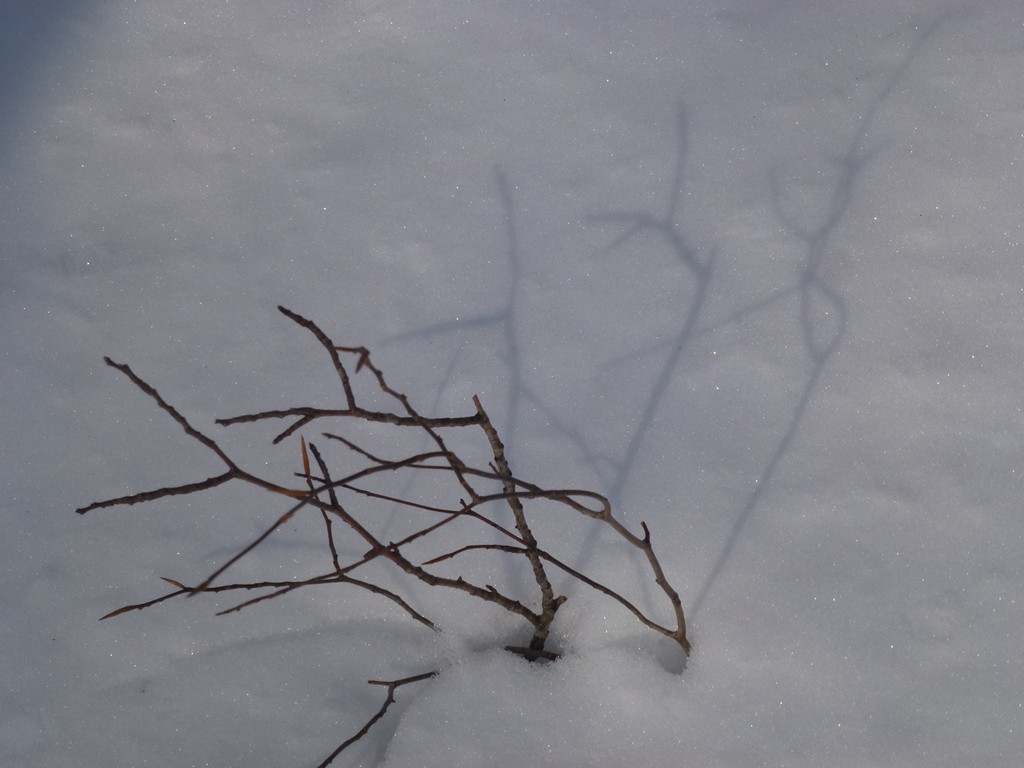
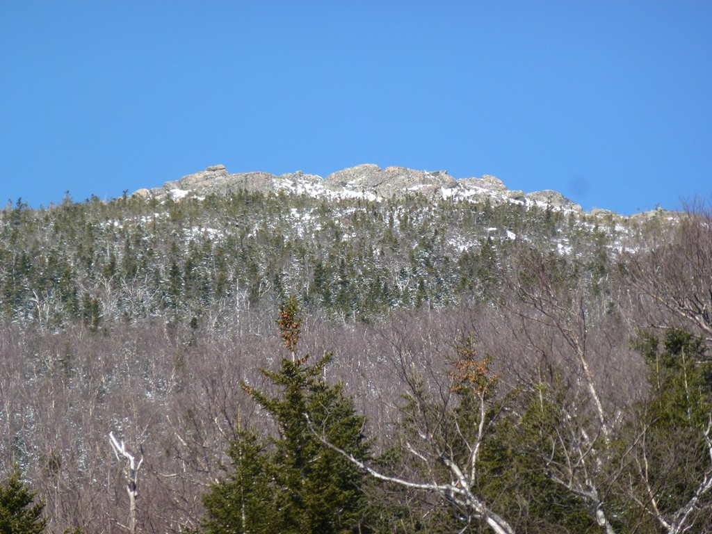
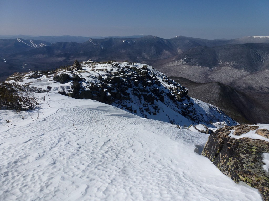
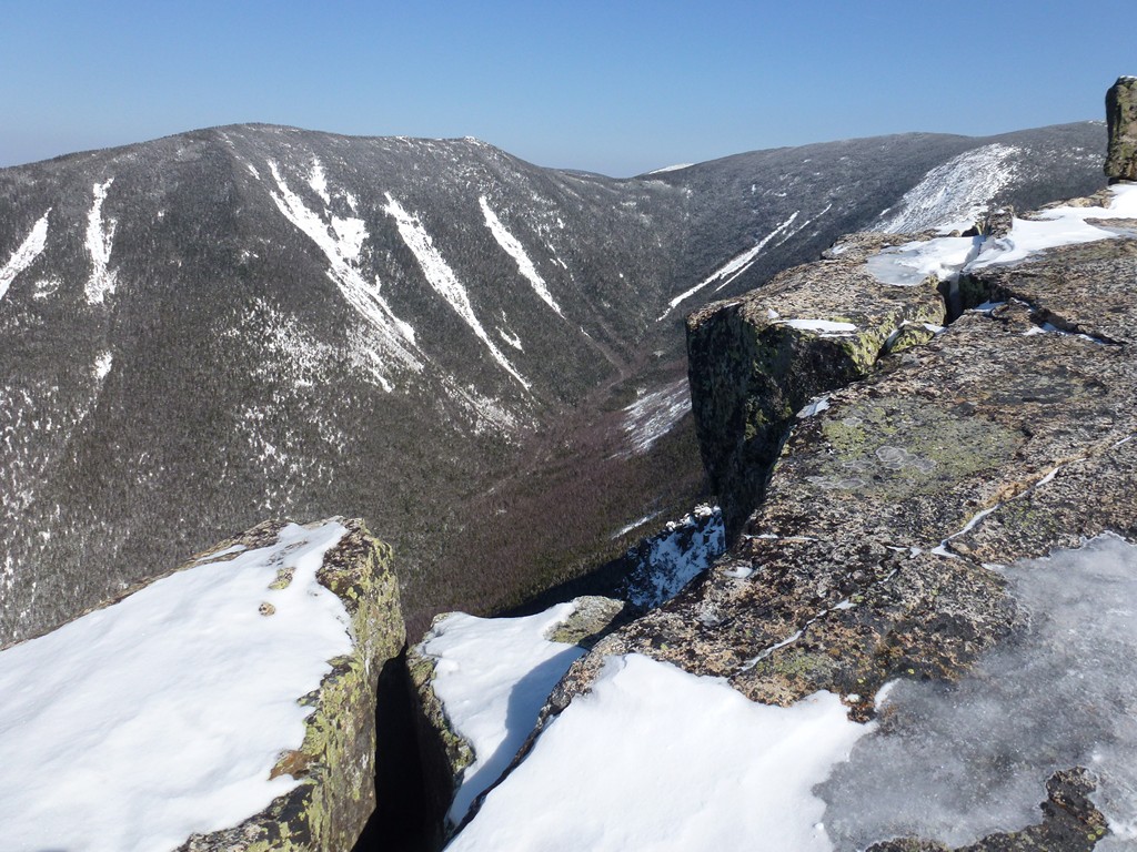
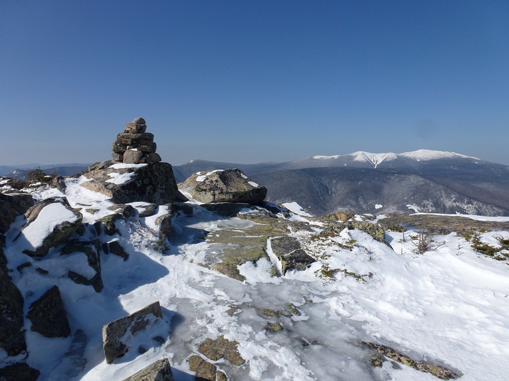
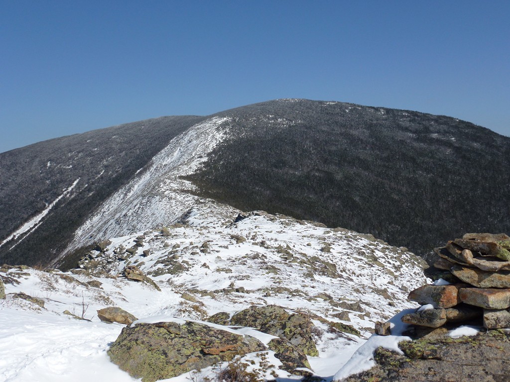
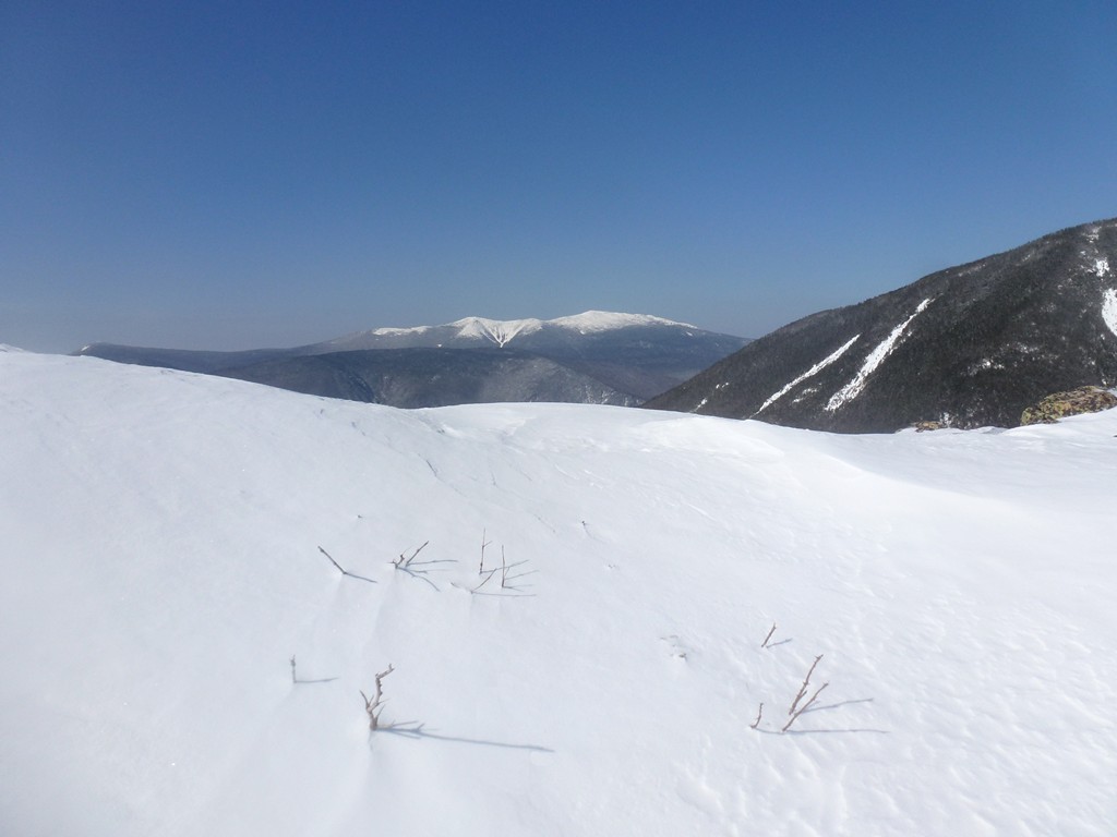
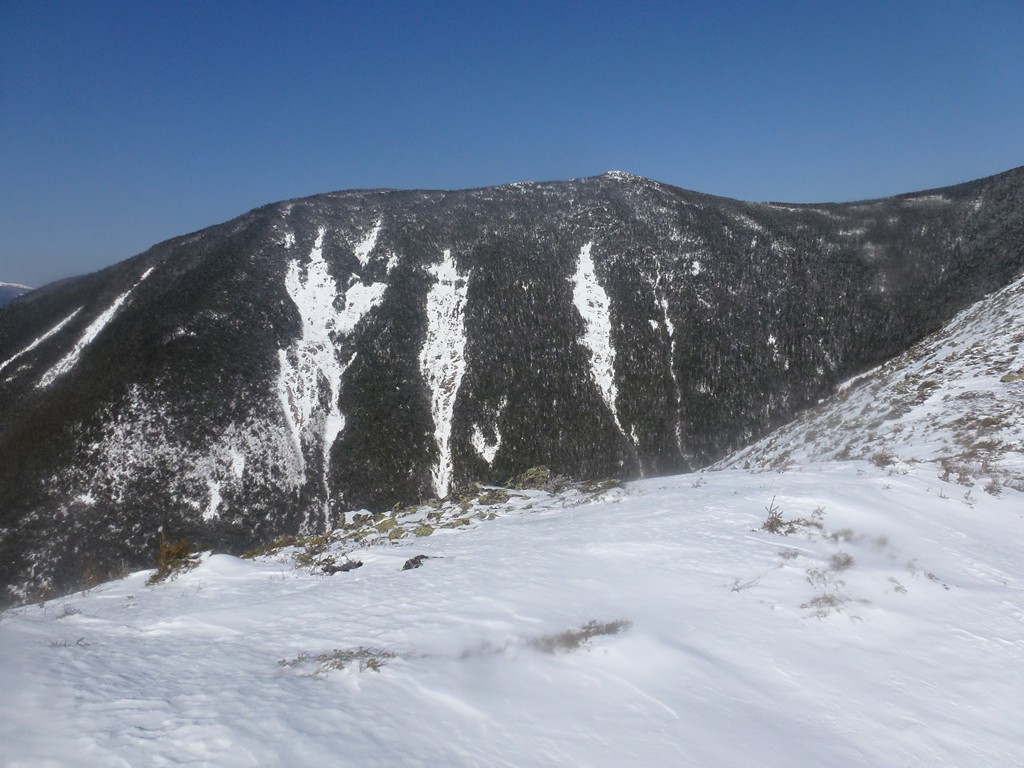
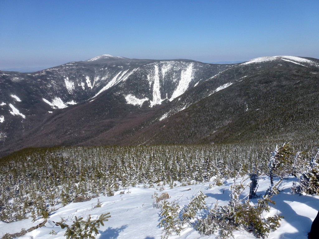
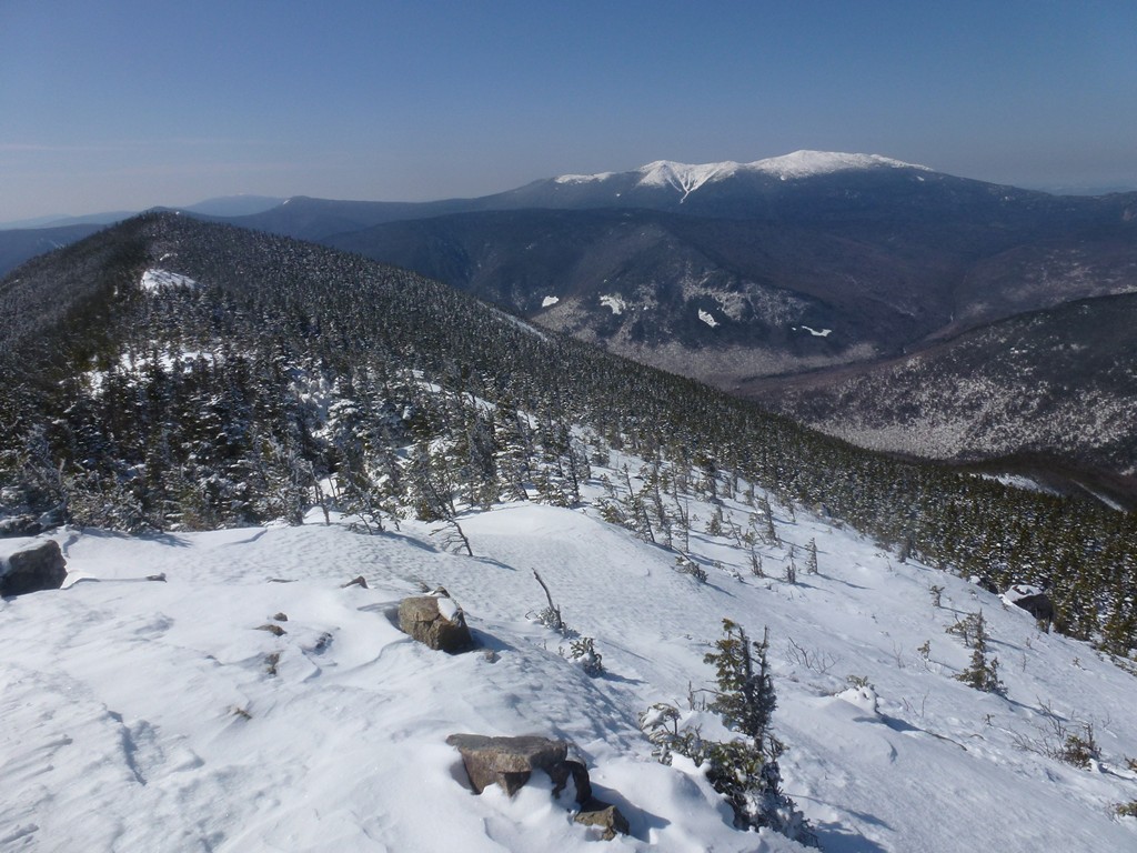
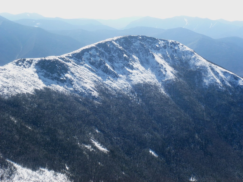
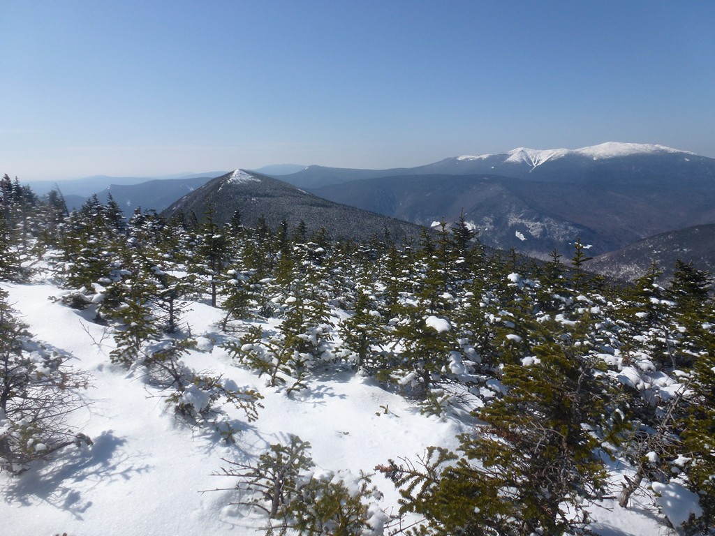
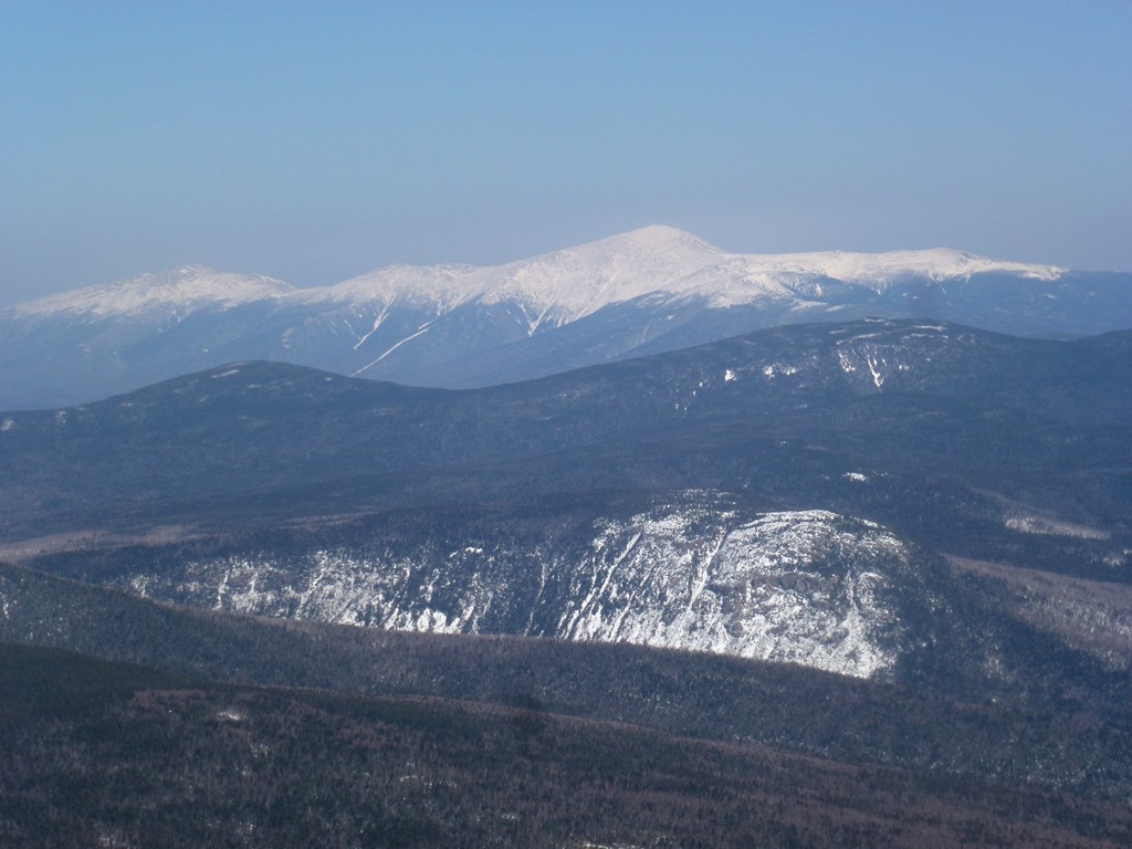
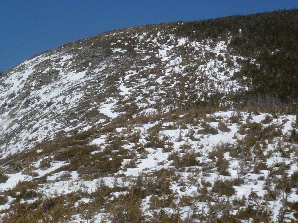
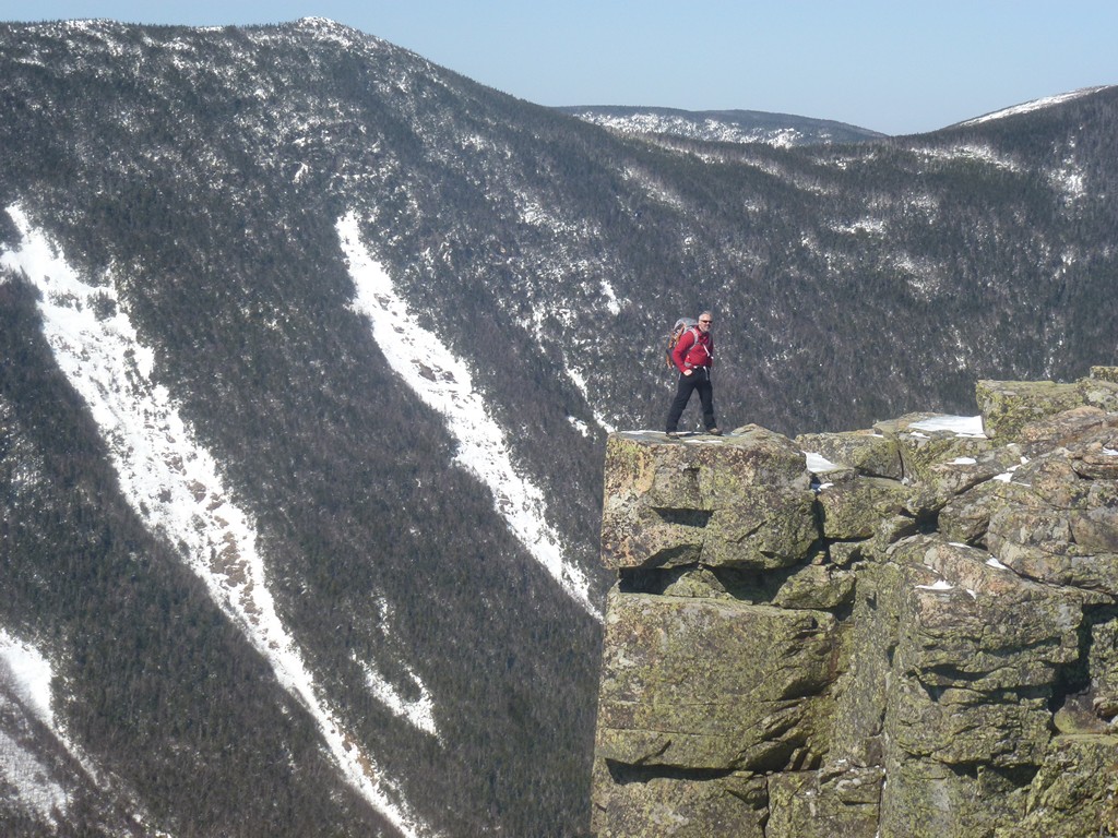
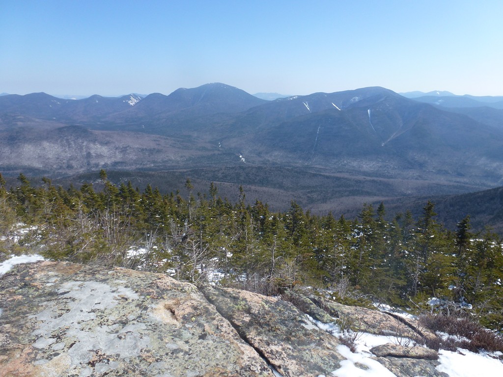
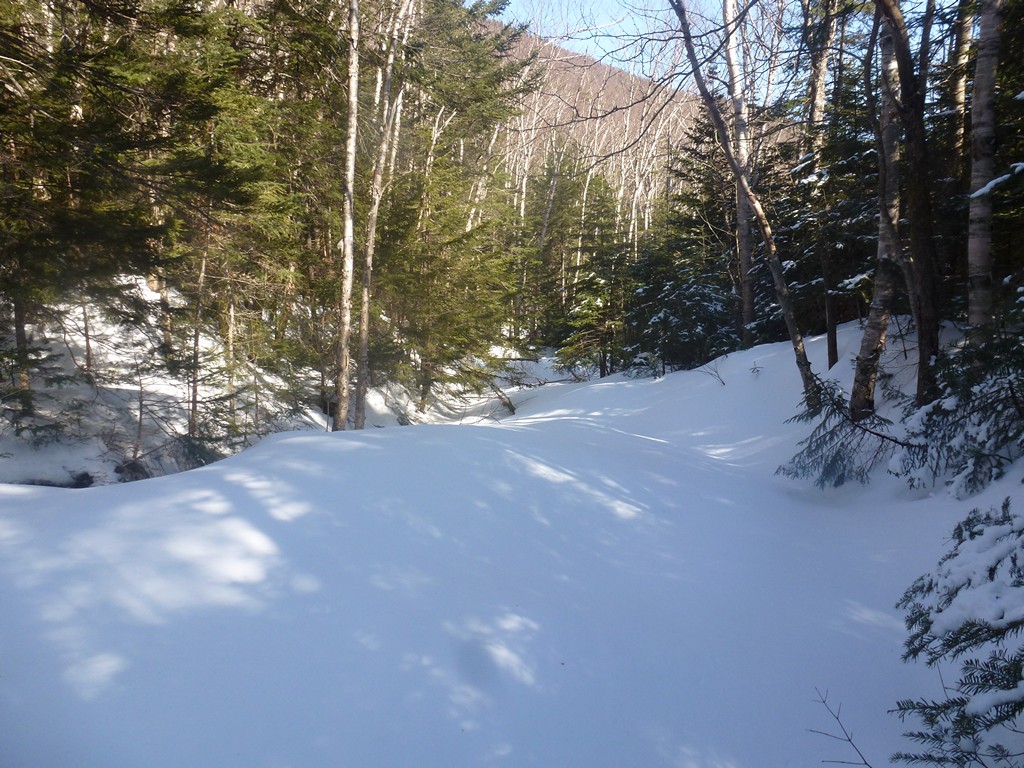
Theere were some fabulous views of Bondcliff from the upper sections of the trail and hiking in the section just before it breaks out above the treeline was gorgeous. There was a little more snow at the higher elevations and a couple of short sections where snowshoes would have been helpful.
|
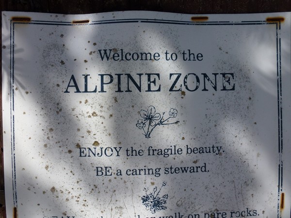
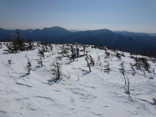
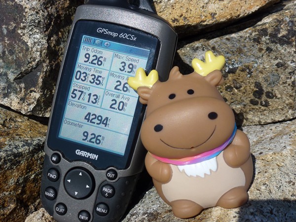
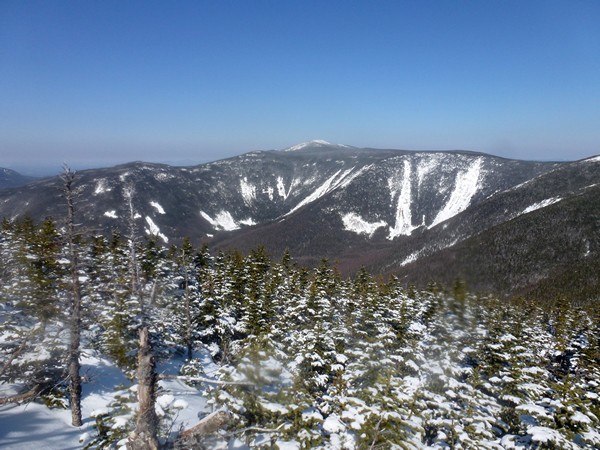
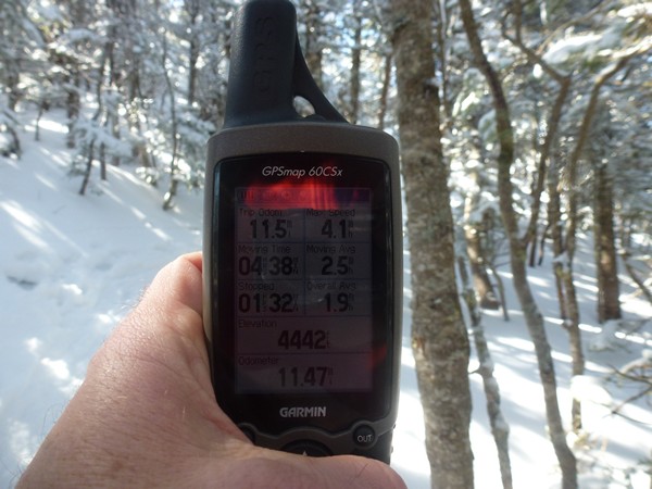
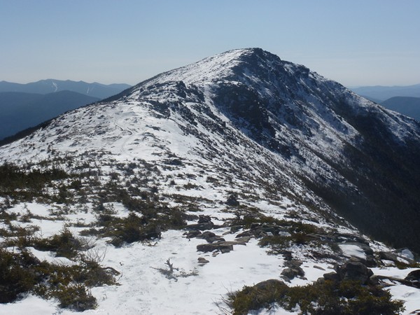
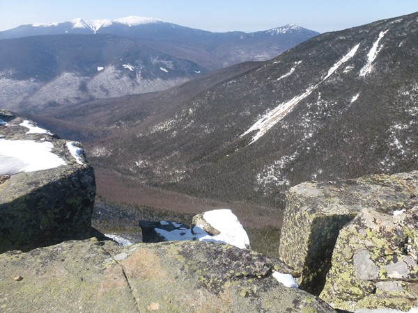
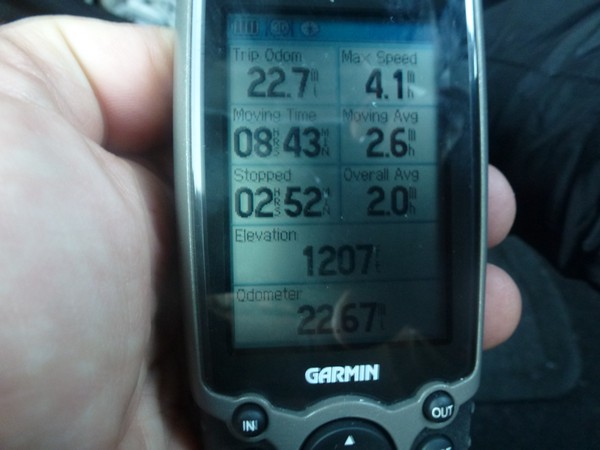
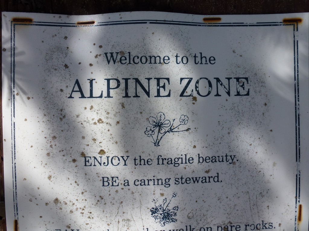
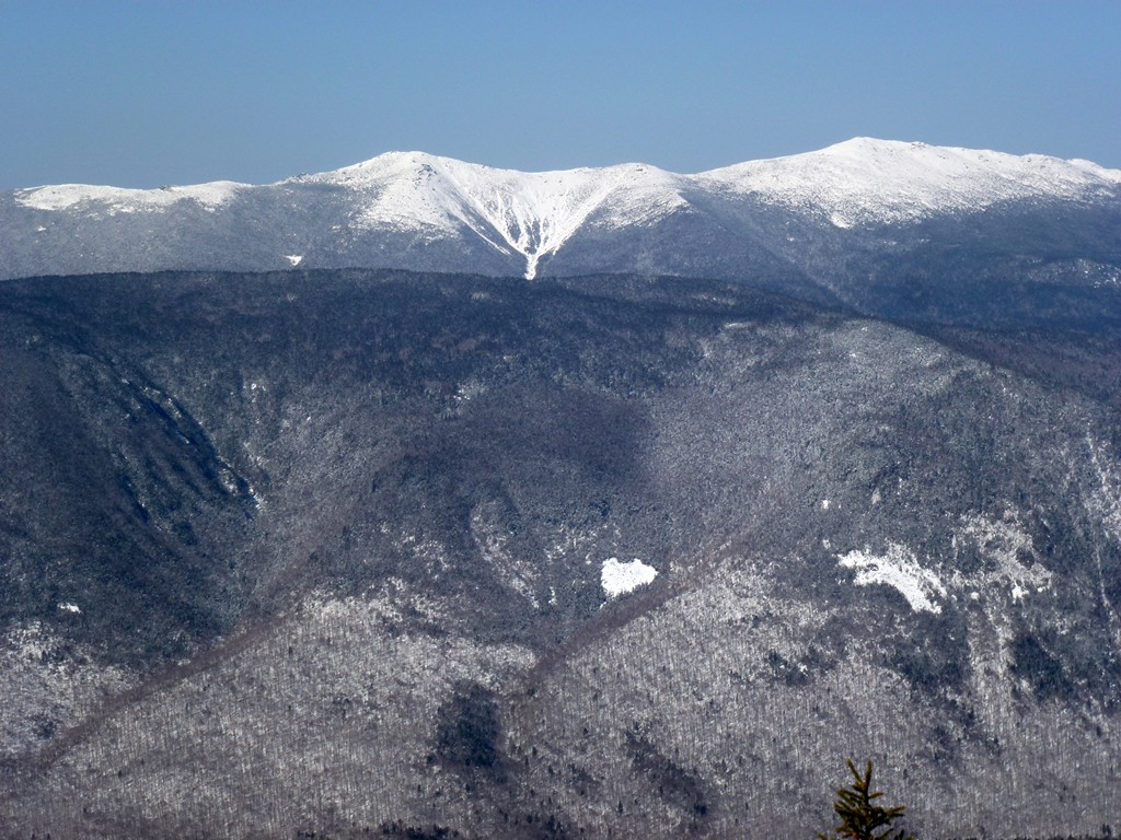
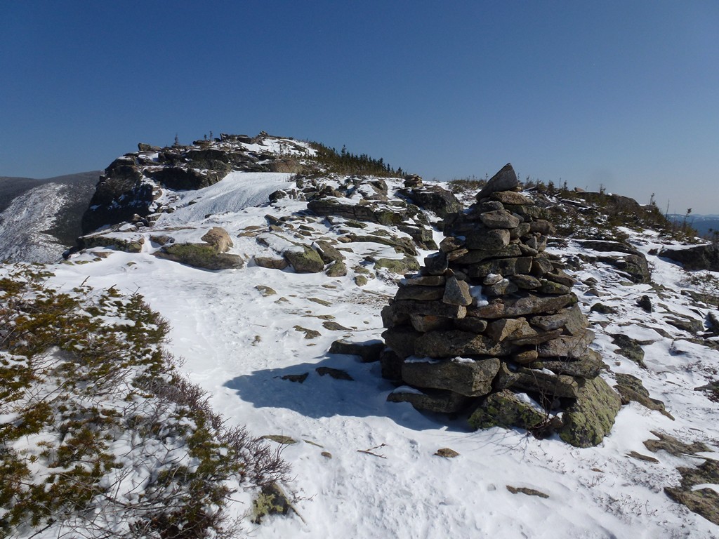
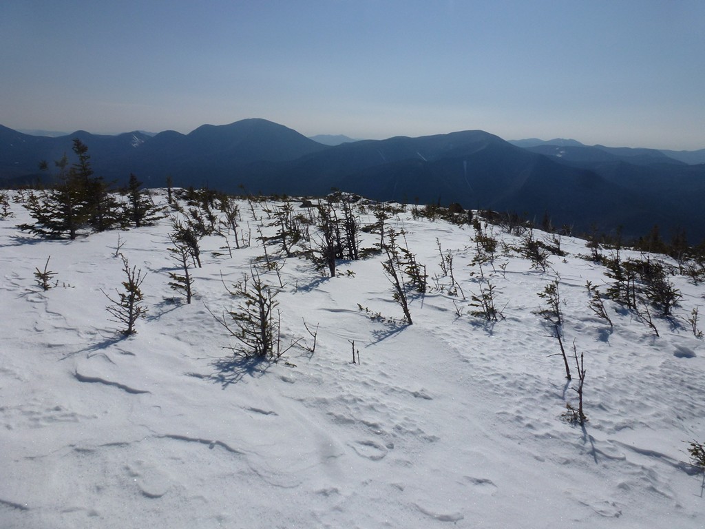
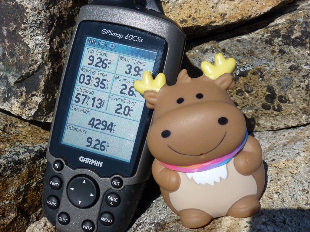
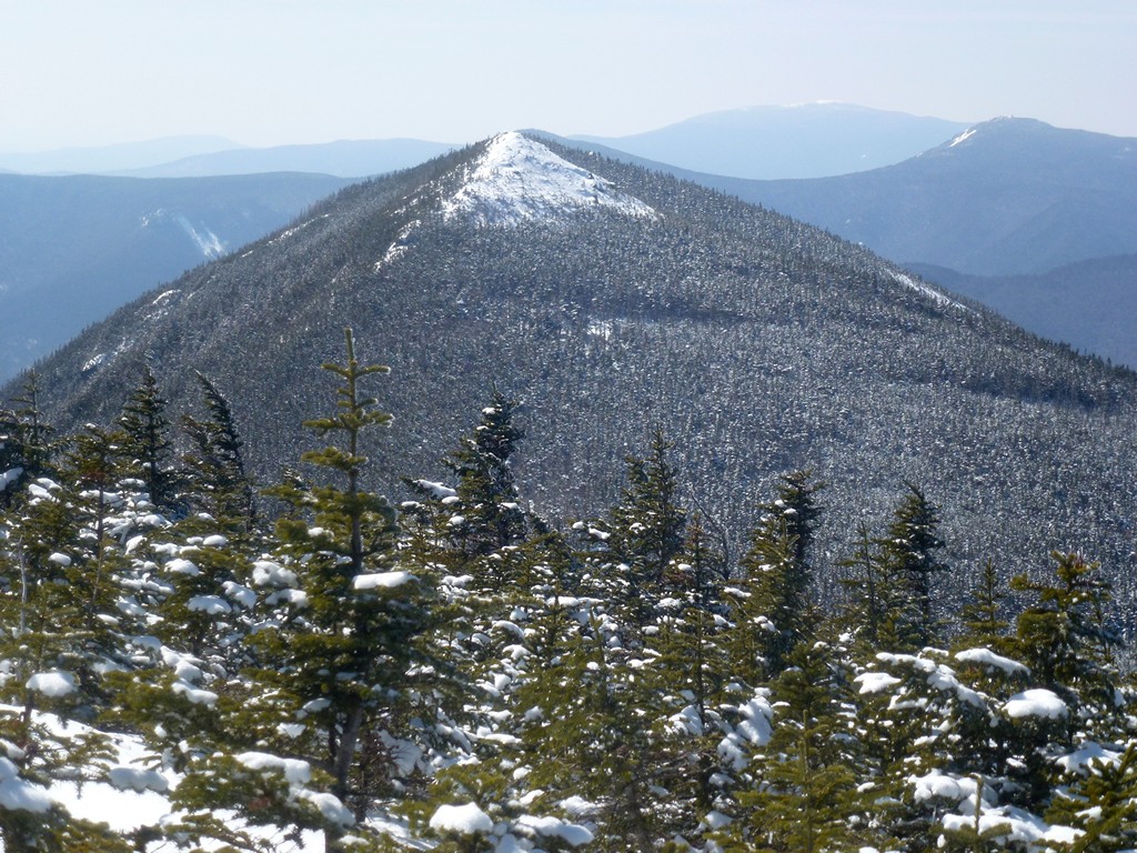
The scenery changed quite a bit once the trail did break out above the treeline and I was treated to some of the most magnificent views imaginable. I loved hiking the Bonds when I did them in the summer and they were just as nice and mayvbe even nicer in the winter. It was right around 11am when I broke out above the treeline and only about 10 or 15 minutes later I was on top of Bondcliff. The temperature was probably already in the mid 40s and quite comfortable for hiking. I had made excellant time still up to this point and covered 9.25 miles in just about 4.5 hours, with about one hour of that being reseting and photo taking time.
|
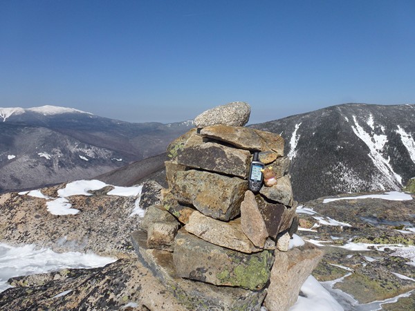
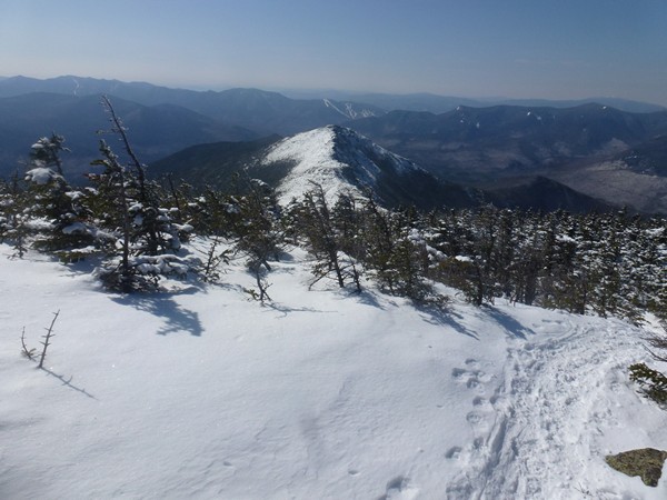
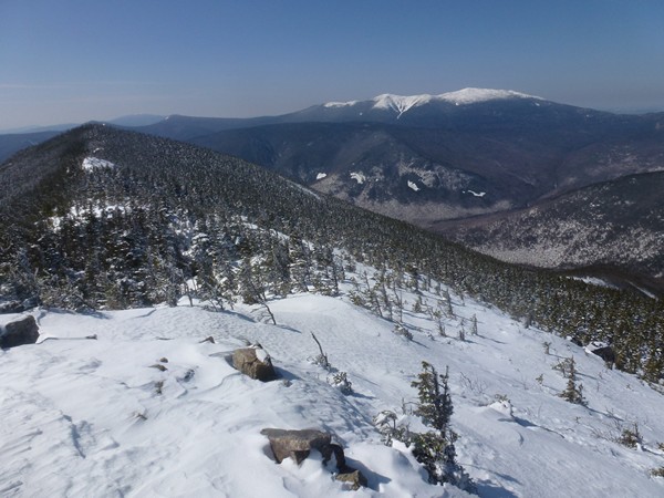
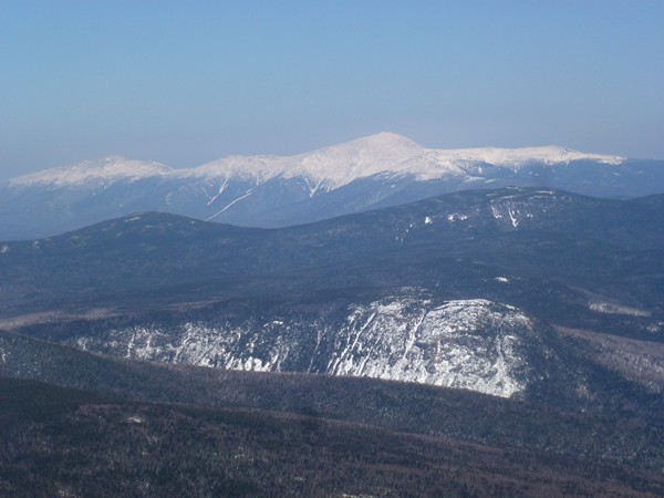
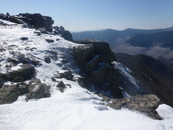
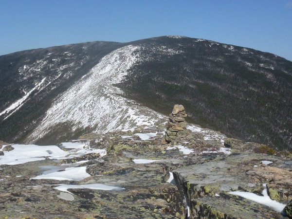
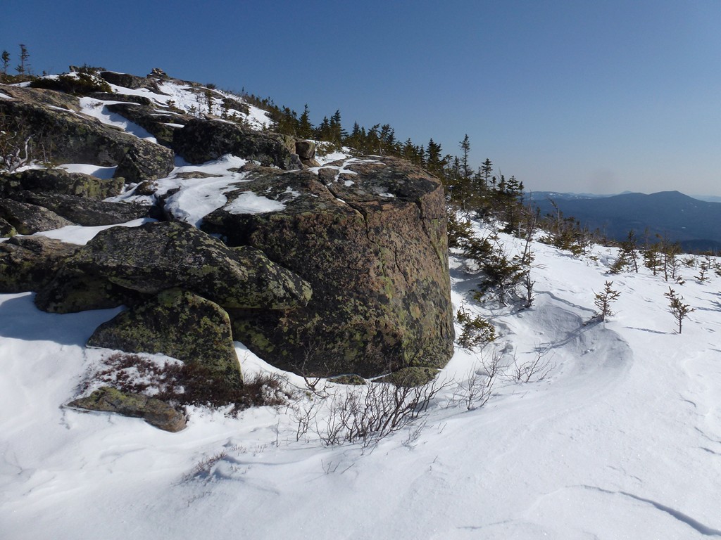
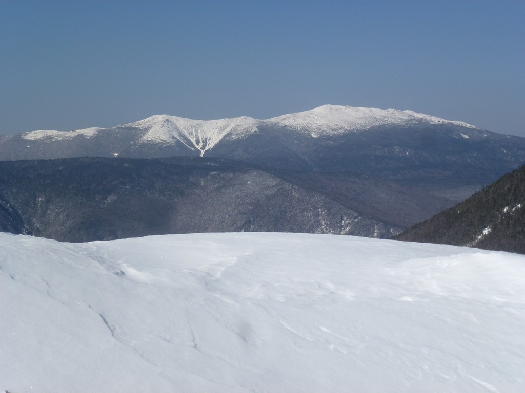
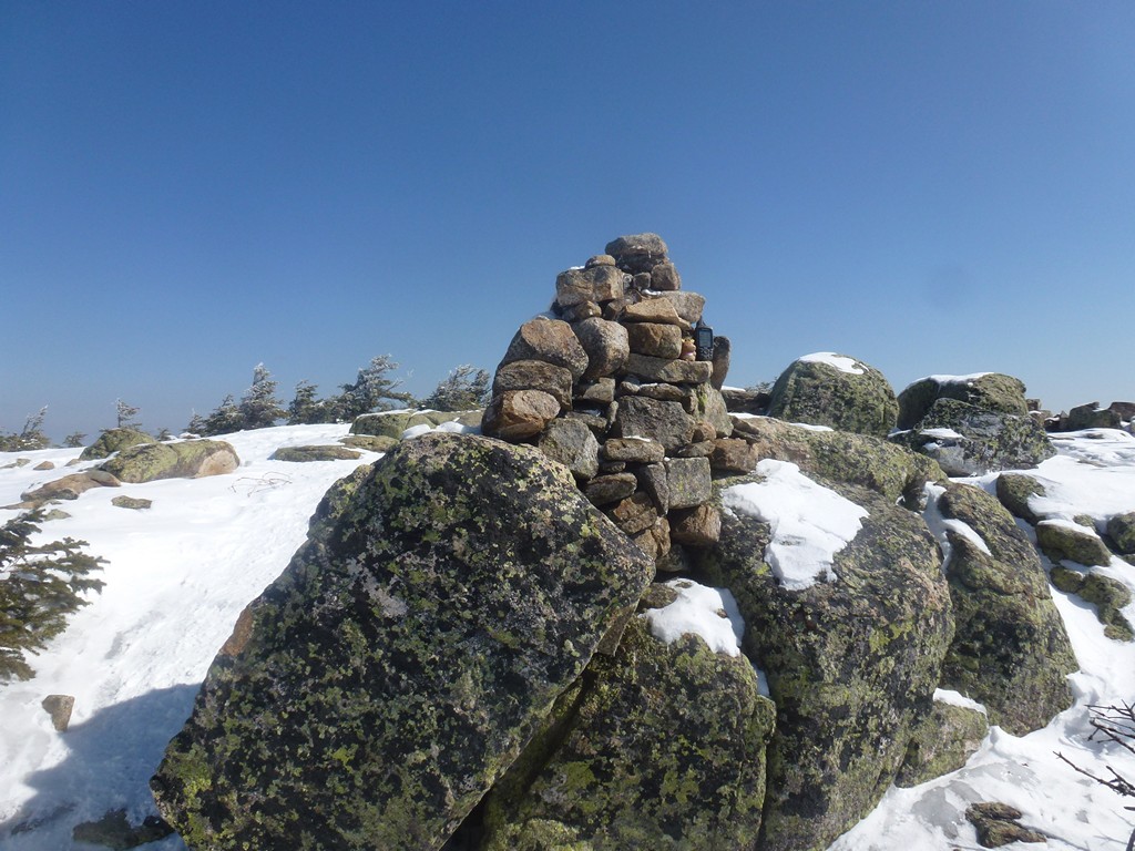
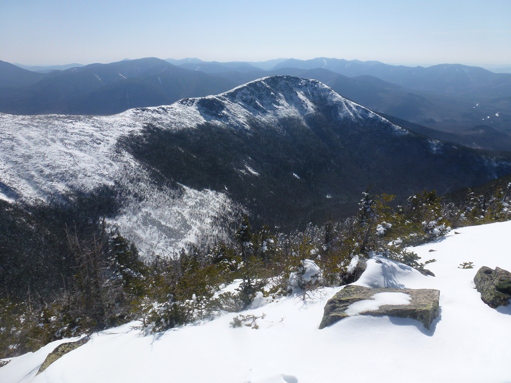
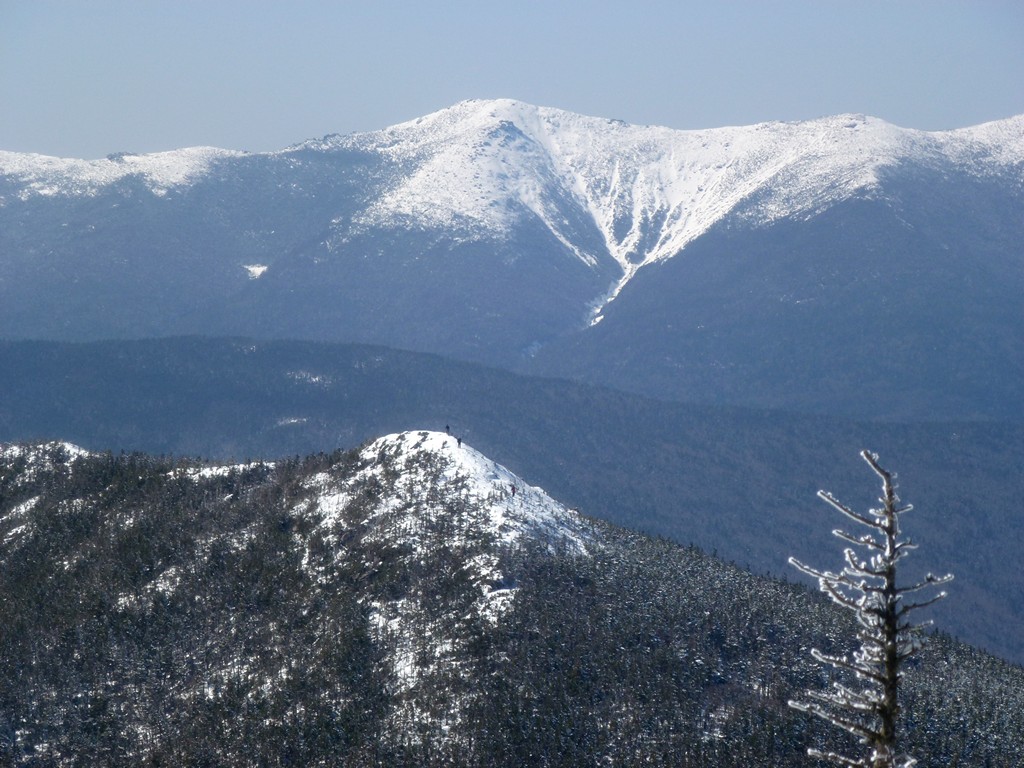
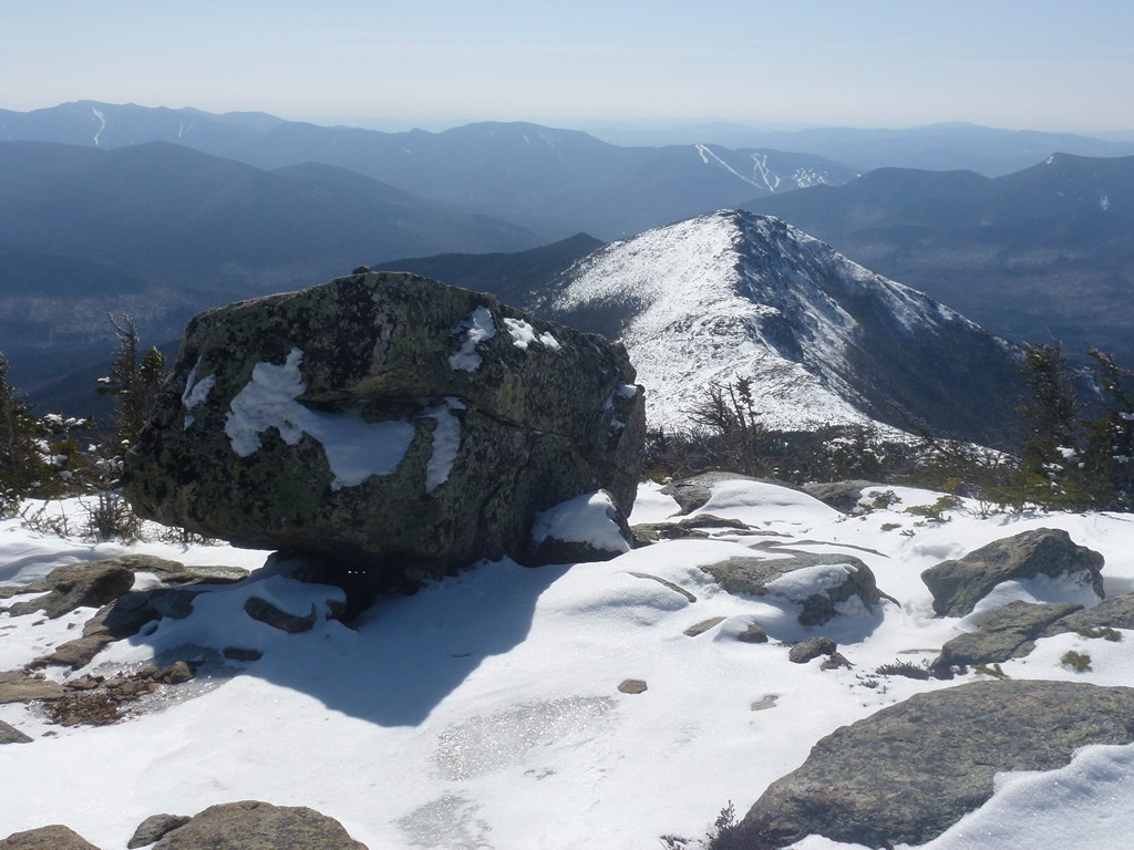
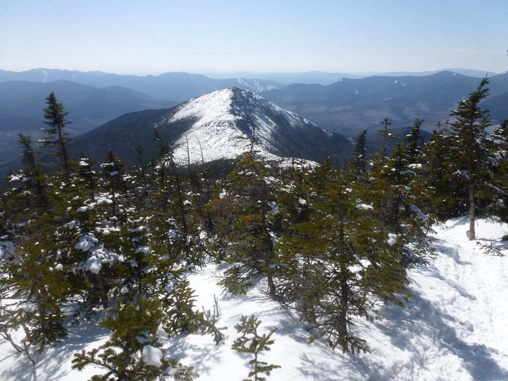
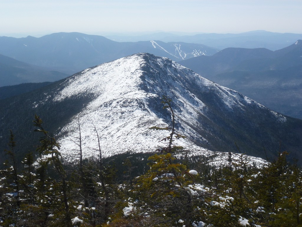
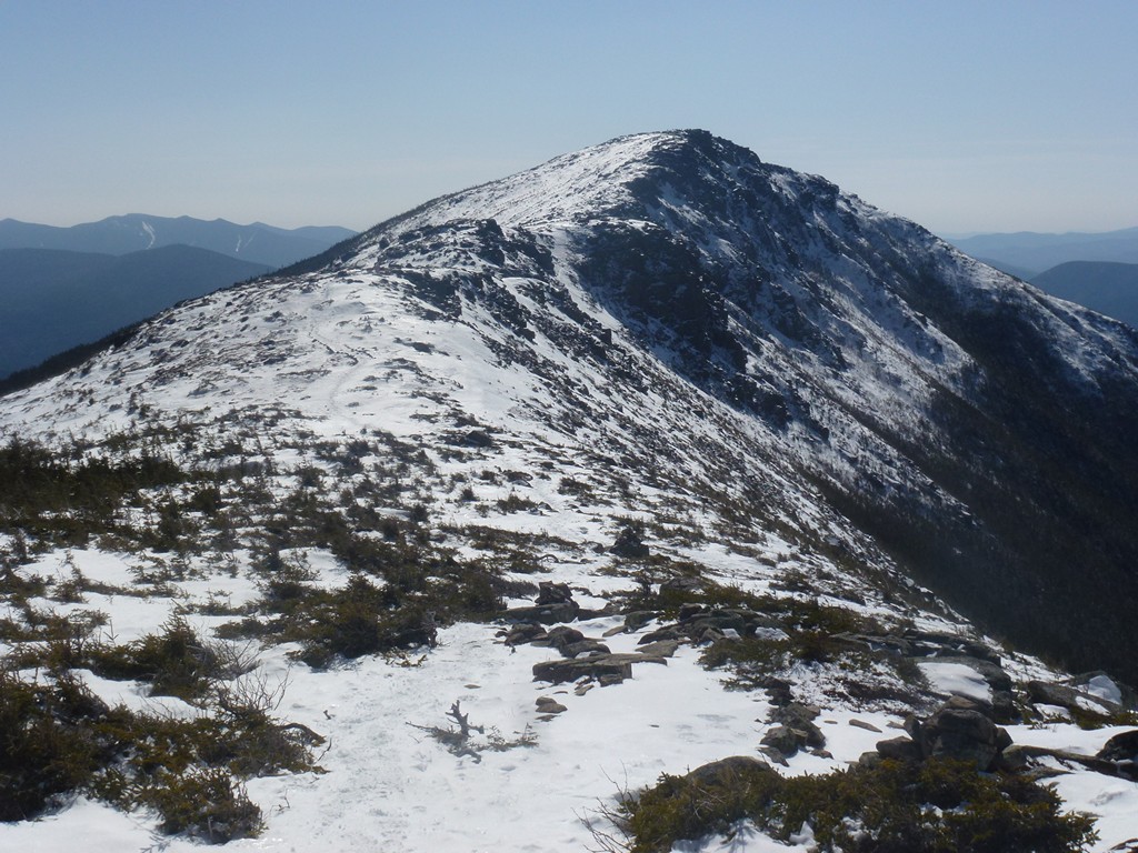
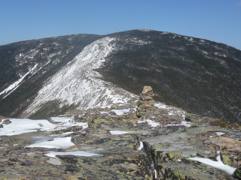
The 1.2 miles from Bondcliff to the summit of Mount Bond took about 30 minutes and views from along the ridge were awesome. The views from the summit could not be beat either with nothing in the way for 360°.
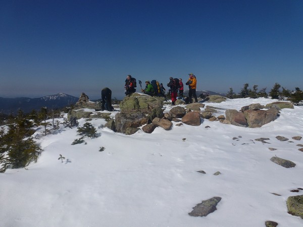
There was no one else on top of Bondcliff when I was there and no one on top on Mount Bond either. I had the place to myself. I didn't stay long though, just about 5 minutes or so, and then was off to West Bond.
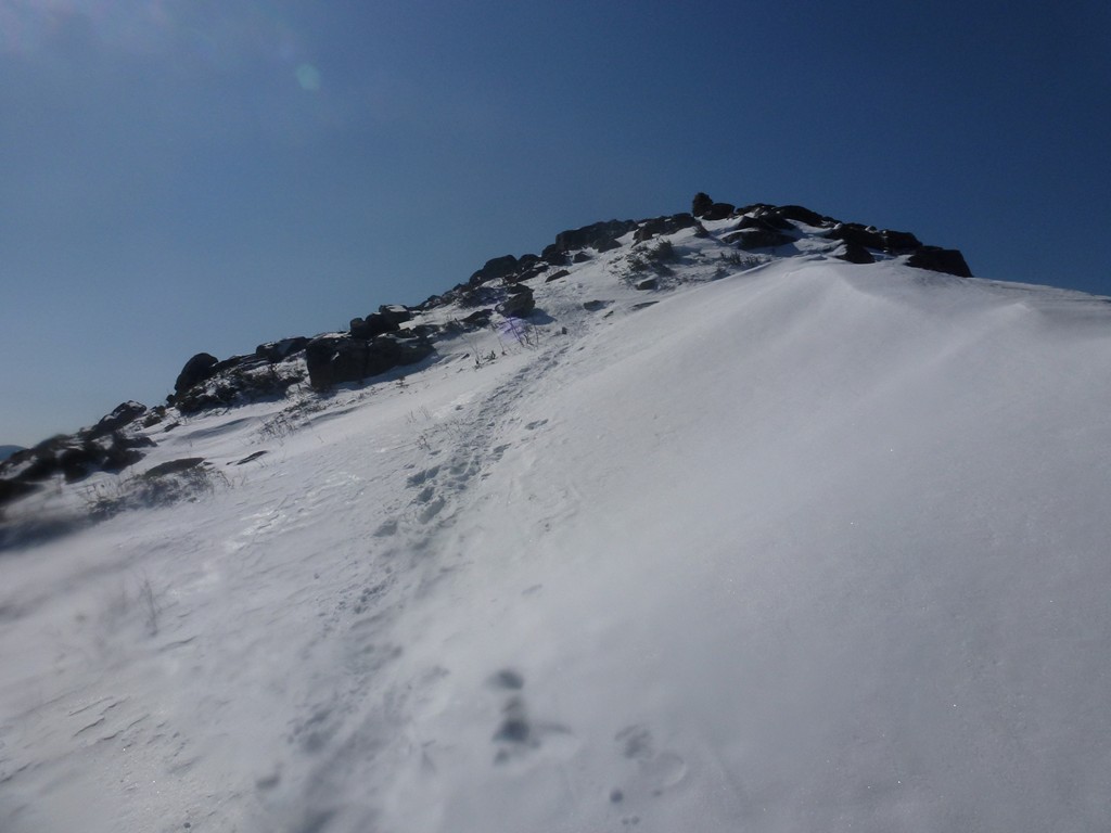
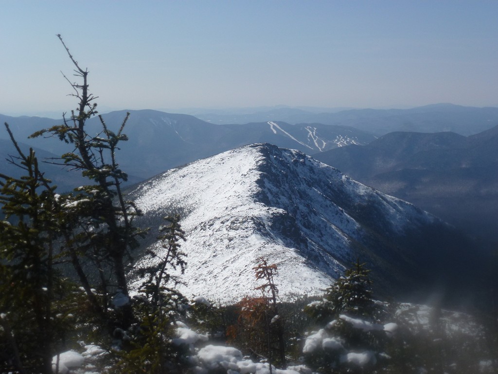
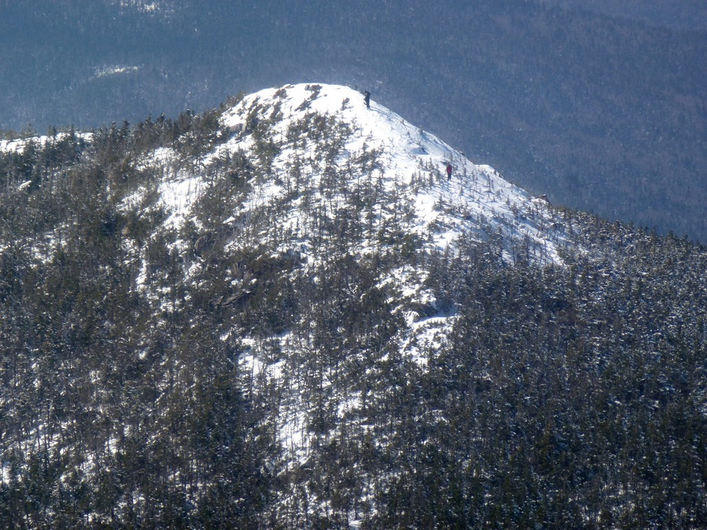
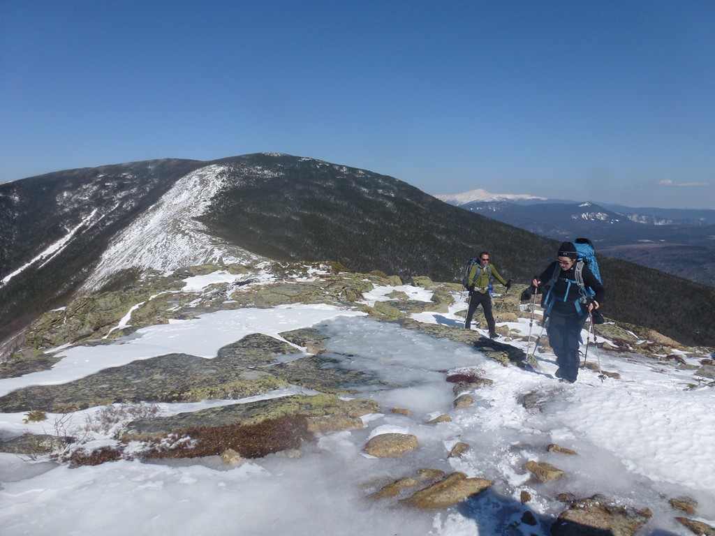
I did meet some other hikers who were resting right at the junction of the Bondcliff Trail and the trail over to West Bond. The trail going over to West Bond was not as well packed and the snow to either side was waist deep. I know this for sure because I tried to step to the side to let someone pass me on the trail and ended up in snow up to my waist. Luckily the person who was passing me stopped to help pull me out or it could have taken a while. Snowshoes would definitely made travel along part of this trail a lot easier.
|
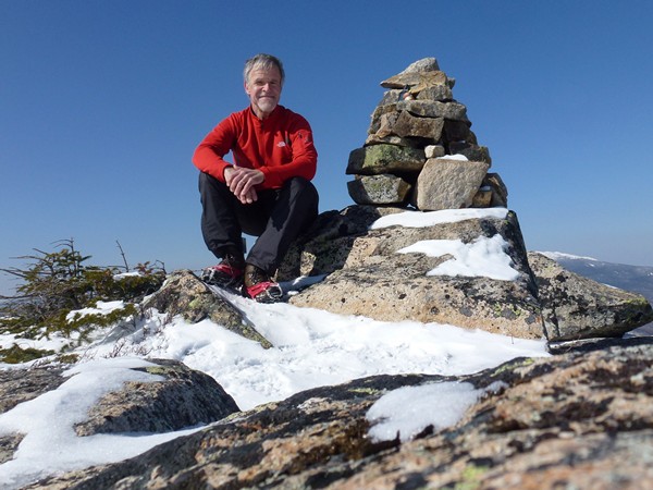
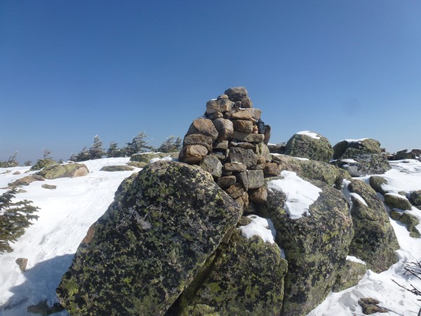
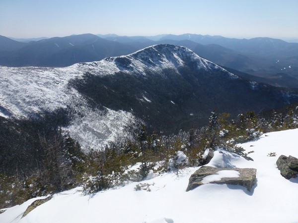
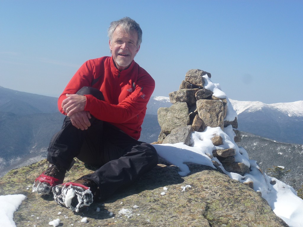
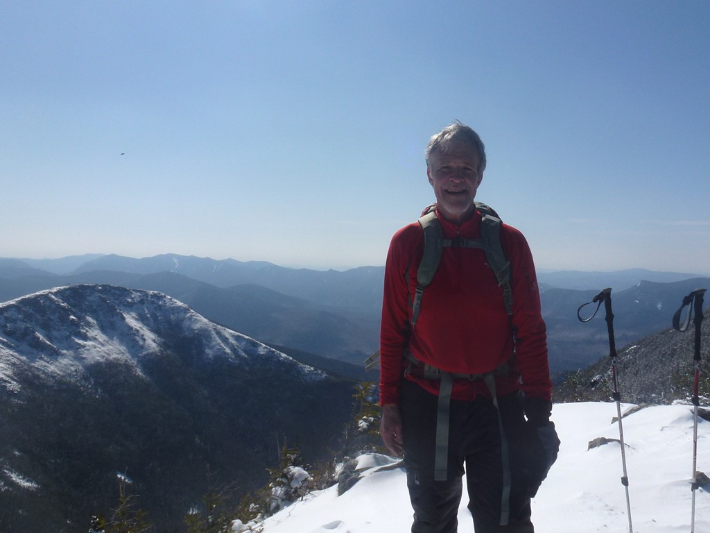
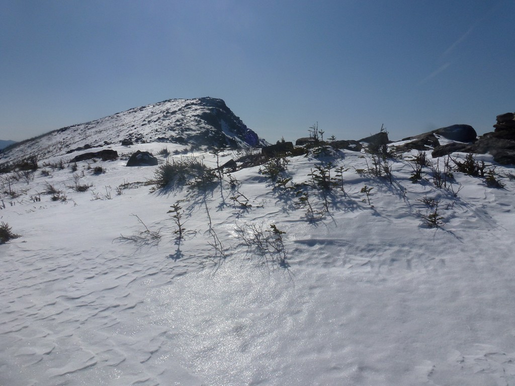
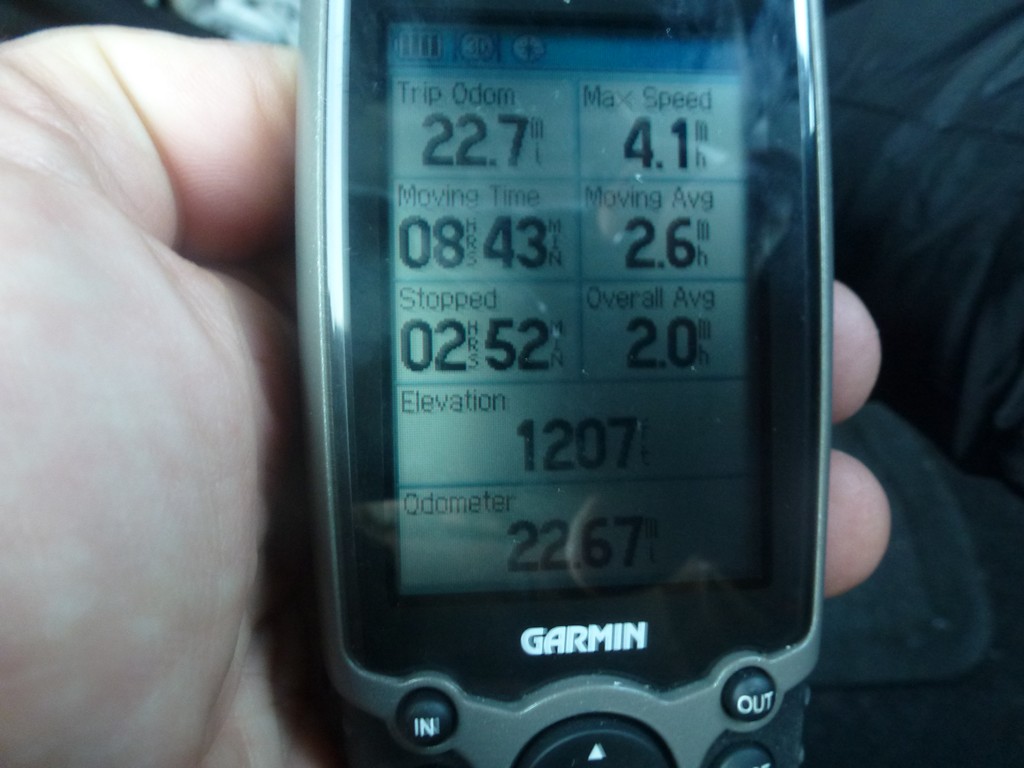
The final climb up to the summit of West Bond was very steep and very snowy. I met quite a few people on top of West Bond and it was nice to have someone take my photo for me since the summit is absolutely bare and there would have been no place to put the camera. I didn't stay long up there either as this was just the halfway point for the hike and I still had about 11.5 miles to go to get back to the parking lot. I was still making pretty good time though with a moving average (according to the GPS) of 2.5 mph and an overall average of just under 2 mph. I had taken me about 6 hours to come this far and if it took 6 hours to get back I would still finish right around sunset, and well before dark.
|
It took about 45 minutes to get back to Mount Bond and I actually took a longer break there this time and ate one of my peanut butter and blueberry preserves sandwiches. I had been nibbling on some trail mix during the day but this was the first real food since breakfast and it tasted so good. There is nothing like PB&J for hiking food.
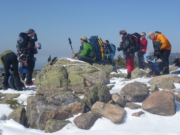
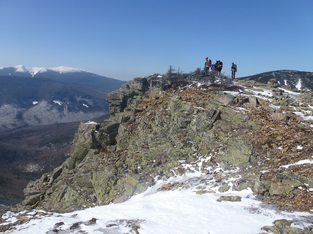
There was only one guy on top of Mount Bond when I arrived there but after a few minutes a bunch of others showed up. Some of these were people who were just getting to the top of West Bond as I was leaving but there were a lot more than that here now and they all seeemed to know each other. I knew they were heading south as well and took off while they were still chatting to get a head start on them.
|
I left Mount Bond a little after 1:30 and was back on Bondcliff a little after 2:00. It was much faster going down Mount Bond. I stopped briefly on top of Bondcliff for some more photos but the group from Mount Bond was right behind me and I was hoping to stay ahead of them so I did not linger long.
|
I met a large group of people in snowshoes just back under the treeline below Bondcliff and I have no direction which way they were going. They were stopped for some reason, waiting for something and on the narrow trail with deep snow on both sides it was a little hard to get past them. I did want to get past them though in case they were headed in the same direction I was.
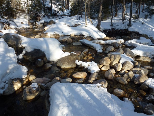
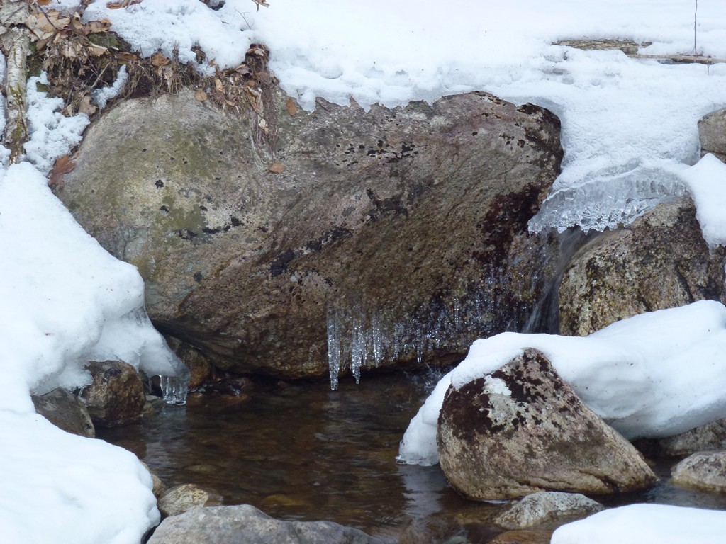
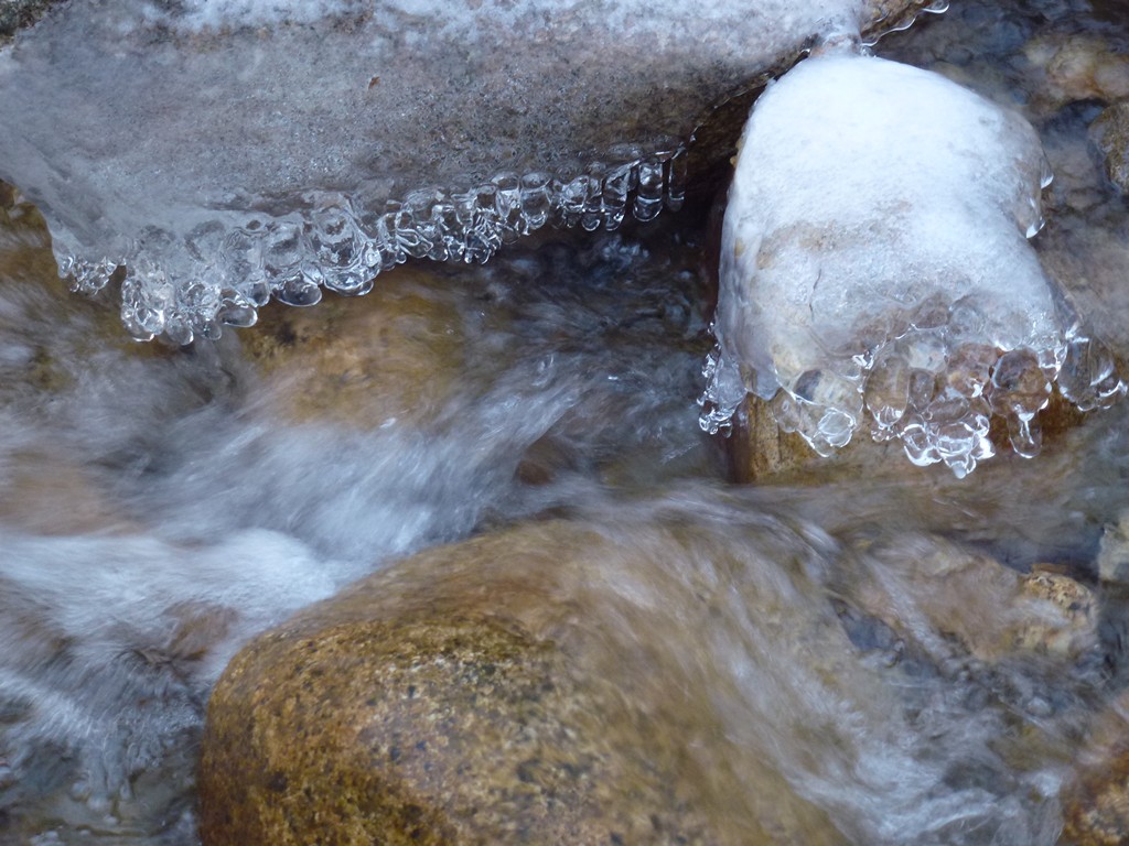
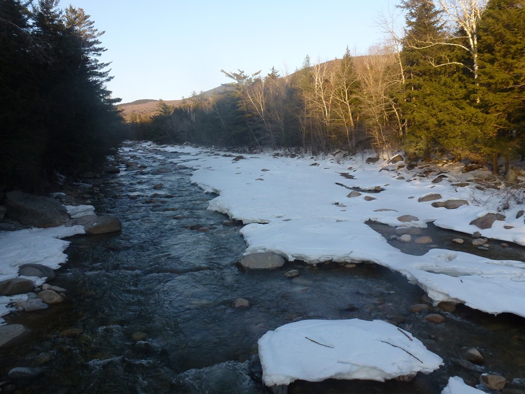
I left Bondcliff a little after 2:15 and arrived back at the Wilderness Trail just a little before 4:00. I made a couple of short stops along the way for photos of Black Brook. I had some noisy people from the group behind me right on my heels at one point and hoped they would pass me at one of these stops but they decided to stop too. They seemed in no hurry to get moving again so I took off and got a little bit of a lead before they caught up again. I stopped again when I got to the Wilderness Trail and they did pass me there... and started jogging down the Wilderness Trail in the direction of Lincoln Woods.
|
It took about 45 minutes to go down the Wilderness Trail to the Lincoln Woods Trail, exactly the same amount of time it had taken go to the othe rway earlier in the day. So I was still making pretty good time in spite of the fact that I already had about 20 miles in for the day. My feet were starting to get tired though, and a little sore. I was also starting to get hungry again so once I started back down the Lincoln Woods Trail again I began looking for someplace I could sit and eat my other sandwhich. There were not a lot of options and it wasn't until about 30 minutes later that I found a good spot with some bare rocks nnext to the Pemmigewasset River. It was the same place that I had stopped for photos of the river and the Bonds on the way in.
It felt good to stop and sit and rest there for a while. And that other sandwhich restored some much needed energy. After I finished eating and taking a few more photos it was only about 45 minutes from there back to the parking lot. It was starting to get dark already on the Lincoln Woods Trail, and the cold was setting back in. The siun had not set yet but it had aleady gone behind Franconia Ridge on the west side of the trail.
It felt very good to get back to the car and get the boots off. I was happy that the feet and legs actually felt fine once I got my sneakers back on. This was the longest hike I had ever done in the White Mountains and the second longest dayhike ever. The longest dayhike ever was only about one mile longer: a 24-mile dayhike on the Hermit, Tonto and Bright Angel Trails in the Grand Canyon.
|
|
|
|---|
|
|---|


