|
Mount Tecumseh day hike |
|---|
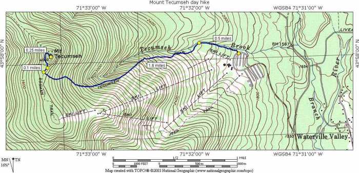
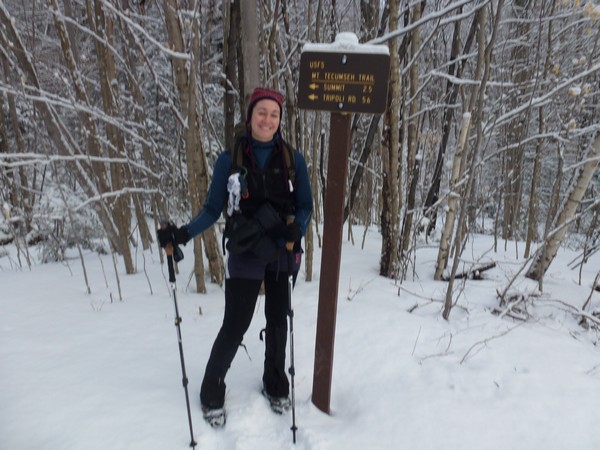
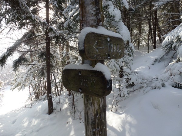
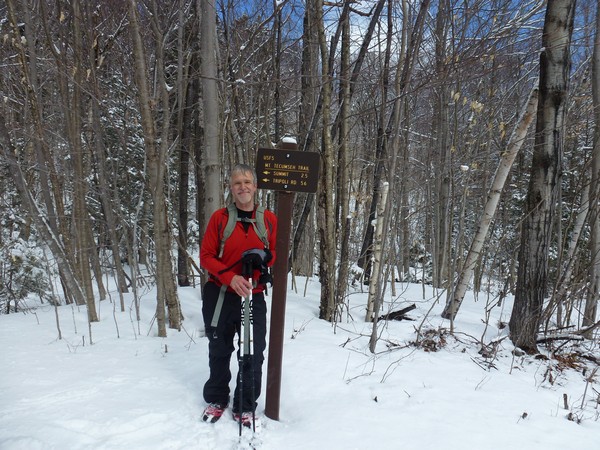
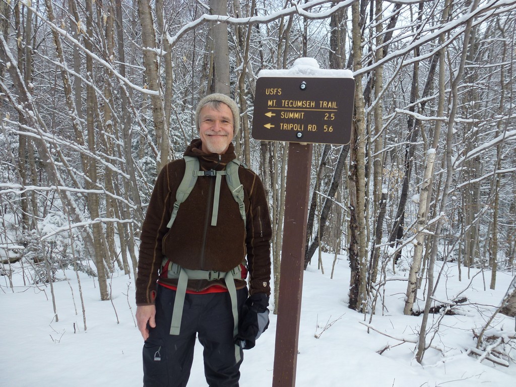
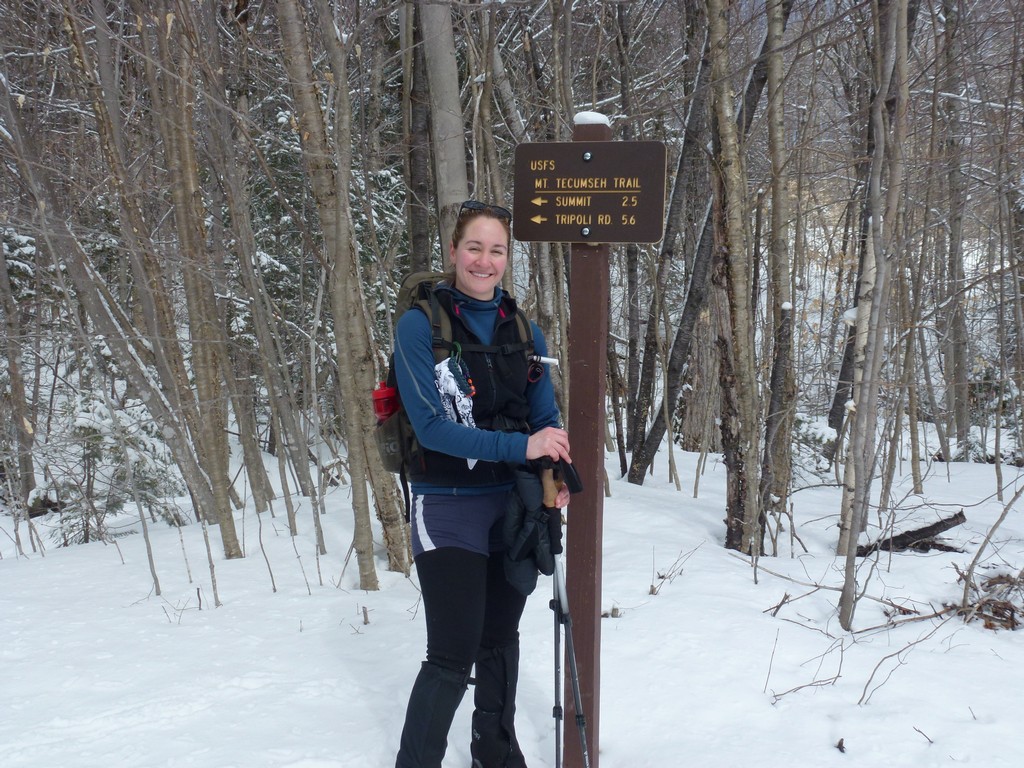
This day hike started at the northern end of the parking area for the Waterville Valley ski area. From the parking area we took the Mount Tecumseh Trail, to the Sosman Trail, to the summit of Mount Tecumseh, returning the same way.
|
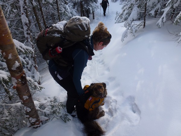
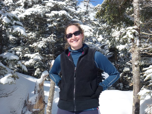
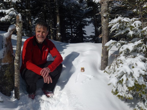
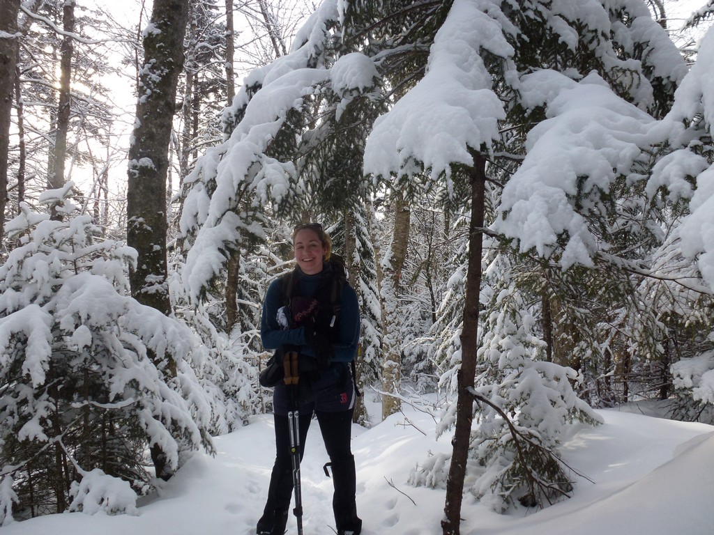
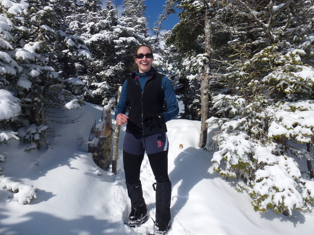
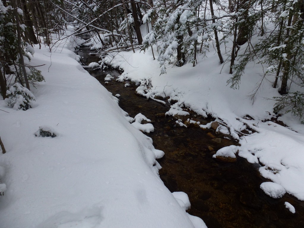
The starting point for this hike was the parking area at the northern end of the parking area for the Waterville valley ski area. This would be winter 4000-footer #17 for me and general 4000-footer #8 for Pam. We had hoped to start at 7:00 but had a little trouble actually getting to Wateville Valley and at first got off of I-93 a little to soon. We corrected that pretty fast and got back on the highway but as a result did not actually start hiking until around 7:15. We also were in a bit of a snow storm for a while there which was not in the forecast and was completely unexpected.
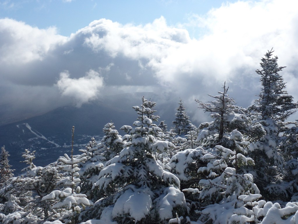
The snow did not last long and when we finally arrived at the trailhead it was just cloudy. It looked like the top of Mount Tecumseh was also in the clouds which did not bode well but that changed after not too long as well.
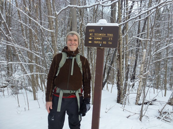
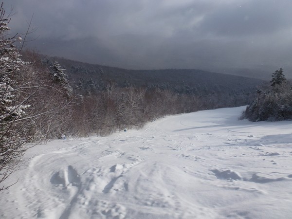
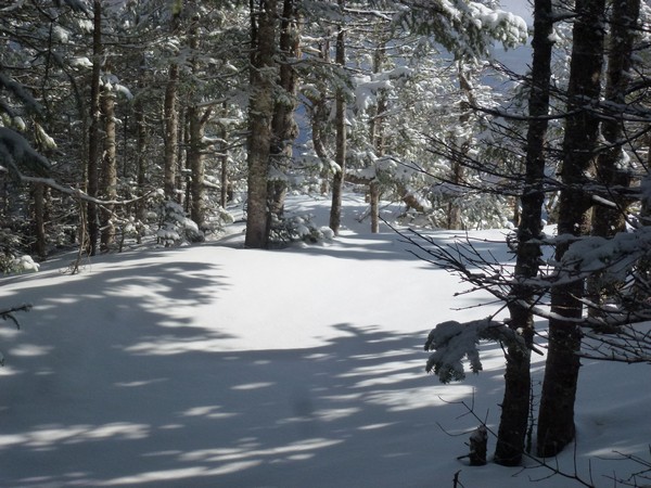
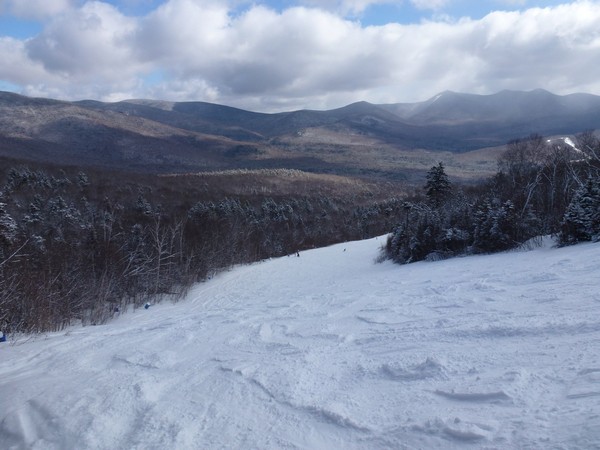
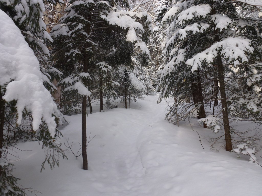
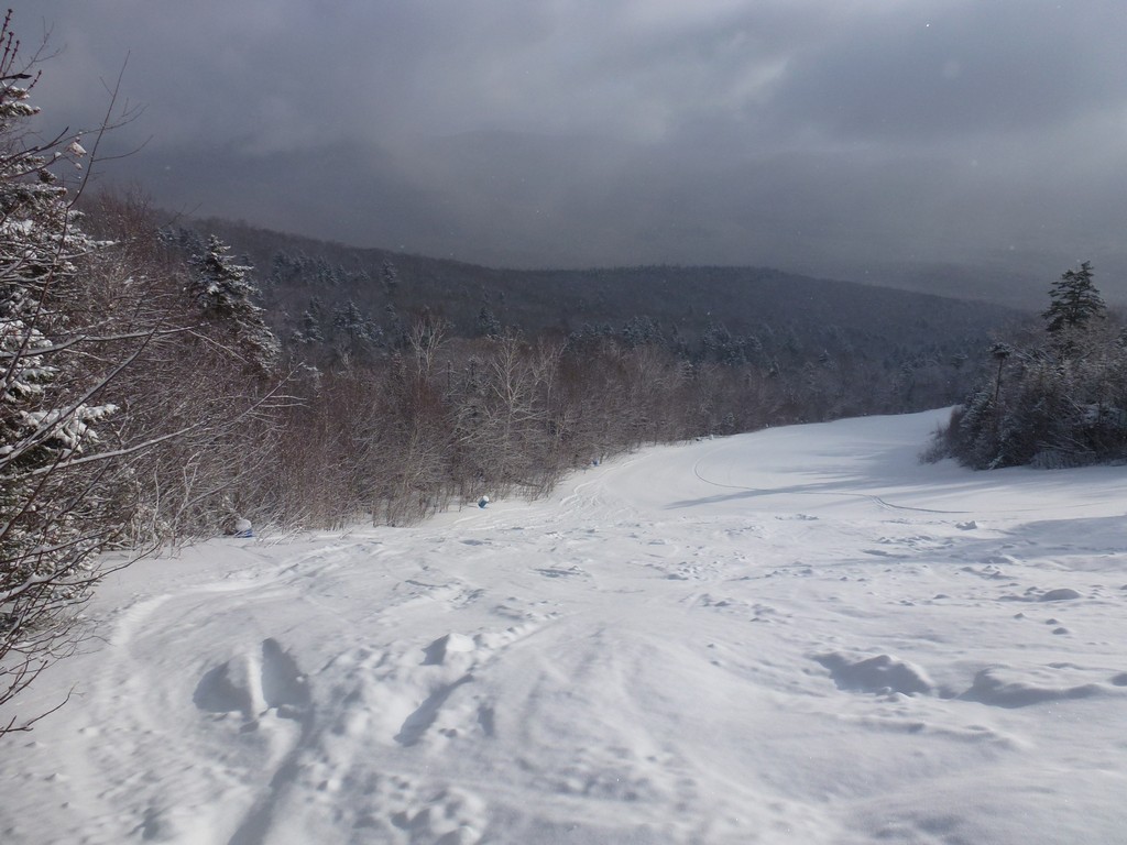
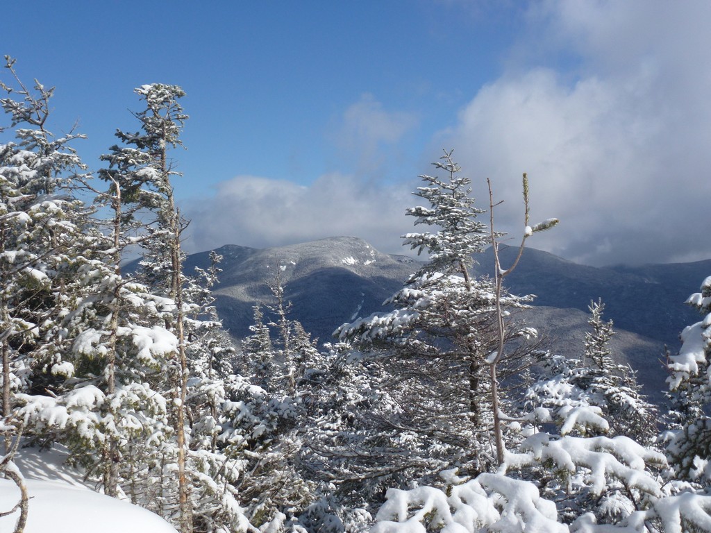
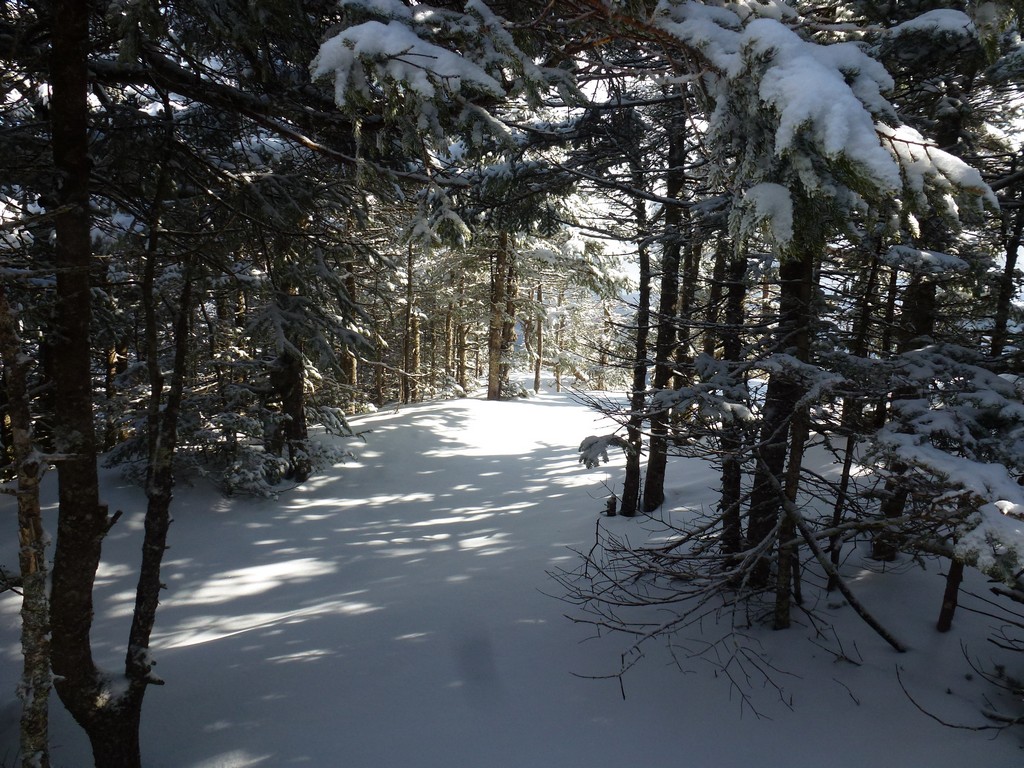
The sky continued to brighten as we hiked and by the time we reached the ski slope overlook the clouds were starting to break up and the sun was coming out. The trail had been pretty easy up to that point but got a little steeper above the overlook.
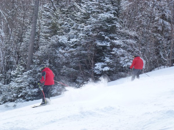
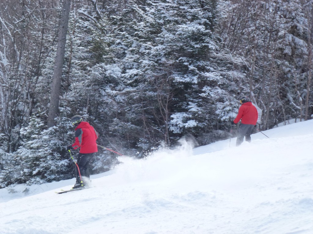
One thing we did not expect was that skiers and snowboarders would be coming down the trail but it seems the lower portion of the Mount Tecumseh Trail is also a ski trail.
|
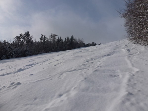
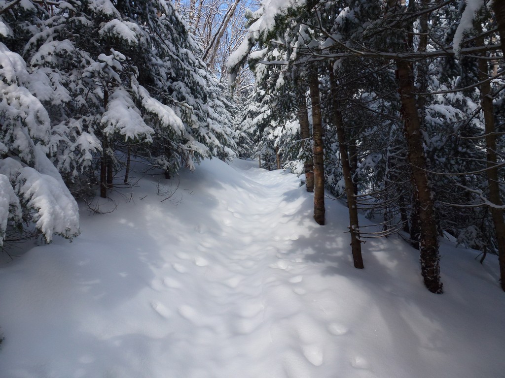
We still had some snowboarders to get out of the way for a little while above the overlook but we soon were above the point that they were entering from. It took about another hour of hiking on a somewhat steeper slope to reach the junction with the Sosman Trail. There was more snow higher up and since there had not been many people up this way yet it was mostly lose powder.
|
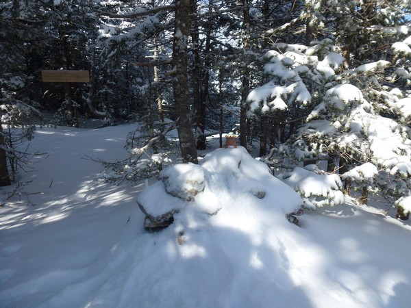
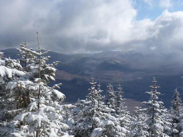
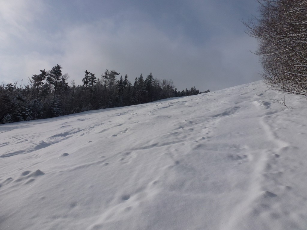
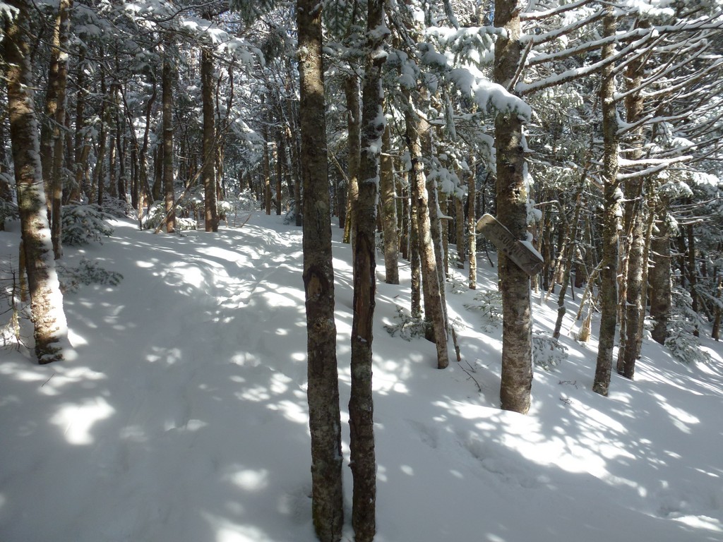
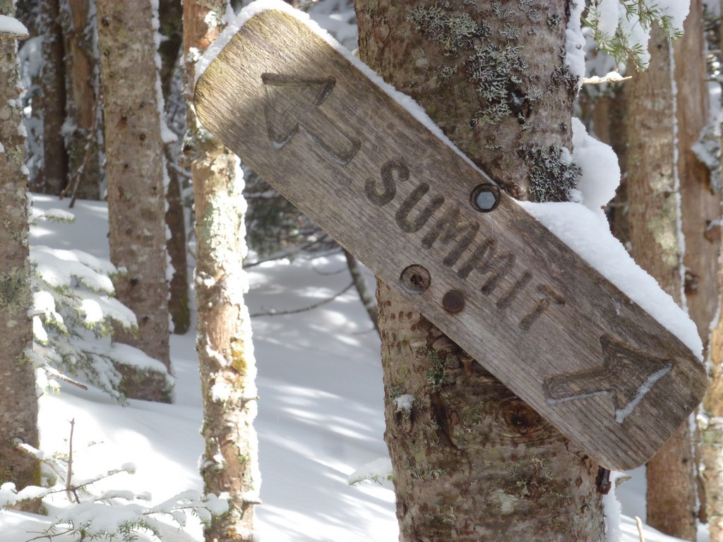
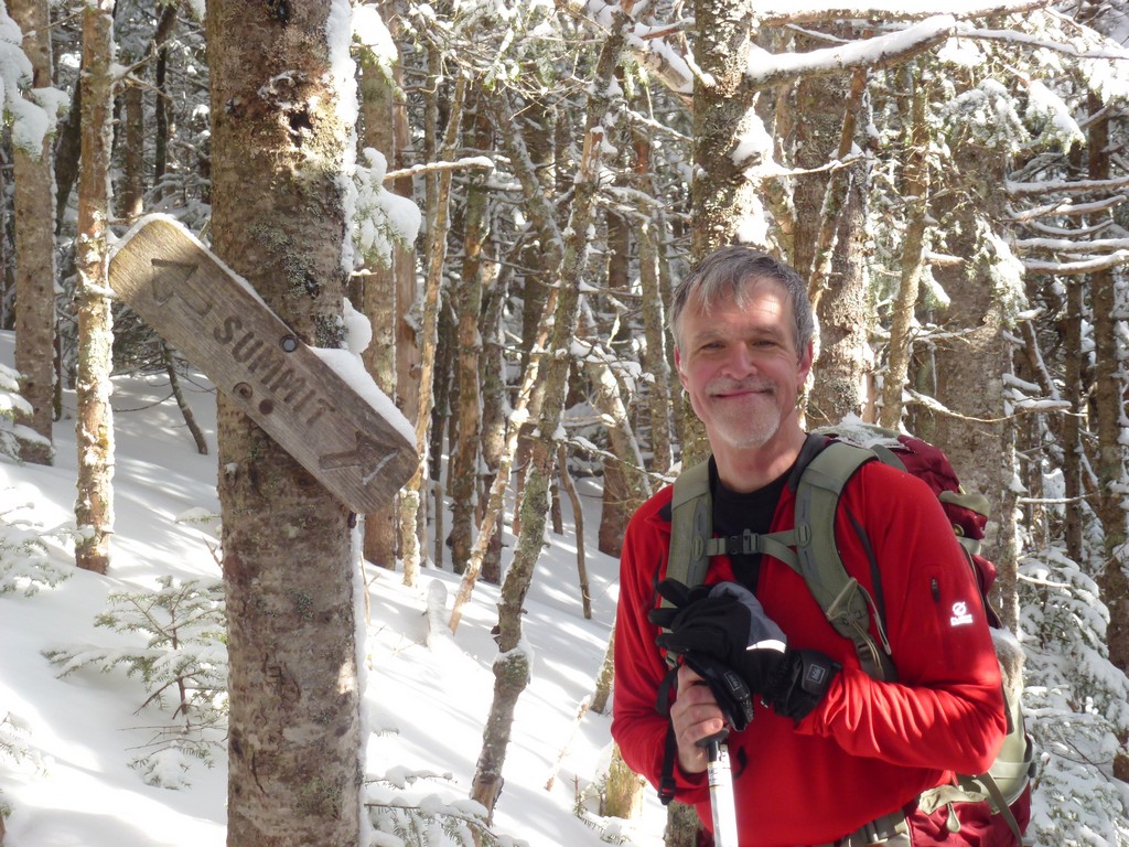
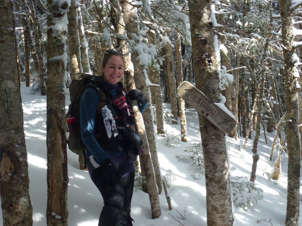
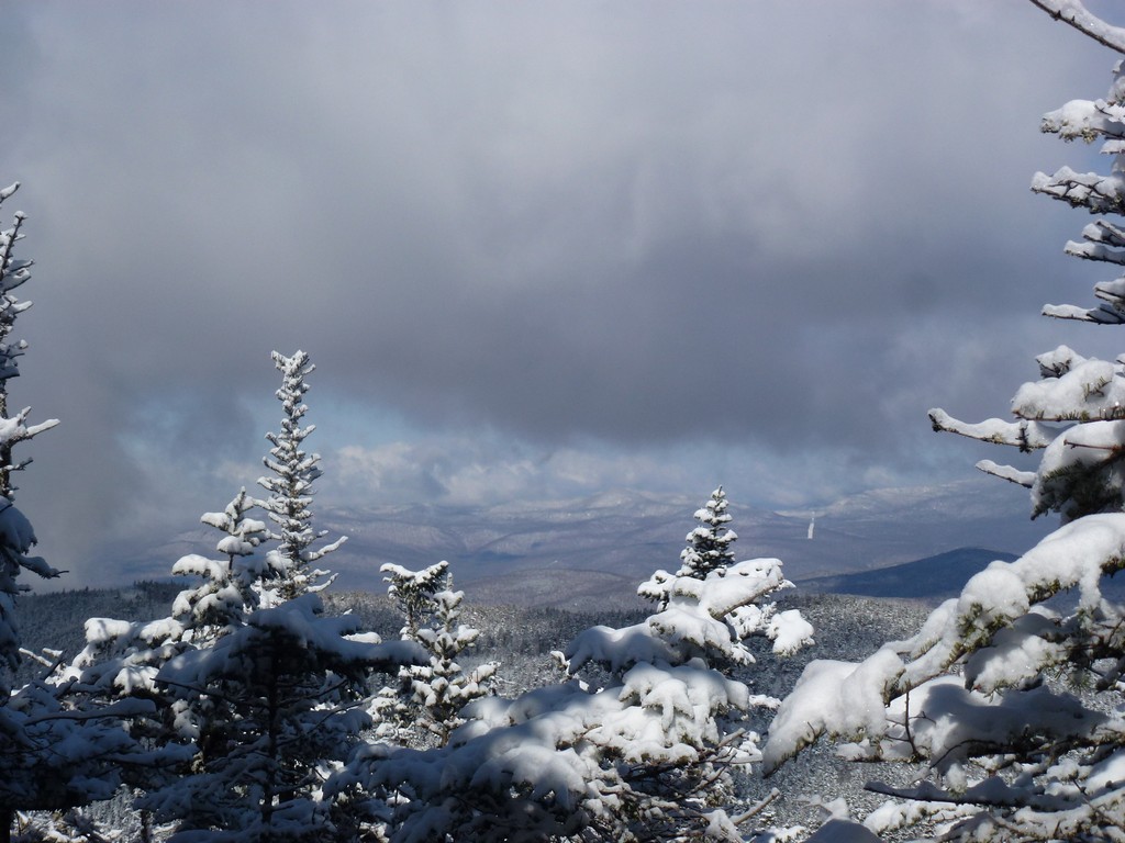
After we reached the junction with the Sosman Trail it was only about 15 minutes or so to the summit of Mount Tecumseh. There was a pretty nice view from an overlook on the north side of summit.
|
One thing I really love about winter hiking is how quickly you can go back down some of these trails, especially when they are covered in this lose powder. I stopped a couple of times for photos on the way down and then we made a longer stop close to the bottom at the ski slope overlook again.
|
We went back down the trail in just about an hour, arriving back at the trailhead just after 10:30. It was a short hike, and a quick hike, but it was also a very nice hike. It was nice to finally go hiking with Pam again after a hiatus of almost two months.
|
|
|
|---|
|
|---|


