|
Mount Garfield day hike |
|---|
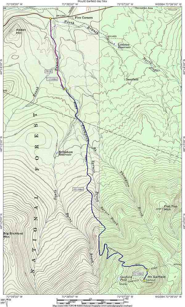
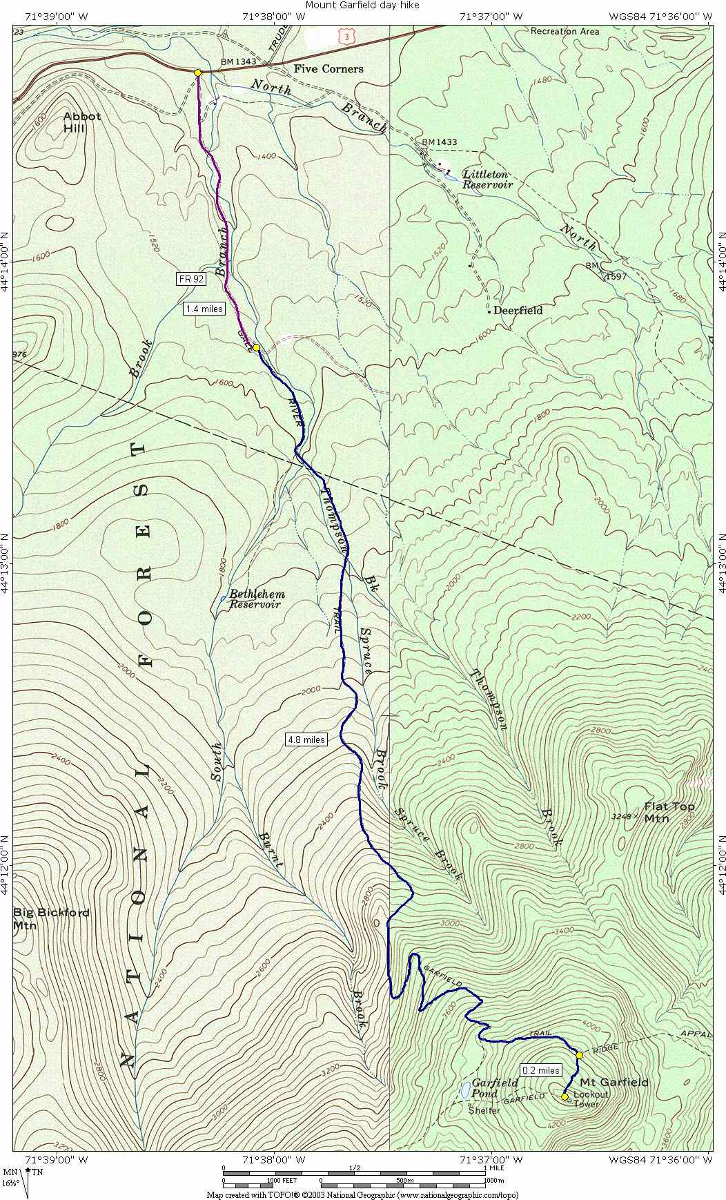
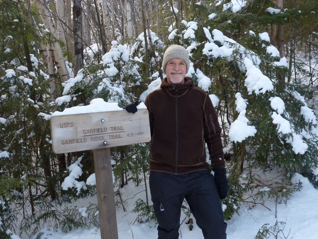
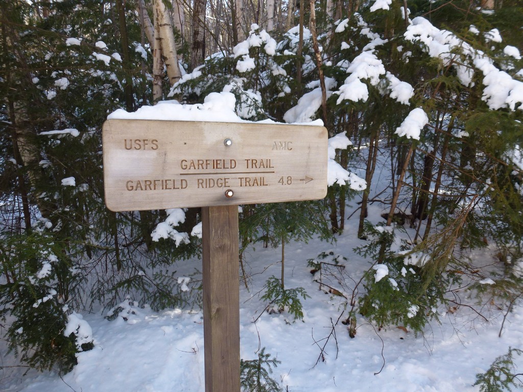
This day hike started at the parking area at the end of Forest Road FR92 right off of US Route 3 in Bethlehem. The road to the Garfield Trail trailhead is closed in winter which adds an addtional 1.4 miles each way to the hike. From the parking area we followed the road to the trailhead and then took the Garfield Trail to the summit of Mount Garfield, returning the same way.
|
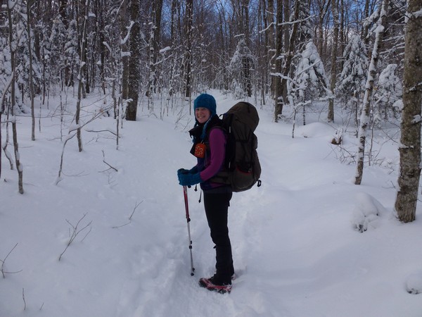
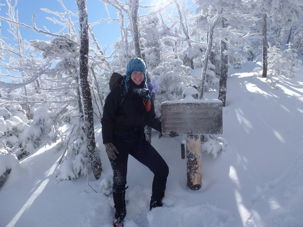
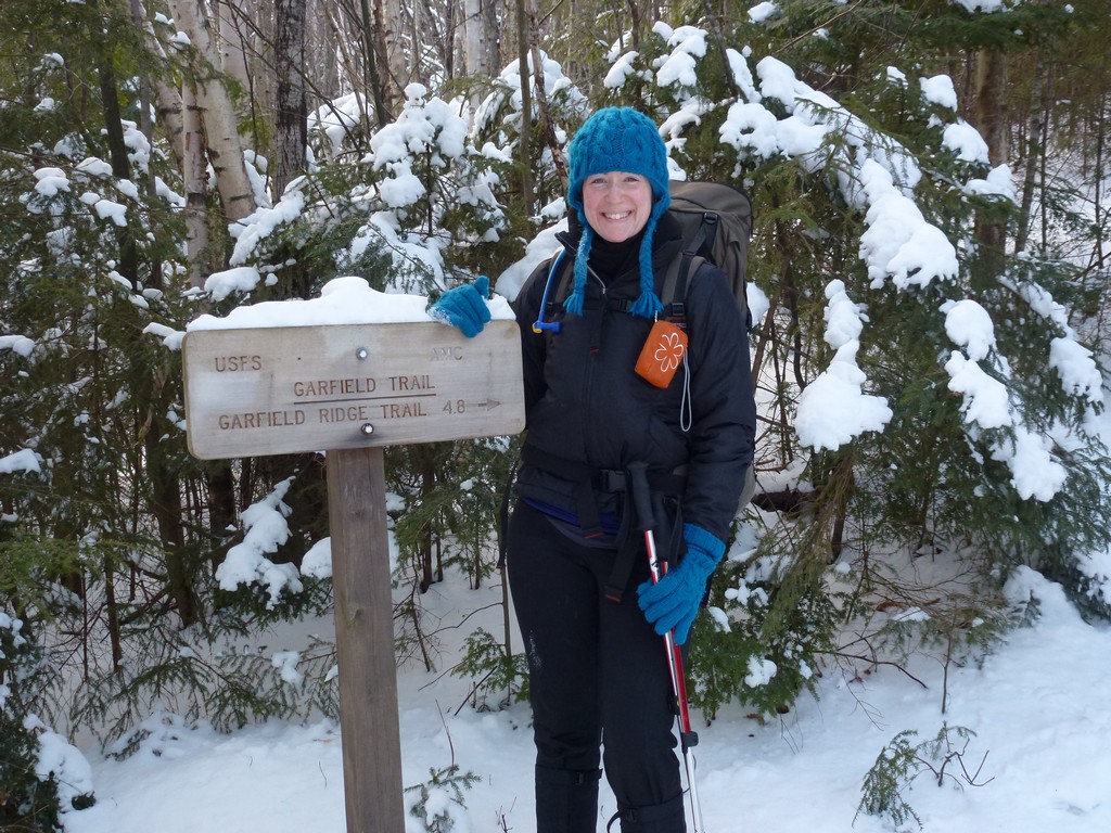
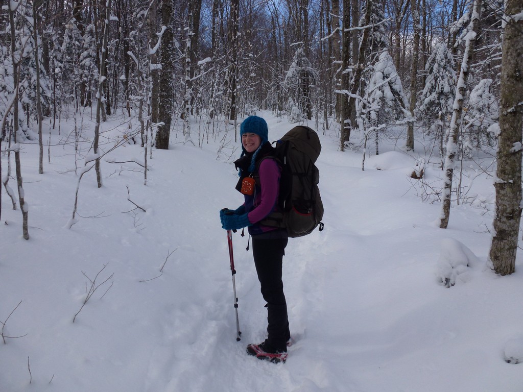
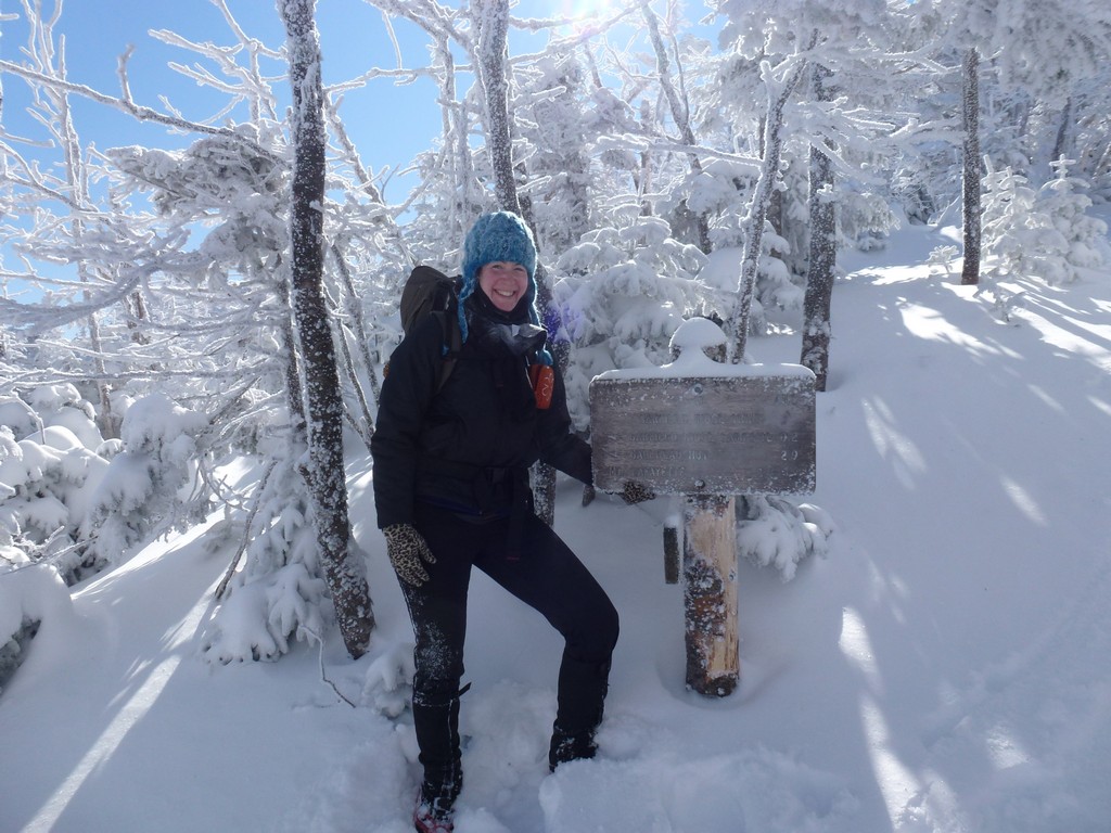
The starting point for this hike was the parking area at the end of Forest Road FR92 right off of US Route 3 in Bethlehem. This would be winter 4000-footer #15 for me and general 4000-footer #44 for Katie. She is getting very close. We had hoped to start at 7:00 but some delays in the meet up and then having second breakfast at the McDonalds in Lincoln slowed us down a bit. We still started at 7:30 from the parking area at FR 92 off of US Route 3 and made it to the start of the Garfield Trail by 8:00.
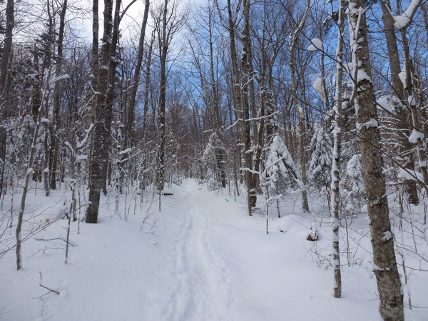
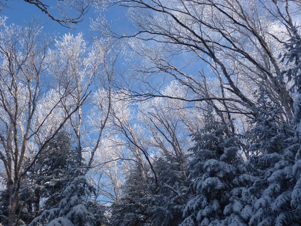
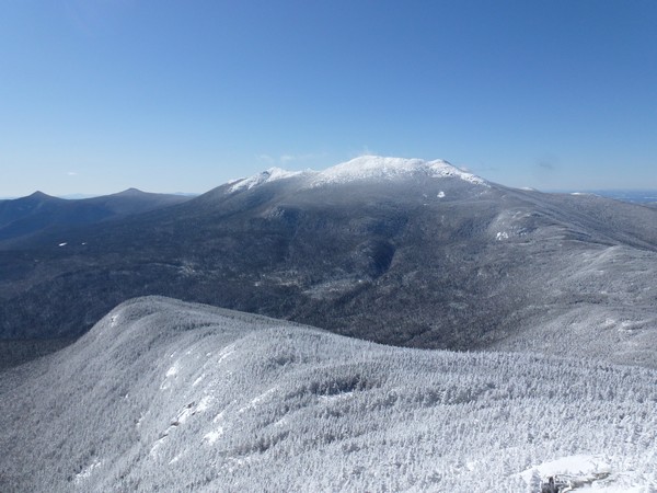
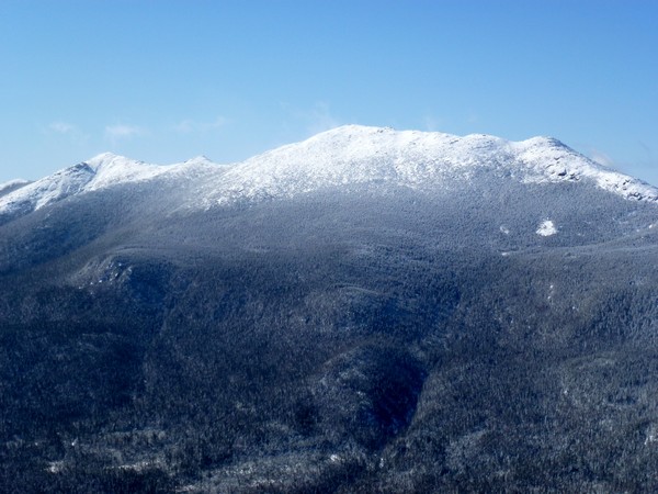
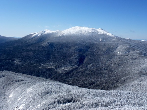
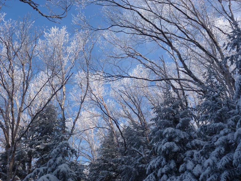
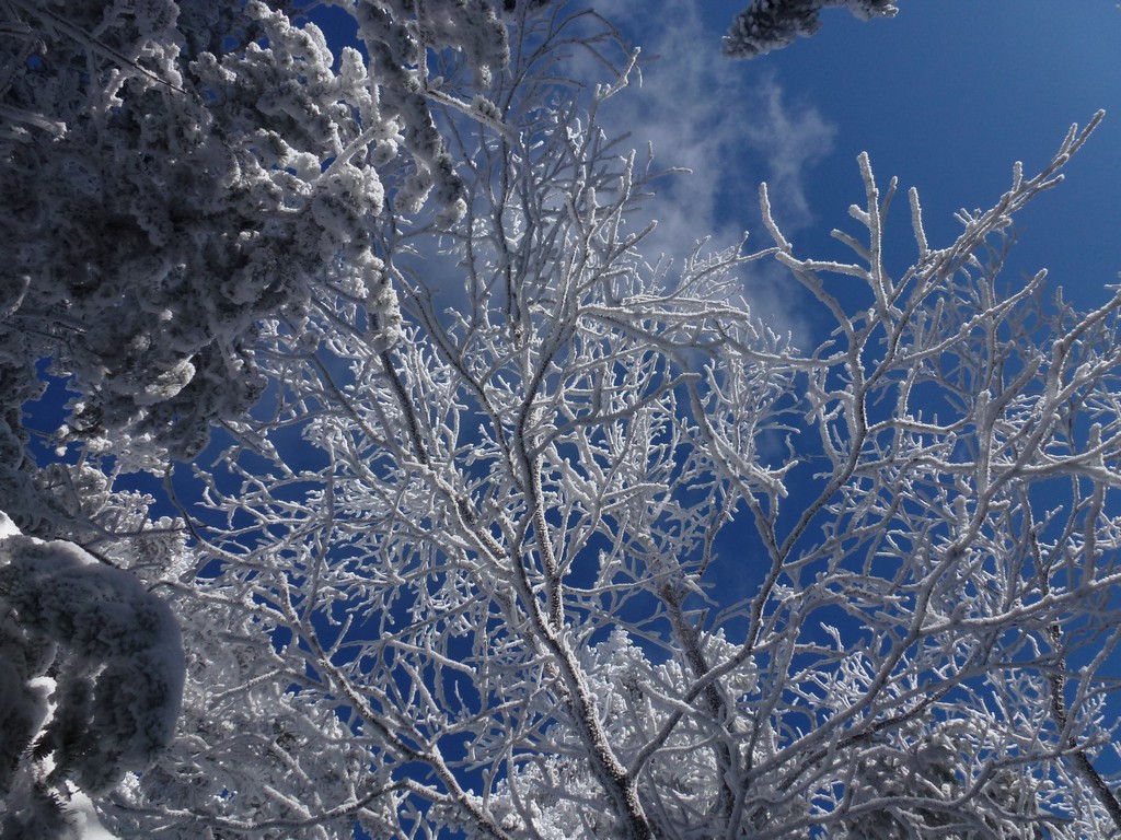
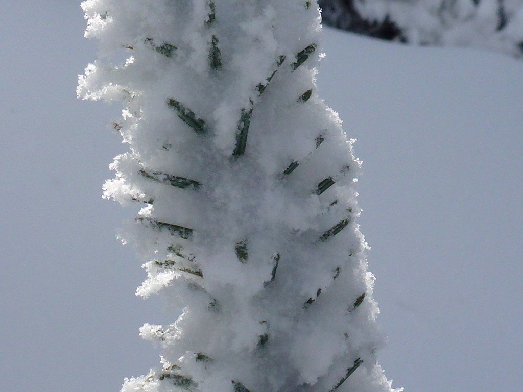
It was clear for most the ride up until we hit Franconia Notch which had quite a bit cloudiness. There were more clouds on the other side and it looked like the top of Mount Garfield was in them as well when we started. The temperature was in the low 20s at the start of the hike and I only had my base layer on and my microfleece. Once we started up the Garfield Trail it didn't take long to warm up and get rid of the microfleece. It was a beautiful morning for a hike and we made very good time on the lower portion of the trail.
|
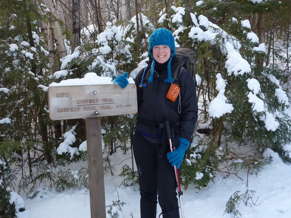
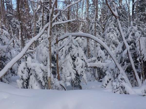
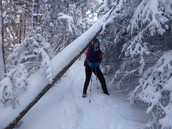
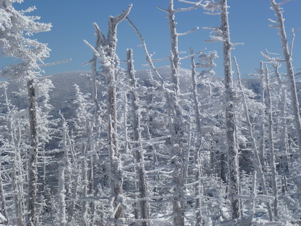
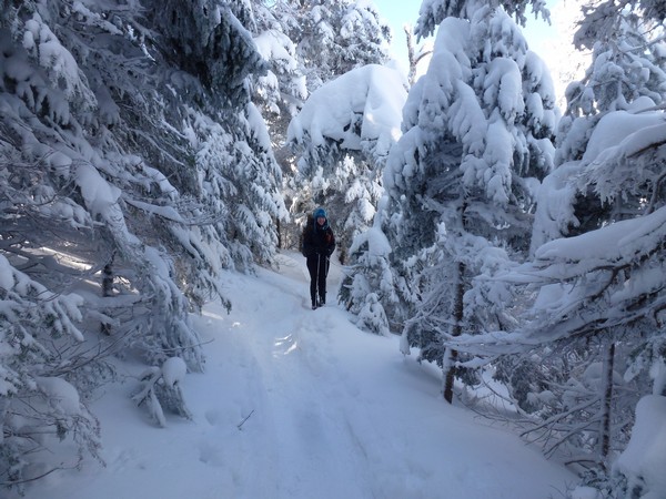
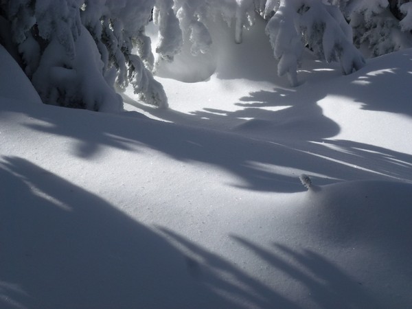
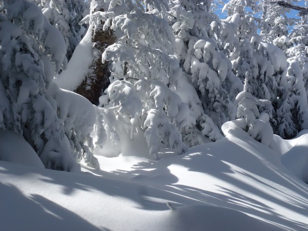
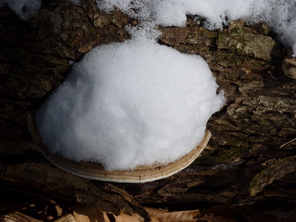
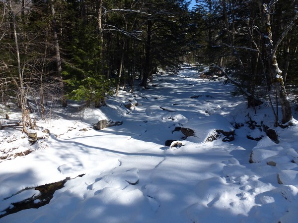
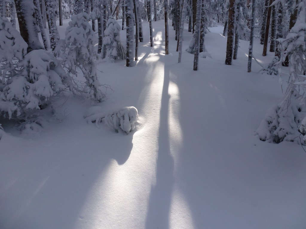
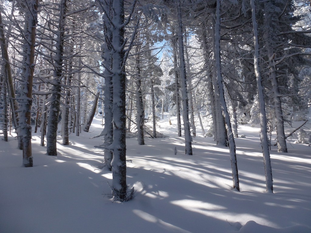
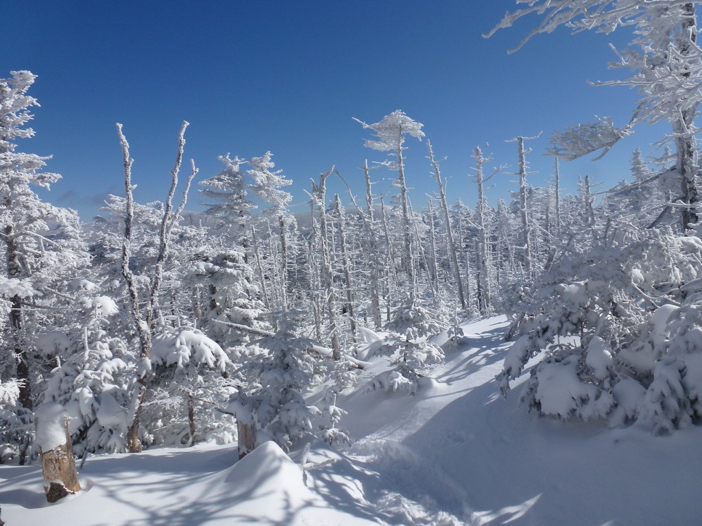
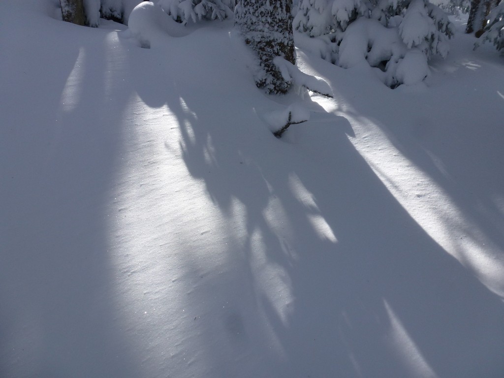
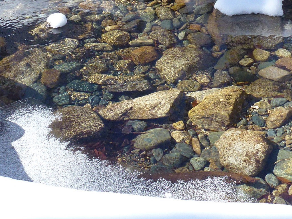
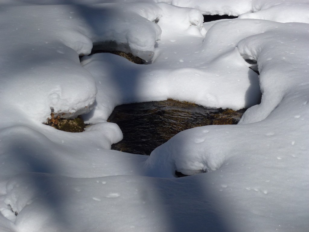
There was only about an inch of fresh power in the lower portion of the trail but it kept getting deeper as we climbed. There has already been at least one party ahead of us though, in snowshoes, and the trail was well broken and fairly well packed. There were a couple of short stretches higher up where we could have used snowshoes but we just trudged on through those section rather than wasting the time to stop and switch. We had snowshoes with us but never used them.
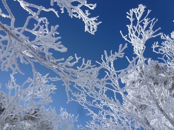
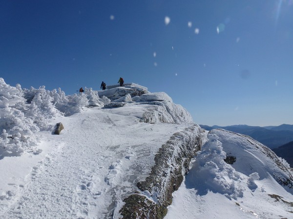
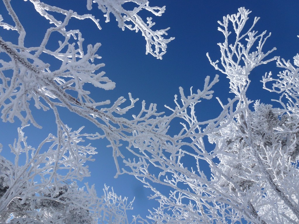
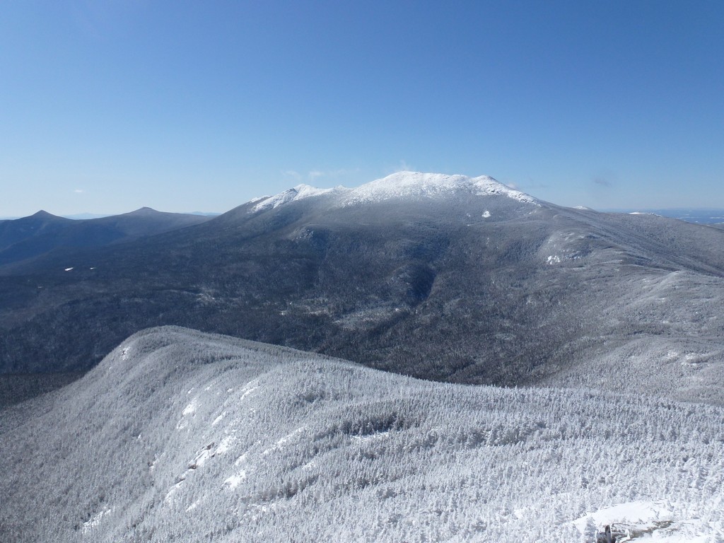
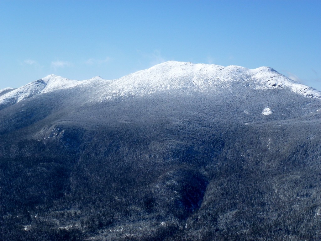
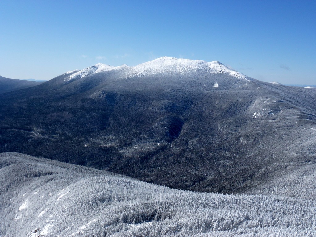
The clouds continued to break up and move off as we climbed towards the summit and by the time we reached the junction with the Garfield Ridge Trail there was not a cloud in the sky. It continued to get colder as we climbed higher as well and we had to stop to put on our winter jacket as well as our balaclavas before we reached the junction.
|
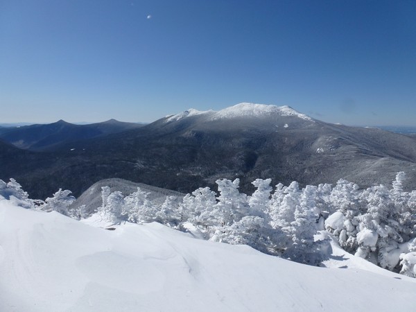
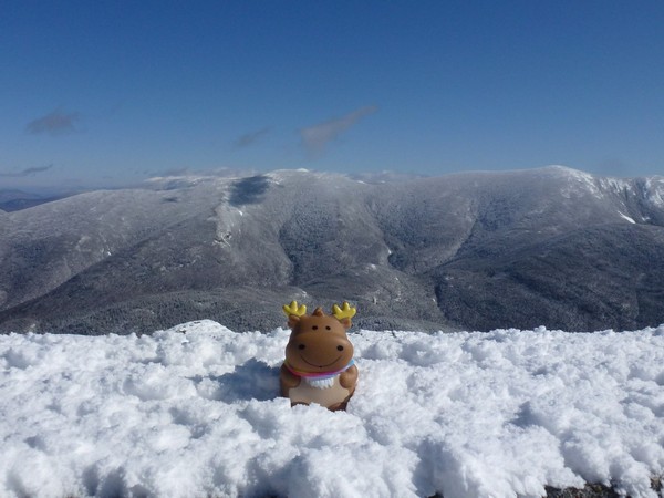
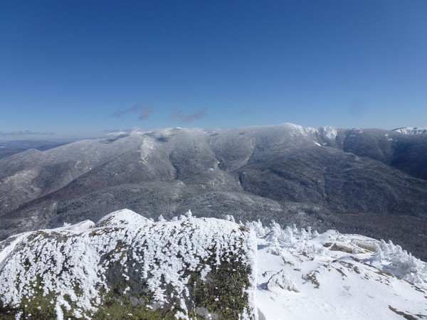
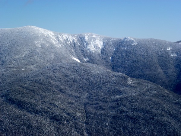
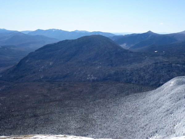
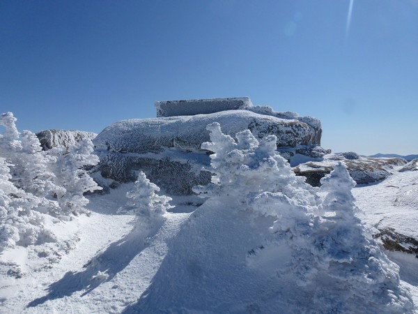
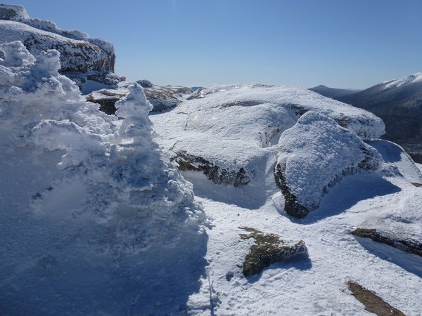
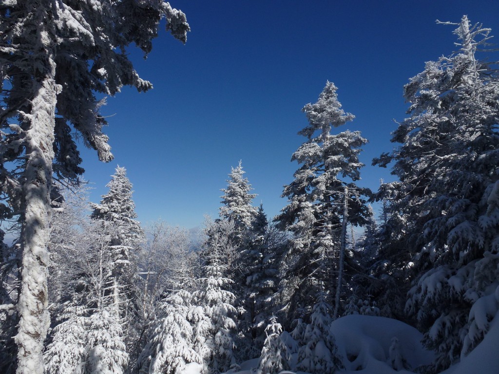
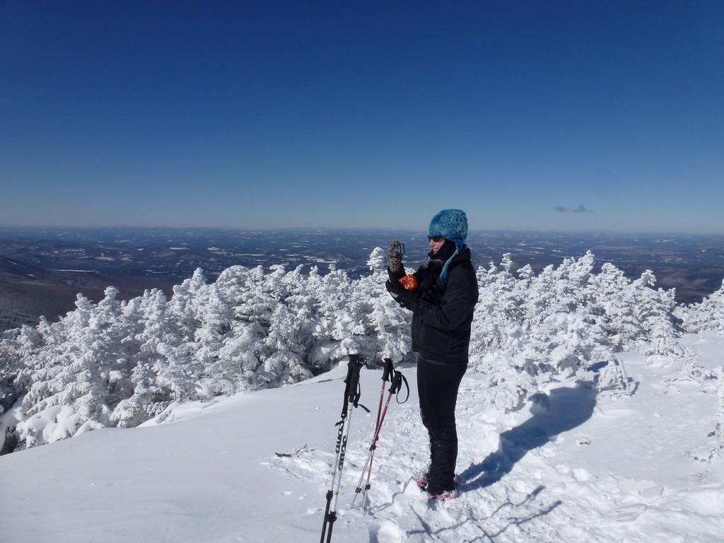
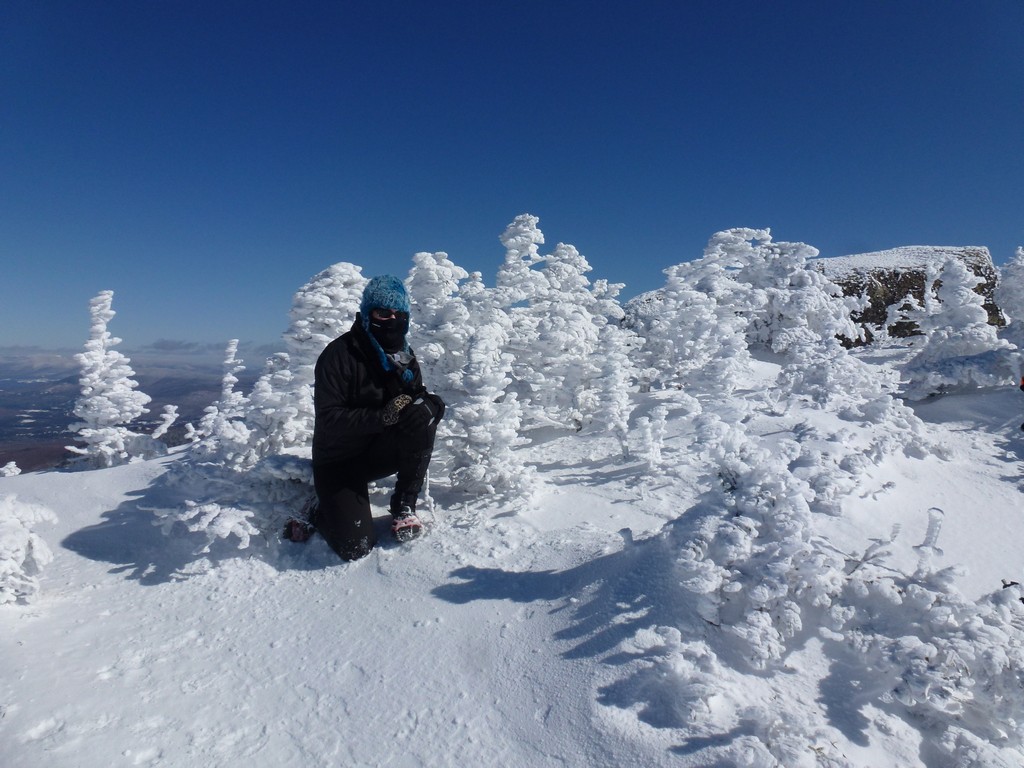
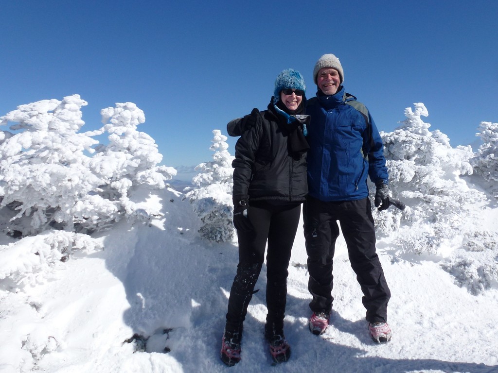
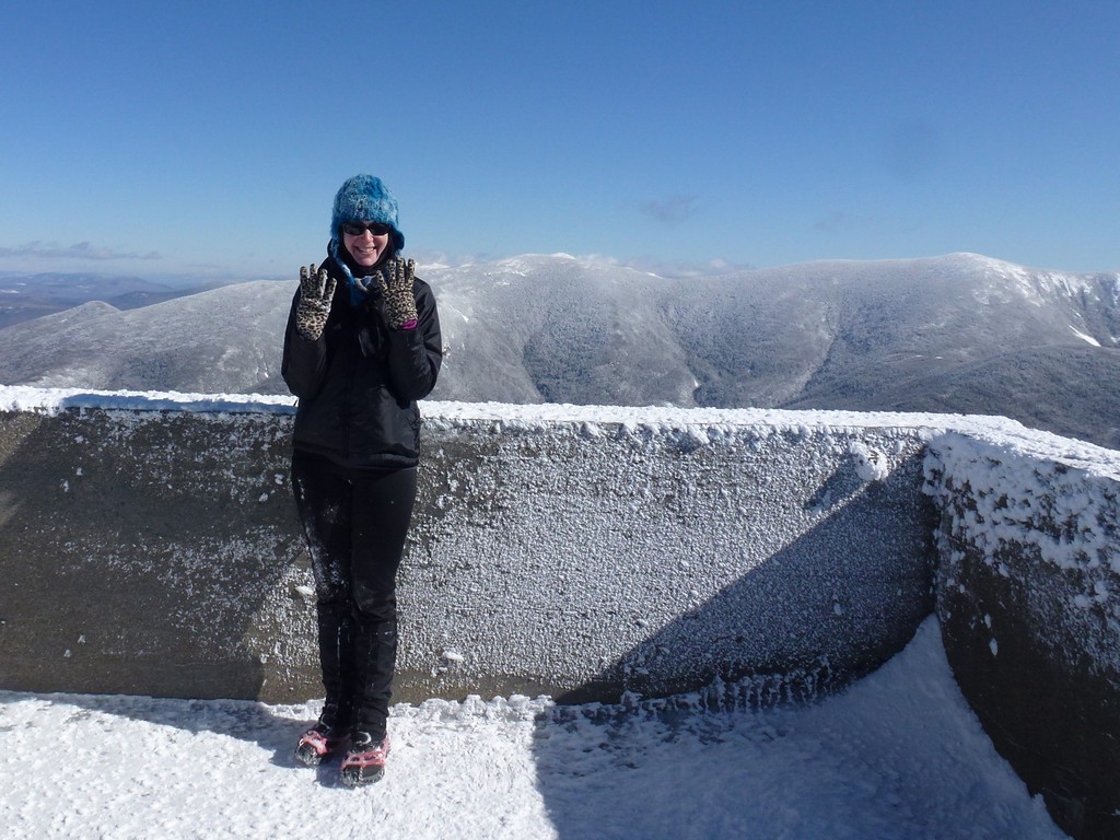
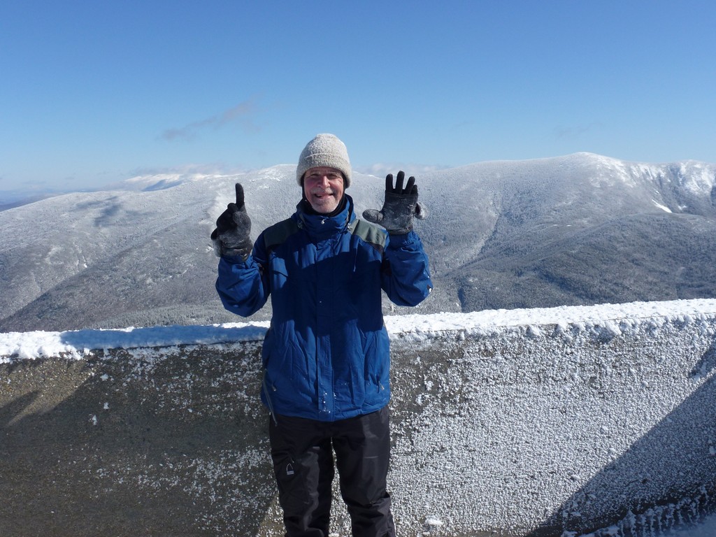
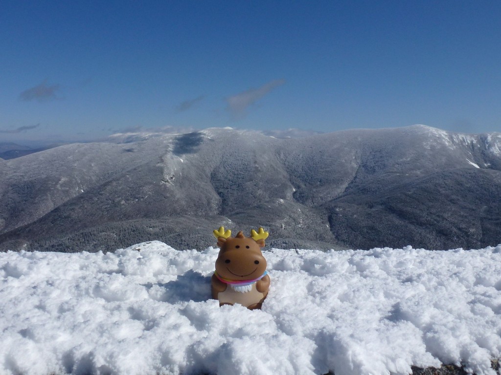
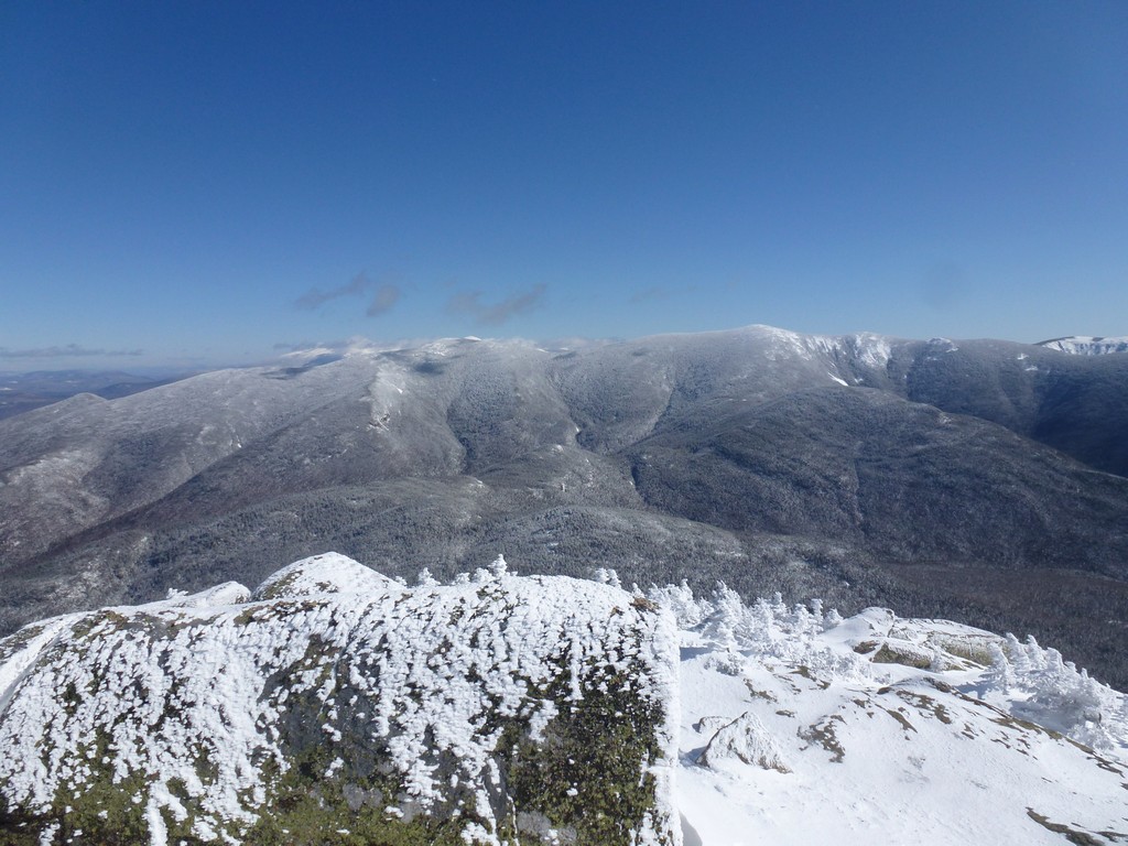
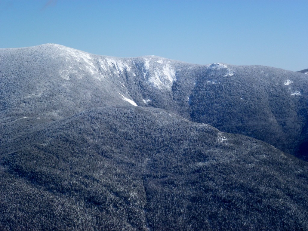
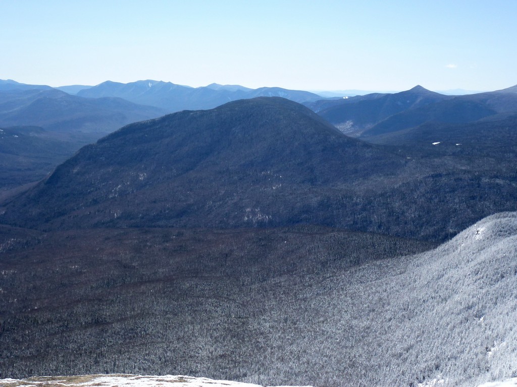
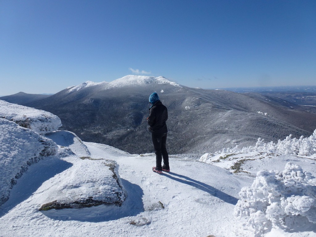
The view from the summit was magnificent and we spent a little time taking photos up there. We had really nice views of Franconia Ridge to the north and west and also of North and South twin and Mount Galehead to the easy. It was also very windy up there though and even with the additional layers we were getting chilled just standing around.
|
We had made awesome time getting up to the top of Mount Garfield and it was still early in the day so when we left the summit and returned to the Garfield Trail junction where we had left our packs we talked for a while about trying to do Mount Galehead as well. It wasn't part of the original plan but we both needed it for our various lists and it wasn't that far away. People had been along the ridge ahead of us and the trail heading in that direction was well broken. I had recommended this option to Katie when we first talked about doing this hike but she didn't think she would be up for the 18 miles that would end up being. I wasn't about to push it now and was happy to let her make the final call. I knew she wanted it and she wavered back and forth a few times before finally deciding against it. It was no big deal and could wait for another day.
|
We made awesome time flying down the trail and only stopped once for a "restroom" break and again for a short lunch break. The lunch break was in a nice sunny area it was actually quite comfortable. I decided to get rid of my winter jacket abd balaclava at that point and put my microfleece back on.
|
As is frequently the case the last portion of the trail seemed to go on forever even though we were making very good time. We were back at FR 92 around 1:40 and back at the parking area just a little around 2:15 or so.
Katie told me when we started that this was going to be a 3,000' foot climb but it never really felt like it. The lower portion of the Garfield Ridge Trail was a very gradual climb, almost imperceptible at times. The upper section was a little steeper but there was nothing I ever really considered steep. The only steep part was the final climb from the junction with the Garfield Ridge Trail to the summit and that was very steep. I had a very hard time trying to figure out how to get around one icy, snow-covered section. On the way down both Katie and I used the "slide" approach which was a lot easier and actually quite fun.
Since we finished so early we stopped at The Common Man in Ashland for a couple of brews and "second lunch". :)
|
|
|
|---|
|
|---|


