|
Mount Tom, Field & Willey day hike |
|---|
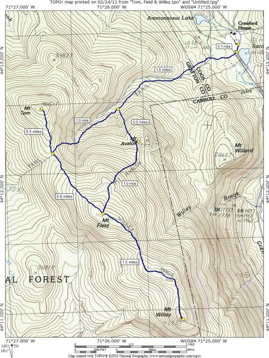
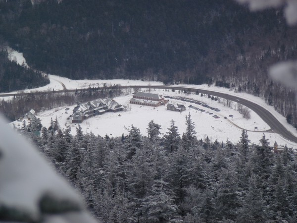
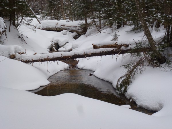
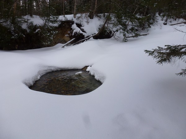
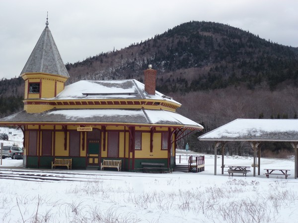
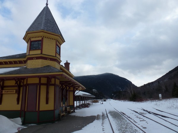
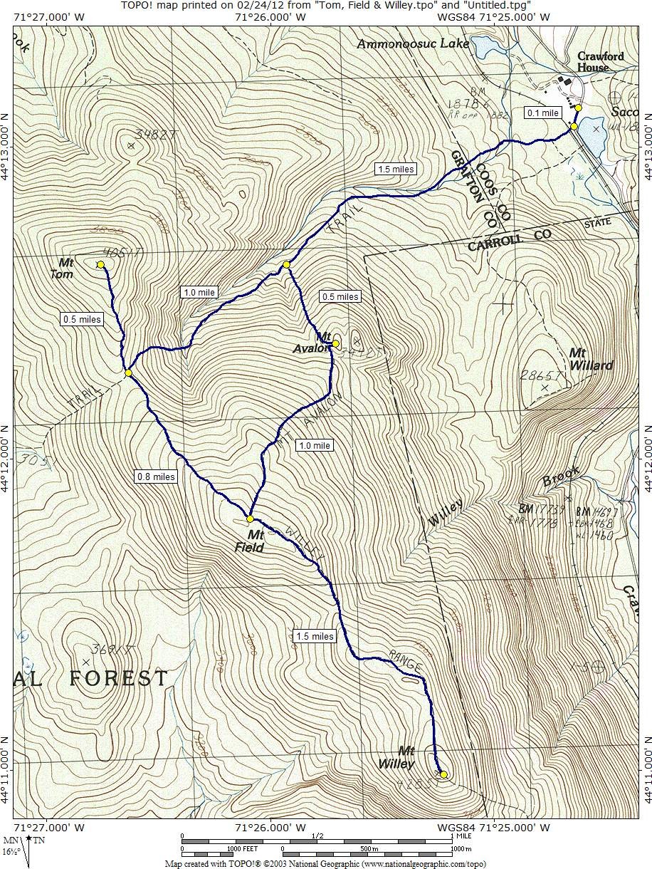
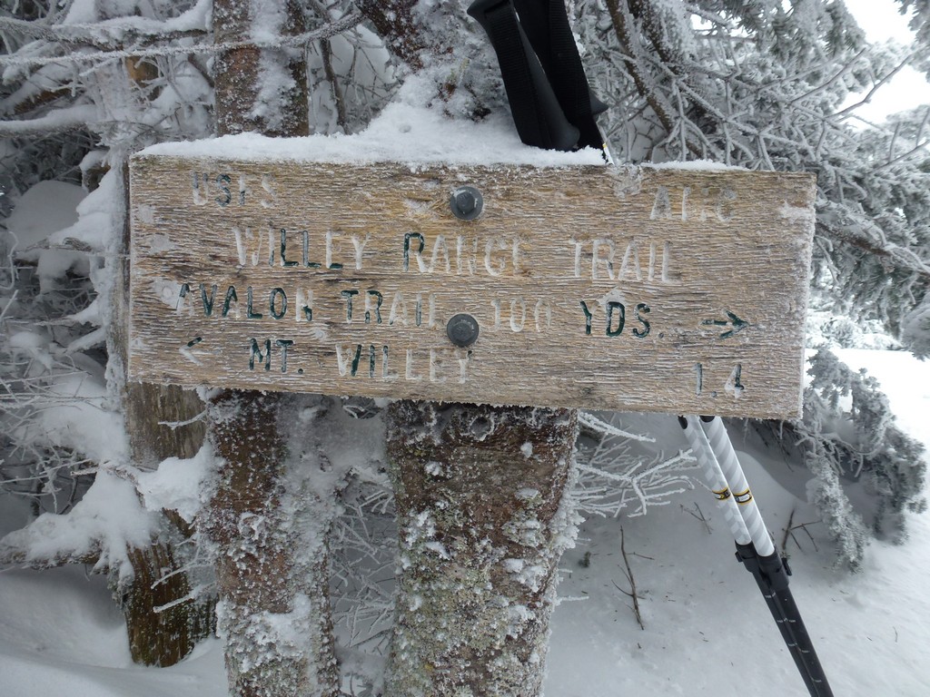
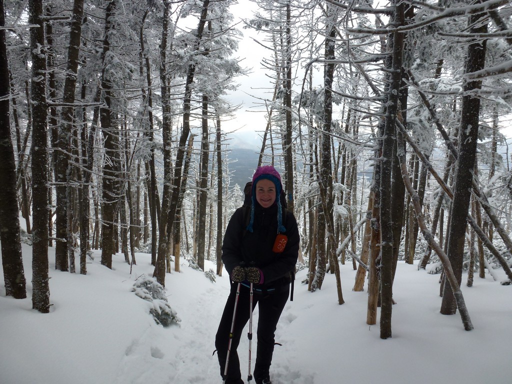
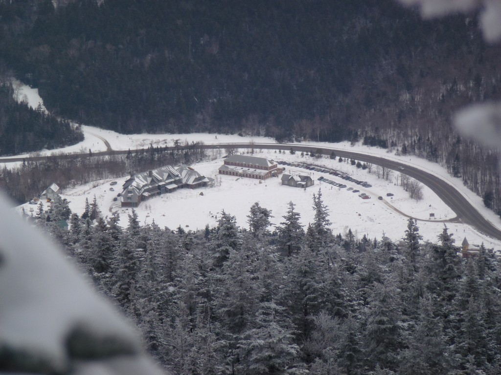
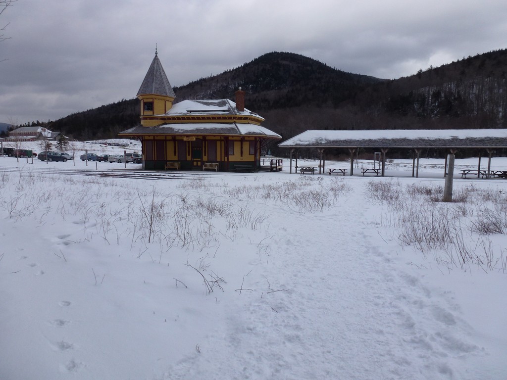
This day hike started at the parking area next to the railroad depot, just south of the Crawford Notch lodge, on NH Route 302. From there we took the Mount Avalon Trail to the A-Z Trail and then to the Mount Tom Spur Trail to the summit of Mount Tom. From Mount Tom we went along the Willey Ridge Trail to Mount Field and then onto Mount Willey. On the return we descended the Mount Avalon Trail from Mount Field and made a quick side trip to the summit of Mount Avalon before continuing back down to Crawford Notch.
|
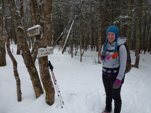
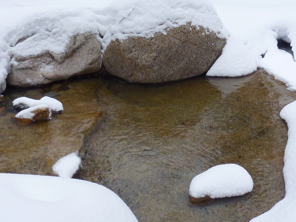
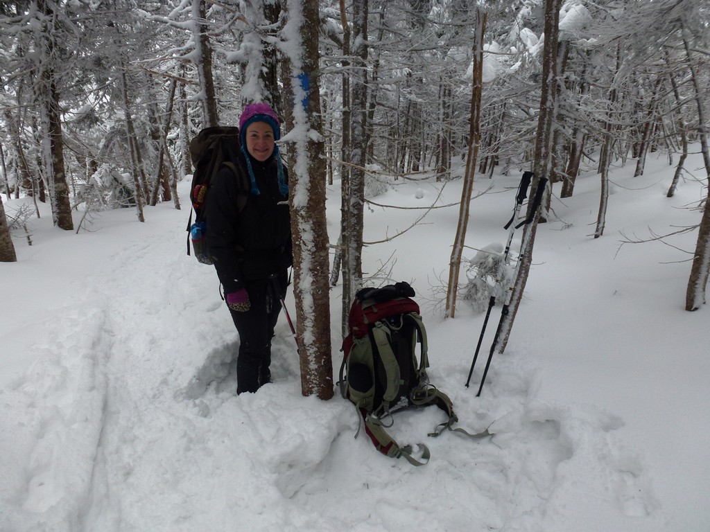
The starting point for this hike was the parking area next to the railroad depot, just south of the Crawford Notch lodge, on NH Route 302.
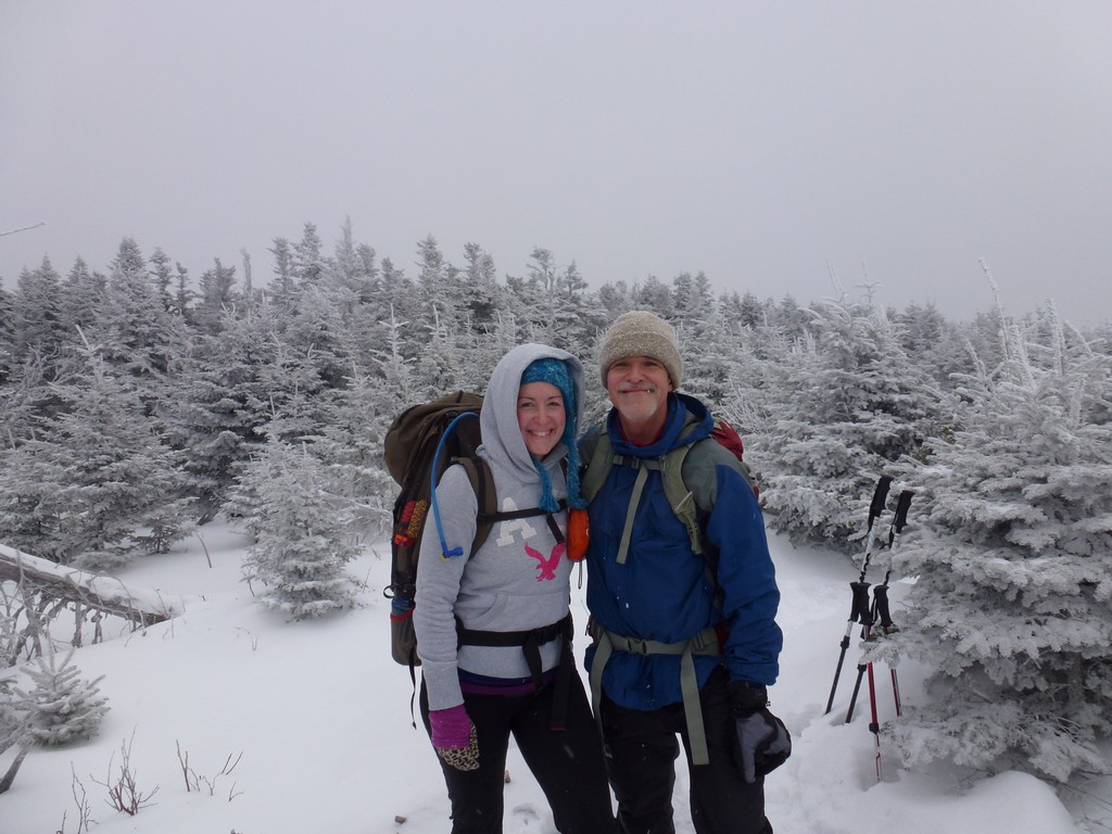
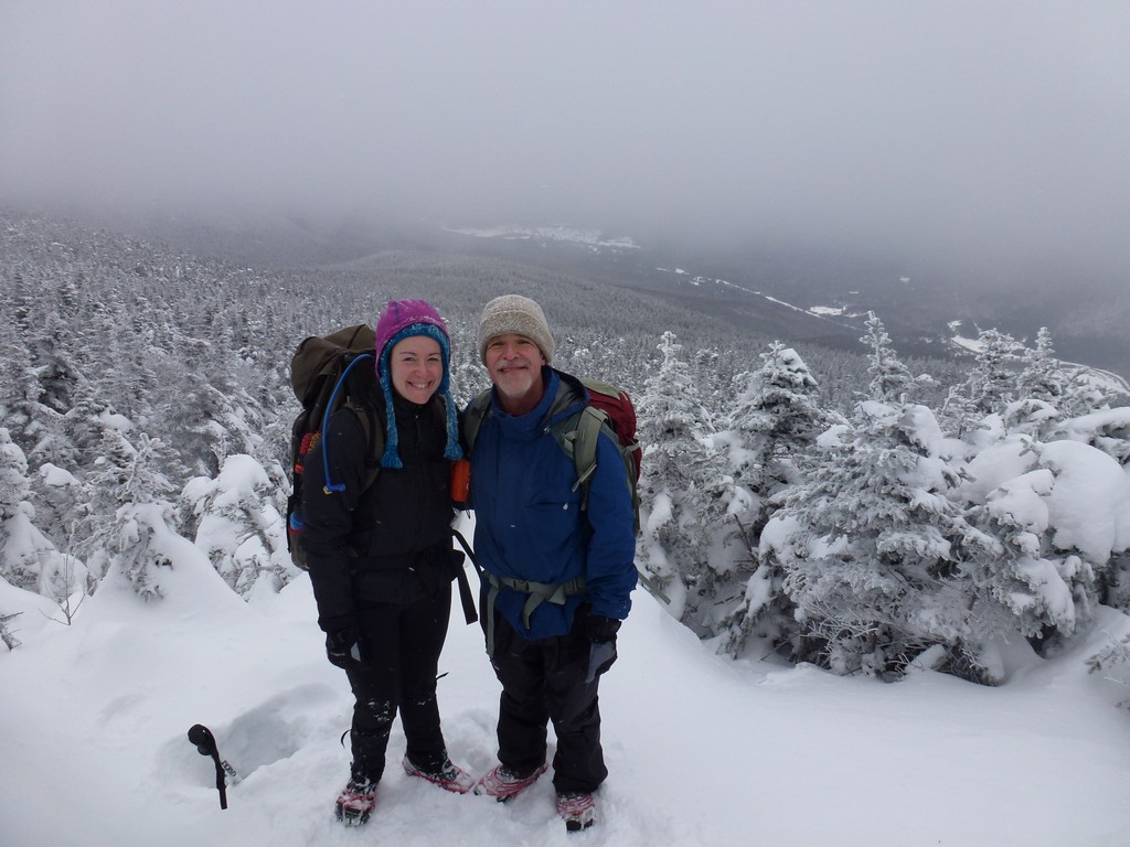
These peaks would be numbers 9, 10 and 11 on my winter 4000-footer list. They would also be 41, 42 and 42 on Katie's general 4000-footer list.
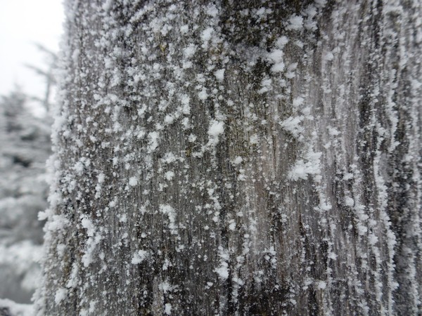
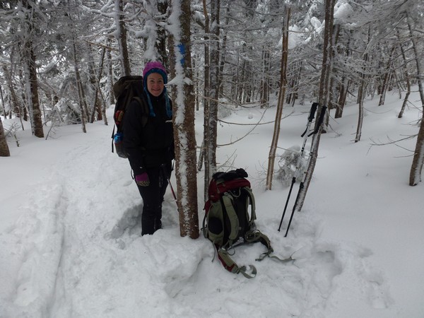
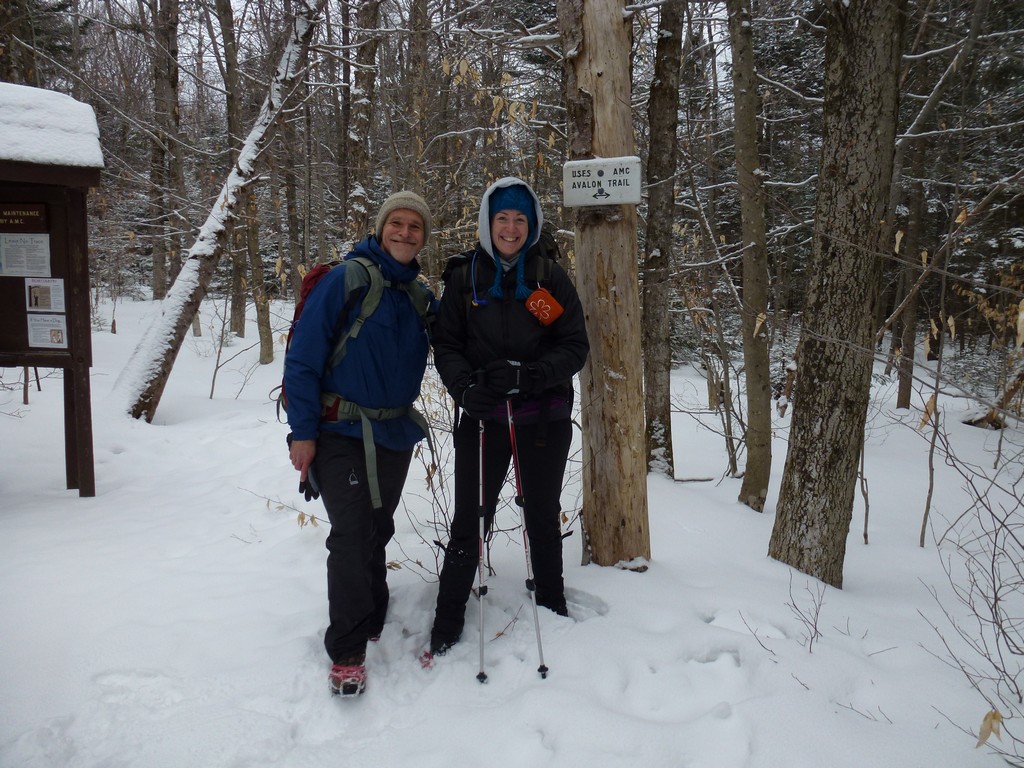
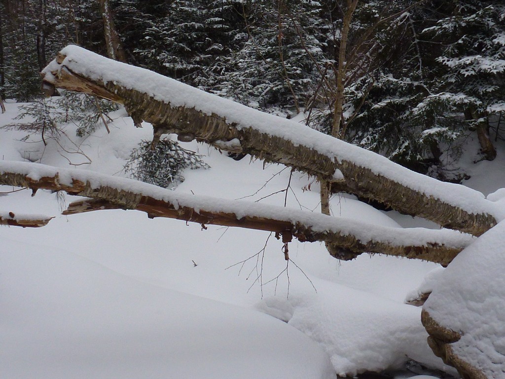
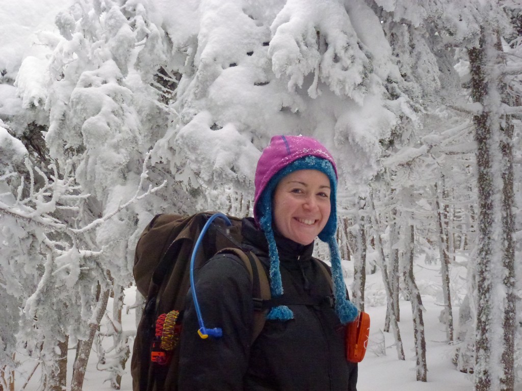
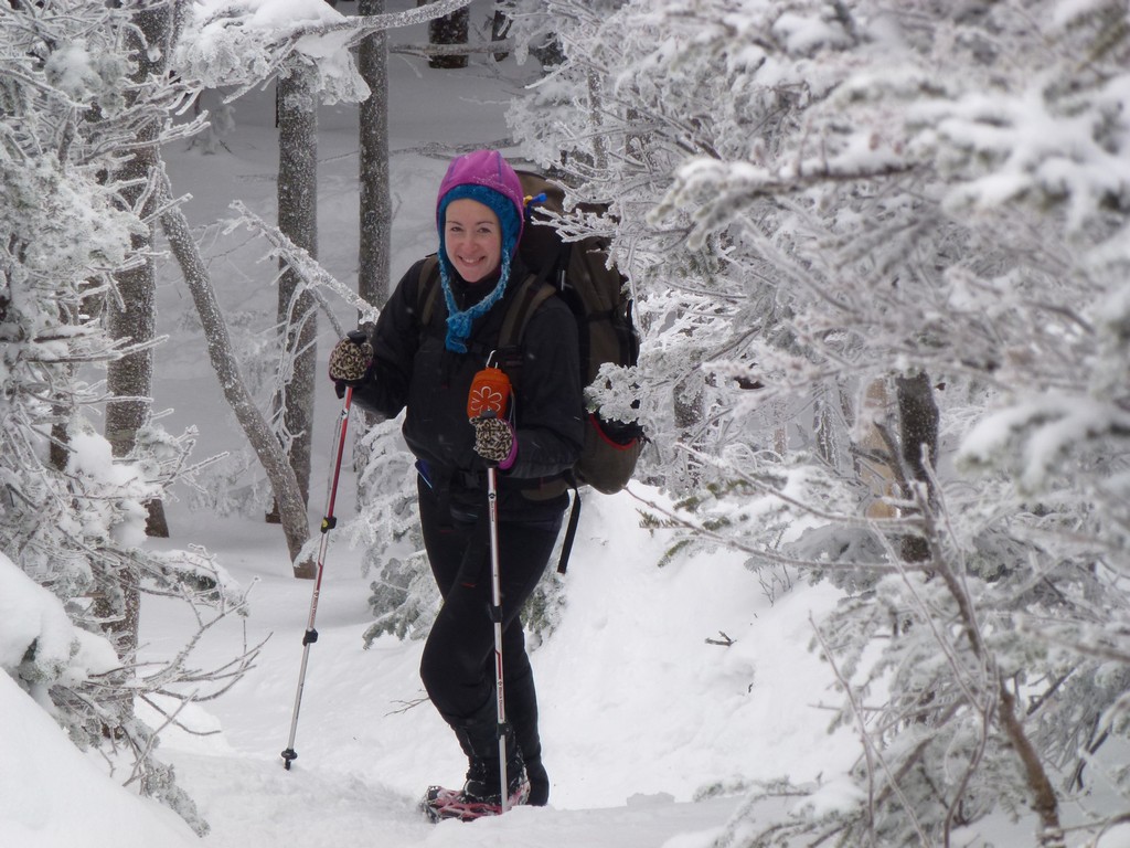
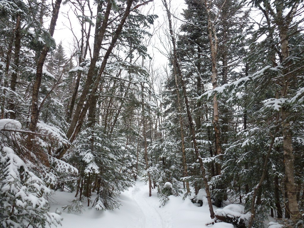
We had originally hope to start this hike by 8am but that didn't work and it was about 8:45 before we finally started up the Mount Avalon Trail. I'd had an amazing streak of nice, sunny weather for hiking in the White Mountains over the summer, fall and into the winter so far and this was the first cloudy day in a very long time. It wasn't supposed to be cloudy according to the forecast and there had been plenty of sunshire on the other side of Franconia Notch on the way up but the clouds just seemed to be stuck there on the northern flanks of the Whites. C'est la vie.
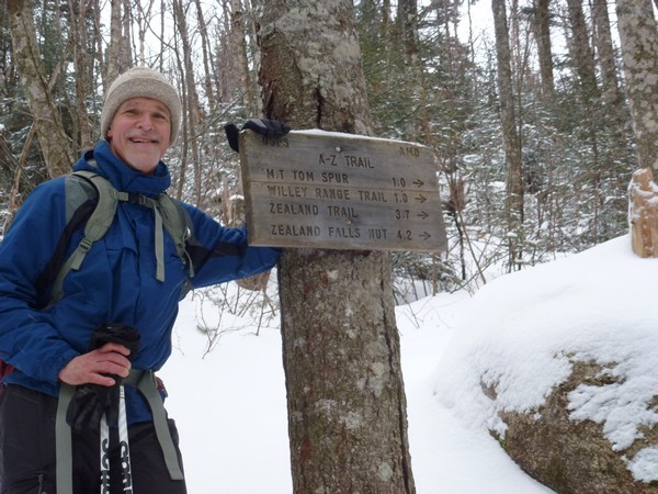
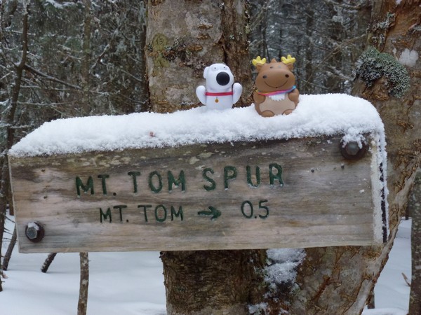
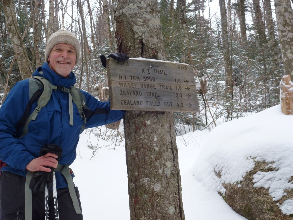
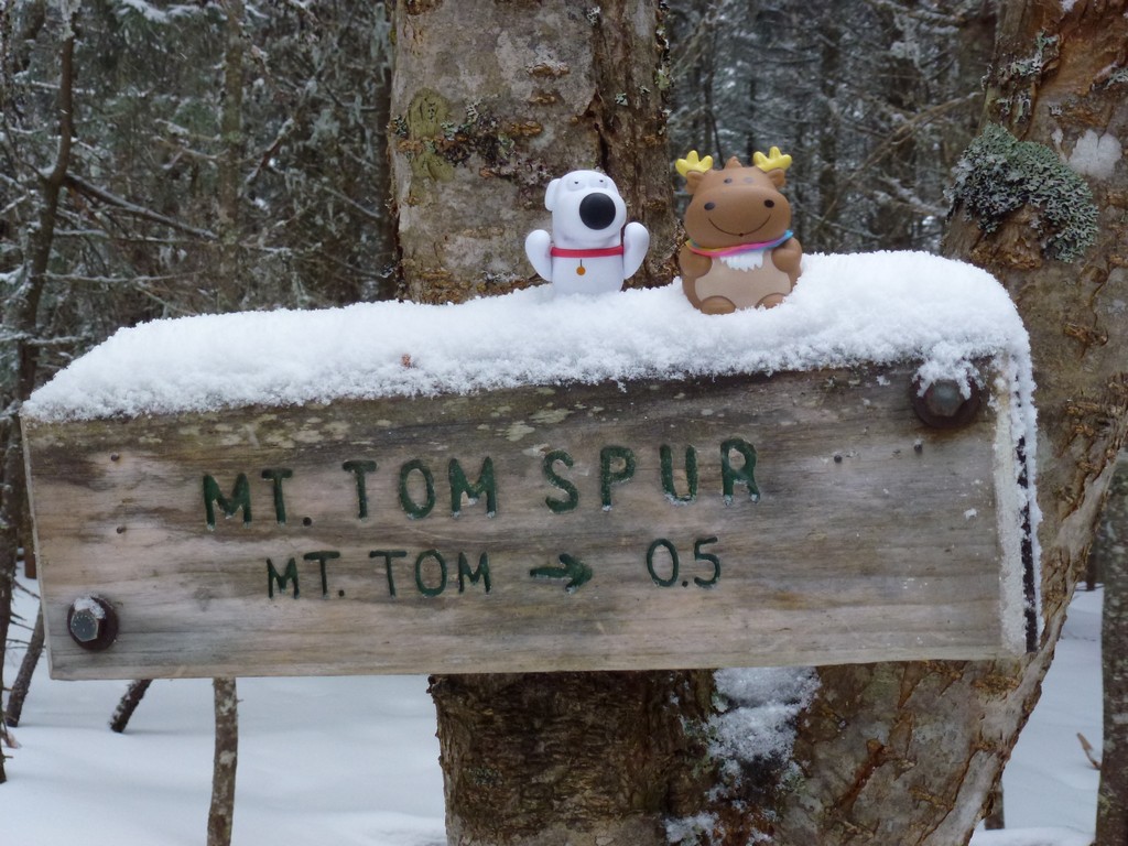
We made very good time on the trail and arrived at the A-Z Trail junction around 9:30 and then the Mount Tom Spur Trail around 10:15.
|
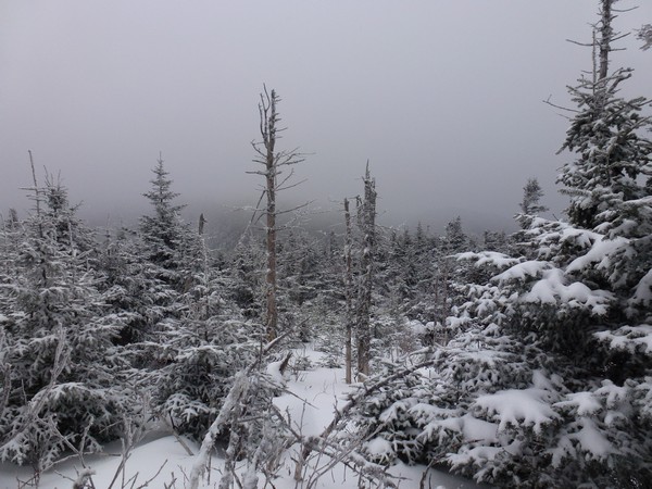
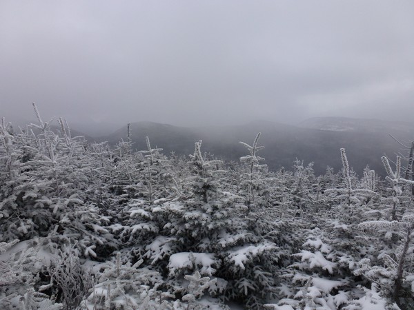
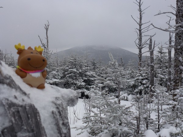
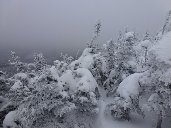
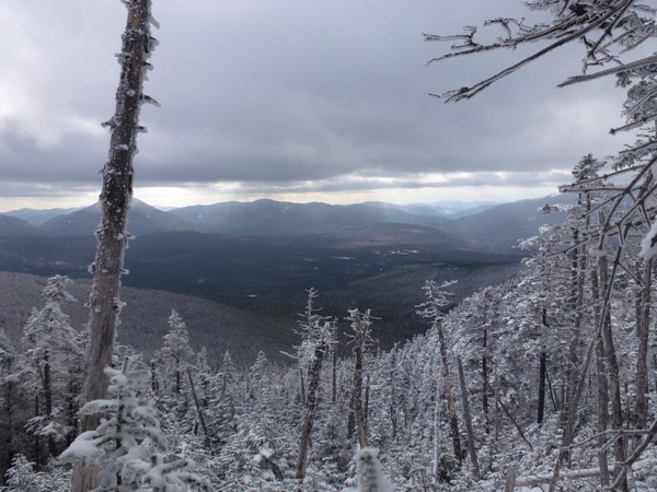
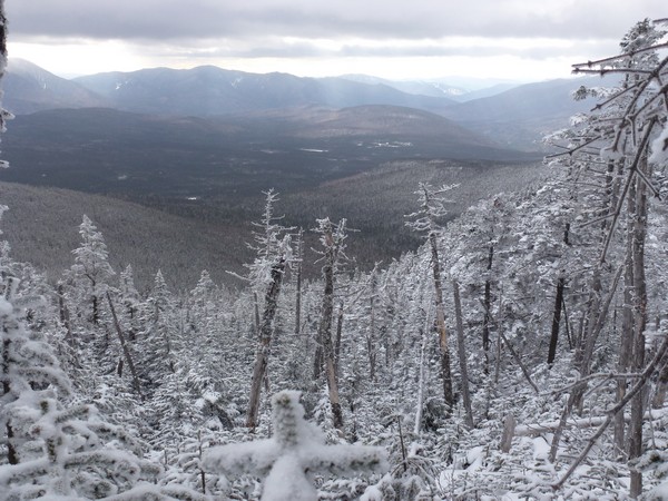
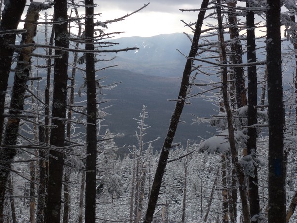
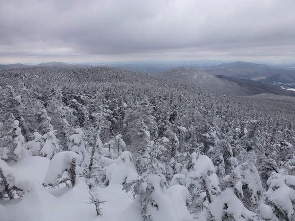
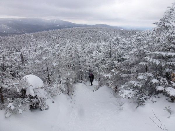
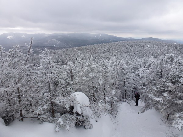
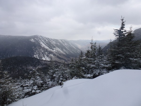
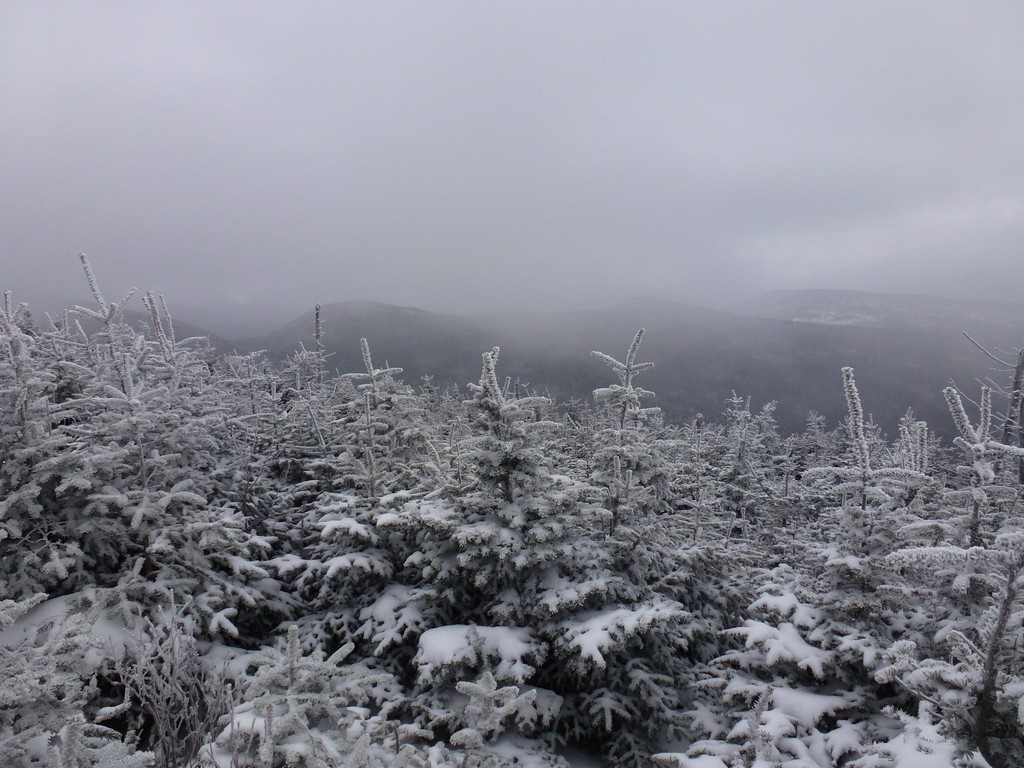
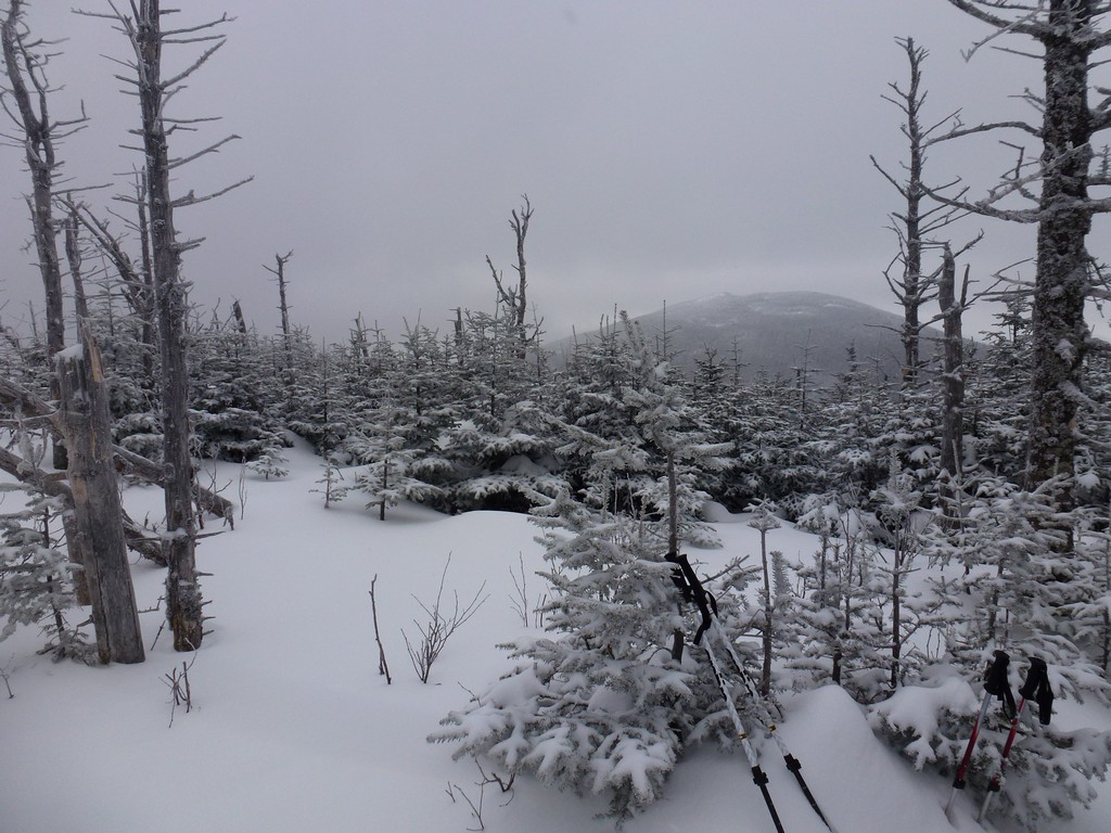
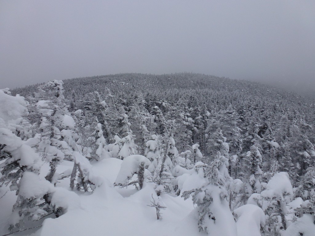
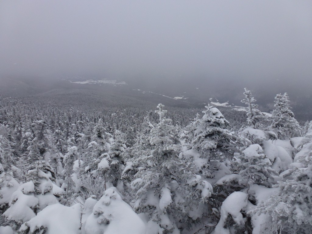
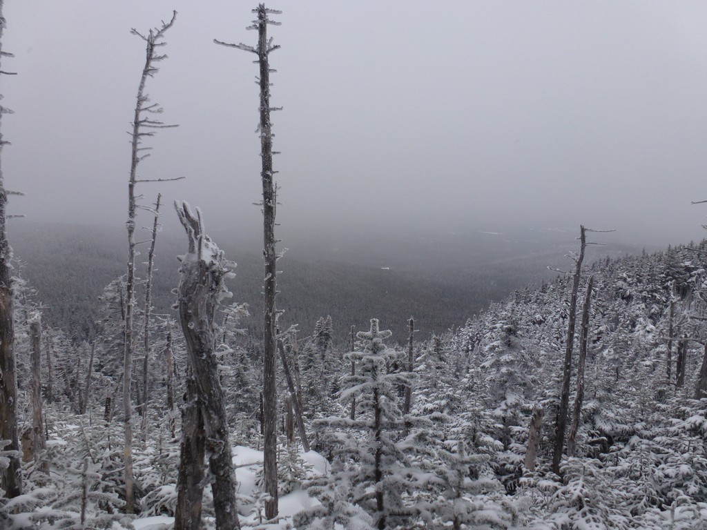
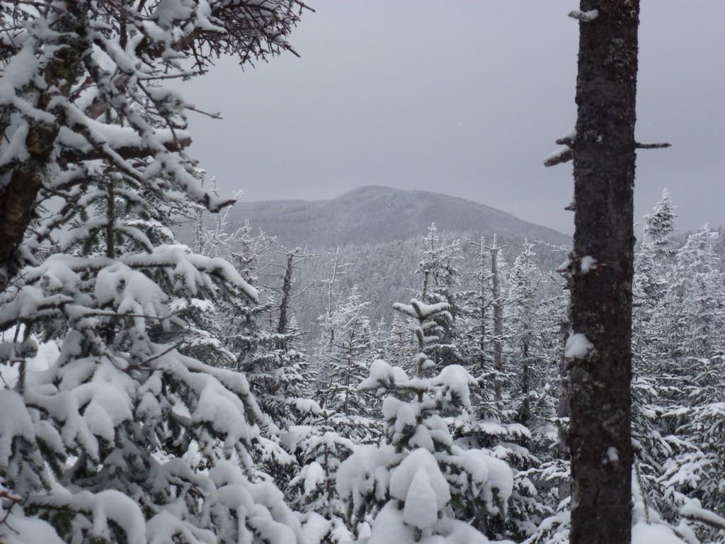
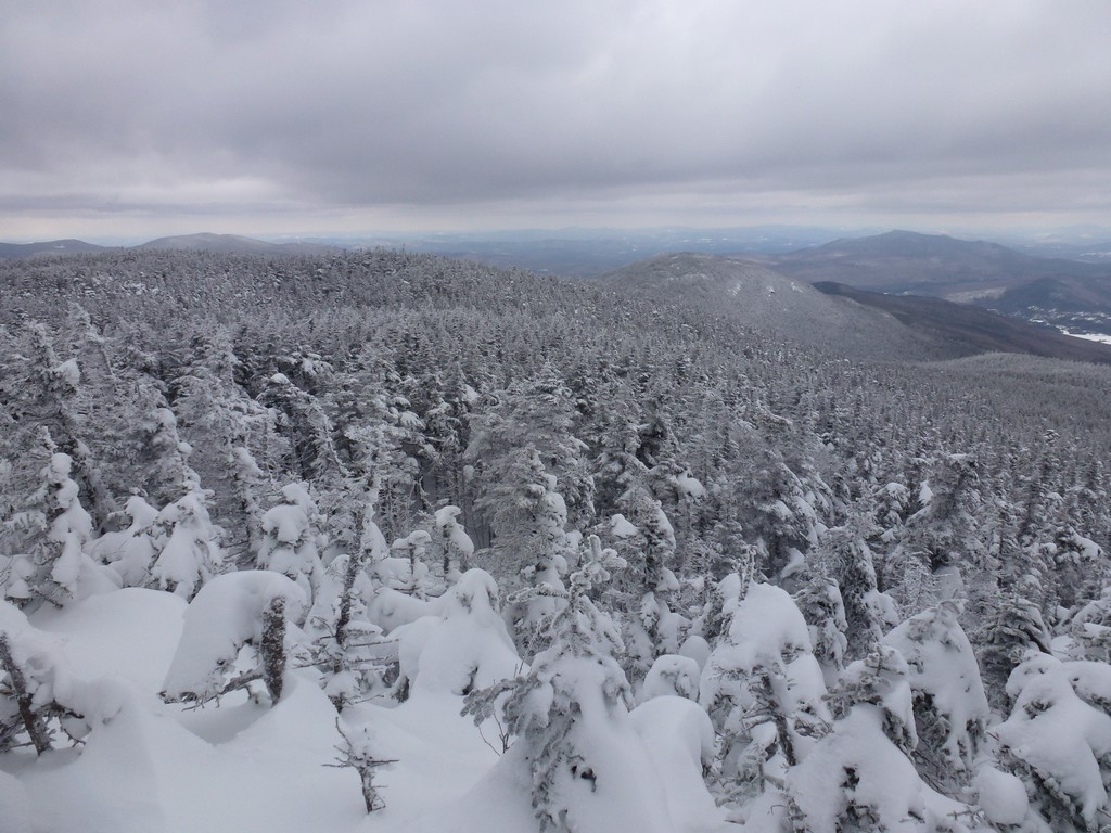
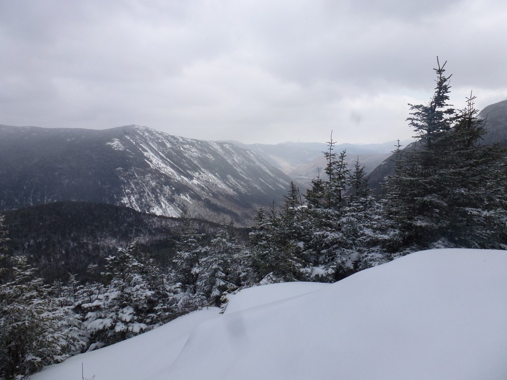
It was only about 15 minutes from there to the top of Mount Tom where, because of all the clouds, there was really not that much to see. We had the occasional glimpse of the ridge to the north and some sections of the valley below but there were lots of clouds. It was cold and windy up there too so we did not stay long.
|
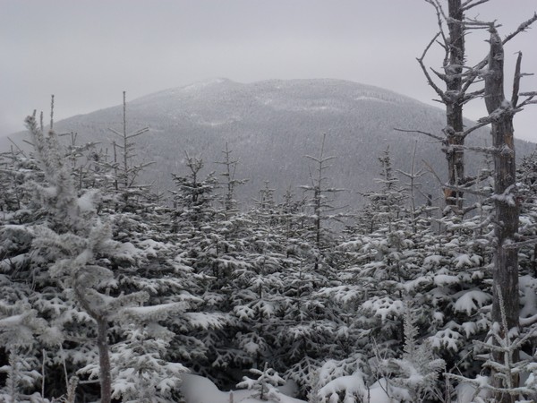
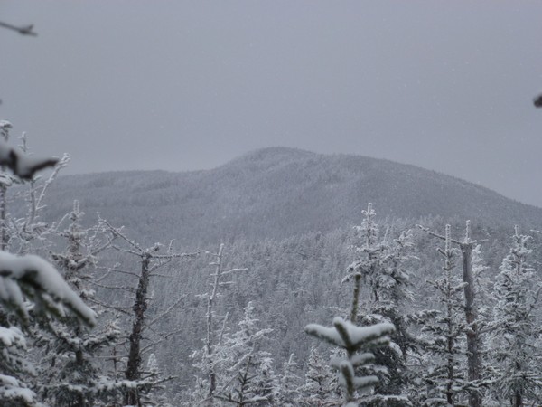
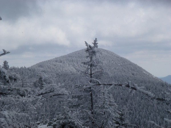
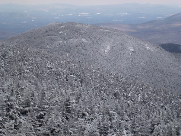
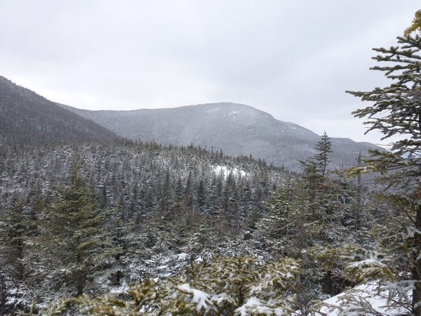
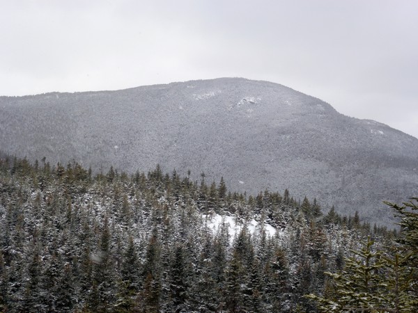
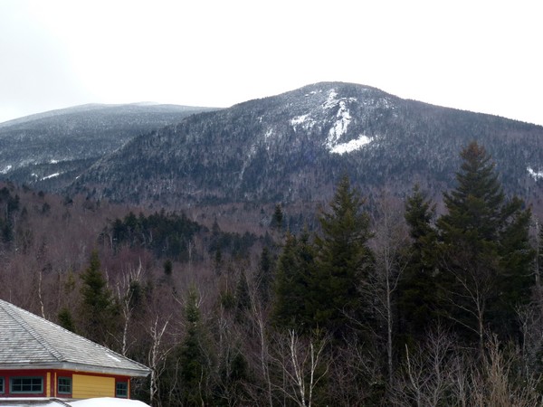
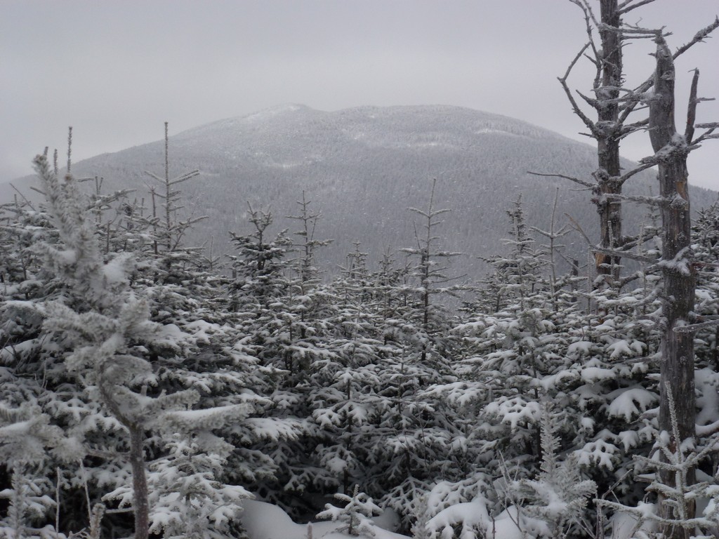
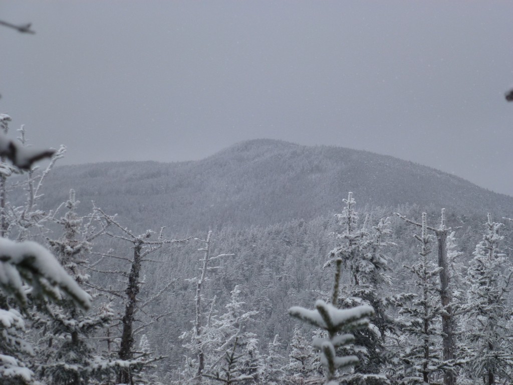
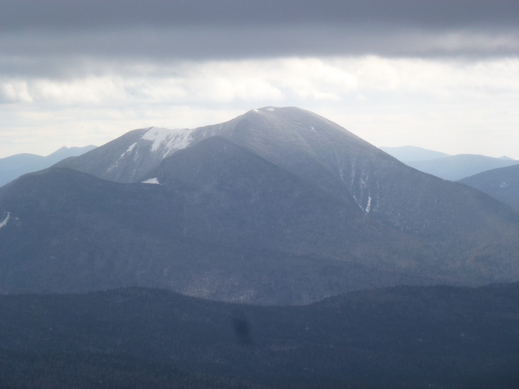
We did get some really nice views of Mount Field on the way back down the Mount Tom Spur Trail though. The clouds cleared its summit several times during the descent and each time it was one of those "Ooo, Ahh" moments.
|
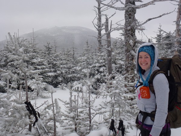
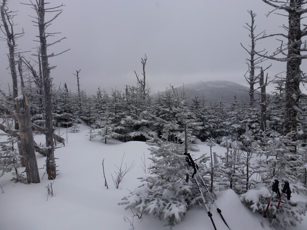
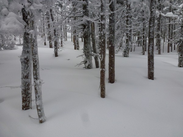
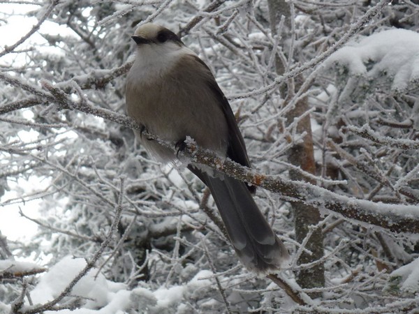
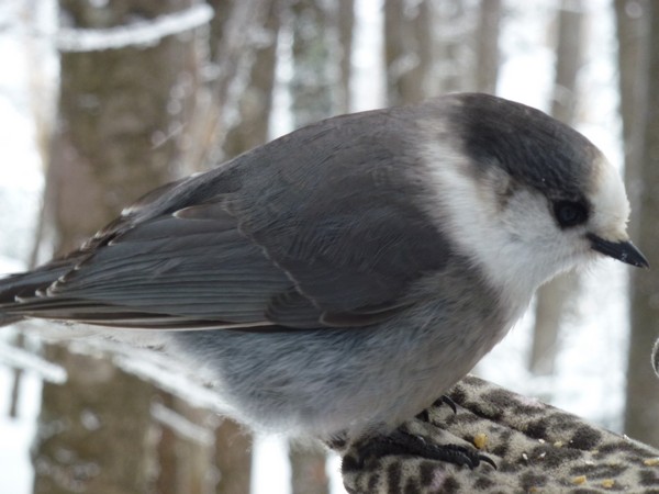
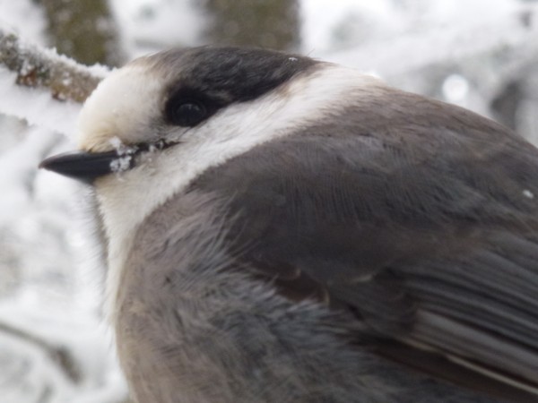
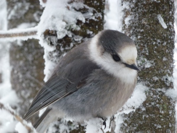
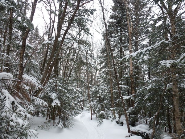
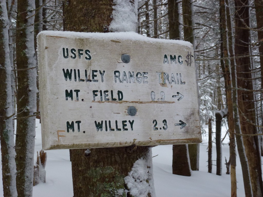
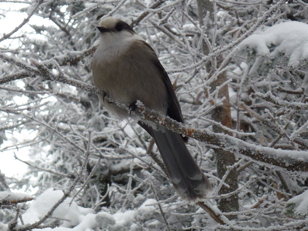
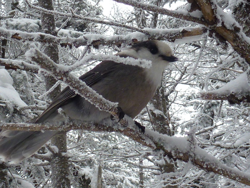
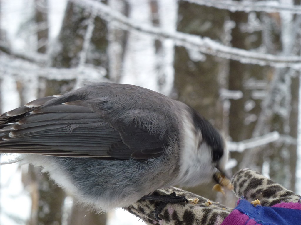
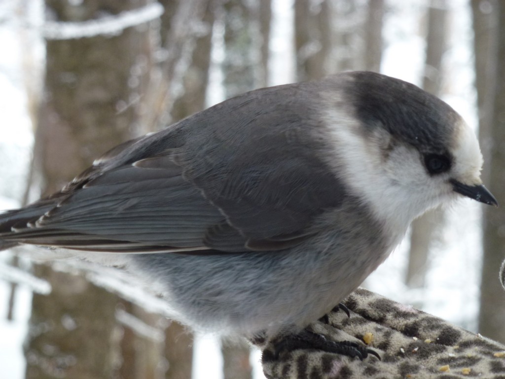
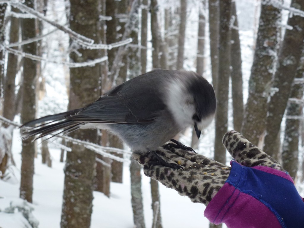
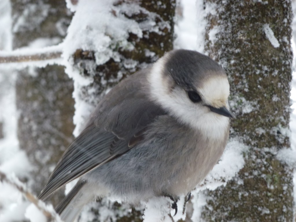
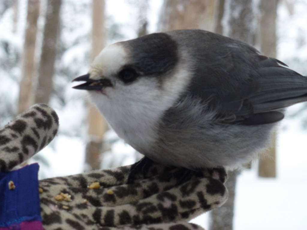
The hike across the ridge on the Willey Range Trail was very nice and quite beautiful. We had an encounter with another party who had been feeding some of the Canada/gray jays close to the summit of Mount Field and that was lots of fun.
|
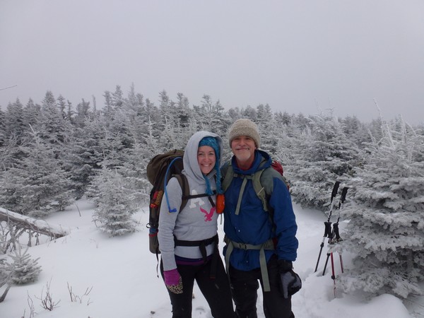
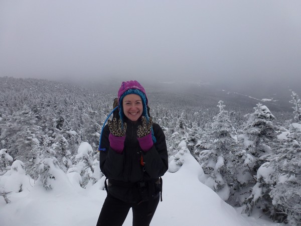
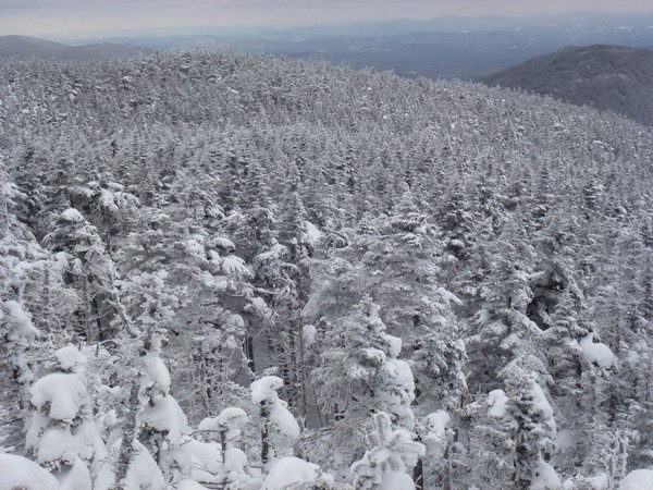
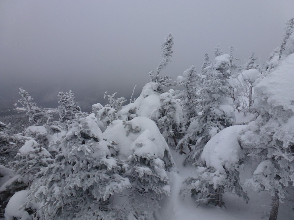
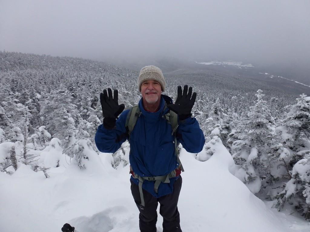
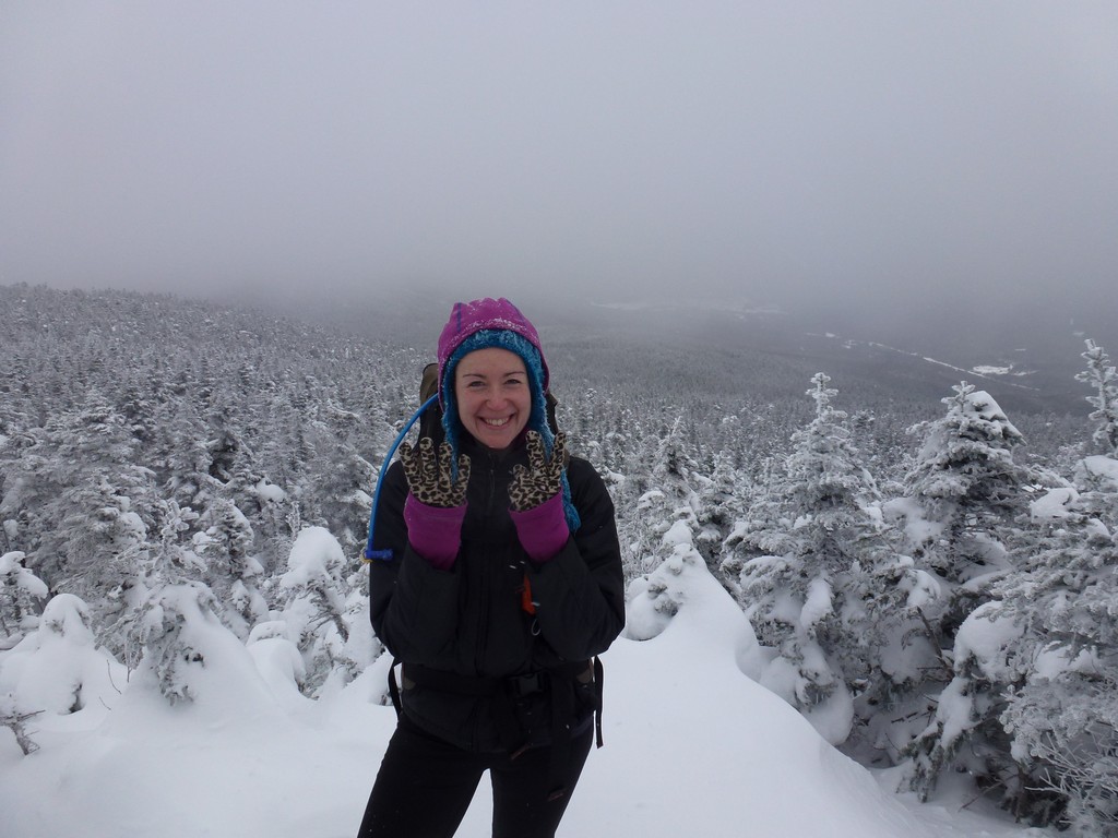
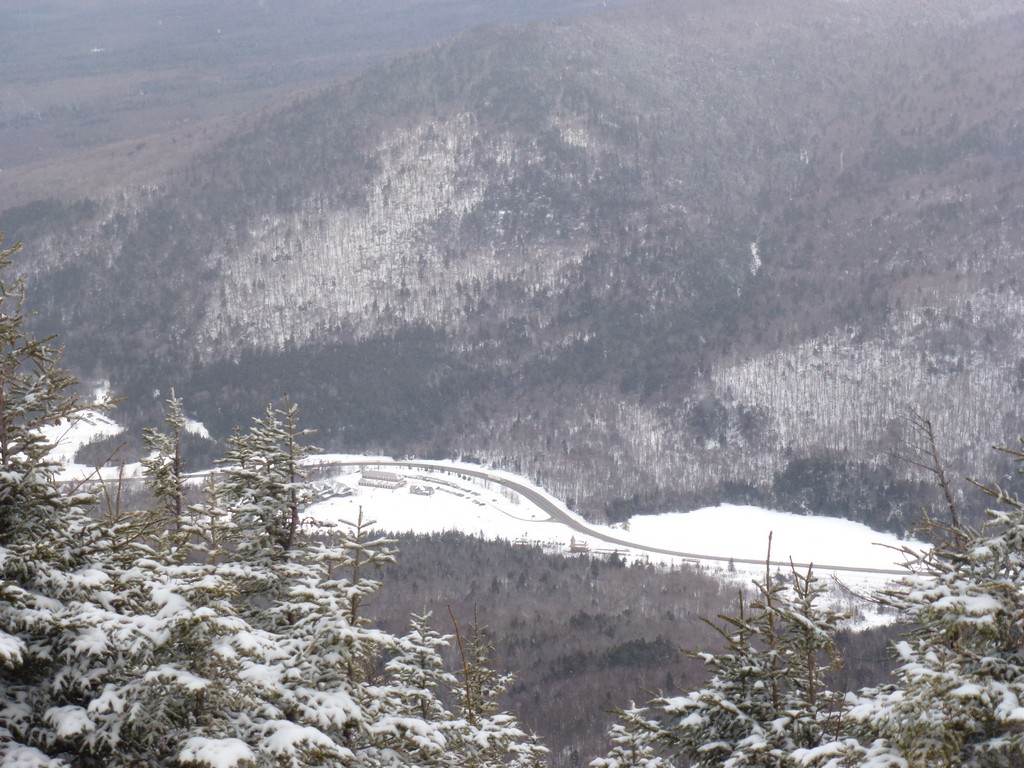
We made it to the summit of Mount Field by around 11:45 and had pretty much the same non-views as we had from Mount Tom. It was still pretty though. It may have actually been a little better than on Mount Tom as occasionally we could actually see all the way down the slope to the bottom of Crawford Notch.
|
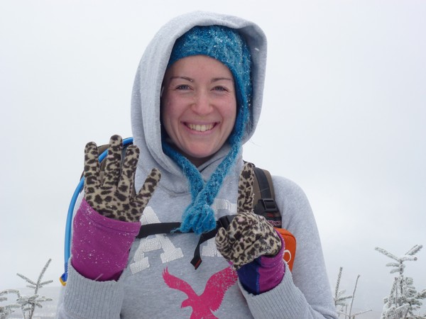
Again, we didn't stay long. We just took some photos to prove we were there and headed off for Mount Willey.
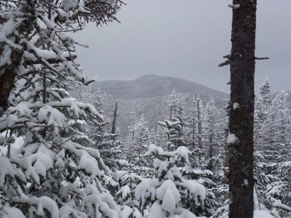
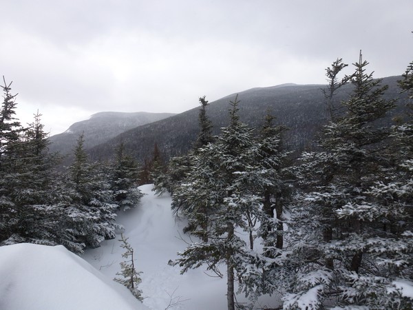
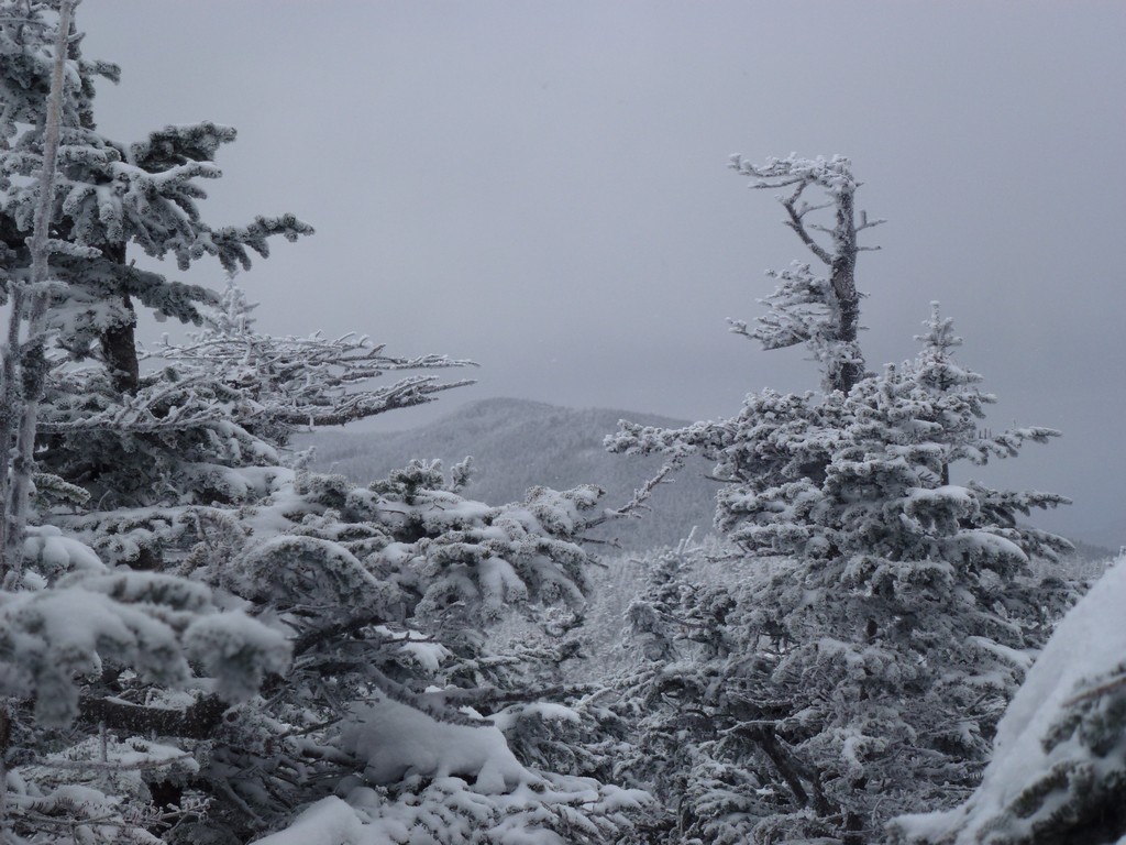
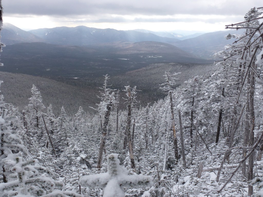
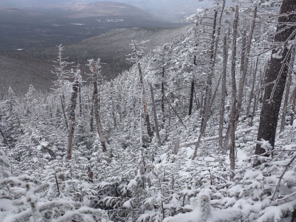
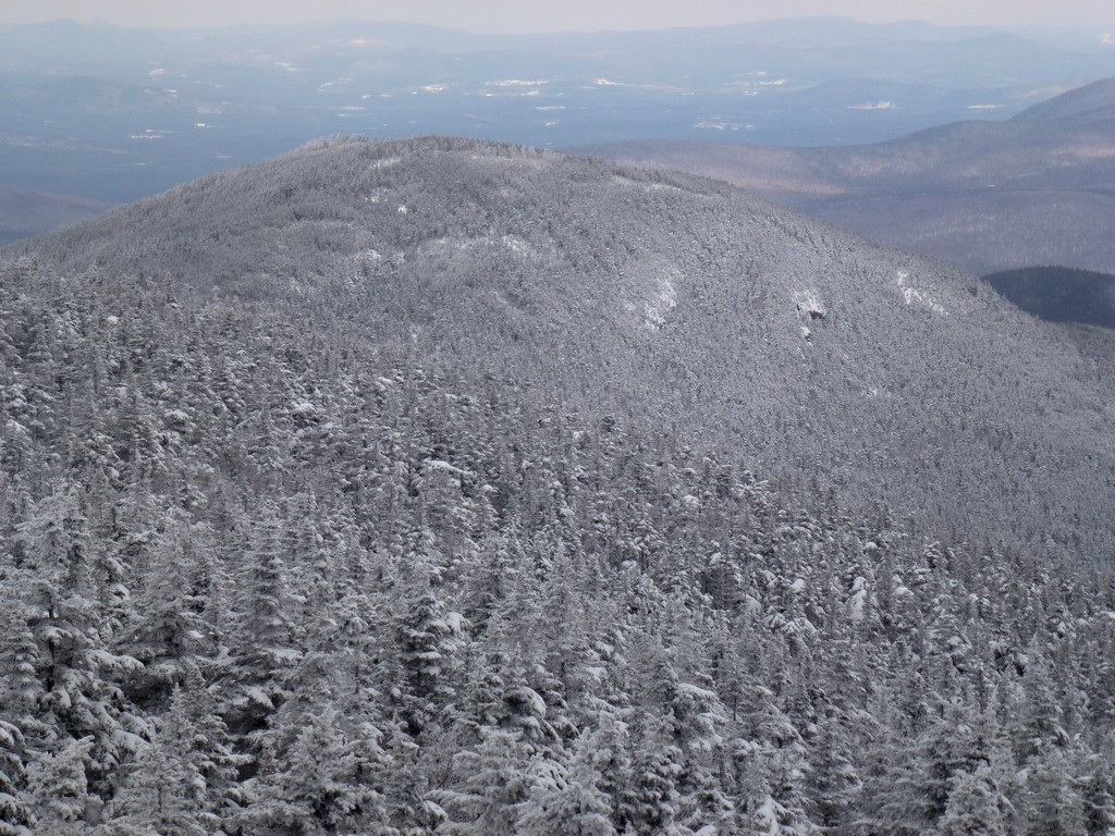
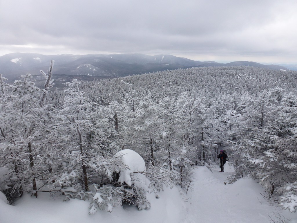
We had a couple of nice views down into the Pemigewasset Wilderness from the Willey Range Trail on the way over to Mount Willey and the clouds even lifted enough at one point to see all the way back to Mount Tom.
|
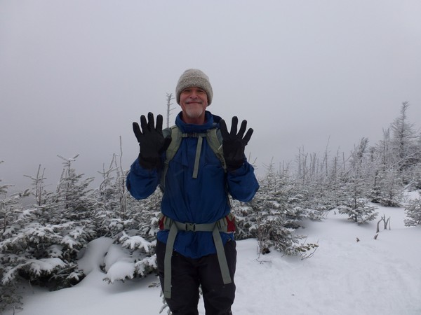
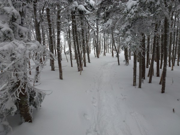
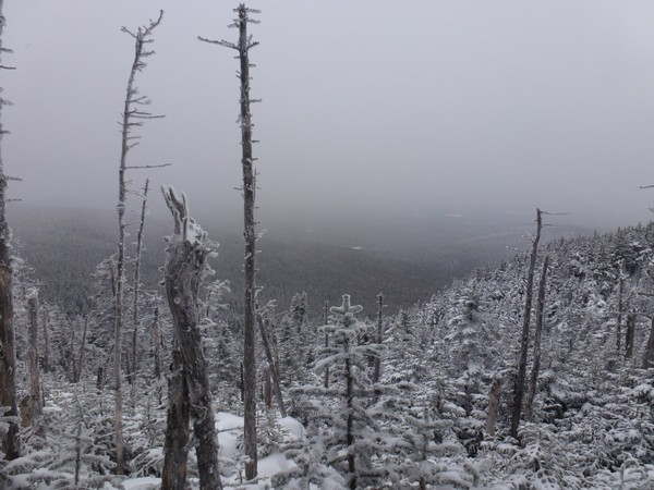
Mount Willey was a bust and there wa no view at all from the top, just trees. We took some photos at the high point, where it looked like many others at taken photos, and then just turned tail and headed back towards Mount Field.
|
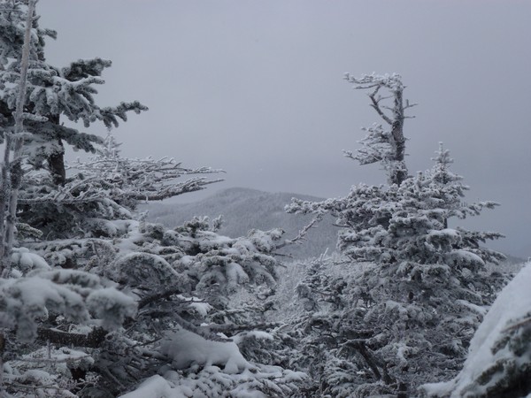
We stopped just a little way down from the top of Mount Willey to have some lunch. We had some nicer views on the way back towarsd Mount Field as the cloud deck continued to lift. The sun even peeked through the clouds a couple of times.
|
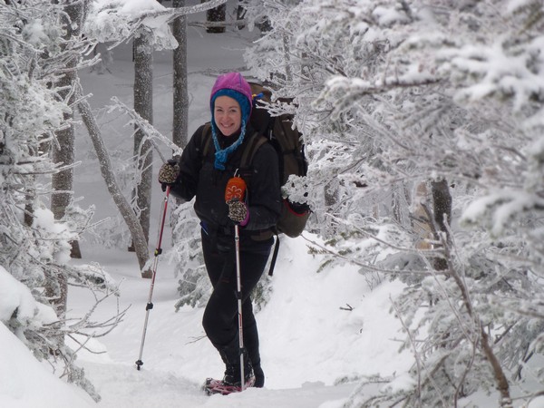
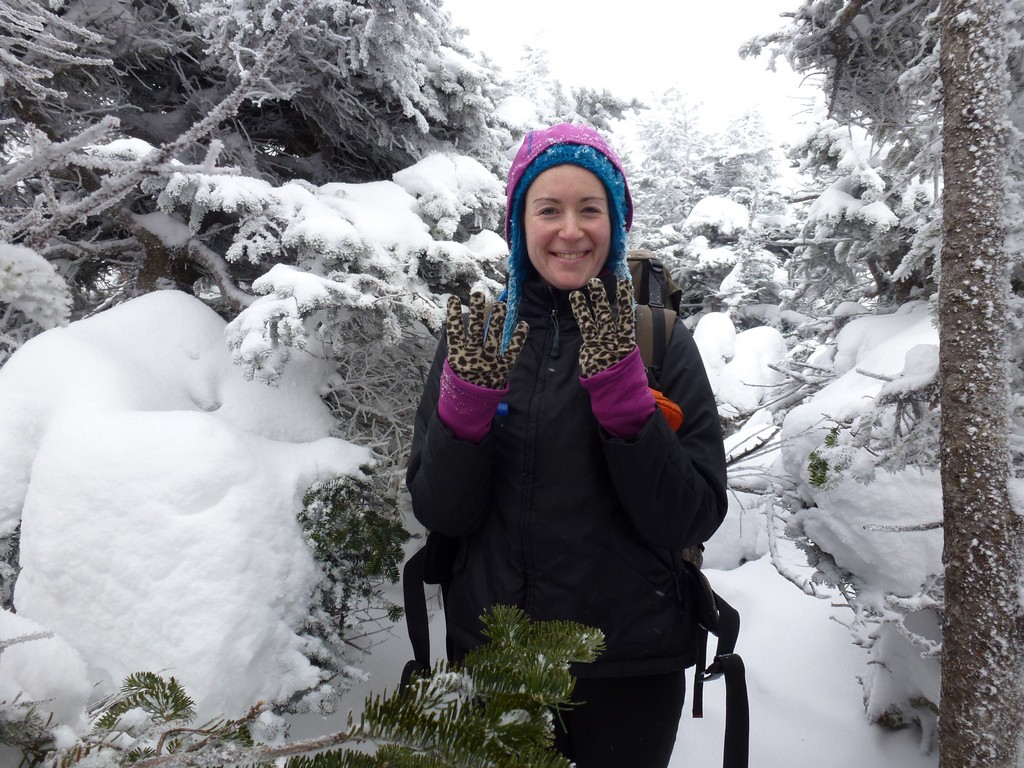
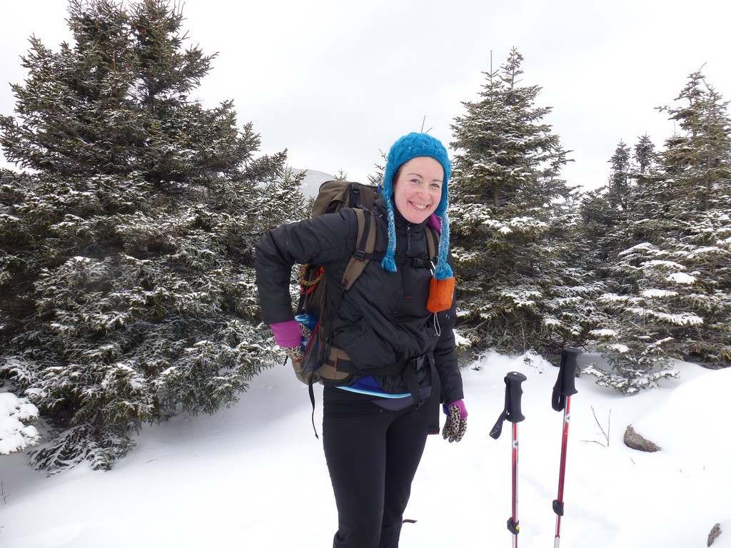
Just as we were approaching the summit of Mount Field again we noticed some Canada/gray jays sort of following us. I am sure it was the same group we encountered before and the little buggers were obviously still hungry and looking for hardouts. Katie got an energy bar of some sort out and started breaking pieces off to feed them. I normally do not condone this activity and would prefer to keep the wild animals wild but these birds are just too hard to resist.
|
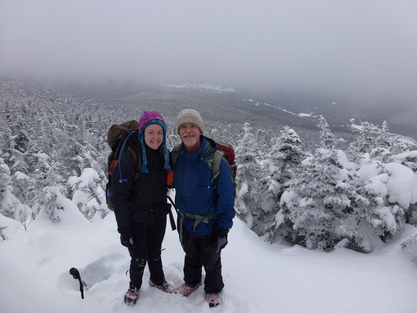
We stopped briefly again on top of Mount Field to take some more photos. The cloud deck had lifted considerably and the view were much better than when we had been there the first time.
|
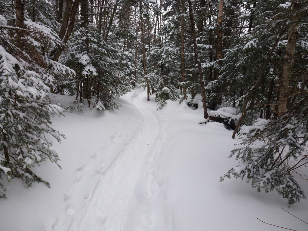
We quite literally almost flew down the Avalon Trail from there to Mount Avalon. The trail was quick and we had a lot of fun.
|
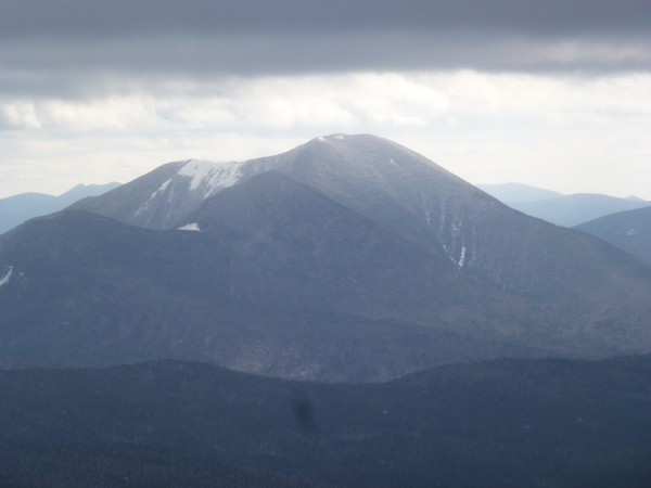
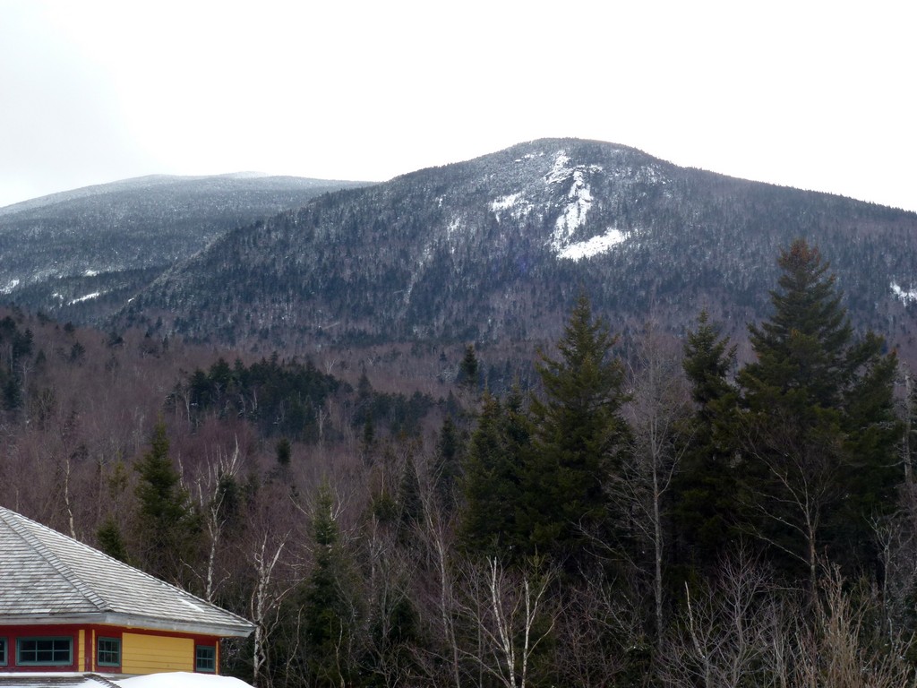
We were not on Mount Avalon very long either. There were come very nice views of Mount Field and Mount Tom from there as well as Crawford Notch and after taking some more photos we just continued our rapid descent towards Crawford Notch.
We ended up finishing the hike just a little before 3pm and made very good time considering we started almost an hour later than we wanted to. Our actual moving time was probably only about 5½ hours so our moving average was probably close to 2 miles per hour. I am sure it was a lot faster than that on the descent.
|
|
|
|---|
|
|---|


