|
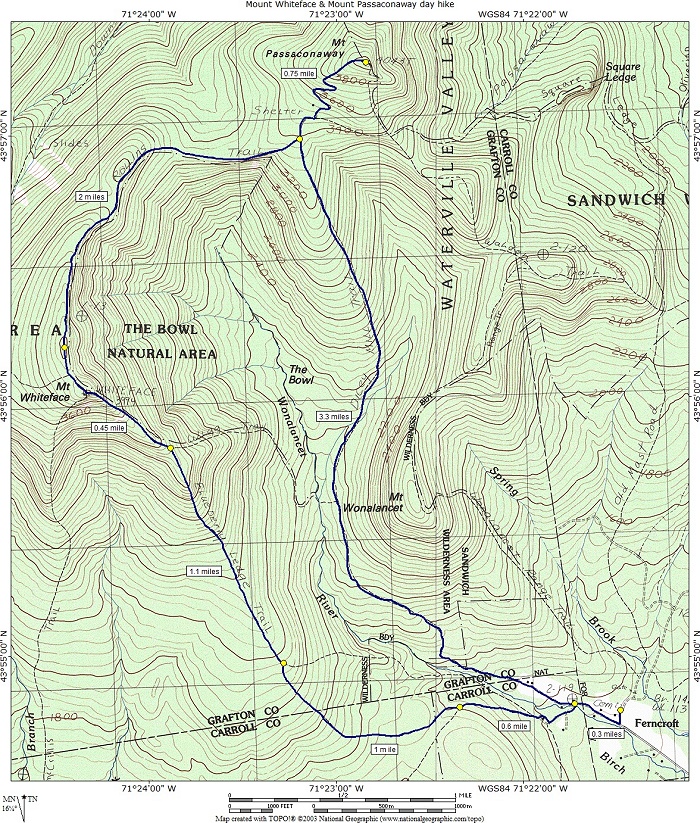
Mounts Whiteface & Passaconaway day hike |
|---|
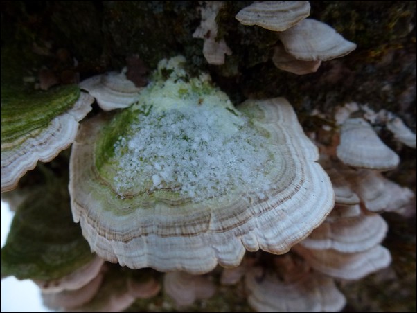
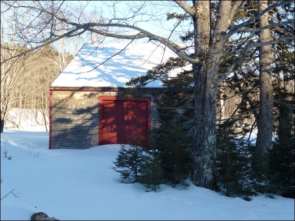
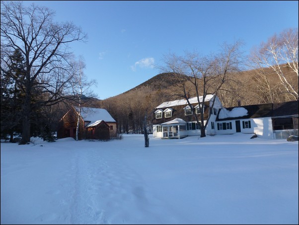
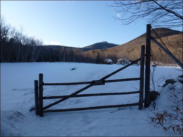
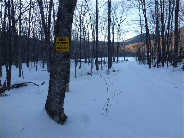
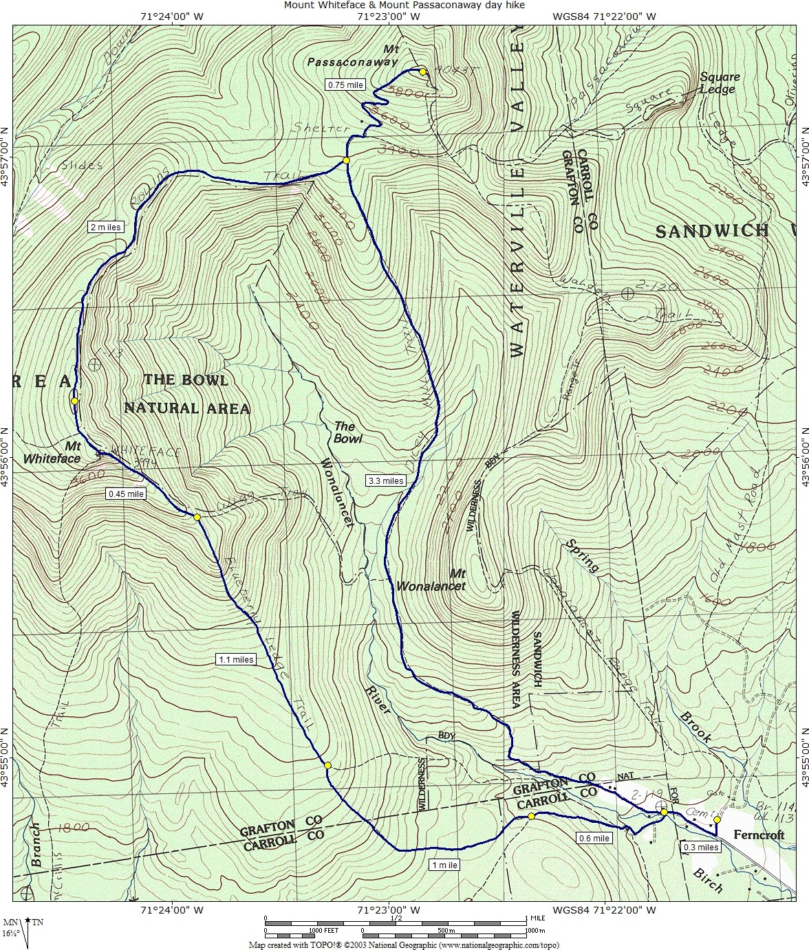
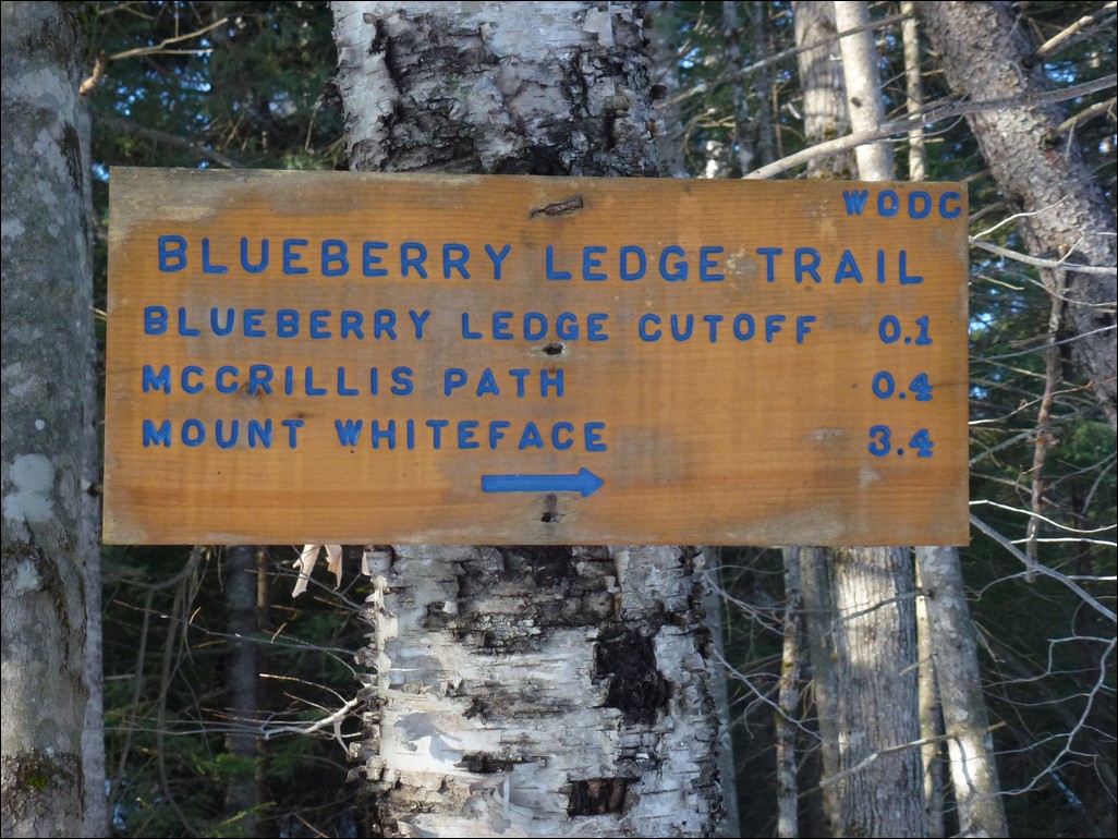
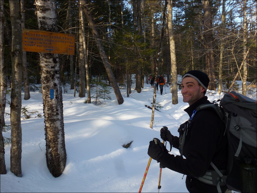
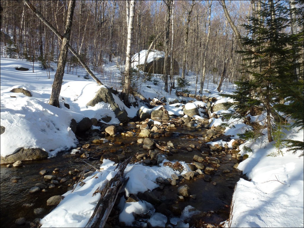
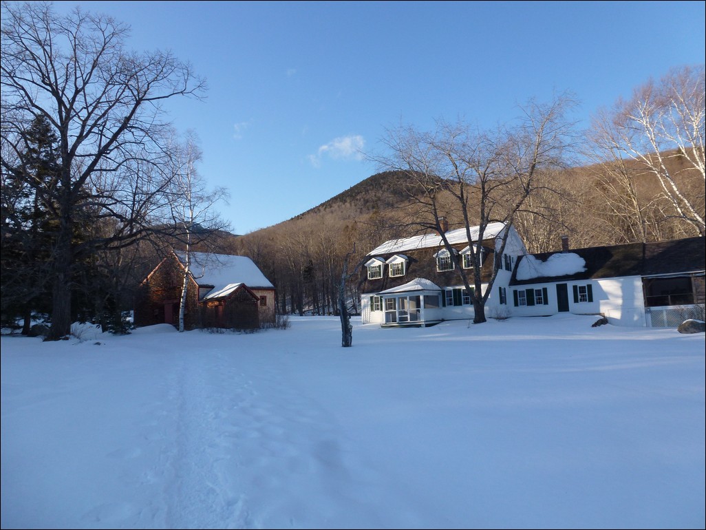
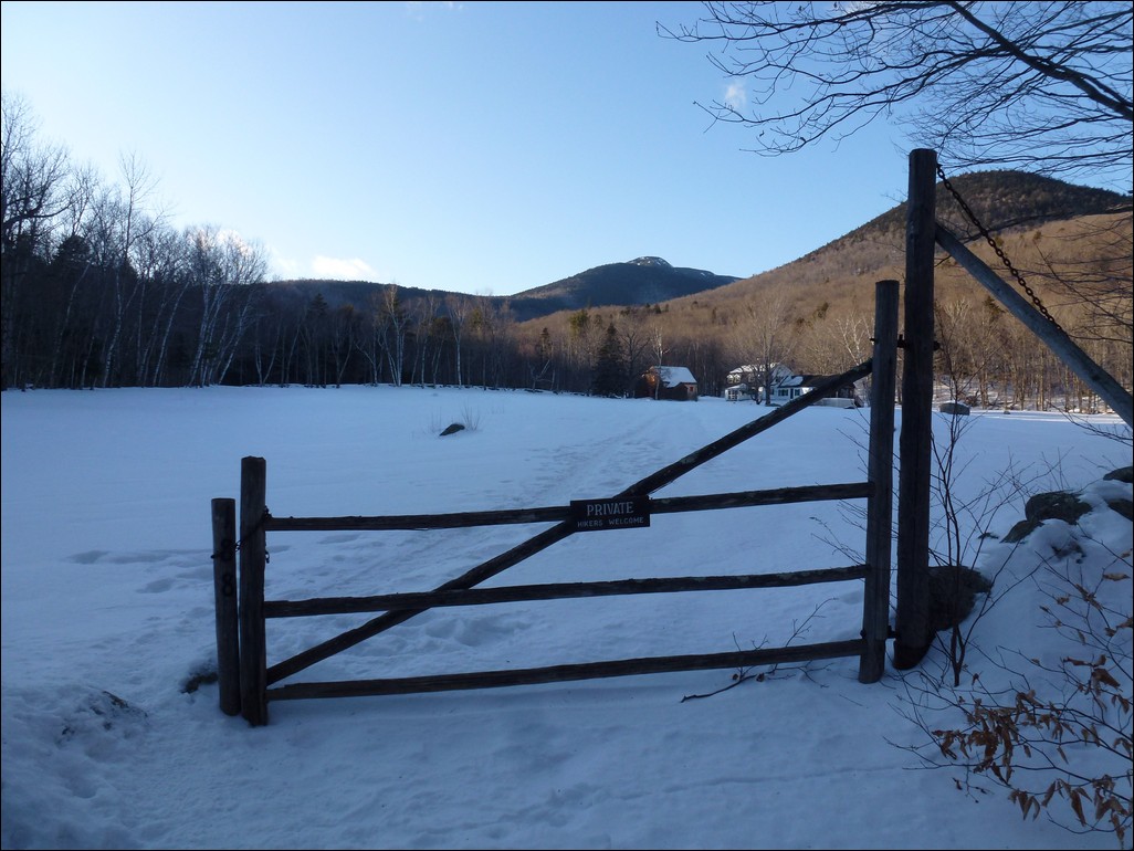
This day hike started at the parking area in Ferncroft next to the cemetary there. From there we hiked along the road and crossed the bridge over the Wonalancet River to the start of the Blueberry Ledge Trail. We followed that trail all the way to the top of Mount Whiteface where we picked up the Rollins Trail and followed that across the ridge to Mount Passaconaway. We returned to Ferncroft by way of the Dicey's Mill Trail.
|
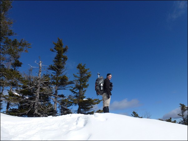
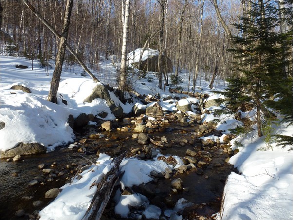
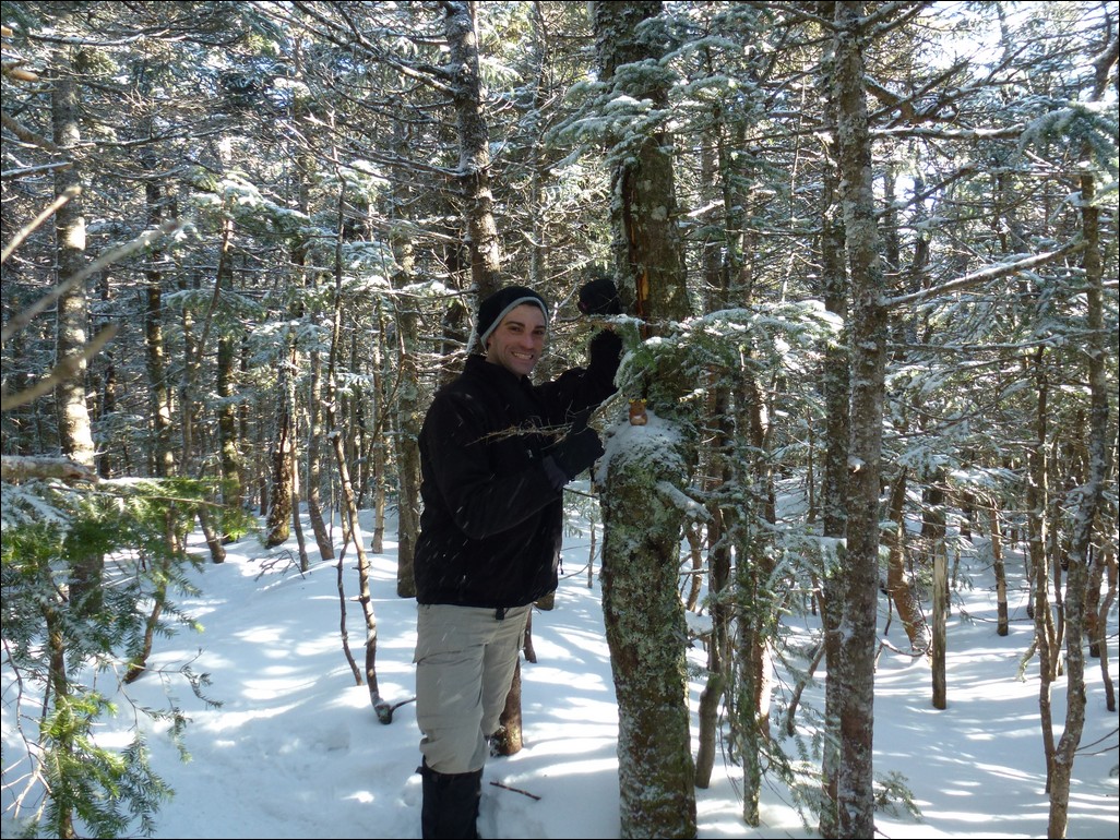
This hike would give me winter 4000-footer summits numbers 4 and 5. We had a beautiful day for this one with sunny skies and temperatures in the upper teens and low 20s for most of it. Starting at the Ferncroft parking area we went northwest on Ferncroft Road to the bridge across the river.
|
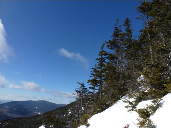
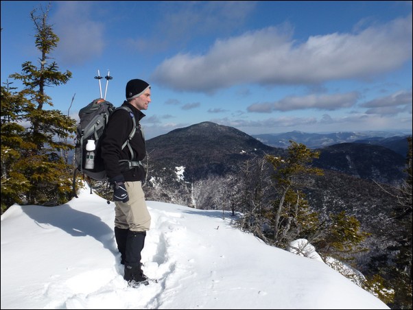
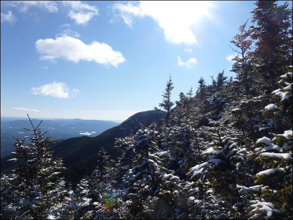
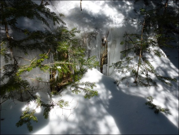
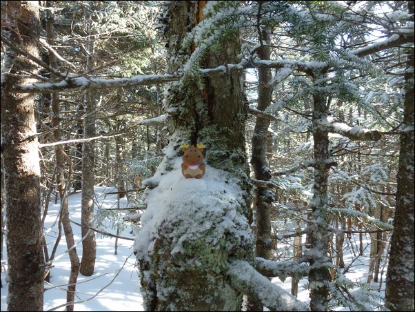
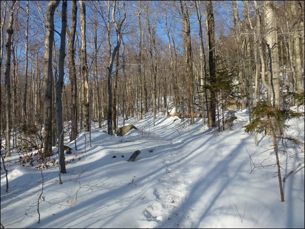
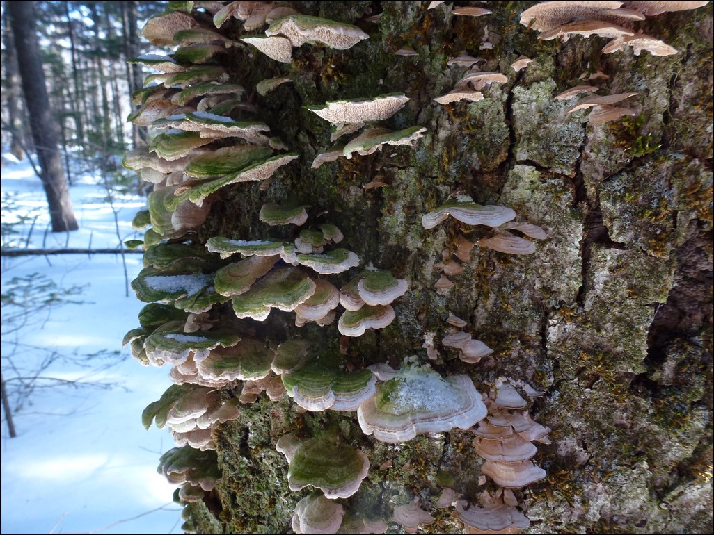
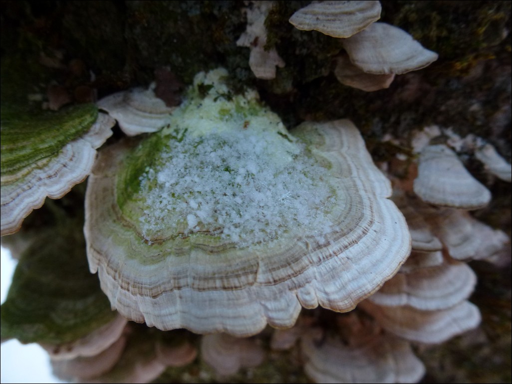
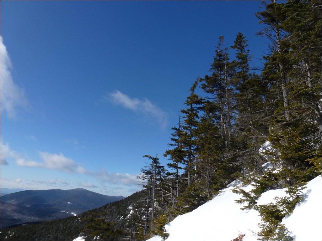
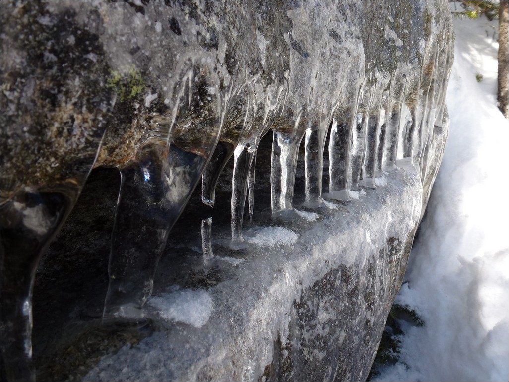
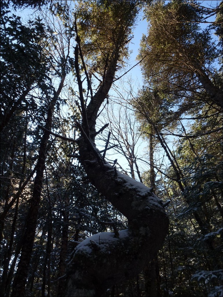
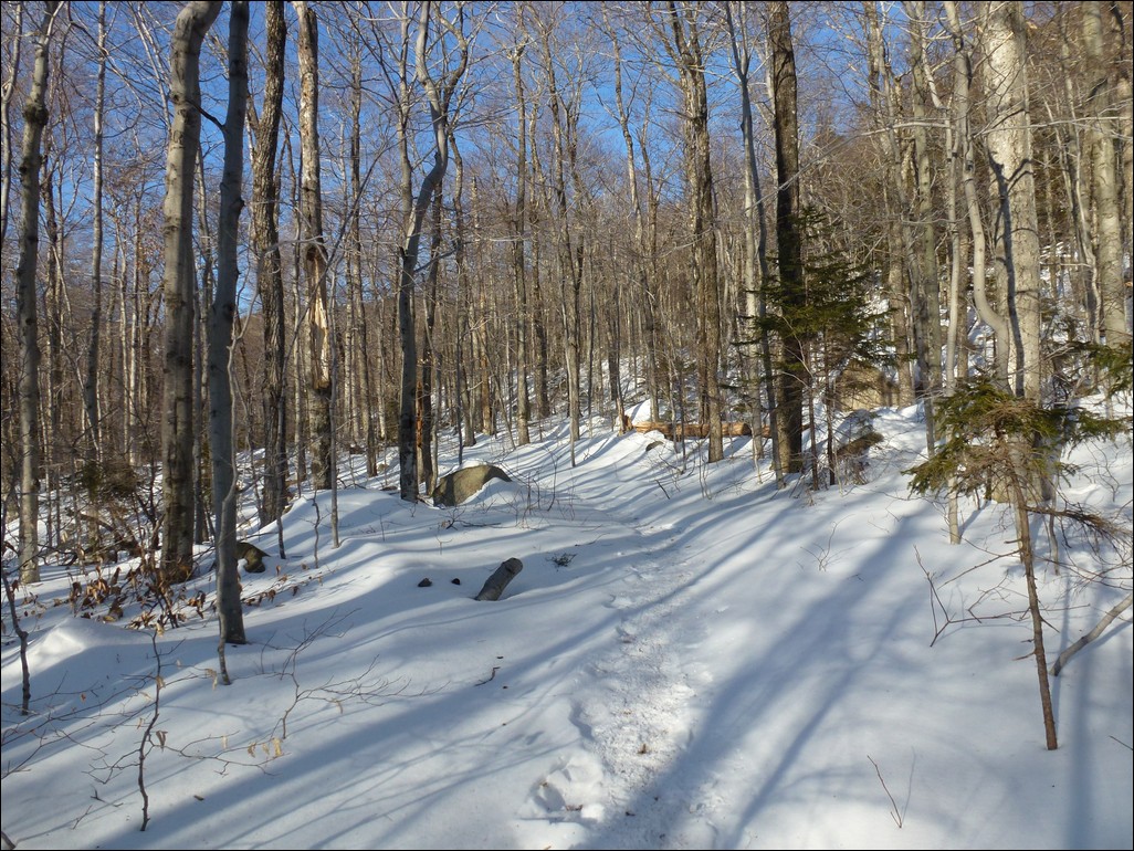
The hike up the Blueberry Ledge Trail was pretty easy going and we had some fabulous views of the surrounding area from the ledges higher up. There was snow on the trail and some ice on the legdes but the trail had been well traveled and was nicely broken. We had snowshoes with us but left them in the car and did fine with just microspikes.
|
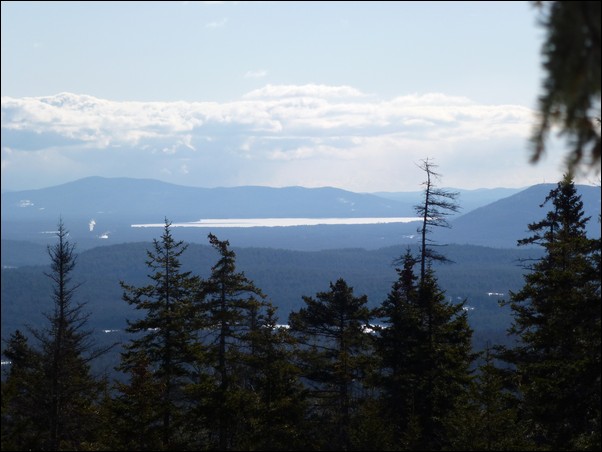
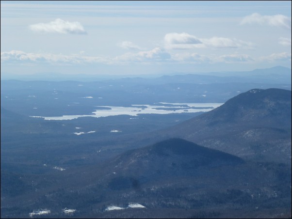
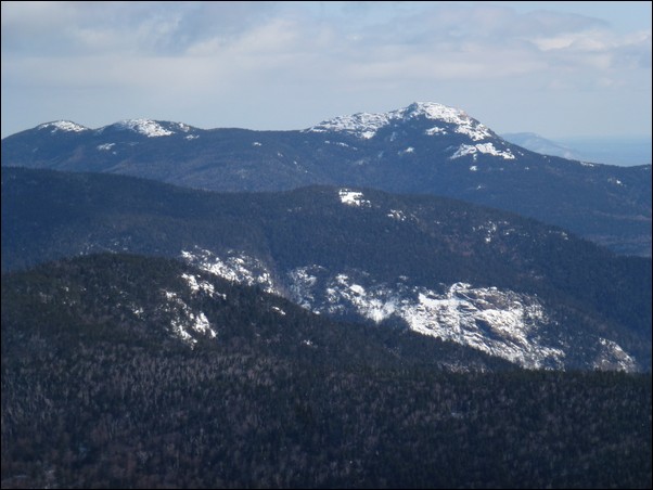
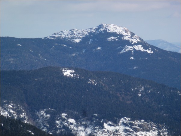
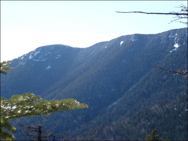
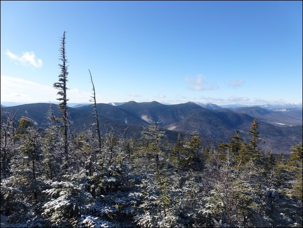
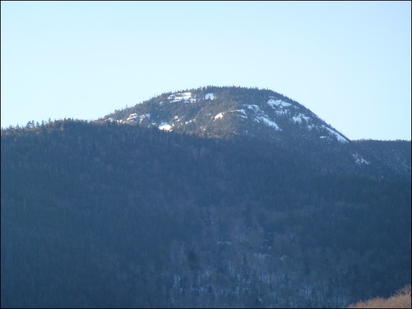
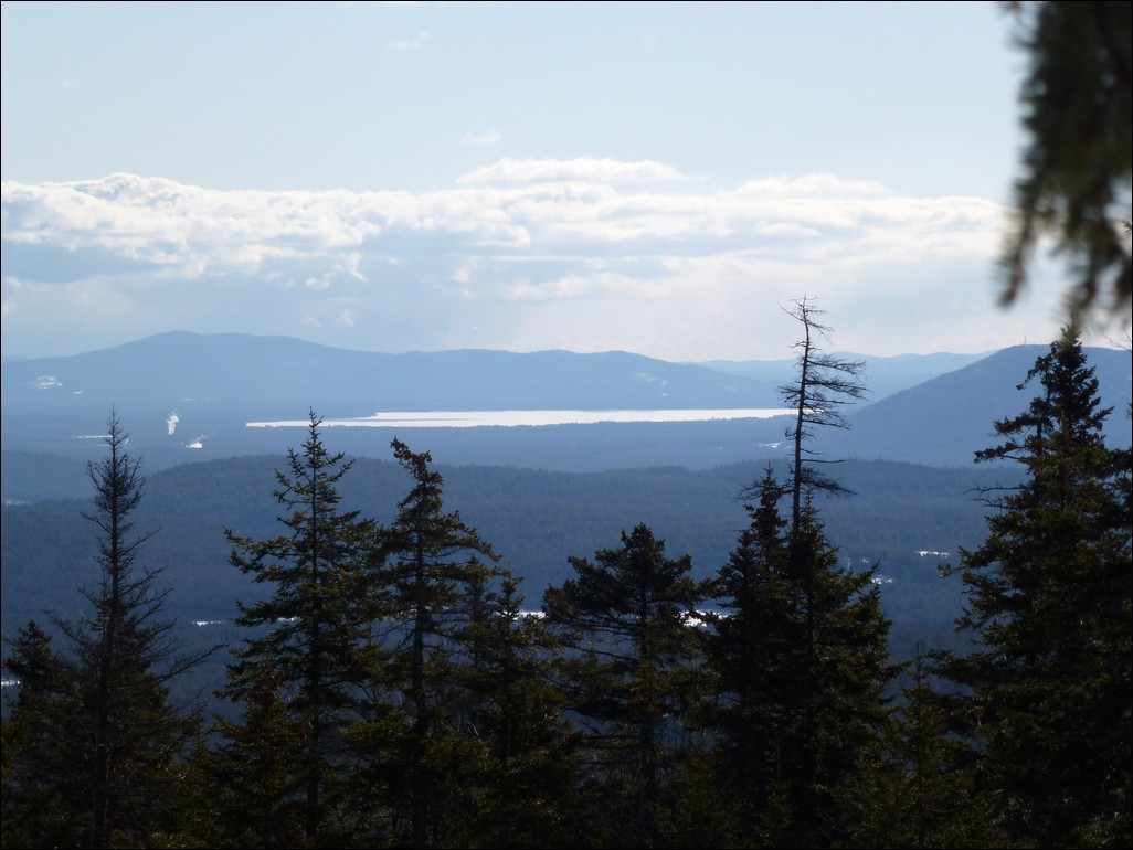
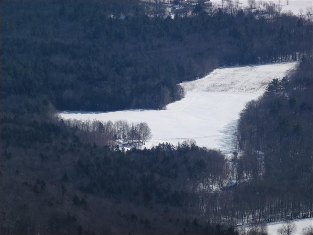
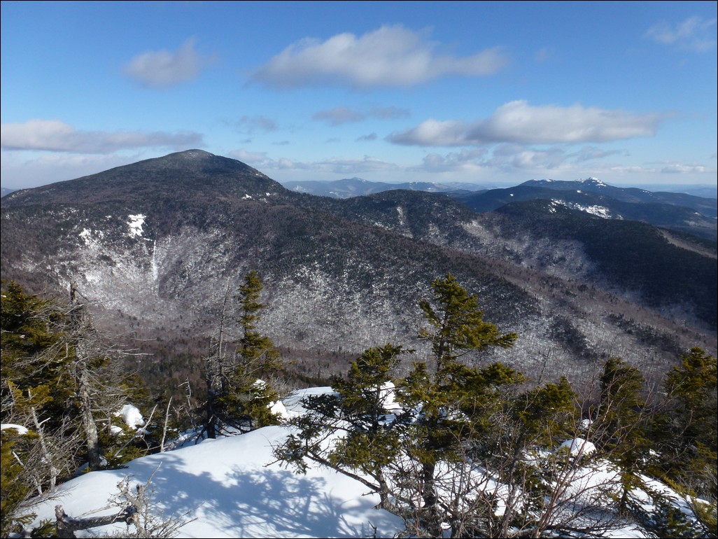
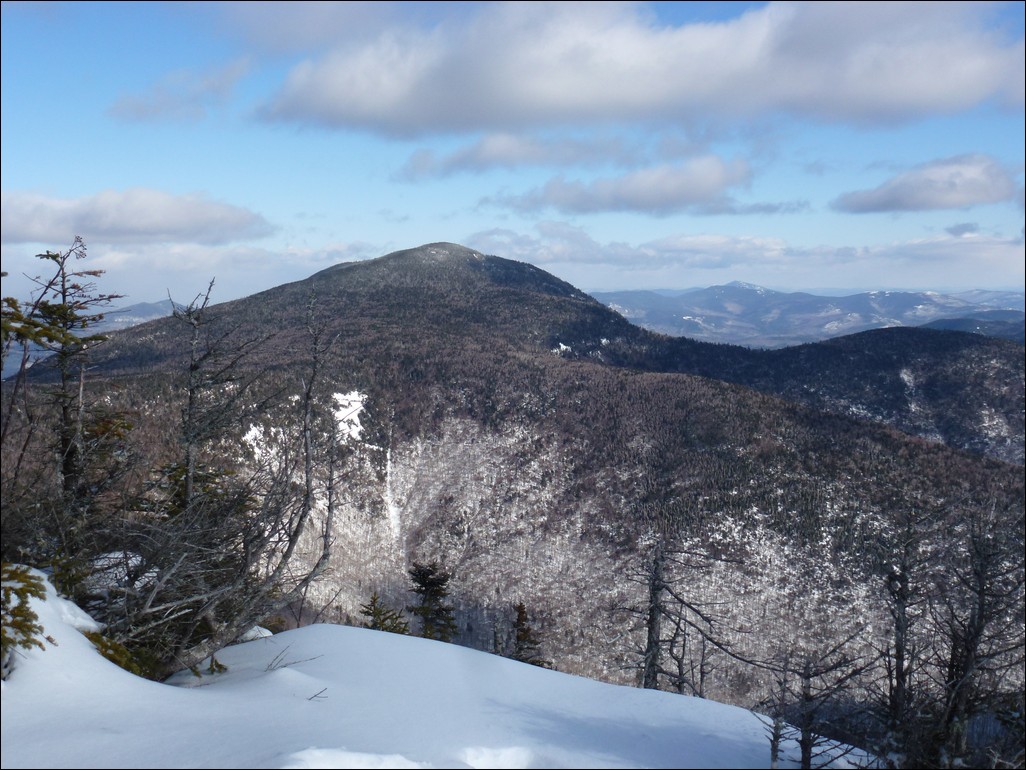
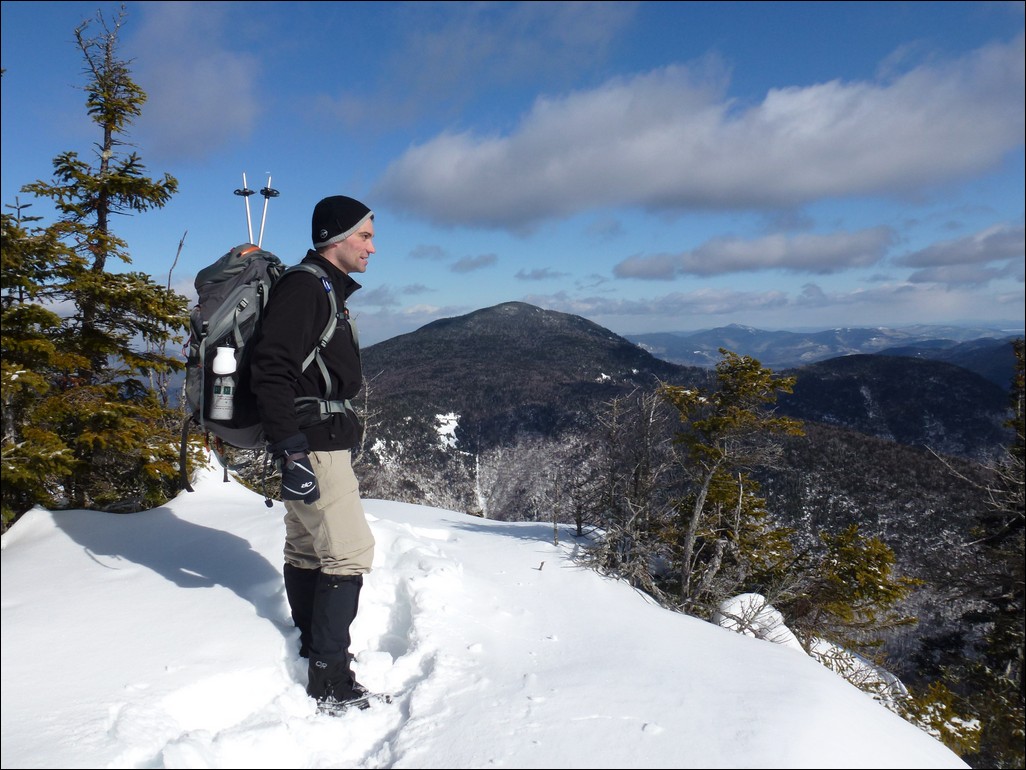
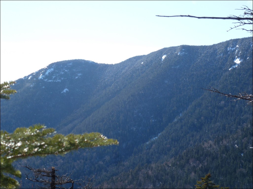
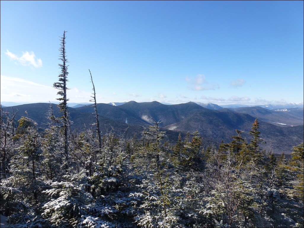
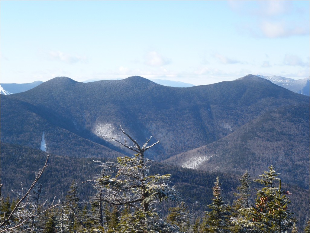
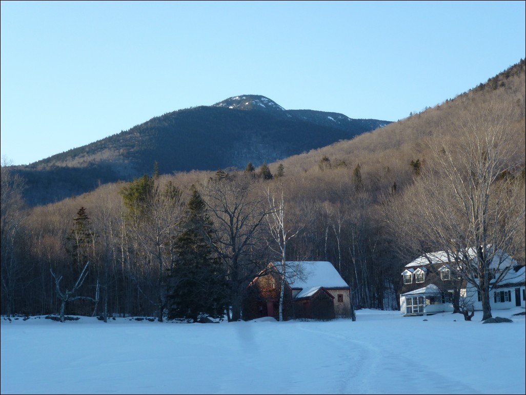
The higher up we got the better the views became. From the higher ledges we had aweome views of Squam Lake and even Lake Winnepesauke way off in the distance. We also had some very nice views of Mount Passaconaway as well as Mount Chocorua and the Three Sisters.
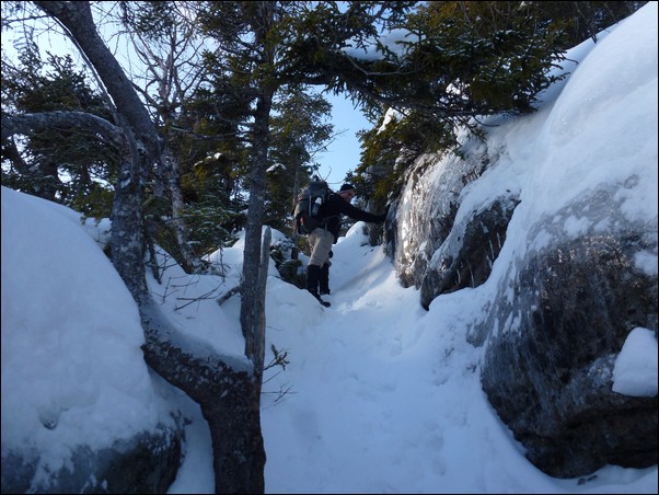
The was one really steep ledge close to the top that I remembered from hiking in the summer and I was very curious as to what that was going to look like in the winter and hoping it would be possible to stay far away from the edge. The view from there was awesome.
|
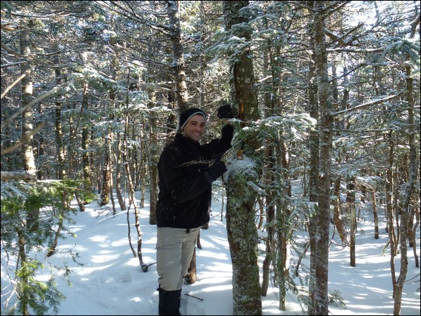
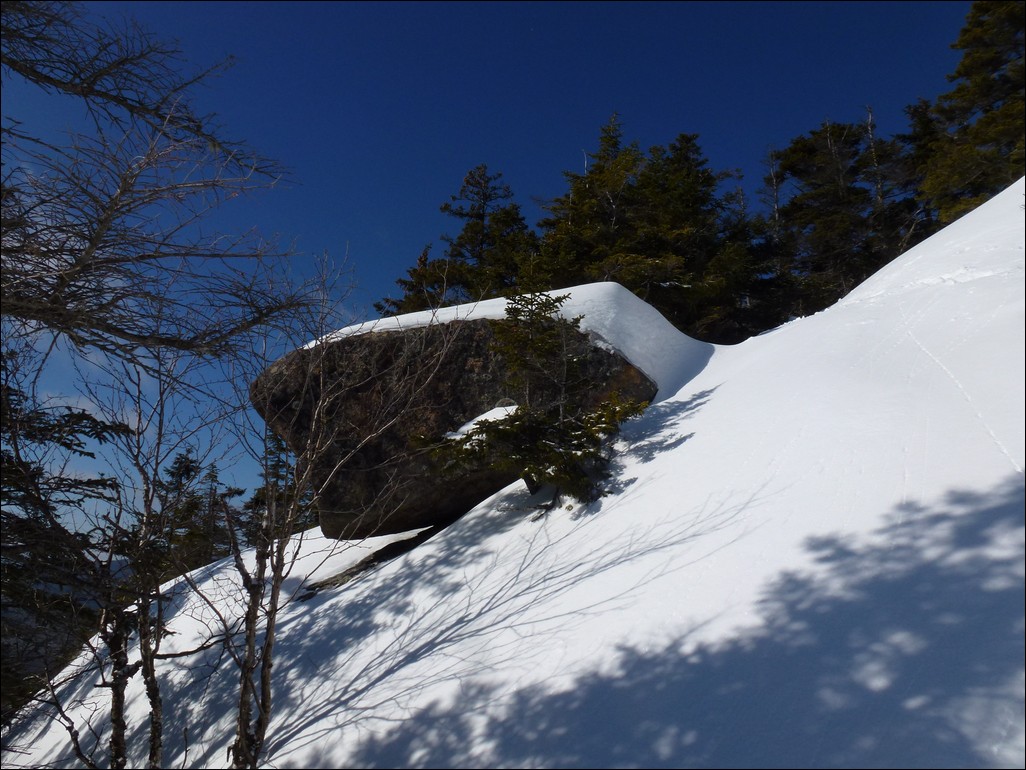
The ledges close to the top of Whiteface had a couple of interesting climbs that we had to think about a little but nothing too difficult.
|
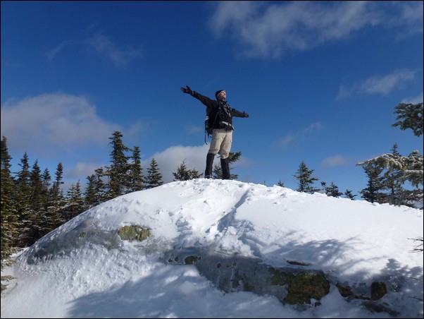
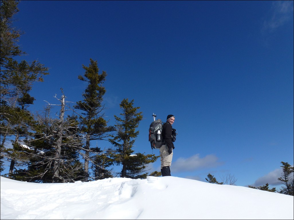
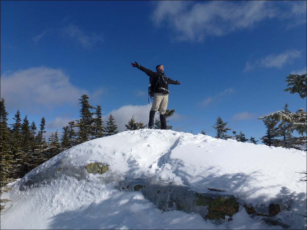
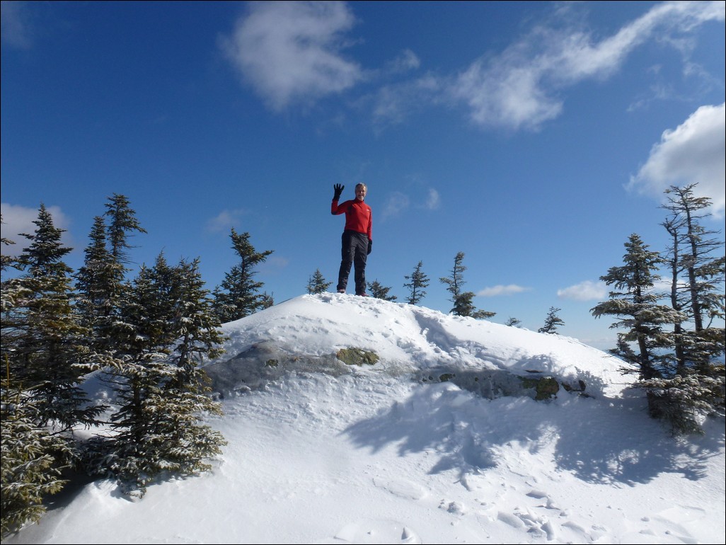
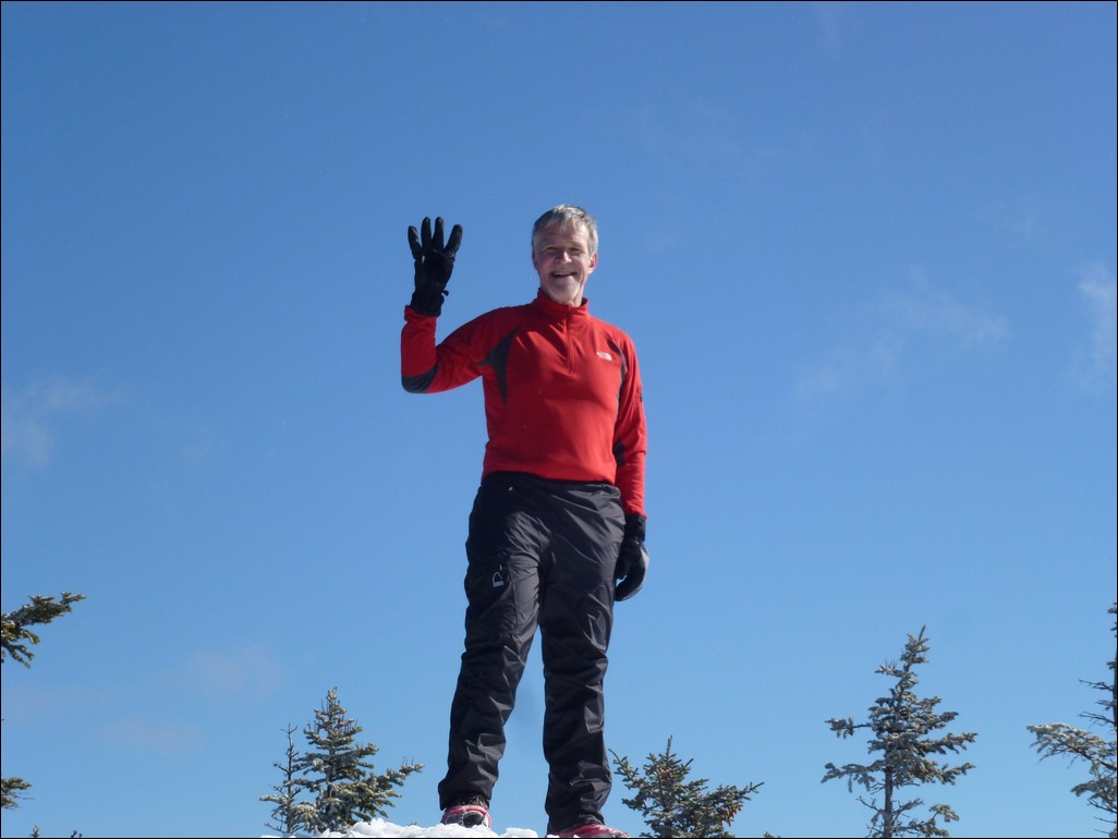
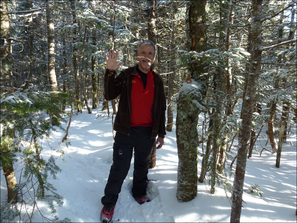
It took about 3 hours to reach the summit of Whiteface and we arrived there a little after 11:30. We spent a while up there taking photos and I also ate my peanut butter and blueberry preserves sandwich for lunch. Tom's thermometer was telling us that the temperature was only in the teens but it felt a lot warmer than that in the sunshine. After 15 minutes or so on top we started down the Rollins Trail and across the ridge to Mount Passaconaway.
|
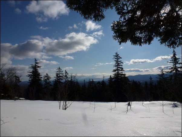
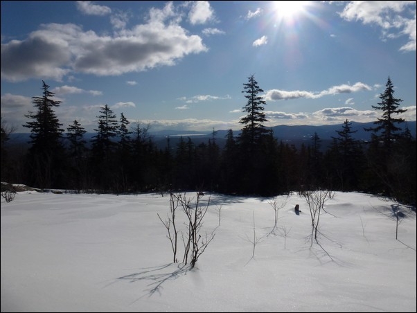
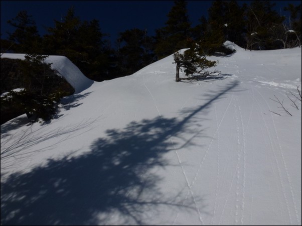
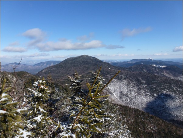
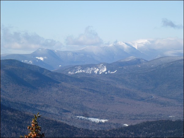
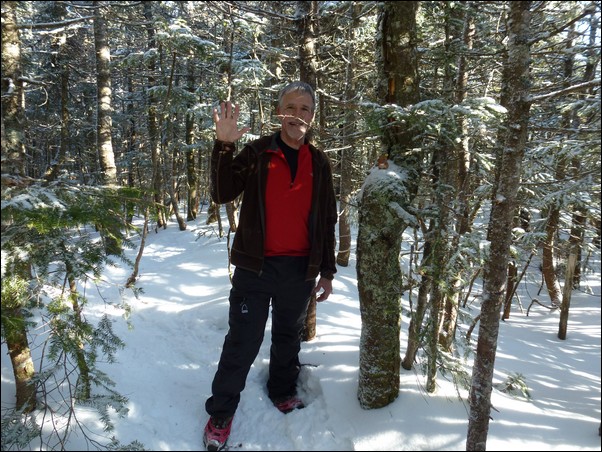
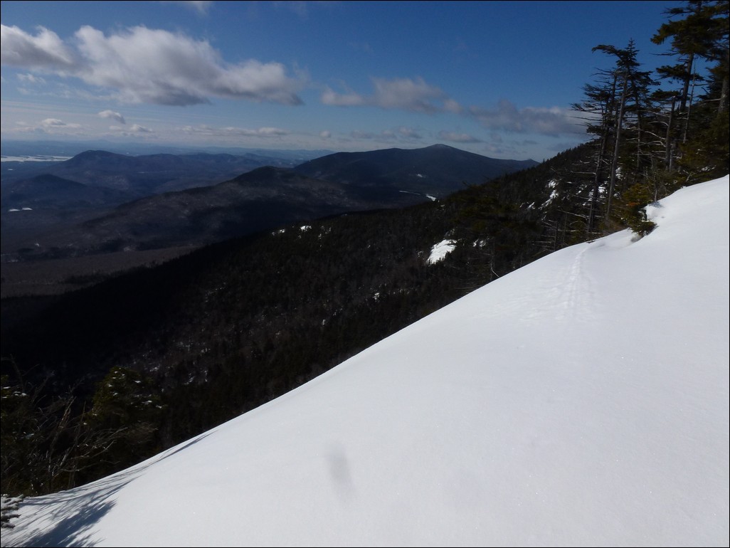
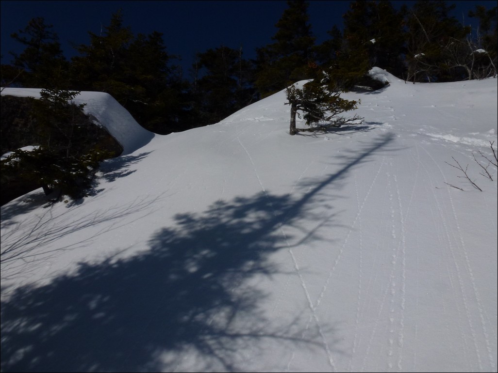
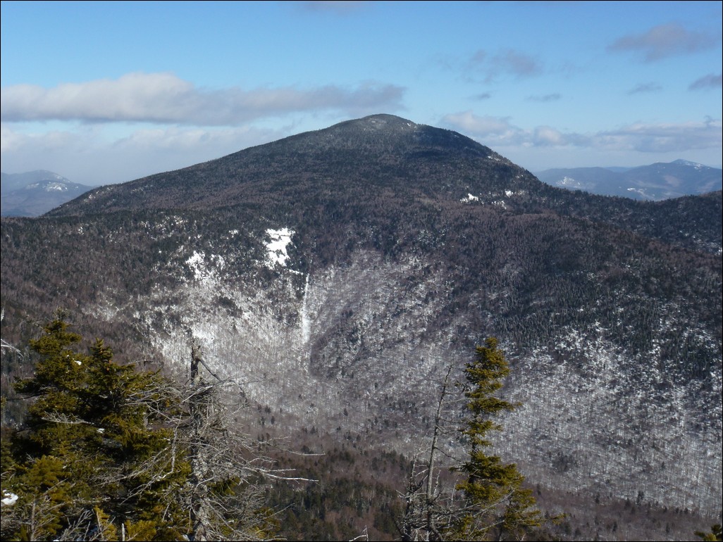
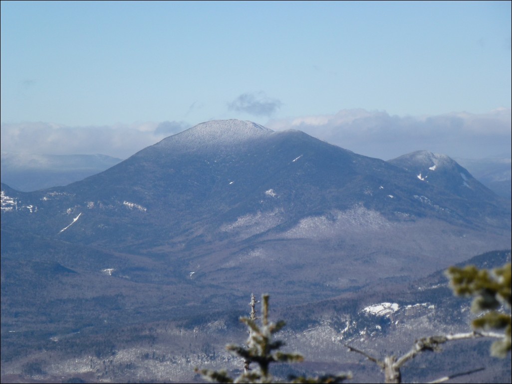
The hike along the ridge on the Rollins Trail was quite pleasant and it took less than 2 hours to get to Passaconaway. It didn't really feel cold at all and we had some awesome views looking back at Mount Whiteface and ahead to Mount Passaconaway from breaks in the trees along the ridge.
|
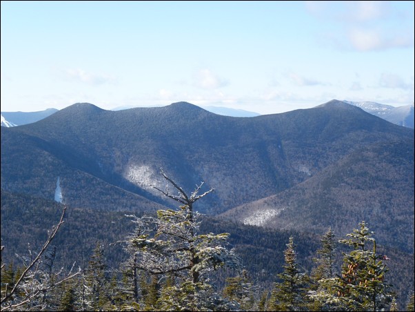
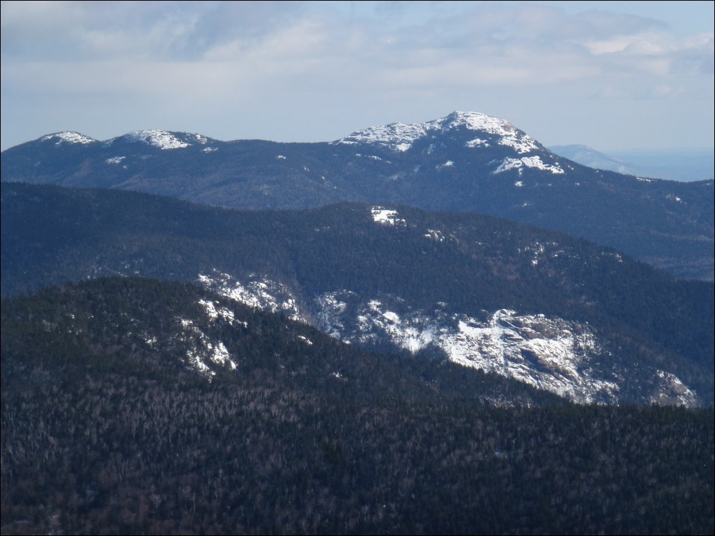
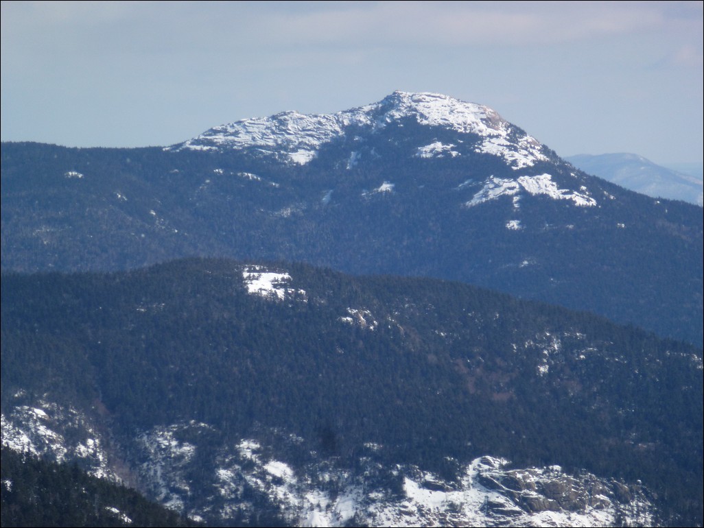
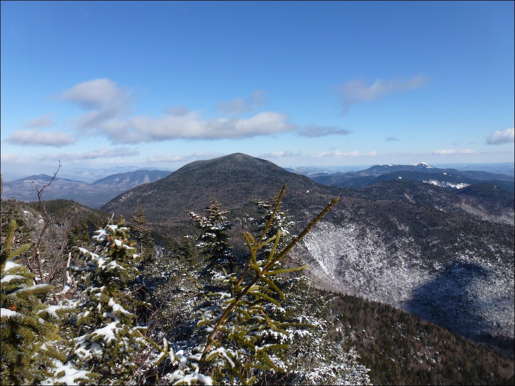
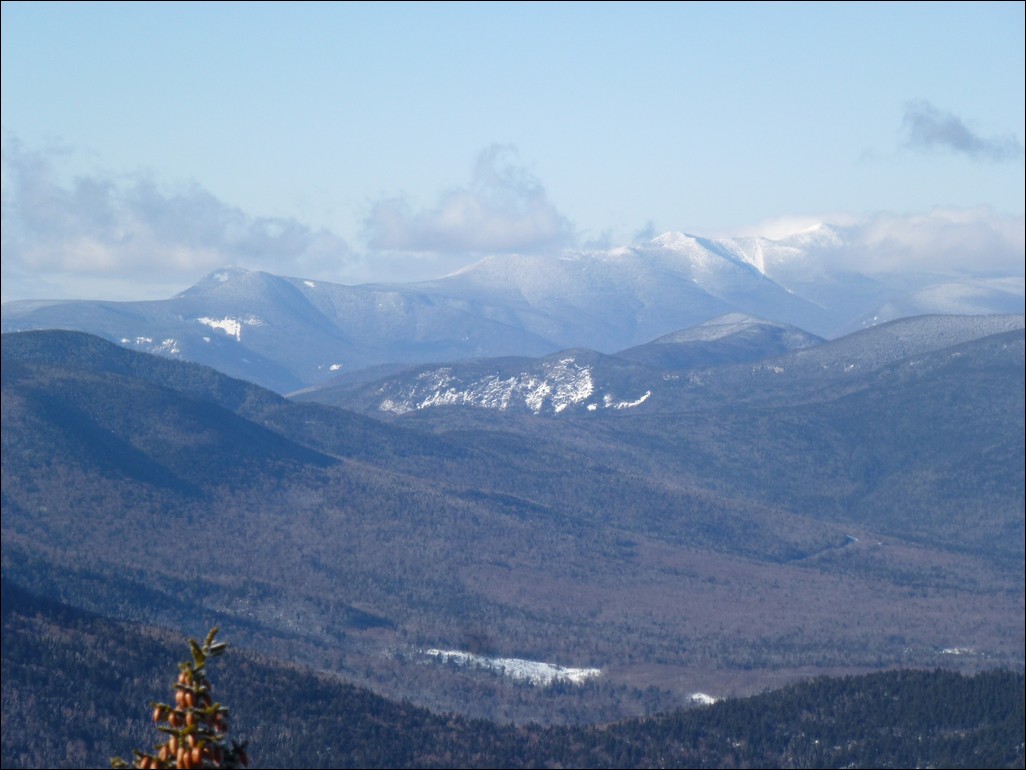
We had an awesome view to the north from a nice ledge near the top of Mount Passaconaway. It was very easy to make out Mount Tripyramid as well as Hancock Notch.
|
The top of Mount Passaconaway was a bust with no views at all. That's pretty much what I expected from last time though. Still a peak is a peak and this was winter peak #5 for me.
I was very disappointed that the summit marker that had been attached to a tree right at the summit was gone.
|
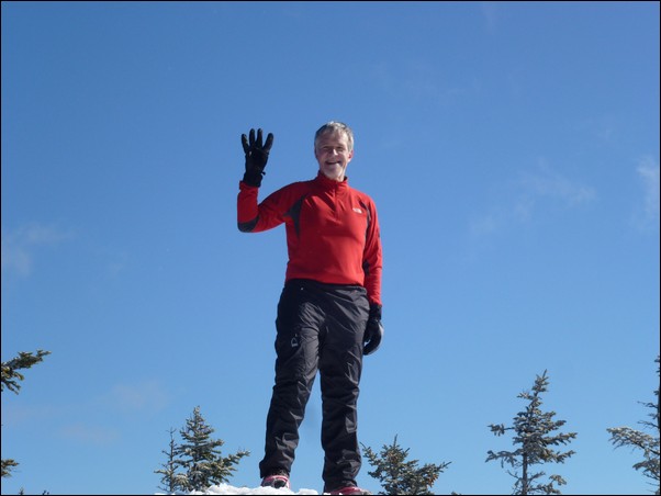
We met some other hikers on the top of Mount Passaconaway and stopped there for a while to talk to them. That was the only time during the day that I actually felt cold. I think the big problem was with all of the trees there was not a heck of a lot of sun up there. I was very glad when we finally started moving again as my hands felt like they were frozen and it took about 15 minutes of fast, down hill hiking before they finally started to warm up.
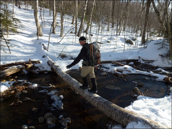
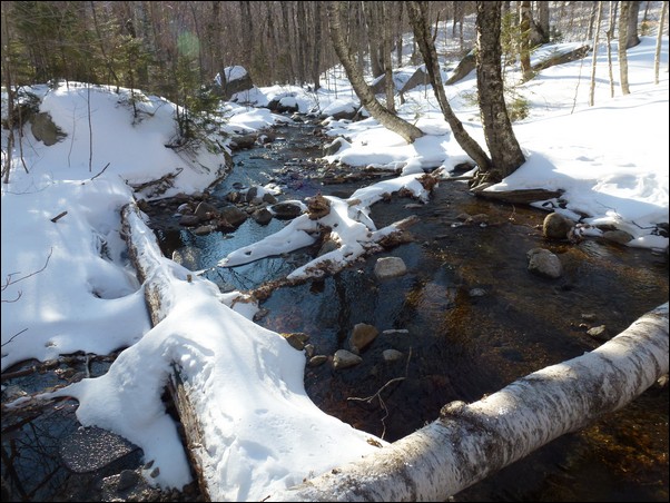
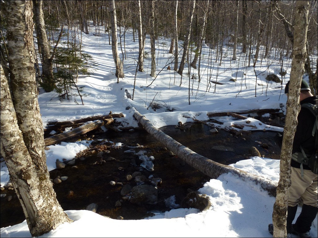
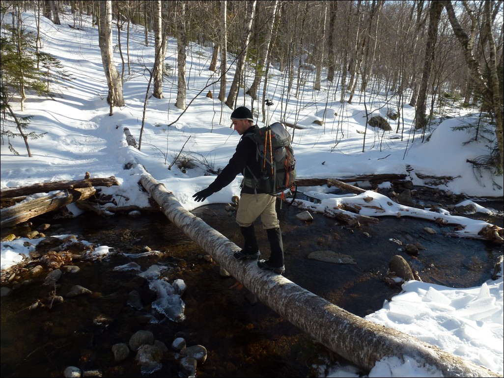
We had left our packs at the junction of the Dicey's Mill and Rollins Trails and did the final stretch to the summit without them. It made the going up and back down a lot easier. We made really good time going down the Dicey's Mill Trail and arrived back at the parking area right around 4pm. Most of the elevation change was in the first mile coming down the trail and after that it was a very pleasant hike along the Wonalancet River. There was one crossing of the river that was assisted by a very large fallen tree.
|
|
|
|---|
|
|---|


