|
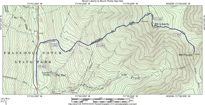
Mounts Liberty & Flume day hike |
|---|
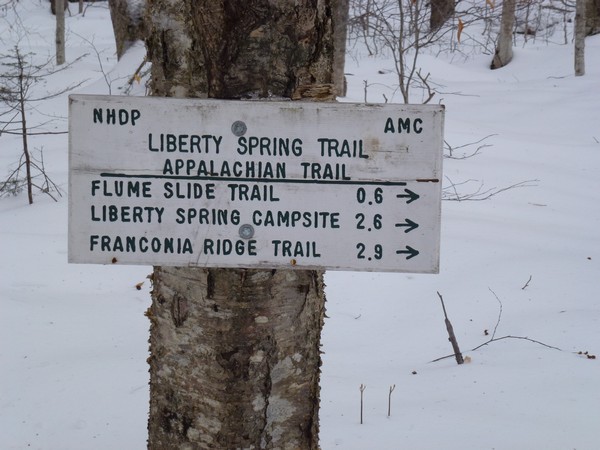
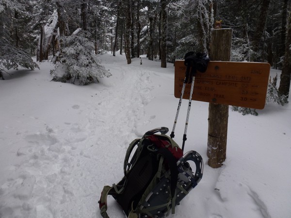
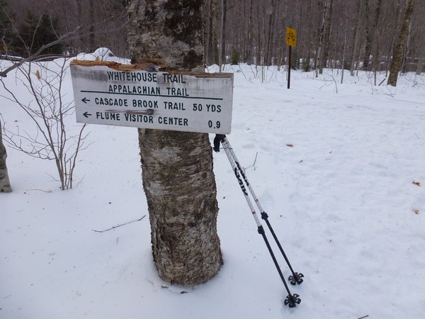
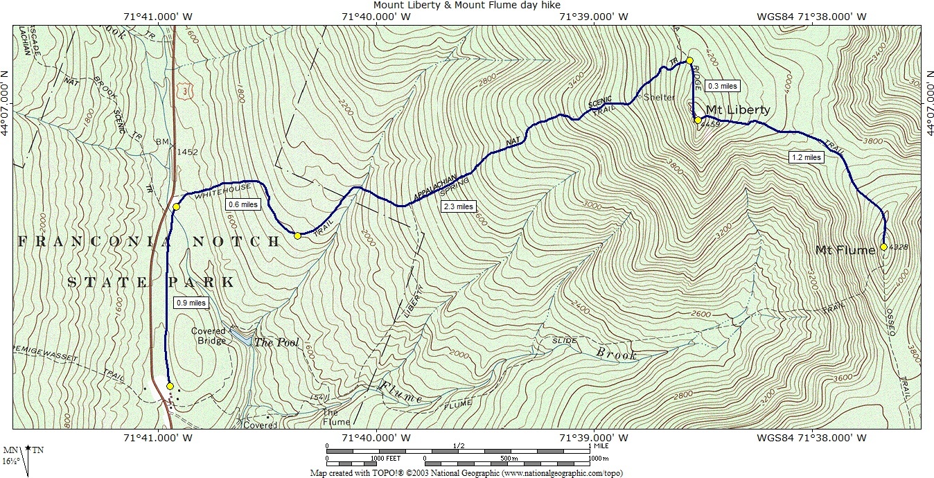
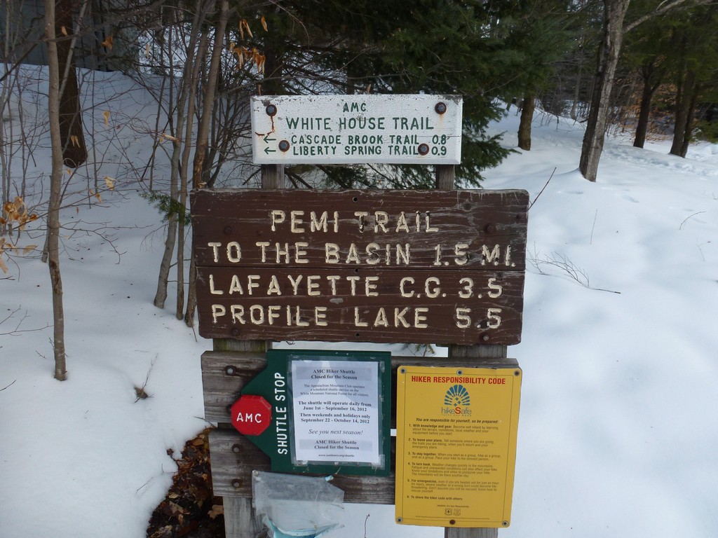
The starting point for this hike was the parking area for the Whitehouse and Liberty Springs Trails, which is just north of the parking area for the Flume Visitors Center. Look for a sign that says "Liberty Springs". You can also park at the Flume Visitor Center and take the bicycle path to where the Liberty Springs Trail starts but this will add a little distance.
|
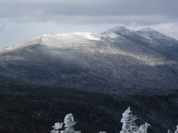
The purpose of this hike was to bag winter 4000-footer peaks #2 and #3.
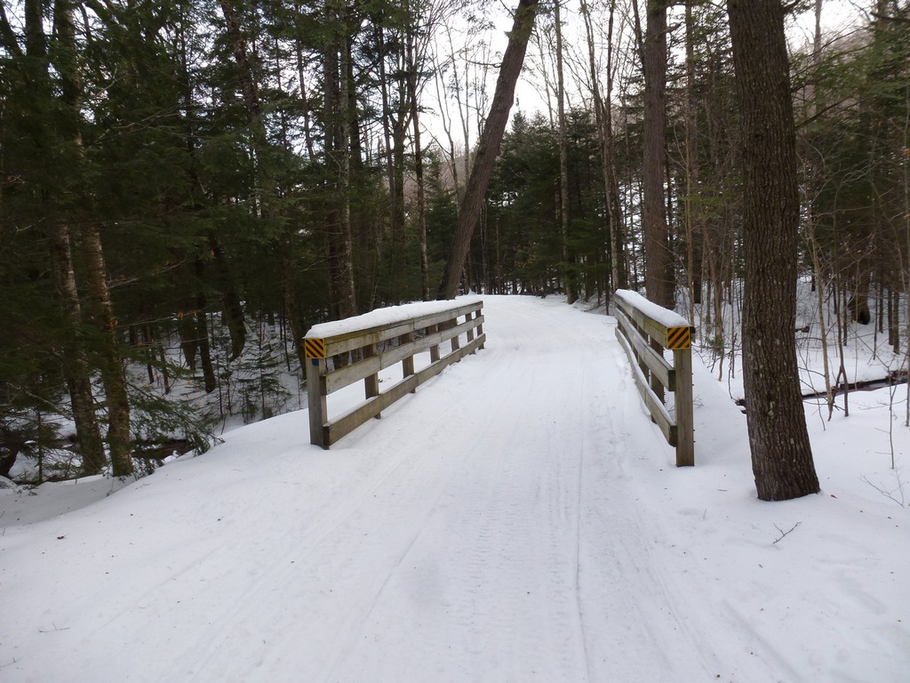
The trail was not obvious at all from the parking area when covered with snow and I had to climb over the snow bank that bordered the parking area to get to it. After wandering through the forest for a short distance the trail joined up with the Pemi Trail which since it was being used a lot for snow mobiles was lilke a highway.
|
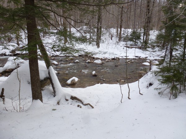
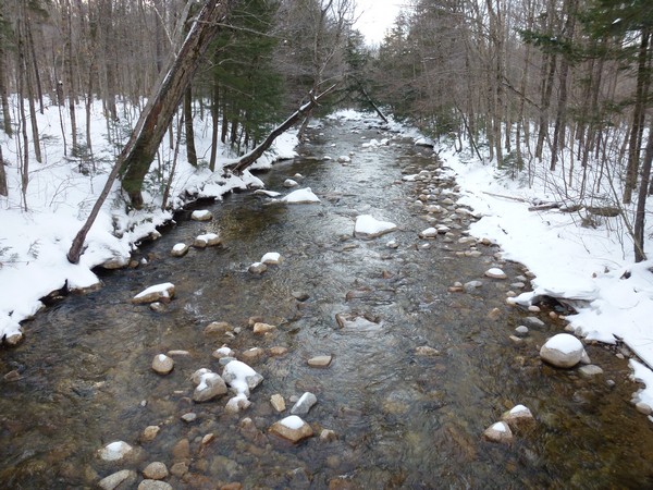
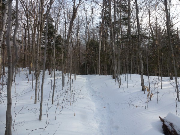
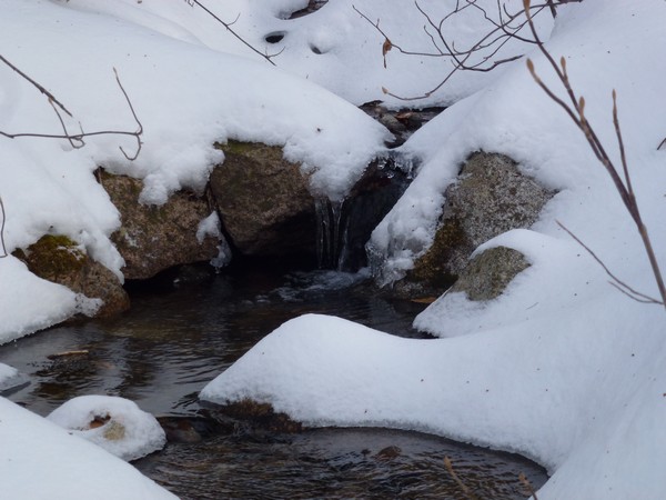
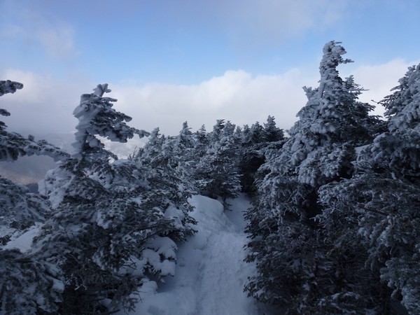
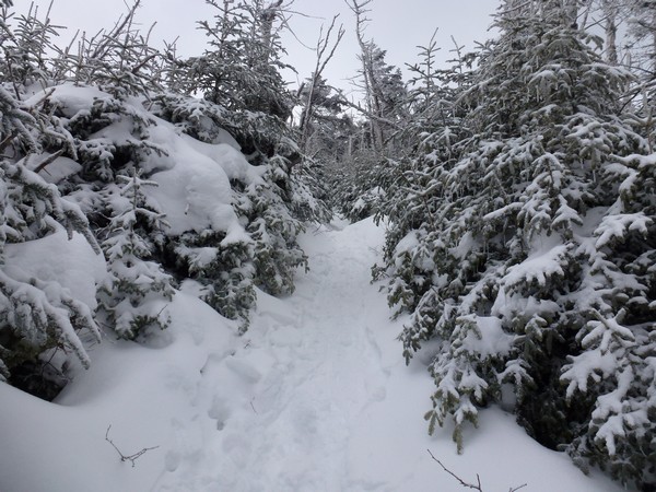
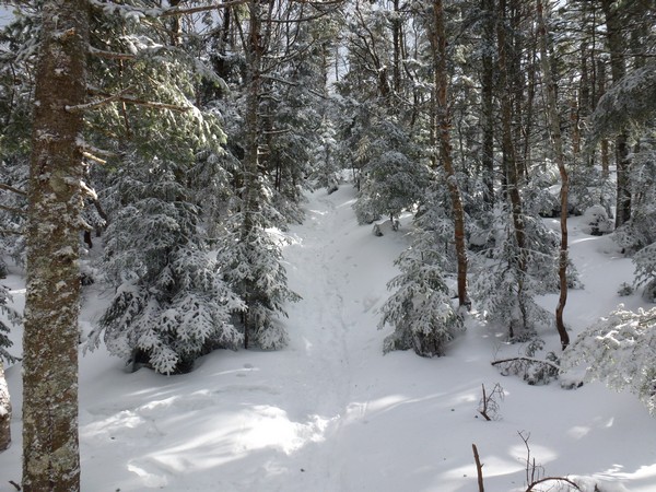
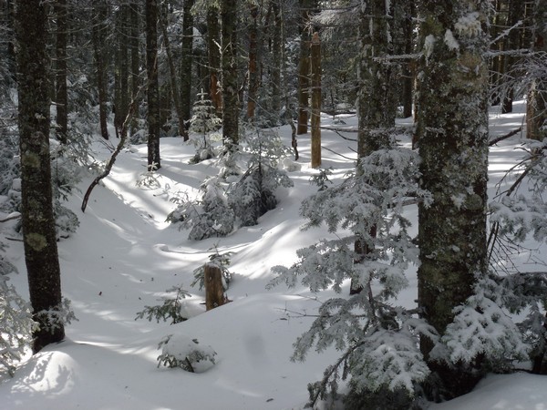
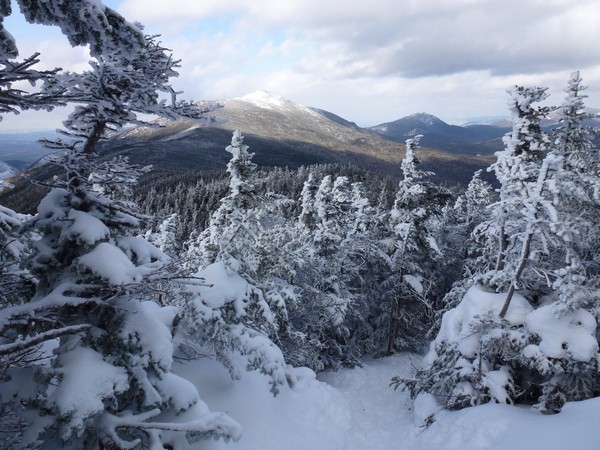
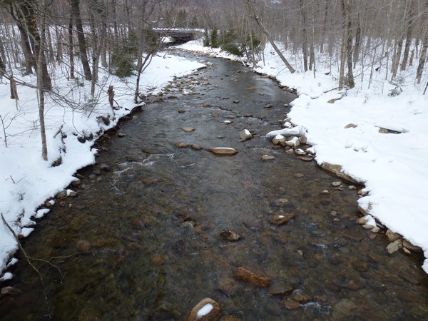
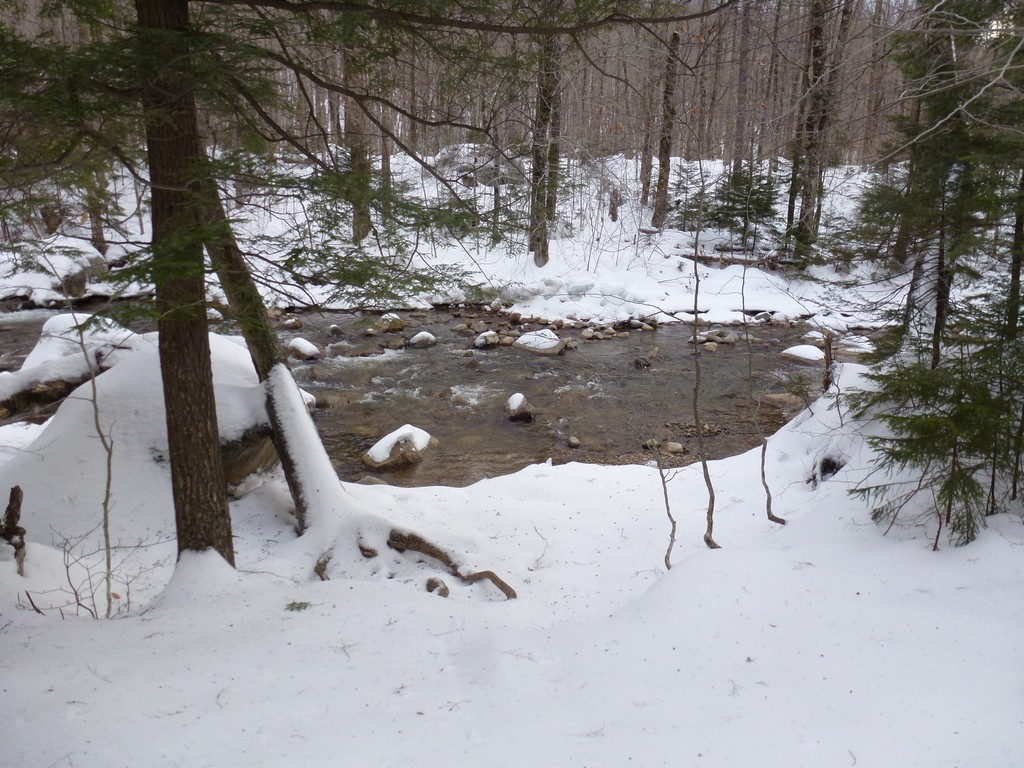
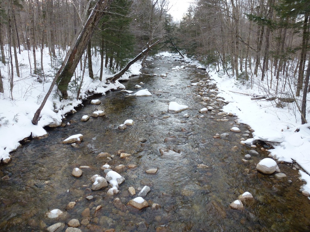
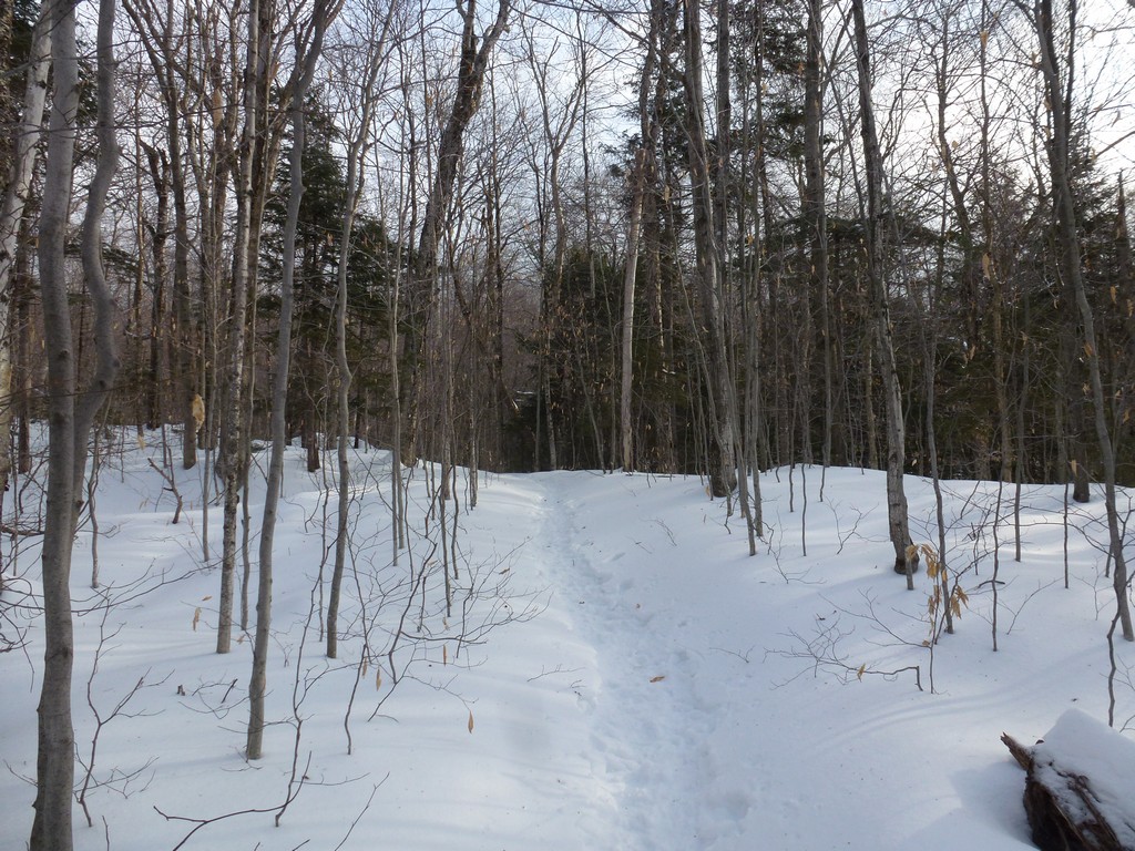
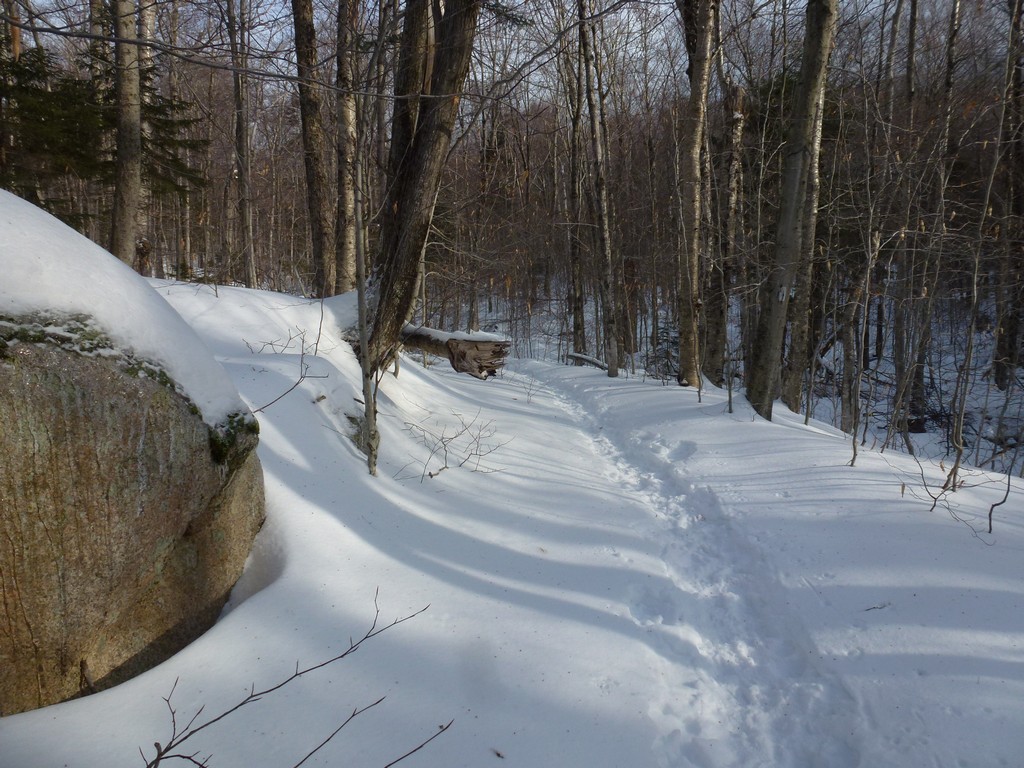
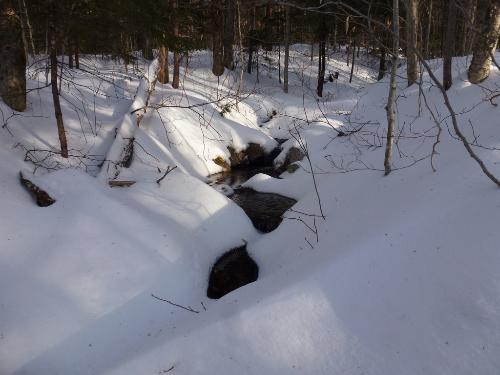
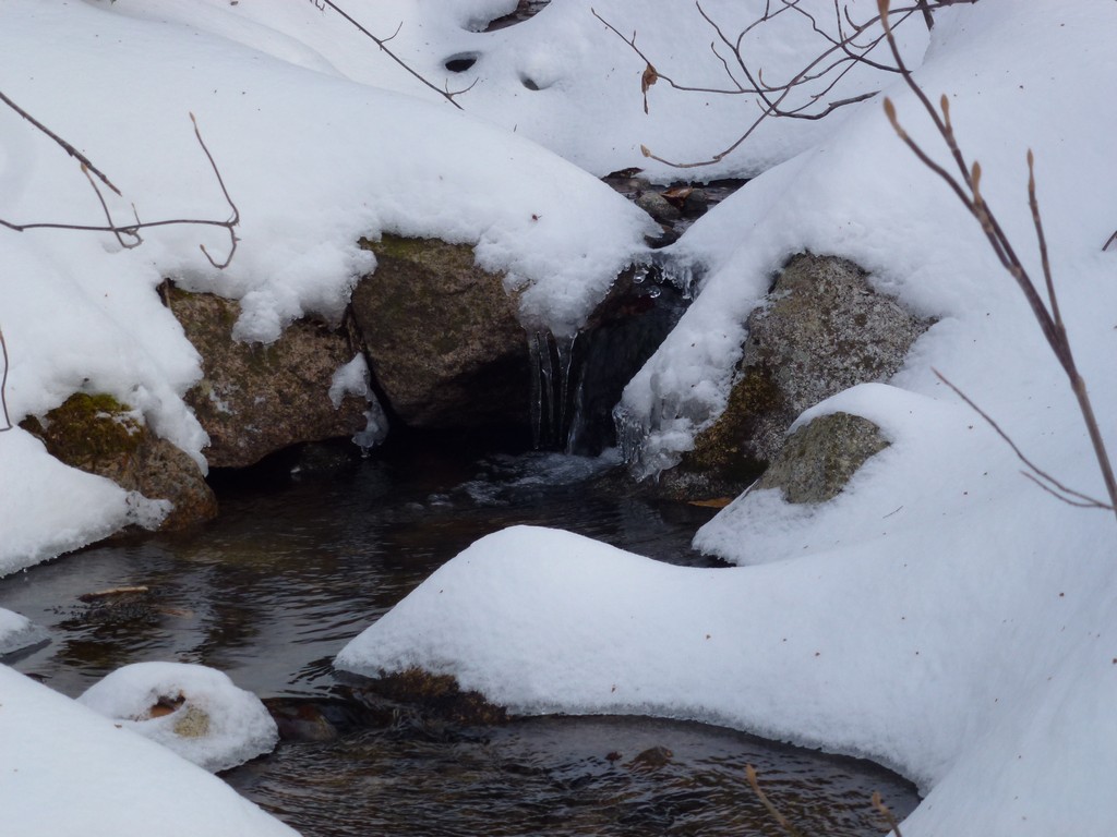
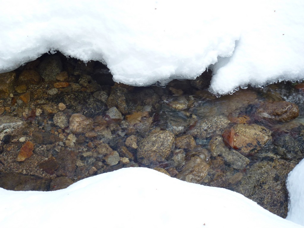
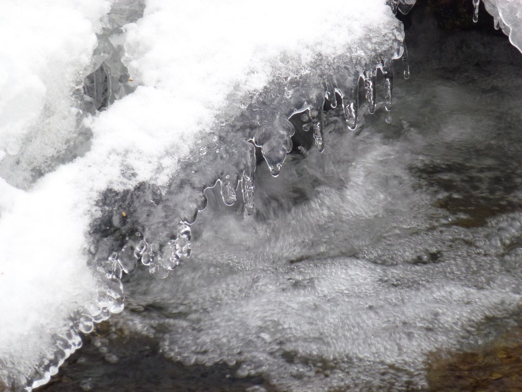
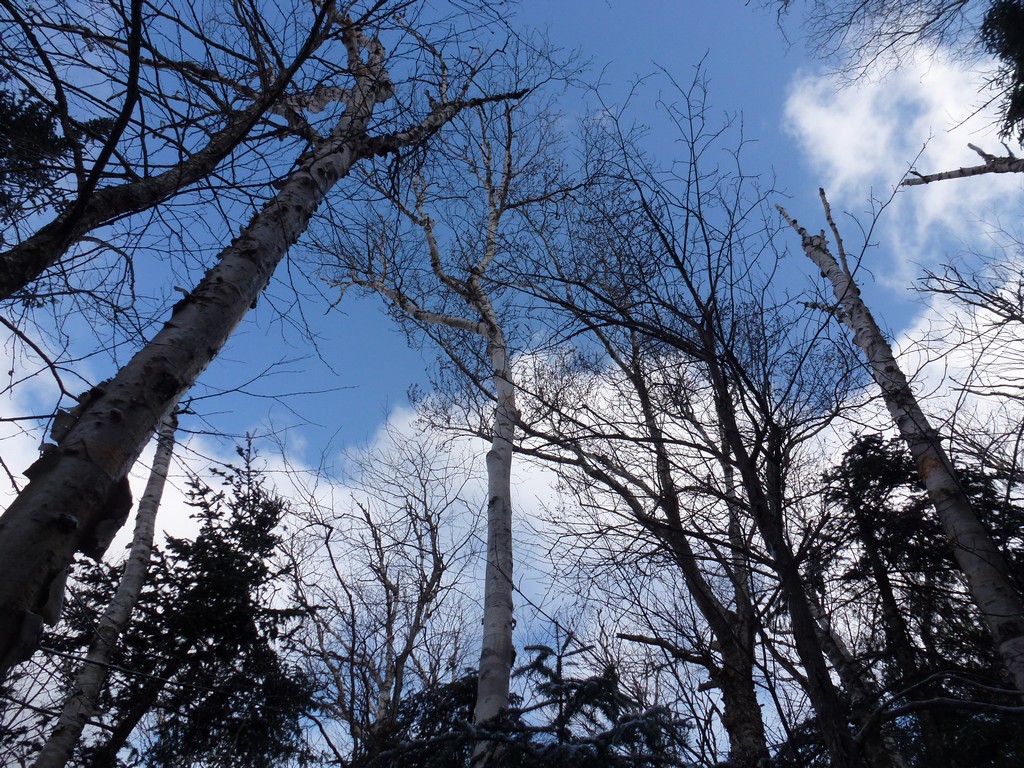
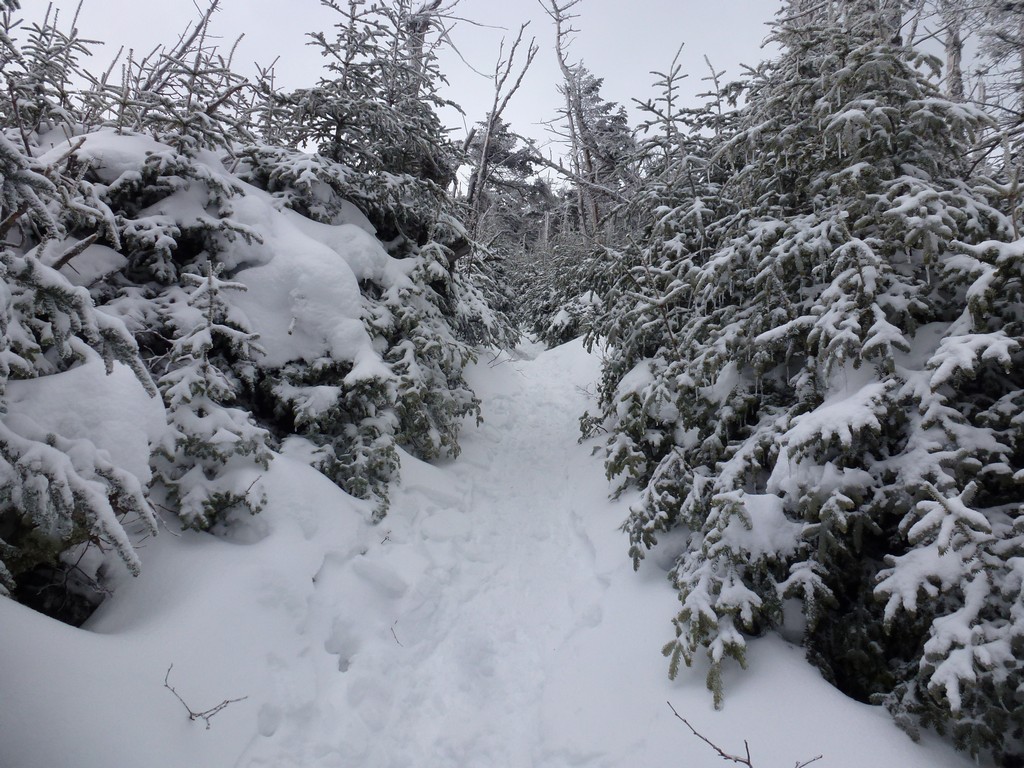
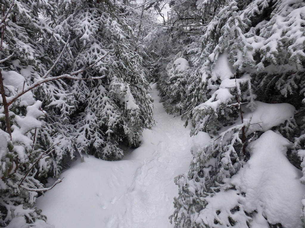
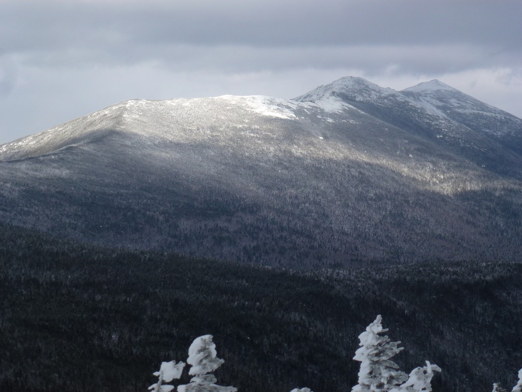
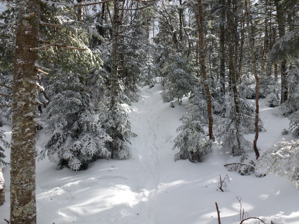
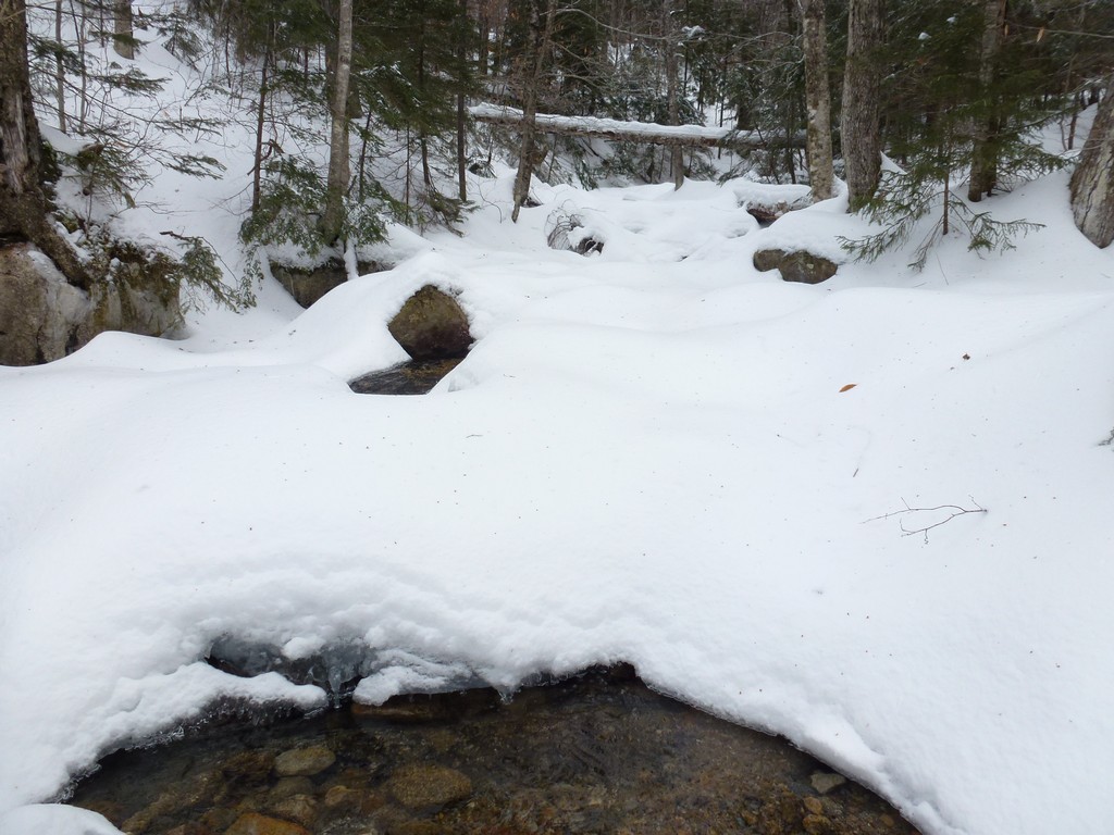
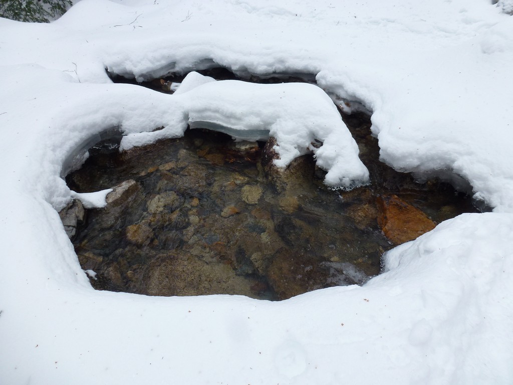
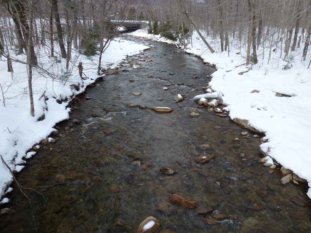
The hike on the lower portion of the Liberty Springs Trail was very pleasant. There was a fresh dusring of snow on the trail, maybe an inch or so, and it was obvious that someone had already been up the trail ahead of me. The trail was well packed below the dusting and snow shoes were not necessary. The were a couple of brook crossings but everything was pretty much forzen over and neither of these presented any problem. The scenery was absolutely stunning and I stopped a few times for photos.
|
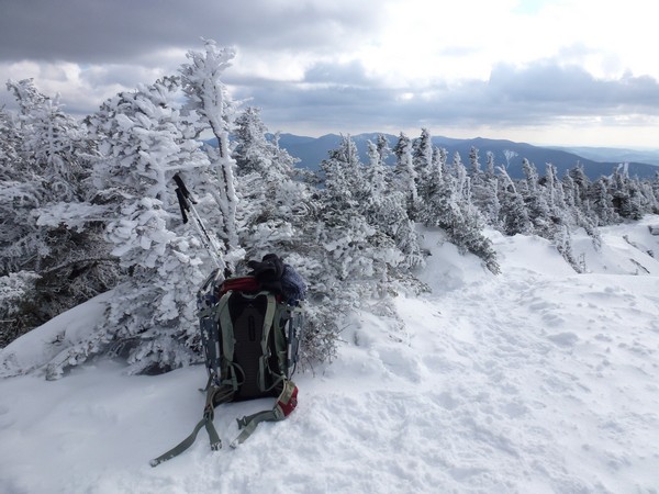
Shortly after the last stream crossing the trail started to head up at a pretty good angle, with almost no let-up until finally reaching Franconia Ridge. I had already shed my outer layer shortly after starting up the Liberty Springs trail because I was already getting to warm and after only a short distance into this steep uphill section I had to get rid of my microfleece as well. I still had long underwear and another shirt on my upper body and that was fine for this section. I ended up putting the microfleece back on as soon as I got to the ridge as when I wasn't moving it was a lot colder up there.
|
I had taken off my gloves to takes some photos at the trail junction and after just a few minutes they started gettin very cold. When I went to put my gloves back on I discovered that the insides had frozen solid. I did not realize that my hands had been prespiring so much and luckily I had a couple of pairs of liner gloves as well as some nice warm mittens with me. After putting on my liner gloves and mittens and also putting my microfleece back on I started up to the Mount Liberty summit.
|
Very close to the Liberty Springs campsite I had met up with a couple of guys who had already summited Liberty and were on their way back down. They told me of another larger group that was still ahead of me and that was moving very slow. I thought I might encounter them on the final stretch up to Mount Liberty but I did not and when I got to the summit I was happy to have it all to myself.
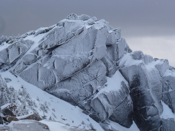
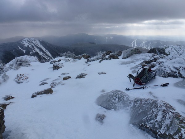
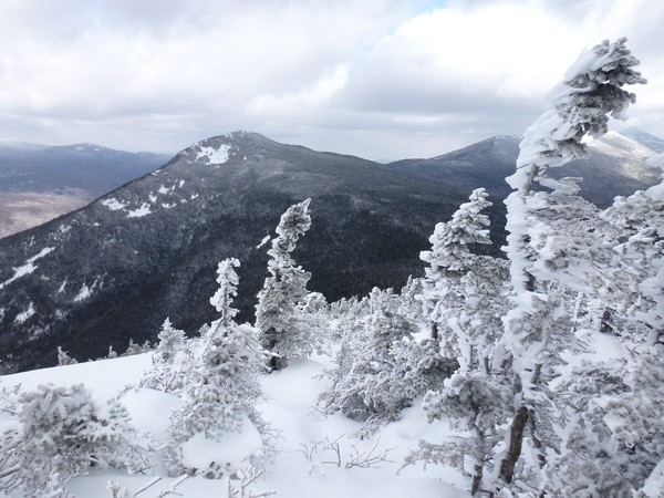
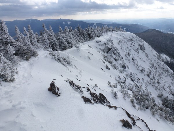
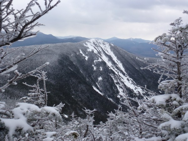
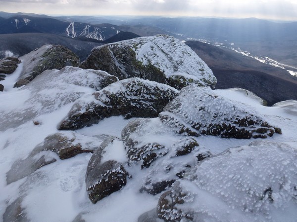
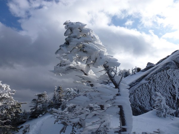
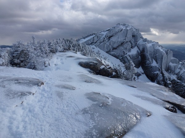
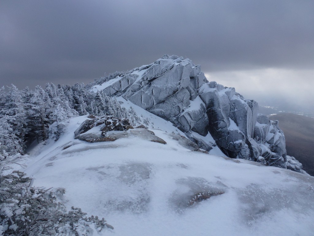
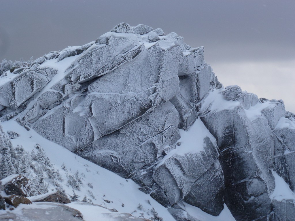
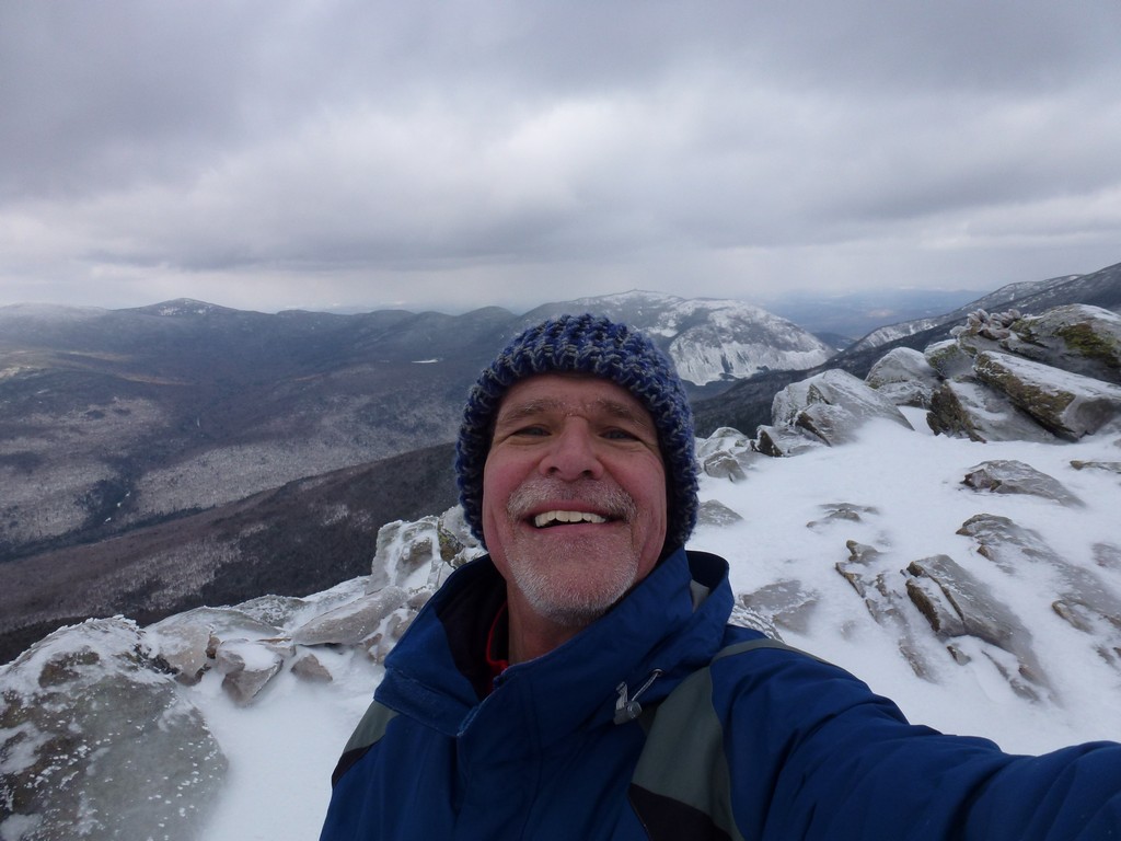
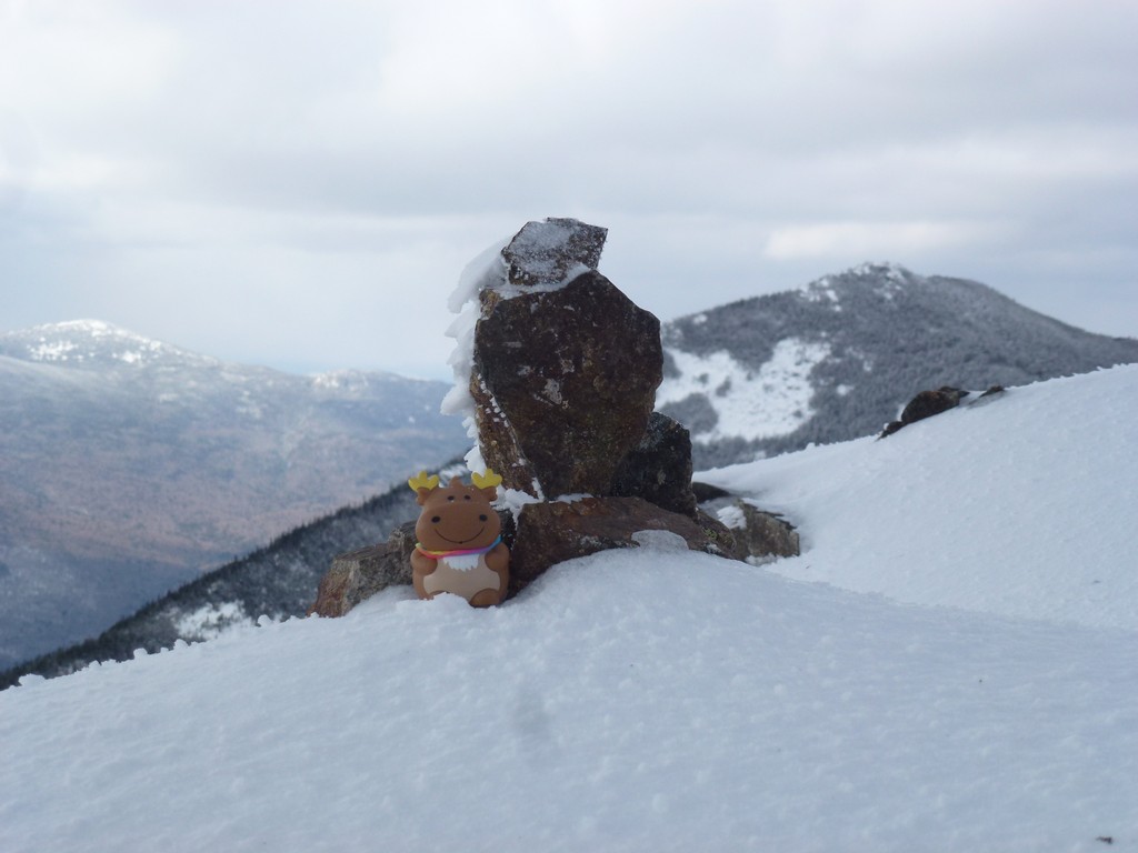
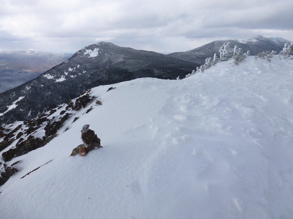
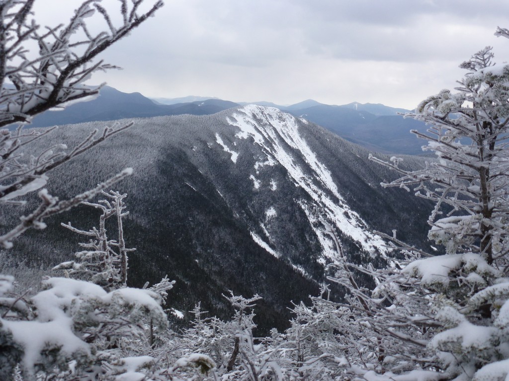
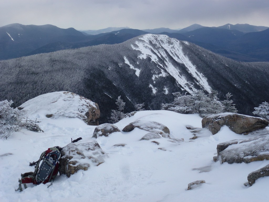
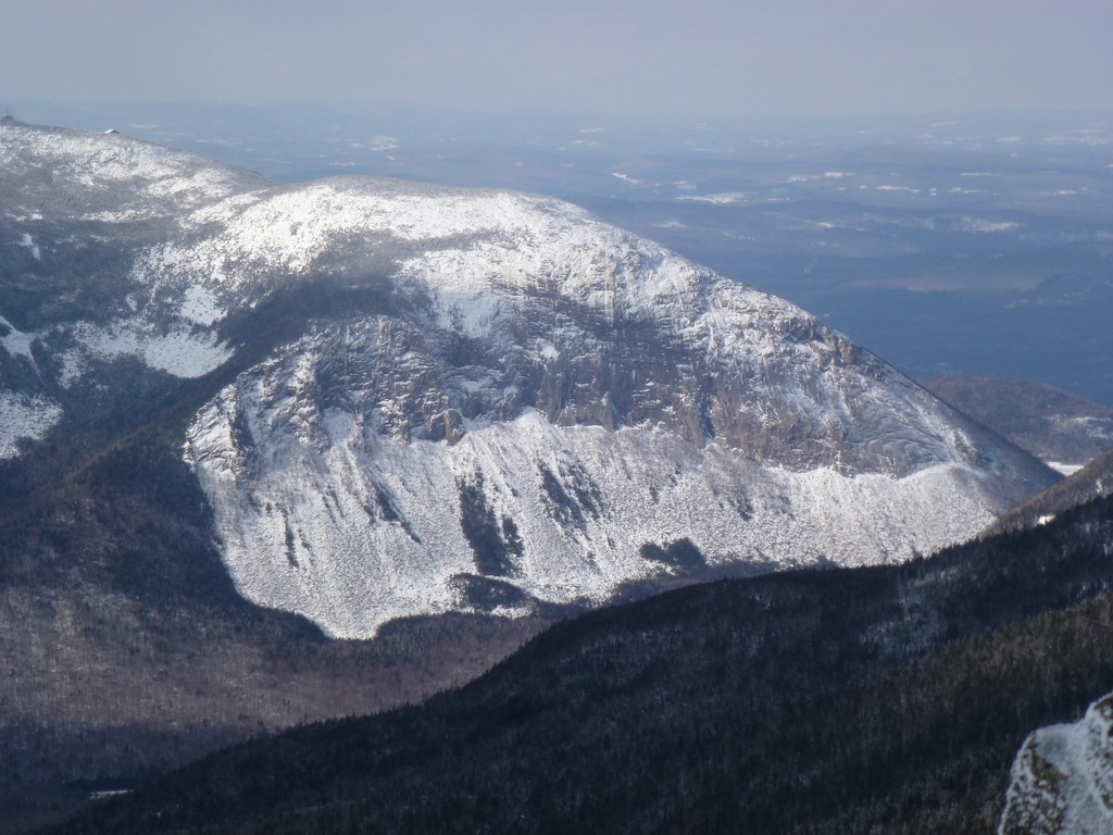
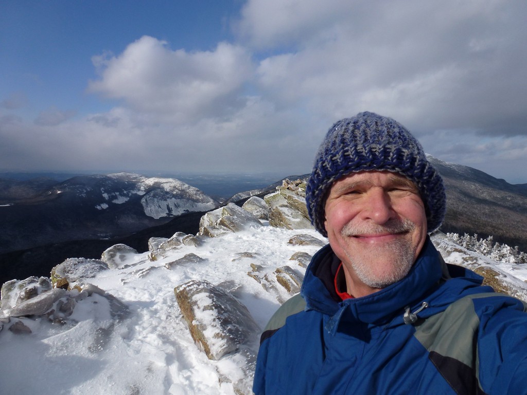
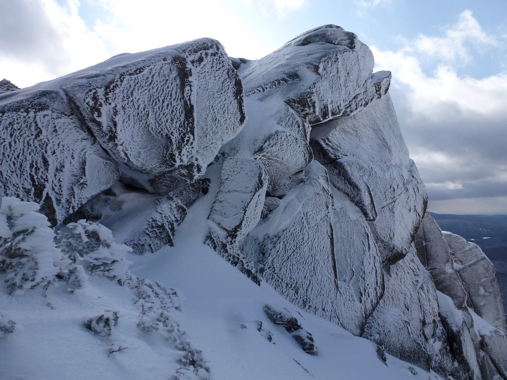
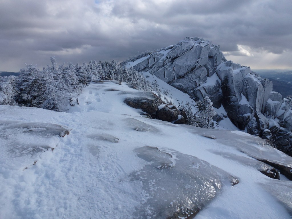
The top of Mount Liberty was covered in ice and I would not have wanted to be up there without my microspikes. I was very nervous as it was but the microspikes seemed to give plenty of traction. There was no wind up thee either, except at the very edge facing into Franconia Notch. If I stood within a few feet of the edge I could feel the wind blowing up the side of the mountain and then over but a few feet back from the edge there was no wind at all. It was still cold up there and I did not linger long. I took some photos and then start along the ridge towards Mount Flume.
|
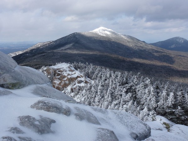
It took a little more than a half of an hour to go across the ridge to Mount Flume and it was in this section, just the other side of Mount Liberty, where I finally found the other group of hikers. They were stopped on the side of the trail taking a rest. There were six of them and I stopped to talk with them briefly but I really wanted to get to Mount Flume before they did so I did not waste any time in getting moving again.
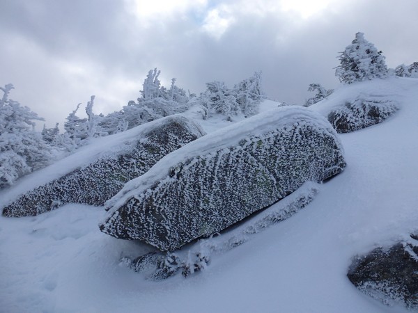
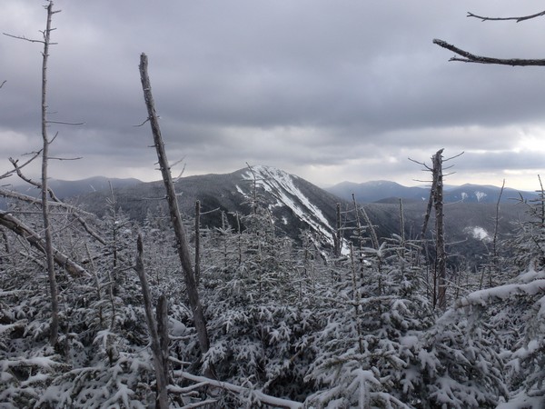
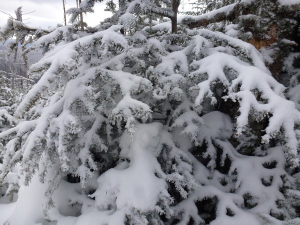
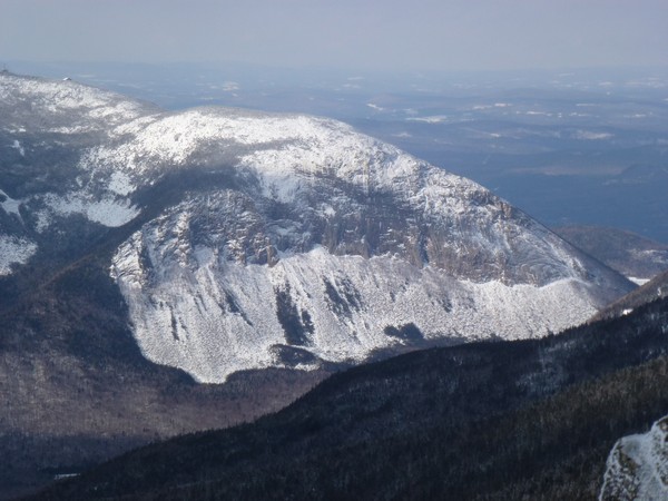
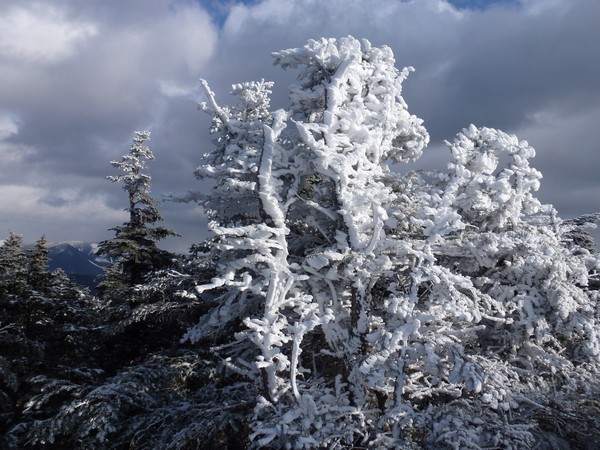
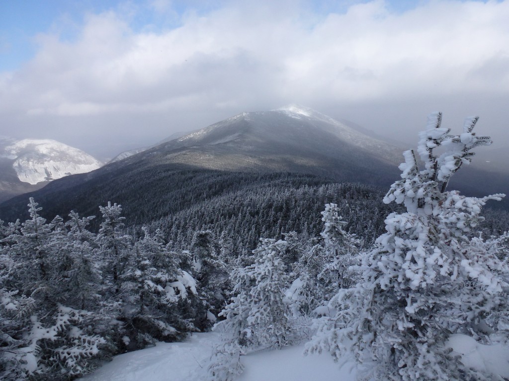
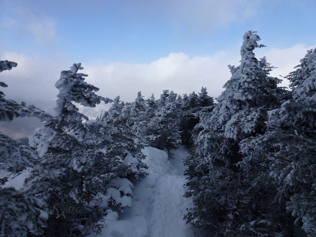
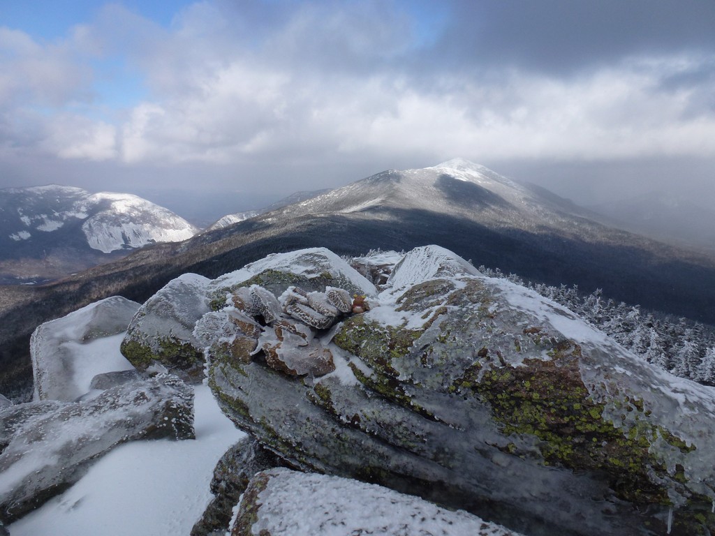
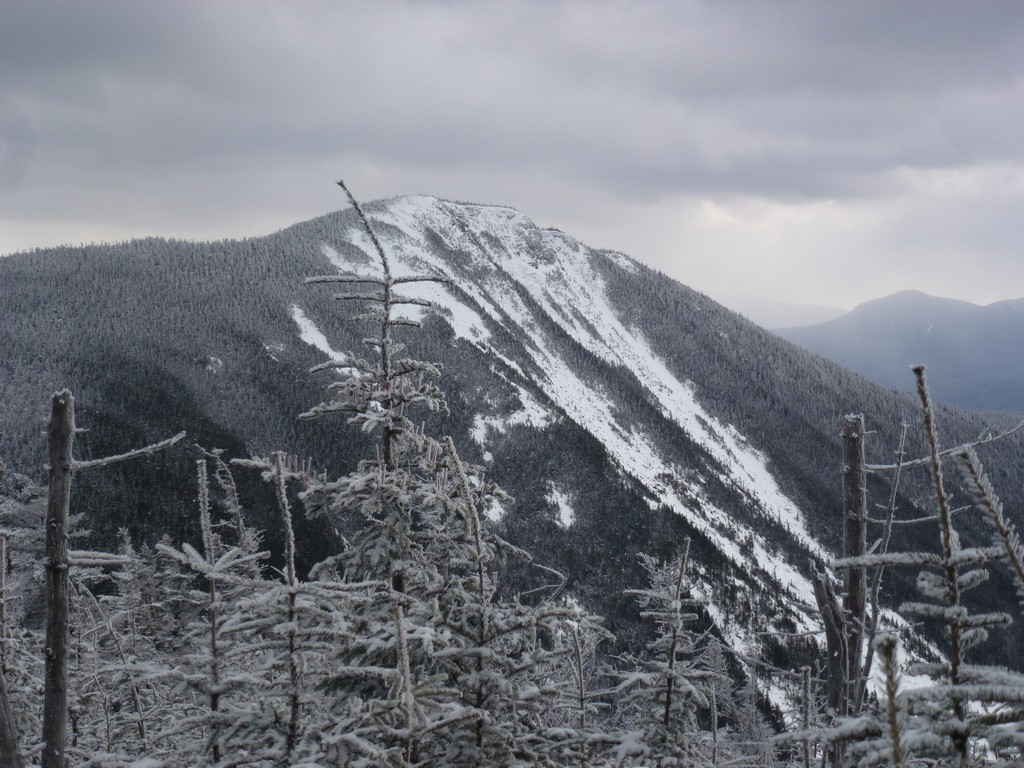
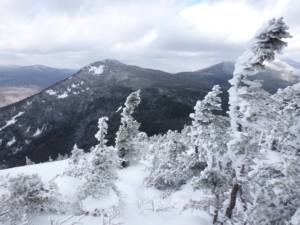
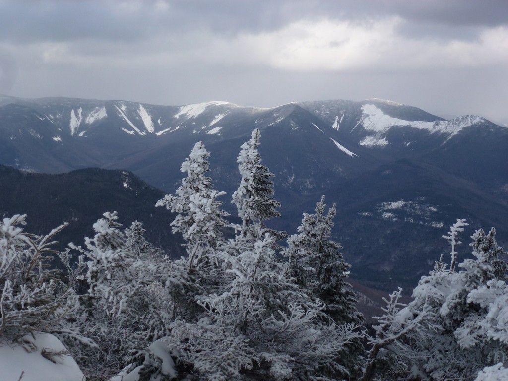
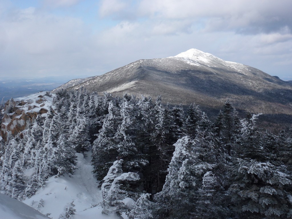
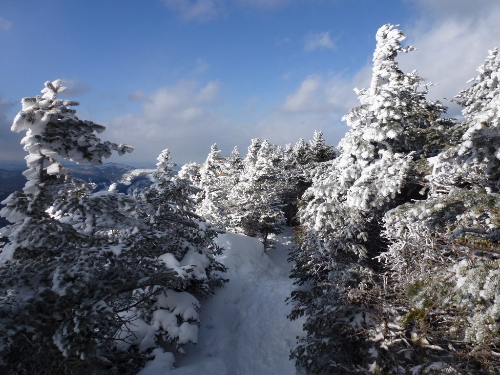
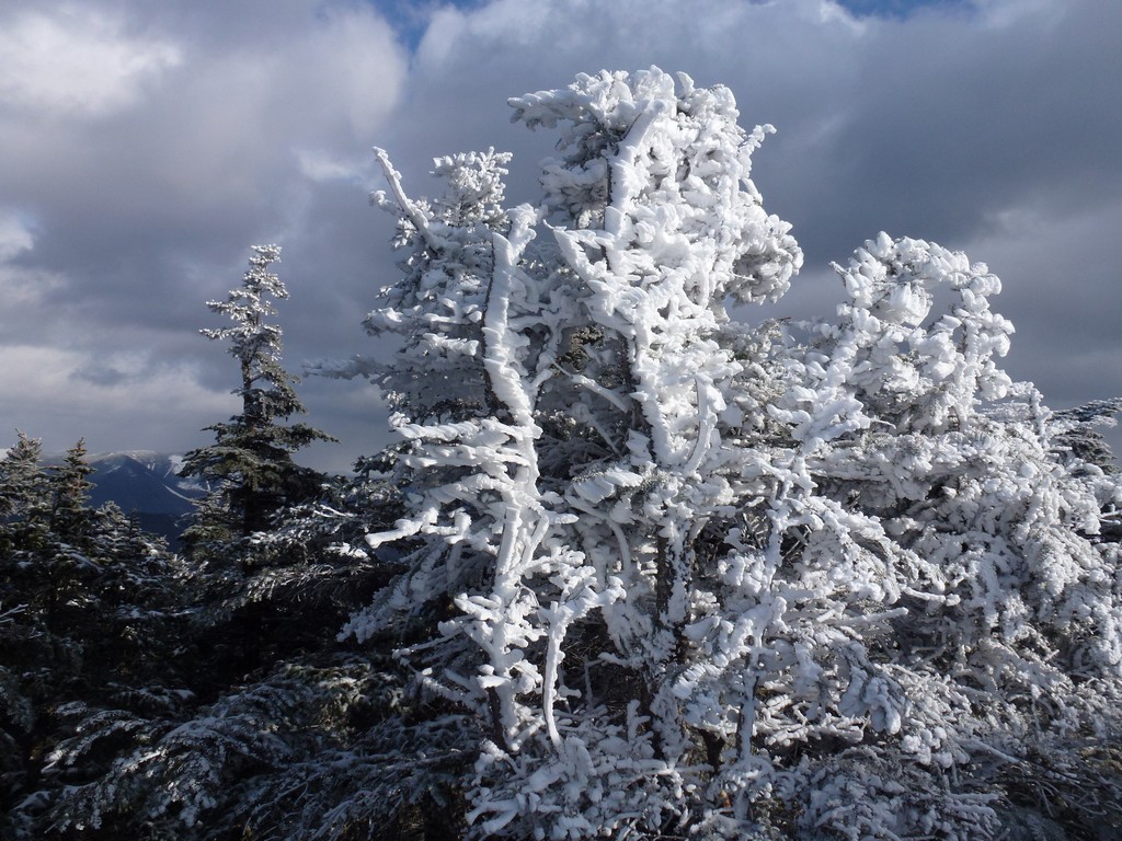
The top of Mount Flume was very different from Mount Liberty. Instead of lots of bare rock covered in ice at the summit there were lots of trees that were plastered with snow. The sun had been gone for a while and without the sun it felt a lot colder so I didn't stay there long. I just took some photos and headed pack to Mount Liberty.
|
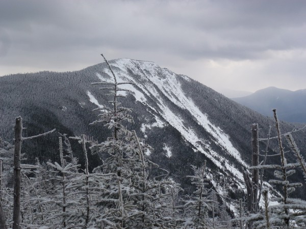
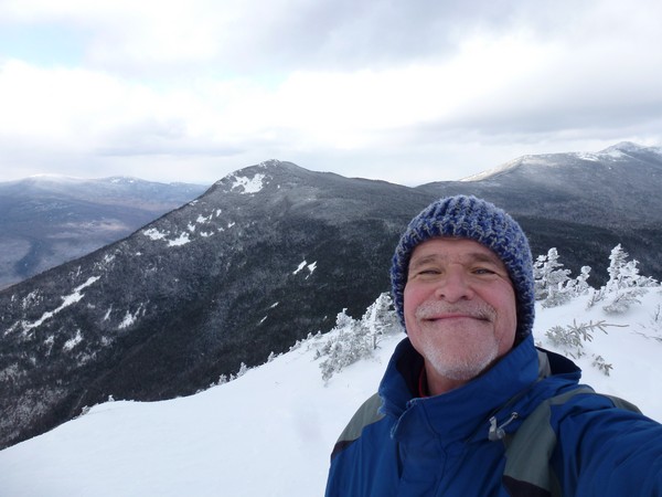
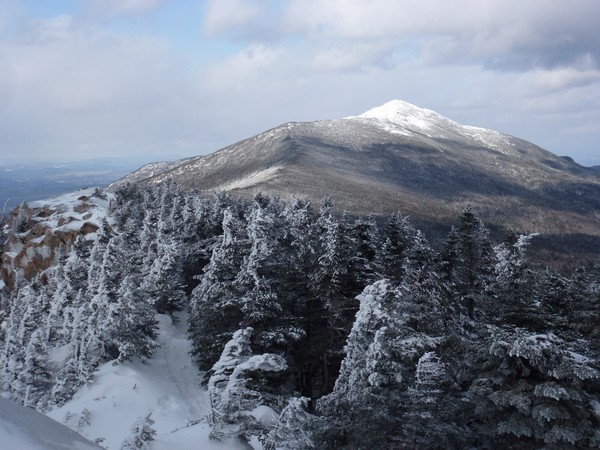
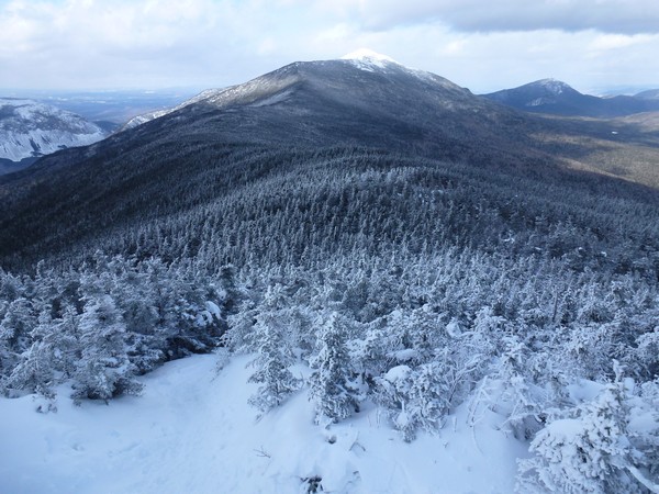
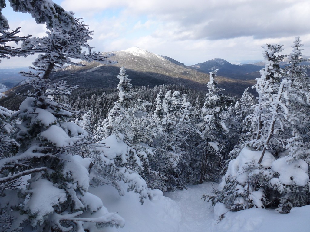
It was pretty cloudy for most of the way but the sun did come out a few times on the way back to Mount Liberty and everything looked so pretty when it did. I met the other party that I had passed coming the other way and they were just starting up the final section to the top of Mount Flume while I was heading down. It was very nice to have both summits to myself while I was there.
|
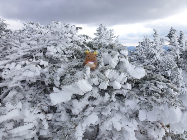
There was a little more sunshine when I got back to Mount Liberty which made it feel a little warmer. It was close to 1:30pm and I had still not had my lunch yet so I got out my peanut butter and jelly sandwich and found a comfortable rock to sit down on to eat it.
After I finished my sandwich I ended up staying a while longer to take some brighter photos.
|
I stopped not at all going down on the Liberty Springs Trail and I made very good time. Many of the steeper sections were actually a lot of fun going down as I built up a lot of speed and just used the microspikes in the snow for braking here and there so as to not build up too much speed and lose control. It sure is nice hiking in the winter time when all of the rocks and roots that would normally slow you down are covered with snow and there is mostly just a level trail to contend with.
I did stop briefly at one of the brook crossings for a few photos but then continued on and did not stop again untli I reached the junction wit the Whitehouse and Pemi Trails.
|
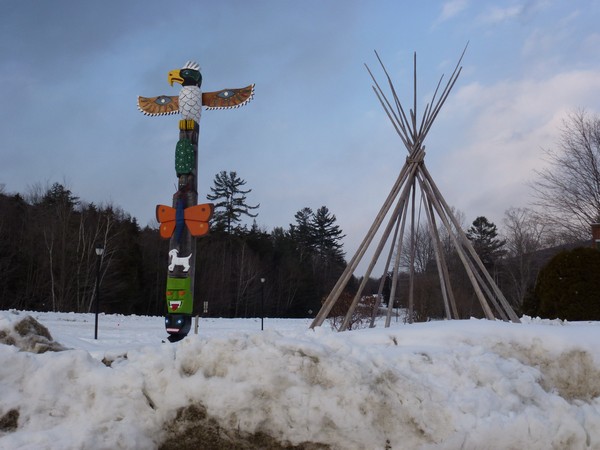
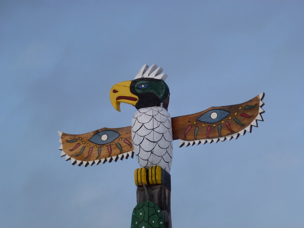
I could not resist stopping to take a couple shots of the totem pole at the Indian Head Resort on the way back to I-93.
|
|
|
|---|
|
|---|


