|
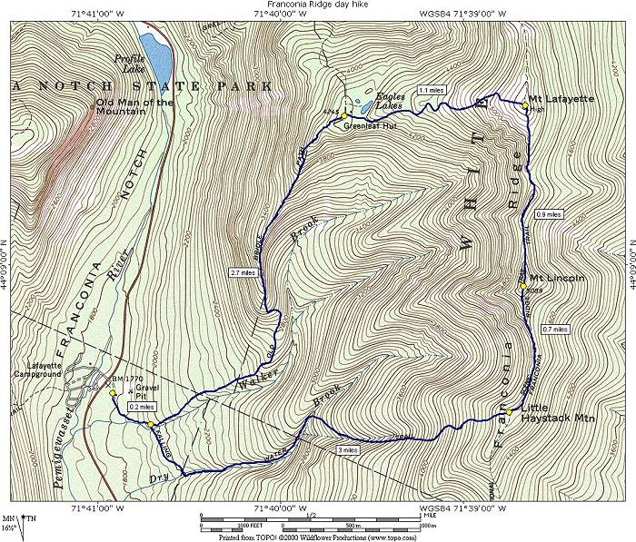
Franconia Ridge day hike |
|---|
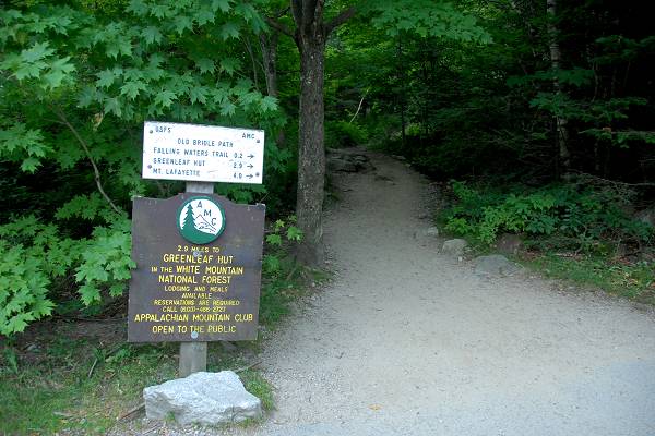
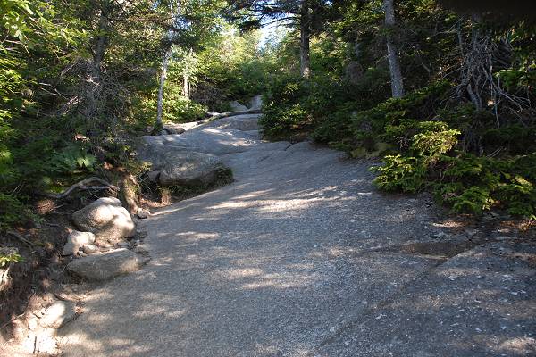
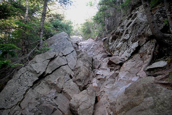
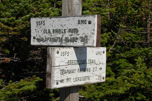
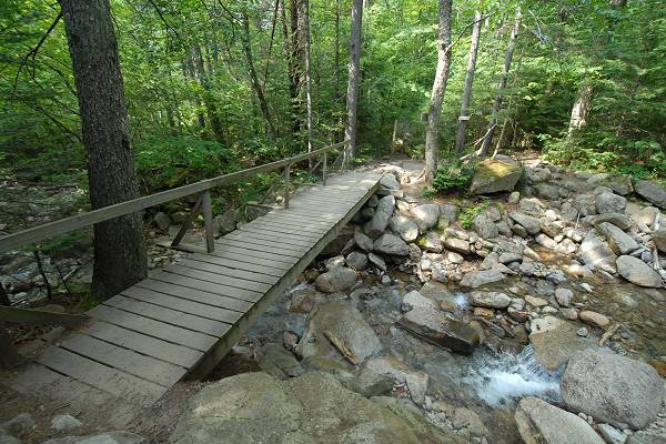
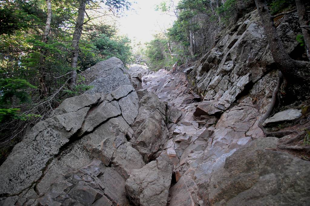
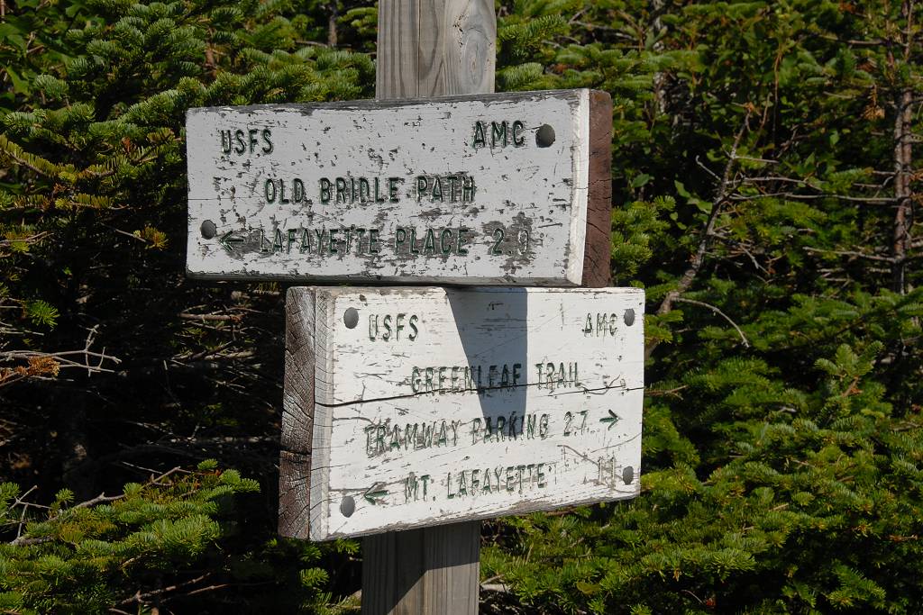
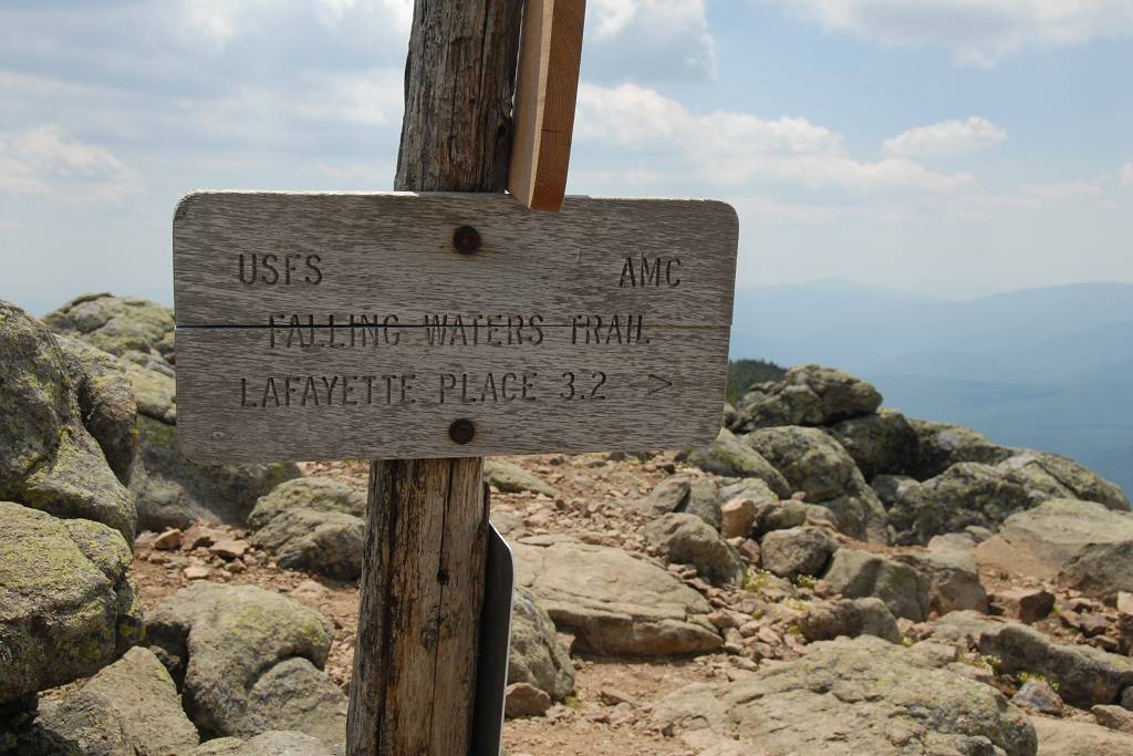
This day hike involved going up the Old Bridle Path to Mount Lafayette, taking the Franconia Ridge Trail across to Mount Lincoln and then to Little Haystack Mountain and finally descending via the Falling Waters Trail.
|
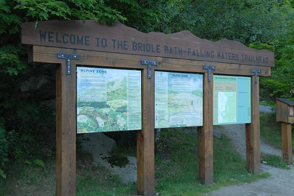
The starting point for this hike was the parking lot on the east side (northbound lane) of I-93 (Franconia Notch Parkway) just across the road from the Lafayette Campground.
|
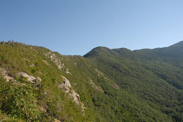
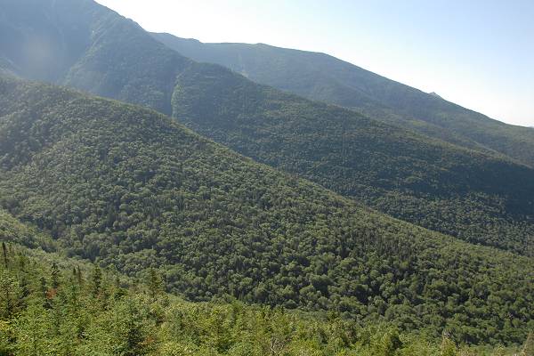
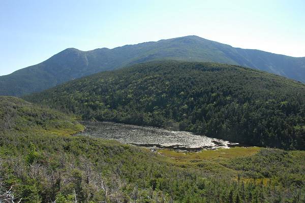
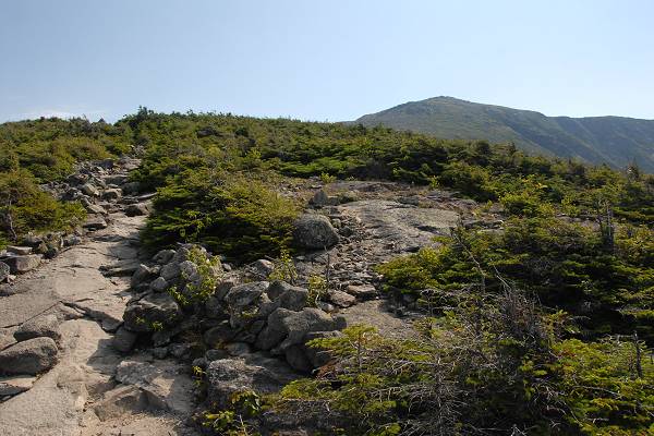
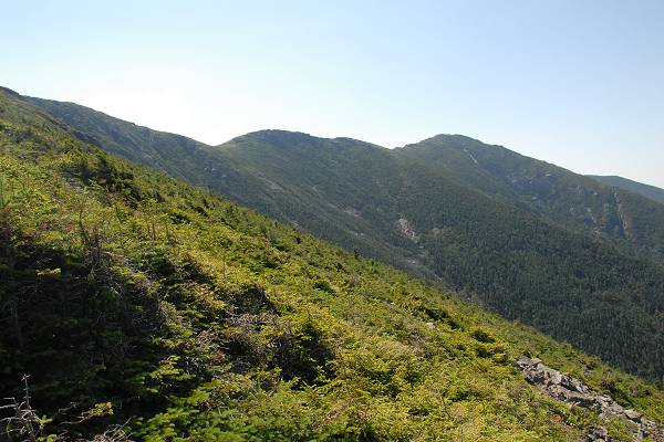
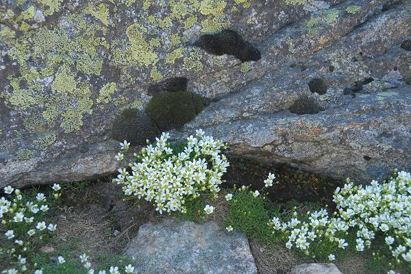
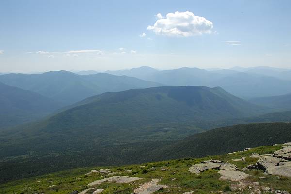
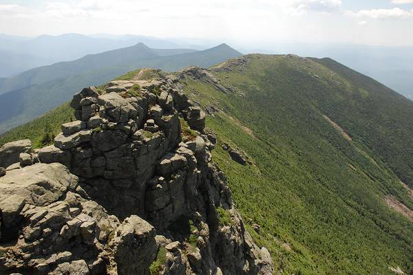
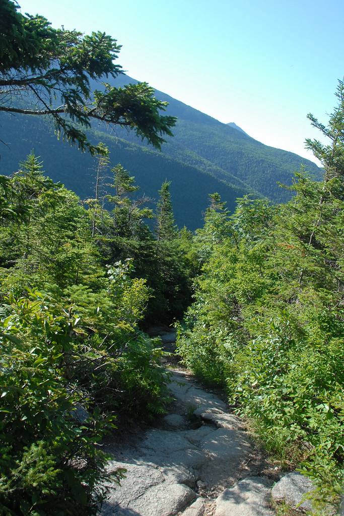
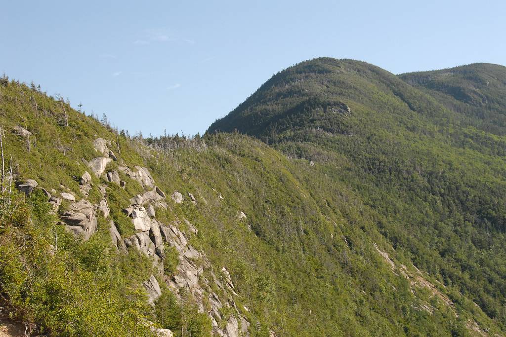
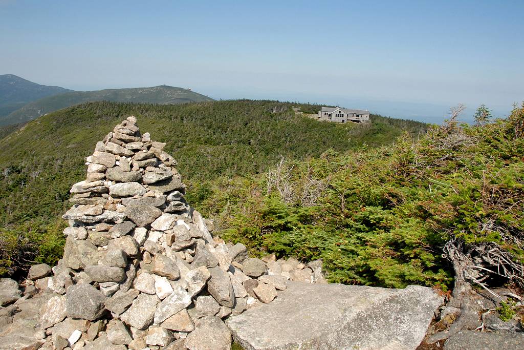
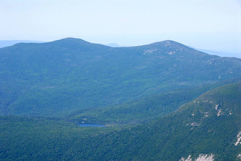
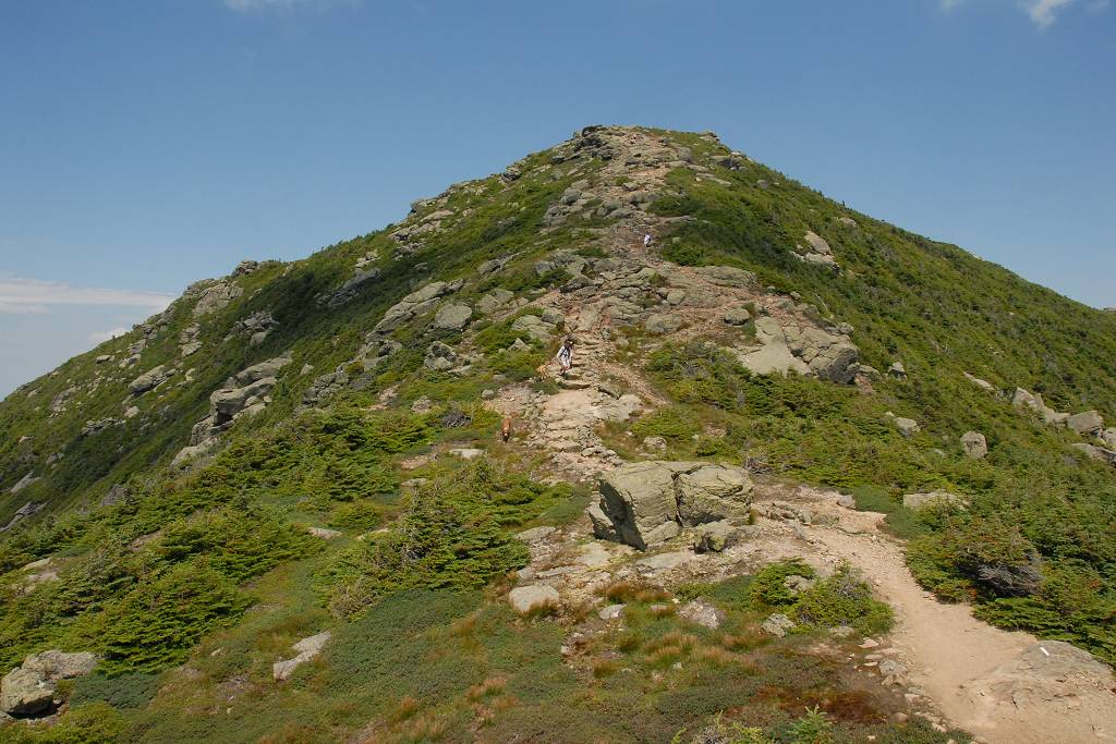
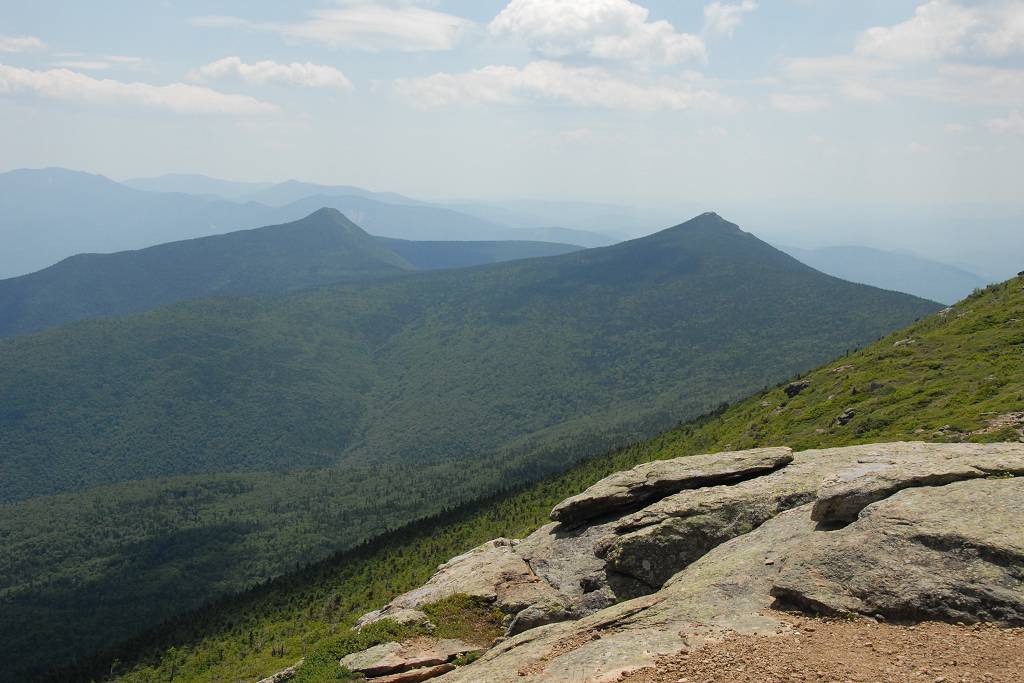
I did stop for photos at some of the nicer overlook ledges along the ridge on the way up to the Greenleaf Hut.
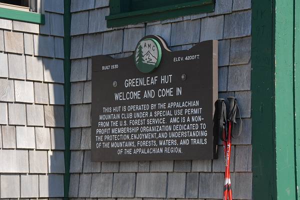
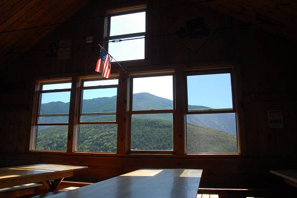
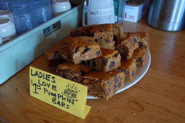
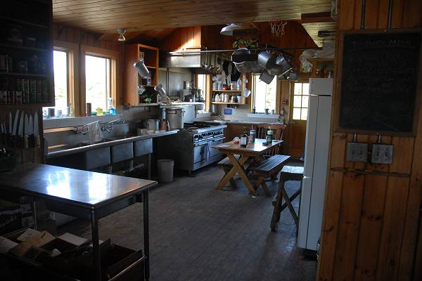
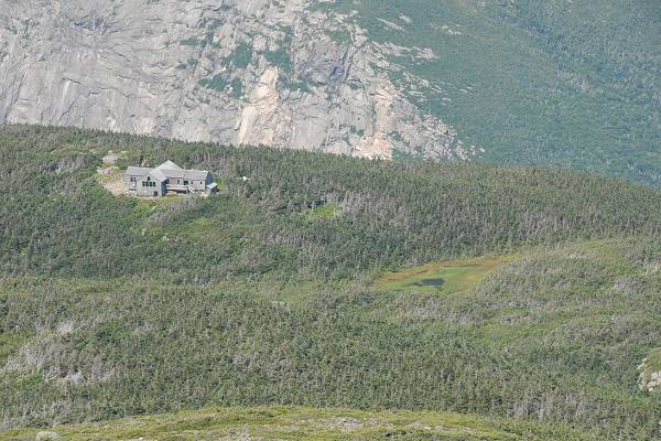
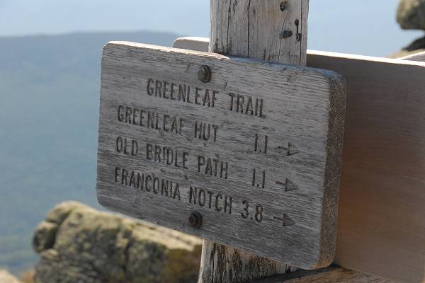
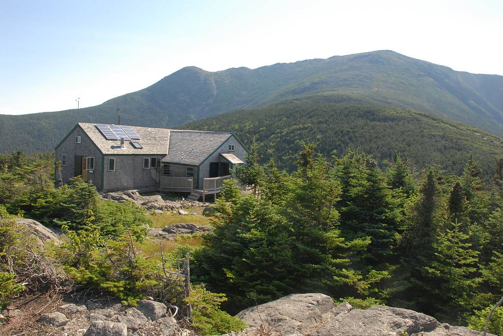
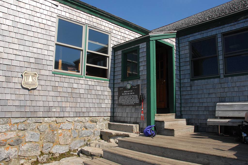
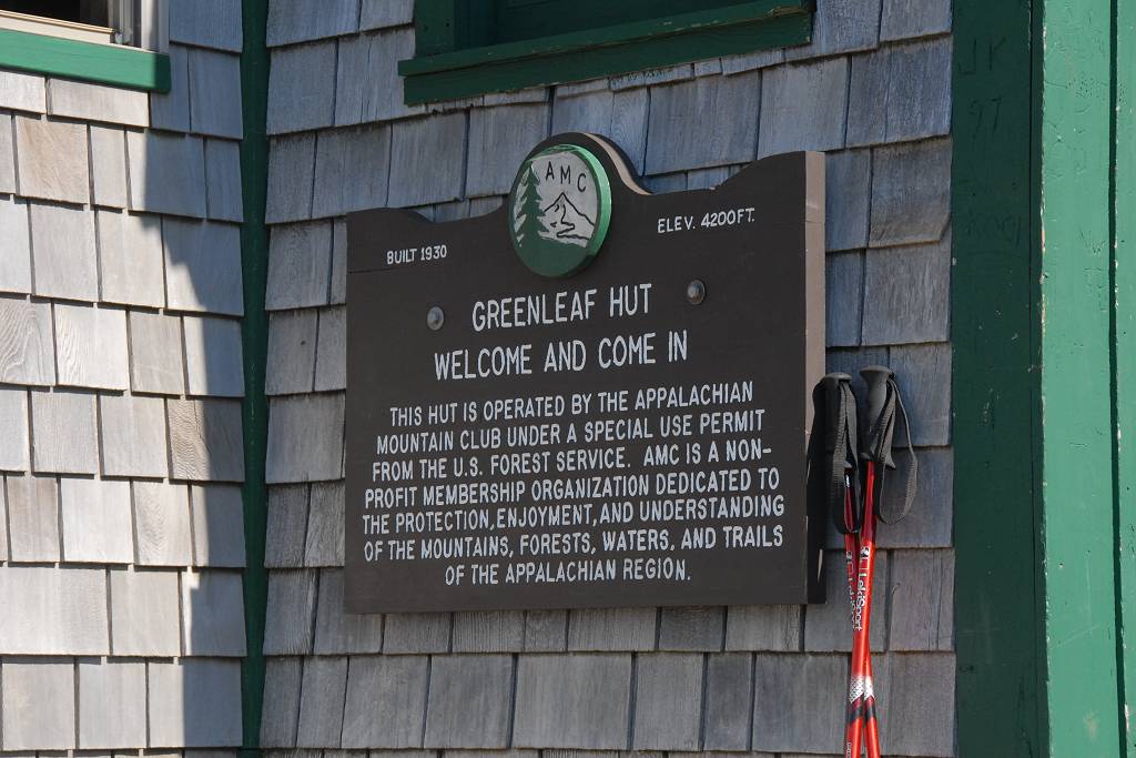
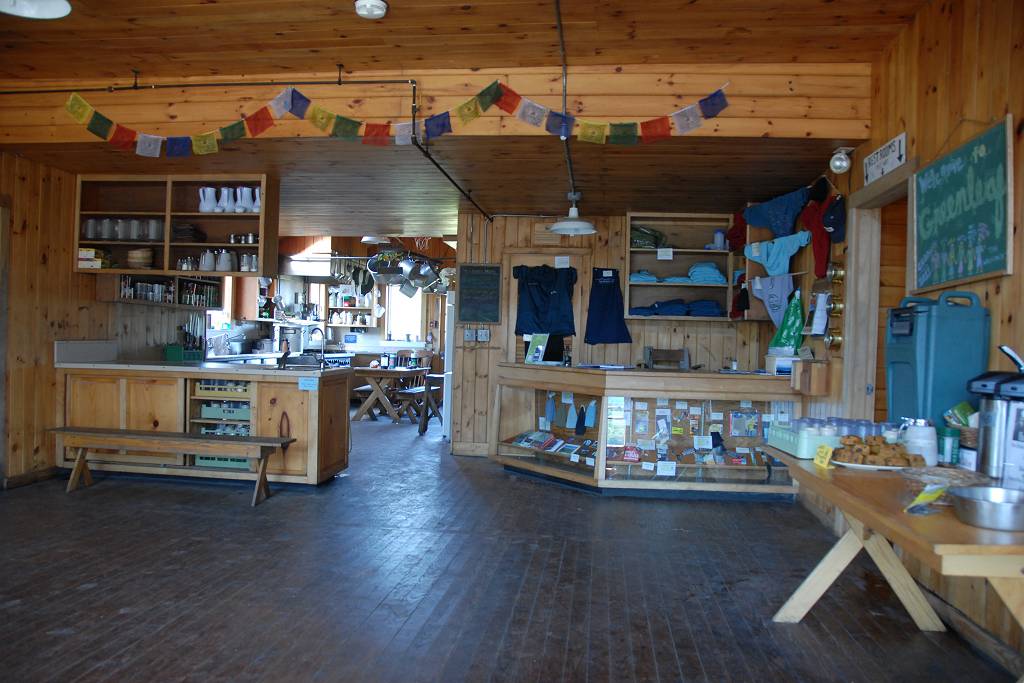
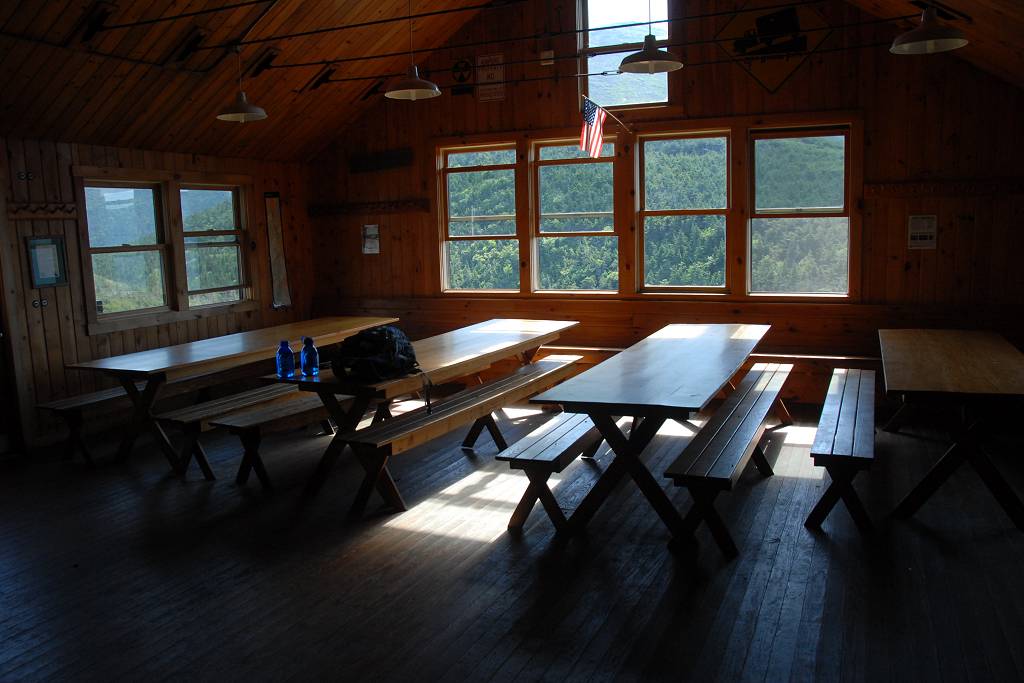
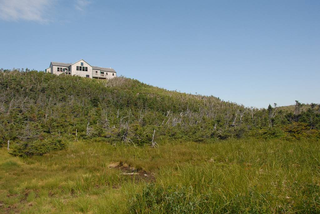
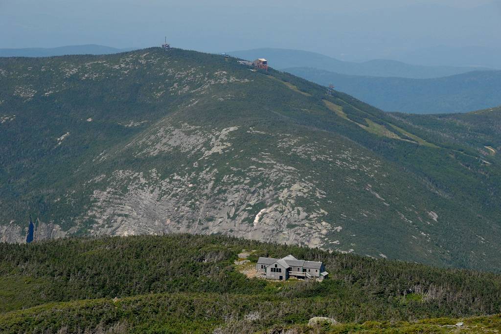
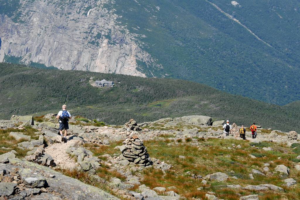
I made great time going up to the Greenleaf Hut and arrived there around 9:15am. I went inside to refill the water bottle that I had been drinking from and noticed some pumpkin bars for sale on one of the tables in the dining room, They had chocolate chips in them and looked too wonderful to resist so bought one and sat down to eat it and enjoy the view of Mount Lafayette out the window. I took some photos around the hut both inside and out and finally hit the trail again a little after 9:30.
|
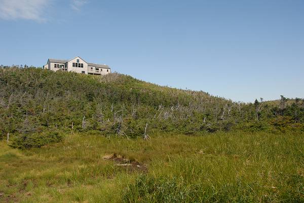
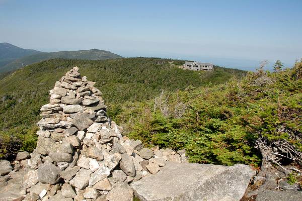
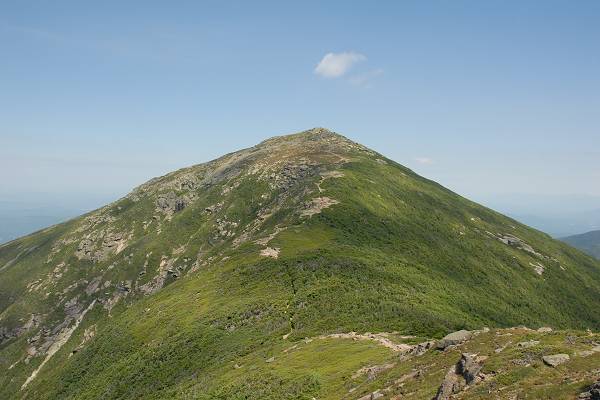
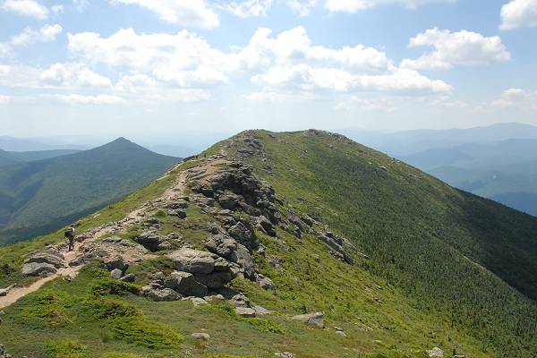
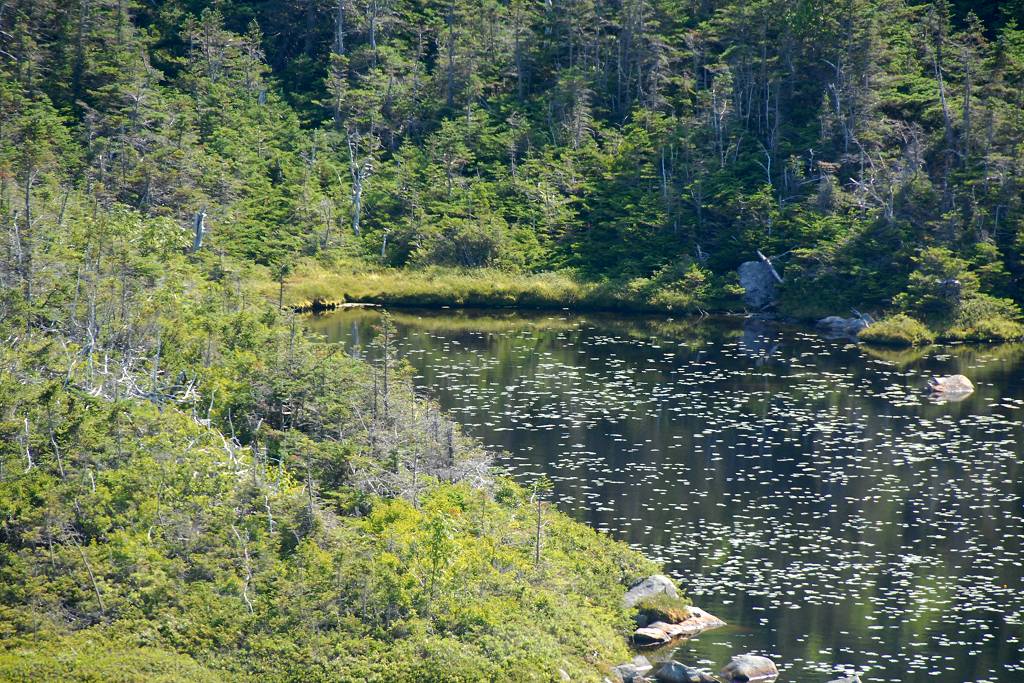
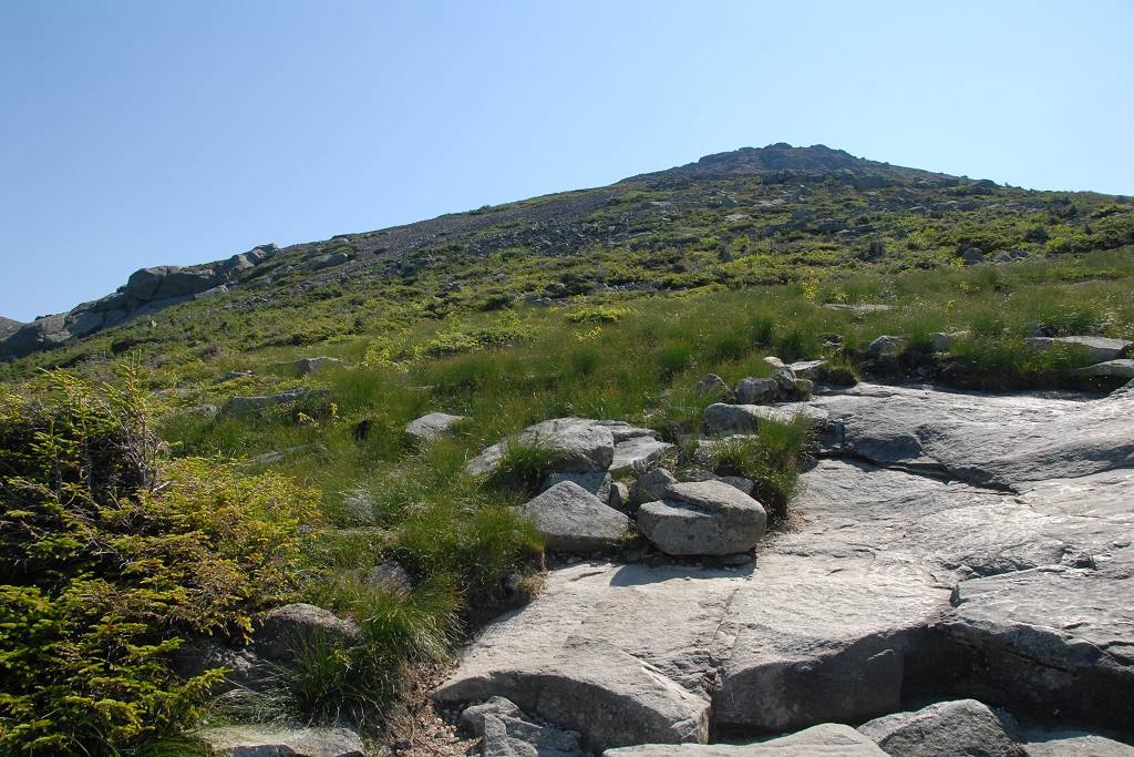
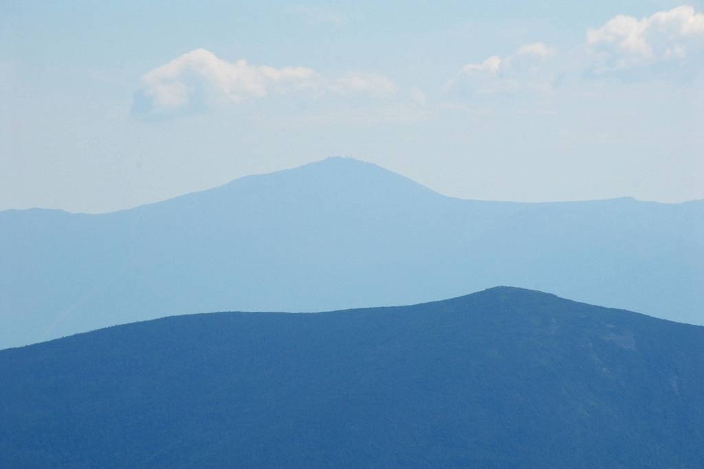
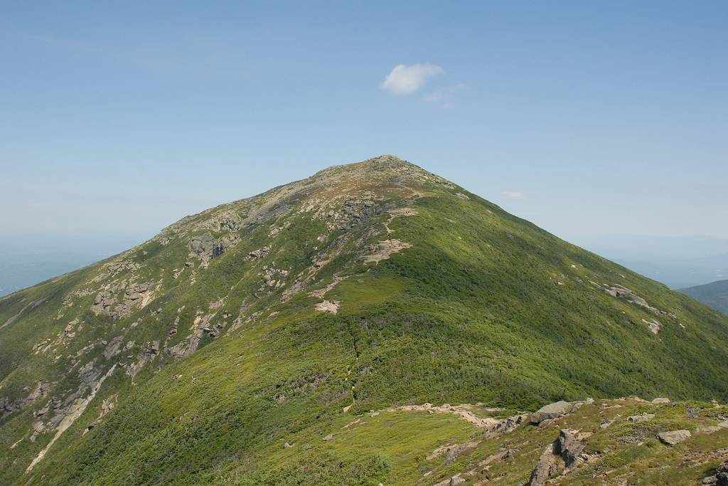
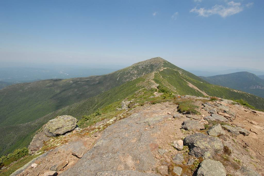
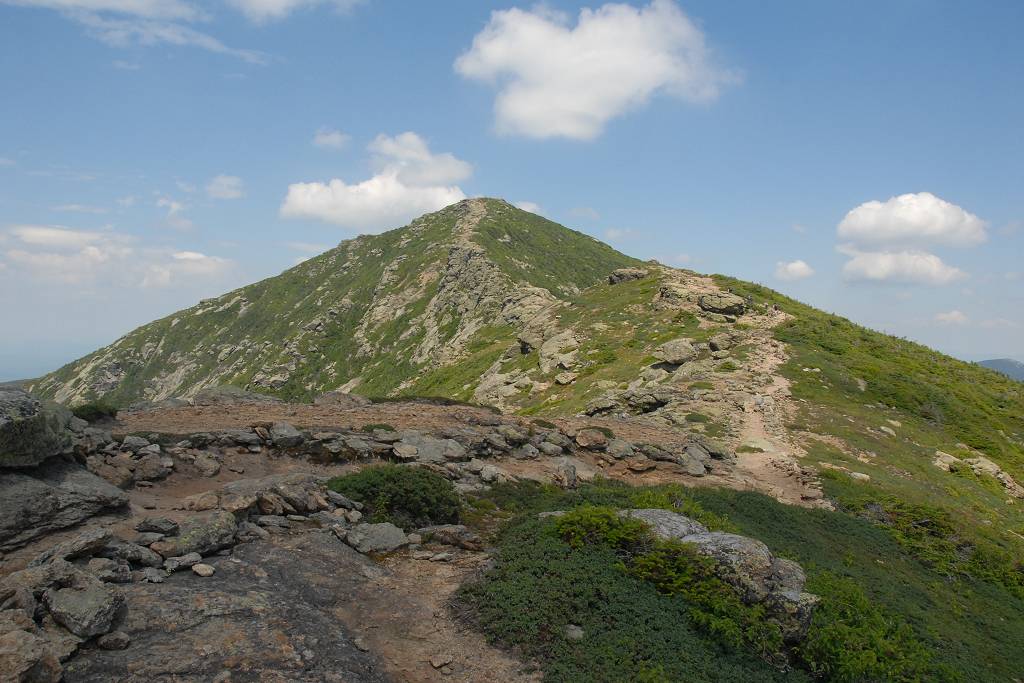
The views from above the tree line during the final climb to the top of Mount Layfayette were magnificent. I could see the Greenleaf Hut getting smaller and smaller the higher I climbed and then had some really nice views of it with Cannon Mountain directly behind.
|
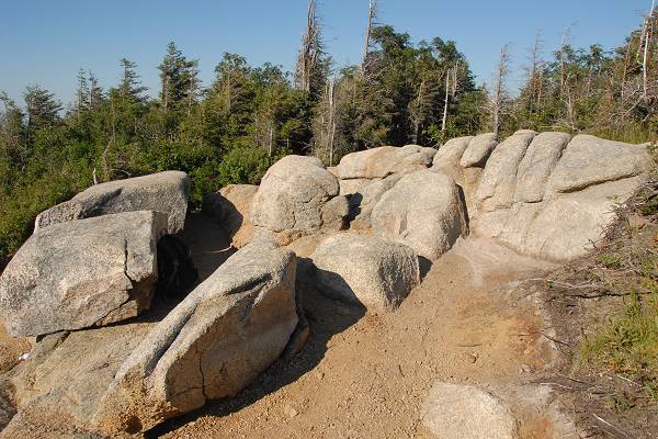
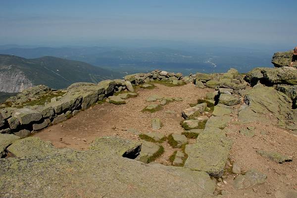
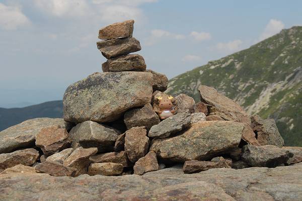
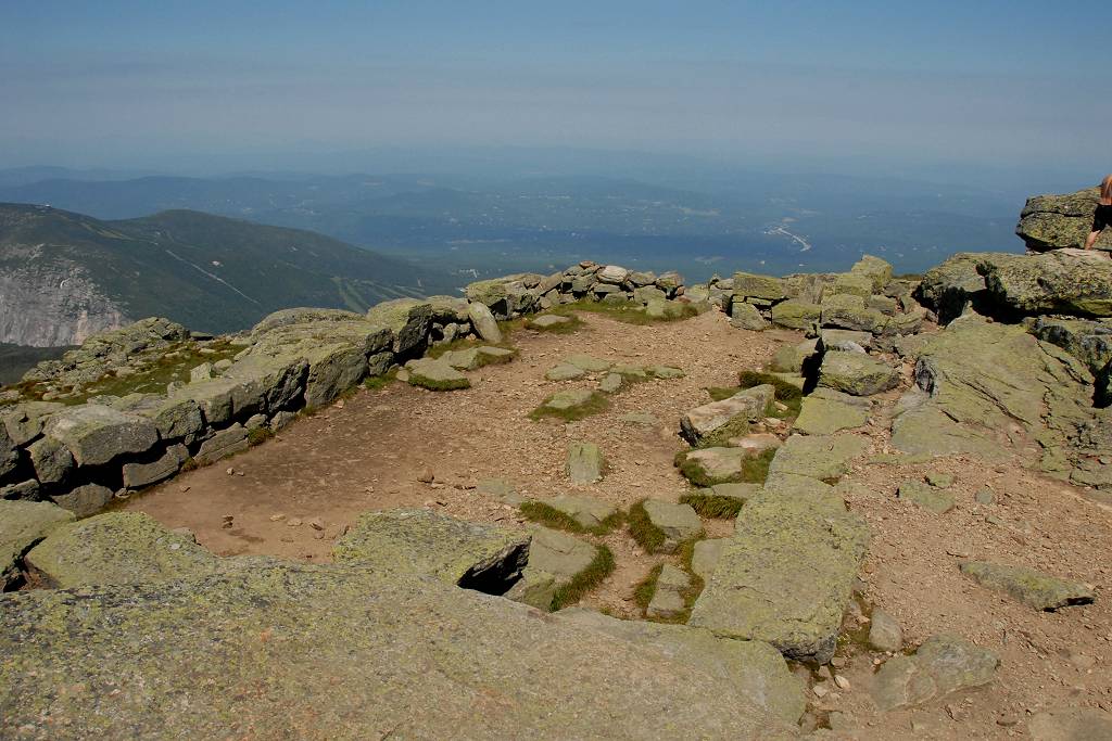
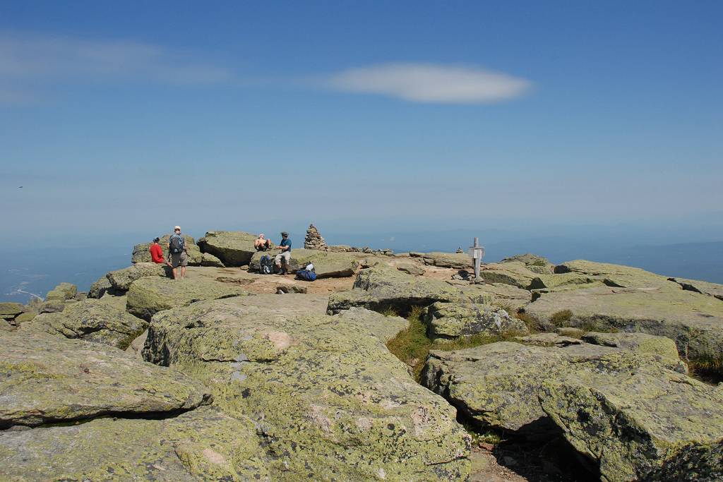
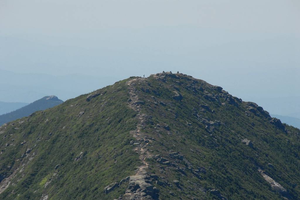
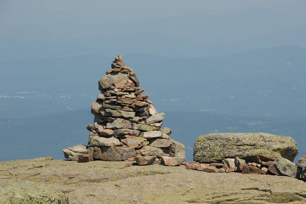
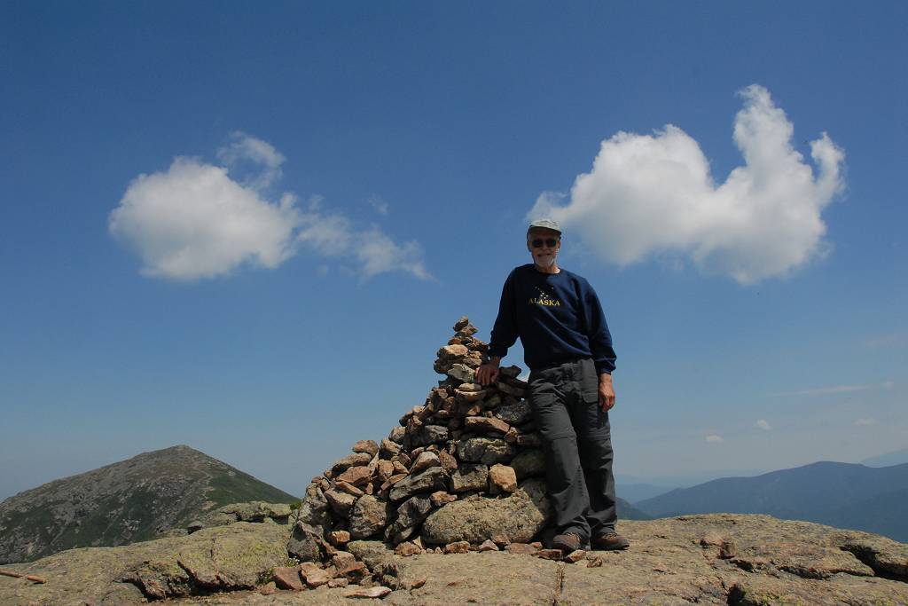
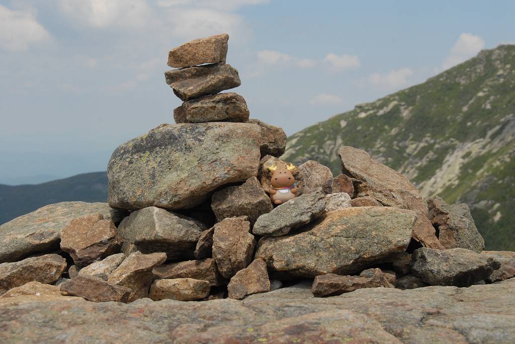
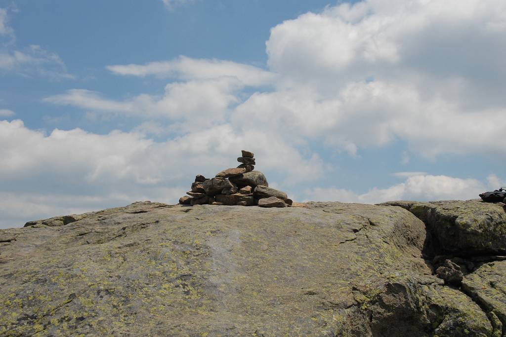
I arrived on top of Mount Layfayette just a little after 10:30 and did not stay there too long. There were perhaps ten or twelve people up there who had most likely come up from the hut earlier in the morning. I also met a few people coming down while I was going up. I was on top for maybe ten minutes taking photos before I started down the other side and along the ridge to Mount Lincoln.
|
It was very chilly up on the ridge and I was glad to have my sweatshirt with me. I did not even bother bringing rain gear on this hike as rain seemed very unlikely.
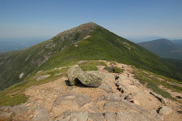
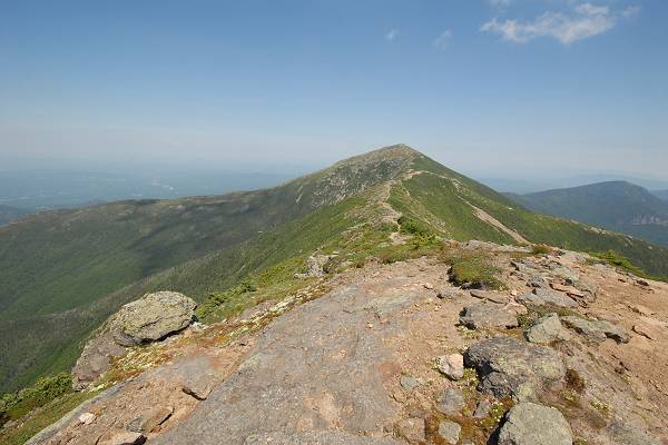
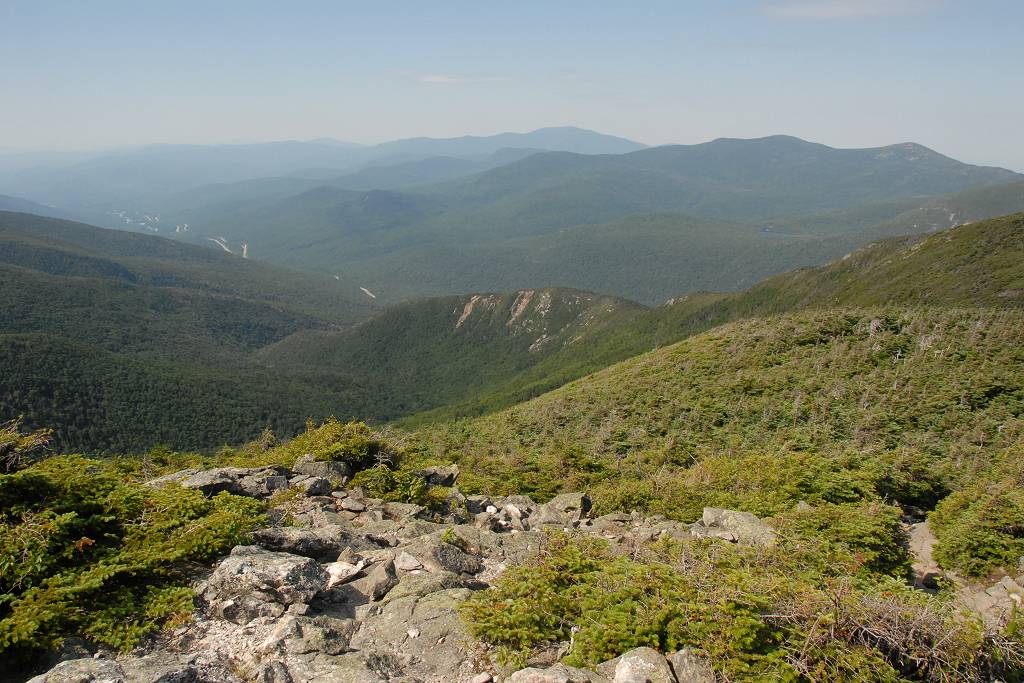
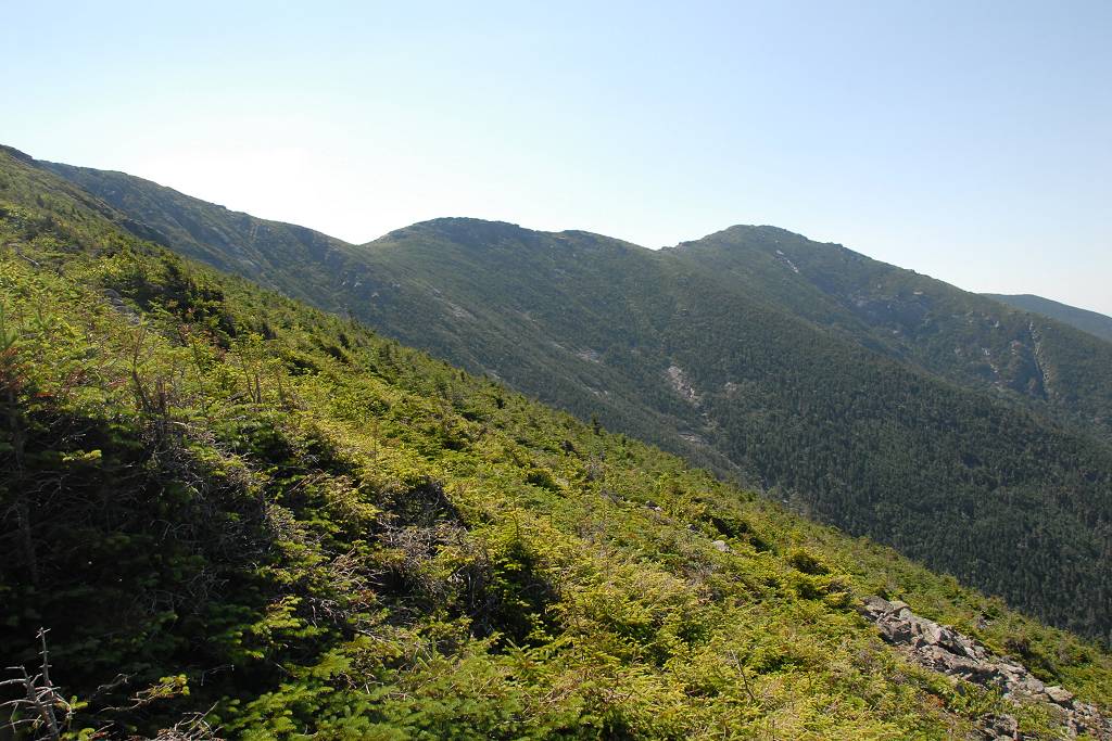
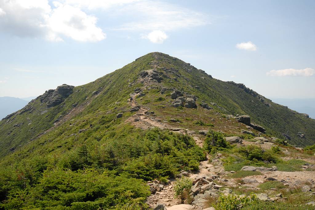
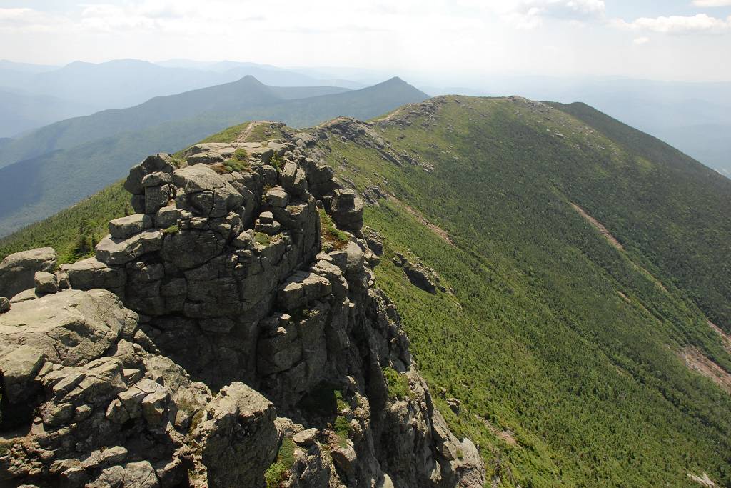
I slowed down considerably going along the ridge. The weather was gorgeous and I stopped a lot for photos and to just sit and look and enjoy the day and the scenery. It's so rare to end up with such a perfect day like that in the mountains. It was very clear when I started but clouds started to build by late morning.
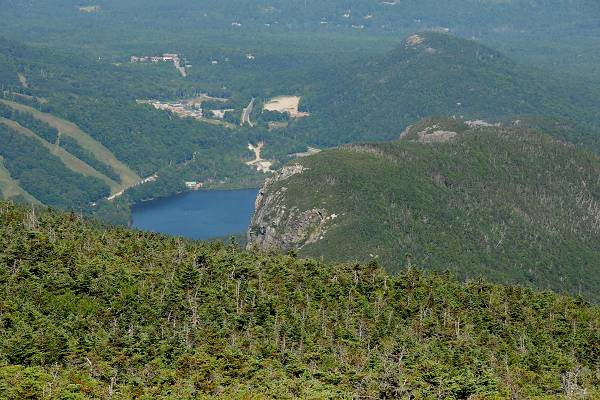
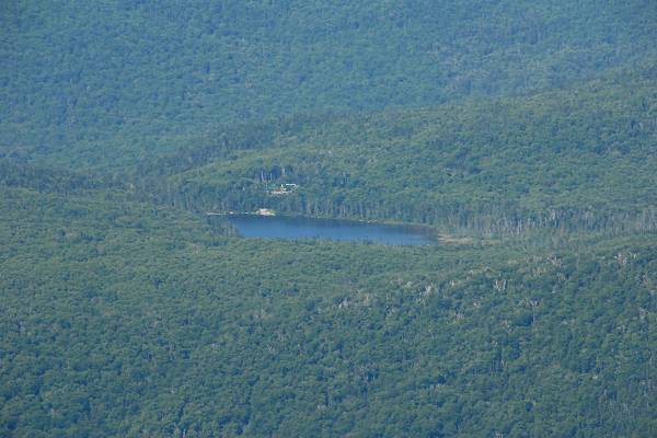
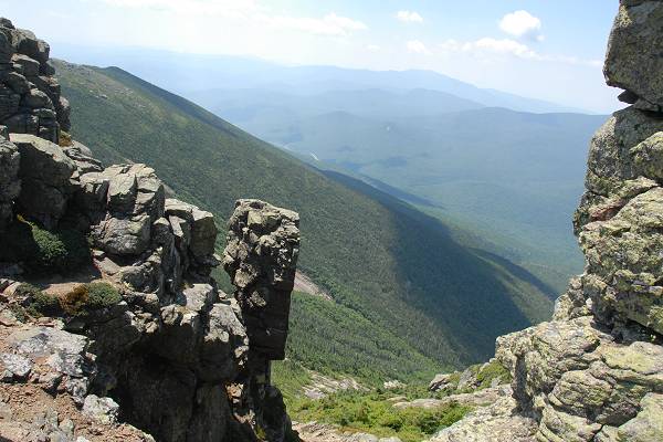
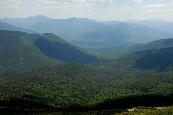
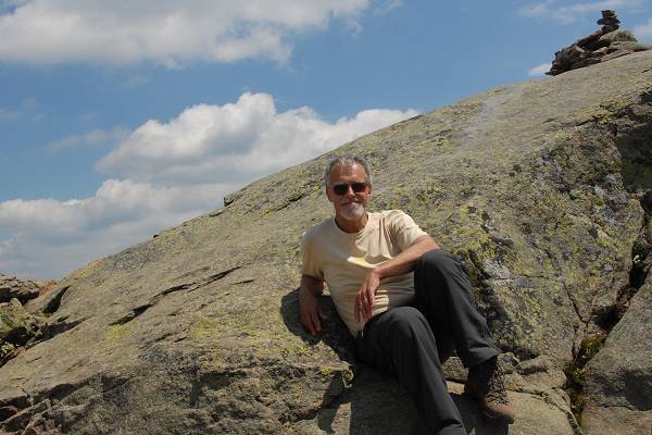
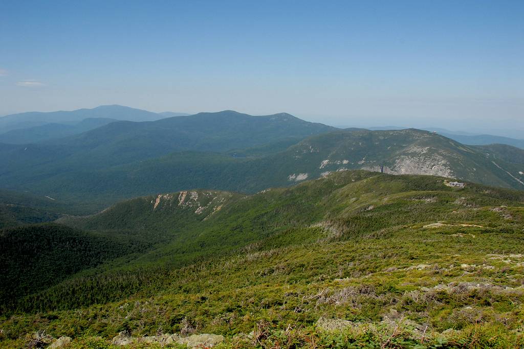
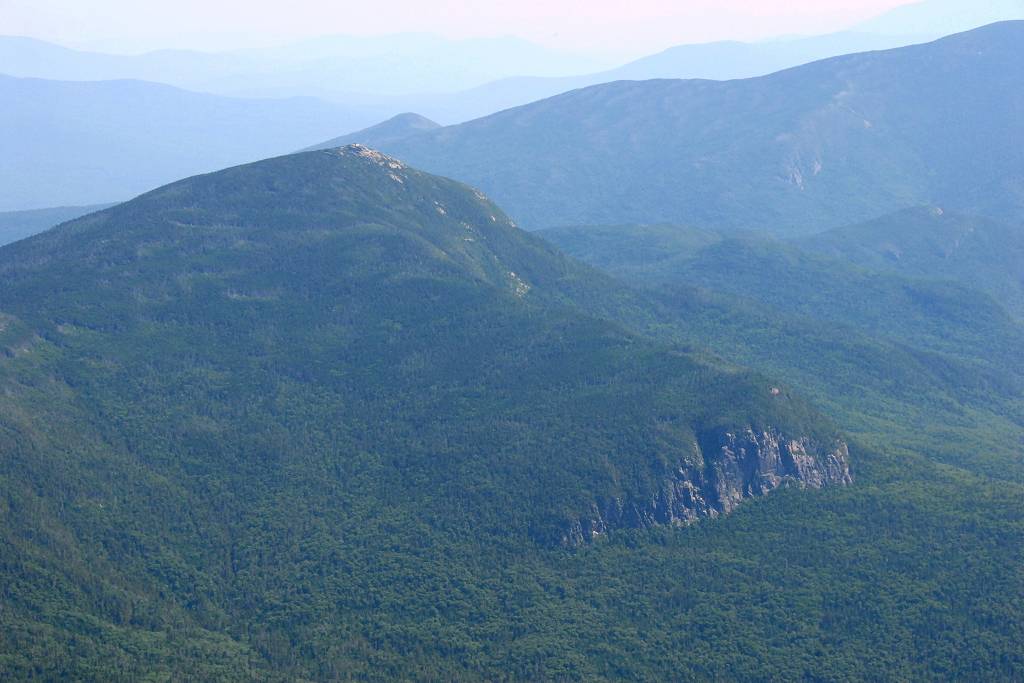
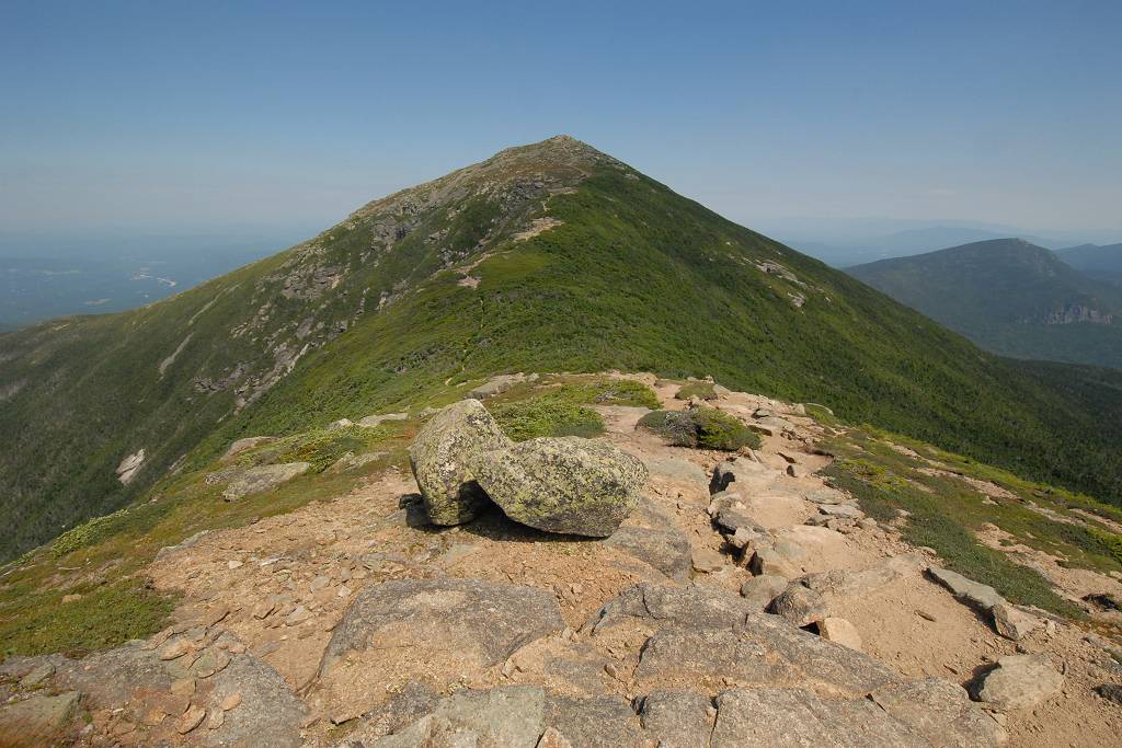
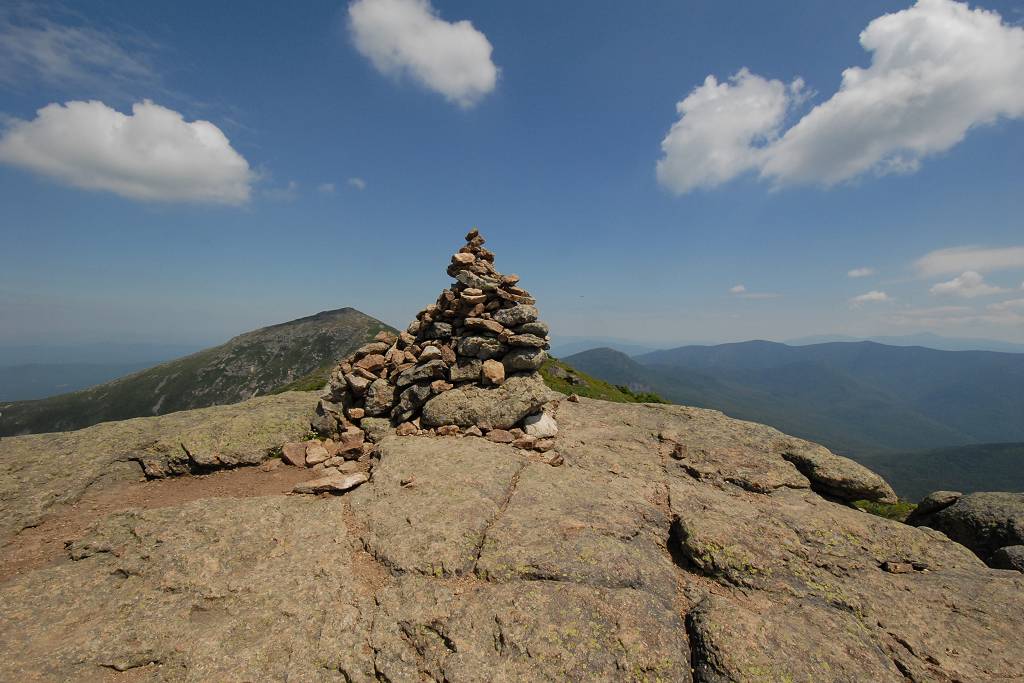
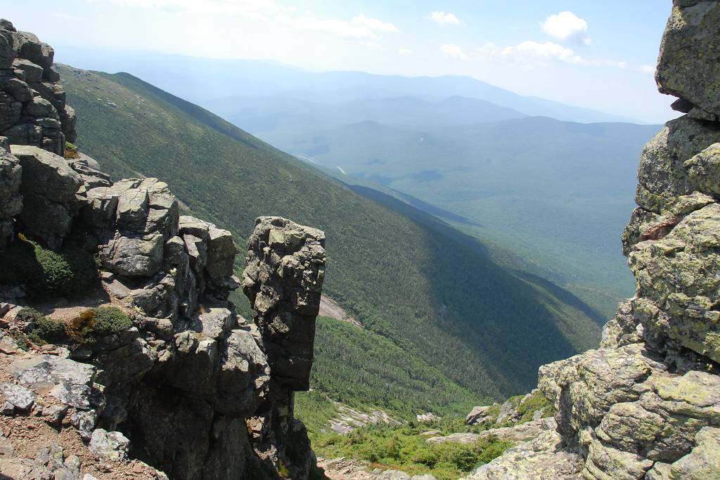
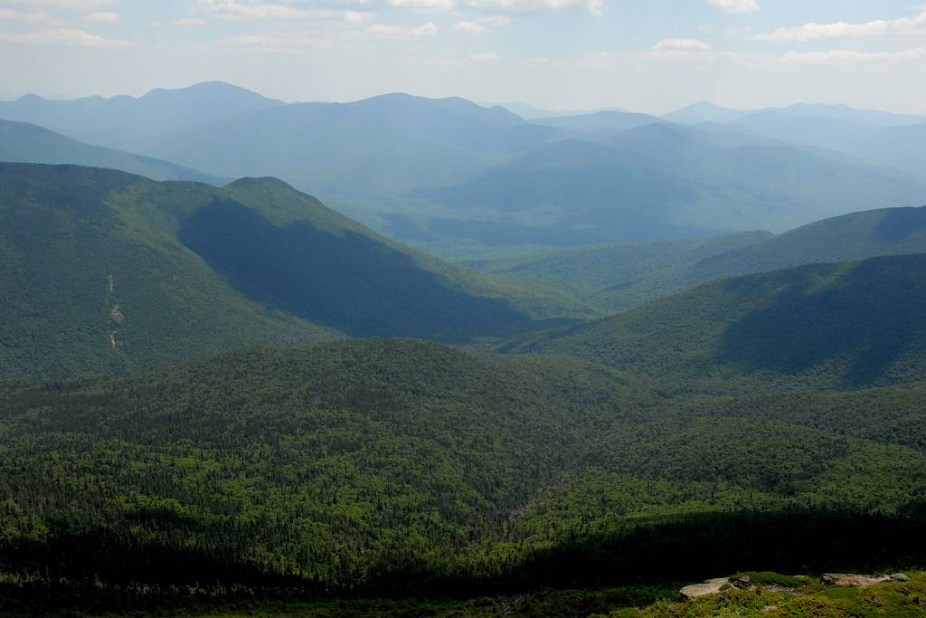
I arrived at the Lincoln Summit just a little before noon and there was perhaps an equal number of people up there. It was VERY windy on top of both Lafayette and Lincoln, especially on the west sides. I found a nice spot on the east side of the Lincoln summit overlooking the Pemigewasset Wilderness and Owl's Head where the wind was not very bad and stopped there to have my lunch.
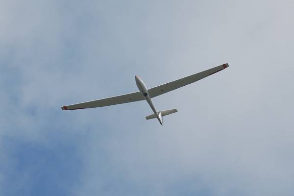
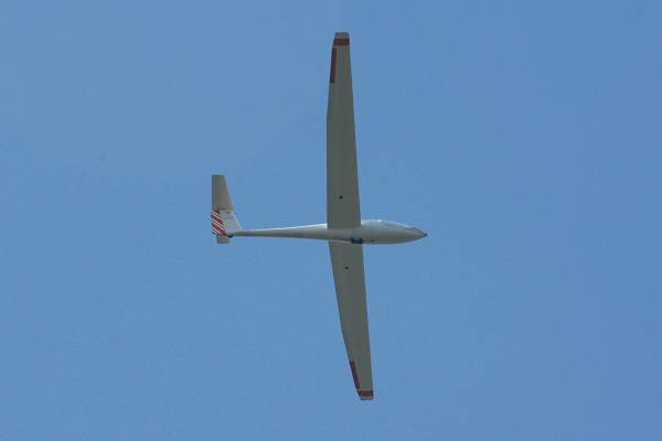
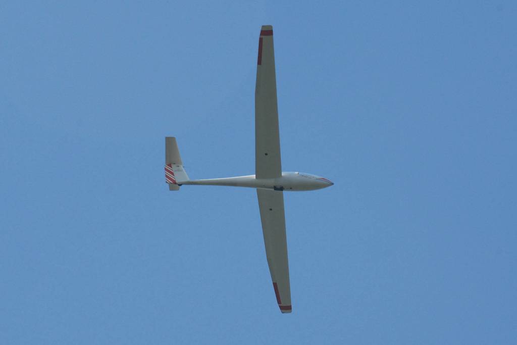
I had a very nice view of a glider being brought up by a tow plane and then being released just a little north of Mount Lafayette. It was fun watching it ride the thermals and soar back and forth along the ridge while I was eating my lunch.
|
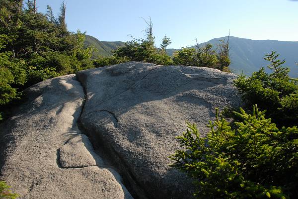
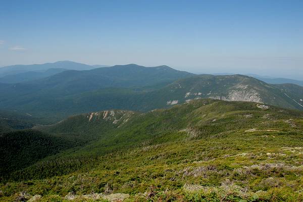
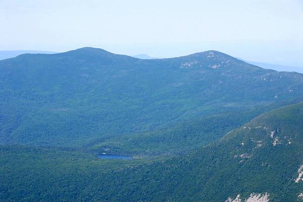
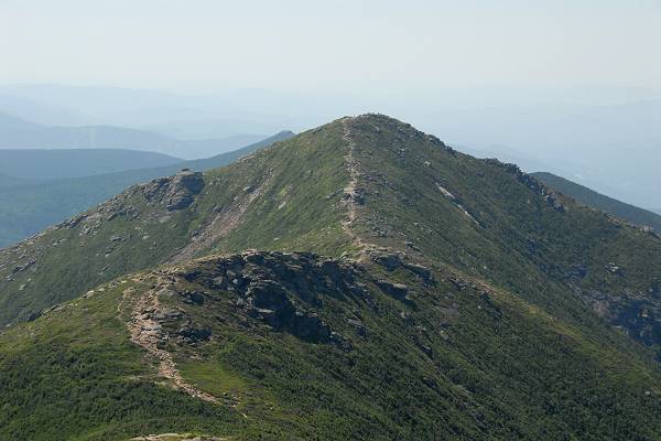
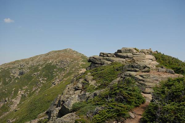
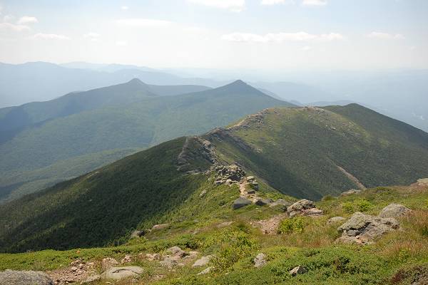
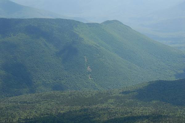
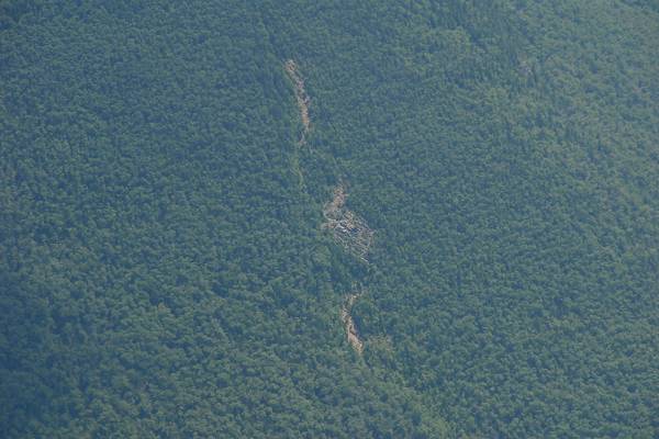
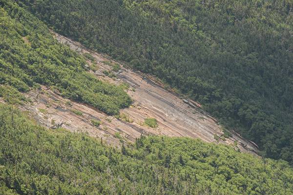
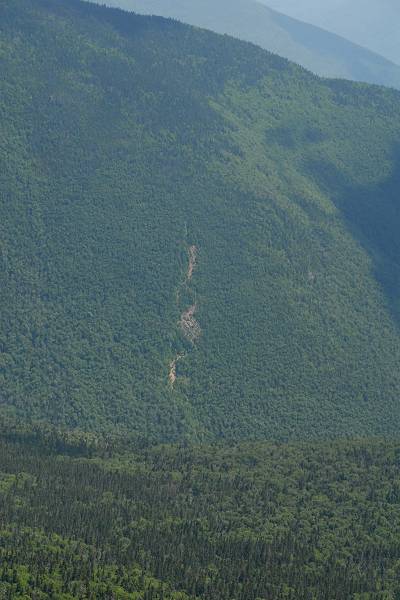
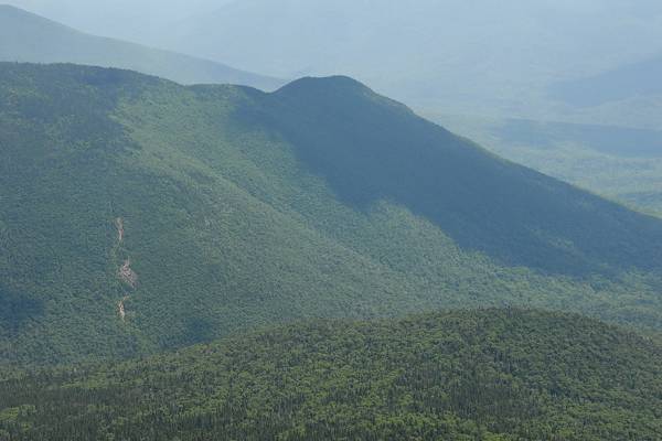
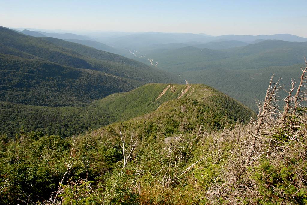
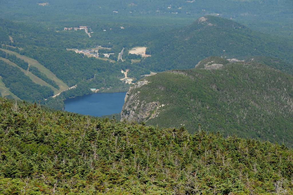
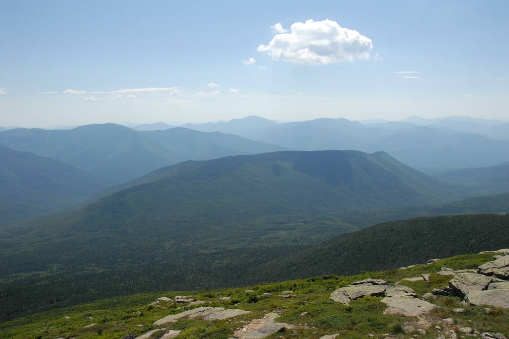
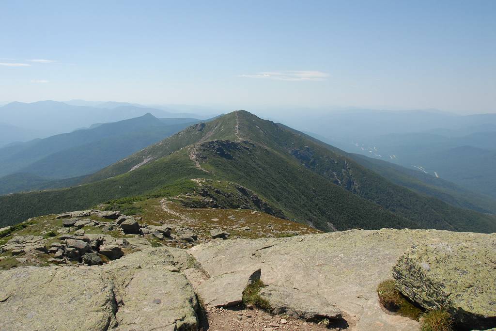
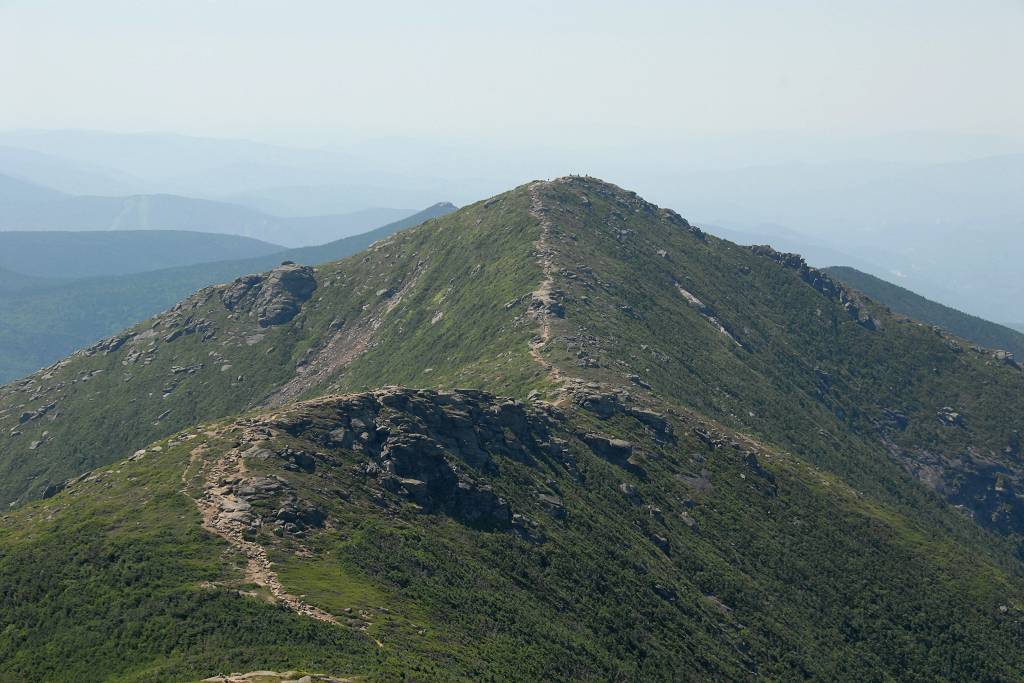
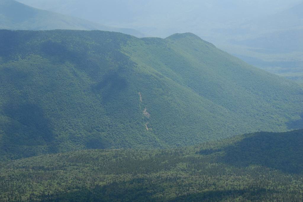
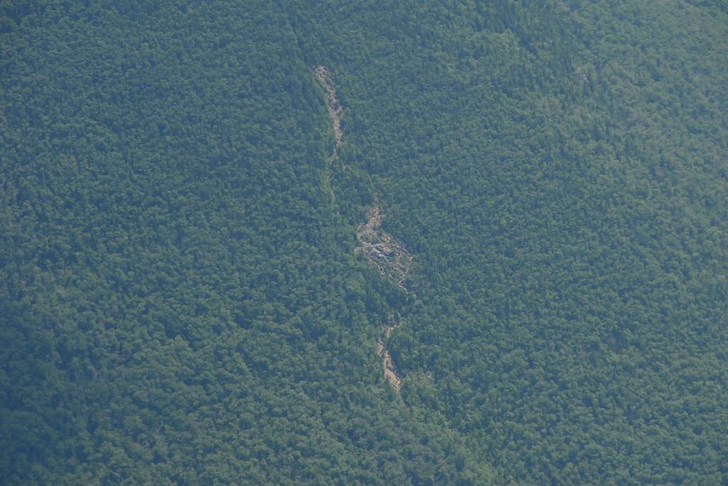
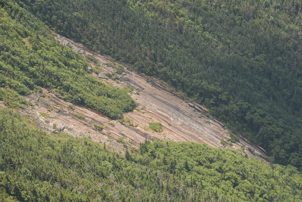
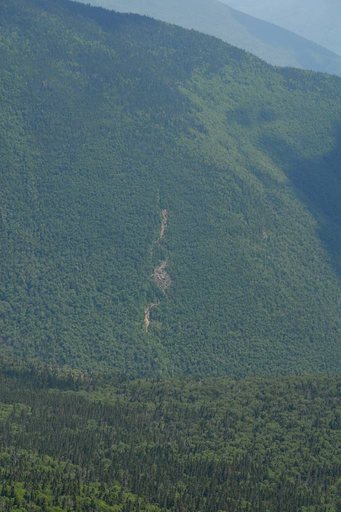
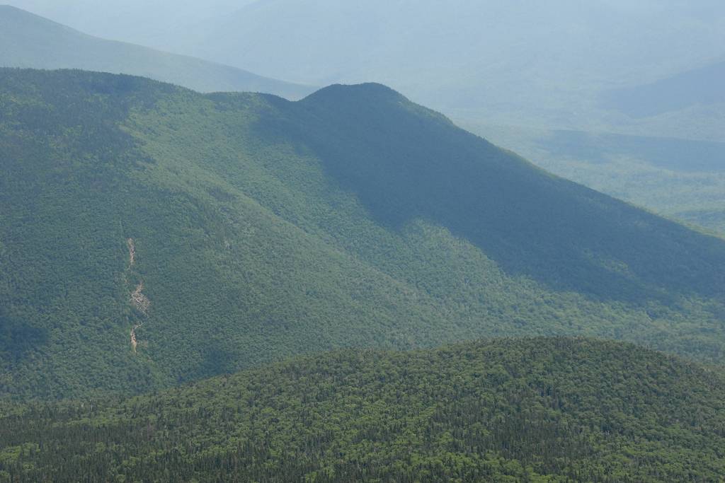
I left the Lincoln summit around 12:20pm and started down along the ridge towards Little Haystack Mountain. I had some really nice views along that section of the ridge and it was nice to get some nice views of Owl's Head and the area around it since I would be attempting the hike/climb sometime in the fall. I also got some nice views of the Lincoln Slide and as soon as I saw it and the area below it I immediately gave up on the idea of going to Owl's Head that way. It could not possibly be any easier than the long hike in from the east side, even if it was perhaps fewer miles.
|
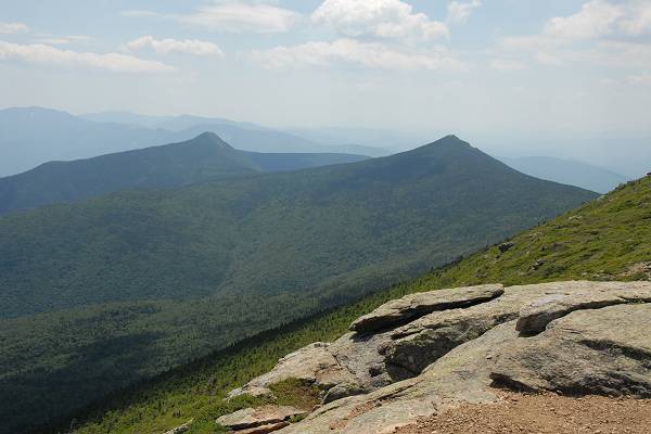
I arrived on top of Little Haystack right around 1pm and there were lots of people up there. I did stop to take some photos and also eat a little trail mix before starting down the Falling Waters Trail but there were way too many people on the summit there for my liking.
|
The clouds had continued to increase as I made my way along the ridge and then down the Falling Waters Trail and by mid-afternoon there were lots of clouds in the sky. They were not storm clouds though so no worries.
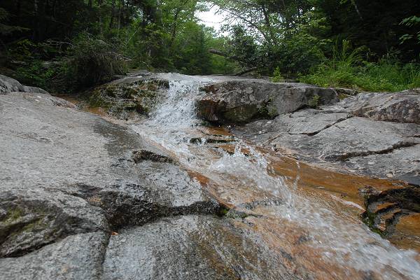
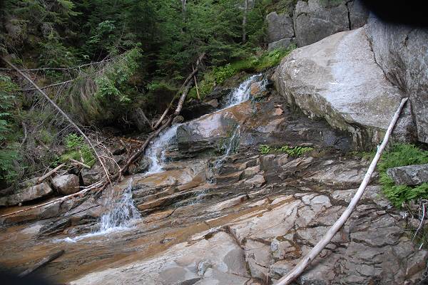
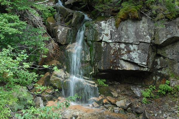
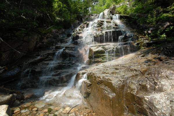
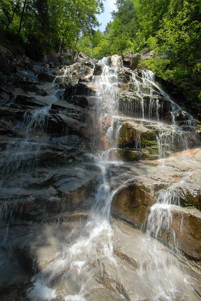
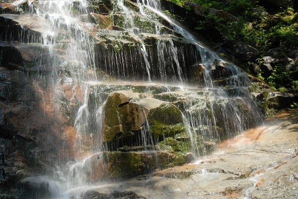
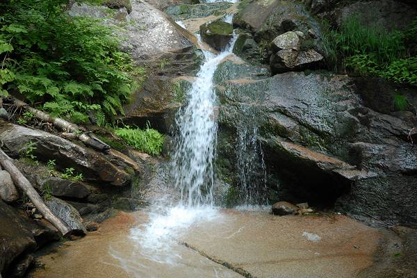
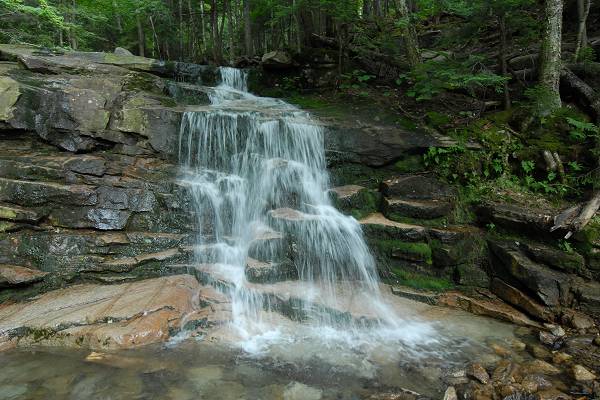
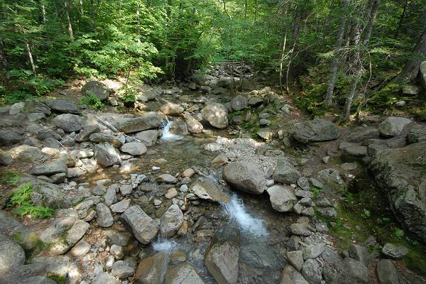
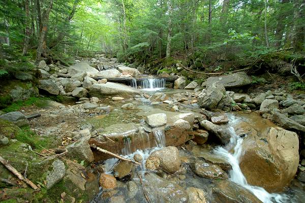
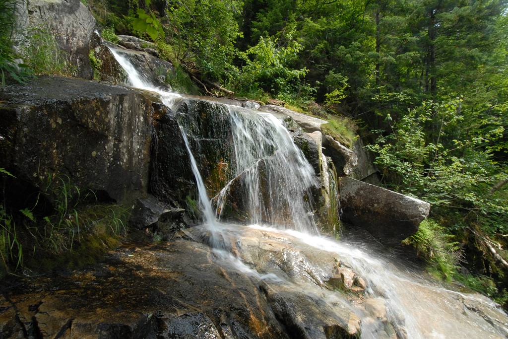
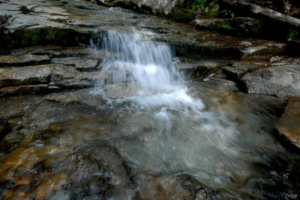
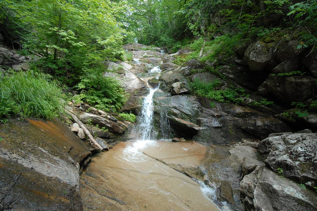
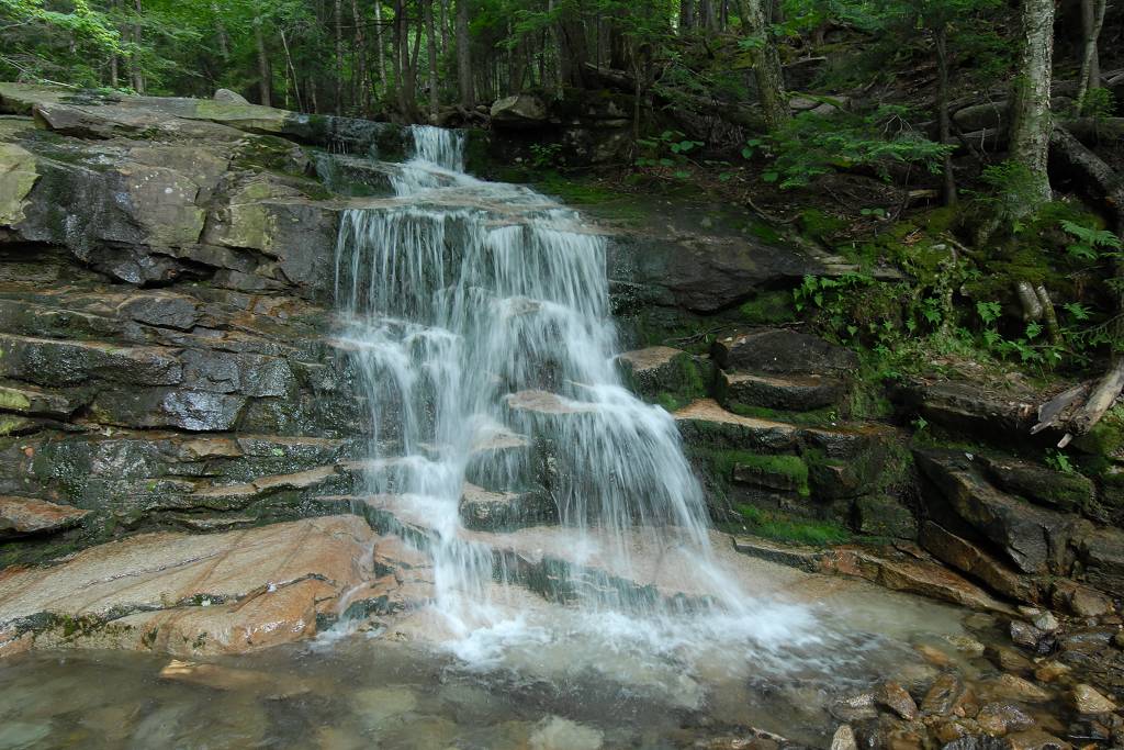
The hike down from Little Haystack Mountain along the Falling Waters Trail was very nice and the waterfalls were very pretty. There was not nearly as much water flowing down here as there had been coming down Beaver Brook when I climbed Mount Moosilauke in early June but they were still very nice.
|
In spite of all the stops I actually finished about 30 minutes earlier than expected which was good because I hit all kinds of traffic on the way home.
|
|
|---|
|
|---|


