|
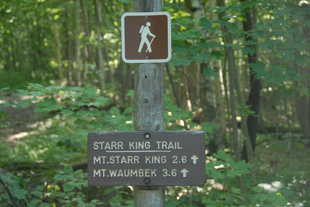
Mount Waumbek via the Starr King Trail |
|---|
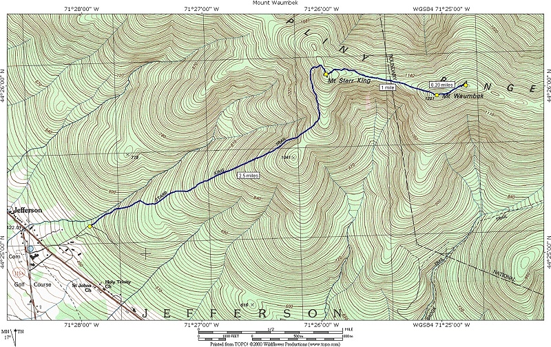
This day hike involved going up the Starr King Trail to the Mount Starr King and then to Mount Waumbek and returning the same way.
|
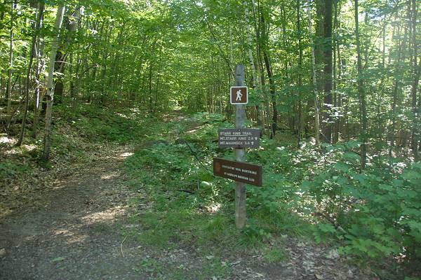
The starting point for this hike was the small parking area at the end of Starr King Road in Jefferson.
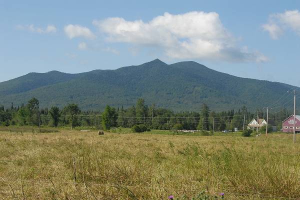
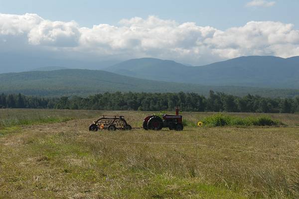
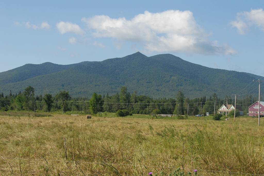
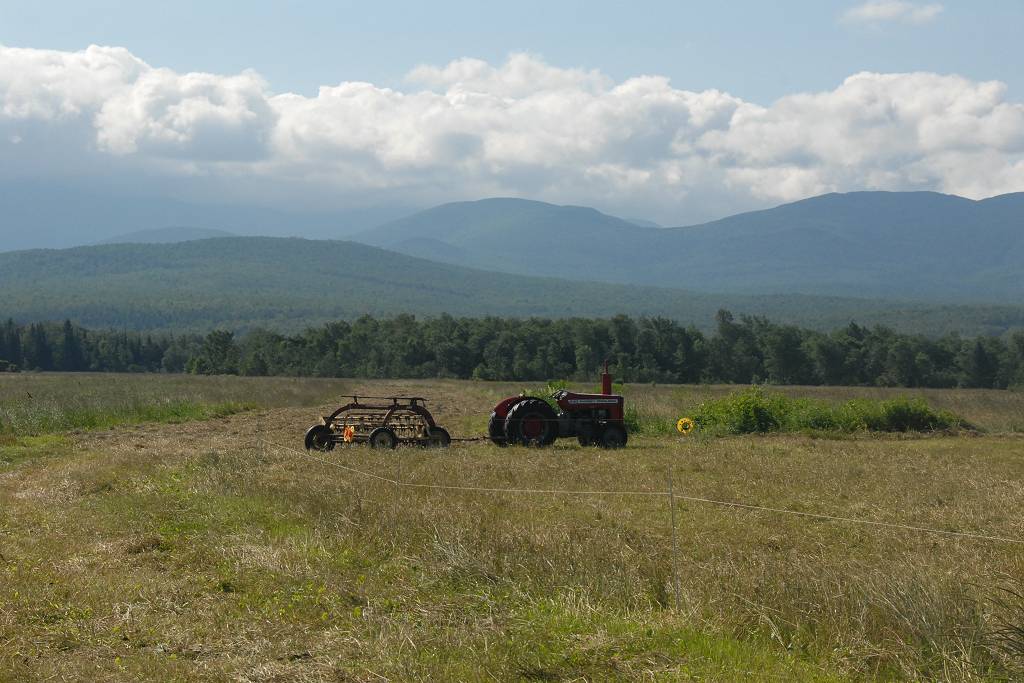
This hike was started much later than normal due to some morning obligations and I did not arrive at the trailhead until almost 3pm. Based on what I had read as well as from talking to other hikers I was pretty sure this was going to be a quick and easy hike and I was not that worried about finishing it before dark. I made one brief stop on the way up just for some photos of the mountains and some very big fields.
|
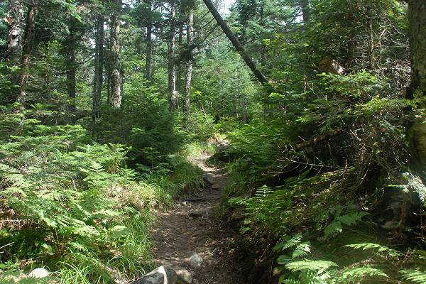
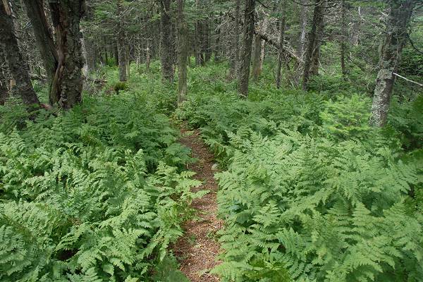
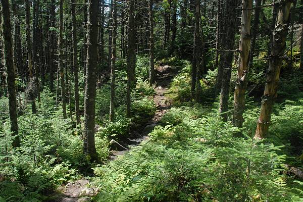
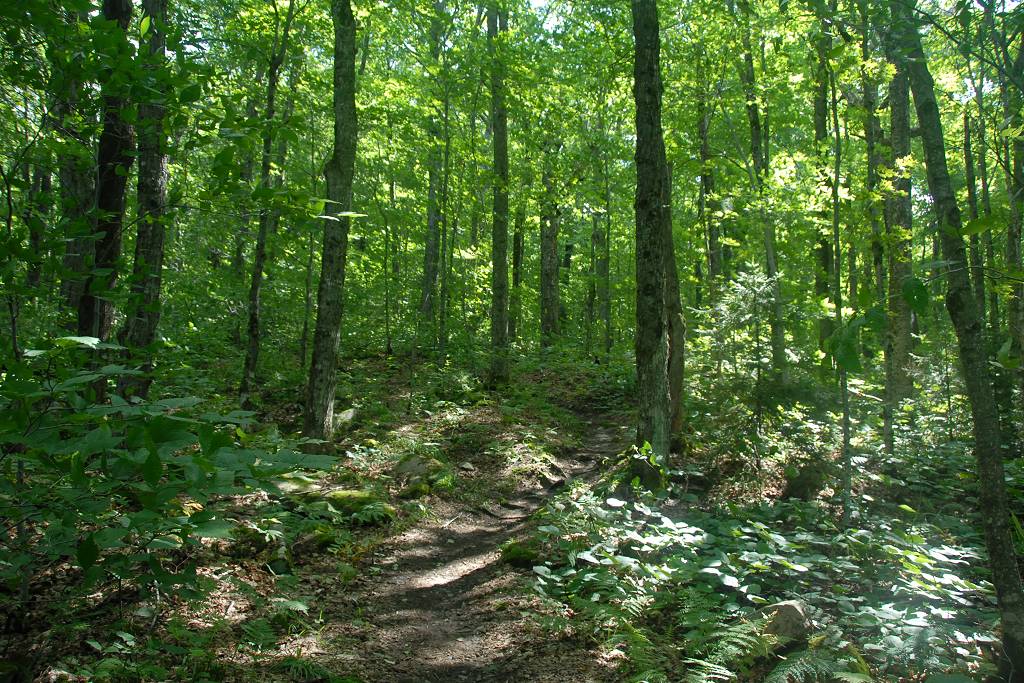
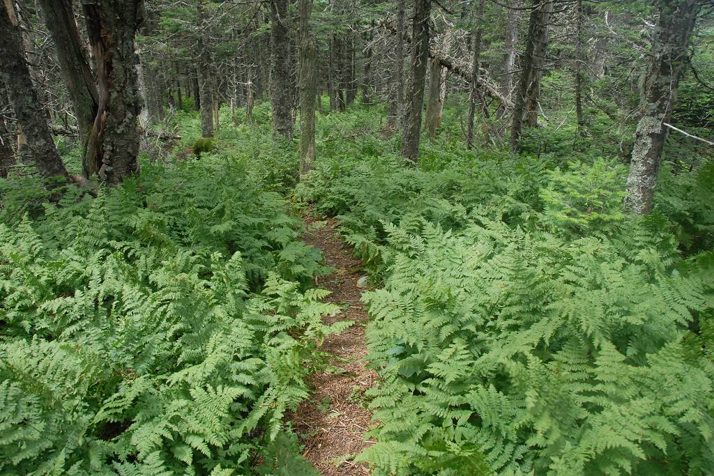
The lower portion of the Starr King Trail followed an old logging road and climbed very gradually at first. The road bed ended after less then half of a mile though and the trail turned a little towards the south and started climbing the ridge.
|
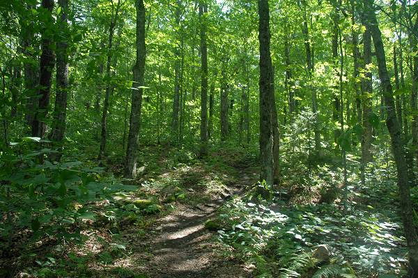
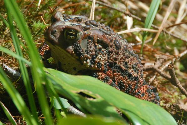
The forest itself was pretty but there really were no good views to be had along the lower portion at all. Luckily I did stumble across a pair of very sizeable toads and I stopped for a while to take some photos of them.
|
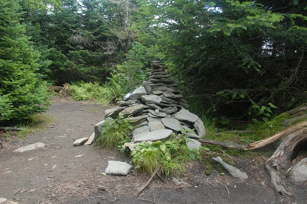
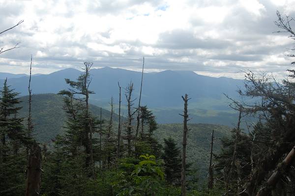
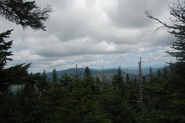
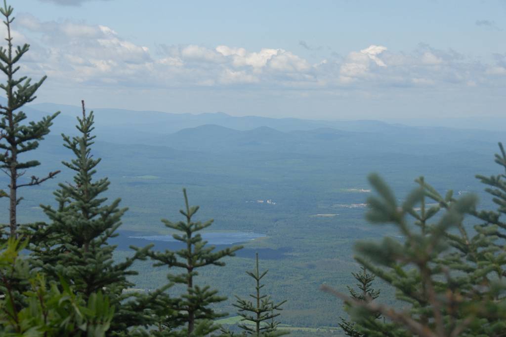
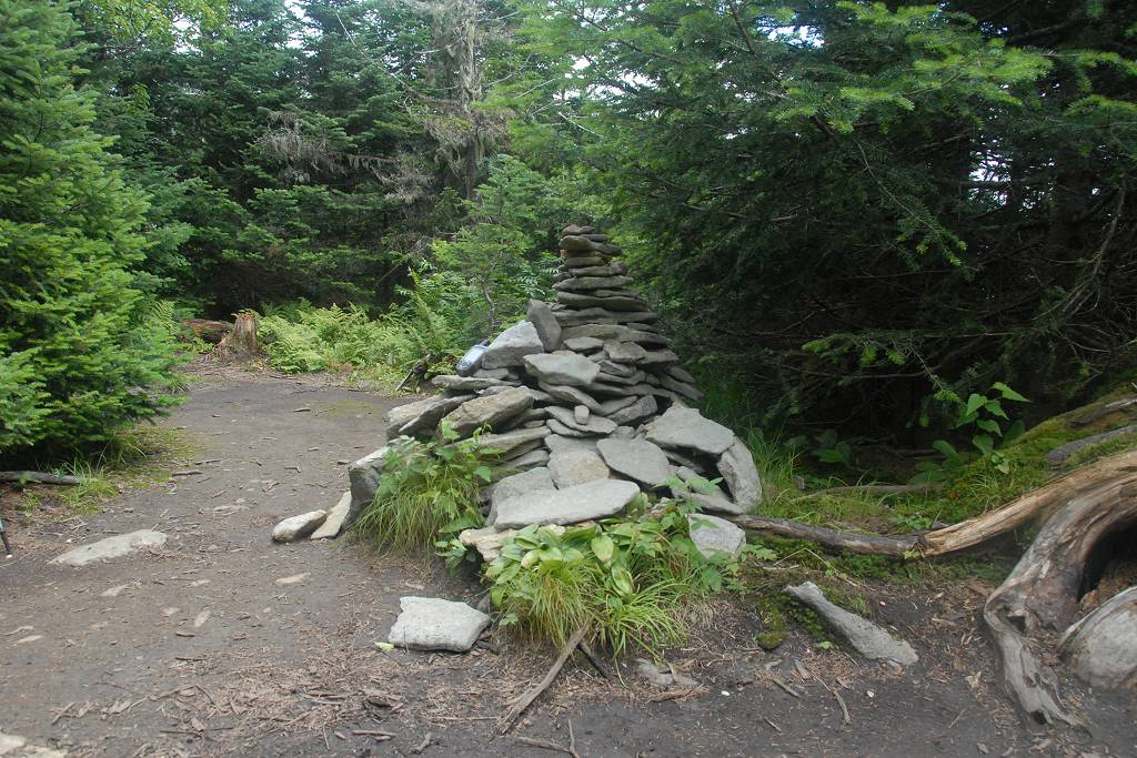
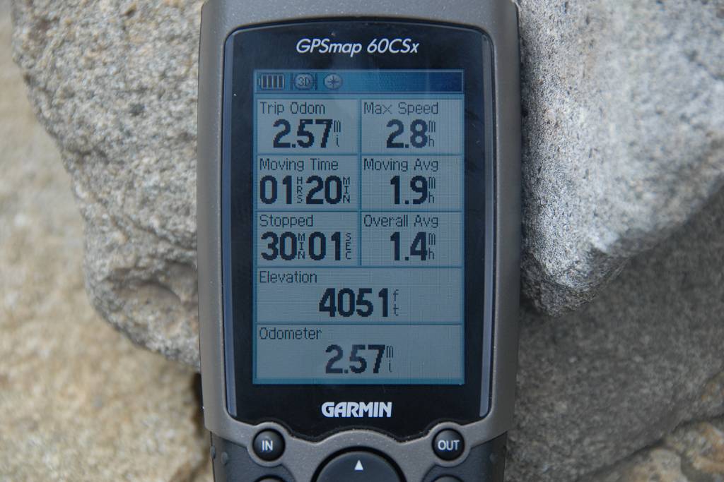
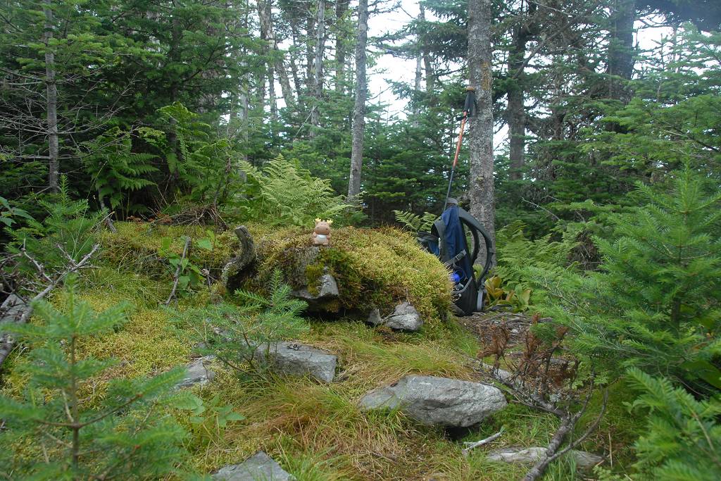
As the trail approached the top of Mount Star King is switched from hugging the center of the ridge to hanging more off of the north and west sides. The first good view comes at the top of Mount Starr Kind and even that is very limited and only in one direction.
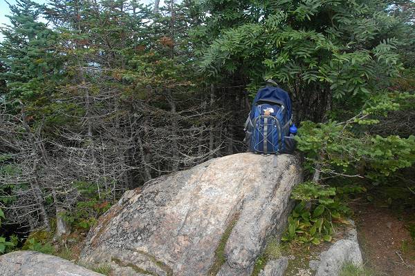
600 x 400 1024 x 683 Summit of Mount Starr King |

600 x 400 1024 x 683
View from the summit of |
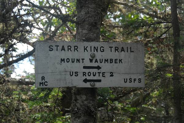
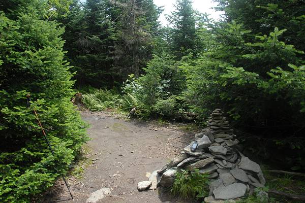
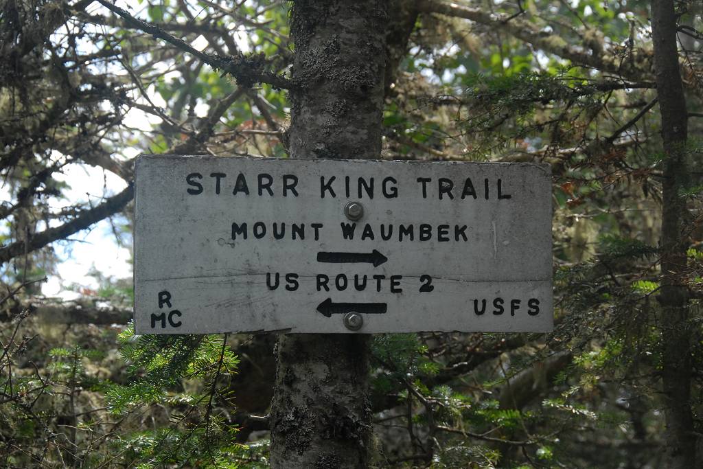
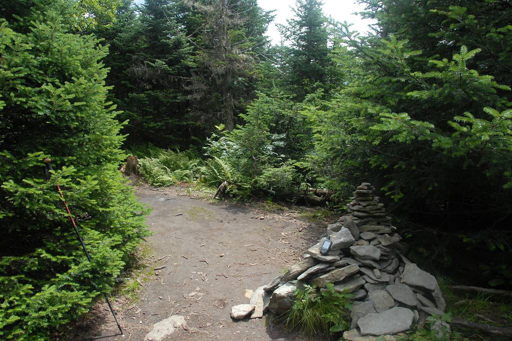
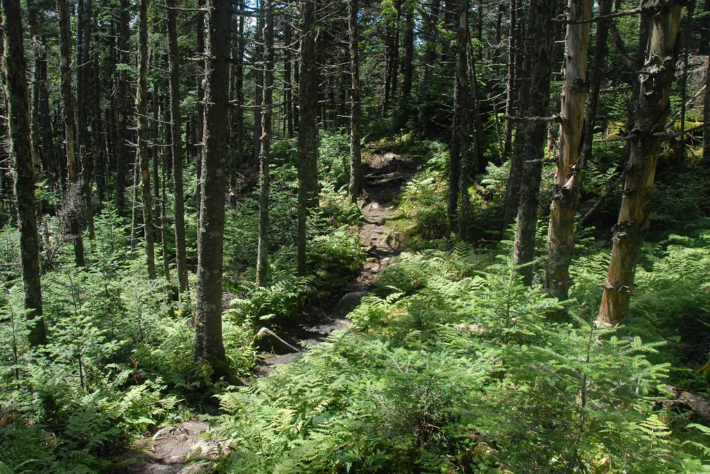
600 x 400 1024 x 683 On to Mount Waumbek |
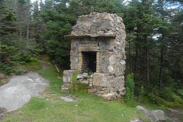
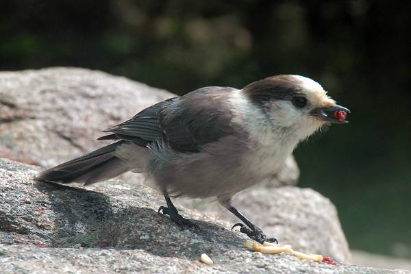
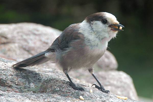
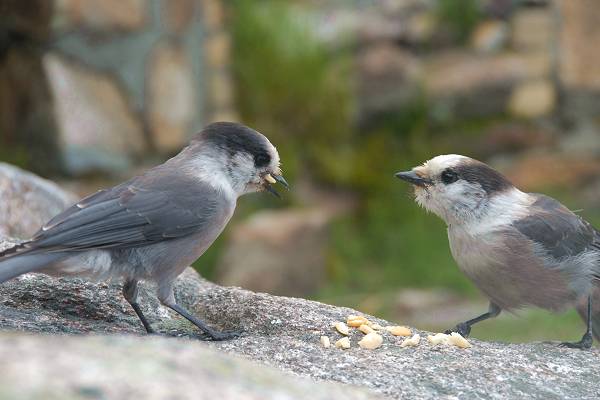
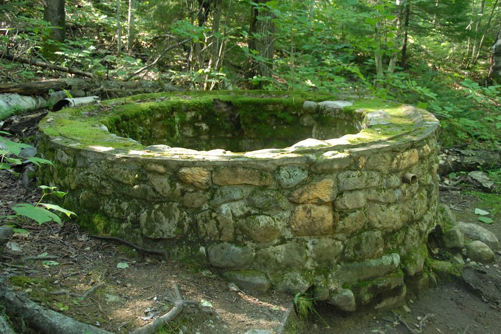
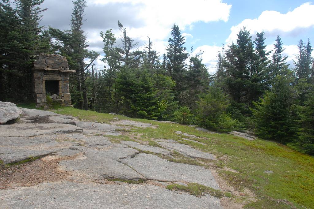
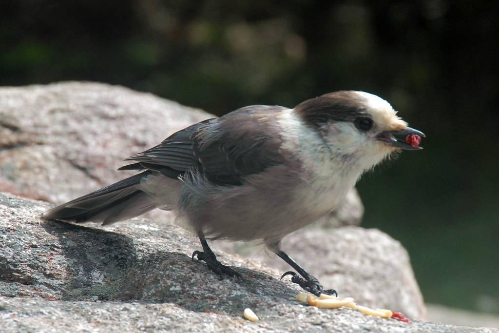
Just to the east of the Mount Starr King summit is a clearing where there was once a cabin. All that remains now is the fireplace and chimney. I stopped there briefly to much on some trailmix and ended up sharing it with first one and then two gray jays. After the first one got his fill he flew off and returned with a friend.
|
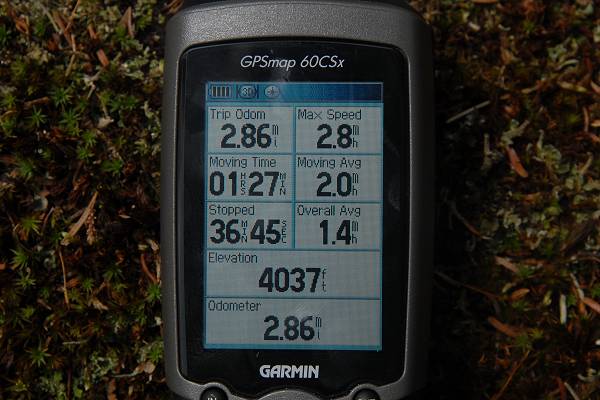
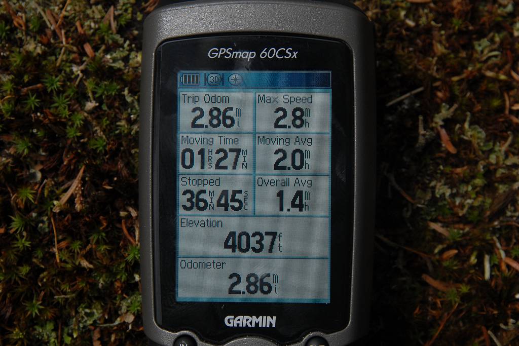
I made it to the top of Mount Waumek just a half of an hour after that and there were no good views from up there either.
|
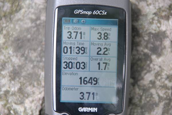
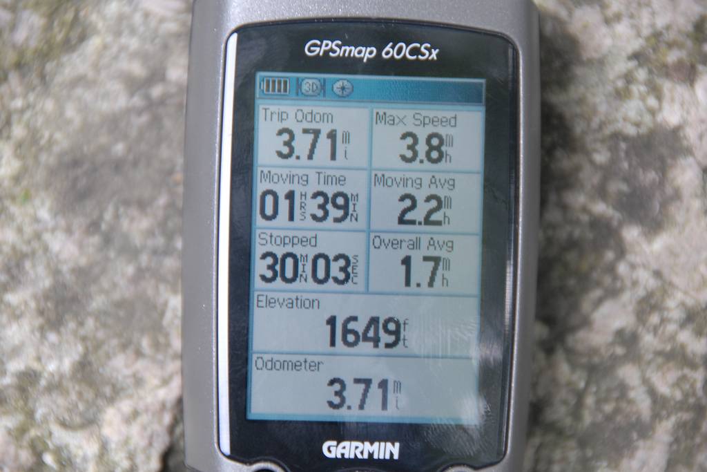
I also continued to the east to get the other summit which I read somewhere was usually done by "purist" peak baggers. I have no idea what that means as Mount Waumbek itself is just barely over 4,000 feet and according to my GPS the eastern peak was 14 feet lower. But for what it's worth I visited both.
|
The hike back down was quick and I made it back to the car just a little after 7:30pm.
I caught a lacing from my hiking boot on a root on the way down, got spun around and landed on my butt. Luckily I was probably less then 100 yards from the end of the trail when this happened as my left knee seemed to take the worst of this and it was a little painful to walk on it.
|
|
|
|---|
|
|---|


