|
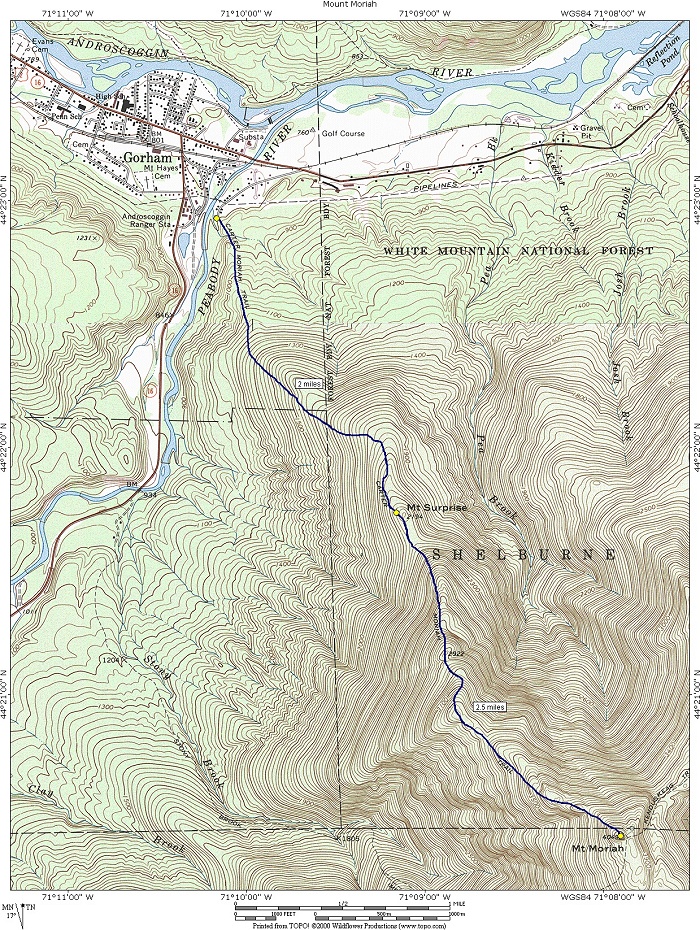
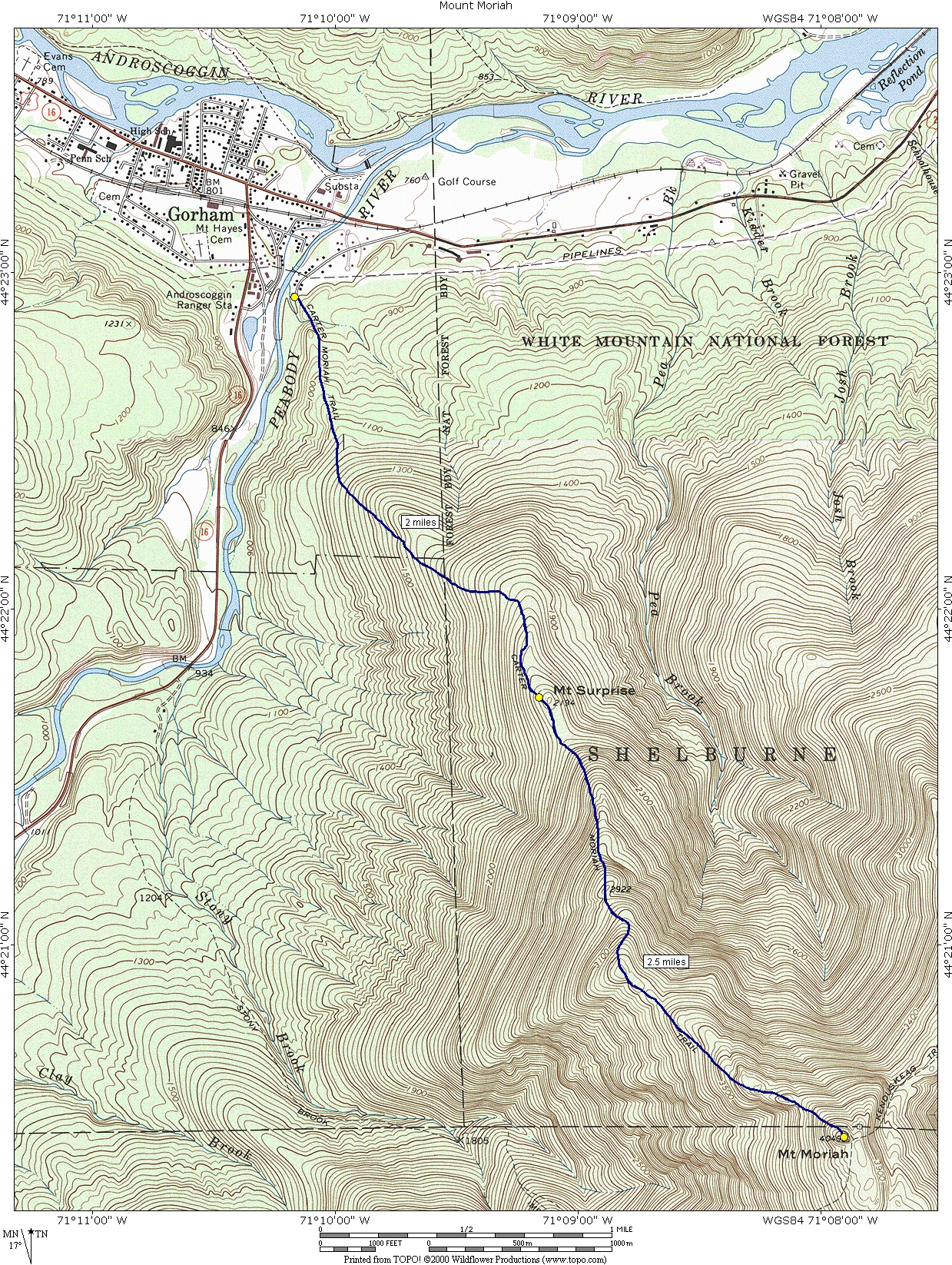
Mount Mohiah via Carter-Moriah Trail |
|---|
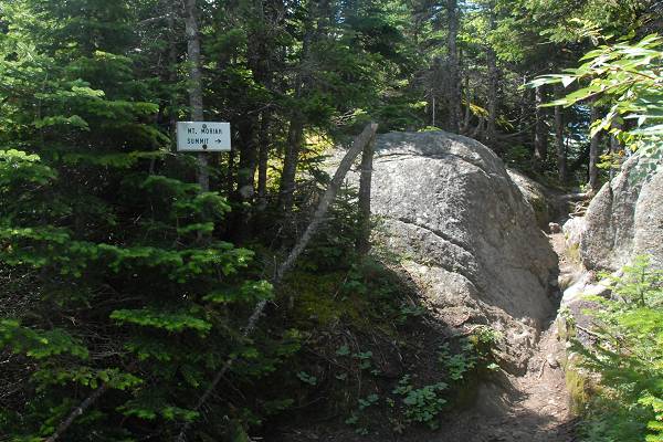
This day hike involved going up the Carter-Moriah Trail to Mount Moriah and returning the same way.
|
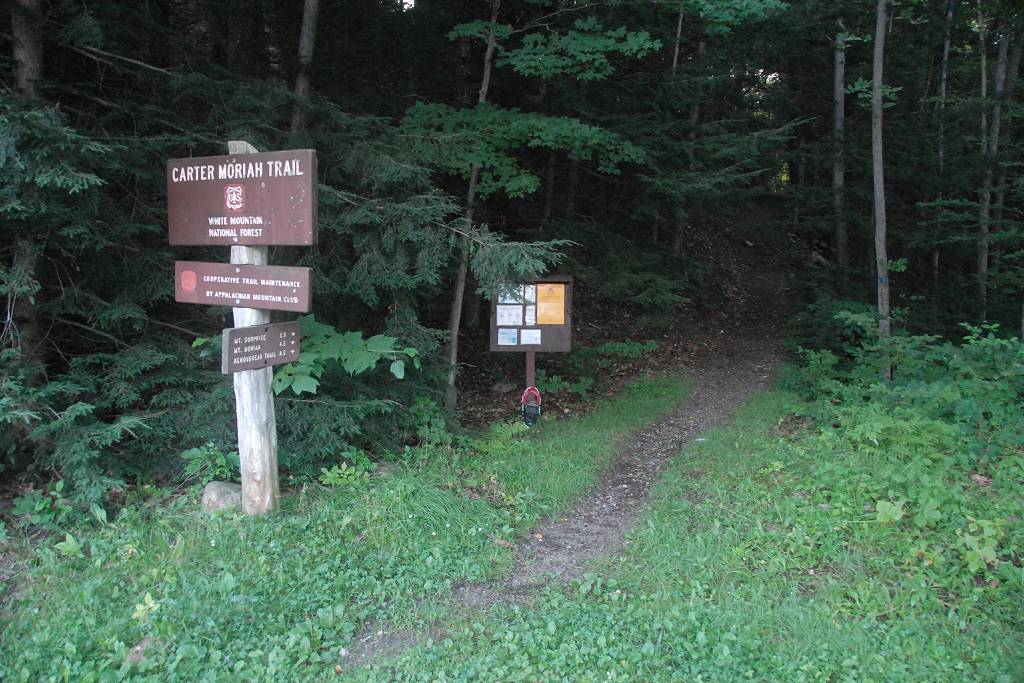
The starting point for this hike was the trailhead at the end of Bangor Street in Gorham.
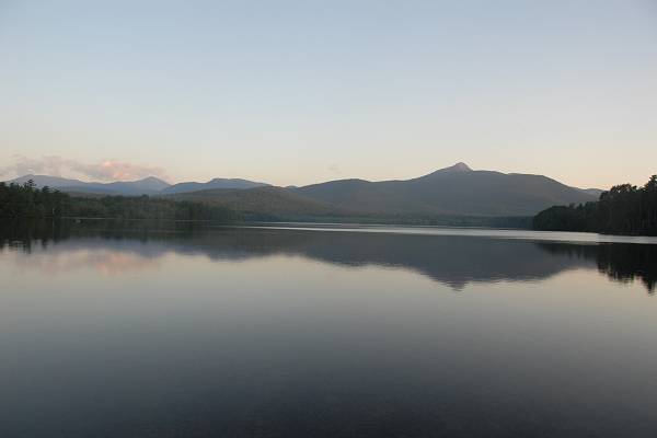
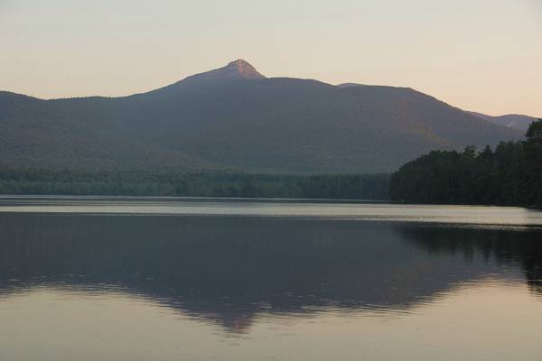
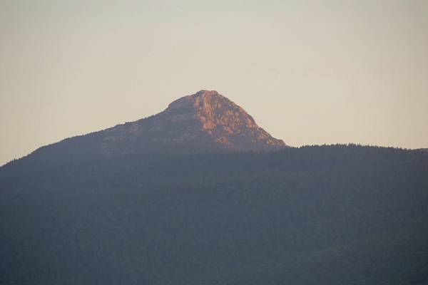
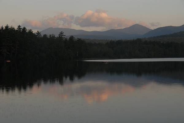
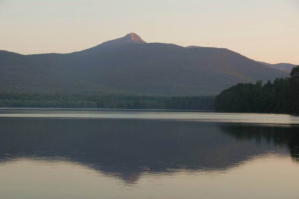
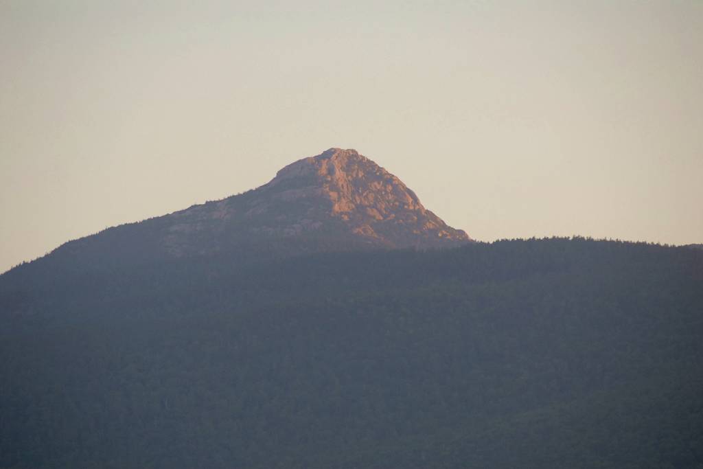
I was up at 4:30 for this one and since I got everything ready the night before I was out of the house by just a little after that. I made a brief stop at Chocorua Lake for sunrise photos and then also a longer stop for breakfast in Conway. I arrived at the trailhead a little after 7.
|
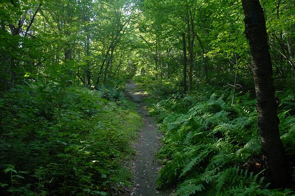
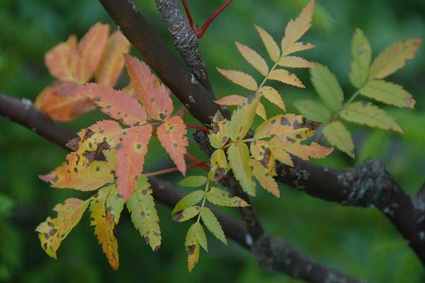
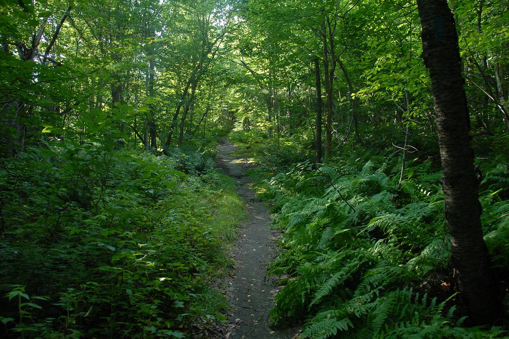
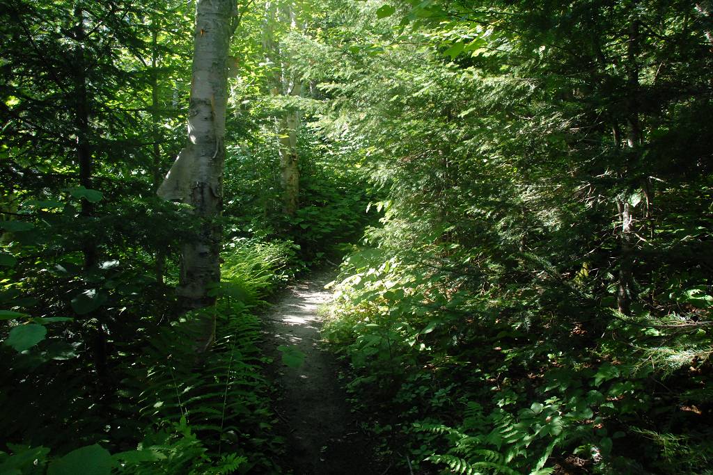
The morning was cool and the lower portions of the trail was quite shady so it was pretty comfortable. The first mile or so of the trail has some gradual ascents mixed with some very short level sections that are more level but it climbs almost constantly with very little let up.
|
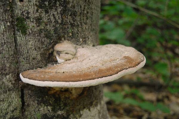
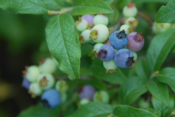
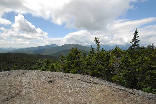
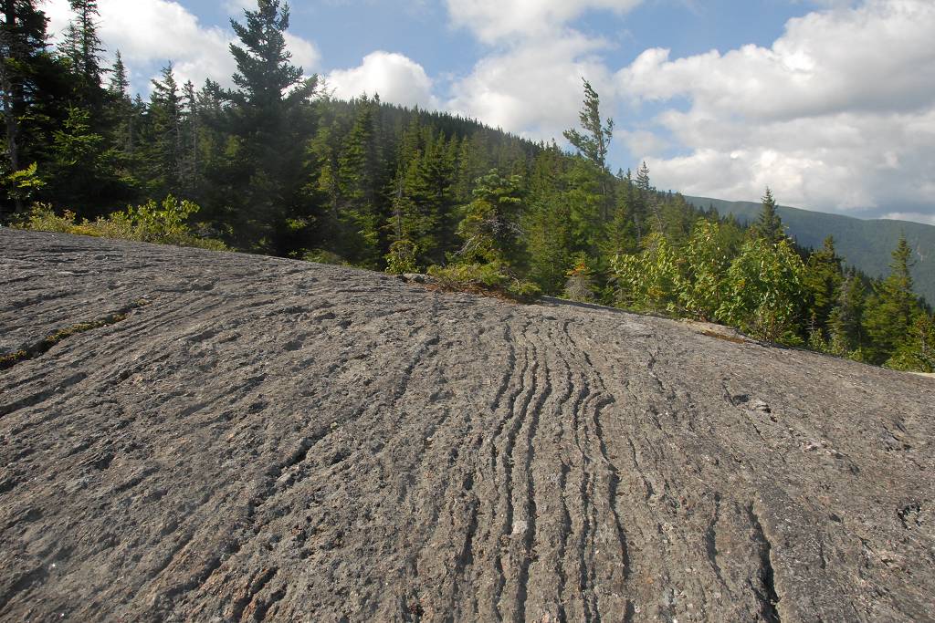
The were lots of blueberries in various stages of ripeness along the trail and I enjoyed picking the really ripe ones and munching on them as I climbed. There is one good viewpoint on some ledges to the west of the trail before you reach Mount Surprise. This looks out over Pine Mountain and the northern portion of Pinkham Notch.
|
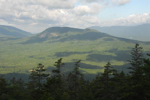
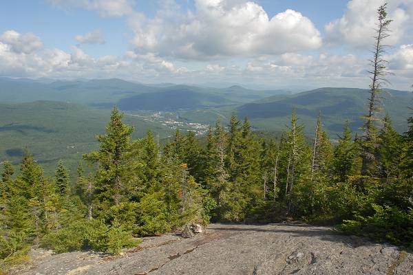
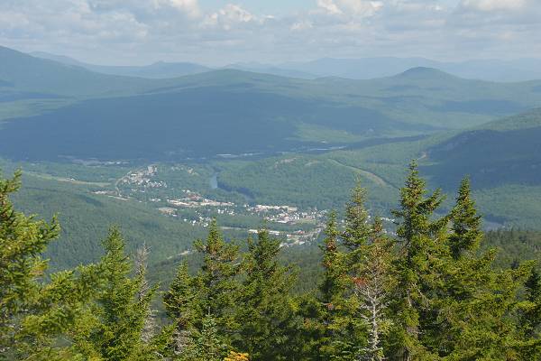
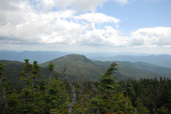
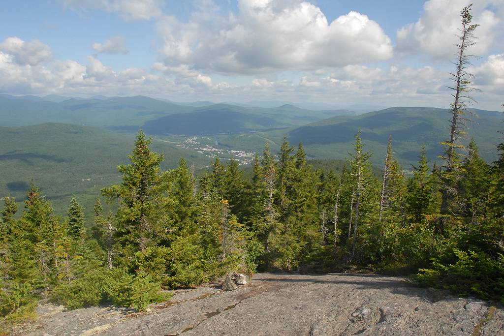
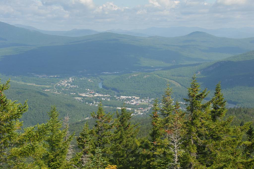
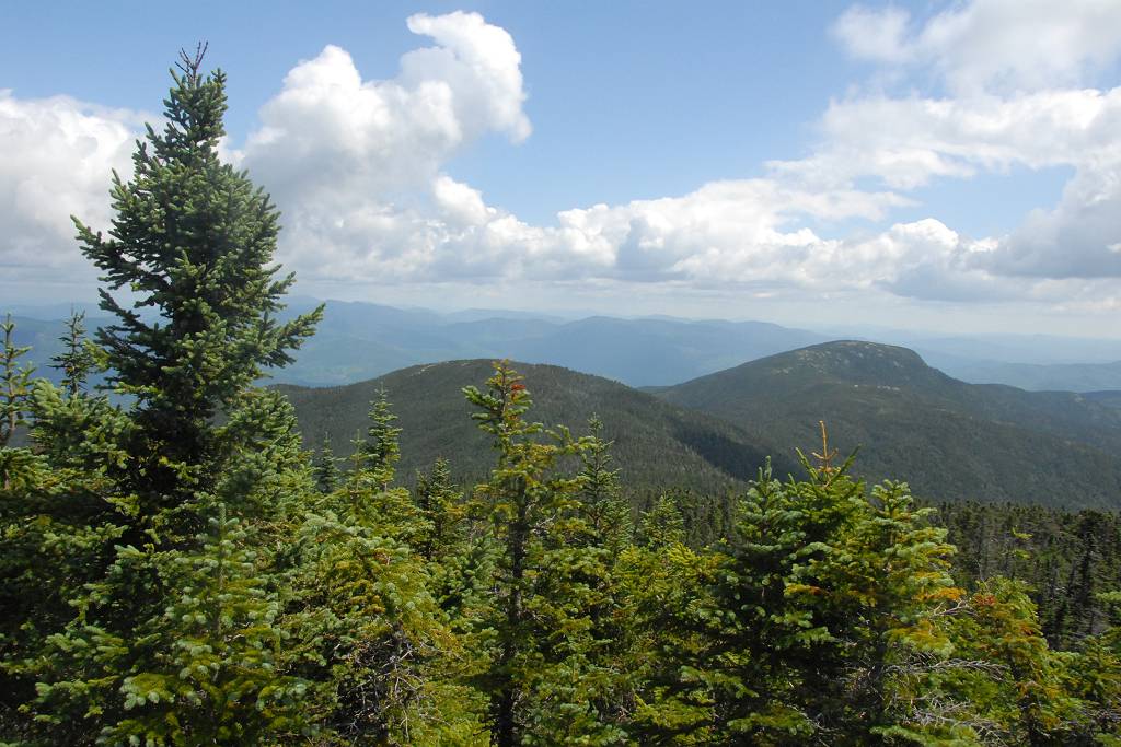
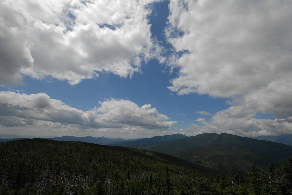
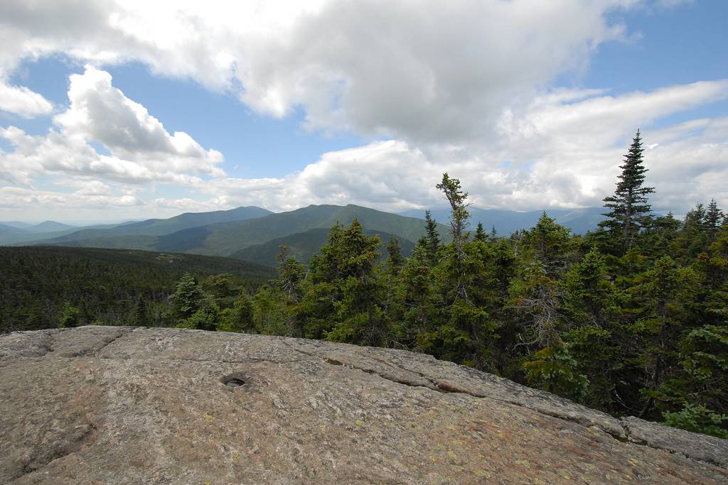
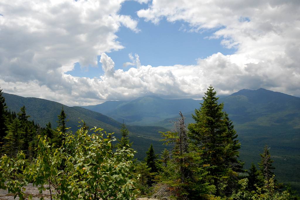
Just beyond Mount Surprise there are lot more ledges with some fantastic views of Pinkham Notch, Mount Washington, the northern portion of the Presidential Range and the town of Gorham. The trail also levels out a little along this section.
|
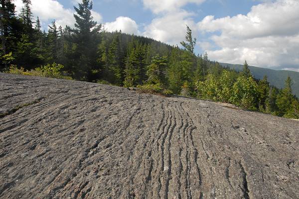
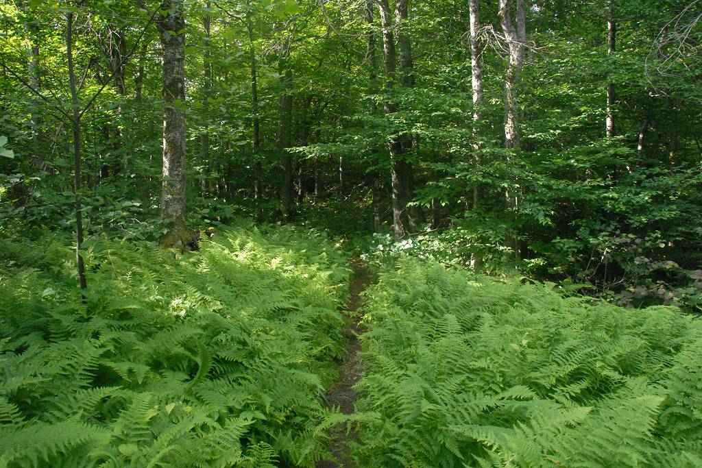
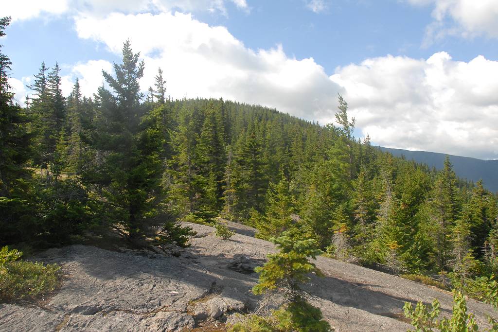
Above the ledges the trail heads back into the forest as it continues to climb the ridge towards Mount Moriah.
|
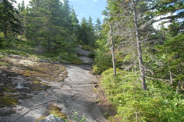
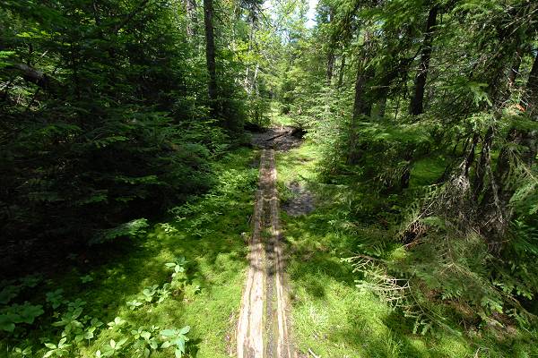
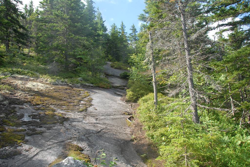
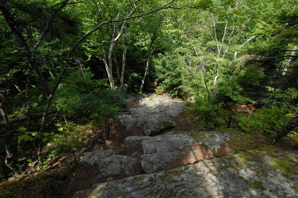
The trail levels out again after climbing steadily for another mile or so. This level section, still about a mile from the summit, does not drain well and was quite wet and muddy when I did this hike. There are some boardwalks along this section but many are not in very good shape and appear to be deteriorating rapidly. In one really wet section the walkway has rotted completely away and I was forced to leave the "trail" and bushwack through the forest around the deep mud and then back to the trail.
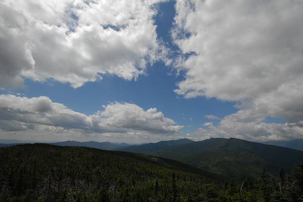
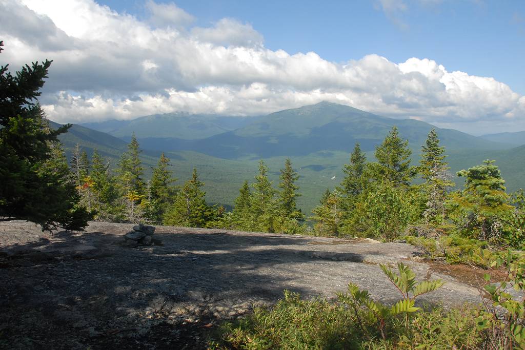
I arrived at the top of Mount Moriah around 11am and there were a few people up there. The view from the top is magnificent and you can see in every direction.
I had some lunch up there and talked with the other hikers a lttle and just basically enjoyed the view. I started back down around 11:30.
|
I did not relish going through the wet section again but at least I knew it was there on the way down and knew how to get around it.
I was also a little concerned about some of the steep rocky sections I encountered on the way up as these didn't seem like they were going to be much fun on the way down but my hiking shoes stuck to the rocks surprisingly well and it really was never a problem.
I made very good time going back down and arrived back at the parking area a little after 2:30.
|
|
|
|---|
|
|---|


