|
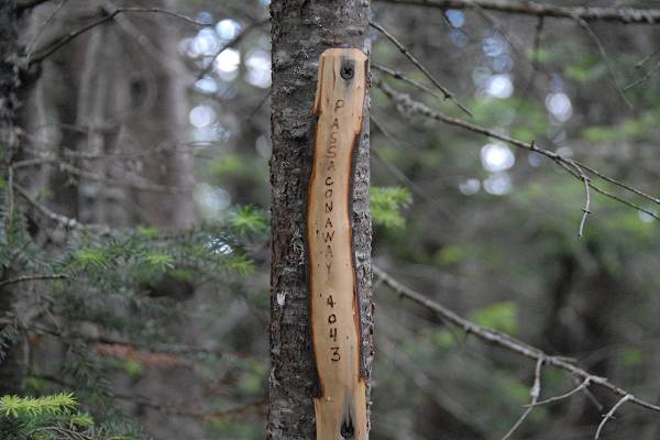
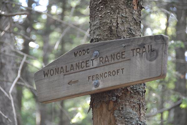
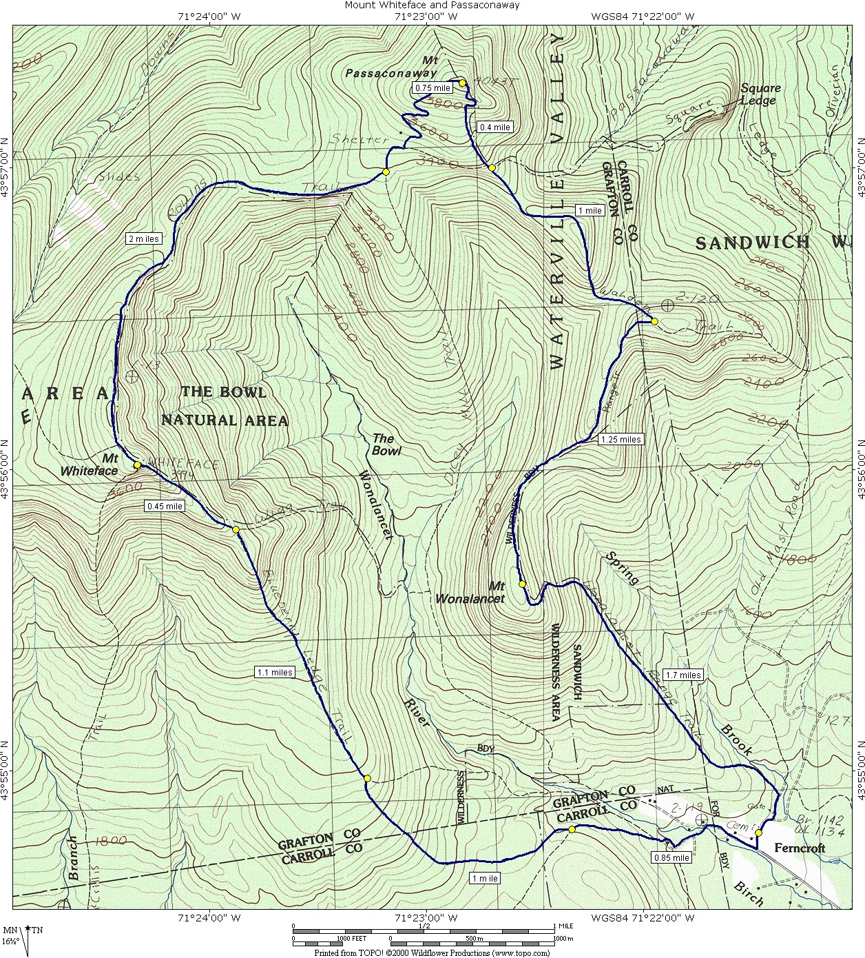
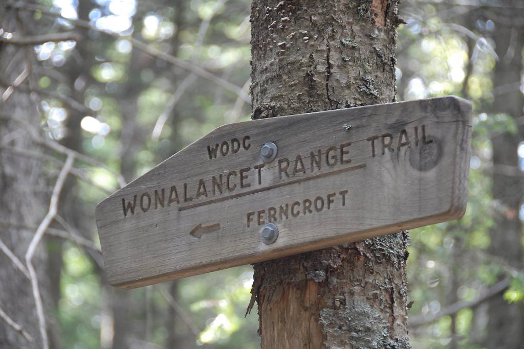
Mount Whiteface and Passaconaway via Blueberry Ledge, Rollins, Walden, Ranger, Mt. Wonalancet and Wonalancet Range Trails |
|---|
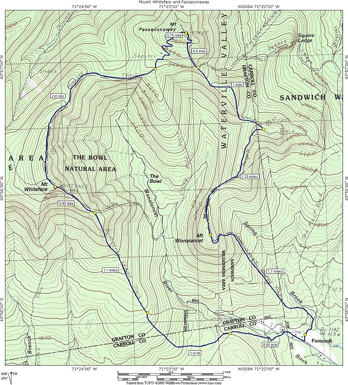
This day hike involved going up the Blueberry Ledge Trail to Mount Whiteface and then taking the Rollins Trail from there across the ridge to Mount Passaconaway. The return trip was via the Waldon Trail, Ranger Traiil and Wonalancet Range Trail crossing the non-descript summit of Mount Wonalancet along the way.
|
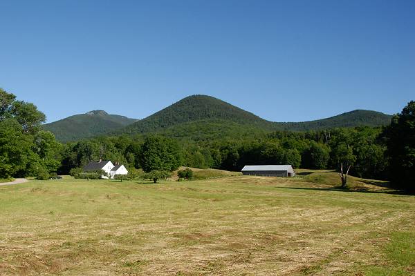
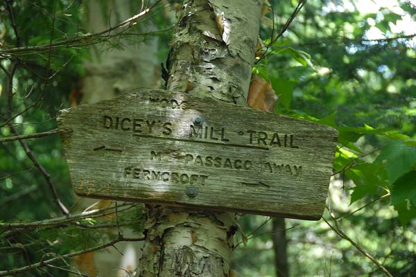
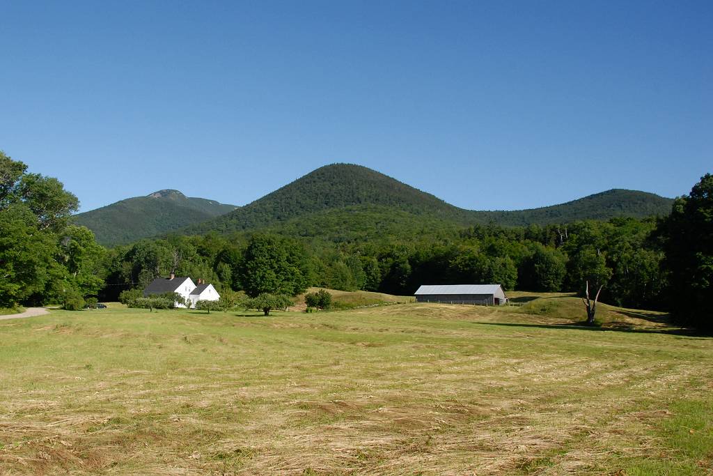
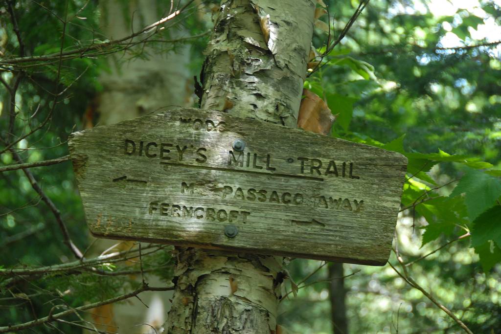
The starting point for this hike was the parking lot at Ferncroft.
The weather was perfest for this one and it was one of those rare hiking days that I live for in the White Mountains. It started off cool with temperatures in the low 60s when I started. I don't think it got much warmer than that until the very end of the hike. I climbed higher as the temperature started to rise and it just seemed like I was always in the perfect zone for hiking. There were some nice gentle breezes up on the ridges that were actually a bit chilling at times but it felt good. When I got back to the lower valley it was still a little warm and humid down there.
The hike itself was a little on the long side at about 12 miles. I finished in just over 10 hours, starting at 8:15 and getting back to the car a little before 6:30.
|
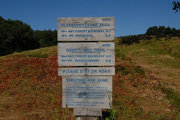
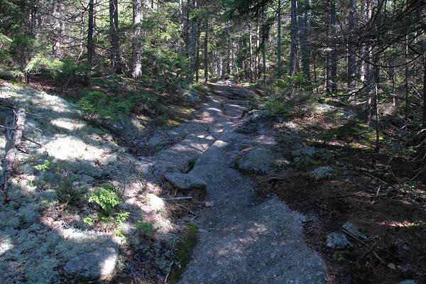
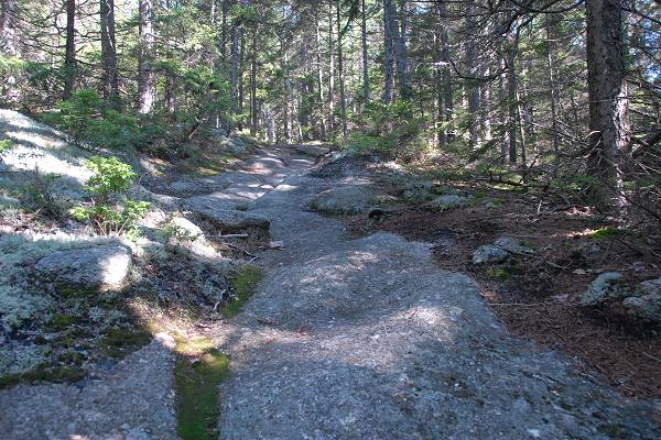
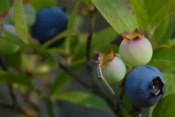
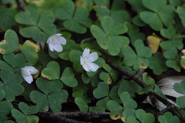
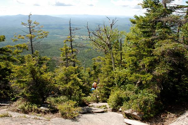
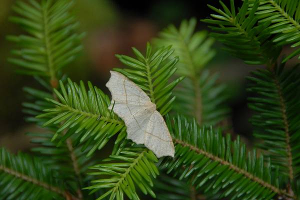
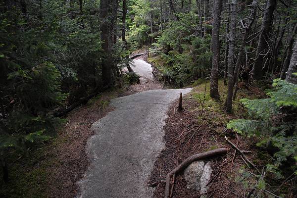
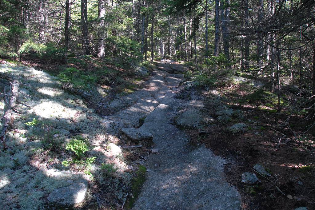
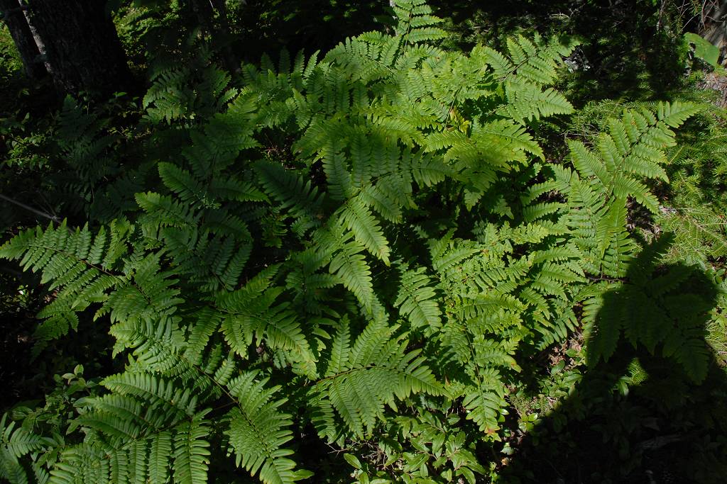
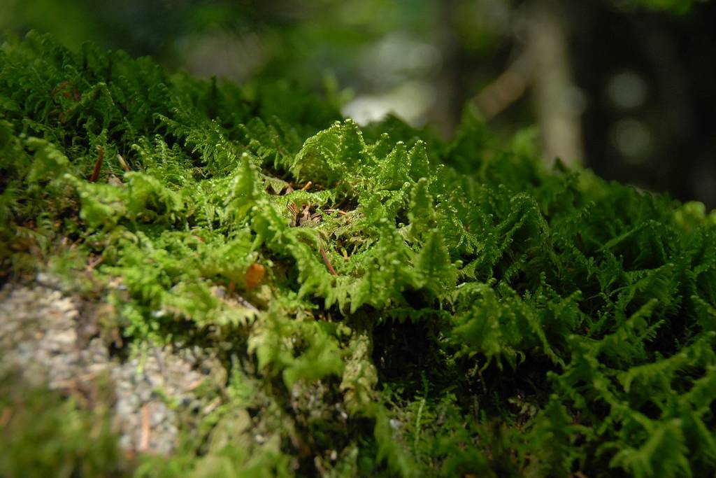
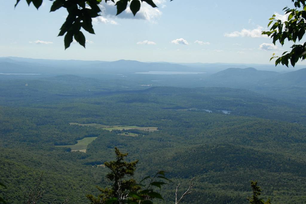
The hike started off on the Ferncroft Road and I had to walk along that for about a quarter of a mile before I reached the start of the Blueberry Ledge Trail. I took a left there and crossed a bridge and continued along the trail. The lower portion of the trail was mostly in the forest but there were several ledges where things opened up a little. There are in fact blueberries to be munched on if the season is right for them.
|
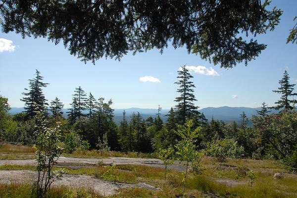
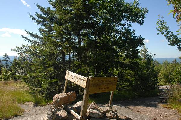
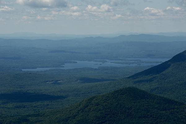
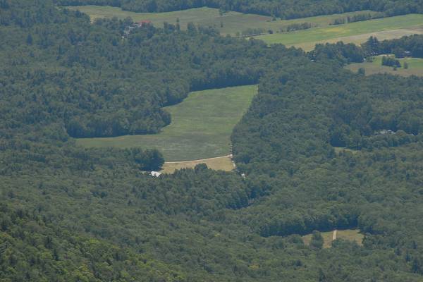
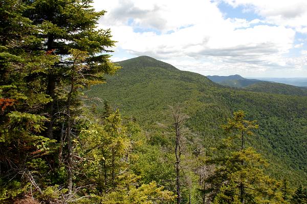
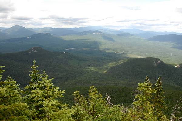
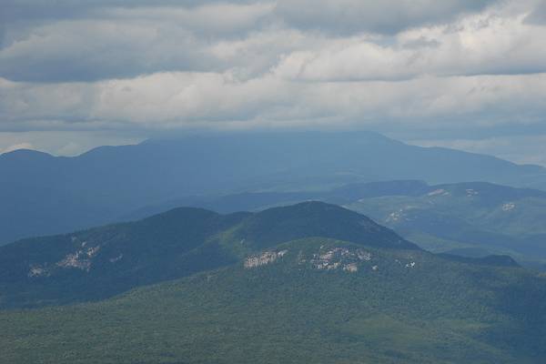
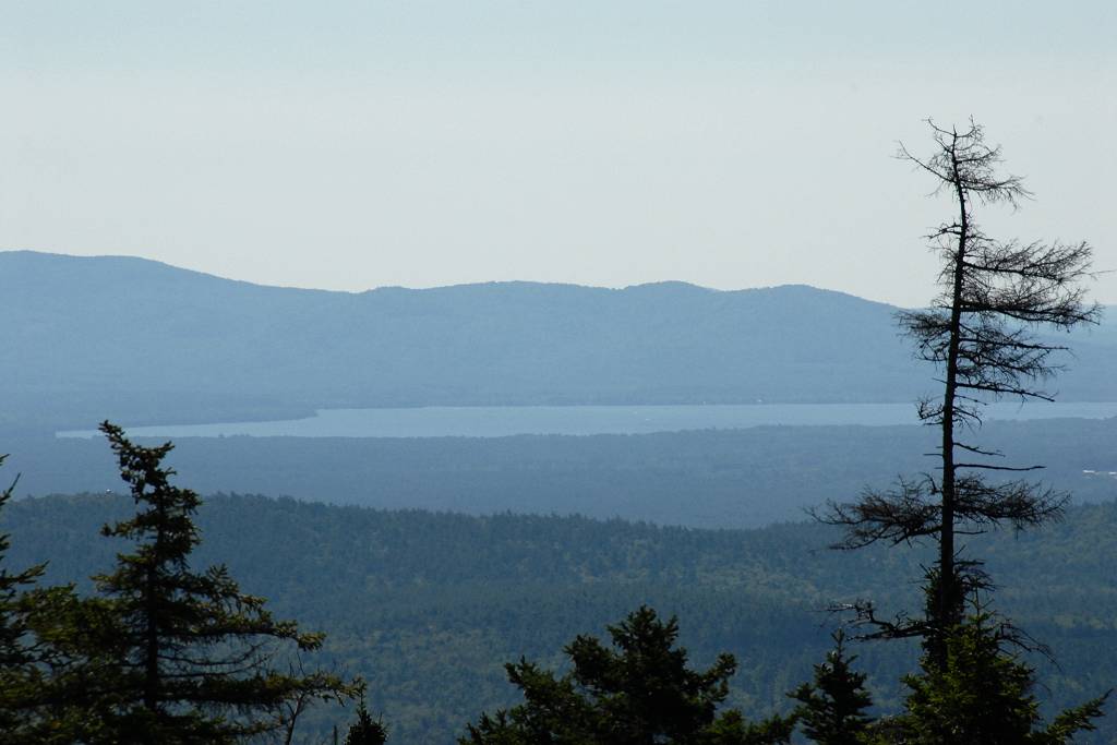
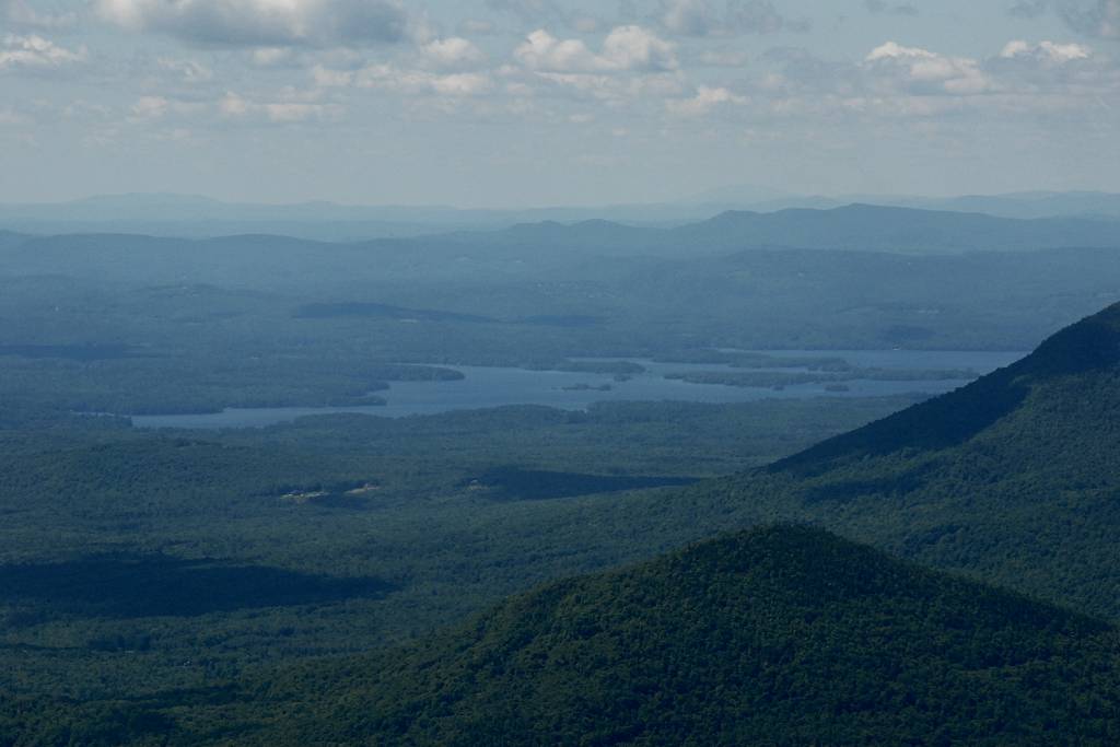
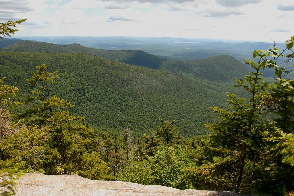
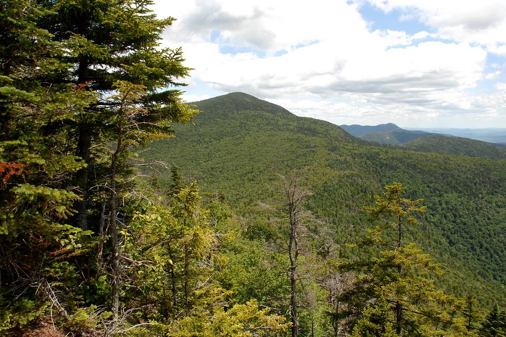
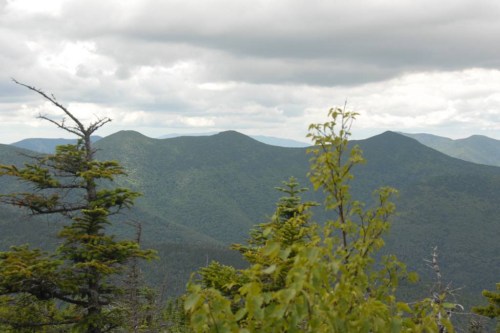
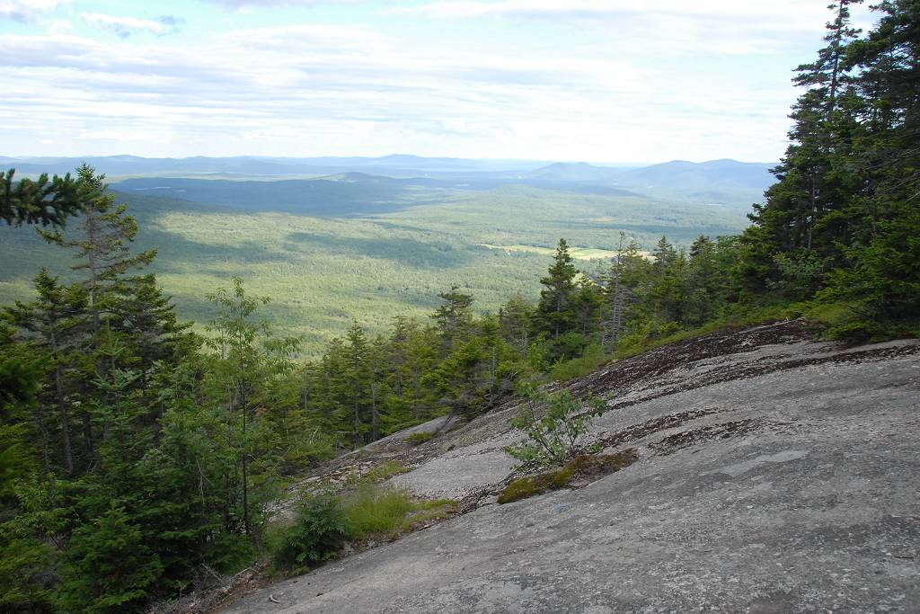
There is one very wide open space where the Blueberry Ledge cut-off rejoins the main trail and the view from there is spectacular.
|
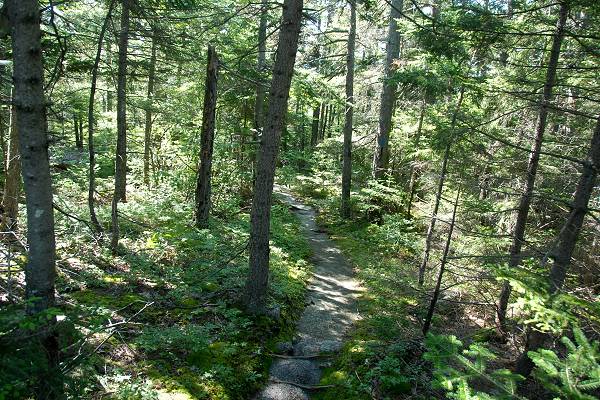
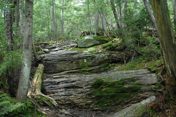
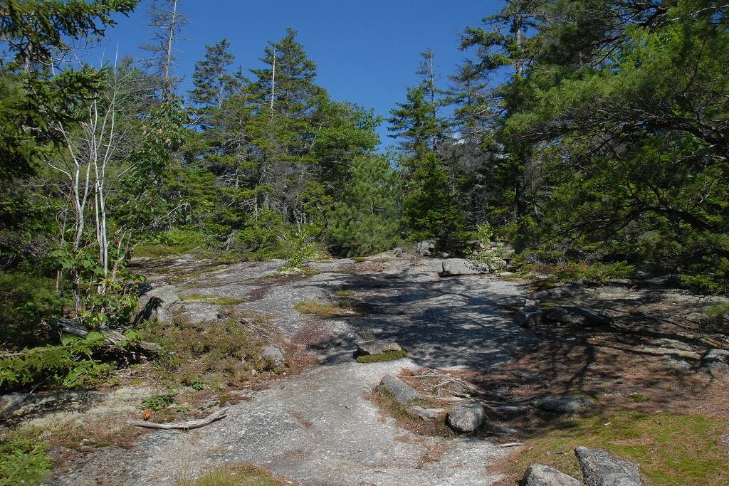
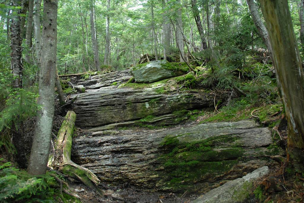
After that trail was back in the forest again and it started to get more steep the closer I got the the summit of Mount Whiteface.
|
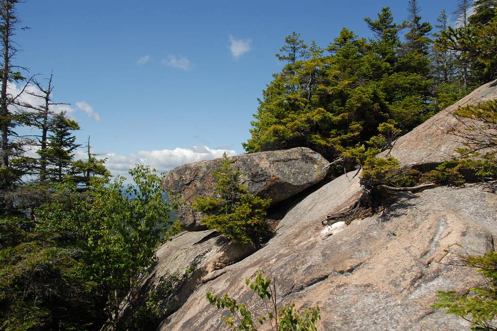
There were some very steep ledges in the upper sections and in one place there was considerable exposure where a slip could easily cost you your life. I have never seen a trail like this in the White Mountains before.
|
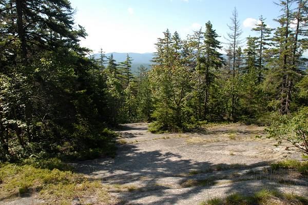
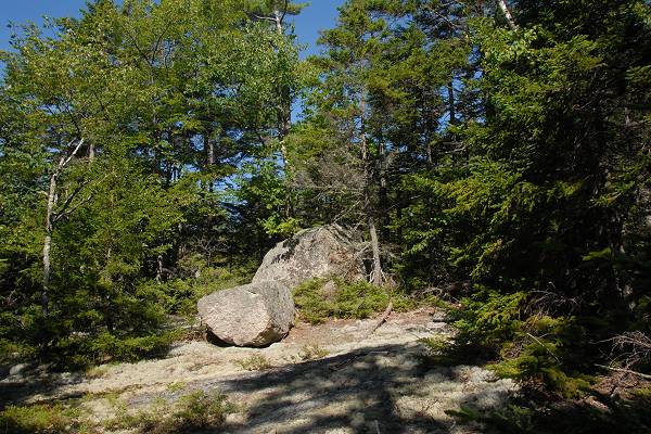
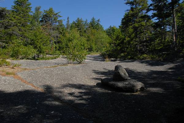
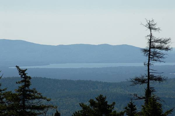
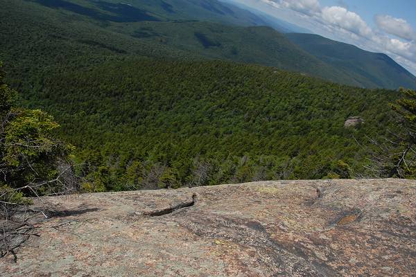
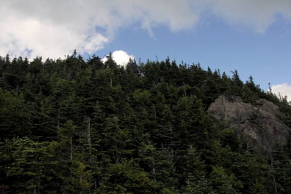
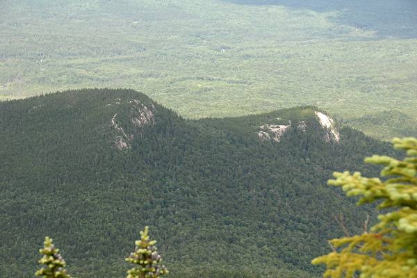
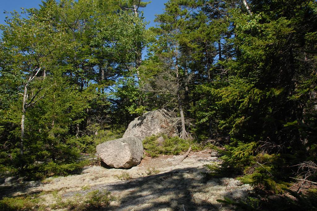
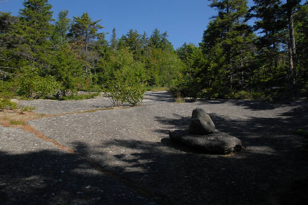
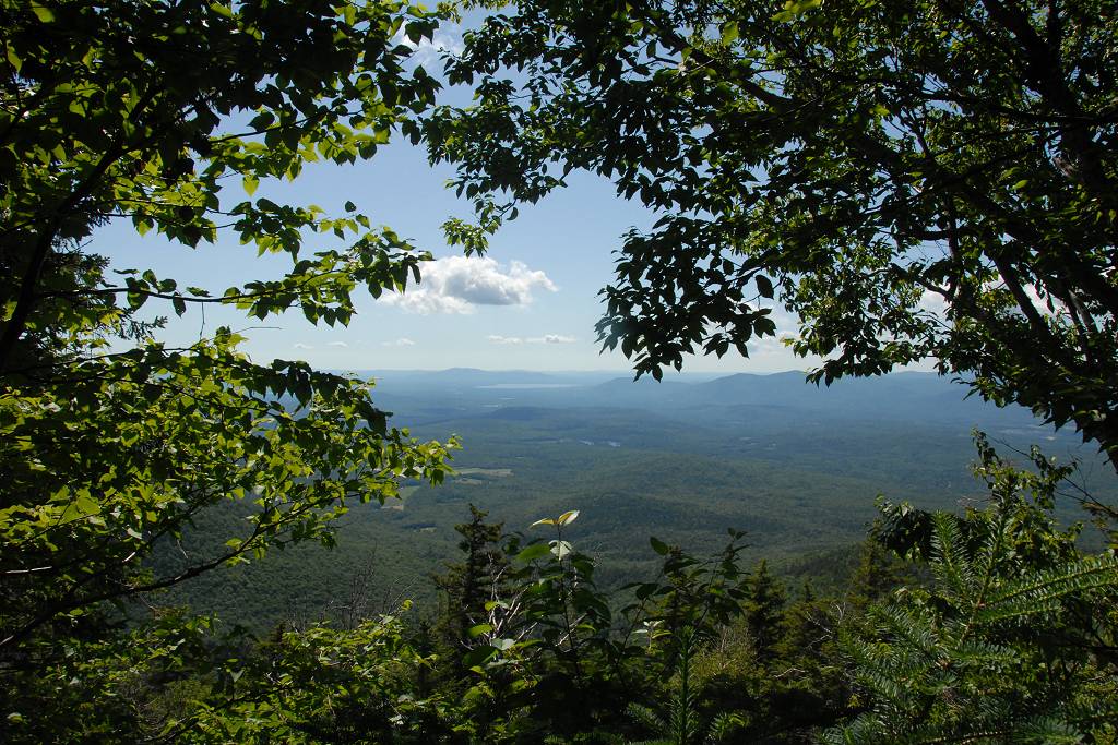
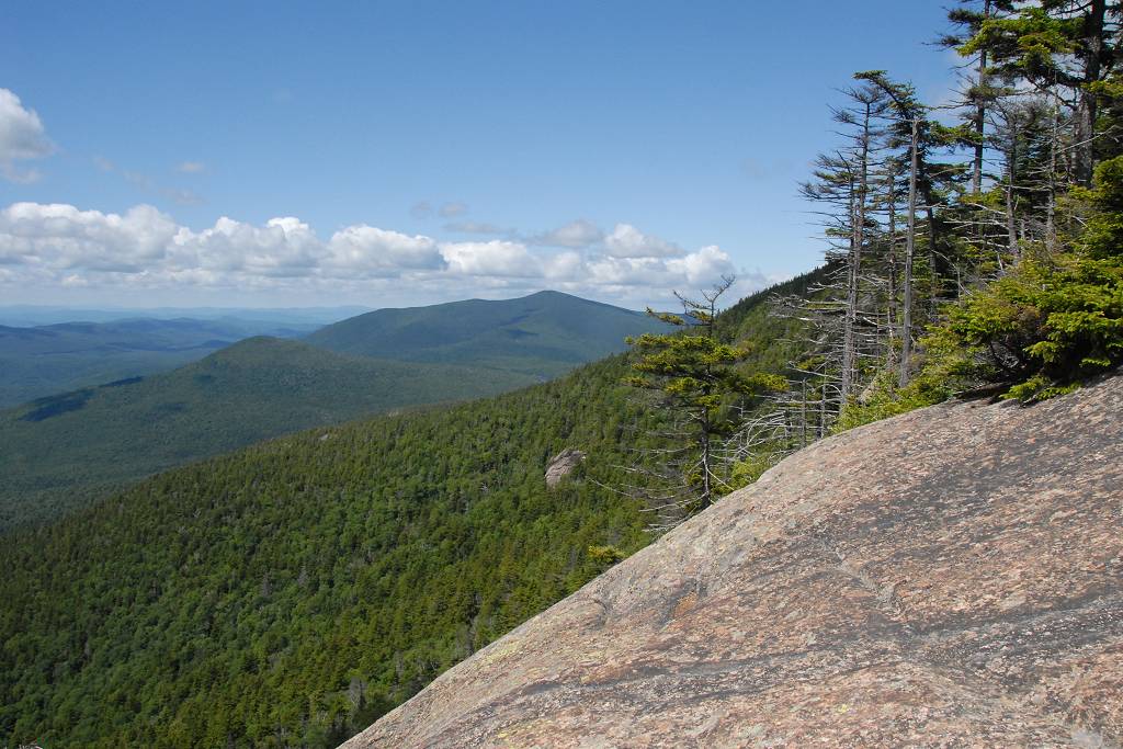
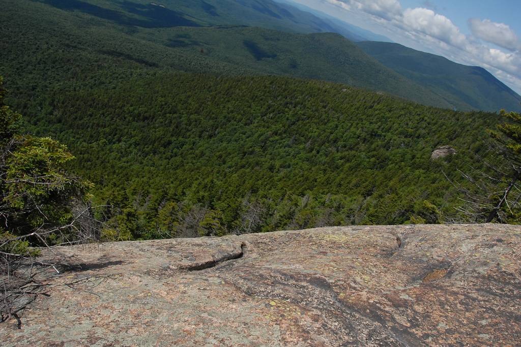
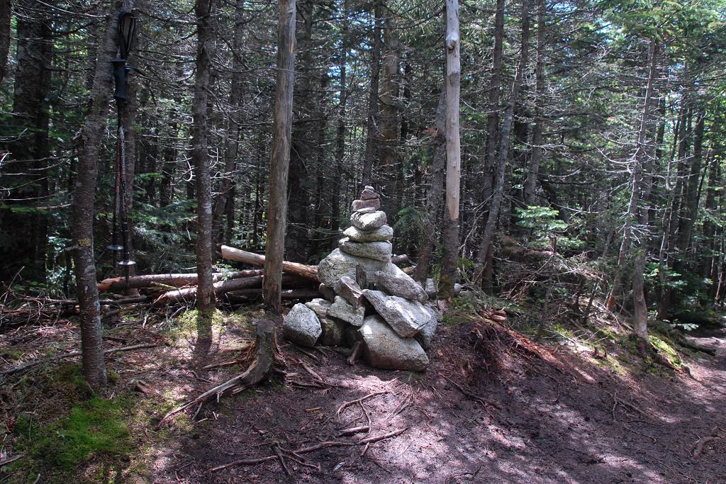
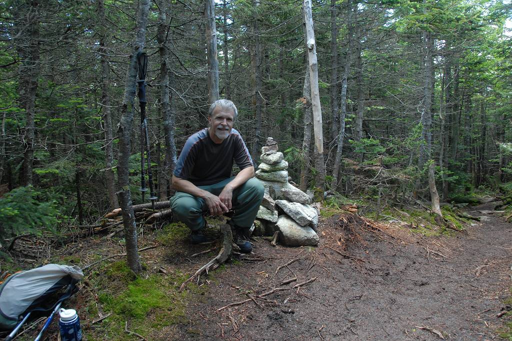
Mount Whiteface actually has two peaks and the lower one had some nice views but the higher one was completely wooded. The cairn marking the high point was right on the trail and easy enough to find but there was nothing at all to be seen from there.
|
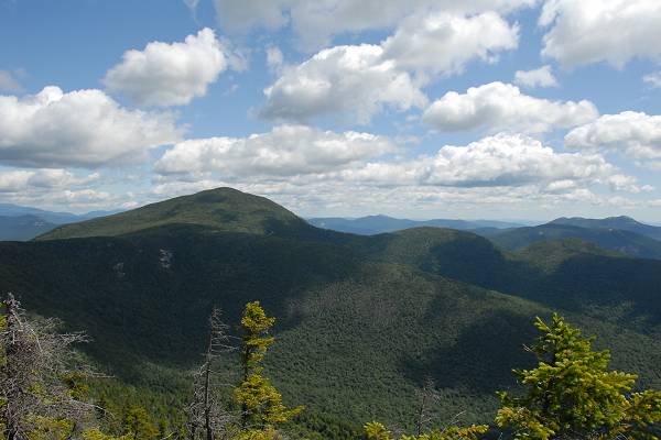
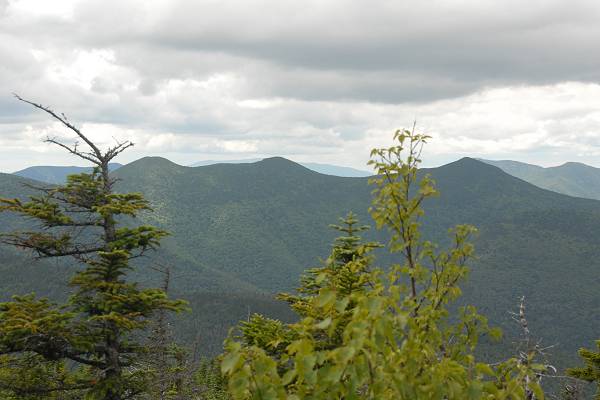
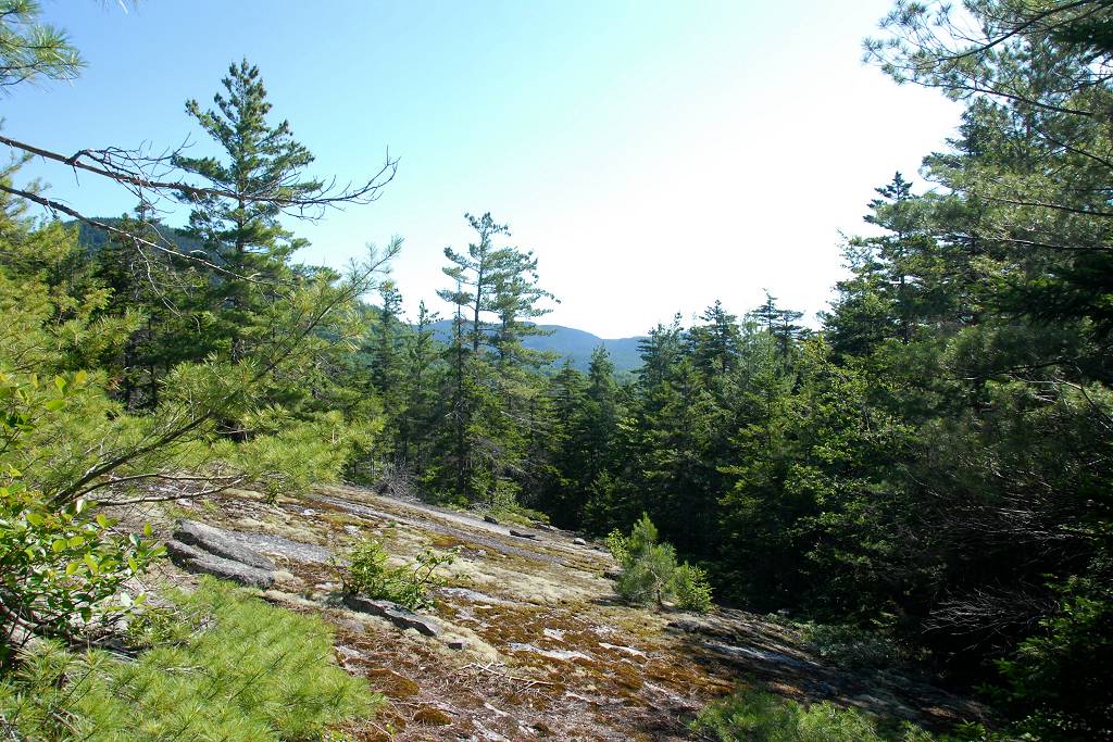
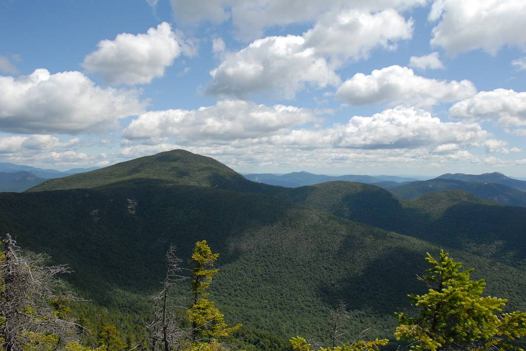
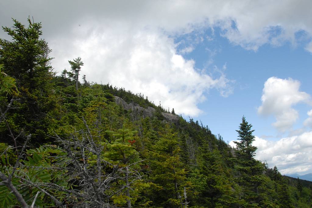
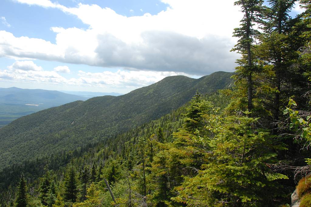
The hike along the ridge that runs north of The Bowl to Mount Passaconaway was very nice and I stopped right around midway for lunch.
|
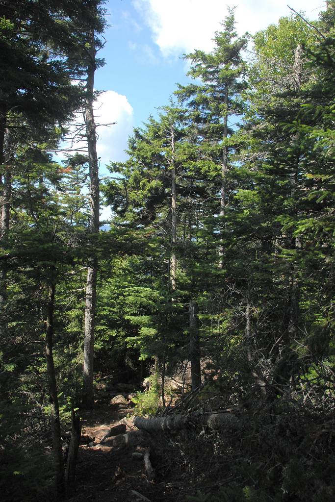
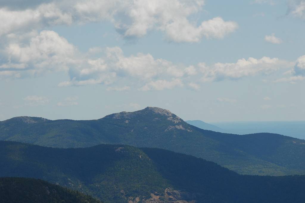
Mount Passaconaway was also a bust as far as views and it didn't even have the nice ledges below the summit that Whiteface had.
|
There were a couple of open spaces but no terrific views.
|
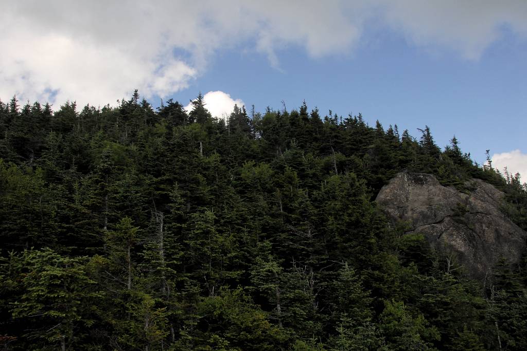
The descent route that I picked was not so great. It was about a mile longer than the quicker return and I thought it would be more scenic because it followed another ridge down to Mount Wonalancet.
|
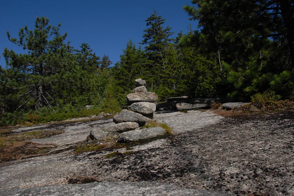
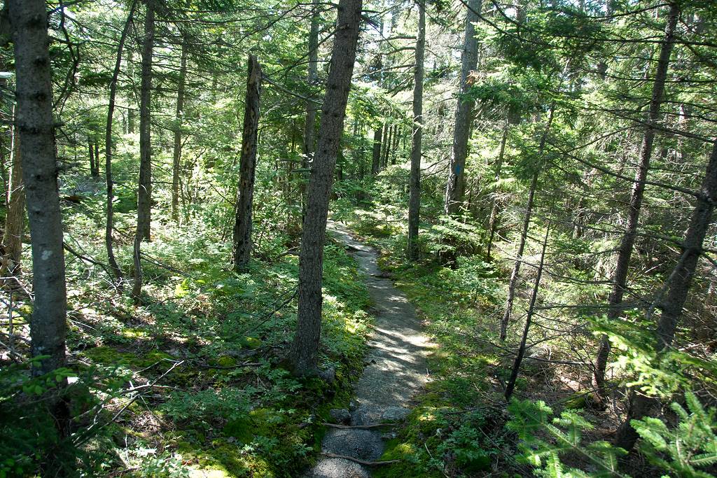
It wasn't. There were no good views and Mount Wonalancet was a bust with not even a summit cairn. I passed by the summit without even knowing I was there.
|
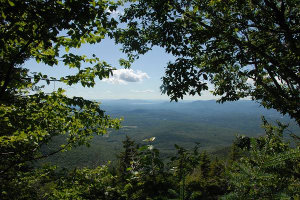
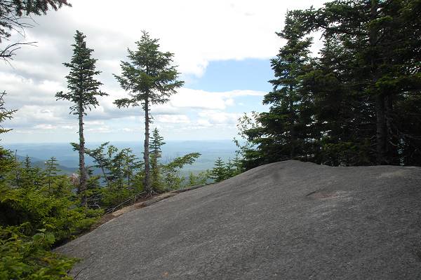
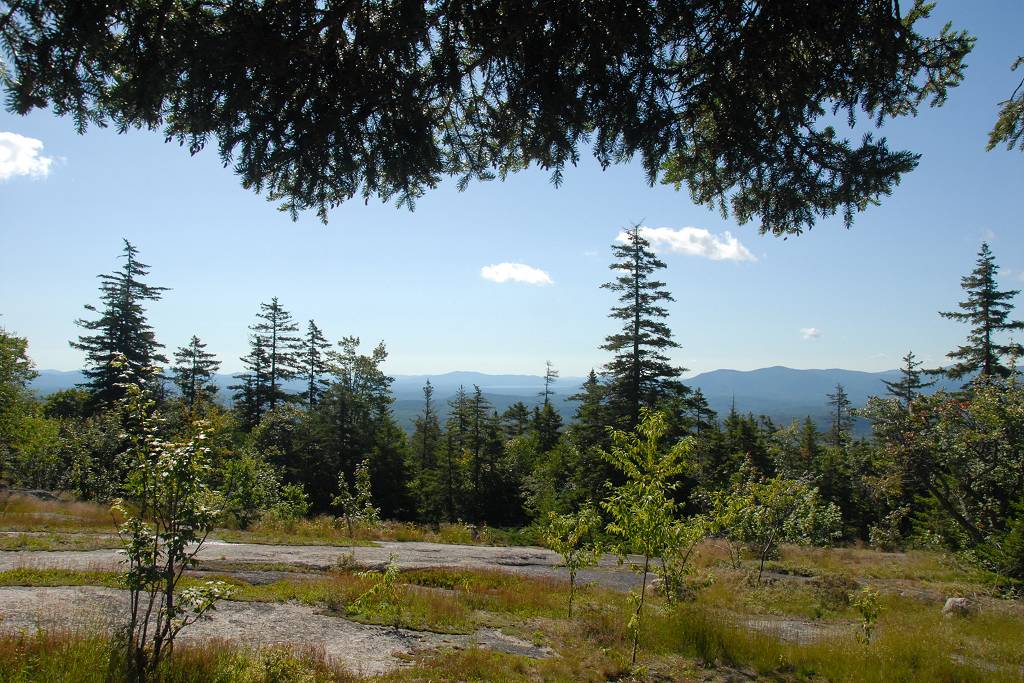
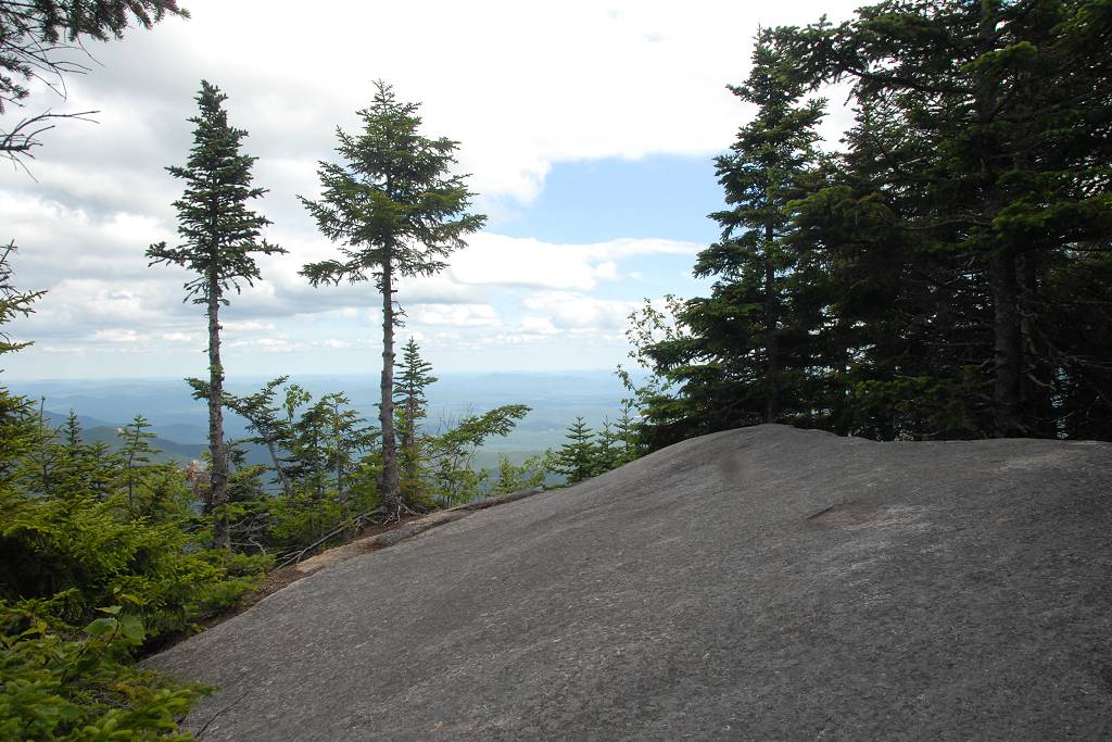
I did get one really nice view from an open ledge on the south side of Mount Wonalancet but from there it was back into the trees for the remainder of the hike.
This last leg of the hike seemed to go on forever. I could hear and see Spring Brook for most of the distance and the when the trail got really close to the brook I knew I was almost there.
|
|
|
|---|
|
|---|


