|
North and South Hancock via the Hancock Notch and Hancock Loop Trails |
|---|
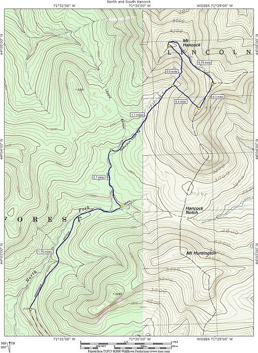
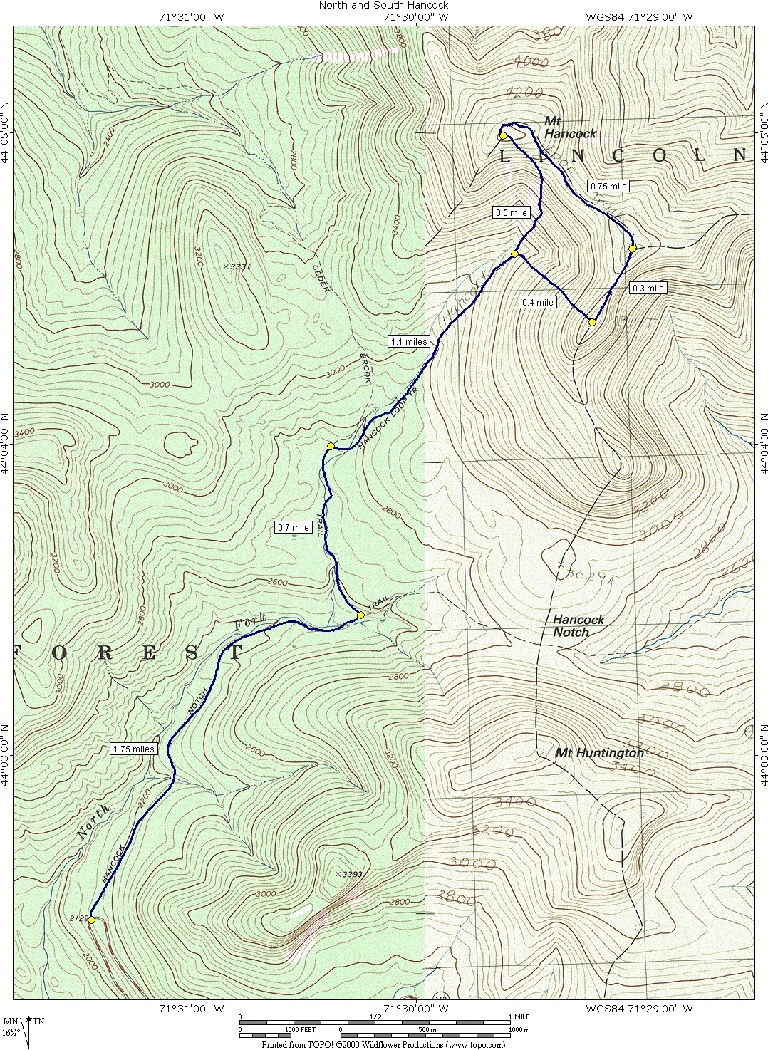
This day hike involved going up the Hancock Notch Trail to the Ceder Brook Trail to the Hancock Loop Trail to the summit of Mount Hancock. From there I continued along the ridge past Middle Hancock (or whatever it is called) to the summit of South Hancock. I left the summit to the northwest, returning to the main Hancock Loop Trail and then following that back to the Ceder Brook and Hancock Notch Trails.
|
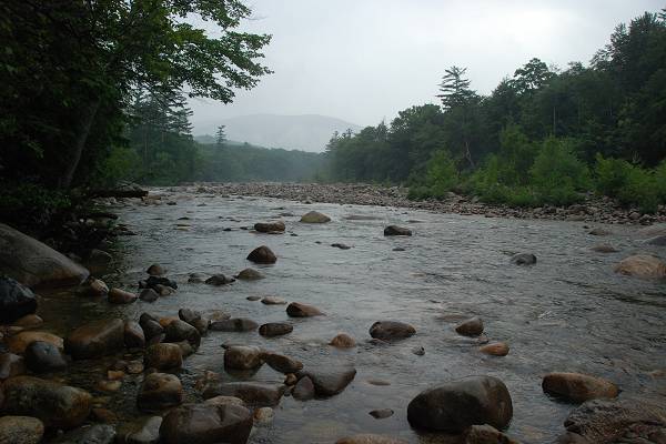
The starting point for this hike was the Hancock Overlook parking area on the Kancamagus Highway (NH Route 112), about 11 miles east from the Interstate 93 exit in Lincoln.
This was a very nice hike but I did not make it to the trailhead by 7 as I originally had planned. I discovered I would have to get up too early for that. As it is I got up at 4:30 and that barely happened. Luckily I got everything ready the night before so I just had to move it to the car. After a brief stop at the McDonald's in Lincoln for some coffee to go with my muffin I made to the trailhead by 8.
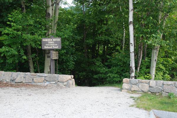
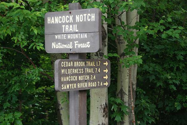
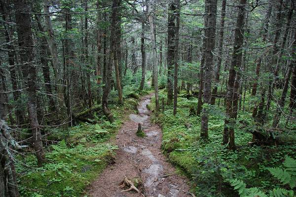
The trail started at the northern end of the parking area and quickly crossed the hair-pin of the highway before entering the forest on the other side.
|
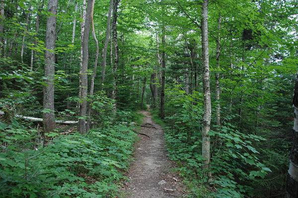
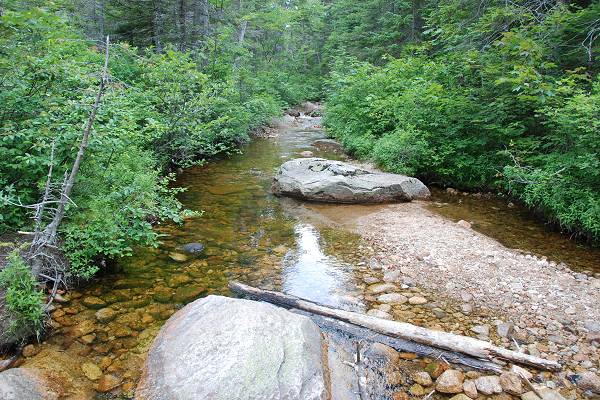
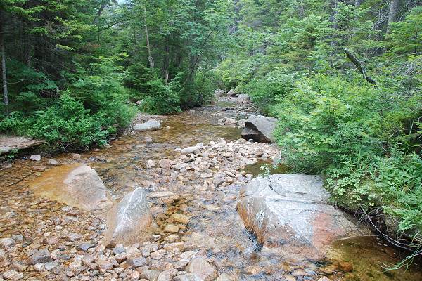
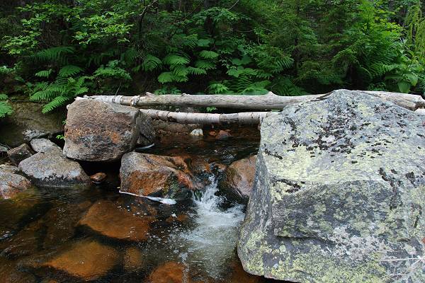
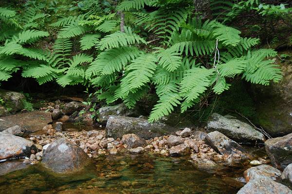
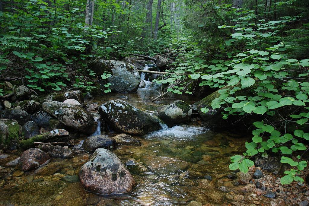
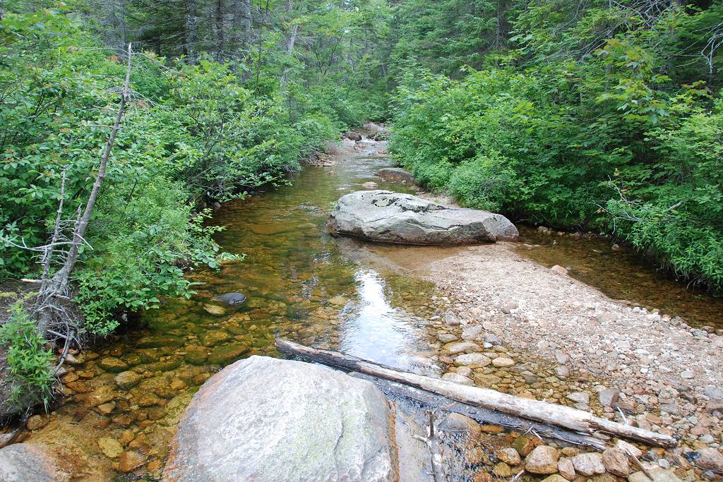
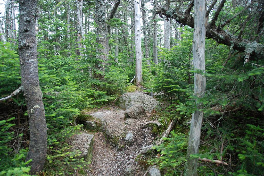
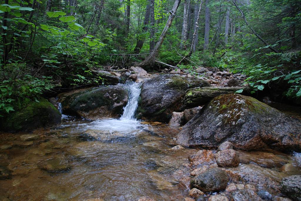
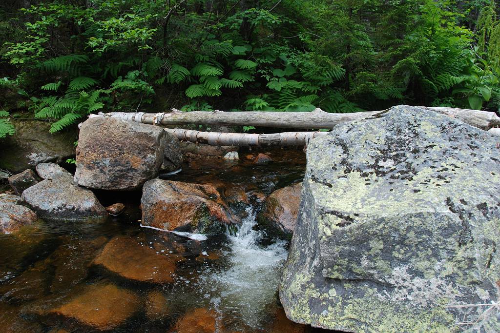
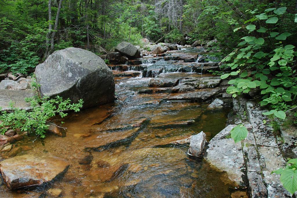
The trail follows along Cedar Brook for about 1.75 miles before reaching a junction with the Cedar Brook Trail. This section was quite picturesque and there was very little elevation change, only about 350 feet over the full distance.
|
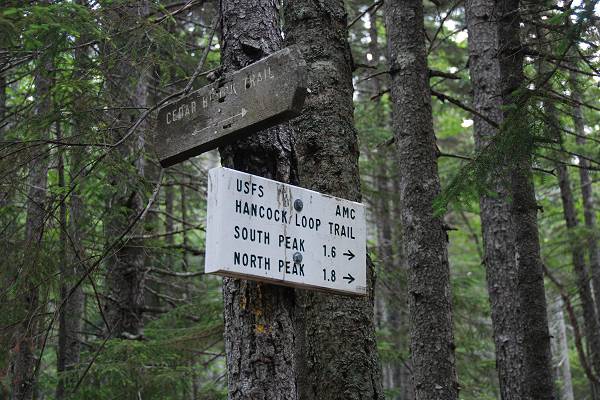
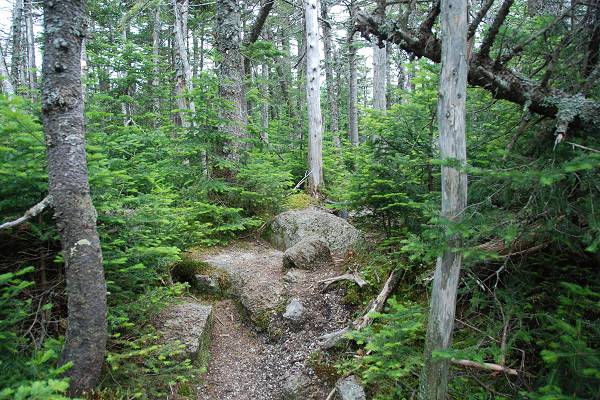
At the junction the Hancock Notch Trail continues to the right while the Cedar Brook Trail leads off to the left. I followed the Cedar Brook Trail for approximately 0.7 miles to its junction with the Hancock Loop Trail.
|
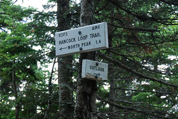
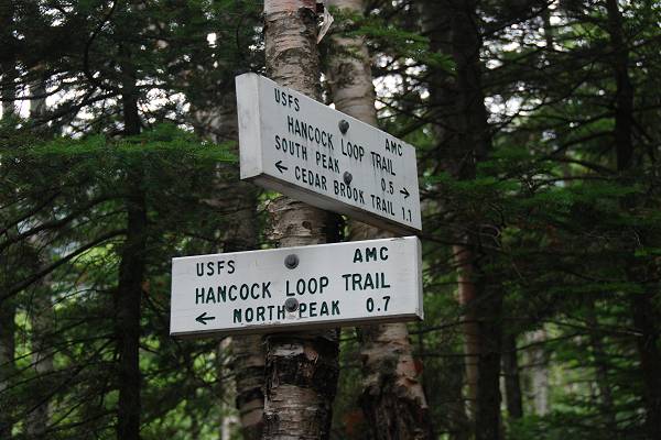
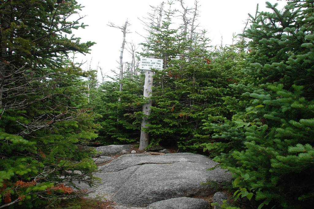
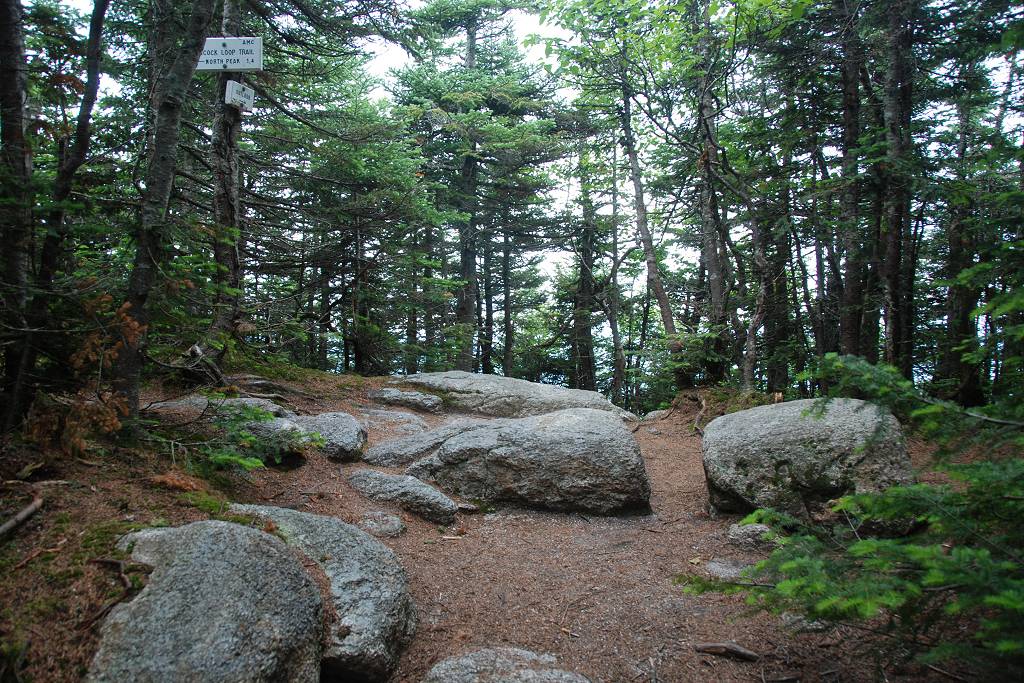
I decided to go for the north peak first and so continued to the left at this fork.
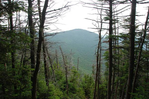
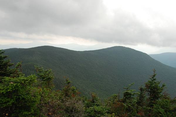
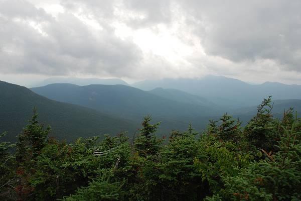
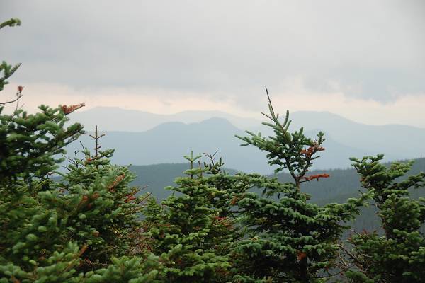
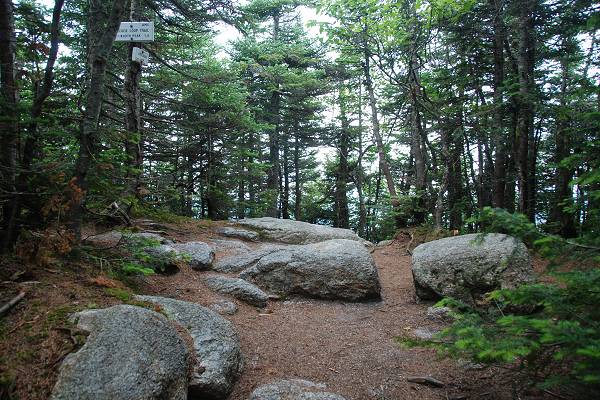
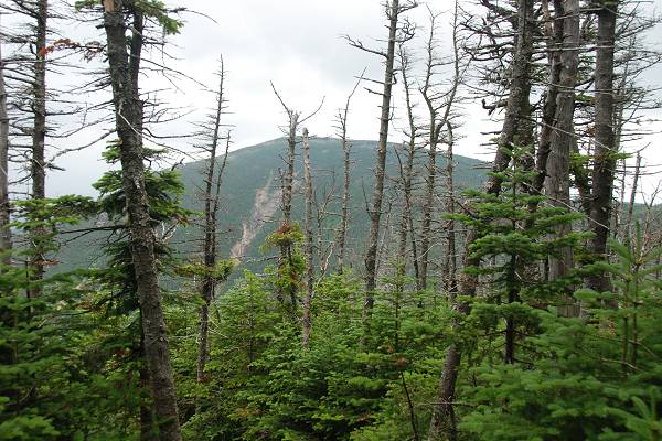
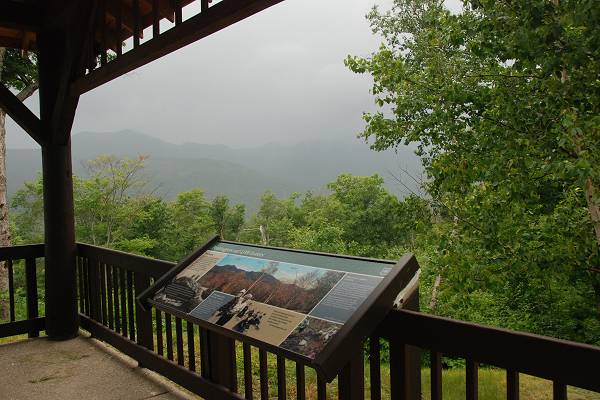
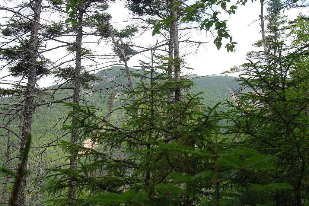
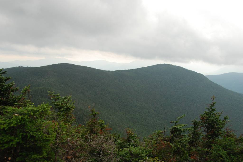
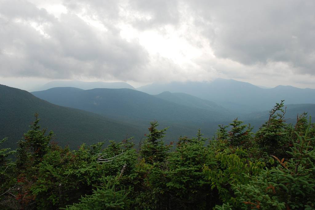
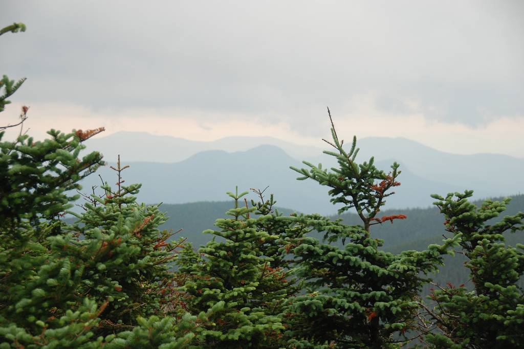
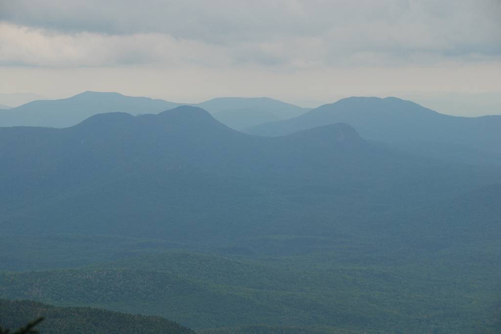
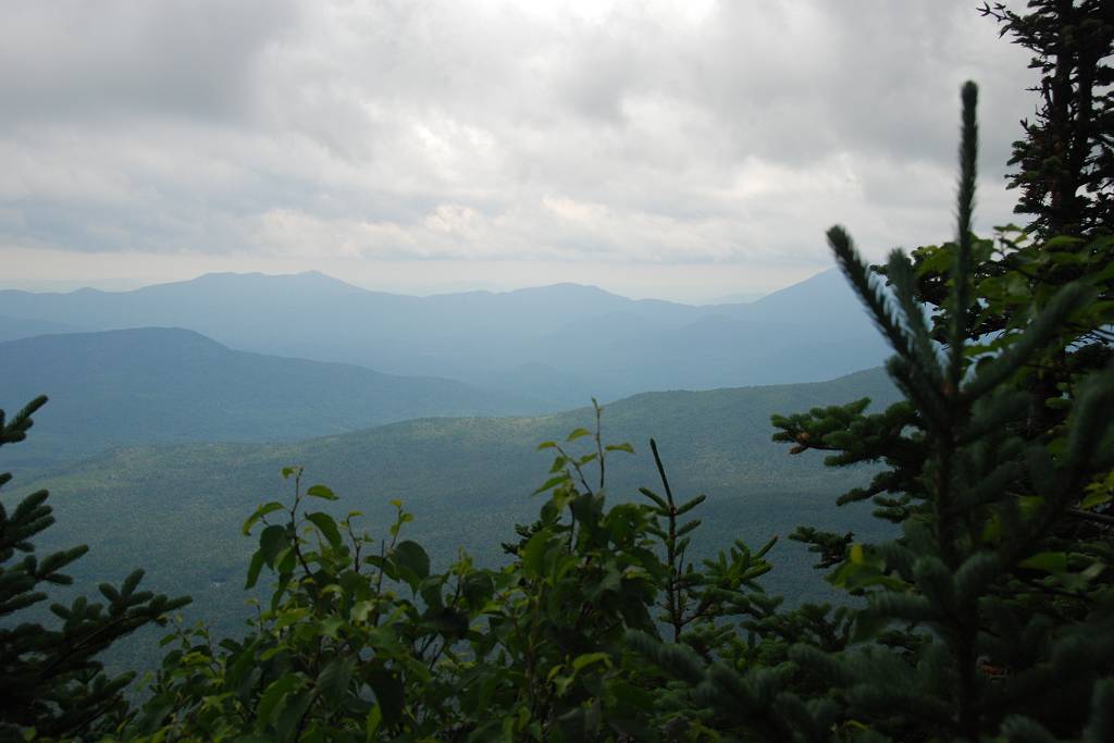
There was a little sun in the morning but that was gone completely by around 11, just about the time I made it to the summit of Mount Hancock's north peak. There was not much to see but it wasn't socked in completely. The summits of all the peaks a wooded but there was an overlook at both north and south peak.
|
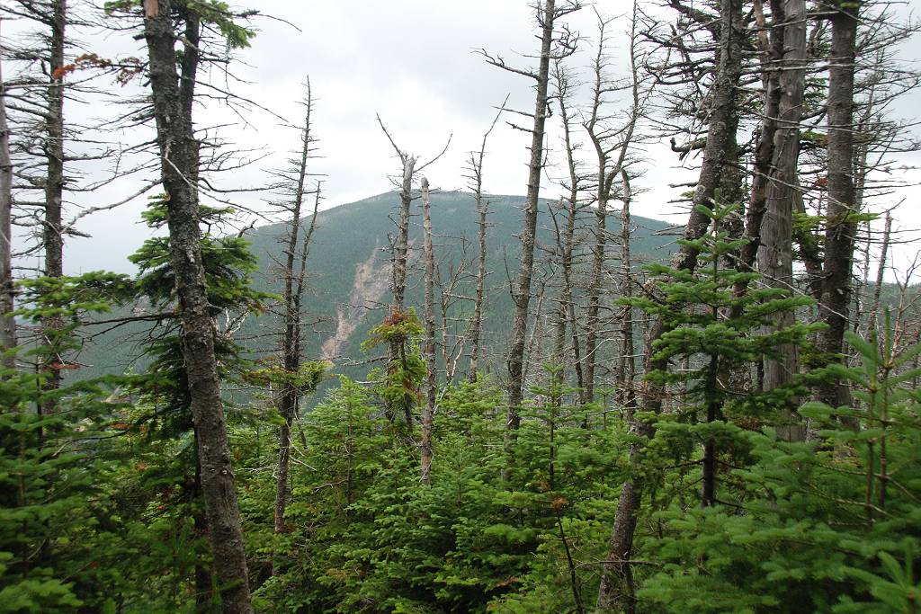
From the north peak I headed southeast along the ridge towards middle peak.
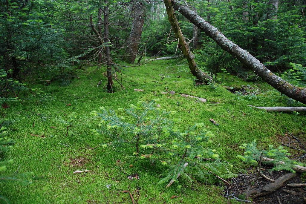
Middle Peak was a complete bust and looked like nothing at all, just a few big rocks in the middle of the forest.
|
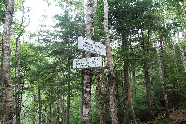
From Middle Peak the trail heads southwest along anothr ridge towards South Peak which had some much better views. I made it to south peak by around 12:15 but since there was not much to see I did not stay long and headed down the slope to the northwest to the trail fork.
|
From the fork I continued southwest back to the Cedar Brook Trail.
|
I didn't stop for lunch until I got back to Cedar Brook, around 1pm. I did find a very pleasant little spot next to the brook to eat though.
|
The good thing about not having a lot of elevation change at the start of this hike meant that there was not a lot at the end either. It was a nice easy descent back along the Hancock Notch Trail to the parking area. There was not even much elevation change along the Cedar Ridge Trail and the southern portion of the Hancock Loop Trail. All of the serious climbing is very close to the peaks themselves, going up to the north peak and then back down from the south, each about 1,100 feet packed into about a half of a mile.
I finished this hike pretty early and was back at the packing area just a little after 3pm.
|
|
|
|---|
|
|---|


