|
Mount Osceola and East Osceola via Mount Osceola Trail |
|---|
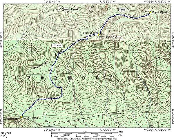
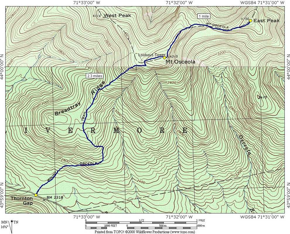
This day hike involved going up the Mount Osceola Trail to the summits of Mount Osceola and East Osceola and returning via the same route.
|
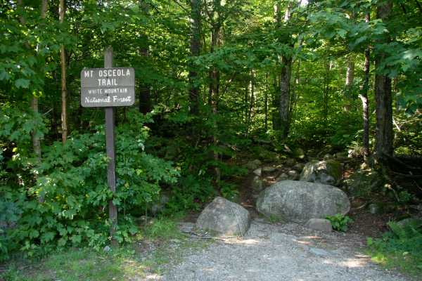
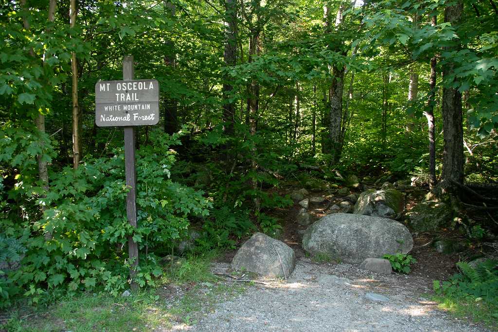
The starting point for this hike was the parking lot at the trailhead for the Mount Osceola Trail on Tripoli Road in Waterville Valley.
I arrived at the trailhead around 11:15. This was my second hike for the day, the first being Mount Techumseh, which was just a few miles away.
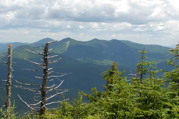
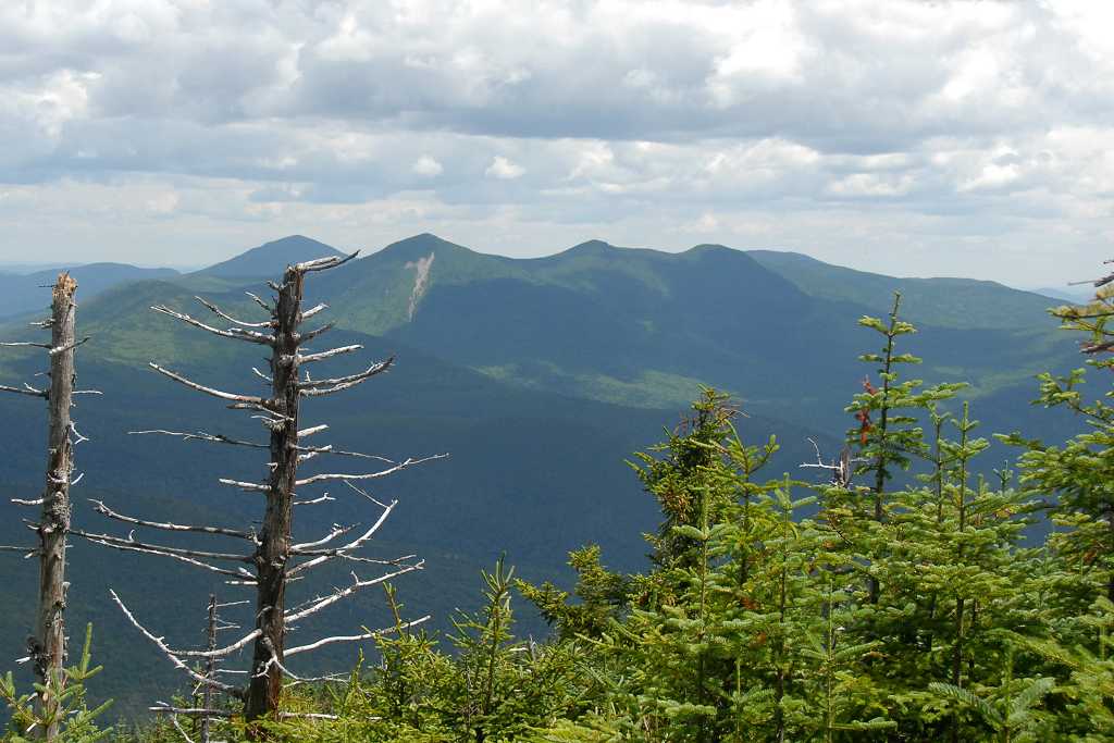
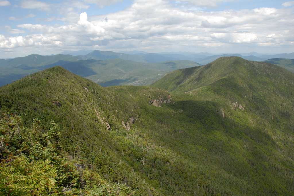
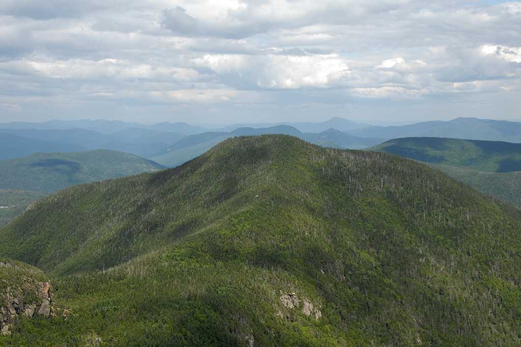
It was turning out to be a gorgeous day for hiking and the Mount Osceola Trail provided a nice gradual ascent up to Breadtray Ridge and then onto Mount Oscelola itself. There were a couple of steep sections along the way, mostly closer to the summit.
|
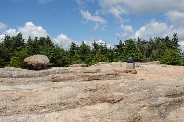
The summit of Mount Osceola was a little crowded when I arrived so I didn't stay long. I just took a few photos and then headed off to East Peak. I was hoping that most of the people would be gone by the time I returned.
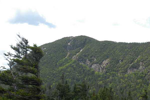
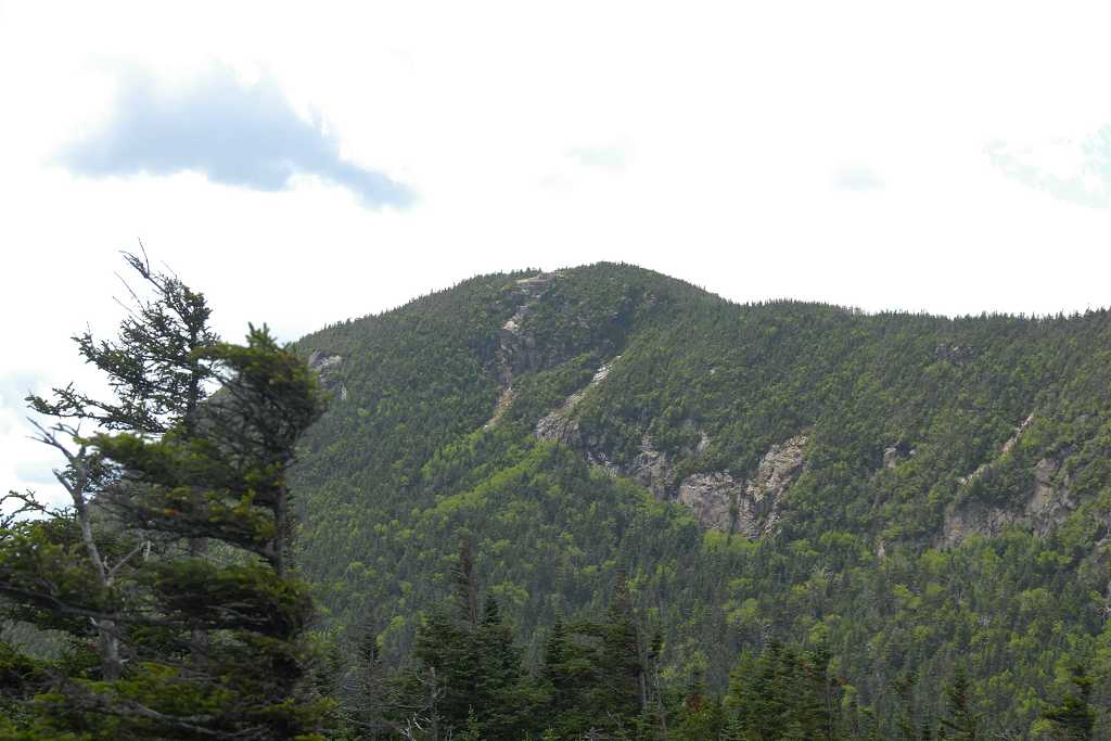
The hike/climb down from Mount Osceola on the northeast side has some... interesting... spots. There is a fair amount of very steep climbing involved in getting down to the saddle that connects Mount Osceola and East Osceola. The trail to the top of East Osceola is not nearly as steep and is more like the west side of Osceola itself.
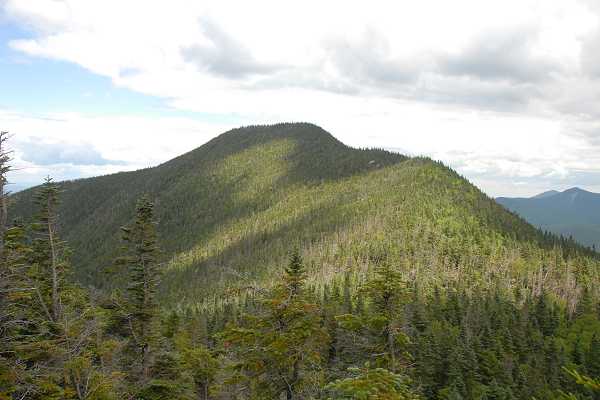
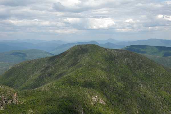
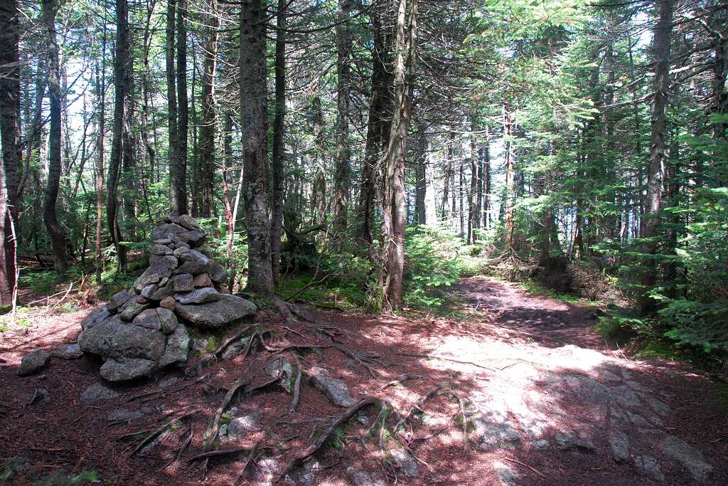
The summit of East Oscelola is wooded and there is not much to see there aside from the rock cairn marking the top. There is a bit of a view through the trees if you climb a little way down from the summit on the southeast side. The views from the ridge itself on the way up to or down from East Osceola are the best.
|
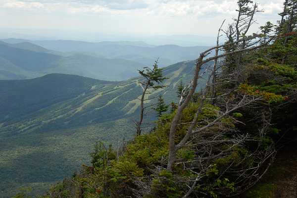
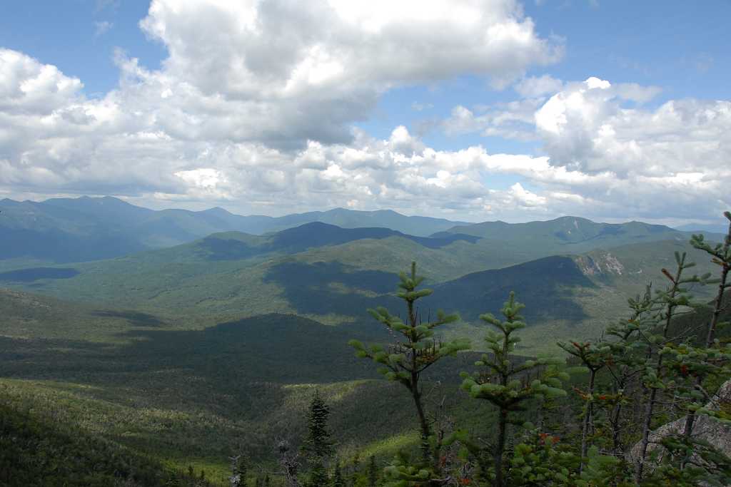
I did not linger long on East Osceola either and after a very brief stay I was on my way back to Mount Osceola. The climb back up to the main peak was a lot easier than the climb down had been. I was happy to see that most of the people who were at the summit when I first passed through were now gone and there was only one couple remaining. I found myself a nice view of Waterville Valley and sat down to have a little something more to eat.
|
The hike/climb down from Mount Osceola was uneventful and I was back at the car around 4:30 or so.
|
|
|---|
|
|---|


