|
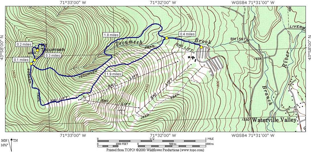
Mount Tecumseh via Tecumseh and Sosman Trails |
|---|
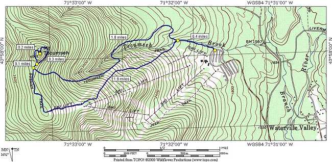
This day hike involved going up the Tecumseh Trail to its junction with the Sosman Trail and then taking that up to the summit of Mount Tecumseh. That was the plan anyway.
|
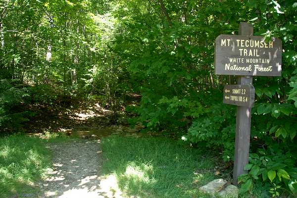
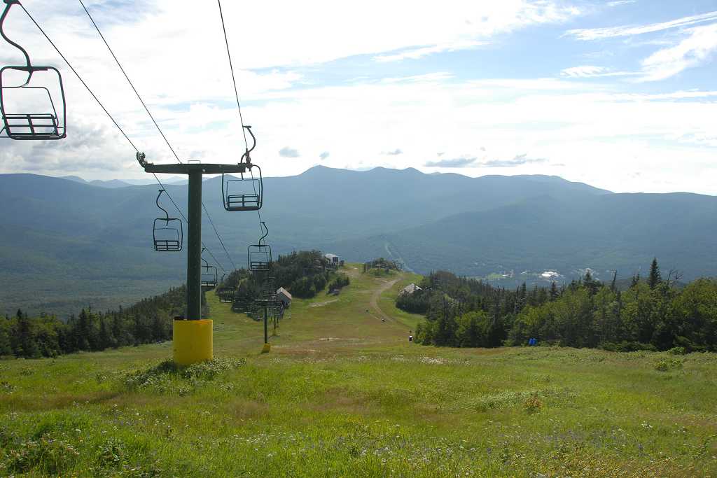
The starting point for this hike was the parking lot at the Tecumseh ski area in Waterville Valley.
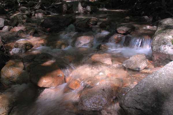
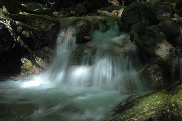
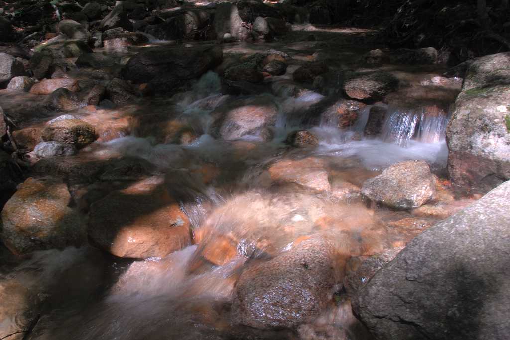
I arrived at the trailhead a little after 7:00. The lower portion of the Tecumseh Trail climbed at a very gradual rate as it followed up along Tecumseh Brook.
|
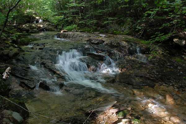
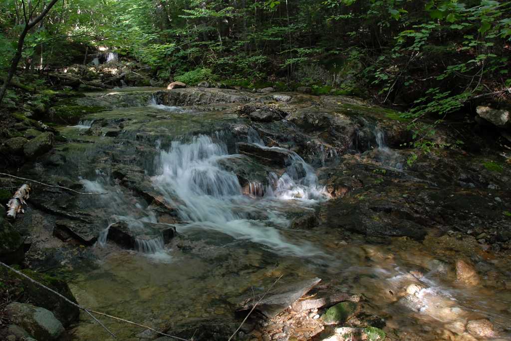
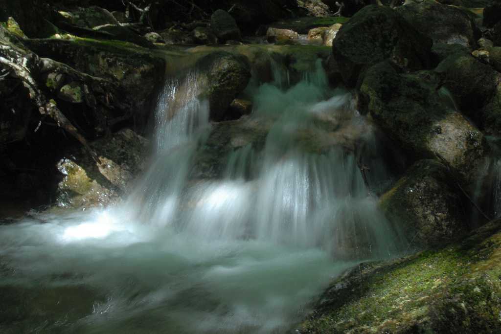
Shortly after taking that last photo I lost the trail. It appeared to veer off into the forest a little to the left to get around an obstruction in the creek but that evently dead ended. I knew the trail was supposed to cross the creek at some point but there was no obvious marker here. There was a trail (a couple of trails actually) on the other side of the creek which did no better. Some sort of trail, though not used as much as the others, also appeared to exist along the left bank so I tried that. It was not easy to follow and eventually led out to one of the ski slopes which was not at all where I wanted to be. My only guess was that I had come too far and had missed the creek crossing but rather than go back and look for it I decided to follow the ski slopes to the summit instead. I could see the summit of Mount Tecumseh and I knew the Sosman Trail was up there along the ridge so it seemed like a good idea.
|
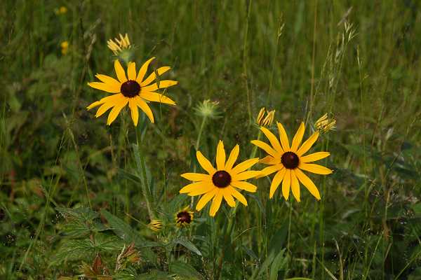
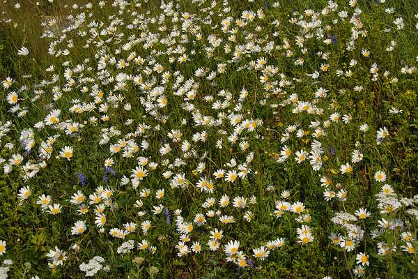
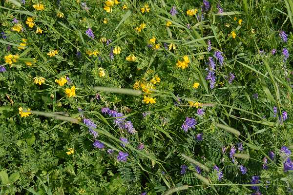
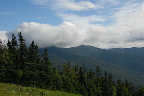
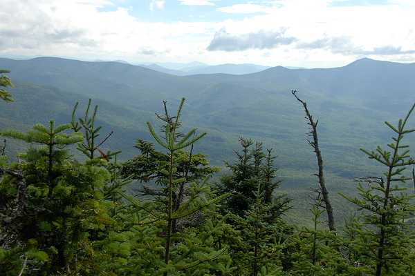
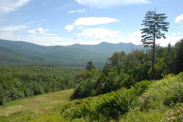
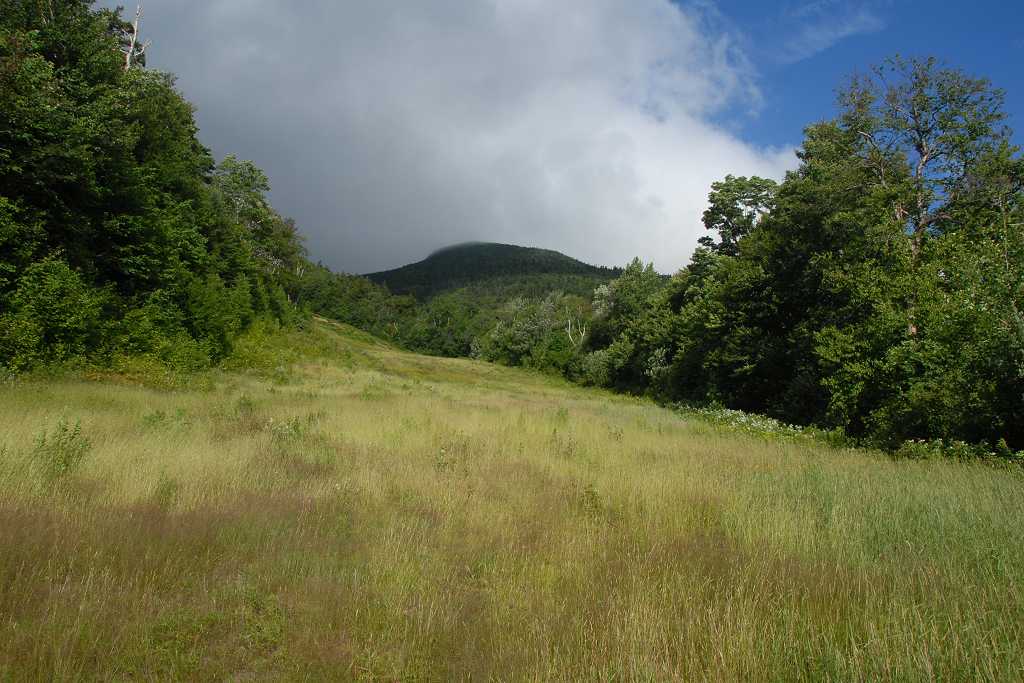
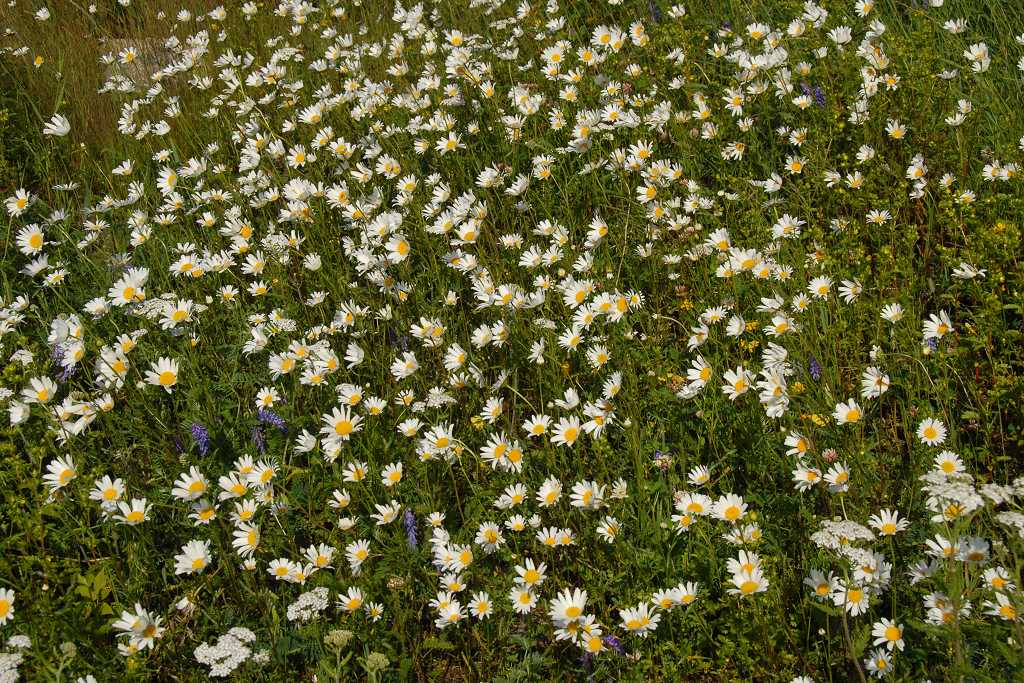
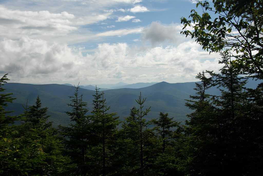
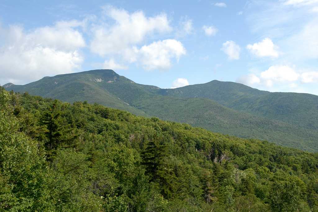
Unfortunatley the ski slopes were quite steep and since there was no trail my tendancy was to go staight up them which just made them feel steeper. They were also quite overgrown with various grasses and wildflowers in place which although pretty made them a little difficult to navigate. The views of the valley below and the other peaks around were astounding though and I knew I would not get those views from the trail in the forest.
|
Near the top of the last ski lift I could see a cluster of antenae which appeared to be on the little peak just south of Tecumseh, also probably on the ridge. There was a trail heading up that way which I was assuming would lead me to the Sosman Trail. It did. I started north on the Sosman Trail somewhat further south than I would have hit it had I stayed on the Tecumseh Trail. At least the trail was level except for a few little ups and downs and after a few thousand feet I encountered its junction with the Tecumseh Trail.
|
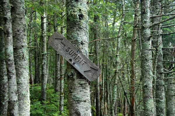
Somehow I missed the other trail junction which would have taken me to the summit of Mount Tecumseh via the shorter western route and instead I ended up using the eastern route. It was only about a tenth of a mile longer so no big deal but I was annoyed at myself for missing the signs and/or markers today.
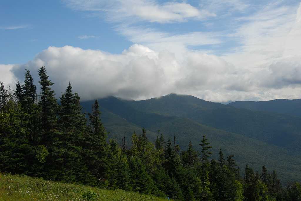
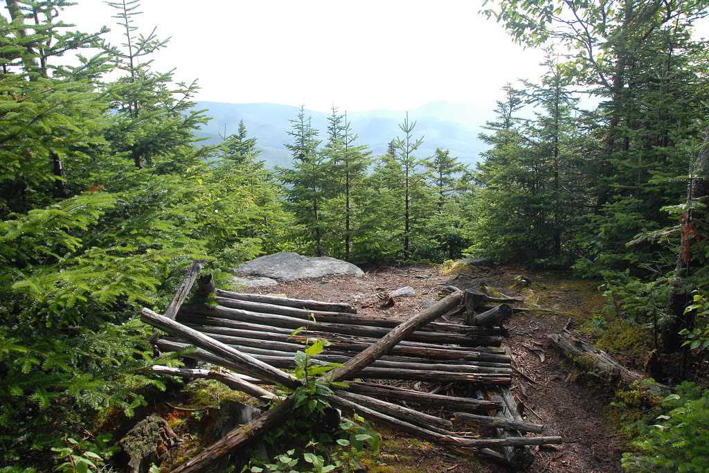
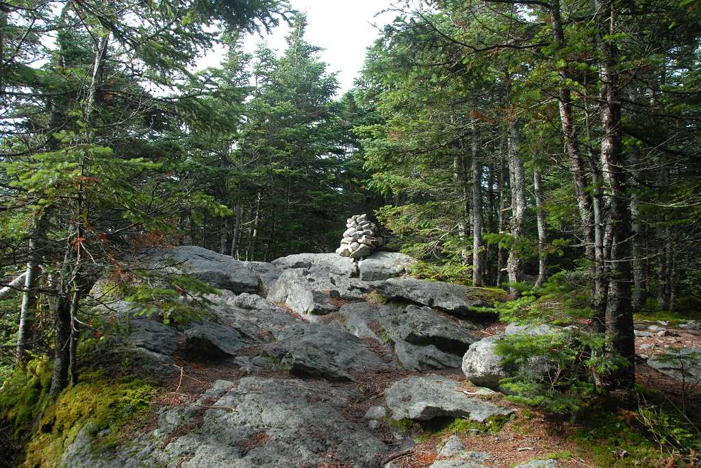
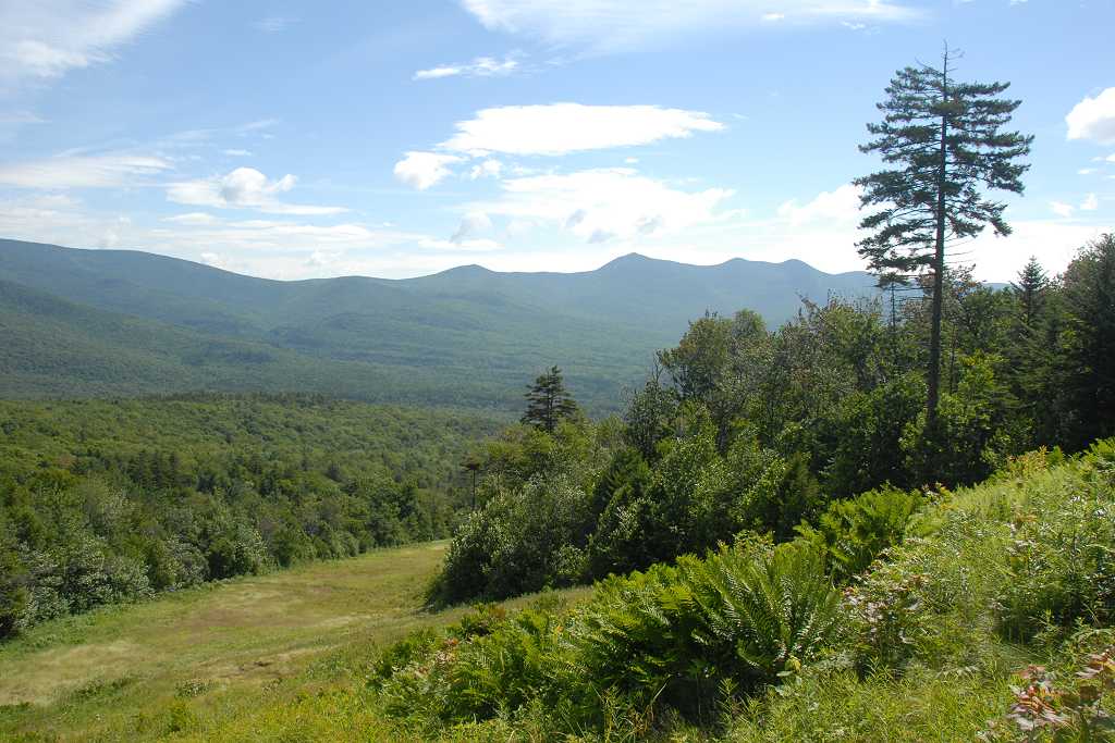
The summit of Mount Tecumseh is wooded except for a small opening to the east which looks out over Waterville Valley. I stayed for a short while on top of Mount Tecumseh and had my breakfast up there before starting back down. I still had one other day hike to do today and I wanted to finish this one and get started on that one as soon as possible.
|
I took the western descent from the summit and found the sign I had missed on the way up. I stil don't know how I missed it. I also took the Tecumseh Trail going down and managed to follow it all the way to Tecumseh Brook with no problem. At the brook I discovered the carin that I had missed marking the creek crossing but at that point the trail also continued up along the left bank of the creek. So either lots of people miss the crossing or the ski slope is an alternative ascent route. The views from the ski slop on the way up were actually a lot better than from the actual trail. At one point on the way down the Tecumseh Trail does actually direct the hiker to an overlook that is on the ski slope.
|
Epilog
When I put this trip report together I noticed that the route for the Tecumseh Trail shown on the map used by Terrain Navigator Pro is different from the one shown on the map in my Topo! software. The Waterville Valley quad map used by Terrain Navigator Pro is dated 1995 and shows the trail crossing the creek. The quad map used by the Topo! software shows the trail staying on the left (south) side of the creek and using the northernmost ski slope for a portion of the trail. The trail eventually re-enters the forest, probably where the overlook is now.
|
|
|---|
|
|---|


