|
Mount Hale and Zealand Falls via Hale Brook, Lend-A-Hand and Zealand Trails |
|---|
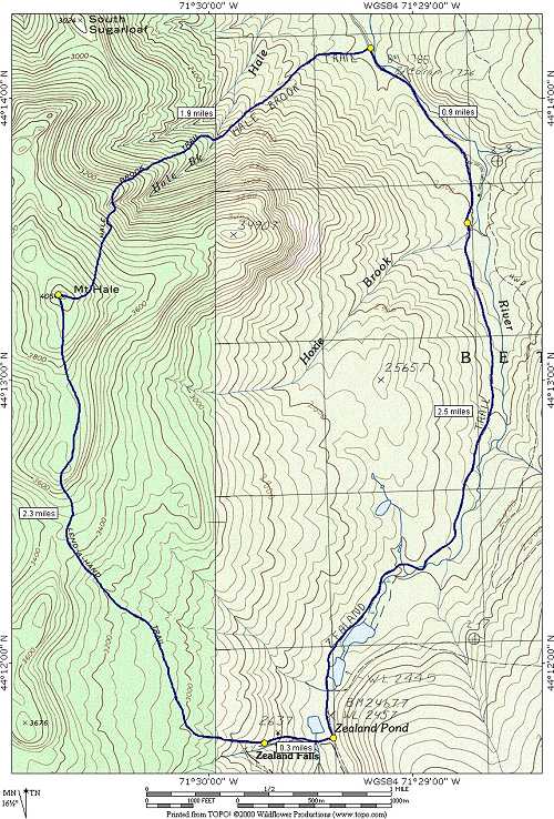
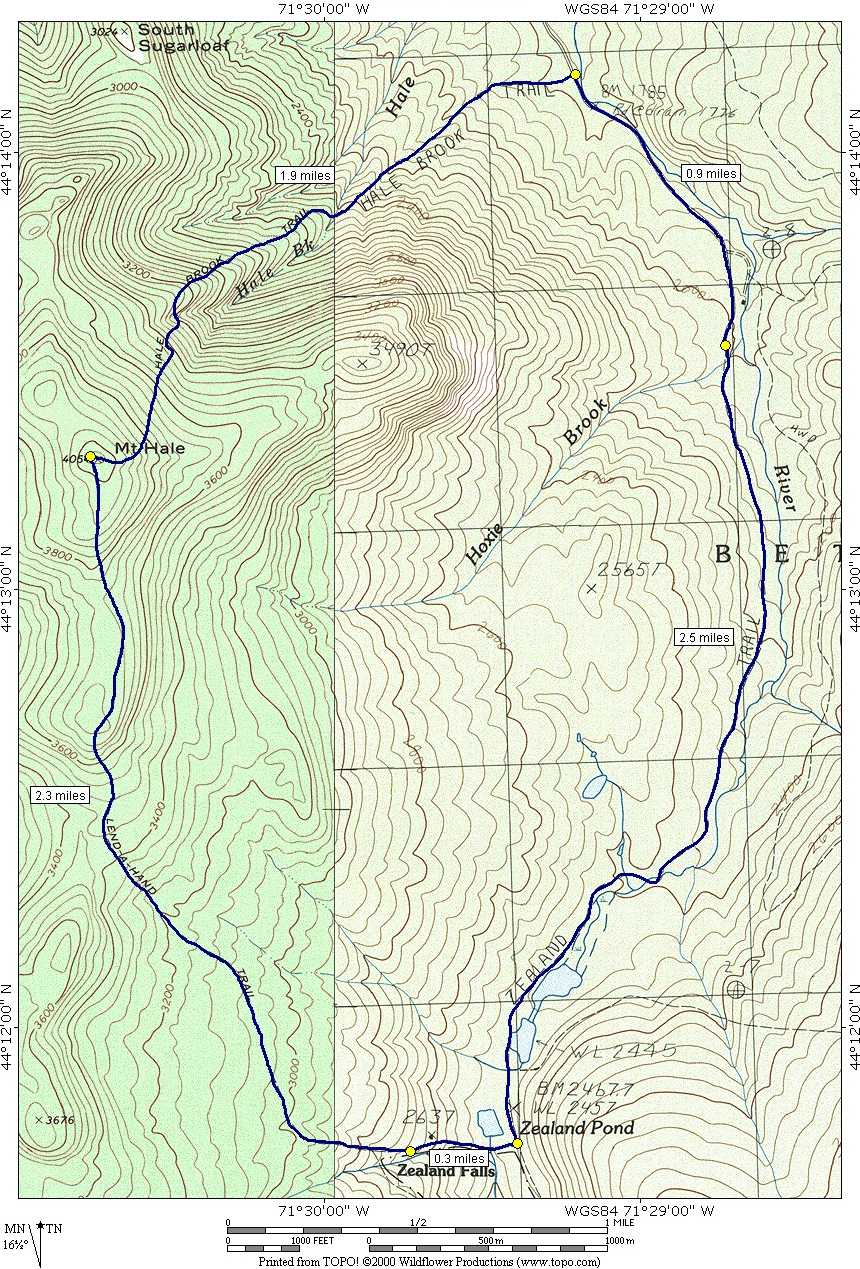
This day hike involved going up the Hale Brook Trail to the summit of Mount Hale and then down the Lend-A-Hand Trail to Zealand Pond. The return route was via the Zealand Trail and Zealand Road.
|
The starting point for this hike was the parking lot for the Hale Brook Trail along Zealand Road.
We arrived at the trailhead at 7:00 to start this hike. The first portion up the the crossing of Hale Brook, about 3/4 mile or so, was a gentle climb. The morning was cloudy and cool, a good day for a hike.
|
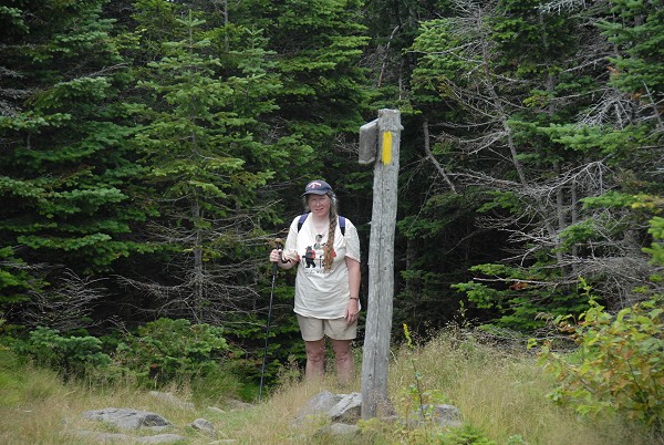
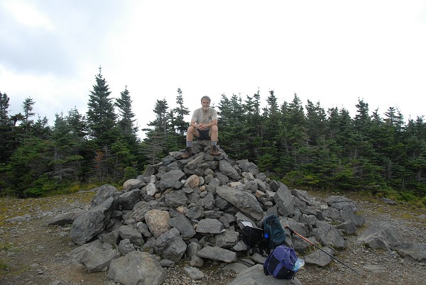
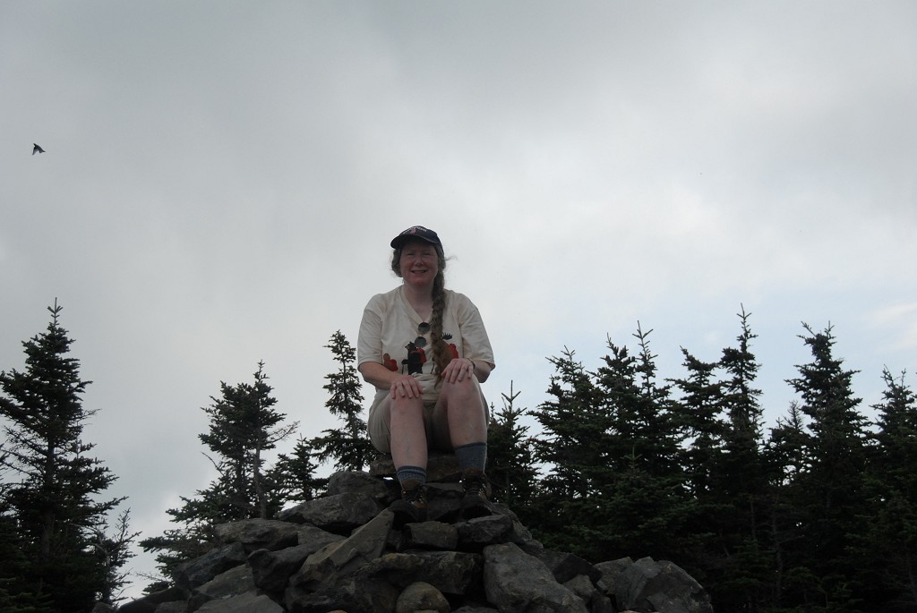
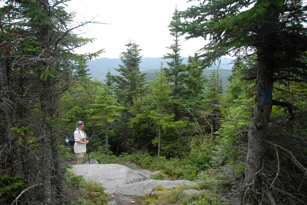
After crossing Hale Brook the trail gets somewhat steeper for a half mile or so but than tapers off again as it approaches the summit of Mount Hale. We arrived at the summit just before 9:30 and there is really nothing to see from up there. The summit itself is clear but is surrounded by forest and there is no view. There is a huge summit cairn and the footings from where there was probably once a watch tower. We did not stay long on the summit before starting down the Lend-A-Hand Trail towards Zealand Falls.
|
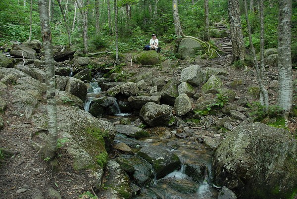
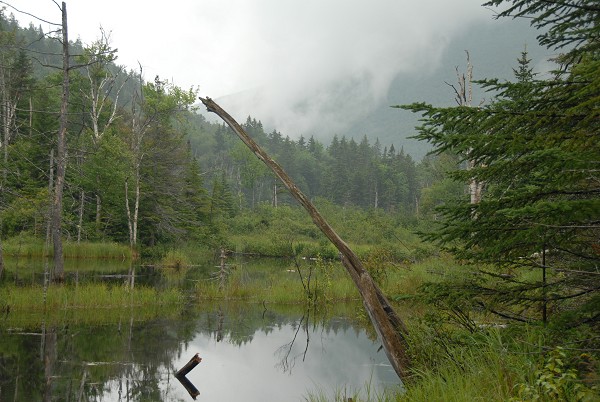
The Lend-A-Hand Trail to Zealand Falls was a much more gradual descent than the Hale Brook Trail would have been and there were a couple of small openings in the trees on the way down where there was at least some view. Some sections of the trail were very damp and there seemed to be lots of springs flowing. There was a trail crew out working in the lower sections as we approached Zealand Falls.
|
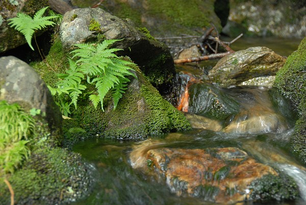
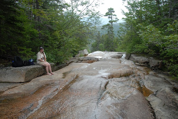
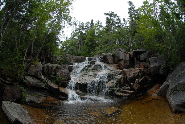
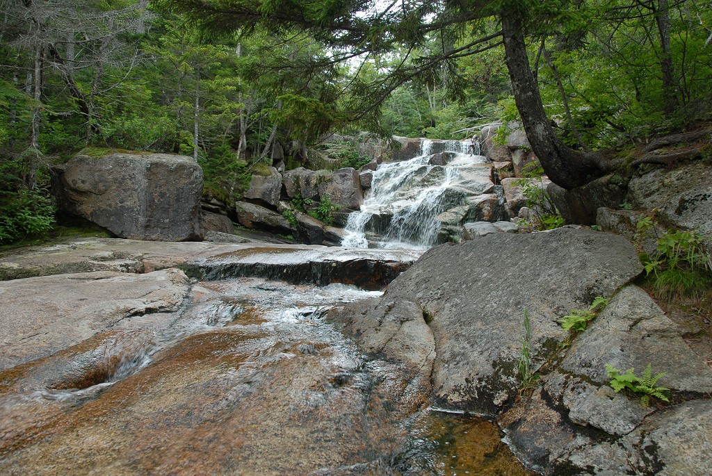
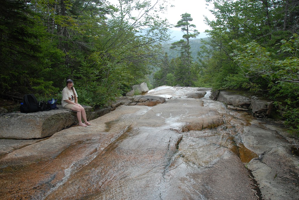
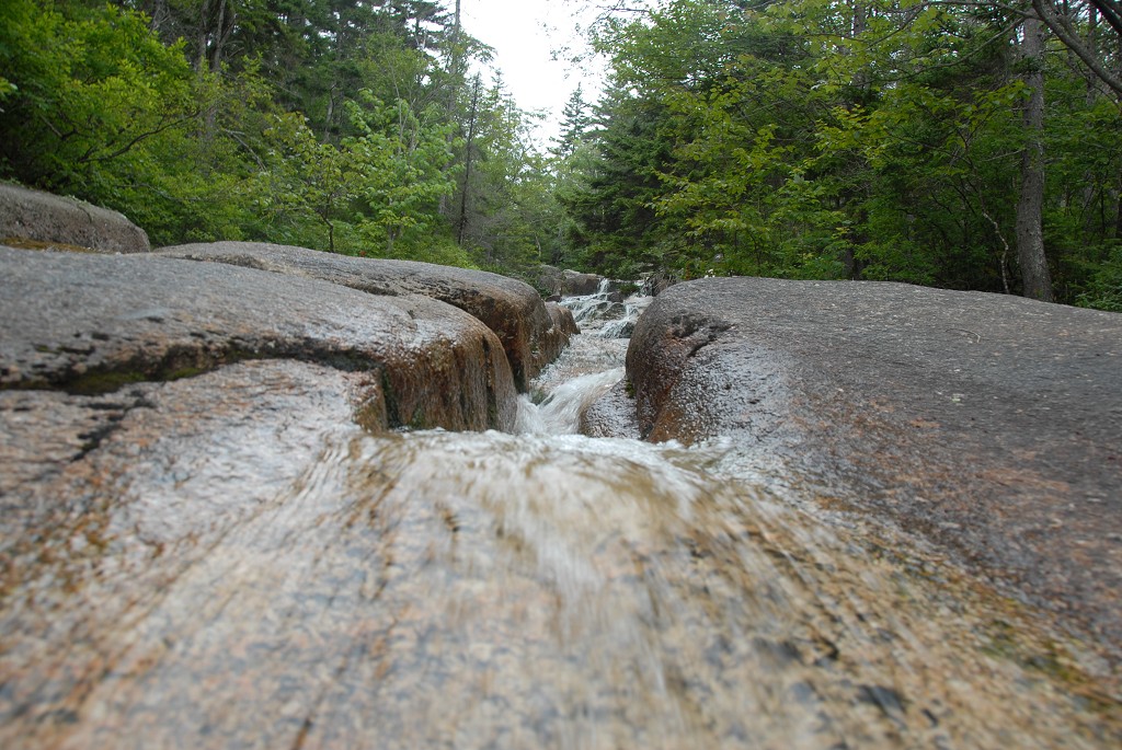
We arrived at the upper end of Zealand Falls right around 11:30 and had our lunch there. After lunch I wandered around the falls taking some photos but then a little after noon the skies decided to open up on us and the rain started. It was just a drizzle at first and we packed up and headed for the Zealand Notch Hut to wait it out. By the time we got there it had turned into a downpour and there were quite a few people huddled around under the porch.
|
The downpour lasted the better part of a half hour before tapering off to a light drizzle again. It didn't stop completely and we had no idea whether it would so we just put our rain coats on and headed down the trail. The trail was very wet now, with slick rocks and plenty of mud.
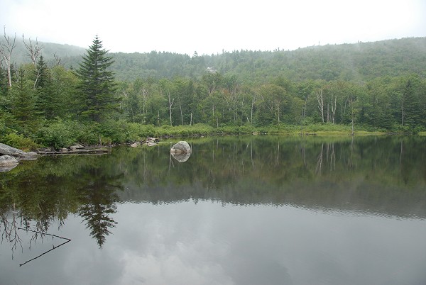
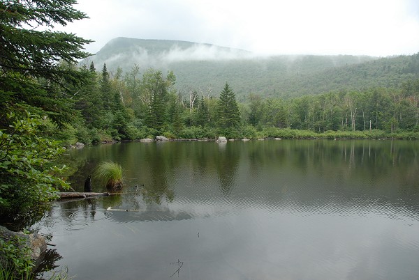
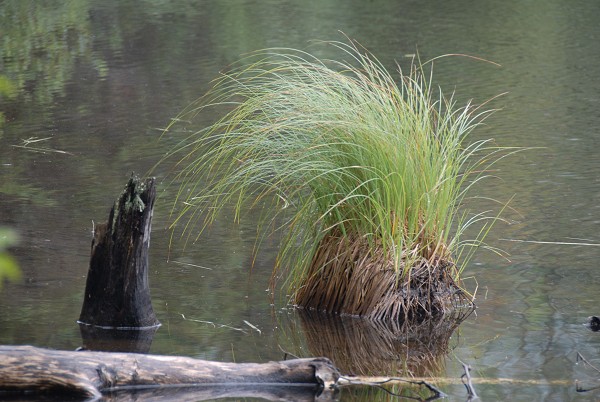
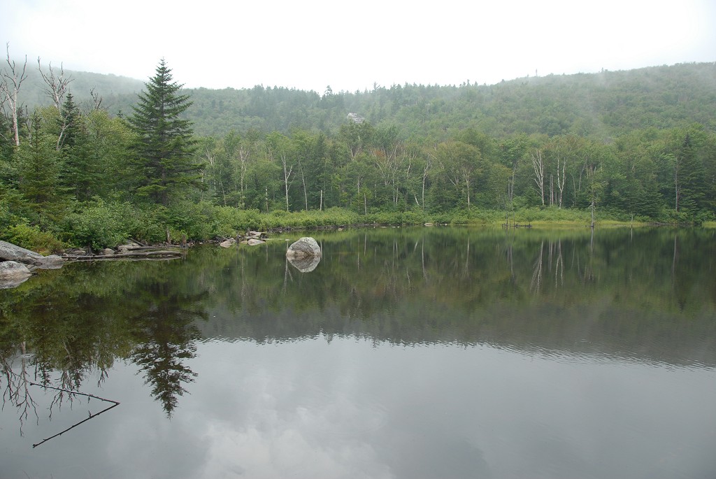
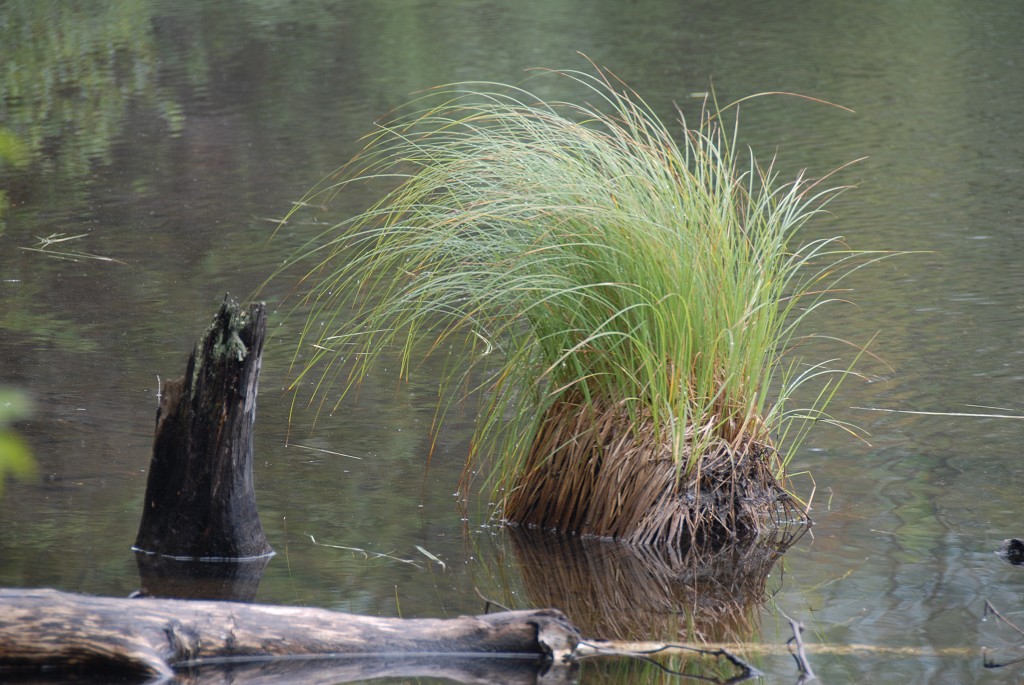
The rain almost stopped for a while as we walked past Zealand Pond and then the beaver ponds along the Zealand River. The clouds were very low though and they never broke to let the Sun shine through. We made it about three quarters of the way back to Zealand Road before the rain started again. It was again a slow drizzle at first and then the skies just opened up and we were caught in another downpour. There was no cover along the trail so we just trudged on through the storm.
After a while with no sign of the rain letting up I told Robin I would go on ahead and retrieve the car from the Hale Brook trailhead and meet her back at the Zealand trailhead. I picked up speed and the rain picked up in intensity. By the time I reached Zealand Road I could not believe how much water was falling from the sky, this had to be the heaviest rain I had ever seen. I still had a mile or so to cover to the car and the rain never let up. It was one of the longest miles I have ever walked.
|
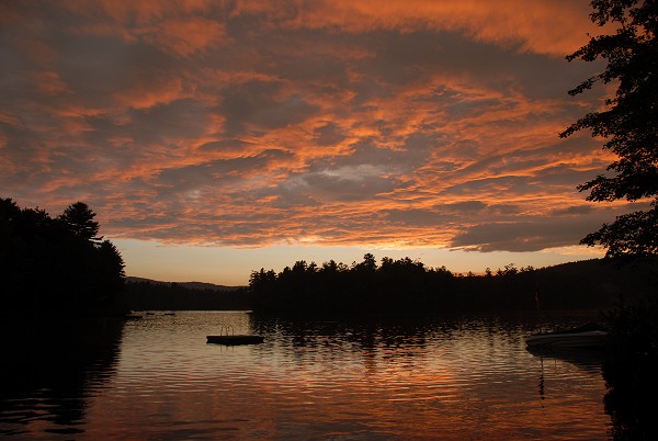
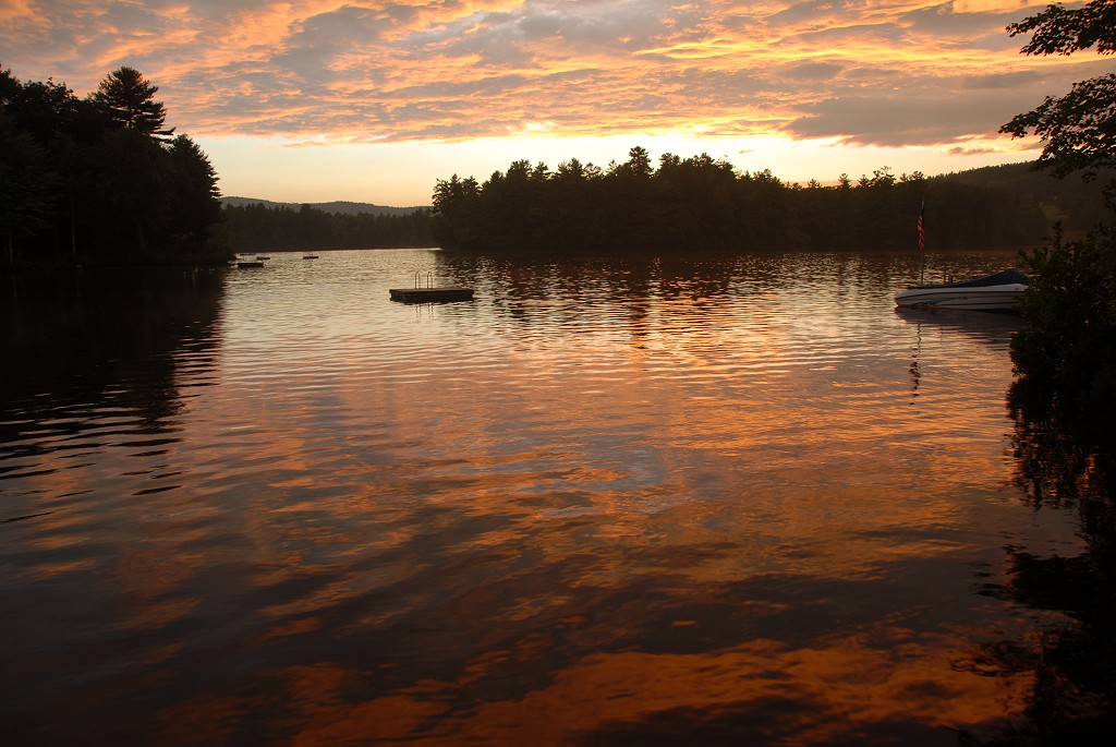
I don't remember what time it was when I finally arrived at the car. Luckily I had some dry clothes inside so I flipped open the hatchback and climbed inside to change into them. I then drove back to the Zealand Trail trailhead and found Robin waiting there for me. She did not have any dry clothes with her and it was a very damp ride back to Meredith. The downpour continued for the ride out along Zealand Road did not finally let up until we were back on the highway. By the time we got back to Meredith the skies were clearing and we were treated to a fabulous sunset over Lake Waukewan.
|
|
|
|---|
|
|---|


