|
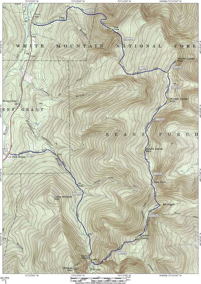
Carter Notch : Carter Dome, Mount Hight, South, Middle & North Carter and Imp Face via Aqueduct Path, Nineteenmile Brook, Carter Moriah, North Carter and Imp Trails |
|---|
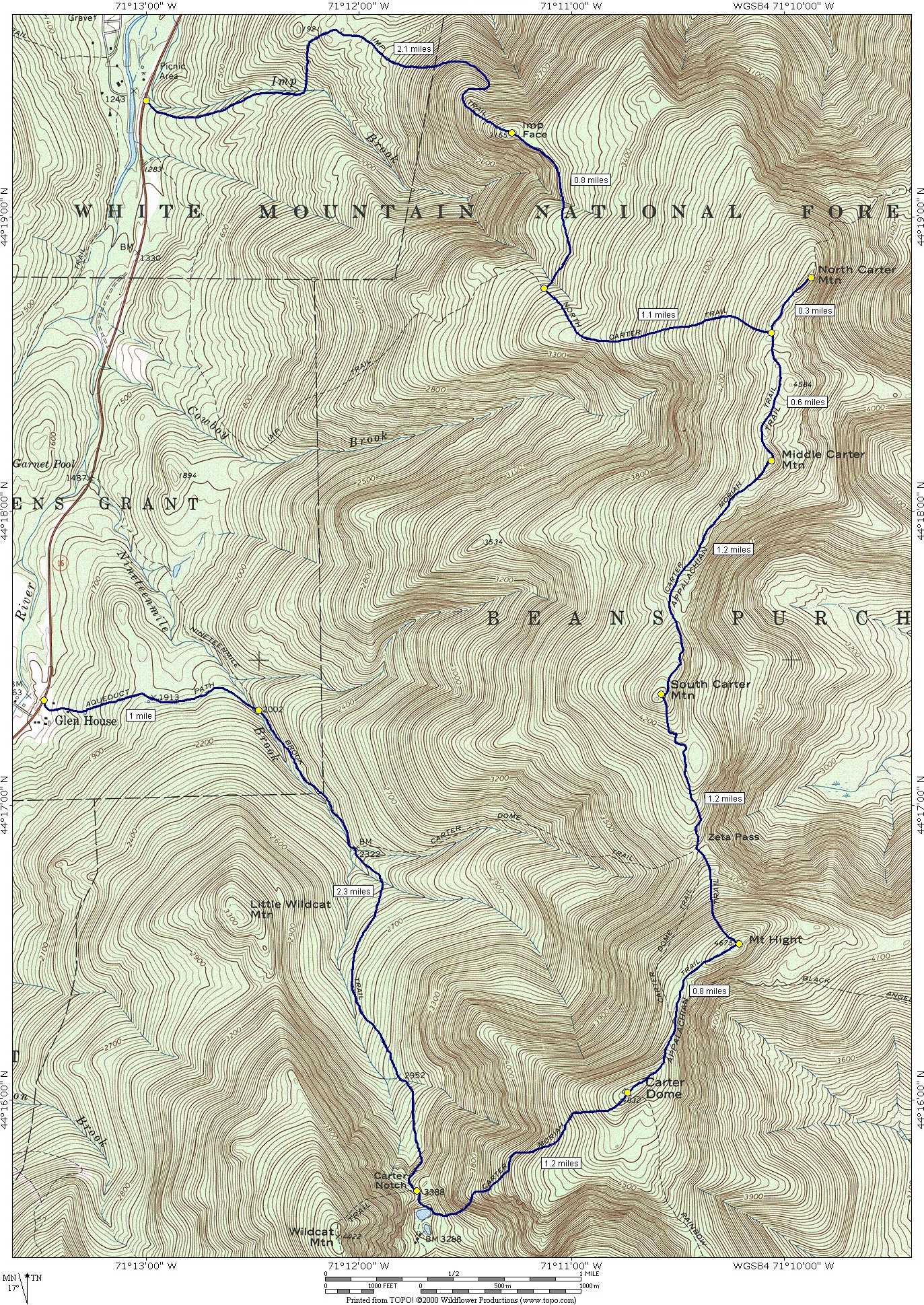
Starting at Glen House this day hike involved going along the Aqueduct Path to its junction with the Nineteenmile Brook Trail and then following that up into Carter Notch. From Carter Notch I went up the Carter Moriah Trail to Carter Dome and then continued along the ridge to Mount Hight, South Carter Mountain, Middle Carter Mountain and finally North Carter Mountain. From North Carter I descended via the North Carter Trail to its junction with the Imp Trail. I headed north along the Imp Trail to Imp Face and then continued down to Route 16. I had planned to walk along Route 16 back to the car at Glen House but only covered about a quarter of the distance before someone driving south asked me if I wanted a ride.
|
The starting point for this hike was the parking lot at Glen House on Route 16. The morning was cool and cloudy and there was the threat of scattered thunder showers for later in the day. I just hoped that the rain would hold off as long as possible.
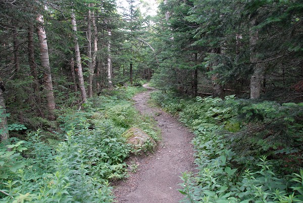
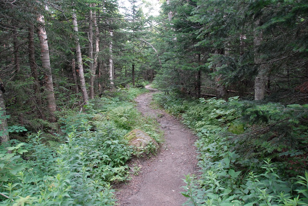
I had a bit of a hard time finding the start of the Aqueduct Path as there are no signs for it at all in the parking lot. It seems that the original Aqueduct Path is now part of the Great Glen Trails ski-touring network of trails and is part of the Aqueduct Loop segment of this. I wandered around behind the structure in the area and finally found it. The Aqueduct Path portion of the hike was pretty easy and starts with a gentle climb through the forest for about the first half mile. Beyond that it much more level all the way to the old pump house at Nineteenmile Brook.
|
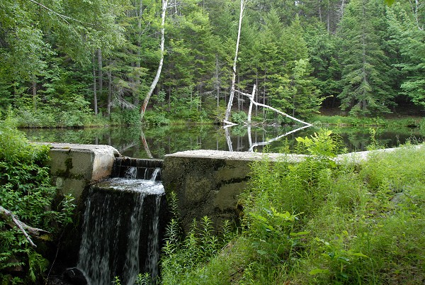
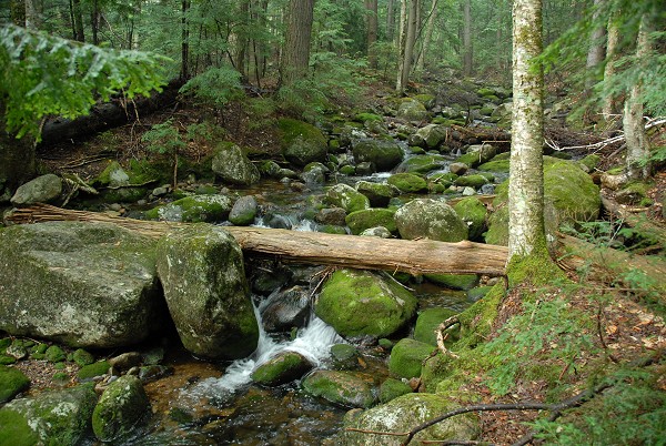
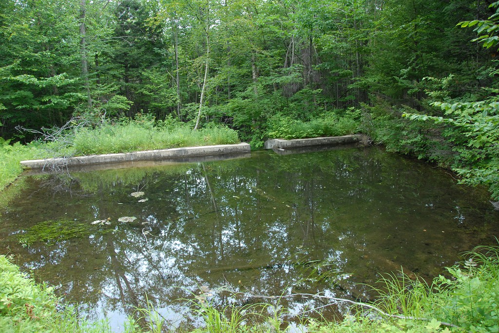
I arrived at the pump house a little after 8:00 and sat down and had my breakfast next to Nineteenmile Brook there. There was no obvious way across the brook and no signs or any other indication of there being a trail on the other side. After breakfast I climbed down past the pump house to the brook, crossed to the other side and found a trail which I just assumed was the Nineteenmile Brook Trail.
|
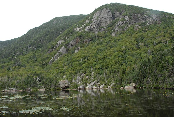
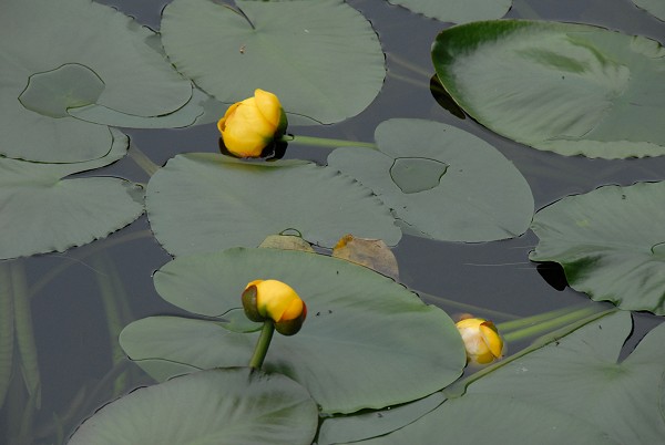
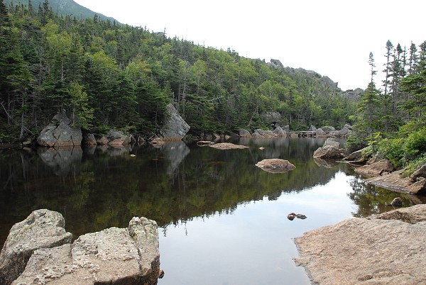
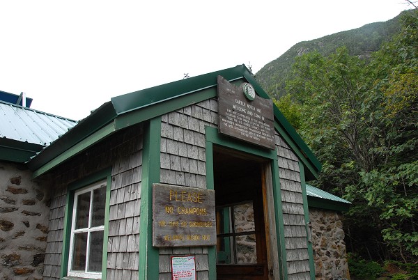
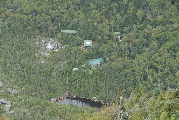
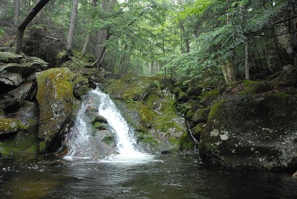
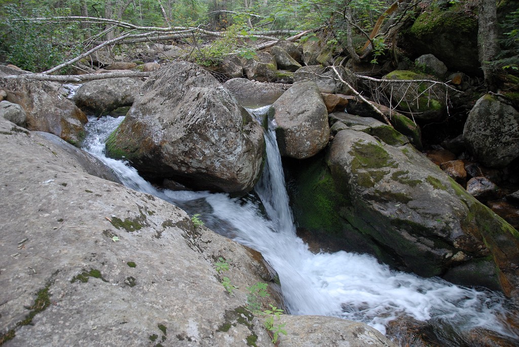
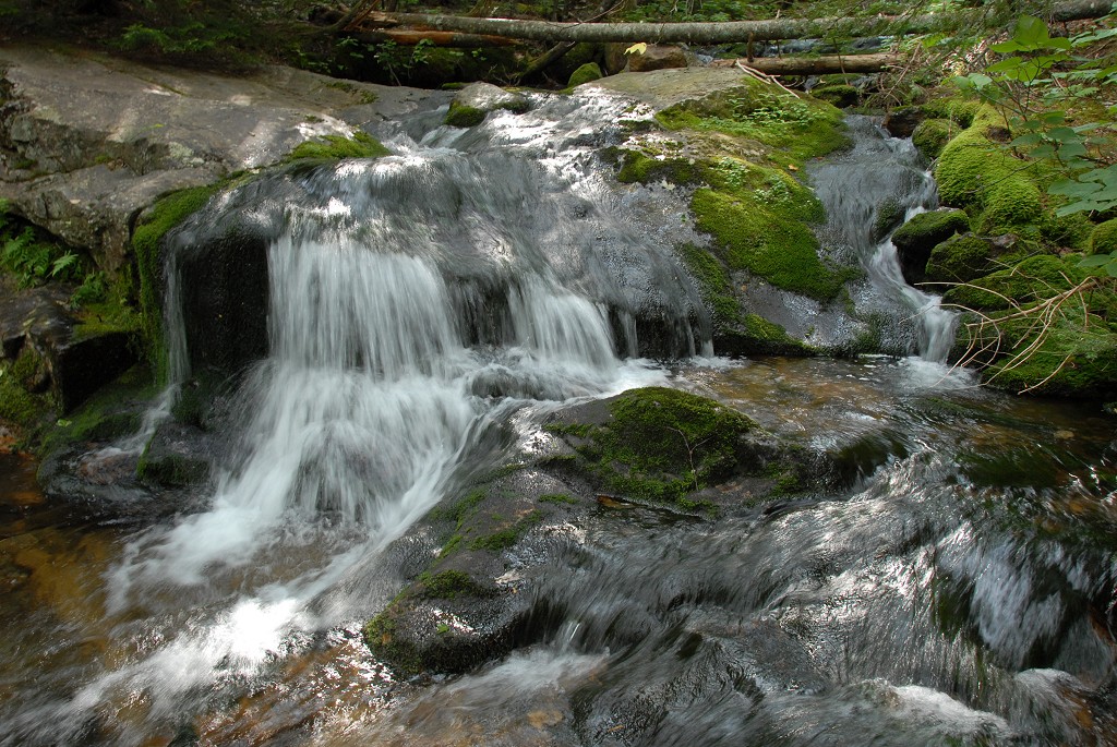
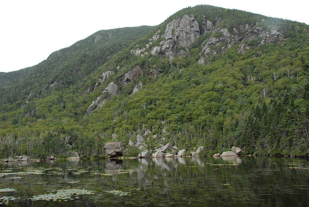
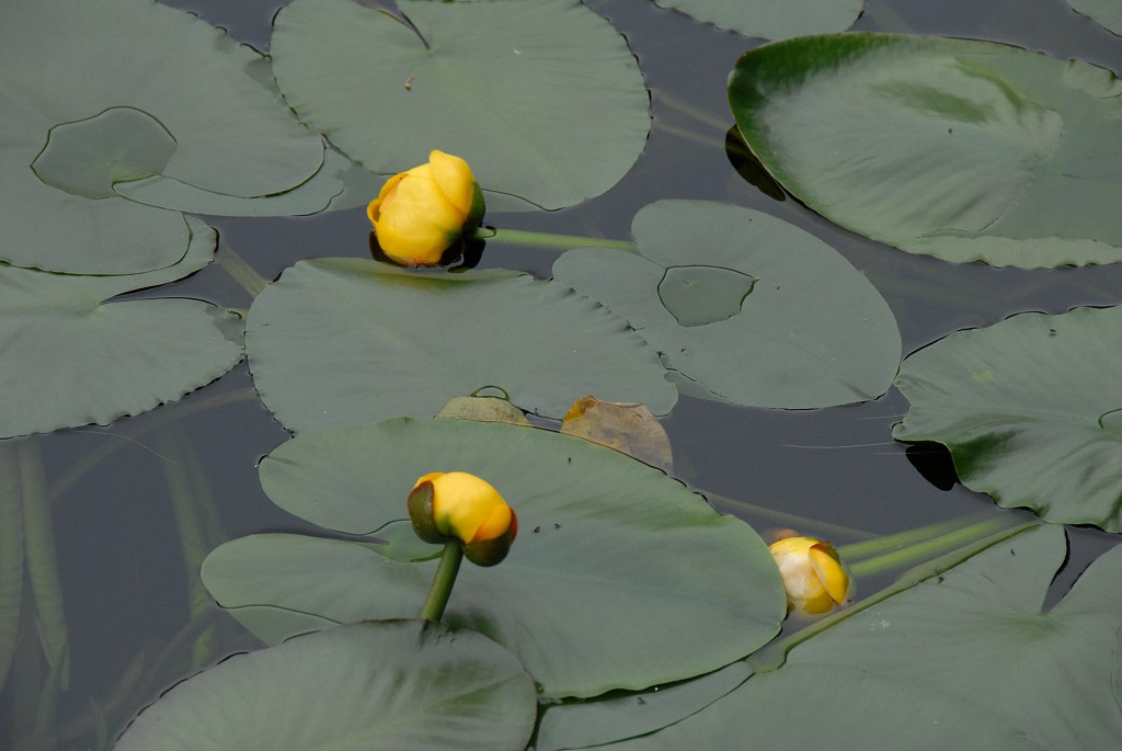
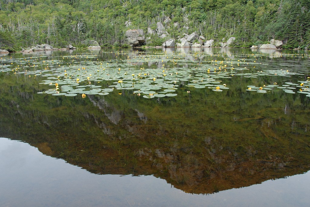
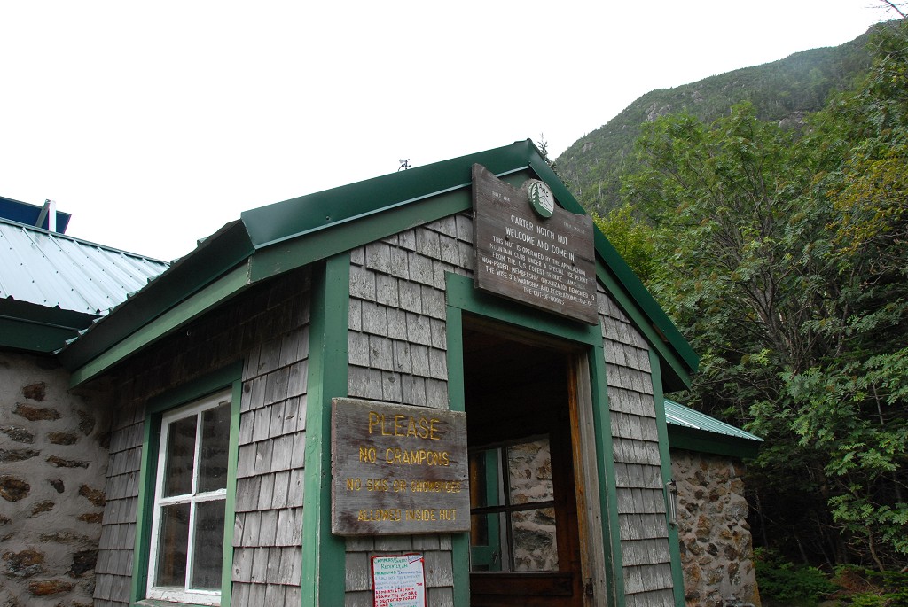
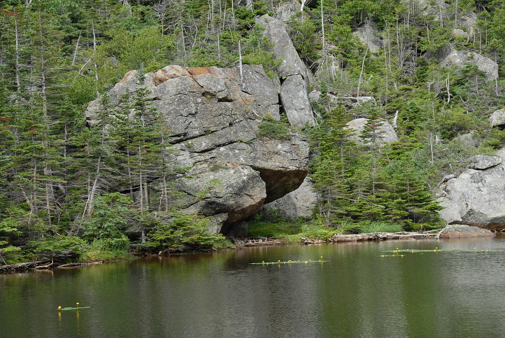
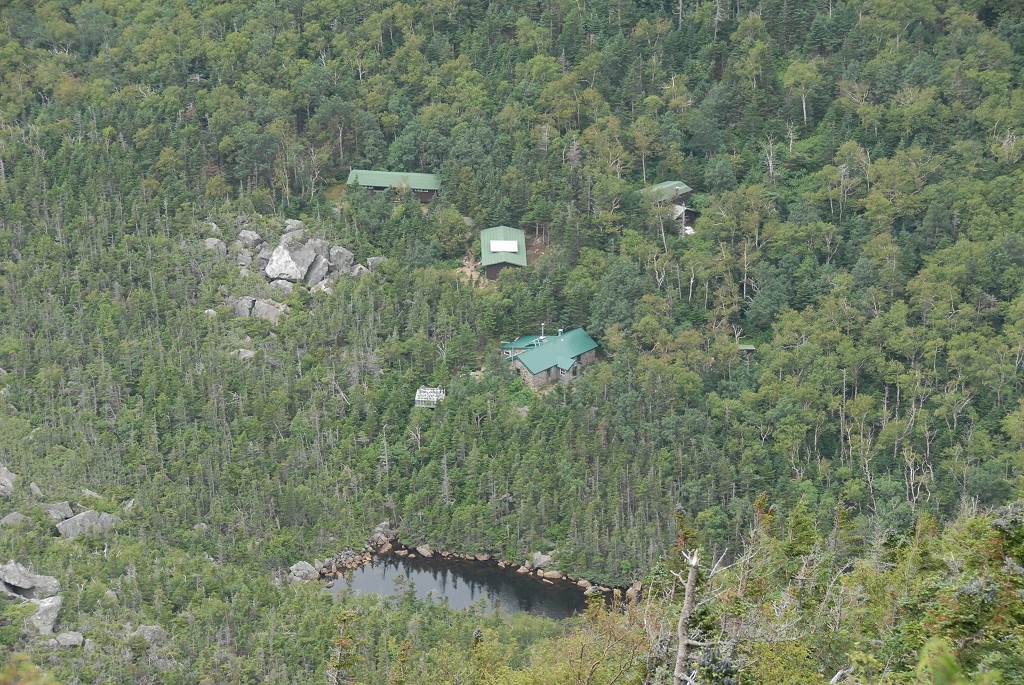
The hike along Nineteenmile Brook was very pleasant and was a gentle uphill climb pretty much all the way to Carter Notch. I made very good time along this section arriving at Carter Notch just a little past 9:30. I made an unplanned side trip to the Carter Notch AMC hut and also spent a little time taking some photos around the pond which put me a little behind schedule for the day.
|
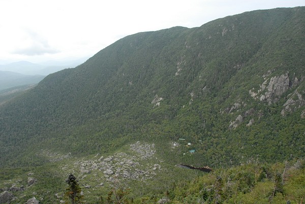
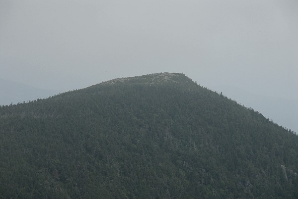
I left the Carter Notch area a little after 10:00 and begin the climb along the Carter Moriah Trail towards Carter Dome. The lower portion of the trail in the first half mile or so was quite steep but above that the grade becomes much more tolerable. There were some very nice views of the notch area from a couple of clear vantage points along the trail and I reached the summit of Carter Dome around 11:15.
|
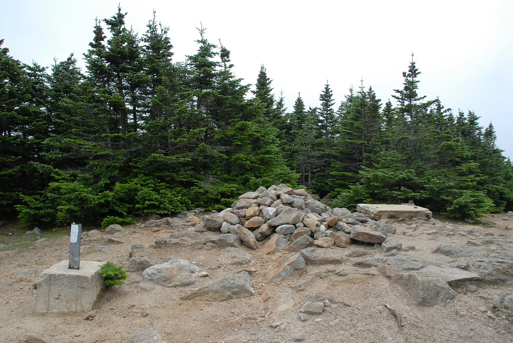
I did not spend much time at all on Carter Dome as I was running very much behind schedule, by about 2 hours, already for the day. The numerous rest/photo stops and the unplanned side trip to Carter Lake and the AMC hut were to blame for this and I really ha dto try and make up for some of that time. I set my sights on Mount Hight and pushed forward.
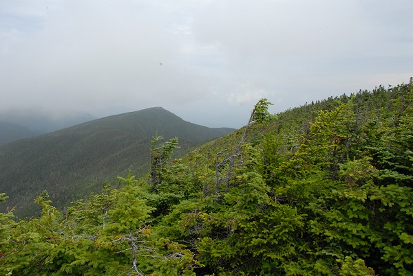
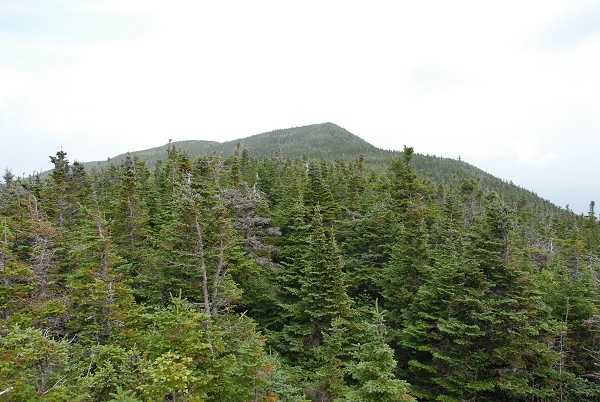
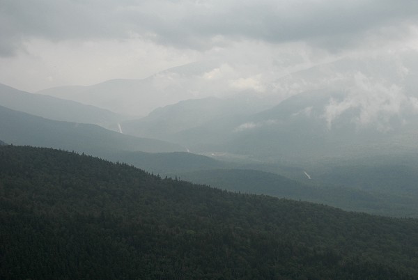
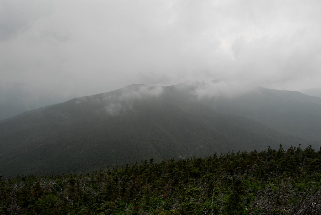
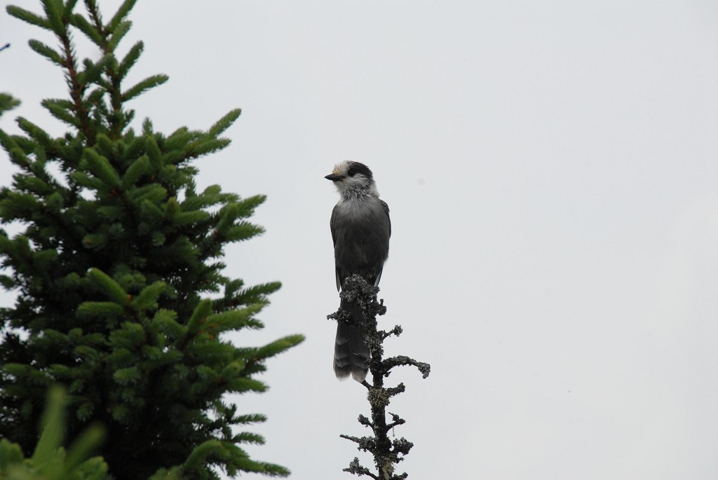
About a half hour later I was on top of Mount Hight gazing out along Carter Ridge towards Zeta Pass and South Carter Mountain. There was a short sprinkle of rain while on top of Mount Hight but it was not enough for me to break out the rain gear. There were lots of clouds milling about the summits and this was just from one blowing over Mount Hight. There was still a long way to go and the weather definitely did not look like it was going to improve. I found a spot with a good view of the ridge and took a short rest to eat my lunch before continuing on.
|
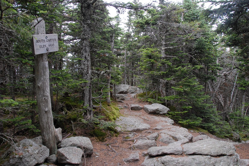
I left the summit of Mount Hight around 12:15 or so, heading for Zeta Pass and South Carter. The one advantage to this weather was that it was nice and cool and as long as it wasn't raining it was pretty good for hiking in. I crossed Zeta Pass and the junction with the Carter Dome Trail around 12:30 and briefly thought about bailing out on the rest of the hike but decided I was just too close to be giving in at this point. The rest of the summits were wooded and there were not likely to be any further fantastic views anyway so I might as well just bad them now and get it over with. I continued on and up along the Carter Moriah Trail and reached the summit of South Carter just a little before 13:00.
|
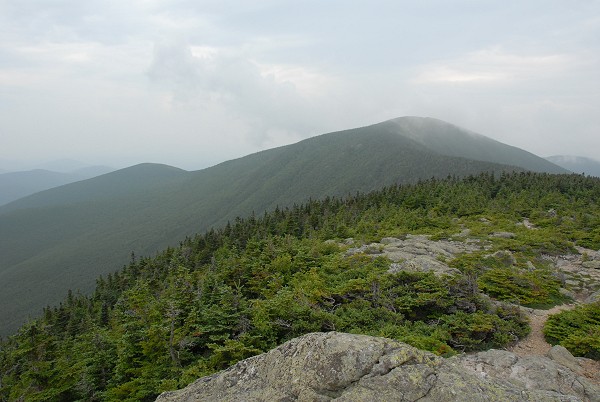
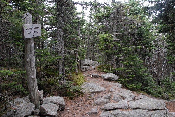
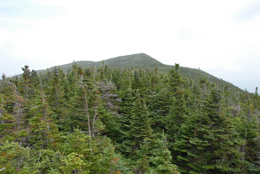
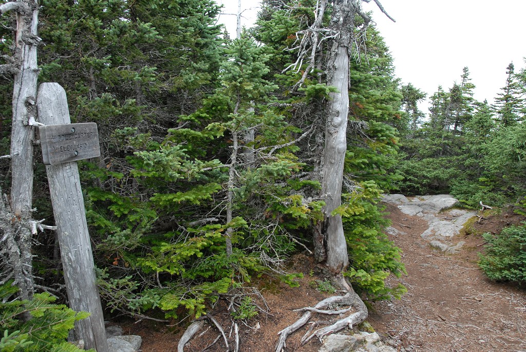
I did not stop at all on South Carter as there was nothing to see there anyway. I just pushed on along the ridge and headed for Middle Carter. The were some little ups and downs along the ridge but it was mostly a very pleasant hike. There was a gradual descent from South Carter and then a little more of a climb to Middle Carter, which is a little higher. I arrived at the summit of Middle Carter around 13:45.
|
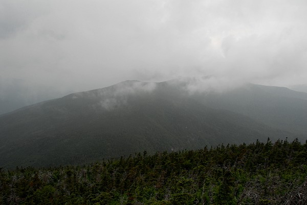
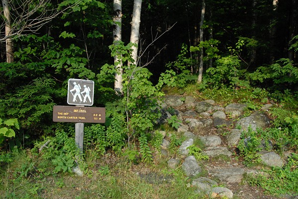
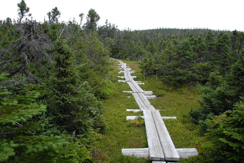
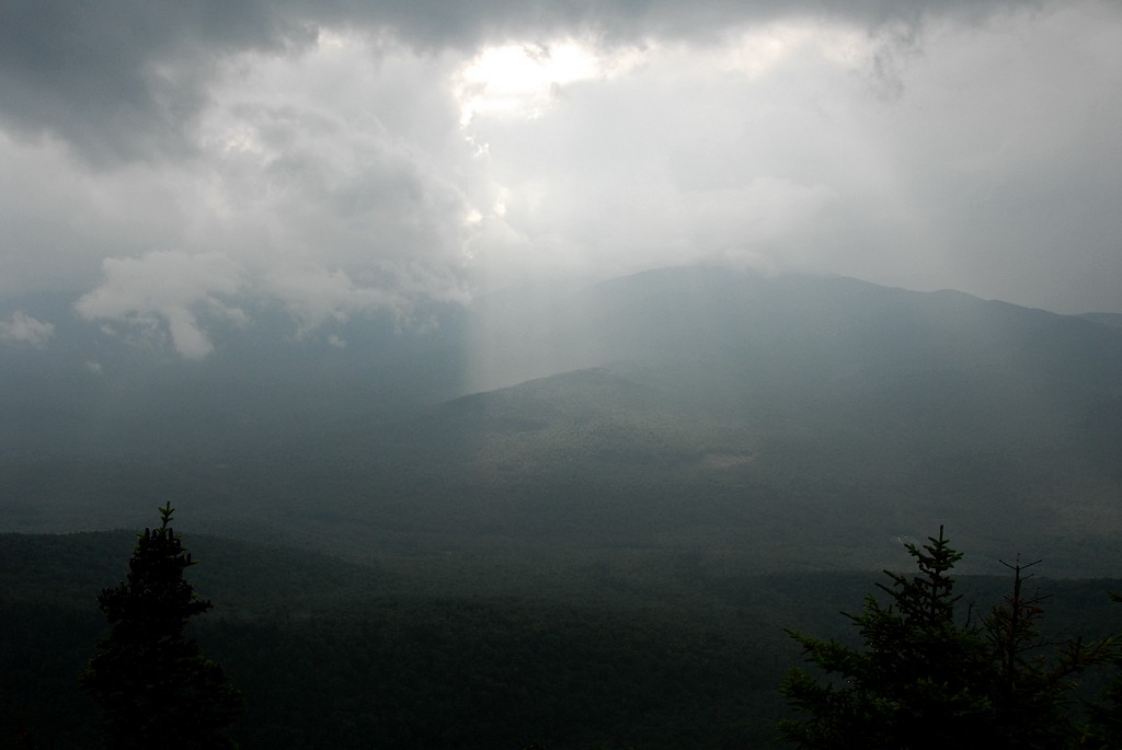
I didn't waste much time on Middle Carter either, I just took a few pictures are continued along the ridge to North Carter. The boardwalk section along the ridge was nice and easy and I arrived at the junction with the North Carter Trail around 14:00 and then at the summit of North Carter a little before 14:30. I felt a few rain drops while on top of North Carter and the sky, which had brightened considerably during past couple of hours, was now beginning to darken again.
|
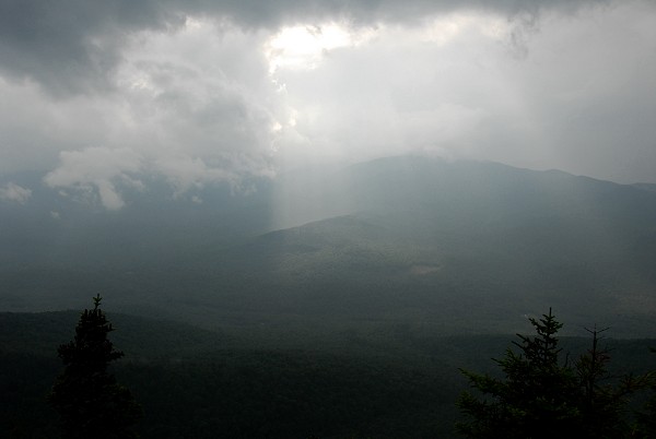
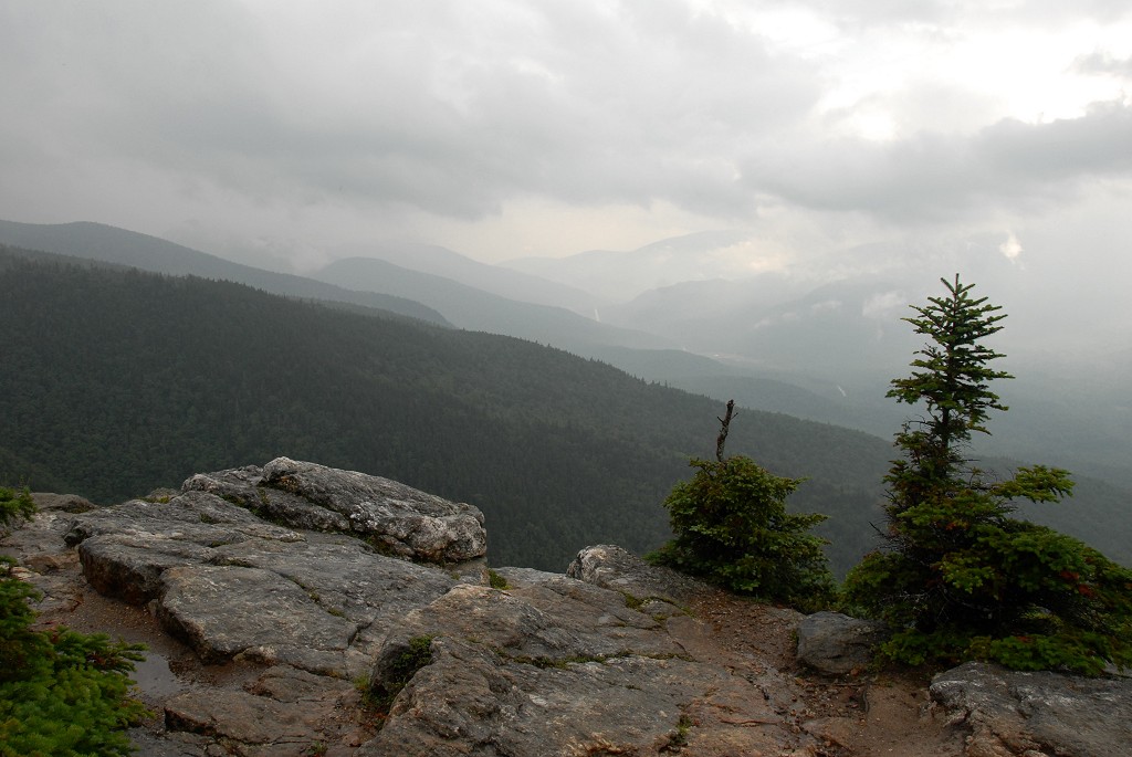
From the North Carter summit I began a mad dash back down the trail, hoping to get as much distance behind me before the weather got much worse. It continued to drizzle all the way down to the North Carter Trail's junction with the Imp Trail. Almost as soon as I started north along the Imp Trail though the sky decided to let loose and the rain was coming down in buckets. Luckily I had rain gear with me and got into it as quickly as I could. By the time I reached Imp Face it looked like the worst of it was over aleady. The rain had slowed to a slow drizzle again and although the valley was filled with low hanging clouds there were also a few breaks where the sun was shining through.
|
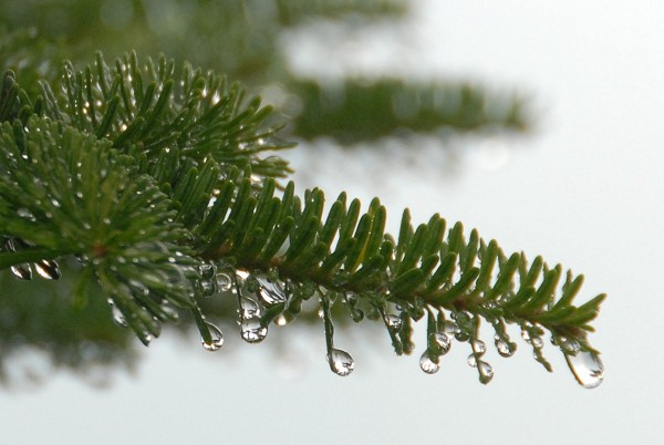
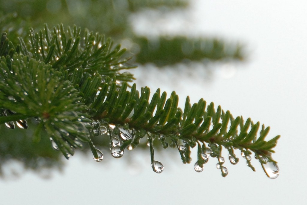
I took a brief rest at Imp Face and enjoyed the view for a while before continuing down the trail. I kept my rain gear on because I was not completely sure the rain was over. The rain had pretty much stopped by the time I left Imp Face but everything was thoroughly soaked from the cloudbust and there was plenty of water still falling from the trees themselves.
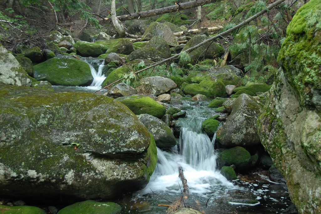
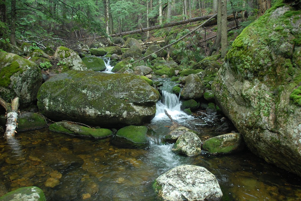
I knew that I was almost home free when the Imp Trail met up with Imp Brook. After crossing the brook the trail turns west and follows it all the way back to Route 16. I arrived at the Imp Trail trailhead just a little past 18:15.
|
|
|
|---|
|
|---|


