|
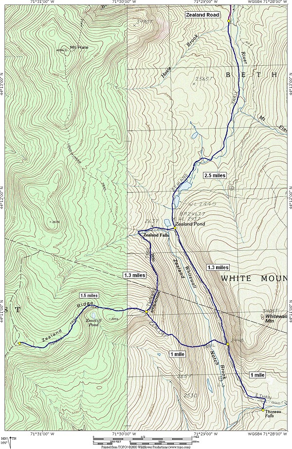
Zealand Notch, Zealand Falls, Zealand Ridge and Thoreau Falls via Zealand, Twinway, Zeacliff and Ethan Pond Trails |
|---|
This day hike involved going along the Zealand Trail to Zealand Falls and the AMC hut located there. From there I went up the Twinway Trail to Zealcliff and then continued along Zealand Ridge to the summit of Mount Zealand, with a short detour to see Zeacliff Pond. On the way back down I left the Twinway Trail at Zeacliff and followed the Zeacliff Trail down to Whitewall Brook. After crossing the brook I took the Ethan Pond Trail to Thoreau Falls. The return trip from there was via the Ethan Pond Trail back to the Zealand Trail back to the parking area. It was a fairly long day hike starting around 7:30 am and not finishing until around 5 pm.
|
I was up at 4 am and on the road by 4:20. I made a quick stop in Meredith, New Hampshire for gas and some food and arrived at the trailhead just before 7:30. When I got to the trailhead and starting packing up for the hike I realized the jerky I had purchased at the convenience store had not made it into my sack, so I was short one food item. So I would be a little hungry by the end of the day... no big deal. I had anticipated finishing this trip by 3 but the actually hiking time was about 1½ hours longer than expected and I started a half hour late, so.... All minor inconveniences which are totally obscured by all of the good stuff.
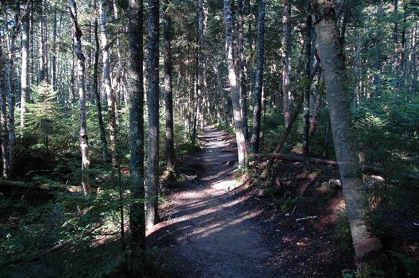
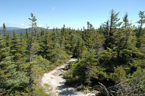
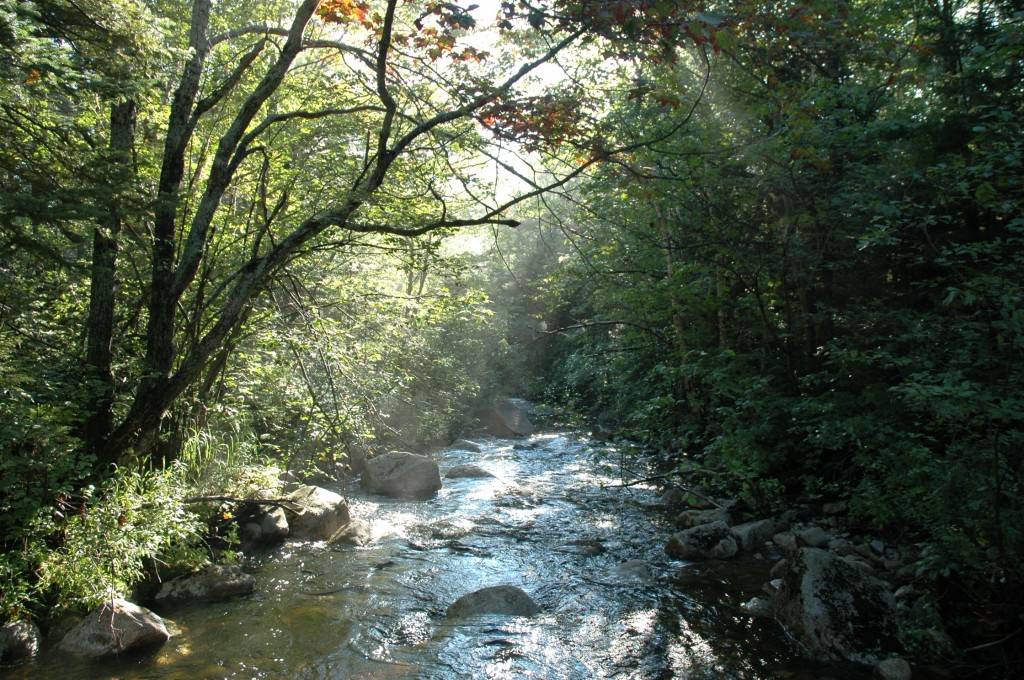
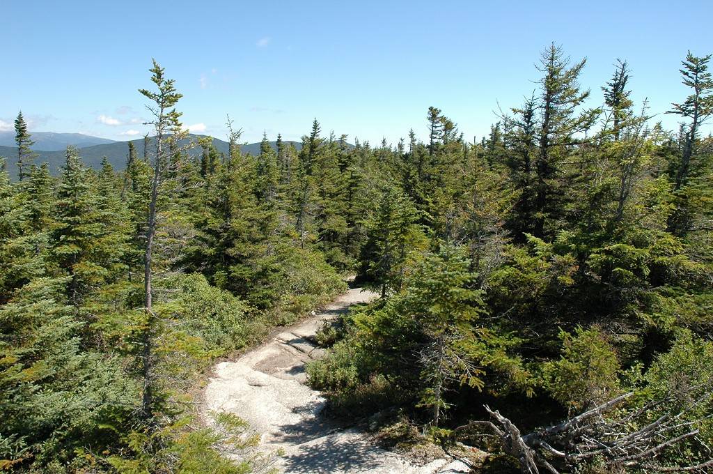
I start hiking a little after 7:30. It was a glorious morning for hiking, a little cold at the start if anything, but I was still warm enough with just the T-shirt after only a few minutes of brisk walking. The Zealand Trail follows along the Zealand River to Zealand Pond and the Zealand Pond/Falls AMC Hut. The trail is mostly level and quite an enjoyable stroll through the forest. The only bad spot is about ¼-mile in and runs for about another ¼-mile where there are lots of roots and rocks that will really slow you down.
|
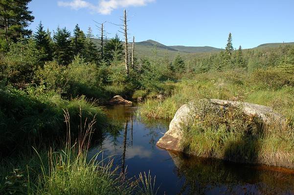
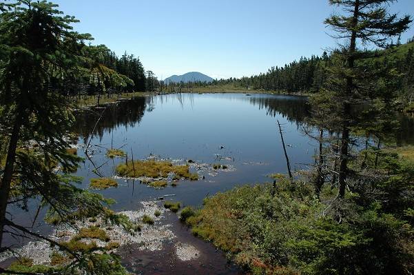
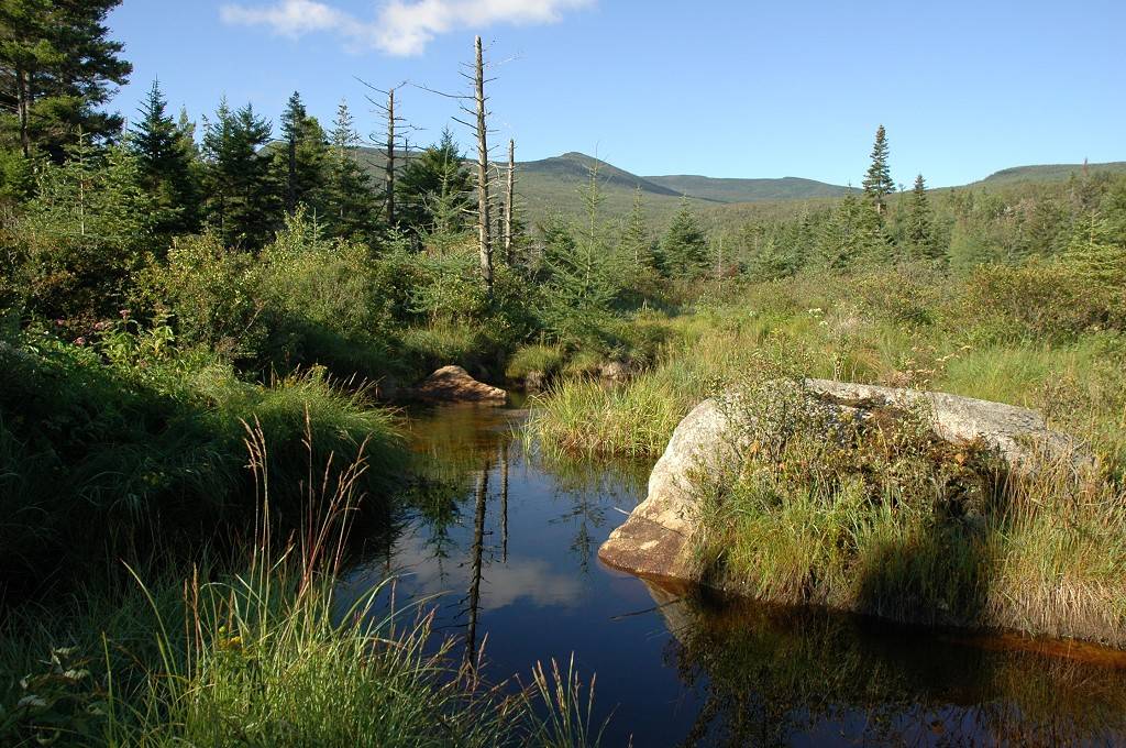
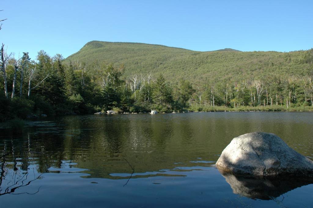
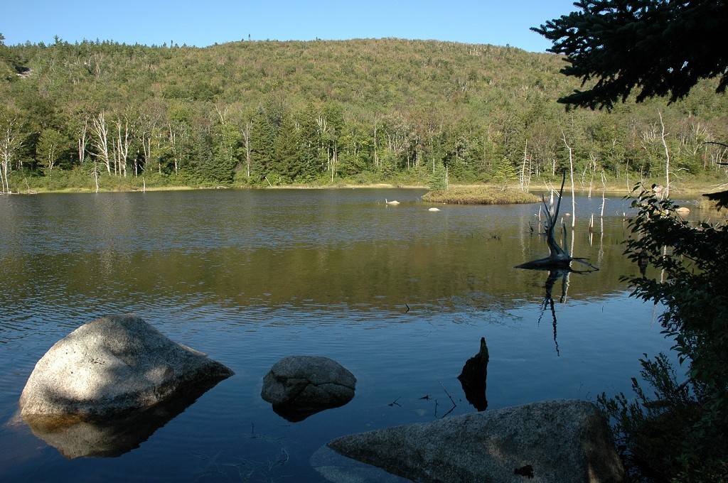
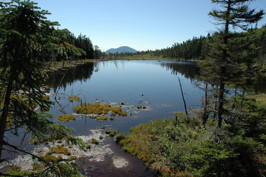
Beyond that one rough section the trail is wonderfully flat again all the way to Zealand Pond. In the upper sections the trail goes alongside meadows and ponds created by what must be an abundance of beaver living in the area. I saw only one beaver dam and one lodge but there must be many more to account for all of this.
|
|
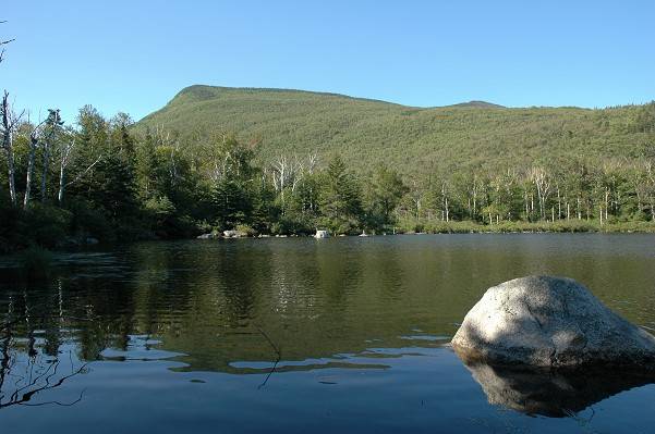
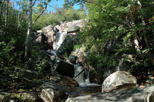
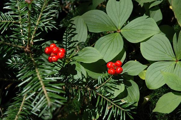
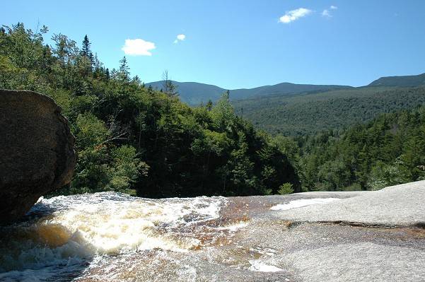
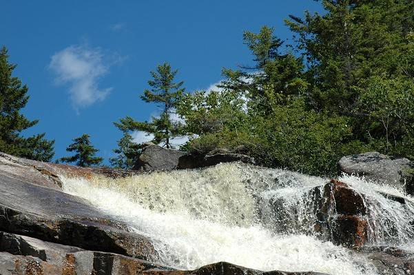
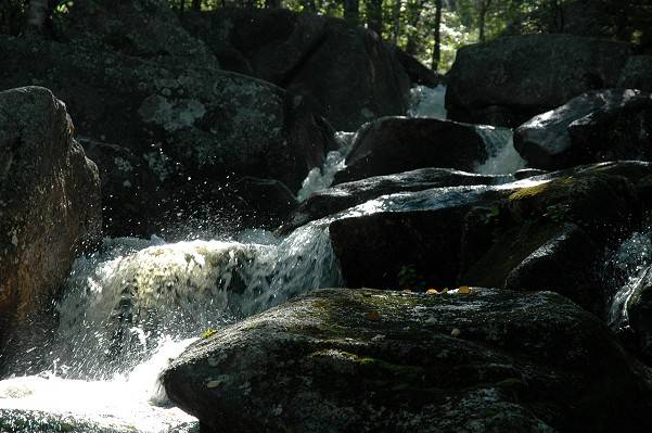
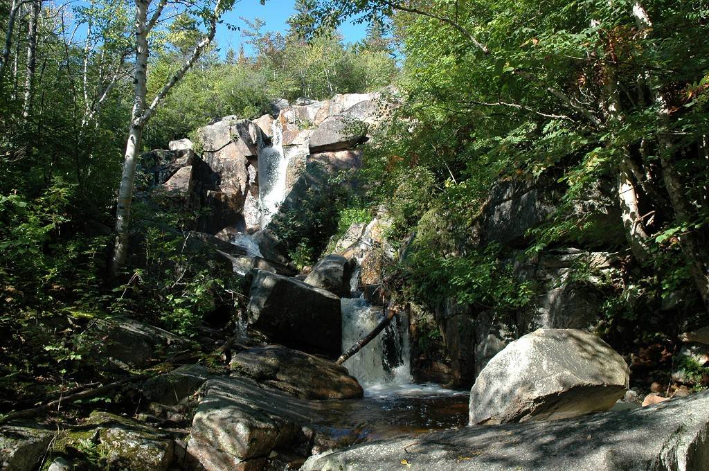
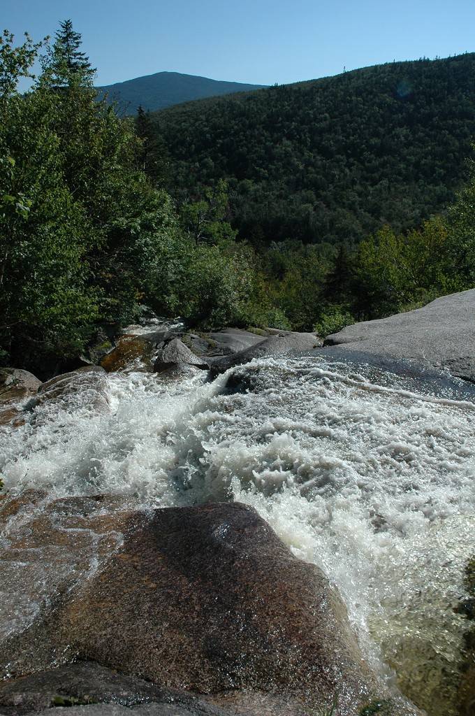
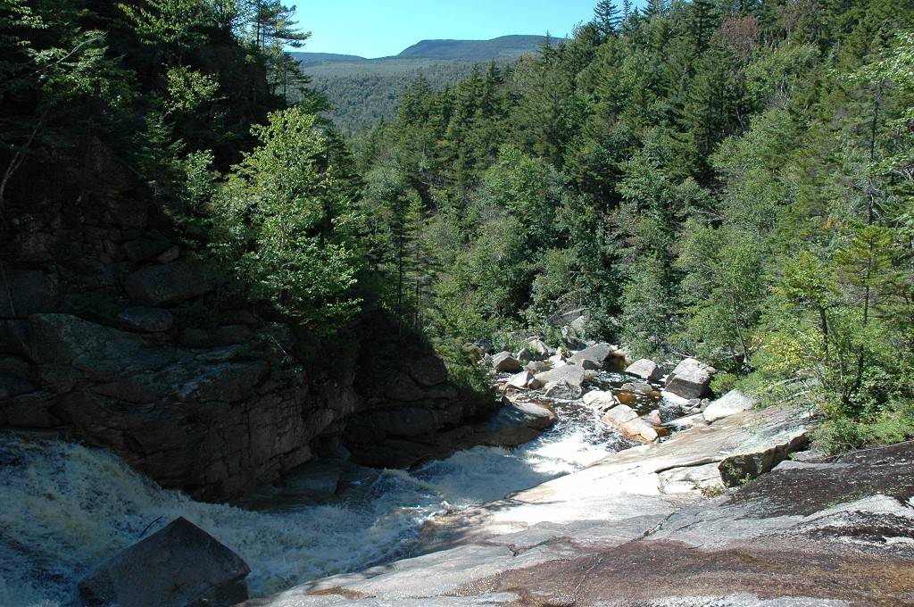
At the south end of Zealand Pond the trail climbs for perhaps¼-½ mile as it ascends to Zealand Falls and the Zealand Pond/Falls hut. The falls were wonderful and this was my first true "blueberry encounter" for the day. I had seen some bushes along the meadows and ponds on the way in but really didn't give them a second thought as most of the bushes had already been picked clean. When I started to climb around the falls to get "that perfect shot" I found myself in a patch of bushes that was simply teaming with berries. No one had obviously been up here in a long time and these were going to be all mine. I had an awesome view of the falls and just sat there for a while eating handful after handful of them. Mmmmm, blueberries.
|
Beyond the falls the trail climbs to the hut but there were quite a few people hanging around up there so I didn't stay long. I walked over to the river to get some shots above the falls and one of the hiker-girl-dudes at the hut saw me shooting and came over and started asking me all kinds of questions about the camera. She was one of those people who has not gone digital yet and was totally fascinated by it. She had just purchased a new 35mm camera and now she was regretting it.
|
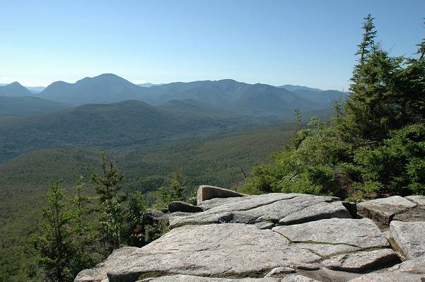
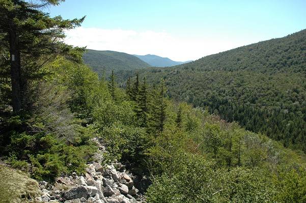
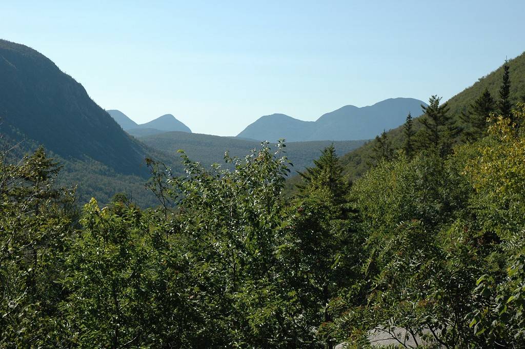
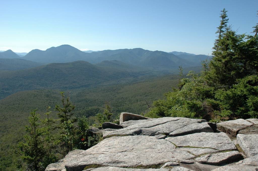
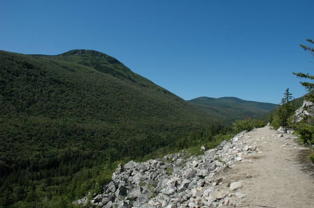
From the hut I took the Twinway Trail up to Zeacliff and Zealand Ridge. It was a good climb but not difficult at all, nothing like the prior two hikes/climbs in this area a few weeks back. The view from Zeacliff was spetacular and the entire Pemigewasset Wilderness was simply laid out before me. I stayed there for a while, took in the view, and ate some of my trail mix. There were also lots of blueberry bushes and since not as many people venture up this high as do along the lower trails, there were still lots of berries on them. I could not resist and they were a pleasant addition to the trail mix.
|
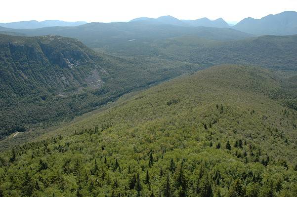
From Zeacliff I hiked west along Zealand Ridge towards Mount Zealand. I passed the Zeacliff Trail, the route I would be taking down from the ridge, and also took the spur trail down to Zeacliff Pond, to see that. There were blueberries growing all along the ridge and I stopped to partake several times along the way. I was in my glory as far as the blueberry situation. I had seen very few on the prior two hikes only a few weeks ago and I attributed this to the fact that those hikes were all along north facing slopes and ridges that were too damp and did not get the proper amounts of sunlight needed for blueberries. Blueberries like lots of sunshine and soil that is well drained and the trails I did yesterday were just perfect. I was in blueberry heaven.
|
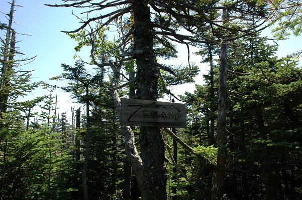
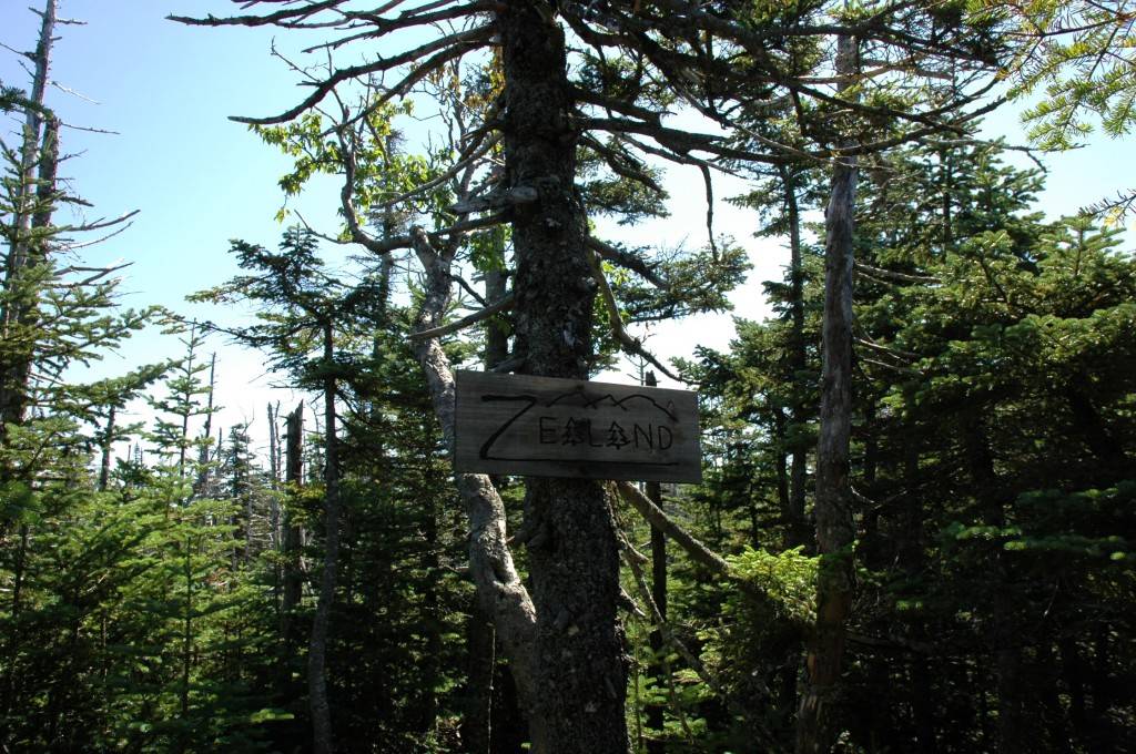
Mount Zealand itself was a bust---just another pile of rocks surrounded by trees. There were no views to be had from there but I knew that ahead of time. The best view was the one from Zeacliff and I was perfectly content with that. I stayed just long enough to get a photo of the pile of rocks and the sign and then headed back to the Zeacliff Trail to start down. I ate some more blueberries along the way of course and I probably ate a pound or more of them in the course of the day. Mmmmm, blueberries.
|
I raced back along the Twinway Trail towards its junction with the Zeacliff Trail and did it in much less time than I had on the way coming up. I did stop to take a few photos but I did not stop to pick any more blueberries even though many of the bushes up along the ridge were quite tempting.
|
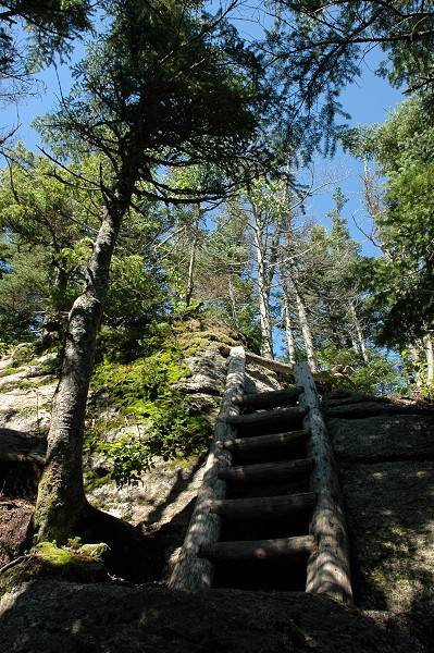
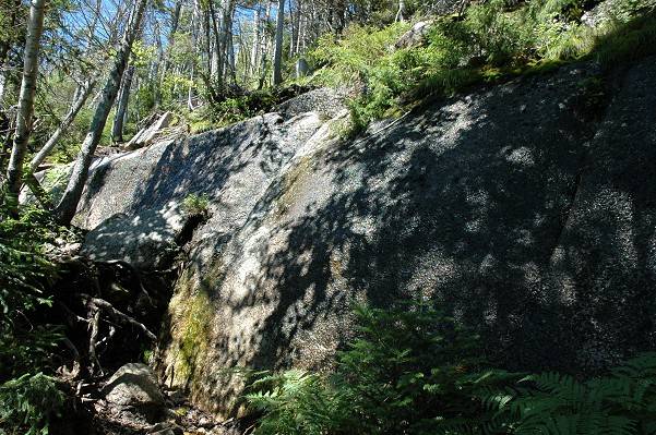
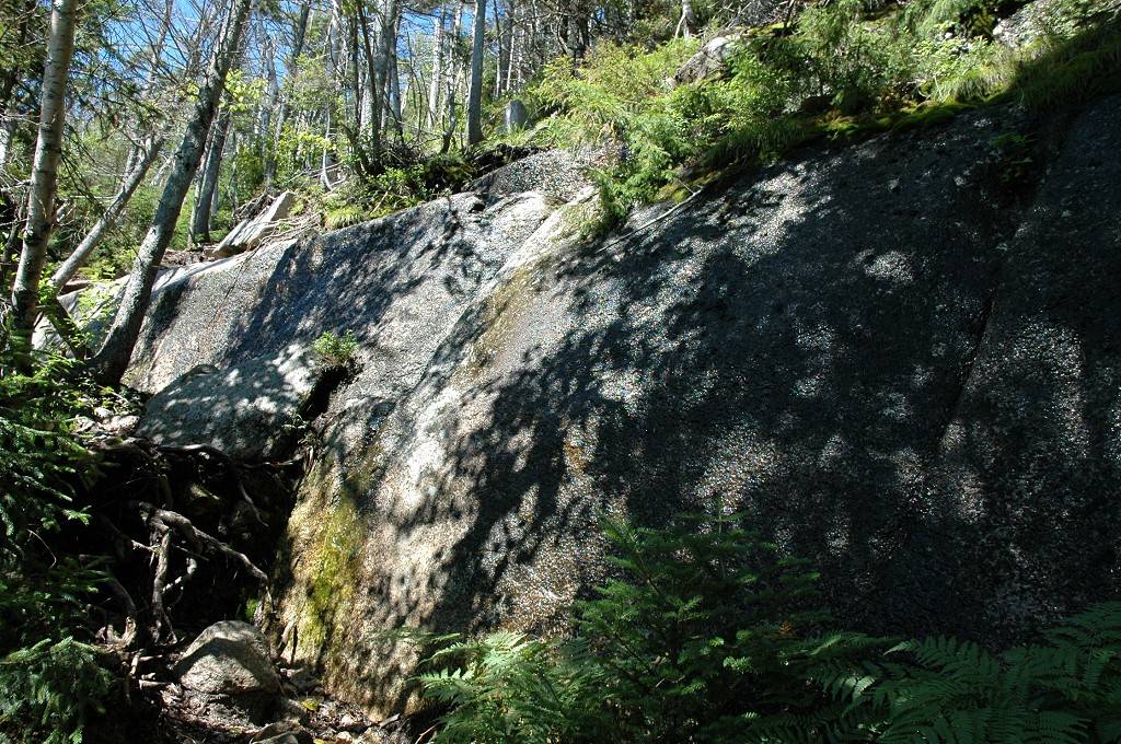
The Zeacliff Trail was... well, it was interesting. This trail obviously does not get a lot of use and was a trail only by the most primitive of definitions. This is one of the few trails in the White Mountains I've been on that actually required some route finding abilities; it seems to just disappear into the forest from time to time. The path itself is not very wide and it is very overgrown in most places. There was also one cliff that was a little tricky to get down and could be even more interesting if you happened to be coming up this trail. This is also an uncommon occurrence for trails in the Whites as usually there is a ladder or "something" to get past these things. It was nothing compared to cliffs I've descended in the Grand Canyon though.
|
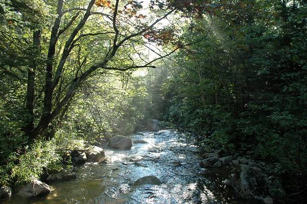
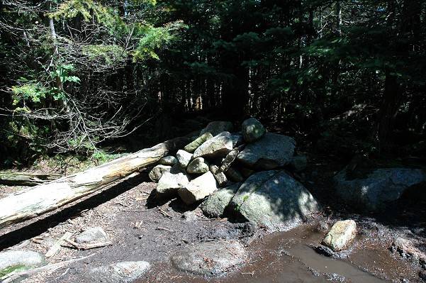
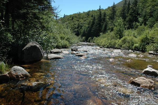
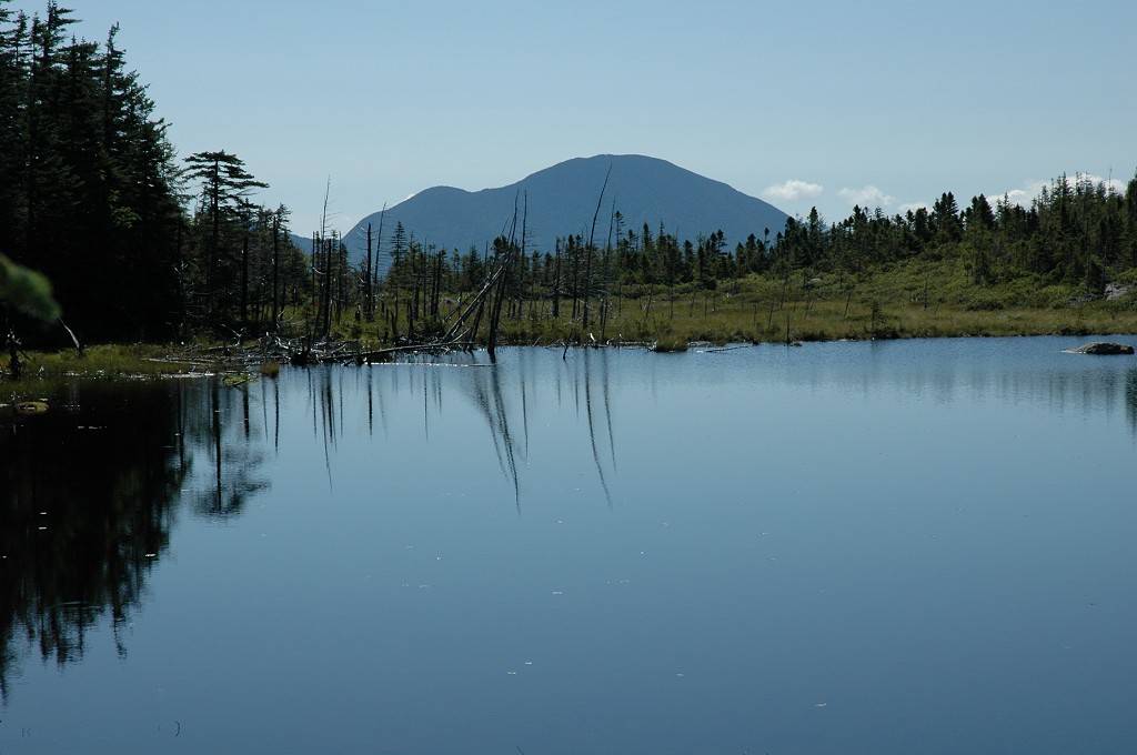
The Zeacliff Trail brought me down to Whitehall Brook, which I had to cross to get to the Ethan Pond Trail on the other side. The water level of these rivers, brooks and falls was very high because of the heavy rains the area received the day prior but it still wasn't too difficult to get across. There was also lots of mud to contend with on the trails so at least this gave me an opportunity to wash some of that off. I stopped on the other side of the brook to have some more snacks. There were no blueberries growing along the banks that I could find but I found a huge patch just above the bank on the way up to the other trail.
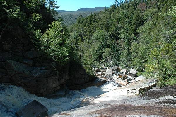
The Ethan Pond Trail was another easy walk and I made great time going to Thoreau Falls at the southern end of Zealand Notch. I think this is pretty much just a continuation of the Zealand Trail and considering how level both of these are I'm guessing they were probably both part of the same railroad grade used during the logging days of the late 1800s and early 1900s.
|
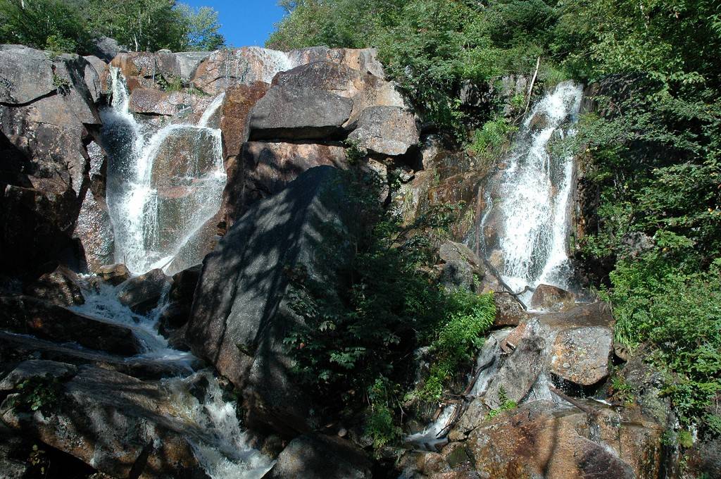
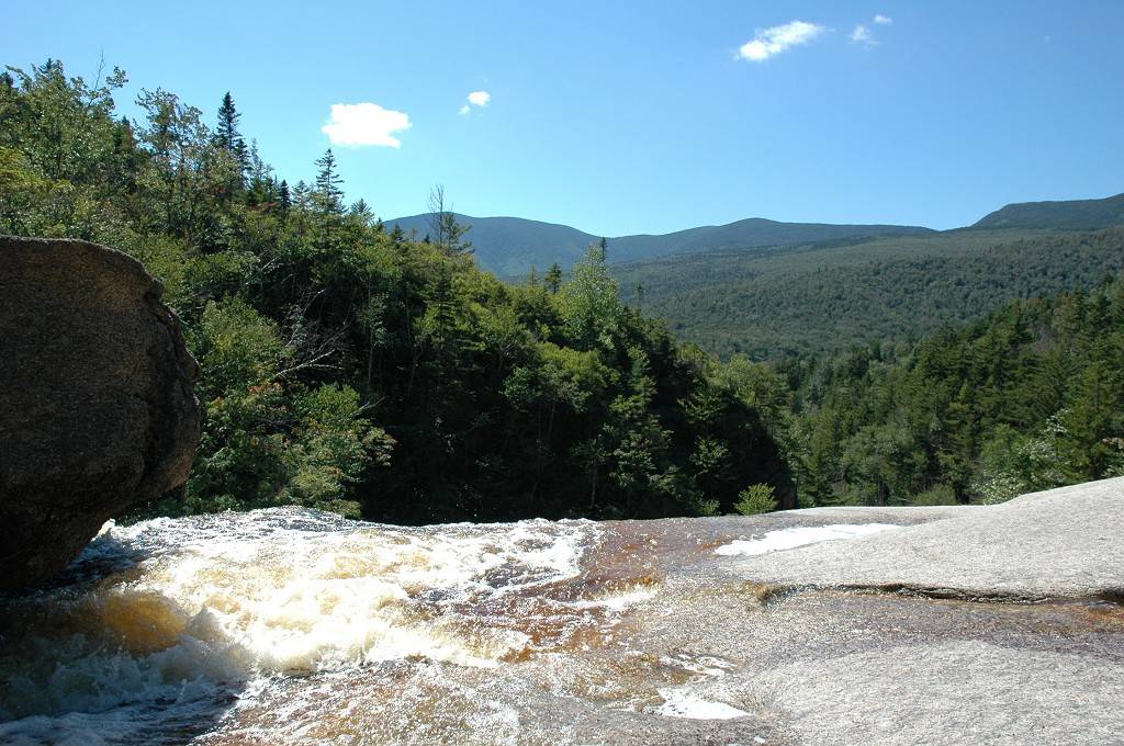
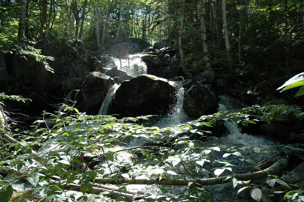
Thoreau Falls was magnificent and was just another of several high points of the day. I would be hard pressed to pick one that was the best. This fall definitely was a higher drop than was Zealand Falls but it was a different type of waterfall with no sheer drop, just a series of smaller drops and ledges over and across which the water cascaded. The falls also made a 90 degree turn along it's descent. It was quite beautiful.
|
Thoreau Falls was pretty much it for the day and all that was left was the almost 5-mile walk along the Ethan Pond and Zealand trails back to the parking lot. I ate lots more blueberries along the Ethan Pond Trail and they finally went away as I got into the darker sections of the trail, closer to Zealand Falls. I found a few more along the Zealand Trail but this trail is used a lot and most of these bushes had been picked clean. I stopped for a while at Zealand Pond and took some photos of the pond and the lower portion of the falls there. I ate the rest of my trail mix and finished off my water and then finally finished the last 2 miles to the car.
|
When I got back to the car I realized that my cell phone battery was dead so I could not call my wife to tell her I was on my way home. I was already about 2 hours past check-in time and was still at least 3 hours from home but there was nothing much to do. I did not want to stop and deal with a pay phone so I just headed home. I hit a fair amount of traffic along the way and the 3 hour ride turned into 3½ hours and I got home around 8:30.
It was simply a fantastic day and one of those days that makes me understand why I am an agnostic and could probably never be an atheist. The beauty of the day itself and the things I witnessed gives me cause to believe there quite possibly could be something else at work here. I don't know for sure but it just seemed a little too perfect to be a totally random occurrence. It seems unlikely that all of the atoms and molecules in the universe could come together like this on their own without a guiding hand/thought. So if there is a God, a Great Spirit, a Cosmic Muffin out there somewhere and perhaps listening... Thank you.
Did I mention there were blueberries!
|
|
|---|
|
|---|


