|
A Day Hike on North and South Twin Mountains in New Hampshire's White Mountains |
|---|
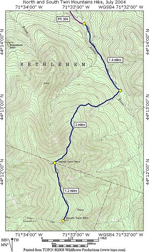
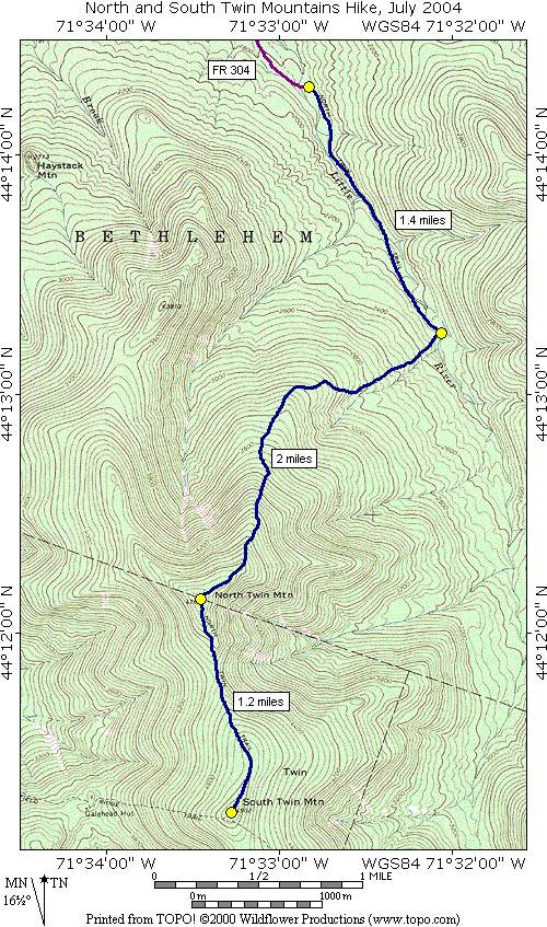
This day hike involved going up the North Twin Trail to the summit of North Twin Mountain and from there along the North Twin Spur to the summit of South Twin Mountain, returning along the same route:
|
The starting point for this hike was the parking lot at the end of Forest Service Road #304 (Little River Road?), about 2.5 miles in from route 3. There was nothing at all marking the road from US 3 and I missed it the first time and only found it on the return pass because I had stored a waypoint for it in my GPS. I was at the trailhead just a little before 7 and was on the trail right at 7.
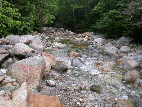
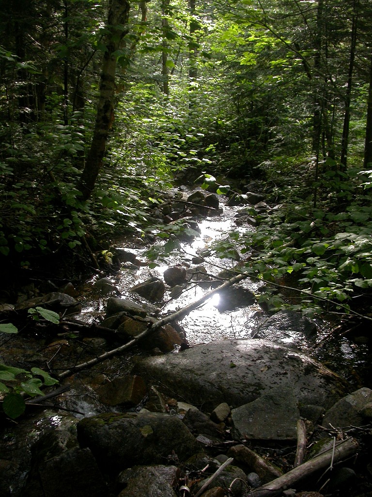
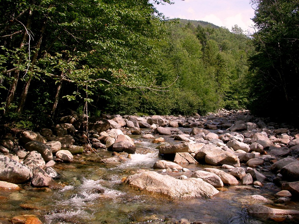
The first 1.4 miles of the North Twin Trail were a breeze and perfect for a nice morning stroll through the forest. The trail goes right along the Little River, first following an old, overgrown logging road and then crosses the river and follows an old, overgrown rail bed, which was also used for logging. The last stretch was back on the other side of the river and was much more trail-like but still pretty flat. I covered those first two miles in just about 45 minutes, the only tricky parts being the river crossings.
|
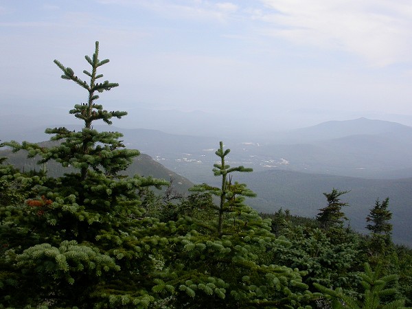
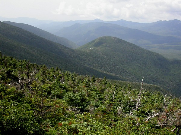
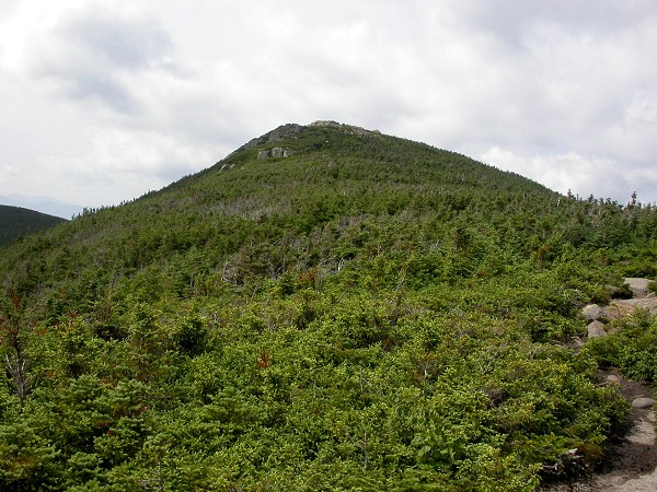
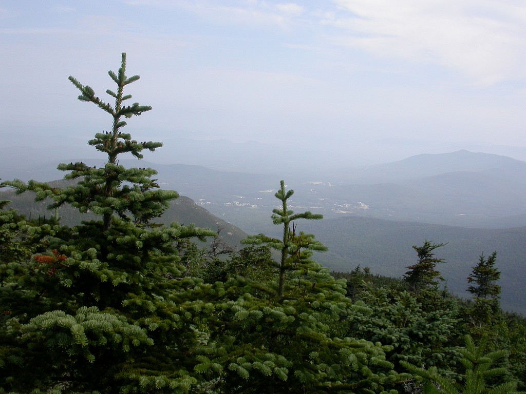
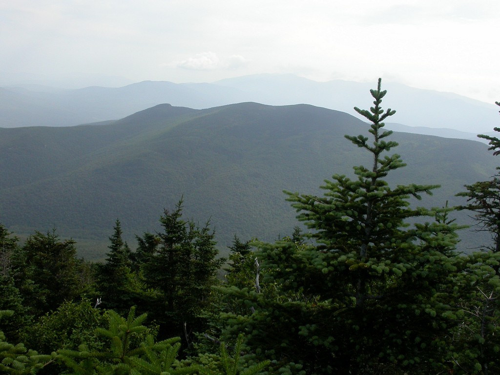
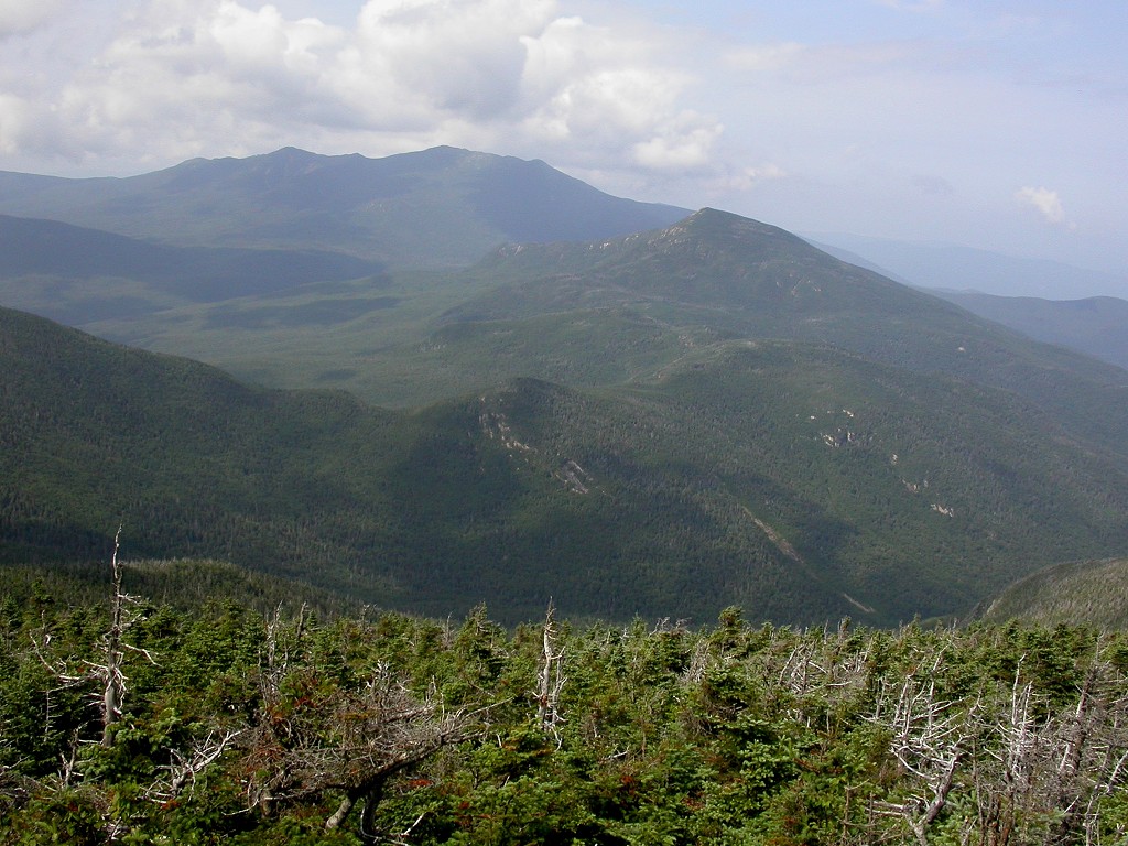
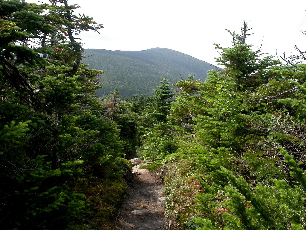
The trail only climbs about 500 feet in that first section along the river but then climbs over 2000 feet in the next two. This is much steeper even than any trail I have been on in the Grand Canyon and it does not waste any time in gaining elevation. I have not been working out much apart from lots of walking and I was feeling it. I felt much better once the trail finally broke above the tree-line and I got my first good views of the area. At first this is just a teaser view of the ridges on the way over to Mount Washington followed by a teaser view of South Twin Mountain to the south.
|
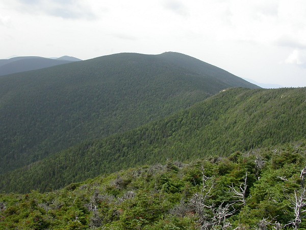
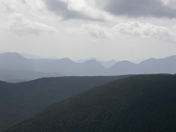
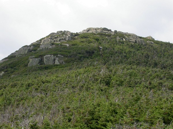
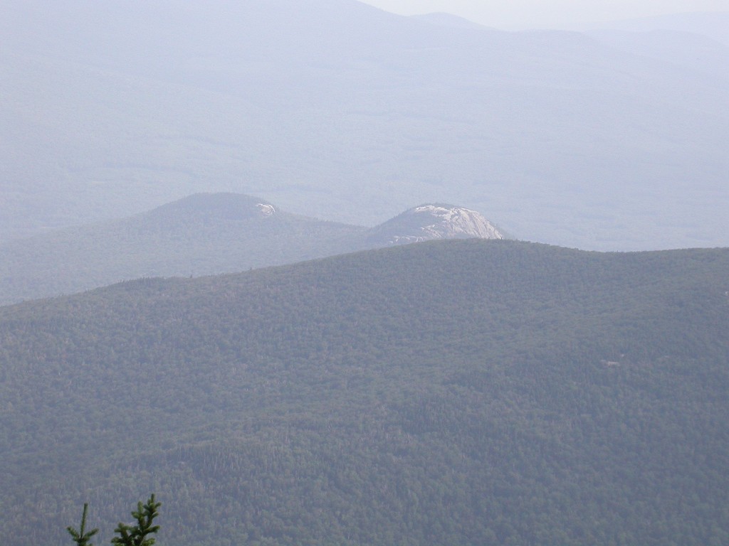
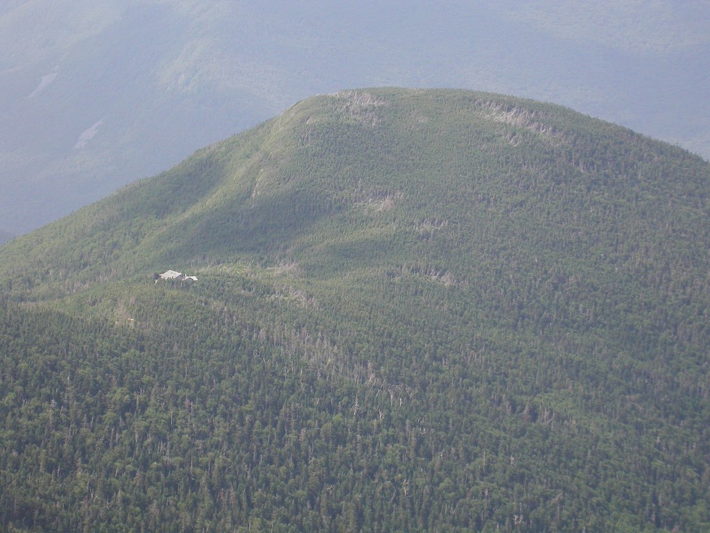
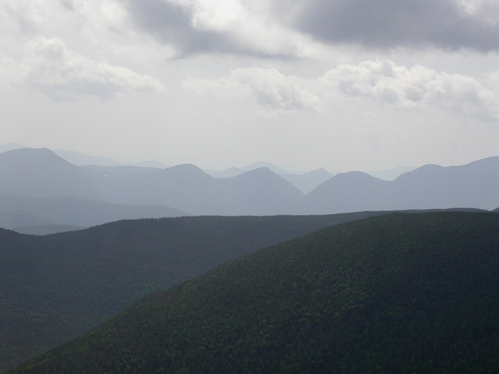
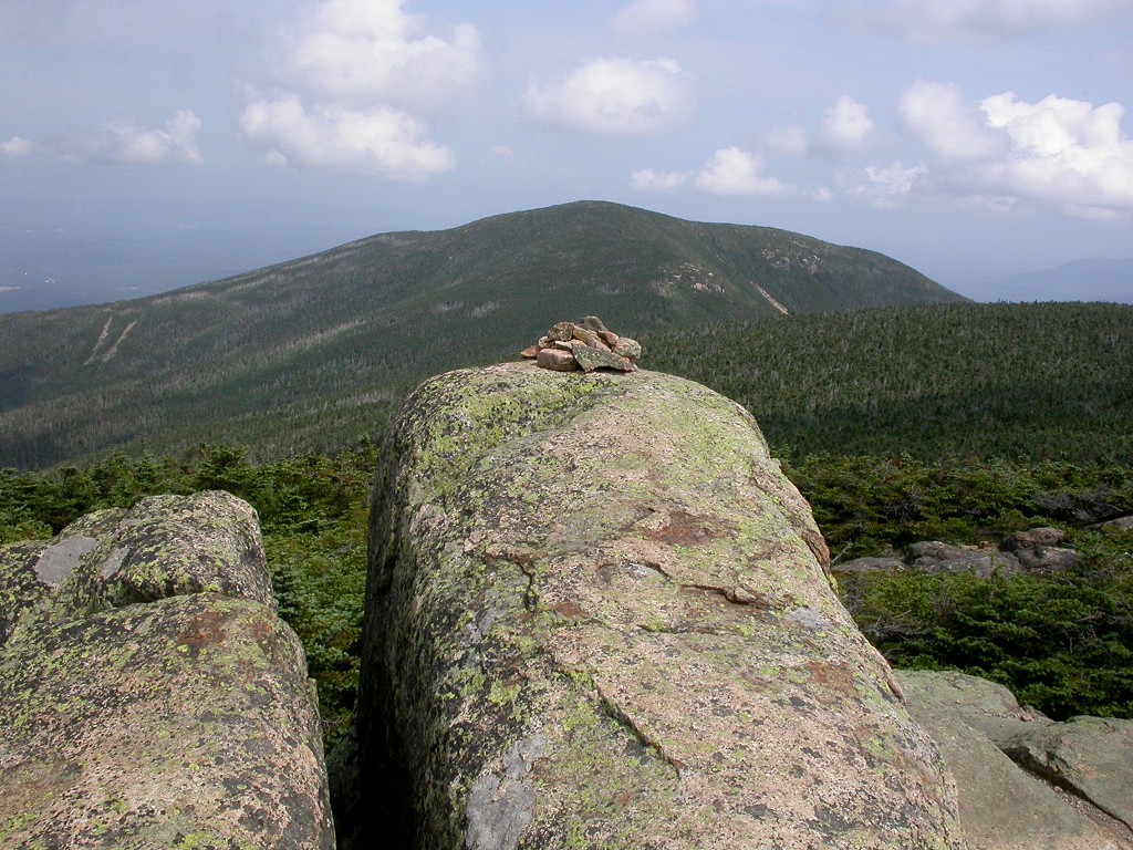
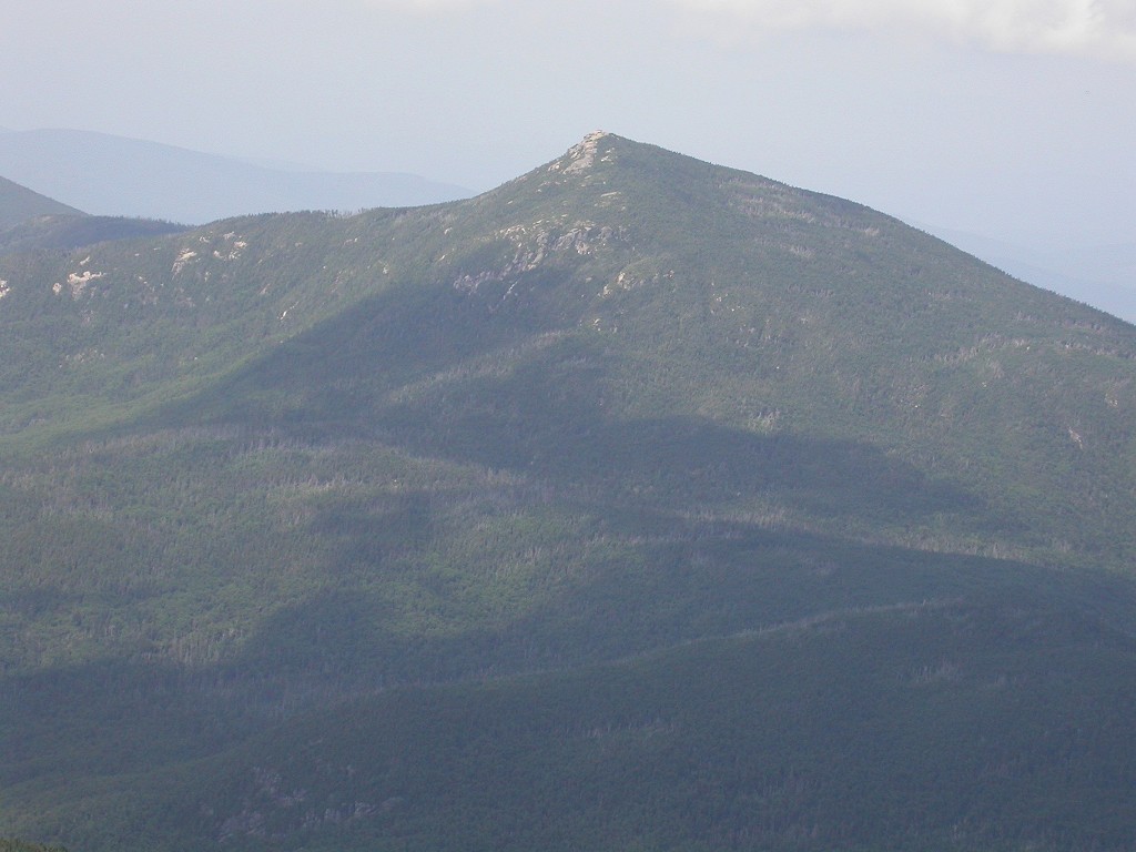
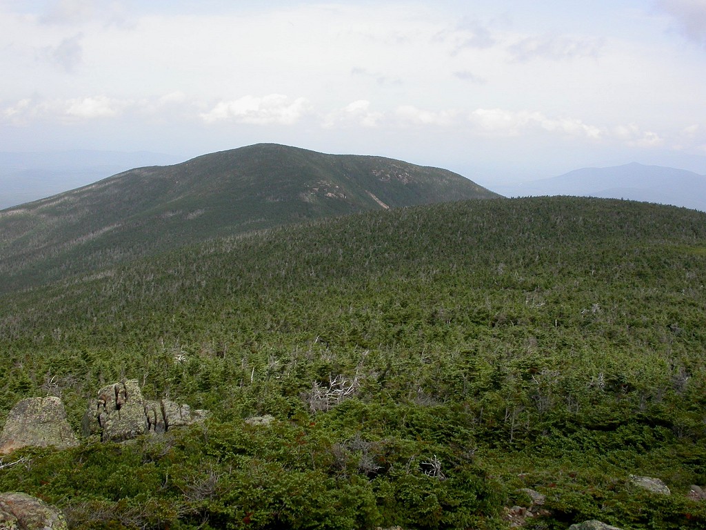
I made pretty good time and was on the summit of North Twin Mountain only two hours after leaving Little River. The summit of North Twin Mountain itself lay in the trees but there were nice ledges all around the summit that afforded these magnificent views of the surrounding area. The views were magnificent and I got to see everything I missed during last weeks hike in the clouds. It was quite interesting to be able to see it all in one view like that. I could see Mount Garfield and the ridge I hiked along from there to Galehead Mountain and it looked like a long hike. It was a long hike! When I saw what the climb looked like from Galehead Hut to South Twin Mountain I was very glad that I had decided to bail out when I did. Had I continued I would have seen nothing and I would have been crawling back to the car in the dark. Splitting this up over two days was a very good idea.
|
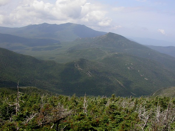
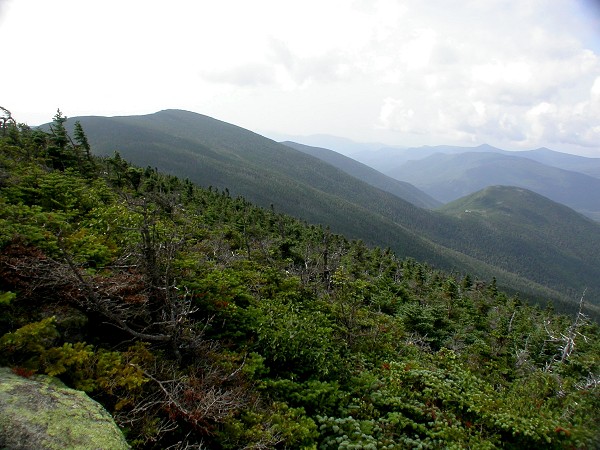
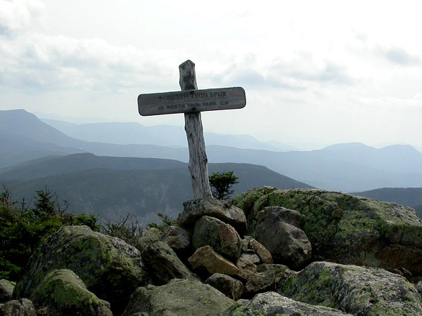
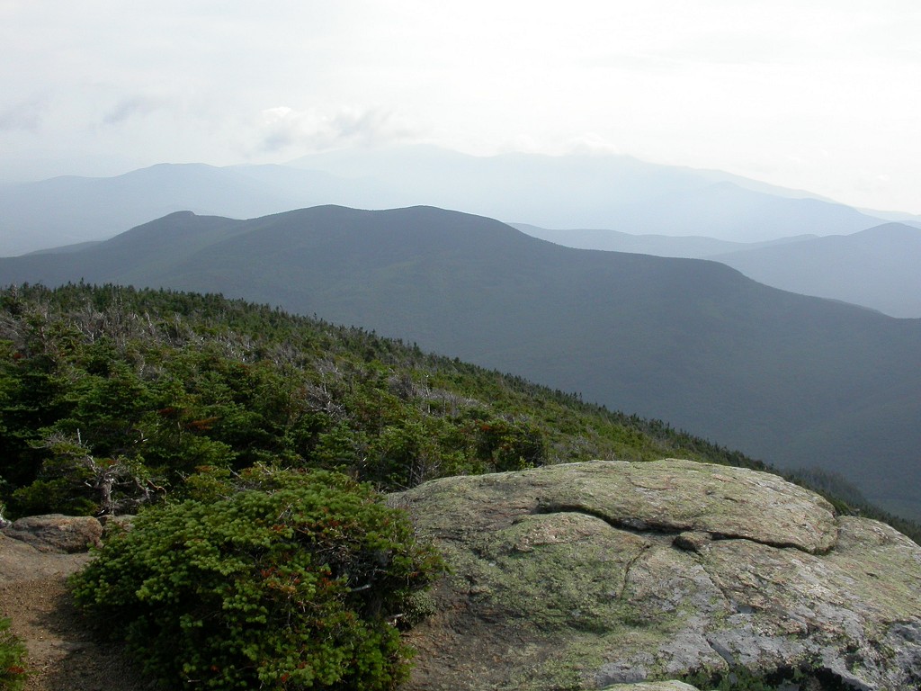
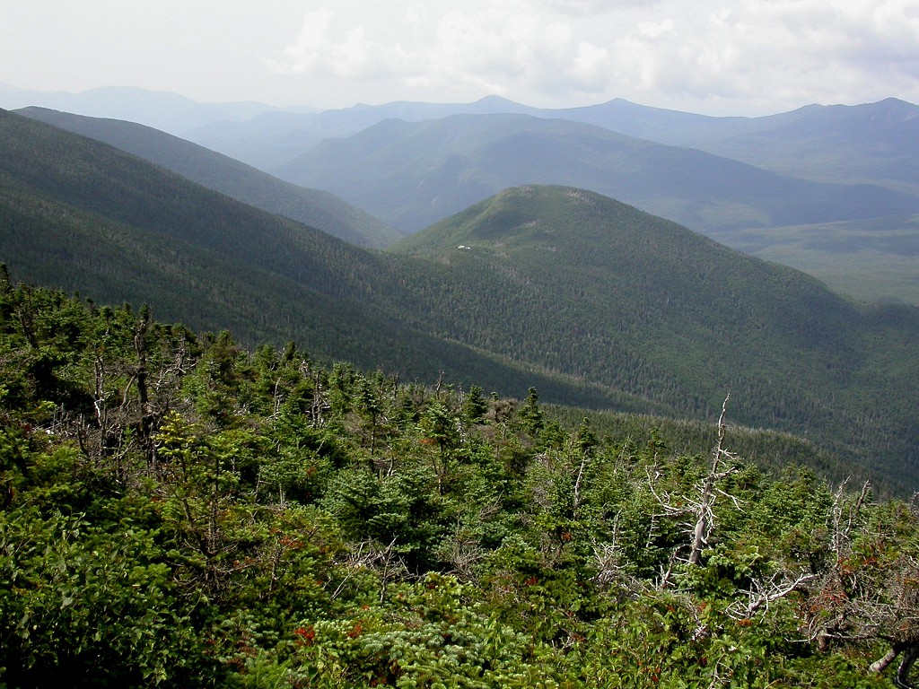
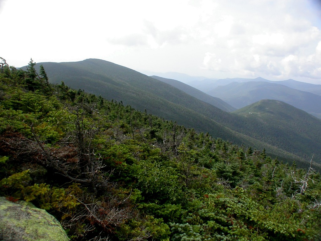
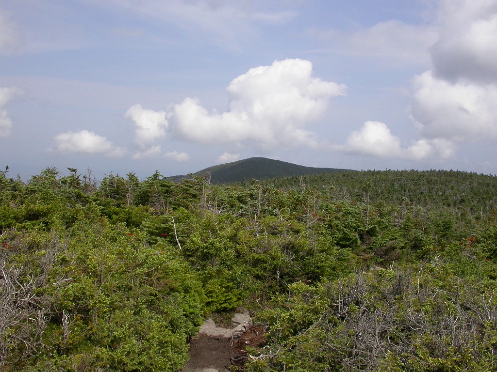
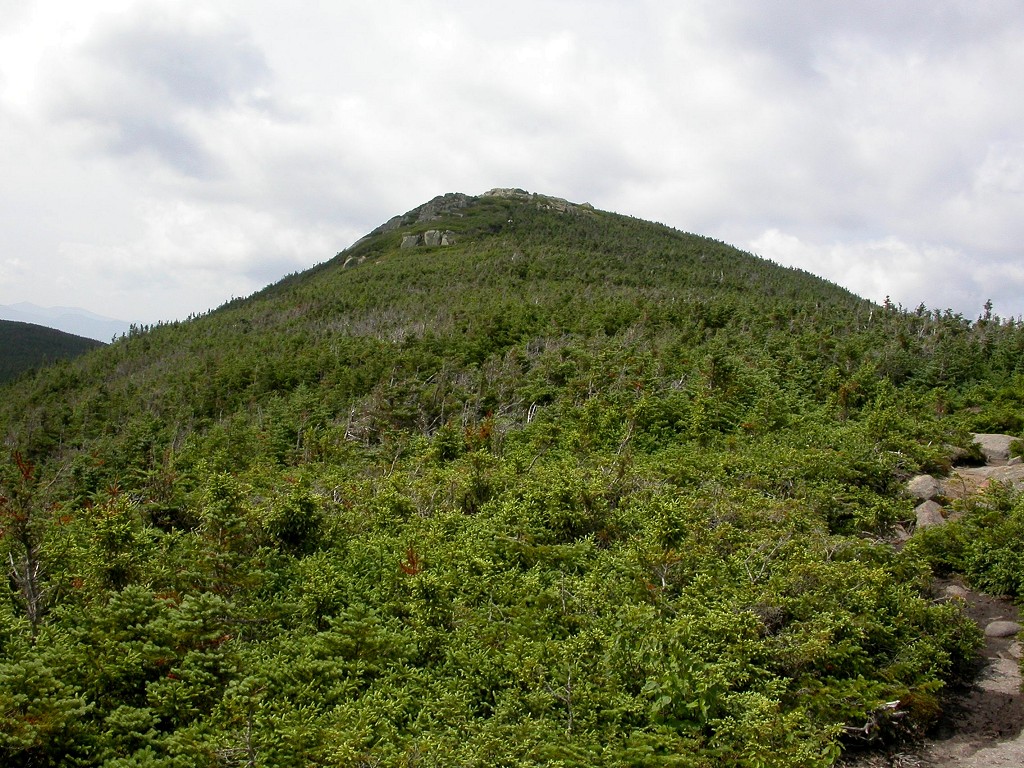
The hike from North Twin Mountain to South Twin Mountain along the North Twin Spur was pretty easy, a slight descent from North Twin Mountain and then a slight ascent of South Twin Mountain, about 300 feet down and then 400 feet back up over a little more than a mile. The summit of South Twin Mountain is entirely above the tree-line and the view from up there was even better.
|
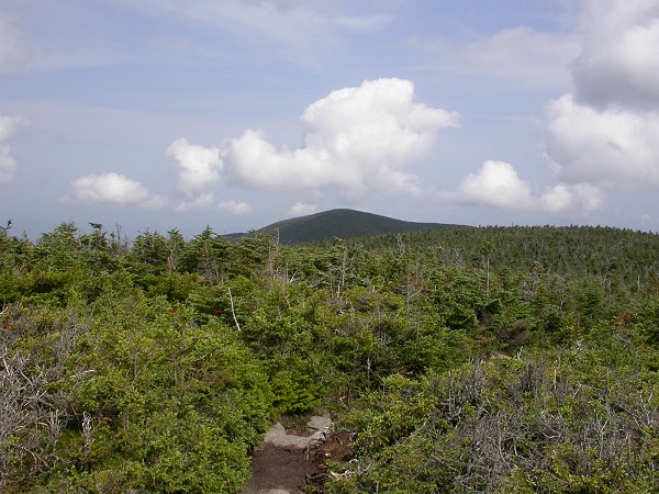
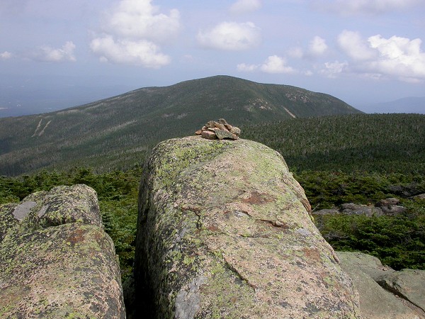
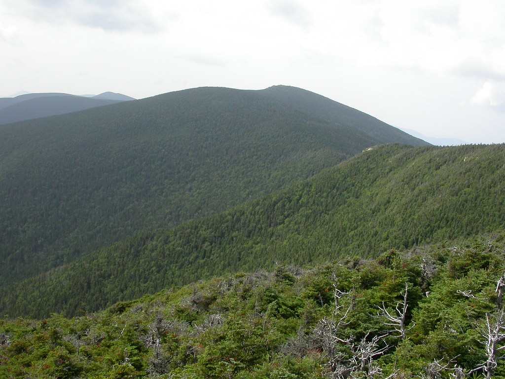
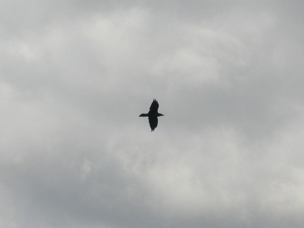
I went back over to North Twin Mountain and ate my lunch at a really nice overlook where I could take in all of Garfield Ridge and most of the northern end of the Pemigawasset Wilderness. I got to watch a raven playing on the rising thermals while I was eating and was quite surprised by this as there are not so many ravens up here---lots of crows but not a lot of ravens. It had to be a raven though because it was definitely soaring and that's one of the major differences between the two species---crows can't soar. I took it to be a good omen. I had the summit all to myself for about a half hour before another solo hiker showed up and I relinquished the peacefulness and solitude to him.
|
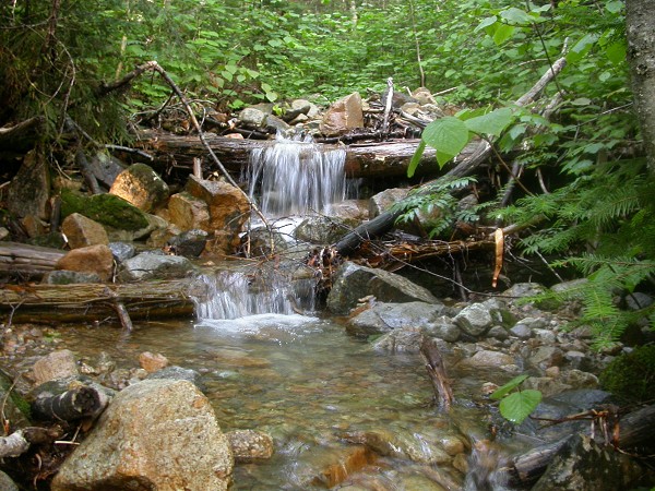
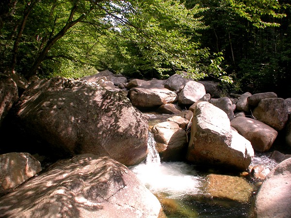
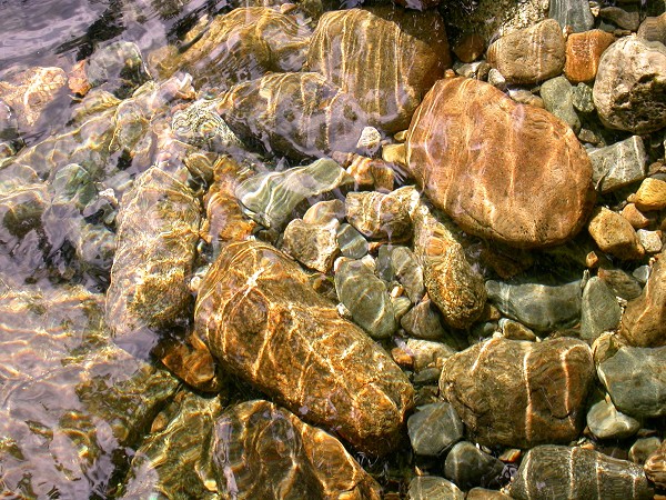
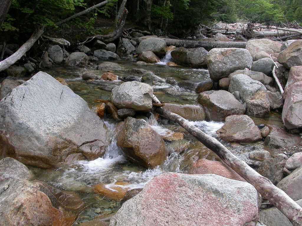
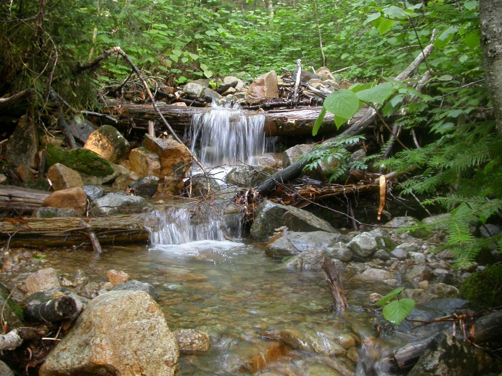
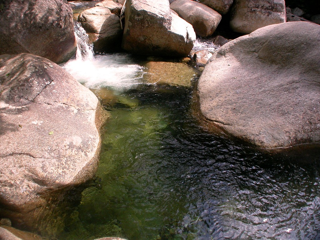
The hike down was pretty easy and I made good time. I was back a Little River just before 3 and stopped there for a while to rest and also to take some photos with the sunlight on the river. I flew along that last 1.4 miles of trail but stopped once more to take some photos of a really nice plunge pool along the river.
|
|
|
|---|
|
|---|


