|
A Day Hike on Mount Garfield and Galehead Mountain in New Hampshire's White Mountains |
|---|
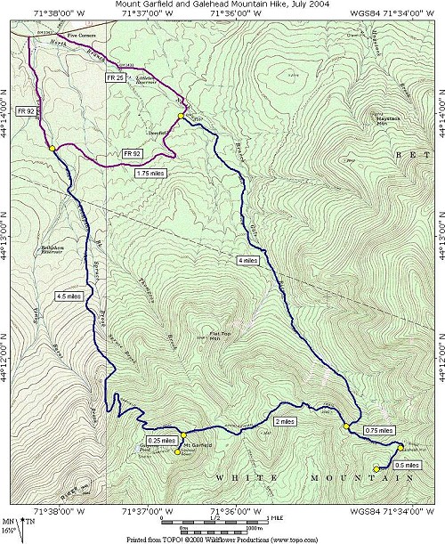
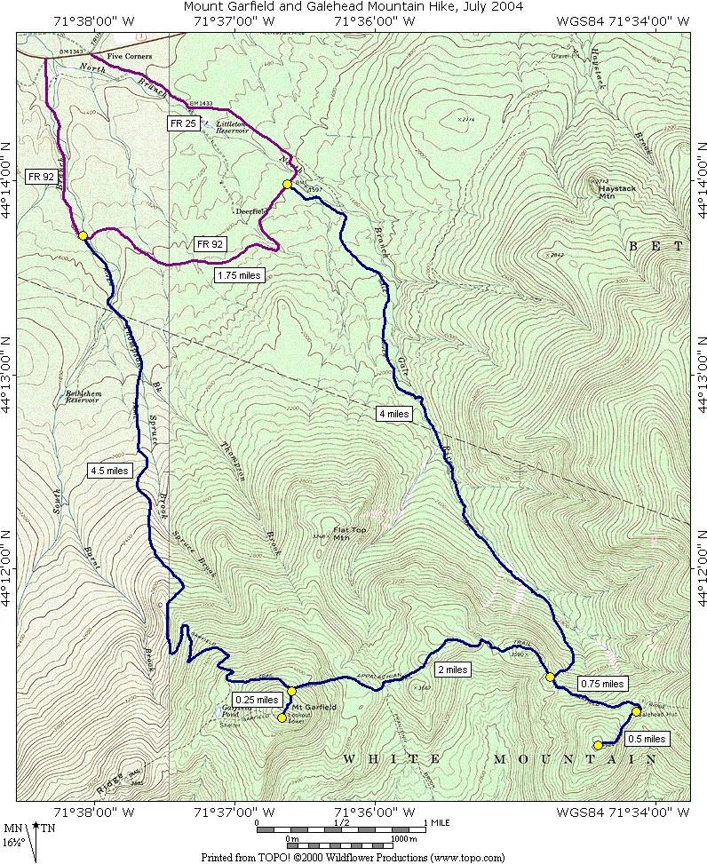
This day hike involved going up the Garfield Trail to the Garfield Ridge Trail to the summit of Mount Garfield, from there along Garfield Ridge to Galehead Hut up the Frost Trail to the summit of Galehead Mountain, and returning by way of the Gale River Trail:
|
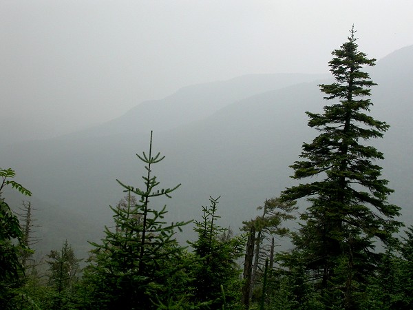
This hike was a wash-out, quite literally. I had cloudy conditions all the way up on the drive and when I reached Franconia Notch it was completely socked in with even more clouds as well as dense fog, interesting to drive through, but not boding well as far as hiking conditions. I had a glimmer of hope when I reached the other side of the notch and it was all of a sudden a lot brighter and the sun even poked out a few times. I got lost once trying to find the trailhead; it seems that forest service roads are equally as poorly labeled back east as out west.
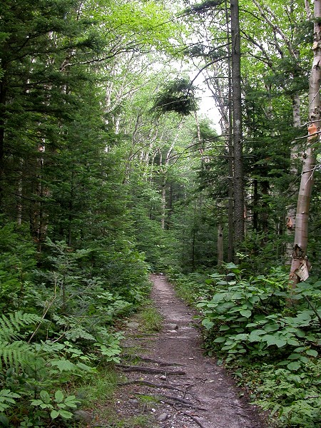
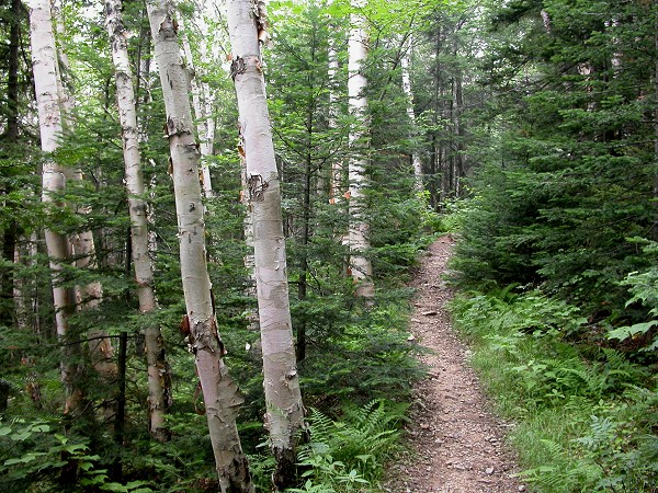
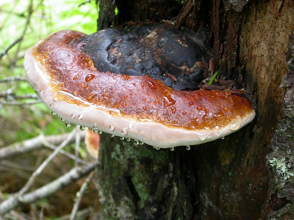
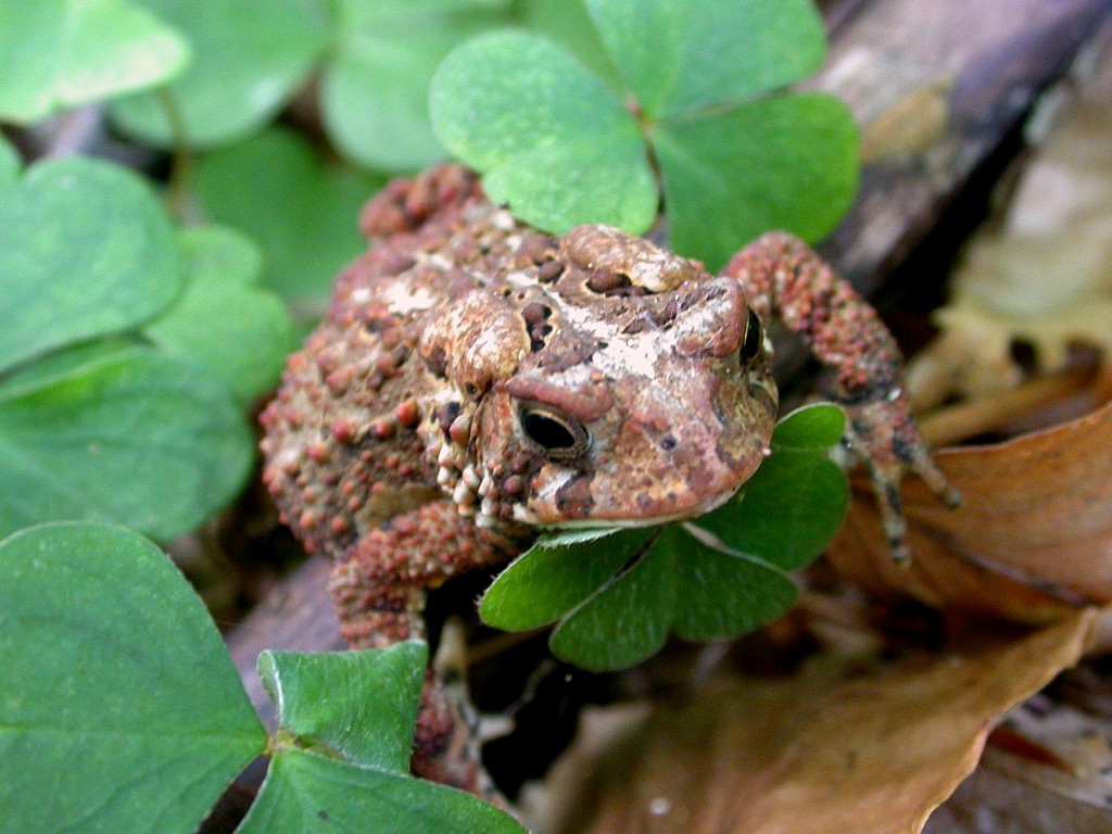
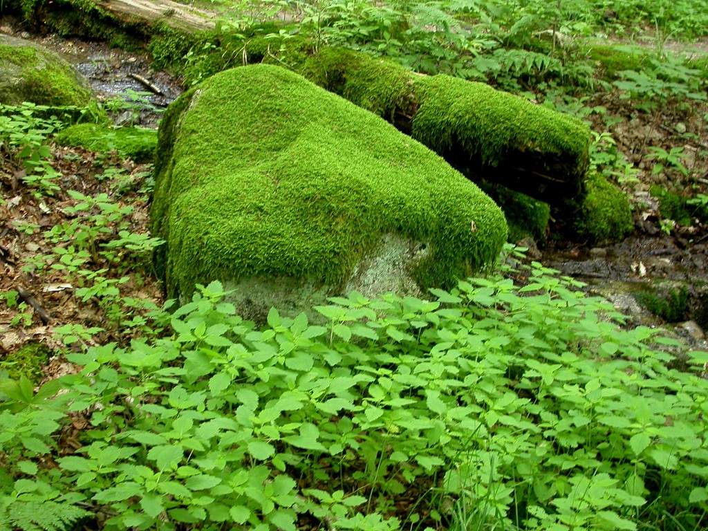
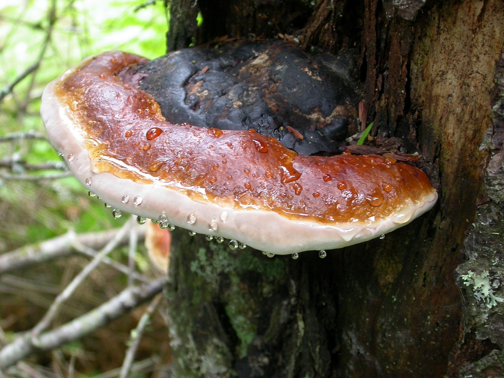
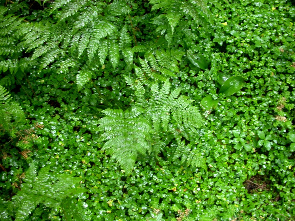
The starting point for this hike was the trailhead parking lot on Forest Servive Road #92 about a mile in from route 3, just east of Five Corners. I ended up starting the hike right around 7 about a ½ hour later than I wanted but still not too bad. The lower portion of the Garfield Trail is very easy and there is very little elevation gain in the first mile or so. Beyond that the trail begins to get more steep the further you go. At about 2 miles in the trail finally begins some long switchbacks that continue until you reach the junction with the Garfield Ridge Trail. I stopped many times on the way up for photo opportunities. There seemed to be an abundance of toads on the trail which was somewhat distracting at points.
|
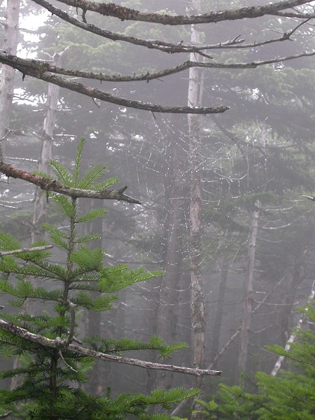
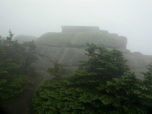
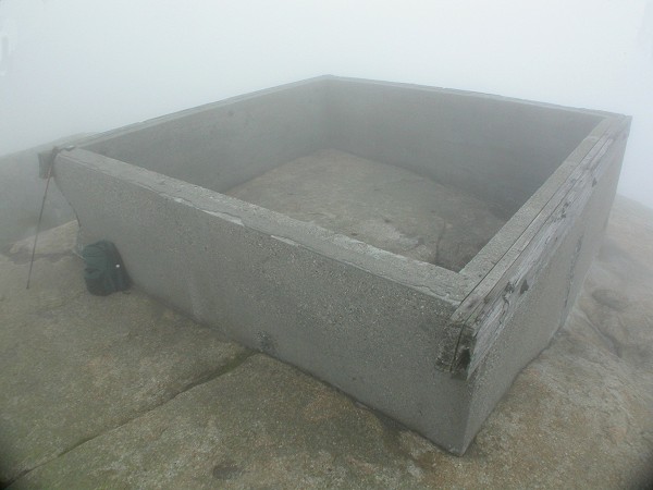
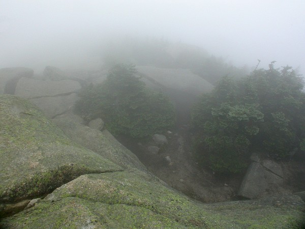
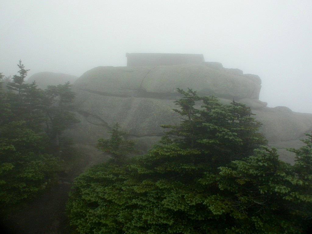
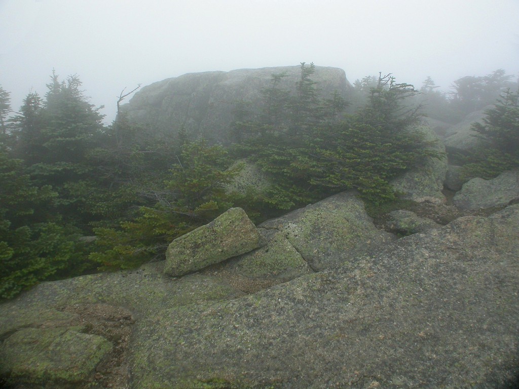
The sun continued to pop in and out among the clouds while I climbed to the top of Mount Garfield and at that point I thought the storm was over and that it was going to eventually clear. When I got to the top of Mount Garfield, just after 10am, there was nothing to see, it was completely socked in, and finding the actual summit was difficult enough. I am assuming I was on the summit only because my GPS told me I was and I was at the foundation of the old fire tower which had been on the summit. If there was anything around that was higher I didn't see it.
|
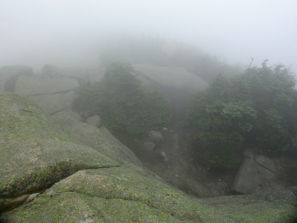
And then the fun began. When I left Mount Garfield and headed along the ridge towards Galehead Mountain I dipped below the cloud deck and all of a sudden it was raining. It wasn't a heavy rain but was more than a drizzle. It still didn't seem bad enough to have to bother with rain gear so I didn't. I really did not research these trails as much as I should have and I was very surprised at how much I descended going from the top of the mountain along that first portion of Garfield Ridge. It just kept going down, down, down and before it leveled out again I had descend almost 1,000 feet in about 0.5 miles---from 4,455' at the summit to just above 3,400' near the junction with the Franconia Brook Trail. Of course the fact that I could not see further than several dozen feet in front of me probably didn't help matters, the trail always seems longer when you can't see your destination.
|
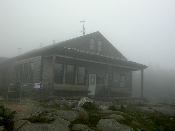
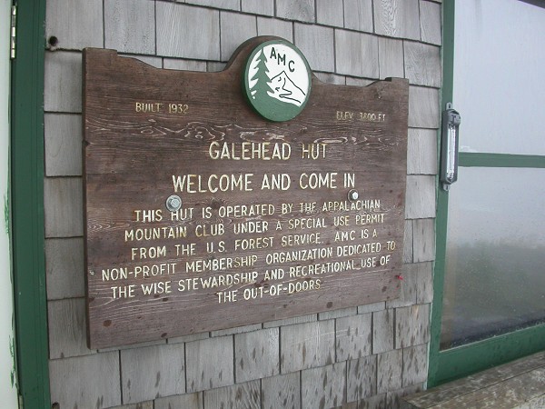
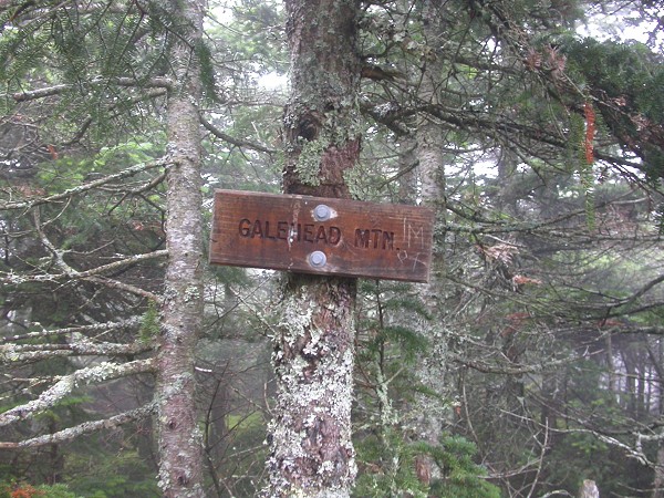
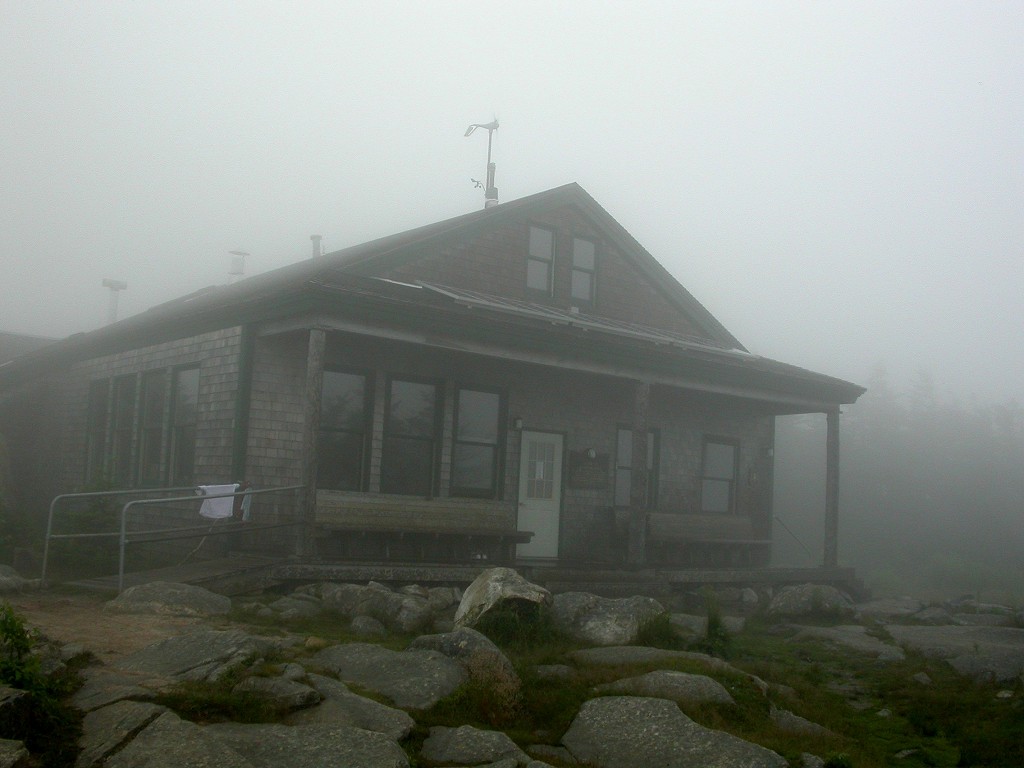
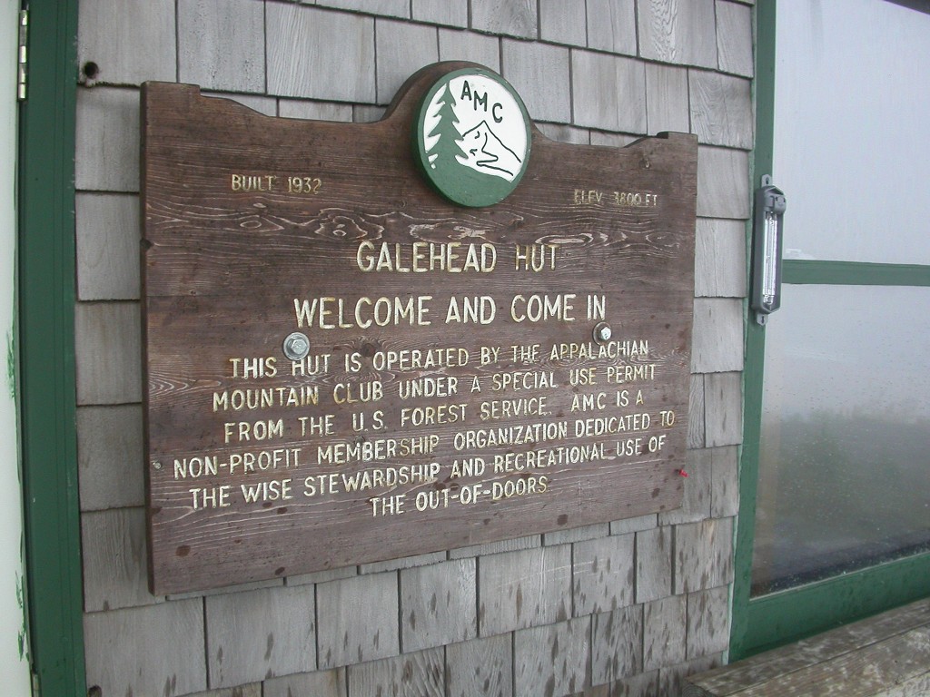
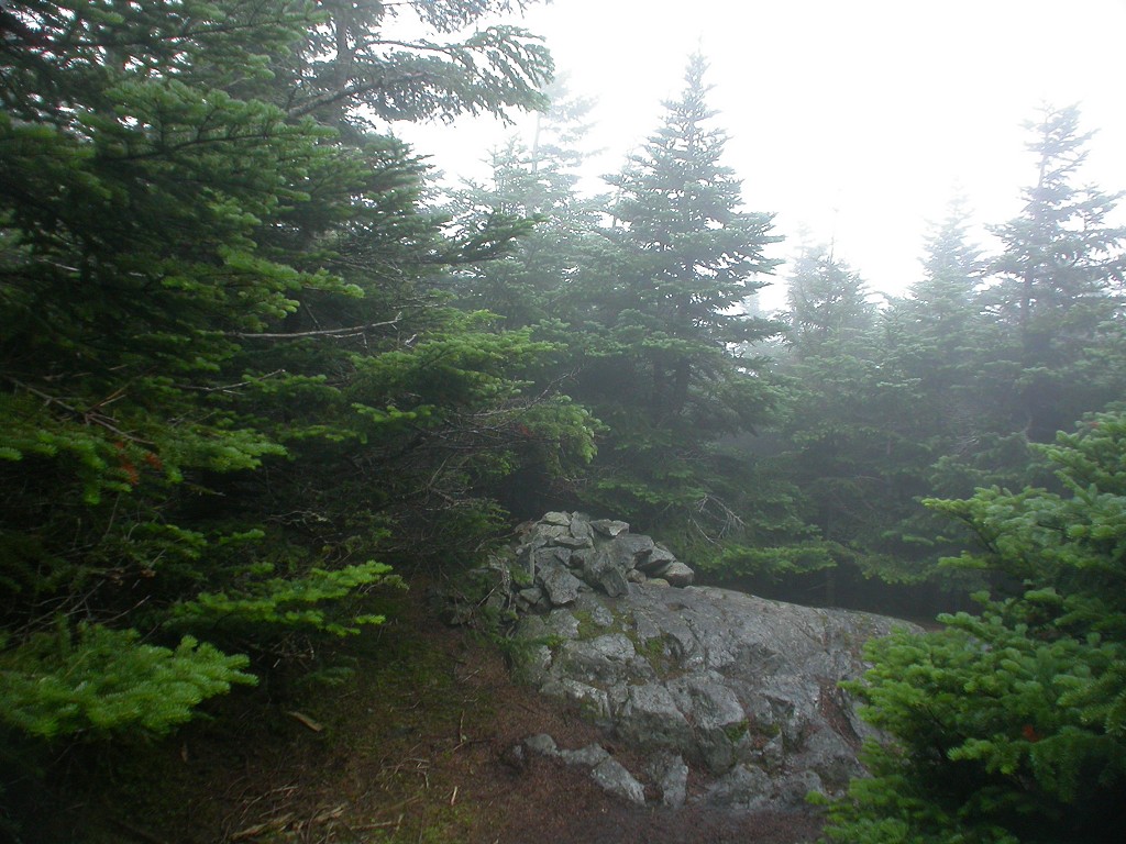
The rain came and went and had stopped temporarily as I arrived at the AMC's Galehead Hut, around 1pm, where I stopped to eat my lunch. The rain had started again as I left there and was now somewhat heavier so I finally put my rain jacket on. It stopped again by the time I reached the summit of Galehead Mountain but I just kept rain jacket on from that point as it was quite cool and the added layer of clothing was welcome. The summit of Galehead Mountain was a bust! It was just a pile of rocks in the forest and I was very amused! Again, I should have researched this ahead of time so it would not have been such a shock. It's not above the tree-line and even if there had been something to see there would have been nothing to see. Ah, well, it's still a summit.
|
As I headed down Galehead Mountain, past Galehead Hut, and over to the trail to South Twin Mountain the rain got a lot more intense and I made the decision to skip the other two peaks. I was not going to see anything anyway and I would rather save those two for a time that I would. The way this hike was planned made it easy to bail out at this point anyway; since I would have to come back the same way to get to the trail I had decided to take down, the Gale River Trail. I headed towards that trail and it seemed to take forever to get there even though it was a little more than ½ mile away. Hiking in the pouring rain puts a different perspective on things.
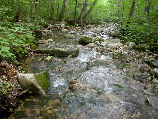
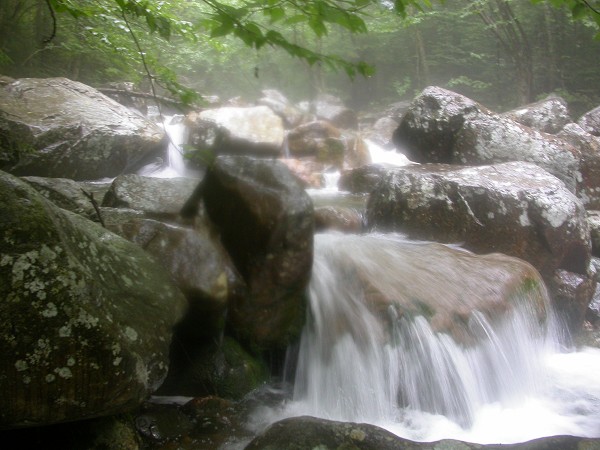
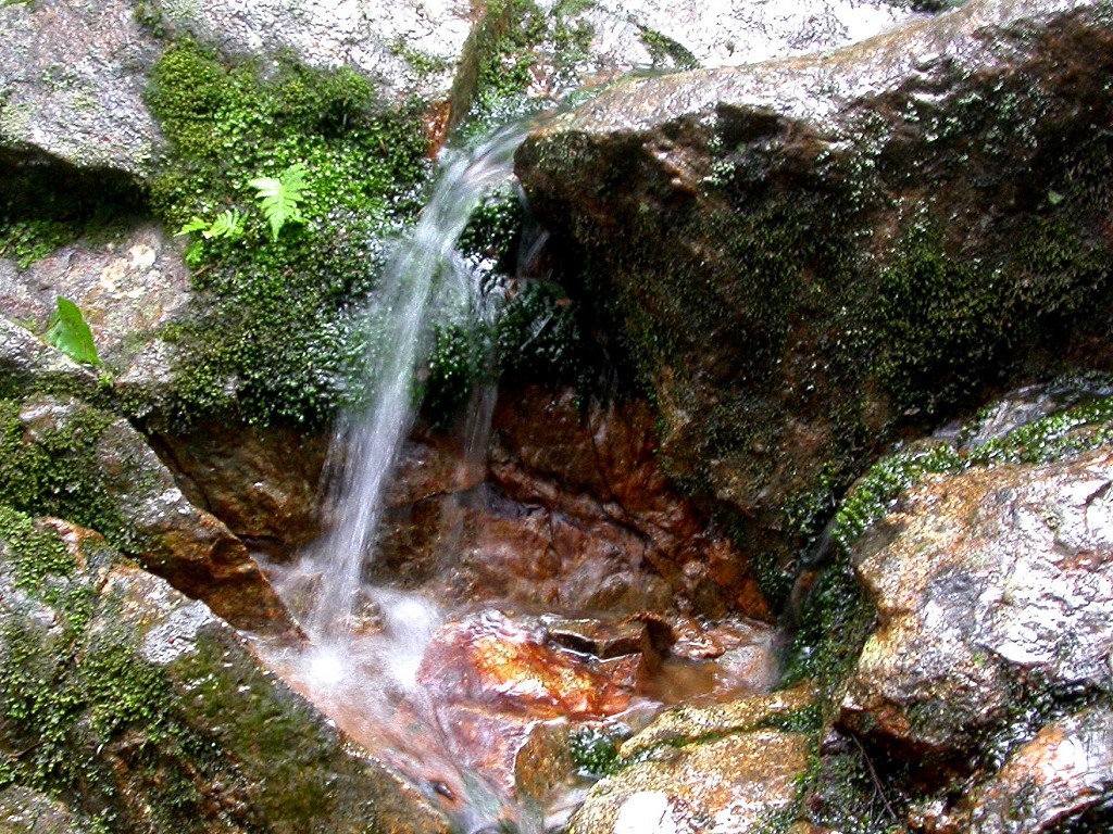
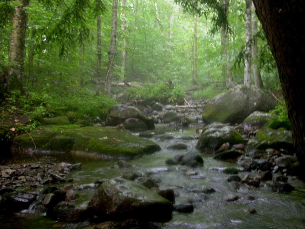
I got soaked to the skin from the waist down, during the hike down the mountain. The rain jacket kept my head and upper body dry but because the wind was also blowing at quite the fervent pitch my jeans ended up getting soaked rather quickly. I really was not as bummed out by this you might think and once I was already soaked the hike down became rather enjoyable. It wasn't cold like it had been up on the summits so that was not a problem. The boots were soaked already too so I just walked right through puddles (and streams) that I might have otherwise have tried to avoid. Water was coming down the side of the mountain from everywhere and Gale River turned into a raging torrent. It was a very interesting hike listening not only to the pouring rain on the tree canopy but also the river and the streams and waterfalls feeding into it. There's nothing like a good walk in the rain.
|
The rain had stopped by the time I got back to the forest service road but from there I still had almost two miles to walk back to the other trailhead, where the car was parked. The first part of this hike was uphill and that was somewhat of an annoying discovery considering the starting point for the Garfield Trail is at a lower elevation. At least it wasn't raining.
|
|
|---|
|
|---|


