|
A Day Hike on Mount Carrigain in New Hampshire's White Mountains |
|---|
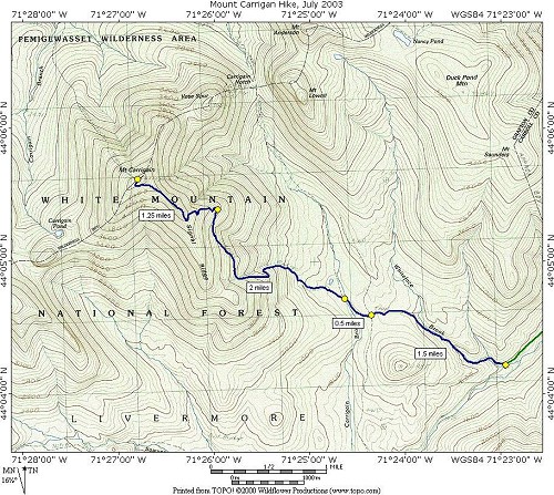
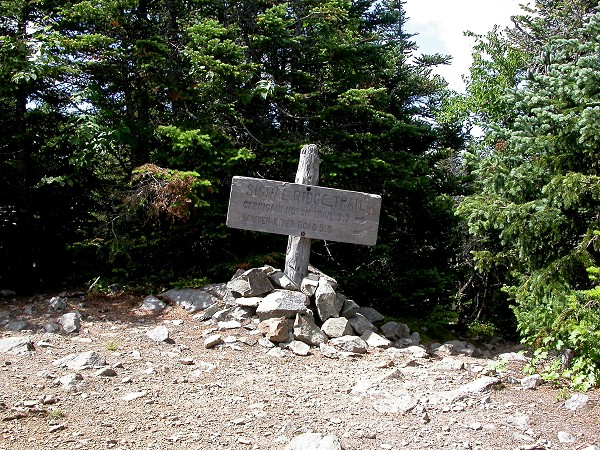
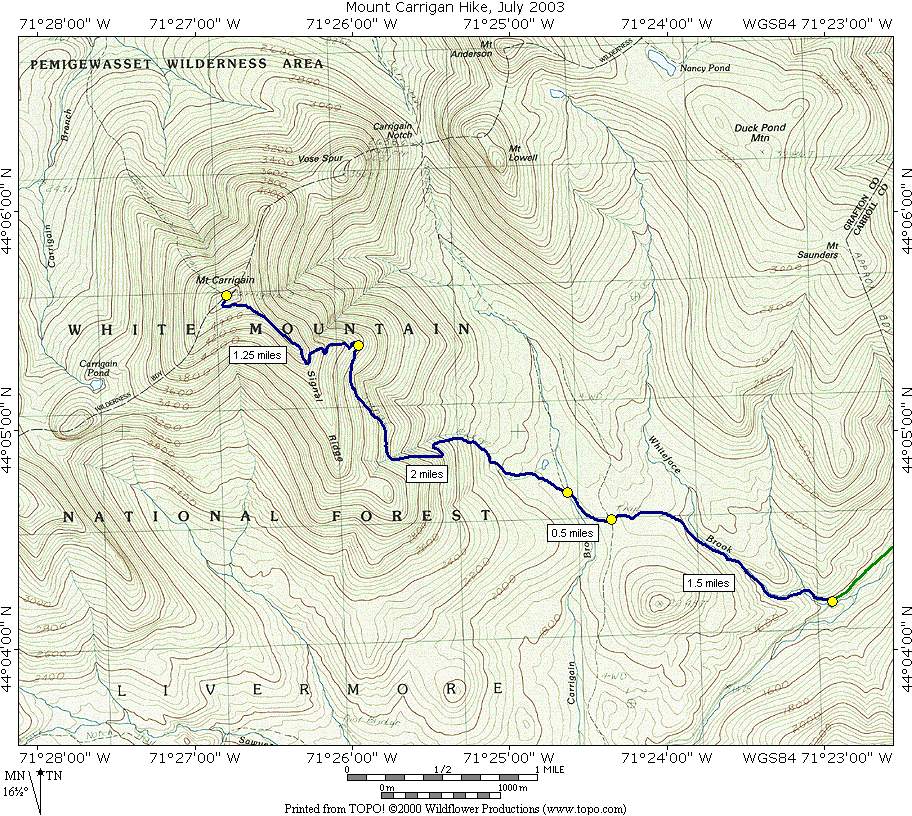
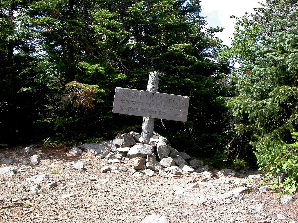
This day hike involved going along the Signal Ridge Trail to Signal Ridge to the summit of Mount Carrigain:
|
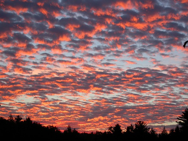
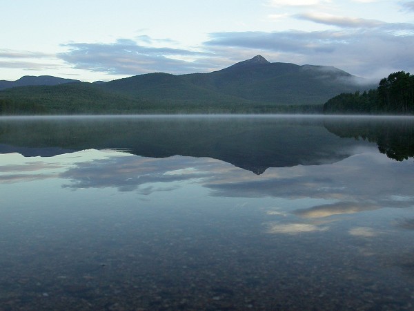
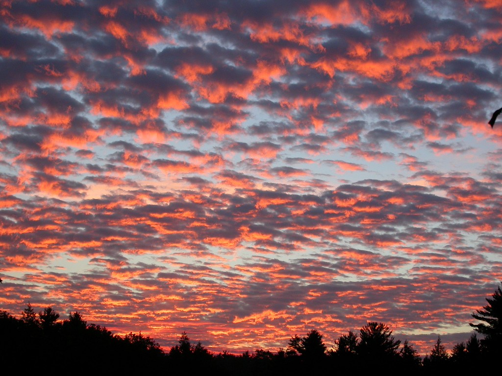
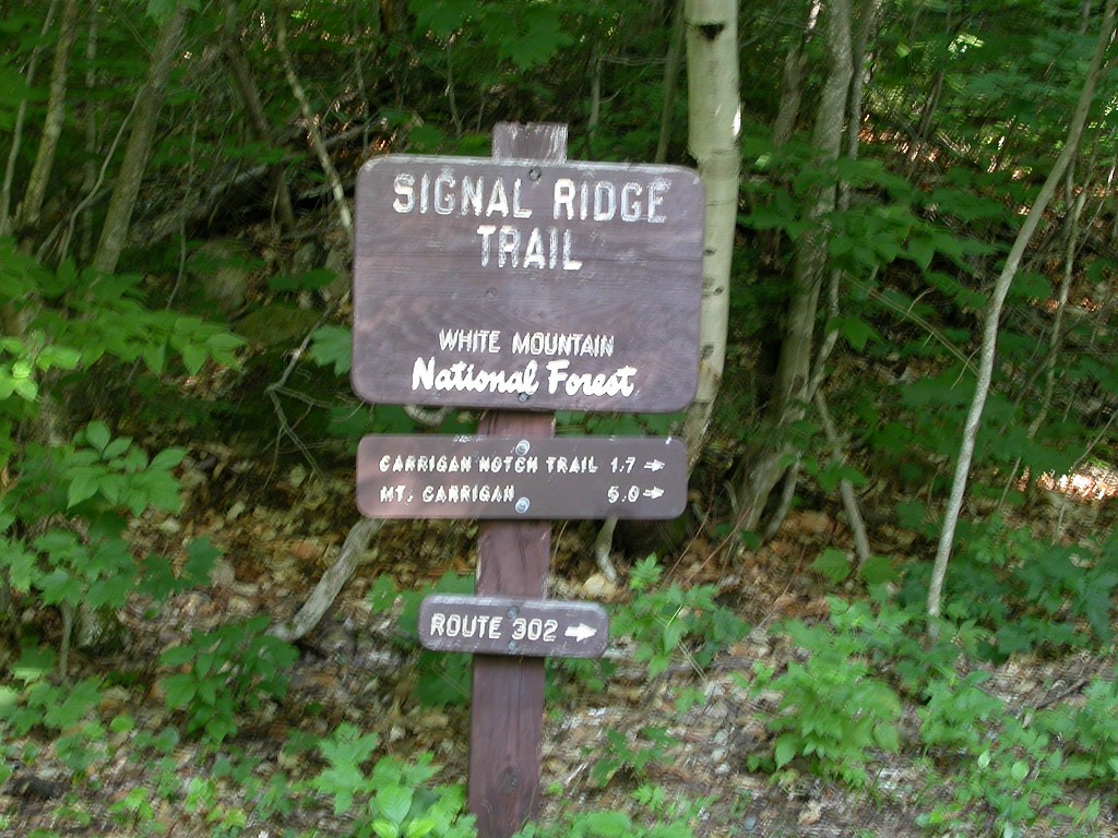
The starting point for this hike was the parking lot off of Sawyer River Road, about 2 miles in from US 302. Sawyer River Road heads west from US 302 and is located at the southern end of Crawford Notch. When I did this hike I came up from Meredith, New Hampshire, on the northwestern shore of Lake Winnepesaukee and was treated to a magnificent sunrise along the way. I was also treated to a very nice view of Mount Chocorua being reflected in an incredibly calm and still Chocorua Lake. Mornings like that are always a good omen for hiking. I arrived at the trailhead around 7 and started my hike at 7:20.
|
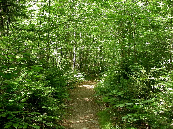
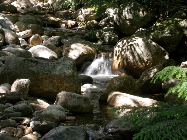
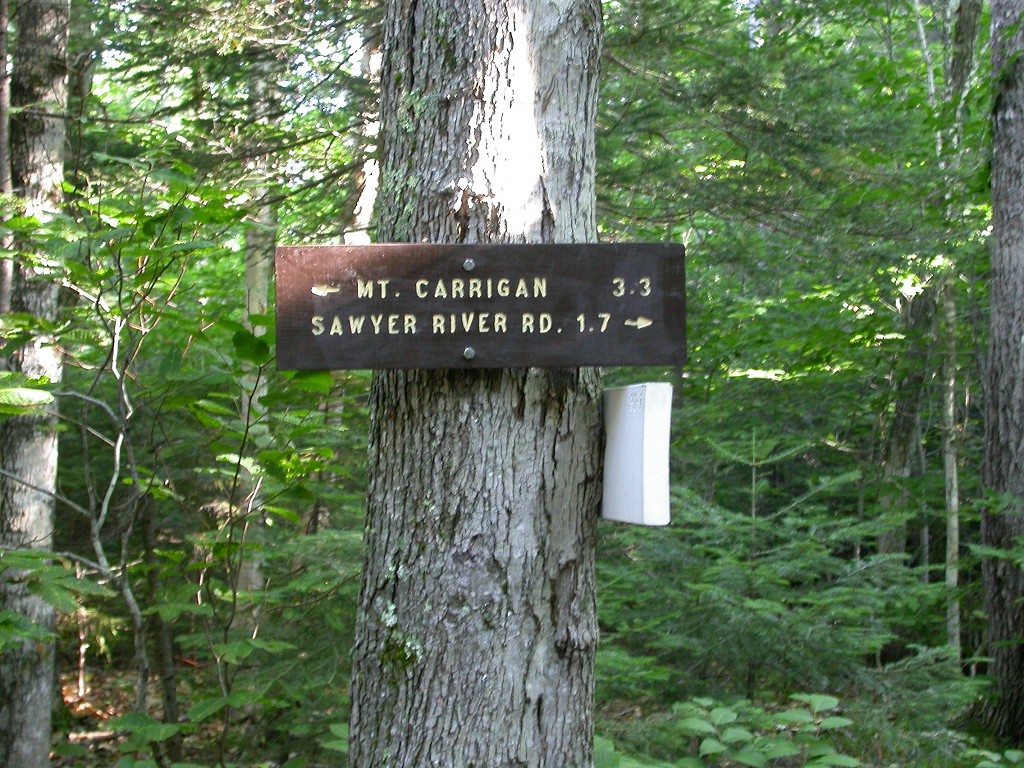
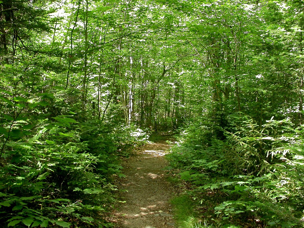
The Singal Ridge Trail does not appear to have a lot of usage and I met only one other person on the trail when I did this hike. Still the trail was quite obvious and easy to follow. The first 2 miles or so of the trail are a breeze as it is well graded and pretty flat with very little elevation gain. It follows along the south bank of Whiteface Brook for the first mile or so before heading off deeper into the forest. At about 1.5 miles the trail crosses the Carrigain Brook Road which comes in from the south and continues north. About 0.5 miile beyond that it reaches the Carrigain Notch Trail which goes north (right) towards Carrigain Notch.
|
Beyond those first two miles the trail began its climb up to Signal Ridge and it did not waste any time in doing this. It was quite a shock the way in which the trail went from basically flat to something very steep and rocky in a matter of minutes. It started to suck the life right out of me and I had to slow down. I couldn’t take any time to stop because there were lots of mosquitoes and the few times I did stop to catch my breath or to take a photo they were swarming all over me in an instant. As long as I kept moving they were not bothersome at all... so I tried to keep moving. The mosquitoes finally disappeared when the trail went above the 2500' mark. I don't know why, maybe too far from water or maybe too cold, but I was glad when they did as I was finally able to stop and rest and enjoy the scenery.
|
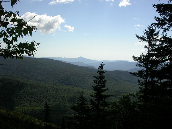
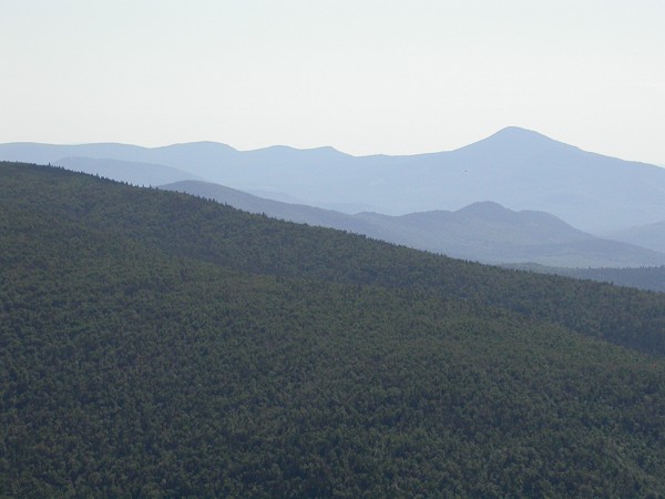
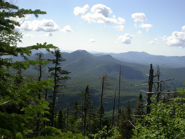
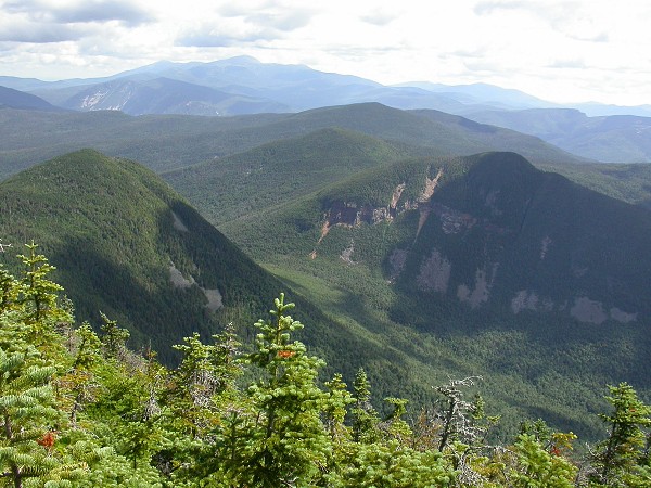
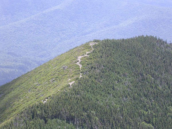
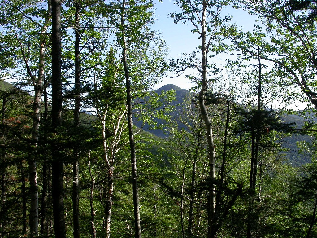
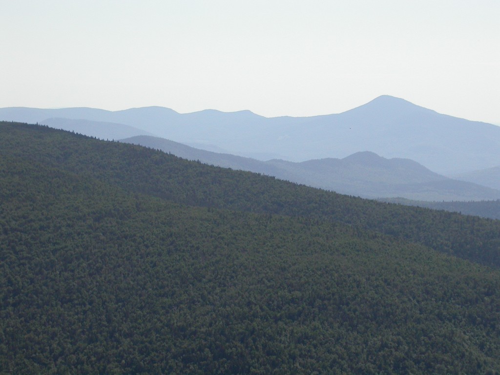
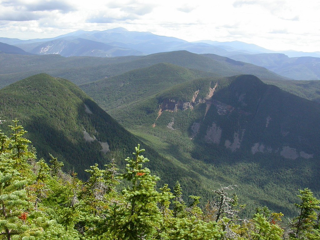
From the junction with the Carrigain Notch Trail trail climbs steadily for about a mile until it reached the southern end of Signal Ridge. Beyond that it continued to climb but did so at a much more reasonable rate, climbing gradually along the eastern face of the ridge. There were some really nice views along this section of trail but because of all of the trees there were only a few places that were good enough for photos.
|
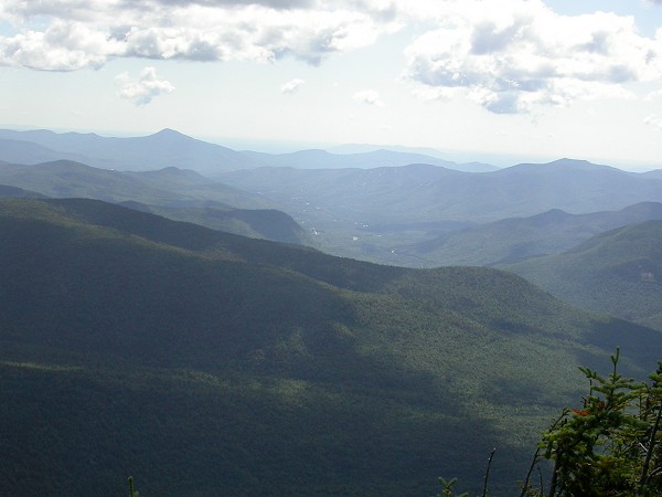
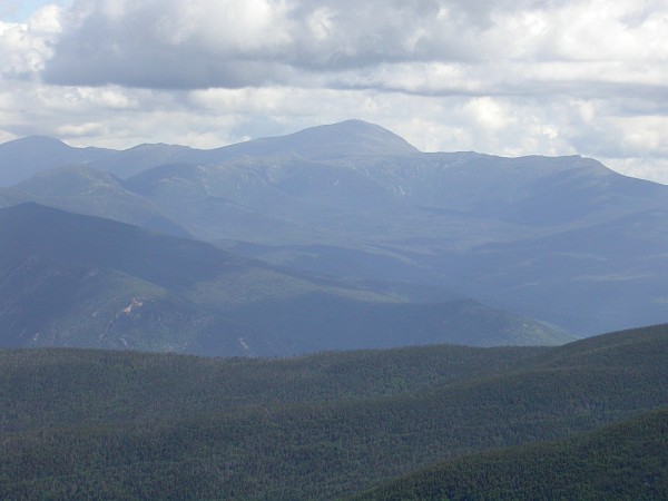
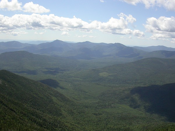
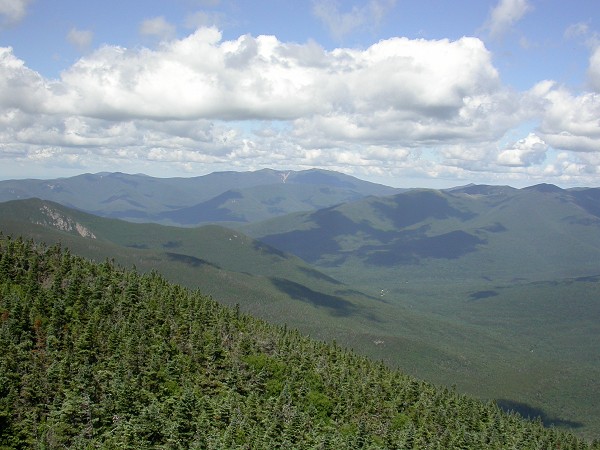
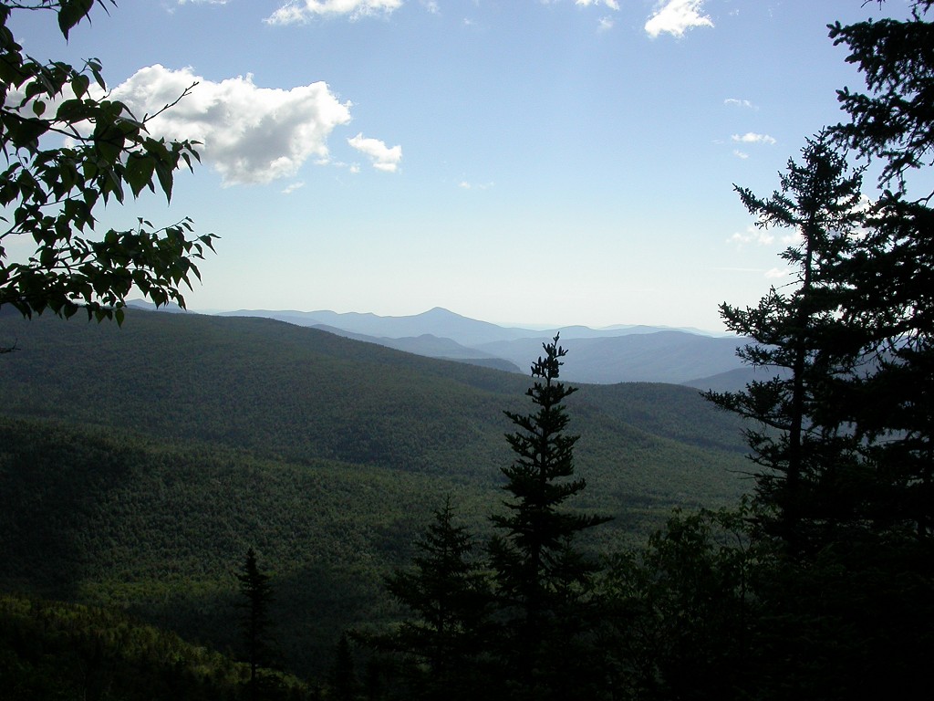
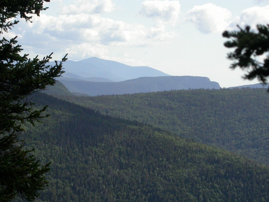
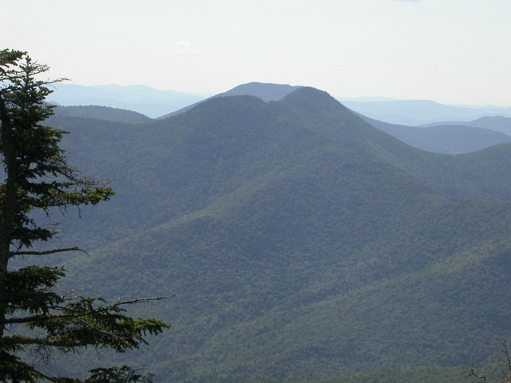
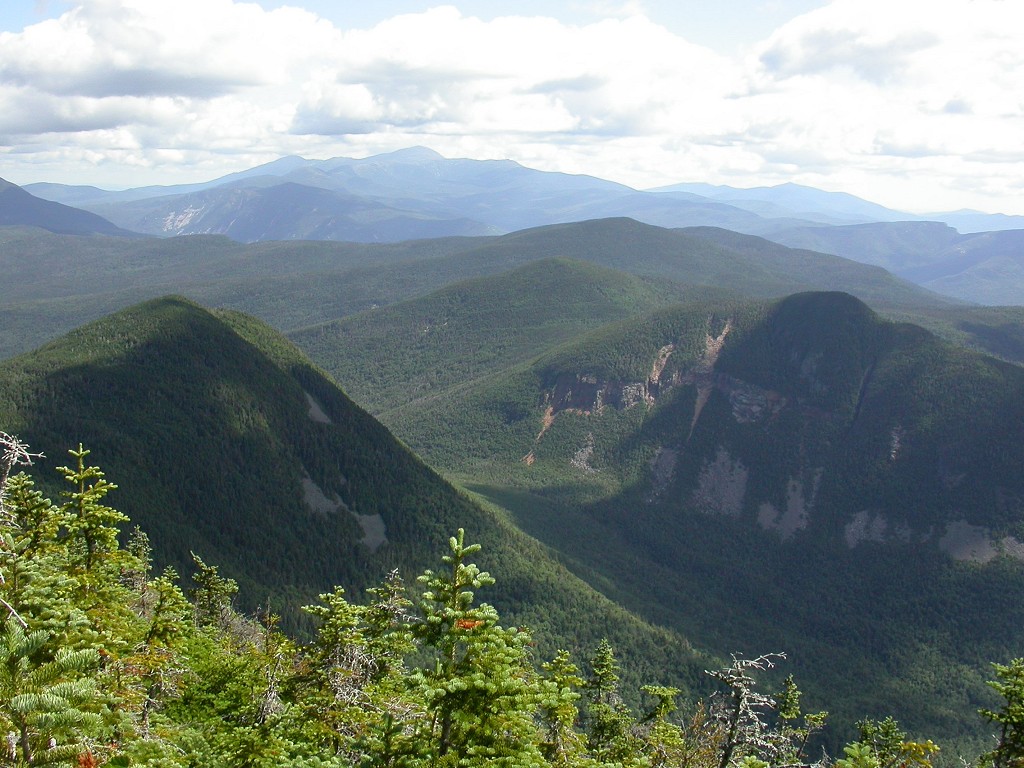
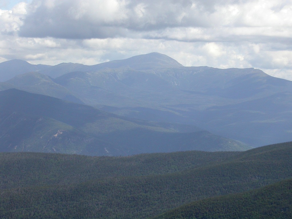
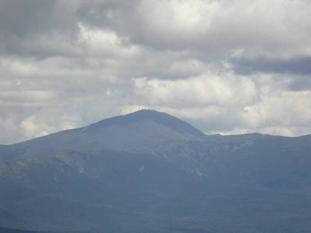
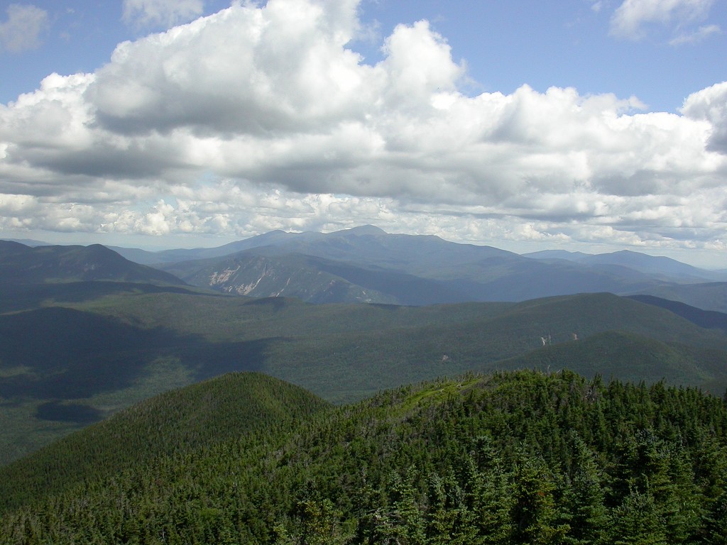
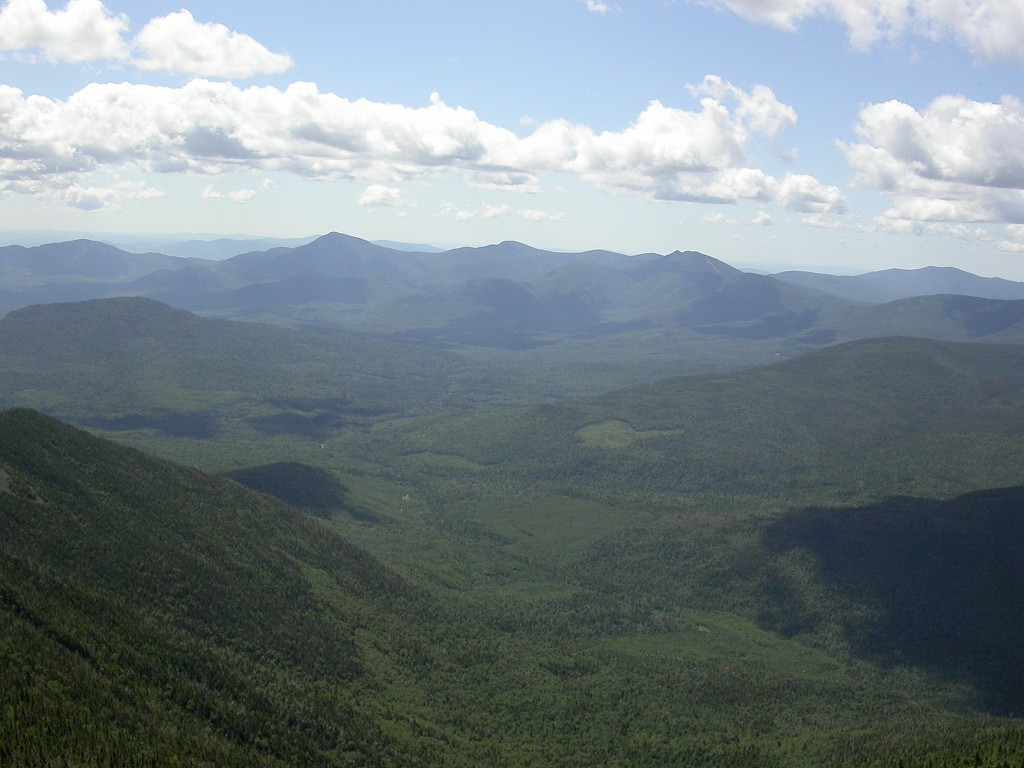
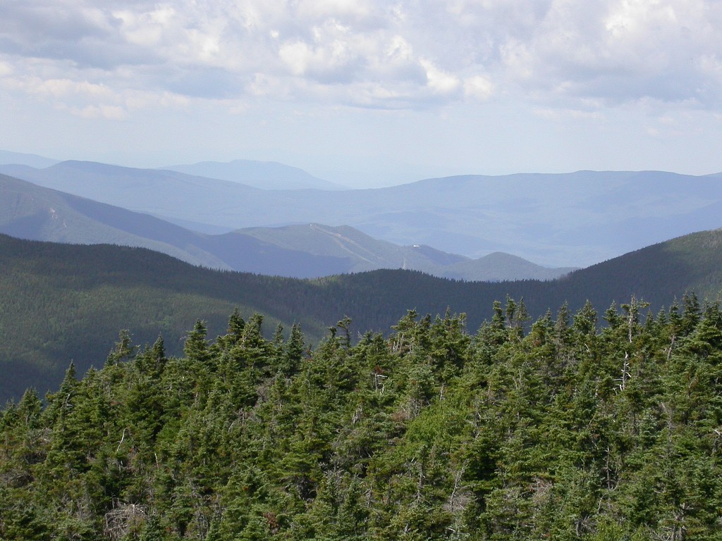
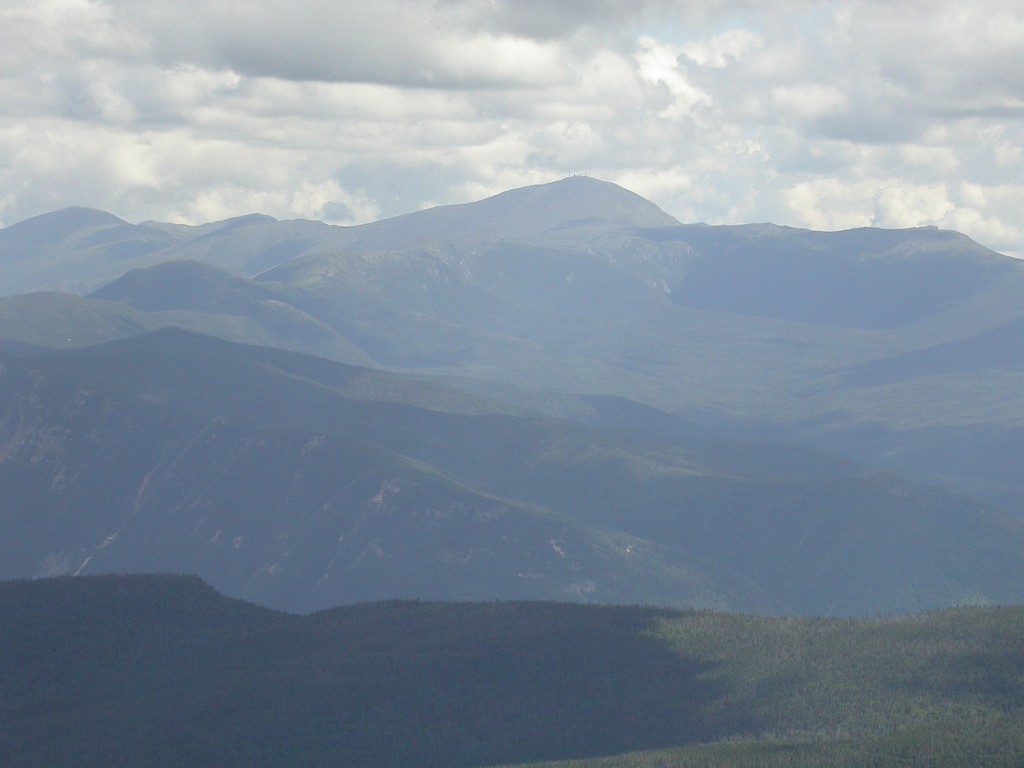
After the more gradual climbing of about a half mile or so the trail made a sharp turn to the west and then made a direct assault on the remaining distance to the top of the ridge. This section was still not as steep as the lower one but it really got my heart pumping. At the end of this climb I was finally rewarded with the magnificent views from the top of Signal Ridge. I could see Mount Washington to the northeast; the Pemigewasset Wilderness to the north; and the summit of Mount Carrigain to the northwest. There were just peaks and ridges and valleys all over creation and I really felt like I was in the mountains.
|
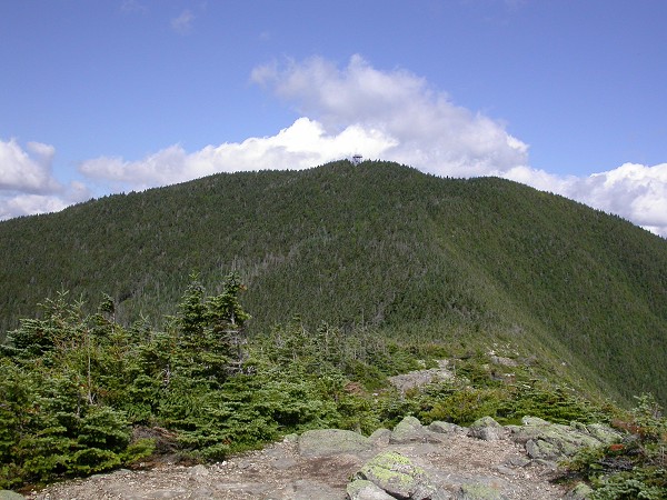
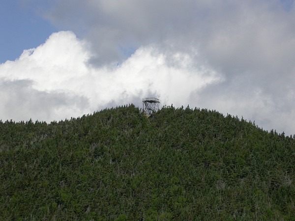
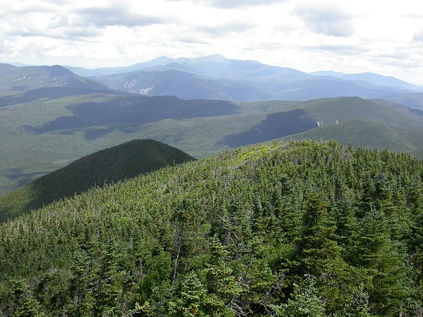
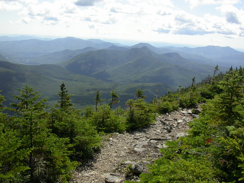
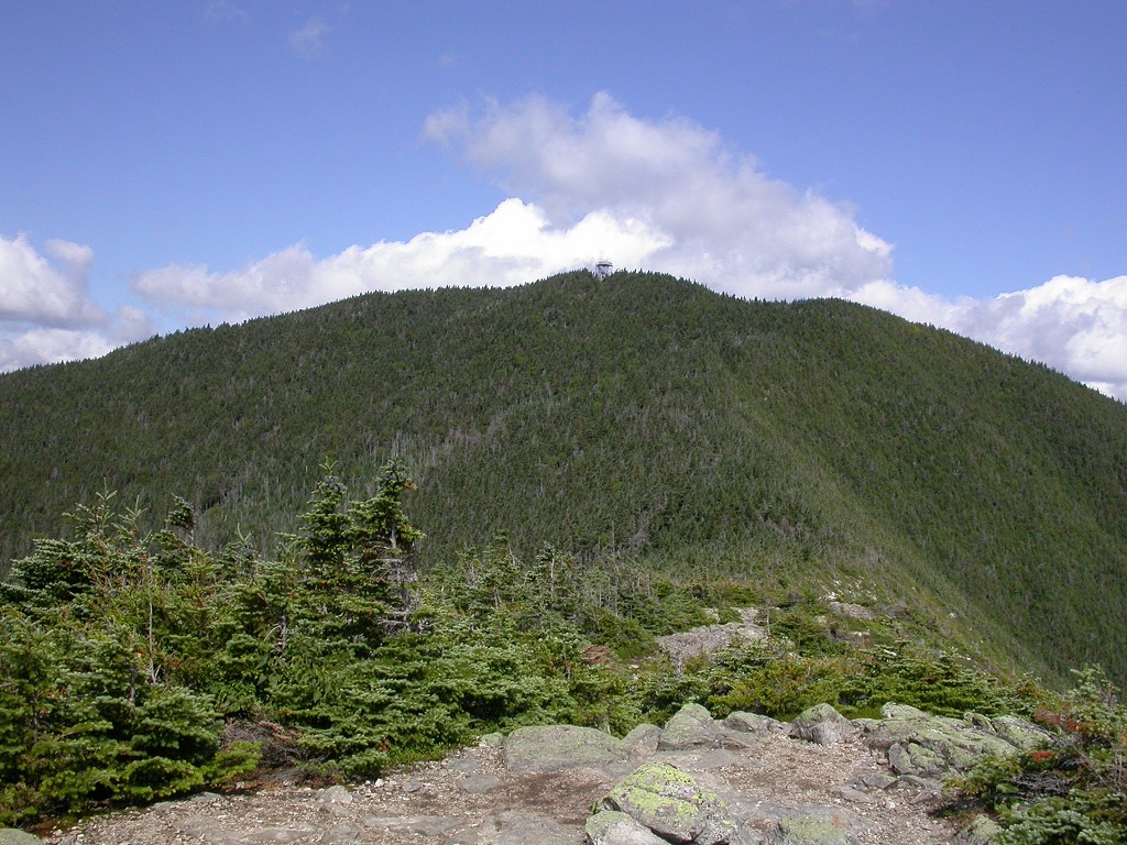
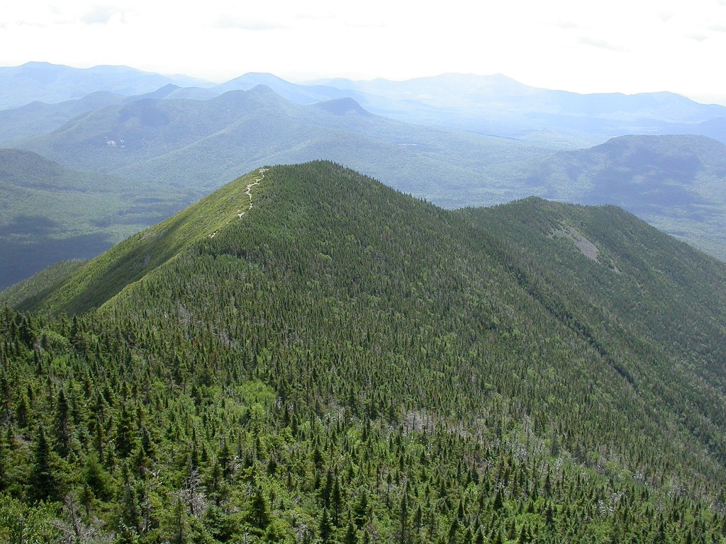
From Signal Ridge the Mount Carrigain summit still looks high up and far away but I covered that distance in no time at all. It is really only about a half mile to the top of the mountain once you reach the top of the ridge. The first quarter mile of that is basically flat, just along the top of the ridge and the last quarter mile the final climb to the summit. I summited Mount Carrigain at 10:30 and the climb ended up taking about 3 hours and 10 minutes. Of that I spent maybe 30 or 40 minutes in total at various rest stops and photo ops. The base of the trail was around 1400' and the summit around 4700' so the total elevation gain would be about 3300' over 5 miles. I spent about a half hour on the top, taking photos and talking with the one other person I had seen on the trail all morning, before starting back down.
|
I started down around 11:10 and was back at the parking lot a little before 2. I stopped for about 15 or 20 minutes at a spot with a very nice view to each some lunch before entering back into the mosquito zone.
|
The temperature was around 56°F when I started hiking and it probably went down into the upper 40s by the time I reached the top of Mount Carrigain. By the time I got back to the parking lot it was quite hot and probably in the mid to upper 80s.
|
|
|---|
|
|---|


